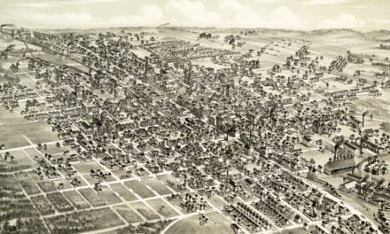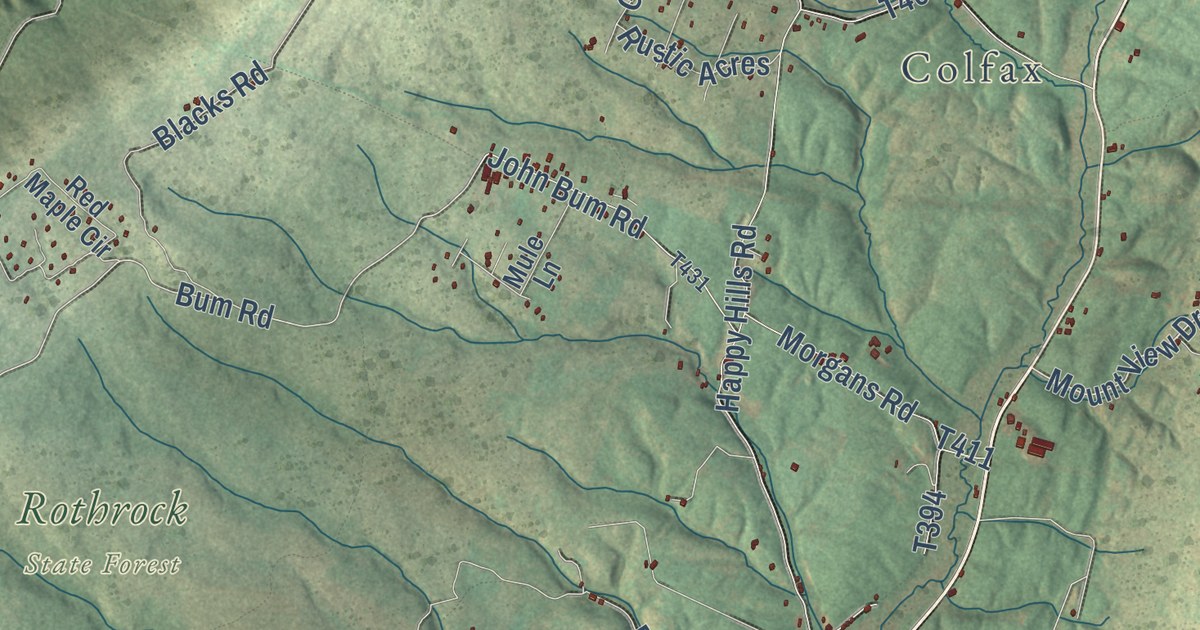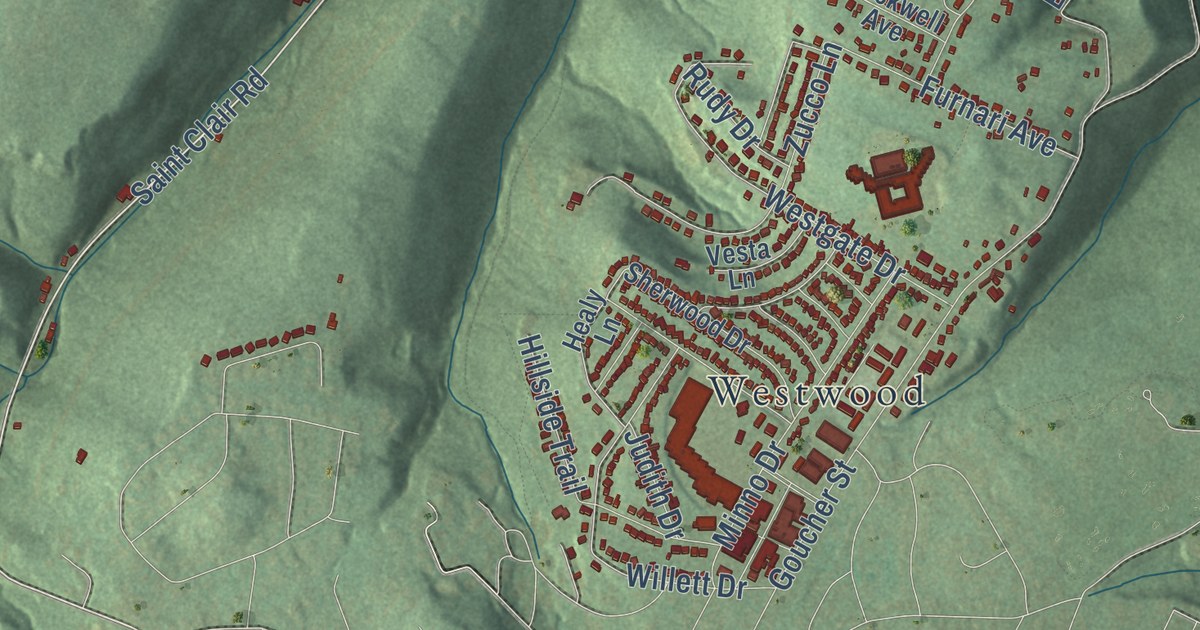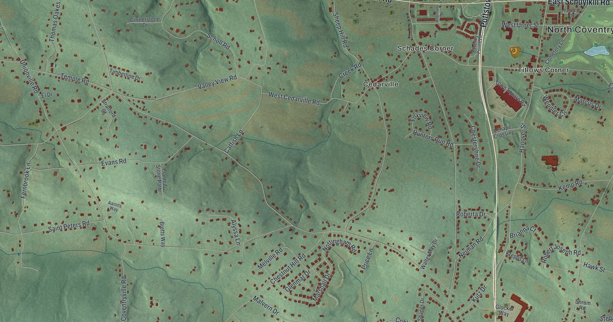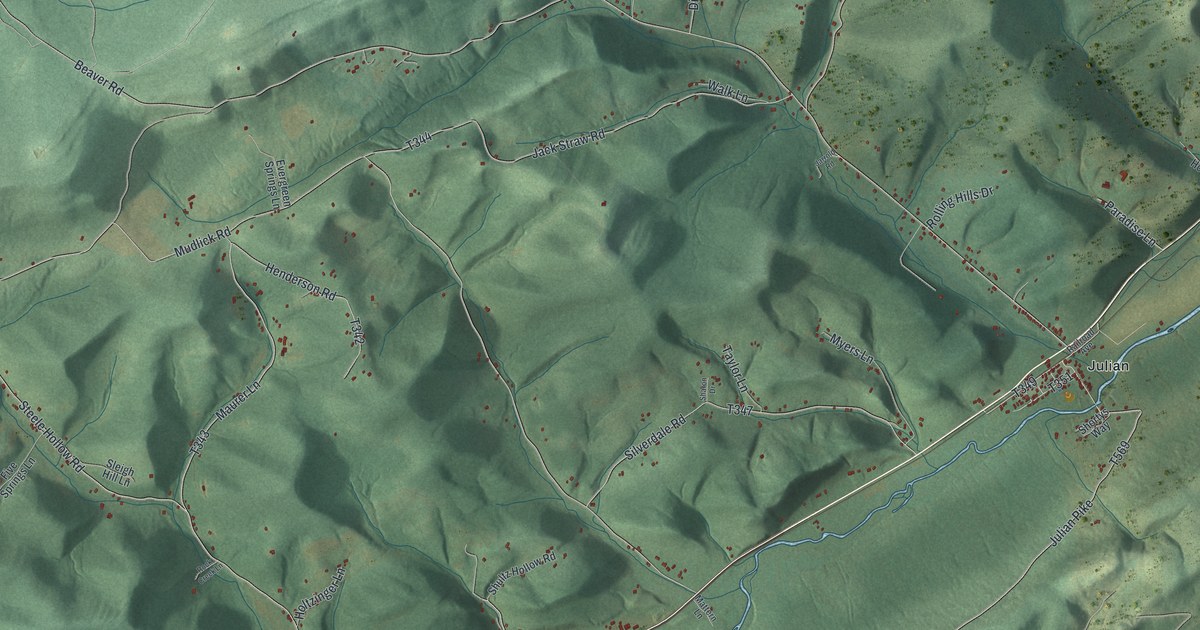
This beautifully detailed map of Huston, Centre County, Pennsylvania was created in 2026 using aerial imagery combined with modern topographical, census, street and landmark data. It’s a one-of-a-kind view of Huston that combines accurate data with a vintage aesthetic. The map shows every building in its true location, many of the roads carry their names, and the shaded topographic relief shows the shape of the land.
Explore an aerial view of Huston, Centre County, Pennsylvania
On the map you’ll find Moshannon State Forest, Julian, and Martha Furnace, along with South Eagle Valley Road, Twenty-Eighth Division Highway, Atherton Street, Steele Hollow Road, Maurer Lane, Julian Pike, and more. If you look closely you can even find your house accurately drawn in its correct location. Zoom in on the preview to look for yours.
Did you know this piece of Huston, Centre County, Pennsylvania history?
Huston was split off from Patton Township in 1838, because Muncy Mountain made public business hard for people on both sides. The court drew the new line along the top of the mountain. It named the new township for Charles Huston, a former president judge here who also sat on the state Supreme Court. That’s from the 1883 History of Centre and Clinton Counties, Pennsylvania.
Take a closer look at the Huston, Centre County map
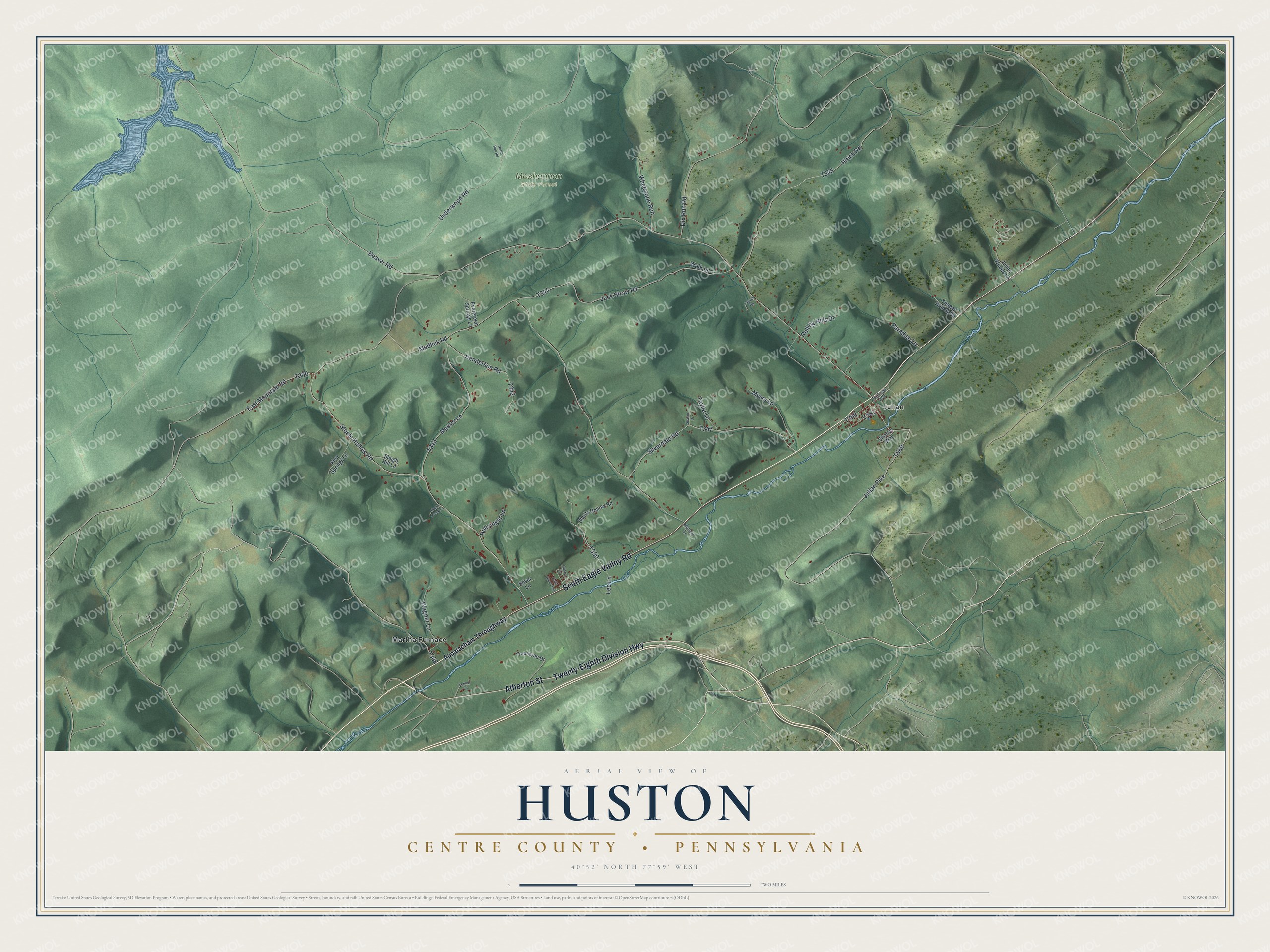
Street and place names on the Huston, Centre County, Pennsylvania map
These names are printed on the map of Huston, Centre County, Pennsylvania.
Places: Moshannon State Forest, Julian and Martha Furnace.
Streets and roads: South Eagle Valley Road, Twenty-Eighth Division Highway, Atherton Street, Steele Hollow Road, Maurer Lane, Julian Pike, Beaver Road, Mudlick Road, Underwood Road, Jack Straw Road, Silverdale Road, Ulrich Road.
More street names, A to Z
Appalachain Throughway, Catty Nine Trail, Dix Run Road, East Mountain Road, Evergreen Springs Lane, Five Springs Lane, Freestone Drive, Henderson Road, Holtzinger Lane, Jarrold Road, Julian Woods Lane, Kennel Lane, Lee Lane, Mattern Lane, Myers Lane, North Run Road, Paradise Lane, Quarry Lane, Railroad Avenue, Rock Creek Lane, Rolling Hills Drive, Sharon Drive, Shortys Way, Shultz Hollow Road, Sleigh Hill Lane, Stiver Lane, Taylor Lane, Wagner Lane, Walk Lane, Whetstone Run, Yeager Hollow Road.
See the Huston, Centre County, Pennsylvania map on a wall
The Huston, Centre County map as an 18 x 24 inch print in a black frame.

This beautifully detailed map of Huston, Centre County makes an attractive addition to your office, library, or den, and it can even be used to teach children the geography and history of the area. It also makes a great gift for someone who left Huston and still calls it home. When you’re done exploring, click here to get your copy of the Huston, Centre County map.