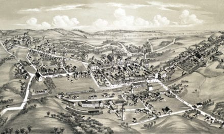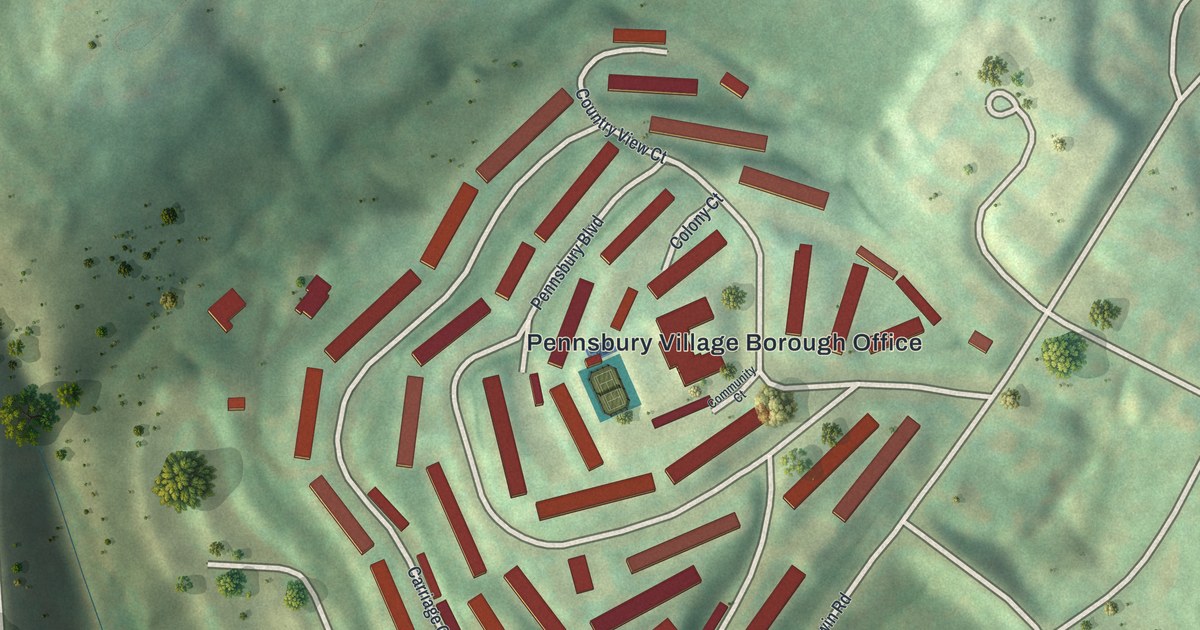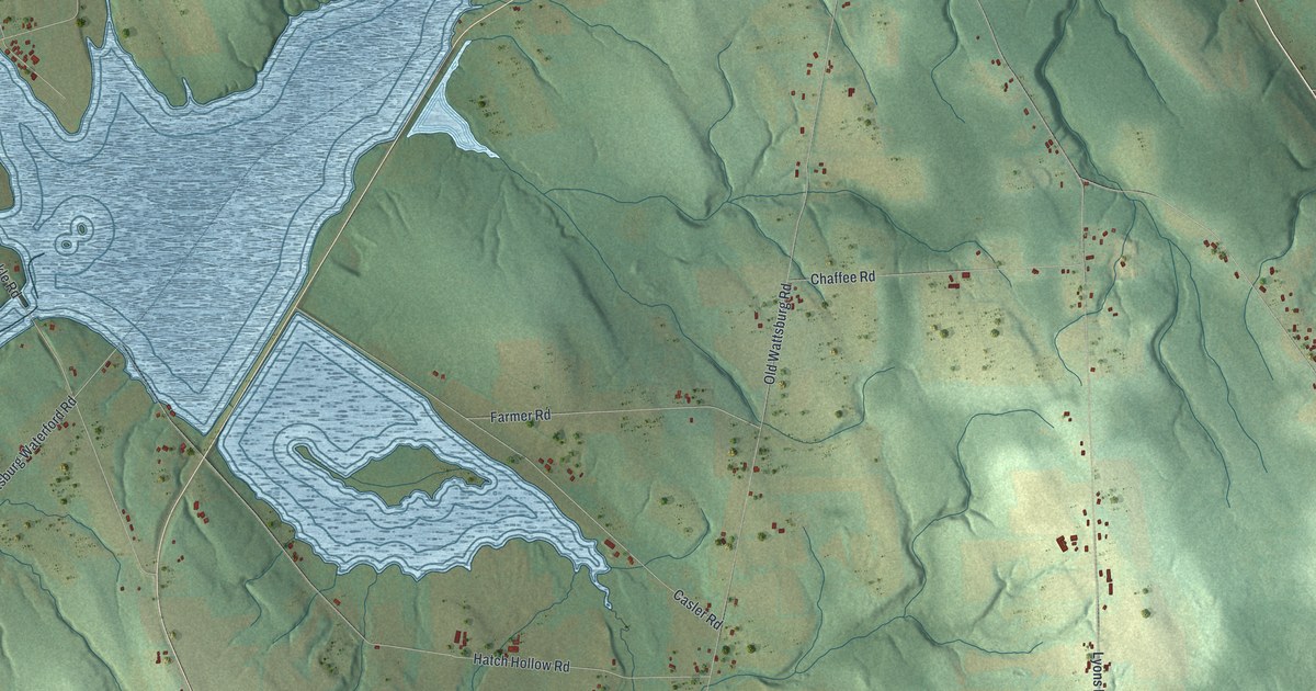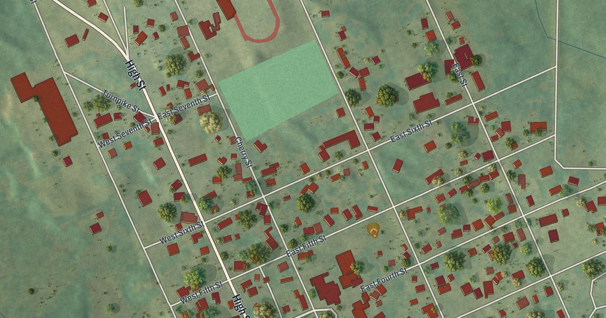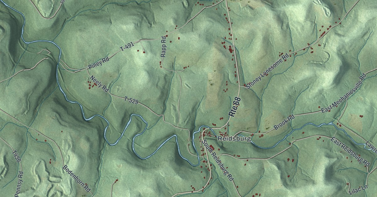
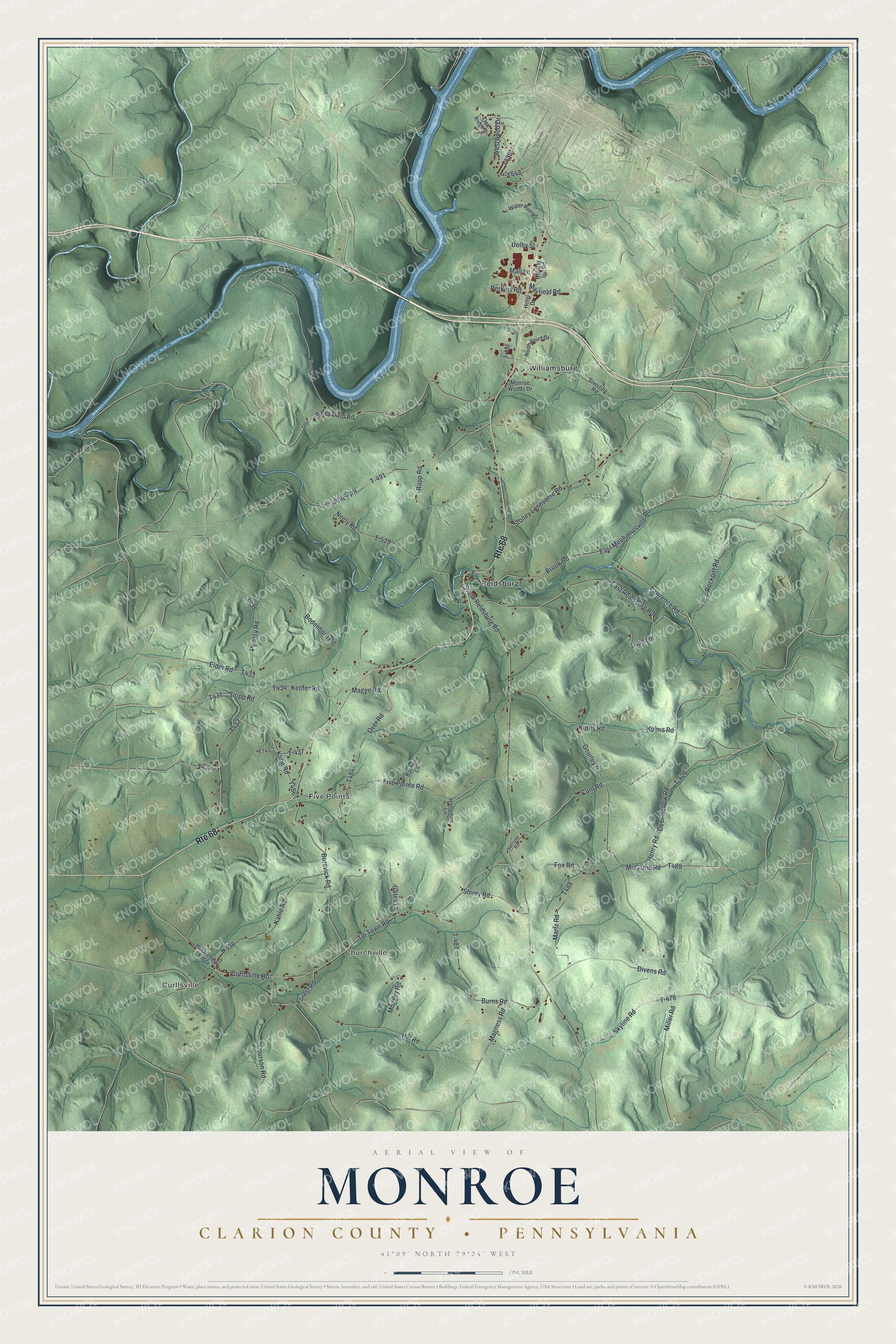
This beautifully detailed map of Monroe, Clarion County, Pennsylvania was created in 2026 using aerial imagery combined with modern topographical, census, street and landmark data. It's a modern aerial view of Monroe, Clarion County in Clarion County, Pennsylvania, that combines modern data with a vintage aesthetic. The roads feature printed names, and if you look closely you can find your exact house accurately shown in its correct location.
Explore an aerial view of Monroe, Clarion County, Pennsylvania
On this map you'll find Curllsville, Churchville, Five Points, Reidsburg, Williamsburg, McClune Road, T489, T436, Gourley Road, T438, T-478, Henry Road, and more. Each red shape is a building, so zoom in on the preview and look for yours.
Monroe, Clarion County has a story worth telling. The record at pa-roots.com puts it this way: "Hunter built the first hotel in 1848, and sold it to Reuben Shiry in 1855; it was burned in the following fall, but rebuilt some time since."
Monroe, Clarion County is a place in Clarion County. The Census Bureau counted 1,487 people here in 2020.
Take a closer look at the Monroe, Clarion County map
Names on this map
These names are printed on this map.
Places: Curllsville, Churchville, Five Points, Reidsburg and Williamsburg.
Streets and roads: Route 68, McClune Road, Gourley Road, T-478, Henry Road, T-525, Ketner Road, Rockpitt Road, South Reidsburg Road, East Reidsburg Road, Tin Town Road, Pennsy Road.
More street names, A to Z
Bashline Lane, Bodenhorn Road, Borovick Road, Brook Road, Burns Road, Courson Road, Curll Road, Curllsville Road, Deer Hollow Road, Divens Road, Dolby Street, East Mechanicsville Road, Elder Road, Five Pointe Road, Forest Road, Fox Road, Gates Lane, Halteman Lane, Harriger Road, Hill Road, Holiday Inn Road, Hotel Drive, Huckleberry Ridge, Kahle Road, Kline Road, Kuhns Road, Kurns Road, Lawrence Road, Lilac Lane, Magee Road, Magness Road, Mall Lane, Martz Road, Mayfield Road, Miller Road, Moggey Road, Monroe Woods Drive, Neely Road, North Point Drive, Oak Ridge Drive, Over Road, Perkins Road, Piney Dam Road, Piney Road, Rapp Road, River Road, Shirey Road, Siverling Road, Skyline Road, Stoney Lonesome Road, Stopp Road, T-436, T-437, T-487, T-491, T-529, Tr692, Water Run Road, Westwood Drive.
Created by KNOWOL in 2026. The buildings are small red shapes, the roads carry their printed names, and shaded relief shows the shape of the land. The title panel reads "AERIAL VIEW OF MONROE CLARION COUNTY • PENNSYLVANIA" with 4, 1, °, 0, 9, ', , N, O, R, T, H, , 7, 9, °, 2, 4, ', , W, E, S, T.
It looks right in a kitchen, an office or a den, and it's a gift for anyone who grew up in Monroe, Clarion County or moved away. Open the preview and find your street. See sizes and frames for the Monroe, Clarion County map.