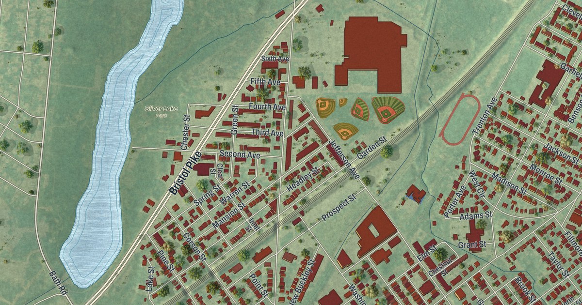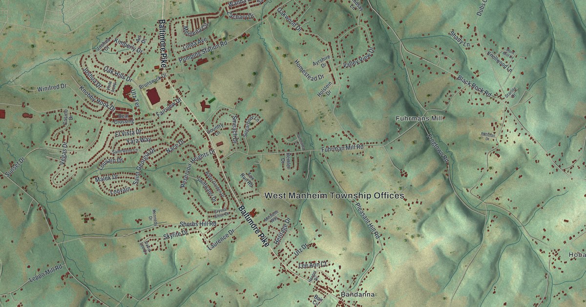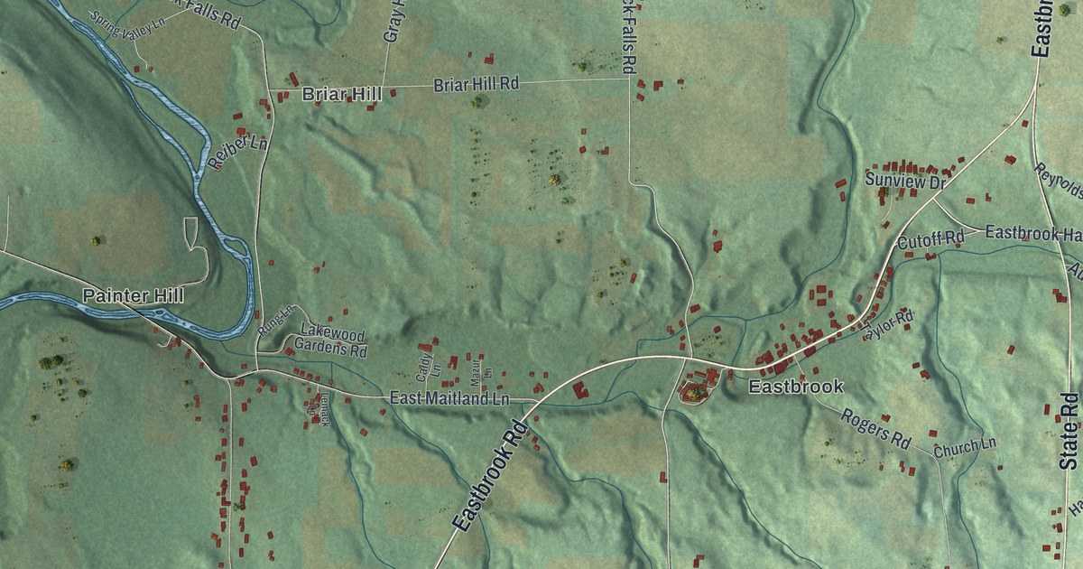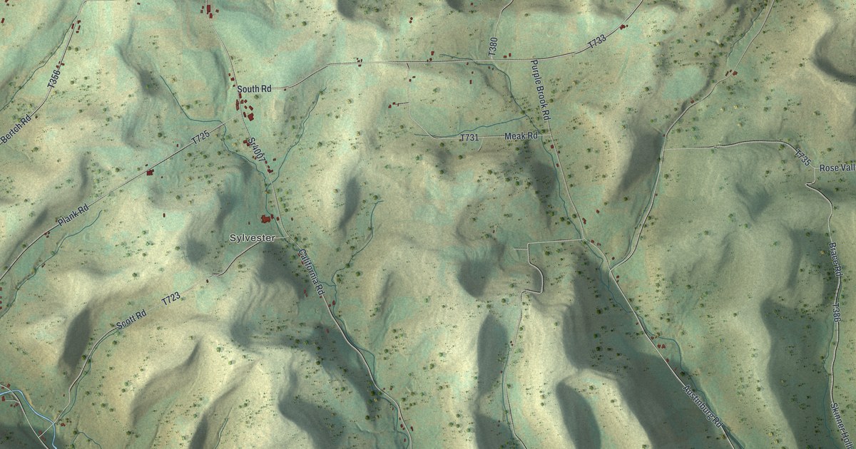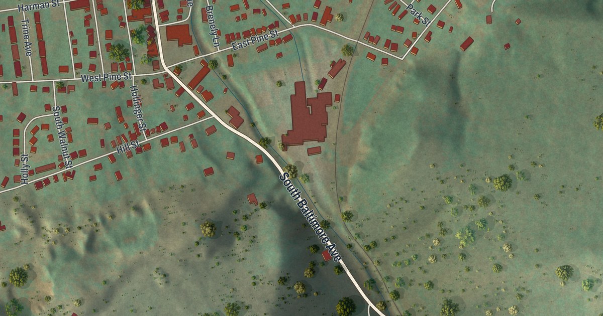
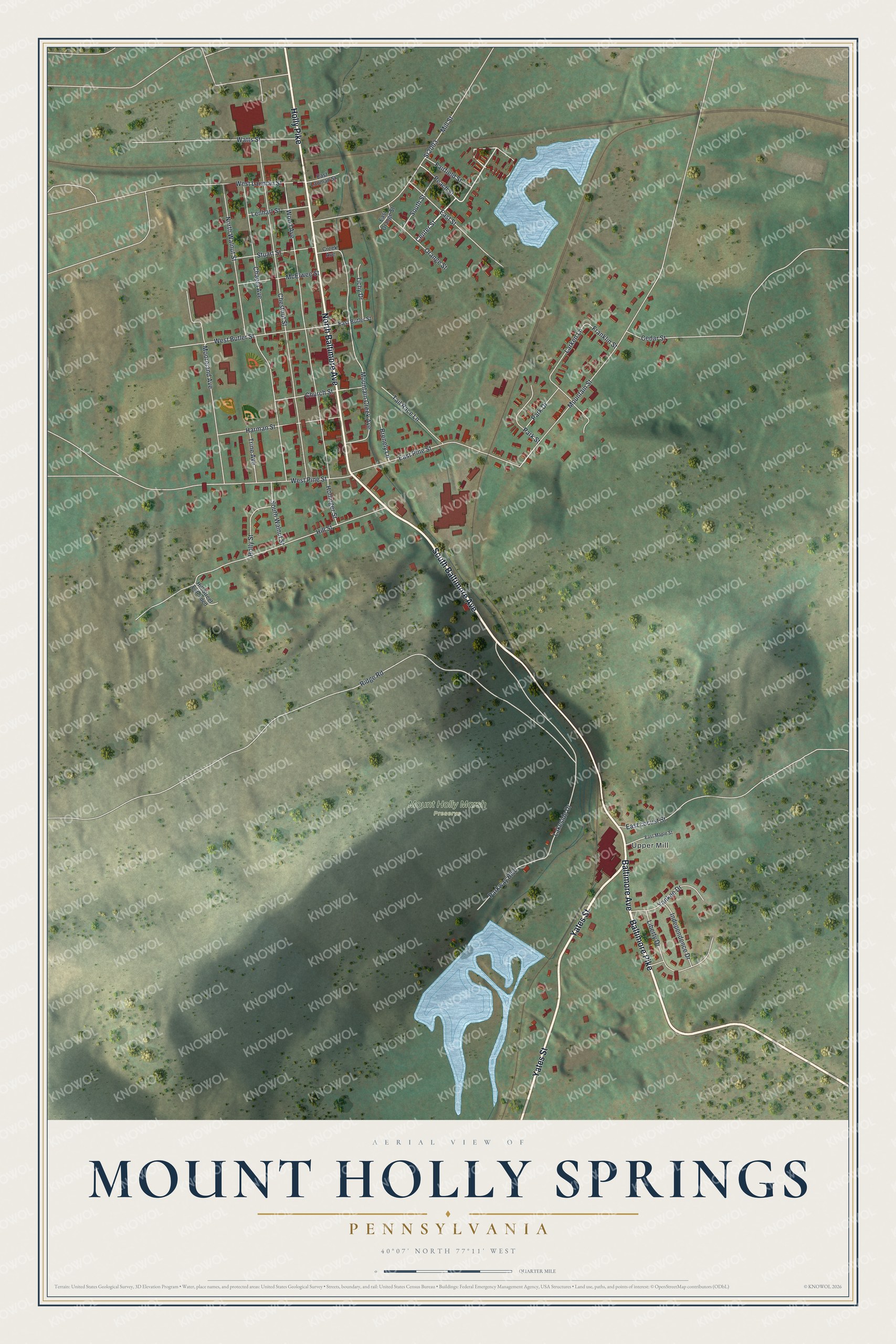
This beautifully detailed map of Mount Holly Springs, Pennsylvania was created in 2026 using aerial imagery combined with modern topographical, census, street and landmark data. It's a modern aerial view of Mount Holly Springs in Cumberland County, Pennsylvania, that combines modern data with a vintage aesthetic. The roads feature printed names, and if you look closely you can find your exact house accurately shown in its correct location.
Explore an aerial view of Mount Holly Springs, Pennsylvania
On this map you'll find Upper Mill, Mount Holly Marsh Preserve, Yates Street, Baltimore Pike, South Baltimore Avenue, North Baltimore Avenue, Baltimore Avenue, Holly Pike, Center Street, South Street, Ridge Road, Chestnut Street, and more. Each red shape is a building, so zoom in on the preview and look for yours.
Here is a piece of Mount Holly Springs history, in the words of the record. The Internet Archive puts it this way: "As to who built the first house we have no •
record, but it is certain that the oldest house of any importance erected within
the present borough limits was the old stone mansion of Mrs."
Mount Holly Springs is a borough in Cumberland County. The Census Bureau counted 1,995 people here in 2020.
Take a closer look at the Mount Holly Springs map
Names on this map
These names are printed on this map.
Places: Upper Mill and Mount Holly Marsh Preserve.
Streets and roads: Yates Street, Baltimore Pike, South Baltimore Avenue, North Baltimore Avenue, Baltimore Avenue, Holly Pike, Center Street, South Street, Ridge Road, Chestnut Street, Chapel Avenue, Wood Avenue.
More street names, A to Z
Brenely Lane, Cedar Street, Church Street, Creek Avenue, East Butler Street, East Lauman Street, East Locust Street, East Maple Street, East Orange Street, East Pine Street, East Street, Fairfield Street, Franklin Street, Harman Street, Hill Street, Hill Street Extended, Hollinger Street, Holly Street, Independence Drive, Lakeside Drive, Larken Lane, Lenhart Street, Liberty Drive, McElwee Street, Mill Street, Mooreland Avenue, Mountain Creek Avenue, Mountain Street, North Walnut Street, Orange Street, Park Drive, Park Street, Parkway Boulevard, Peach Street, South Walnut Street, Sr2003, Stuart Street, Tail Race Lane, Tichy Drive, Trine Avenue, Watts Street, West Butler Street, West Lauman Street, West Pine Street, Yankee Drive.
Created by KNOWOL in 2026. The buildings are small red shapes, the roads carry their printed names, and shaded relief shows the shape of the land. The title panel reads "AERIAL VIEW OF MOUNT HOLLY SPRINGS PENNSYLVANIA" with 4, 0, °, 0, 7, ', , N, O, R, T, H, , 7, 7, °, 1, 1, ', , W, E, S, T.
It suits a den, a classroom or a front hall, and it makes a gift for anyone with Mount Holly Springs roots. Open the preview and find the block you know. See sizes and frames for the Mount Holly Springs map.