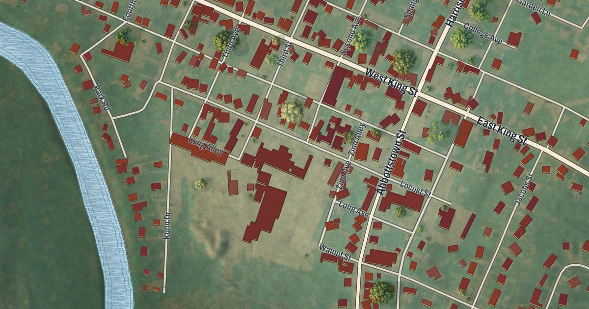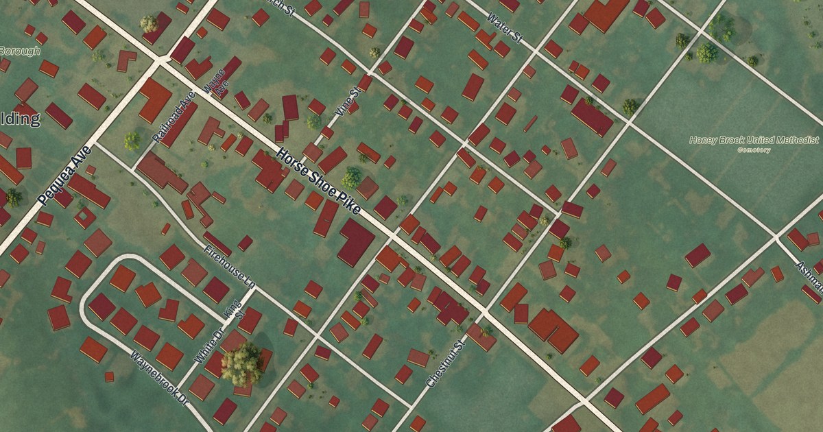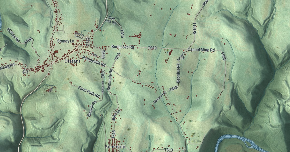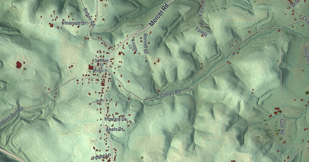
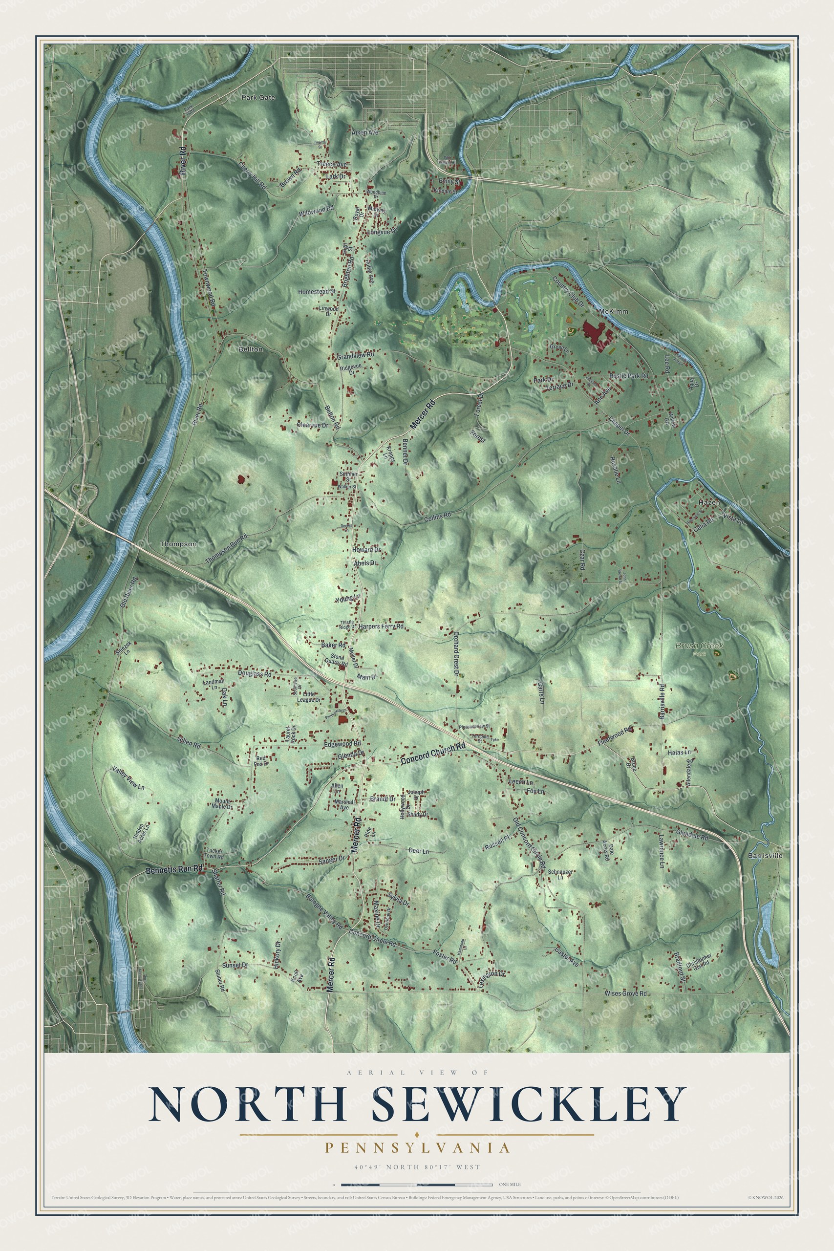
This beautifully detailed map of North Sewickley, Pennsylvania was created in 2026 using aerial imagery combined with modern topographical, census, street and landmark data. It's a modern aerial view of North Sewickley in Beaver County, Pennsylvania, that combines modern data with a vintage aesthetic. The roads feature printed names, and if you look closely you can find your exact house accurately shown in its correct location.
Explore an aerial view of North Sewickley, Pennsylvania
On this map you'll find Brush Creek Park, Barrisville, Bellton, Hazen, McKimm, Park Gate, Thompson, Mercer Road, River Road, Concord Church Road, Bennetts Run Road, Old Concord Circle Road, and more. Each red shape is a building, so zoom in on the preview and look for yours.
North Sewickley has a story worth telling. The record at data.pa.gov puts it this way: "Stiefel, the Swiss-born engineer, invented the rotary piercing process for making steel tubing, 1895."
North Sewickley is a place in Beaver County. The Census Bureau counted 5,495 people here in 2020.
Take a closer look at the North Sewickley map
Names on this map
These names are printed on this map.
Places: Brush Creek Park, Barrisville, Bellton, Hazen, McKimm, Park Gate and Thompson.
Streets and roads: Mercer Road, River Road, Concord Church Road, Bennetts Run Road, Old Concord Circle Road, Leech Lane, Concord Circle Road, Sunset Drive, Foster Road, Harpers Ferry Road, Brighton Road, Glendale Road.
More street names, A to Z
Abels Drive, Aiken Avenue, Allendale Road, Allen Lane, Ann Avenue, Aqua Drive, Baker Road, Barrisville Road, Belton Road, Bennet Drive, Bologne Valley Road, Bradford Street, Brandt Drive, Brown Road, Bruce Drive, Carrs Lane, Castel Avenue, Celia Road, Chapel Drive, Cherry Hill Road, Christopher Gist Road, Clearvue Drive, Collins Road, Country Club Drive, Czar Road, Dale Acres Road, Deer Lane, Dennis Lane, Douglass Road, Edgewood Road, Emily Street, Fleetwood Road, Forest, Forest Drive, Fox Lane, Gillen Road, Glenda Drive, Grandview Road, Green Lane, Halas Lane, Hammond Lane, Hickory Drive, Hidden Acres Lane, High Street, Hollywood Drive, Homestead Street, Howard Drive, Hutter Avenue, Jackson Drive, John Brown Street, Joseph Drive, Kindale Street, Knoll Avenue, Krepps Lane, Landman Lane, Lark Drive, Laurel Rock Drive, Lawrence Lane, Lee Road, Lexington Drive, Linwood Drive, Little League Drive, Longvue Drive, Main Drive, Marshall Avenue, Maxine Drive, Meiter Drive, Midway Drive, Mount Maple Drive, Oak Lane, Old Frisco Hl, Old River Road, Orchard Crest Drive, Overlook Drive, Pantherette Lane, Park Drive, Pine Lane, Pleasantview Street, Pullman Station, Red Fox Drive, Ridgevue Drive, Riverview Street, Rosalie Lane, Royal Drive, Russell Place, Rustic Park Road, Sanger Drive, Schnauzer Lane, Shady Drive, Shaffer Road, Sniezek Lane, Southvue Drive, Stone Quarry Road, Stuber Road, Sumner Street, Sylvia Drive, Terrace Drive, Third Avenue East, Thistle Ridge Drive, Thompson Run Road, Townwood Road, Treece Avenue, Tucker Town Road, Turnpike, Turnpike Street, Twelfth Street, Valley View Lane, Vista Lane, Walker Street, Wildwood Road, Willow Grv, Wises Grove Road, Woodbine Drive, Young Lane.
Created by KNOWOL in 2026. The buildings are small red shapes, the roads carry their printed names, and shaded relief shows the shape of the land. The title panel reads "AERIAL VIEW OF NORTH SEWICKLEY PENNSYLVANIA" with 4, 0, °, 4, 9, ', , N, O, R, T, H, , 8, 0, °, 1, 7, ', , W, E, S, T.
It looks right in a kitchen, an office or a den, and it's a gift for anyone who grew up in North Sewickley or moved away. Open the preview and find your street. See sizes and frames for the North Sewickley map.