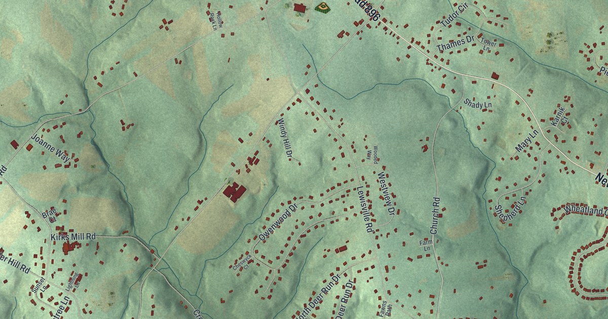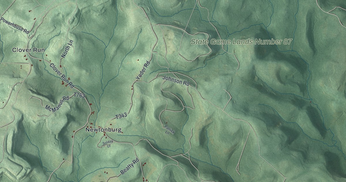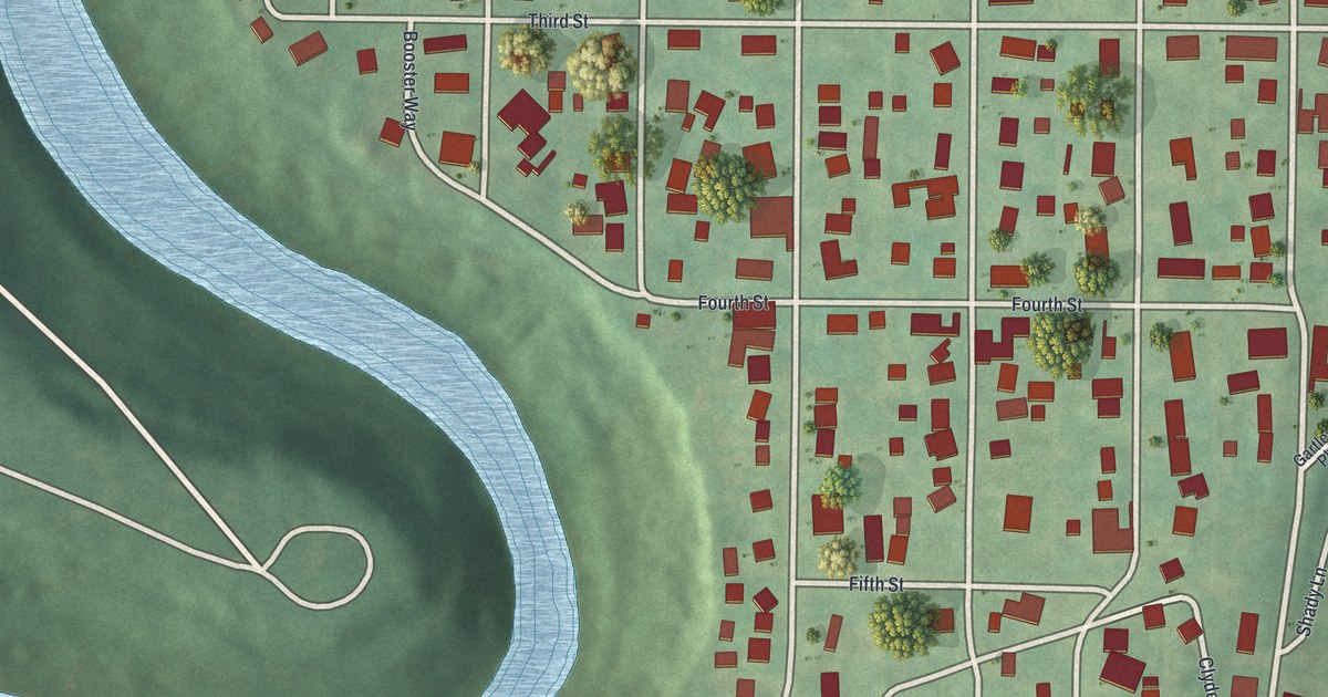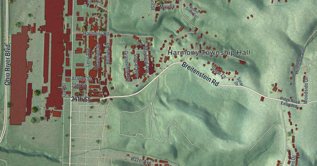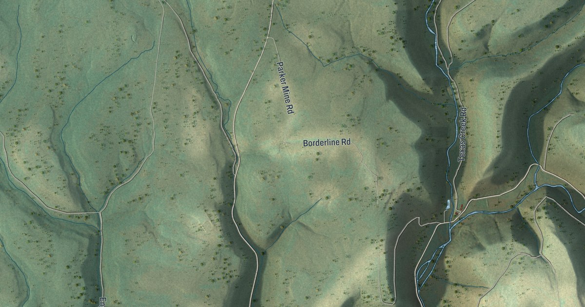
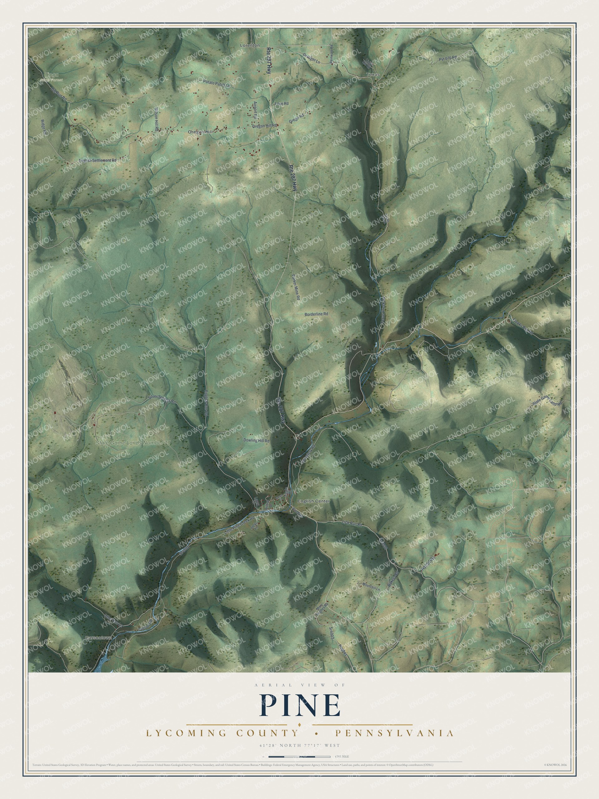
This beautifully detailed map of Pine, Lycoming County, Pennsylvania was created in 2026 using aerial imagery combined with modern topographical, census, street and landmark data. It's a modern aerial view of Pine, Lycoming County in Lycoming County, Pennsylvania, that combines modern data with a vintage aesthetic. The roads feature printed names, and if you look closely you can find your exact house accurately shown in its correct location.
Explore an aerial view of Pine, Lycoming County, Pennsylvania
On this map you'll find Carsontown, Texas, State Game Lands Number 75, Tioga State Forest, English Center, Lorenton, Oregon Hill, Lick Run Road, Sr4006, Oregon Hill Road, Hughes, English Run Road, and more. Each red shape is a building, so zoom in on the preview and look for yours.
Here is a piece of Pine, Lycoming County history, in the words of the record. The Internet Archive puts it this way: "The great flood of June 1, 1889, tore through this ravine with terrific
force, destroying fine bottom farm lands by covering them with sand and stones,
sweeping away fences, bridges, mills, and houses, leaving utter desolation behind."
Pine, Lycoming County is a place in Lycoming County. The Census Bureau counted 258 people here in 2020.
Take a closer look at the Pine, Lycoming County map
Names on this map
These names are printed on this map.
Places: Carsontown, Texas, State Game Lands Number 75, Tioga State Forest, English Center, Lorenton and Oregon Hill.
Streets and roads: Route 287 Highway, Lick Run Road, Sr4006, Oregon Hill Road, Hughes, English Run Road, Texas Creek Road, Little Pine Creek Road, Sr4001, Silver Springs Road, Cemetery Road, Big Run Road.
More street names, A to Z
Airport Road, Bakers Road, Borderline Road, Carson Road, Dowling Hill Road, English Settlement Road, Flooks Run Road, Granger Lane, Grasso Lane, Grego Road, Harlan Heights, Hilltop Drive, Jacks Lane, Lacey Lane, Linck Hill Road, Love Road, Mary Hughes Road, Mountain Lane, Otter Run Lane, Parker Mine Road, Potato Patch Lane, Pvt 076 Road, Reinwald Road, Ridge Road, Sr4003, State Game Land Road, Texas Creek, Tipple Road, Wilson Hill Road, Wood Road.
Created by KNOWOL in 2026. The buildings are small red shapes, the roads carry their printed names, and shaded relief shows the shape of the land. The title panel reads "AERIAL VIEW OF PINE LYCOMING COUNTY • PENNSYLVANIA" with 4, 1, °, 2, 8, ', , N, O, R, T, H, , 7, 7, °, 1, 7, ', , W, E, S, T.
It suits a den, a classroom or a front hall, and it makes a gift for anyone with Pine, Lycoming County roots. Open the preview and find the block you know. See sizes and frames for the Pine, Lycoming County map.