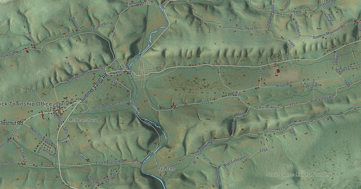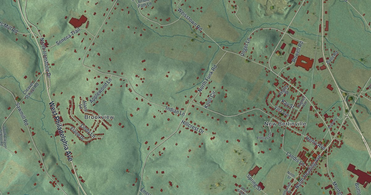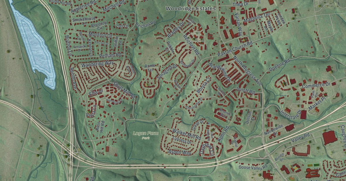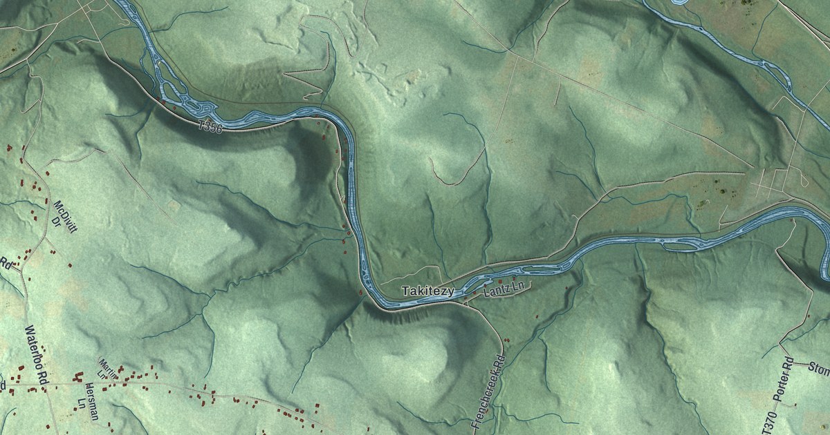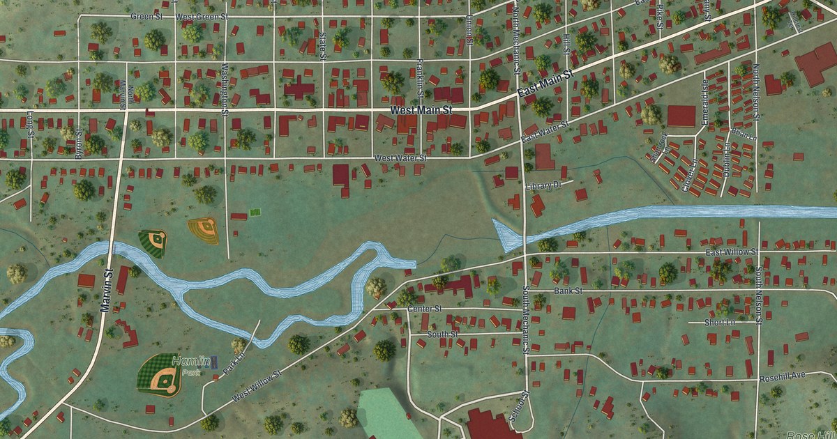
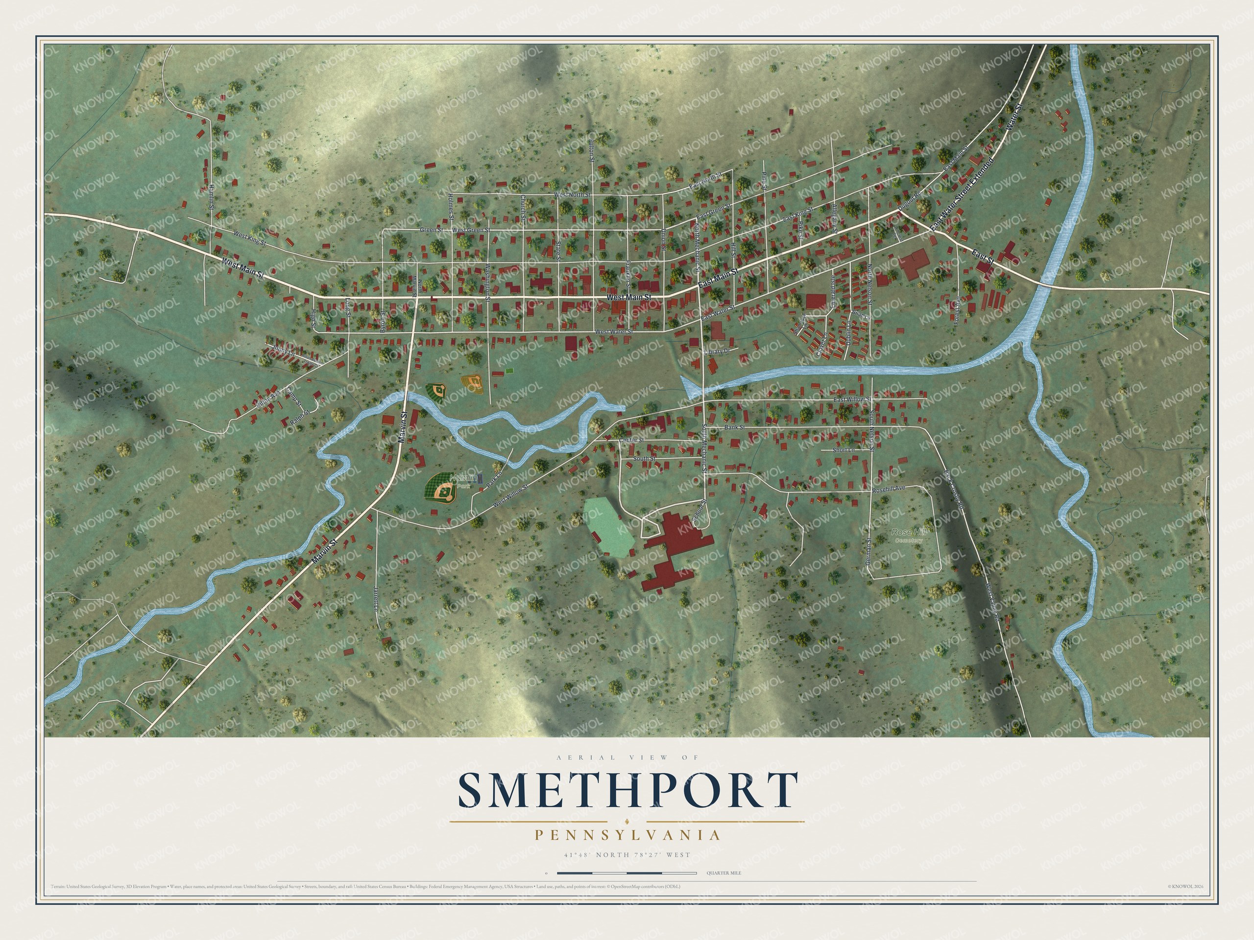
This beautifully detailed map of Smethport, Pennsylvania was created in 2026 using aerial imagery combined with modern topographical, census, street and landmark data. It's a modern aerial view of Smethport in McKean County, Pennsylvania, that combines modern data with a vintage aesthetic. The roads feature printed names, and if you look closely you can find your exact house accurately shown in its correct location.
Explore an aerial view of Smethport, Pennsylvania
On this map you'll find Hamlin Park, Rose Hill Cemetery, West Main Street, Marvin Street, East Main Street, East Water Street Extended, Water Street, East Street, School Street, South Mechanic Street, North Mechanic Street, Center Street, and more. Each red shape is a building, so zoom in on the preview and look for yours.
Smethport has a story worth telling. The Internet Archive puts it this way: "The trip hither
from Angelica was through sixty miles of wilderness without one inhabitant,
and from the effects of such a journey he fell sick soon after settlement, and
he and his wife were almost on the point of starving when he became strong
enough to hunt."
Smethport is a borough in McKean County. The Census Bureau counted 1,436 people here in 2020.
Take a closer look at the Smethport map
Names on this map
These names are printed on this map.
Places: Hamlin Park and Rose Hill Cemetery.
Streets and roads: West Main Street, Marvin Street, East Main Street, East Water Street Extended, Water Street, East Street, School Street, South Mechanic Street, North Mechanic Street, Center Street, West Green Street, West Water Street.
More street names, A to Z
Allegany Street, Back Crosby Road, Bank Street, Brian Lane, Byron Street, Camp Street, Church Street, Clover Lane, Dublin Lane, Dugout Road, East Green Street, East King Street, East North Street, East Water Street, East Willow Street, Emerald Isle, Forest Avenue, Franklin Street, Fulton Street, German Street, Green Street, Hamlin Street, High Street, Hillcrest Terrace, Hill Street, Hilton Avenue, Hilton Avenue Trailer Court, Holmes Street, Jarrett Lane, Jonny Lane, Library Drive, Long Street, North Marvin Street, North Nelson Street, Park Lane, Pike Street, Pine Street, Ralph Street, Rosehill Avenue, Shamrock Lane, Short Lane, South Nelson Street, South Street, State Street, Union Street, Washington Street, West King Street, West North Street, West Valley Road, West Willow Street.
Created by KNOWOL in 2026. The buildings are small red shapes, the roads carry their printed names, and shaded relief shows the shape of the land. The title panel reads "AERIAL VIEW OF SMETHPORT PENNSYLVANIA" with 4, 1, °, 4, 8, ', , N, O, R, T, H, , 7, 8, °, 2, 7, ', , W, E, S, T.
It looks right in a kitchen, an office or a den, and it's a gift for anyone who grew up in Smethport or moved away. Open the preview and find your street. See sizes and frames for the Smethport map.