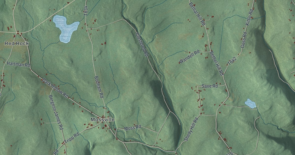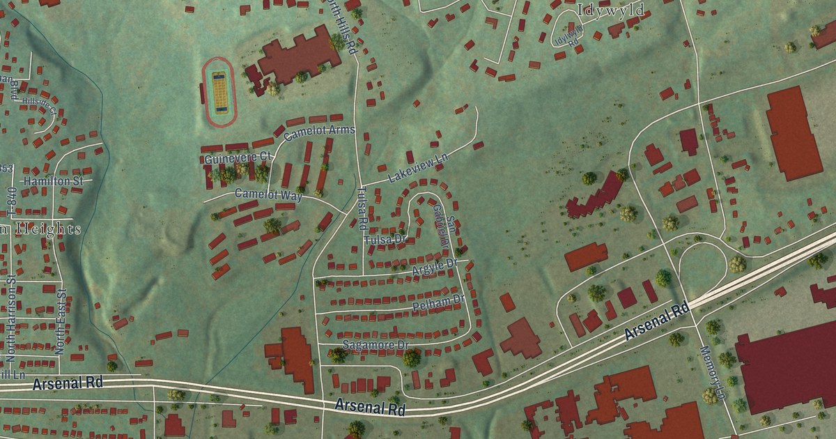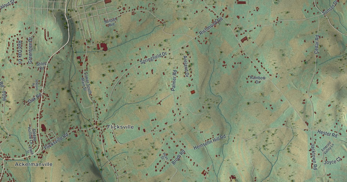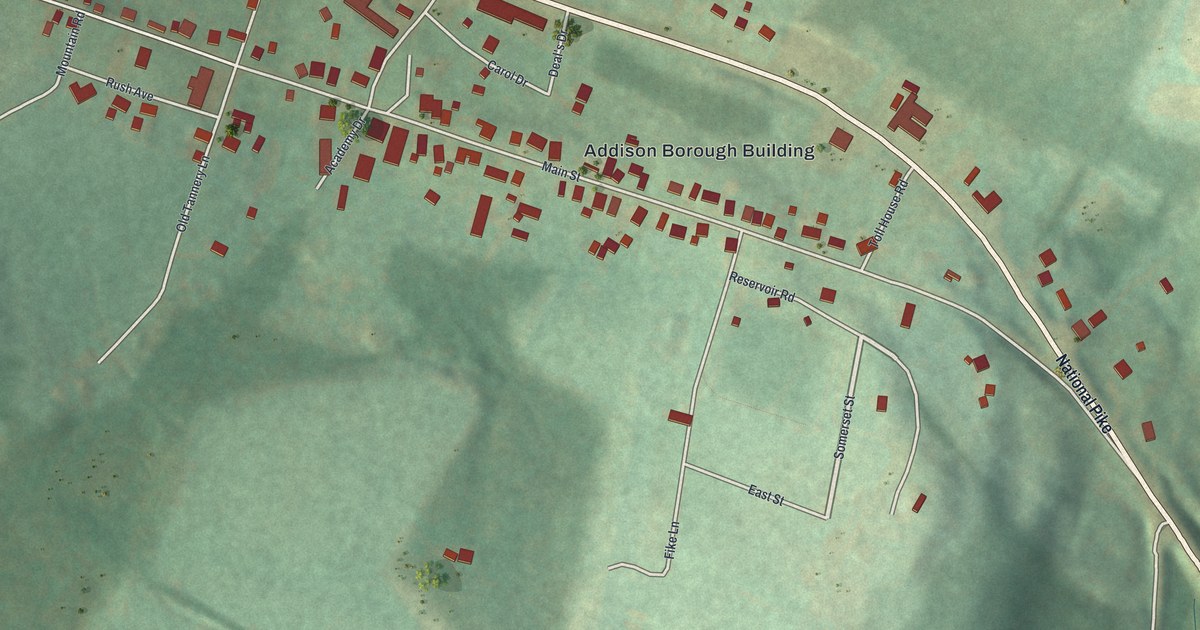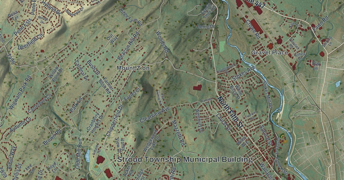
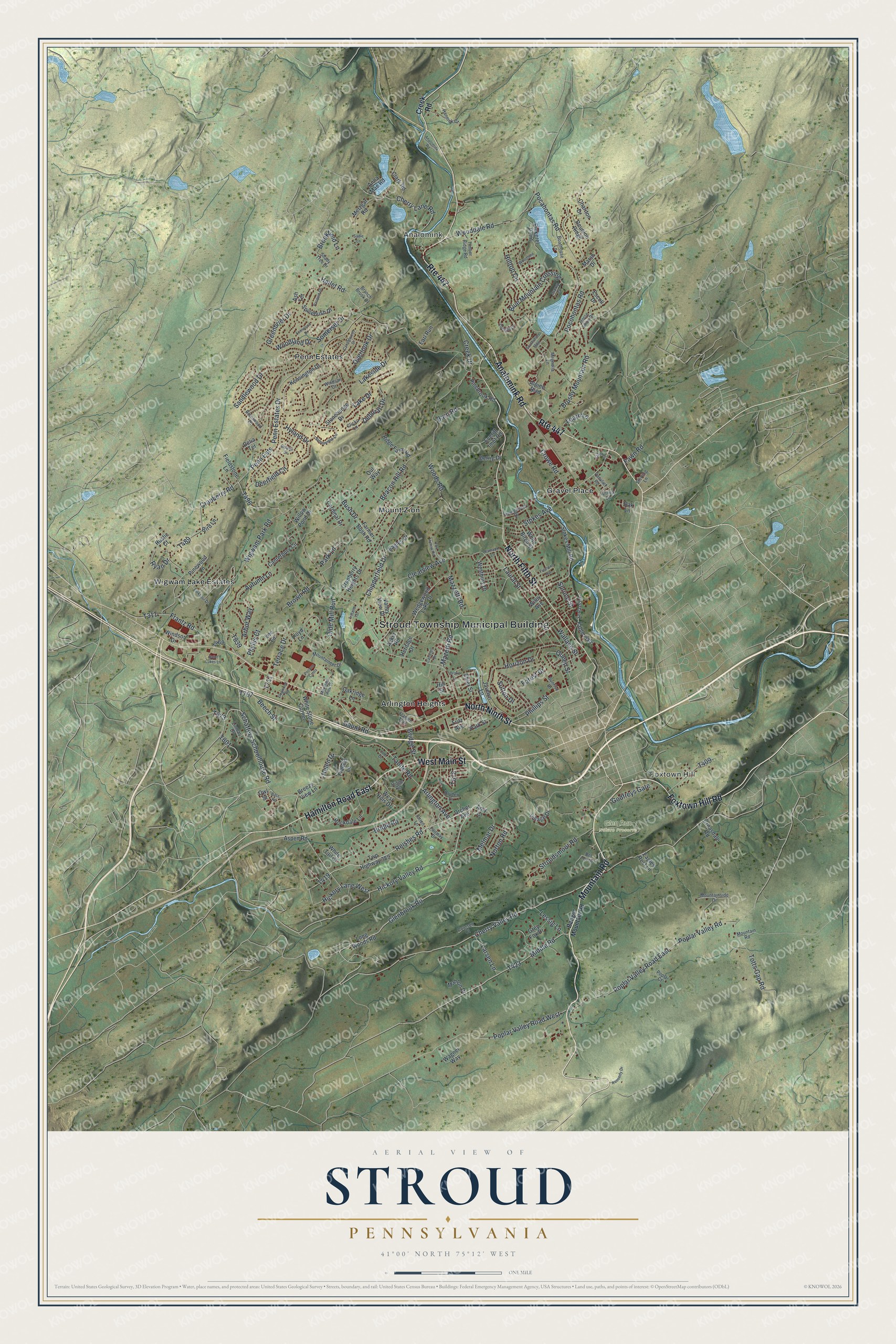
This beautifully detailed map of Stroud, Pennsylvania was created in 2026 using aerial imagery combined with modern topographical, census, street and landmark data. It’s a one-of-a-kind view of Stroud that combines accurate data with a vintage aesthetic. The map shows every building in its true location, many of the roads carry their names, and the shaded topographic relief shows the shape of the land.
Explore an aerial view of Stroud, Pennsylvania
On the map you’ll find Stroud Township Municipal Building, Analomink, Foxtown Hill, Glen Run Nature Preserve, Arlington Heights, Gravel Place, Mount Zion, Penn Estates, and Wigwam Lake Estates, along with Mountain Road, Foxtown Hill Road, Hamilton Road East, and more. If you look closely you can even find your house accurately drawn in its correct location. Zoom in on the preview to look for yours.
Did you know this piece of Stroud, Pennsylvania history?
From the 1886 History of Wayne, Pike, and Monroe Counties, Pennsylvania: "The first night of their flight a halt was made at Cherry Valley, twelve miles distant, and the following morning a weary march of four hundred miles was begun, the mother often being so exhausted that it was necessary to urge her on with a weapon at the back."
Take a closer look at the Stroud map
Street and place names on the Stroud, Pennsylvania map
These names are printed on the map of Stroud, Pennsylvania.
Places: Stroud Township Municipal Building, Analomink, Foxtown Hill, Glen Run Nature Preserve, Arlington Heights, Gravel Place, Mount Zion, Penn Estates and Wigwam Lake Estates.
Streets and roads: Mountain Road, Foxtown Hill Road, Route 447, Hamilton Road East, North Fifth Street, Analomink Road, North Ninth Street, West Main Street, Glenbrook Road, Hickory Valley Road, Schaffers Schoolhouse Road, Reishes Road.
More street names, A to Z
Acker Road, Alpine Boulevard, Althea Lane, Amy Court, Anna Mae Road, Arbor Way, Arlington Avenue, Ash Terrace, Aspen Road, Autumn Lane, Bangor Mountain Road, Barn Road, Bass Road, Beacon Hill Road, Beech Street, Belaire Drive, Bel Tor Drive, Bird Lane, Blue Mountain Crossing, Boathouse Lane, Branch Brook Drive, Breezy View Lane, Brentwood Drive, Bridge Street, Bridle Road, Brookfield Lane, Brown Road, Brushy Mountain Road, Bush Drive, Camelot Drive, Candlewood Drive, Canterbury Circle, Cardinal Drive, Chariton Drive, Cherry Lane Road, Cherry Valley Road, Chipperfield Drive, Clark Road, Clearview Avenue, Clicko Lane, Coursen Court, Cranberry Heights Drive, Cranberry Road, Creek Drive, Creek Road, Croasdale Road, Crowe Road, Daffodil Drive, Deborah Drive, Deerfield Circle, Delia Terrace, Derrig Drive, Dogwood Road, Drake Lane, Drcher Avenue, Dryden Drive, Eagles Court, Eagles Rest Lane, Earl Run, Ehler Street, Escoll Drive, Everitt Imbt Road, Fable Flats, Fairway Drive, Farmer Bush Road, Fawn Road, Fernwood Drive, Fieldstone Lane, Flagler Trail, Forest Drive, Fox Hollow Road, Francis Lane, Frantz Road, Fremont Avenue, Fritz Avenue, Gaunt Road, Godfreys Gate, Greenbrier Drive, Grey Fox Drive, Hallet Road, Hannick Court, Helen Drive, Heritage Drive, Hickory Lane West, Hill Street, Hilltop Circle, Horizon Drive, Horse Shoe Drive, Hyland Drive, Javelyn Lane, Jodi Drive, Katie Lane, Kennedy Drive, Kensington Drive, Lake Drive, Lakeside Drive, Larkspur Drive, Larsen Lane, Laural Street, Learn Lane, Lee Lane, Lessig Lane, Linmar Drive, Lloyd Lane, Long Woods Road, Magnolia Lane, Mahlon Drive, Marsh Drive, Mazetti Road, Mazzetti Road, Melmar Drive, Metzgar Road, Middle Road, Mountaineer Drive, Mountainside Drive, Mountain View Drive, Norton Road, Oak Lane, Oakridge Lane, Olde Mill Run, Orien Lane, Osprey Court, Our Way, Overlook Drive, Owl Street, Park Lane, Park Street, Pasquin Drive, Penn Estates Drive, Penn Ests, Phillips Street, Phyllis Court, Pickerel Point, Pinebrook Road, Pinewood Lane, Pocahontas Road, Pocohontas Road, Pocono Cmns, Poplar Court, Poplar Valley Road, Poplar Valley Road East, Poplar Valley Road West, Queen Street, Ramapo Lane, Reunion Ridge, Ridge Farm Road, Ridge Road, Rockdale Lane, Rustic Court, Ryan Drive, Sadie Lane, Saint Lukes Lane, Sandlewood Drive, Serfass Lane, Shady Tree Drive, Somerset Drive, Southshore Mdw, Spicebush Drive, Spruce Street, Sterling Lane, Stokes Avenue, Stokes Mill Road, Stonehenge Drive, Stroudsmoor Road, Summerton Circle, Sunrise Drive, Sutton Drive, Tanite Road, Terrace Drive, Timber Ridge Road, Totts Gap Road, Trilland Terrace, Twp Highway 389, Valley View Drive, Vanvliet Road, Village Drive, Wagner Way, Wallace Street, Wedgewood Lake Drive, Westbury Drive, West Hills Drive, White Birch Street, White Stone Corner, White Tail Court, Wigwam Park Road, Wiley Avenue, Willow Pond Drive, Windsor Court, Windsor Drive, Woodbine Lane, Wooddale Road, Woodland Drive, Woods Road, Youngwood Drive.
See the Stroud, Pennsylvania map on a wall
The Stroud map as an 18 x 24 inch print in a black frame.

This beautifully detailed map of Stroud makes an attractive addition to your office, library, or den, and it can even be used to teach children the geography and history of the area. It also makes a great gift for anyone who grew up in Stroud or moved away. When you’re done exploring, click here to get your copy of the Stroud map.