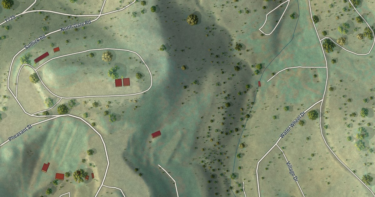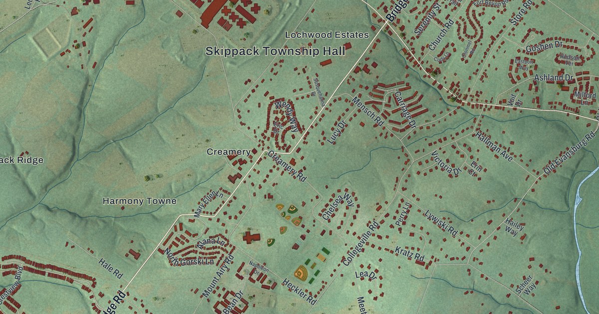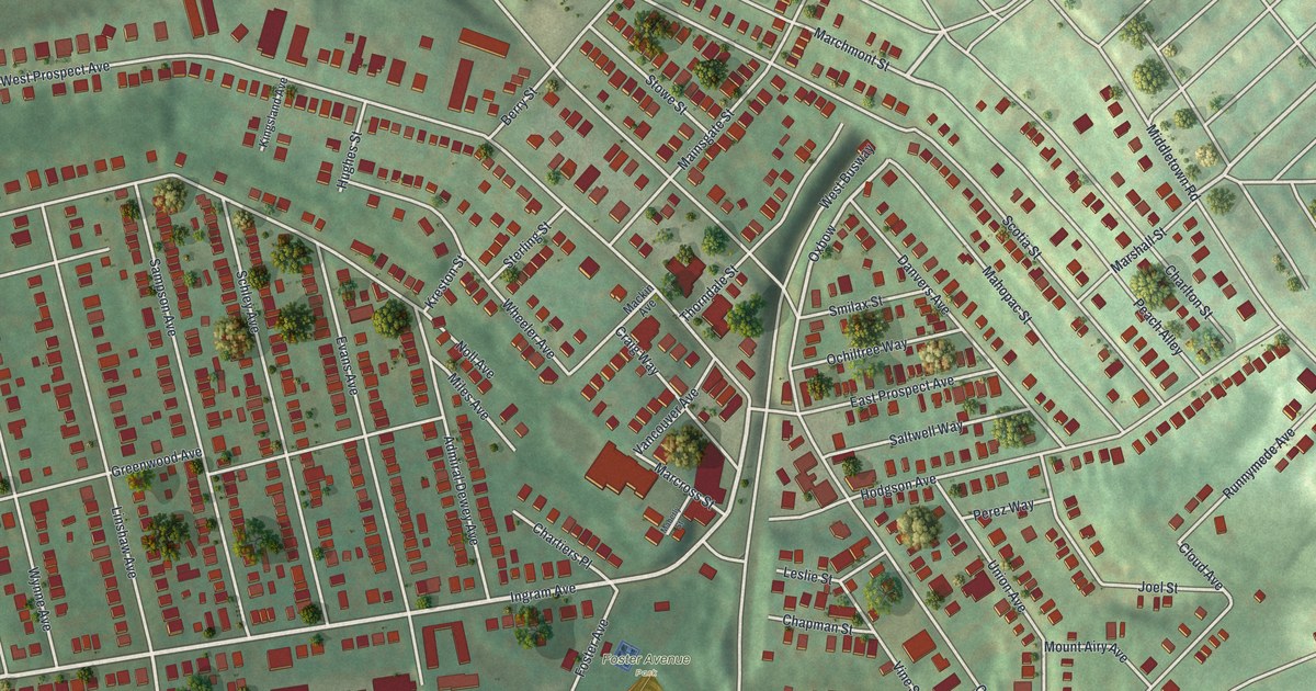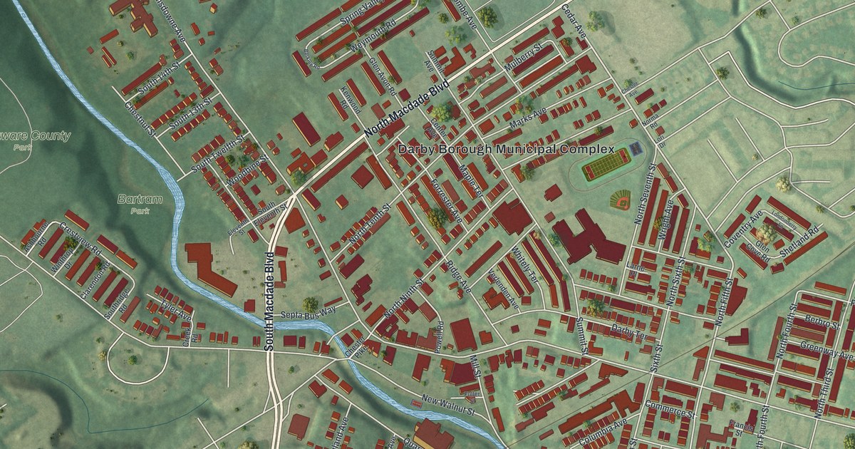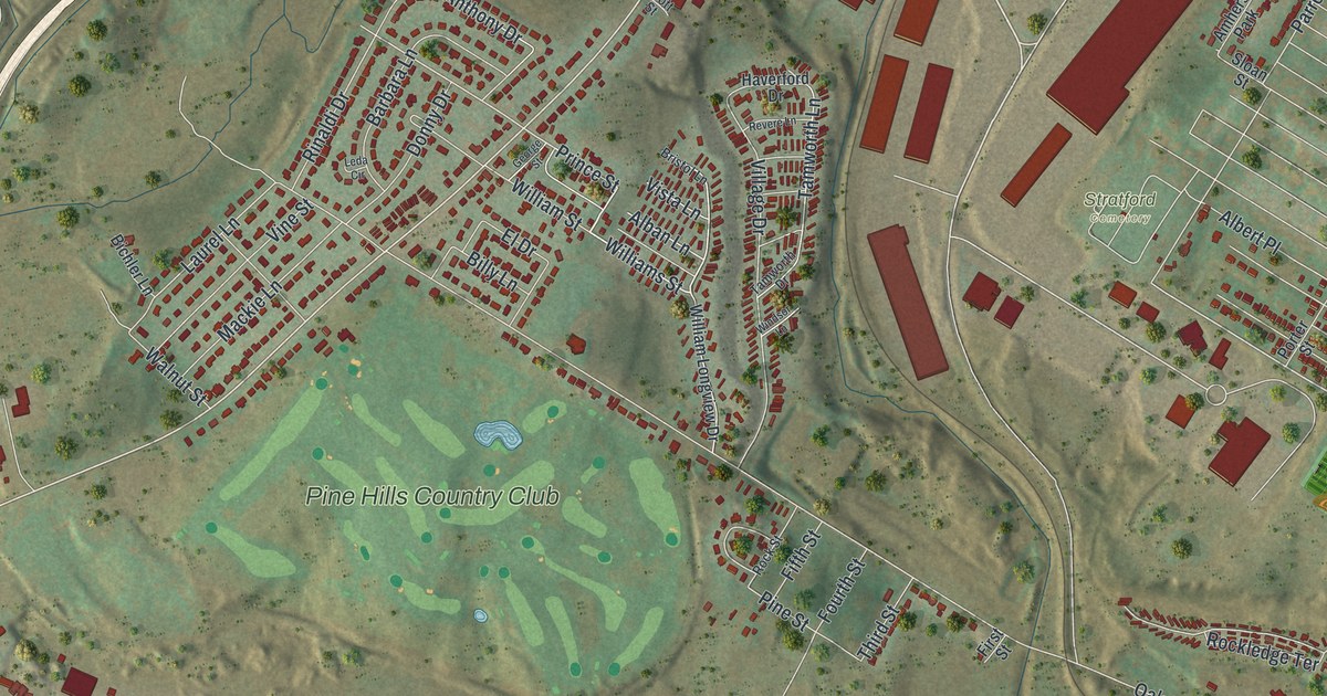
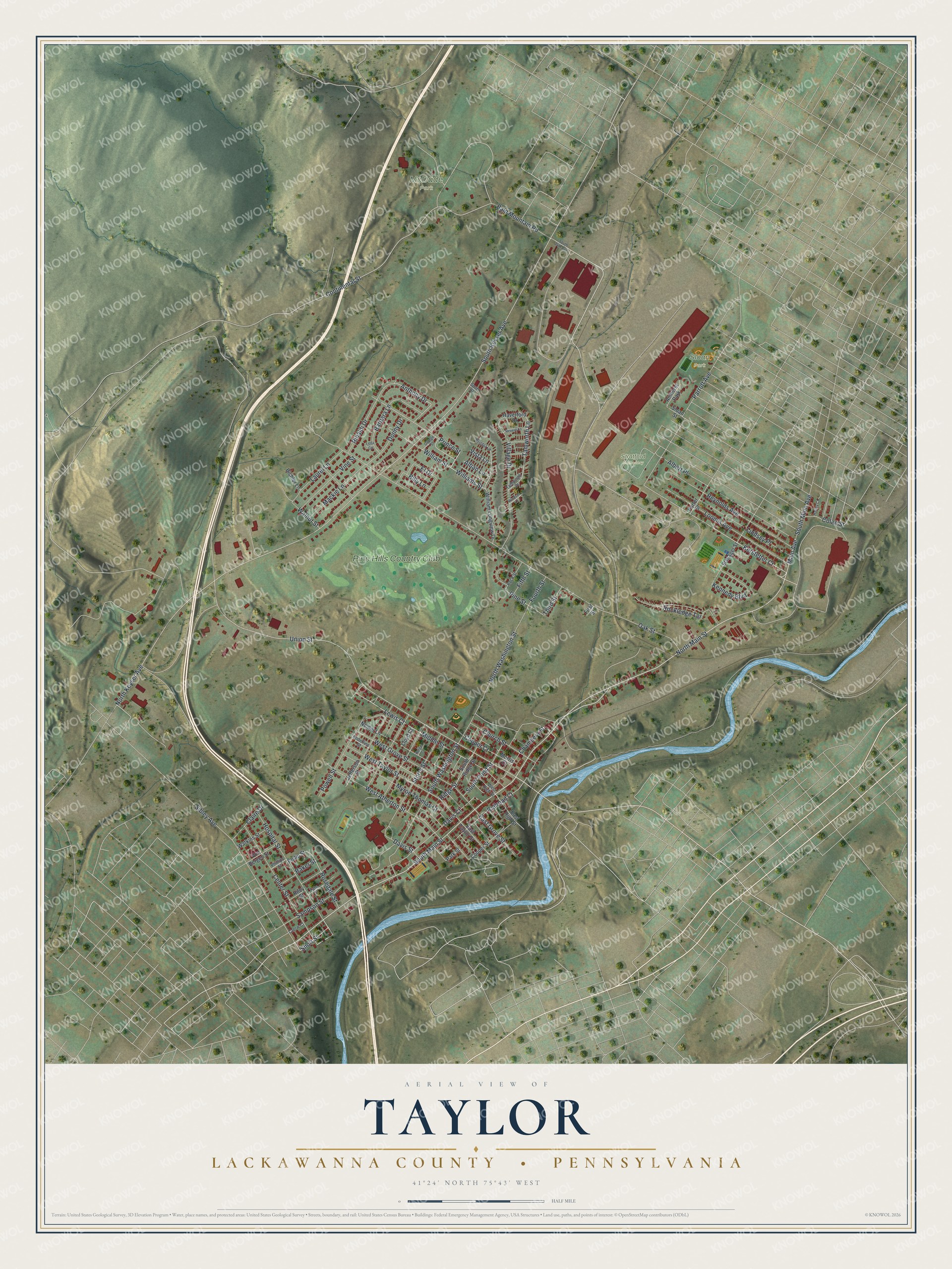
This beautifully detailed map of Taylor, Lackawanna County, Pennsylvania was created in 2026 using aerial imagery combined with modern topographical, census, street and landmark data. It's a modern aerial view of Taylor, Lackawanna County in Lackawanna County, Pennsylvania, that combines modern data with a vintage aesthetic. The roads feature printed names, and if you look closely you can find your exact house accurately shown in its correct location.
Explore an aerial view of Taylor, Lackawanna County, Pennsylvania
On this map you'll find McDade Park, Sloan Park, Stratford Cemetery, Pine Hills Country Club, North Main Street, South Main Street, Main Avenue, Short Street, North Keyser Avenue, South Keyser Avenue, Kerstetter Court, Union Street, and more. Each red shape is a building, so zoom in on the preview and look for yours.
Here is a piece of Taylor, Lackawanna County history, in the words of the record. The record at data.pa.gov puts it this way: "Seventy-two miners died by suffocation, and a government rescue worker also was killed."
Taylor, Lackawanna County is a borough in Lackawanna County. The Census Bureau counted 6,294 people here in 2020.
Take a closer look at the Taylor, Lackawanna County map
Names on this map
These names are printed on this map.
Places: McDade Park, Sloan Park, Stratford Cemetery, Pine Hills Country Club and Amherst Park.
Streets and roads: North Main Street, South Main Street, Main Avenue, Short Street, North Keyser Avenue, South Keyser Avenue, Kerstetter Court, Union Street, Tamworth Lane, Continental Street, Colan Street, Prince Street.
More street names, A to Z
Alban Lane, Albert Place, Anthony Drive, Baker Street, Bald Mountain Road, Barbara Lane, Bichler Lane, Billy Lane, Bristol Lane, Center Street, Chambers Street, Church Street, Claire Drive, Cooper Court, Cooper Street, Czerw Court, Davis Court, Davis Street, Donny Drive, East Grove Street, East High Street, East Taylor Street, El Drive, Enderline Street, Fifth Street, First Street, Fourth Street, George Street, Halsey Court, Haverford Drive, Horger Court, Hospital Street, Jefferson Street, Kennedy Boulevard, Laurel Lane, Leda Circle, Lewis Court, Lindsey Place, Lloyd Court, Loomis Avenue, Mackie Lane, Middle Street, Morris Court, Myron Thomas Court, Neider Lane, North Washington Street, Oak Street, Park Street, Parrott Avenue, Philip Street, Phillips Street, Pine Street, Porter Street, Powell Street, Railroad Court, Revere Lane, Reynolds Avenue, Ridge Street, Riley Street, Rinaldi Drive, Rockledge Terrace, Rock Street, Rosedale Street, Sampson Street, Schlager Street, Sibley Avenue, Sloan Street, South 24th Avenue, South Main Avenue, South Pond Street, South Ridge Street, South Washington Street, Spott Street, Storrs Street, Tamworth Drive, Tate Street, Third Street, Village Drive, Vine Street, Vista Lane, Von Bergen Street, Walnut Street, Watkins Street, West Atherton Street, West Grove Street, West High Street, West Taylor Street, William Longview Drive, Williams Street, William Street, Windsor Lane.
Created by KNOWOL in 2026. The buildings are small red shapes, the roads carry their printed names, and shaded relief shows the shape of the land. The title panel reads "AERIAL VIEW OF TAYLOR LACKAWANNA COUNTY • PENNSYLVANIA" with 4, 1, °, 2, 4, ', , N, O, R, T, H, , 7, 5, °, 4, 3, ', , W, E, S, T.
It suits a den, a classroom or a front hall, and it makes a gift for anyone with Taylor, Lackawanna County roots. Open the preview and find the block you know. See sizes and frames for the Taylor, Lackawanna County map.