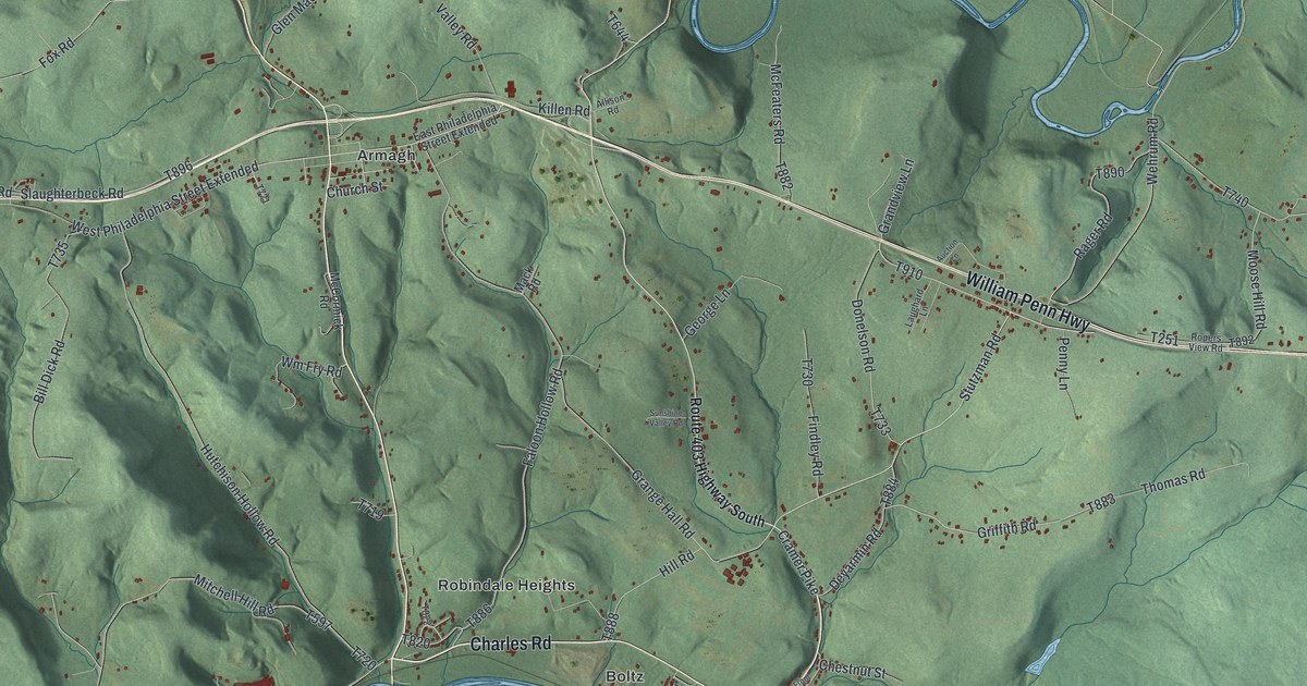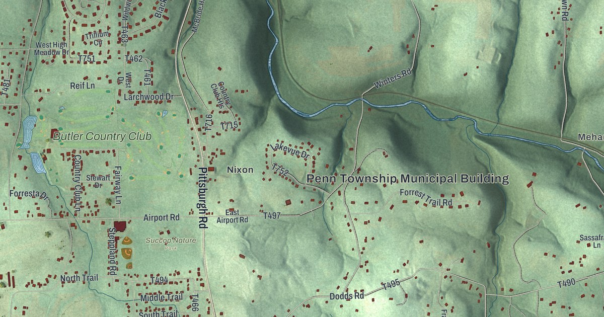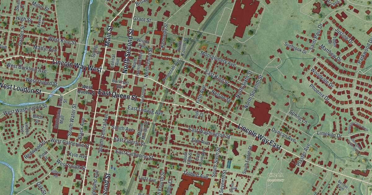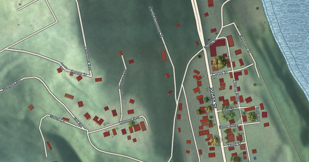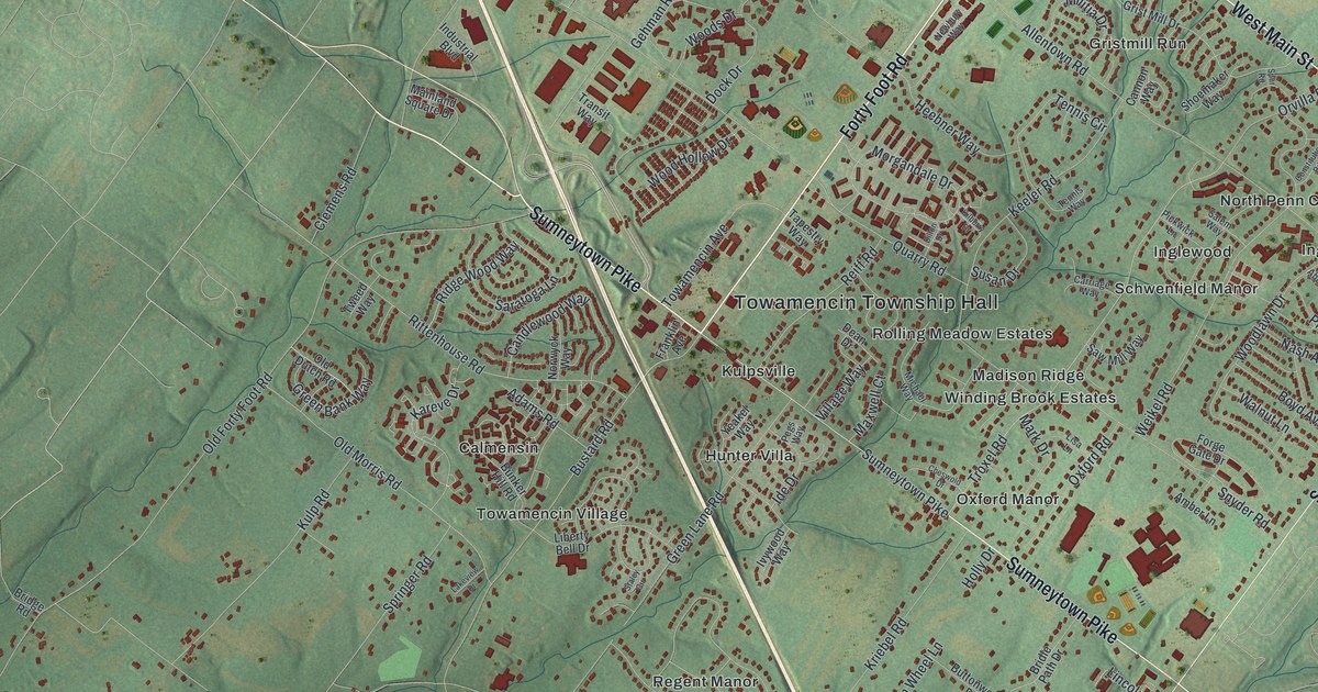
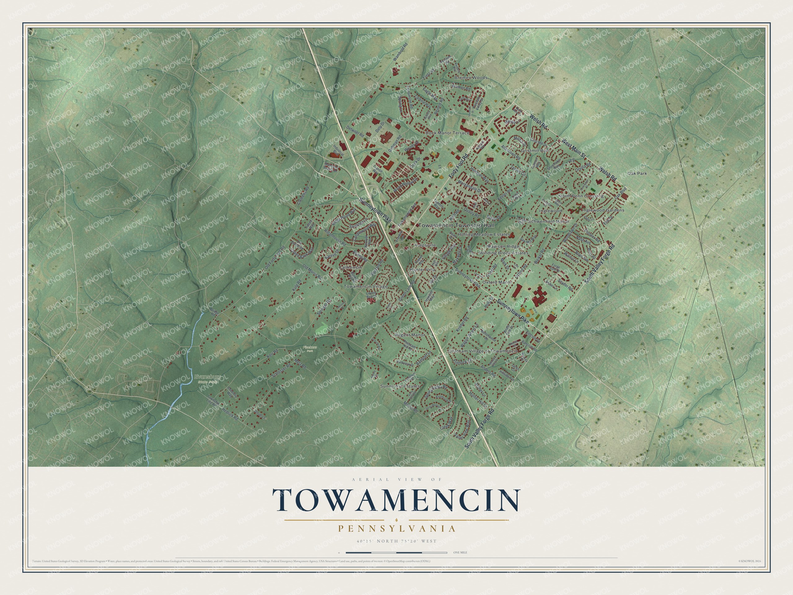
This beautifully detailed map of Towamencin, Pennsylvania was created in 2026 using aerial imagery combined with modern topographical, census, street and landmark data. It's a modern aerial view of Towamencin in Montgomery County, Pennsylvania, that combines modern data with a vintage aesthetic. The roads feature printed names, and if you look closely you can find your exact house accurately shown in its correct location.
Explore an aerial view of Towamencin, Pennsylvania
On this map you'll find Towamencin Township Hall, Evansburg State Park, Fischers Park, Bremen Woods, Calmensin, Chatham Village of Towamencin, Dock Manor Terrace, Gristmill Run, Hunter Villa, Inglewood, Inglewood Gardens, Kulpsville, and more. Each red shape is a building, so zoom in on the preview and look for yours.
Towamencin is a place in Montgomery County. The Census Bureau counted 18,009 people here in 2020. The map prints the town name in its title panel, with the coordinates below it.
Take a closer look at the Towamencin map
Names on this map
These names are printed on this map.
Places: Towamencin Township Hall, Evansburg State Park, Fischers Park, Bremen Woods, Calmensin, Chatham Village of Towamencin, Dock Manor Terrace, Gristmill Run, Hunter Villa, Inglewood, Inglewood Gardens, Kulpsville, Madison Ridge, North Penn Crossing, Oak Park, Oxford Manor, Regent Manor, Rolling Meadow Estates, Schwenfield Manor, Sunny Ayr Estates, Towamencin Village and Winding Brook Estates.
Streets and roads: Sumneytown Pike, Welsh Road, West Main Street, Forty Foot Road, South Valley Forge Road, Troxel Road, Fretz Road, Middle Lane, Kriebel Road, Allentown Road, Old Forty Foot Road, Wambold Road.
More street names, A to Z
Abbey Lane, Adams Road, Amber Lane, Anders Road, Archer Lane, Bainbridge Lane, Bancroft Road, Berwick Road, Boyd Avenue, Bremen Road, Bridge Road, Bridle Path Drive, Bunker Hill Road, Bustard Road, Buttonwood Drive, Candlewood Way, Cannon Way, Cardinal Way, Carriage Way, Cheswold Drive, Clemens Road, Constitution Road, Coventry Way, Creek Way, Dean Drive, Delp Drive, Derstine Road, Detwiler Road, Dillon Drive, Dock Drive, Eagle Way, Erie Drive, Flintlock Circle, Forge Gate Drive, Franklin Avenue, Gehman Road, Green Bank Way, Green Lane Road, Grist Mill Drive, Hedrick Road, Heebner Way, Henning Way, Hickory Way, Hillside Avenue, Holly Drive, Hunter Hill Drive, Ide Drive, Industrial Boulevard, Ivywood Way, Jacks Circle, Kareve Drive, Keeler Road, Kerr Road, Kilberry Drive, Kimberly Way, Knollbrook Drive, Kulp Road, Lakeview Drive, Liberty Bell Drive, Lincoln Drive, Lisa Lane, Mainland Square Drive, Mark Drive, Maxwell Court, Meadow Glen Drive, Metz Road, Michael Way, Militia Drive, Morgandale Drive, Morris Road, Nash Avenue, Newbury Way, North Bend Court, Norwyck Way, Oak Boulevard, Oberlin Terrace, Old Dutch Road, Old Forde Way, Old Morris Road, Orvilla Road, Oxford Road, Parkview Drive, Pegs Way, Pheasant Hill Road, Pickwick Lane, Pioneer Road, Pleasant Valley Drive, Pross Road, Quarry Road, Rampart Lane, Reiff Road, Reinert Road, Ridge Wood Way, Rittenhouse Road, Salem Way, Saratoga Lane, Saw Mill Way, Schlosser Road, Shoemaker Way, Snyder Road, Springer Road, Spring Lane, Spring Meadow Lane, Spring Valley Road, Spur Road, Staley Circle, Sunny Ayre Way, Susan Drive, Tapestry Way, Tennis Circle, Tennis Way, Thorndale Drive, Tomlinson Road, Towamencin Avenue, Township Line Road, Transit Way, Trumbauer Road, Tweed Way, Unruh Lane, Valley View Way, Village Way, Wagon Wheel Lane, Walnut Lane, Weikel Road, Wood Hollow Drive, Woodlawn Drive, Woods Drive, Yeakel Way.
Created by KNOWOL in 2026. The buildings are small red shapes, the roads carry their printed names, and shaded relief shows the shape of the land. The title panel reads "AERIAL VIEW OF TOWAMENCIN PENNSYLVANIA" with 4, 0, °, 1, 5, ', , N, O, R, T, H, , 7, 5, °, 2, 0, ', , W, E, S, T.
It looks right in a kitchen, an office or a den, and it's a gift for anyone who grew up in Towamencin or moved away. Open the preview and find your street. See sizes and frames for the Towamencin map.