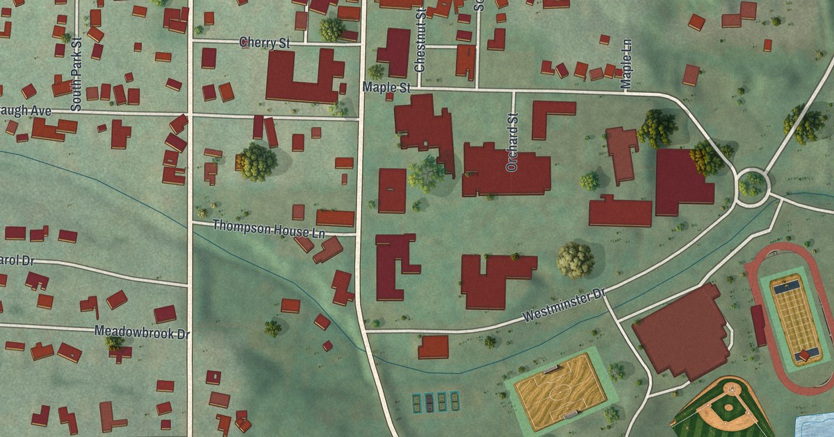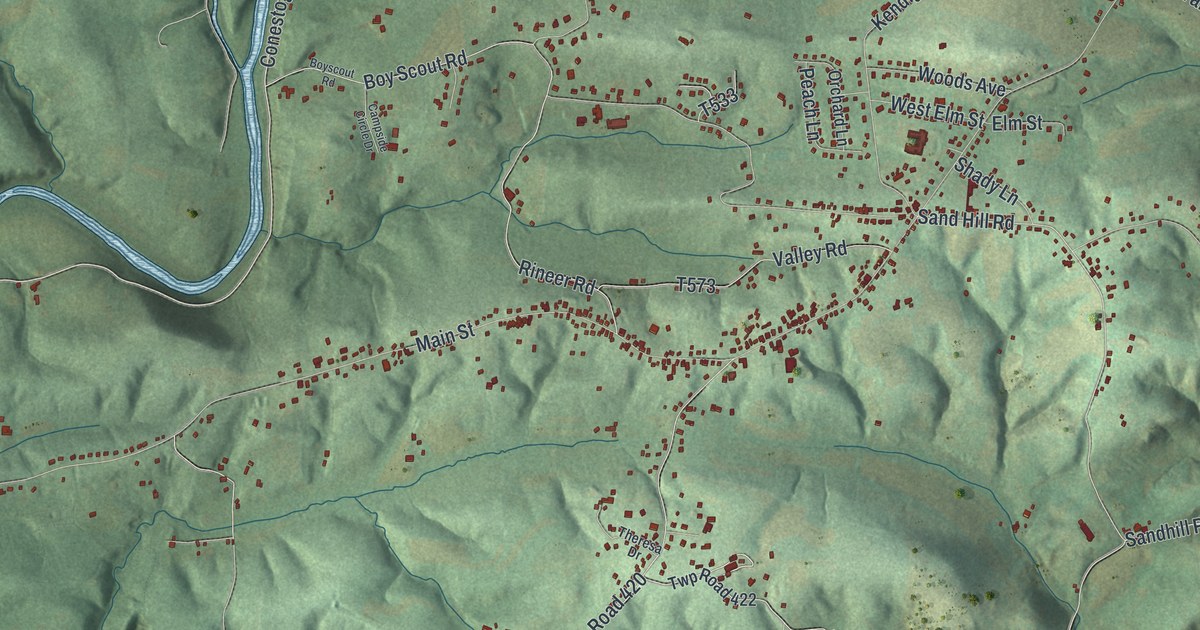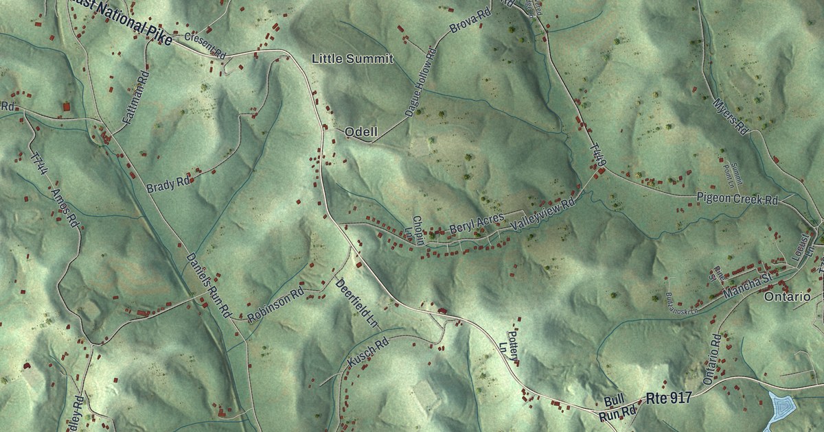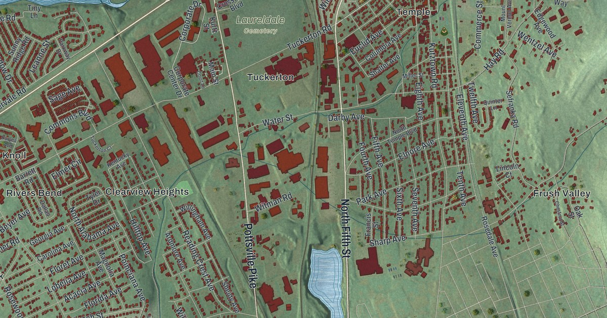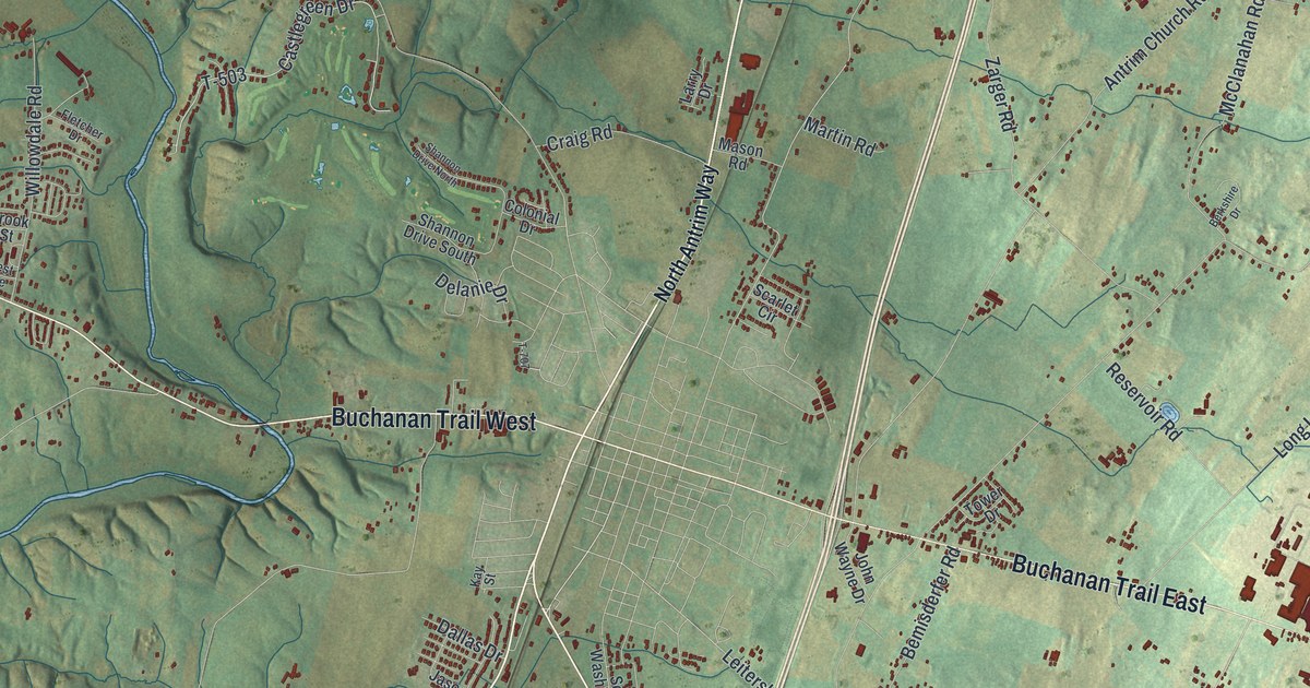
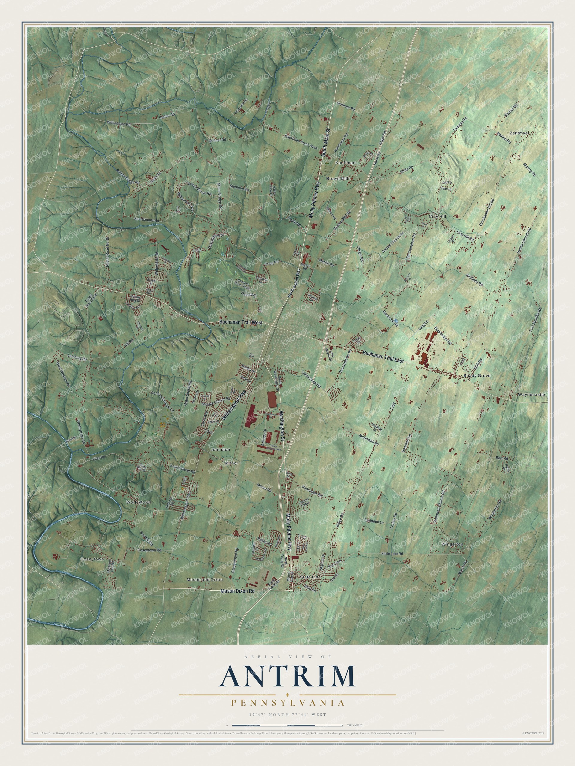
This beautifully detailed map of Antrim, Pennsylvania was created in 2026 using aerial imagery combined with modern topographical, census, street and landmark data. It's a modern aerial view of Antrim in Franklin County, Pennsylvania, that combines modern data with a vintage aesthetic. The roads feature printed names, and if you look closely you can find your exact house accurately shown in its correct location.
Explore an aerial view of Antrim, Pennsylvania
On this map you'll find Coseytown, Mason and Dixon, Brown Mills, Clay Hill, Johnston, Kauffman, Milnor, Shady Grove, State Line, Waynecastle, Wingerton, Worleytown, and more. Each red shape is a building, so zoom in on the preview and look for yours.
Here is a piece of Antrim history, in the words of the record. The Pennsylvania Historical and Museum Commission puts it this way: "Here on June 22, 1863, the First N.Y. Cavalry attacked the Southern advance force of cavalry under Gen. A.G. Jenkins. Here died the first Union soldier killed in action in Pennsylvania. Corporal William H. Rihl of Philadelphia, serving in a Pennsylvania unit assigned to the New York regiment."
Antrim is a place in Franklin County. The Census Bureau counted 15,778 people here in 2020.
Take a closer look at the Antrim map
Names on this map
These names are printed on this map.
Places: Coseytown, Mason and Dixon, Brown Mills, Clay Hill, Johnston, Kauffman, Milnor, Shady Grove, State Line, Waynecastle, Wingerton, Worleytown and Zentmyer.
Streets and roads: Molly Pitcher Highway, South Main Street, Mason Dixon Road, Williamsport Pike, Buchanan Trail West, Buchanan Trail East, Washington Street, Browns Mill Road, State Line Road, East Avenue, Leitersburg Road, T-503.
More street names, A to Z
Angle Road, Anna Mae Drive, Antrim Church Road, Antrim Commons Way, Antrim Lane, Armada Drive, Barr Road, Bemisderfer Road, Berkshire Drive, Bino Road, Brook Street, Burkholder Road, Camden Drive, Carey Drive, Carol Avenue, Castlegreen Drive, Choxes Chase, Clay Hill Road, Coldsmith Road, Colonial Drive, Commerce Avenue, Conococheaque Lane, Coseytown Road, Craig Road, Dallas Drive, Delanie Drive, East Weaver Road, Enoch Brown Road, Eryldeen Lane, Farmall Drive, Farm Lane, Filer Road, Fletcher Drive, Fort Stouffer Road, Frank Road, Gearhart Road, Grant Shook Road, Greenmount Road, Grindstone Hill Road, Grosh Drive, Guitner Road, Hades Church Road, Harshman Road, Hayfield Court, Helens Drive, Hill Road, Hoffman Road, Hollowell Church Road, Horst Road, Hykes Road, Hykes Road East, Jason Drive, Joann Drive, John Wayne Drive, Kauffman Road West, Kay Street, Kuhn Road, Larry Drive, Lehman Road, Letzburg Road, Lindale Avenue, Long Lane, Lorford Drive, Marion Road, Marsh Road, Martin Road, Maryland Line Road, Mason Road, McClanahan Road, McDowell Road, Meyers Road, Milnor Road, Mount View Drive, Murray Road, Nancy Avenue, North Antrim Way, North Young Road, Oak Road, Orenda Drive, Pa Harry Drive, Patton Bridge Road, Pensinger Road, Phillippy Road, Pine Drive, Rabbit Road North, Rabbit Road South, Reid Road, Reservoir Road, Ridge Road, Rolling Hills Drive, Ruritan Drive, Scarhill Road, Scarlet Circle, Shanks Church Road, Shannon Drive North, Shannon Drive South, Sheller Road, Sherwood Drive, Shinham Road, Skyline Drive, Slothour Road, South Washington Street, South Young Road, Sportsmans Road, Statler Road, Stone Bridge Road, Strite Road, Stull Road, T-317, T-505, T-507, T-512, T-707, T-717, Talhelm Road, Tower Drive, Tranquil Way, Trolley Road, Twin Drive, Valley View Lane, Wedgewood Drive, West Avenue, West Weaver Road, Williamson Avenue, Williamson Road, Willowdale Road, Wingerton Road, Worleytown Road, Zarger Road.
Created by KNOWOL in 2026. The buildings are small red shapes, the roads carry their printed names, and shaded relief shows the shape of the land. The title panel reads "AERIAL VIEW OF ANTRIM PENNSYLVANIA" with 3, 9, °, 4, 7, ', , N, O, R, T, H, , 7, 7, °, 4, 1, ', , W, E, S, T.
It suits a den, a classroom or a front hall, and it makes a gift for anyone with Antrim roots. Open the preview and find the block you know. See sizes and frames for the Antrim map.