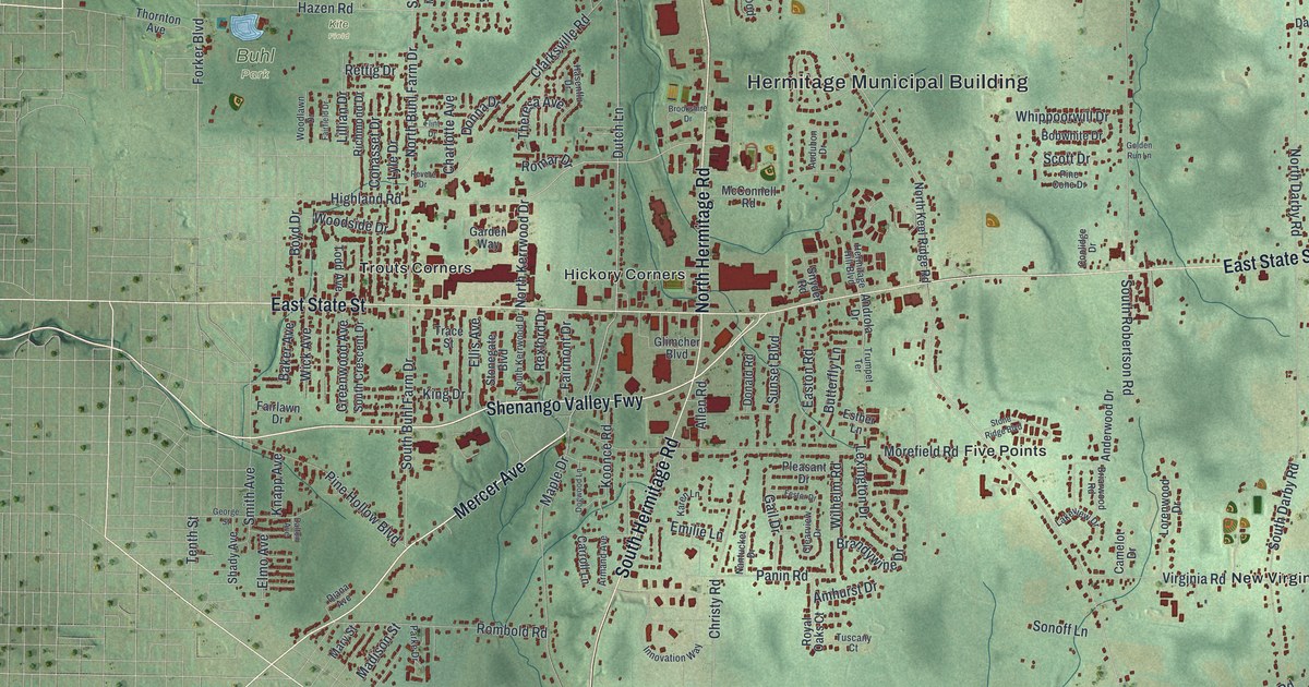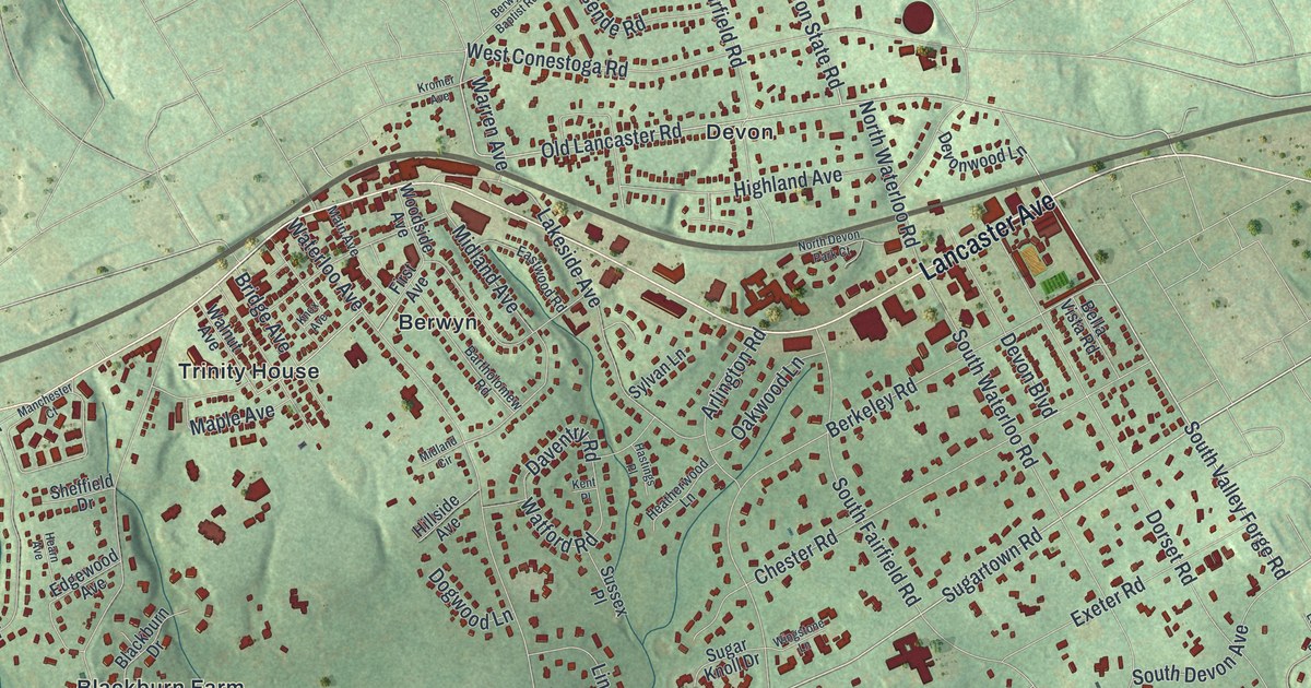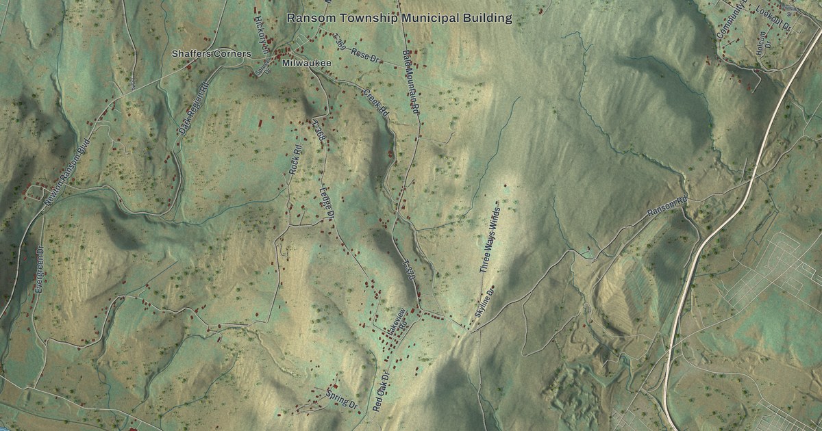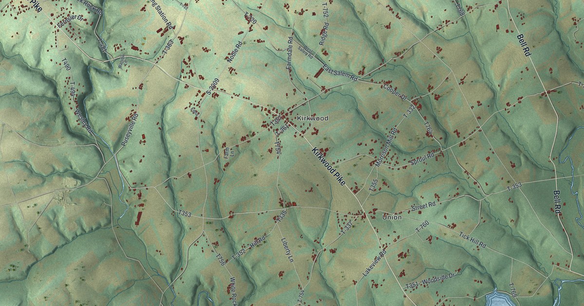
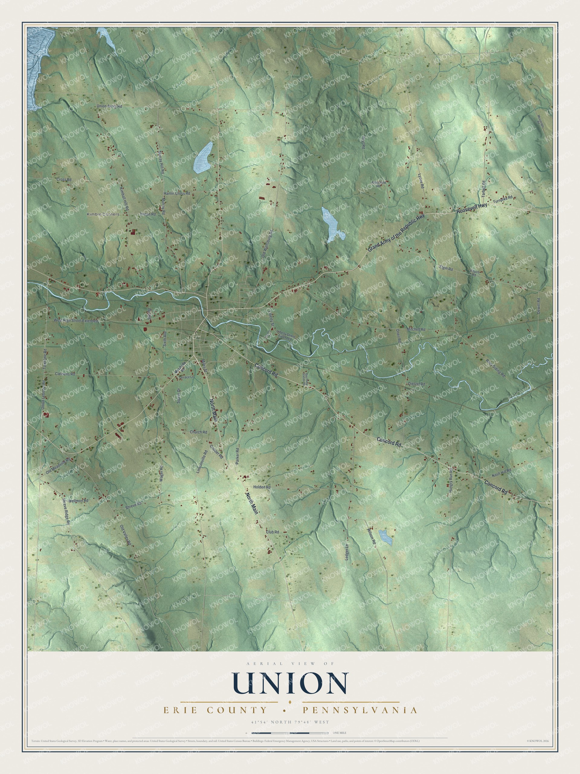
This beautifully detailed map of Union, Erie County, Pennsylvania was created in 2026 using aerial imagery combined with modern topographical, census, street and landmark data. It's a modern aerial view of Union, Erie County in Erie County, Pennsylvania, that combines modern data with a vintage aesthetic. The roads feature printed names, and if you look closely you can find your exact house accurately shown in its correct location.
Explore an aerial view of Union, Erie County, Pennsylvania
On this map you'll find Kimble Corners, North Main, Grand Army of the Republic Highway, Roosevelt Highway, Concord Road, Townline Road, Union Leboeuf Road, Shreve Ridge Road, Elgin Road, Kimball Hill Road, Union Amity Road, Old Wattsburg Road, and more. Each red shape is a building, so zoom in on the preview and look for yours.
Here is a piece of Union, Erie County history, in the words of the record. The Pennsylvania Historical and Museum Commission puts it this way: "Near Titusville. The Park and Museum are owned by the State. On the site Col. Edwin Drake struck oil Aug. 27, 1859, marking the birth of the petroleum industry. Historical and museum material center."
Union, Erie County is a place in Erie County. The Census Bureau counted 1,541 people here in 2020.
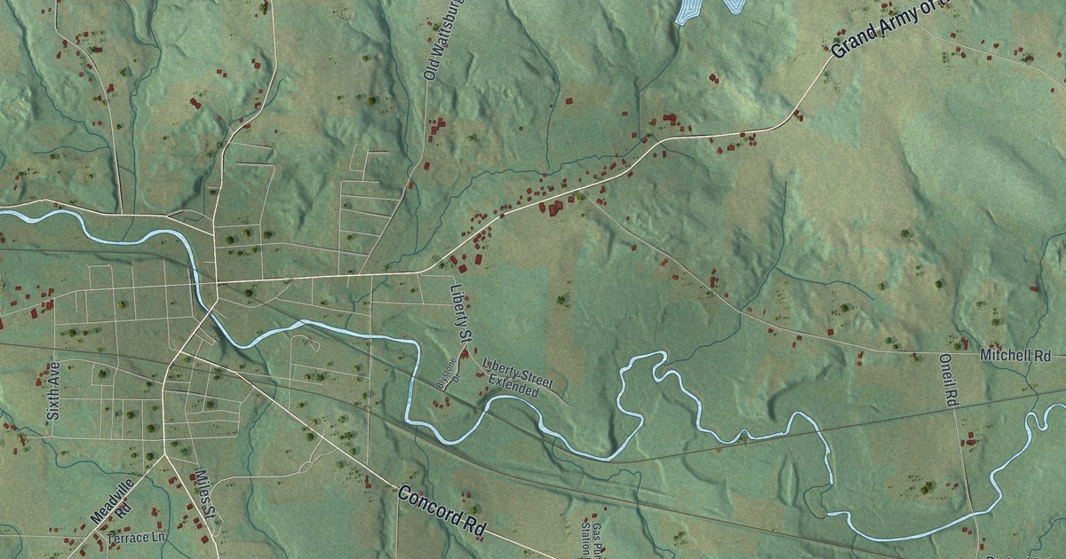
Take a closer look at the Union, Erie County map
Names on this map
These names are printed on this map.
Places: Kimble Corners.
Streets and roads: North Main, Grand Army of the Republic Highway, Roosevelt Highway, Concord Road, Townline Road, Union Leboeuf Road, Shreve Ridge Road, Elgin Road, Kimball Hill Road, Union Amity Road, Old Wattsburg Road, Murray Hill Road.
More street names, A to Z
Arborfield Road, Blystone Drive, Church Road, Clemens Road, Club Road, Cooper Road, Cross Road, Dewitt Road, Dietzel Road, Gas Pump Station Road, Hanlin Cross Road, Holden Road, Hoyt Road, Hungry Run Road, Inman Road, Ledger Lane, Liberty Street, Liberty Street Extended, Lincolnville Road, Lyons Road, Meadville Road, Messenger Road, Miles Street, Mitchell Road, Murray Road, Nash Hill Road, Old Meadville Road, Old Valley Road, Oneil Road, Parker Road, Pituch Road, Riley Siding Road, Shreve Road, Sixth Avenue, Squire Drive, Still Road, Tarbell Road, Terrace Lane, Turnpike Road, Wager Road, Wellmon Road, West High Street Extended, Wilson Road.
Created by KNOWOL in 2026. The buildings are small red shapes, the roads carry their printed names, and shaded relief shows the shape of the land. The title panel reads "AERIAL VIEW OF UNION ERIE COUNTY • PENNSYLVANIA" with 4, 1, °, 5, 4, ', , N, O, R, T, H, , 7, 9, °, 4, 8, ', , W, E, S, T.
It suits a den, a classroom or a front hall, and it makes a gift for anyone with Union, Erie County roots. Open the preview and find the block you know. See sizes and frames for the Union, Erie County map.