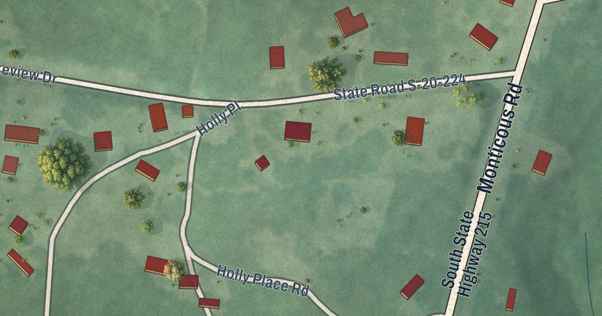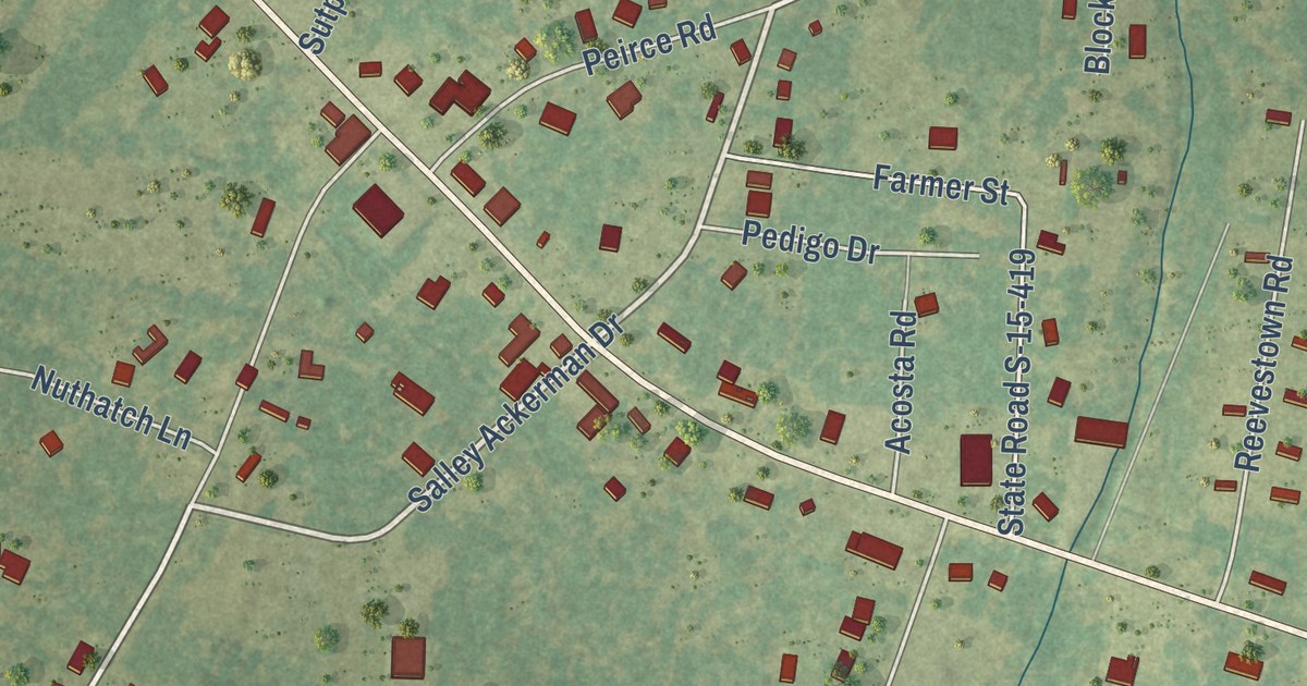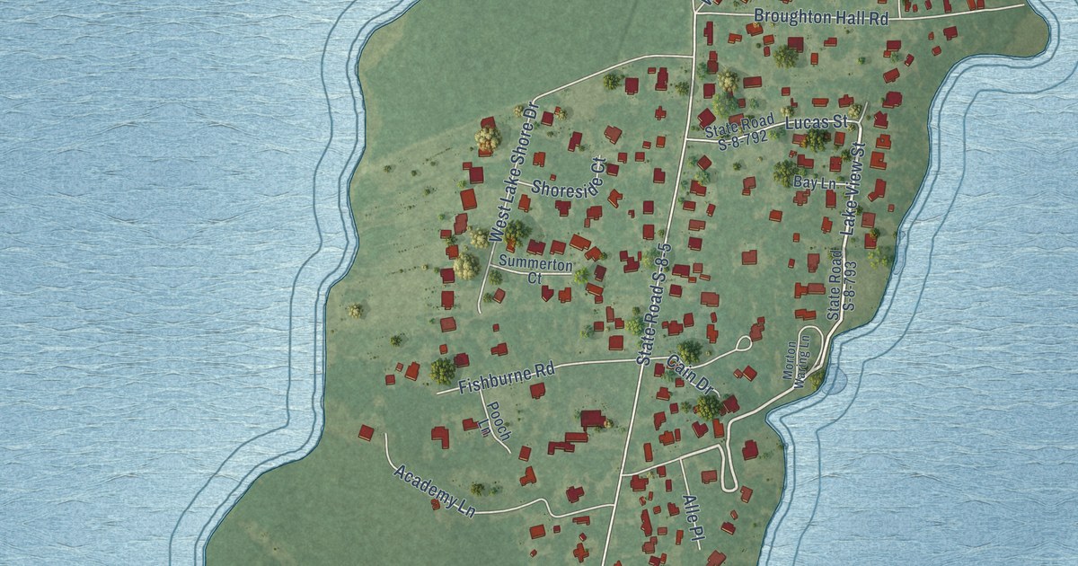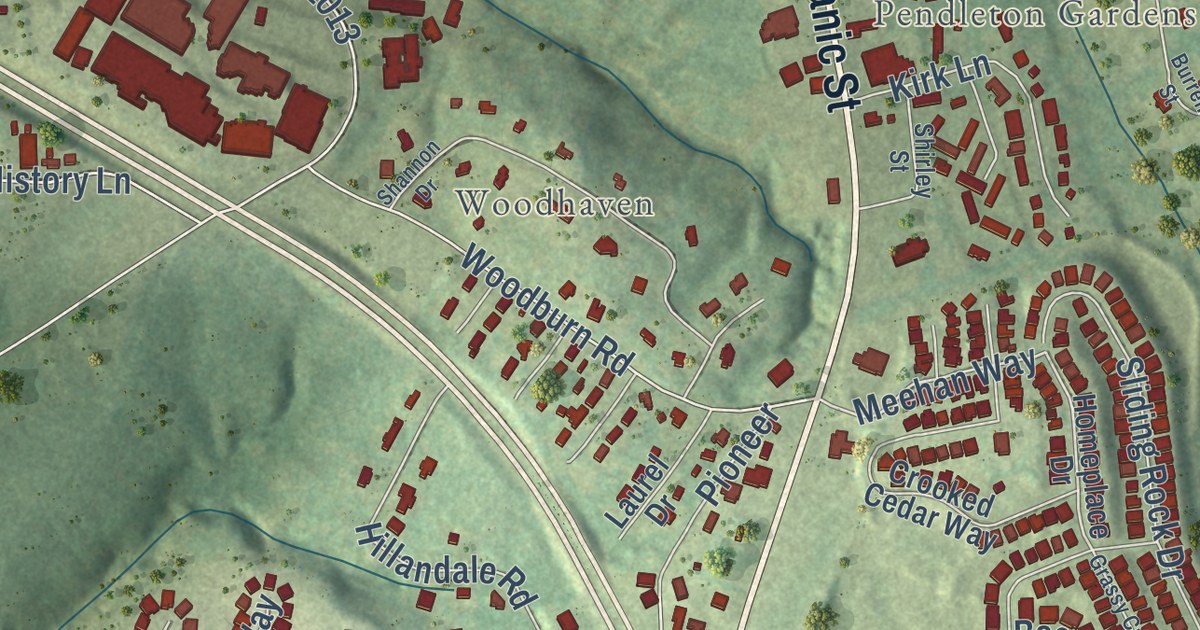
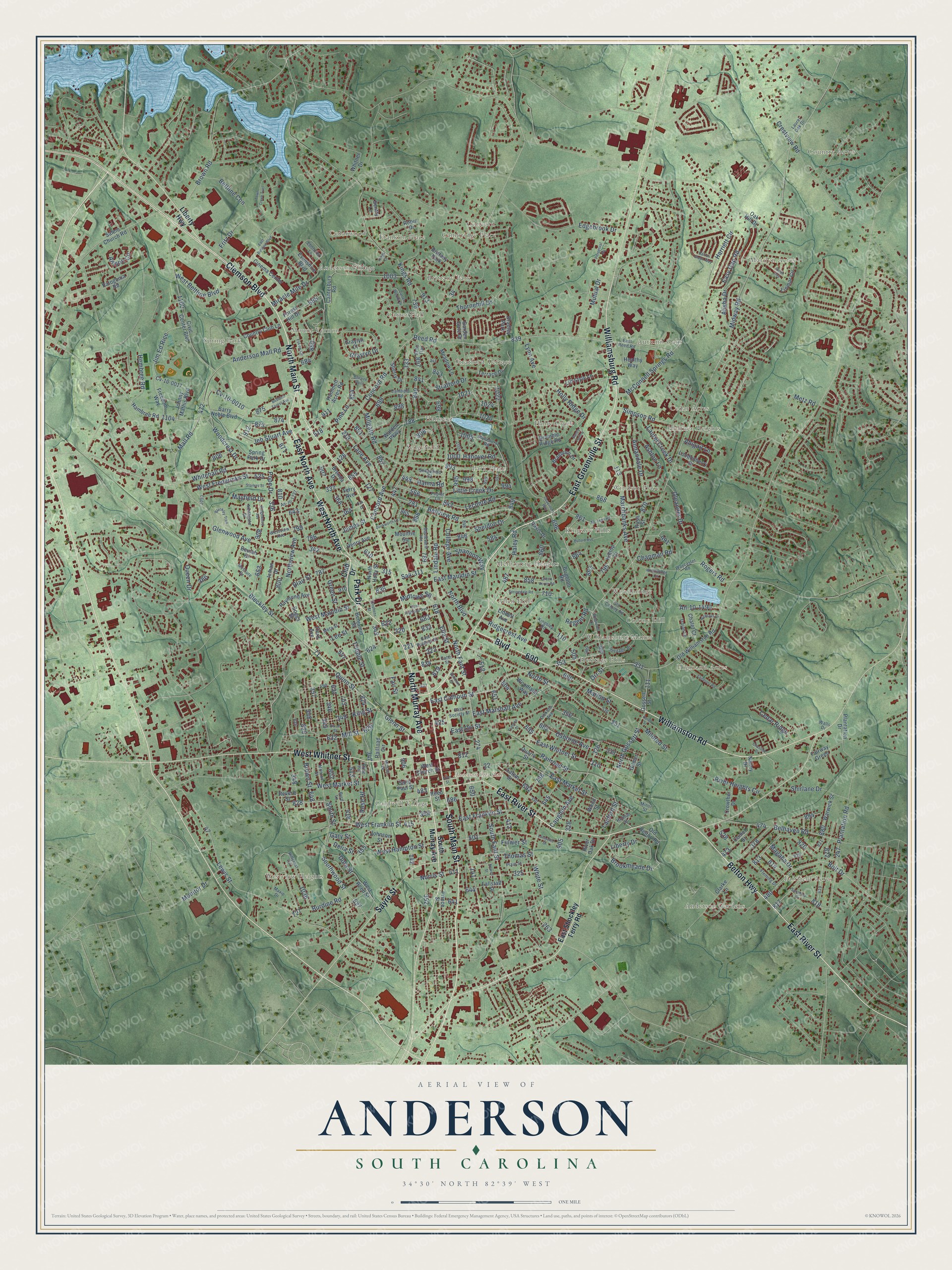
This beautifully detailed map of Anderson, South Carolina was created in 2026 using aerial imagery combined with modern topographical, census, street and landmark data. It’s a one-of-a-kind view of Anderson that combines accurate data with a vintage aesthetic. The map shows every building in its true location, many of the roads carry their names, and the shaded topographic relief shows the shape of the land.
Explore an aerial view of Anderson, South Carolina
On the map you’ll find Allen Hills, Anderson Gardens, Anderson Village, Autumn Oaks, Brittany Park, Caldwell Village, Cambridge Place, Carter Hall, Cedar Acres, Cedarwood, Colony Hill, Concord, and more. If you look closely you can even find your house accurately drawn in its correct location. Zoom in on the preview to look for yours.
Did you know this piece of Anderson, South Carolina history?
From Scencyclopedia.org: "The first rally held by former Confederate General Wade Hampton in his campaign for governor was held in Anderson on September 2, 1876."
Take a closer look at the Anderson map
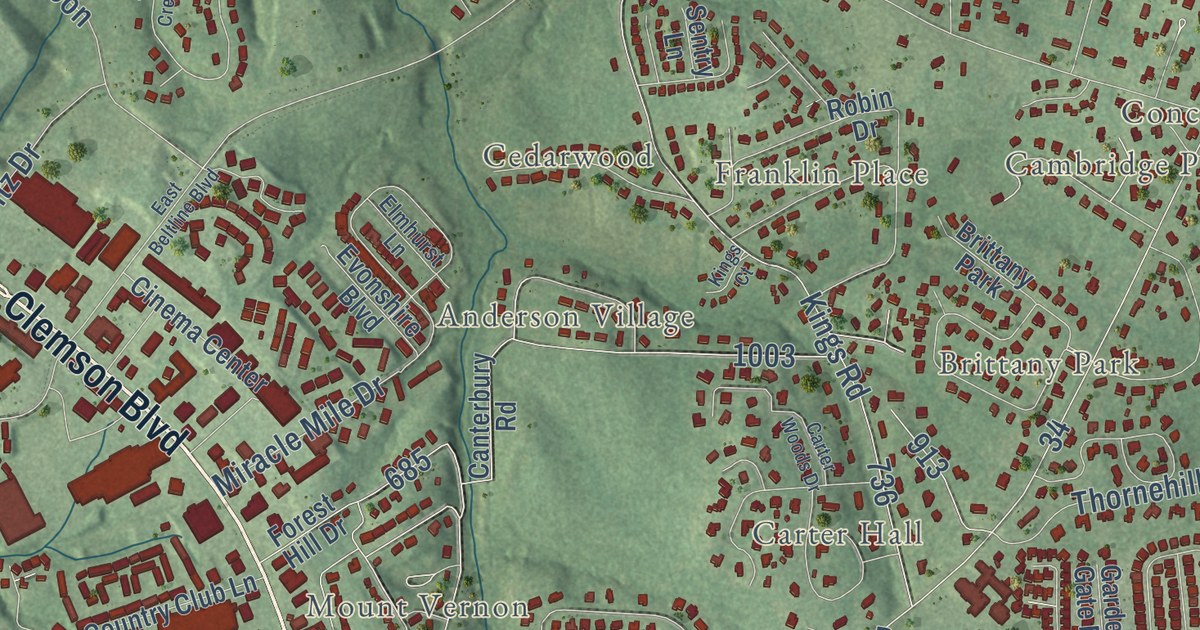
Street and place names on the Anderson, South Carolina map
These names are printed on the map of Anderson, South Carolina.
Places: Anderson City Hall, Country Acres, Anderson Village, Highland Acres, Heather Heights, Westview Heights, Fairfield Acres, Park Place, Spring Park, Marilyn Acres, Concord, Allen Hills, Windsor Place, Stratford Terrace, Autumn Oaks, Mount Vernon, Brittany Park, Anderson Gardens, Kingsley Hills, Heritage Hills, Caldwell Village, Holly Creek, Woodbridge, Melbourne Heights, Sedgefield, Carter Hall, Hanover, Cedarwood, Franklin Place, Williamsburg Manor, Colony Hill, Cedar Acres, Cambridge Place and Bradley Park.
Streets and roads: East Greenville Street, North Murray Avenue, South Main Street, Park Drive, Clemson Boulevard, Williamsburg Road, East River Street, North Main Street, Sayre Street, Boulevard, West North Avenue, Williamston Road.
More street names, A to Z
Abigail Lane, Alisha Drive, Allison Circle, An-10-1227, An-10-1490, Anderson Mall Road, Annandale Drive, Ashton Lane, Barron Glenn Way, Barry Noble Boulevard, Bedford Forest Avenue, Belhaven Road, Bellview Road, Beltline Con, Belton Highway, Benjamin Street, Beulah Drive, Blair Street, Bleckley Street, Bleckley Trail, Boggs Street, Bolt Drive, Bonaire Point, Bonham Court, Boulevard Heights, Braeburn Drive, Bramble Ridge Road, Brenda Drive, Brighton Road, Brookmeade Drive, Brown Road, Brown Street, Buford Avenue, Burdine Road, Byrd Lane, Camfield Road, Canterbury Road, Carter Woods Drive, Cater Street, Caughlin Avenue, Cedar Ridge, Chalet Court, Chapman Road, Chastine Drive, Cinema Center, Civic Center Boulevard, Clarke Lane, Club Drive, College Avenue, Comet Street, Concord Avenue, Concord Road, Country Club Lane, Crestview Road, Crowther Drive, Cv-10-0010, Cv-10-0017, Davis Drive, Delia Street, Dickens Avenue, Dixon Street, Dora Street, Duckworth Lane, East Beltline Boulevard, East Calhoun Street, East Franklin Street, East Highland Avenue, East Market Street, East Marshall Avenue, East Mauldin Street, East North Avenue, East Orr Street, East Reed Road, East Roberts Street, East Shockley Ferry Road, East Society Street, East Whitner Street, Easy Gap Road, Echo Trail, Edgebrook Drive, Ella Street, Elmhurst Lane, Eskew Circle, Evonshire Boulevard, Fairmont Road, Fair Street, Fairway Green, Fallstaff Street, Fleming Drive, Forest Hill Drive, Frances Street, Freedom Way, Fritz Drive, Fulwer Street, Garden Gate Drive, Gary Street, Gilmer Street, Glenn Street, Glenwood Avenue, Gossett Street, Governors Way, Graylyn Court, Graylyn Drive, Green Acres Road, Green Street, Haley Road, Hambree Road, Hammett Acres Road, Hanna Road, Hanover Road, Harriett Circle, Healthy Way, Hembree Road, Henry Avenue, Heritage Drive, Hillcrest Circle, Hilltop Drive, Holly Ridge Drive, Holman Street, Inman Drive, James Street, Jeb Stuart Avenue, Jim Ed Rice, Johnny Mathis Boulevard, Johnson Street, John Street, Karen Street, Kings Court, Kingsley Road, Kings Road, King Street, Lafayette Street, Lane Avenue, Lanford Street, Laurel Creek Drive, Laurel Oak Drive, Leconte Road, Lee Street, Lewis Street, Liberty Drive, Liberty Highway, Liddell Avenue, Lift Style Lane, Lindale Road, Linmar Circle, Little Creek Drive, Londonberry Drive, Lynn Avenue, Magaha Drive, Mall Road, Marchbanks Avenue, Marion Street, Maxie Drive, Mayfield Drive, McClure Drive, McConnell Springs Road, Mc Lees Road, Meadow Lane, Meta Street, Metz Road, Midtown Square, Midway Road, Mildred Street, Millgate Road, Mill Street, Mimosa Pk, Minor Street, Miracle Mile Drive, Monitor Drive, Monroe Street, Moultrie Square, Mutual Drive, Nalley Drive, Newell Street, Nicklaus Drive, Norris Street, North Boulevard, North Fant Street, Northgate Drive, North Gossett Street, North Holly Street, North Street, Northview Avenue, Oak Drive, Oak Hill Drive, Old Belton Road, Old Colony Road, Old Williamston Road, Oleander Drive, Orr Street, Osborne Avenue, Patogonia Road, Perpetual Square, Pine Lane, Plain Street, Plantation Drive, Plantation Road, Pope Drive, Poplar Lane, Prince Street, Quarry Street, Queen Drive, Quinn Street, Railroad Circle, Railroad Street, Raymond Avenue, Reed Road, Reed Street, Regent Road, Revere Street, Ridgecrest Avenue, Ridgewood Avenue, River Heights Circle, River Oak Drive, Robin Drive, Rogers Road, Rose Hill, Rose Hl, Rush Street, Sa4-311, Saint Paul Street, Salem Church Road, Salem Street, Sandy Hollow, Sansbury Drive, Sedgefield Court, Sentry Lane, Shannon Way, Sheldon Drive, Sherry Drive, Shirlane Drive, Simpson Road, Sloan Avenue, Smith Street, South Fant Street, South Murray Avenue, Southwood Street, Springdale Road, Spring Park Drive, Starkes Street, Stephens Street, Stonehurst Road, Stratford Drive, Terrace Drive, Terry Avenue, Third Avenue, Thomas Street, Thornehill Drive, Town Creek Trail, Tribble Street, Trojan Lane, Walden Parkway, Walls Drive, Warwick Street, Waycaster Road, West Beltline Boulevard, West Church Street, West Franklin Street, West Fredericks Street, West Hampton Street, West Market Street, West Mauldin Street, West Reed Street, Westview Avenue, West Whitner Street, Whitehall Road, White Street, Whitner Drive, Wildwood Drive, Woodbridge Circle, Woodcrest Drive, Woodland Way, Wood Street.
See the Anderson, South Carolina map on a wall
The Anderson map as an 18 x 24 inch print in a black frame.

This beautifully detailed map of Anderson makes an attractive addition to your office, library, or den, and it can even be used to teach children the geography and history of the area. It also makes a great gift for anyone who grew up in Anderson or moved away. When you’re done exploring, click here to get your copy of the Anderson map.