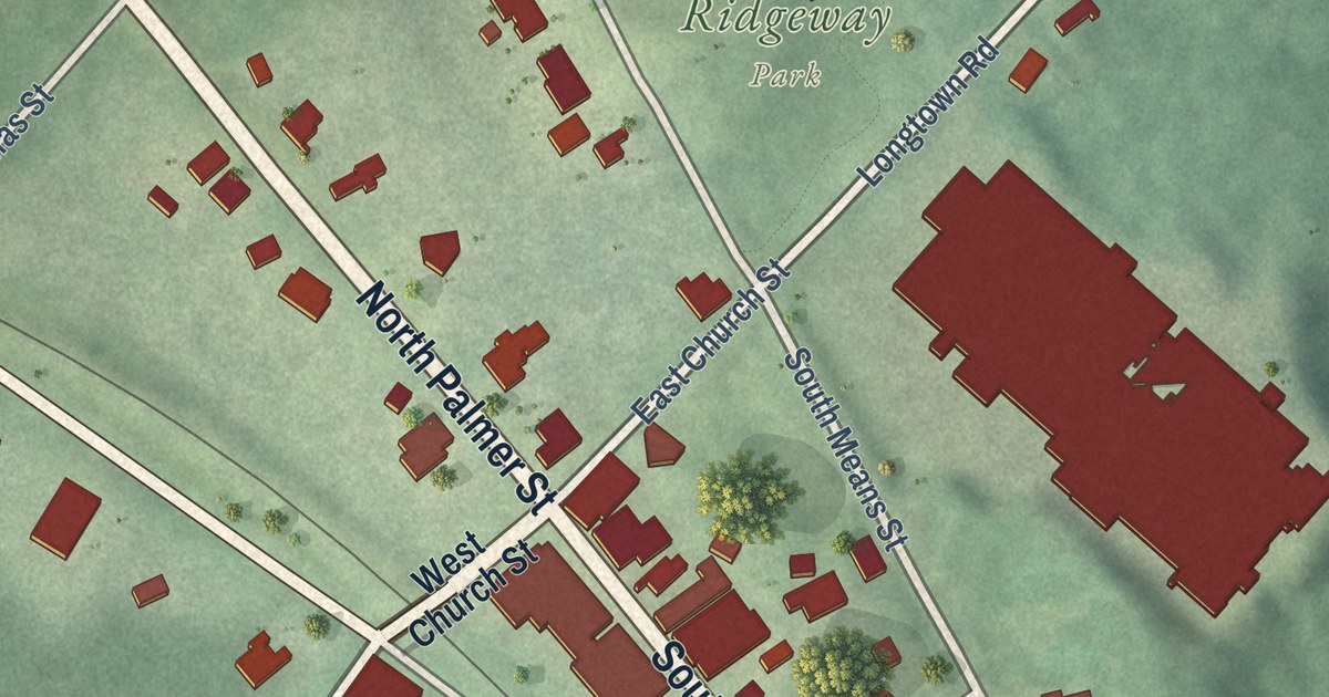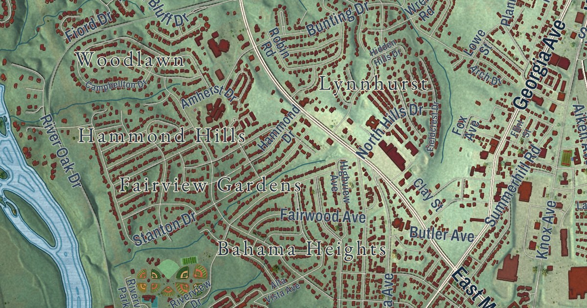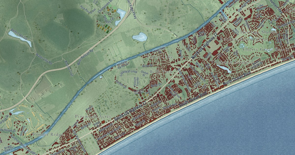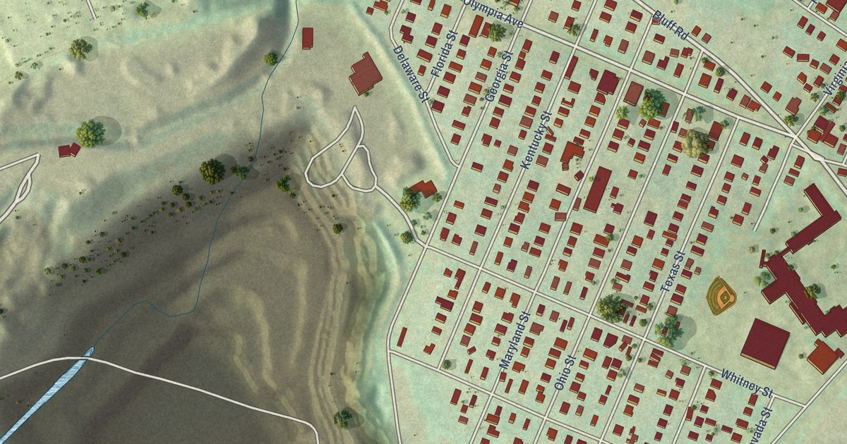
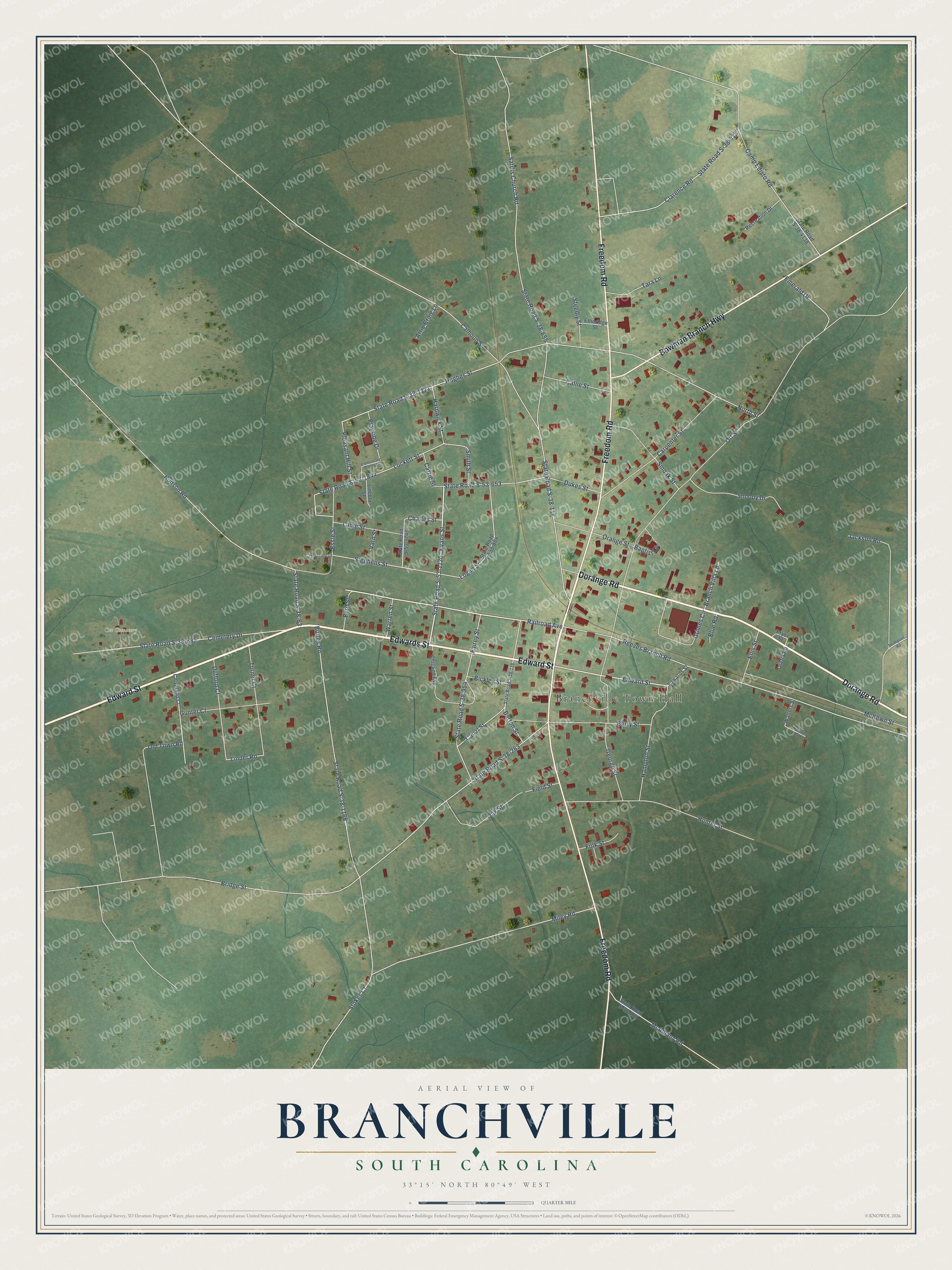
This beautifully detailed map of Branchville, South Carolina was created in 2026 using aerial imagery combined with modern topographical, census, street and landmark data. It’s a one-of-a-kind view of Branchville that combines accurate data with a vintage aesthetic. The map shows every building in its true location, many of the roads carry their names, and the shaded topographic relief shows the shape of the land.
Explore an aerial view of Branchville, South Carolina
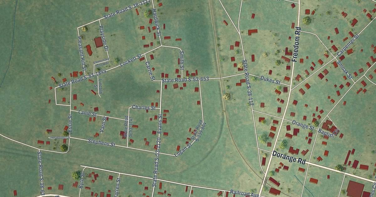
On the map you’ll find Branchville Town Hall and Ott Cemetery, along with Edward Street, Dorange Road, Edwards Street, Freedom Road, Bowman Branch Highway, Evans Street, State Road S-53-1120, Railroad Avenue, Reeves Branch Road, Stephens Street, and more. If you look closely you can even find your house accurately drawn in its correct location. Zoom in on the preview to look for yours.
Did you know this piece of Branchville, South Carolina history?
From Scencyclopedia.org: "The first European settlers, led by Andrew Frederick of Prussia, arrived shortly after 1734 at the spot where the trail split."
Take a closer look at the Branchville map
Street and place names on the Branchville, South Carolina map
These names are printed on the map of Branchville, South Carolina.
Places: Branchville Town Hall and Ott Cemetery.
Streets and roads: Edward Street, Dorange Road, Edwards Street, Freedom Road, Bowman Branch Highway, Evans Street, State Road S-53-1120, Railroad Avenue, Reeves Branch Road, Stephens Street, Linder Road, Hughes Street.
More street names, A to Z
Arrie Craig Lane, Baptist Circle, Barton Street, Berry Street, Bickley Street, Blue Road, Branch Villa Lane, Bridge Street, Buttes Road, Byrd Street, Calhoun Street, Callie Street, Camp Edisto Road, Canal Street, Carpenter Street, Carrie Street, Cemetery Drive, Charles Street, Chicago Avenue, Clarence Road, Cleveland Court, Dufford Court, Dukes Street, Elementary School Drive, Ellis Street, Emerald Drive, Essie Street, Etheridge Street, Fairey Street, Field Street, Folk Street, George Street, Grimes Circle, Gunter Court, Hampton Street, Hardwick Street, Hoover Street, Hudson Road, Hunter Street, Jackson Road, Lanie Street, Lincoln Street, Lockett Street, Logan Street, McAlhany Road, McKewn Street, Miley Road, North Street, Oak Street, Old Town Road, Orange Street, Oretta Road, Ott Street, Playside Drive, Pleasant Hill Street, Pryor Street, Recreation Drive, Sardis Church Road, Smith Street, Smoak Street, Snoopy Drive, State Road S-38-63, State Road S-38-102, State Road S-38-116, State Road S-38-117, State Road S-38-263, State Road S-38-655, State Road S-38-685, State Road S-38-954, State Road S-38-1121, State Road S-38-1168, State Road S-38-4137, State Road S-38-4138, State Road S-53-653, State Road S-53-1747, State Road S-53-1844, State Road S-339-804, Steedly Street, Stokes Court, Tara Lane, Thompson Road, Thorncrest Lane, Turner Court, Varn Street, Walters Street, Warren Street.
See the Branchville, South Carolina map on a wall
The Branchville map as an 18 x 24 inch print in a black frame.

This beautifully detailed map of Branchville makes an attractive addition to your office, library, or den, and it can even be used to teach children the geography and history of the area. It also makes a great gift for someone who left Branchville and still calls it home. When you’re done exploring, click here to get your copy of the Branchville map.