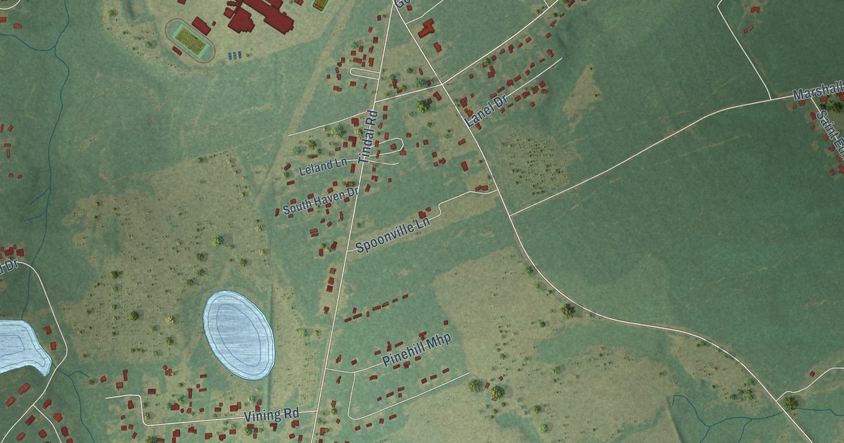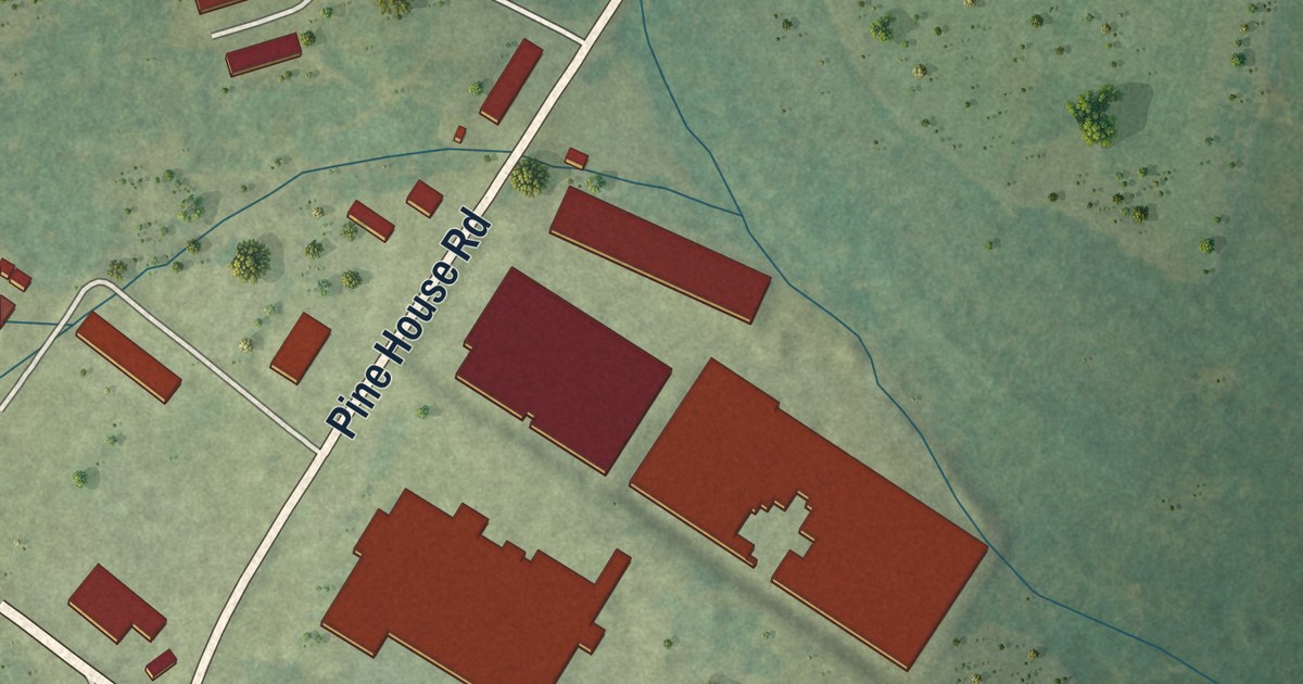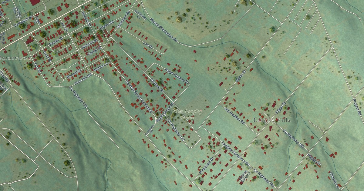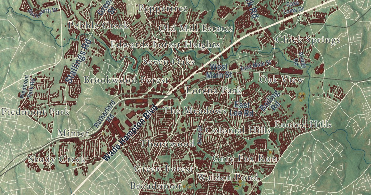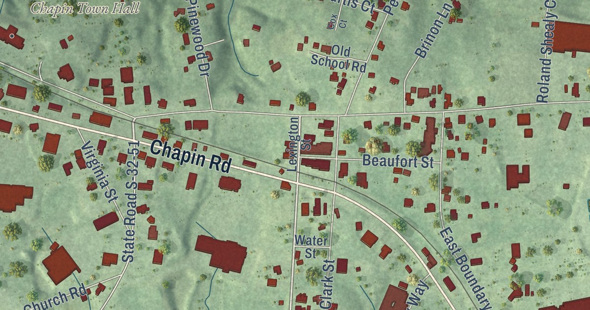
This beautifully detailed map of Chapin, South Carolina was created in 2026 using aerial imagery combined with modern topographical, census, street and landmark data. It’s a one-of-a-kind view of Chapin that combines accurate data with a vintage aesthetic. The map shows every building in its true location, many of the roads carry their names, and the shaded topographic relief shows the shape of the land.
Explore an aerial view of Chapin, South Carolina
On the map you’ll find Chapin Town Hall, along with Chapin Road, Columbia Avenue, Amicks Ferry Road, State Road S-32-51, Brighton Boulevard, Lexington Avenue, Broomstraw Road, Woodthrush Road, Firebridge Drive, East Boundary Street, Woolbright Lane, and more. If you look closely you can even find your house accurately drawn in its correct location. Zoom in on the preview to look for yours.
Did you know this about Chapin, South Carolina?
From the South Carolina Encyclopedia: "The extension of rail lines in the 1890s from Columbia north toward Newberry and south toward Orangeburg led to the incorporation of additional towns, including Irmo, Ballentine, and Chapin in the Dutch Fork region and Swansea in the southern part of the county."
Take a closer look at the Chapin map
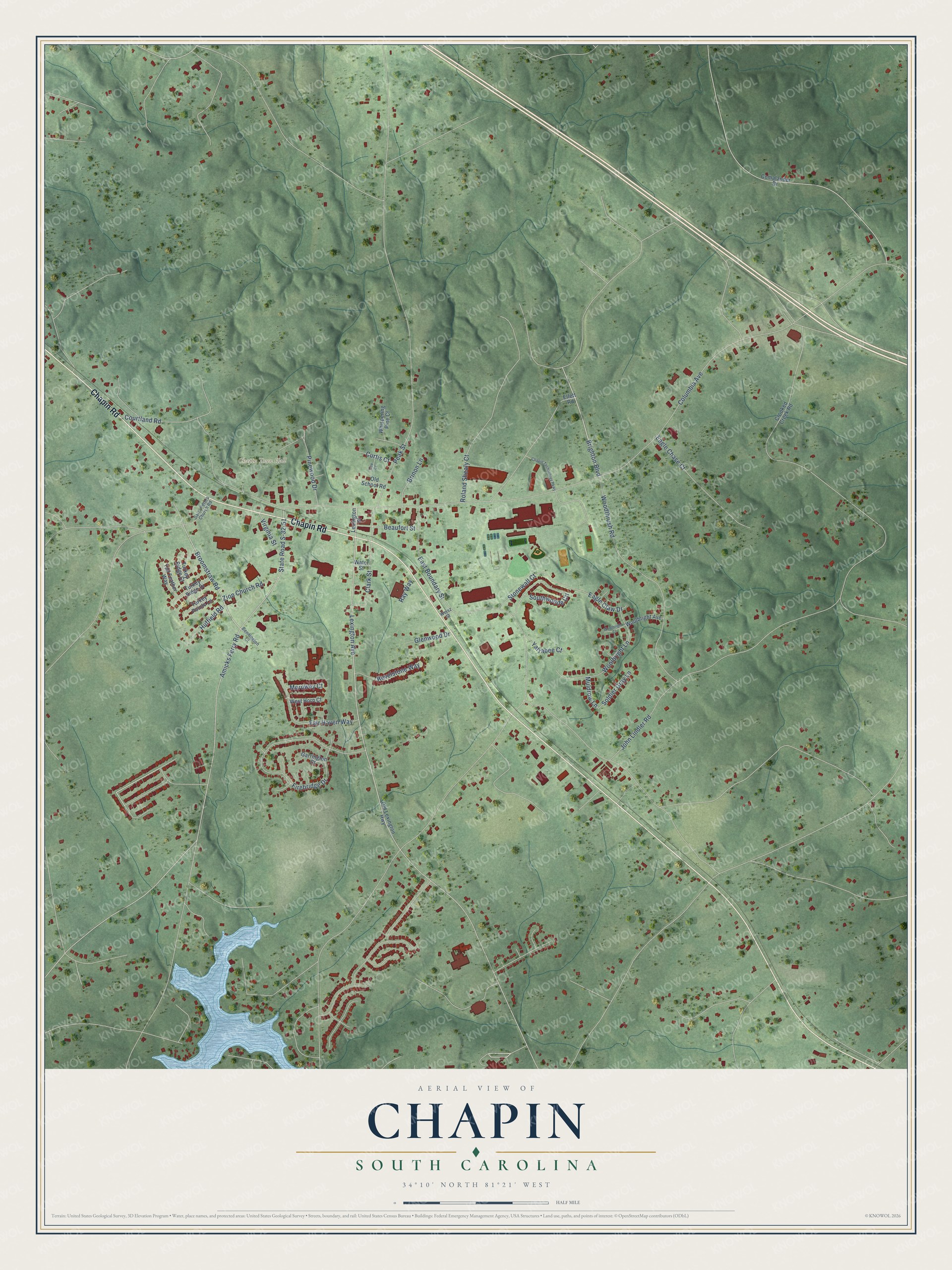
Street and place names on the Chapin, South Carolina map
These names are printed on the map of Chapin, South Carolina.
Places: Chapin Town Hall.
Streets and roads: Chapin Road, Columbia Avenue, Brighton Boulevard, Lexington Avenue, Broomstraw Road, Woodthrush Road, Firebridge Drive, East Boundary Street, Amicks Ferry Road, State Road S-32-51, Woolbright Lane, Pinewood Drive.
More street names, A to Z
Beaufort Street, Bennington Court, Brinon Lane, Chapin Technology Parkway, Clark Street, Comalander Drive, Courtland Road, Cox Court, Crooked Creek Road, Curtis Court, Eagle Chase Court, Eagle Claw Drive, Ellett Road, Fair Haven Way, Garrington Court, Glenwood Drive, Huffield Road, John Lindler Road, Lexington Street, Merowey Court, Muldrow Lane, Old Lexington Highway, Old School Road, Peak Street, Ray Way, Revelstone Way, Roland Shealy Court, Saint Peters Church Road, Soldier Gray Lane, Southwoode Circle, Stonewall Court, Tail Feather Way, Turkey Pointe Lane, Turkey Ridge Court, Turkey Ridge Drive, Virginia Street, Water Street, Weisz Street, West Horn Court, Whispering Pine Court, Woolbright Avenue, Woolbright Court, Yarrabee Court, Zion Church Road.
See the Chapin, South Carolina map on a wall
The Chapin map as an 18 x 24 inch print in a black frame.

This beautifully detailed map of Chapin makes an attractive addition to your office, library, or den, and it can even be used to teach children the geography and history of the area. It also makes a great gift for anyone who grew up in Chapin or moved away. When you’re done exploring, click here to get your copy of the Chapin map.