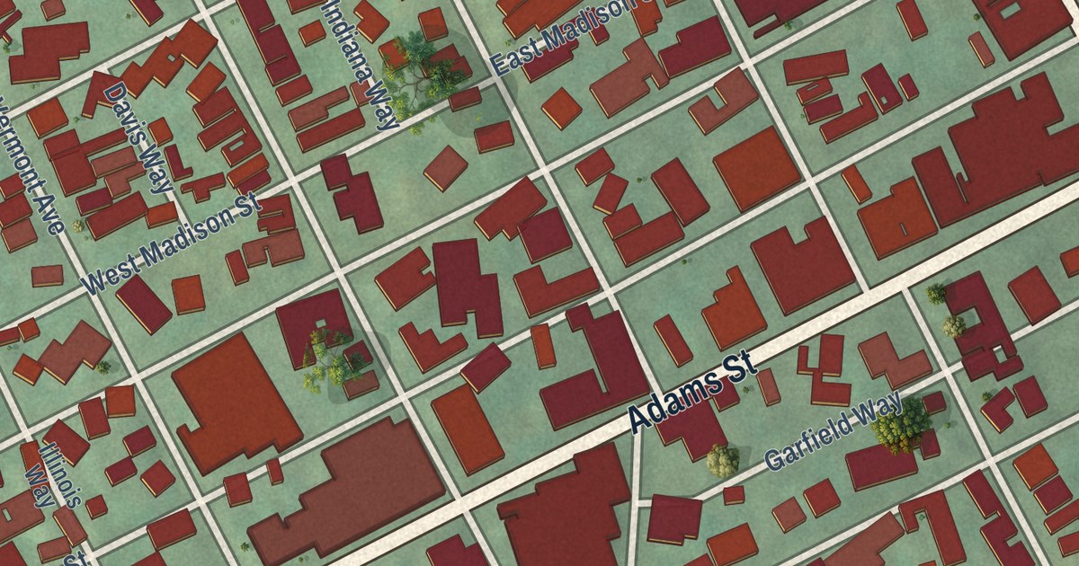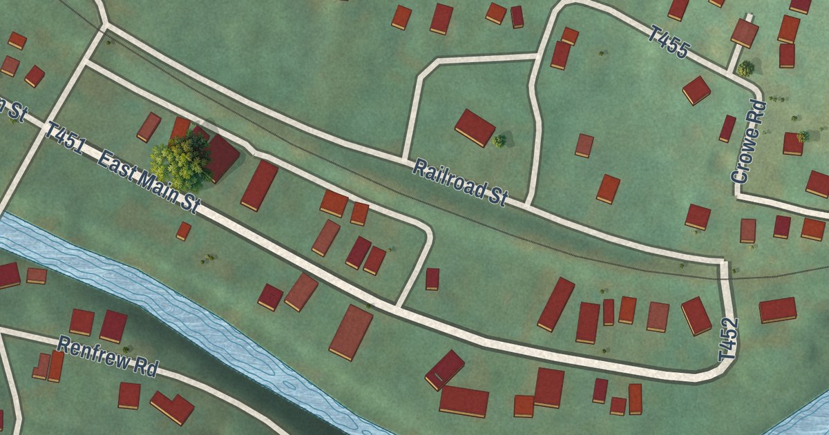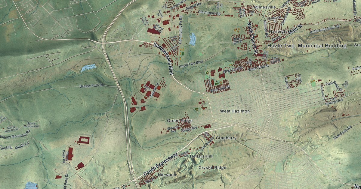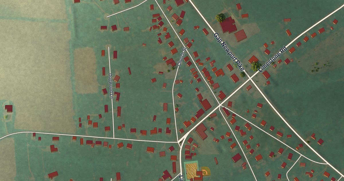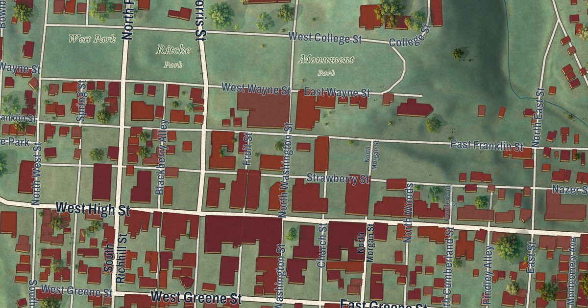
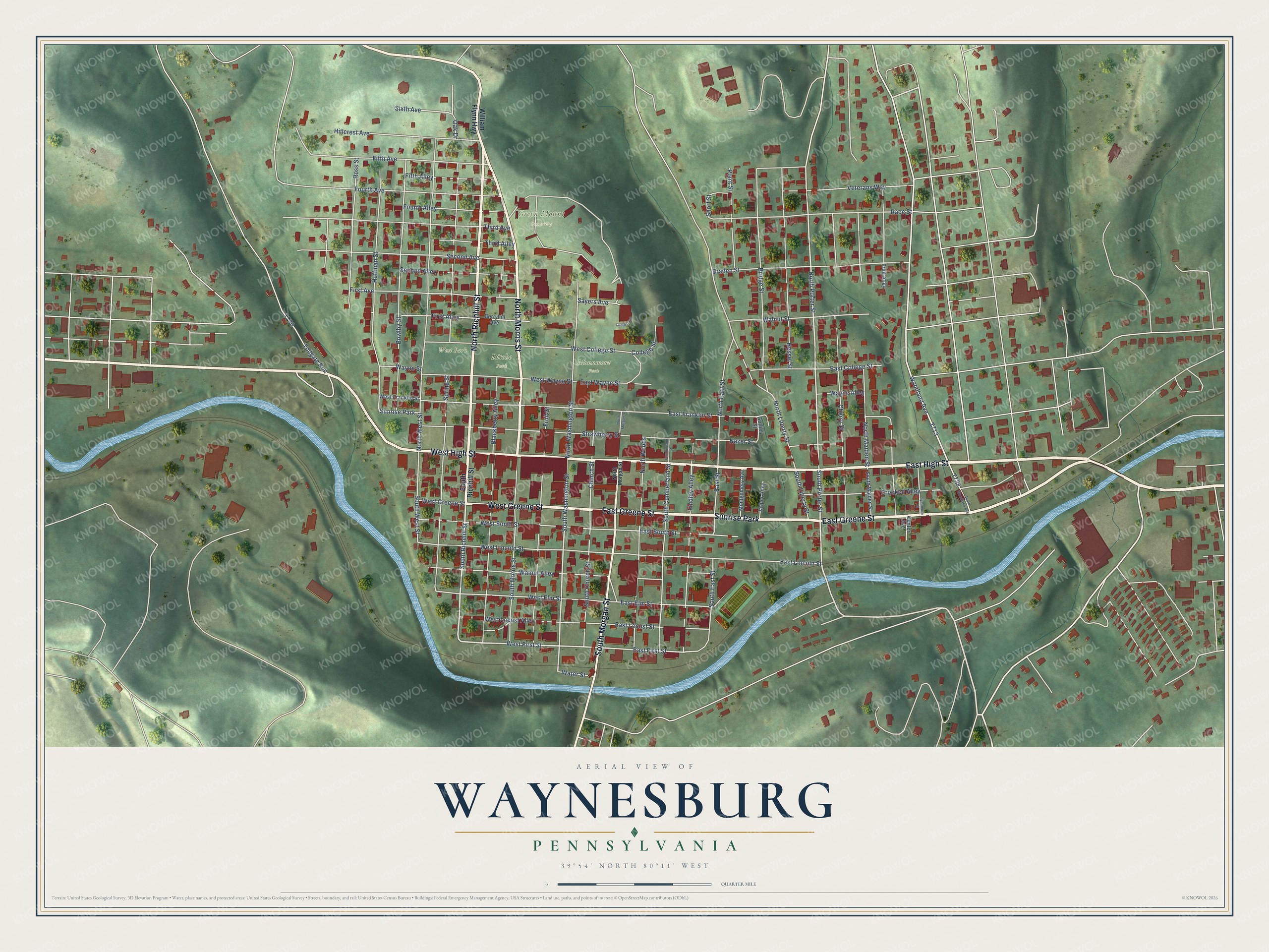
This beautifully detailed map of Waynesburg, Pennsylvania was created in 2026 using aerial imagery combined with modern topographical, census, street and landmark data. It’s a one-of-a-kind view of Waynesburg that combines accurate data with a vintage aesthetic. The map shows every building in its true location, many of the roads carry their names, and the shaded topographic relief shows the shape of the land.
Explore an aerial view of Waynesburg, Pennsylvania
On the map you’ll find Green Mount Cemetery, Monument Park, and Sunrise Park, along with East High Street, North Richhill Street, West High Street, East Greene Street, West Greene Street, North Morris Street, South Morgan Street, Woodland Avenue, and more. If you look closely you can even find your house accurately drawn in its correct location. Zoom in on the preview to look for yours.
Did you know this piece of Waynesburg, Pennsylvania history?
When Greene County was created in 1796, leaders picked Waynesburg as county seat since it lay at the middle of the new county. Thomas Slater owned the land. County commissioners bought 158 acres from him for a courthouse, jail and other public buildings. They named the town for Revolutionary War General Anthony Wayne, and it became a borough in 1816.
Take a closer look at the Waynesburg map
Street and place names on the Waynesburg, Pennsylvania map
These names are printed on the map of Waynesburg, Pennsylvania.
Places: Green Mount Cemetery, Monument Park, Ritche Park, West Park and Sunrise Park.
Streets and roads: East High Street, North Richhill Street, West High Street, East Greene Street, West Greene Street, North Morris Street, South Morgan Street, South Richhill Street, Woodland Avenue, West First Street, South Porter Street, North Porter Street.
More street names, A to Z
Berryhill Avenue, Blackberry Alley, Bowlby Street, Braden Street, Bridge Street, Center Avenue, Cherry Street, Church Street, College Street, Crooked Alley, Cumberland Street, East College Street, East Elm Street, East First Street, East Franklin Street, East Lincoln Street, East Locust Street, East South Street, East Street, East Wayne Street, Fifth Alley, Fifth Avenue, Findley Alley, First Alley, First Avenue, Fourth Alley, Fourth Avenue, Fruit Alley, Fruit Street, Gotlieb Street, Hessel Street, Hillcrest Avenue, Huffman Street, Jasper Alley, Locust Avenue, Montgomery Avenue, Nazer Street, North East Street, North Liberty Street, North Maiden Street, North Morgan Street, North Washington Street, North West Street, North Woods, Oak Drive, Point Street, Race Street, Ross Street, Sayers Avenue, Second Alley, Second Avenue, Short Street, Sixth Avenue, South Church Street, South Cumberland Street, South East Street, South Liberty Street, South Maiden Street, South Morris Street, South Washington Street, South West Street, South Woodland Avenue, Spring Street, Strawberry Street, Sycamore Street, Third Alley, Third Avenue, Tollgate Run, Veterans Way, Walnut Alley, Walnut Street, Water Street, Wayne Alley, Wayne Street, West College Street, West Elm Street, West Franklin Street, West Lincoln Street, West Locust Alley, West South Street, West Wayne Street, William Flynn Highway.
See the Waynesburg, Pennsylvania map on a wall
The Waynesburg map as an 18 x 24 inch print in a black frame.

This beautifully detailed map of Waynesburg makes an attractive addition to your office, library, or den, and it can even be used to teach children the geography and history of the area. It also makes a great gift for anyone who grew up in Waynesburg or moved away. When you’re done exploring, click here to get your copy of the Waynesburg map.