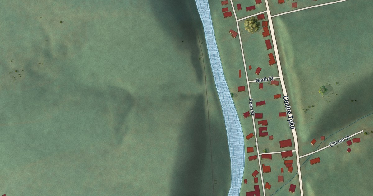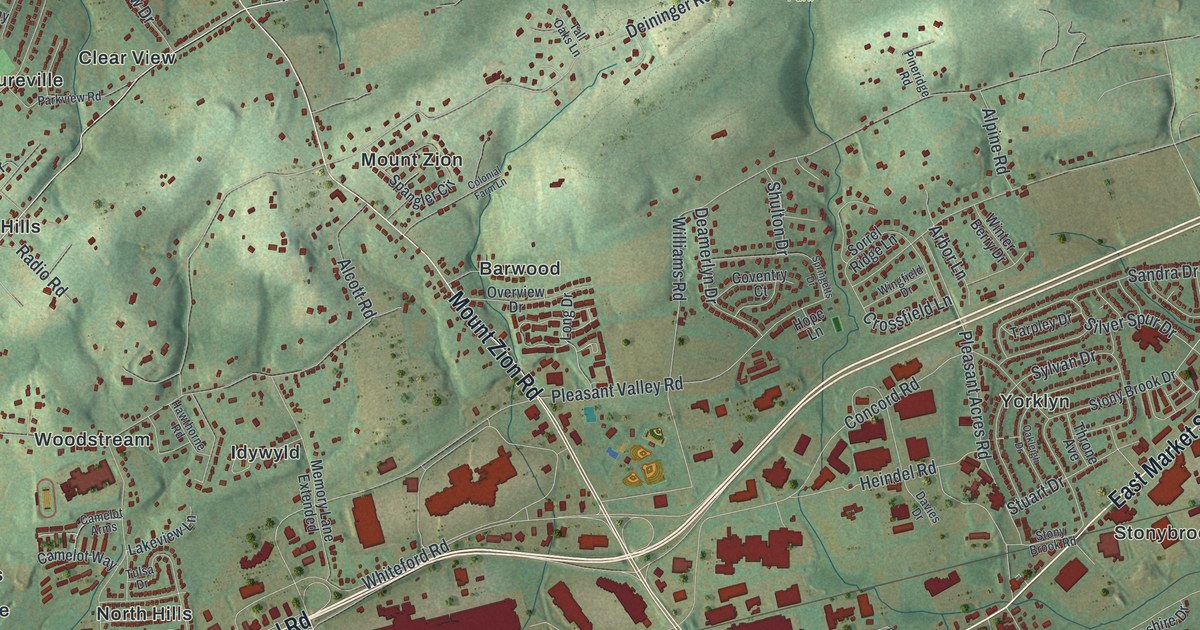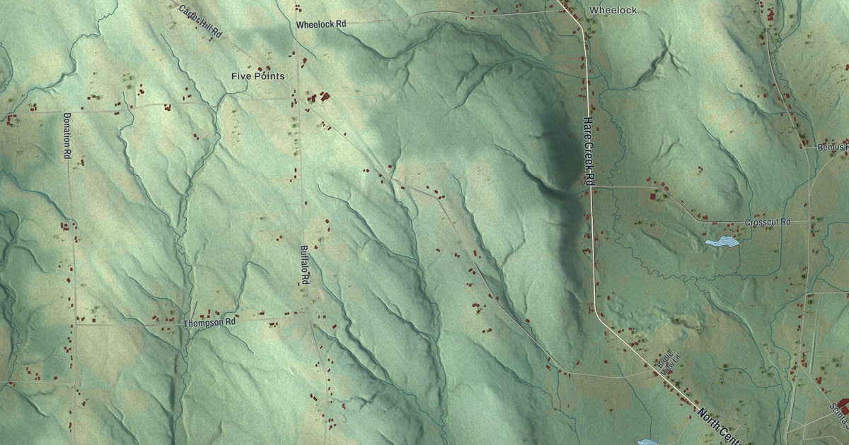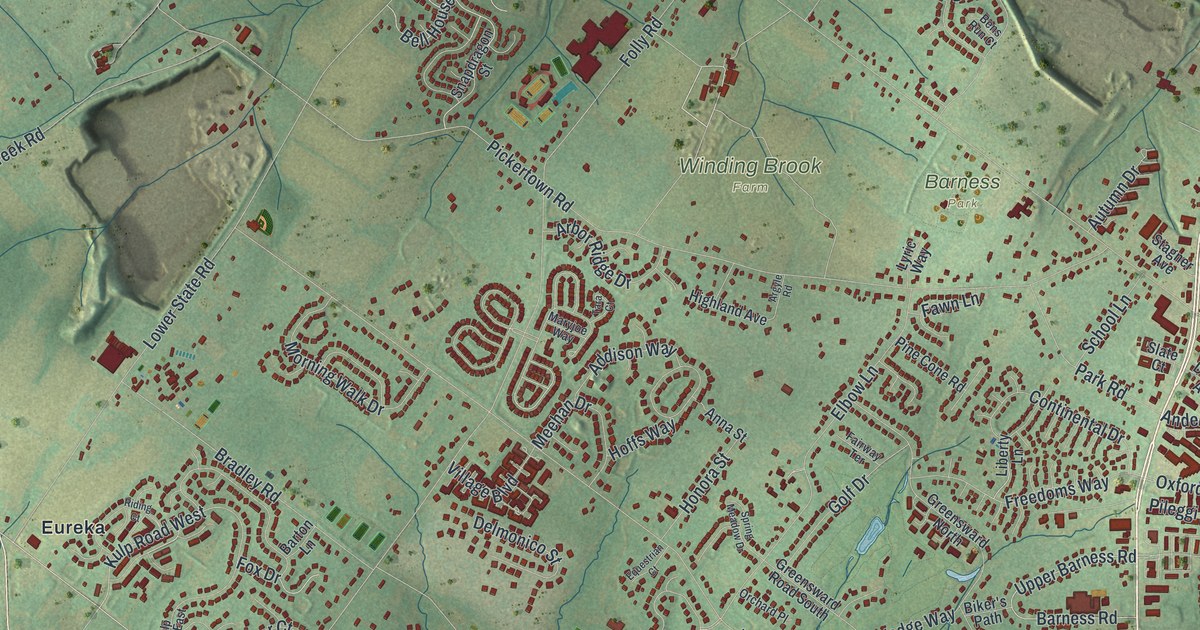
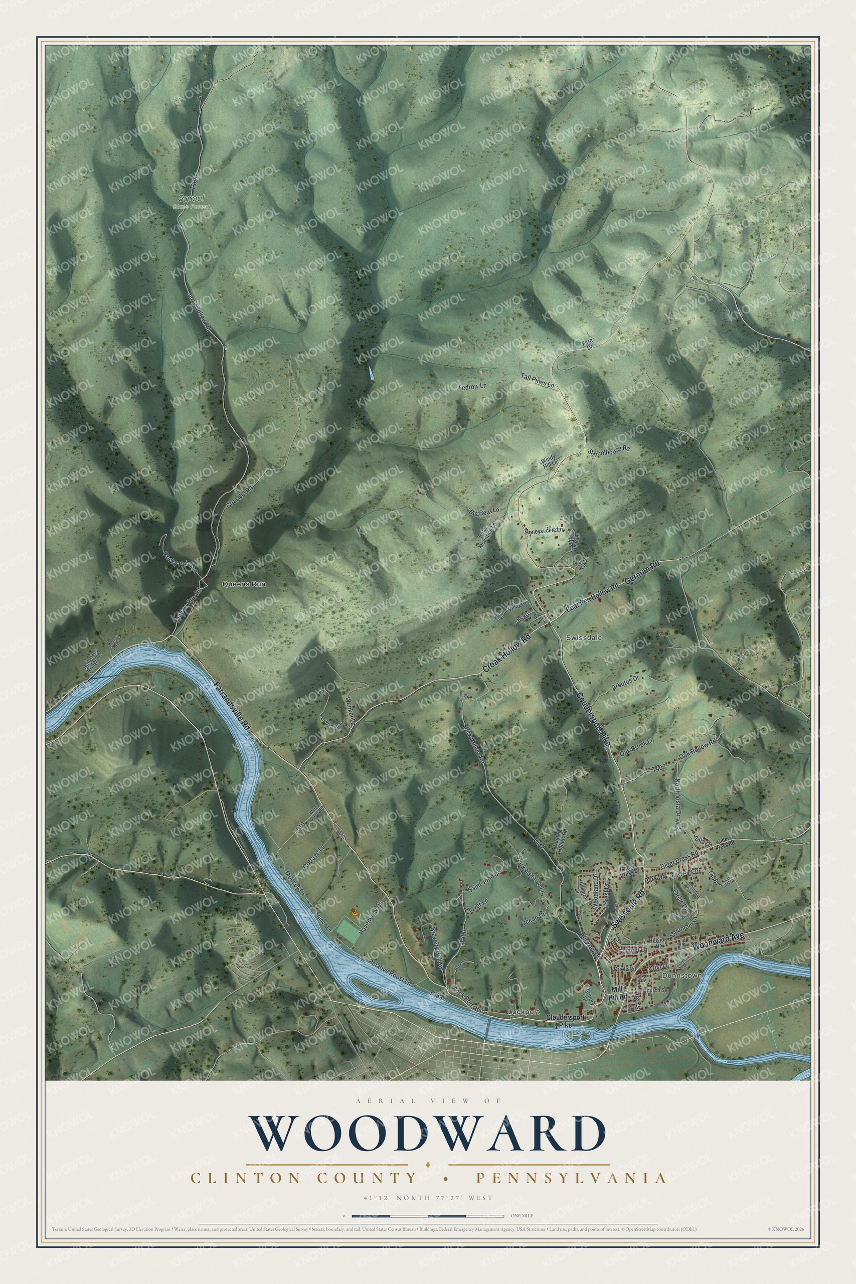
This beautifully detailed map of Woodward, Clinton County, Pennsylvania was created in 2026 using aerial imagery combined with modern topographical, census, street and landmark data. It's a modern aerial view of Woodward, Clinton County in Clinton County, Pennsylvania, that combines modern data with a vintage aesthetic. The roads feature printed names, and if you look closely you can find your exact house accurately shown in its correct location.
Explore an aerial view of Woodward, Clinton County, Pennsylvania
On this map you'll find Dunnstown, Lockport, Swissdale, Sproul State Forest, Queens Run, Coudersport Pike, Swissdale Road, German Road, Farrandsville Road, Croak Hollow Road, Woodward Avenue, Cider Press Road, and more. Each red shape is a building, so zoom in on the preview and look for yours.
Here is a piece of Woodward, Clinton County history, in the words of the record. The Pennsylvania Historical and Museum Commission puts it this way: "Many Indian nations have occupied the Great Island in the river just south of here. Trails led from the Genesee, Ohio, Potomac, and Susquehanna North Branch. Delawares and Shawnees stopped here for a time on their migration west."
Woodward, Clinton County is a place in Clinton County. The Census Bureau counted 2,453 people here in 2020.
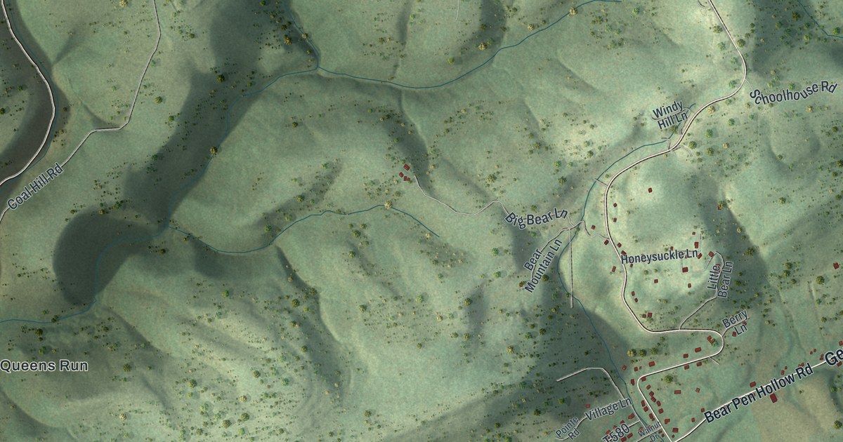
Take a closer look at the Woodward, Clinton County map
Names on this map
These names are printed on this map.
Places: Dunnstown, Lockport, Swissdale, Sproul State Forest and Queens Run.
Streets and roads: Coudersport Pike, Swissdale Road, German Road, Farrandsville Road, Croak Hollow Road, Woodward Avenue, Cider Press Road, Mountain Drive, Arch Street, Queens Run Road, Circle Drive, Woodland Drive.
More street names, A to Z
Aikey Street, Arbutus Drive, Armory Drive, Bear Mountain Lane, Bear Pen Hollow Road, Berry Lane, Big Bear Lane, Branch Lane, Brewery Hollow, Bridgens Lane, Church Street, Cider Press Drive, Cloudersport Pike, Clover Lane, Coal Hill Road, Cottage Lane, Crestview Drive, Crist Lane, Duck Drive, East Park Drive, Fern Drive, Forest Drive, Guardlock Drive, Havenview Drive, Hickory Drive, Hillside Drive, Hillspire Drive, Holly Drive, Honeysuckle Lane, Hunter Hollow Road, Jerry Hollow Road, Julia Drive, Linnet Lane, Little Bear Lane, Lock Port Heights, Mill Hill Road, Monsey Drive, Mountain View Drive, North Vista Drive, Oak Brook Lane, Oak Hollow Road, Ocean Drive, Oriole Road, Park Drive, Pointe Road, Railroad Bridge Lane, Relative Roost Lane, Ridge Drive, River Hill Farm Lane, River Street, Rocky Point Lane, Saint John Lane, Schoolhouse Road, Shirk Addition Lane, Shirk Hollow Road, Smith Lane, South Allegheny Street, South Vista Drive, Tall Pines Lane, Tedrow Lane, Upperhill Drive, Village Lane, Walnut Drive, Water Valley Road, Wenker Lane, Windy Hill Lane, Zapple Road.
Created by KNOWOL in 2026. The buildings are small red shapes, the roads carry their printed names, and shaded relief shows the shape of the land. The title panel reads "AERIAL VIEW OF WOODWARD CLINTON COUNTY • PENNSYLVANIA" with 4, 1, °, 1, 2, ', , N, O, R, T, H, , 7, 7, °, 2, 7, ', , W, E, S, T.
It suits a den, a classroom or a front hall, and it makes a gift for anyone with Woodward, Clinton County roots. Open the preview and find the block you know. See sizes and frames for the Woodward, Clinton County map.