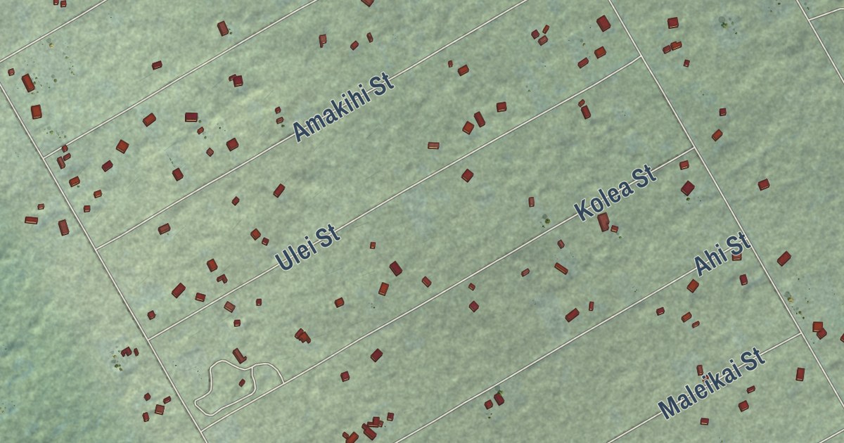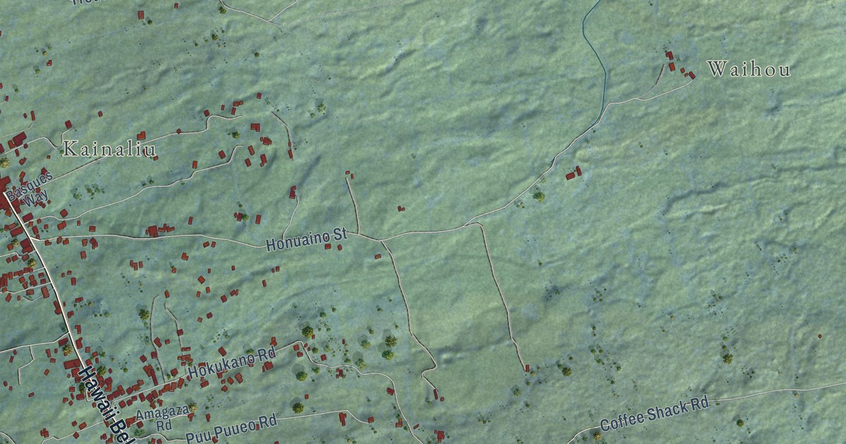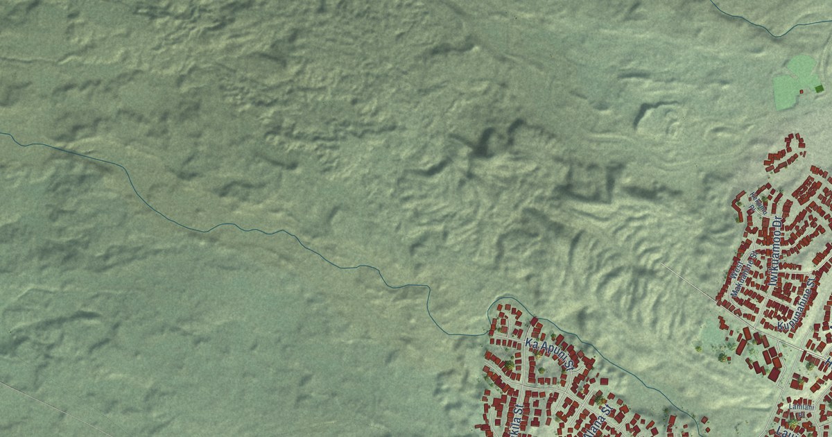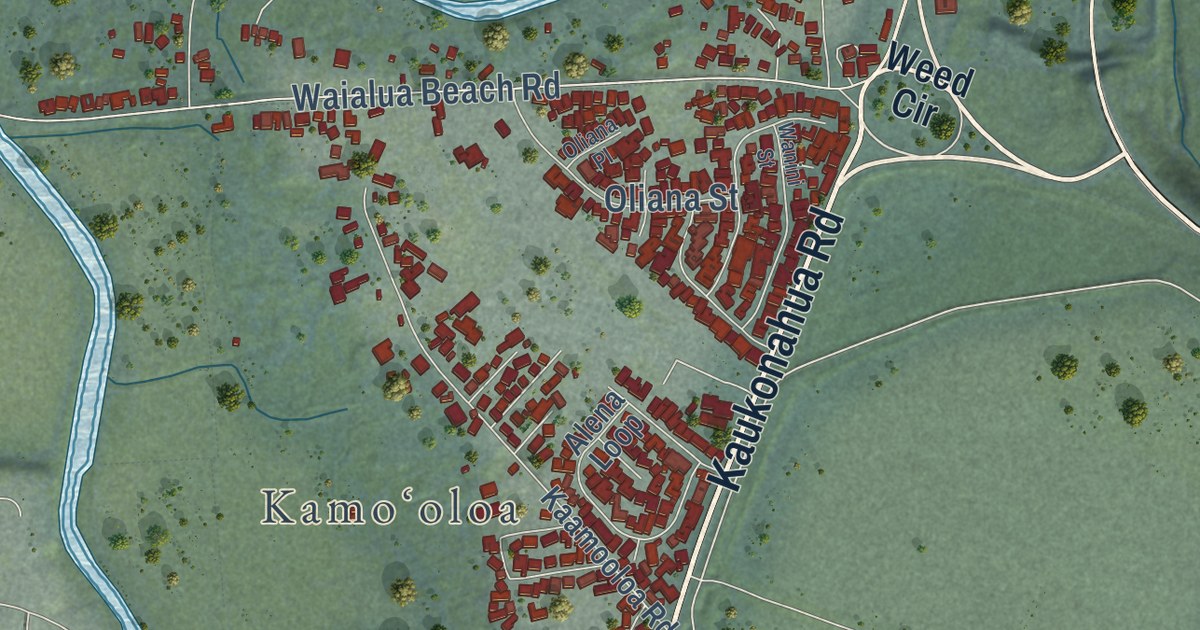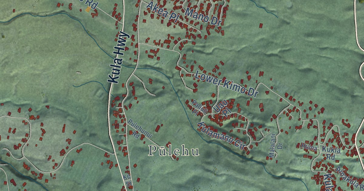
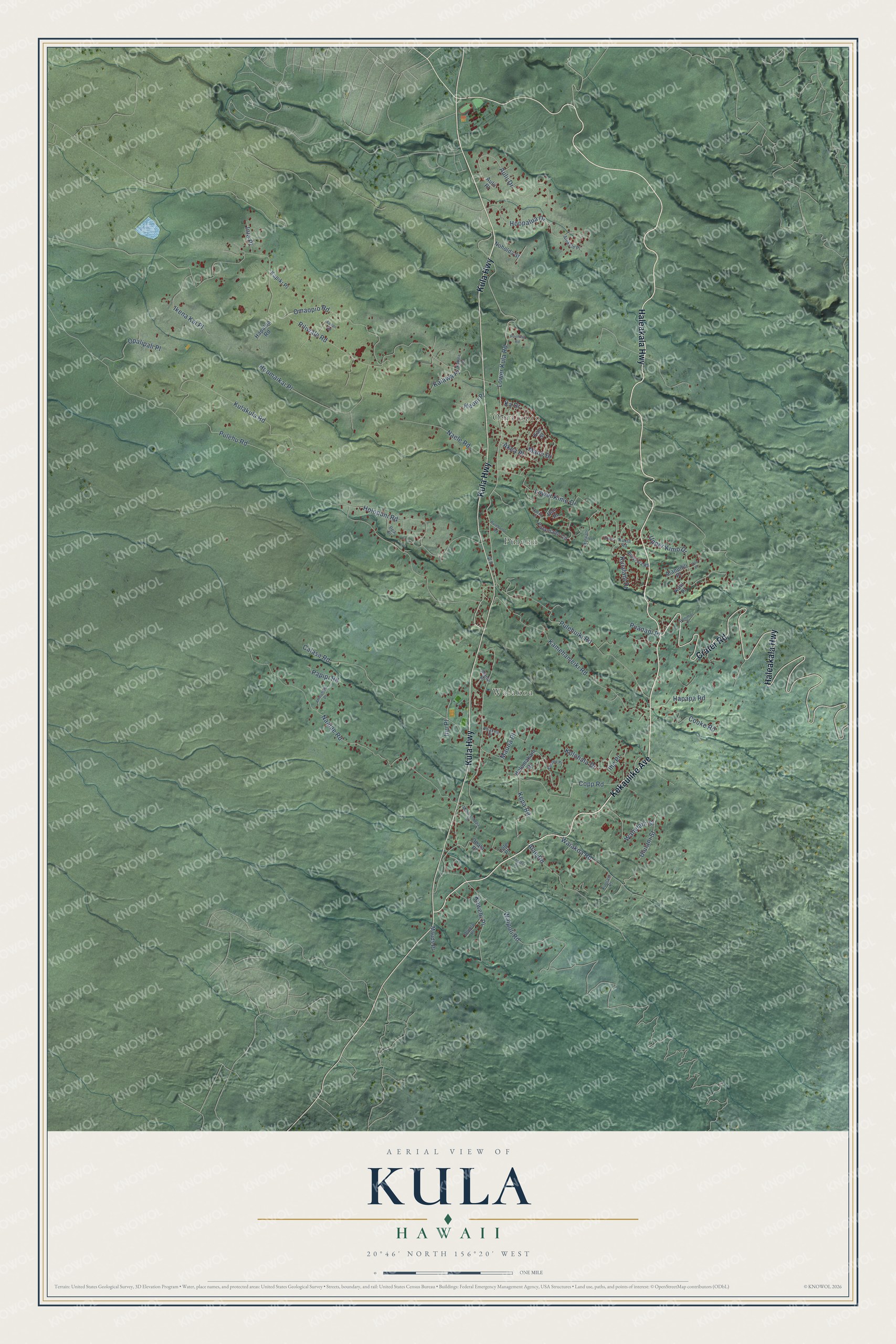
This beautifully detailed map of Kula, Hawaii was created in 2026 using aerial imagery combined with modern topographical, census, street and landmark data. It’s a one-of-a-kind view of Kula that combines accurate data with a vintage aesthetic. The map shows every building in its true location, many of the roads carry their names, and the shaded topographic relief shows the shape of the land.
Explore an aerial view of Kula, Hawaii
On the map you’ll find ʻŌmaʻopio, Pūlehu, and Waiakoa, along with Haleakala Highway, Kekaulike Avenue, Kula Highway, Crater Road, Lower Kula Road, Piliwale Road, Waipoli Road, Pulehu Road, Omaopio Road, and more. If you look closely you can even find your house accurately drawn in its correct location. Zoom in on the preview to look for yours.
Did you know this about Kula, Hawaii?
From the Hawaiian Encyclopedia: "Kula Botanical Gardens is a 6-acre (2.4-ha) garden at an elevation of about 3,300 feet (1,006 m), and displays various native and Polynesian-introduced trees and plants as well as many exotic flowers, including an orchid house and about 60 varieties of proteas."
Take a closer look at the Kula map
Street and place names on the Kula, Hawaii map
These names are printed on the map of Kula, Hawaii.
Places: ʻŌmaʻopio, Pūlehu and Waiakoa.
Streets and roads: Haleakala Highway, Kekaulike Avenue, Kula Highway, Crater Road, Lower Kula Road, Piliwale Road, Waipoli Road, Pulehu Road, Omaopio Road, Naalae Road, Kamehameiki Road, Lower Kimo Drive.
More street names, A to Z
Aaapii Road, Ahinahina Place, Ainakula Road, Akea Place, Alae Road, Alanuilili Place, Alanui Place, Alokele Place, Aulii Drive, Aulii Place, Calasa Road, Cooke Road, Copp Road, Foster Place, Hapalua Road, Hapapa Road, Holomakani Drive, Holopuni Road, Hoomaikai Place, Hoopalua Drive, Huina, Ihe Place, Ikena Kai Place, Inia Place, Inu Place, Ka Drive, Kahala Place, Kahoea Place, Kalawa Place, Kapiki Place, Kaui Place, Kau Street, Kawehi Place, Keoni Place, Kepa Road, Ke Street, Kolohala Drive, Kukia Road, Kulakula Road, Kulalani Drive, Kulamanu Circle, Kuulani Place, Lole Place, Malalani Drive, Malia-Lokepa Place, Mano Drive, Mauds Place, Mauna Place, Naele Road, Noholda Street, Ohala Place, Oluolu Place, Opalipali Place, Paliuli Place, Papipi Road, Pea Place, Ponimoi Place, Poohina Road, Puakea Place, Puanani Place, Pulehuiki Road, Pulehunui Road, Uau Place, Ululani Street, Upper Kimo Drive, Upu Place, Wahelani Street, Waiakoa Road.
See the Kula, Hawaii map on a wall
The Kula map as an 18 x 24 inch print in a black frame.

This beautifully detailed map of Kula makes an attractive addition to your office, library, or den, and it can even be used to teach children the geography and history of the area. It also makes a great gift for anyone who grew up in Kula or moved away. When you’re done exploring, click here to get your copy of the Kula map.