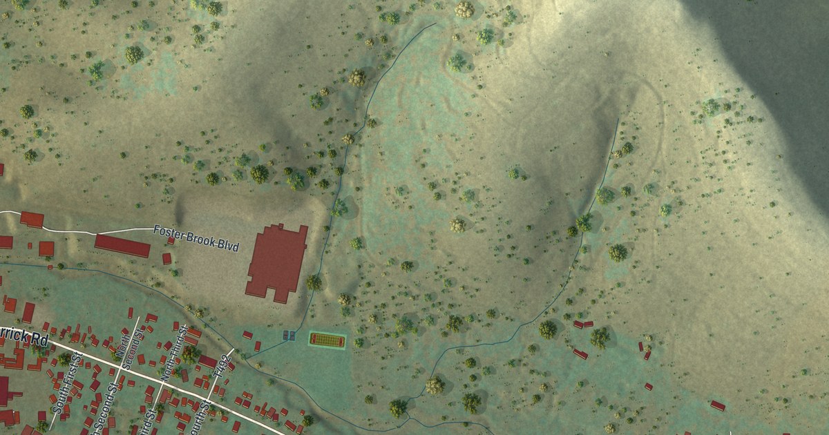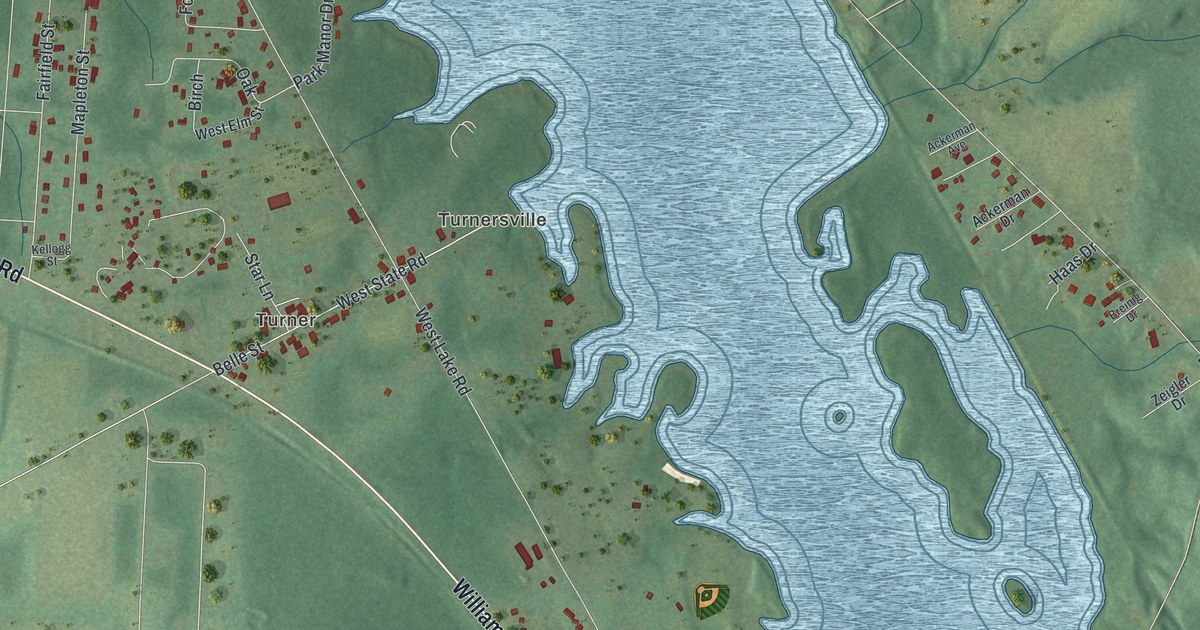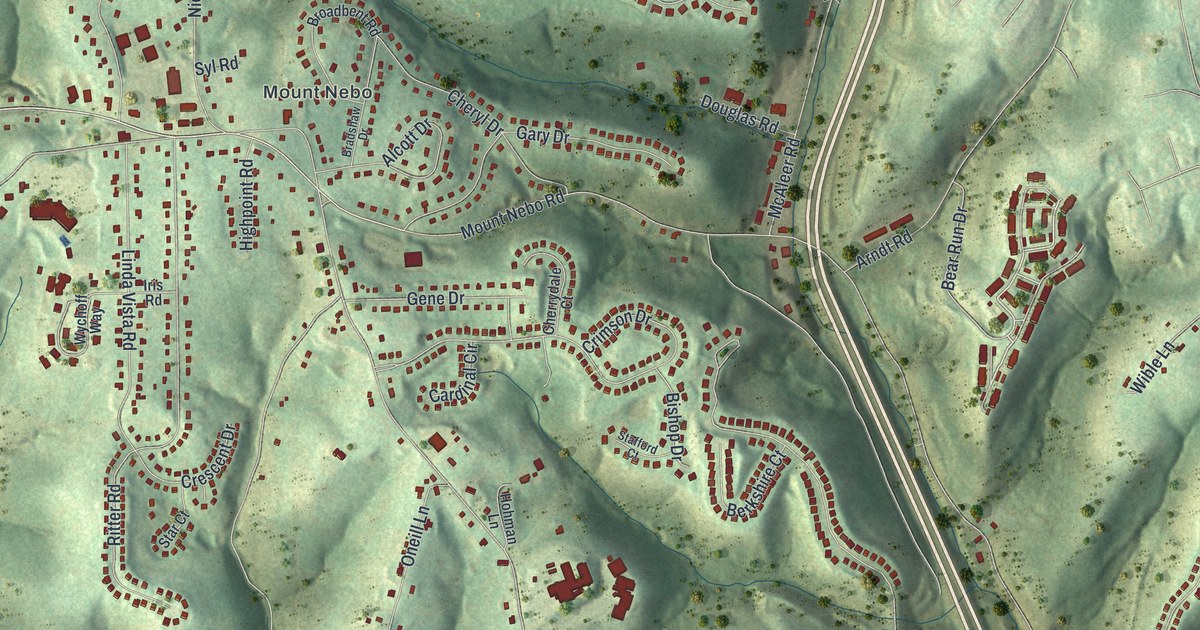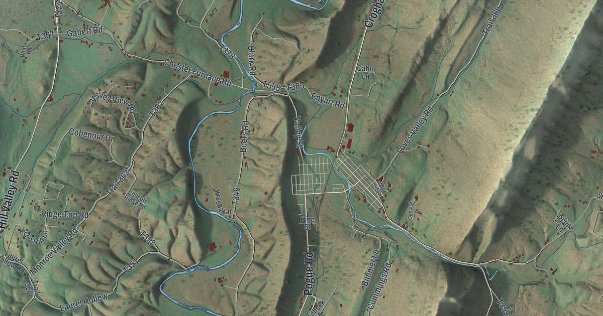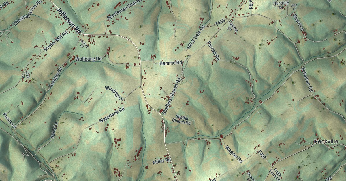
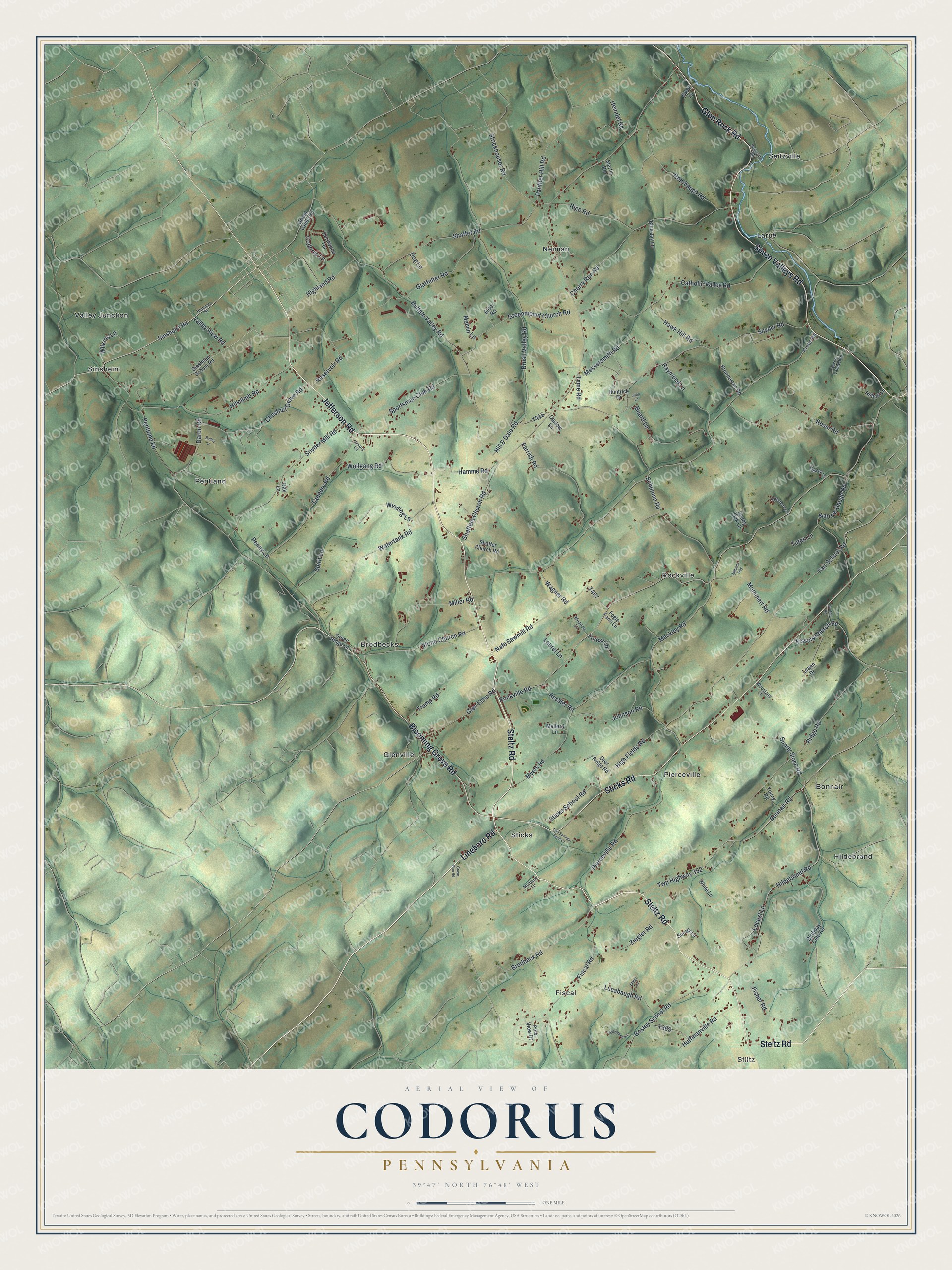
This beautifully detailed map of Codorus, Pennsylvania was created in 2026 using aerial imagery combined with modern topographical, census, street and landmark data. It’s a one-of-a-kind view of Codorus that combines accurate data with a vintage aesthetic. The map shows every building in its true location, many of the roads carry their names, and the shaded topographic relief shows the shape of the land.
Explore an aerial view of Codorus, Pennsylvania
On the map you’ll find Stiltz, Bonnair, Brodbecks, Fiscal, Glenville, Hildebrand, Larue, Neiman, Pentland, Pierceville, Rockville, Seitzville, and more. If you look closely you can even find your house accurately drawn in its correct location. Zoom in on the preview to look for yours.
Did you know this piece of Codorus, Pennsylvania history?
Codorus Township shares its name with Codorus Creek, whose branches drain it. The name is Indian, but its meaning is unknown. Some land in the southern part was taken up about 1742 under Maryland titles, before the temporary state line was run. The township was organized under Lancaster County in 1747, two years before York County was formed. That’s from the 1886 History of York County, Pennsylvania.
Take a closer look at the Codorus map
Street and place names on the Codorus, Pennsylvania map
These names are printed on the map of Codorus, Pennsylvania.
Places: Stiltz, Bonnair, Brodbecks, Fiscal, Glenville, Hildebrand, Larue, Neiman, Pentland, Pierceville, Rockville, Seitzville, Sinsheim, Sticks and Valley Junction.
Streets and roads: Steltz Road, Jefferson Road, Lineboro Road, Seven Valleys Road, Sticks Road, Glen Rock Road, Blooming Grove Road, Valley View Road, Hamme Road, Fair School Road, High Fields Road, Sinsheim Road.
More street names, A to Z
Bailey Lane, Beard Lane, Birthday Club Road, Blue Jay Lane, Bonnair Road, Bortner Road, Bosley School Road, Brenneman Road, Brodbeck Road, Brush Valley Road, Buffalo Valley Road, Caslow Lane, Catholic Valley Road, Cherry Run Road, Chestnut Grove Road, Codorus Lane, Daron Road, Deer Ridge Road, Dog Lane, Elder Road, Elmer Lane, Evergreen Lane, Fiscal Road, Fisher Road, Fissels Church Road, Fogle Farm Lane, Forest Lane, Glatfelter Road, Glen Echo Road, Grave Run Road, Greenmount Church Road, Green Ridge Lane, Green Valley Road, Groff Lane, Hanover Street, Hardwood Terrace, Hawk Hill Road, Heindel Road, Highland Road, Hildebrand Road, Hill & Dale Road, Hillclimb Road, Hilltop Lane, Huffmanville Road, Huntrick Drive, John Lane, Johnson Road, Krebs Road, Laurel Lane, Leann Drive, Locust Lane, Lucabaugh Road, Mallard Lane, Martin Road, Meadow Lane, Meckley Road, Melvin Lane, Messersmith Road, Millards Way, Miller Road, Mulberry Lane, Mummert Road, Myers Road, Nafe Sawmill Road, Narrow Gauge Road, Oak Lane, Panther Hill Road, Parrish Road, Penny Lane, Pentland Road, Pierceville Road, Pine View Drive, Raymond Lane, Reservoir Road, Ressler Road, Rice Road, Ridge Road, Rockville Road, Rohrbaugh Road, Roser Road, Schuman Road, Seitzville Road, Shady Oak Lane, Shaffer Church Road, Shaffer Road, Shaffers Church Road, Sinsheim School Road, Snyder Mill Road, Snyder Road, Spirit Lane, Sportsman Club Road, Sticks School Road, Stone Church Road, Strickhouser Road, Sunny Slope Road, Sunset Lane, Sycamore Lane, Tannery Road, Tome Road, Trump Road, Tuten Lane, Two Springs Farm Lane, Twp Highway 352, Victory Lane, Wagner Road, Watertank Road, White Lane, Whitney Lane, Wilkins Lane, Winding Lane, Wolfgang Road, Woodland Lane, Young Road, Ziegler Road.
See the Codorus, Pennsylvania map on a wall
The Codorus map as an 18 x 24 inch print in a black frame.

This beautifully detailed map of Codorus makes an attractive addition to your office, library, or den, and it can even be used to teach children the geography and history of the area. It also makes a great gift for someone who left Codorus and still calls it home. When you’re done exploring, click here to get your copy of the Codorus map.