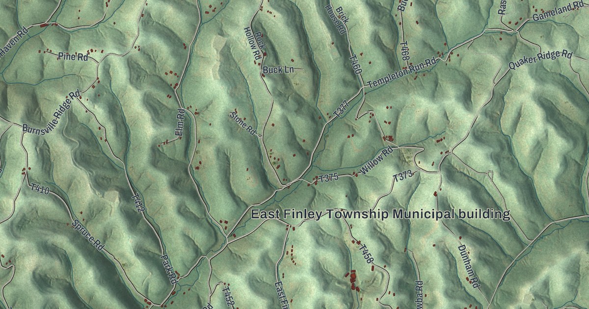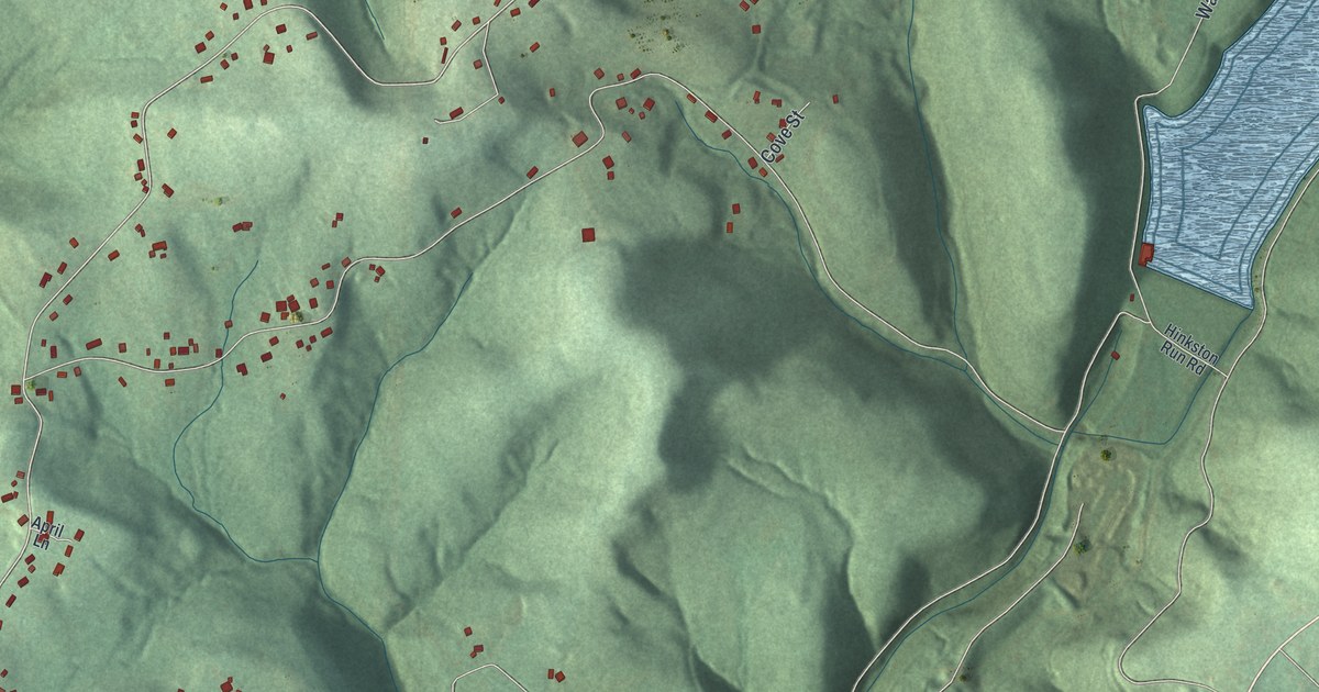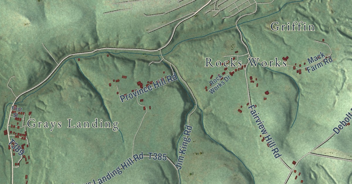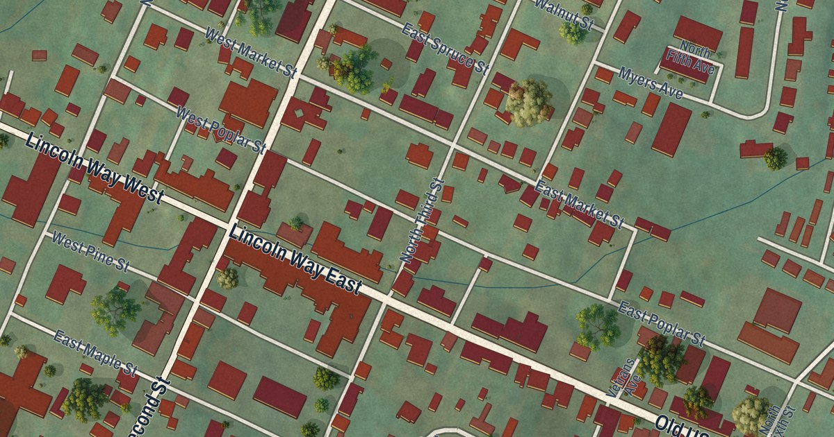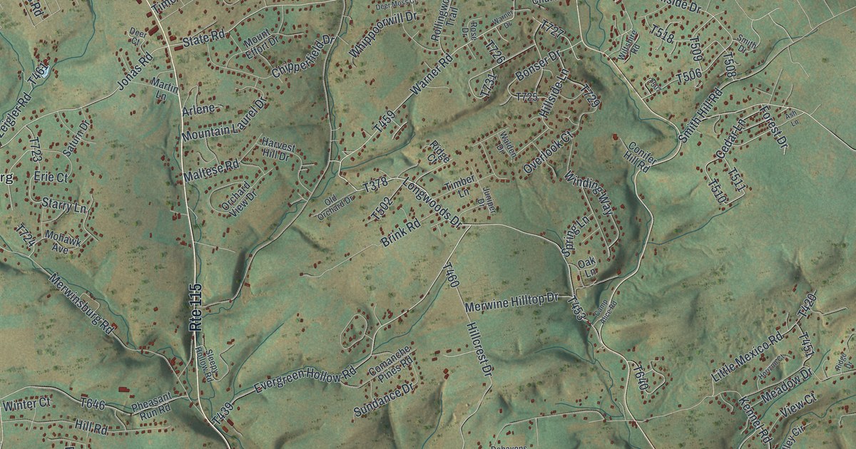
This beautifully detailed map of Chestnuthill, Pennsylvania was created in 2026 using aerial imagery combined with modern topographical, census, street and landmark data. It’s a one-of-a-kind view of Chestnuthill that combines accurate data with a vintage aesthetic. The map shows every building in its true location, many of the roads carry their names, and the shaded topographic relief shows the shape of the land.
Explore an aerial view of Chestnuthill, Pennsylvania
On the map you’ll find Chestnuthill Township, Mechanicsville, McIlhaney, State Game Lands Number 38, Brodheadsville, Effort, Gilbert, McMichael, Merwinsburg, Sun Valley, Weir Lake, Hamilton West, and more. If you look closely you can even find your house accurately drawn in its correct location. Zoom in on the preview to look for yours.
Did you know this piece of Chestnuthill, Pennsylvania history?
From the 1886 History of Wayne, Pike, and Monroe counties, Pennsylvania: "The first official information relative to the erection of Chestnuthill township appears in the Quarter Sessions Docket of Northampton County. This docket shows that on September 20, 1763, Abraham Smith was appointed constable of Chestnuthill township."
Take a closer look at the Chestnuthill map
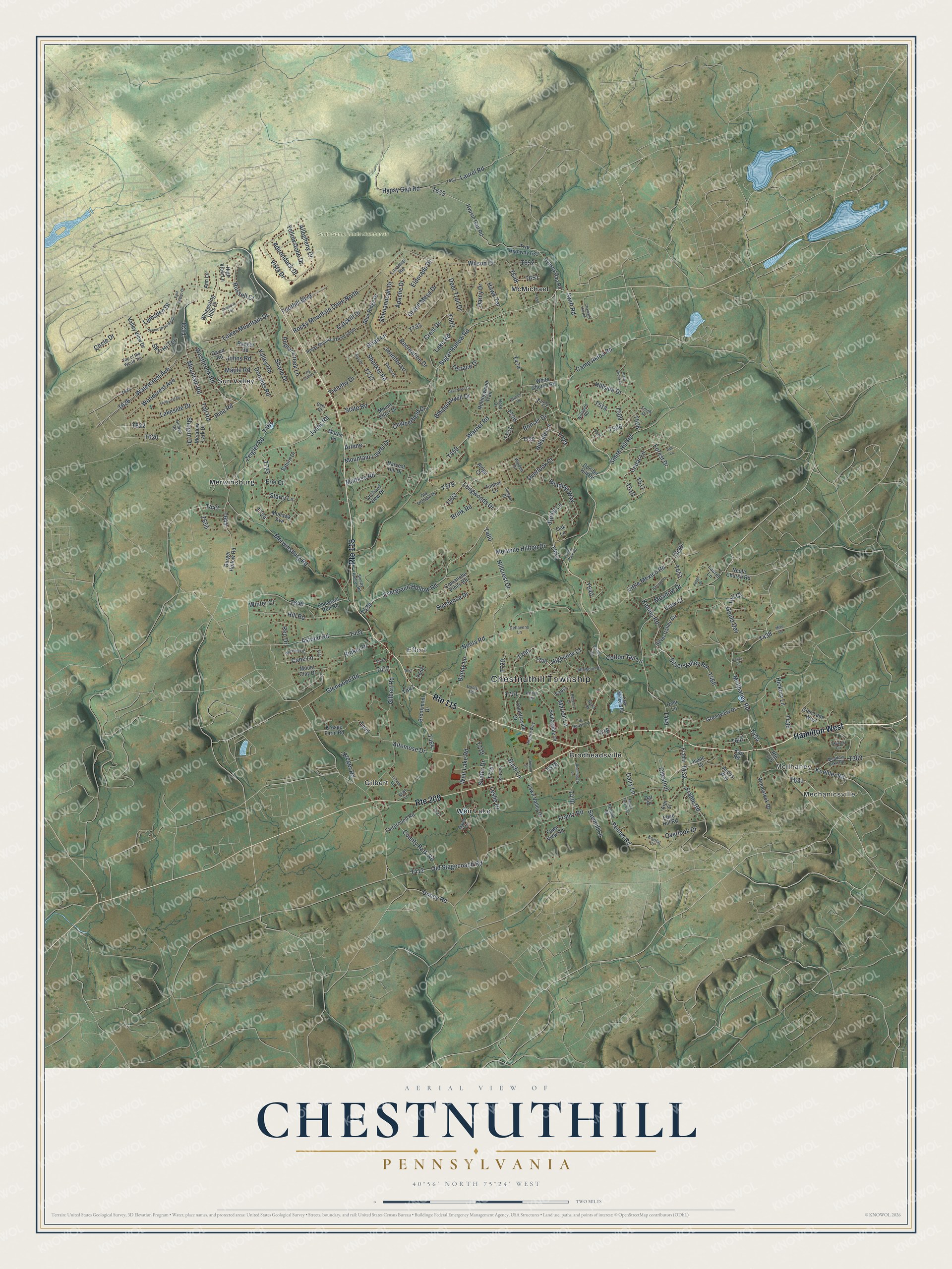
Street and place names on the Chestnuthill, Pennsylvania map
These names are printed on the map of Chestnuthill, Pennsylvania.
Places: Chestnuthill Township, Mechanicsville, McIlhaney, State Game Lands Number 38, Brodheadsville, Effort, Gilbert, McMichael, Merwinsburg, Sun Valley and Weir Lake.
Streets and roads: Hamilton West, Route 209, Route 115, Jonas Road, Toll Road, McIlhaney Road, Longwoods Drive, State Road, Westbrook Road, Mountain Road, Pine Road, Forest Drive.
More street names, A to Z
Adirondack Drive, Alan Drive, Allegheny Drive, Altemose Drive, Andys Way, Ann Lane, Ann Street, Apache Drive, Arlene, Arthur Lane, Ash Lane, Astolat Road, Blue Ridge Drive, Bonser Drive, Brian Lane, Brink Road, Brookmont Drive, Bunny Lane, Burger Hollow Road, Bush Lane, Camp Akiba Road, Camp Alice Road, Cane Lane, Catskill Drive, Cedar Lane, Chatham Hill Road, Chestnut, Chesunt Street, Chipperfield Drive, Circle Drive, Comanche Pines Road, Conifer Hill Road, Cotton Tail Lane, Countryside Drive, County Park Road, Crest Drive, Dairy Lane, Daisy Drive, Dal Drive, Darcy Drive, David Road, Deer Court, Deer Lane, Deer Moss Court, Deer Trail Drive, Dehavens Lane, Donalds Road, Doney Road, Dusty Road, East Scenic Drive, Edge Hill Road, Eldorado Drive, Erie Court, Evergreen Hollow Road, Fairground Road, Faust, Fawn Valley Drive, Fawn View Road, Fire House Lane, Foothill Boulevard, Frable, Frable Road, Frantz Road, Gilbert Road, Glen Lane West, Glenwood Road, Golden Road, Gould Dev, Gould Road, Grand Mesa Drive, Greenview Drive, Harvest Hill Drive, Hawk Terrace, Hickory Lane, Highview Court, High View Lane, Hill Court, Hillcrest Drive, Hill Road, Hillside Drive, Hillside Lane, Horizon Court, Hypsey Gap Road, Hypsie Gap Road, Hypsy Gap Road, Idlewood Drive, Isaac Court, Jennifer Lane, Johns Road, Juniper Drive, Karl Road, Kennel Road, Koehler Road, Kreger Road, Kresge Farm Road, Krystal Court, Lacey Lane, Lake Mineola Road, Lake Road, Lakeside Drive, Lamsden Drive, Laramie Road, Laurel Lane, Laurel Road, Leslie Drive, Little Mexico Road, Lizzie Lane, Log Cabin Lane, Long Leaf Drive, Lower Mountain Drive, Maltese Road, Maple Lane, Maple Road, Marion Lane, Martin Lane, Meadow Drive, Meadow Lake Road, Meadow Lark Drive, Merwine Hilltop Drive, Merwinsburg Road, Mills Road, Mohawk Avenue, Mountain Laurel Drive, Mount Clay Drive, Mount Effort Drive, Neola Church Road, Neola Road, Oak Lane, Old Orchard Drive, Old Stagecoach Road, Orchard View Drive, Overlook Court, Overlook Drive, Overlook Terrace, Pennell Road, Pennel Road, Pheasant Run Road, Piaxtla Road, Pilgrim Way, Poplar Creek Lane, Ranger Road, Recreation Drive, Red Pine Lane, Regency Lane, Reo Drive, Ridge Court, Ridge Drive, Rinker Drive, Rocky Mountain Drive North, Rocky Mountain Drive South, Rodenbach Lane, Rollingwood Trail, Rose Drive, Russell Court, Saturn Drive, Sawmill Lane, Scenic Drive South, Scott Street, Shafer Drive, Shane Drive, Shenandoah Drive, Shenkel Road, Shogun Drive, Silver Valley Circle, Silver Valley Road, Sky-Hi Terrace, Skyview Circle, Sleepy Hollow Road, Smith Drive, Smith Hill Road, Sodl Lane, Spring Lane, Starry Lane, Stones Throw Road, Stony Brook Drive, Sugar Hollow Road, Sundance Drive, Swift Road, Switzgable Drive, Terrace Drive, Timber Lane, Timothy Drive, Top of the World Terrace, Twp Highway 633, Valley Road, Valley View Drive, View Court, Vista Drive, Walden Drive, Warner Drive, Warner Road, Watercrest Avenue, Weir Lake Road, Whippoorwill Drive, Whispering Hills Court, White Church Road, Wilson Court, Wiltshire Road, Winding Way, Winter Court, Woodcrest Avenue, Woodstock Drive, Yellowstone Drive, Zeigler Road.
See the Chestnuthill, Pennsylvania map on a wall
The Chestnuthill map as an 18 x 24 inch print in a black frame.

This beautifully detailed map of Chestnuthill makes an attractive addition to your office, library, or den, and it can even be used to teach children the geography and history of the area. It also makes a great gift for anyone with Chestnuthill roots. When you’re done exploring, click here to get your copy of the Chestnuthill map.