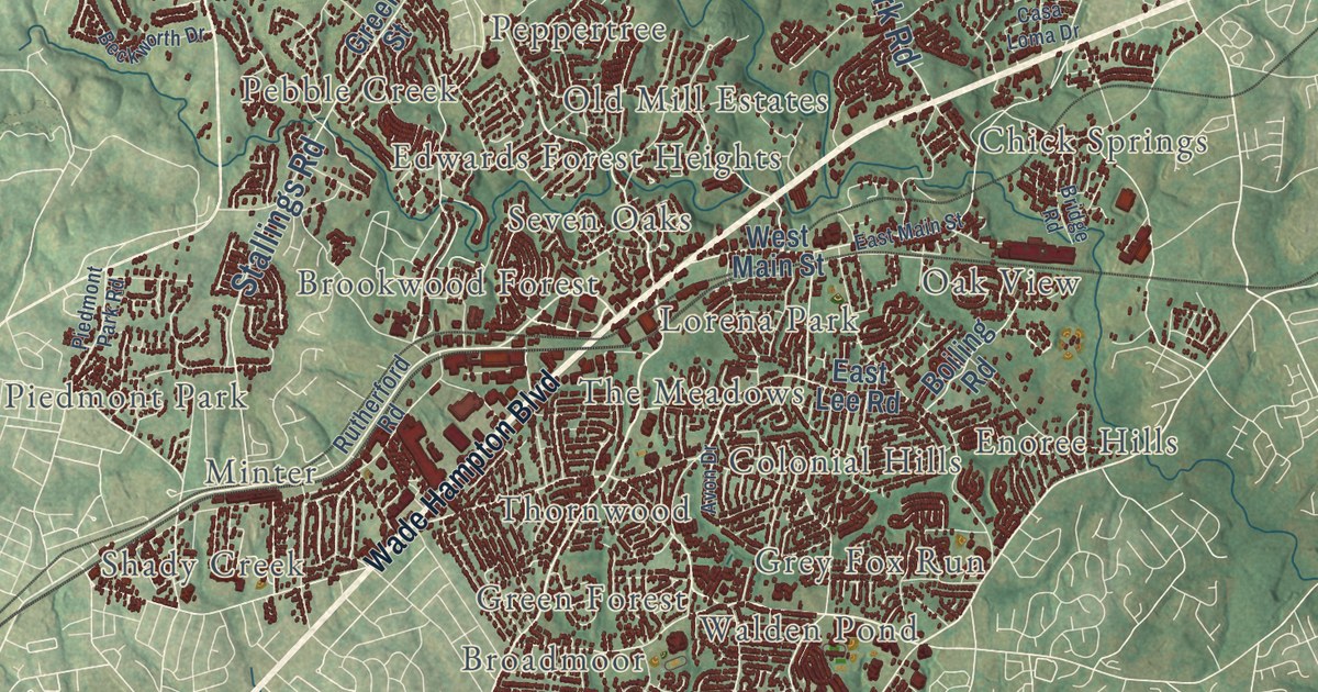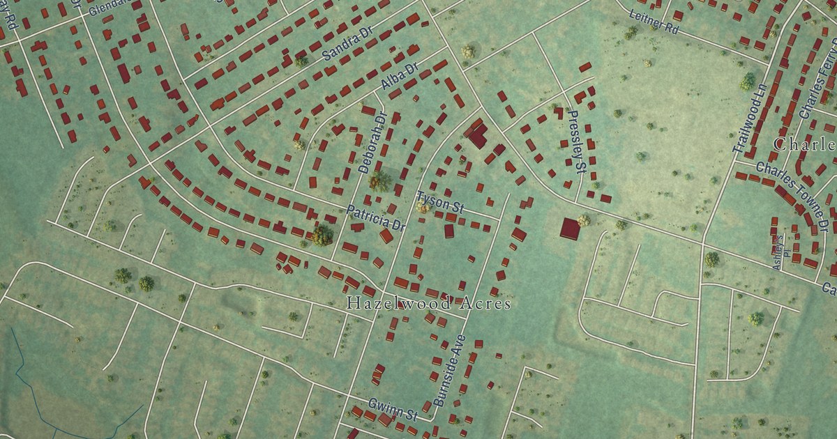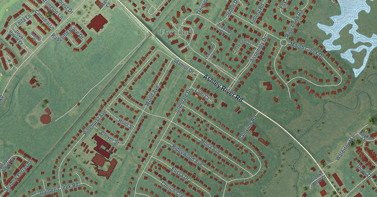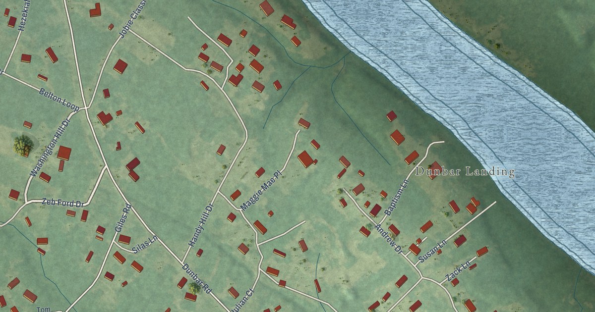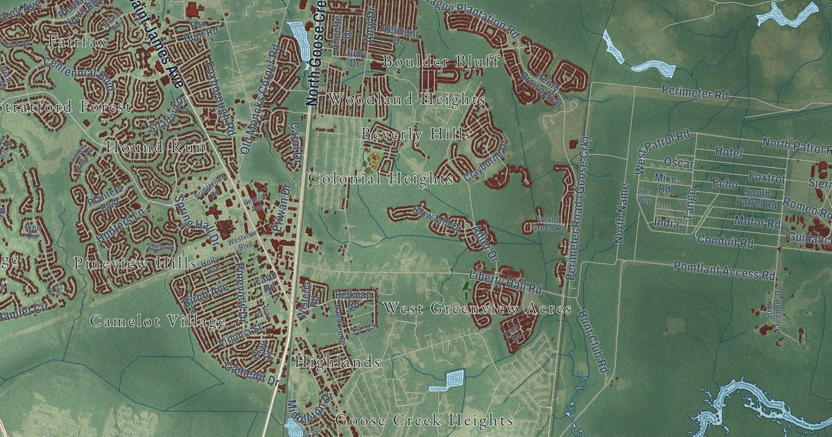
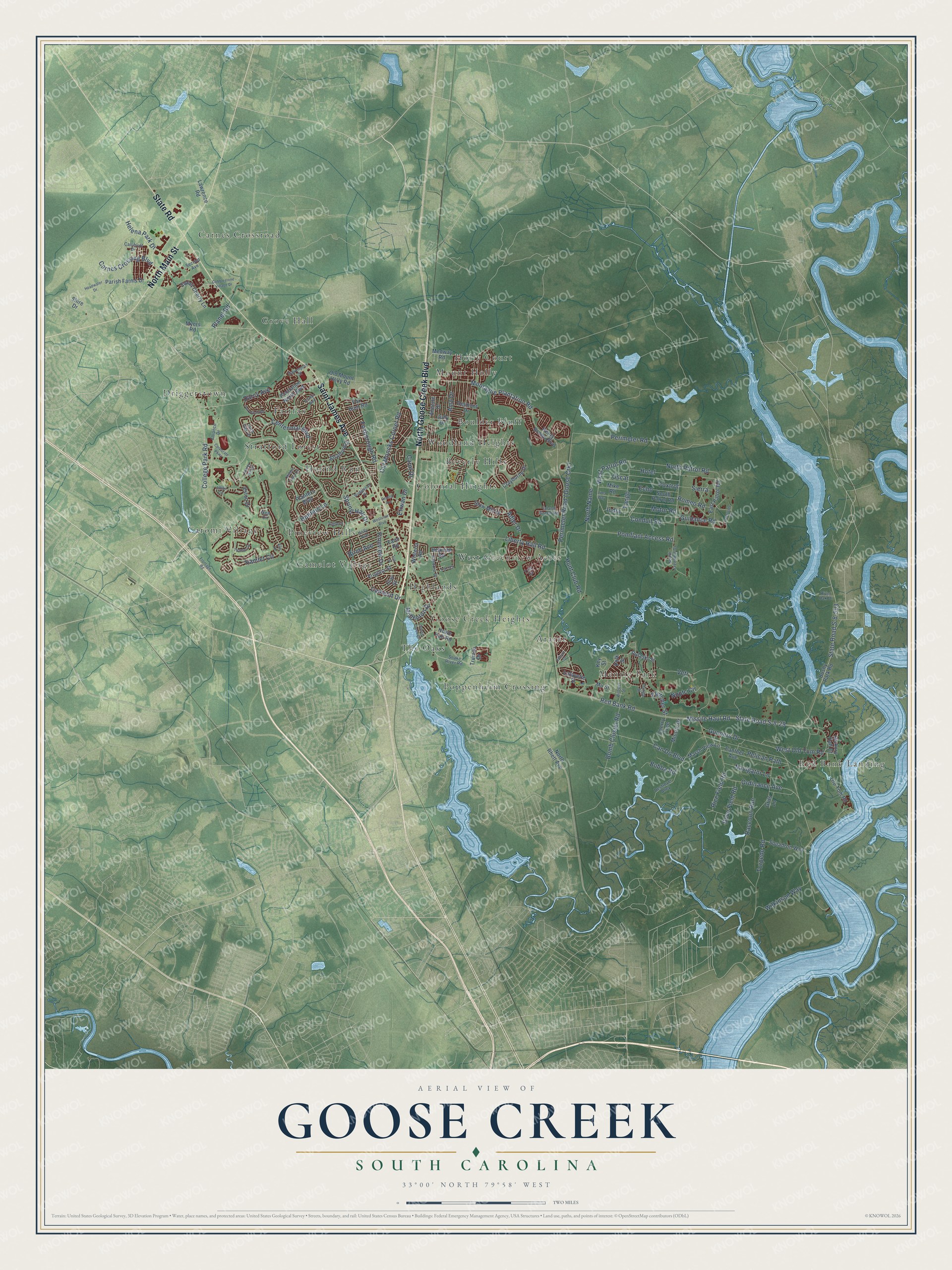
This beautifully detailed map of Goose Creek, South Carolina was created in 2026 using aerial imagery combined with modern topographical, census, street and landmark data. It’s a one-of-a-kind view of Goose Creek that combines accurate data with a vintage aesthetic. The map shows every building in its true location, many of the roads carry their names, and the shaded topographic relief shows the shape of the land.
Explore an aerial view of Goose Creek, South Carolina
On the map you’ll find Ararat, Beverly Hills, Boulder Bluff, Camelot Village, Carnes Crossroad, Caromi Village, Colonial Heights, Driggerstown, Fairfax, Goose Creek Heights, Grove Hall, Highlands, and more. If you look closely you can even find your house accurately drawn in its correct location. Zoom in on the preview to look for yours.
Did you know this piece of Goose Creek, South Carolina history?
From Scencyclopedia.org: "In 1961 a part of the old Goose Creek area was incorporated into a new town with the same name."
Take a closer look at the Goose Creek map
Street and place names on the Goose Creek, South Carolina map
These names are printed on the map of Goose Creek, South Carolina.
Places: Ararat, Beverly Hills, Boulder Bluff, Camelot Village, Carnes Crossroad, Caromi Village, Colonial Heights, Driggerstown, Fairfax, Goose Creek Heights, Grove Hall, Highlands, Holly Court, Hound Run, Menriv Park, Mount Holly, Pineview Hills, Poppenheim Crossing, Red Bank Landing, Stratford Forest, The Oaks, West Greenview Acres and Woodland Heights.
Streets and roads: Saint James Avenue, North Goose Creek Boulevard, North Main Street, State Road, North Name, State Road S-8-29, College Park Road, Guidance Road, Red Bank Road, Hamlet Circle, Missile Haul Road, Pomflant Access Road.
More street names, A to Z
Adler Drive, Alliance Drive, Amy Drive, Annette Drive, Ashley Hill Drive, Belknap Road, Birch Avenue, Bomb Cluster Road, Bridgetown Road, Bubba Road, Bugle Drive, Bushy Park Road, Callibluff Drive, Camelot Drive, Can Do Boulevard, Carnes Crossing Boulevard, Carol Drive, Centennial Boulevard, Central Avenue, Cherry Tree, Clayburne Drive, Clay Street, Cobblestone Village Drive, Conduit Road, Corporate Parkway, Darcy Avenue, Davenport Street, Delmont Drive, Destroyer Alley, Dove Field Road, East Patrol Road, Echo, Edison Street, Elm Drive, Eston Drive, Etiwan Drive, Fairfax Boulevard, Farm Road, Fletcher Street, Foxborough Road, Fox Hunt Road, Foxtrot, Frontage Road, Goose Creek Drive, Grits Lane, Gunners Drive, Headwater Drive, Helena Park Drive, Henry Brown Boulevard, Hickory Hall Court, Hidden Fawn Circle, Holly Avenue, Hotel, Howe Hall Road, Hunt Club Road, Hunters Lane, Iken Circle, India, Interstate Road, Irish Oak Drive, Iris Street, Island Green Road, Jillian Circle, Judy Drive, Key Street, Lafayette Street, Lawrence Road, Liberty Hall Road, Lima Way, Marsh View Lane, Medway Road, Middleton Drive, Mike Road, Missile Drive, Montague Plantation Road, Motor Road, Mu Street, Myers Road, Navigator Lane, Nnptc Circle, North Patrol Road, North Rhett Avenue, Old Moncks Corner Road, Old Mount Holly Road, Old Tom Road, Ordinance Avenue, Oscar, Pandora Drive, Panther Avenue, Parish Farms Drive, Pelican Path, Perimeter Road, Pineview Drive, Planet Road, Plantation North Boulevard, Planters Boulevard, Polk Street, Pulaski Street, Raccoon Run, Rice Field Road, River Oak Drive, Romeo Road, S-8-329, Second Avenue, Shire Drive, Sierra, Slow Mill Drive, Snake River Road, South Freedom Drive, South Patrol Road, Spring Hall Drive, Squadron Way, State Road S-8-503, Stratford Drive, Sweet Cherry Lane, Tango, Thames Drive, Torpedo Road, Tringa Street, Troy Drive, Truman Drive, Two Hitch Road, Vetr, Virginia Street, Webster Street, West Old Tom Road, West Patrol Road, Westview Boulevard, Wilkinson Way, Wisteria Road.
See the Goose Creek, South Carolina map on a wall
The Goose Creek map as an 18 x 24 inch print in a black frame.

This beautifully detailed map of Goose Creek makes an attractive addition to your office, library, or den, and it can even be used to teach children the geography and history of the area. It also makes a great gift for anyone who grew up in Goose Creek or moved away. When you’re done exploring, click here to get your copy of the Goose Creek map.