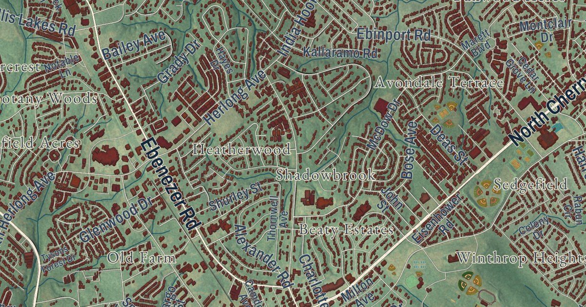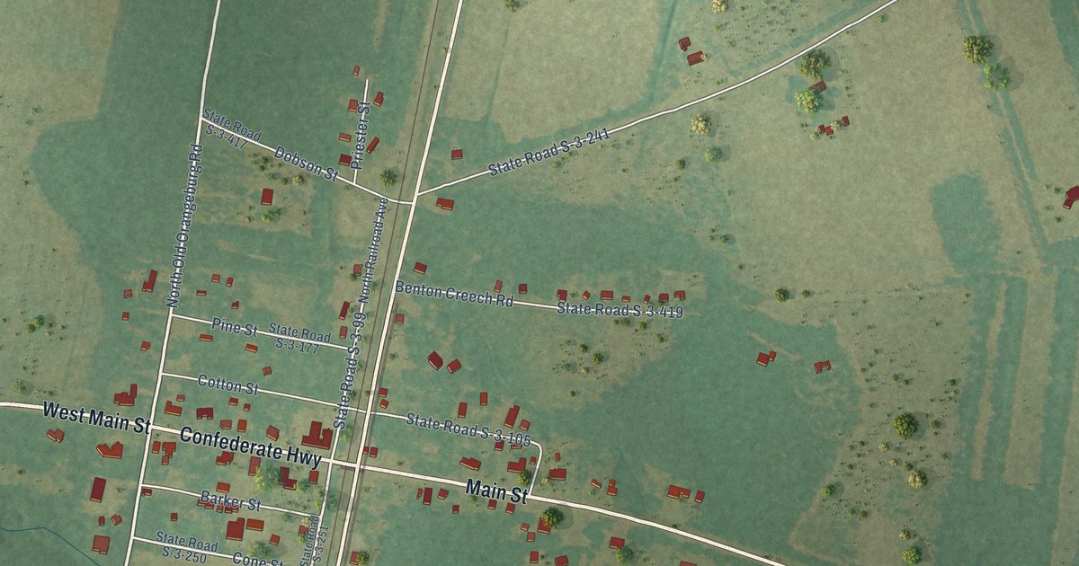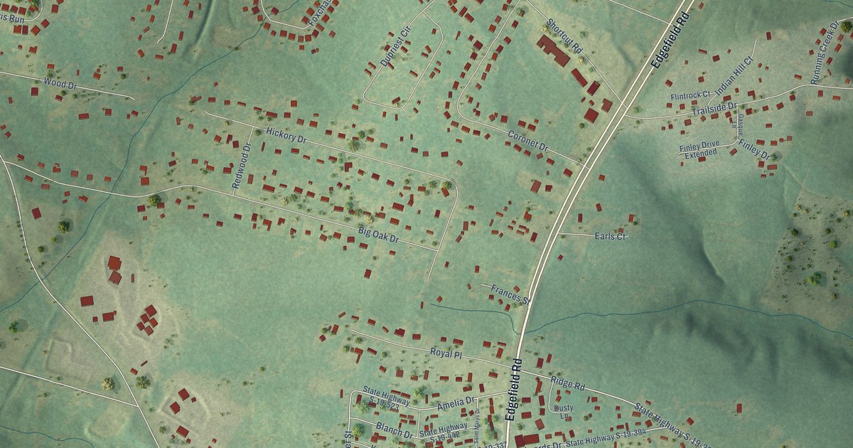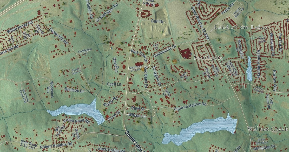
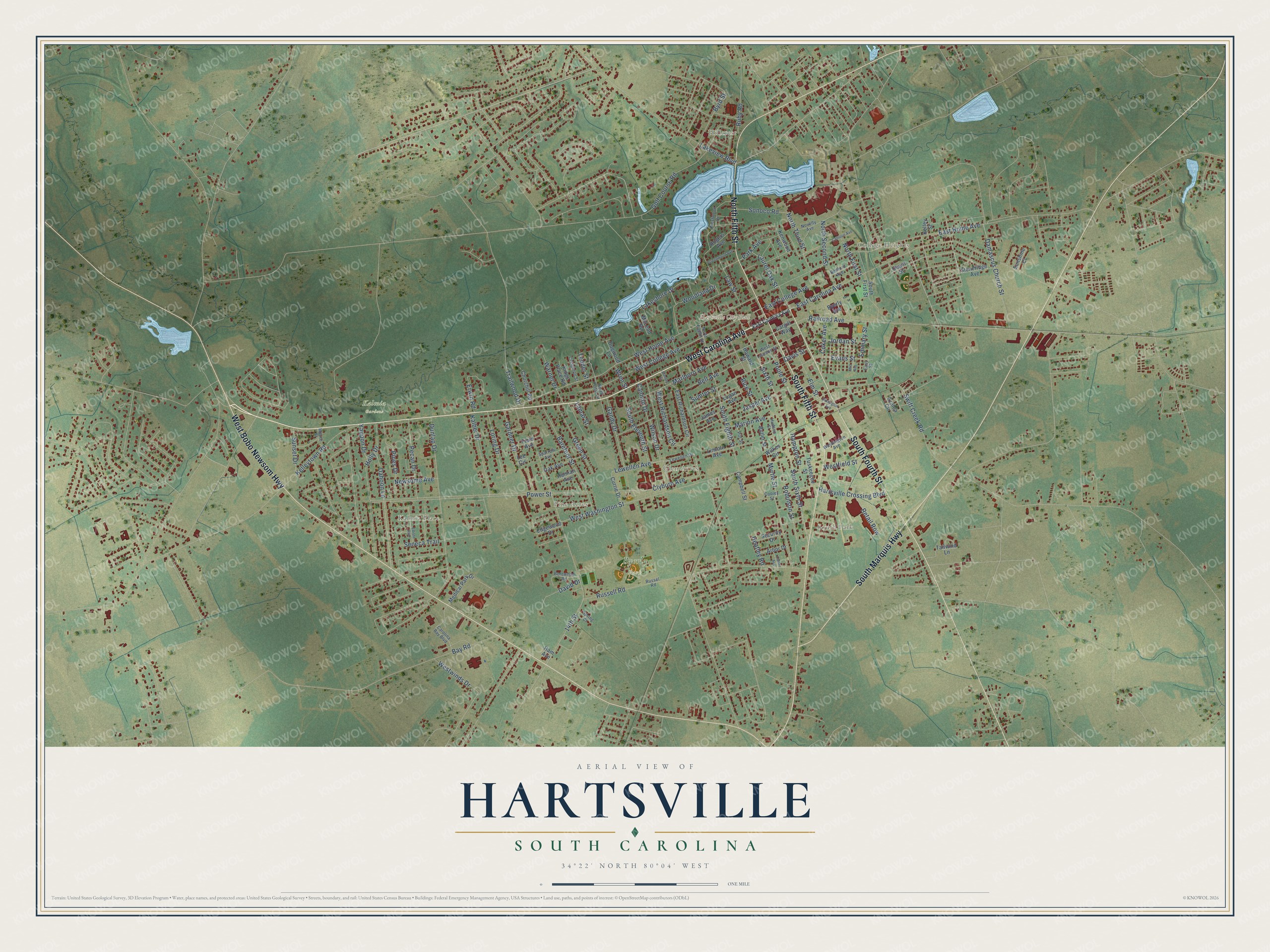
This beautifully detailed map of Hartsville, South Carolina was created in 2026 using aerial imagery combined with modern topographical, census, street and landmark data. It’s a one-of-a-kind view of Hartsville that combines accurate data with a vintage aesthetic. The map shows every building in its true location, many of the roads carry their names, and the shaded topographic relief shows the shape of the land.
Explore an aerial view of Hartsville, South Carolina
On the map you’ll find Hartsville City Hall, Byerly Park, Kalmia Gardens, College Heights, Glen Acres, Hillcrest, Kalmia Place, Pine Acres, and West Hartsville, along with West Carolina Avenue, South Marquis Highway, South Fourth Street, and more. If you look closely you can even find your house accurately drawn in its correct location. Zoom in on the preview to look for yours.
Did you know this piece of Hartsville, South Carolina history?
From Scencyclopedia.org: "The railroad and Coker’s business acumen transformed Hartsville from a quiet farming village into a bustling town, which the General Assembly incorporated in 1891."
Take a closer look at the Hartsville map
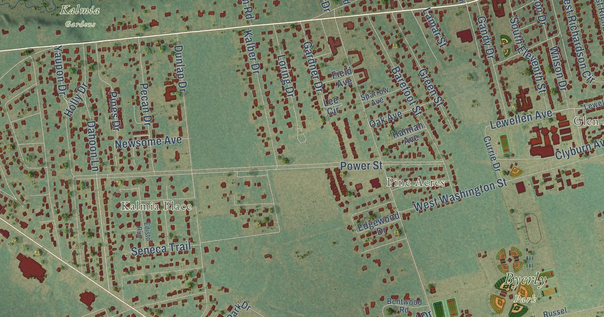
Street and place names on the Hartsville, South Carolina map
These names are printed on the map of Hartsville, South Carolina.
Places: Hartsville City Hall, Byerly Park, Kalmia Gardens, Hillcrest, South Park, College Heights, Kalmia Place, Glen Acres and Pine Acres.
Streets and roads: West Carolina Avenue, South Fourth Street, South Fifth Street, North Fifth Street, West Bobo Newsom Highway, South Marquis Highway, Lewellen Avenue, 14th Street, East Home Avenue, West Home Avenue, Power Street, West Washington Street.
More street names, A to Z
Arbor Drive, Armory Street, Azalea Circle, Barefoot Street, Bay Road, Bedford Avenue, Bell Avenue, Bentwood Road, Butler Street, Byerly Avenue, Byrd Street, Calhoun Avenue, Campbell Street, Cannon Drive, Cargill Way, Carolina Bay Boulevard, Carter Avenue, Churchill Road, Clyburn Avenue, Coker Avenue, Cooley Street, Creighton Street, Currie Drive, Dahoon Lane, Damascus Church Street, Darlington Avenue, David Drive, Davis Street, Depot Street, Dogwood Lane, Dunlap Drive, East Carolina Avenue, East College Avenue, East Richardson Circle, Easy Street, Edgewood Drive, Edisto Run, Elm Street, Emmary Street, Erwin Road, Evans Street, Field Avenue, Gandy Drive, Gardner Drive, Golf Course Road, Green Street, Greenwood Avenue, Ham Avenue, Hampton Street, Hannah Avenue, Hartsville Crossing Boulevard, Heatley Road, Holly Drive, Howard Street, Hudson Street, James Avenue, Jasper Avenue, Jordan Street, Kalber Drive, Kelley Street, Kelleytown Road, Kenwood Avenue, Kings Place Road, Lakeshore Drive, Lakeview Boulevard, Lamar Street, Laurel Oak Street, Law Street, Lee Circle, Lewellen Drive, Lincoln Avenue, Logan Avenue, Loring Drive, Marion Avenue, Marlboro Avenue, McLeod Road, Medical Park Drive, Mill Avenue, Moore Street, Myrtle Street, Newsome Avenue, North Cedar Lane, North Eighth Street, North First Street, North Second Street, North Third Street, Novelty Avenue, Oak Avenue, Park Avenue, Pecan Drive, Pines Drive, Pitt Street, Poole Street, Prestwood Drive, Railroad Avenue, Retail Row, Rice Street, Robinson Street, Rogers Avenue, Ruby Road, Russell Road, Russel Road, Security Drive, Seneca Trail, Sixth Street, Sonoco Road, South Eighth Street, South Eleventh Street, South First Street, South Sixth Street, Sparrow Avenue, Spring Court, Stoneridge Avenue, Sumter Street, Sunset Drive, Sunshine Court, Swift Creek Road, Tailwind Lane, Tedder Street, Trailwood Drive, Tuskeegee Street, Warner Drive, Washington Avenue, West College Avenue, Westfield Street, West Laurens Street, West Richardson Circle, Westwinds Drive, Wilkes Circle, Wilson Drive, Woodland Drive, Wren Street, Yaupon Drive.
See the Hartsville, South Carolina map on a wall
The Hartsville map as an 18 x 24 inch print in a black frame.

This beautifully detailed map of Hartsville makes an attractive addition to your office, library, or den, and it can even be used to teach children the geography and history of the area. It also makes a great gift for anyone with Hartsville roots. When you’re done exploring, click here to get your copy of the Hartsville map.