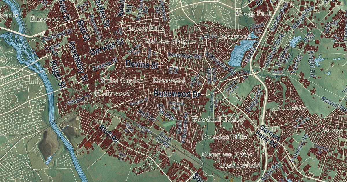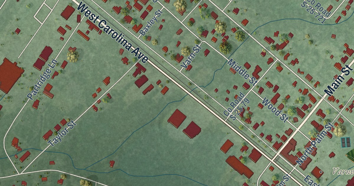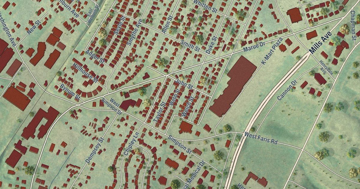
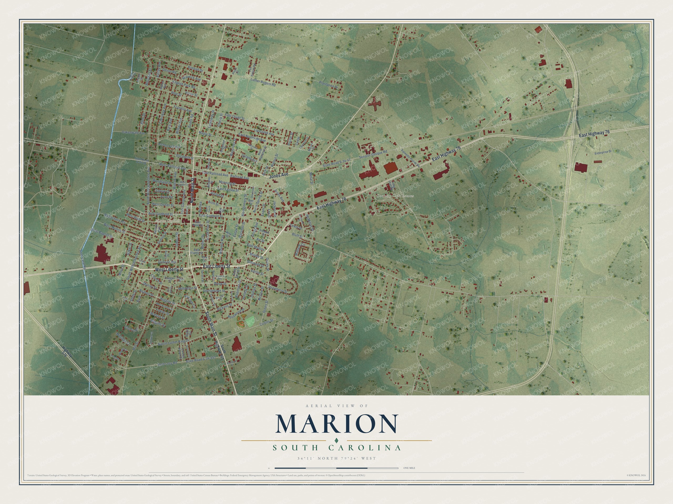
This beautifully detailed map of Marion, South Carolina was created in 2026 using aerial imagery combined with modern topographical, census, street and landmark data. It’s a one-of-a-kind view of Marion that combines accurate data with a vintage aesthetic. The map shows every building in its true location, many of the roads carry their names, and the shaded topographic relief shows the shape of the land.
Explore an aerial view of Marion, South Carolina
On the map you’ll find Marion City Hall and Country Club Estates, along with Jones Avenue, South Main Street, North Main Street, East Liberty Street, West Liberty Street, East Highway 76, Railroad Avenue, West Railroad Avenue, East Railroad Avenue, Green Street, and more. If you look closely you can even find your house accurately drawn in its correct location. Zoom in on the preview to look for yours.
Did you know this piece of Marion, South Carolina history?
From Scencyclopedia.org: "Larger homes and churches were built, the Masonic Lodge was erected in 1823, a weekly newspaper was established in 1846, and the Wilmington and Manchester Railroad arrived in 1854."
Take a closer look at the Marion map
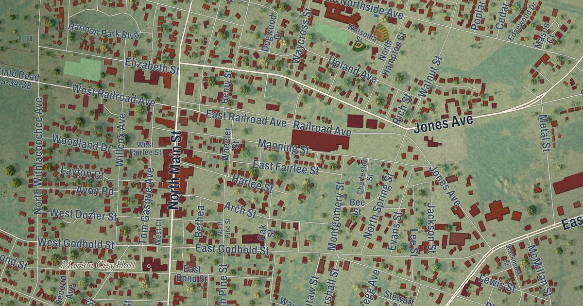
Street and place names on the Marion, South Carolina map
These names are printed on the map of Marion, South Carolina.
Places: Marion City Hall and Country Club Estates.
Streets and roads: South Main Street, Jones Avenue, North Main Street, East Liberty Street, West Liberty Street, East Highway 76, Railroad Avenue, West Railroad Avenue, East Railroad Avenue, Green Street, Strawberry Street, West Godbold Street.
More street names, A to Z
Allen Drive, Arch Street, Art Street, Ashley Avenue, Avon Road, Baker Street, Bee Street, Bethea, Bethea Street, Beverly Street, Blake Circle, Blue Street, Bluff Street, Bryant Street, Byrd, Cartrell Brown Drive, Cedar, Charleston Street, Cherokee Avenue, Cherry Street, Church Street, Coleman Court, Collins Street, Coming Street, Cooper Street, Devon Road, Dickson Heights, Dixon Street, Dogwood Drive, Dunlop Street, East Baptist Street, East Bond Street, East Fairlee Street, East Godbold Street, East Mullins, East Northside Avenue, East Oliver Street, Edgewood Drive, Elizabeth Street, English Park Road, Enterprise Drive, Ernest Drive, Euclid Street, Eutaw Street, Evans Road, Evans Street, Fladger Street, Flagler Street, Floyd Street, Fowler Street, Fox Hollow Road, Foxworth Alley, Franklin Avenue, Georgetown Street, Gibson Street, Gilchrist Road, Gregg Avenue, Gurley Street, Harlee Street, Harmon Park Boulevard, Henry Street, Herb Levy Road, Highway 576, Holiday Street, Huggins Street, Jackson Street, Kimball Drive, Layton Court, Lee Street, Leitner Court, Lewis Street, Lipscomb Avenue, Lombardy Street, Long Leaf Road, Luther Rogers Road, Manning Street, Maple Street, Mark Street, Marshall Street, Martin Luther King Drive, Mason Court, McEachern Heights, McGee Street, McMillan Street, Metal Street, Middle Street, Middleton Street, Miles Street, Millridge Court, Mill Street, Montgomery Street, Murray Street, North Canal Street, North Hampton Street, North Pine Street, North Spring Street, North Withlacoochee Avenue, Oakenwald Avenue, Oak Street, Owens Street, Palmetto Pointe Road, Park Avenue, Pearl Street, Pee Dee Circle, Phillips Street, Pickens Street, Plantation Drive, Plaza Court, Poplar Street, Reaves Street, Rich Street, Robinson Street, Rosewood Drive, Saint John Court, Second Avenue, Senator Gasque Road, Sharon Avenue, Silvertrace Court, Simmons Street, Smith Street, South Canal Road, South Highway 501, South Pine Street, South Spring Street, South Withlacoochee Avenue, Southwood Drive, Spruce Street, Stackhouse Street, State Road S-34-38, State Road S-34-41, State Road S-34-557, Stewart Street, Tom Gasque Avenue, Upland Avenue, Victor Street, Wallace Circle, Wall Street, Walnut Street, Warwick Avenue, Watsonia Street, Watson Street, Waverly Way, Waycross Street, Way Street, West Baptist Street, West Bond Street, West Court, West Dozier Street, West Fairlee Street, West Mullins Street, West Pickens Street, Wheat Court, Wheeler Street, Whitehall Street, Wiggins Street, Wilcox Avenue, Willcox Avenue, Woodland Drive.
See the Marion, South Carolina map on a wall
The Marion map as an 18 x 24 inch print in a black frame.

This beautifully detailed map of Marion makes an attractive addition to your office, library, or den, and it can even be used to teach children the geography and history of the area. It also makes a great gift for anyone who grew up in Marion or moved away. When you’re done exploring, click here to get your copy of the Marion map.