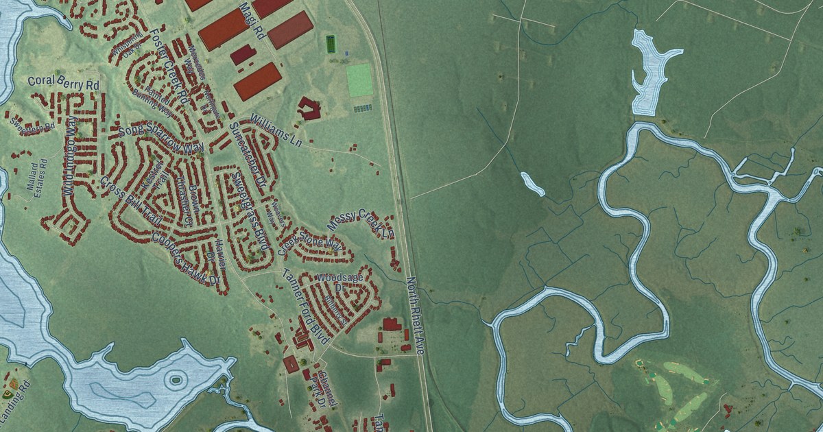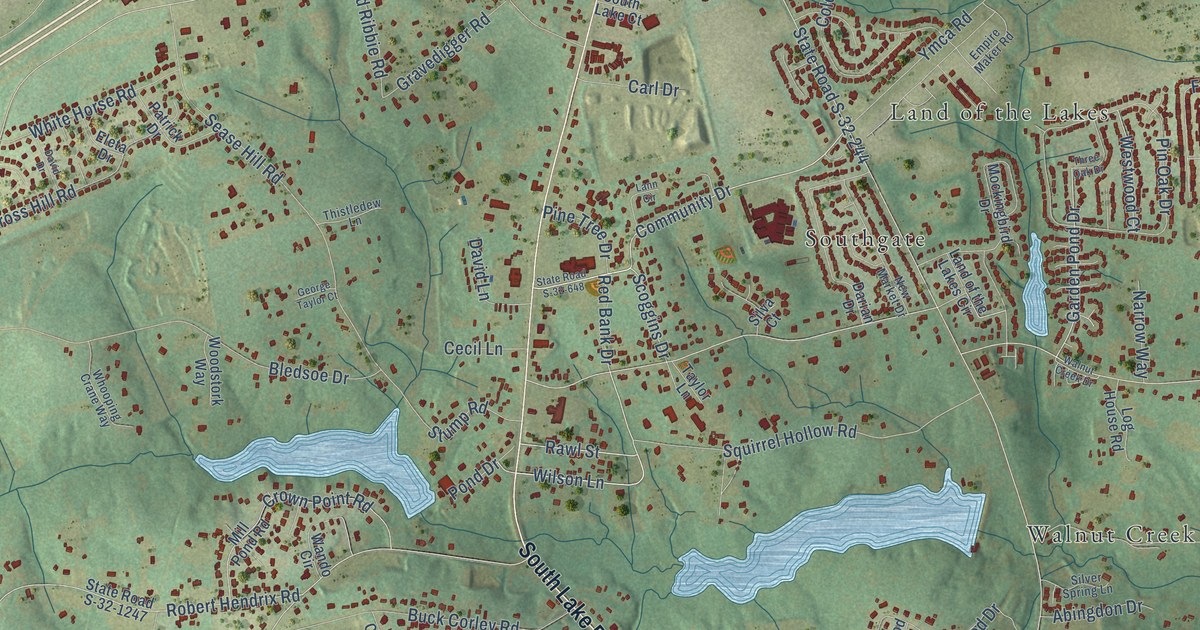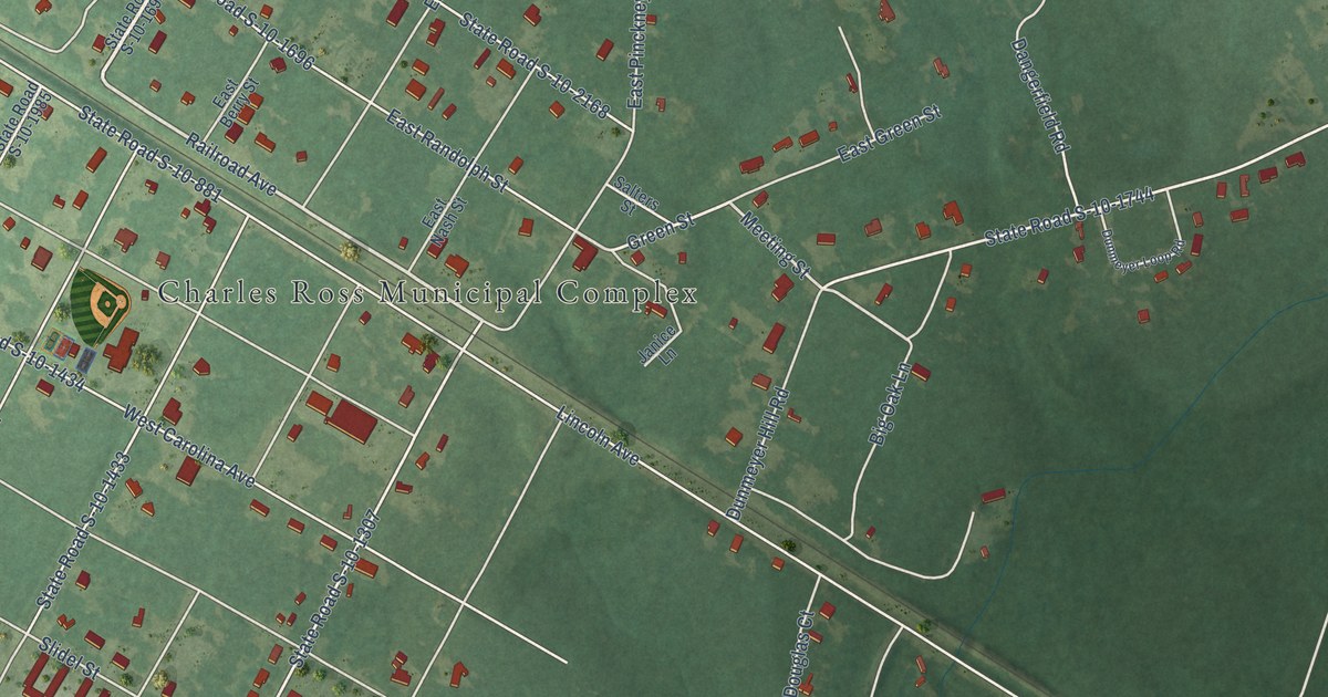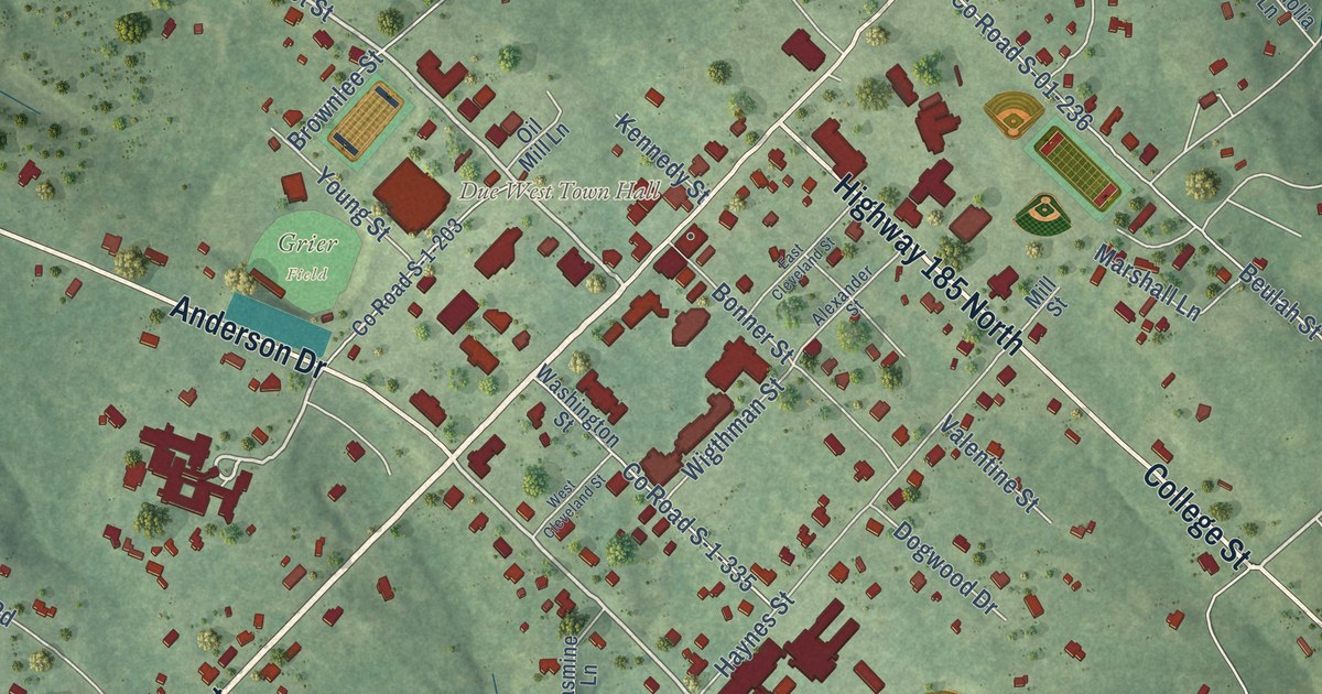
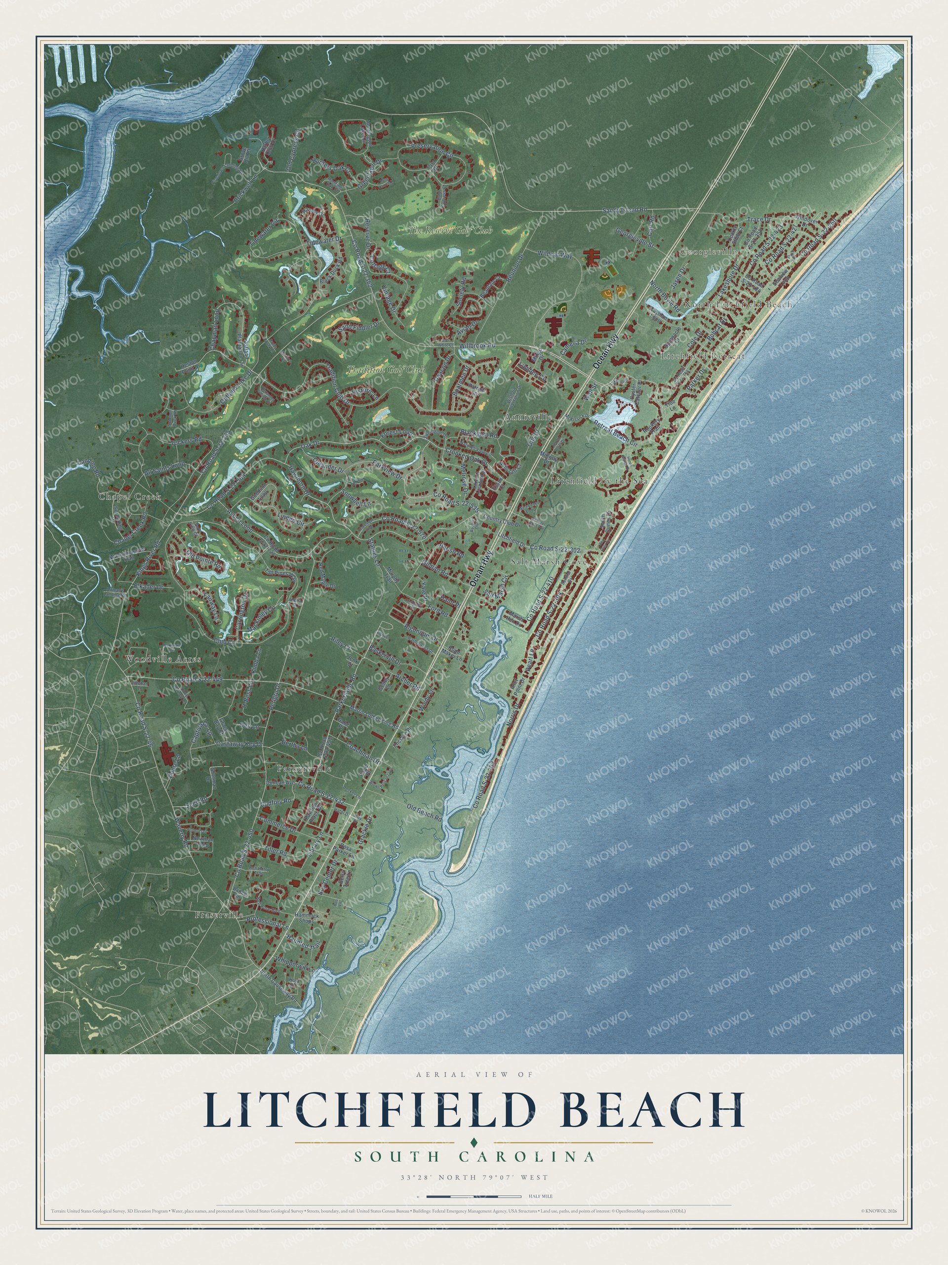
This beautifully detailed map of Litchfield Beach, South Carolina was created in 2026 using aerial imagery combined with modern topographical, census, street and landmark data. It’s a one-of-a-kind view of Litchfield Beach that combines accurate data with a vintage aesthetic. The map shows every building in its true location, many of the roads carry their names, and the shaded topographic relief shows the shape of the land.
Explore an aerial view of Litchfield Beach, South Carolina
On the map you’ll find North Litchfield Beach, Georgieville, Litchfield Retreat, Annieville, Chapel Creek, Fraserville, Litchfield by the Sea, Parkersville, Salt Marsh Cove, Woodville Acres, The Reserve Golf Club, Tradition Golf Club, and more. If you look closely you can even find your house accurately drawn in its correct location. Zoom in on the preview to look for yours.
Did you know this piece of Litchfield Beach, South Carolina history?
From the South Carolina Picture Project: "Lovely Litchfield Beach is located just north of Pawleys Island. The area was settled in the early 1700s and its name comes from Litchfield Plantation, a former rice plantation in the community."
Take a closer look at the Litchfield Beach map
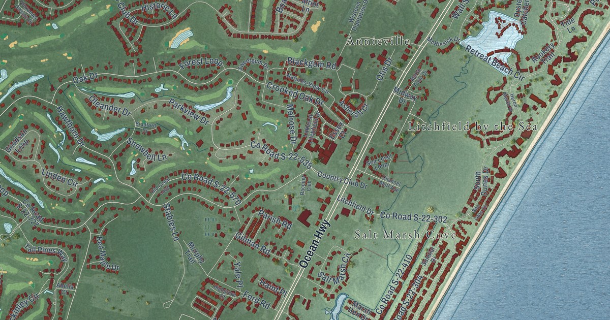
Street and place names on the Litchfield Beach, South Carolina map
These names are printed on the map of Litchfield Beach, South Carolina.
Places: North Litchfield Beach, Georgieville, Litchfield Retreat, Annieville, Chapel Creek, Fraserville, Litchfield by the Sea, Parkersville, Salt Marsh Cove, Woodville Acres, The Reserve Golf Club and Tradition Golf Club.
Streets and roads: Ocean Highway, County Road S-22-362, Willbrook Road, Retreat Beach Circle, Parkersville Road, Club Circle, County Road S-22-255, Kings River Road, County Road S-22-46, Waverly Road, County Road S-22-569, Hawthorn Drive.
More street names, A to Z
Abelia Court, Alexander Glennie Drive, Algonquin Drive, All Saints Loop, Altman's Landing Road, Annie Rainey Lane, Archer Road, Ashcraft Court, Aspen Loop, Avian Drive, Bald Cypress Court, Baskervill Drive, Beaufain Court, Ben Horry Trail, Berry Tree Lane, Bertha Lane, Black Duck Road, Blackgum Road, Boatmen Drive, Bobcat Drive, Bob White Court, Boo Lane, Bradford Court, Brickwell Lane, Brown Pelican Loop, Bus Center Drive, Camelia Drive, Captiva Cv Lp, Carrington Drive, Carr Road, Castaway Key Drive, Cayman Loop, Channel Bluff Avenue, Chapel Creek Road, Chapman Loop, Coachman Drive, Cockle Shell Court, Cole Drive, Commerce Drive, Cottage Court, Country Club Drive, County Road S-22-250, County Road S-22-302, County Road S-22-303, County Road S-22-304, County Road S-22-358, County Road S-22-410, County Road S-22-423, County Road S-22-424, County Road S-22-427, County Road S-22-432, County Road S-22-449, County Road S-22-450, County Road S-22-451, County Road S-22-535, County Road S-22-570, County Road S-22-714, County Road S-22-727, Crooked Oak Drive, Deacon Drive, Deb Lane, Decker Lane, Duncan Avenue, Dupre Lane, Elkader Drive, Enclave Place, Essex Court, Exeter Drive, Fairway Lane, Figtree Lane, Fisher Trail, Ford Road, Forest Loop, Gabe Place, Geney Lane, Georgieville Street, Gilman Road, Godfrey Road, Golf View Court, Goodson Loop, Grace Bay Court, Grackle Drive, Greenlawn Drive, Grove Hill Court, H-Bess Lane, Haint Place, Hamby Drive, Hammock Shops, Harbor Club Drive, Harboureef Drive, Haunted Trail, Heron Marsh Drive, Heston Point Drive, Highgrove Court, Historic Lane, Hook Drive, Hotel Drive, Hunters Oak Court, Huntington Lake Circle, Inlet Point Drive, Jasen Drive, Jenk Court, Jetty Drive, Kimba Lane, Lakes at Litchfield Drive, Lakeshore Drive, Lakeside Drive, Lance Lane, Landing Road, Library Lane, Linden Circle, Litchfield Drive, Lumbee Circle, Mackinley Circle, Marsh Hen Drive, Marsh Point Drive, Martin Luther King Road, McKenzie Circle, McKissick Drive, Melrose Drive, Midway Drive, Mingo Drive, Monarch Court, Murphy Trail, Natures View Circle, Newman Loop, Norris Drive, North Boyle Road, North Causeway Road, Oak Drive, Oatland Lake Drive, Oatland Plantation Circle, Old Beach Road, Old Cedar Loop, Old Cypress Circle, Old Pointe Road, Oleander Drive, Otis Drive, Oyster Catcher Place, Page Place, Parish Road, Parker Drive, Parkview Drive, Patriot Lane, Pawleys Place Drive, Pearl Lane, Petigru Drive, Pipedown Landing Drive, Preservation Circle, Professional Lane, Racquet Club, Red Maple Drive, Red Rose Boulevard, Reserve Drive, Reunion Drive, Riley Court, Rookery Trail, Rope Maker Lane, Rosa Parker Lane, Rose Laurel Court, Ruddy Duck Lane, Running Oak Court, Salt Marsh Circle, Sand Fiddler Drive, Sandy Island Road, Sea Level Loop, Sea Oats Circle, Seaview Loop, Shehan Lane, Shell Road, Sherman Drive, Snowbell Lane, Society Road, South Dunes Drive, Spinnacle Court, Spreading Drive, Stables Lane, Summer Duck Lane, Sundial Drive, Sweetgum Drive, Tall Pines Way, Tara Drive, Tide Lane, Tidewater Circle, Tidewater Drive, Tiller Road, Trace Drive, Tradition Club Drive, Tuckers Road, Vintage Drive, Wall Street, Wassamassaw Trail, Whipporwill Lane, Wildcat Way, Windover Drive, Windy Lane, Wisteria Plantation Drive, Yale Place.
See the Litchfield Beach, South Carolina map on a wall
The Litchfield Beach map as an 18 x 24 inch print in a black frame.

This beautifully detailed map of Litchfield Beach makes an attractive addition to your office, library, or den, and it can even be used to teach children the geography and history of the area. It also makes a great gift for anyone with Litchfield Beach roots. When you’re done exploring, click here to get your copy of the Litchfield Beach map.