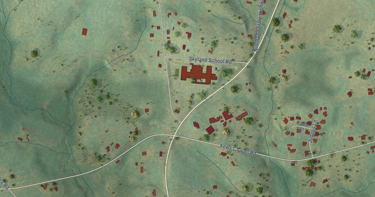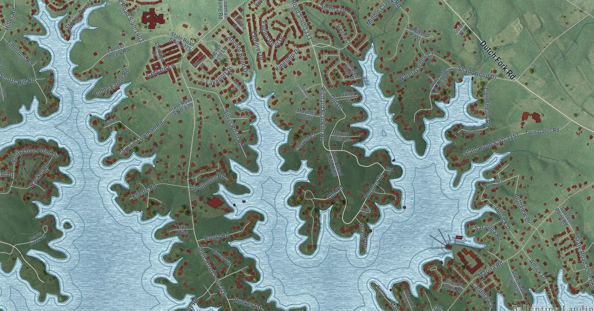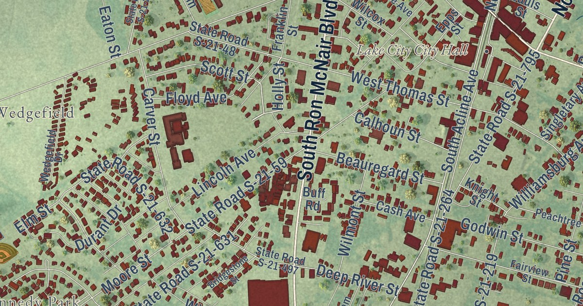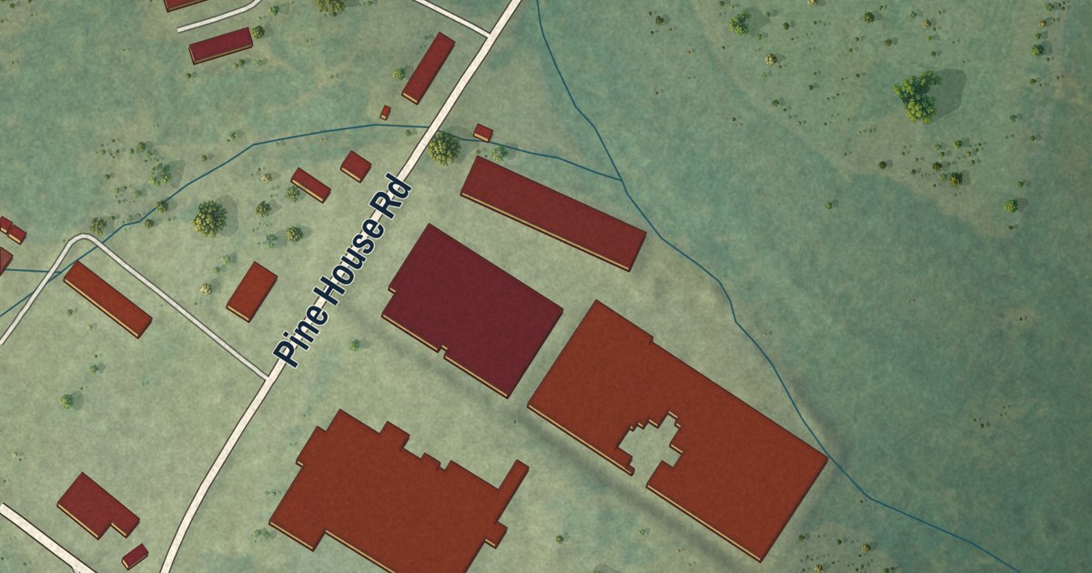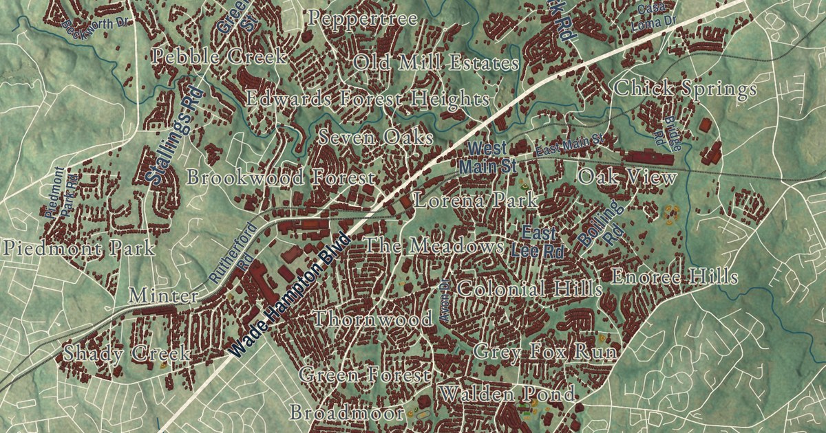
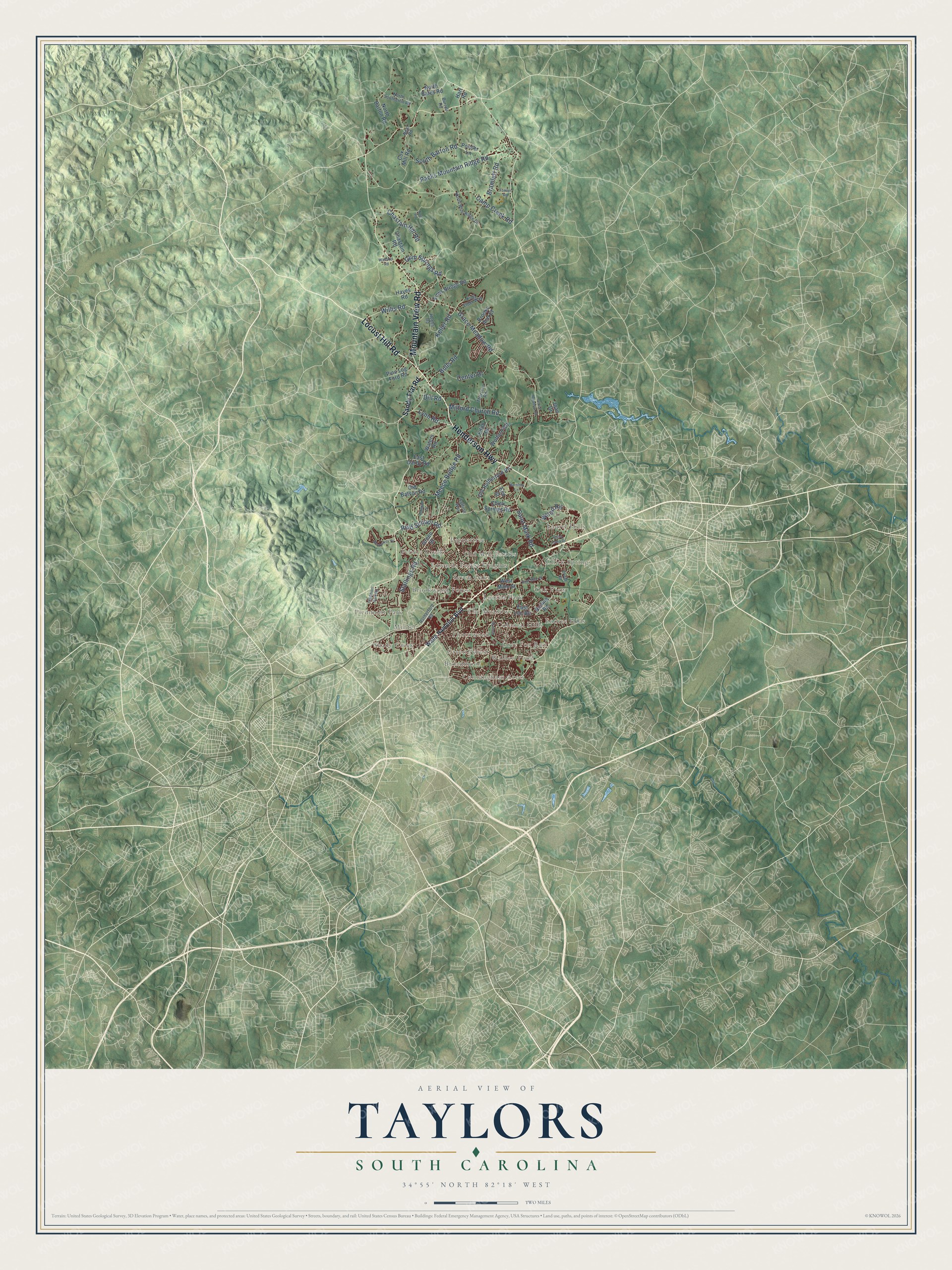
This beautifully detailed map of Taylors, South Carolina was created in 2026 using aerial imagery combined with modern topographical, census, street and landmark data. It’s a one-of-a-kind view of Taylors that combines accurate data with a vintage aesthetic. The map shows every building in its true location, many of the roads carry their names, and the shaded topographic relief shows the shape of the land.
Explore an aerial view of Taylors, South Carolina
On the map you’ll find Bellwood Estates, Broadleaf Acres, Broadmoor, Brookwood Forest, Chick Springs, Colonial Hills, Creekside Villas, Cunningham Acres, Edwards Forest Heights, Enoree Hills, Forestdale Heights, Green Forest, and more. If you look closely you can even find your house accurately drawn in its correct location. Zoom in on the preview to look for yours.
Did you know this piece of Taylors, South Carolina history?
From the Taylors Mill: "A new chapter began in 1922, when construction started on the Southern Bleachery. Designed by J.E. Sirrine & Co., the plant opened in May 1924, offering Southern textile mills a local place to bleach, dye, and finish fabric."
Take a closer look at the Taylors map
Street and place names on the Taylors, South Carolina map
These names are printed on the map of Taylors, South Carolina.
Places: The Meadows, Laurel Hills, Shady Creek, Cunningham Acres, Oak View, Peppertree, Pebble Creek, Chick Springs, Minter, Brookwood Forest, Seven Oaks, Grey Fox Run, Enoree Hills, Colonial Hills, Thornwood, Piedmont Park, Old Mill Estates, Green Forest, Edwards Forest Heights, Walden Pond, Lorena Park and Broadmoor.
Streets and roads: Henderson Highway, Locust Hill Road, Mountain View Road, Camp Creek Road, Grace Meadow Road, Stallings Road, Reid School Road, Packs Mountain Ridge Road, Milford Church Road, South Barton Road, Saint Mark Road, Meece Bridge Road.
More street names, A to Z
Avon Drive, Beckworth Drive, Boiling Road, Bramlett Road, Bridge Road, Brooke Ann Court, Bulls Road, Burrell Road, Casa Loma Drive, Center Drive, Chastain Hill Road, Chastain Road, Chick Springs Road, Cox Mill Road, Dill Road, East Darby Road, East Lee Road, East Main Street, Edith Drive, Elm Street, Fews Bridge Road, Fowler Road, Green Street, Groce Meadow Road, Gum Springs Road, Harnitha Lane, Hart Road, Hayes Road, Hobbs Road, Joan Drive, Keller Road, King Eider Way, Lynn Road, Neal Road, Noe Road, North Barton Road, North Bates Road, North Blue Ridge Drive, North Southerlin Road, Old Batson Road, Old Rutherford Road, Piedmont Park Road, Pine Log Ford Road, Ponder Lane, Randall Drive, Rutherford Road, Saffron Way, Sandy Flat Road, Thurston Road, Wade Hampton Boulevard, Waldrop Road, Waters Road, West Main Street, Willis Road, Wofford Road, Wood Road.
See the Taylors, South Carolina map on a wall
The Taylors map as an 18 x 24 inch print in a black frame.

This beautifully detailed map of Taylors makes an attractive addition to your office, library, or den, and it can even be used to teach children the geography and history of the area. It also makes a great gift for someone who left Taylors and still calls it home. When you’re done exploring, click here to get your copy of the Taylors map.