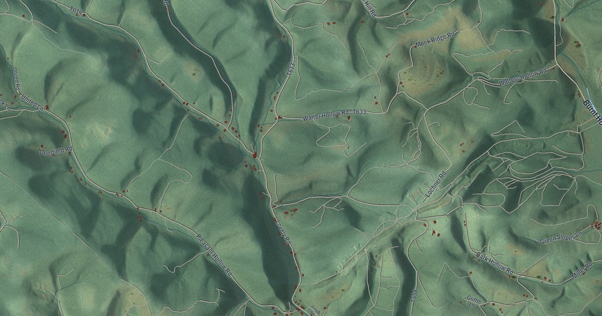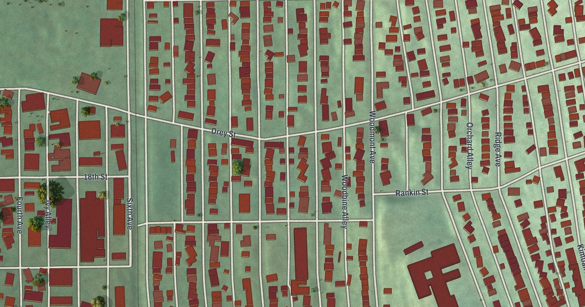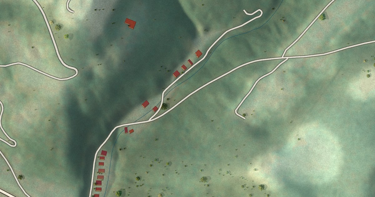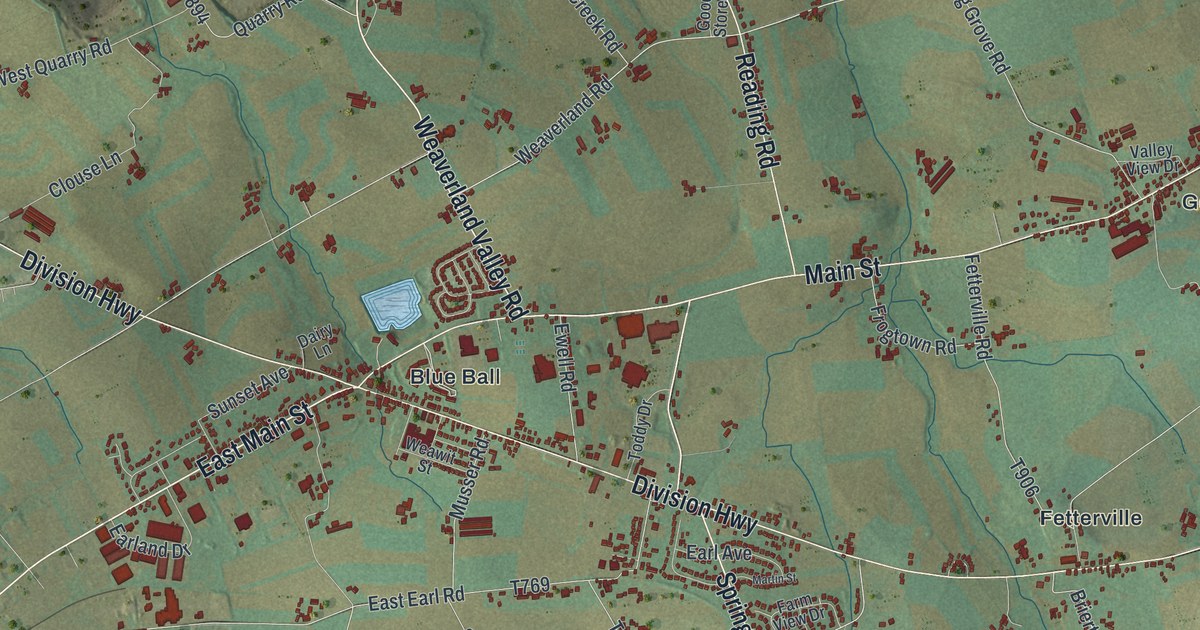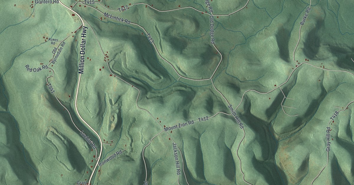
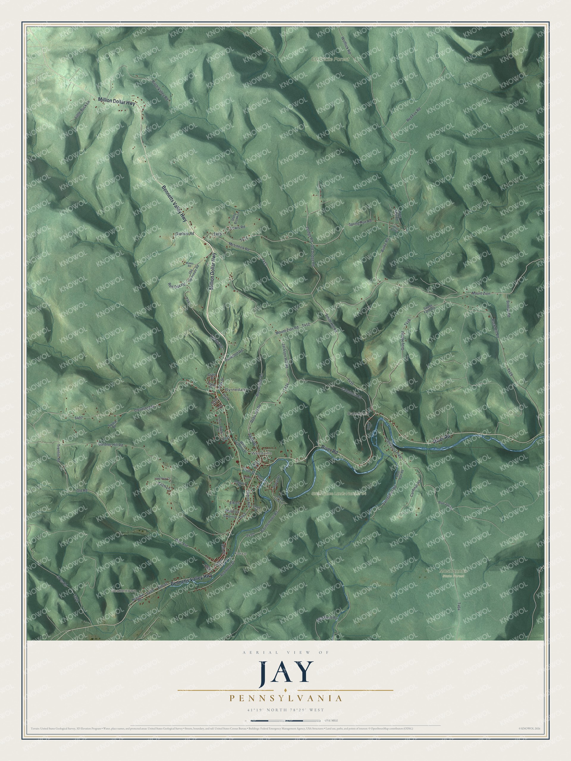
This beautifully detailed map of Jay, Pennsylvania was created in 2026 using aerial imagery combined with modern topographical, census, street and landmark data. It's a modern aerial view of Jay in Elk County, Pennsylvania, that combines modern data with a vintage aesthetic. The roads feature printed names, and if you look closely you can find your exact house accurately shown in its correct location.
Explore an aerial view of Jay, Pennsylvania
On this map you'll find Scattertown, Force, Weedville, Elk State Forest, Moshannon State Forest, State Game Lands Number 34, Byrnedale, Caledonia, Million Dollar Highway, Bennetts Valley Highway, River Road, Gray Hill Road, and more. Each red shape is a building, so zoom in on the preview and look for yours.
Jay has a story worth telling. The Internet Archive puts it this way: "JUSTUS WEED, postmaster, Weedville, was born at what is now Weedville, Jay township, Elk Co., Penn., December 18, 1831, a son of A. B. and Charlotte (Mead) Weed, natives of New York State, who came to Elk county, Penn., in 1818."
Jay is a place in Elk County. The Census Bureau counted 1,963 people here in 2020.
Take a closer look at the Jay map
Names on this map
These names are printed on this map.
Places: Scattertown, Force, Weedville, Elk State Forest, Moshannon State Forest, State Game Lands Number 34, Byrnedale and Caledonia.
Streets and roads: Million Dollar Highway, Bennetts Valley Highway, River Road, Gray Hill Road, Spring Run Road, Burke Road, Mount Zion Road, Rock Hill Road, Trentini Road, Apple Street, Redwood Street, Baumertown Road.
More street names, A to Z
5 Pts Road, Ash Street, Bear Run Road, Birch Street, Birch Valley Road, Blackwell Road, Blue Jay Road, Bobcat Road, Caledonia Pike, Caledonia Road, Cardinal Road, Carpin Lane, Cherry Avenue, Cherry Street, Cleveland Street, Crab Tree Lane, Dodge Road, Dogwood Road, Elk Lane, Elm Street, Erich Lane, Erin Way, Gardner Hill Road, Gontero Road, Grant Street, Gumby Lane, Hemlock Avenue, Hickory Street, Huckleberry Street, Ironwood Road, Jackson Hill Road, Kunes Road, Laurel Run Road, Lewis Road, Little Buck Lane, Long View Court, Luchini Road, McLintick Road, Melio Lane, Mount Zion, Newtown Road, Old Byrnedale Road, Old Dodge Road, Old Road, Owls Nest Road, Peach Street, Pine Avenue, Plum Street, Polk Street, Poplar Road, Rebo Hill Road, Red Fox Road, Red Oak Road, Smith Hill Road, Stony Brook Lane, Swack Road, Swede Farm Road, Taylor Street, West Teaberry Street, White Oak Road, Wolflick Road.
Created by KNOWOL in 2026. The buildings are small red shapes, the roads carry their printed names, and shaded relief shows the shape of the land. The title panel reads "AERIAL VIEW OF JAY PENNSYLVANIA" with 4, 1, °, 1, 9, ', , N, O, R, T, H, , 7, 8, °, 2, 9, ', , W, E, S, T.
It looks right in a kitchen, an office or a den, and it's a gift for anyone who grew up in Jay or moved away. Open the preview and find your street. See sizes and frames for the Jay map.