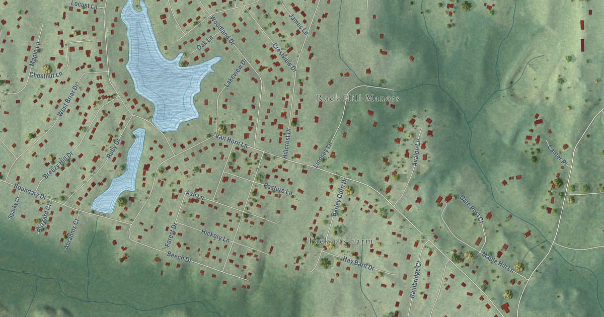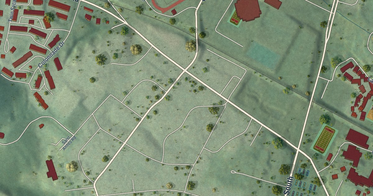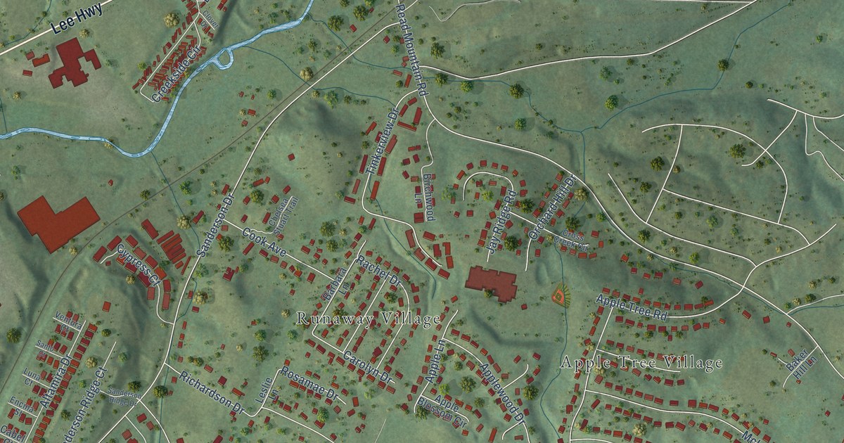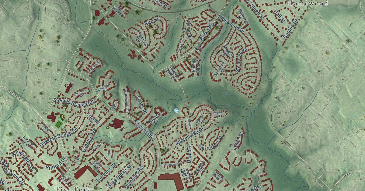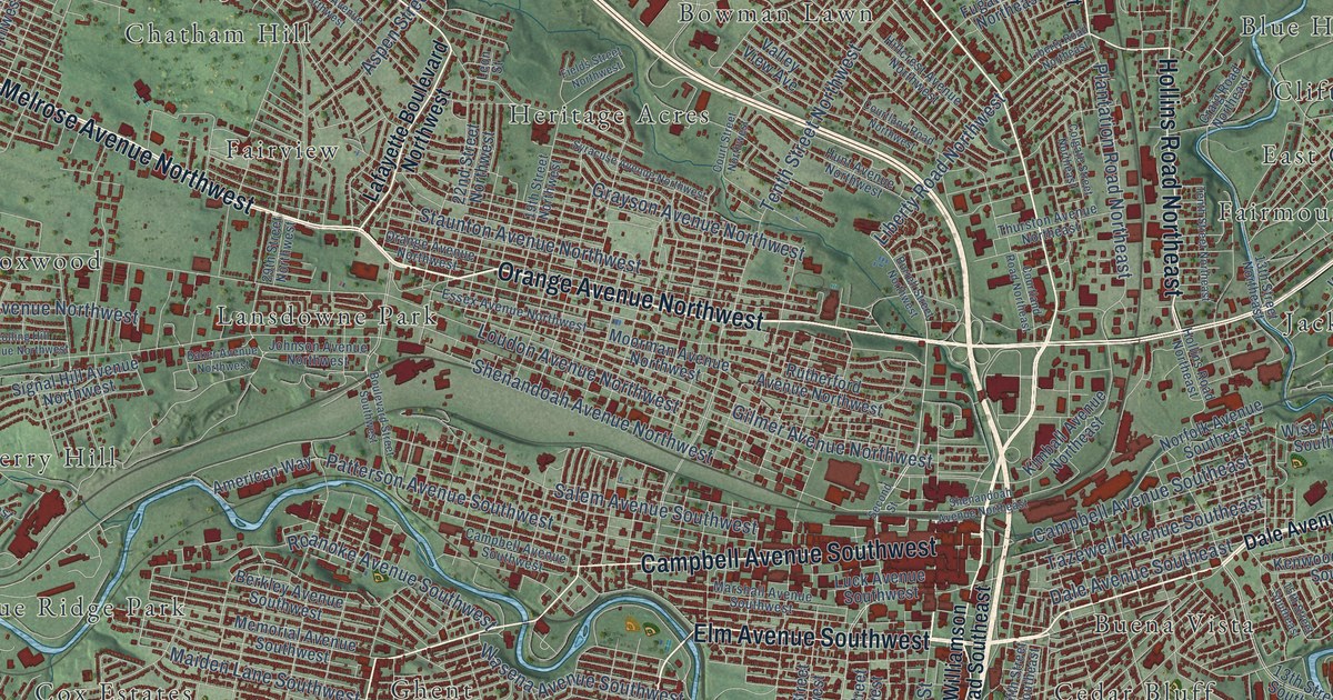
This beautifully detailed map of Roanoke, Virginia was created in 2026 using aerial imagery combined with modern topographical, census, street and landmark data. It’s a one-of-a-kind view of Roanoke that combines accurate data with a vintage aesthetic. The map shows every building in its true location, many of the roads carry their names, and the shaded topographic relief shows the shape of the land.
Explore an aerial view of Roanoke, Virginia
On the map you’ll find Mill Mountain Park, Arrow Wood, Barranger, Beechwood Gardens, Belle Aire, Blue Hills, Blue Ridge Park, and Bluefield Heights, along with Airlee Court, Airview Court, Arrington Court, Bellview Terrace, and more. If you look closely you can even find your house accurately drawn in its correct location. Zoom in on the preview to look for yours.
Did you know this piece of Roanoke, Virginia history?
From Vcris.dhr.virginia.gov: "The Roanoke Life Saving and First Aid Crew, organized in May 1928 by Julian Stanley Wise, is recognized as the first independent, all-volunteer rescue squad in the United States."
Take a closer look at the Roanoke map
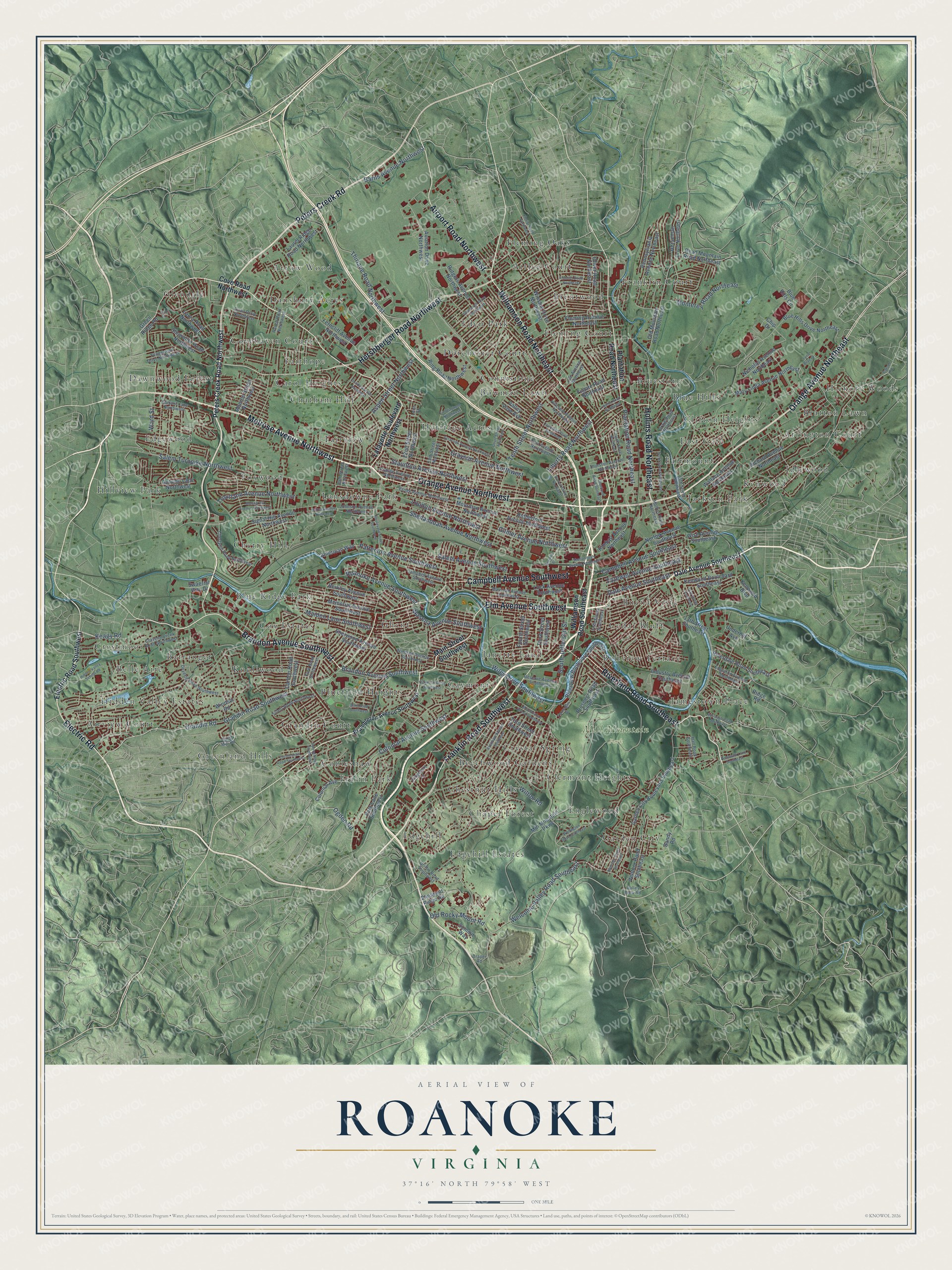
Street and place names on the Roanoke, Virginia map
These names are printed on the map of Roanoke, Virginia.
Places: Mill Mountain Park, Airlee Court, Airview Court, Arrington Court, Arrow Wood, Barranger, Beechwood Gardens, Belle Aire, Bellview Terrace, Blue Hills, Blue Ridge Park, Bluefield Heights, Bluestone, Bowman Lawn, Bratton Lawn, Brentwood, Buena Vista, Carol Heights, Cedar Bluff, Chapel Forest, Chatham Hill, Cherry Hill, Chestnut Hills, Clermont Heights, Clifton Heights, Cobleshaw, Connistone, Covehaven Court, Cox Estates, Crestmoor, Crystal Spring, Dansbury Acres, Dawnwood Forest, Dorchester Court, East Gate, Eden Park, Edgehill, Edgehill Estates, Edgewood, Englewood, Fairhope, Fairmount, Fairview, Fleming Court, Fleming Oaks, Foxwood, Fralin Park, Franklin Court, Garden City, Gaymont, Ghent, Glendale, Grandin Court, Greenland Hills, Heritage Acres, Hickory Woods, Hidden Valley Estates, Hillview Park, Idlewood, Jackson Park, Jamestown Place, Janette Land, Kenwood, Knollwood and Lansdowne Park.
Streets and roads: Melrose Avenue Northwest, Brandon Avenue Southwest, Peters Creek Road, Orange Avenue Northwest, Electric Road, Riverland Road Southeast, Elm Avenue Southwest, Williamson Road Northeast, Franklin Road Southwest, Airport Road Northwest, Campbell Avenue Southwest, Orange Avenue Northeast.
More street names, A to Z
13th Street Northeast, 13th Street Southeast, 15th Street Southeast, 19th Street Northwest, 22nd Street Northwest, 23rd Street Southwest, 29th Street Northwest, American Way, Aspen Street Northwest, Autumn Lane Northwest, Avenham Avenue Southwest, Aviation Drive Northwest, Baker Avenue Northwest, Bandy Road, Barns Avenue Northwest, Berkley Avenue Southwest, Blair Road Southwest, Blue Hills Circle, Blue Hills Drive Northeast, Boulevard Street Southwest, Brambleton Avenue Southwest, Burrell Street Northwest, Campbell Avenue Southeast, Carlton Road Southwest, Carson Road, Cherryhill Road Northwest, Chip Drive, Colgate Street Northeast, Colonial Avenue, Colonial Avenue Southwest, Corbieshaw Road Southwest, Courtland Road Northeast, Courtland Road Northwest, Court Street Northwest, Cove Road Northwest, Craig Road Northeast, Cravens Creek Road Southwest, Dale Avenue Southeast, Deyerle Road Southwest, Draper Road, Edgerton Avenue Southeast, Edinburgh Drive Northwest, Electric Road Southwest, Essex Avenue Northwest, Ferncliff Avenue Northwest, Fields Street Northwest, Fifth Street Southeast, Flannagan Drive, Fleming Avenue Northeast, Florida Avenue Northwest, Florist Road Northwest, Fourth Street Southwest, Frontier Road Northeast, Fugate Road Northeast, Garden City Boulevard Southeast, Garst Mill Road, Gilmer Avenue Northwest, Grandin Road, Grandin Road Southwest, Grayson Avenue Northwest, Green Ridge Road, Griffin Road Southwest, Hall Road Southeast, Hershberger Road Northwest, Hidden Valley School Road, Hillcrest Avenue Northwest, Hollins Road Northeast, Horseman Drive Northeast, Hunt Avenue Northwest, Industry Avenue Southeast, Johnson Avenue Northwest, June Drive, Keagy Road, Kenwood Boulevard, Kenwood Boulevard Southeast, Kimball Avenue Northeast, Kingsbury Lane, Lafayette Boulevard Northwest, Laura Road Northwest, Laurel Ridge Road Northwest, Lee Avenue Northeast, Leon Street, Liberty Road Northeast, Liberty Road Northwest, Loudon Avenue Northwest, Luck Avenue Southwest, Lynn Brae Drive, Maiden Lane Southwest, Main Street Southwest, Marshall Avenue Southwest, Mary Linda Avenue Northeast, McClanahan Street Southwest, Melcher Street Southeast, Memorial Avenue Southwest, Mill Mountain Parkway, Monroe Street Northwest, Monterey Road Northeast, Moorman Avenue Northwest, Nicholas Avenue Northeast, Norfolk Avenue Southeast, Oakwood Drive Southwest, Ogden Road, Old Mountain Road Northeast, Old Rocky Mount Road, Oliver Road Northeast, Park Lane Southwest, Patterson Avenue Southwest, Pennsylvania Avenue Northeast, Peters Creek Road Northwest, Pheasant Ridge Road, Plantation Road Northeast, Prospect Road Southeast, Quail Drive Northwest, Ranch Road Northwest, Read Mountain Road Northeast, Reserve Avenue Southwest, Richard Avenue Northeast, Ridge Road, Ring Road Northwest, Riverdale Road Southeast, Riverview Boulevard Southeast, Roanoke Avenue Southwest, Rolling Hill Avenue Northwest, Rosewalk Lane Southeast, Rutgers Avenue Northwest, Rutherford Avenue Northwest, Rutrough Road Southeast, Salem Avenue Southwest, Salem Turnpike Northwest, Second Street, Shenandoah Avenue Northeast, Shenandoah Avenue Northwest, Sherwood Avenue Southwest, Showalter Road Northwest, Signal Hill Avenue Northwest, South Jefferson Street, Spring Road Southwest, Staunton Avenue Northwest, Summit Lane Northwest, Summit Way, Swaerial Way Drive, Syracuse Avenue Northwest, Tazewell Avenue Southeast, Tenth Street Northeast, Tenth Street Northwest, Third Street Southwest, Thirlane Road Northwest, Thurston Avenue Northeast, Tillett Road Southwest, Troutland Avenue Northwest, Underhill Avenue, Valley View Avenue, Valley View Road, Ventnor Road Southeast, Wallace Avenue Northeast, Ward Street, Wasena Avenue Southwest, Welcome Valley Road Southeast, Wellington Drive Southeast, Wiley Drive Southwest, Williamson Road Southeast, Wilton Road, Windsor Avenue Southwest, Windsor Road, Winsloe Drive Northwest, Wise Avenue Southeast, York Road Southwest, Youngwood Drive Northwest.
See the Roanoke, Virginia map on a wall
The Roanoke map as an 18 x 24 inch print in a black frame.

This beautifully detailed map of Roanoke makes an attractive addition to your office, library, or den, and it can even be used to teach children the geography and history of the area. It also makes a great gift for anyone who grew up in Roanoke or moved away. When you’re done exploring, click here to get your copy of the Roanoke map.