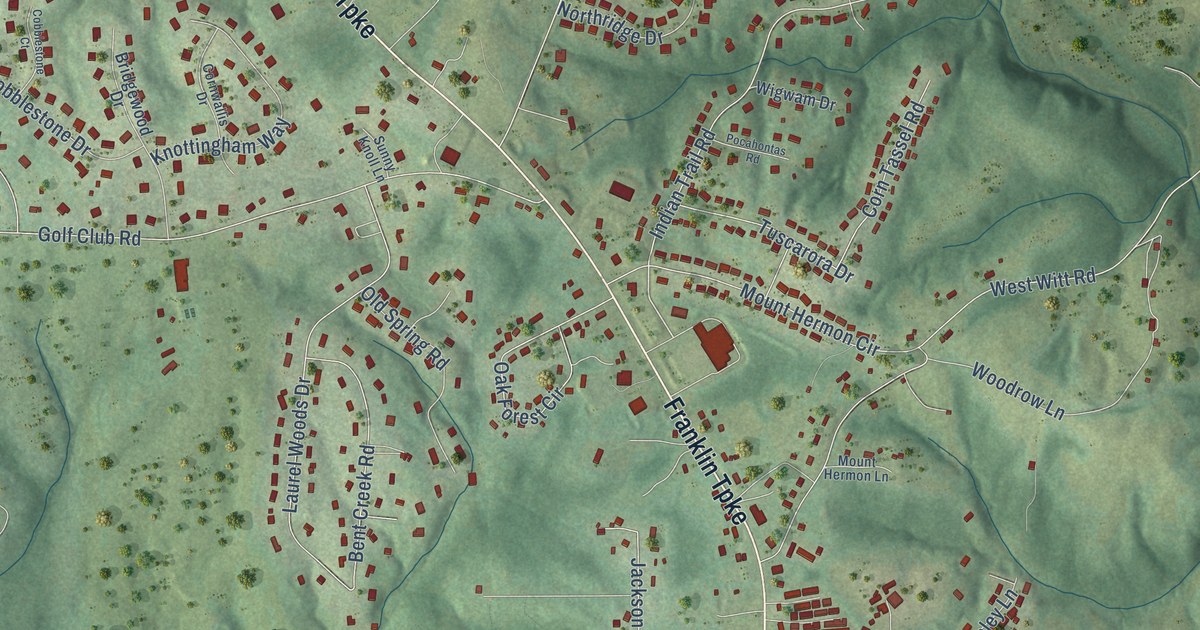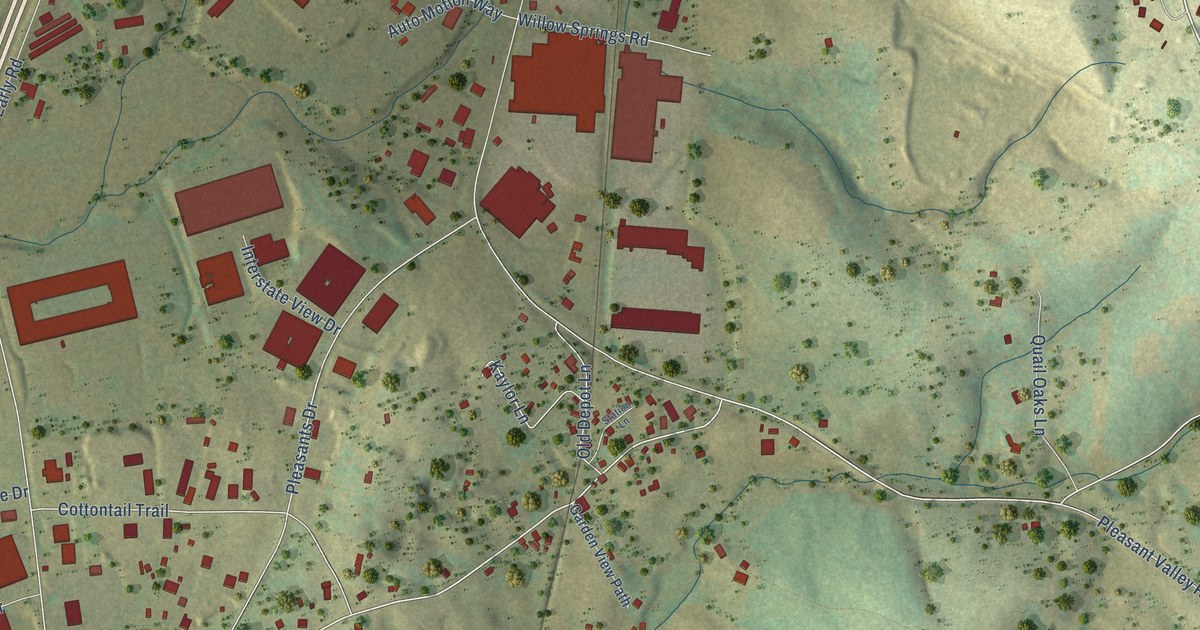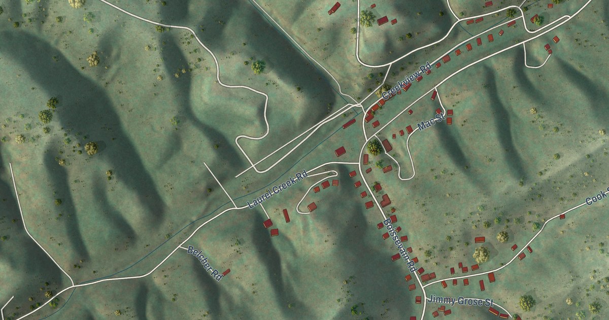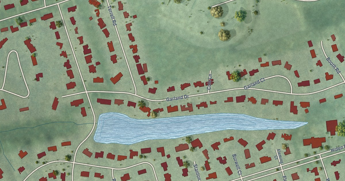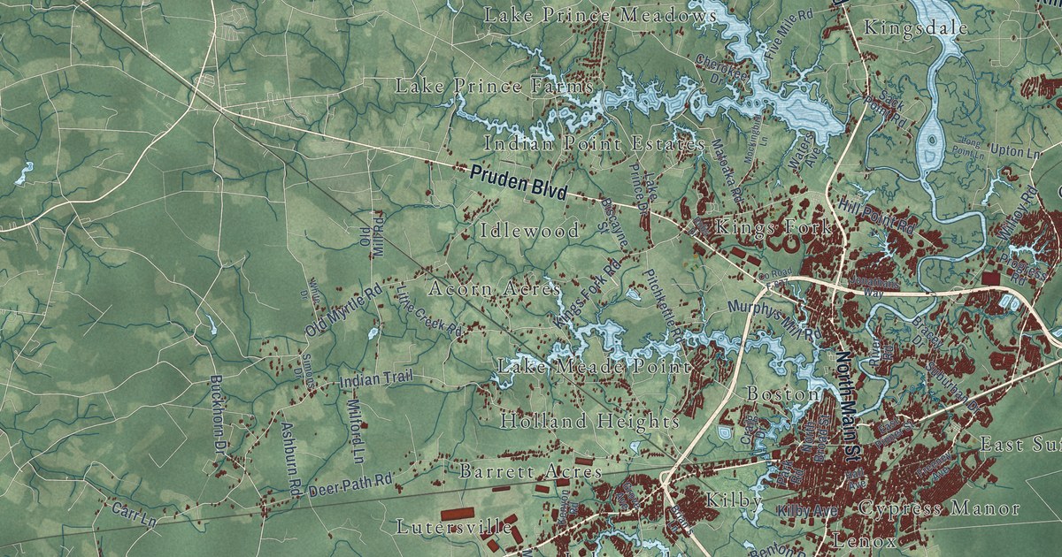
This beautifully detailed map of Suffolk, Virginia was created in 2026 using aerial imagery combined with modern topographical, census, street and landmark data. It’s a one-of-a-kind view of Suffolk that combines accurate data with a vintage aesthetic. The map shows every building in its true location, many of the roads carry their names, and the shaded topographic relief shows the shape of the land.
Explore an aerial view of Suffolk, Virginia
On the map you’ll find Cherry Grove, Factory Hill, Acorn Acres, Ames Cove, Arbor Meadows, Baileytown, Bakers Crossing, Barrett Acres, Beales Corner, Beamon, Belleville, Bennett Corner, and more. If you look closely you can even find your house accurately drawn in its correct location. Zoom in on the preview to look for yours.
Did you know this piece of Suffolk, Virginia history?
From Vcris.dhr.virginia.gov: "Here stood the Colonial Suffolk Church, a large, cross-shaped, brick building, erected in 1753 as the second parish church of Upper Parish, Nansemond County, and the first house of worship in the town of Suffolk."
Take a closer look at the Suffolk map
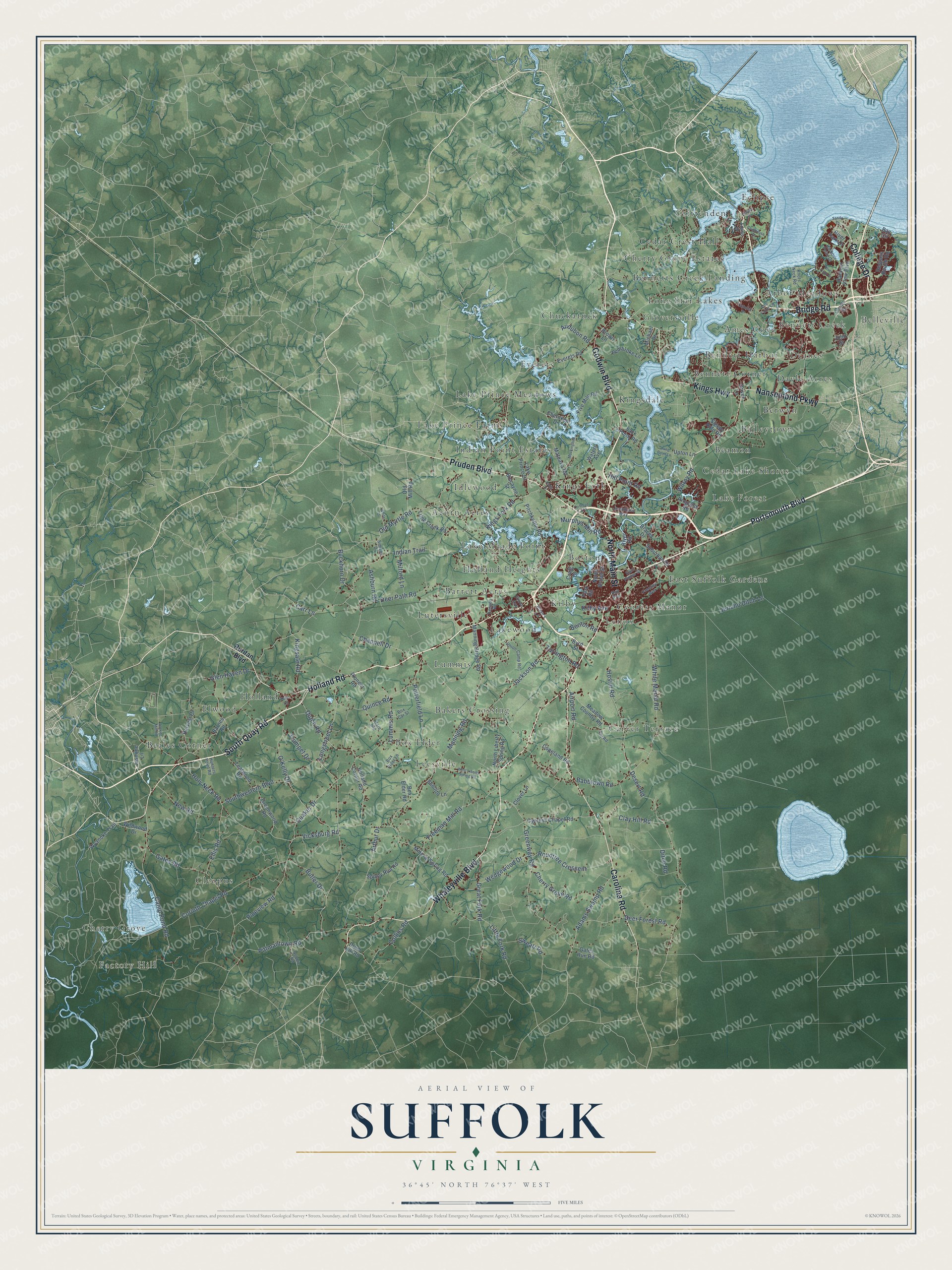
Street and place names on the Suffolk, Virginia map
These names are printed on the map of Suffolk, Virginia.
Places: Cherry Grove, Factory Hill, Acorn Acres, Ames Cove, Arbor Meadows, Baileytown, Bakers Crossing, Barrett Acres, Beales Corner, Beamon, Belleville, Bennett Corner, Bennett Creek, Bennett Harbor, Bennetts Creek Landing, Berwyn, Boston, Box Elder, Carver Terrace, Cedar Crest Hall, Cedar Lake Shores, Cherry Grove Estates, Chuckatuck, Cleopus, Crittenden, Cypress Manor, Dayle Acres, Deanes, East Suffolk Gardens, Eclipse, Elwood, Everets, Gloversville, Holland, Holland Heights, Idlewood, Indian Point Estates, Kilby, Kings Fork, Kingsdale, Lake Forest, Lake Meade Point, Lake Prince Farms, Lake Prince Meadows, Lakewood, Leesville, Lenox, Lone Star Lakes, Lummis and Lutersville.
Streets and roads: Holland Road, Whaleyville Boulevard, Bridge Road, South Quay Road, Godwin Boulevard, Portsmouth Boulevard, Pruden Boulevard, North Main Street, Carolina Road, Nansemond Parkway, Kings Highway, College Drive.
More street names, A to Z
Adams Drive, Adams Swamp Road, Airport Road, Arthur Drive, Ashburn Road, Audubon Road, Babbtown Road, Barnes Road, Bay Circle, Benton Road, Biscayne Street, Box Car Street, Box Elder Lane, Box Elder Road, Bracey Drive, Brian's Lane, Brown Lane, Buckhorn Drive, Butler Drive, Byrd Street, Camp Pond Road, Carr Lane, Chappell Drive, Cherokee Drive, Cherry Grove Road, Clay Hill Road, Clover Lane, Clubhouse Drive, Collins Road, Colonial Drive, Copeland Road, Corinth Chapel Road, County Road F-677, Craig Drive, Cypress Chapel Road, Deer Forest Road, Deer Path Road, Desert Road, Ditch Road, Driver Lane, Drum Hill Road, Dutch Road, East Pinner Street, Eclipse Drive, Ellis Road, Everets Road, Five Mile Road, Freeman Mill Road, Freeney Avenue, Gates Road, Gates Run Road, Glen Haven Drive, Great Fork Road, Greenway Road, Greenwood Road, Grove Avenue, Hall Avenue, Harbour Point Drive, Harbour View Boulevard, Hare Road, Harvest Drive, Hill Point Road, Holland Corner Road, Holy Neck Road, Hosier Road, Hunters Point Road, Indian Trail, Jackson Road, Jasmine Lane, Jenkins Mill Road, Jericho Ditch Lane, John Street, Jonathans Way, Kenyon Road, Kilby Avenue, Kingsale Road, Kings Fork Road, Knots Neck Road, Lake Prince Drive, Leafwood Road, Lee Farm Lane, Lincoln Street, Little Creek Road, Little Fork Road, Long Point Lane, Longstreet Lane, Lummis Road, Manning Bridge Road, Manning Road, Matoaka Road, Meadow Country Road, Michael Drive, Milford Lane, Mineral Spring Road, Mockingbird Lane, Murphys Mill Road, New Road, North Broad Street, North Liberty Spring Road, O'Kelly Drive, Old Mill Road, Old Myrtle Road, Park Road, Pembroke Lane, Pineview Road, Pioneer Road, Pitchkettle Road, Pittmantown Road, Pitt Road, Porterfield Lane, Progress Road, Quaker Drive, Quince Road, Respass Beach Road, River Club Drive, River Park Drive, River Road, Robbie Road, Robs Drive, Rountree Crescent, Ruritan Boulevard, Sack Point Road, Sandy Drive, Shellito Lane, Simons Drive, Sleepy Hole Road, Southwestern Boulevard, Spivey Run Road, Suburban Drive, Sweatt Road, Tree Lane, Trumpet Drive, Turlington Road, Union Camp Road, Upton Lane, Vicksburg Road, Waters Avenue, Wedgewood Drive, West Liberty Spring Road, White Drive, White Marsh Road, Wildwood Drive, Wilroy Road, Wyanoke Trail.
See the Suffolk, Virginia map on a wall
The Suffolk map as an 18 x 24 inch print in a black frame.

This beautifully detailed map of Suffolk makes an attractive addition to your office, library, or den, and it can even be used to teach children the geography and history of the area. It also makes a great gift for anyone with Suffolk roots. When you’re done exploring, click here to get your copy of the Suffolk map.