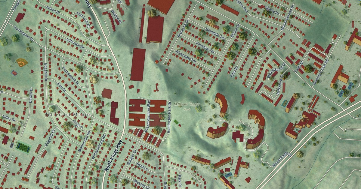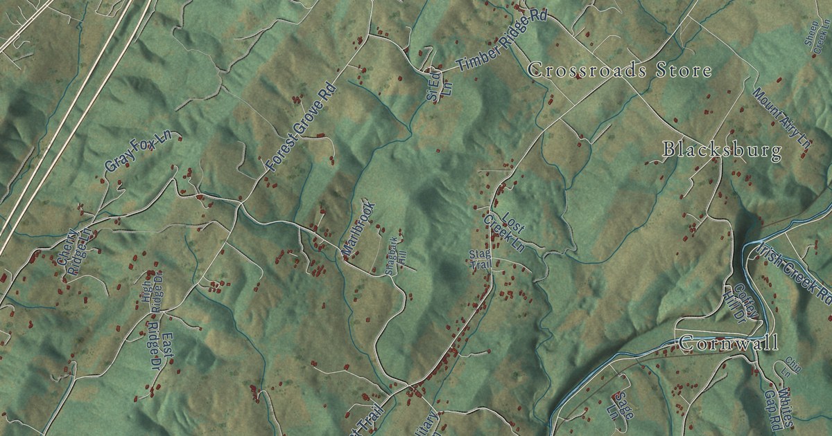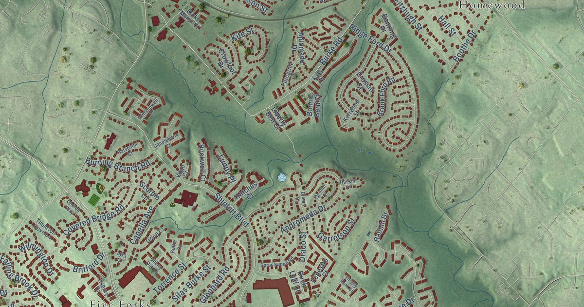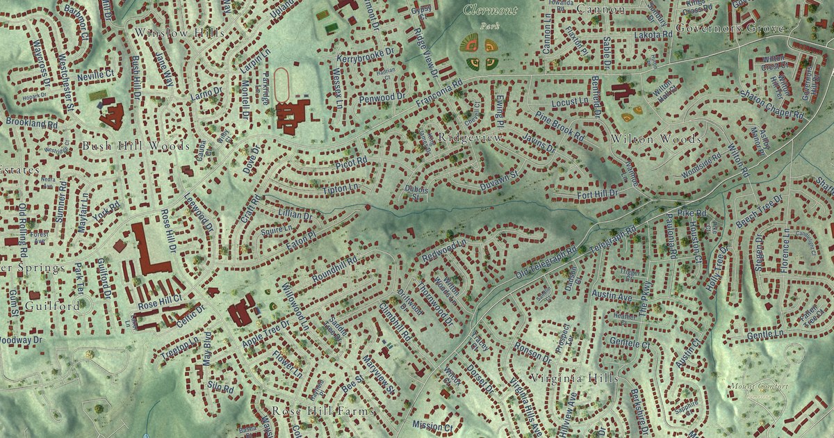
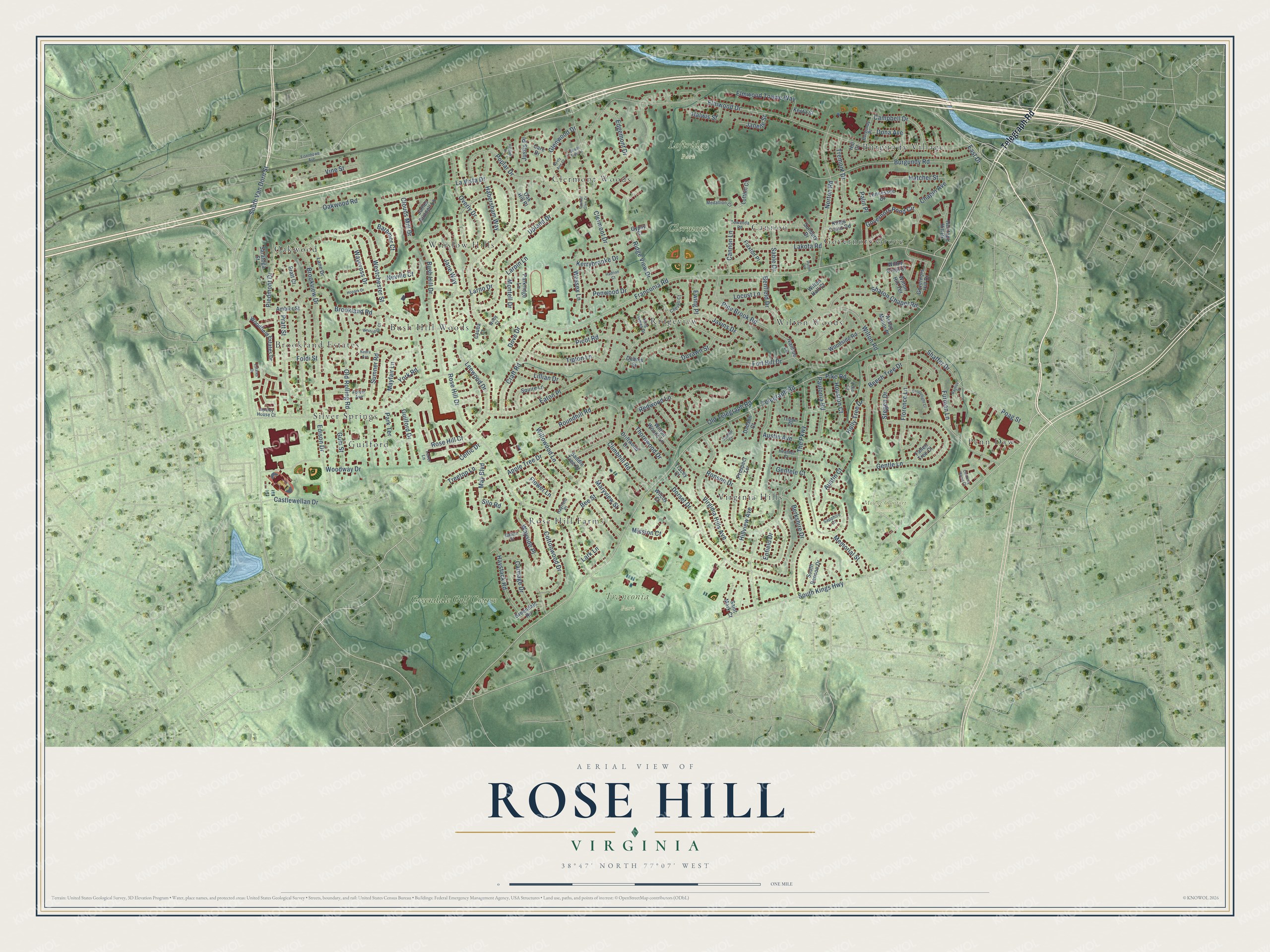
This beautifully detailed map of Rose Hill, Virginia was created in 2026 using aerial imagery combined with modern topographical, census, street and landmark data. It’s a one-of-a-kind view of Rose Hill that combines accurate data with a vintage aesthetic. The map shows every building in its true location, many of the roads carry their names, and the shaded topographic relief shows the shape of the land.
Explore an aerial view of Rose Hill, Virginia
On the map you’ll find Clermont Park, Franconia Park, Loftridge Park, Mount Comfort Cemetery, Brookland Estates, Burgundy Village, Bush Hill Woods, Cannon, Clermont Woods, Governors Grove, Guilford, Oakwood, and more. If you look closely you can even find your house accurately drawn in its correct location. Zoom in on the preview to look for yours.
Did you know this piece of Rose Hill, Virginia history?
From HMdb: "The community of Rose Hill was created in 1954. The land was part of an 18th century plantation known as Rose Hill, established by Daniel French, the builder of Pohick Church."
Take a closer look at the Rose Hill map
Street and place names on the Rose Hill, Virginia map
These names are printed on the map of Rose Hill, Virginia.
Places: Clermont Park, Franconia Park, Loftridge Park, Mount Comfort Cemetery, Brookland Estates, Burgundy Village, Bush Hill Woods, Cannon, Clermont Woods, Governors Grove, Guilford, Oakwood, Penn Daw, Ridgeview, Rose Hill Farms, Silver Springs, Virginia Hills, Wilton Woods, Winslow Hills and Greendale Golf Course.
Streets and roads: Telegraph Road, East Drive, Franconia Road, South Kings Highway, South Van Dorn Street, Elmwood Drive, La Vista Drive, Ridge View Drive, Upland Drive, Rose Hill Drive, The Parkway, Westchester Street.
More street names, A to Z
Ambler Street, Apple Tree Drive, Apsley House Court, Ashby Manor Place, Austin Avenue, Austin Court, Barbmor Court, Basha Court, Bayliss Place, Beech Tree Drive, Bee Street, Benfield Drive, Berkshire Drive, Brookland Road, Brookview Drive, Burgundy Place, Burgundy Road, Bush Hill Drive, Campbell Drive, Candlelight Court, Cannon Lane, Care Drive, Carriage Drive, Cassel Glen Court, Castlewellan Drive, Cauba Court, Celtic Drive, Chapin Avenue, Chevell Court, Chimney Wood Court, Clermont Drive, Climbhill Road, Clouds Mill Drive, Cottonwood Drive, Craft Road, Dadson Court, Dona Avenue, Dorset Drive, Dove Drive, Driftwood Drive, Dubois Street, Duvawn Street, Eaton Place, Edgemont Drive, Edison Drive, Eisenhower Avenue, Elmwood Towne Way, Enfield Drive, Estates Drive, Ewing Place, Fallen Tree Court, Flaxton Place, Florence Lane, Flower Lane, Foldi Street, Forest Avenue, Fort Hill Drive, Furman Lane, Gentele Court, Gentle Lane, Glenwood Drive, Governors Hill Drive, Governors Pond Circle, Greendale Road, Guilford Drive, Gum Street, Gypsy Court, Habersham Way, Hadrian Court, Halwis Street, Hatcher Street, Hayfield Place, Haystack Road, Heather Court, Heritage Hill Drive, Hill Court, Hilldale Drive, Hillview Avenue, Holly Tree Drive, Hopark Drive, Houston Court, Huron Place, Ivanhoe Lane, James Gunnell Lane, Janelle Street, Jane Way, Javins Drive, Justis Place, Keota Street, Kerrybrooke Drive, King James Drive, Kings Cross Road, Laker Lane, Lakota Road, Lane Drive, Lark Lane, Larno Drive, Larpin Lane, Leewood Drive, Lillian Drive, Locust Lane, Lofthill Court, Maryview Street, May Boulevard, Mayfair Lane, Medallion Court, Memorial Street, Mission Court, Montell Drive, Nedra Avenue, Neely Ann Court, Neville Court, Norton Road, Oak Hill Place, Oakwood Road, Old Rolling Road, Old Telegraph Road, Overly Drive, Palin Place, Parkridge Lane, Park Terrace, Paulonia Road, Penwood Drive, Picot Road, Piedmont Drive, Pike Court, Pike Road, Pine Brook Road, Poag Street, Poplar Drive, Pratt Court, Pratt Street, Prospect Terrace, Redwood Lane, Ronson Drive, Rose Hill Court, Roundhill Road, Sable Drive, Saddle Tree Drive, Saint Mark Court, Sandlin Court, Sapphire Court, Saratoga Street, Shade Tree Lane, Shaffer Drive, Sharon Chapel Road, Silo Road, South Benson Drive, Squire Lane, Stegen Drive, Sumner Road, Sunbury Drive, Tennessee Drive, Thornwood Drive, Tipton Lane, Towanda Road, Tracey Court, Treetop Lane, Tremont Drive, Trigger Court, Vine Street, Virginia Hills Avenue, Waycross Drive, Wayside Place, Wessex Lane, Westridge Court, Wilby Court, Wilcox Court, Willowood Lane, Wilton Crest Court, Wilton Hall Court, Wilton Hill Terrace, Wilton Road, Wilton Woods Lane, Woodfield Estates Drive, Woodside Road, Woodway Drive, York Road.
See the Rose Hill, Virginia map on a wall
The Rose Hill map as an 18 x 24 inch print in a black frame.

This beautifully detailed map of Rose Hill makes an attractive addition to your office, library, or den, and it can even be used to teach children the geography and history of the area. It also makes a great gift for anyone who grew up in Rose Hill or moved away. When you’re done exploring, click here to get your copy of the Rose Hill map.