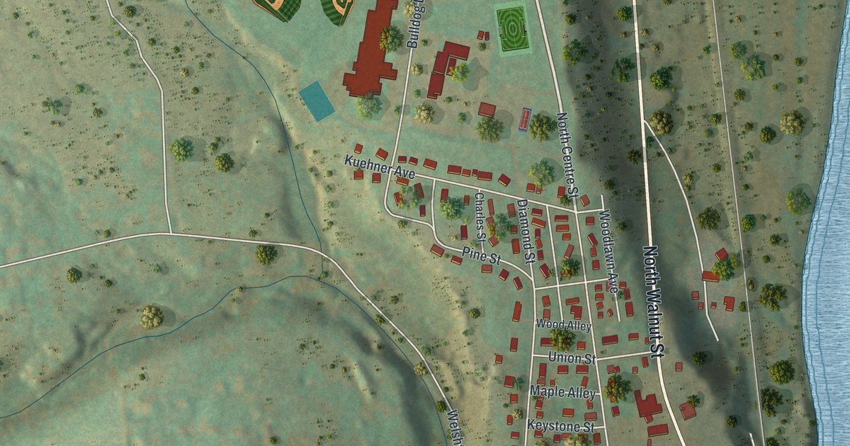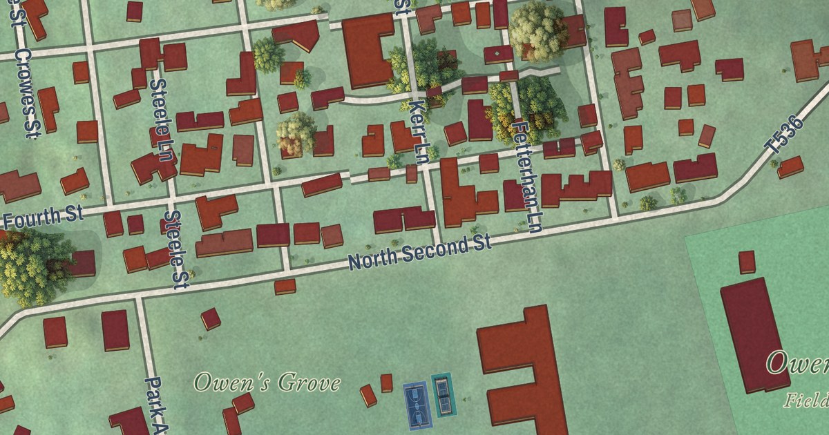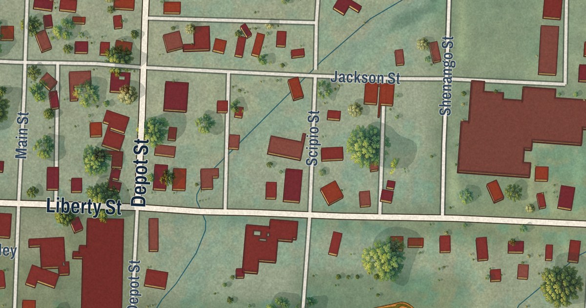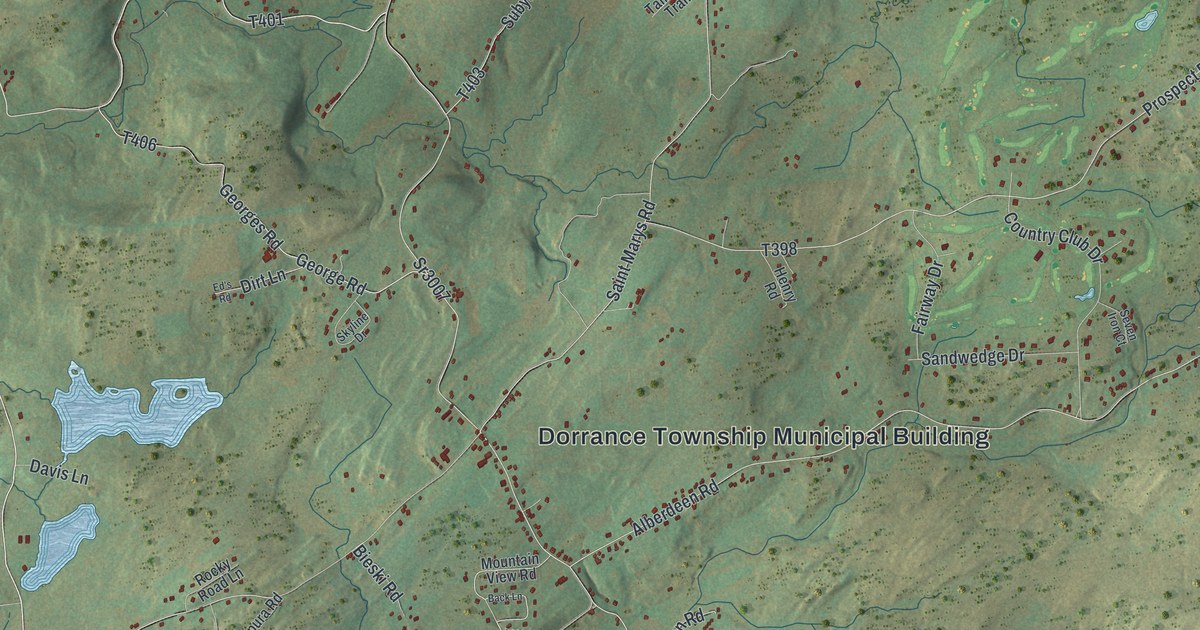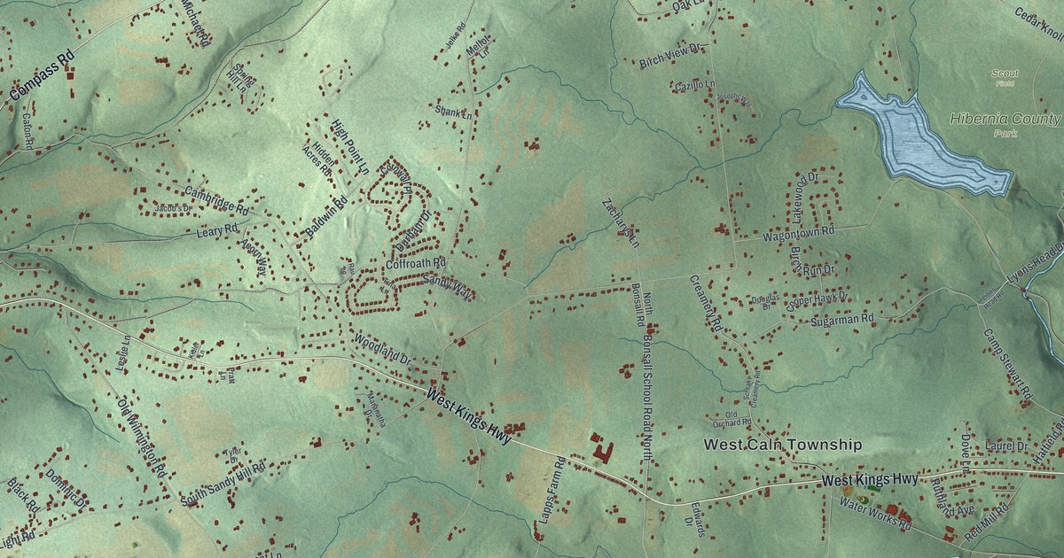
This beautifully detailed map of West Caln, Pennsylvania was created in 2026 using aerial imagery combined with modern topographical, census, street and landmark data. It’s a one-of-a-kind view of West Caln that combines accurate data with a vintage aesthetic. The map shows every building in its true location, many of the roads carry their names, and the shaded topographic relief shows the shape of the land.
Explore an aerial view of West Caln, Pennsylvania
On the map you’ll find West Caln Township, Wagontown, Martins Corner, Hibernia County Park, Scout Field, William Penn State Forest, Compass, and Phillipsville, along with West Kings Highway, Compass Road, Farmland Way, Parkesburg Road, and more. If you look closely you can even find your house accurately drawn in its correct location. Zoom in on the preview to look for yours.
Did you know this piece of West Caln, Pennsylvania history?
From LivingPlaces: "The inhabitants of East Caln petitioned for a determination of their boundaries in May of 1739, and in 1744, the boundaries were set for West Caln."
Take a closer look at the West Caln map
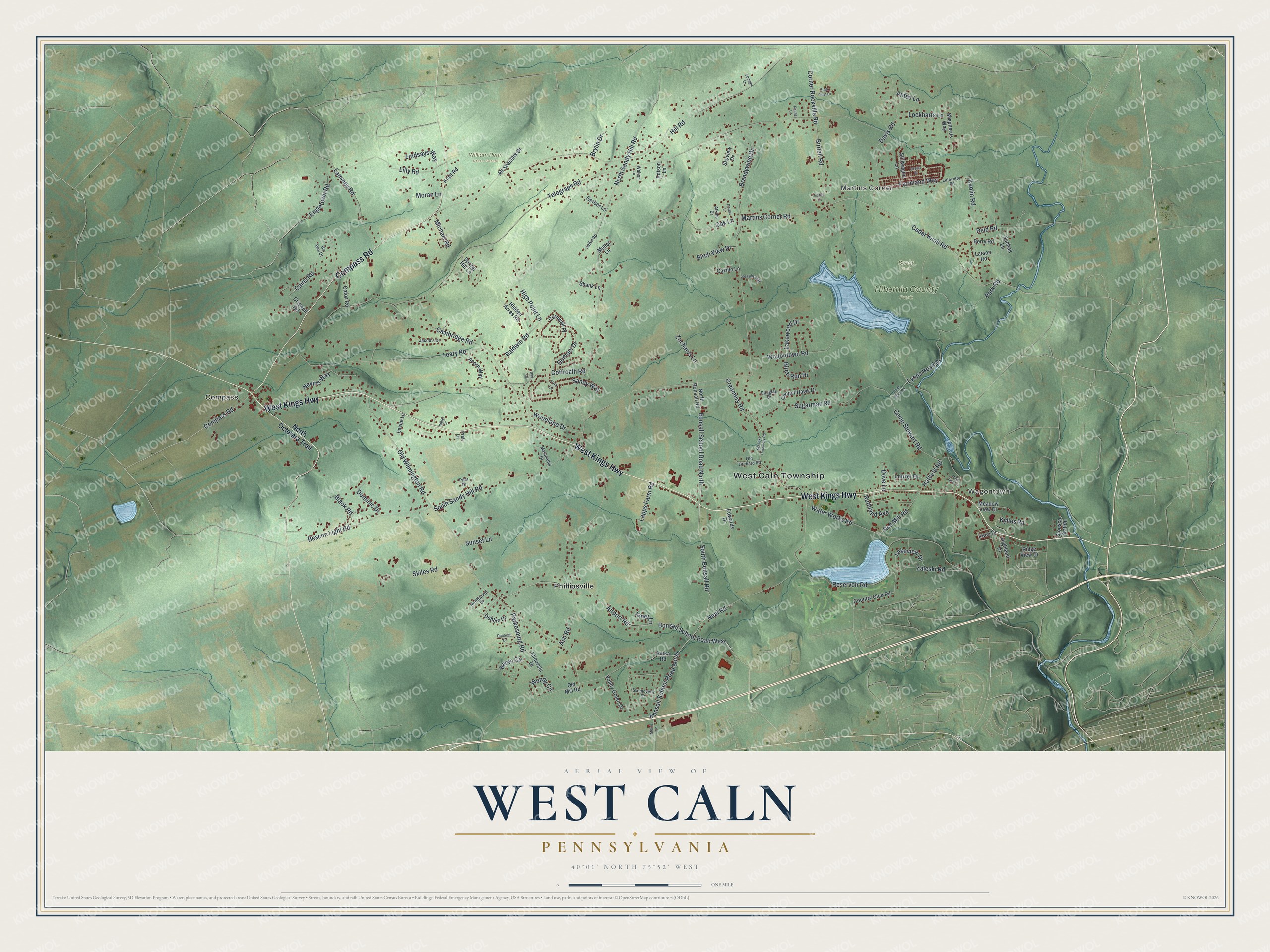
Street and place names on the West Caln, Pennsylvania map
These names are printed on the map of West Caln, Pennsylvania.
Places: West Caln Township, Wagontown, Martins Corner, Hibernia County Park, Scout Field, William Penn State Forest, Compass and Phillipsville.
Streets and roads: West Kings Highway, Compass Road, Farmland Way, Parkesburg Road, Cedar Knoll Road, Bonsall School Road North, Karen Circle, Telegraph Road, Martins Corner Road, Hill Road, Old Wilmington Road, Wagontown Road.
More street names, A to Z
Acorn Way, Airport Road, All Seasons Drive, Andy Jane Lane, Antes Lane, Ash Road, Aspen Street, Atkins Drive, Baldwin Road, Beacon Light Road, Berry Road, Birch Run Drive, Birch View Drive, Birdell Road, Black Road, Bo Bee Drive, Bonsall School Road South, Bonsall School Road West, Brandywine Drive, Brylin Drive, Cains Road, Cambridge Road, Camp Stewart Road, Caton Road, Cazillo Lane, Coffroath Road, Comet Lane, Cooper Hawk Drive, Corner Rockville Road, Cornwall Place, Country Club Road, Creamery Road, Criswell Road, Davis Road, Debbie Drive, Dominic Drive, Donovan Drive, Douglas Drive, Dove Lane, Durham Drive, Edison Lane, Edwards Drive, Engletown Road, Garby Lane, Gerber Lane, Hatfield Road, Hidden Acres Road, Highland Drive, High Point Lane, Jacob's Drive, Janet Lane, Jelke Road, Josephs Way, Kaolin Road, Kibler Lane, Klinovski Drive, Kraft Road, Kylies Road, Lafayette Road, Lakeview Drive, Lakewood Drive, Lammey Road, Lapps Farm Road, Larson Road, Laurel Drive, Leary Road, Leslie Lane, Lilly Road, Lindsays Way, Lions Head Road, Lockharts Lane, Lyons Head Drive, Maranatha Drive, Meadow View Drive, Mellot Lane, Michael Road, Moran Lane, Morris Lane, Neal Road, Nevins Way, North Bonsall Road, North Octorara Trail, North Sandy Hill Road, Northwood Drive, Oak Lane, Old Mill Road, Old Orchard Road, Park Road, Penn Drive, Petka Road, Pratt Lane, Rachel Lane, Rau Lane, Red Mill Road, Reid Road, Reservoir Road, Ridge View Drive, Ruthland Avenue, Sandy Way, Scenicview Drive, Schraks Creamery Road, Shank Lane, Shepherds Way, Siousca Station, Skiles Road, Skyview Drive, South Bonsall Road, South Sandy Hill Road, Spring Hill Lane, Stillwagon Lane, Stringer Lane, Suchak Lane, Sugarman Road, Sunset Lane, Tina Lane, Tyler Drive, Valley Green Drive, Walton Lane, Water Works Road, Wendy Circle, Woodland Drive, Zacharys Lane, Zaleski Road, Zook Farm Drive.
See the West Caln, Pennsylvania map on a wall
The West Caln map as an 18 x 24 inch print in a black frame.

This beautifully detailed map of West Caln makes an attractive addition to your office, library, or den, and it can even be used to teach children the geography and history of the area. It also makes a great gift for someone who left West Caln and still calls it home. When you’re done exploring, click here to get your copy of the West Caln map.