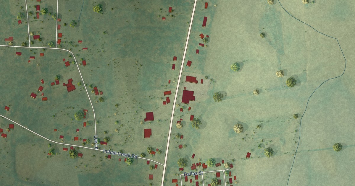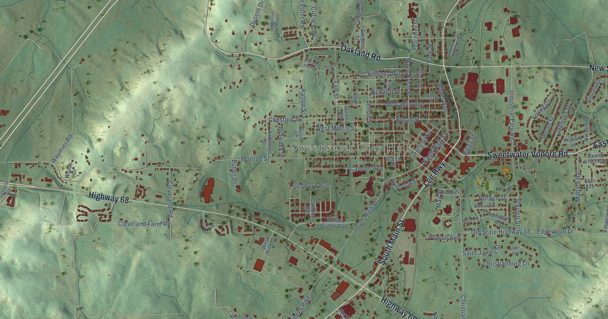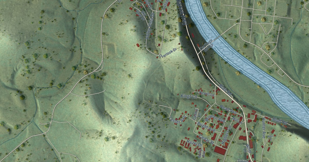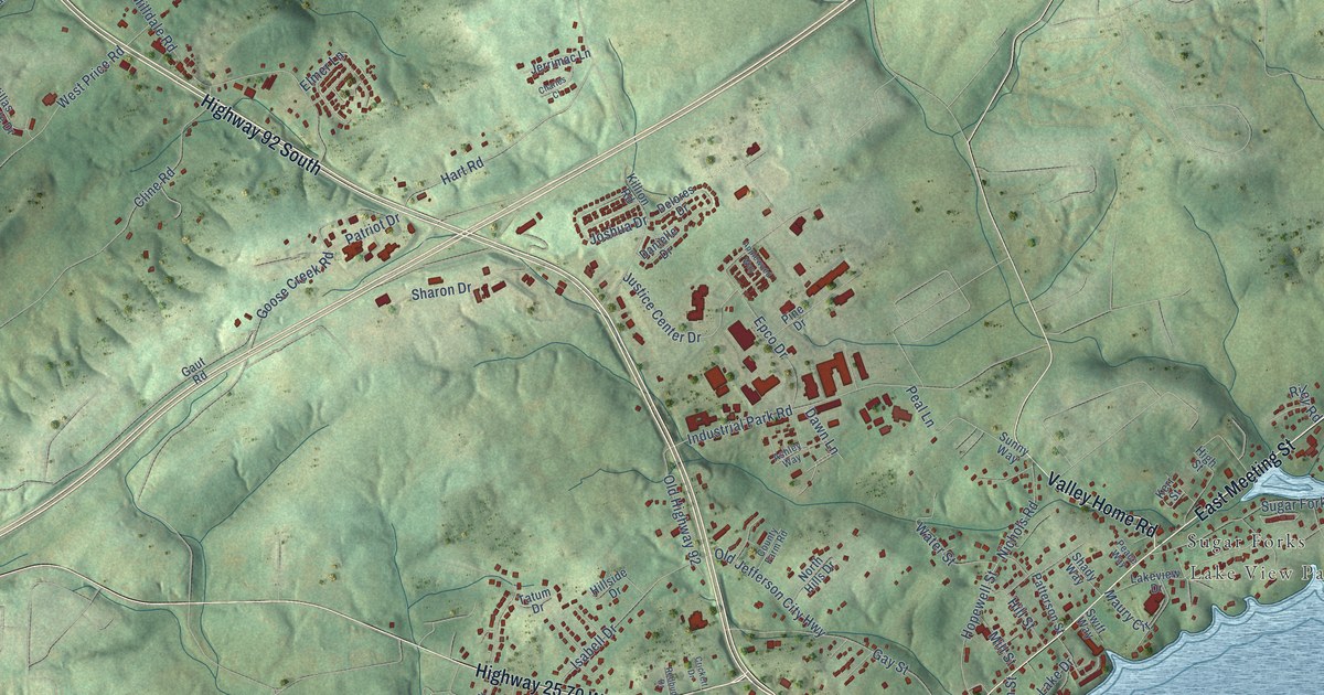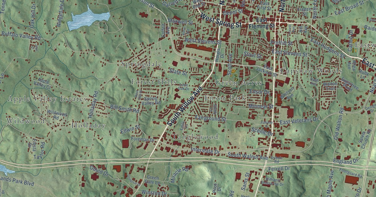
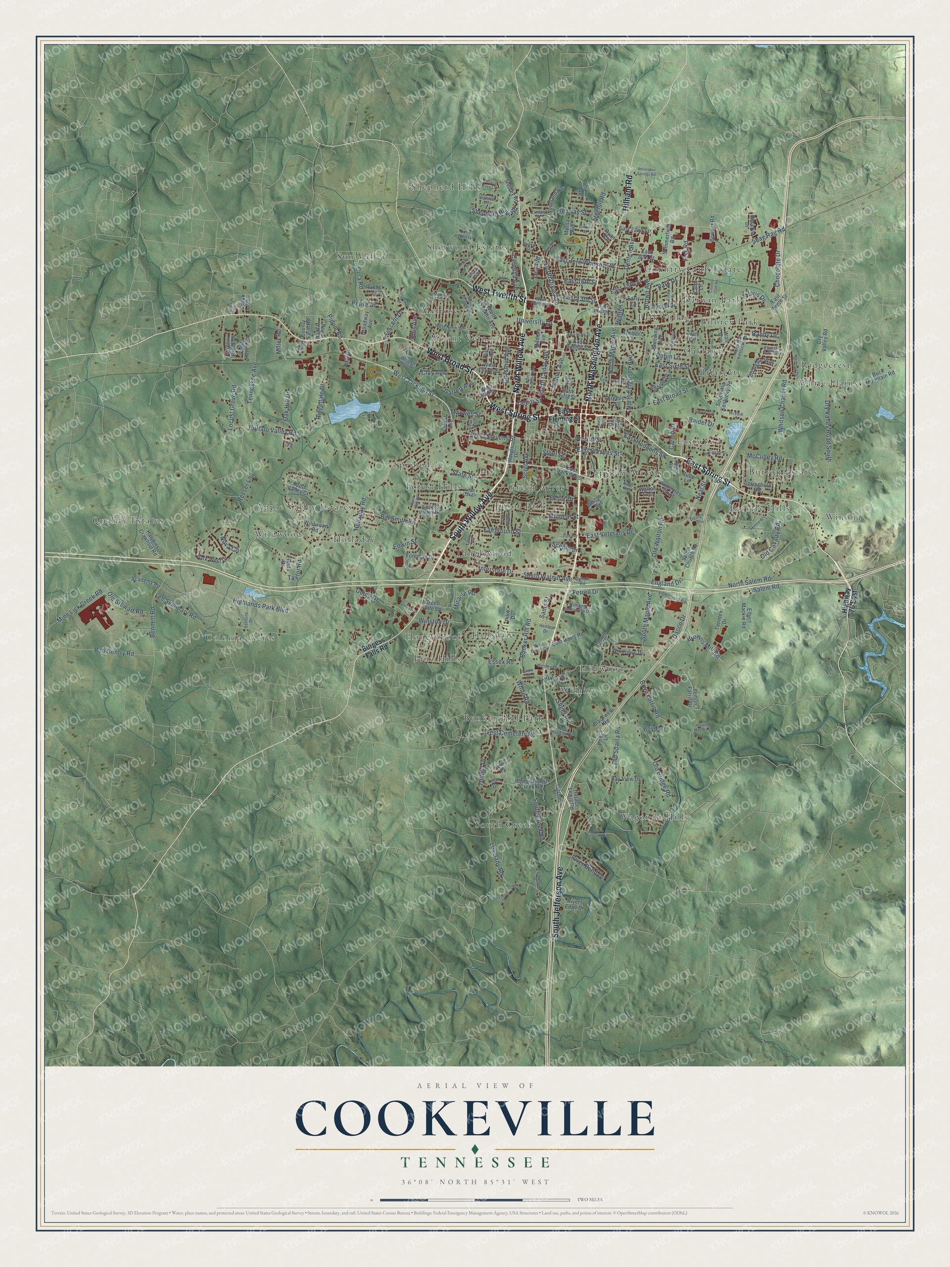
This beautifully detailed map of Cookeville, Tennessee was created in 2026 using aerial imagery combined with modern topographical, census, street and landmark data. It's a modern aerial view of Cookeville in Putnam County, Tennessee, that combines modern data with a vintage aesthetic. The roads feature printed names, and if you look closely you can find your exact house accurately shown in its correct location.
Explore an aerial view of Cookeville, Tennessee
On this map you'll find Apple Valley Estates, Beverly Hills, Bilbrey Park, Briargate, Bunker Hill Park, Burton Estates, Capshaw Woods, Colonial Acres, Country Club Estates, Darwin Park, Eastwood, Ensor Park, and more. Each red shape is a building, so zoom in on the preview and look for yours.
Here is a piece of Cookeville history, in the words of the record. The record at tennesseeencyclopedia.net puts it this way: "The Nashville and Knoxville reached Cookeville from the west in 1890, and the Tennessee Central connected the Southern Railroad at Harriman to the new town of Monterey in Putnam County, founded when the tracks reached it in 1893."
Cookeville is a city in Putnam County. The Census Bureau counted 34,842 people here in 2020.
Take a closer look at the Cookeville map
Names on this map
These names are printed on this map.
Places: Apple Valley Estates, Beverly Hills, Bilbrey Park, Briargate, Bunker Hill Park, Burton Estates, Capshaw Woods, Colonial Acres, Country Club Estates, Darwin Park, Eastwood, Ensor Park, Forest Hills, Green Acres, Hillsdale, Hillwood, Holladay, Honeybrook, Melrose, Mount Vernon, Oaklawn, Park Village, Pine Hills, Quality Estates, Ridgecrest, Shepherd Hills, Sherwood Estates, South Creek, Springdale, Sun Valley, Tanglewood, Wagonda Hills, White Plains, Wildwood, Wilhite and Winona.
Streets and roads: East Spring Street, West Broad Street, West Spring Street, North Willow Avenue, North Washington Avenue, South Jefferson Avenue, South Willow Avenue, West Twelfth Street, Hilham Road, West Jackson Street, North Dixie Avenue, South Walnut Avenue.
More street names, A to Z
Academy Road, Apple Valley Court, Bay View Drive, Bennett Road, Bill Smith Road, Blackwell Road, Blake Circle, Bob Bullock Road, Bob Gentry Road, Bouton Bnd, Bowser Road, Boyd Farris Road, Boyd Lane, Breeding Avenue, Briargate Way, Bridle Path, Broadway Avenue, Brown Avenue, Browns Mill Road, Buck Mountain Road, Buffalo Valley Road, Bunker Hill Road, Burgess Falls Road, Carlen Drive, Carolina Avenue, Carol Lane, Castle Drive, Charles Street, Chestnut Avenue, Chocolate Drive, Circle Drive, Clay Avenue, Coffelt Avenue, Cooke Street, Cora Road, Country Club Road, County Farm Road, Crescent Drive, Dacco Drive, Denton Avenue, Depot Street, Design Drive, Dogwood Circle, Doris Drive, Dry Valley Road, Dry Valley Road South, Dubois Road, Dustin Lane, Early Lane, East 13th Street, East 15th Street, East 16th Street, East 20th Street, East 22nd Street, East Broad Street, East Davis Road, East Eighth Street, East First Street, East Fleming Street, East Fourth Street, East Hudgens Street, East Jackson Street, East Jere Whitson Road, East Ninth Street, East Sixth Street, East Stevens Street, East Tenth Street, East Twelfth Street, East Veterans Drive, Edwin Street, Elbert Mackie Road, Ellis Avenue, Emily Lane, England Drive, Ensor Drive, Essex Road, Fairground Street, Ferrell Drive, Fiesta Drive, Fisk Road, Flatt Circle, Fleetguard Road, Foreman Drive, Forrest Cove Lane, Freehill Road, Freeze Street, Frisbie Lane, Garrett Avenue, Goodwin Road, Gould Drive, Green Gate Lane, Hargis Drive, Hawkins Crawford Road, Helen Place, Henley Drive, Highlands Park Boulevard, Highway 70 East, Hill Avenue, Hillside Drive, Holladay Road, Holly Avenue, Horace Lewis Road, Interstate Drive, Jean Court, Johnson Drive, Julia Drive, Kacie Avenue, Kenway Street, Laurel Park Circle, Lee Avenue, Lee Seminary Road, Lemon Farris Drive, Leon Drive, Linden Street, Little John Lane, Locust Avenue, Locust Grove Road, Lone Oak Drive, Louis Avenue, Lovelady Road, Mahler Avenue, Massa Avenue, Maxwell Street, McCulley Road, Melrose Drive, Mill Drive, Miller Road, Mine Lick Creek Road, Minnear Street, Miracle Road, Mount Vernon Road, Nash Avenue, Neal Street, New Horizon Drive, North Cedar Avenue, North Ferguson Avenue, North Franklin Avenue, North Hickory Avenue, North Maple Avenue, North Old Kentucky Road, North Salem Road, Nova Circle, Oak Hill Drive, Oaklawn Court, Old Bridge Road, Old Cavalry Road, Old Sparta Road, Old Stewart Road, Old Walton Road, Palkway Drive, Park Drive, Park West Drive, Peace Lane, Petite Drive, Pigeon Roost Creek Road, Pilot Drive, Pine Avenue, Pippin Road, Pritchard Pass, Proffitt Street, Purple Martin Lane, Rachel Lane, Raider Drive, Randy Drive, Redbud Drive, Reeser Lane, Reserve Drive, Rhea Avenue, Ridgedale Drive, River Bend Drive, Rivers Edge Drive, Robin Lane, Royal Oak Drive, Ruby Lane, Ryan Circle, Salem Church Road, Salem Road, Sams Street, Scenic Drive, Scott Avenue, Shady Lane, Shag Rag Road, Sharon Avenue, Shepherd Hills Road, Sheraton Drive, Sherwood Lane, Shipley Road, Skyline Drive, Sliger Road, South Creek Road, South Lovelady Road, South Maple Avenue, South Old Kentucky Road, Speck Road, Springboro Road, Spring Valley Road, Stadium Avenue, State Street, Stout Street, Sugartree Point, Sullivan Street, Summerfield Road, Sunset Drive, Taylor Road, Tennessee Avenue, Tenntex Drive, Thomas Road, Timber Lane, Tolbert Drive, Universal Drive, University Drive, Venture Drive, Wall Avenue, Walton Lane, Walton Trail, Wesley Drive, West Cemetery Road, West Davis Road, West End Street, Western Hills Drive, West Fourth Street, West Haven Drive, West Ninth Street, West Oak Drive, West Stevens Street, Whiteaker Springs Road, White Road, Whitson Avenue, Whitson Chapel Road, Wildwood Road, Williams Enterprise Drive, Willow Brook Drive, Windrowe Drive, Winston Drive, Woodland Heights.
Created by KNOWOL in 2026. The buildings are small red shapes, the roads carry their printed names, and shaded relief shows the shape of the land. The title panel reads "AERIAL VIEW OF COOKEVILLE TENNESSEE" with 36°08' NORTH 85°31' WEST.
It suits a den, a classroom or a front hall, and it makes a gift for anyone with Cookeville roots. Open the preview and find the block you know. See sizes and frames for the Cookeville map.