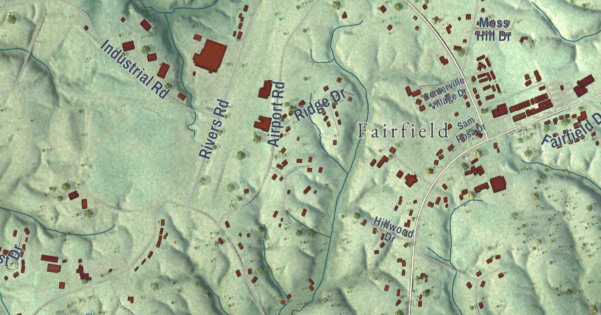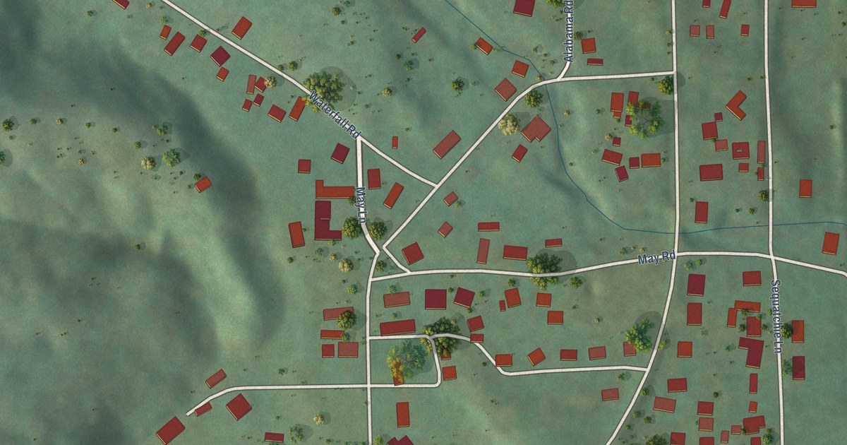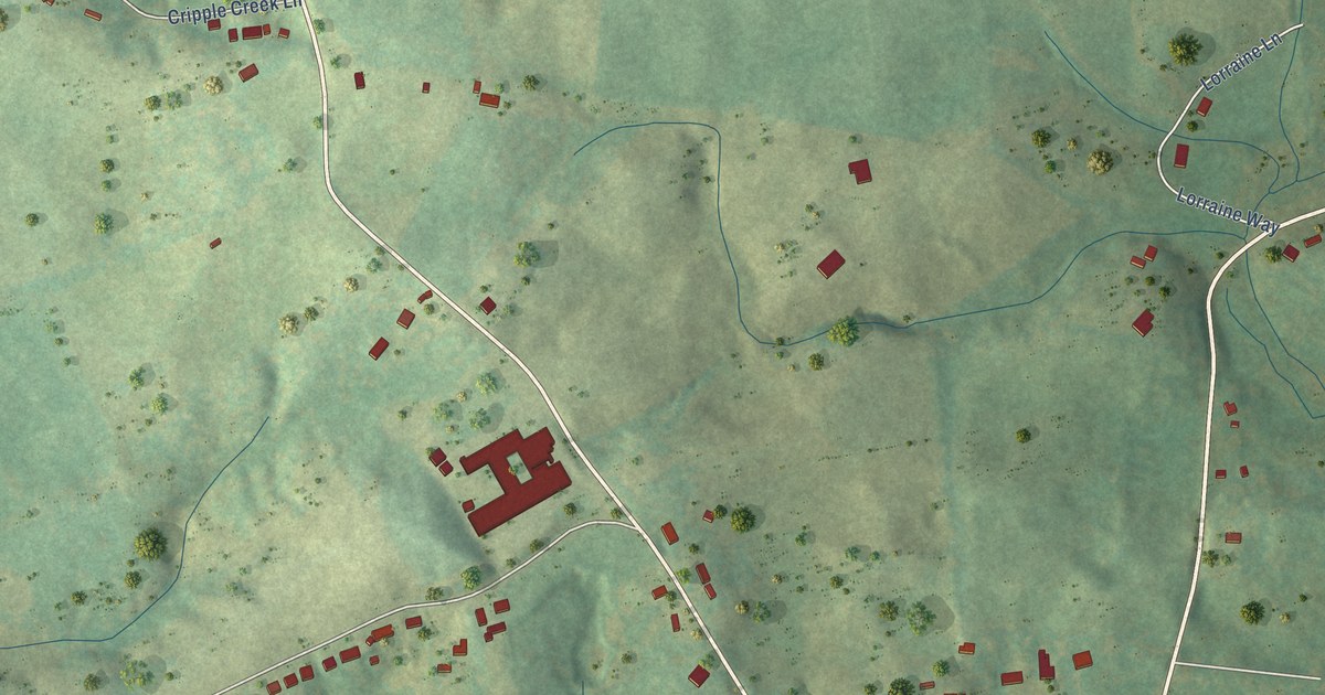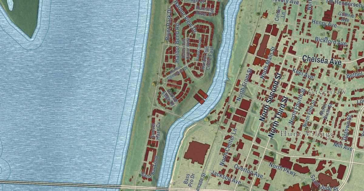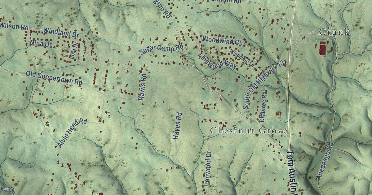
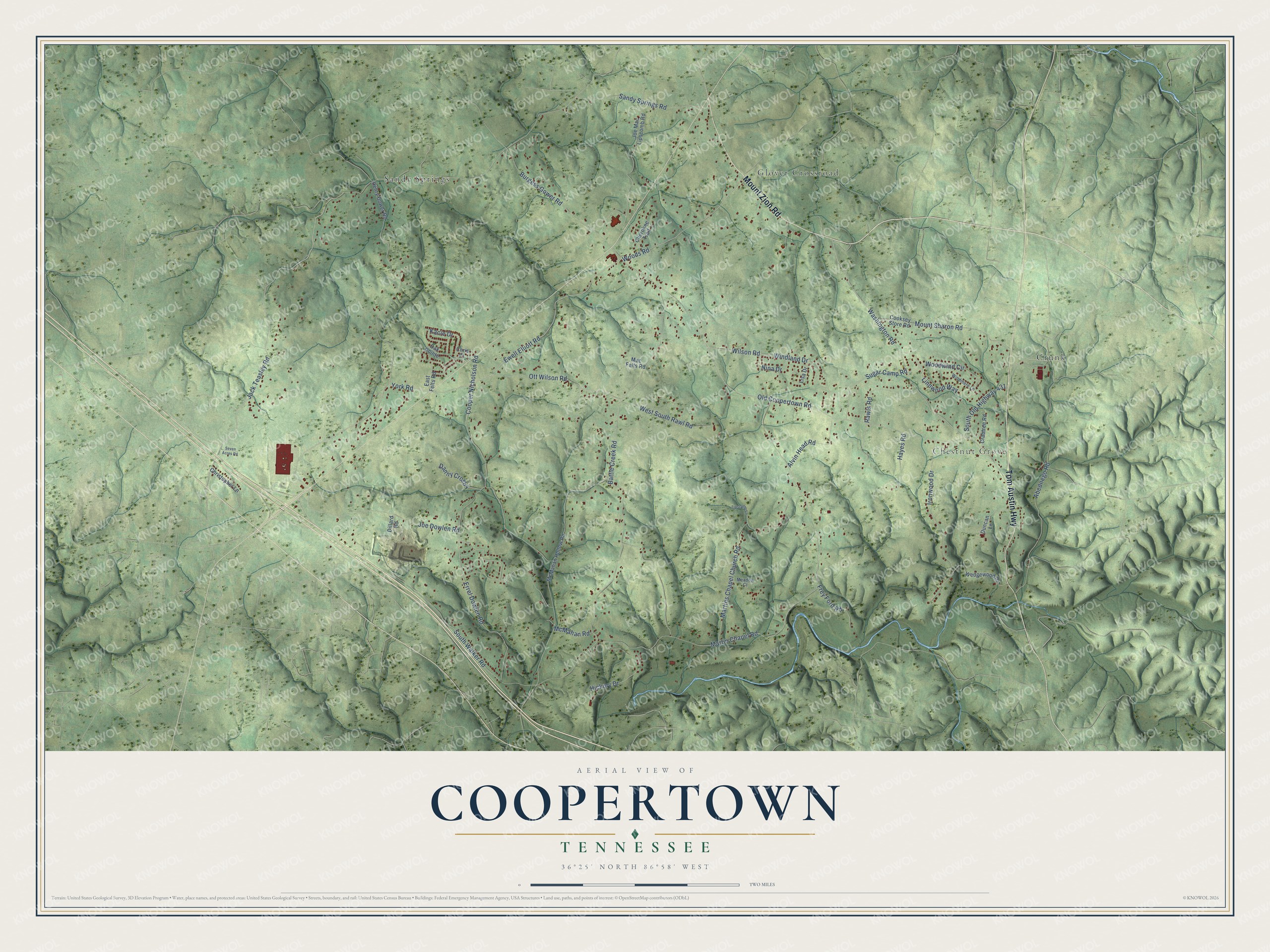
This beautifully detailed map of Coopertown, Tennessee was created in 2026 using aerial imagery combined with modern topographical, census, street and landmark data. It’s a one-of-a-kind view of Coopertown that combines accurate data with a vintage aesthetic. The map shows every building in its true location, many of the roads carry their names, and the shaded topographic relief shows the shape of the land.
Explore an aerial view of Coopertown, Tennessee
On the map you’ll find Chestnut Grove, Crunk, Glover Crossroad, and Sandy Springs, along with Tom Austin Highway, Mount Zion Road, Sandy Springs Road, Old Coopertown Road, Jack Teasley Road, Ewell Elliott Road, York Road, Washington Road, and more. If you look closely you can even find your house accurately drawn in its correct location. Zoom in on the preview to look for yours.
Did you know this piece of Coopertown, Tennessee history?
From the Town of Coopertown: "Coopertown did not achieve status as an incorporated town until 1996 when the citizens of the community held a referendum and voted to become a town. This decision to become a municipality came as a response to a threat of a landfill attempting to locate in the community."
Take a closer look at the Coopertown map
Street and place names on the Coopertown, Tennessee map
These names are printed on the map of Coopertown, Tennessee.
Places: Chestnut Grove, Crunk, Glover Crossroad and Sandy Springs.
Streets and roads: Tom Austin Highway, Mount Zion Road, Sandy Springs Road, Old Coopertown Road, Jack Teasley Road, Ewell Elliott Road, York Road, Washington Road, South Old Highway 431, Woods Road, Wilson Road, Battle Creek Road.
More street names, A to Z
Abednego Road, Alvin Head Road, Burgess Gower Road, Cherokee Trail, Chris Court, Christopher Lane, Cooksey Store Road, Cooper Nicholson Road, Crabtree Road, Danny Crosby, Dillard Road, Duncan Lane, East Felts Road, Errel Dowlen Road, Frey Ford Road, Hayes Road, Henry Gower Road, Hickory Drive, Ironwood Drive, Joe Dowlen Road, Joe Mac Lipscomb Road, Kacie Drive, Linnwood Way, Lipscomb Lane, Lisa Drive, Mac Felts Road, Martin Chapel Road, Martins Chapel Church Road, McMahan Hollow Road, McMahan Road, Meadow Court, Mount Sharon Road, Nina Drive, Oak Pointe, Ott Wilson Road, Rawls Road, Seven Acres Road, South Walker Road, Sugar Camp Road, Wedgewood Drive, West South Rawl Road, Windland Drive, Windmere Lane, Woodwind Circle.
See the Coopertown, Tennessee map on a wall
The Coopertown map as an 18 x 24 inch print in a black frame.

This beautifully detailed map of Coopertown makes an attractive addition to your office, library, or den, and it can even be used to teach children the geography and history of the area. It also makes a great gift for anyone who grew up in Coopertown or moved away. When you’re done exploring, click here to get your copy of the Coopertown map.