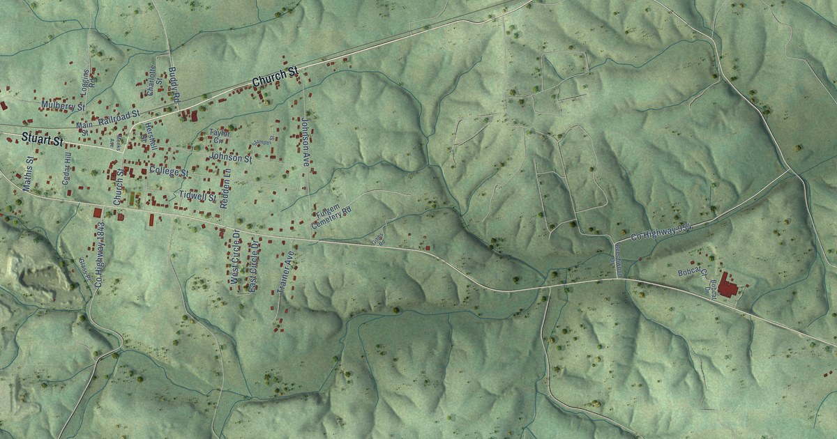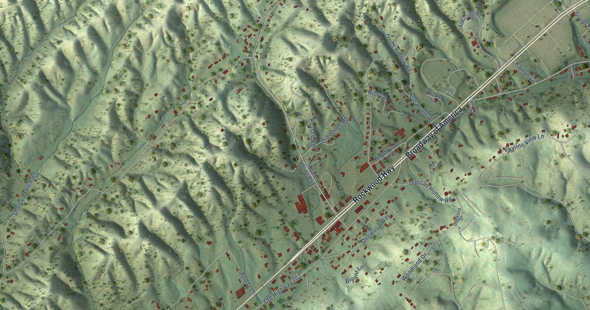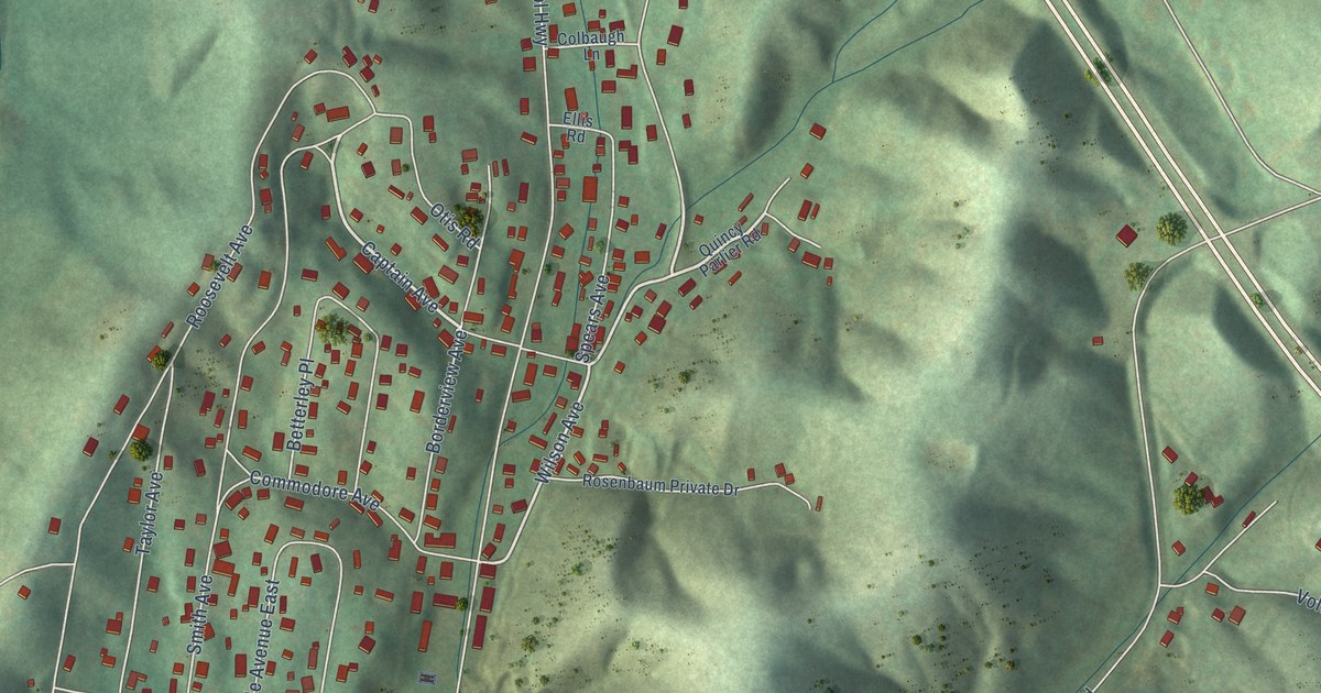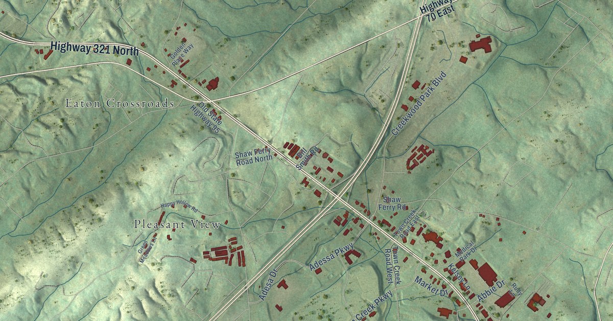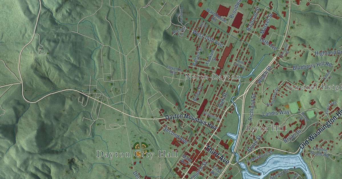
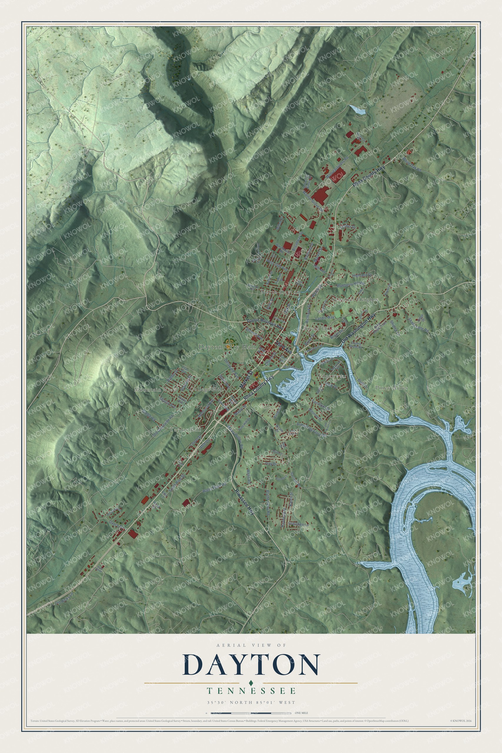
This beautifully detailed map of Dayton, Tennessee was created in 2026 using aerial imagery combined with modern topographical, census, street and landmark data. It's a modern aerial view of Dayton in Rhea County, Tennessee, that combines modern data with a vintage aesthetic. The roads feature printed names, and if you look closely you can find your exact house accurately shown in its correct location.
Explore an aerial view of Dayton, Tennessee
On this map you'll find Dayton City Hall, Mountain View, Taylor Hill, Bryan Hill, College Hill, Edgewater, North Dayton, Piney Acres, Sentinel Heights, Rhea County Highway, Market Street, Hiwassee Highway, and more. Each red shape is a building, so zoom in on the preview and look for yours.
Dayton has a story worth telling. The Internet Archive puts it this way: "In 1884 he had a survey made, and located the town of Dayton,
and subsequently built a fine residence there, and was cured of Bright’s disease by
drinking the water of Dayton Spring."
Dayton is a city in Rhea County. The Census Bureau counted 7,065 people here in 2020.
Take a closer look at the Dayton map
Names on this map
These names are printed on this map.
Places: Dayton City Hall, Mountain View, Taylor Hill, Bryan Hill, College Hill, Edgewater, North Dayton, Piney Acres and Sentinel Heights.
Streets and roads: Rhea County Highway, Market Street, Hiwassee Highway, Old Washington Highway, Third Avenue, Iowa Avenue, Blythe Ferry Road, Karen Street, Manufacturers Road, Riddle Street, Fairmont Drive, Railroad Street.
More street names, A to Z
16th Avenue, Able Drive, Allison Lane, Ann Street, Arbor Pointe Trail, Archer Lane, Armstrong Ferry Road, Ballard Street, Black Oak Road, Blueberry Hill Road, Bluff Drive, Boley Street, Broadway Street, Bryan Drive, Bryan Street, Cedar Glen Lane, Cedar Lane, Cherryhill Street, Chickamauga Drive, Church Street, Dayco Drive, Dayton Mountain Highway, Delaware Avenue, Double South Road, Edgewater Avenue, Edgewater Street, Eleventh Avenue, Ellis Lane, Evergreen Drive, Fawn Trail, First Avenue, Garrison Road, Greenway Boulevard, Gretchen Lane, Hayes Drive, Haywood Street, Highland Drive, Horseshoe Circle, Idaho Avenue, Illinois Avenue, Industrial Annex Drive, Joe Nixon Lane, Lakeshore Street, Landis Way, Laurel Drive, Laurel Street, Lilac Avenue, Main Avenue, Maley Hollow Road, Maple Street, Memorial Avenue, Mercer Drive, Millstone Drive, Nicole Drive, Oak Street, Old Graysville Road, Old Hicks Lane, Park Drive, Pine Hill Drive, Poppy Avenue, Randi Circle, Richland Street, Riddle Road, Ridgecrest Drive, Ridge Drive, Scenic Drive, Second Avenue, Sequoia Street, Seventh Avenue, Shady Lane Road, Shasta Avenue, Shipley Lane, South Pine Street, Stinnett Lane, Sun Drive, Timber Drive, Troy Drive, Walnut Grove Road, Warehouse Road, Water Plant Road, Welch Street, Wells Road, West 13th Avenue, West 14th Avenue, White Oak Road, Willow Drive, Wood Drive, Yoakum Street.
Created by KNOWOL in 2026. The buildings are small red shapes, the roads carry their printed names, and shaded relief shows the shape of the land. The title panel reads "AERIAL VIEW OF DAYTON TENNESSEE" with 35°30' NORTH 85°01' WEST.
It looks right in a kitchen, an office or a den, and it's a gift for anyone who grew up in Dayton or moved away. Open the preview and find your street. See sizes and frames for the Dayton map.