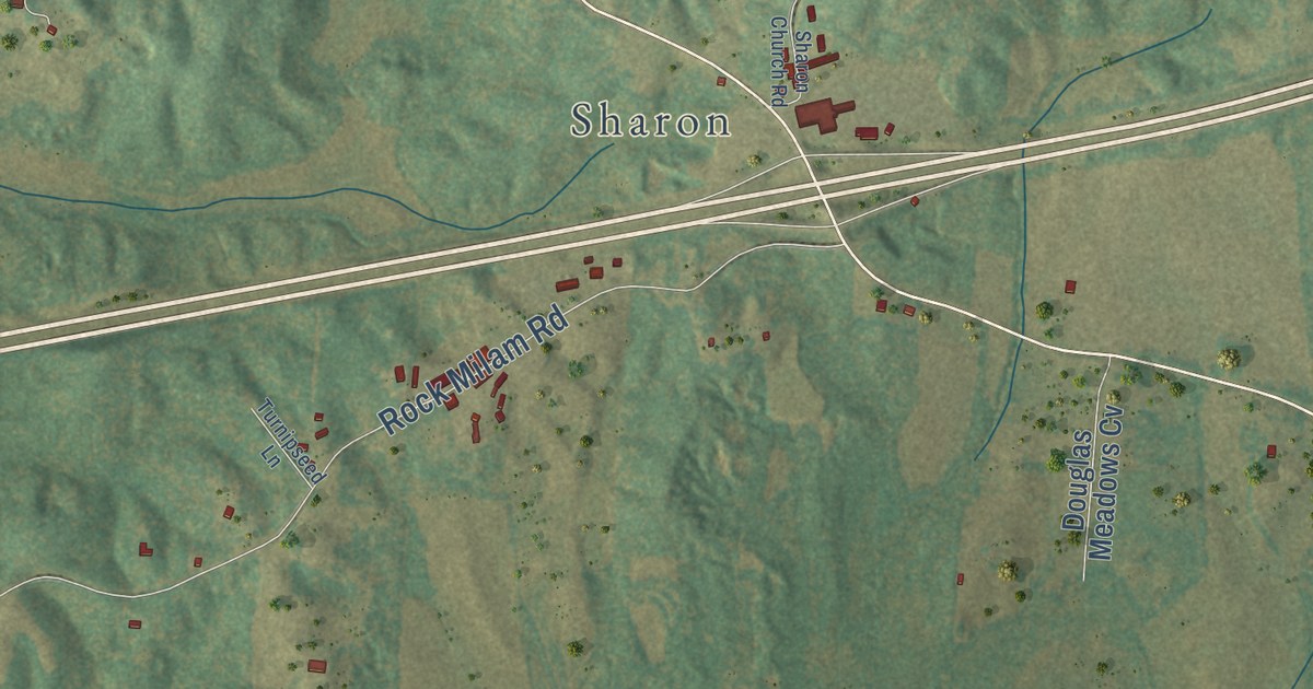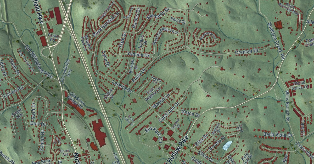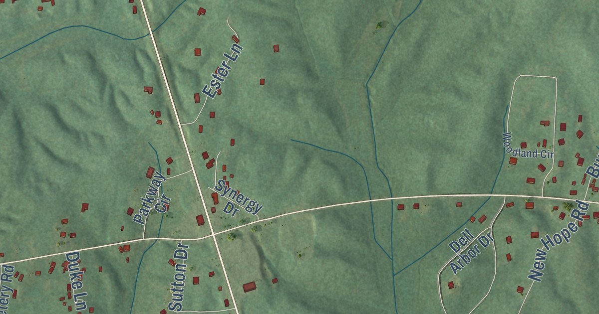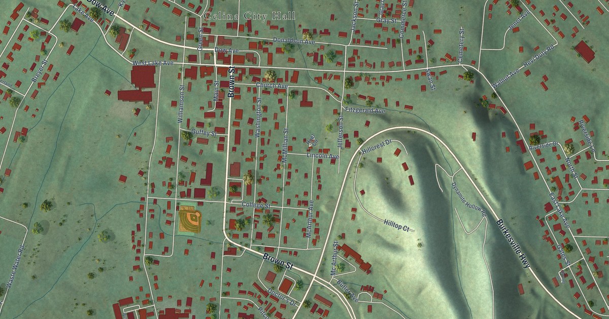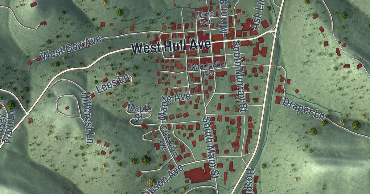
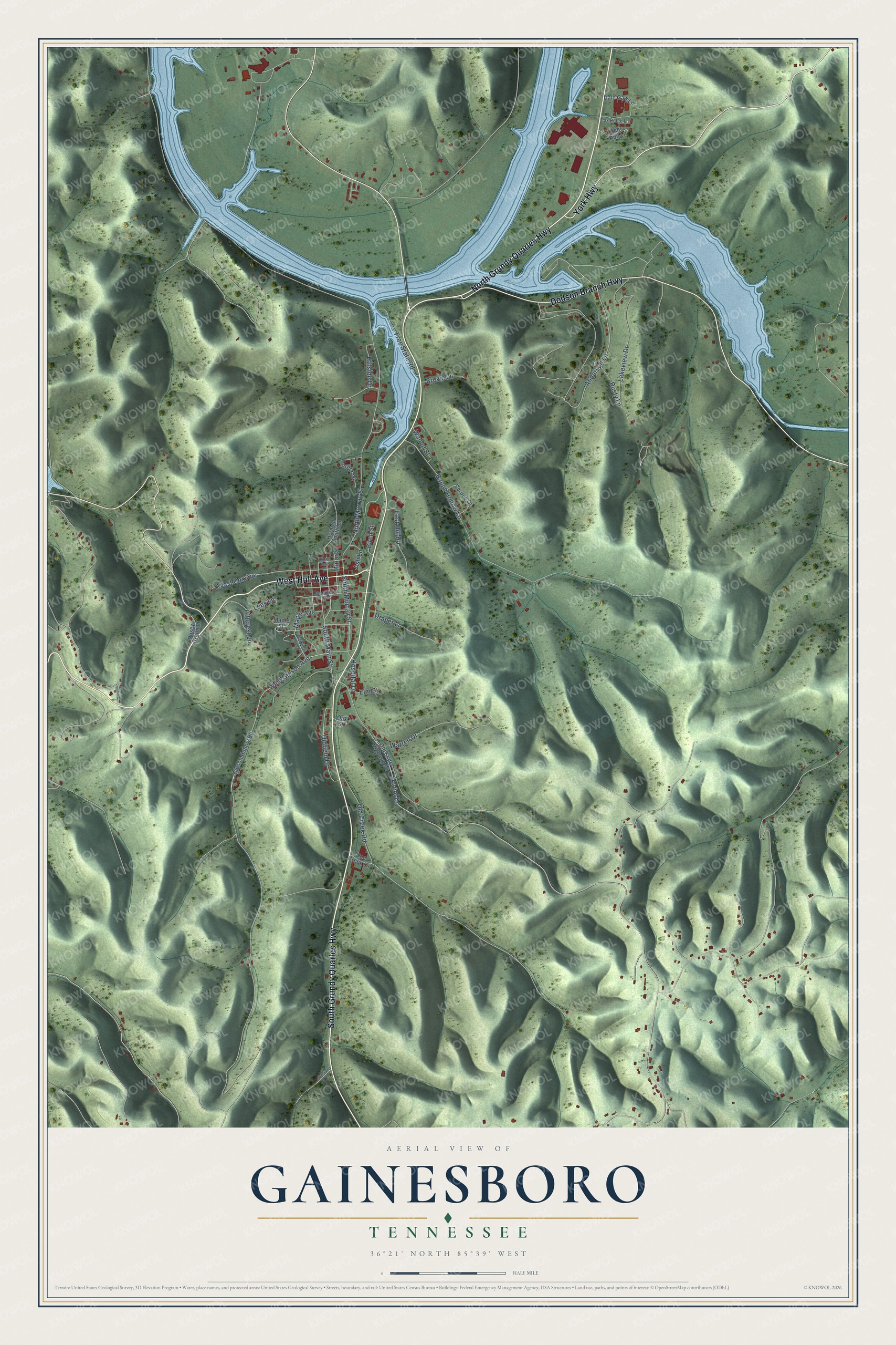
This beautifully detailed map of Gainesboro, Tennessee was created in 2026 using aerial imagery combined with modern topographical, census, street and landmark data. It’s a one-of-a-kind view of Gainesboro that combines accurate data with a vintage aesthetic. The map shows every building in its true location, many of the roads carry their names, and the shaded topographic relief shows the shape of the land.
Explore an aerial view of Gainesboro, Tennessee
On the map you’ll find North Grundy Quarles Highway, West Hull Avenue, South Grundy Quarles Highway, Dodson Branch Highway, York Highway, South Main Street, Anderson Lane, West Gipson Avenue, Montpelier Avenue, South Murray Street, North Murray Street, Lakeview Drive, and more. If you look closely you can even find your house accurately drawn in its correct location. Zoom in on the preview to look for yours.
Did you know this piece of Gainesboro, Tennessee history?
Long hunters came to the Gainesboro area by the 1770s, drawn by game at its salt licks. The town was named for General Edmund P. Gaines. Jackson County has been governed from Gainesboro since 1820. In 1970 Gregory Peck came to town to film a movie built around a Johnny Cash song.
Take a closer look at the Gainesboro map
Street names on the Gainesboro, Tennessee map
These names are printed on the map of Gainesboro, Tennessee.
Streets and roads: North Grundy Quarles Highway, West Hull Avenue, South Grundy Quarles Highway, Dodson Branch Highway, York Highway, South Main Street, Anderson Lane, West Gipson Avenue, South Murray Street, North Murray Street, Lakeview Drive, School Drive.
More street names, A to Z
Ash Lane, Baugh Hollow Lane, Birch Street, Borden Street, Brown Lane, Crestview Avenue, Dale Gaw Lane, Deer Run Lane, Dixie Avenue, Doe Creek Lane, Draper Lane, East Hill Road, Elm Street, Fox Ridge Lane, Free State Road, Gipson Hollow Road, Herman Smith Lane, Hestand Lane, Hillcrest Lane, Hillside Drive, Hospital Drive, Lees Lane, Maple Avenue, Maple Street, Minor Street, Montpelier Avenue, Oak Street, Old Creek Road, Oldfield Drive, Old State Highway 56, Posey Pruitt Lane, Rusty Lane, Spruce Drive, Walnut Street, Warren Drive, West Cox Avenue.
See the Gainesboro, Tennessee map on a wall
The Gainesboro map as an 18 x 24 inch print in a black frame.

This beautifully detailed map of Gainesboro makes an attractive addition to your office, library, or den, and it can even be used to teach children the geography and history of the area. It also makes a great gift for someone who left Gainesboro and still calls it home. When you’re done exploring, click here to get your copy of the Gainesboro map.