Detailed Map of Rockport, Washington
A detailed map of Rockport, Washington, showing every building in its true location, the roads by name, and shaded topographical relief.
Read More
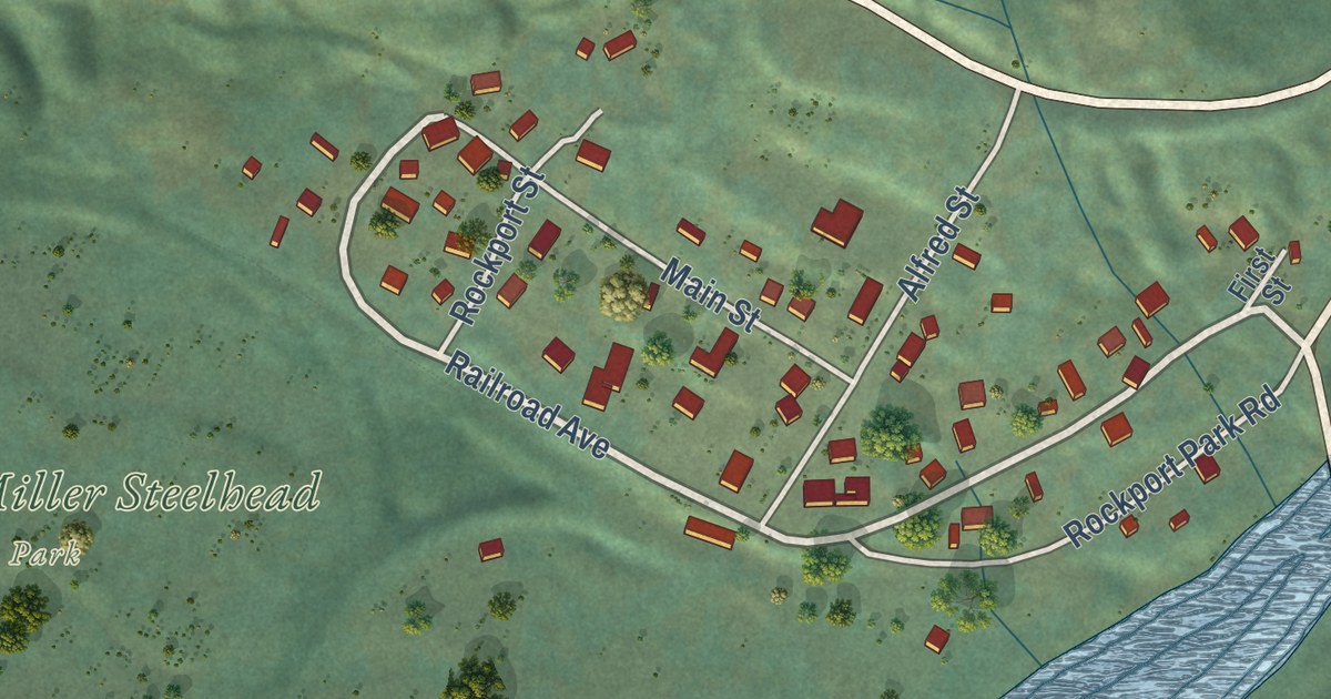
A detailed map of Rockport, Washington, showing every building in its true location, the roads by name, and shaded topographical relief.
Read More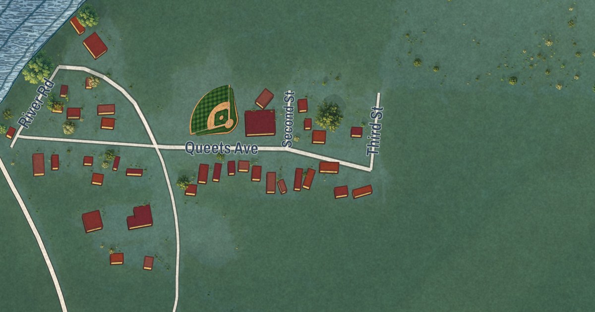
A detailed map of Queets, Washington, showing every building in its true location, the roads by name, and shaded topographical relief.
Read More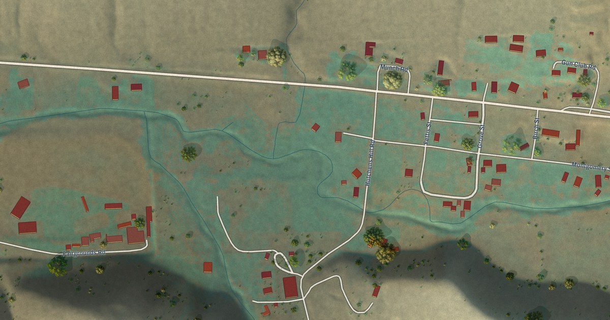
A detailed map of Pataha, Washington, showing every building in its true location, the roads by name, and shaded topographical relief.
Read More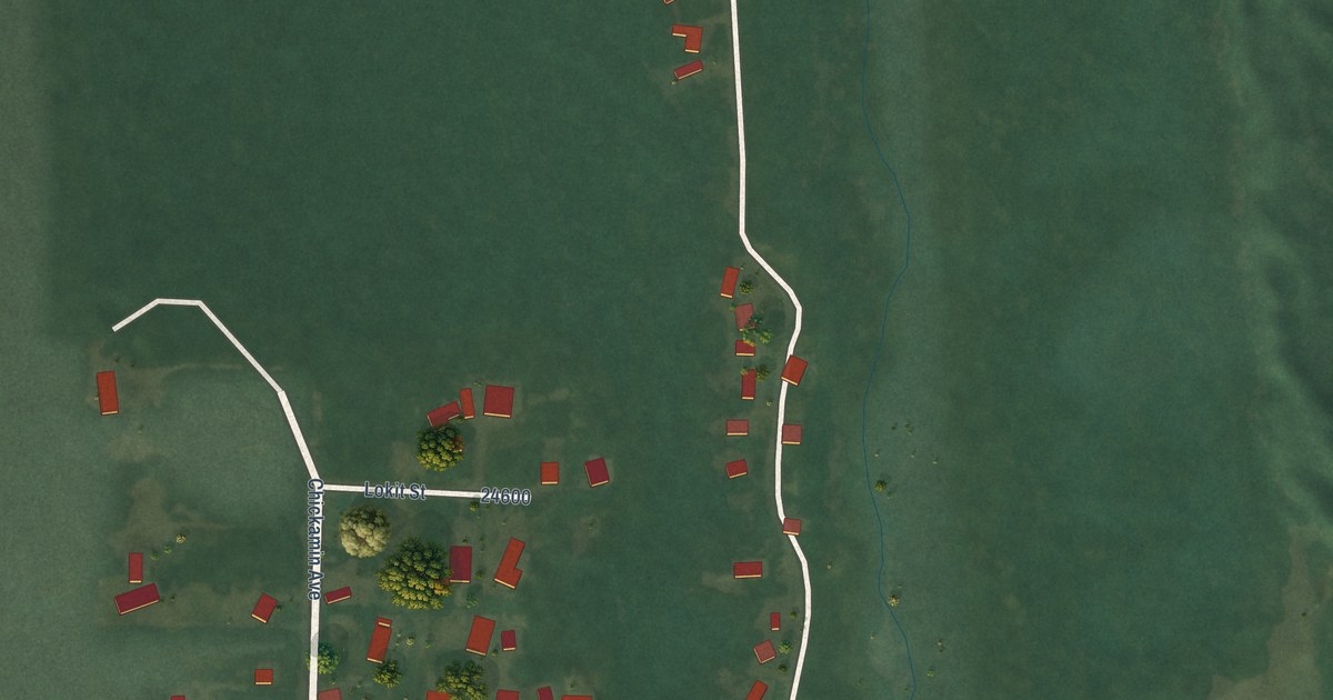
A detailed map of Oyehut, Washington, showing every building in its true location, the roads by name, and shaded topographical relief.
Read More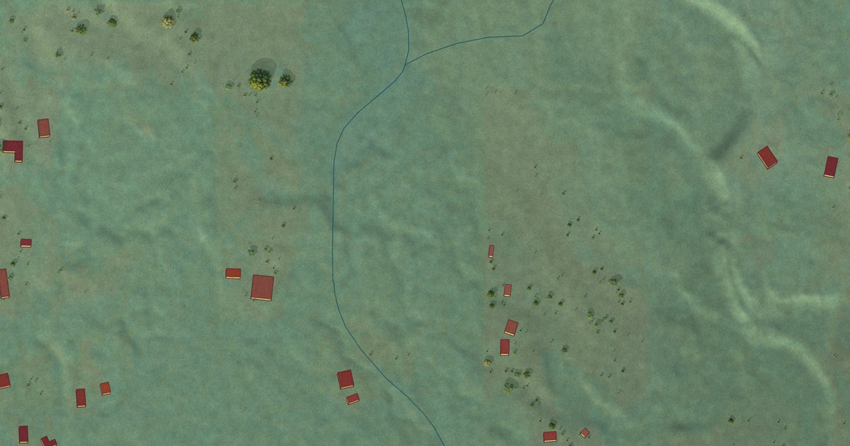
A detailed map of Oso, Washington, showing every building in its true location, the roads by name, and shaded topographical relief.
Read More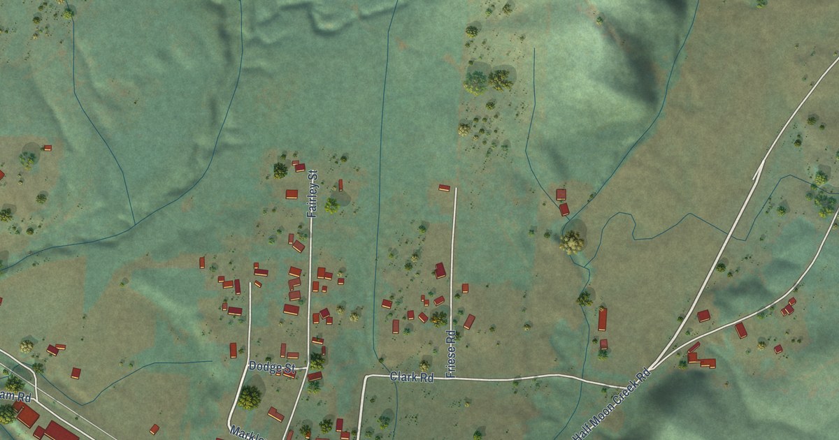
A detailed map of Lebam, Washington, showing every building in its true location, the roads by name, and shaded topographical relief.
Read More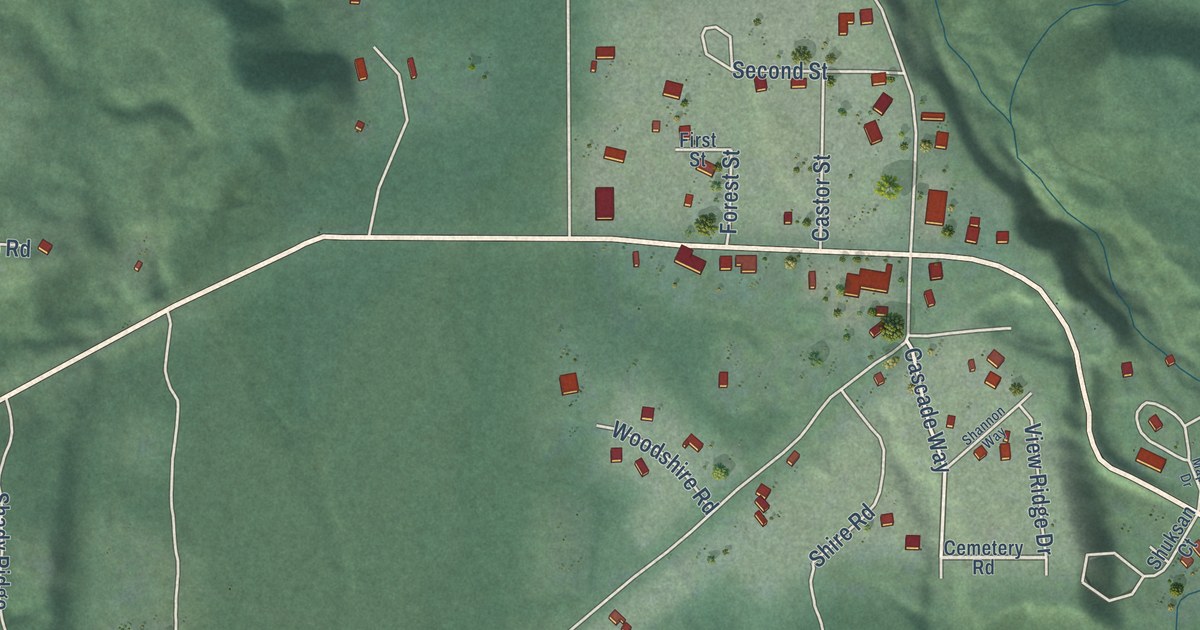
A detailed map of Maple Falls, Washington, showing every building in its true location, the roads by name, and shaded topographical relief.
Read More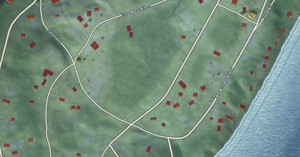
A detailed map of Herron Island, Washington, showing every building in its true location, the roads by name, and shaded topographical relief.
Read More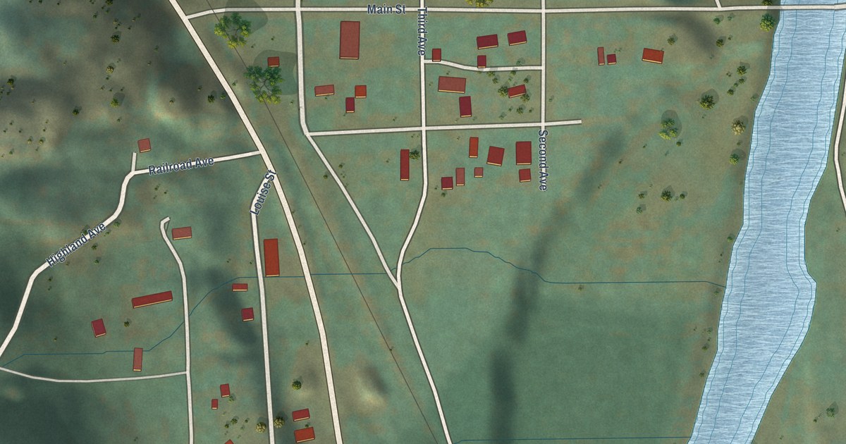
A detailed map of Orient, Washington, showing every building in its true location, the roads by name, and shaded topographical relief.
Read More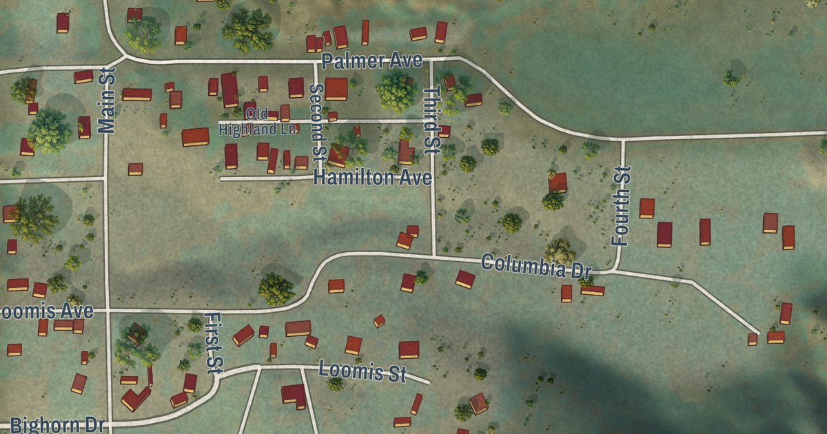
A detailed map of Loomis, Washington, showing every building in its true location, the roads by name, and shaded topographical relief.
Read More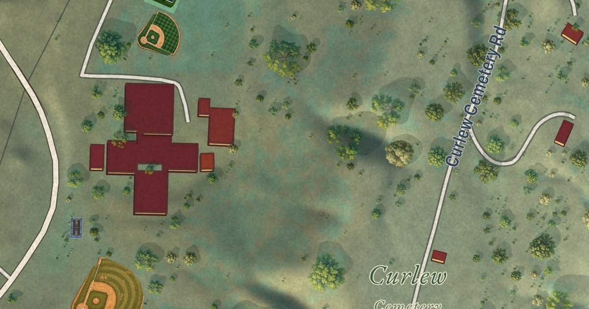
A detailed map of Curlew, Washington, showing every building in its true location, the roads by name, and shaded topographical relief.
Read More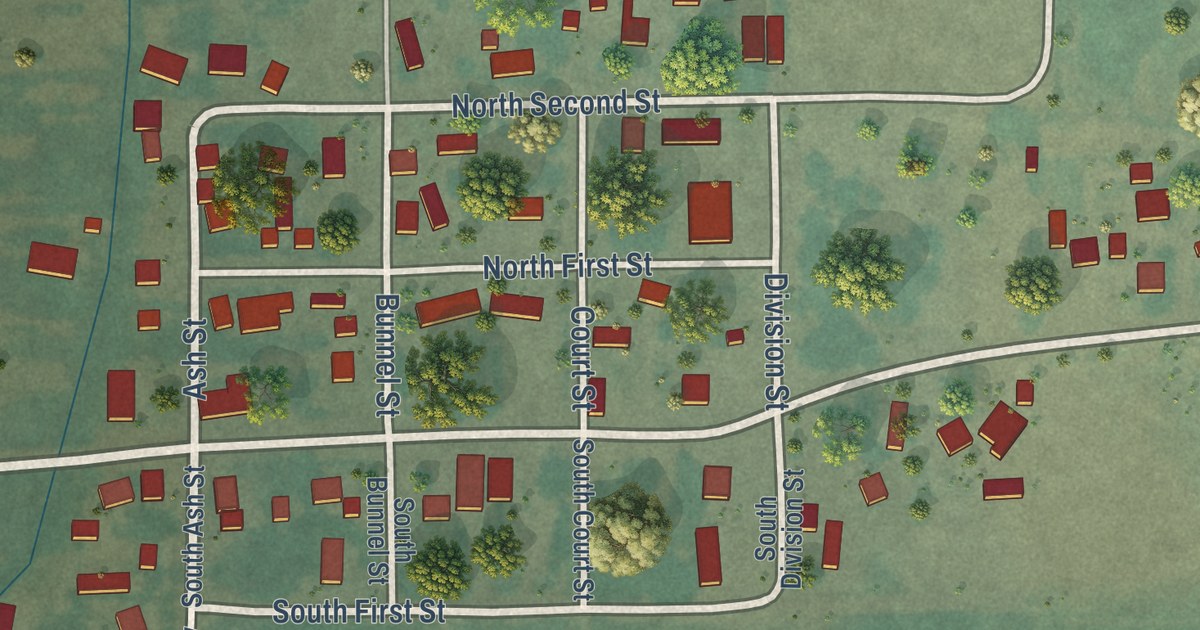
A detailed map of Glenwood, Washington, showing every building in its true location, the roads by name, and shaded topographical relief.
Read More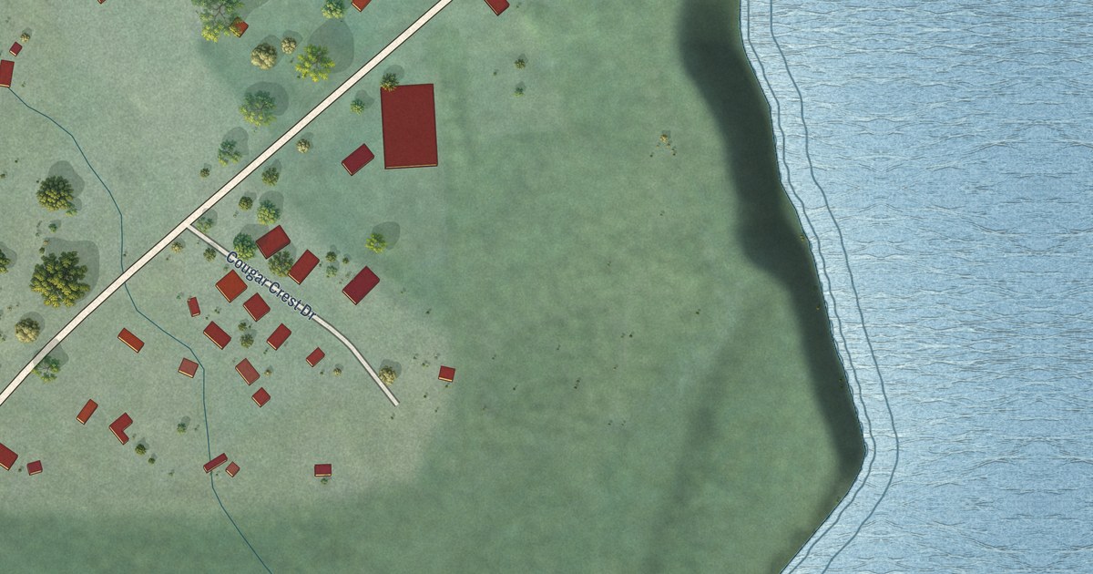
A detailed map of Cougar, Washington, showing every building in its true location, the roads by name, and shaded topographical relief.
Read More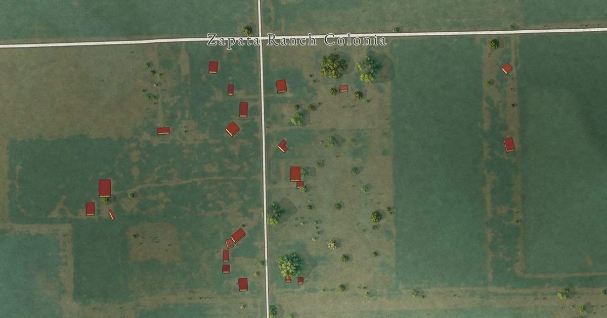
A detailed map of Zapata Ranch, Texas, showing every building in its true location, the roads by name, and shaded topographical relief.
Read More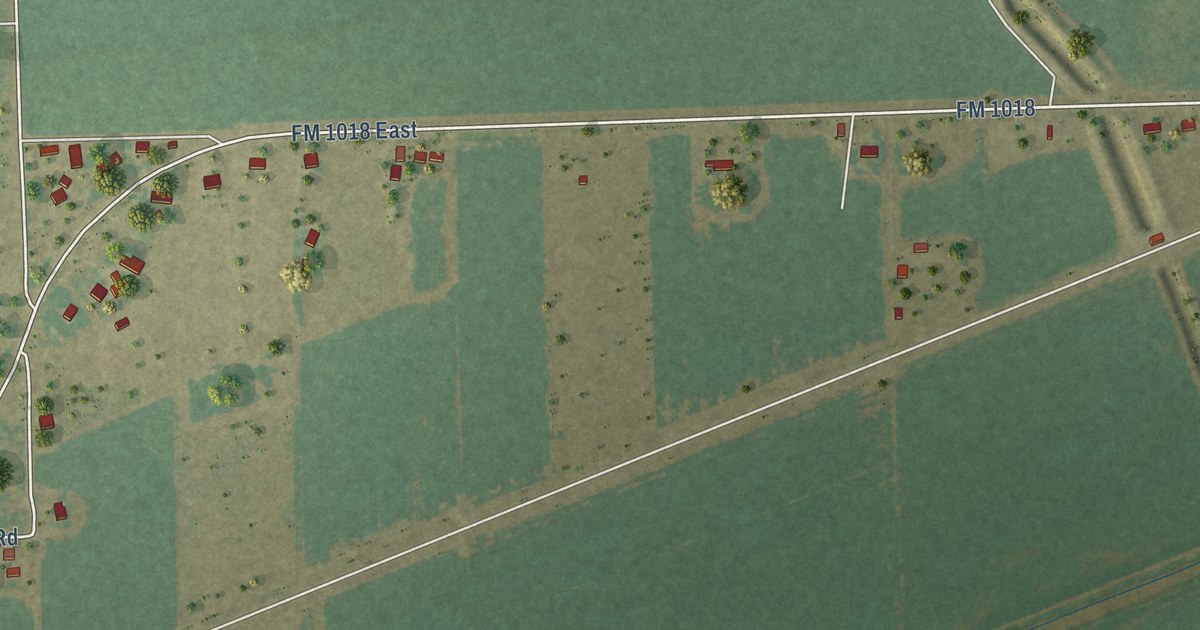
A detailed map of Santa Monica, Texas, showing every building in its true location, the roads by name, and shaded topographical relief.
Read More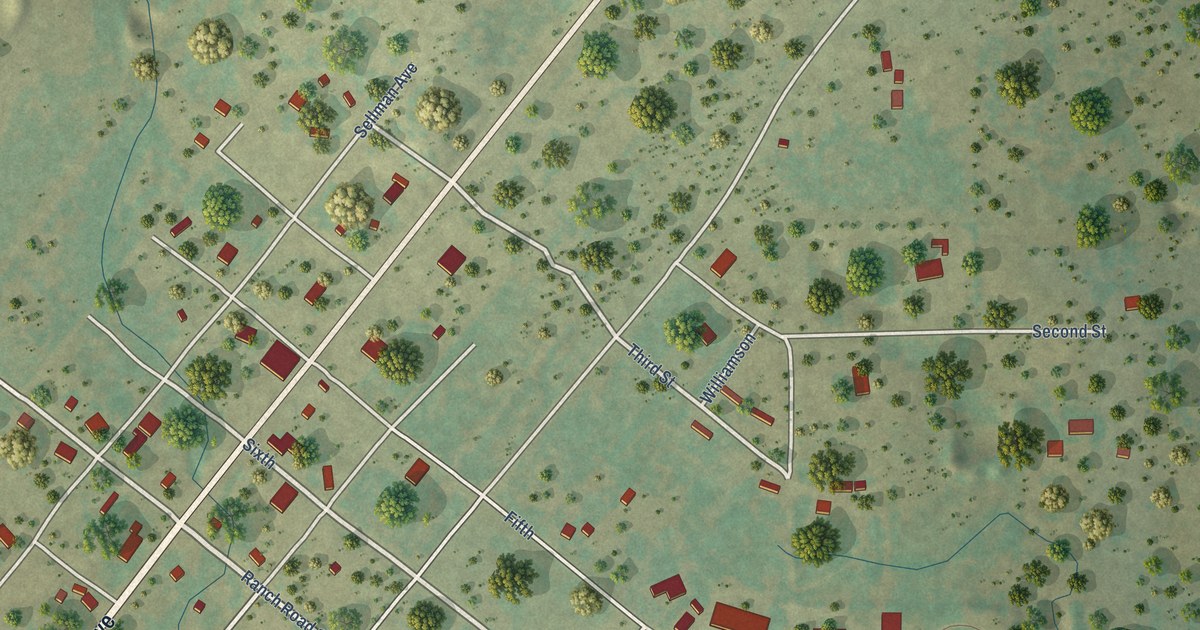
A detailed map of Rochelle, Texas, showing every building in its true location, the roads by name, and shaded topographical relief.
Read More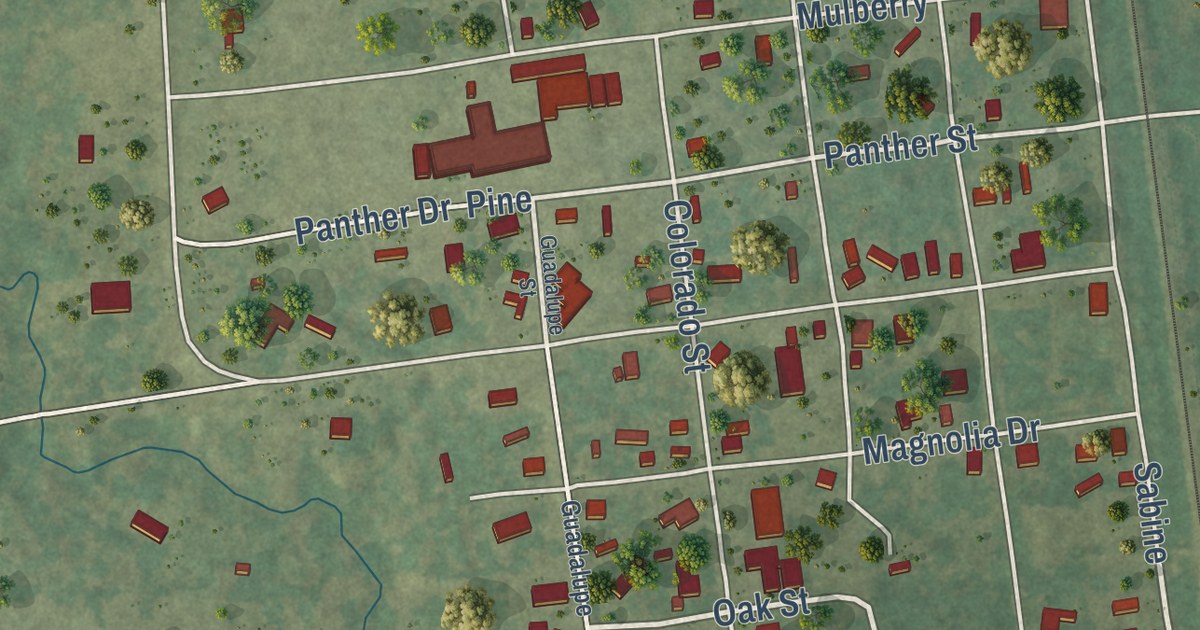
A detailed map of Richards, Texas, showing every building in its true location, the roads by name, and shaded topographical relief.
Read More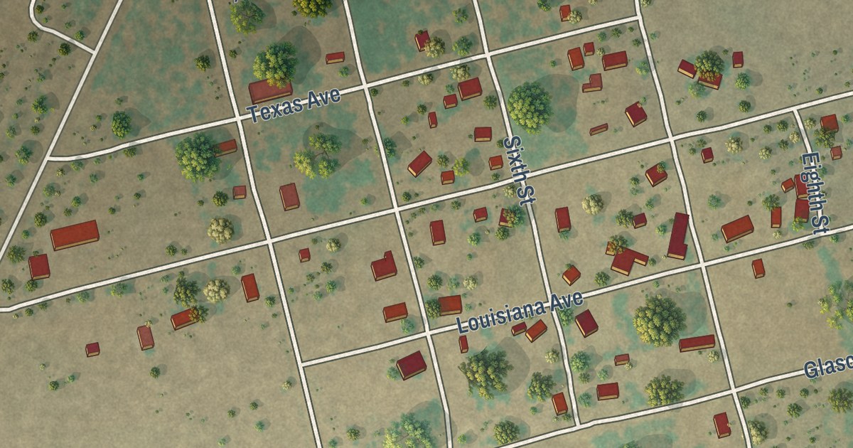
A detailed map of McCaulley, Texas, showing every building in its true location, the roads by name, and shaded topographical relief.
Read More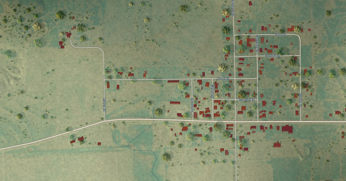
A detailed map of Loving, Texas, showing every building in its true location, the roads by name, and shaded topographical relief.
Read More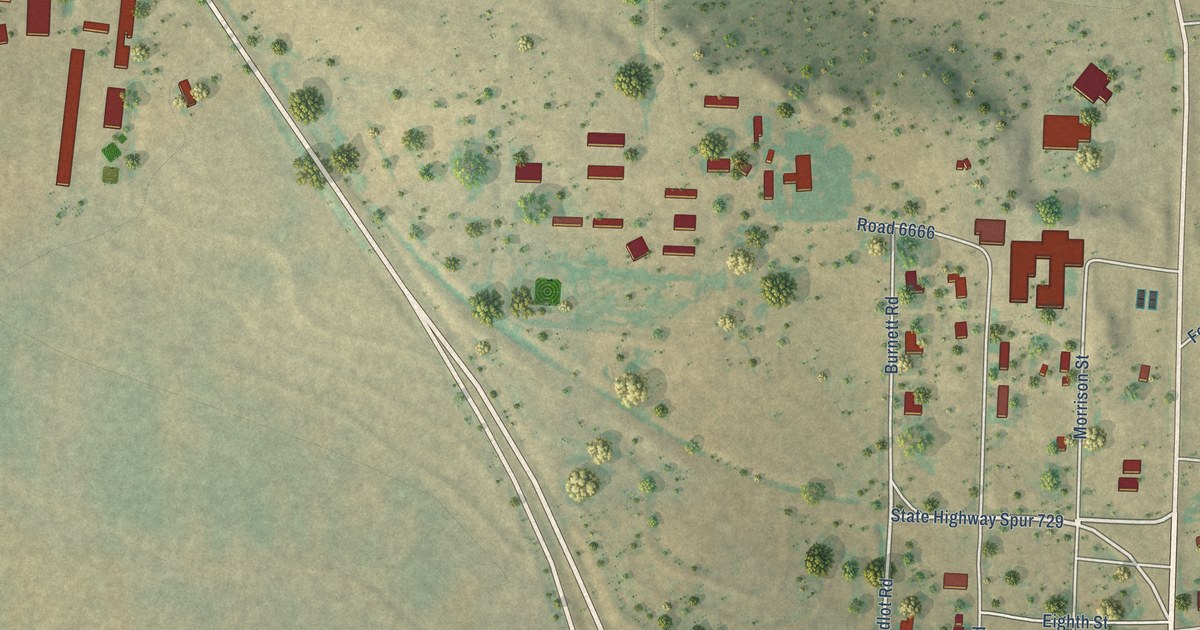
A detailed map of Guthrie, Texas, showing every building in its true location, the roads by name, and shaded topographical relief.
Read More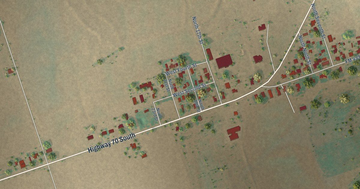
A detailed map of Lockett, Texas, showing every building in its true location, the roads by name, and shaded topographical relief.
Read More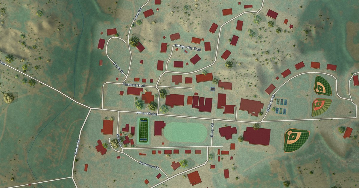
A detailed map of Boys Ranch, Texas, showing every building in its true location, the roads by name, and shaded topographical relief.
Read More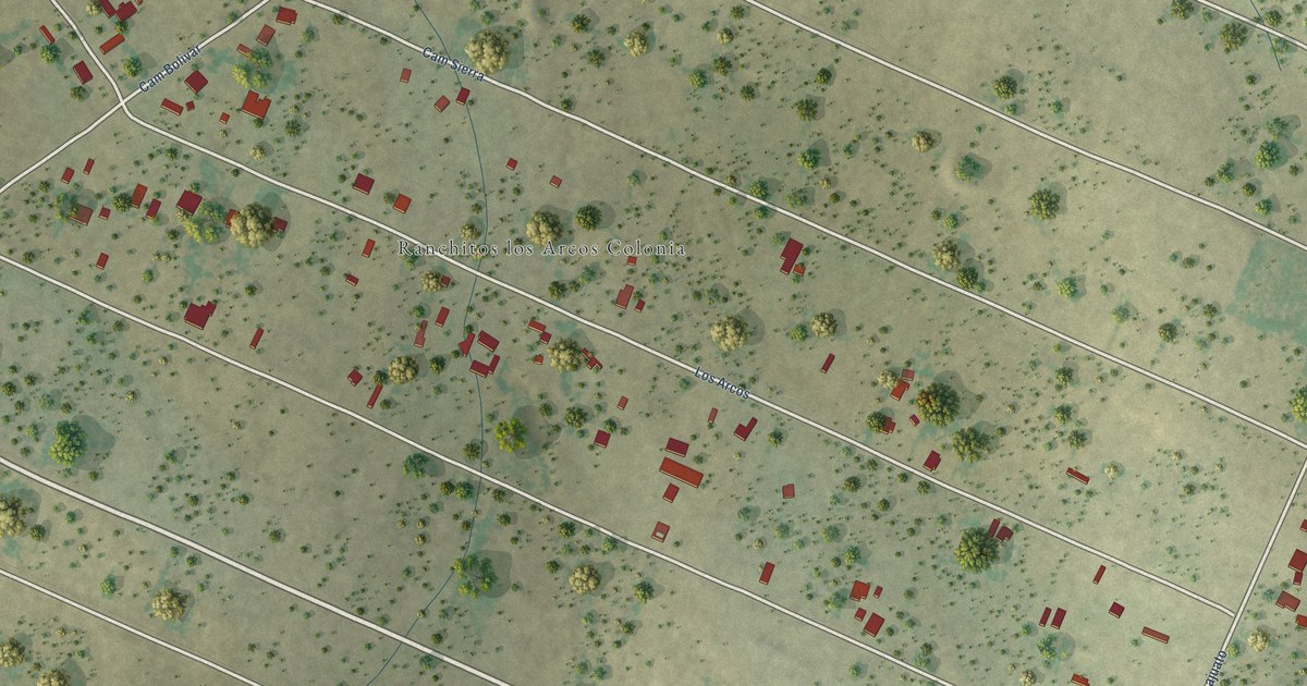
A detailed map of Los Arcos, Texas, showing every building in its true location, the roads by name, and shaded topographical relief.
Read More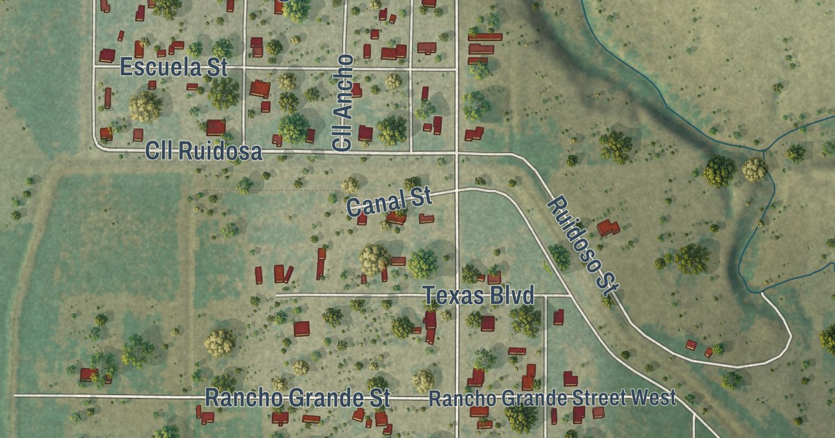
A detailed map of El Indio, Texas, showing every building in its true location, the roads by name, and shaded topographical relief.
Read More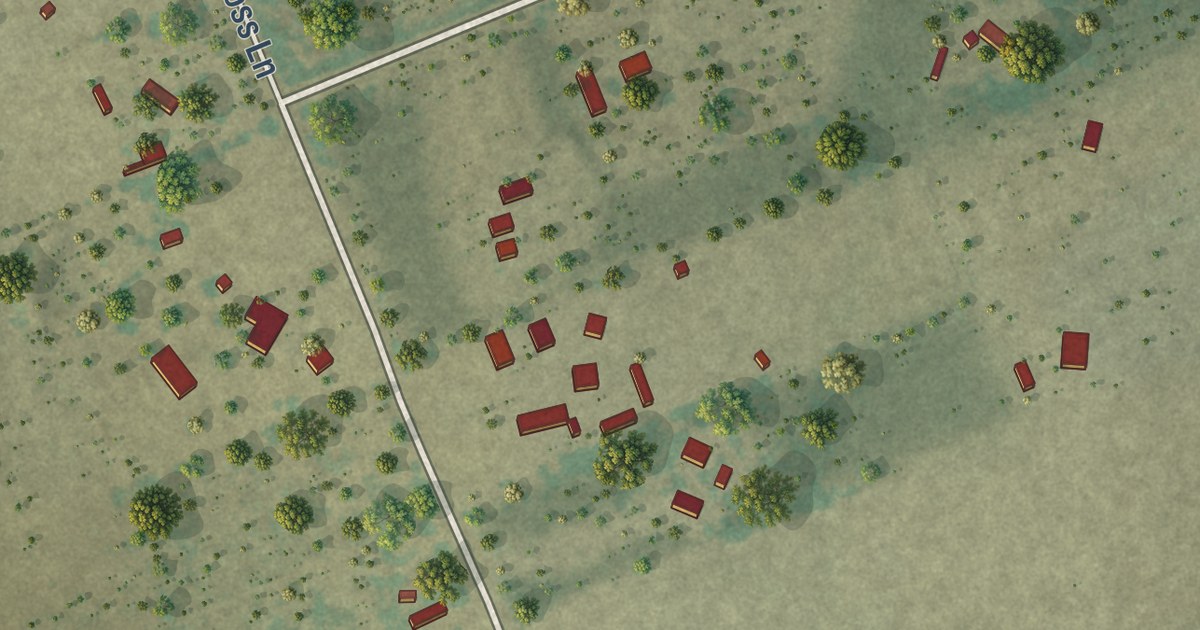
A detailed map of Botines, Texas, showing every building in its true location, the roads by name, and shaded topographical relief.
Read More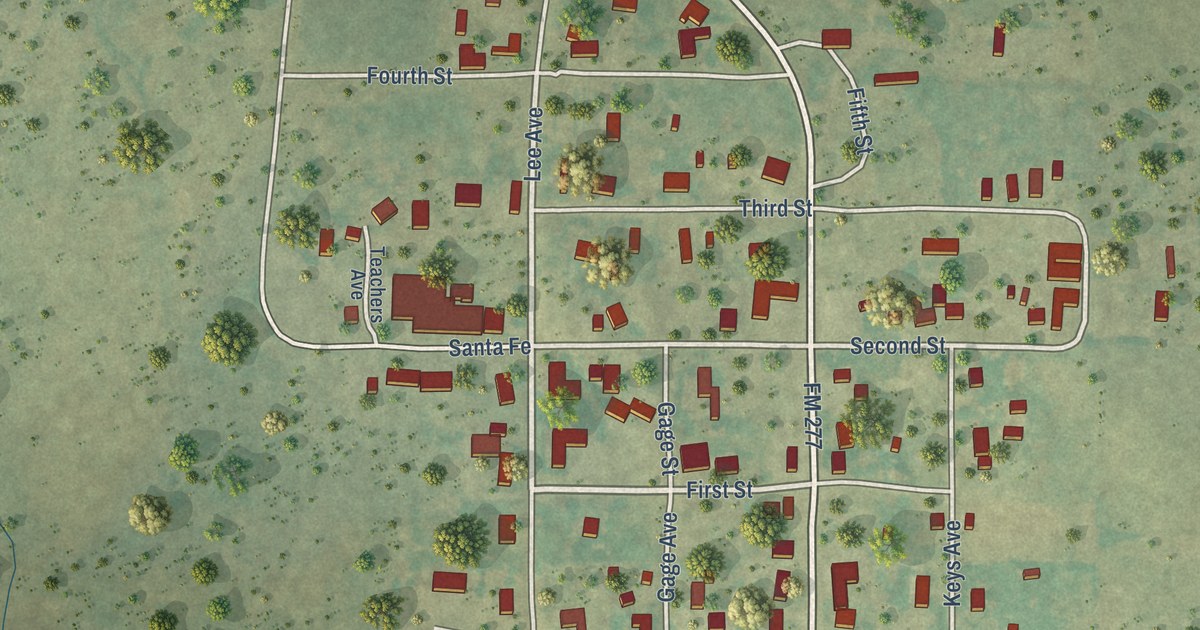
A detailed map of Allison, Texas, showing every building in its true location, the roads by name, and shaded topographical relief.
Read More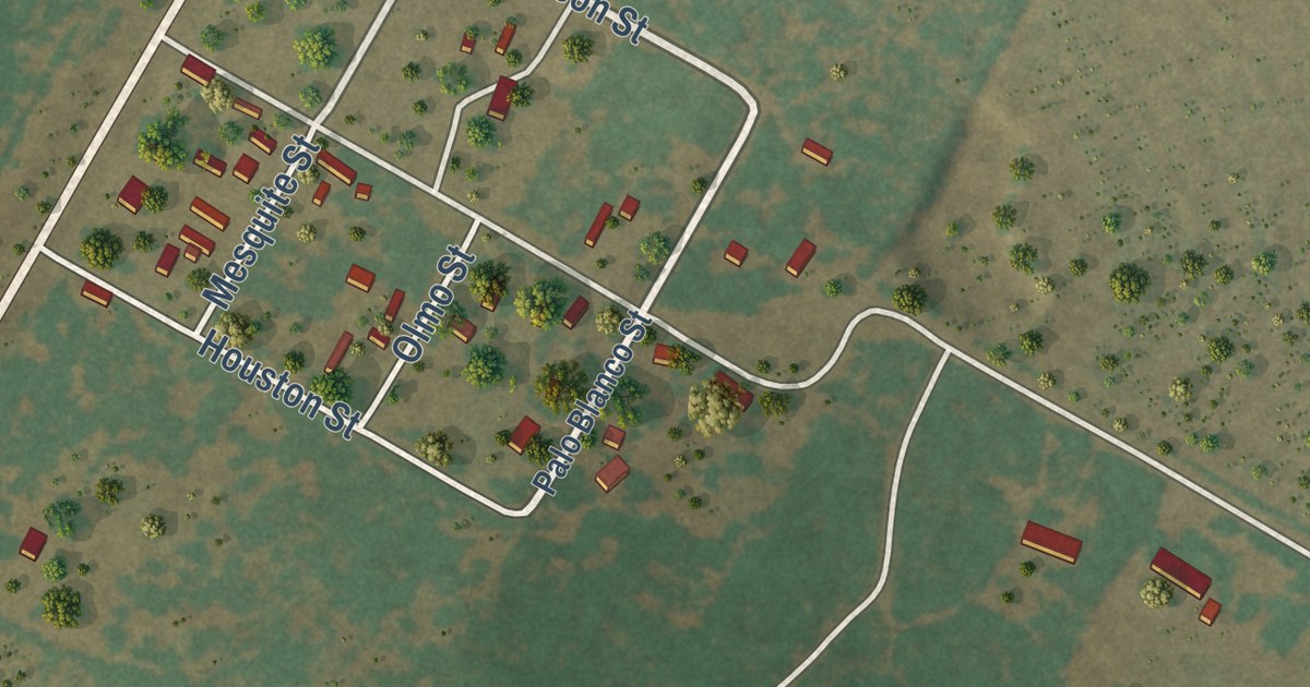
A detailed map of Alfred, Texas, showing every building in its true location, the roads by name, and shaded topographical relief.
Read More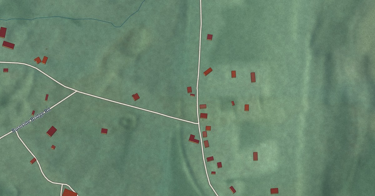
A detailed map of Mount Briar, Maryland, showing every building in its true location, the roads by name, and shaded topographical relief.
Read More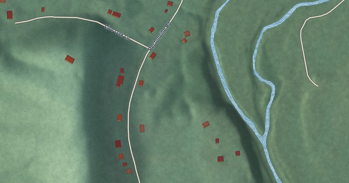
A detailed map of Pecktonville, Maryland, showing every building in its true location, the roads by name, and shaded topographical relief.
Read More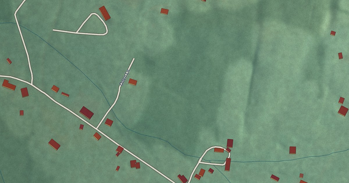
A detailed map of Pondsville, Maryland, showing every building in its true location, the roads by name, and shaded topographical relief.
Read More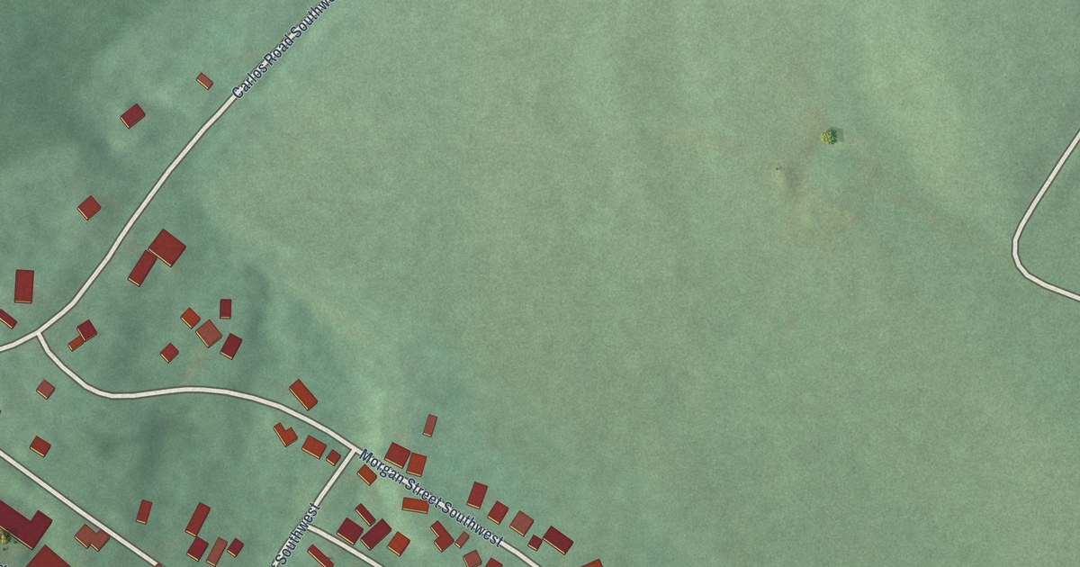
A detailed map of Carlos, Maryland, showing every building in its true location, the roads by name, and shaded topographical relief.
Read More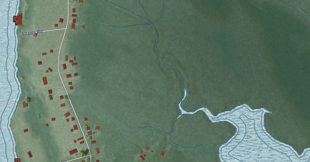
A detailed map of Fishing Creek, Maryland, showing every building in its true location, the roads by name, and shaded topographical relief.
Read More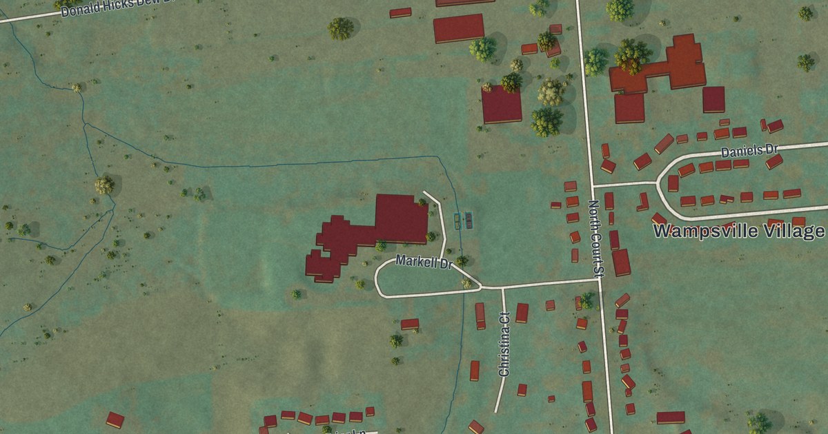
A detailed map of Wampsville, New York, showing every building in its true location, the roads by name, and shaded topographical relief.
Read More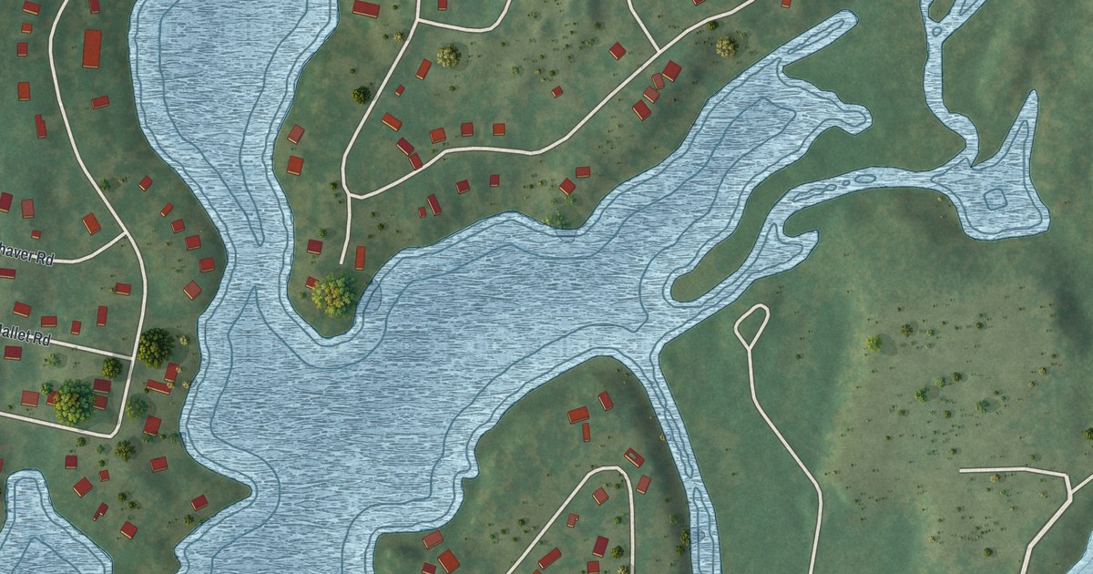
A detailed map of Taconic Shores, New York, showing every building in its true location, the roads by name, and shaded topographical relief.
Read More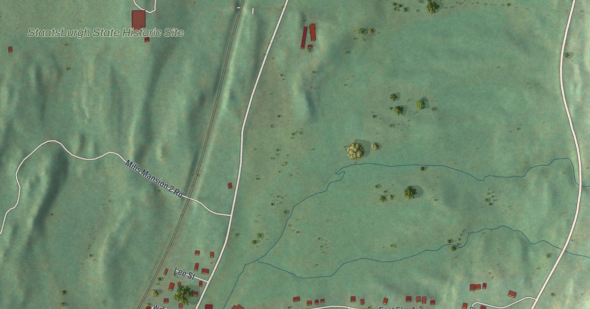
A detailed map of Staatsburg, New York, showing every building in its true location, the roads by name, and shaded topographical relief.
Read More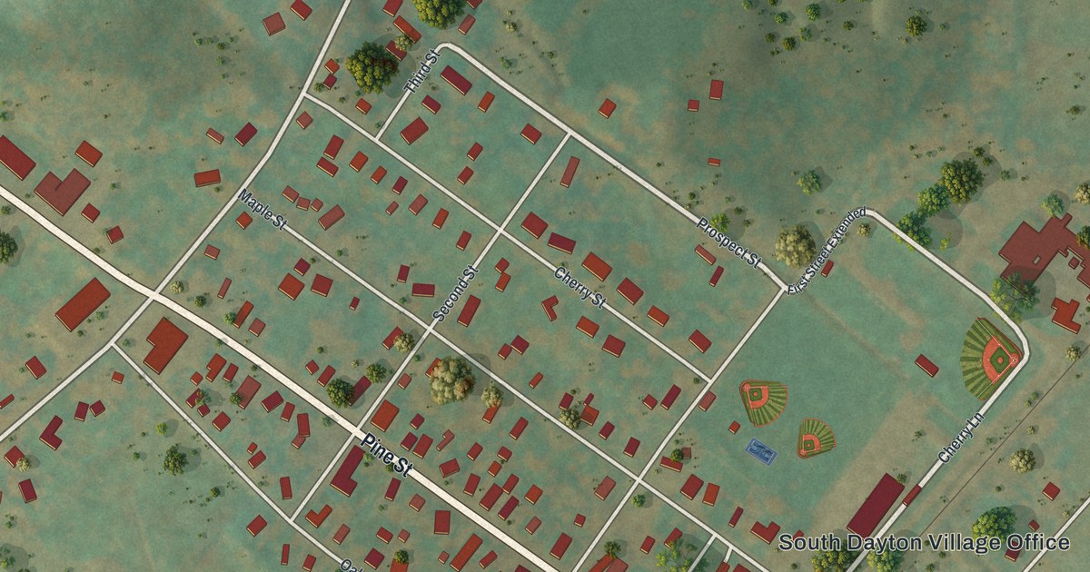
A detailed map of South Dayton, New York, showing every building in its true location, the roads by name, and shaded topographical relief.
Read More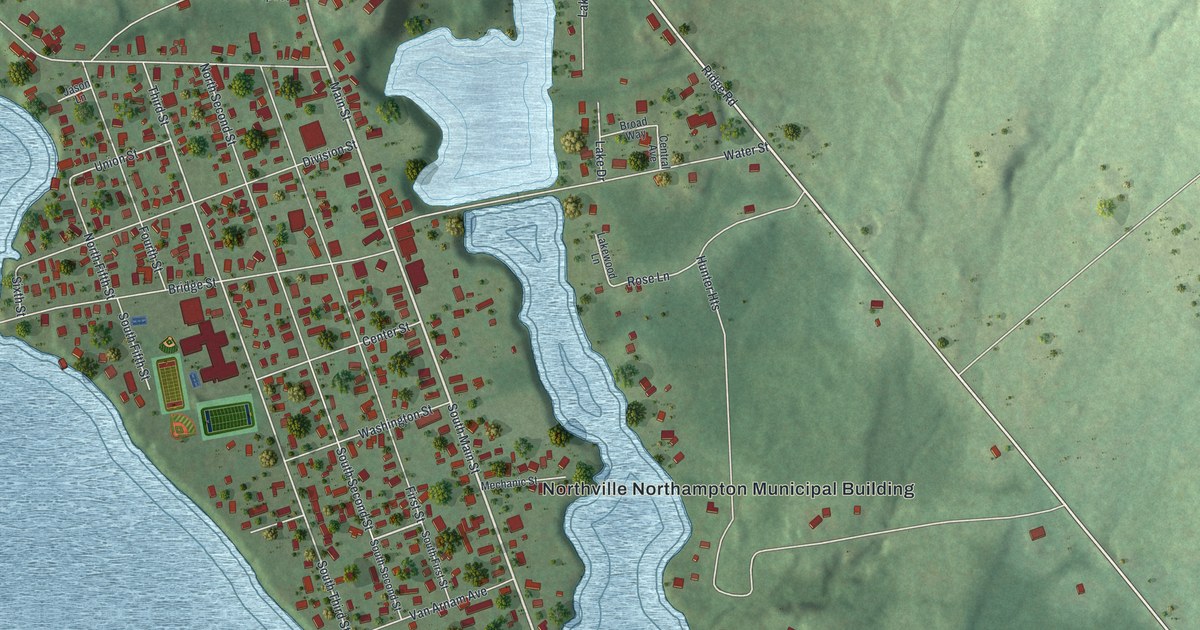
A detailed map of Northville, New York, showing every building in its true location, the roads by name, and shaded topographical relief.
Read More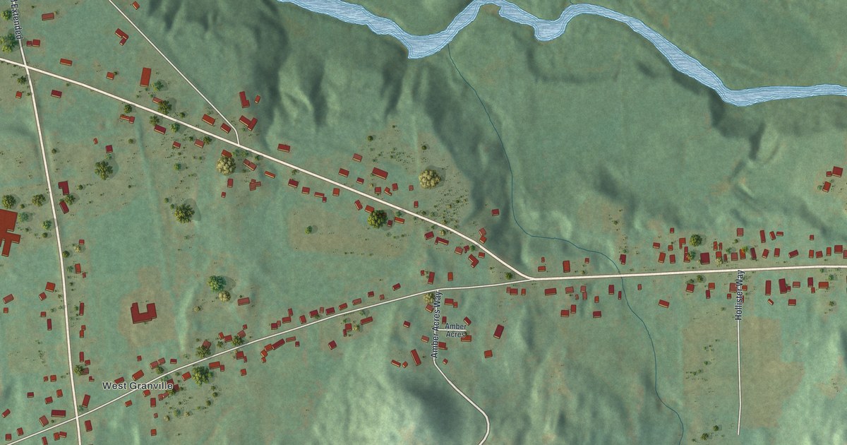
A detailed map of North Granville, New York, showing every building in its true location, the roads by name, and shaded topographical relief.
Read More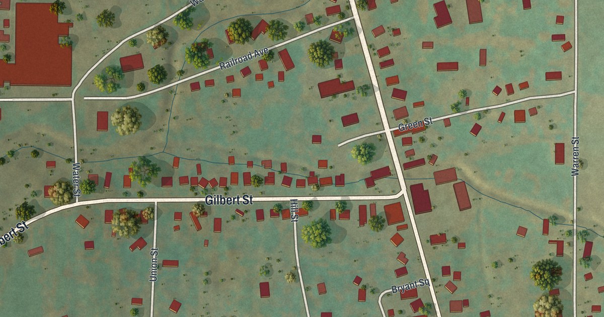
A detailed map of Rushville, New York, showing every building in its true location, the roads by name, and shaded topographical relief.
Read More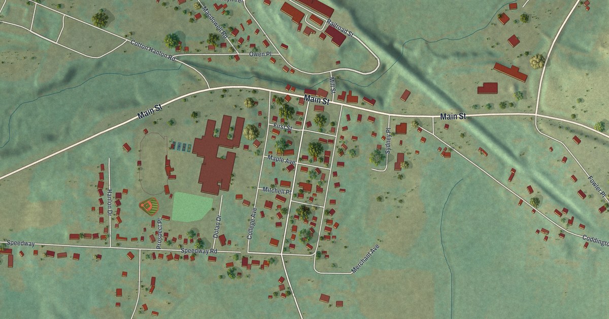
A detailed map of Odessa, New York, showing every building in its true location, the roads by name, and shaded topographical relief.
Read More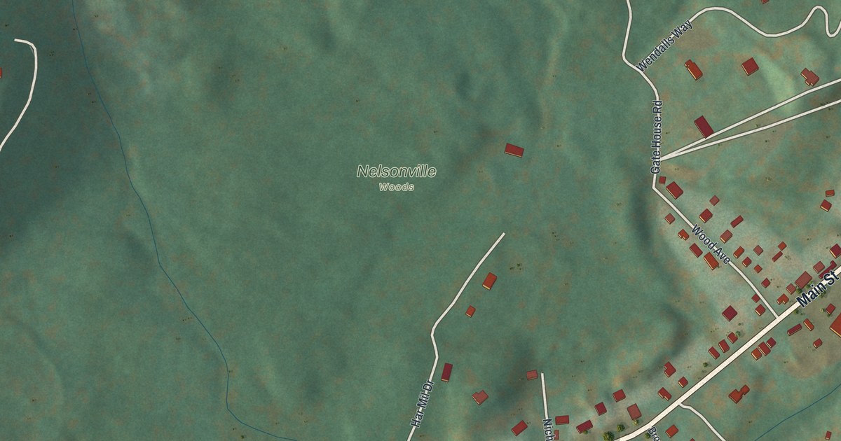
A detailed map of Nelsonville, New York, showing every building in its true location, the roads by name, and shaded topographical relief.
Read More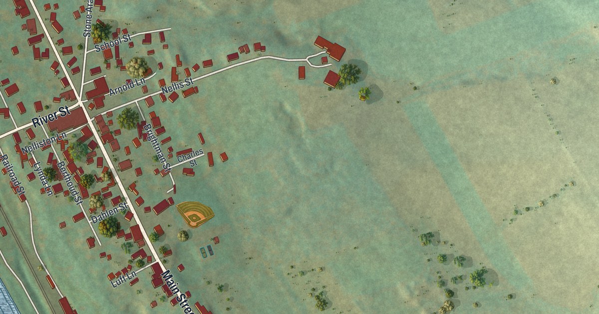
A detailed map of Nelliston, New York, showing every building in its true location, the roads by name, and shaded topographical relief.
Read More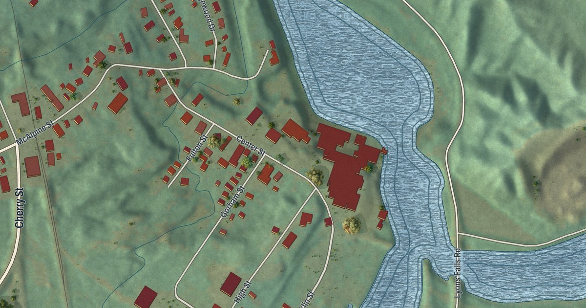
A detailed map of Lyons Falls, New York, showing every building in its true location, the roads by name, and shaded topographical relief.
Read More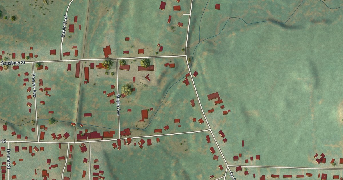
A detailed map of Lacona, New York, showing every building in its true location, the roads by name, and shaded topographical relief.
Read More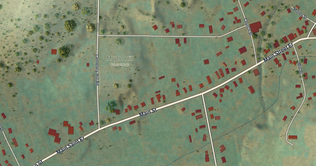
A detailed map of East Randolph, New York, showing every building in its true location, the roads by name, and shaded topographical relief.
Read More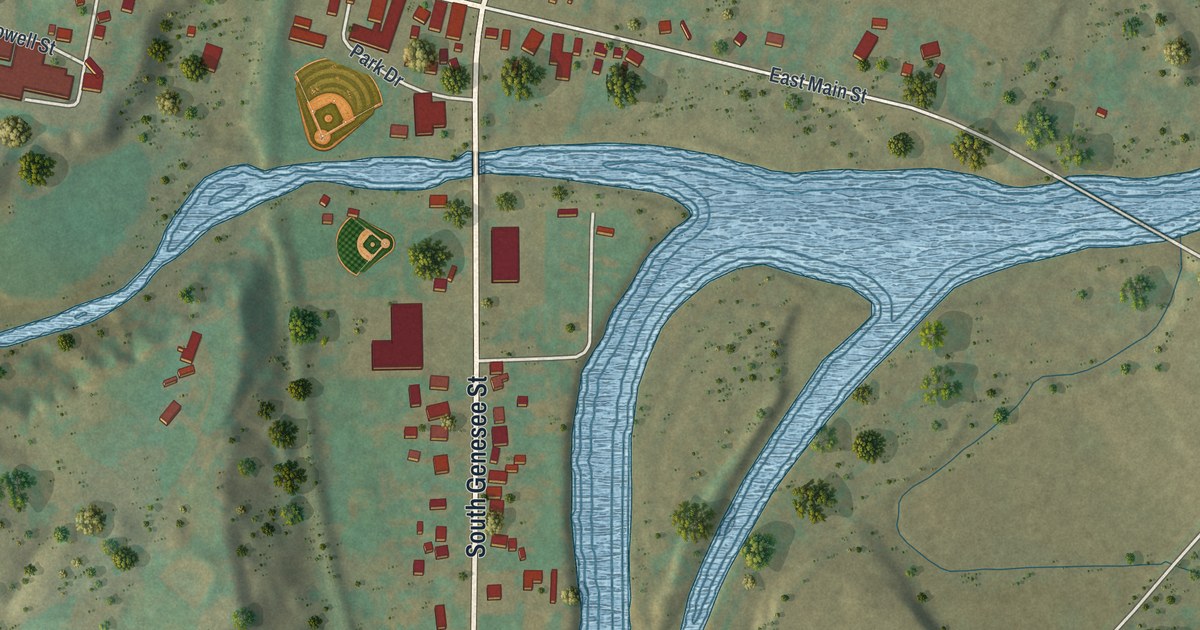
A detailed map of Fillmore, New York, showing every building in its true location, the roads by name, and shaded topographical relief.
Read More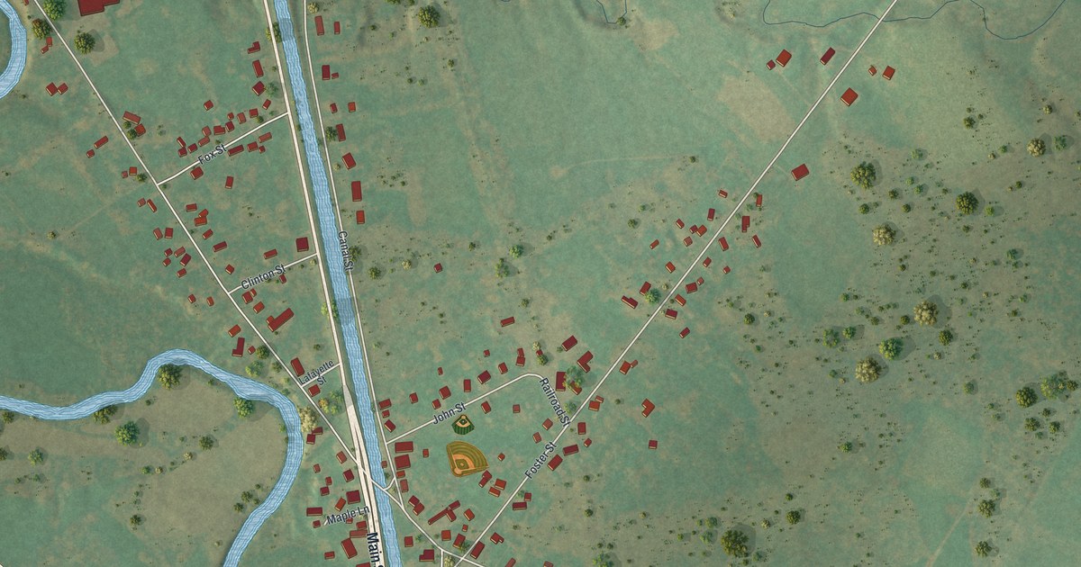
A detailed map of Durhamville, New York, showing every building in its true location, the roads by name, and shaded topographical relief.
Read More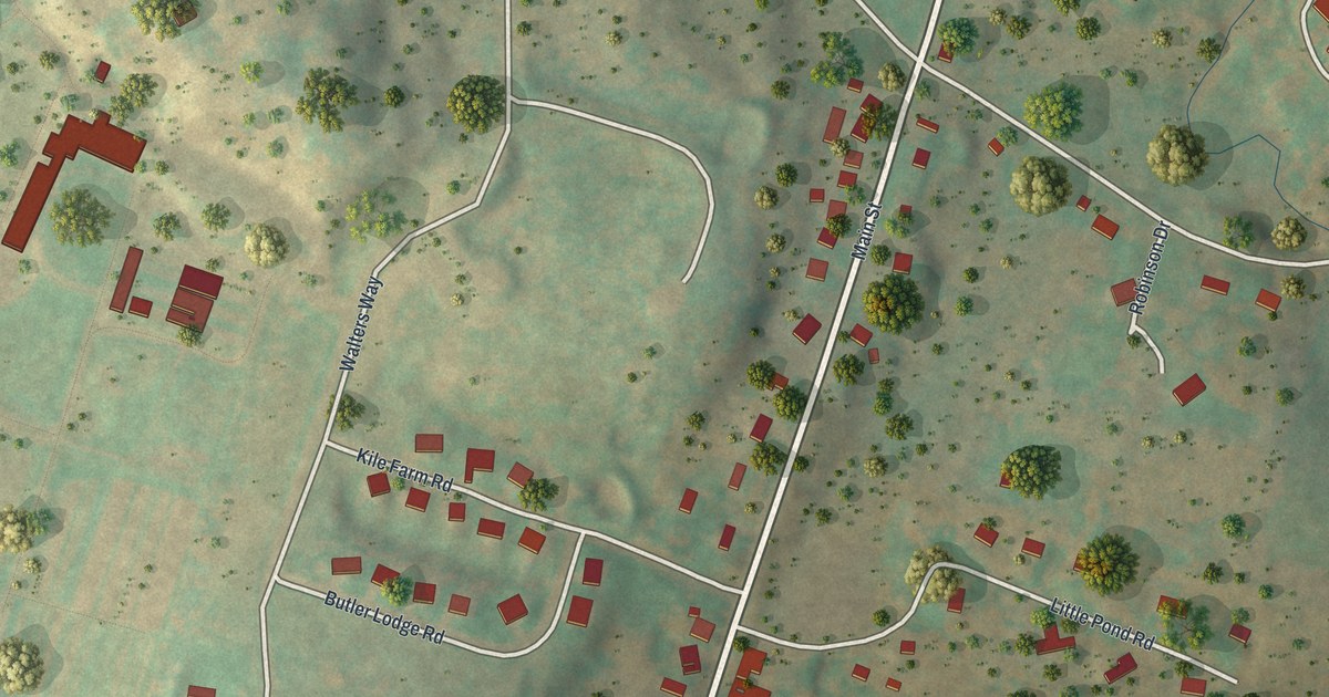
A detailed map of Hurleyville, New York, showing every building in its true location, the roads by name, and shaded topographical relief.
Read More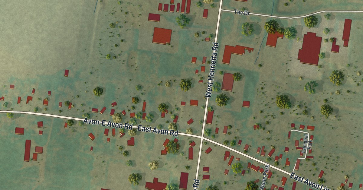
A detailed map of East Avon, New York, showing every building in its true location, the roads by name, and shaded topographical relief.
Read More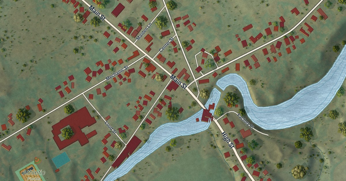
A detailed map of Copenhagen, New York, showing every building in its true location, the roads by name, and shaded topographical relief.
Read More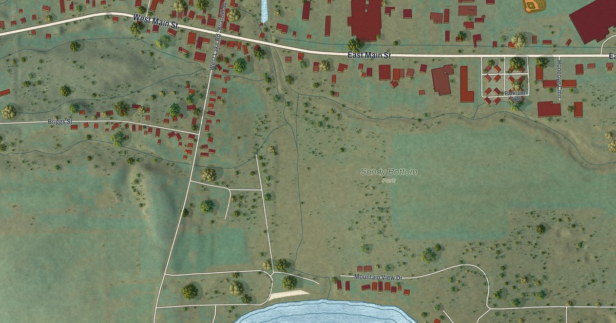
A detailed map of Honeoye, New York, showing every building in its true location, the roads by name, and shaded topographical relief.
Read More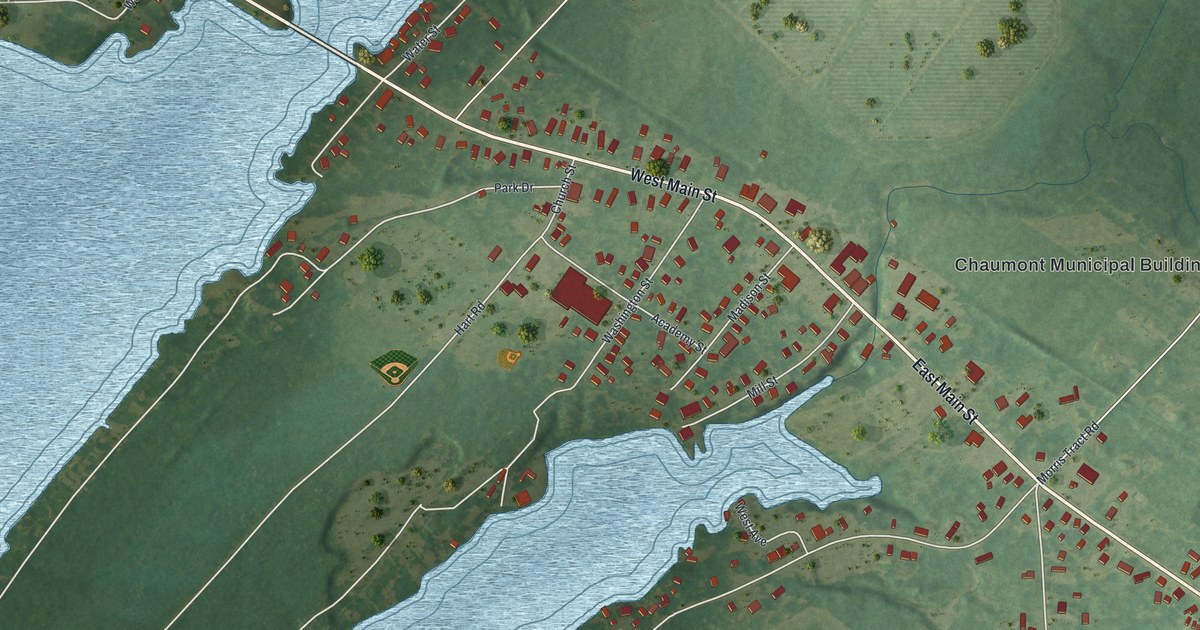
A detailed map of Chaumont, New York, showing every building in its true location, the roads by name, and shaded topographical relief.
Read More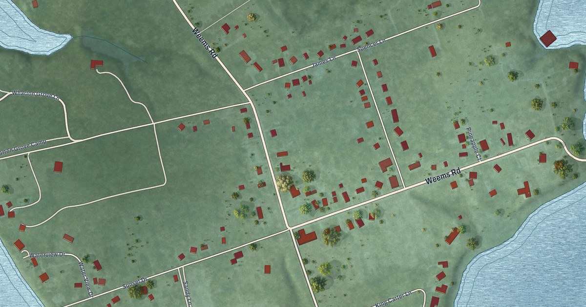
A detailed map of Weems, Virginia, showing every building in its true location, the roads by name, and shaded topographical relief.
Read More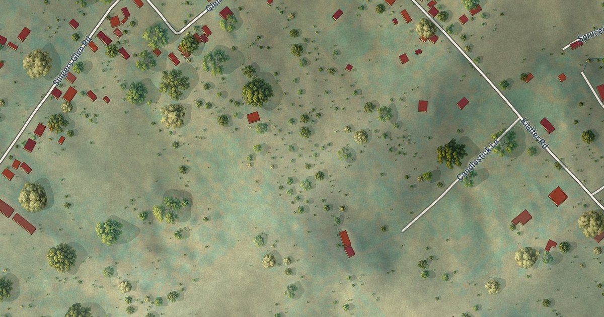
A detailed map of Singers Glen, Virginia, showing every building in its true location, the roads by name, and shaded topographical relief.
Read More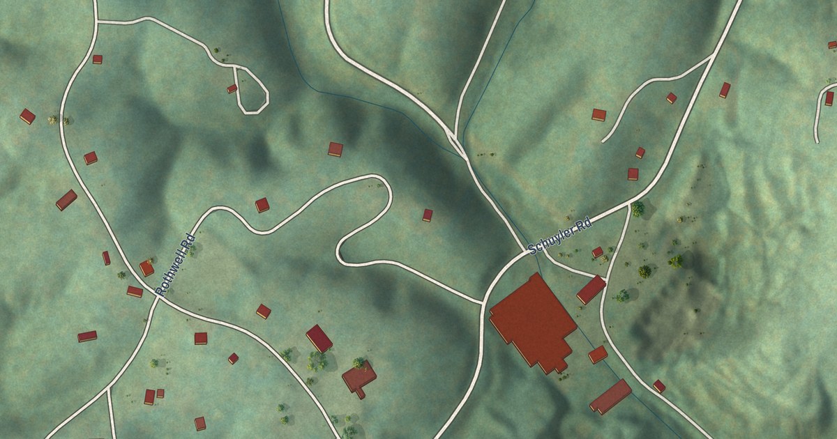
A detailed map of Schuyler, Virginia, showing every building in its true location, the roads by name, and shaded topographical relief.
Read More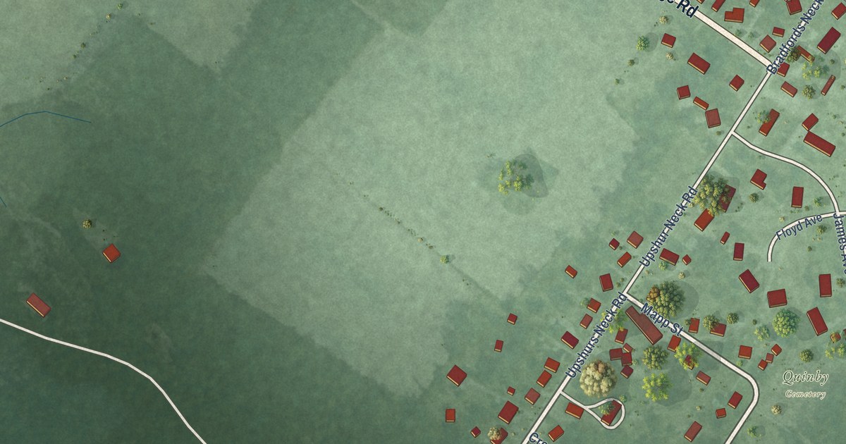
A detailed map of Quinby, Virginia, showing every building in its true location, the roads by name, and shaded topographical relief.
Read More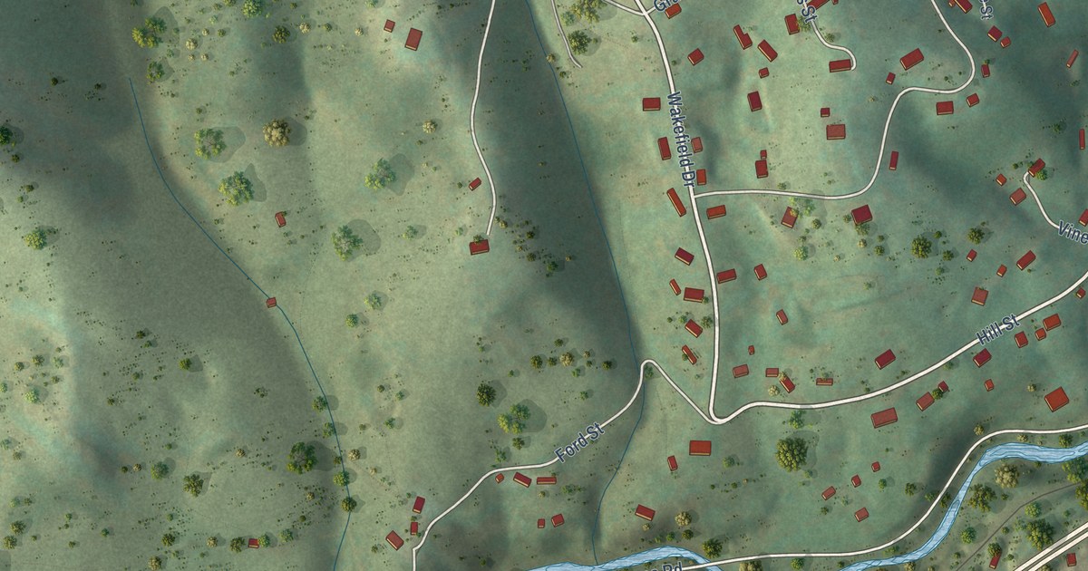
A detailed map of Pounding Mill, Virginia, showing every building in its true location, the roads by name, and shaded topographical relief.
Read More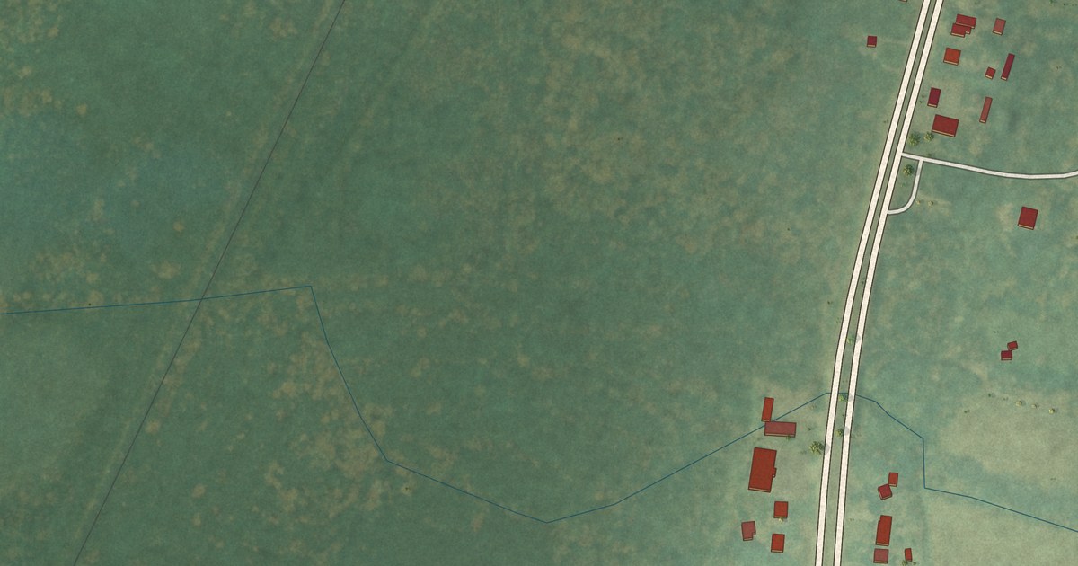
A detailed map of Oak Hall, Virginia, showing every building in its true location, the roads by name, and shaded topographical relief.
Read More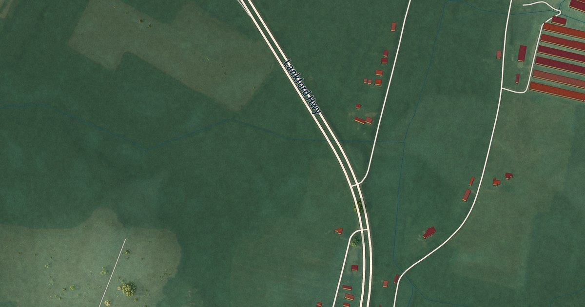
A detailed map of New Church, Virginia, showing every building in its true location, the roads by name, and shaded topographical relief.
Read More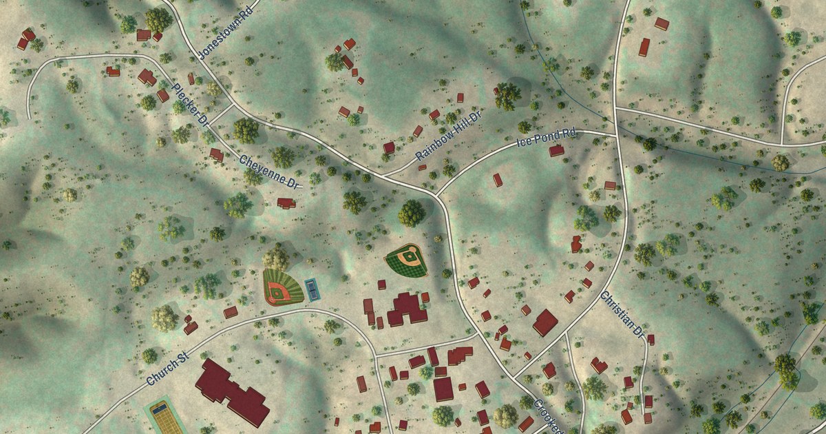
A detailed map of Millboro, Virginia, showing every building in its true location, the roads by name, and shaded topographical relief.
Read More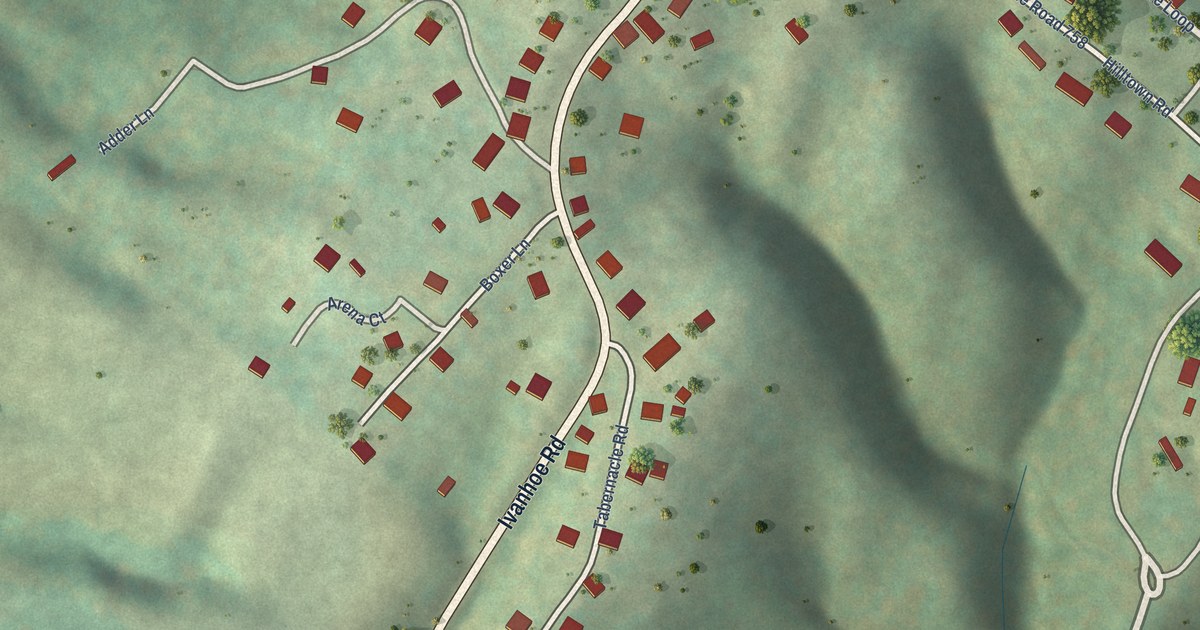
A detailed map of Hilltown, Virginia, showing every building in its true location, the roads by name, and shaded topographical relief.
Read More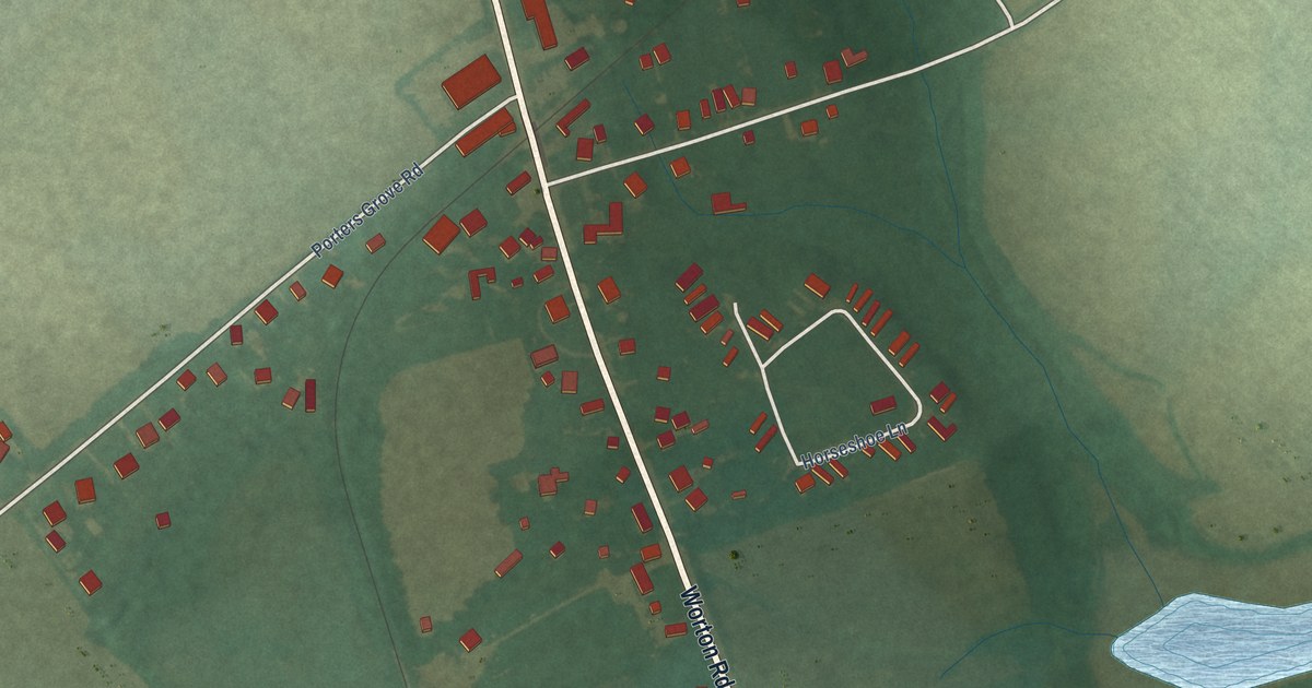
A detailed map of Worton, Maryland, showing every building in its true location, the roads by name, and shaded topographical relief.
Read More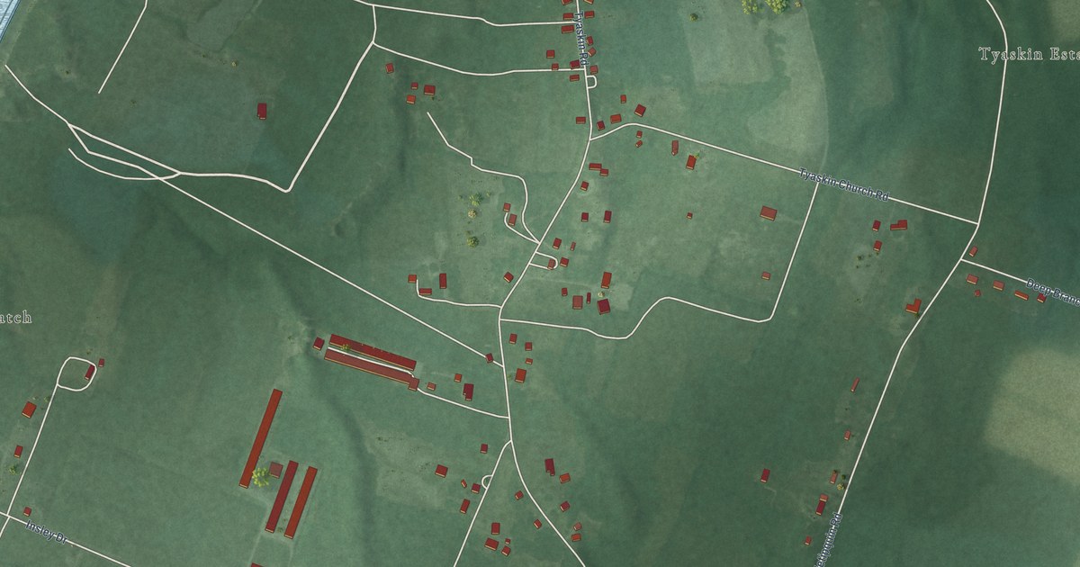
A detailed map of Tyaskin, Maryland, showing every building in its true location, the roads by name, and shaded topographical relief.
Read More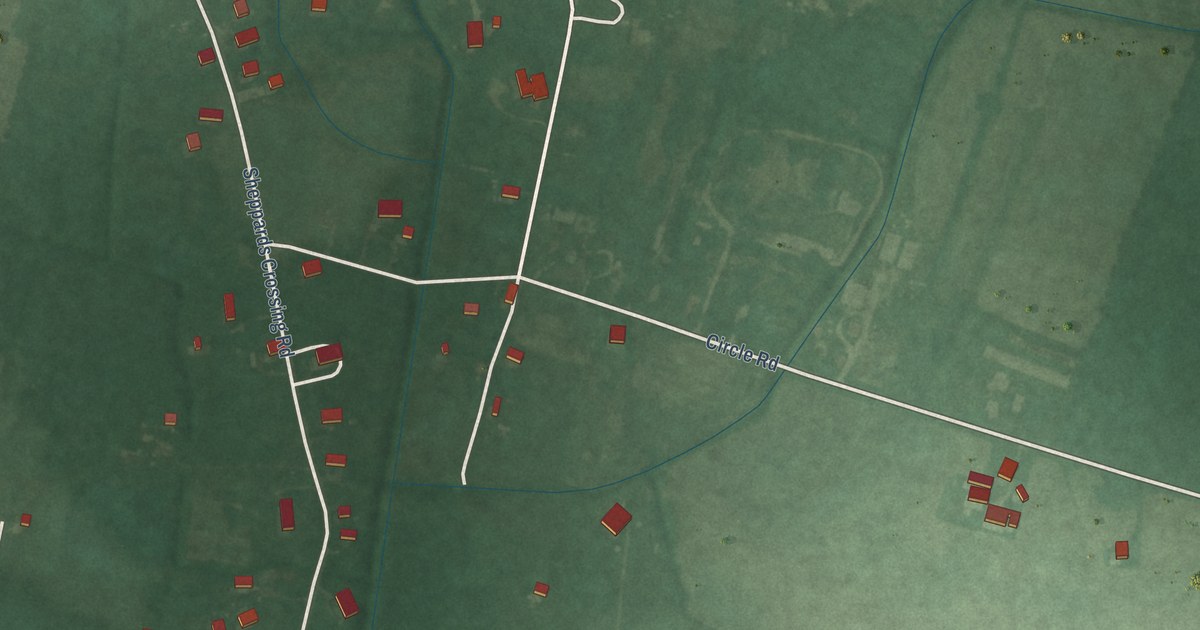
A detailed map of Whaleyville, Maryland, showing every building in its true location, the roads by name, and shaded topographical relief.
Read More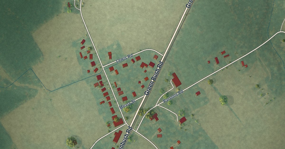
A detailed map of Greenbush, Virginia, showing every building in its true location, the roads by name, and shaded topographical relief.
Read More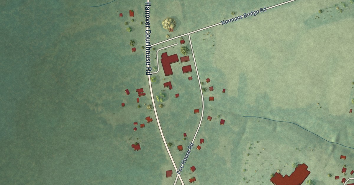
A detailed map of Hanover, Virginia, showing every building in its true location, the roads by name, and shaded topographical relief.
Read More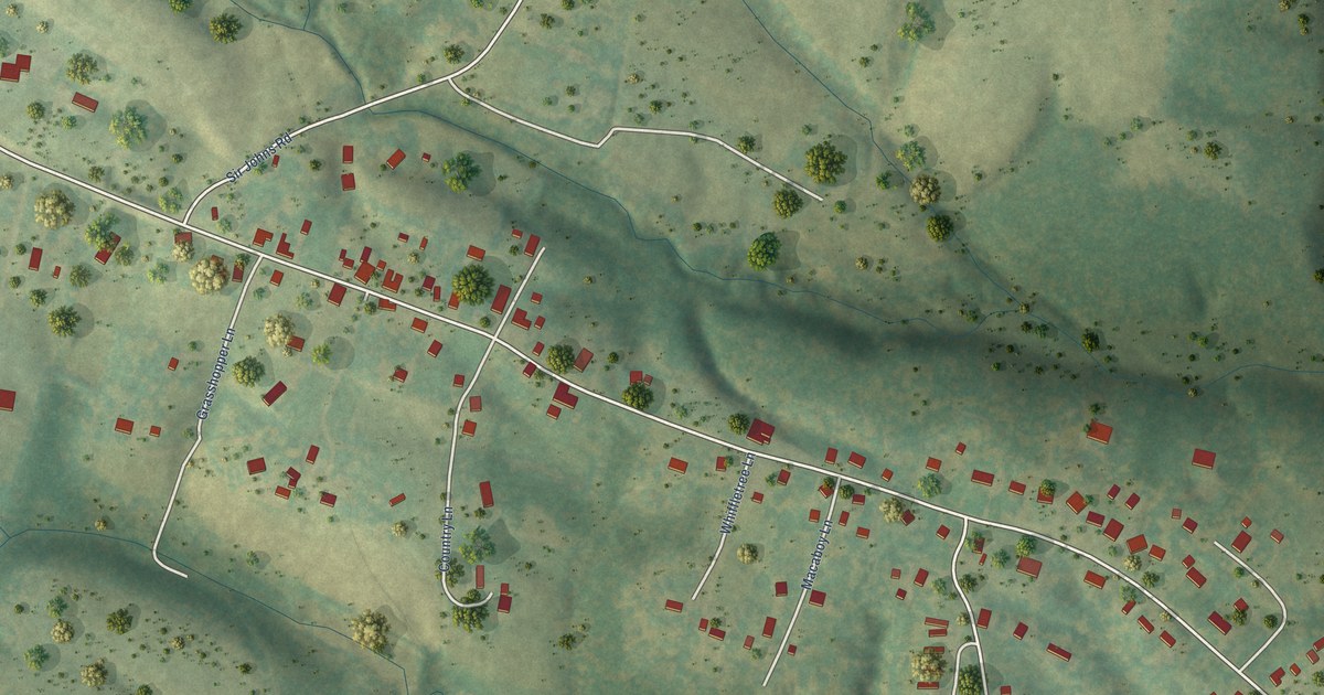
A detailed map of Brucetown, Virginia, showing every building in its true location, the roads by name, and shaded topographical relief.
Read More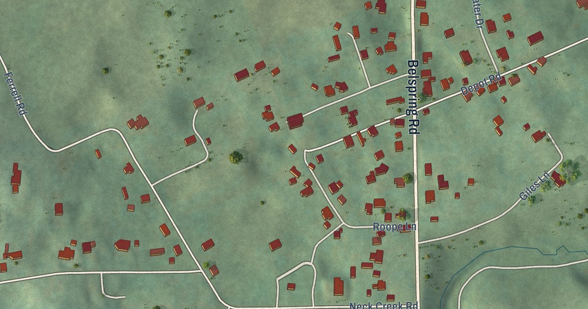
A detailed map of Belspring, Virginia, showing every building in its true location, the roads by name, and shaded topographical relief.
Read More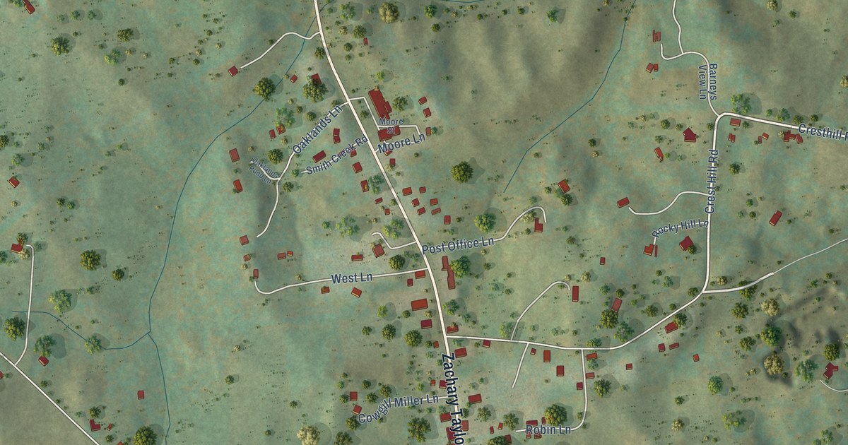
A detailed map of Flint Hill, Virginia, showing every building in its true location, the roads by name, and shaded topographical relief.
Read More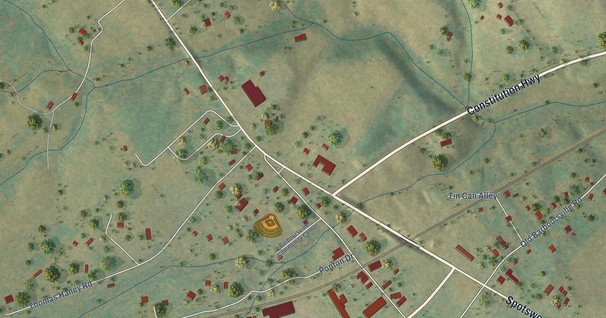
A detailed map of Barboursville, Virginia, showing every building in its true location, the roads by name, and shaded topographical relief.
Read More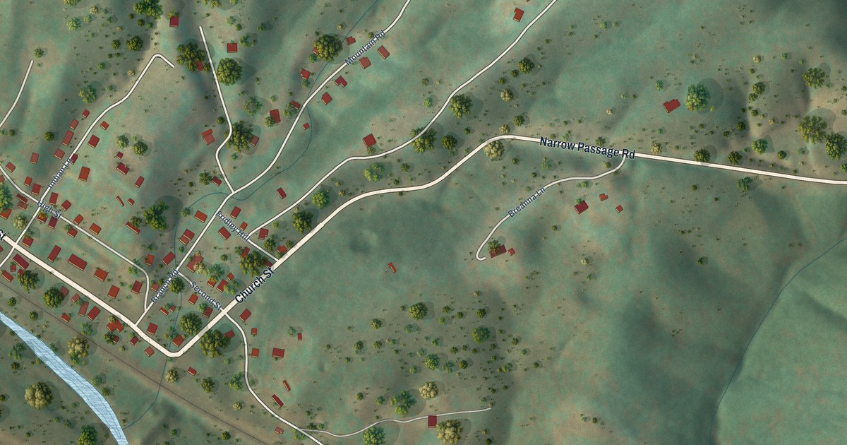
A detailed map of Eagle Rock, Virginia, showing every building in its true location, the roads by name, and shaded topographical relief.
Read More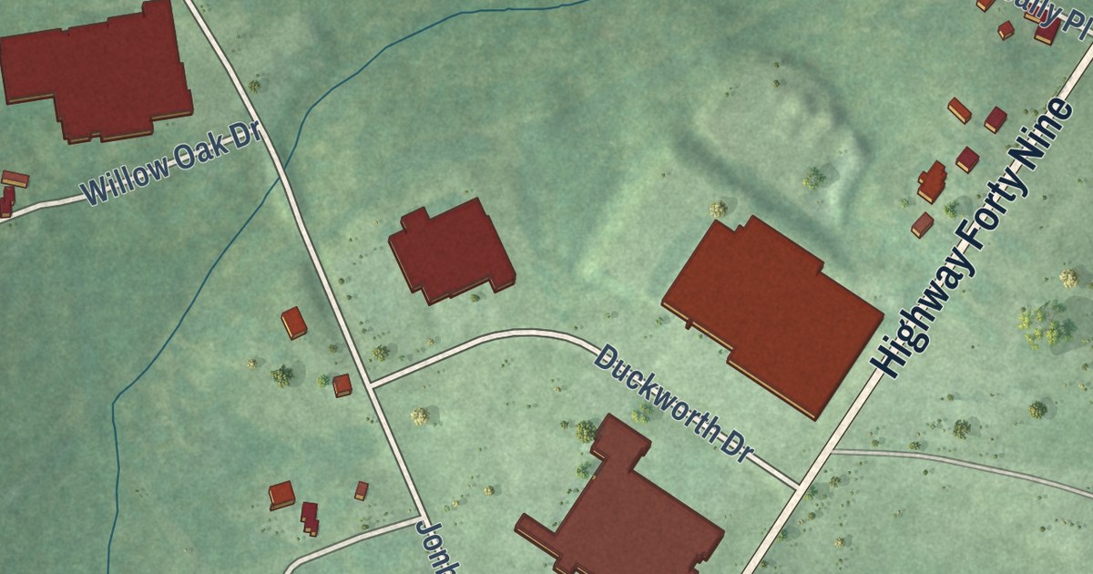
A detailed map of Fairview, Virginia, showing every building in its true location, the roads by name, and shaded topographical relief.
Read More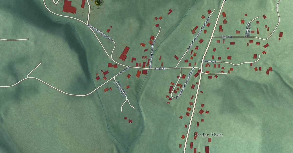
A detailed map of Shaft, Maryland, showing every building in its true location, the roads by name, and shaded topographical relief.
Read More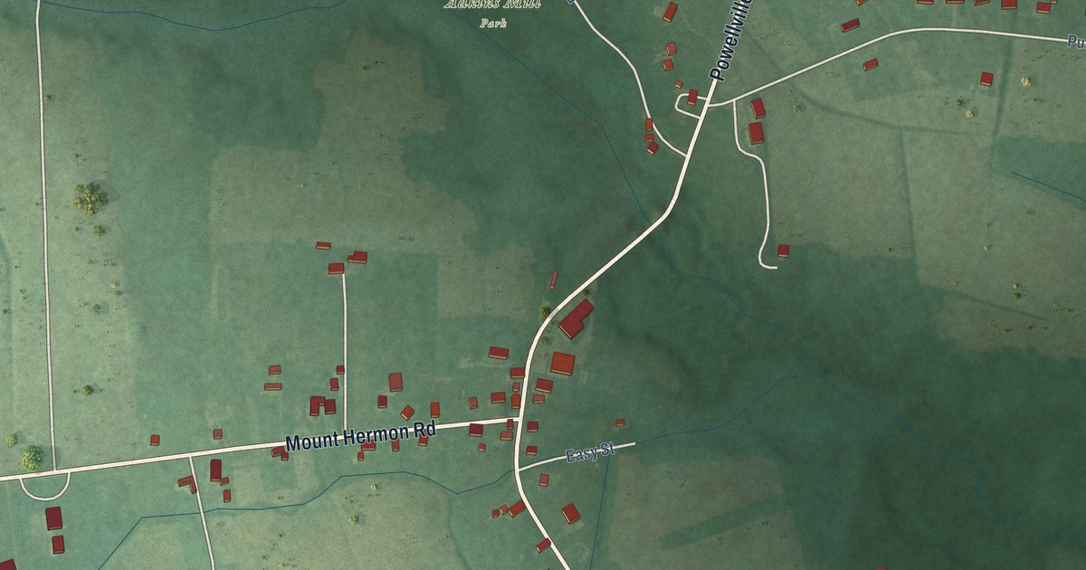
A detailed map of Powellville, Maryland, showing every building in its true location, the roads by name, and shaded topographical relief.
Read More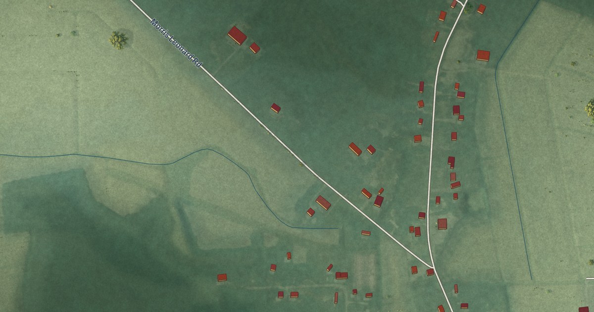
A detailed map of Parsonsburg, Maryland, showing every building in its true location, the roads by name, and shaded topographical relief.
Read More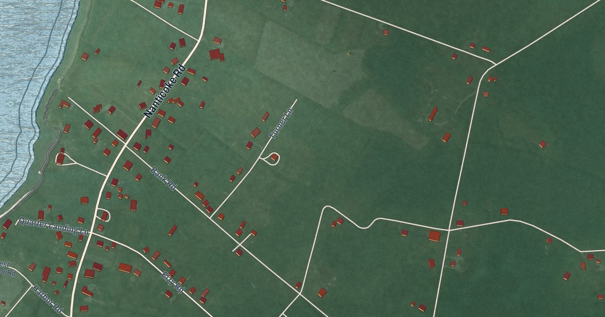
A detailed map of Nanticoke, Maryland, showing every building in its true location, the roads by name, and shaded topographical relief.
Read More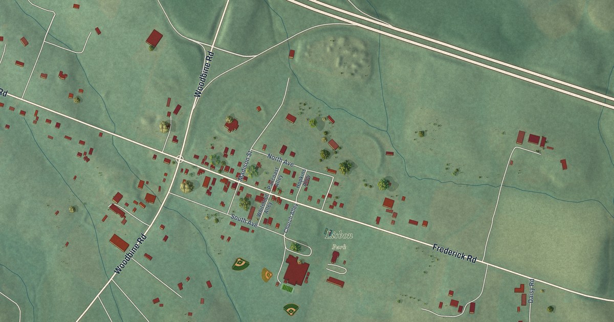
A detailed map of Lisbon, Maryland, showing every building in its true location, the roads by name, and shaded topographical relief.
Read More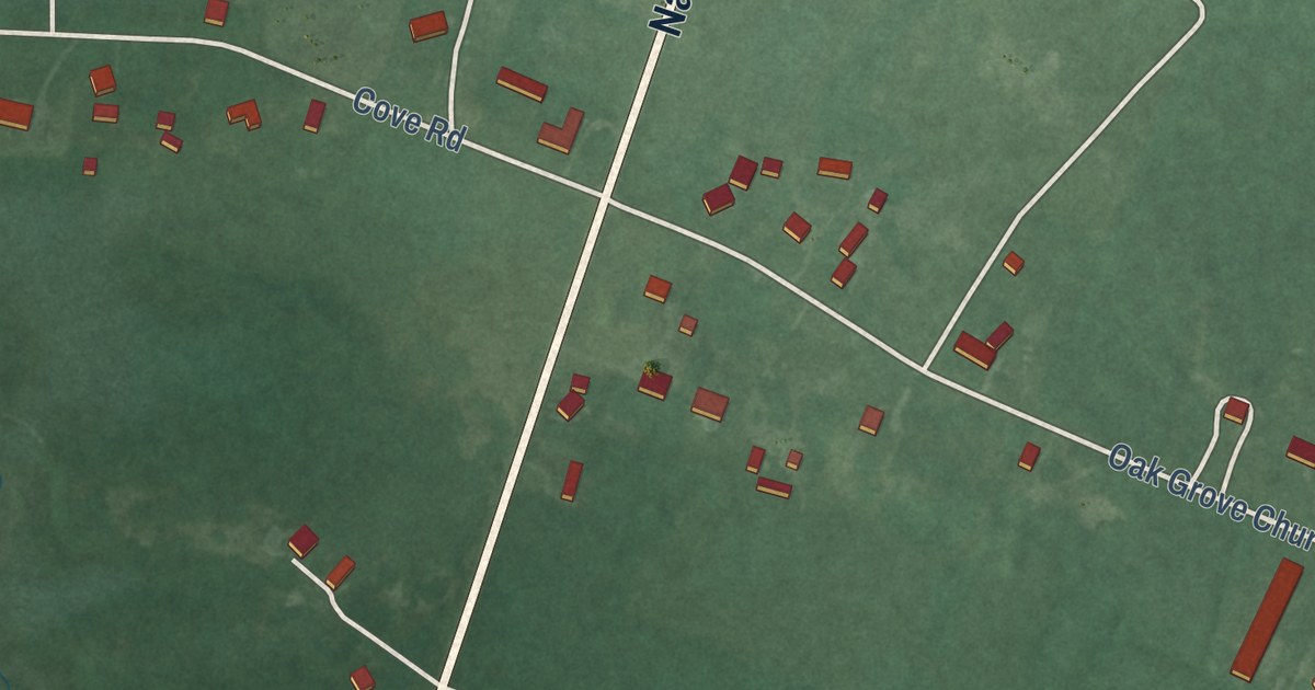
A detailed map of Jesterville, Maryland, showing every building in its true location, the roads by name, and shaded topographical relief.
Read More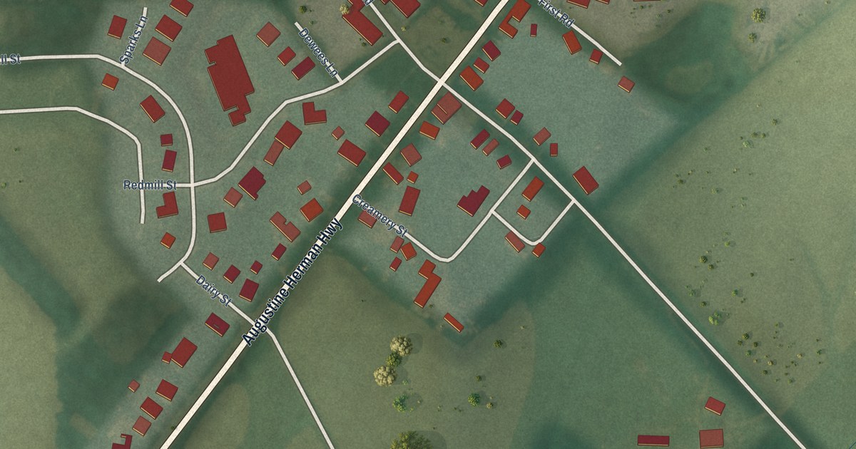
A detailed map of Kennedyville, Maryland, showing every building in its true location, the roads by name, and shaded topographical relief.
Read More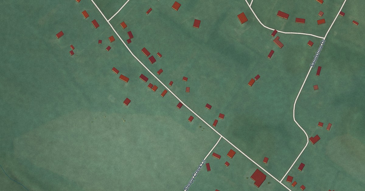
A detailed map of Greensburg, Maryland, showing every building in its true location, the roads by name, and shaded topographical relief.
Read More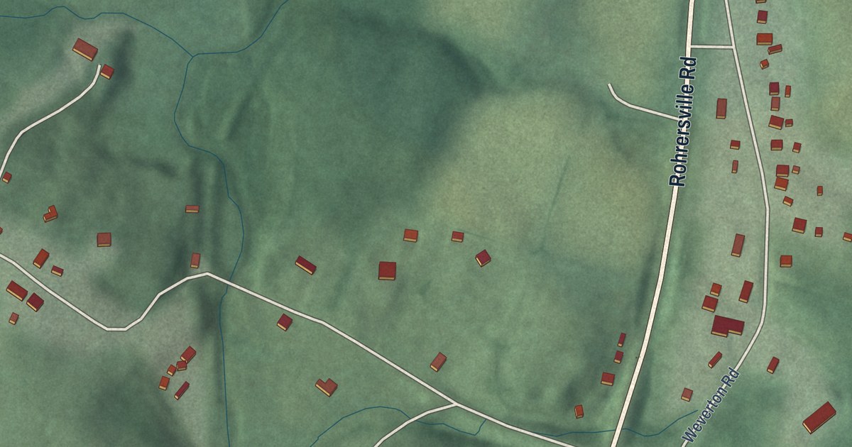
A detailed map of Garretts Mill, Maryland, showing every building in its true location, the roads by name, and shaded topographical relief.
Read More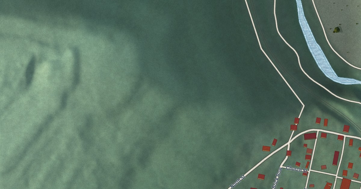
A detailed map of Bloomington, Maryland, showing every building in its true location, the roads by name, and shaded topographical relief.
Read More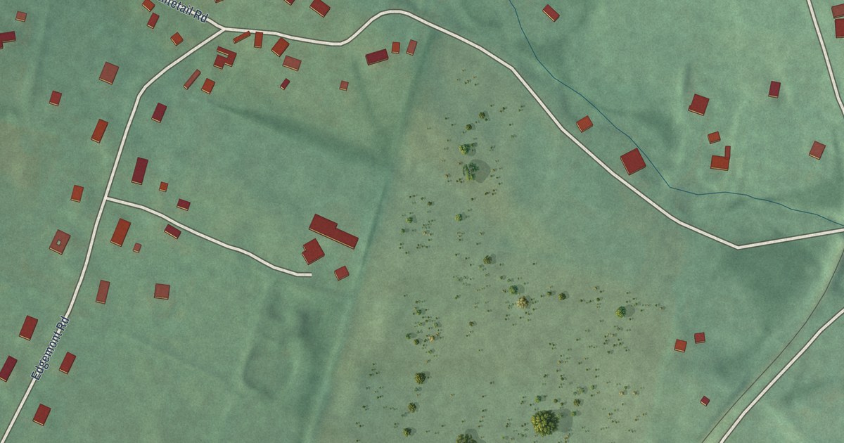
A detailed map of Edgemont, Maryland, showing every building in its true location, the roads by name, and shaded topographical relief.
Read More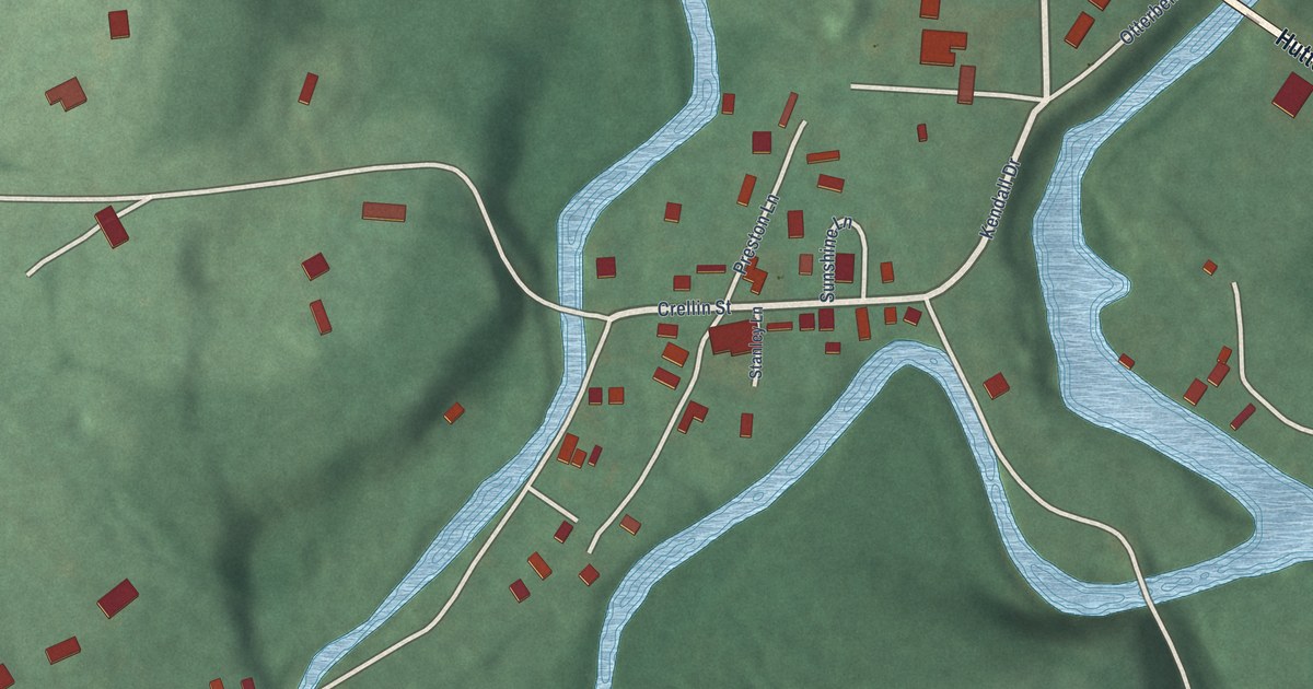
A detailed map of Crellin, Maryland, showing every building in its true location, the roads by name, and shaded topographical relief.
Read More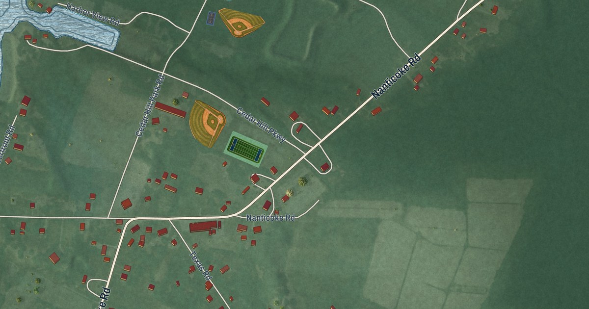
A detailed map of Bivalve, Maryland, showing every building in its true location, the roads by name, and shaded topographical relief.
Read More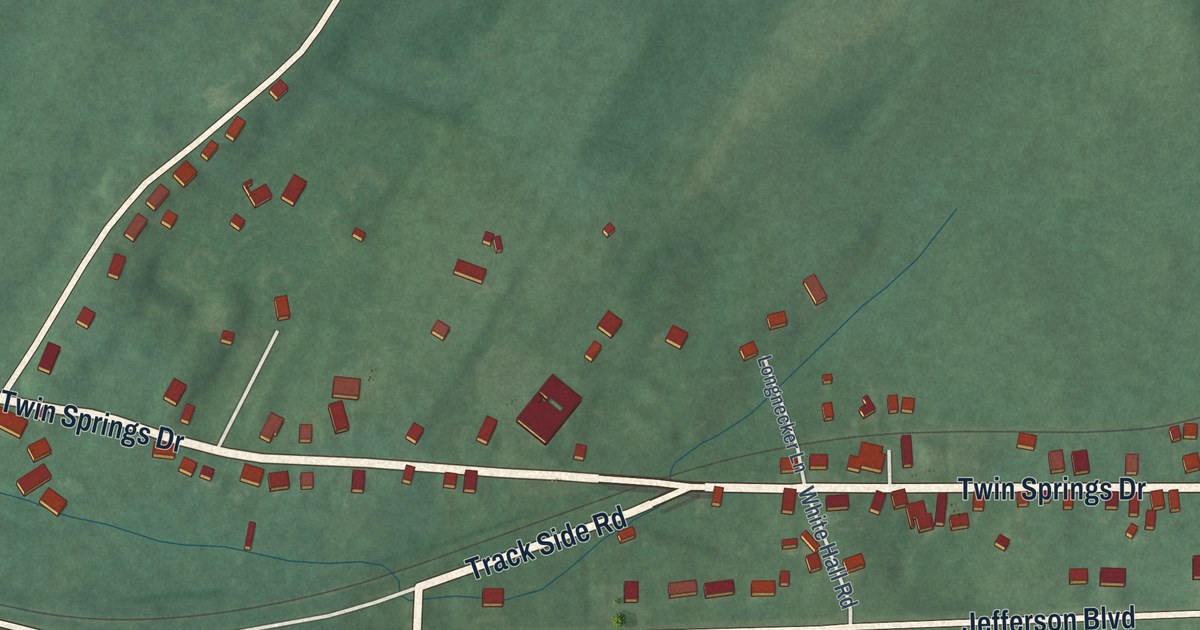
A detailed map of Chewsville, Maryland, showing every building in its true location, the roads by name, and shaded topographical relief.
Read More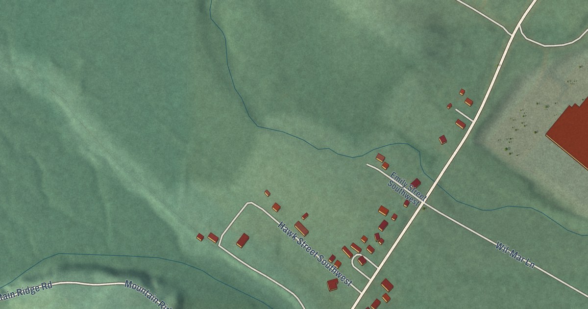
A detailed map of Bier, Maryland, showing every building in its true location, the roads by name, and shaded topographical relief.
Read More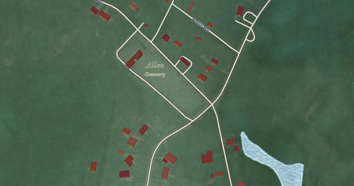
A detailed map of Allen, Maryland, showing every building in its true location, the roads by name, and shaded topographical relief.
Read More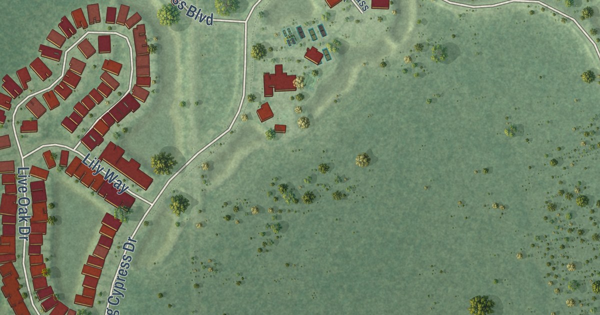
A detailed map of Winding Cypress, Florida, showing every building in its true location, the roads by name, and shaded topographical relief.
Read More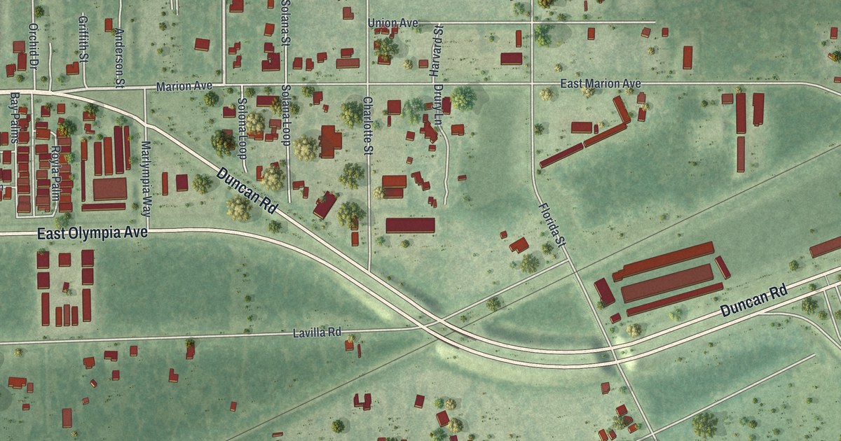
A detailed map of Solana, Florida, showing every building in its true location, the roads by name, and shaded topographical relief.
Read More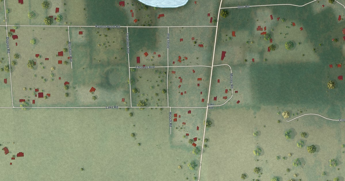
A detailed map of Pittman, Florida, showing every building in its true location, the roads by name, and shaded topographical relief.
Read More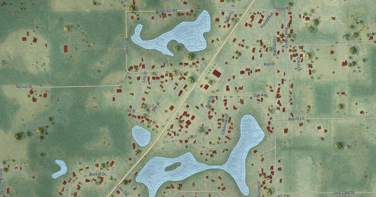
A detailed map of Pine Lakes, Florida, showing every building in its true location, the roads by name, and shaded topographical relief.
Read More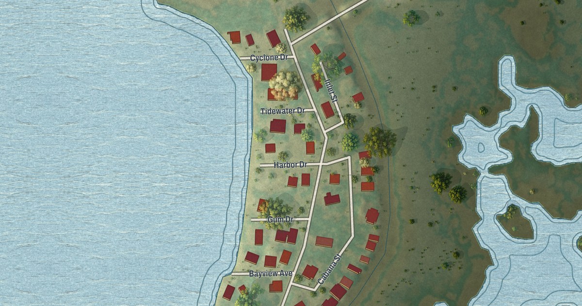
A detailed map of Pine Island, Florida, showing every building in its true location, the roads by name, and shaded topographical relief.
Read More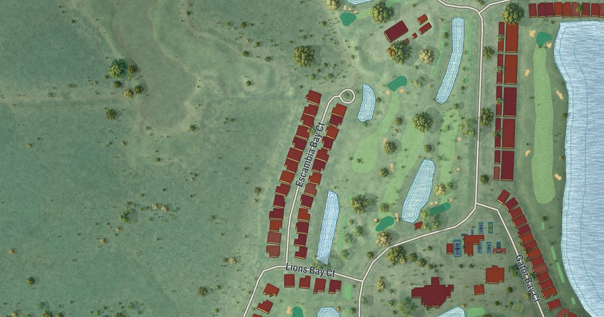
A detailed map of Heritage Bay, Florida, showing every building in its true location, the roads by name, and shaded topographical relief.
Read More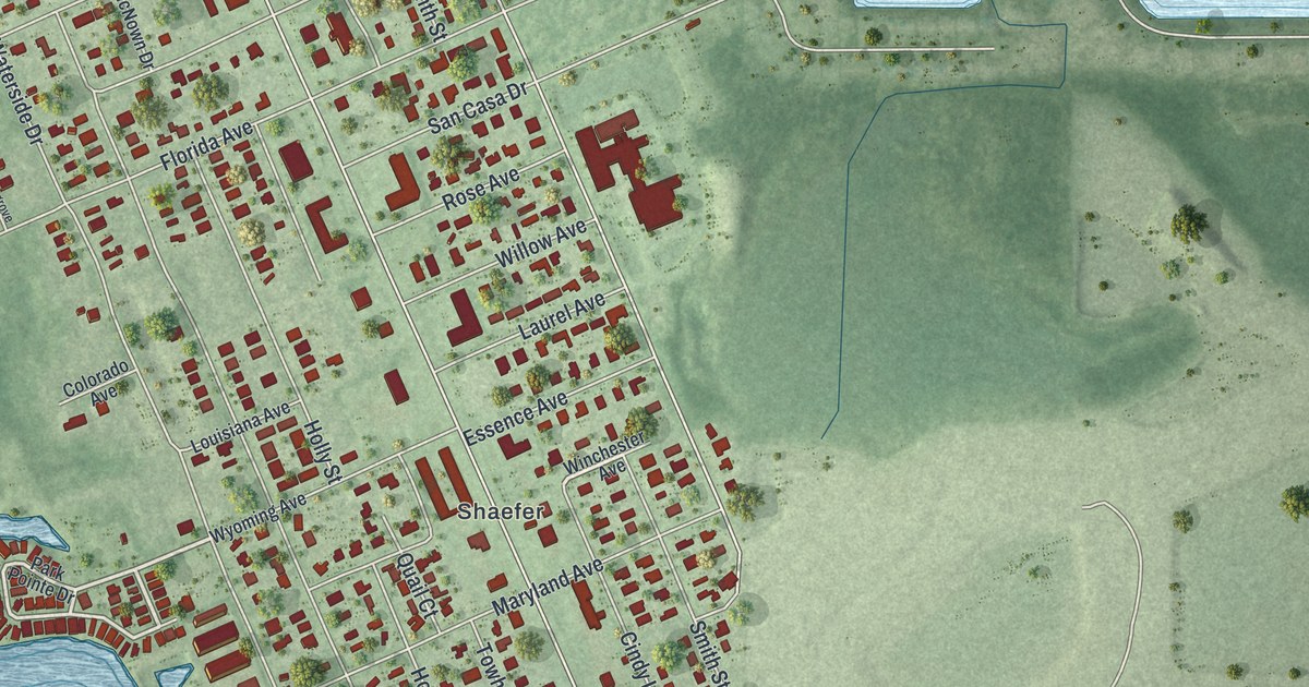
A detailed map of Grove City, Florida, showing every building in its true location, the roads by name, and shaded topographical relief.
Read More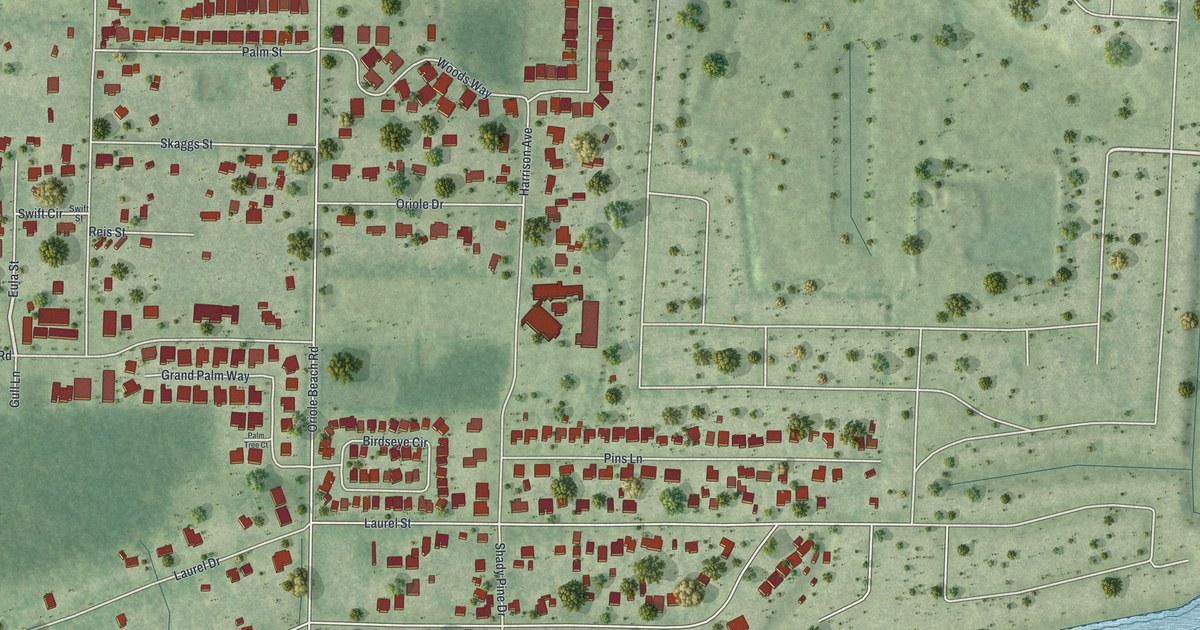
A detailed map of Oriole Beach, Florida, showing every building in its true location, the roads by name, and shaded topographical relief.
Read More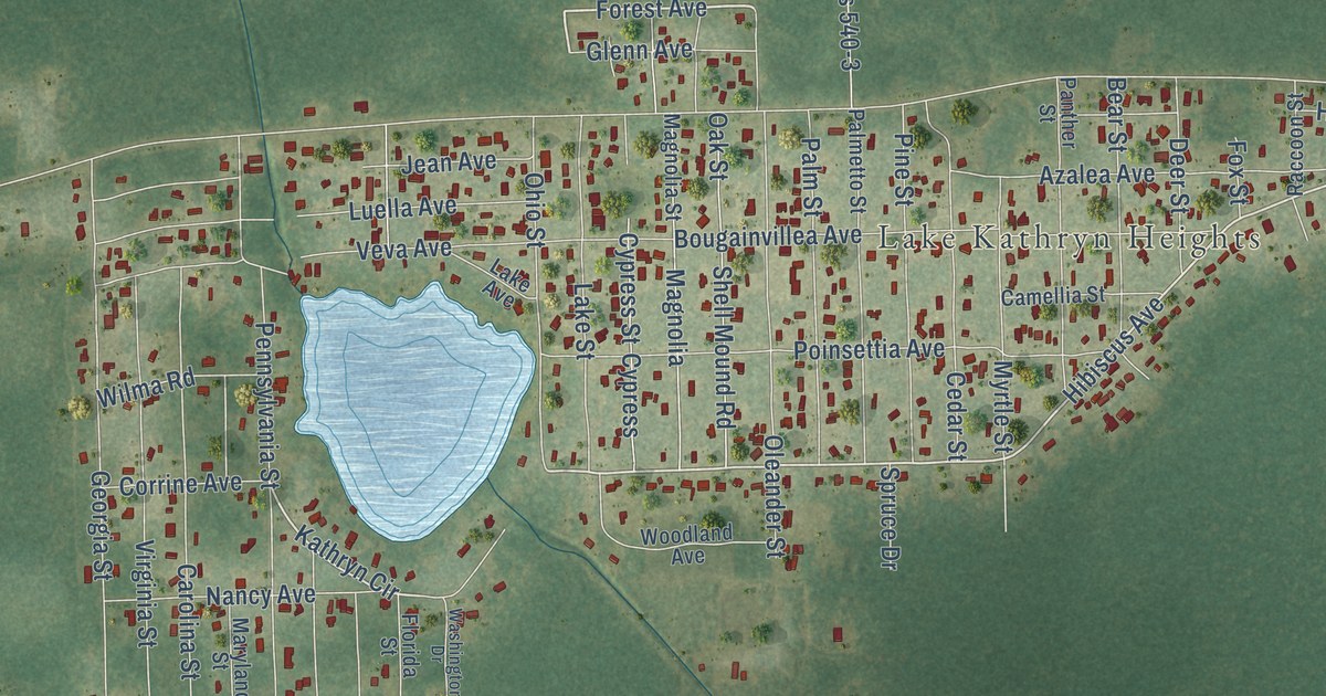
A detailed map of Lake Kathryn, Florida, showing every building in its true location, the roads by name, and shaded topographical relief.
Read More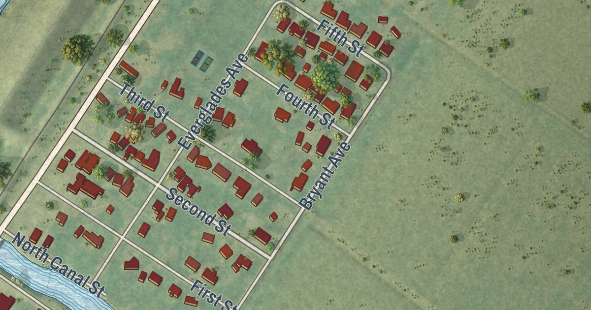
A detailed map of Canal Point, Florida, showing every building in its true location, the roads by name, and shaded topographical relief.
Read More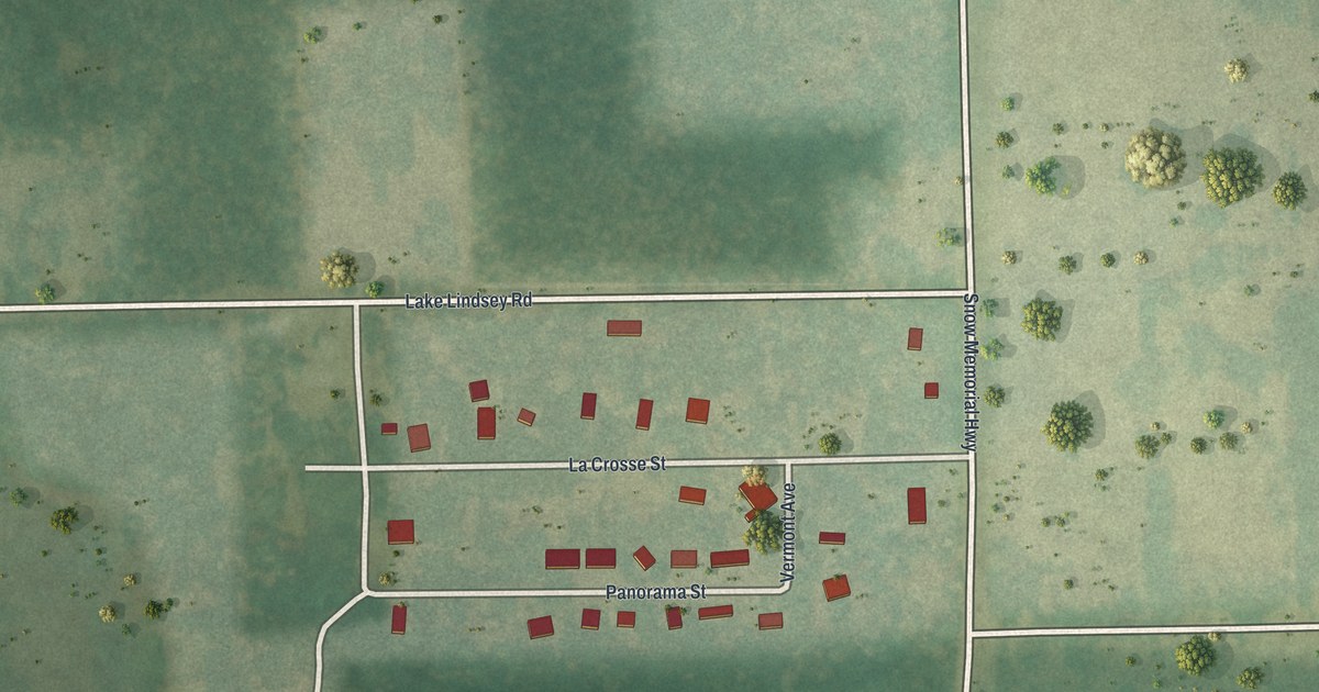
A detailed map of Lake Lindsey, Florida, showing every building in its true location, the roads by name, and shaded topographical relief.
Read More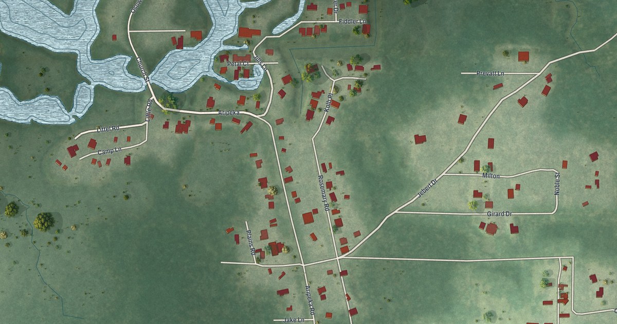
A detailed map of Aripeka, Florida, showing every building in its true location, the roads by name, and shaded topographical relief.
Read More















