Detailed Map of Skyland Estates, Virginia
A detailed map of Skyland Estates, Virginia, showing every building in its true location, the roads by name, and shaded topographical relief.
Read More
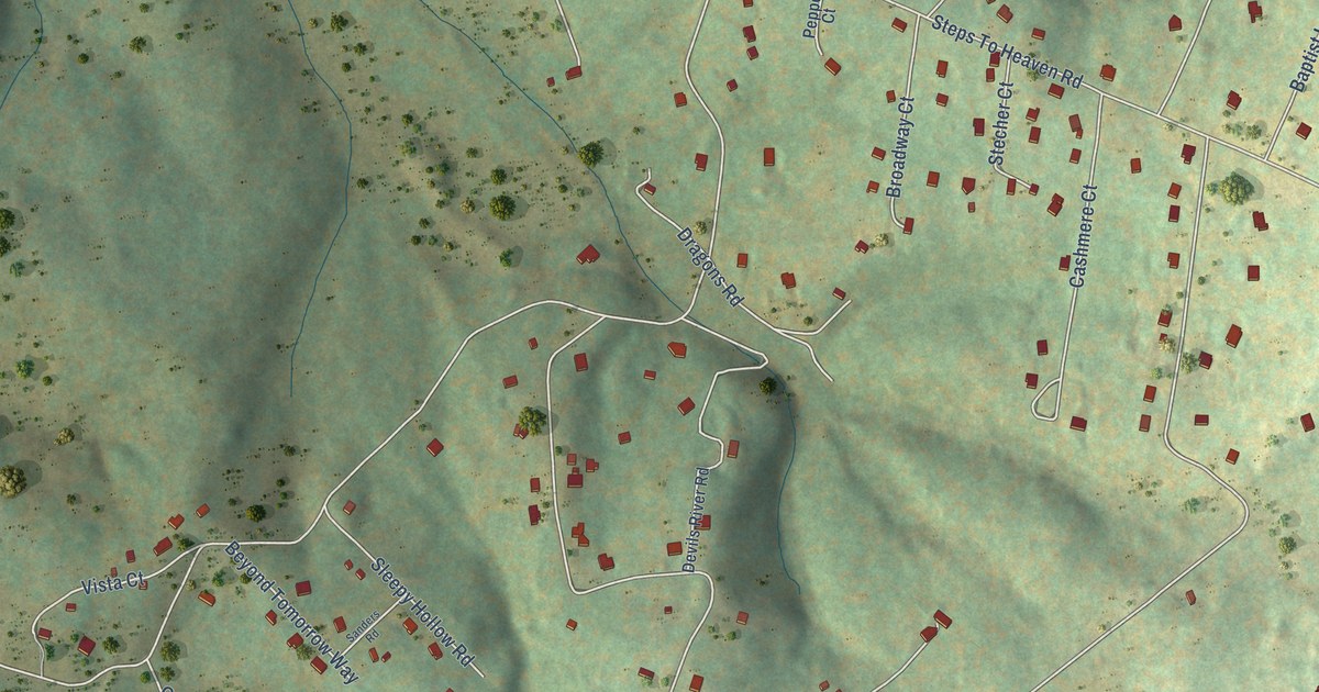
A detailed map of Skyland Estates, Virginia, showing every building in its true location, the roads by name, and shaded topographical relief.
Read More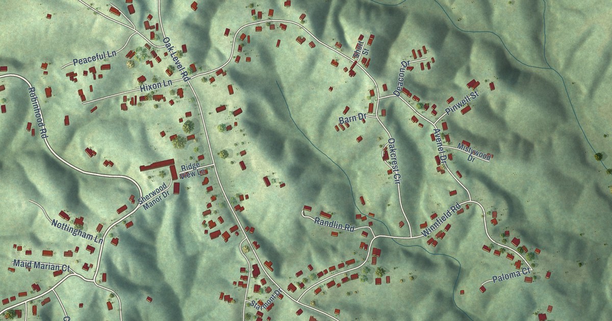
A detailed map of Stanleytown, Virginia, showing every building in its true location, the roads by name, and shaded topographical relief.
Read More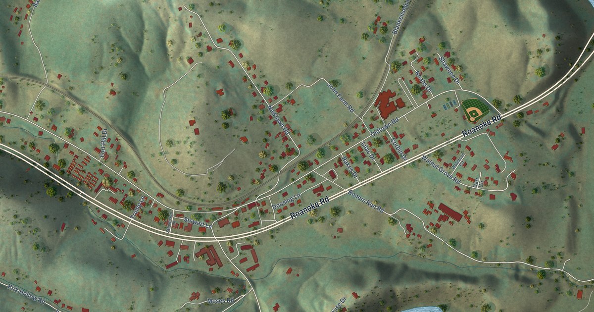
A detailed map of Shawsville, Virginia, showing every building in its true location, the roads by name, and shaded topographical relief.
Read More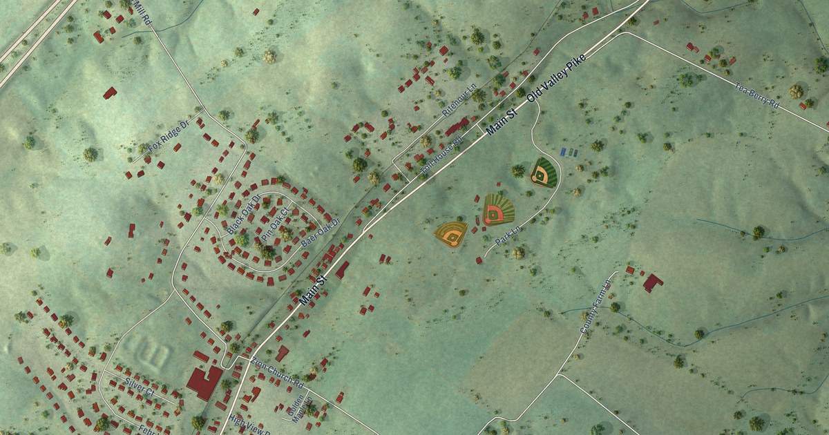
A detailed map of Maurertown, Virginia, showing every building in its true location, the roads by name, and shaded topographical relief.
Read More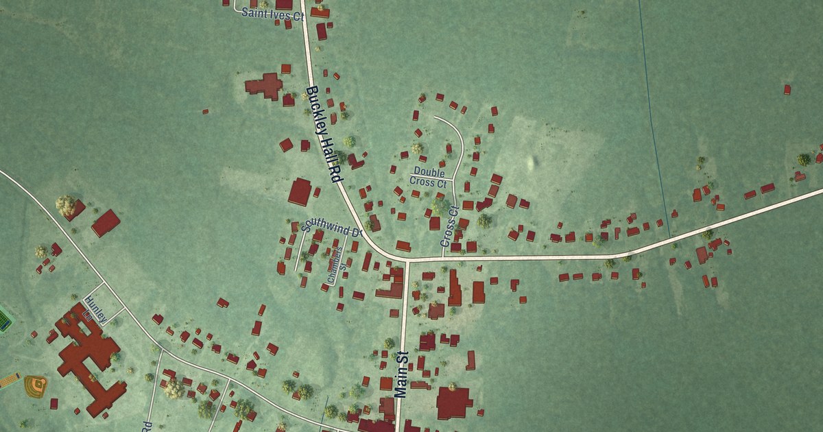
A detailed map of Mathews, Virginia, showing every building in its true location, the roads by name, and shaded topographical relief.
Read More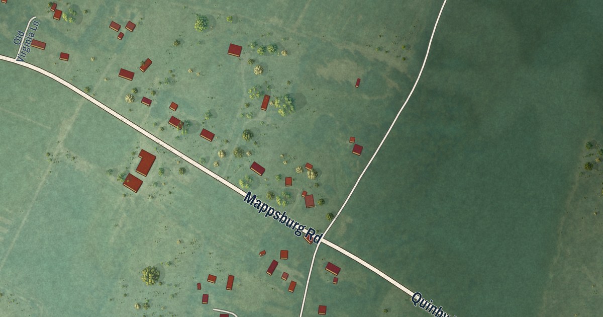
A detailed map of Mappsburg, Virginia, showing every building in its true location, the roads by name, and shaded topographical relief.
Read More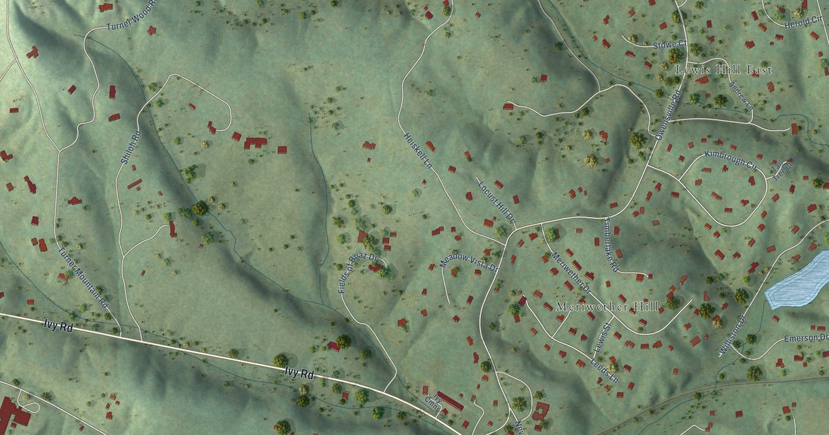
A detailed map of Ivy, Virginia, showing every building in its true location, the roads by name, and shaded topographical relief.
Read More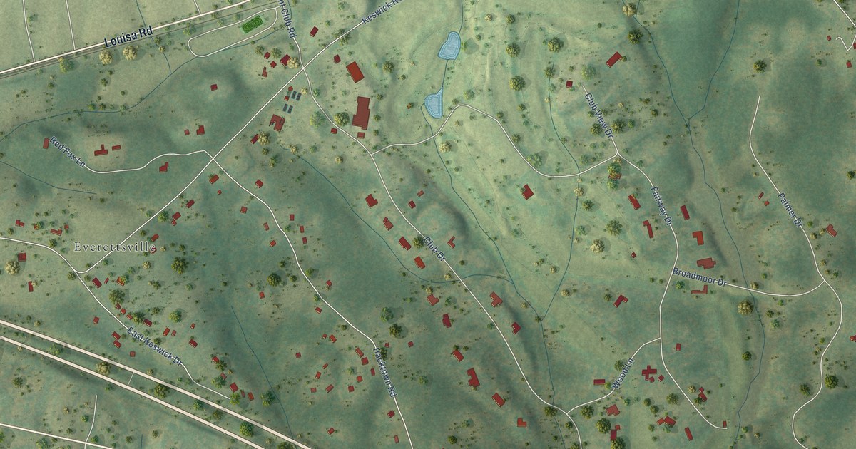
A detailed map of Keswick, Virginia, showing every building in its true location, the roads by name, and shaded topographical relief.
Read More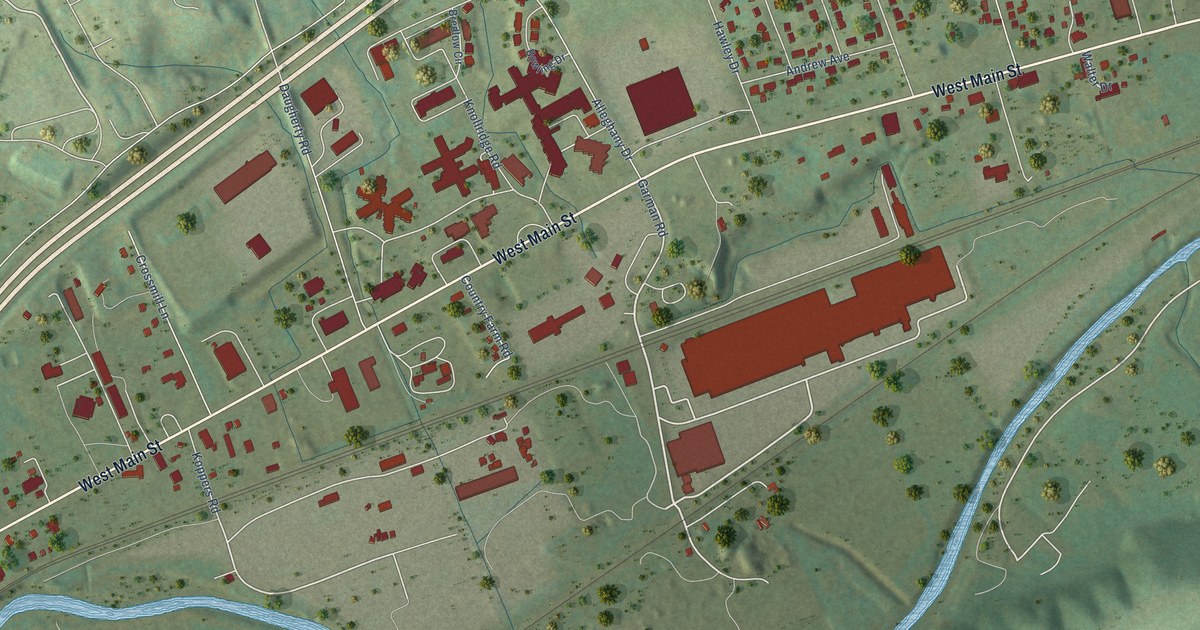
A detailed map of Glenvar, Virginia, showing every building in its true location, the roads by name, and shaded topographical relief.
Read More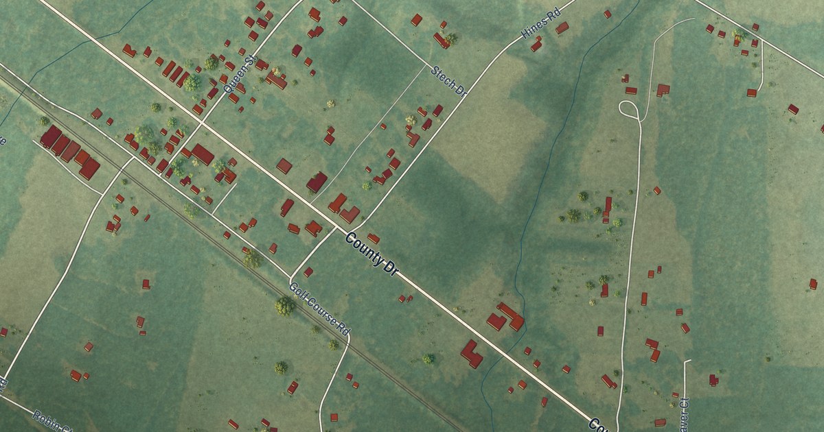
A detailed map of Disputanta, Virginia, showing every building in its true location, the roads by name, and shaded topographical relief.
Read More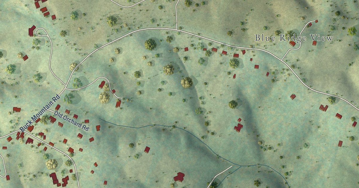
A detailed map of Free Union, Virginia, showing every building in its true location, the roads by name, and shaded topographical relief.
Read More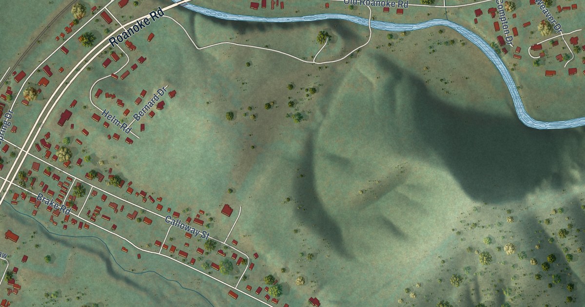
A detailed map of Elliston, Virginia, showing every building in its true location, the roads by name, and shaded topographical relief.
Read More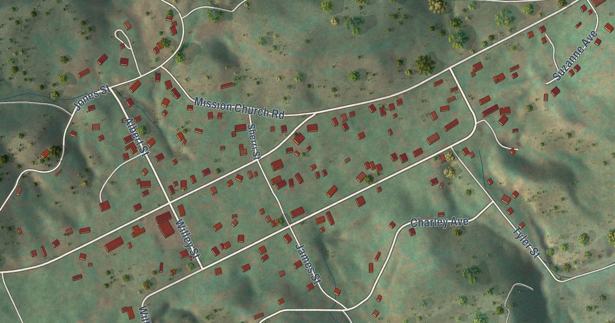
A detailed map of Abbs Valley, Virginia, showing every building in its true location, the roads by name, and shaded topographical relief.
Read More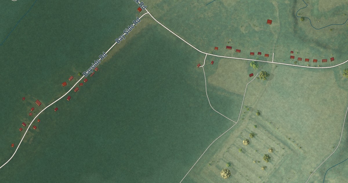
A detailed map of Bayside, Virginia, showing every building in its true location, the roads by name, and shaded topographical relief.
Read More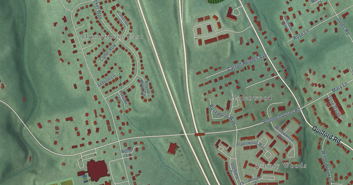
A detailed map of Savage, Maryland, showing every building in its true location, the roads by name, and shaded topographical relief.
Read More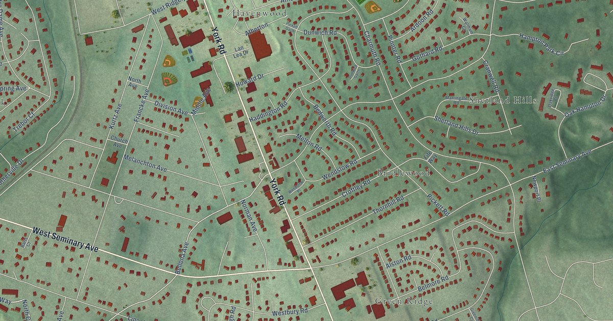
A detailed map of Lutherville, Maryland, showing every building in its true location, the roads by name, and shaded topographical relief.
Read More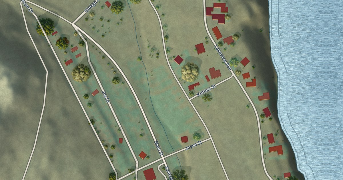
A detailed map of Vantage, Washington, showing every building in its true location, the roads by name, and shaded topographical relief.
Read More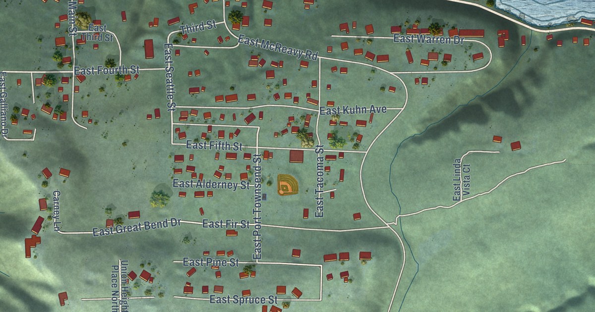
A detailed map of Union, Washington, showing every building in its true location, the roads by name, and shaded topographical relief.
Read More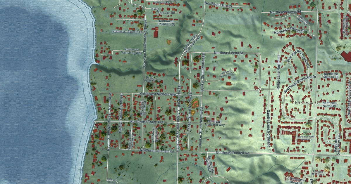
A detailed map of Tracyton, Washington, showing every building in its true location, the roads by name, and shaded topographical relief.
Read More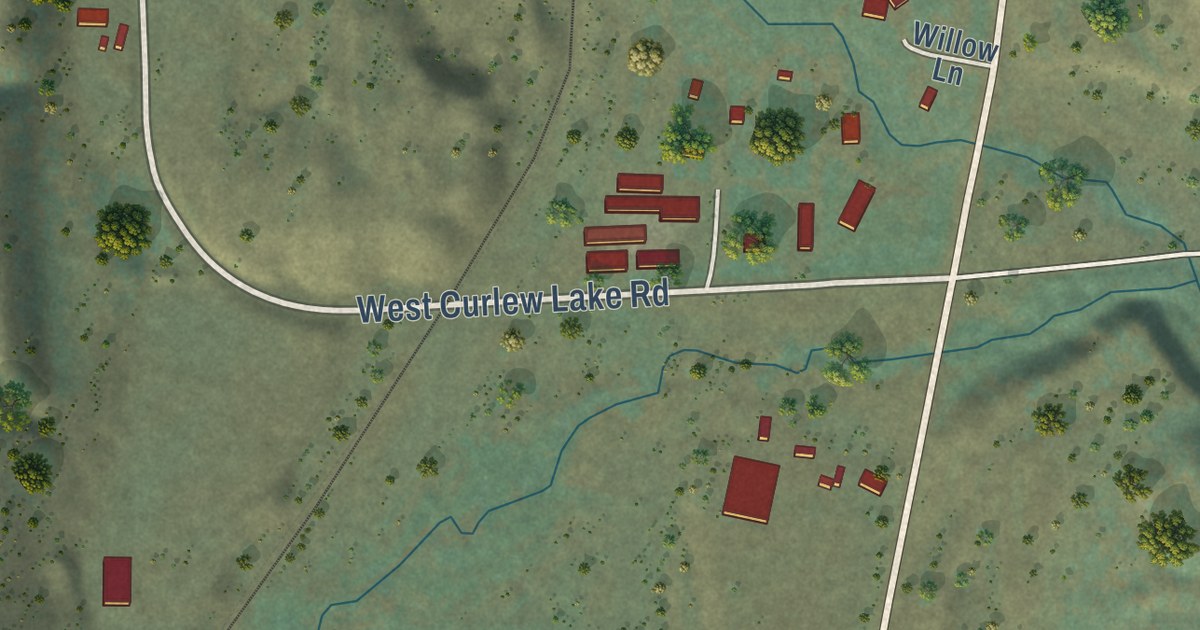
A detailed map of Torboy, Washington, showing every building in its true location, the roads by name, and shaded topographical relief.
Read More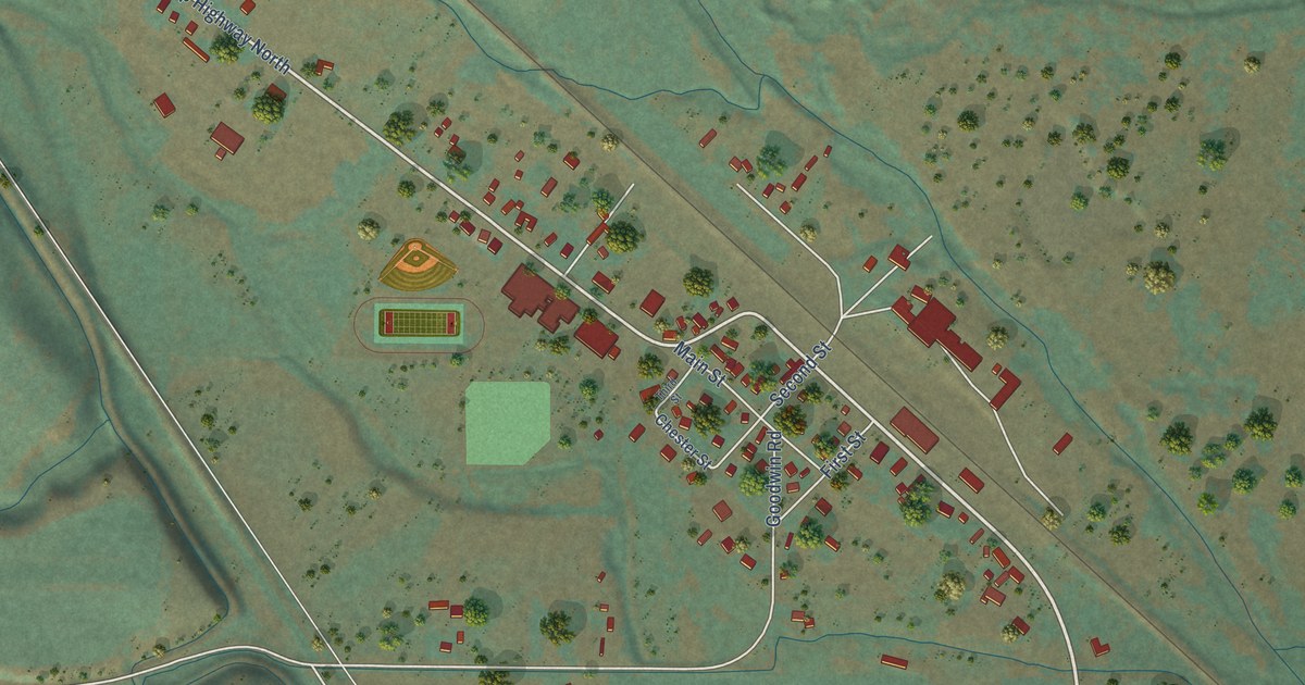
A detailed map of Thorp, Washington, showing every building in its true location, the roads by name, and shaded topographical relief.
Read More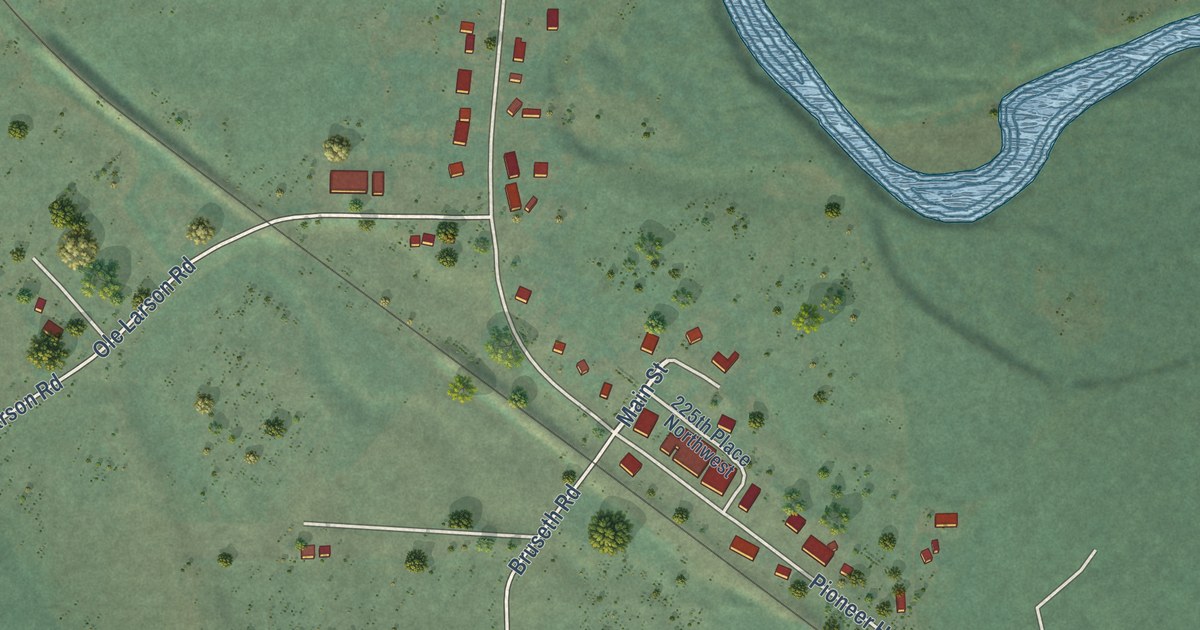
A detailed map of Silvana, Washington, showing every building in its true location, the roads by name, and shaded topographical relief.
Read More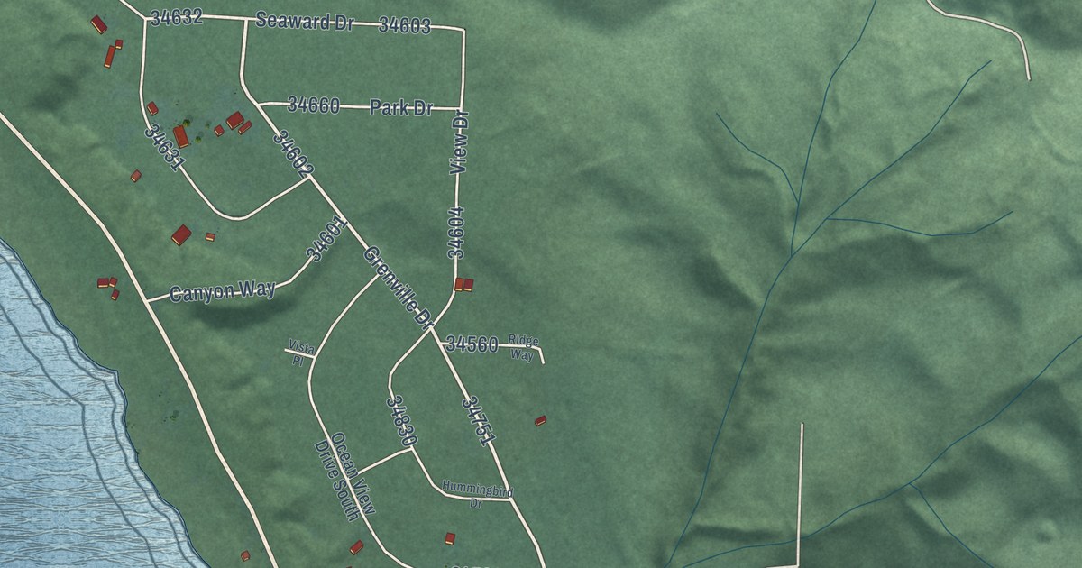
A detailed map of Santiago, Washington, showing every building in its true location, the roads by name, and shaded topographical relief.
Read More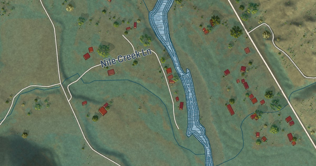
A detailed map of Nile, Washington, showing every building in its true location, the roads by name, and shaded topographical relief.
Read More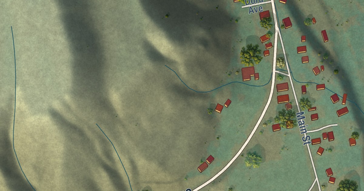
A detailed map of Methow, Washington, showing every building in its true location, the roads by name, and shaded topographical relief.
Read More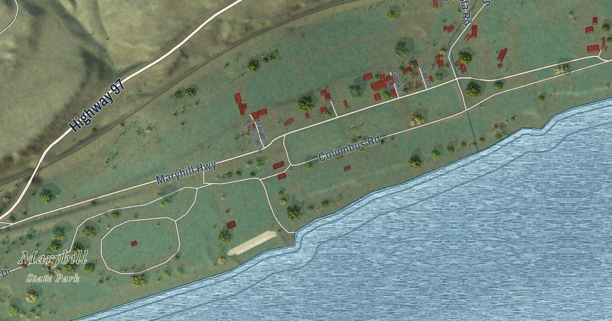
A detailed map of Maryhill, Washington, showing every building in its true location, the roads by name, and shaded topographical relief.
Read More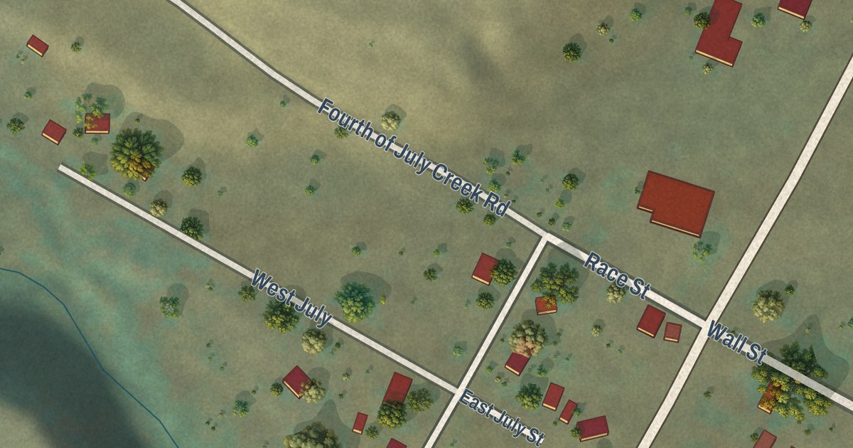
A detailed map of Danville, Washington, showing every building in its true location, the roads by name, and shaded topographical relief.
Read More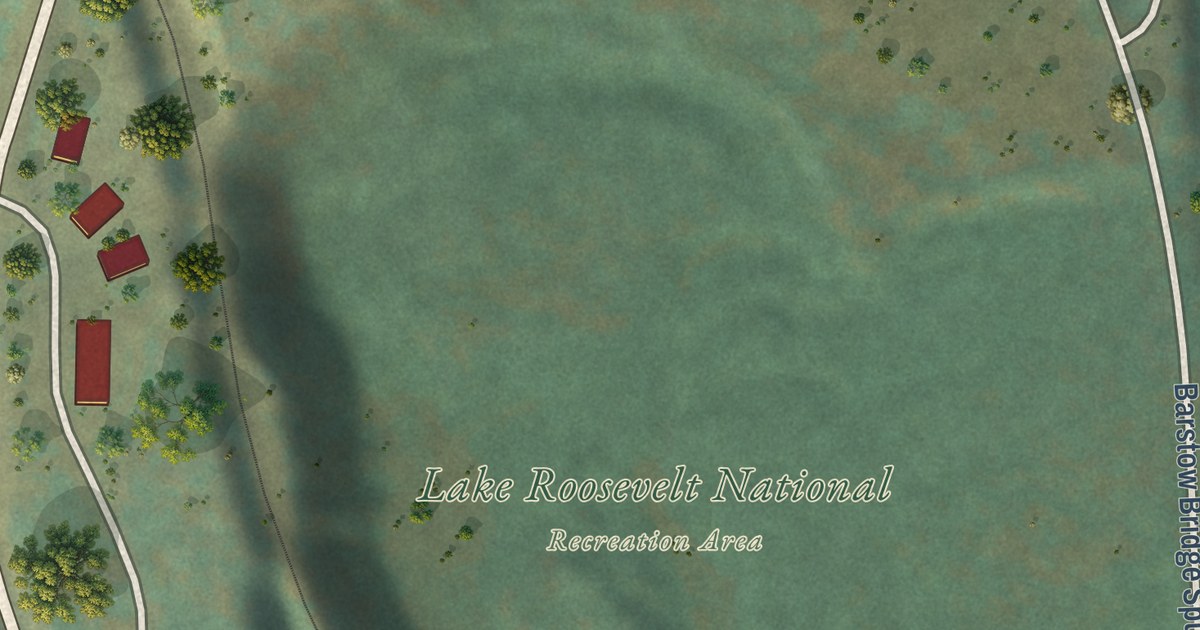
A detailed map of Barstow, Washington, showing every building in its true location, the roads by name, and shaded topographical relief.
Read More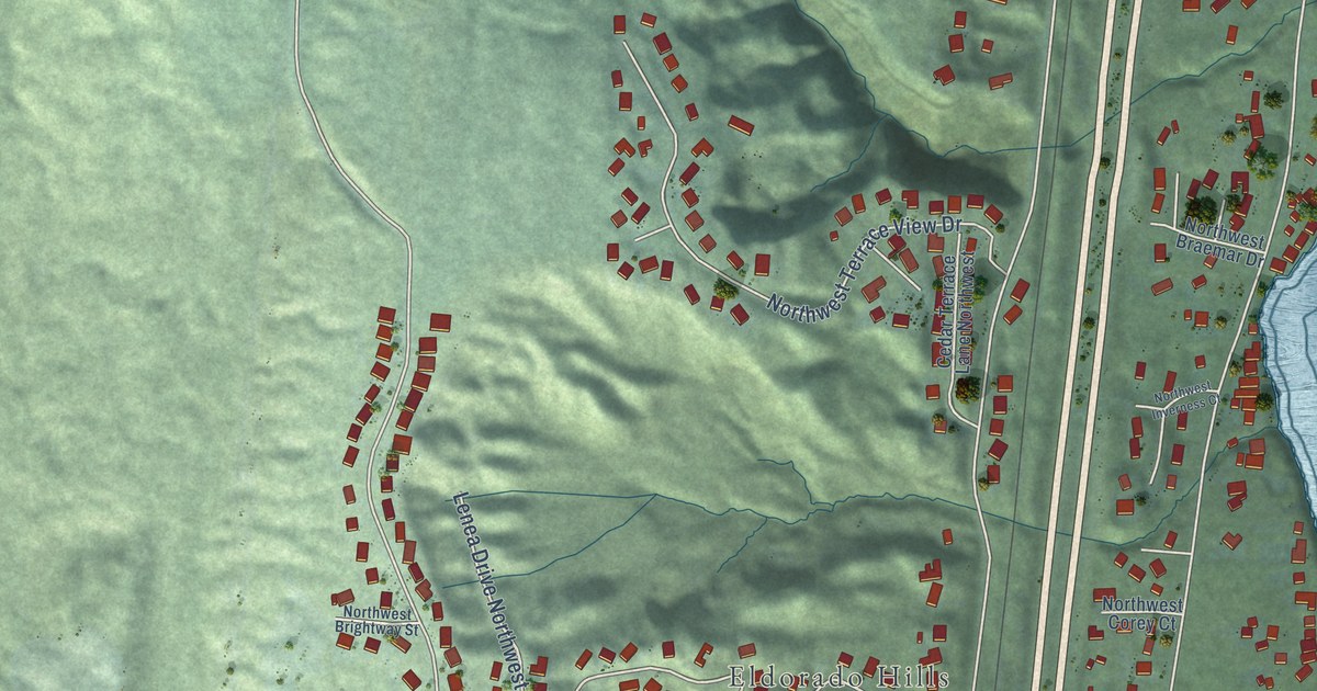
A detailed map of Chico, Washington, showing every building in its true location, the roads by name, and shaded topographical relief.
Read More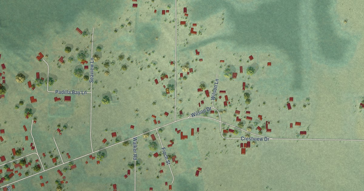
A detailed map of Bay View, Washington, showing every building in its true location, the roads by name, and shaded topographical relief.
Read More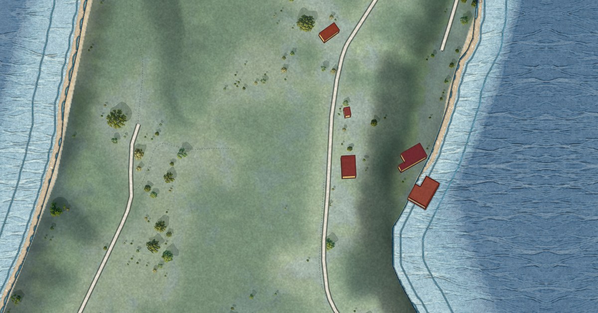
A detailed map of Ketron Island, Washington, showing every building in its true location, the roads by name, and shaded topographical relief.
Read More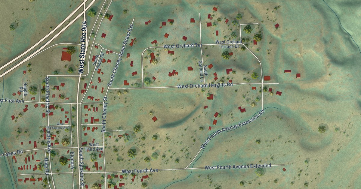
A detailed map of Four Lakes, Washington, showing every building in its true location, the roads by name, and shaded topographical relief.
Read More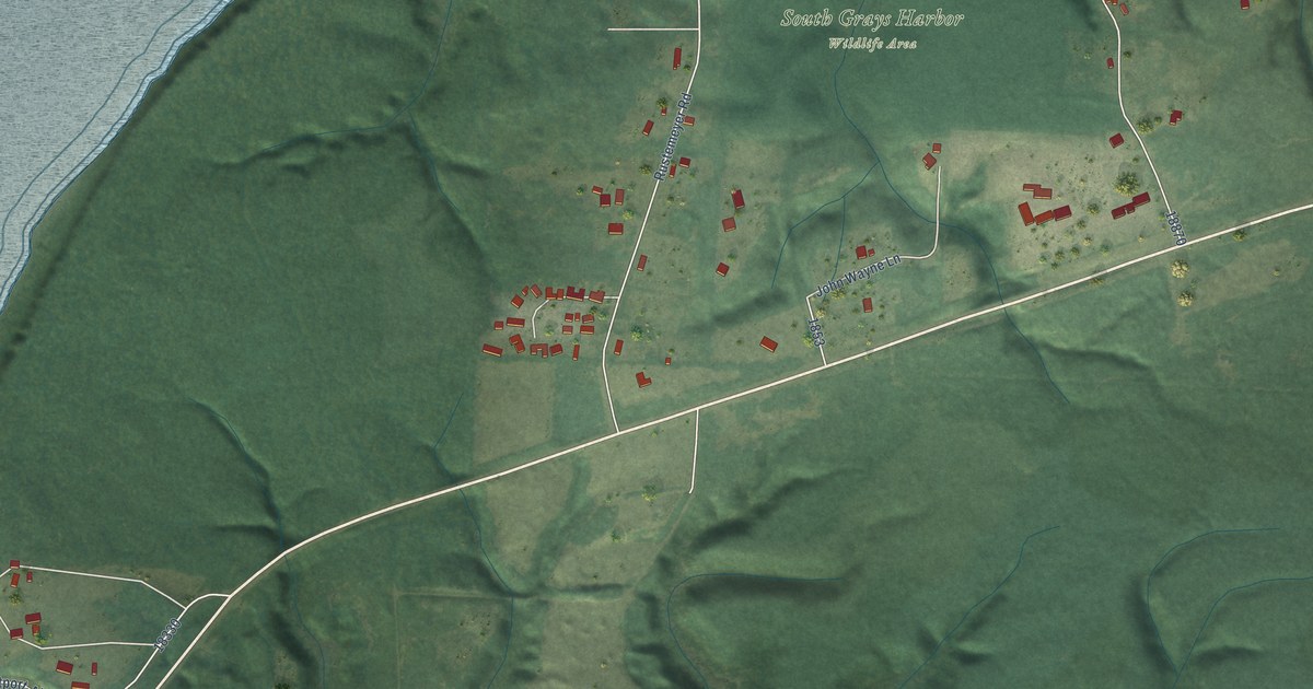
A detailed map of Markham, Washington, showing every building in its true location, the roads by name, and shaded topographical relief.
Read More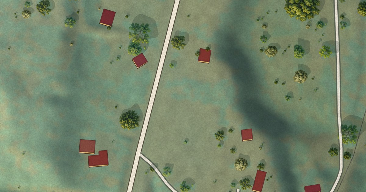
A detailed map of Boyds, Washington, showing every building in its true location, the roads by name, and shaded topographical relief.
Read More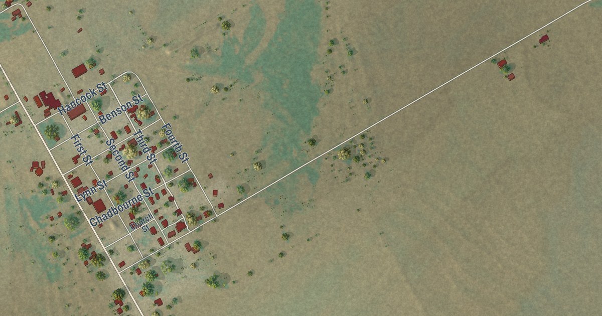
A detailed map of Wingate, Texas, showing every building in its true location, the roads by name, and shaded topographical relief.
Read More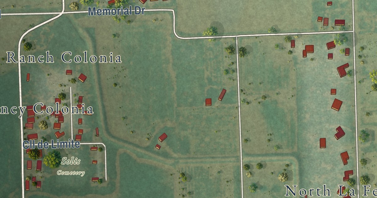
A detailed map of Solis, Texas, showing every building in its true location, the roads by name, and shaded topographical relief.
Read More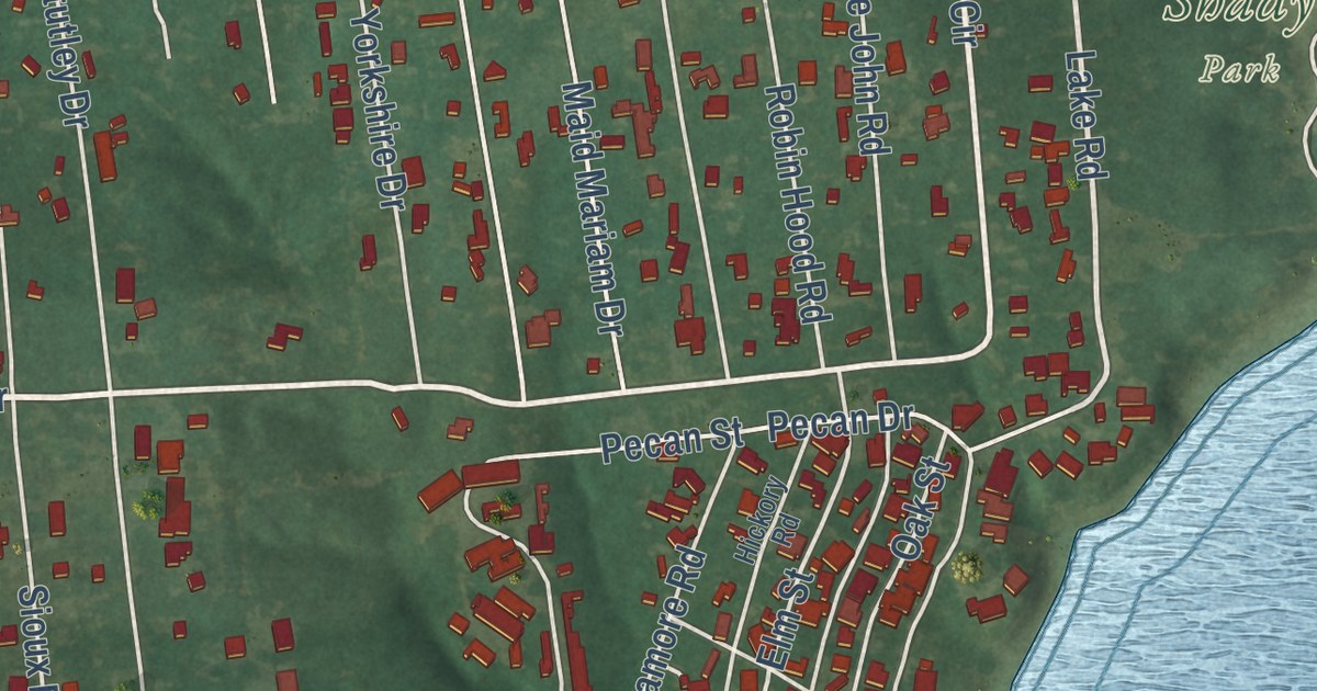
A detailed map of Sherwood Shores, Texas, showing every building in its true location, the roads by name, and shaded topographical relief.
Read More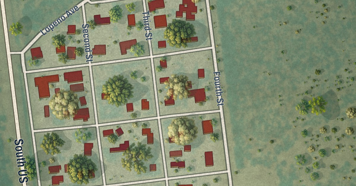
A detailed map of Lopeño, Texas, showing every building in its true location, the roads by name, and shaded topographical relief.
Read More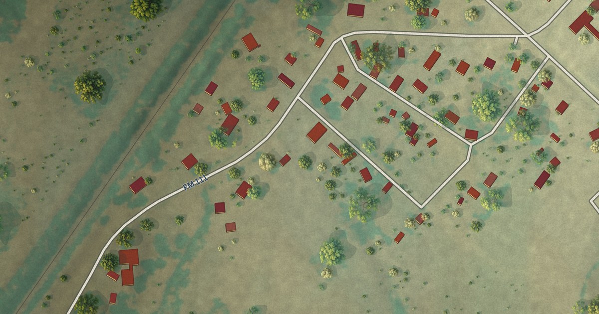
A detailed map of Deanville, Texas, showing every building in its true location, the roads by name, and shaded topographical relief.
Read More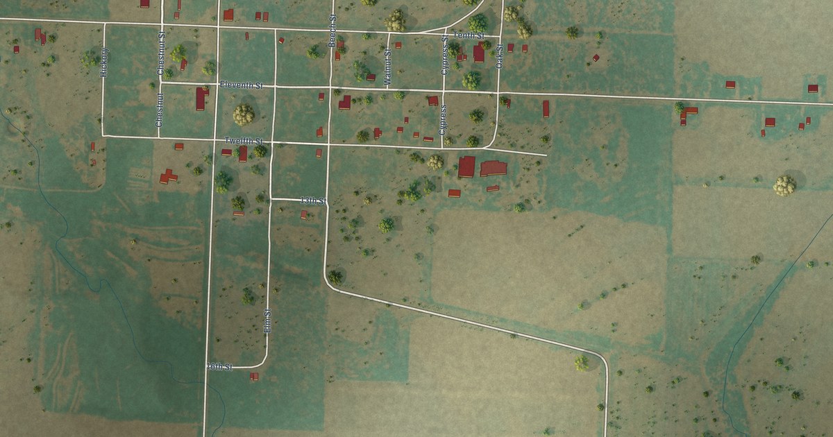
A detailed map of Fluvanna, Texas, showing every building in its true location, the roads by name, and shaded topographical relief.
Read More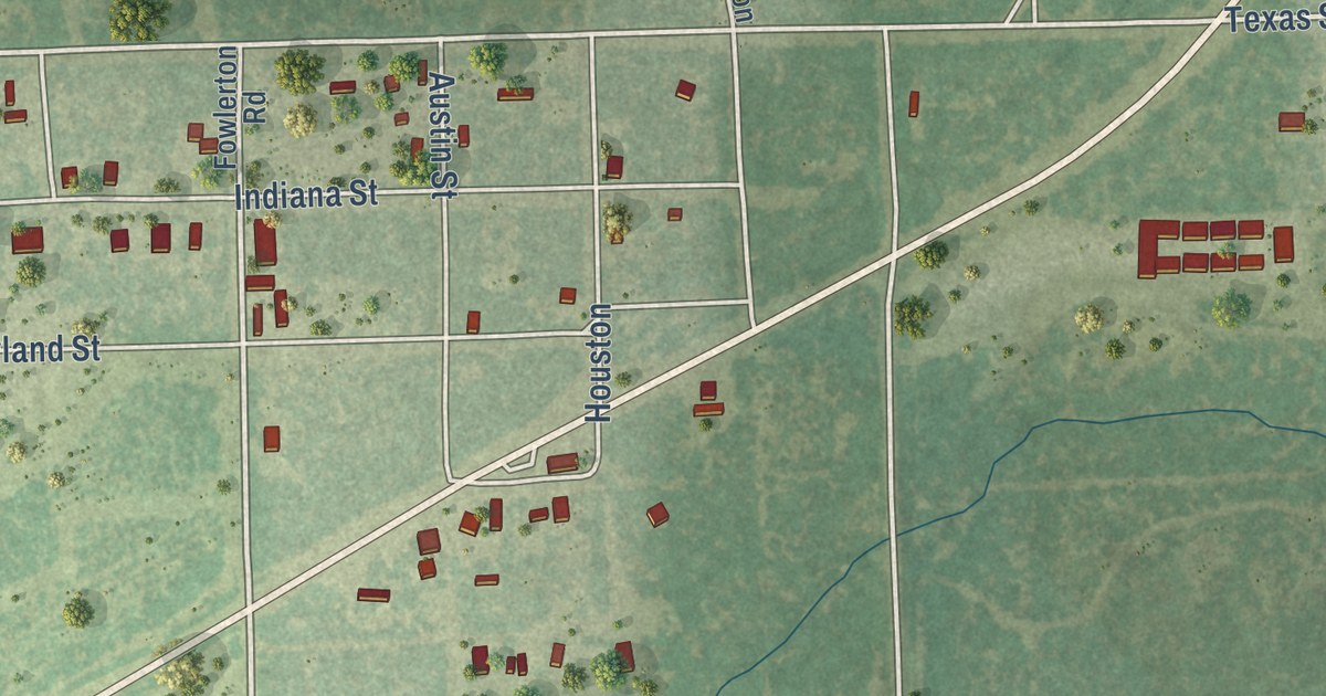
A detailed map of Fowlerton, Texas, showing every building in its true location, the roads by name, and shaded topographical relief.
Read More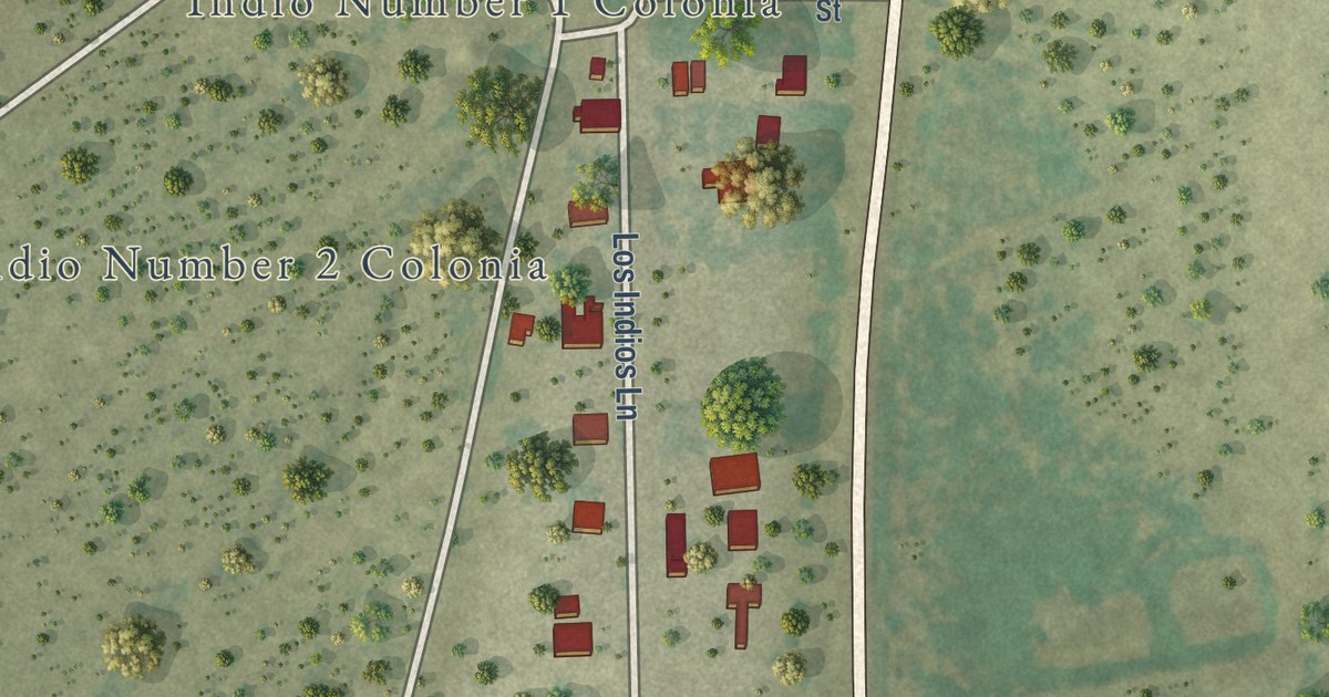
A detailed map of Indio, Texas, showing every building in its true location, the roads by name, and shaded topographical relief.
Read More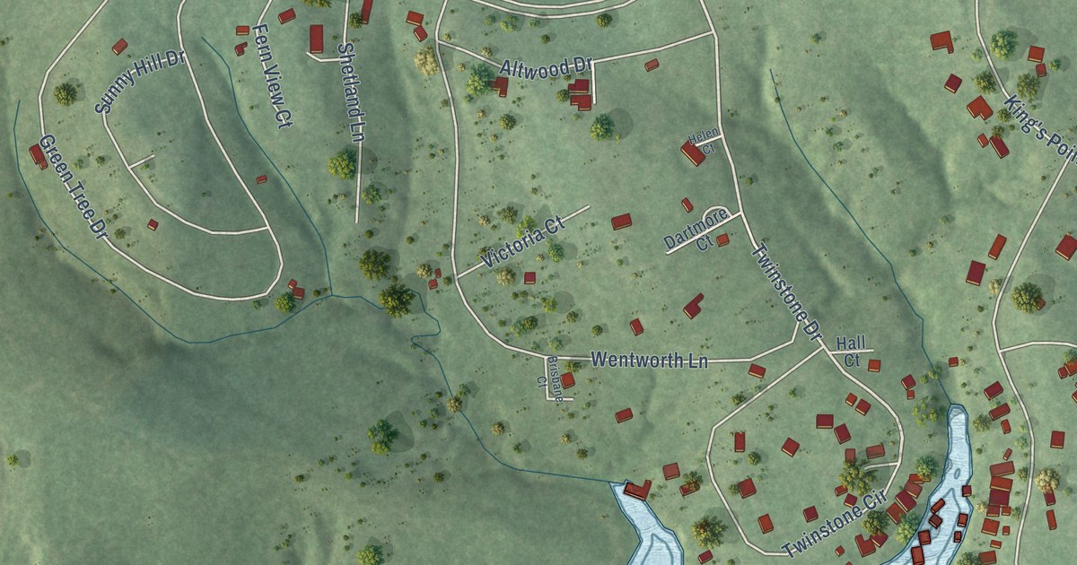
A detailed map of Cape Royale, Texas, showing every building in its true location, the roads by name, and shaded topographical relief.
Read More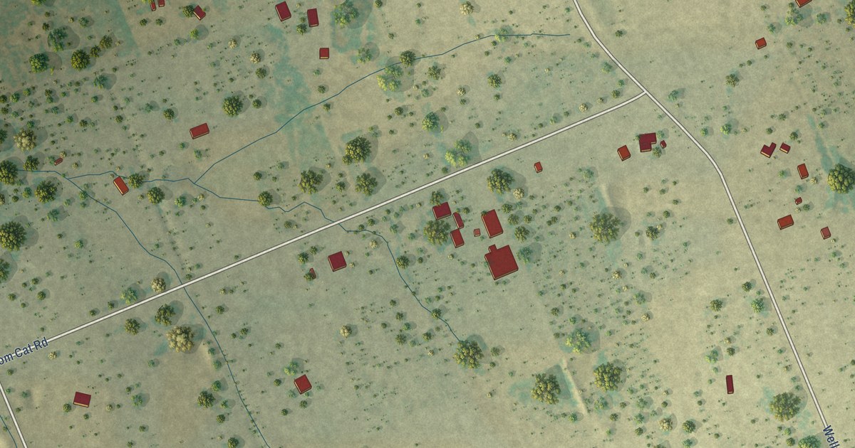
A detailed map of Bonanza Hills, Texas, showing every building in its true location, the roads by name, and shaded topographical relief.
Read More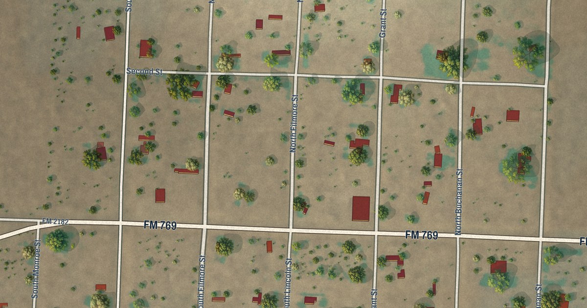
A detailed map of Bledsoe, Texas, showing every building in its true location, the roads by name, and shaded topographical relief.
Read More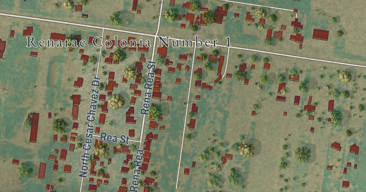
A detailed map of César Chávez, Texas, showing every building in its true location, the roads by name, and shaded topographical relief.
Read More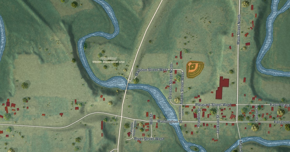
A detailed map of Garden City, Minnesota, showing every building in its true location, the roads by name, and shaded topographical relief.
Read More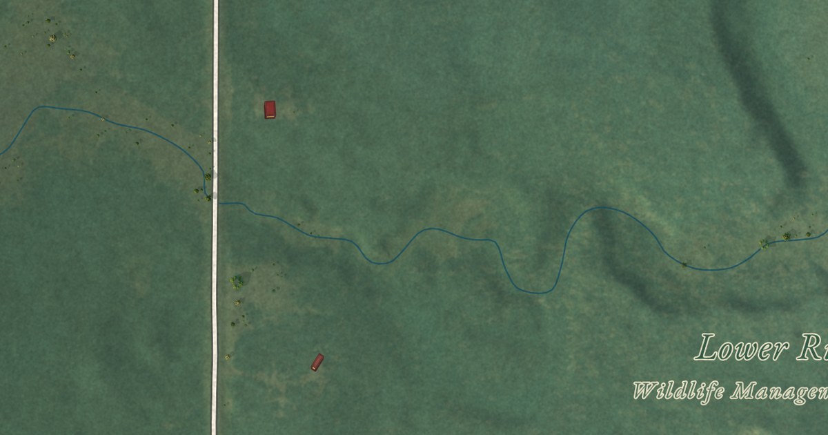
A detailed map of South End, Minnesota, showing every building in its true location, the roads by name, and shaded topographical relief.
Read More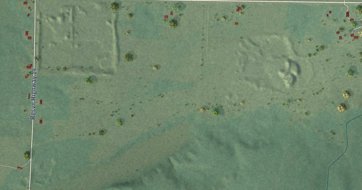
A detailed map of West Roy Lake, Minnesota, showing every building in its true location, the roads by name, and shaded topographical relief.
Read More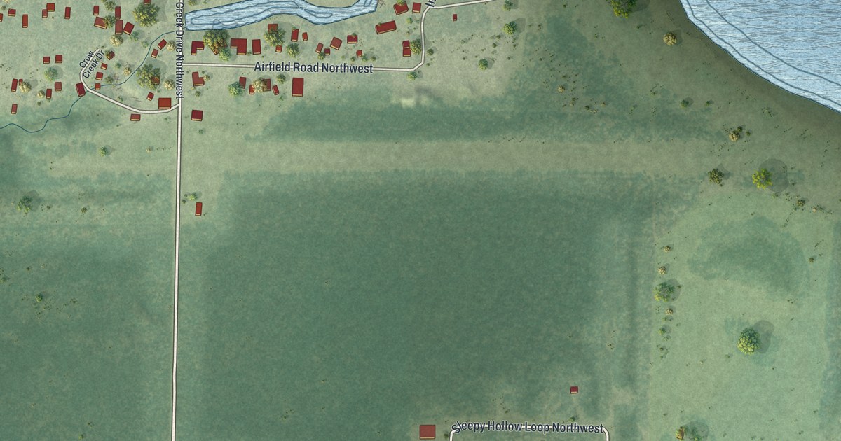
A detailed map of Angle Inlet, Minnesota, showing every building in its true location, the roads by name, and shaded topographical relief.
Read More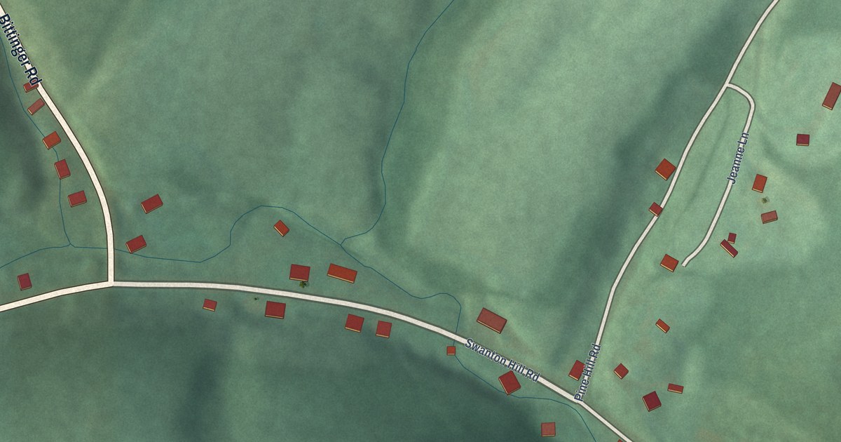
A detailed map of Swanton, Maryland, showing every building in its true location, the roads by name, and shaded topographical relief.
Read More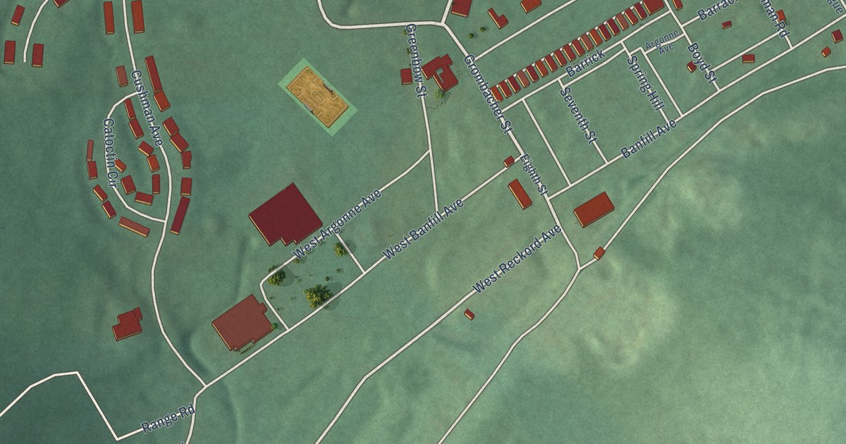
A detailed map of Fort Ritchie, Maryland, showing every building in its true location, the roads by name, and shaded topographical relief.
Read More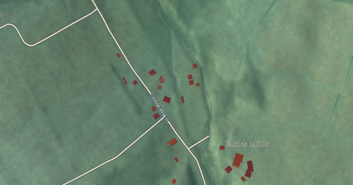
A detailed map of Eakles Mill, Maryland, showing every building in its true location, the roads by name, and shaded topographical relief.
Read More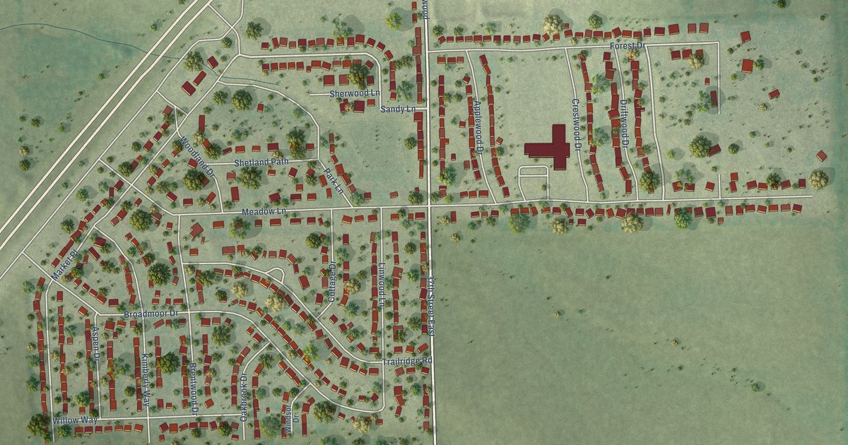
A detailed map of Woodland Park, Nebraska, showing every building in its true location, the roads by name, and shaded topographical relief.
Read More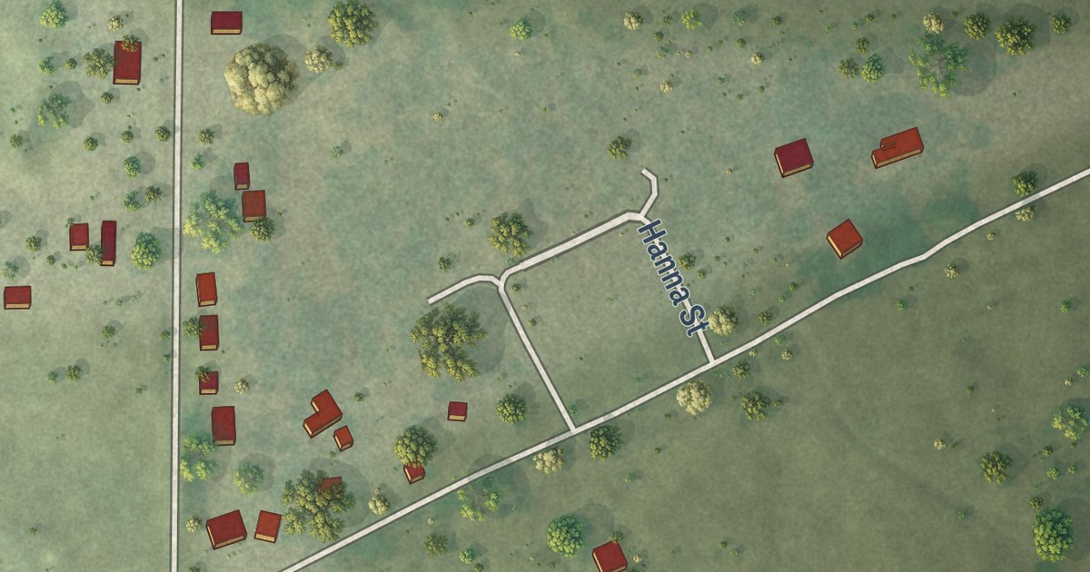
A detailed map of Poole, Nebraska, showing every building in its true location, the roads by name, and shaded topographical relief.
Read More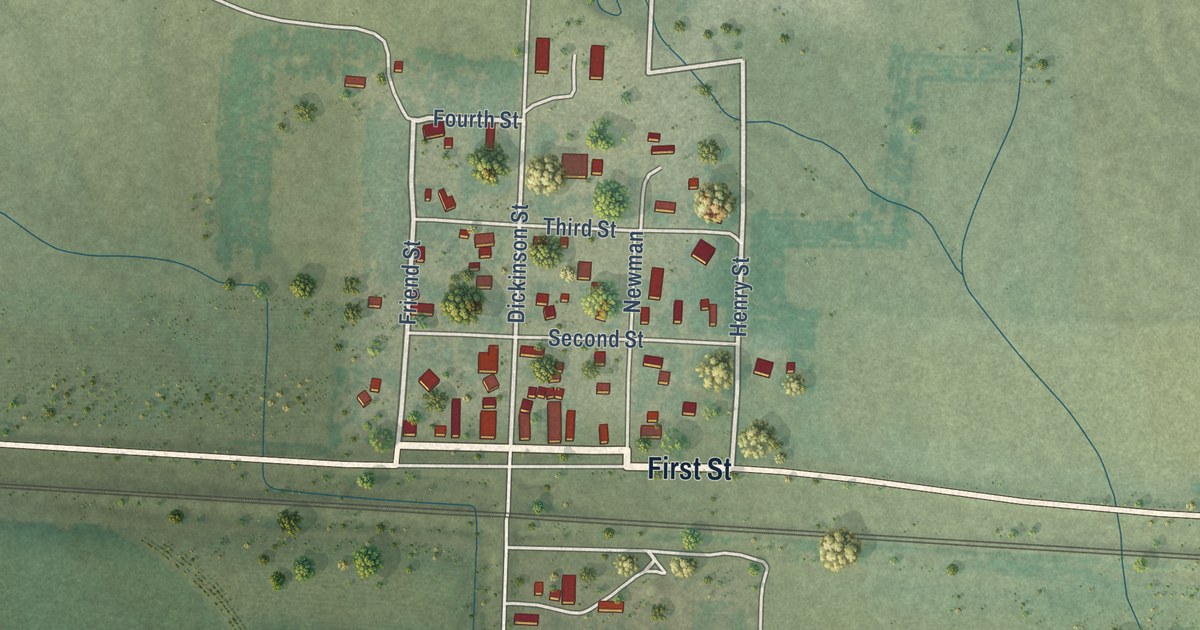
A detailed map of Sunol, Nebraska, showing every building in its true location, the roads by name, and shaded topographical relief.
Read More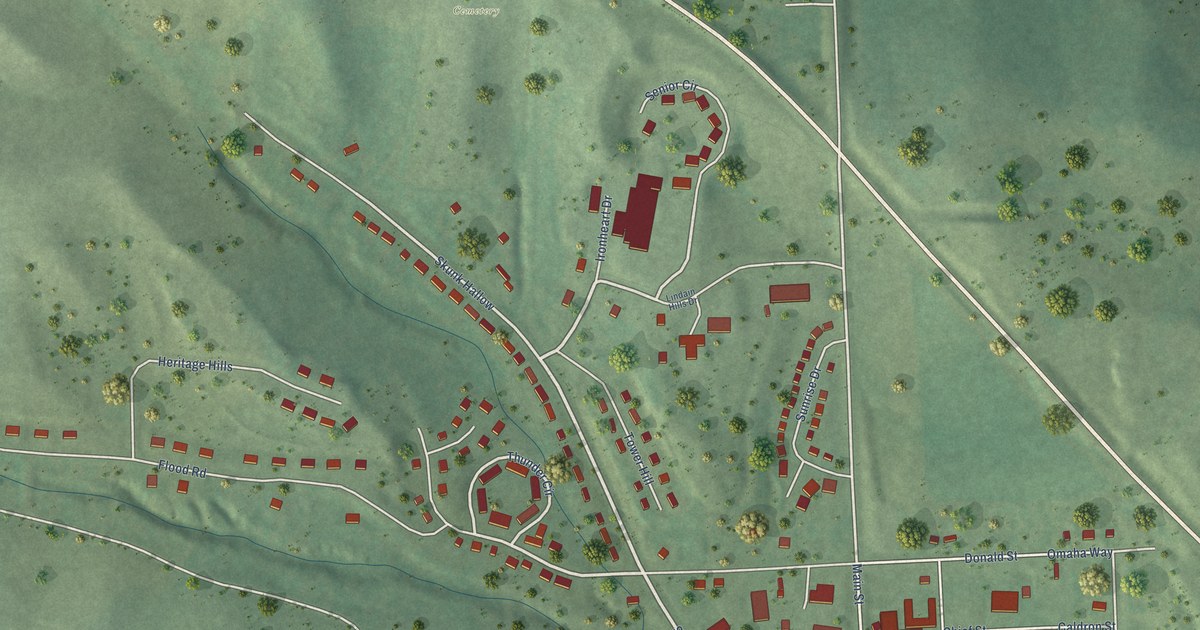
A detailed map of Macy, Nebraska, showing every building in its true location, the roads by name, and shaded topographical relief.
Read More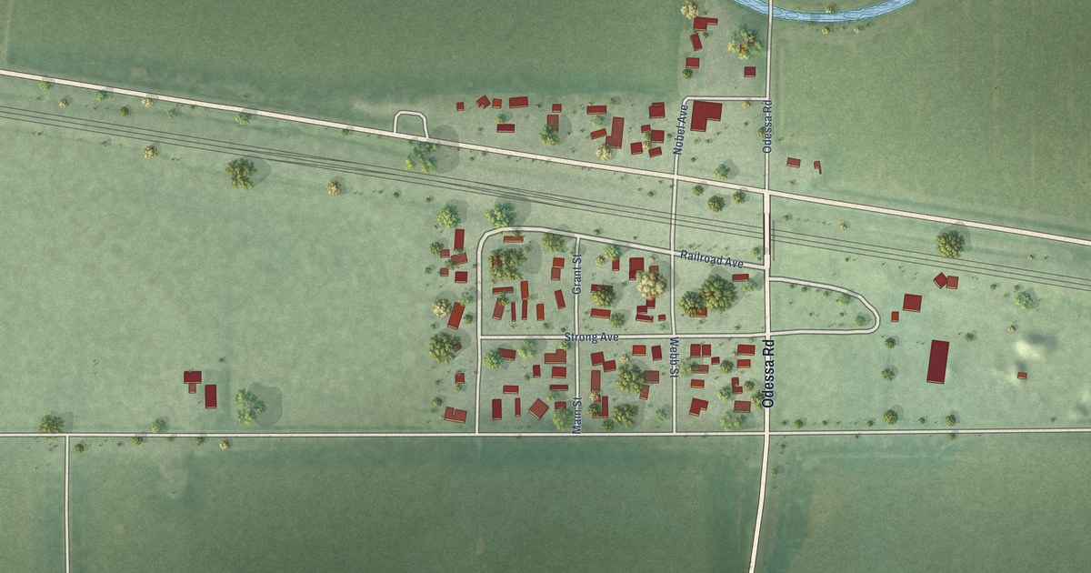
A detailed map of Odessa, Nebraska, showing every building in its true location, the roads by name, and shaded topographical relief.
Read More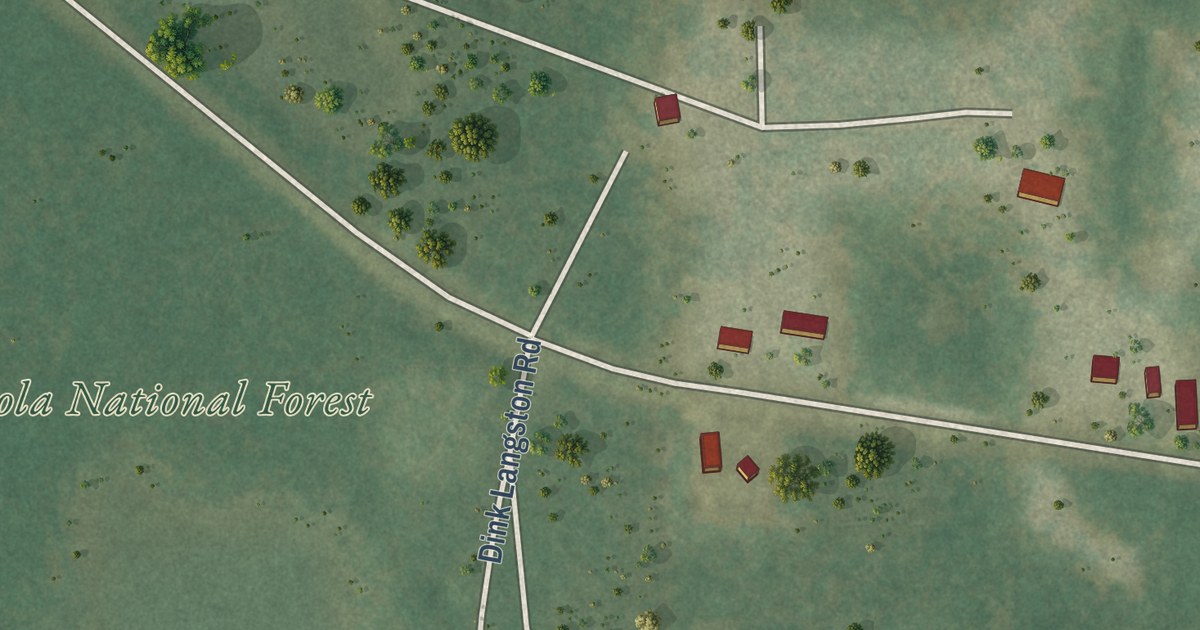
A detailed map of Sumatra, Florida, showing every building in its true location, the roads by name, and shaded topographical relief.
Read More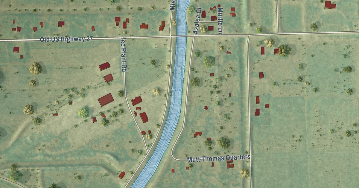
A detailed map of Lake Harbor, Florida, showing every building in its true location, the roads by name, and shaded topographical relief.
Read More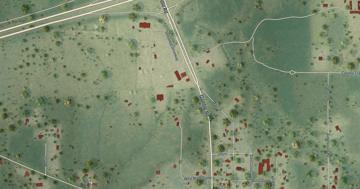
A detailed map of Lloyd, Florida, showing every building in its true location, the roads by name, and shaded topographical relief.
Read More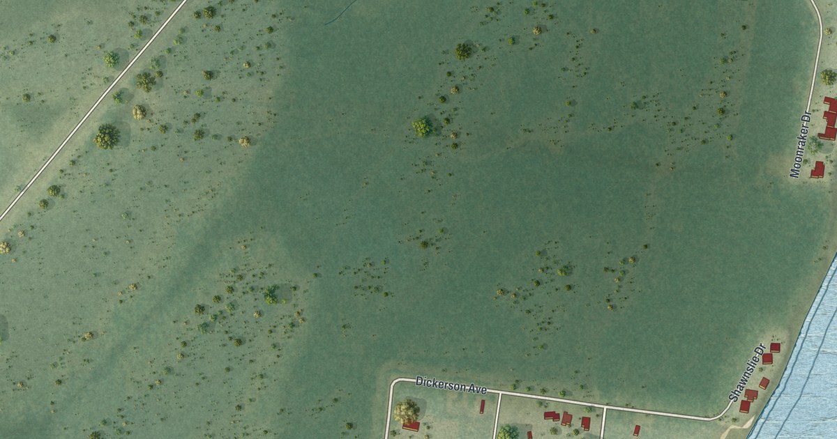
A detailed map of Dickerson City, Florida, showing every building in its true location, the roads by name, and shaded topographical relief.
Read More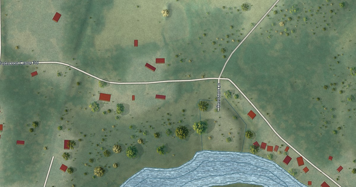
A detailed map of Istachatta, Florida, showing every building in its true location, the roads by name, and shaded topographical relief.
Read More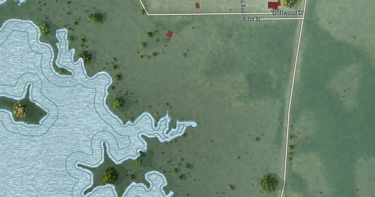
A detailed map of Bayport, Florida, showing every building in its true location, the roads by name, and shaded topographical relief.
Read More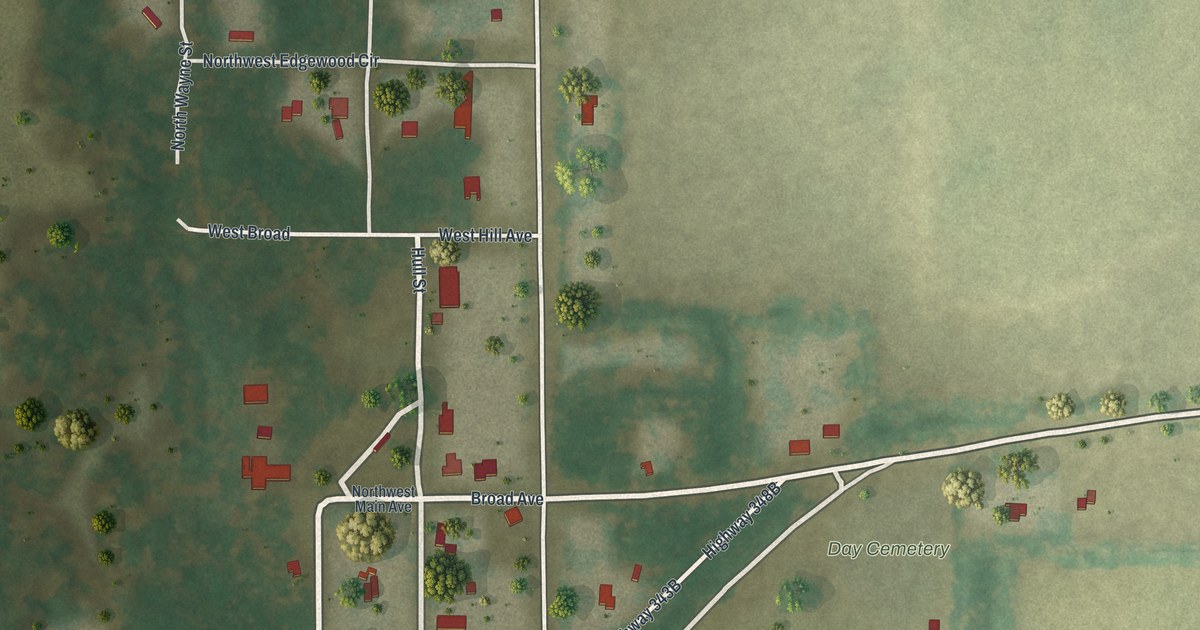
A detailed map of Day, Florida, showing every building in its true location, the roads by name, and shaded topographical relief.
Read More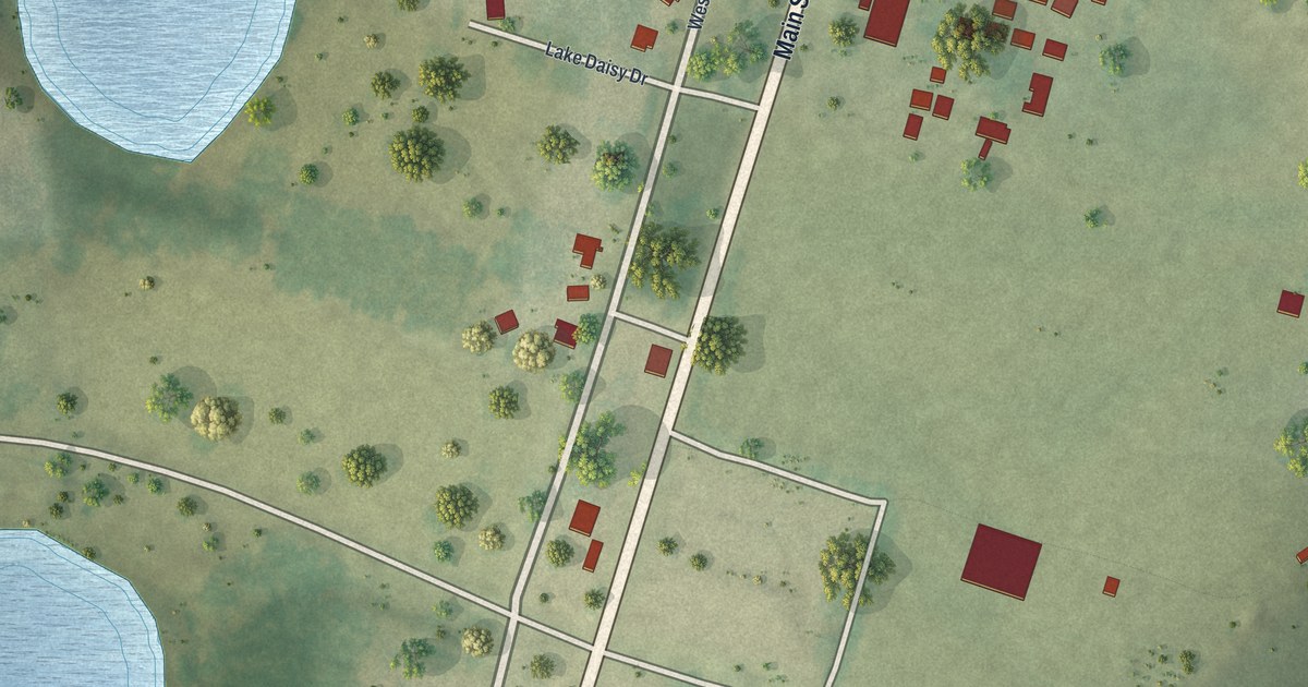
A detailed map of Altoona, Florida, showing every building in its true location, the roads by name, and shaded topographical relief.
Read More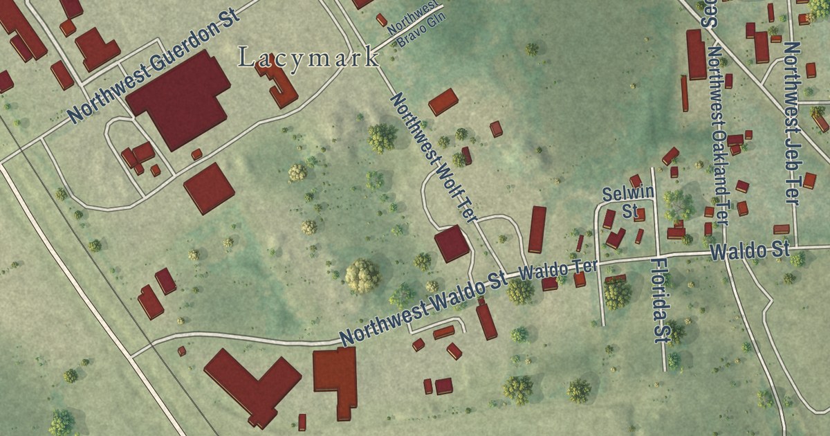
A detailed map of Five Points, Florida, showing every building in its true location, the roads by name, and shaded topographical relief.
Read More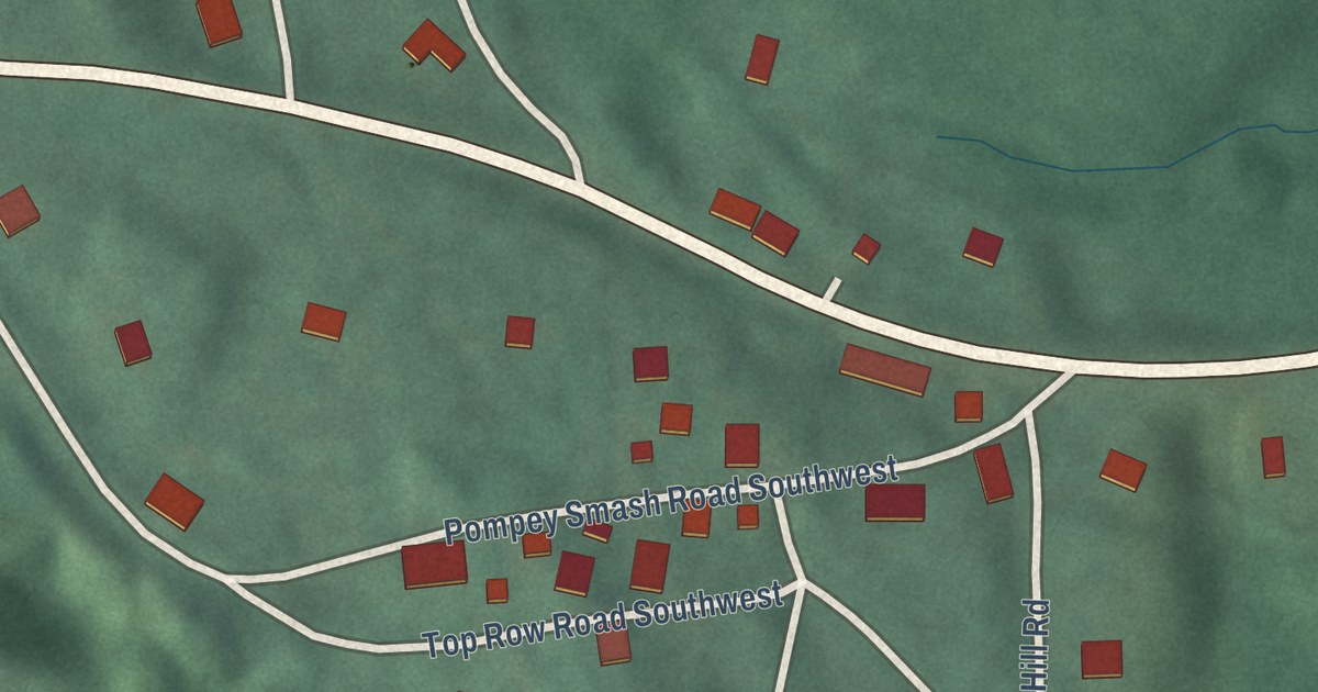
A detailed map of Vale Summit, Maryland, showing every building in its true location, the roads by name, and shaded topographical relief.
Read More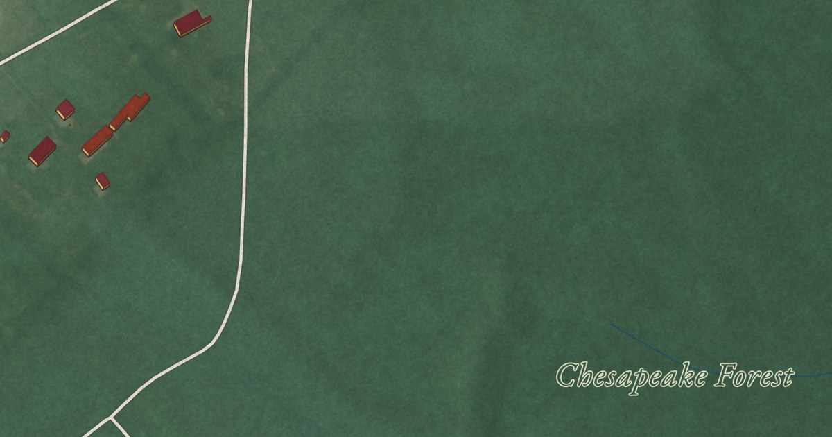
A detailed map of Stockton, Maryland, showing every building in its true location, the roads by name, and shaded topographical relief.
Read More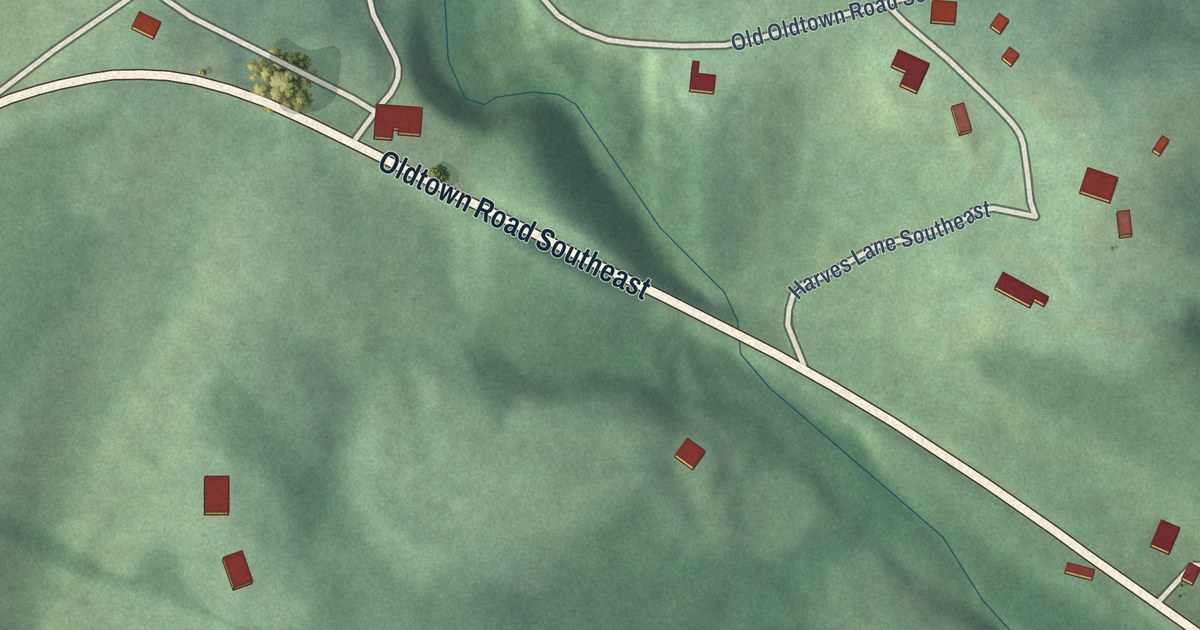
A detailed map of Spring Gap, Maryland, showing every building in its true location, the roads by name, and shaded topographical relief.
Read More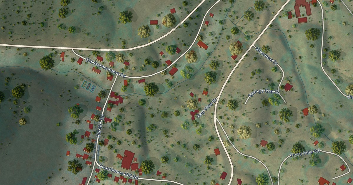
A detailed map of Warm Springs, Virginia, showing every building in its true location, the roads by name, and shaded topographical relief.
Read More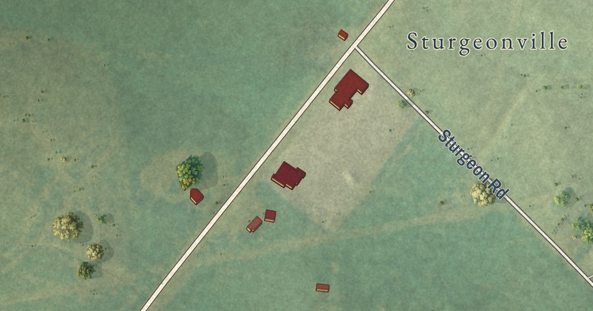
A detailed map of Warfield, Virginia, showing every building in its true location, the roads by name, and shaded topographical relief.
Read More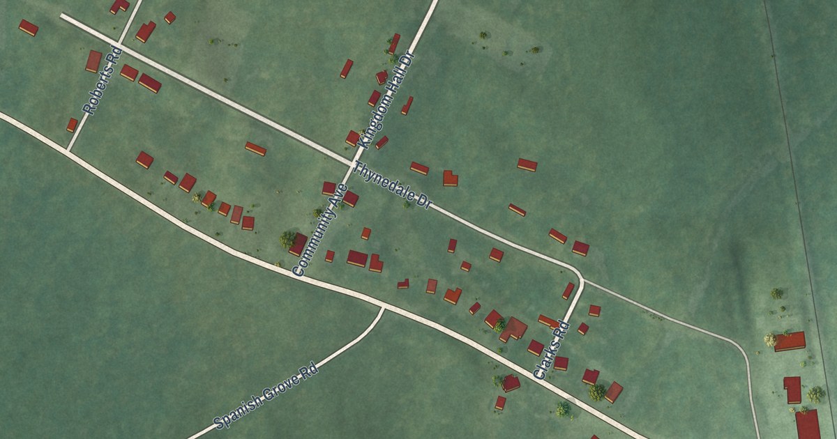
A detailed map of Thynedale, Virginia, showing every building in its true location, the roads by name, and shaded topographical relief.
Read More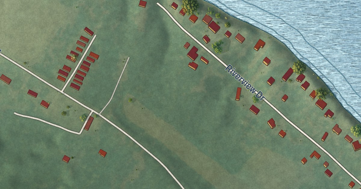
A detailed map of Scotland, Virginia, showing every building in its true location, the roads by name, and shaded topographical relief.
Read More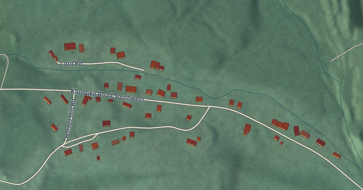
A detailed map of Klondike, Maryland, showing every building in its true location, the roads by name, and shaded topographical relief.
Read More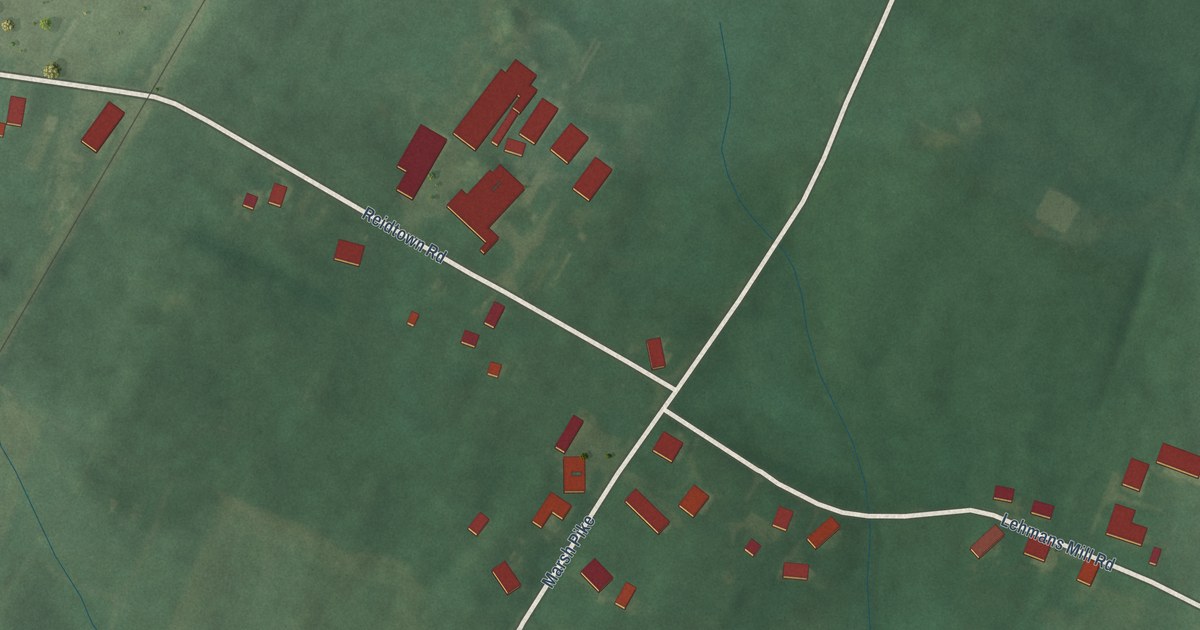
A detailed map of Reid, Maryland, showing every building in its true location, the roads by name, and shaded topographical relief.
Read More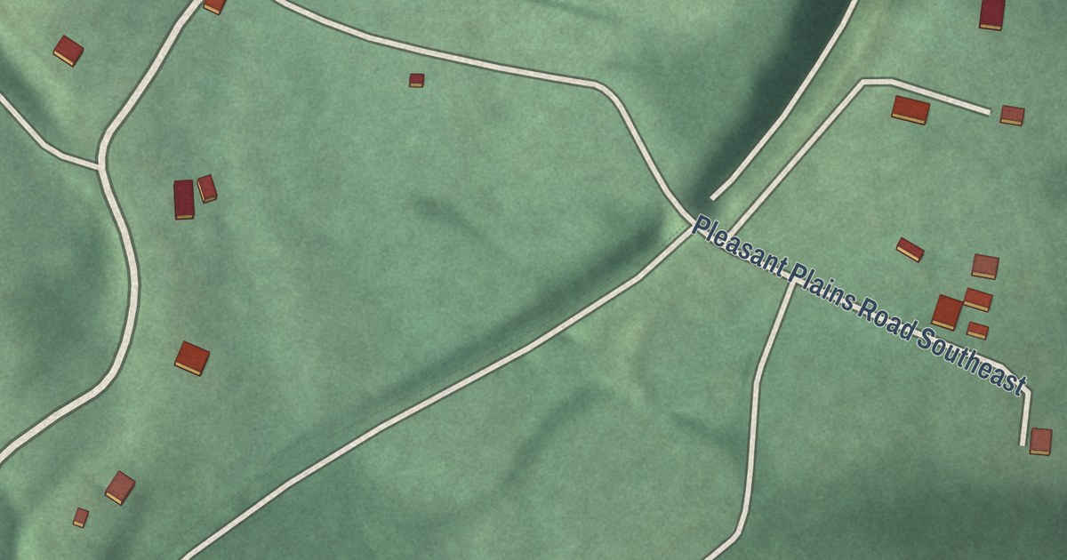
A detailed map of Little Orleans, Maryland, showing every building in its true location, the roads by name, and shaded topographical relief.
Read More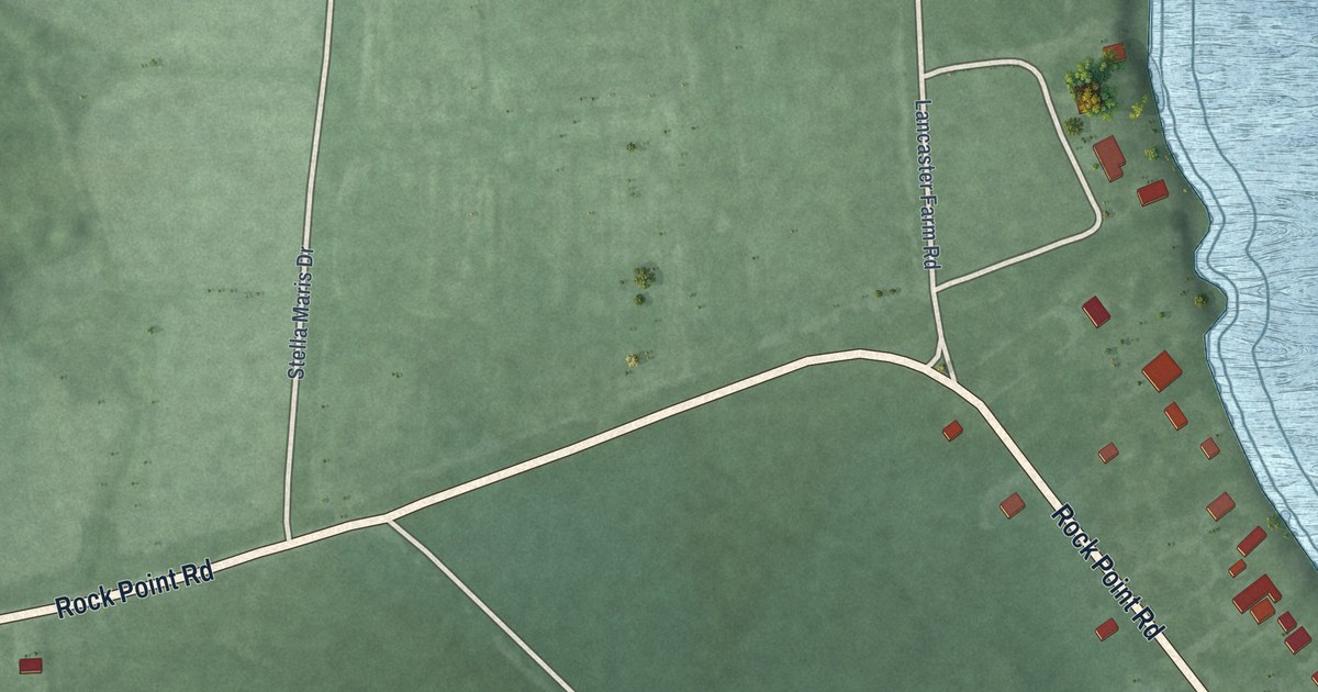
A detailed map of Rock Point, Maryland, showing every building in its true location, the roads by name, and shaded topographical relief.
Read More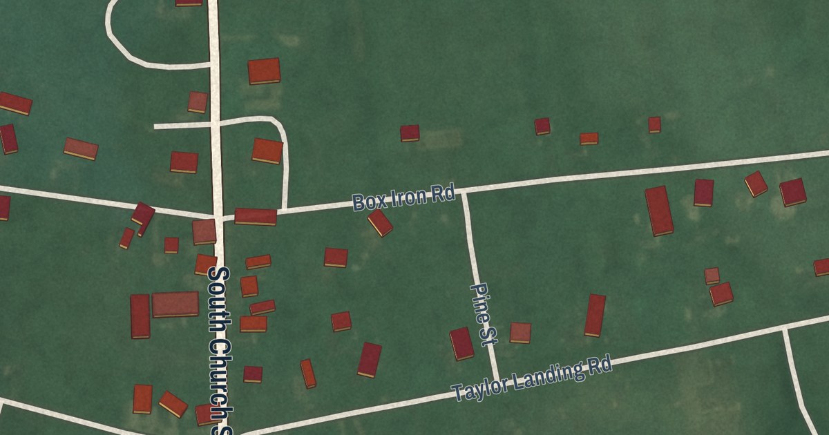
A detailed map of Girdletree, Maryland, showing every building in its true location, the roads by name, and shaded topographical relief.
Read More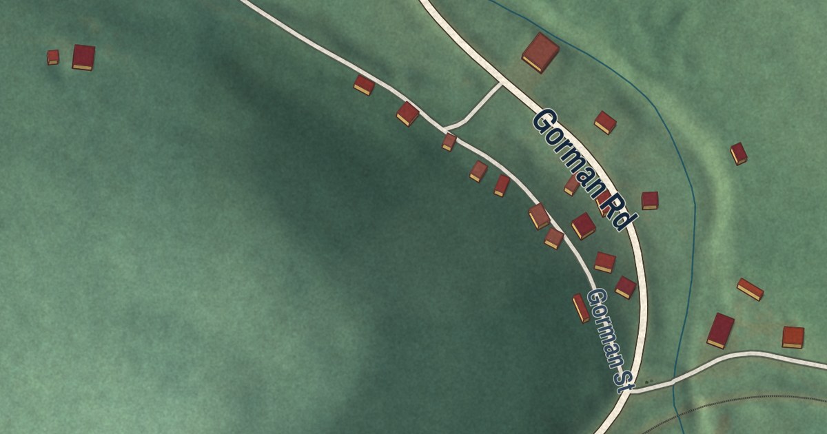
A detailed map of Gorman, Maryland, showing every building in its true location, the roads by name, and shaded topographical relief.
Read More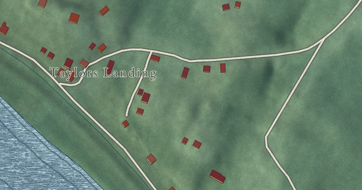
A detailed map of Mercersville, Maryland, showing every building in its true location, the roads by name, and shaded topographical relief.
Read More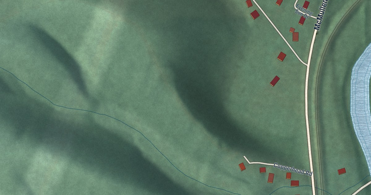
A detailed map of Dawson, Maryland, showing every building in its true location, the roads by name, and shaded topographical relief.
Read More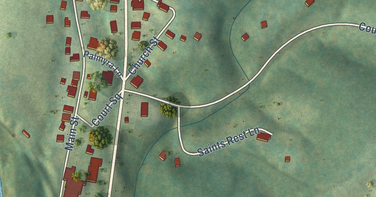
A detailed map of Palmyra, Virginia, showing every building in its true location, the roads by name, and shaded topographical relief.
Read More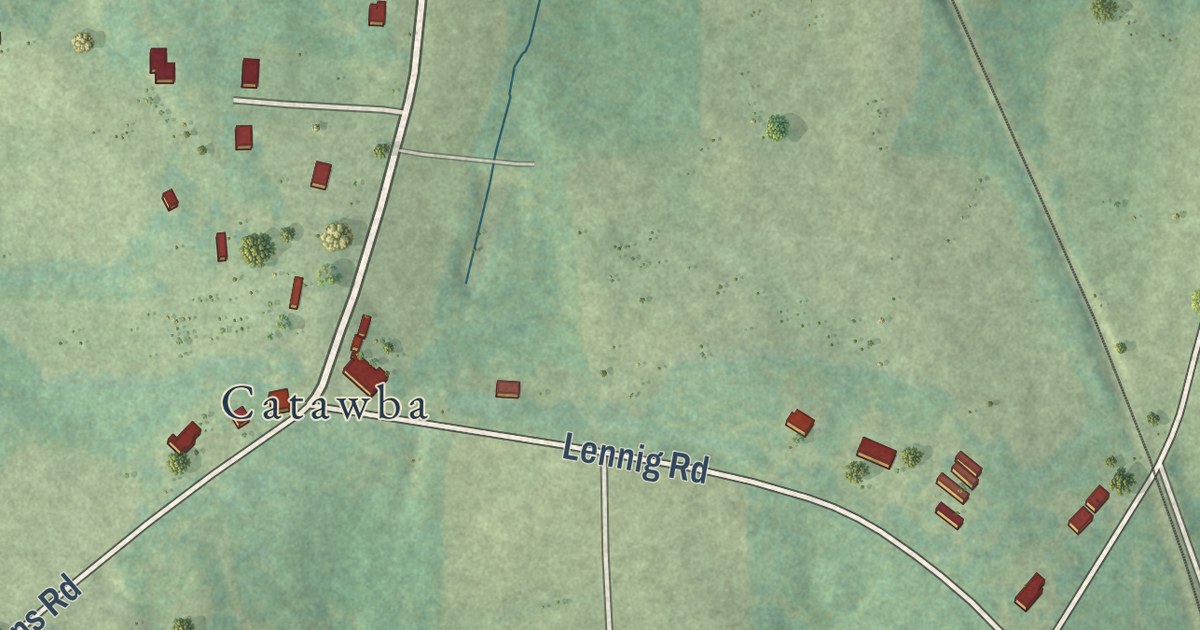
A detailed map of Nathalie, Virginia, showing every building in its true location, the roads by name, and shaded topographical relief.
Read More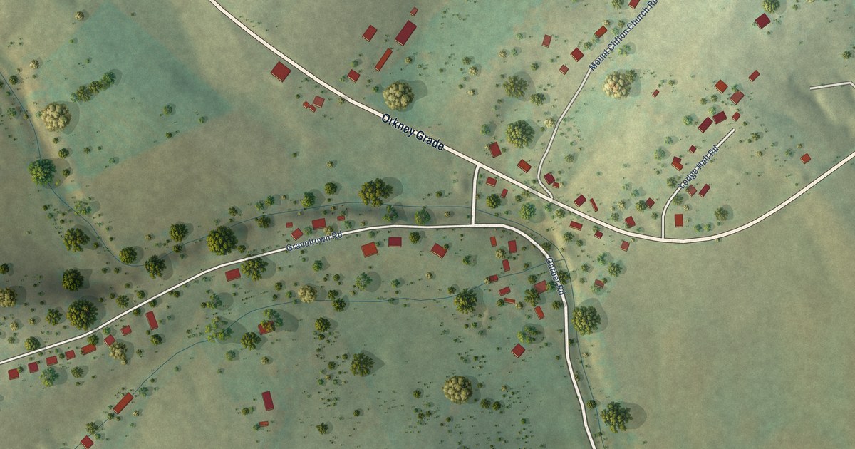
A detailed map of Mount Clifton, Virginia, showing every building in its true location, the roads by name, and shaded topographical relief.
Read More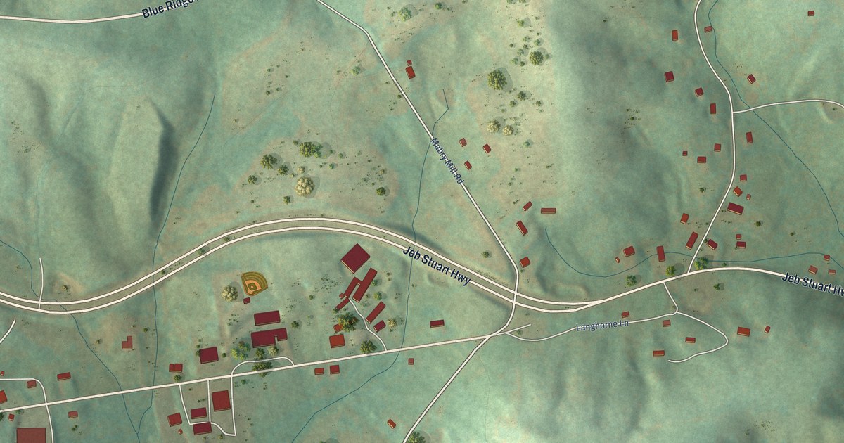
A detailed map of Meadows of Dan, Virginia, showing every building in its true location, the roads by name, and shaded topographical relief.
Read More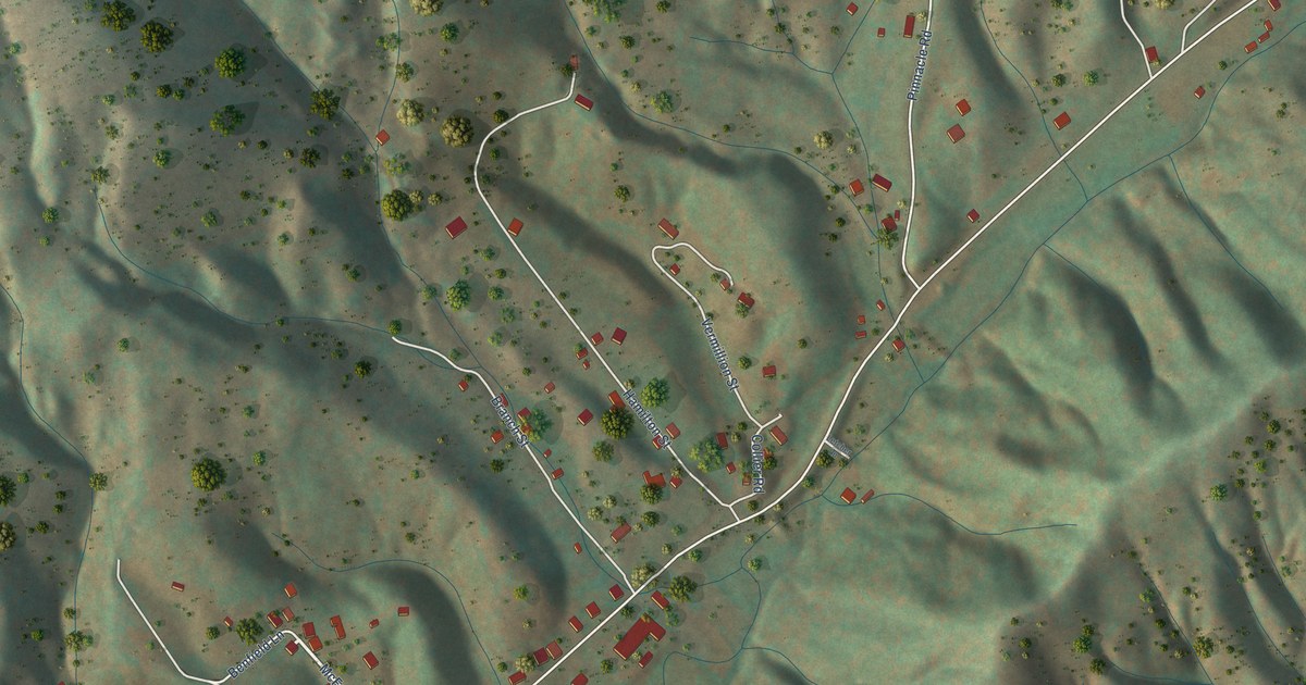
A detailed map of Mendota, Virginia, showing every building in its true location, the roads by name, and shaded topographical relief.
Read More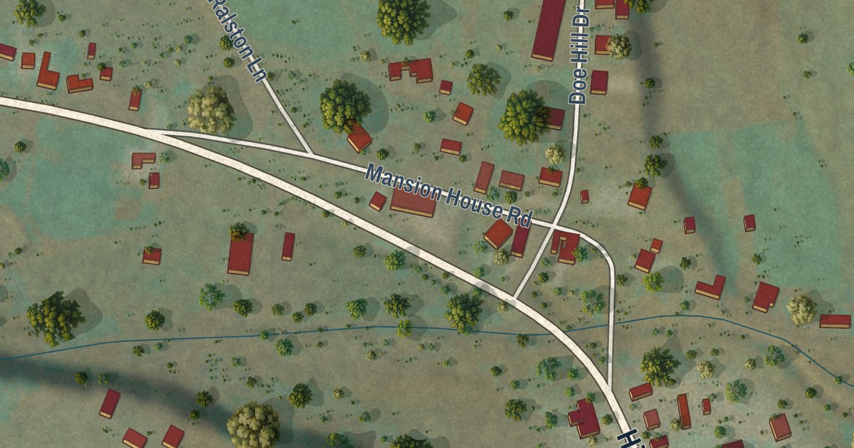
A detailed map of McDowell, Virginia, showing every building in its true location, the roads by name, and shaded topographical relief.
Read More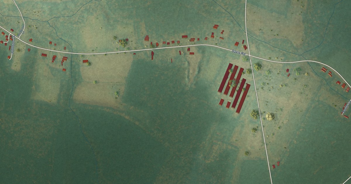
A detailed map of Makemie Park, Virginia, showing every building in its true location, the roads by name, and shaded topographical relief.
Read More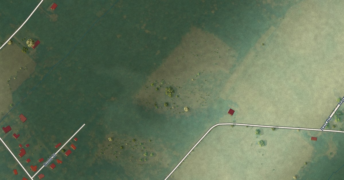
A detailed map of Lee Mont, Virginia, showing every building in its true location, the roads by name, and shaded topographical relief.
Read More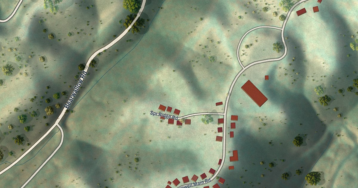
A detailed map of Jewell Ridge, Virginia, showing every building in its true location, the roads by name, and shaded topographical relief.
Read More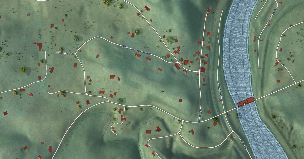
A detailed map of Eggleston, Virginia, showing every building in its true location, the roads by name, and shaded topographical relief.
Read More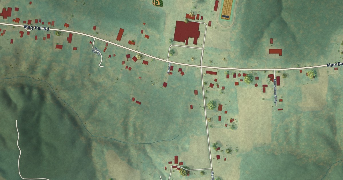
A detailed map of Lancaster, Virginia, showing every building in its true location, the roads by name, and shaded topographical relief.
Read More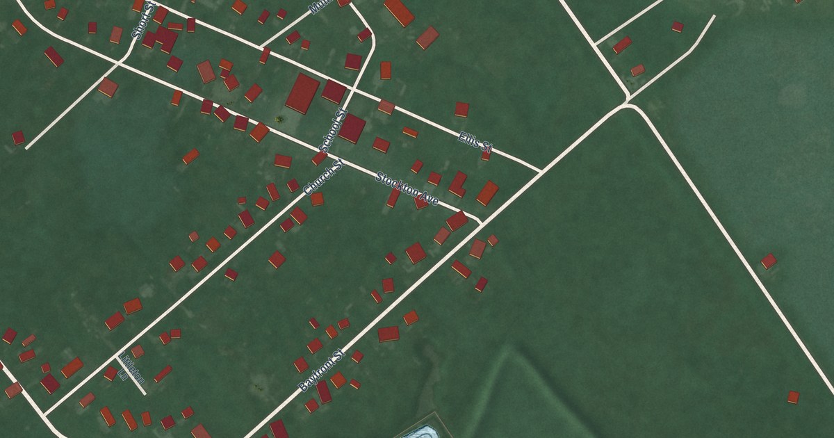
A detailed map of Greenbackville, Virginia, showing every building in its true location, the roads by name, and shaded topographical relief.
Read More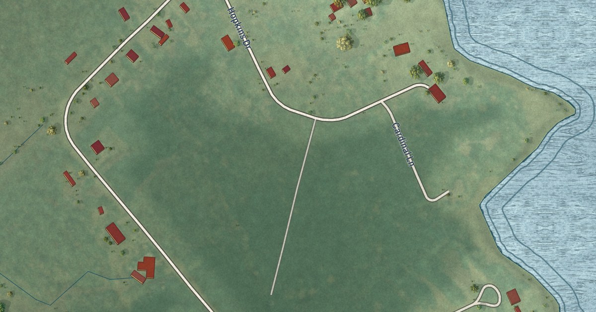
A detailed map of Deep Creek, Virginia, showing every building in its true location, the roads by name, and shaded topographical relief.
Read More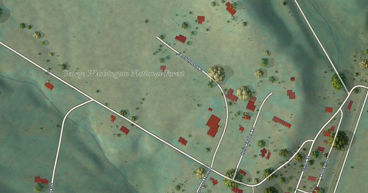
A detailed map of Glen Wilton, Virginia, showing every building in its true location, the roads by name, and shaded topographical relief.
Read More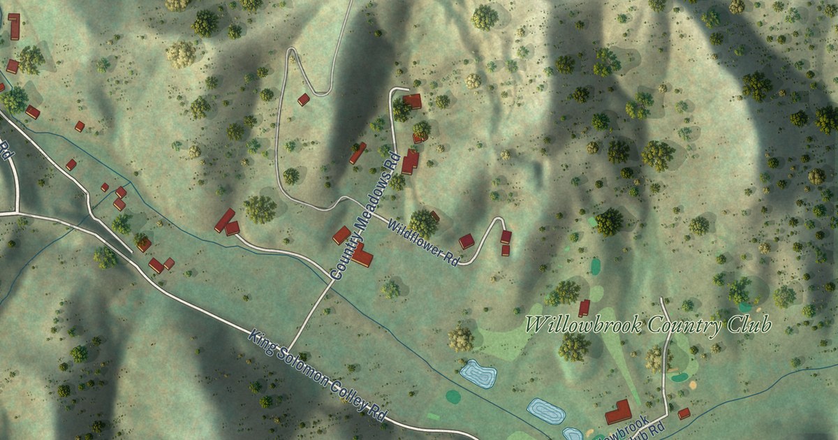
A detailed map of Breaks, Virginia, showing every building in its true location, the roads by name, and shaded topographical relief.
Read More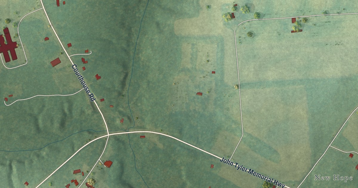
A detailed map of Charles City, Virginia, showing every building in its true location, the roads by name, and shaded topographical relief.
Read More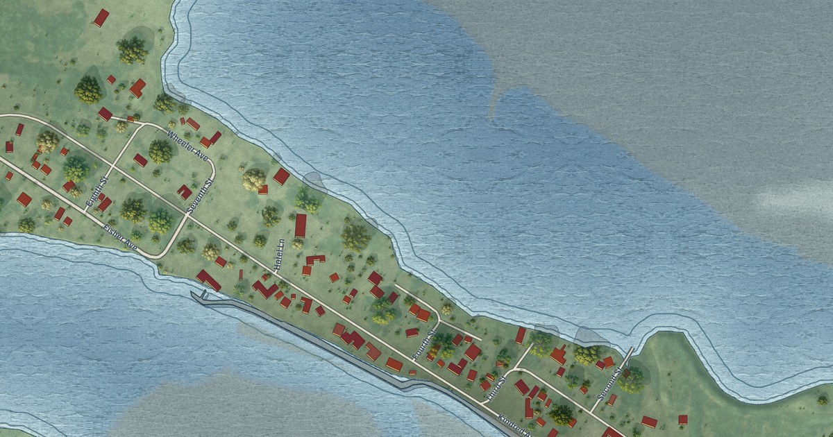
A detailed map of Tokeland, Washington, showing every building in its true location, the roads by name, and shaded topographical relief.
Read More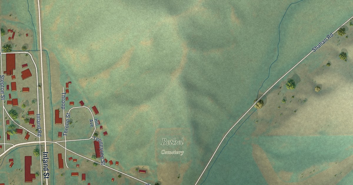
A detailed map of Steptoe, Washington, showing every building in its true location, the roads by name, and shaded topographical relief.
Read More















