Detailed Map of Browns Lake, Wisconsin
A detailed map of Browns Lake, Wisconsin, showing every building in its true location, the roads by name, and shaded topographical relief.
Read More
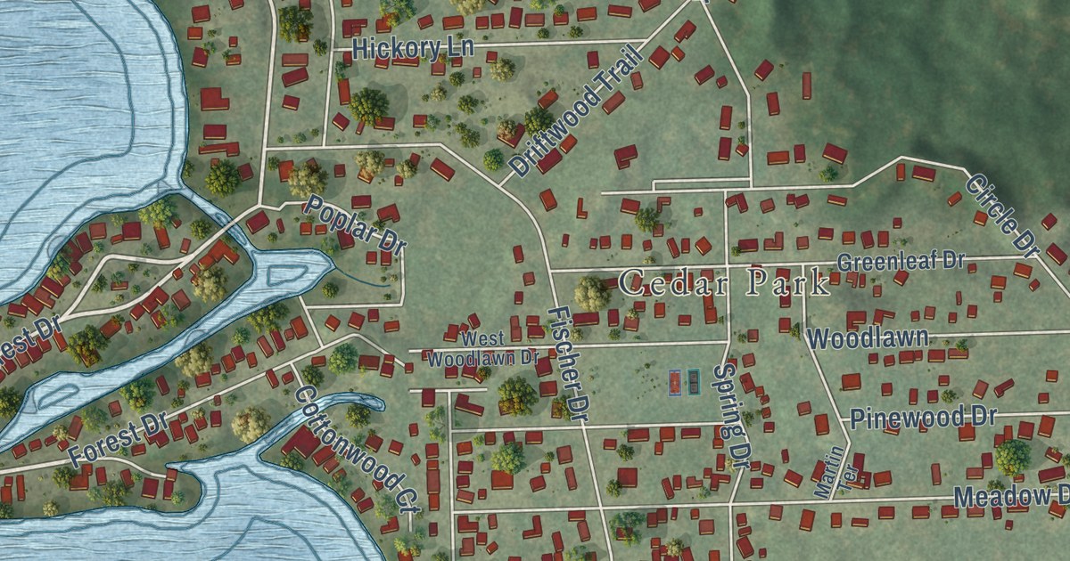
A detailed map of Browns Lake, Wisconsin, showing every building in its true location, the roads by name, and shaded topographical relief.
Read More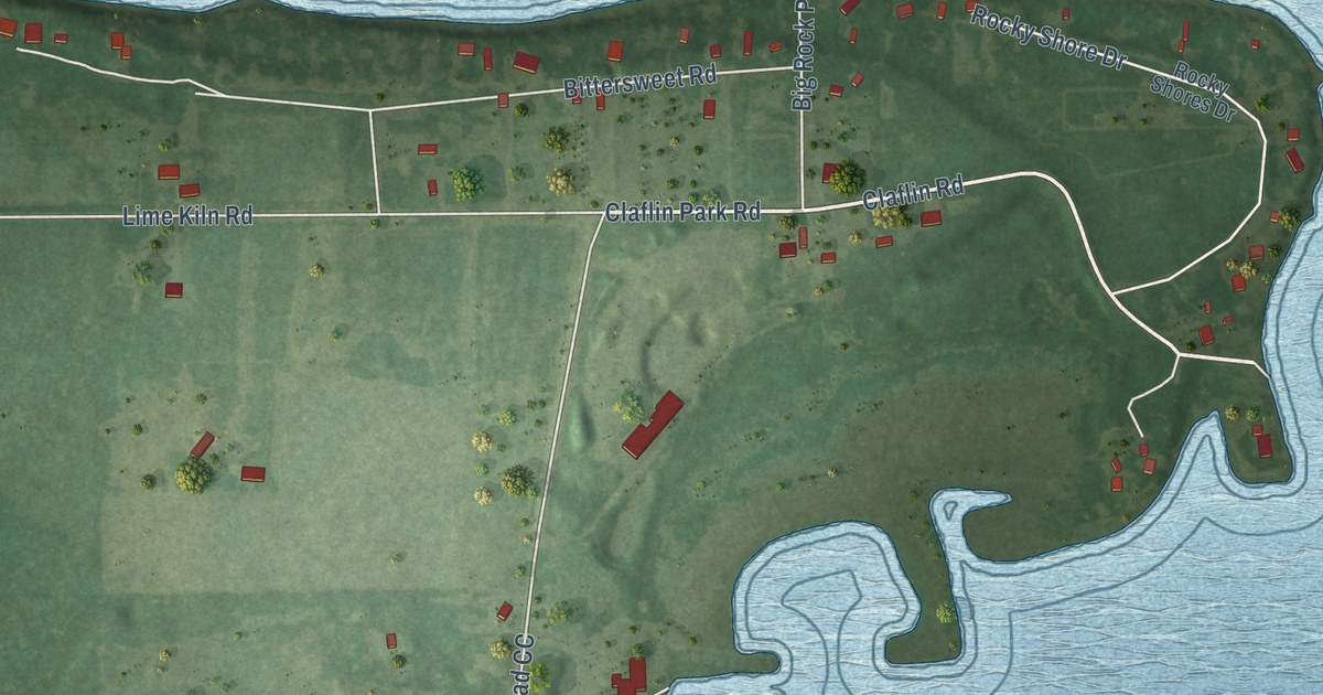
A detailed map of Little Sturgeon, Wisconsin, showing every building in its true location, the roads by name, and shaded topographical relief.
Read More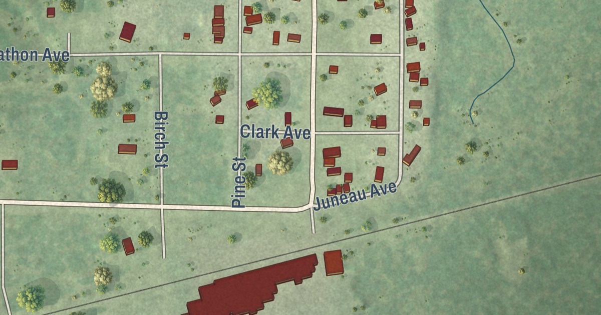
A detailed map of Babcock, Wisconsin, showing every building in its true location, the roads by name, and shaded topographical relief.
Read More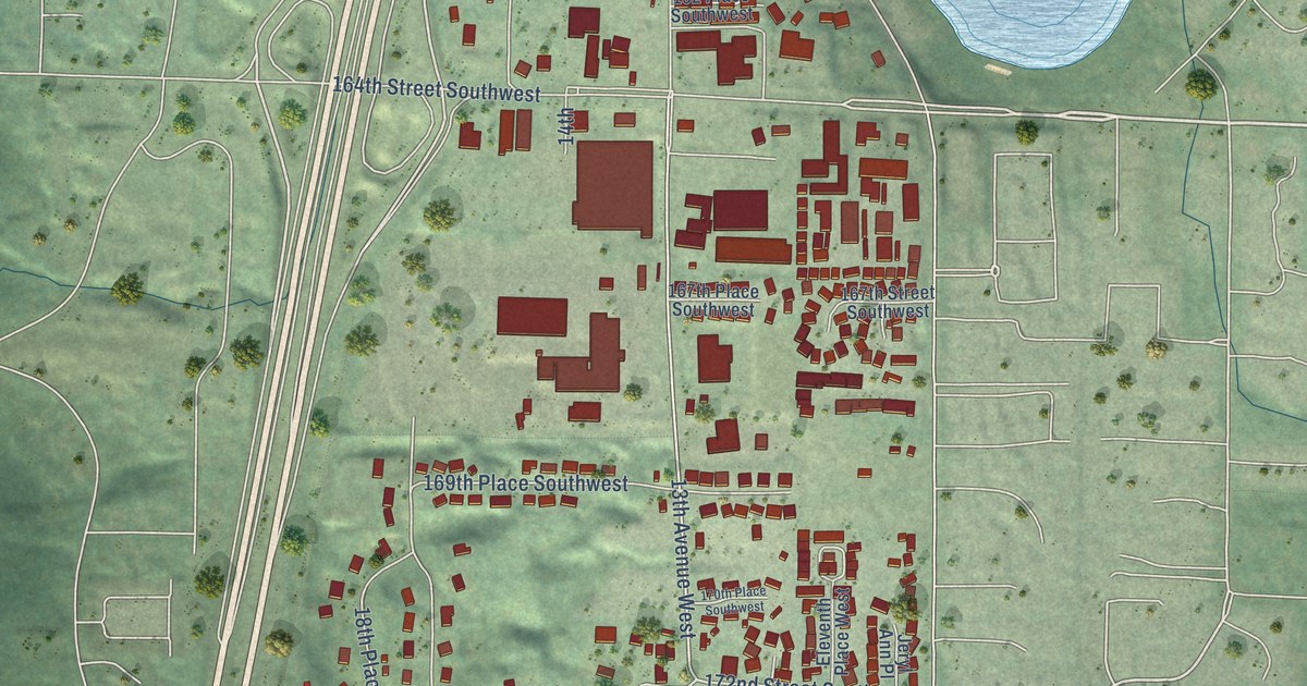
A detailed map of Larch Way, Washington, showing every building in its true location, the roads by name, and shaded topographical relief.
Read More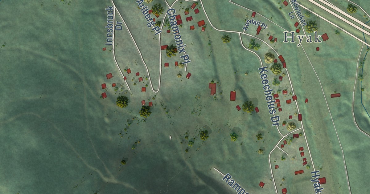
A detailed map of Snoqualmie Pass, Washington, showing every building in its true location, the roads by name, and shaded topographical relief.
Read More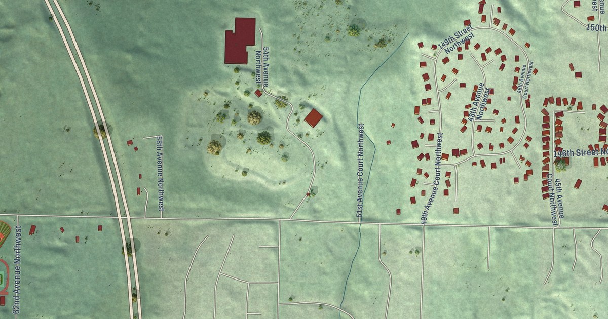
A detailed map of Purdy, Washington, showing every building in its true location, the roads by name, and shaded topographical relief.
Read More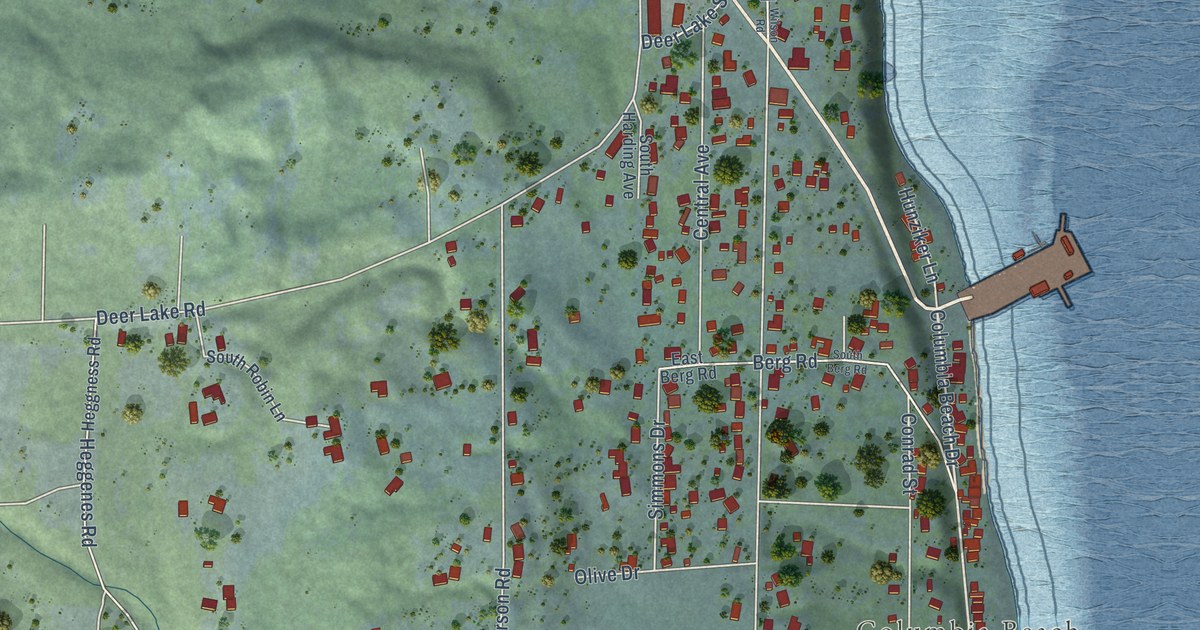
A detailed map of Clinton, Washington, showing every building in its true location, the roads by name, and shaded topographical relief.
Read More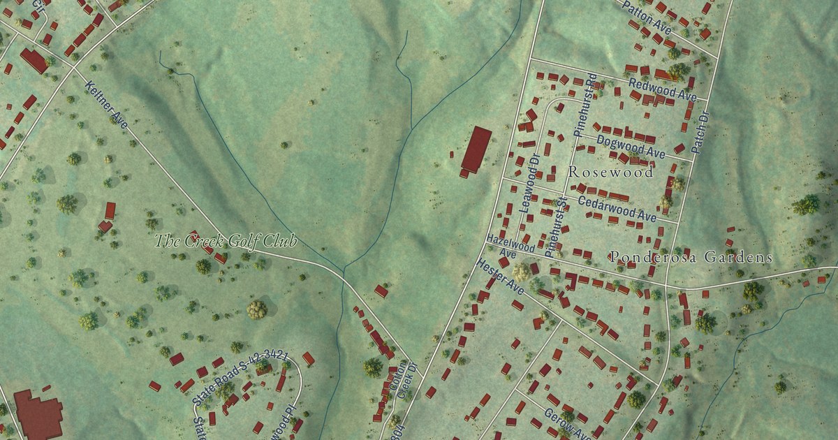
A detailed map of Camp Croft, South Carolina, showing every building in its true location, the roads by name, and shaded topographical relief.
Read More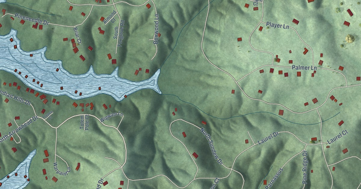
A detailed map of Chickasaw Point, South Carolina, showing every building in its true location, the roads by name, and shaded topographical relief.
Read More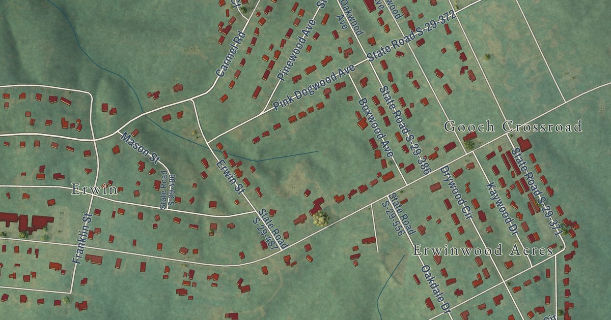
A detailed map of Irwin, South Carolina, showing every building in its true location, the roads by name, and shaded topographical relief.
Read More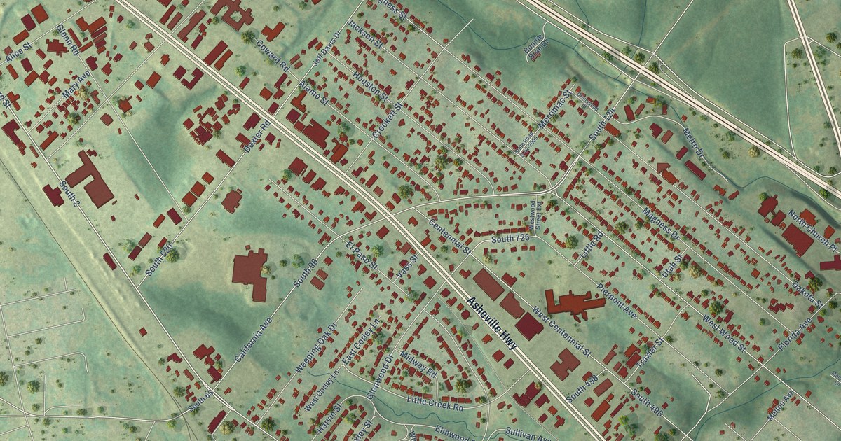
A detailed map of Hilltop, South Carolina, showing every building in its true location, the roads by name, and shaded topographical relief.
Read More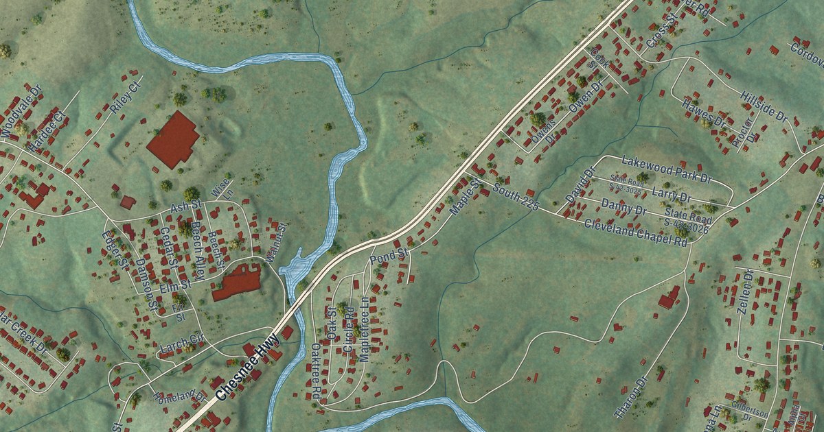
A detailed map of Whitney, South Carolina, showing every building in its true location, the roads by name, and shaded topographical relief.
Read More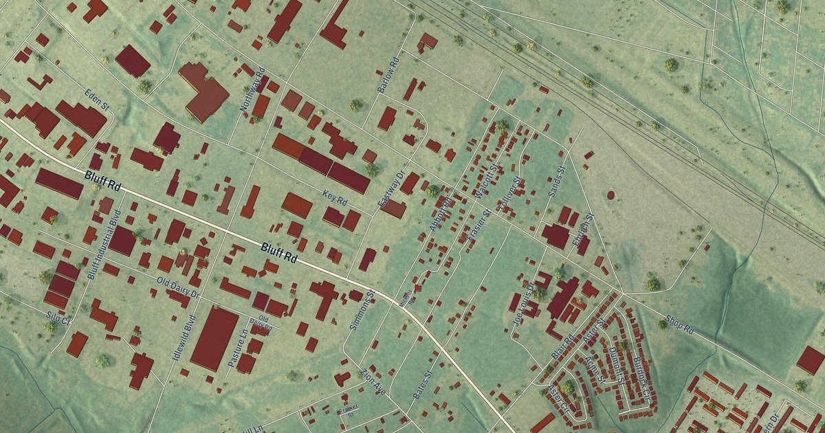
A detailed map of Arthurtown, South Carolina, showing every building in its true location, the roads by name, and shaded topographical relief.
Read More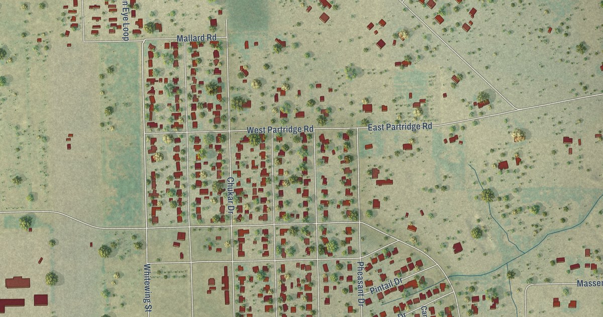
A detailed map of Quail Creek, Texas, showing every building in its true location, the roads by name, and shaded topographical relief.
Read More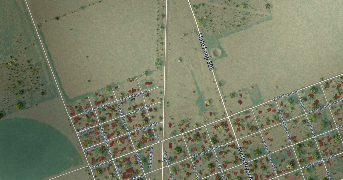
A detailed map of La Pryor, Texas, showing every building in its true location, the roads by name, and shaded topographical relief.
Read More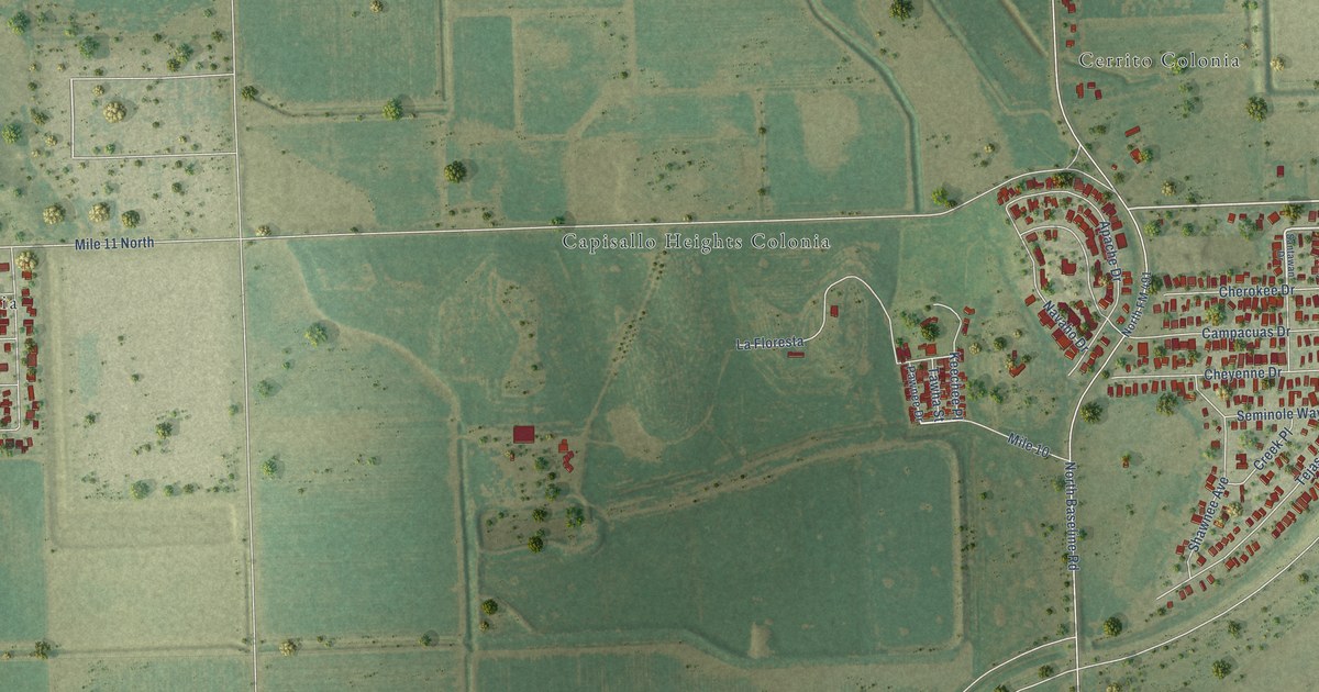
A detailed map of Indian Hills, Texas, showing every building in its true location, the roads by name, and shaded topographical relief.
Read More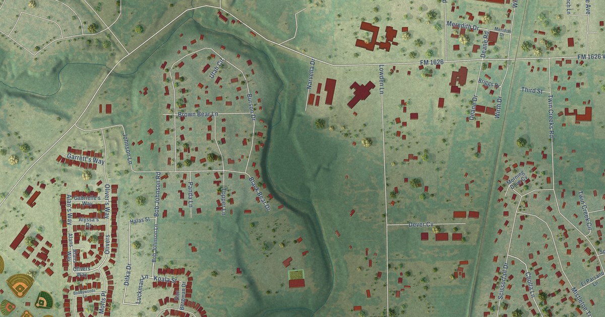
A detailed map of Manchaca, Texas, showing every building in its true location, the roads by name, and shaded topographical relief.
Read More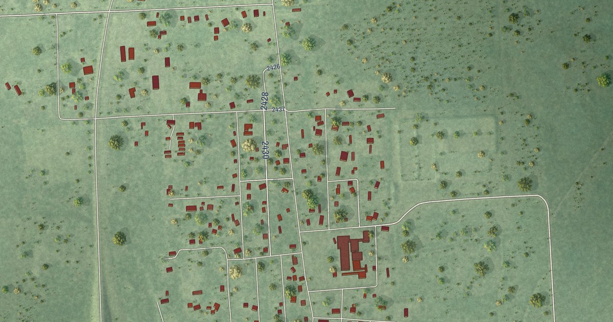
A detailed map of Hull, Texas, showing every building in its true location, the roads by name, and shaded topographical relief.
Read More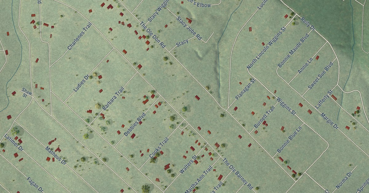
A detailed map of Indian Springs, Texas, showing every building in its true location, the roads by name, and shaded topographical relief.
Read More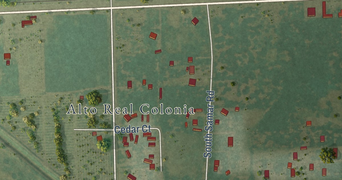
A detailed map of Bixby, Texas, showing every building in its true location, the roads by name, and shaded topographical relief.
Read More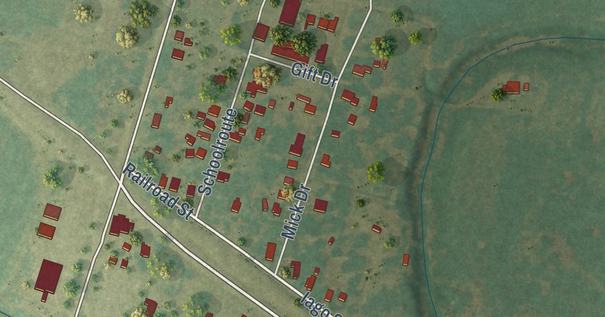
A detailed map of Iago, Texas, showing every building in its true location, the roads by name, and shaded topographical relief.
Read More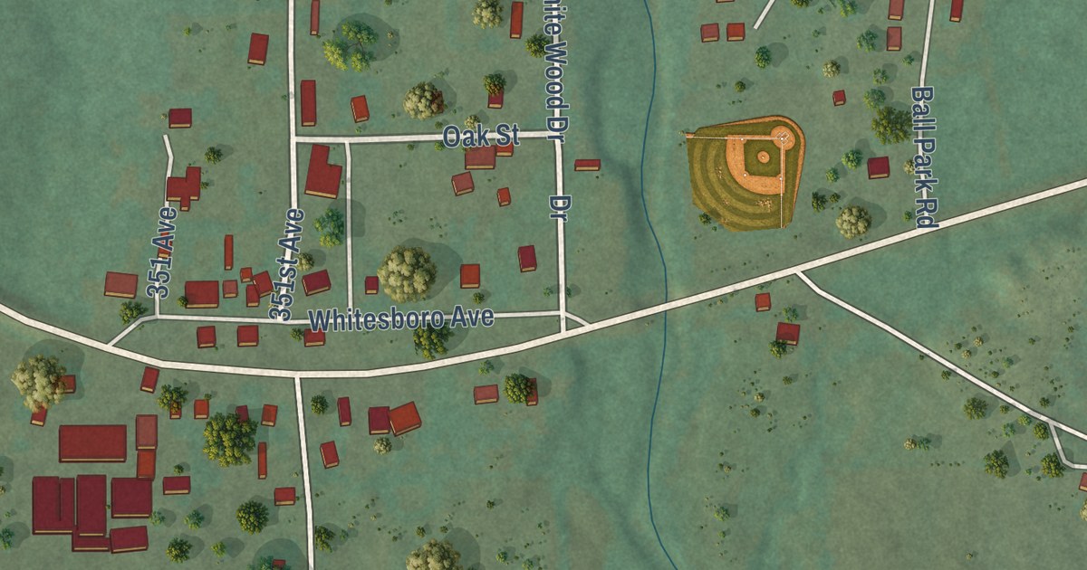
A detailed map of Whitesboro, Oklahoma, showing every building in its true location, the roads by name, and shaded topographical relief.
Read More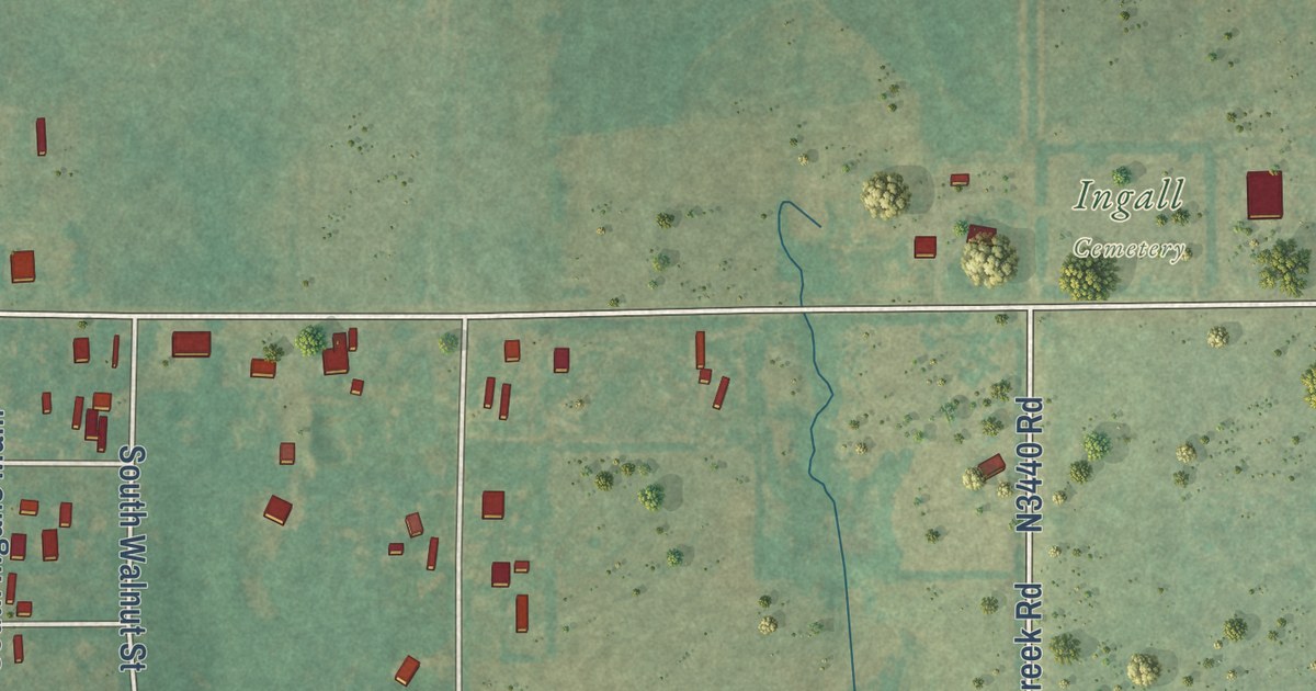
A detailed map of Ingalls, Oklahoma, showing every building in its true location, the roads by name, and shaded topographical relief.
Read More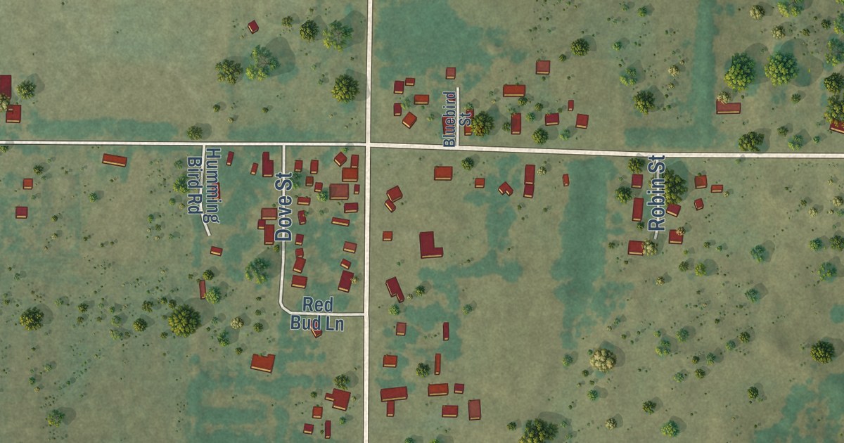
A detailed map of Chester, Oklahoma, showing every building in its true location, the roads by name, and shaded topographical relief.
Read More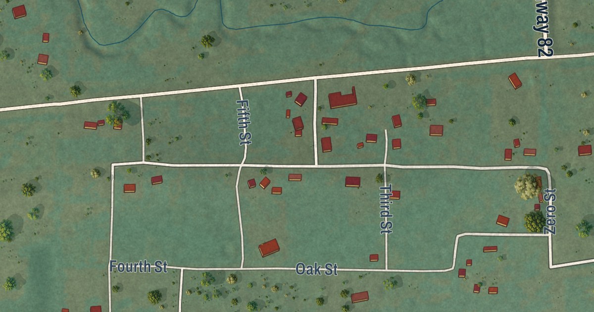
A detailed map of Lequire, Oklahoma, showing every building in its true location, the roads by name, and shaded topographical relief.
Read More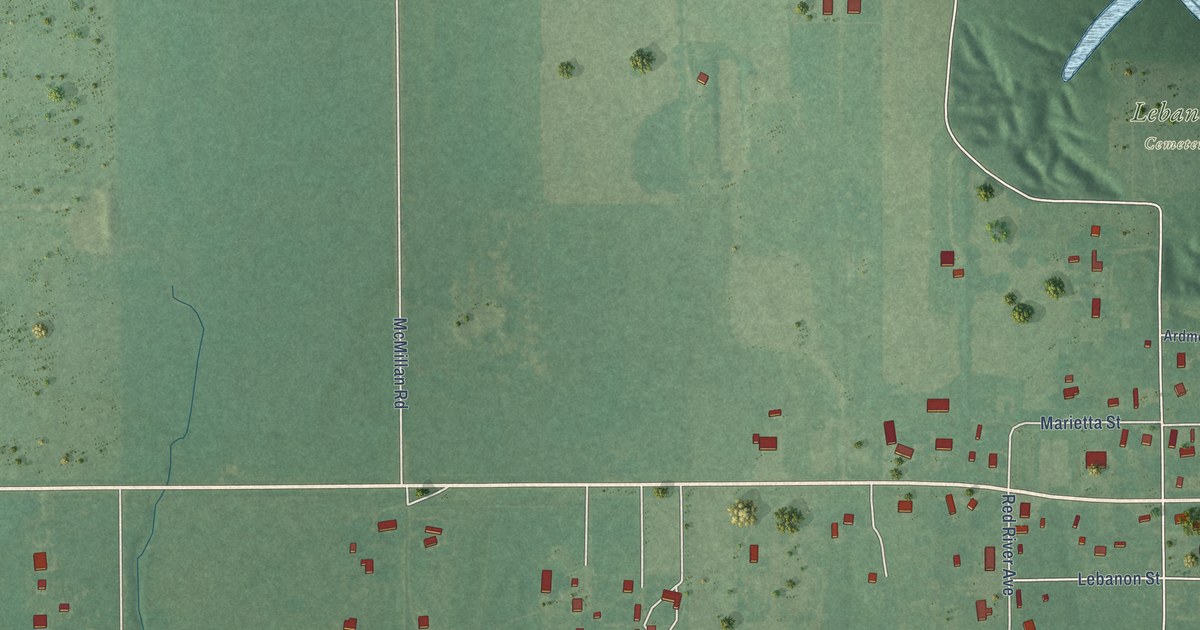
A detailed map of Lebanon, Oklahoma, showing every building in its true location, the roads by name, and shaded topographical relief.
Read More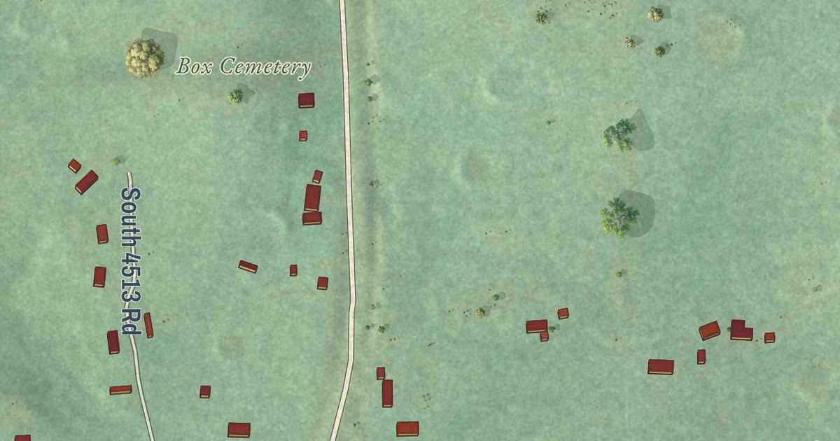
A detailed map of Box, Oklahoma, showing every building in its true location, the roads by name, and shaded topographical relief.
Read More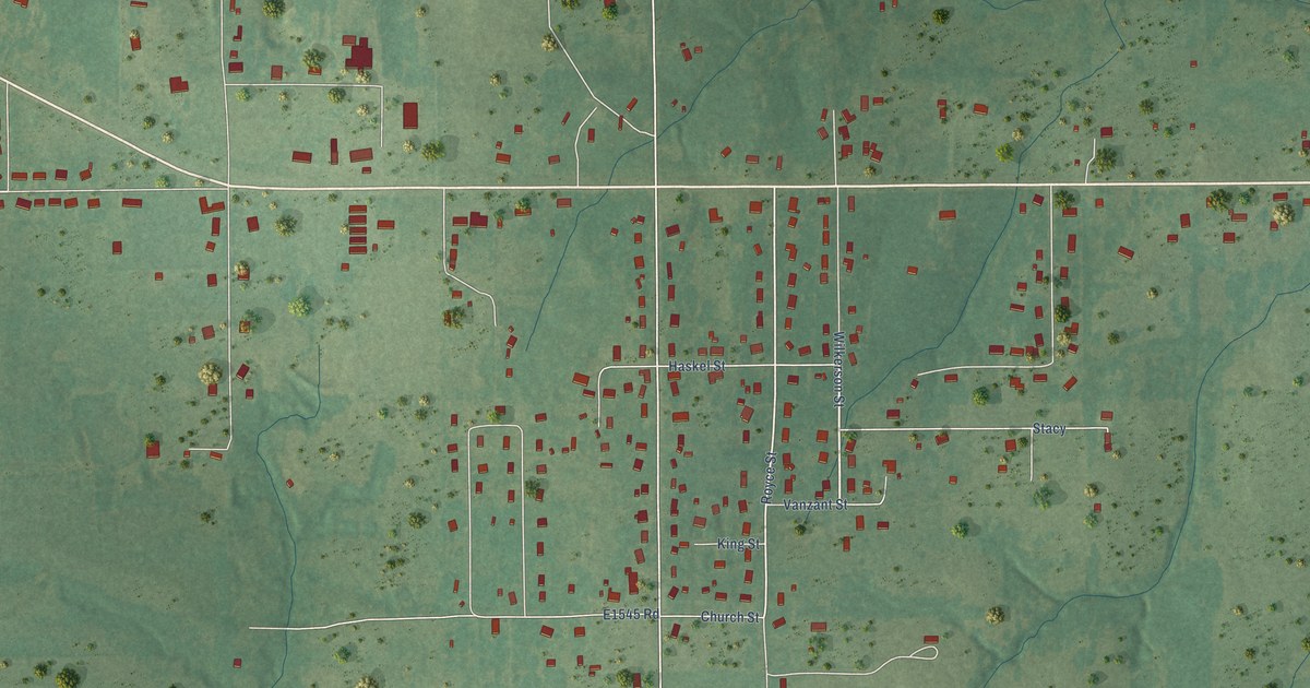
A detailed map of Pickett, Oklahoma, showing every building in its true location, the roads by name, and shaded topographical relief.
Read More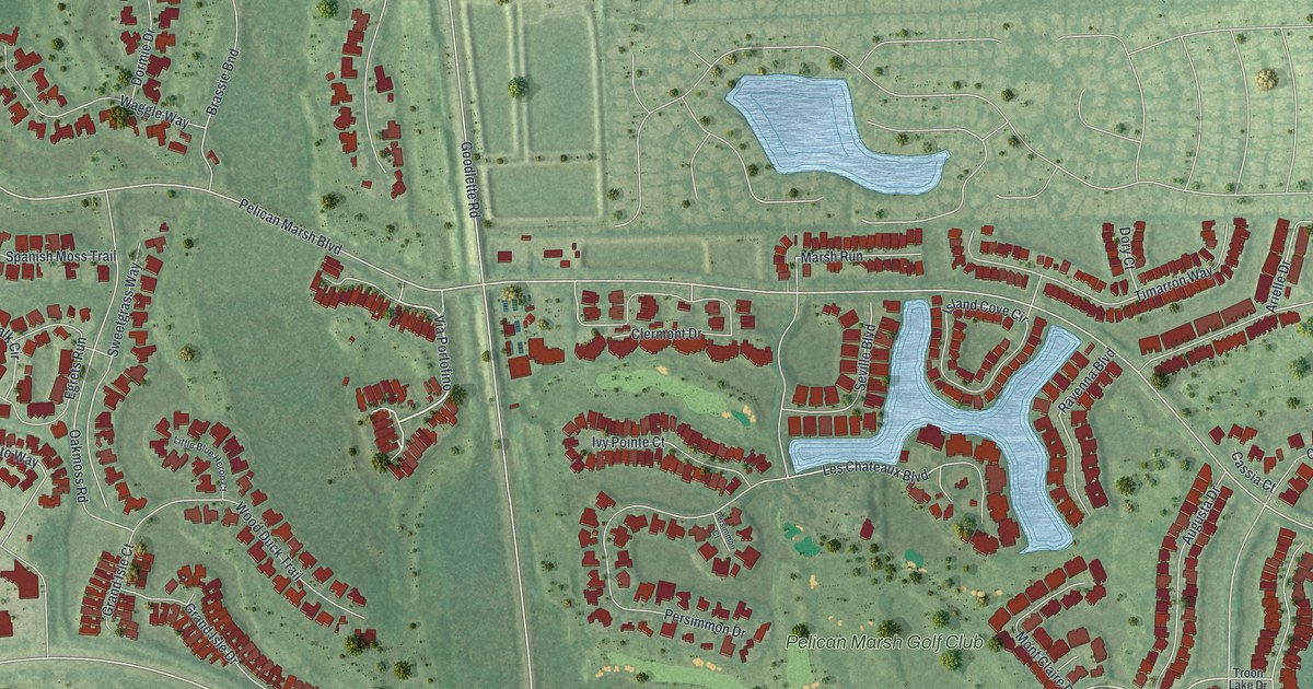
A detailed map of Pelican Marsh, Florida, showing every building in its true location, the roads by name, and shaded topographical relief.
Read More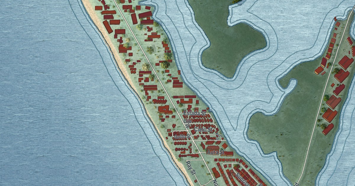
A detailed map of Manasota Key, Florida, showing every building in its true location, the roads by name, and shaded topographical relief.
Read More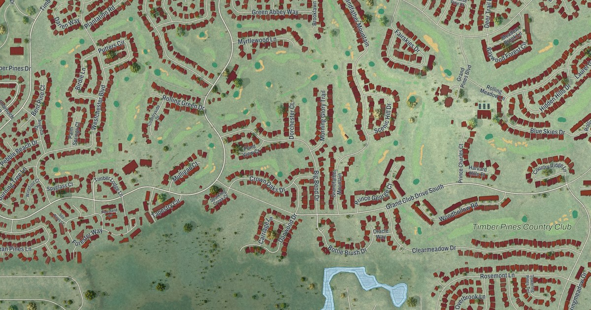
A detailed map of Timber Pines, Florida, showing every building in its true location, the roads by name, and shaded topographical relief.
Read More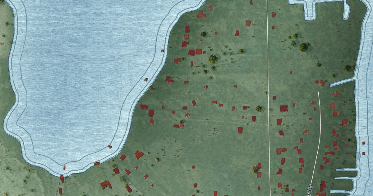
A detailed map of Lake Hart, Florida, showing every building in its true location, the roads by name, and shaded topographical relief.
Read More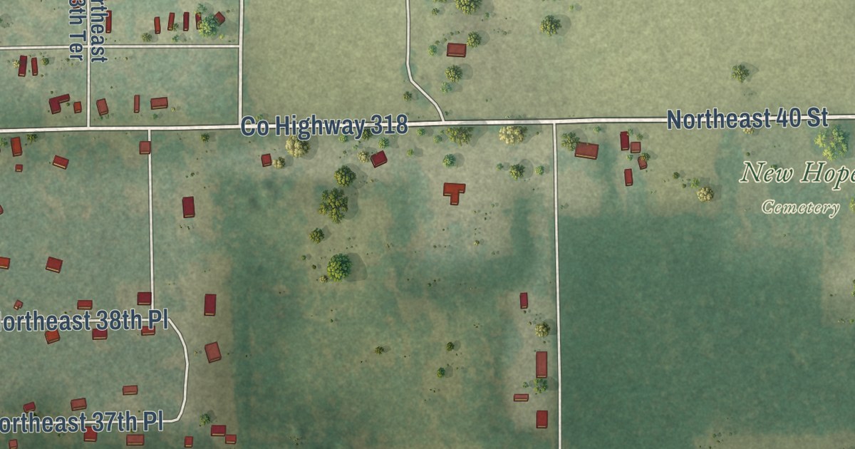
A detailed map of East Williston, Florida, showing every building in its true location, the roads by name, and shaded topographical relief.
Read More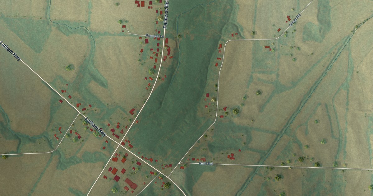
A detailed map of Palmersville, Tennessee, showing every building in its true location, the roads by name, and shaded topographical relief.
Read More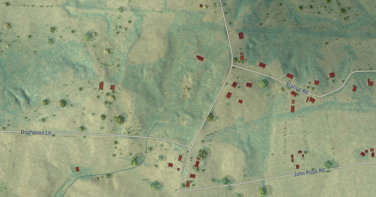
A detailed map of Luray, Tennessee, showing every building in its true location, the roads by name, and shaded topographical relief.
Read More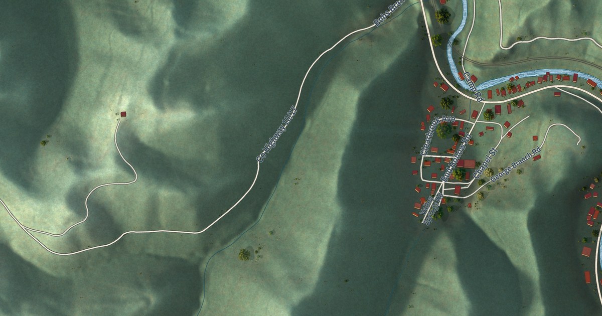
A detailed map of Bud, West Virginia, showing every building in its true location, the roads by name, and shaded topographical relief.
Read More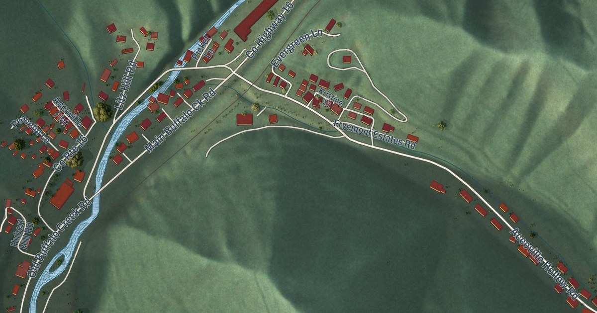
A detailed map of Accoville, West Virginia, showing every building in its true location, the roads by name, and shaded topographical relief.
Read More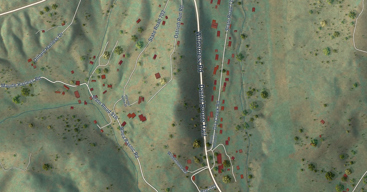
A detailed map of Stickleyville, Virginia, showing every building in its true location, the roads by name, and shaded topographical relief.
Read More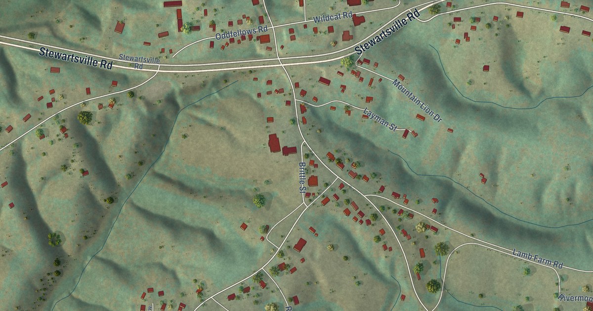
A detailed map of Stewartsville, Virginia, showing every building in its true location, the roads by name, and shaded topographical relief.
Read More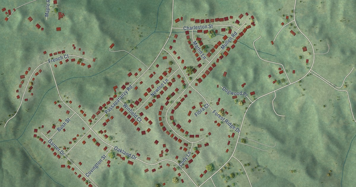
A detailed map of Passapatanzy, Virginia, showing every building in its true location, the roads by name, and shaded topographical relief.
Read More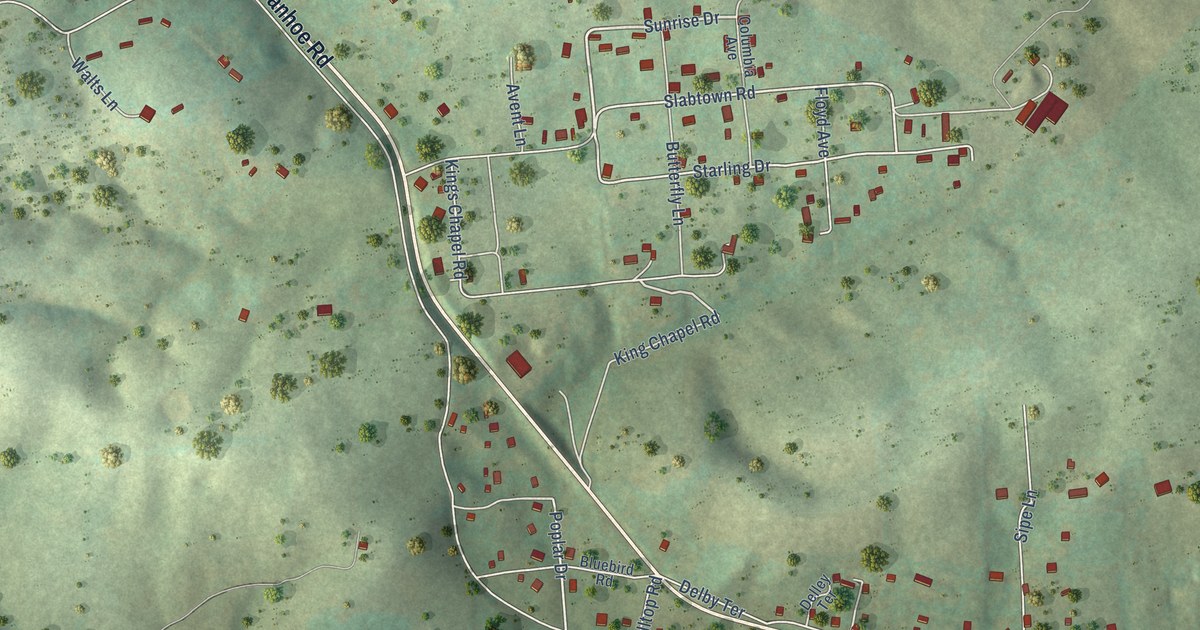
A detailed map of Ivanhoe, Virginia, showing every building in its true location, the roads by name, and shaded topographical relief.
Read More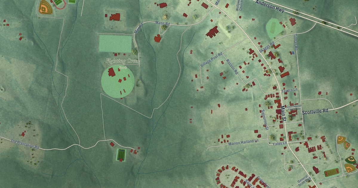
A detailed map of Powhatan, Virginia, showing every building in its true location, the roads by name, and shaded topographical relief.
Read More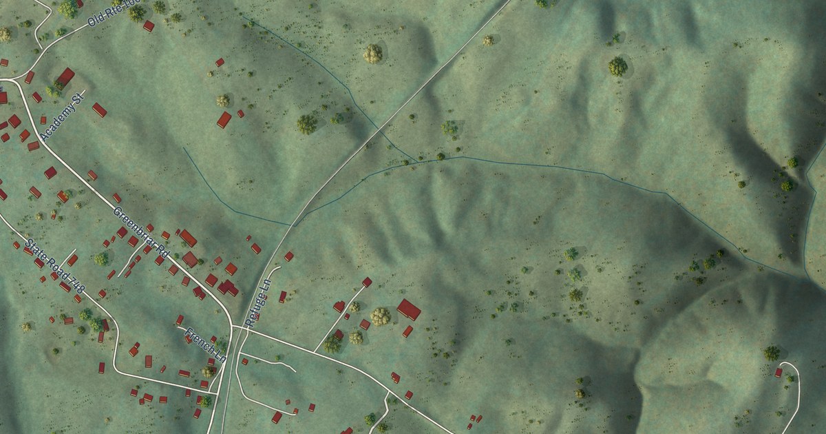
A detailed map of Draper, Virginia, showing every building in its true location, the roads by name, and shaded topographical relief.
Read More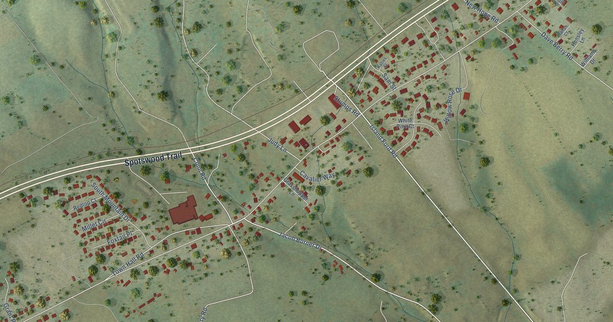
A detailed map of McGaheysville, Virginia, showing every building in its true location, the roads by name, and shaded topographical relief.
Read More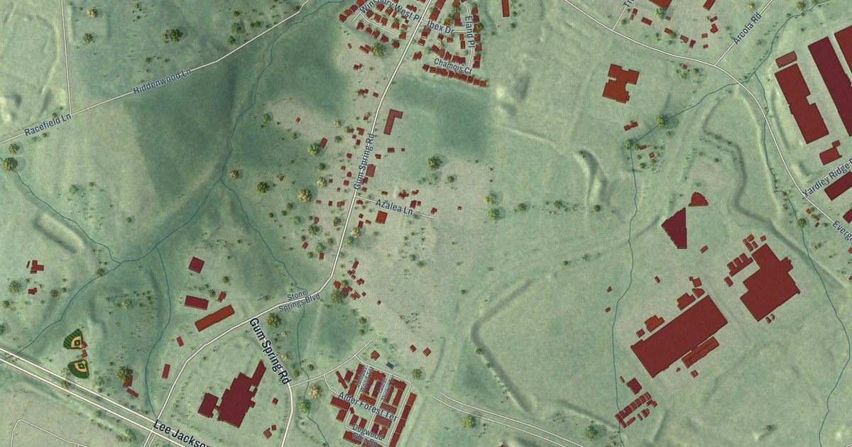
A detailed map of Arcola, Virginia, showing every building in its true location, the roads by name, and shaded topographical relief.
Read More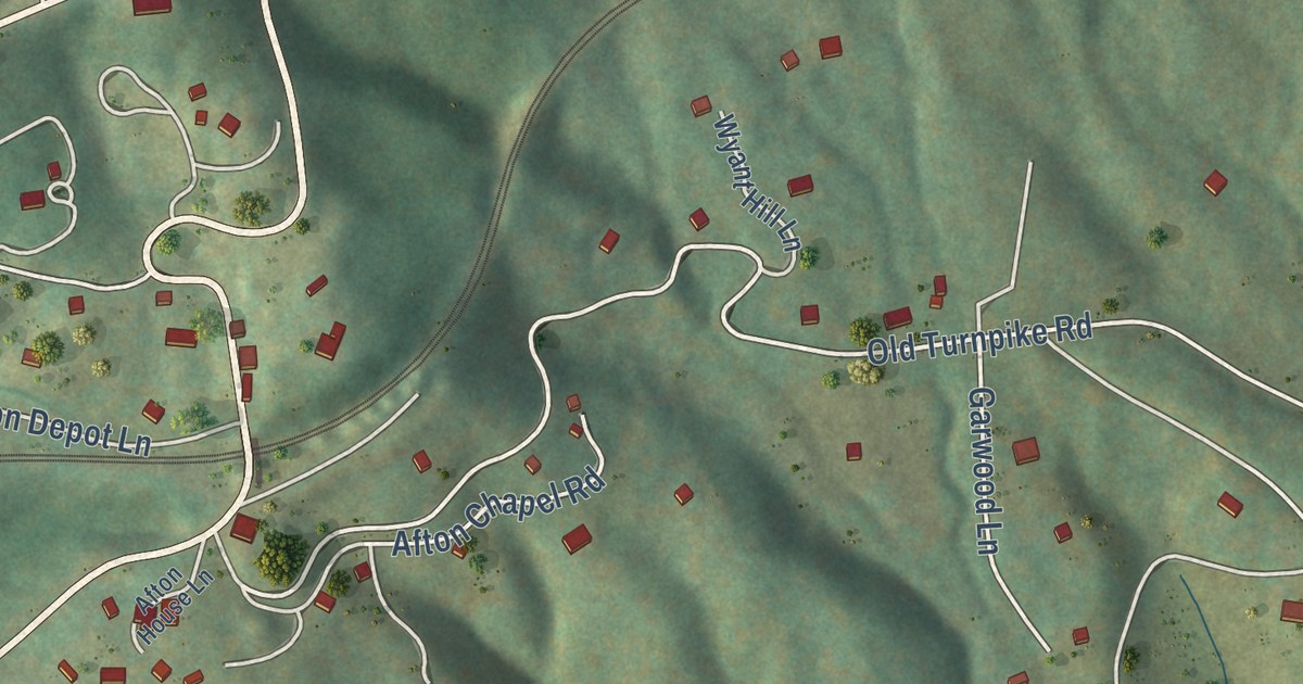
A detailed map of Afton, Virginia, showing every building in its true location, the roads by name, and shaded topographical relief.
Read More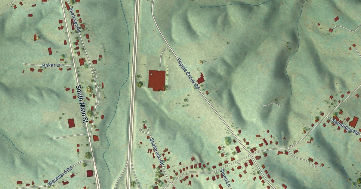
A detailed map of Henry Fork, Virginia, showing every building in its true location, the roads by name, and shaded topographical relief.
Read More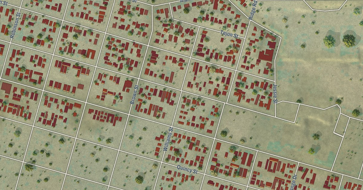
A detailed map of East Bakersfield, California, showing every building in its true location, the roads by name, and shaded topographical relief.
Read More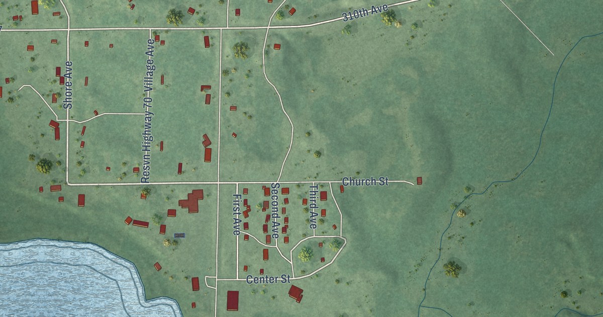
A detailed map of Naytahwaush, Minnesota, showing every building in its true location, the roads by name, and shaded topographical relief.
Read More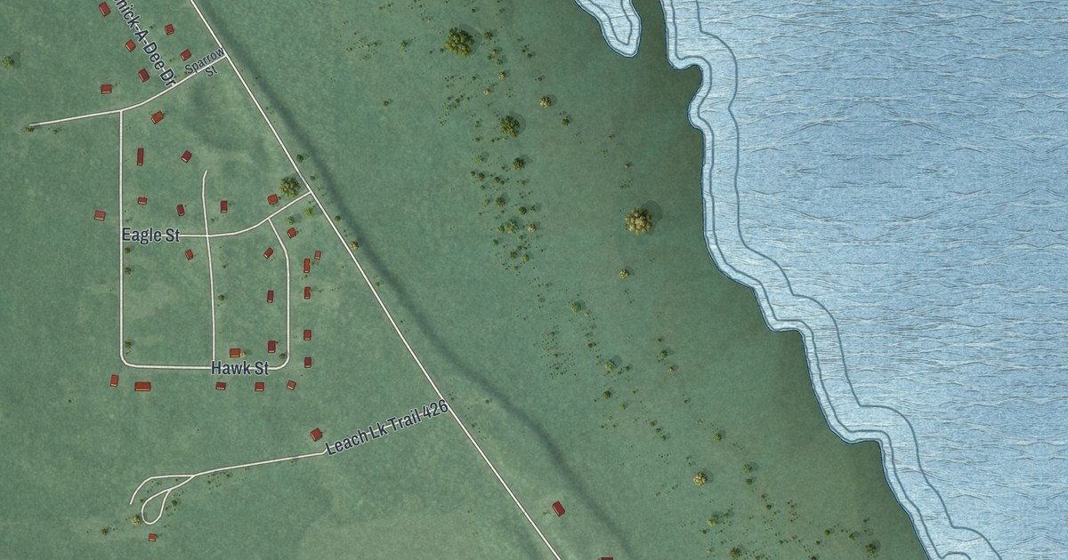
A detailed map of Ball Club, Minnesota, showing every building in its true location, the roads by name, and shaded topographical relief.
Read More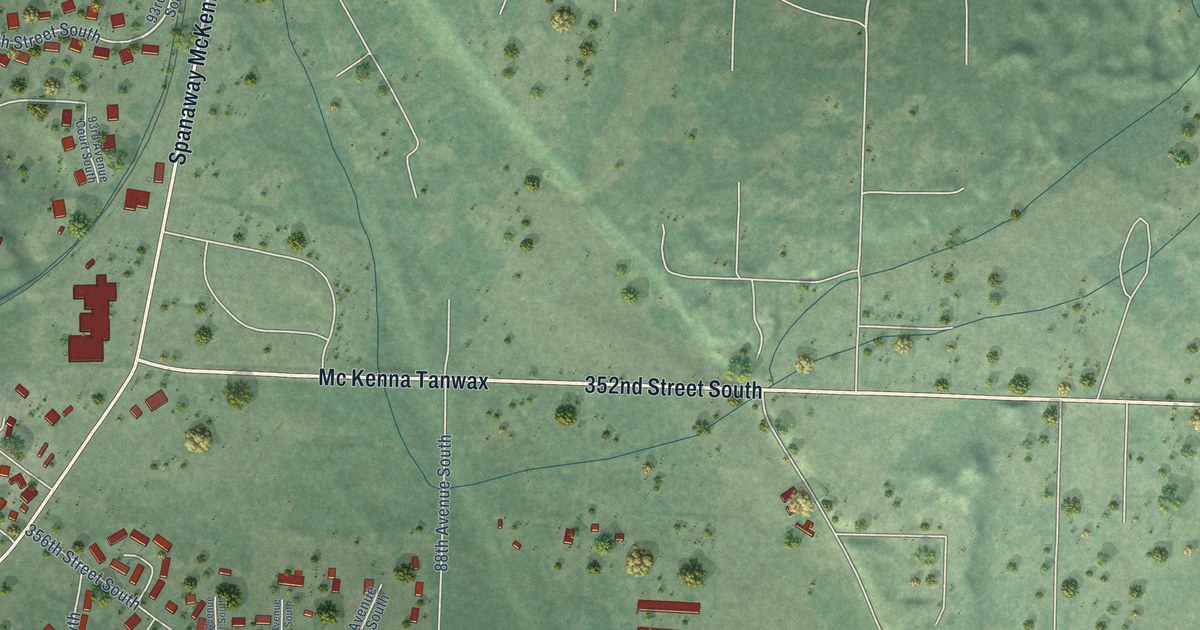
A detailed map of McKenna, Washington, showing every building in its true location, the roads by name, and shaded topographical relief.
Read More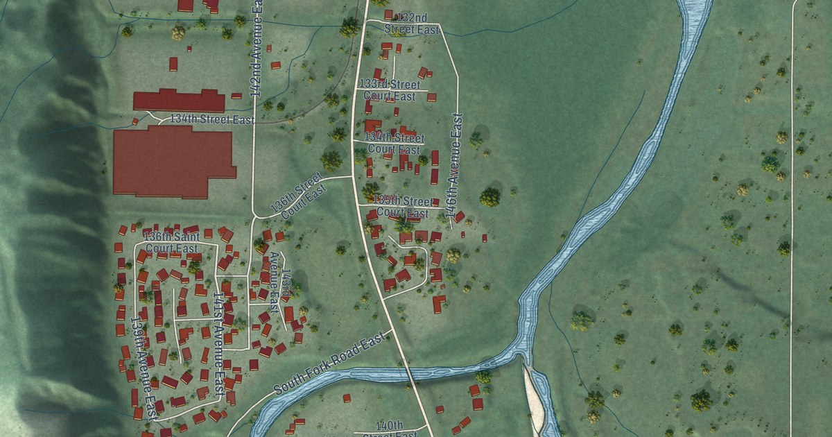
A detailed map of McMillin, Washington, showing every building in its true location, the roads by name, and shaded topographical relief.
Read More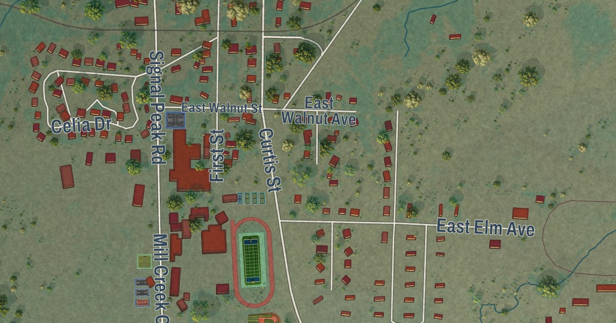
A detailed map of White Swan, Washington, showing every building in its true location, the roads by name, and shaded topographical relief.
Read More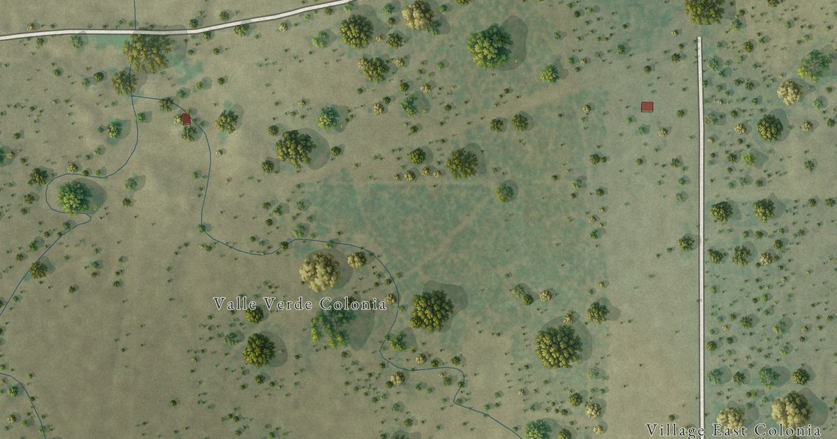
A detailed map of Valle Verde, Texas, showing every building in its true location, the roads by name, and shaded topographical relief.
Read More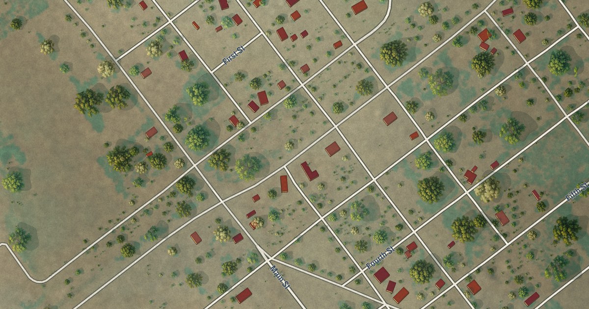
A detailed map of Sylvester, Texas, showing every building in its true location, the roads by name, and shaded topographical relief.
Read More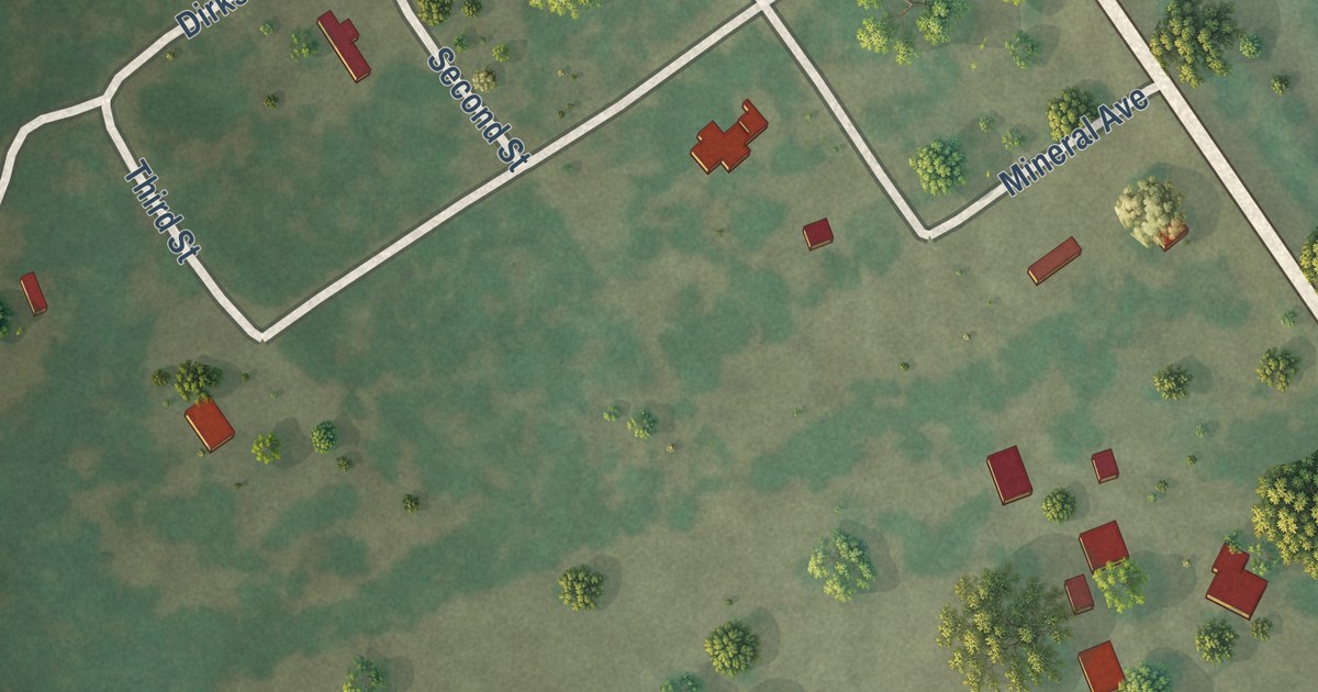
A detailed map of Tulsita, Texas, showing every building in its true location, the roads by name, and shaded topographical relief.
Read More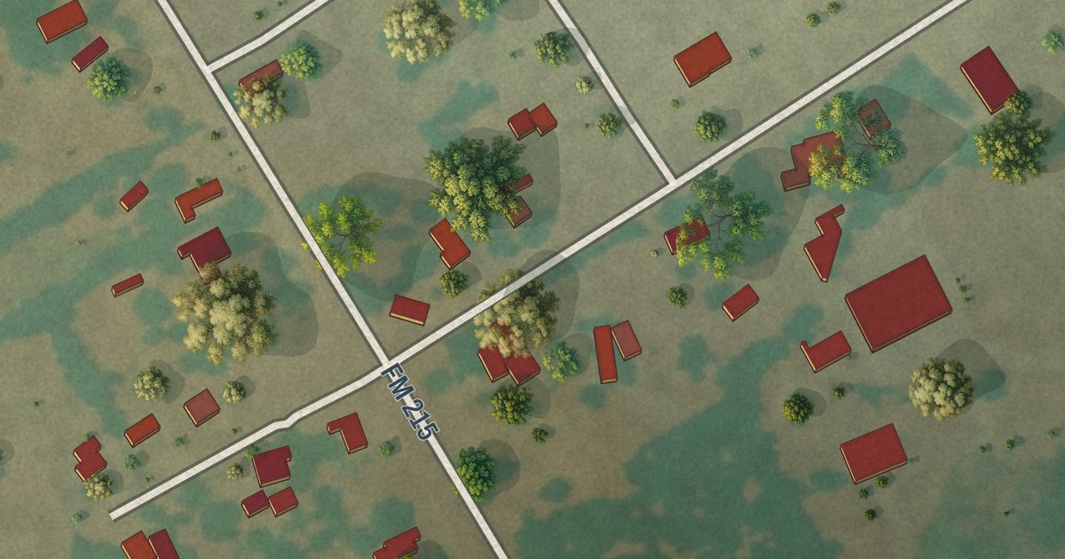
A detailed map of Mosheim, Texas, showing every building in its true location, the roads by name, and shaded topographical relief.
Read More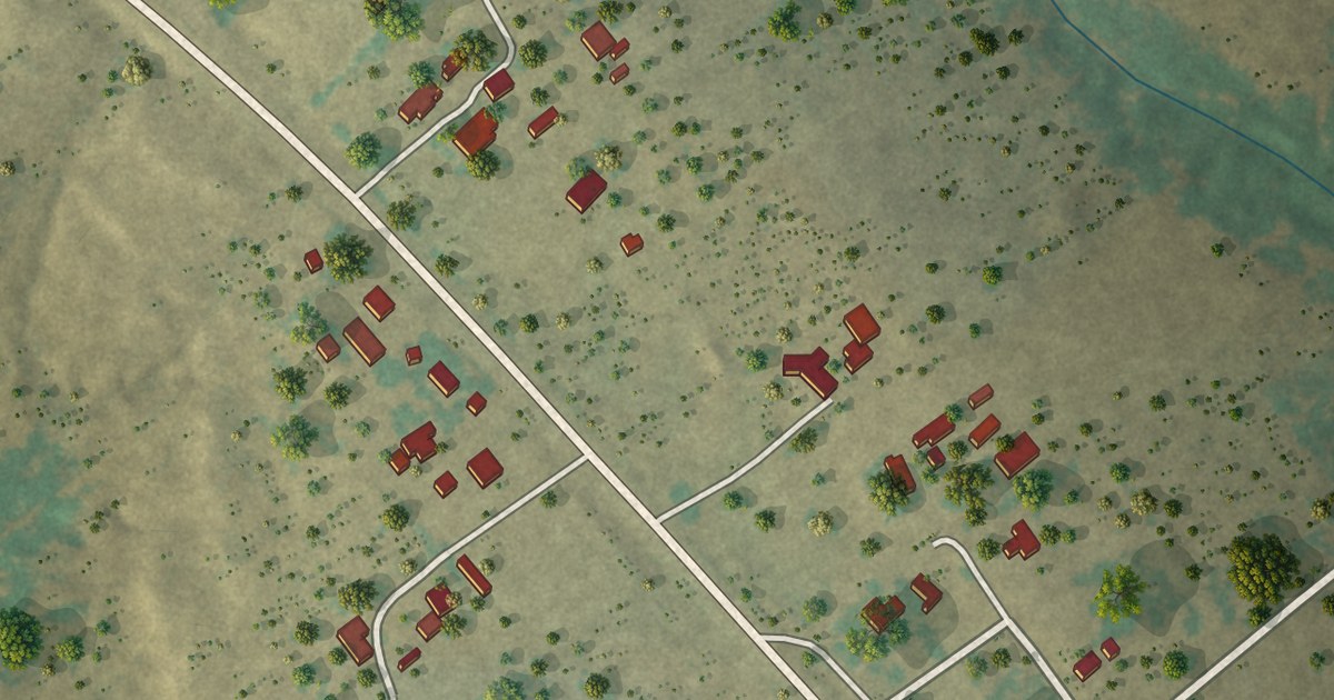
A detailed map of Ramireno, Texas, showing every building in its true location, the roads by name, and shaded topographical relief.
Read More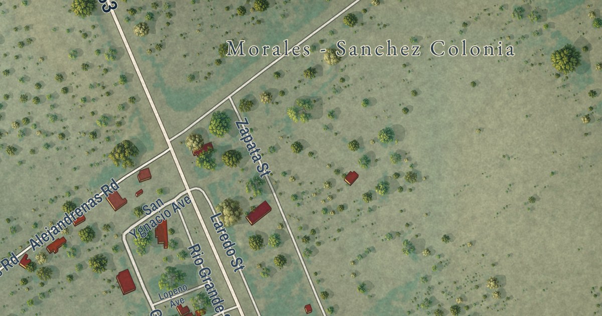
A detailed map of Morales-Sanchez, Texas, showing every building in its true location, the roads by name, and shaded topographical relief.
Read More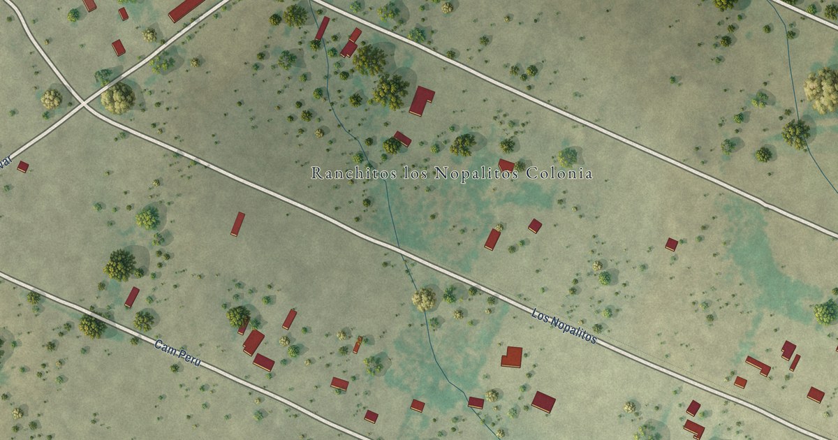
A detailed map of Los Nopalitos, Texas, showing every building in its true location, the roads by name, and shaded topographical relief.
Read More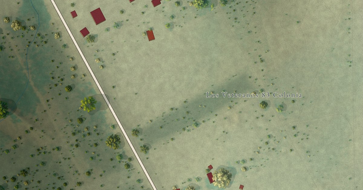
A detailed map of Los Veteranos II, Texas, showing every building in its true location, the roads by name, and shaded topographical relief.
Read More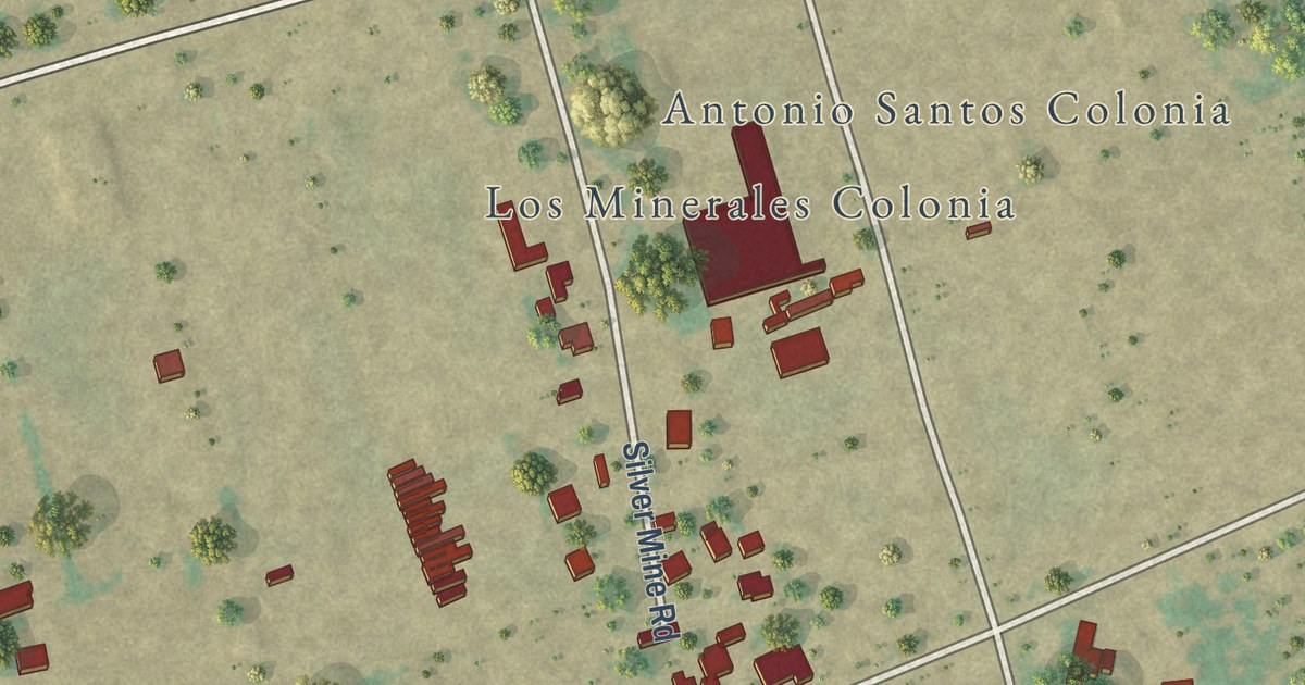
A detailed map of Los Minerales, Texas, showing every building in its true location, the roads by name, and shaded topographical relief.
Read More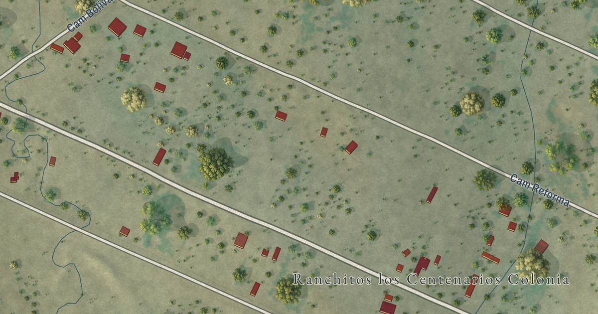
A detailed map of Los Centenarios, Texas, showing every building in its true location, the roads by name, and shaded topographical relief.
Read More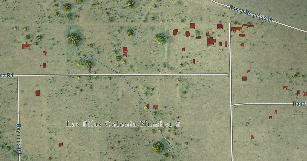
A detailed map of Las Pilas, Texas, showing every building in its true location, the roads by name, and shaded topographical relief.
Read More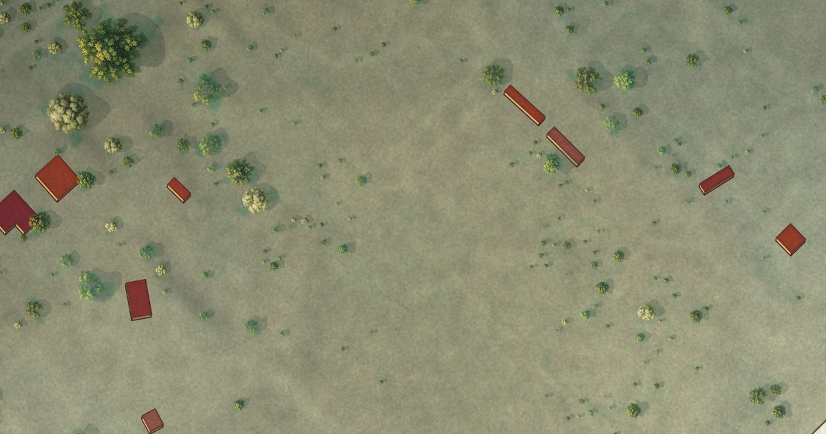
A detailed map of Las Haciendas, Texas, showing every building in its true location, the roads by name, and shaded topographical relief.
Read More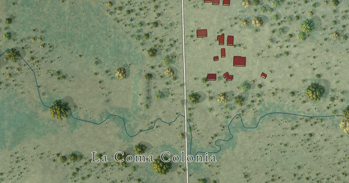
A detailed map of La Coma, Texas, showing every building in its true location, the roads by name, and shaded topographical relief.
Read More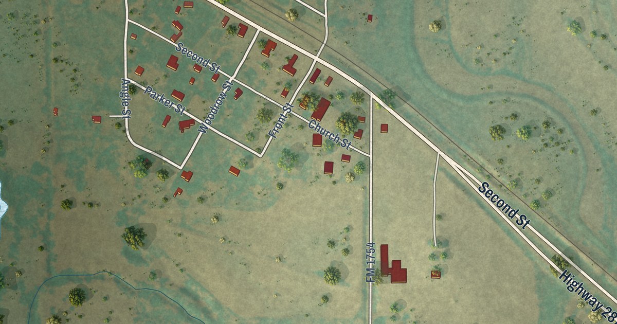
A detailed map of Lelia Lake, Texas, showing every building in its true location, the roads by name, and shaded topographical relief.
Read More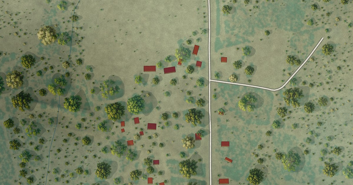
A detailed map of Guerra, Texas, showing every building in its true location, the roads by name, and shaded topographical relief.
Read More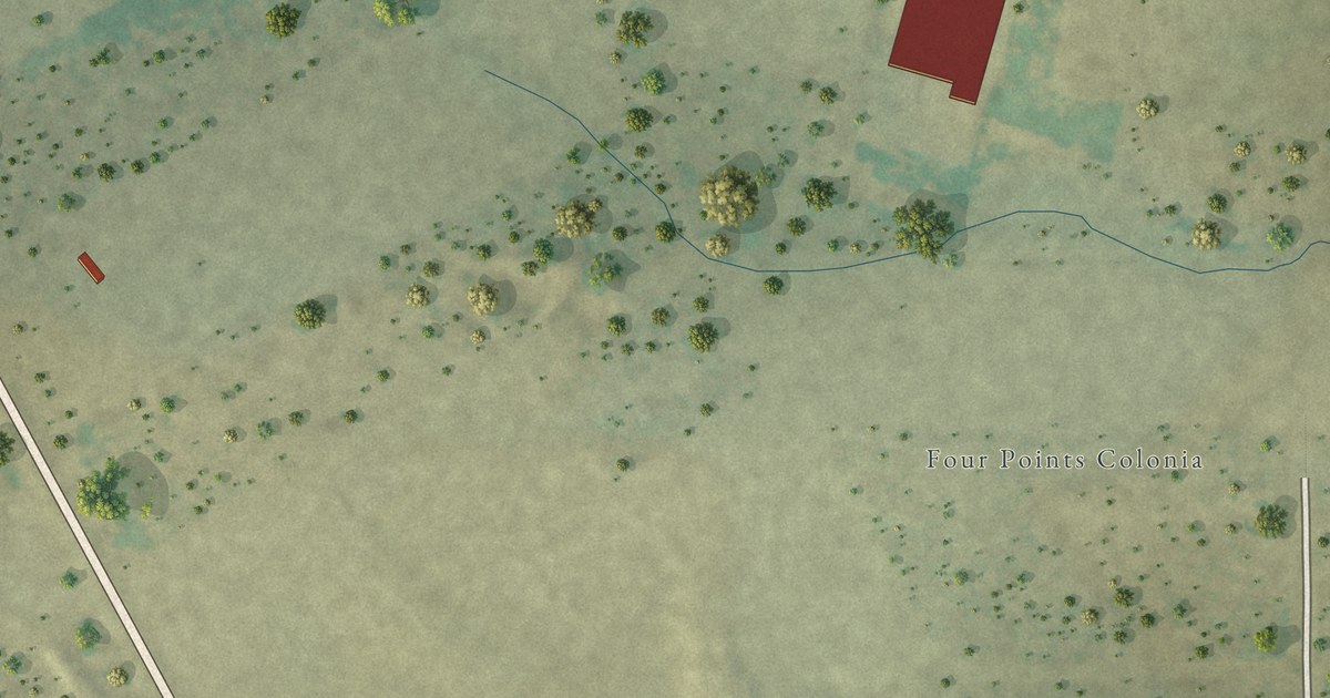
A detailed map of Four Points, Texas, showing every building in its true location, the roads by name, and shaded topographical relief.
Read More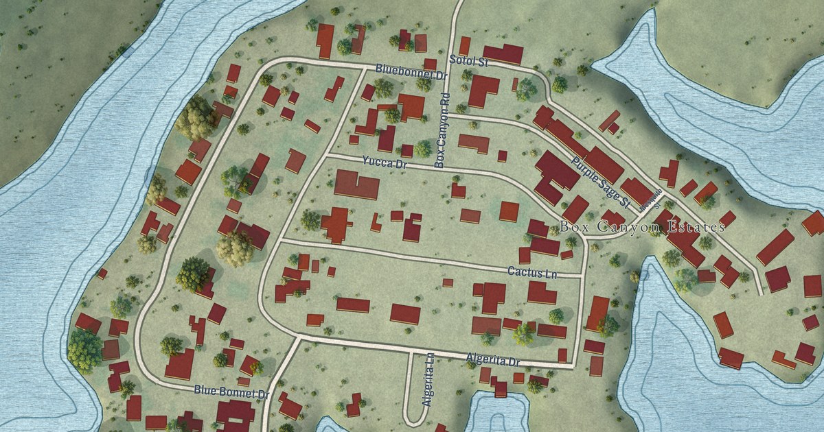
A detailed map of Box Canyon, Texas, showing every building in its true location, the roads by name, and shaded topographical relief.
Read More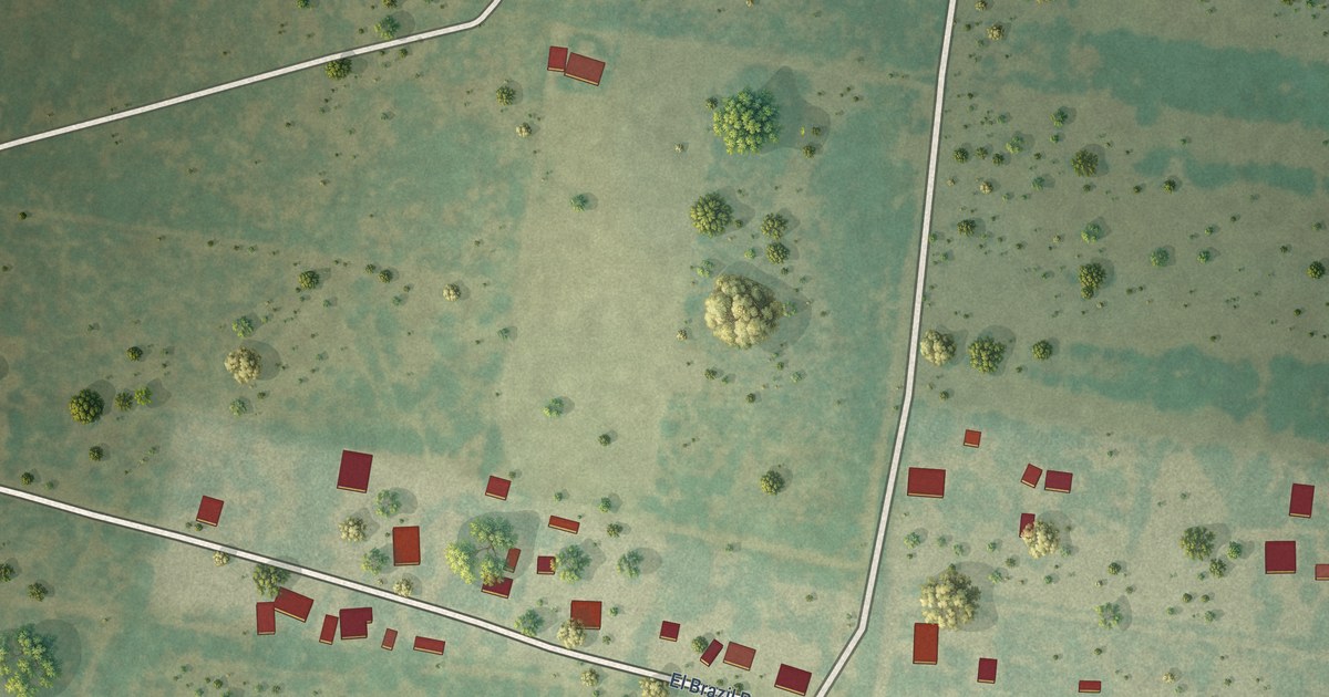
A detailed map of El Brazil, Texas, showing every building in its true location, the roads by name, and shaded topographical relief.
Read More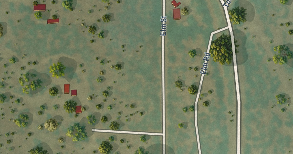
A detailed map of Brundage, Texas, showing every building in its true location, the roads by name, and shaded topographical relief.
Read More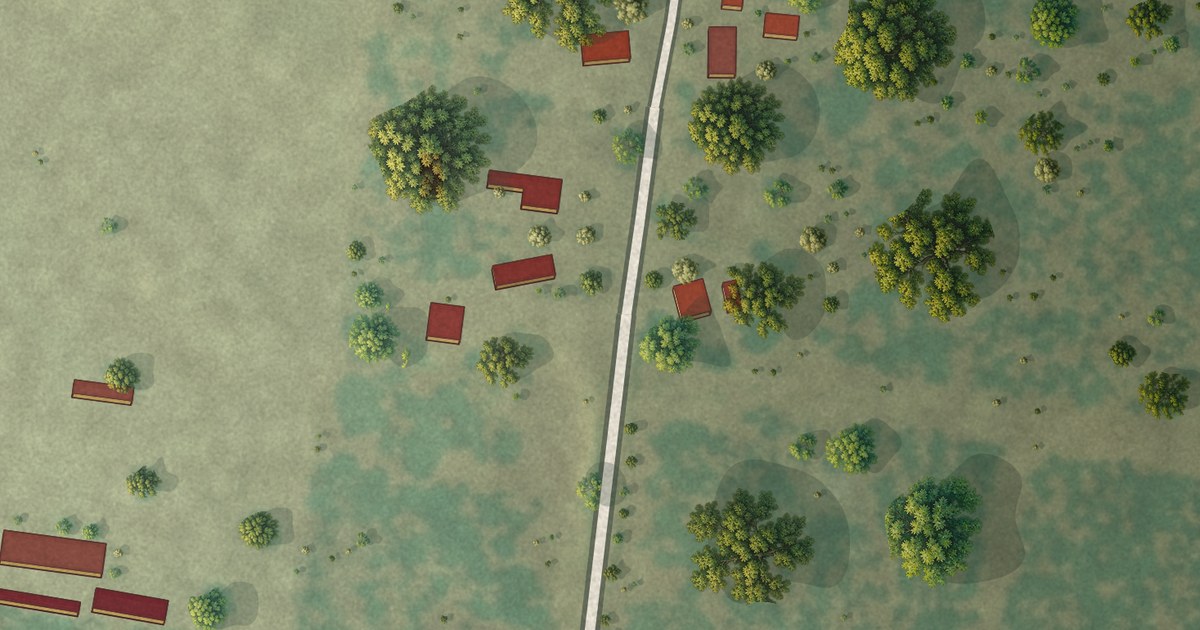
A detailed map of Elias-Fela Solis, Texas, showing every building in its true location, the roads by name, and shaded topographical relief.
Read More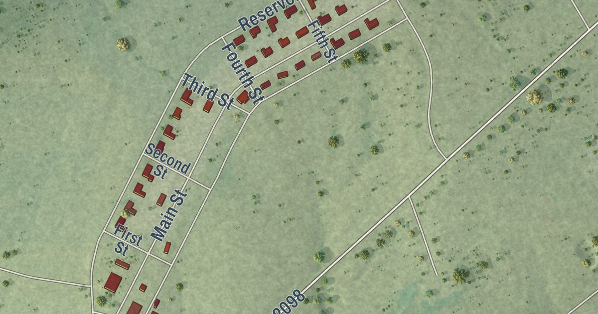
A detailed map of Falcon Village, Texas, showing every building in its true location, the roads by name, and shaded topographical relief.
Read More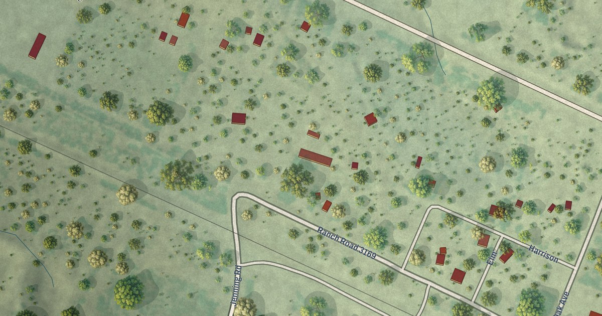
A detailed map of Aguilares, Texas, showing every building in its true location, the roads by name, and shaded topographical relief.
Read More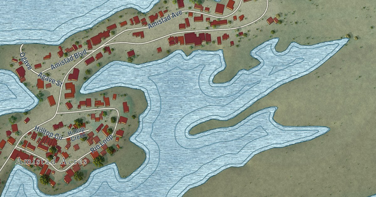
A detailed map of Amistad, Texas, showing every building in its true location, the roads by name, and shaded topographical relief.
Read More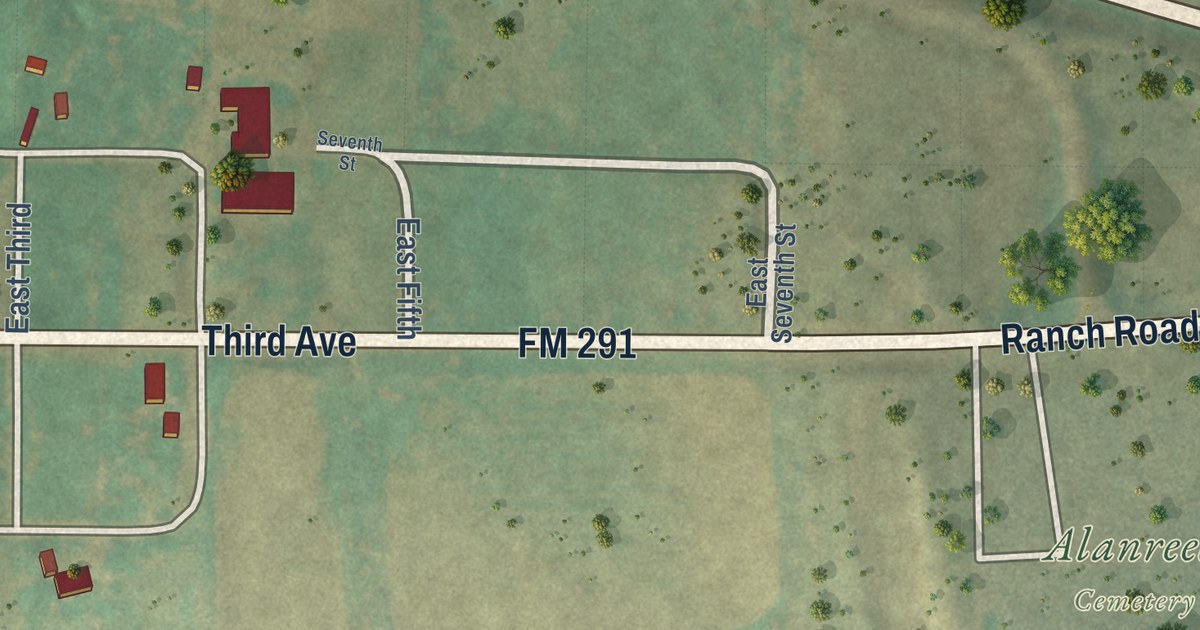
A detailed map of Alanreed, Texas, showing every building in its true location, the roads by name, and shaded topographical relief.
Read More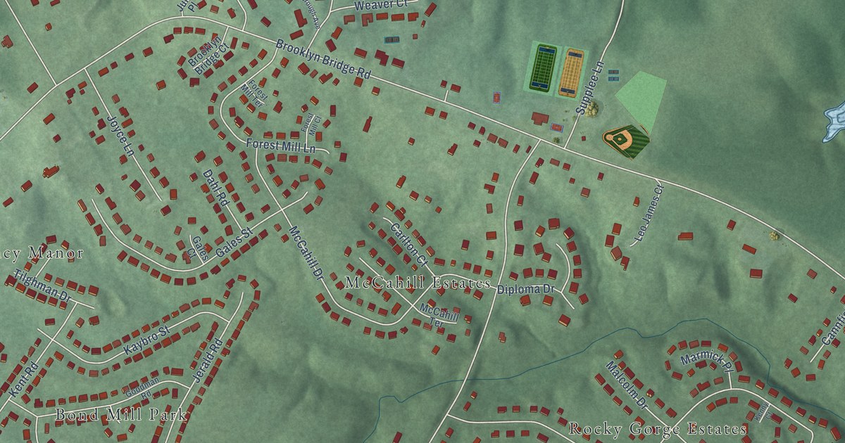
A detailed map of West Laurel, Maryland, showing every building in its true location, the roads by name, and shaded topographical relief.
Read More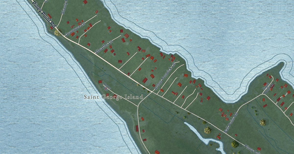
A detailed map of St. George Island, Maryland, showing every building in its true location, the roads by name, and shaded topographical relief.
Read More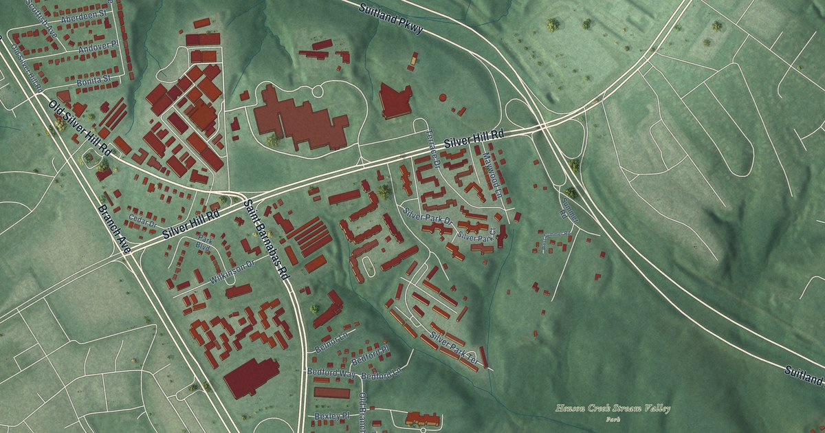
A detailed map of Silver Hill, Maryland, showing every building in its true location, the roads by name, and shaded topographical relief.
Read More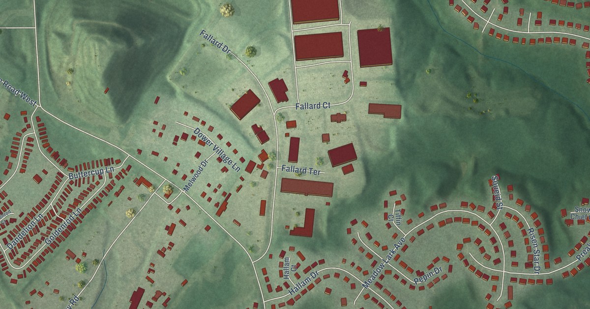
A detailed map of Melwood, Maryland, showing every building in its true location, the roads by name, and shaded topographical relief.
Read More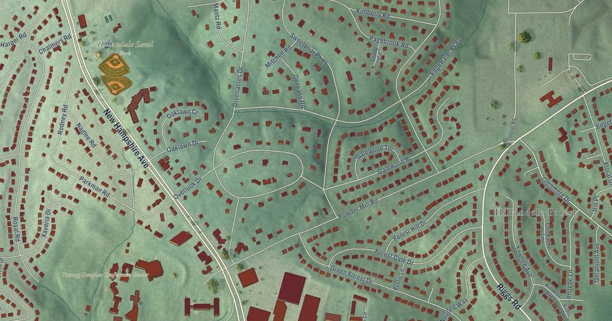
A detailed map of Hillandale, Maryland, showing every building in its true location, the roads by name, and shaded topographical relief.
Read More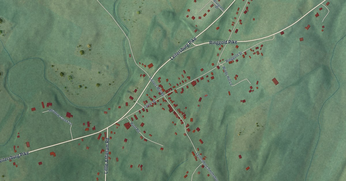
A detailed map of Leitersburg, Maryland, showing every building in its true location, the roads by name, and shaded topographical relief.
Read More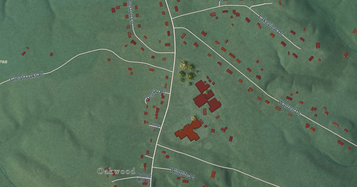
A detailed map of Pomfret, Maryland, showing every building in its true location, the roads by name, and shaded topographical relief.
Read More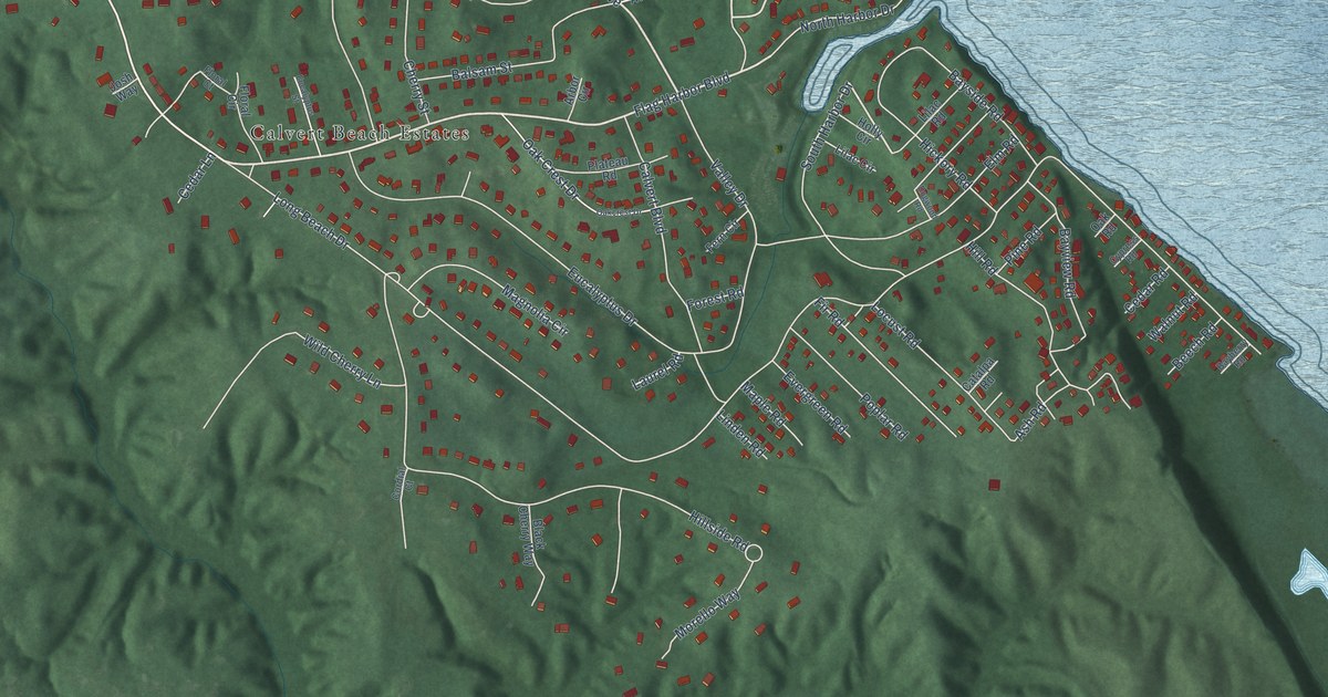
A detailed map of Long Beach, Maryland, showing every building in its true location, the roads by name, and shaded topographical relief.
Read More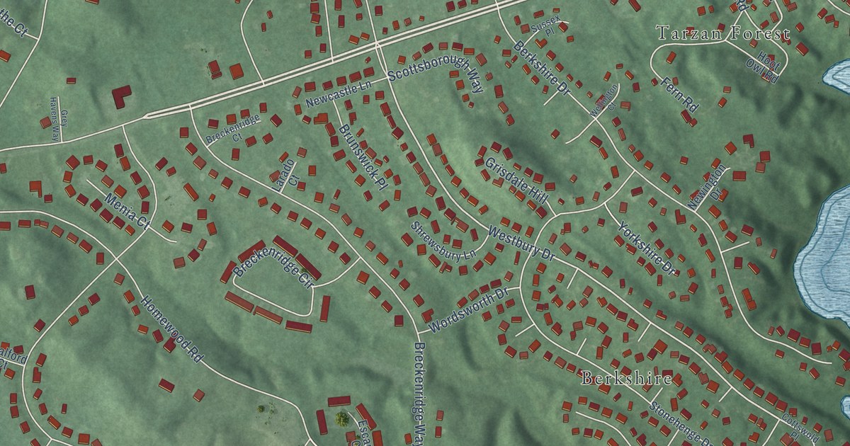
A detailed map of Riva, Maryland, showing every building in its true location, the roads by name, and shaded topographical relief.
Read More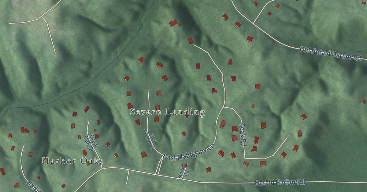
A detailed map of Herald Harbor, Maryland, showing every building in its true location, the roads by name, and shaded topographical relief.
Read More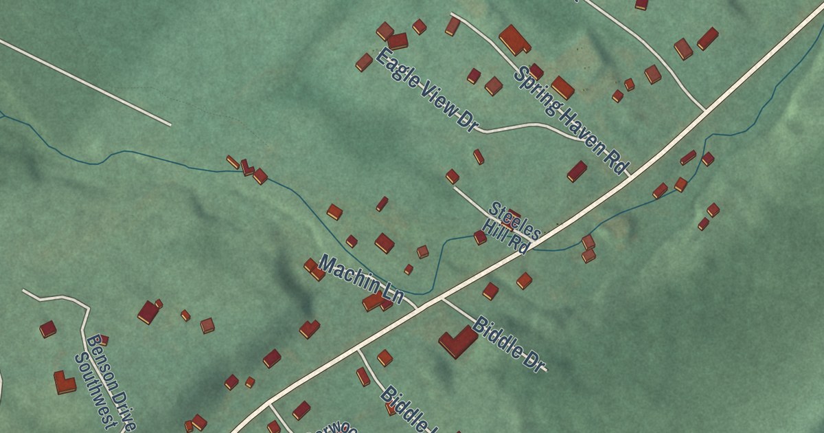
A detailed map of Danville, Maryland, showing every building in its true location, the roads by name, and shaded topographical relief.
Read More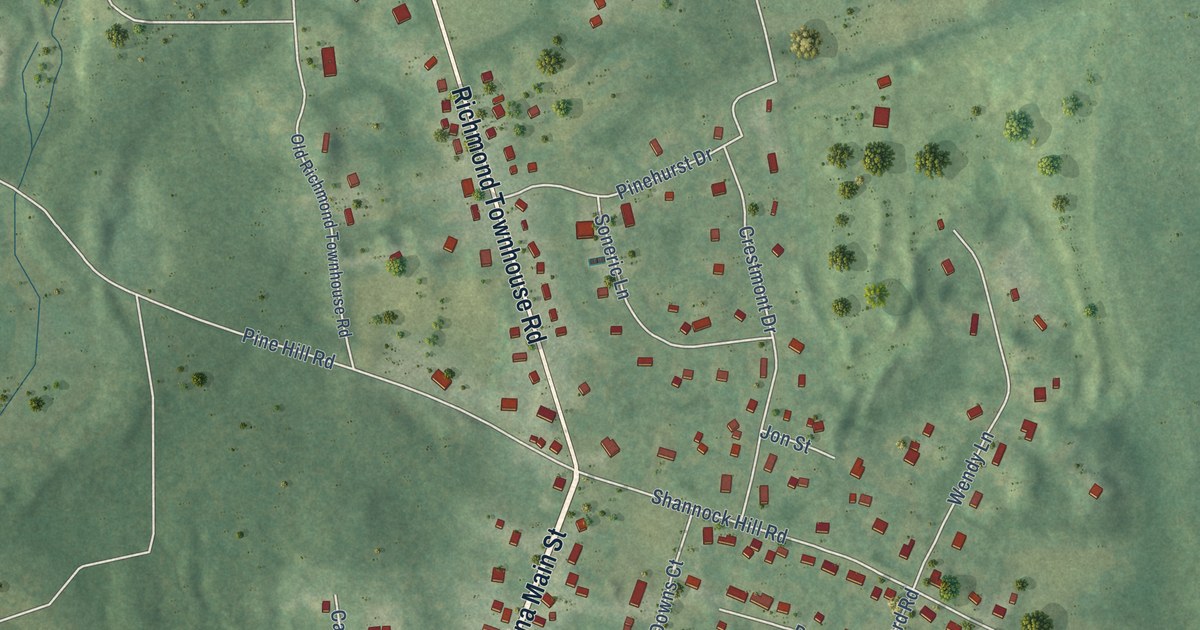
A detailed map of Carolina, Rhode Island, showing every building in its true location, the roads by name, and shaded topographical relief.
Read More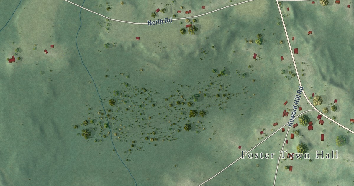
A detailed map of Foster Center, Rhode Island, showing every building in its true location, the roads by name, and shaded topographical relief.
Read More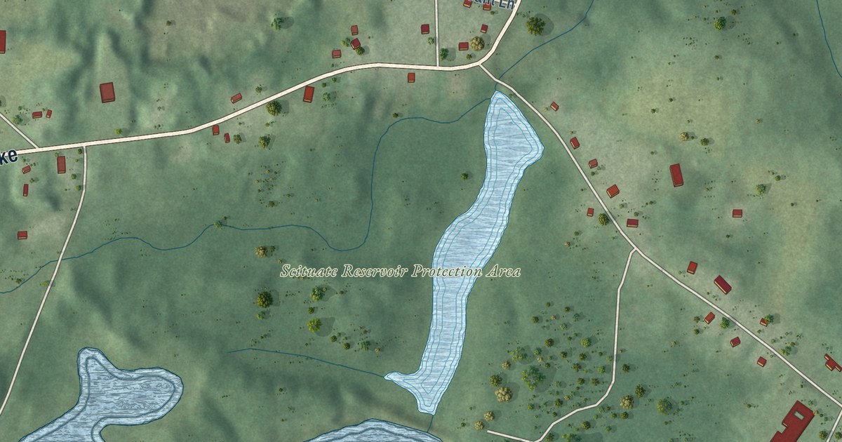
A detailed map of Clayville, Rhode Island, showing every building in its true location, the roads by name, and shaded topographical relief.
Read More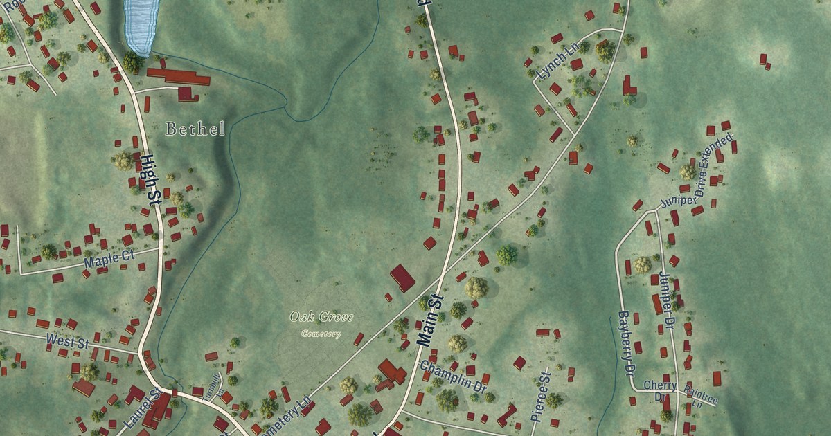
A detailed map of Ashaway, Rhode Island, showing every building in its true location, the roads by name, and shaded topographical relief.
Read More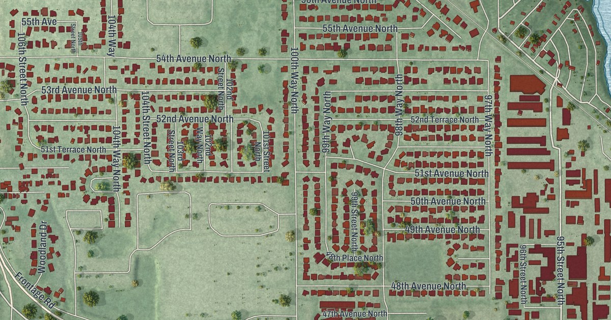
A detailed map of Bay Pines, Florida, showing every building in its true location, the roads by name, and shaded topographical relief.
Read More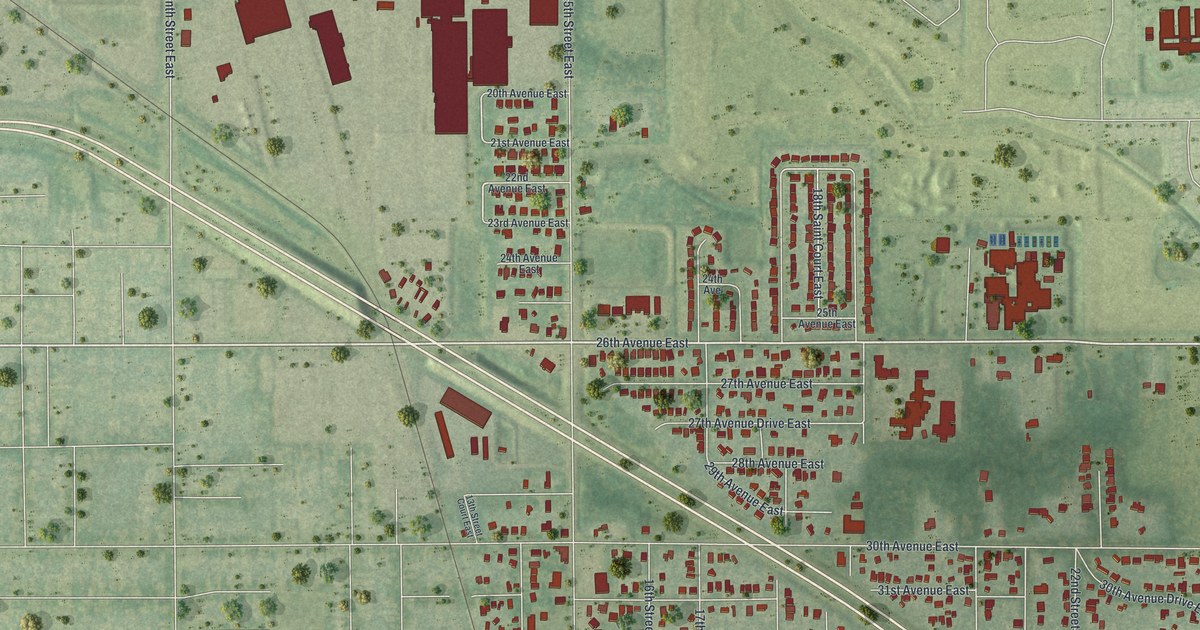
A detailed map of Samoset, Florida, showing every building in its true location, the roads by name, and shaded topographical relief.
Read More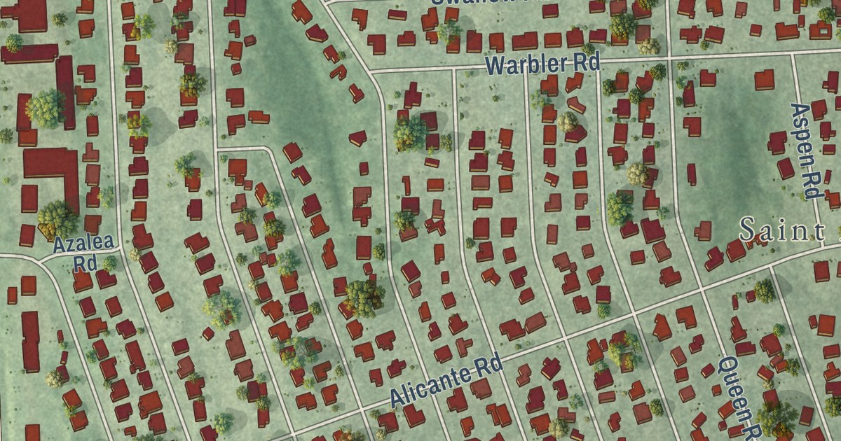
A detailed map of St. Augustine South, Florida, showing every building in its true location, the roads by name, and shaded topographical relief.
Read More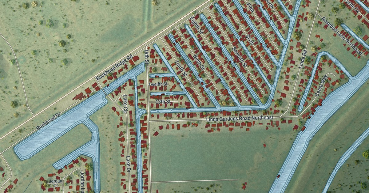
A detailed map of Buckhead Ridge, Florida, showing every building in its true location, the roads by name, and shaded topographical relief.
Read More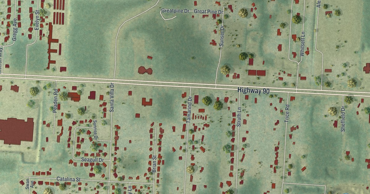
A detailed map of Pea Ridge, Florida, showing every building in its true location, the roads by name, and shaded topographical relief.
Read More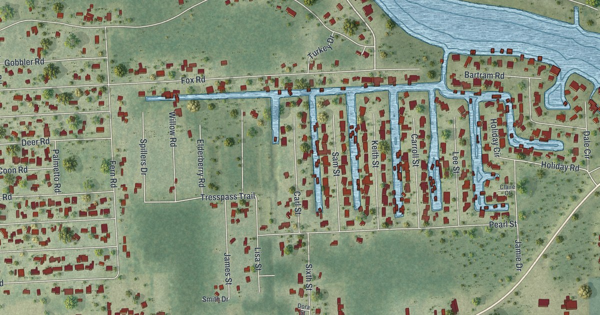
A detailed map of Astor, Florida, showing every building in its true location, the roads by name, and shaded topographical relief.
Read More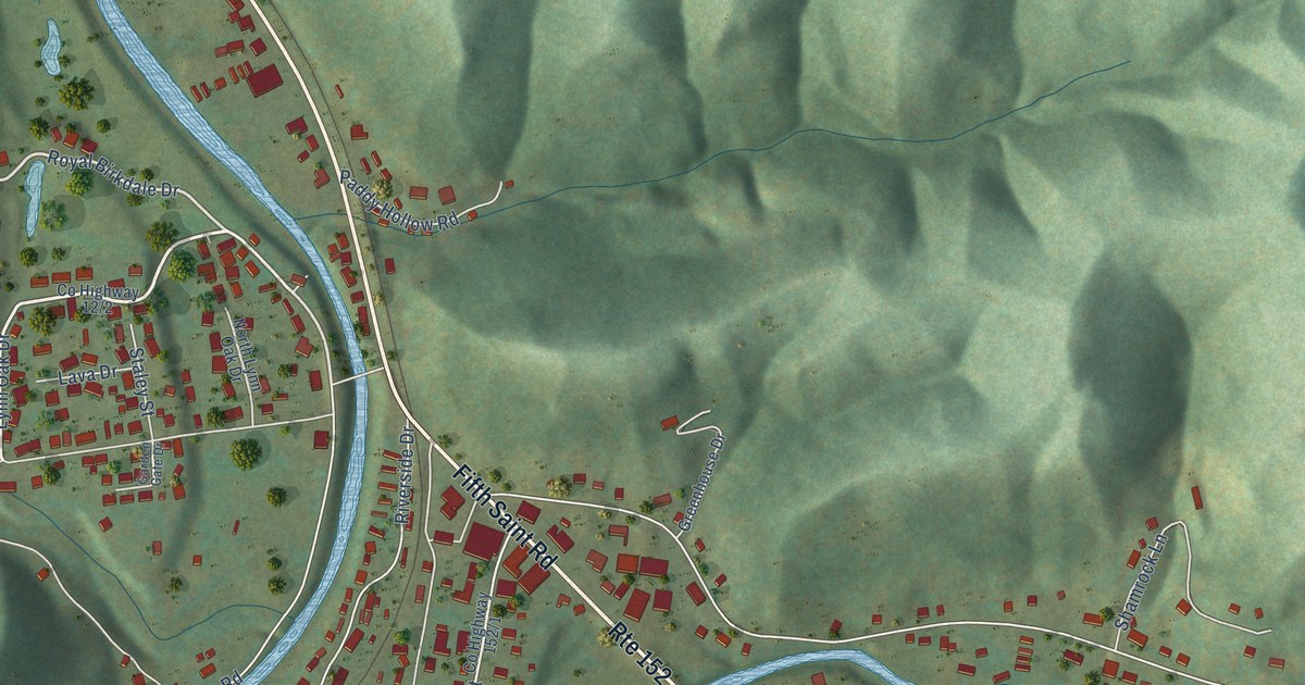
A detailed map of Lavalette, West Virginia, showing every building in its true location, the roads by name, and shaded topographical relief.
Read More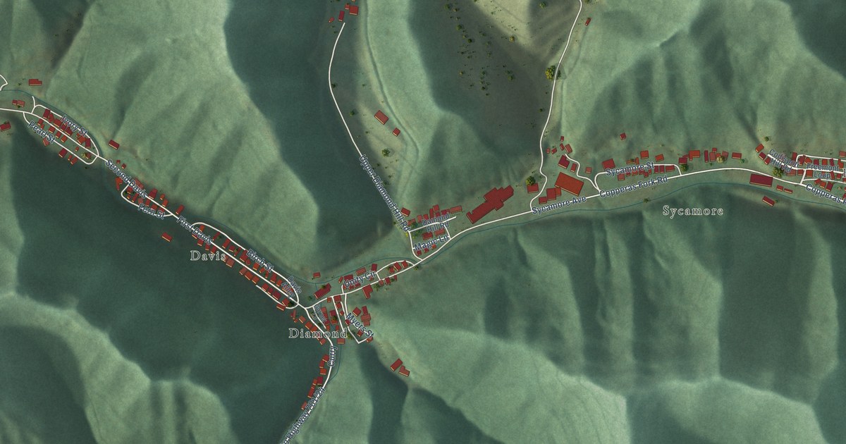
A detailed map of Holden, West Virginia, showing every building in its true location, the roads by name, and shaded topographical relief.
Read More















