Detailed Map of Brogden, North Carolina
A detailed map of Brogden, North Carolina, showing every building in its true location, the roads by name, and shaded topographical relief.
Read More
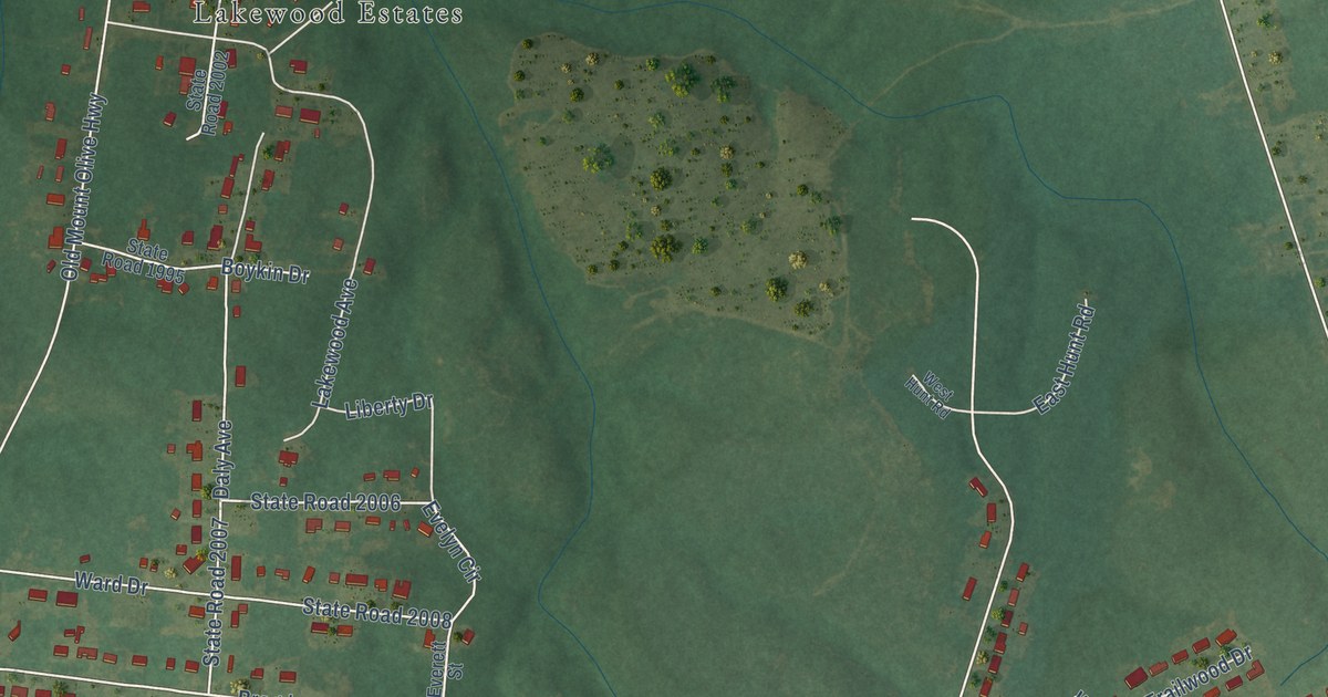
A detailed map of Brogden, North Carolina, showing every building in its true location, the roads by name, and shaded topographical relief.
Read More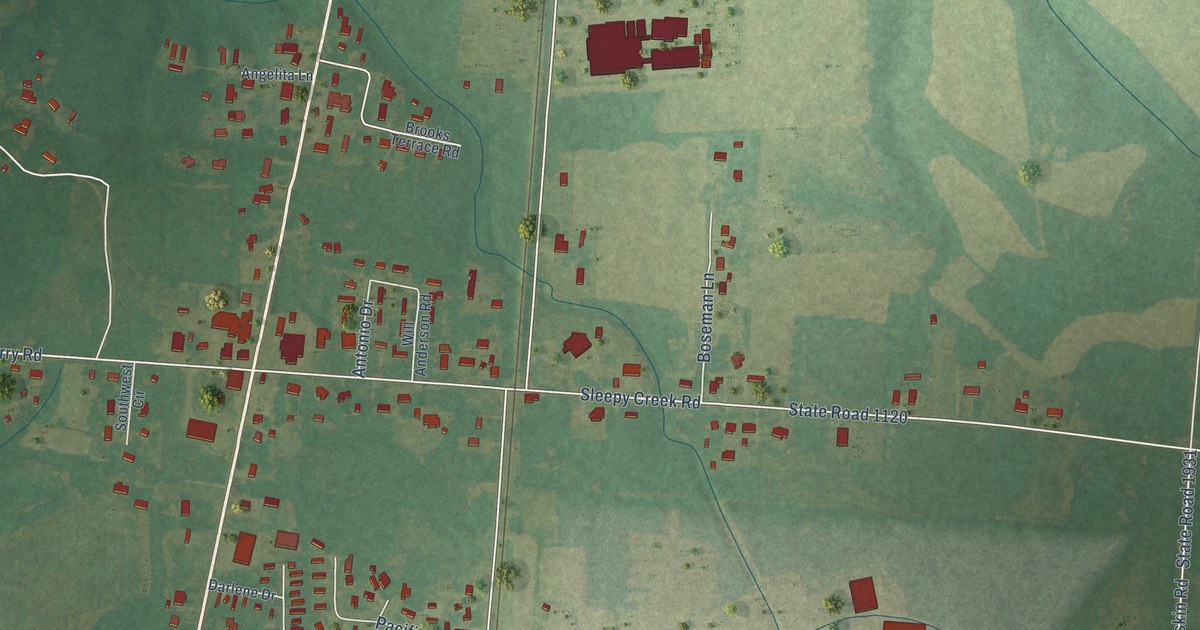
A detailed map of Dudley, North Carolina, showing every building in its true location, the roads by name, and shaded topographical relief.
Read More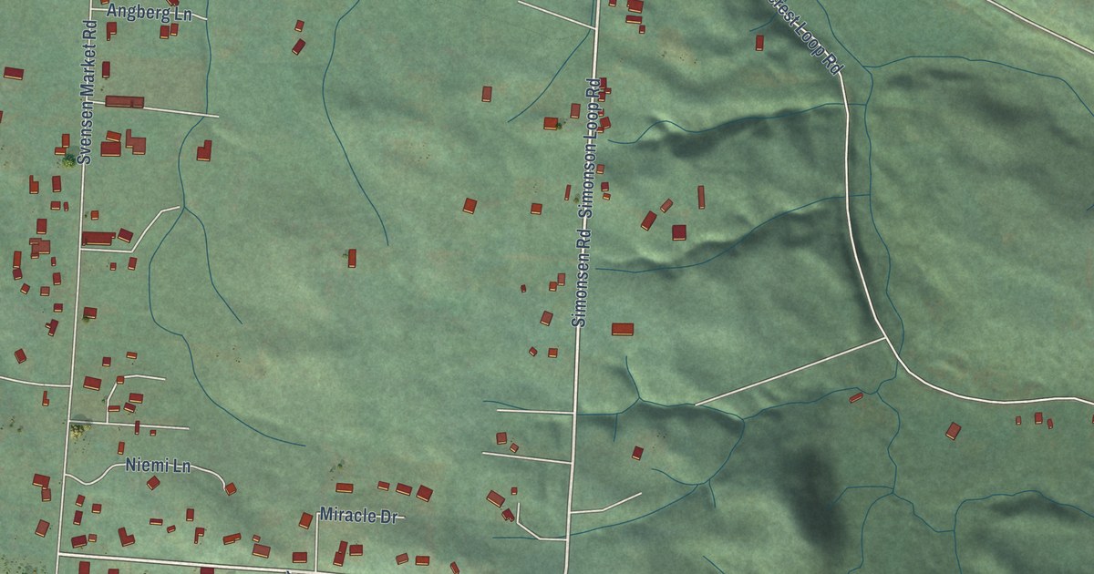
A detailed map of Svensen, Oregon, showing every building in its true location, the roads by name, and shaded topographical relief.
Read More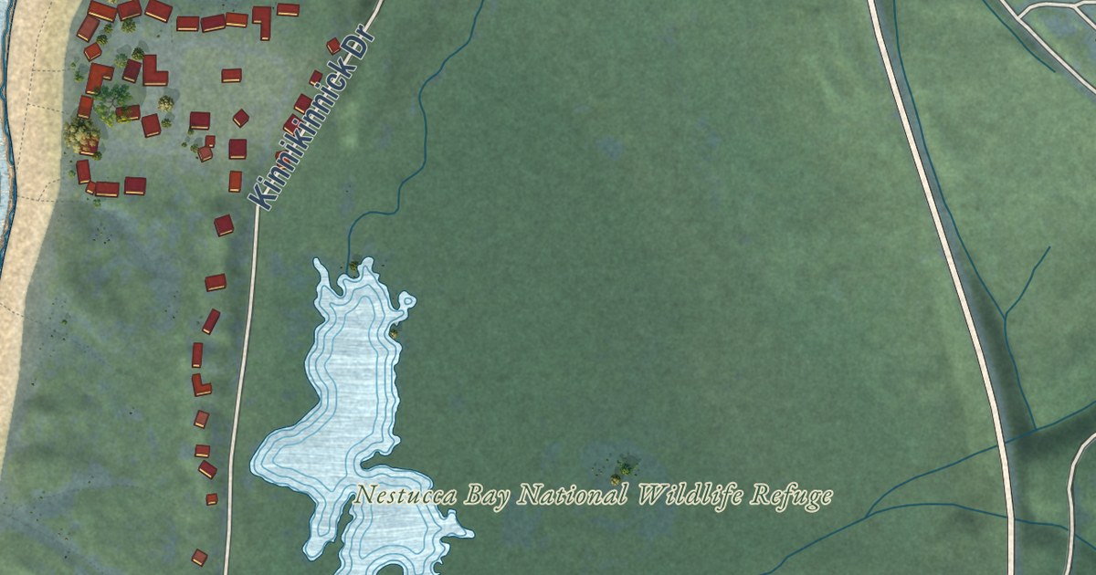
A detailed map of Neskowin, Oregon, showing every building in its true location, the roads by name, and shaded topographical relief.
Read More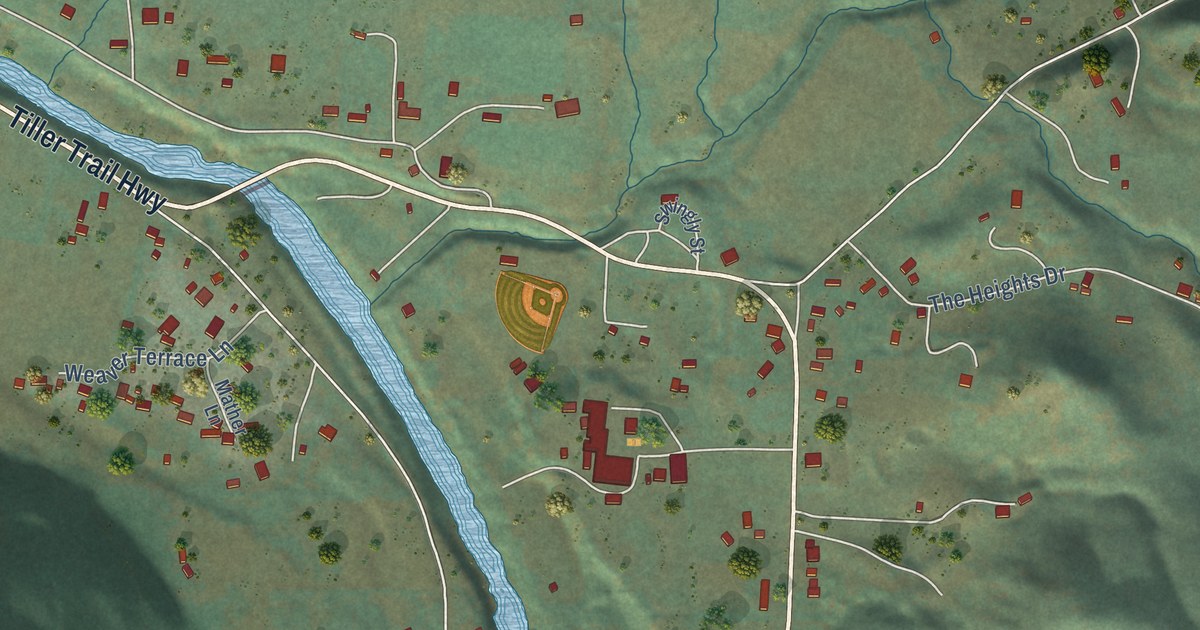
A detailed map of Days Creek, Oregon, showing every building in its true location, the roads by name, and shaded topographical relief.
Read More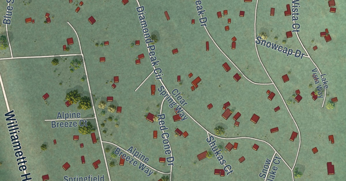
A detailed map of Crescent Lake, Oregon, showing every building in its true location, the roads by name, and shaded topographical relief.
Read More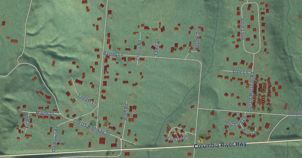
A detailed map of Knappa, Oregon, showing every building in its true location, the roads by name, and shaded topographical relief.
Read More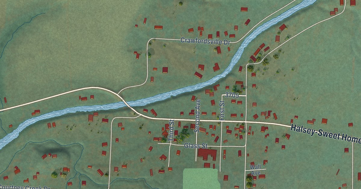
A detailed map of Crawfordsville, Oregon, showing every building in its true location, the roads by name, and shaded topographical relief.
Read More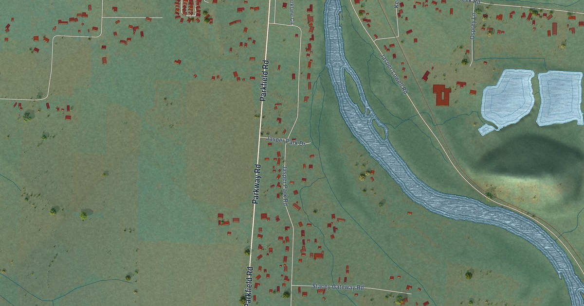
A detailed map of Jasper, Oregon, showing every building in its true location, the roads by name, and shaded topographical relief.
Read More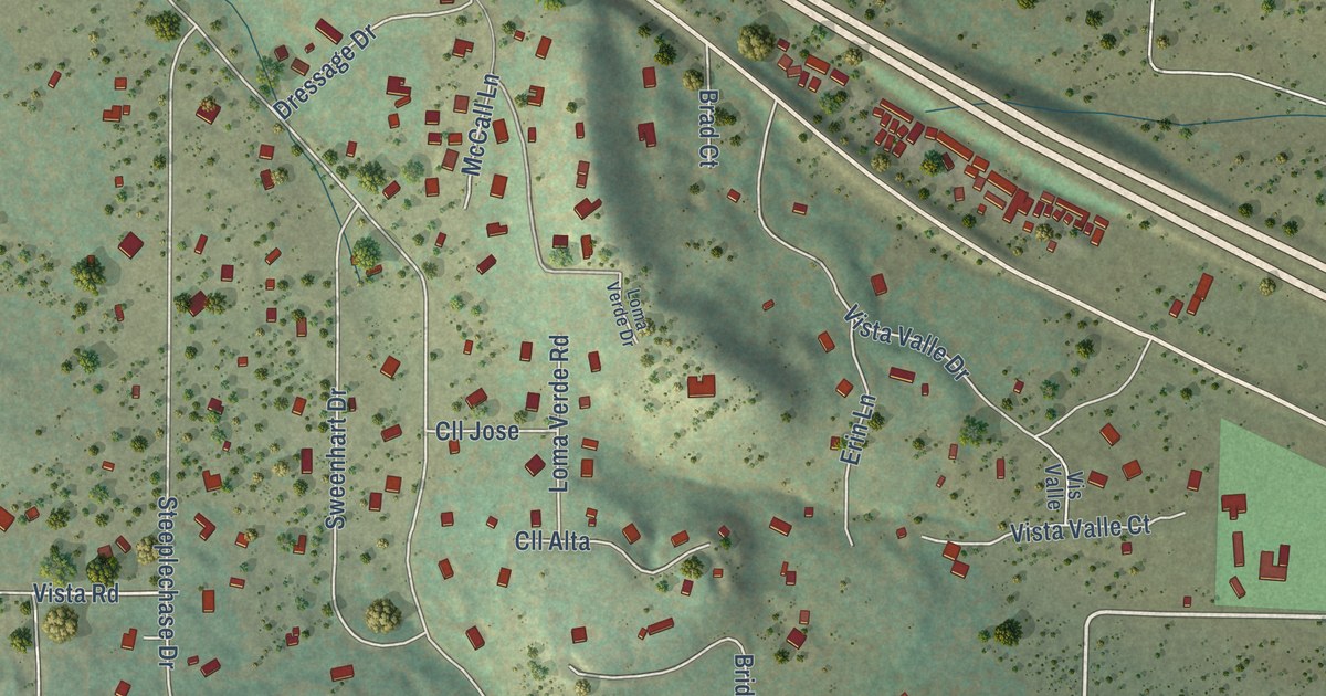
A detailed map of Sedillo, New Mexico, showing every building in its true location, the roads by name, and shaded topographical relief.
Read More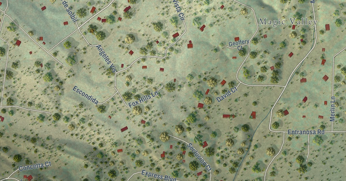
A detailed map of Sandia Knolls, New Mexico, showing every building in its true location, the roads by name, and shaded topographical relief.
Read More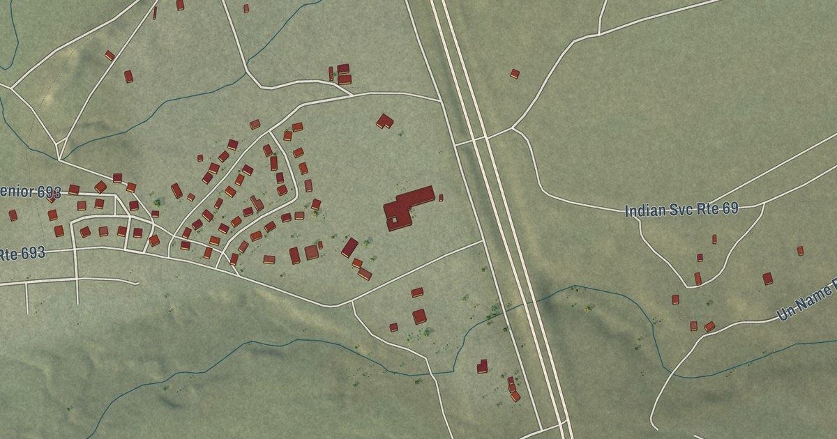
A detailed map of Naschitti, New Mexico, showing every building in its true location, the roads by name, and shaded topographical relief.
Read More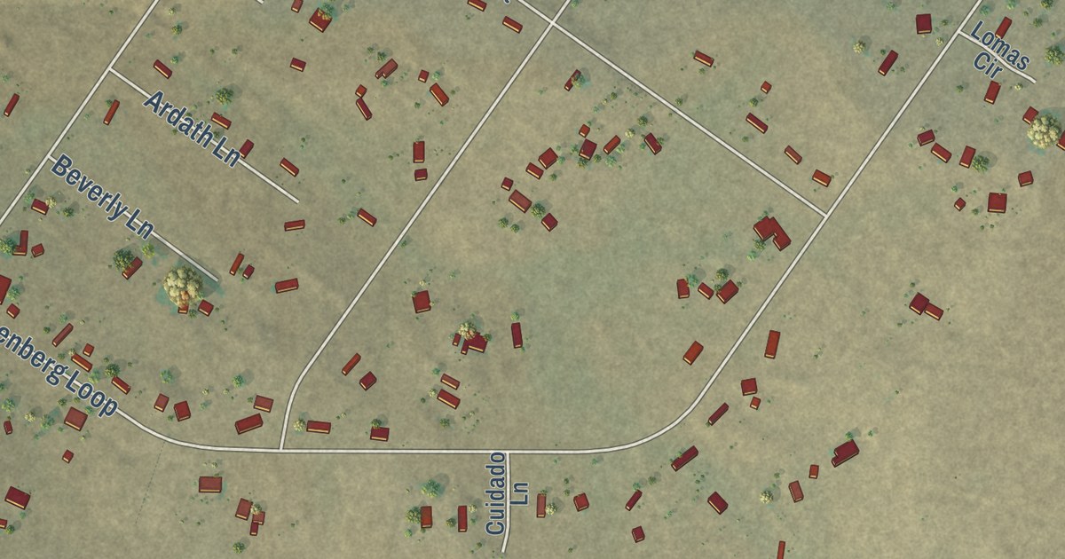
A detailed map of Madrone, New Mexico, showing every building in its true location, the roads by name, and shaded topographical relief.
Read More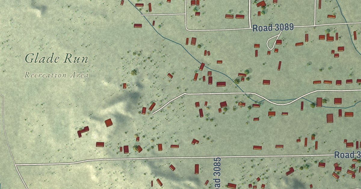
A detailed map of North Light Plant, New Mexico, showing every building in its true location, the roads by name, and shaded topographical relief.
Read More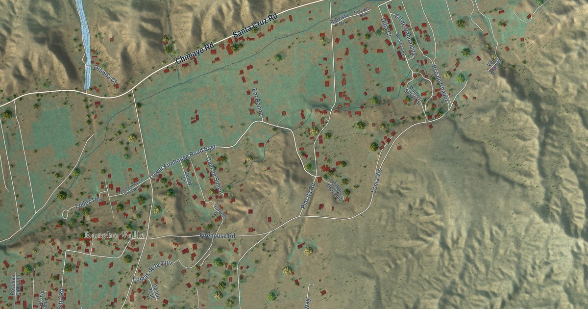
A detailed map of La Puebla, New Mexico, showing every building in its true location, the roads by name, and shaded topographical relief.
Read More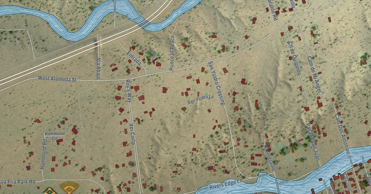
A detailed map of Agua Fria, New Mexico, showing every building in its true location, the roads by name, and shaded topographical relief.
Read More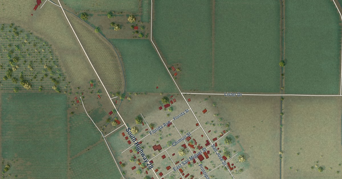
A detailed map of La Mesa, New Mexico, showing every building in its true location, the roads by name, and shaded topographical relief.
Read More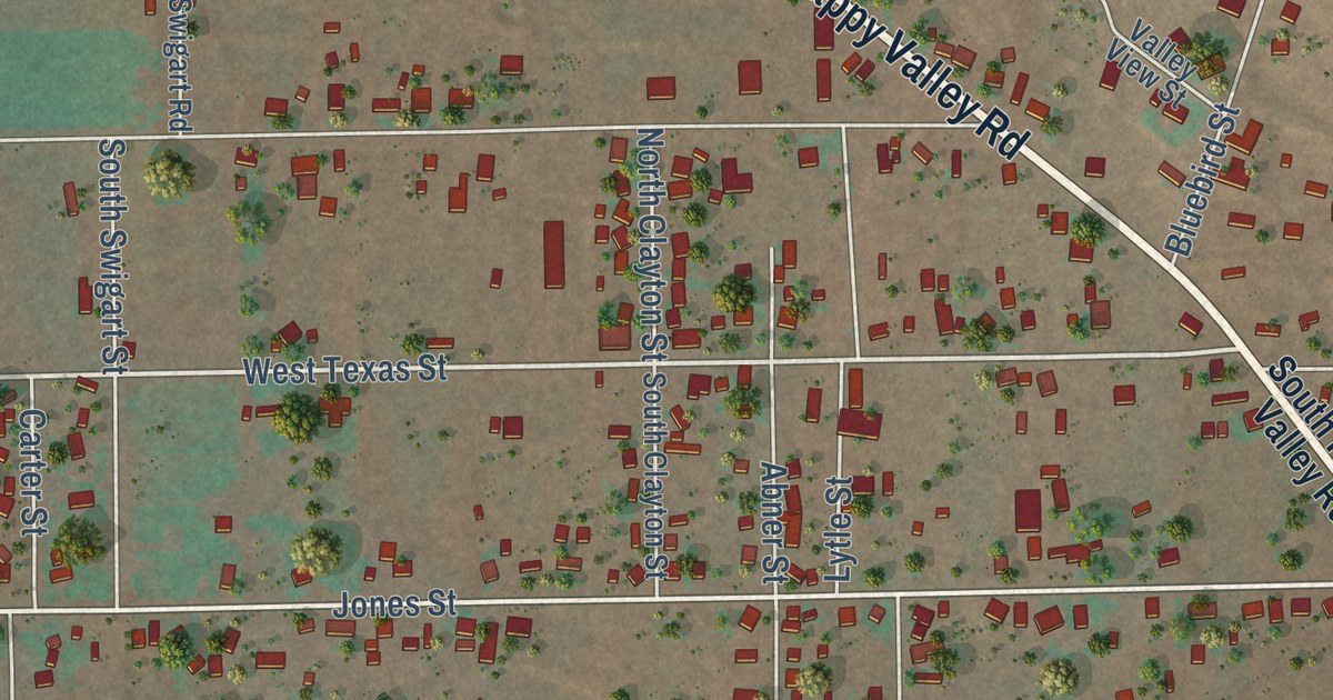
A detailed map of Happy Valley, New Mexico, showing every building in its true location, the roads by name, and shaded topographical relief.
Read More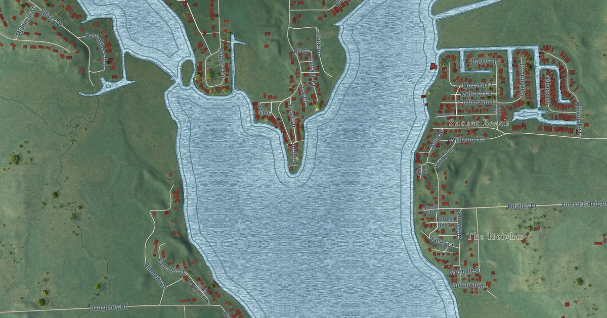
A detailed map of Vineyard Lake, Michigan, showing every building in its true location, the roads by name, and shaded topographical relief.
Read More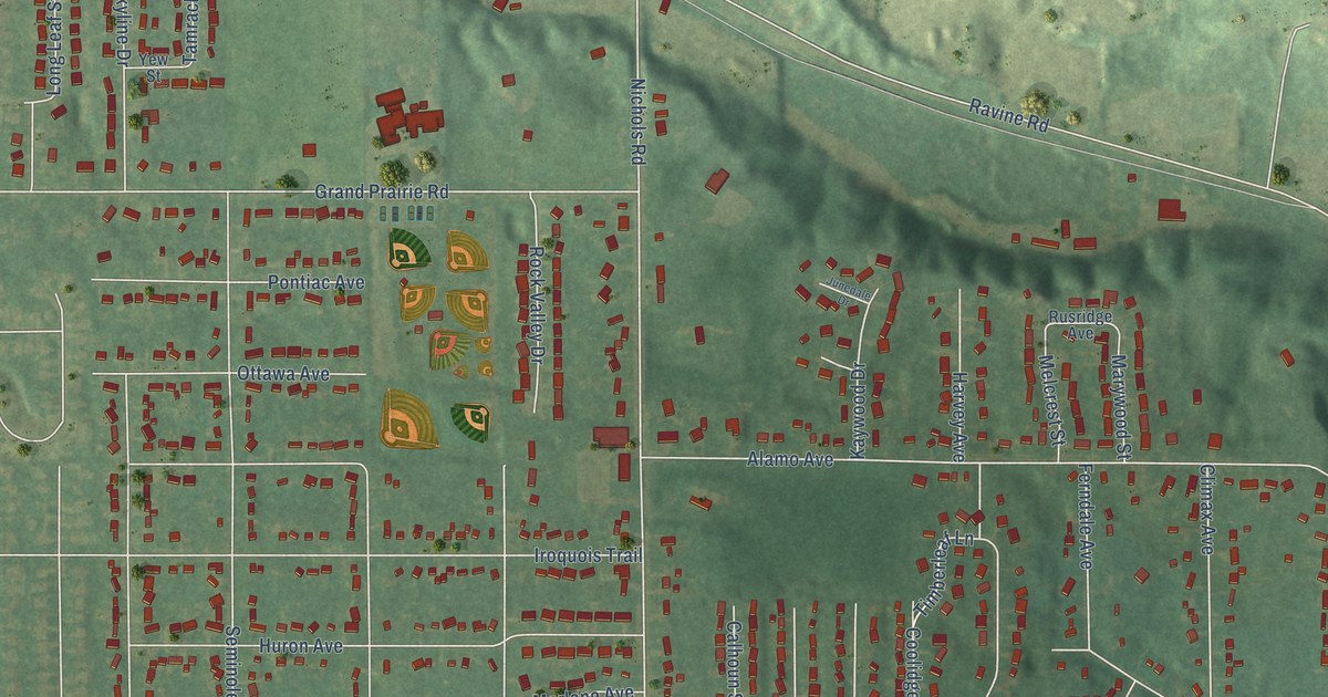
A detailed map of Westwood, Michigan, showing every building in its true location, the roads by name, and shaded topographical relief.
Read More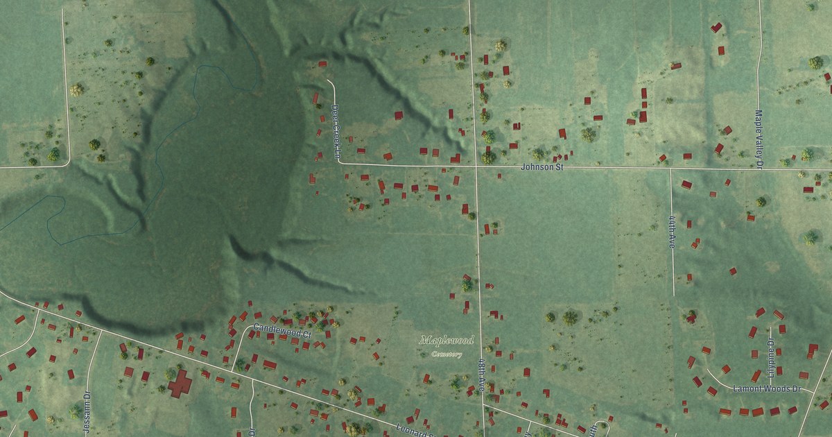
A detailed map of Lamont, Michigan, showing every building in its true location, the roads by name, and shaded topographical relief.
Read More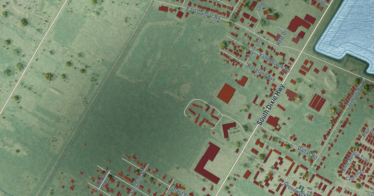
A detailed map of South Monroe, Michigan, showing every building in its true location, the roads by name, and shaded topographical relief.
Read More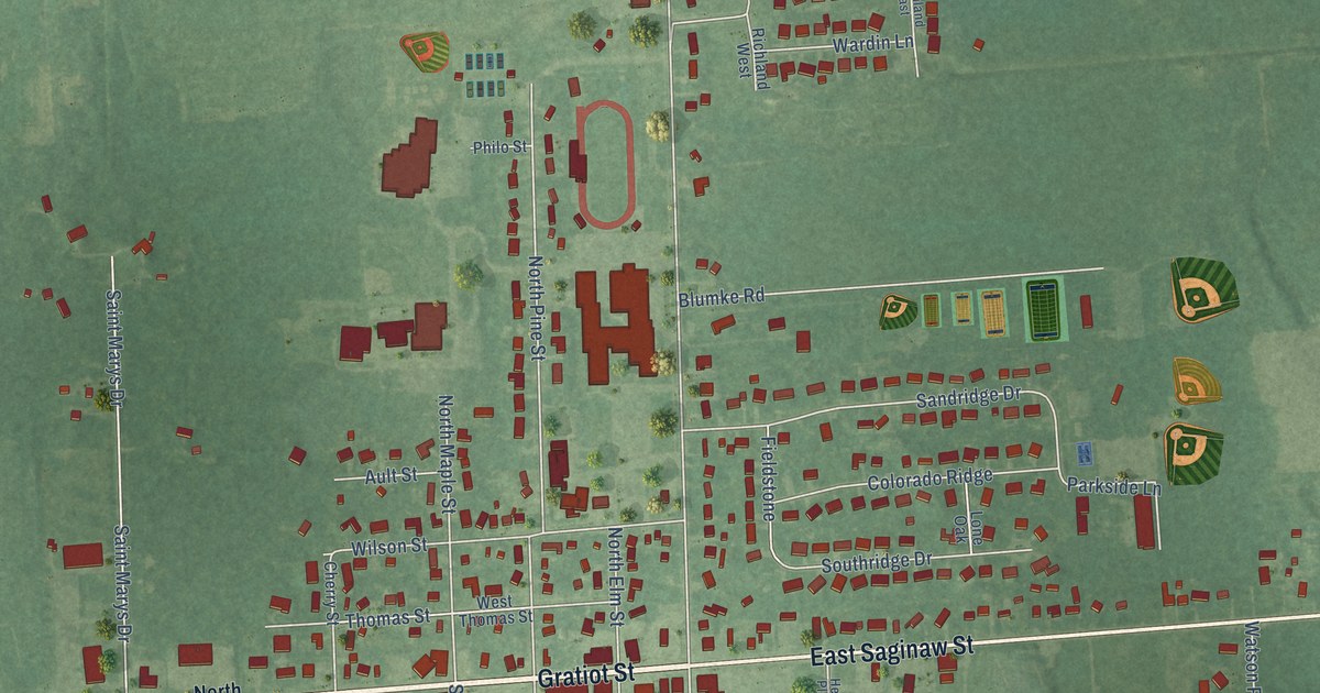
A detailed map of Hemlock, Michigan, showing every building in its true location, the roads by name, and shaded topographical relief.
Read More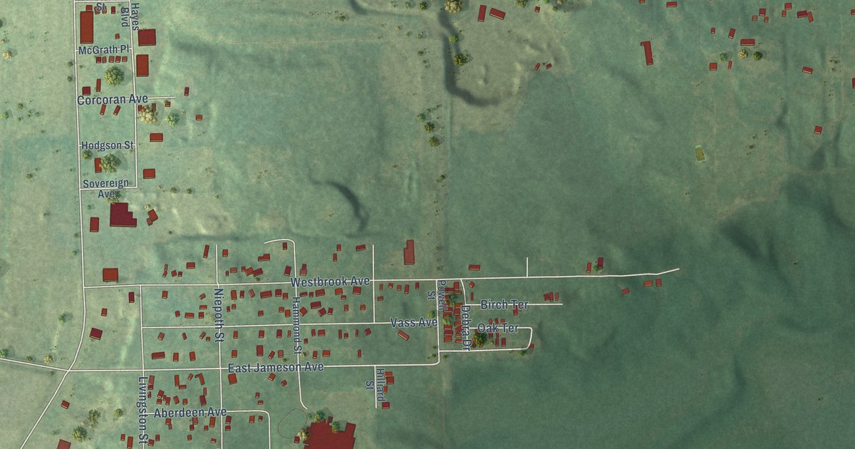
A detailed map of Brownlee Park, Michigan, showing every building in its true location, the roads by name, and shaded topographical relief.
Read More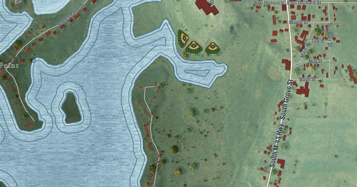
A detailed map of Delton, Michigan, showing every building in its true location, the roads by name, and shaded topographical relief.
Read More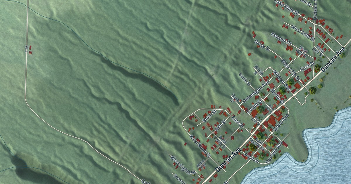
A detailed map of Hubbell, Michigan, showing every building in its true location, the roads by name, and shaded topographical relief.
Read More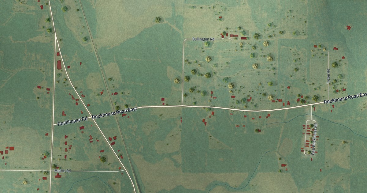
A detailed map of Wenona, Georgia, showing every building in its true location, the roads by name, and shaded topographical relief.
Read More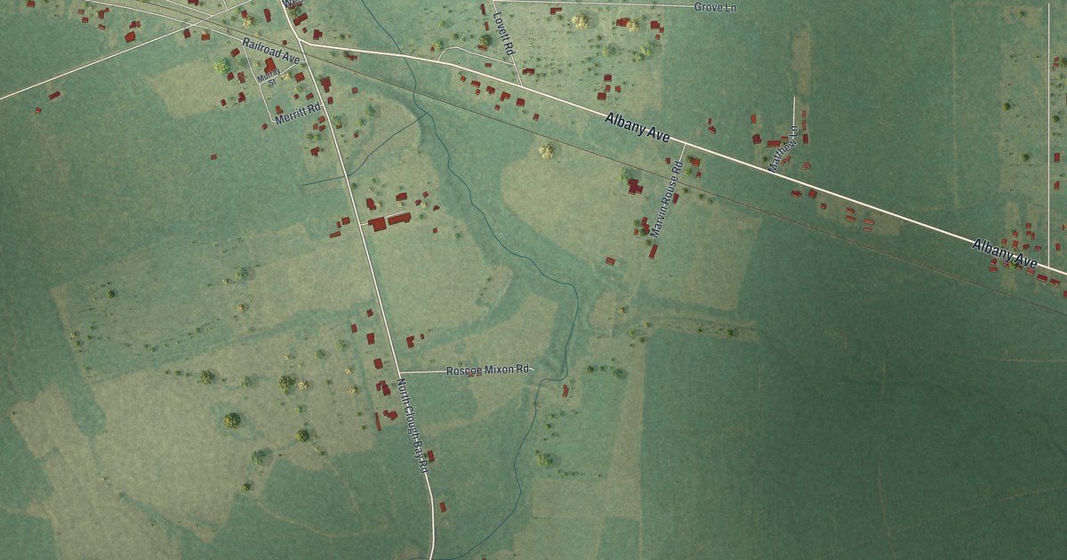
A detailed map of Waresboro, Georgia, showing every building in its true location, the roads by name, and shaded topographical relief.
Read More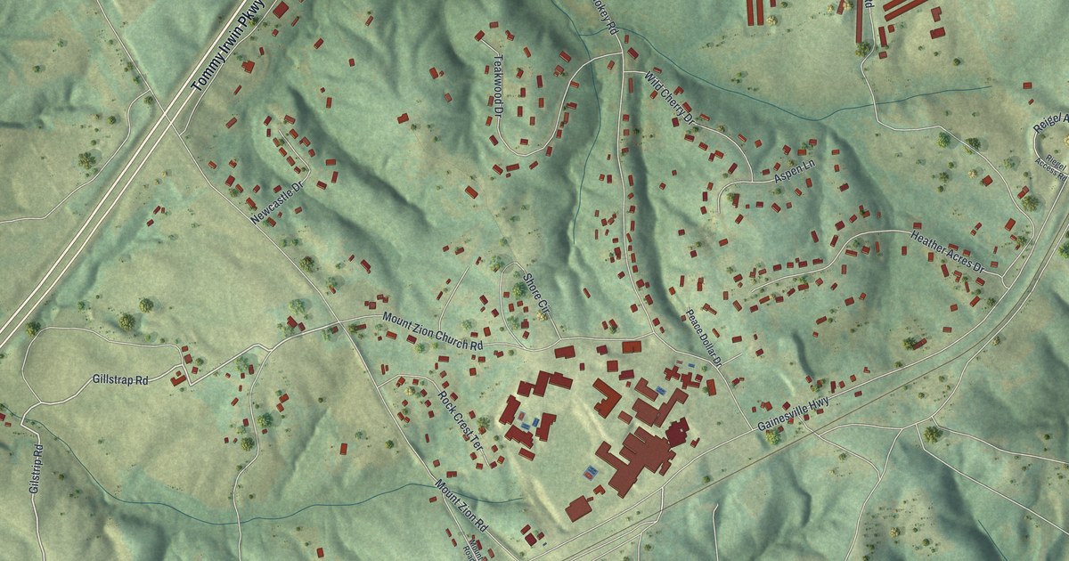
A detailed map of Raoul, Georgia, showing every building in its true location, the roads by name, and shaded topographical relief.
Read More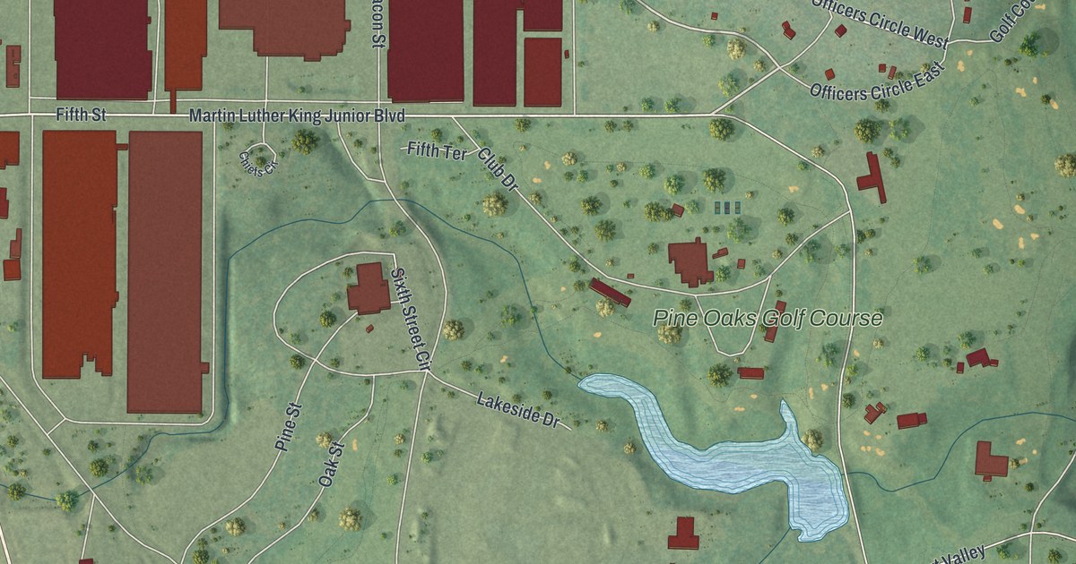
A detailed map of Robins AFB, Georgia, showing every building in its true location, the roads by name, and shaded topographical relief.
Read More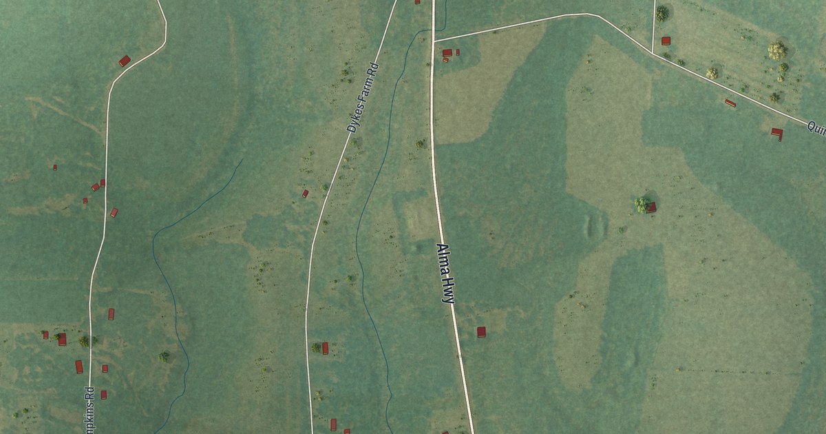
A detailed map of Satilla, Georgia, showing every building in its true location, the roads by name, and shaded topographical relief.
Read More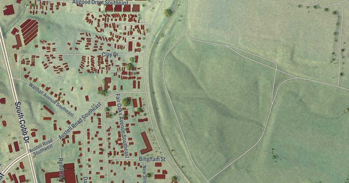
A detailed map of Fair Oaks, Georgia, showing every building in its true location, the roads by name, and shaded topographical relief.
Read More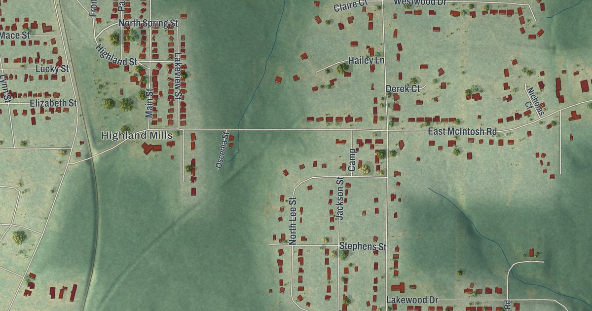
A detailed map of Experiment, Georgia, showing every building in its true location, the roads by name, and shaded topographical relief.
Read More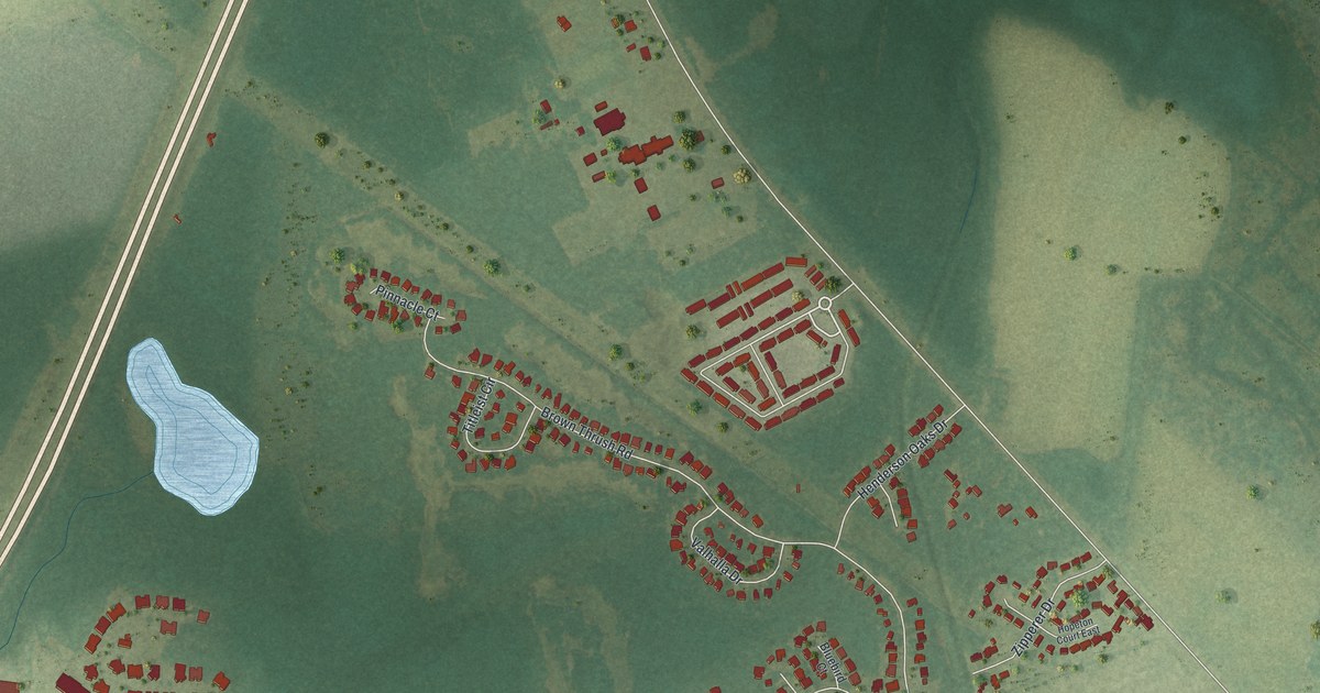
A detailed map of Henderson, Georgia, showing every building in its true location, the roads by name, and shaded topographical relief.
Read More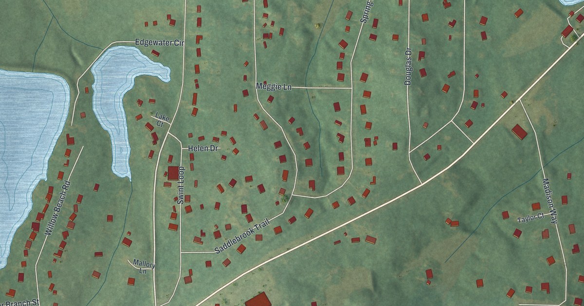
A detailed map of Ellerslie, Georgia, showing every building in its true location, the roads by name, and shaded topographical relief.
Read More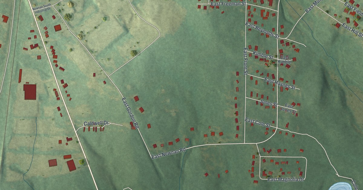
A detailed map of East Newnan, Georgia, showing every building in its true location, the roads by name, and shaded topographical relief.
Read More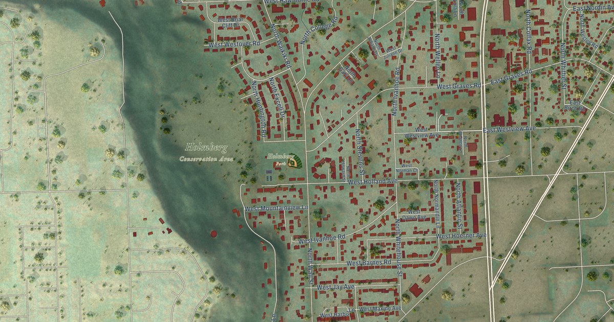
A detailed map of Country Homes, Washington, showing every building in its true location, the roads by name, and shaded topographical relief.
Read More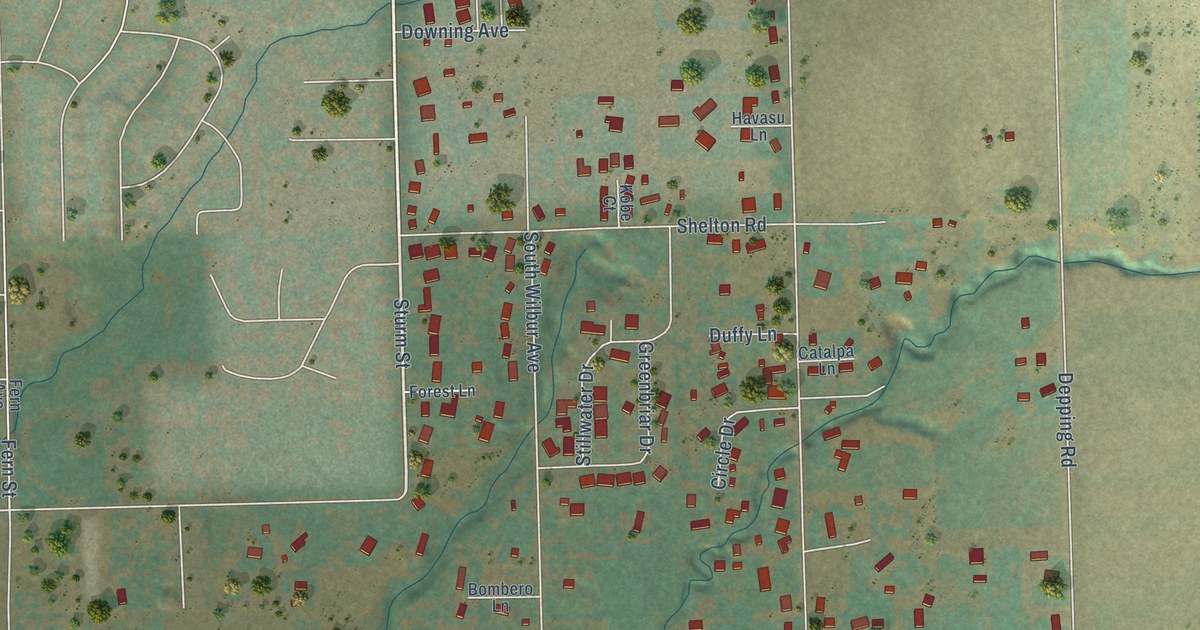
A detailed map of Walla Walla East, Washington, showing every building in its true location, the roads by name, and shaded topographical relief.
Read More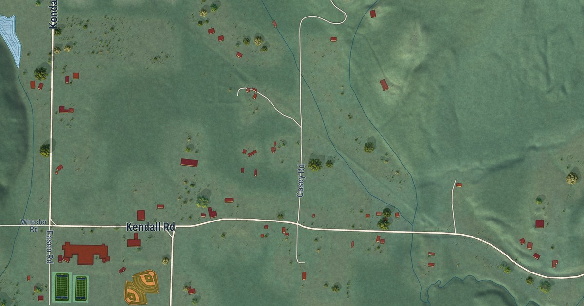
A detailed map of Kendall, Washington, showing every building in its true location, the roads by name, and shaded topographical relief.
Read More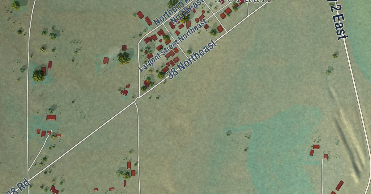
A detailed map of Banks Lake South, Washington, showing every building in its true location, the roads by name, and shaded topographical relief.
Read More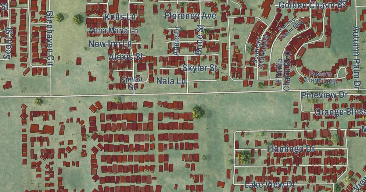
A detailed map of Zephyrhills South, Florida, showing every building in its true location, the roads by name, and shaded topographical relief.
Read More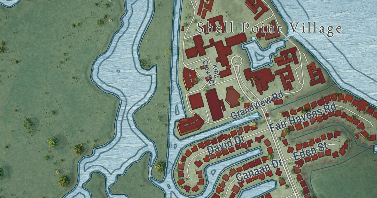
A detailed map of Punta Rassa, Florida, showing every building in its true location, the roads by name, and shaded topographical relief.
Read More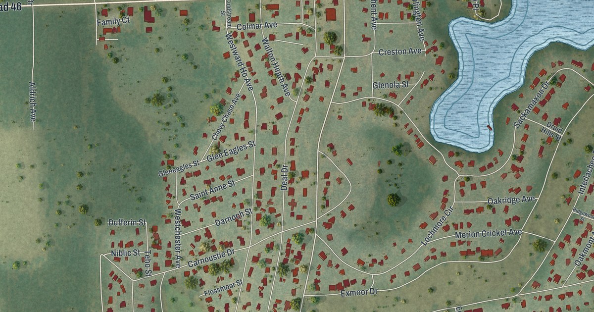
A detailed map of Mount Plymouth, Florida, showing every building in its true location, the roads by name, and shaded topographical relief.
Read More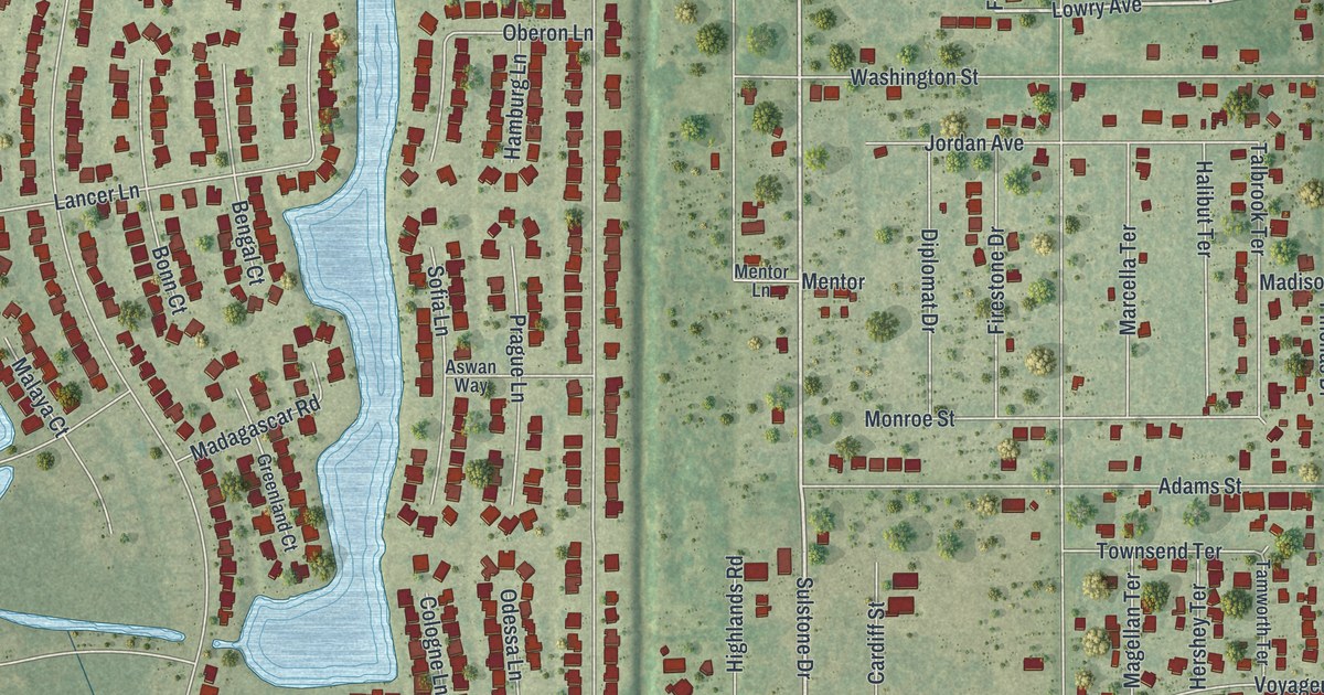
A detailed map of Harbour Heights, Florida, showing every building in its true location, the roads by name, and shaded topographical relief.
Read More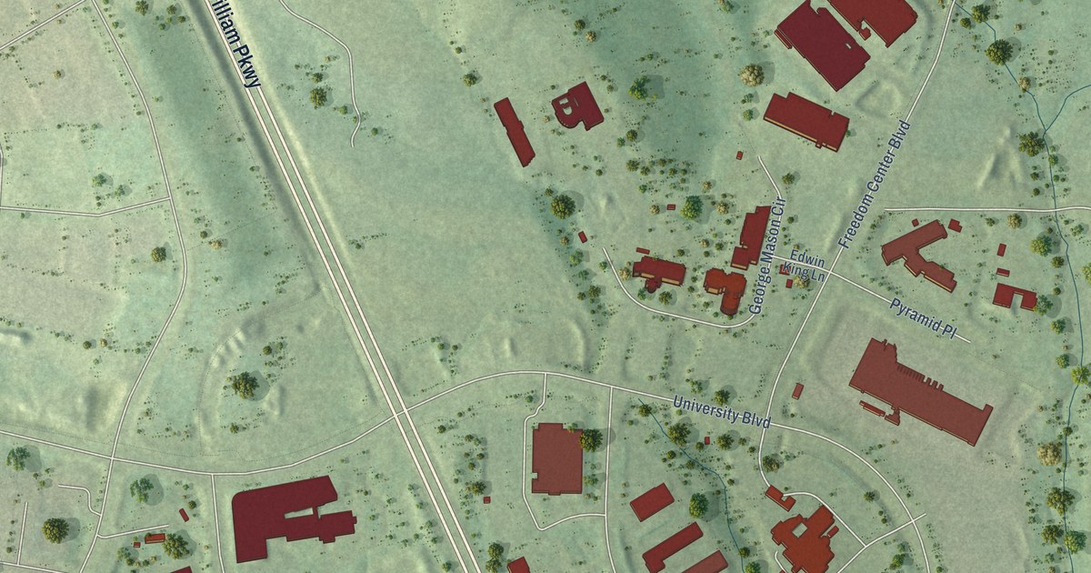
A detailed map of Innovation, Virginia, showing every building in its true location, the roads by name, and shaded topographical relief.
Read More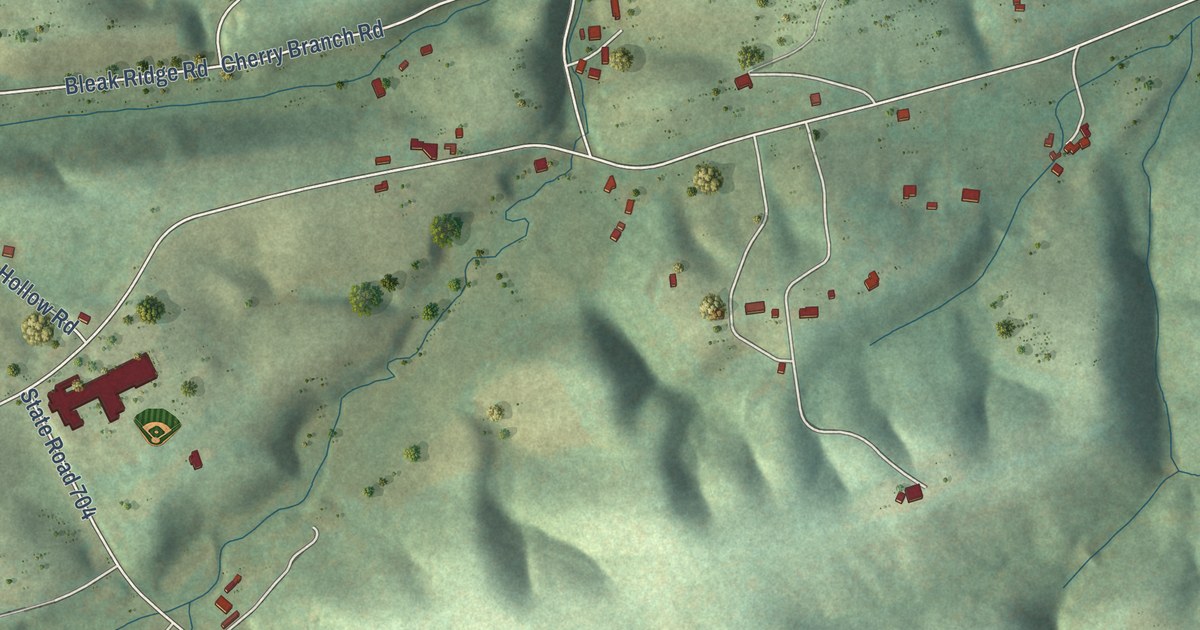
A detailed map of Snowville, Virginia, showing every building in its true location, the roads by name, and shaded topographical relief.
Read More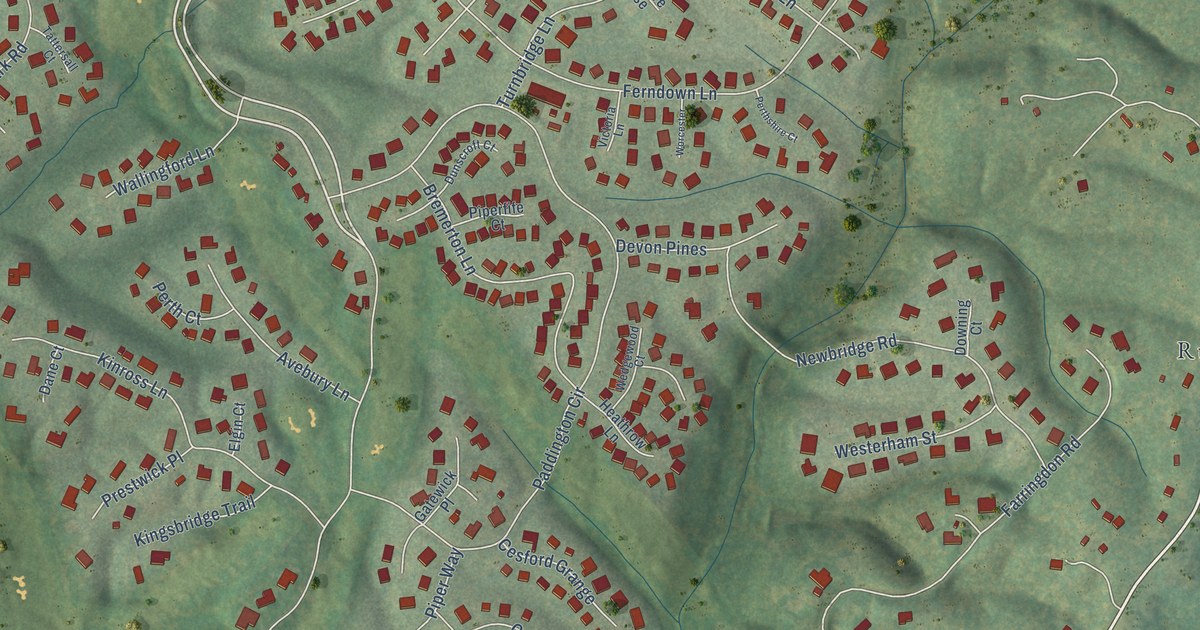
A detailed map of Rivanna, Virginia, showing every building in its true location, the roads by name, and shaded topographical relief.
Read More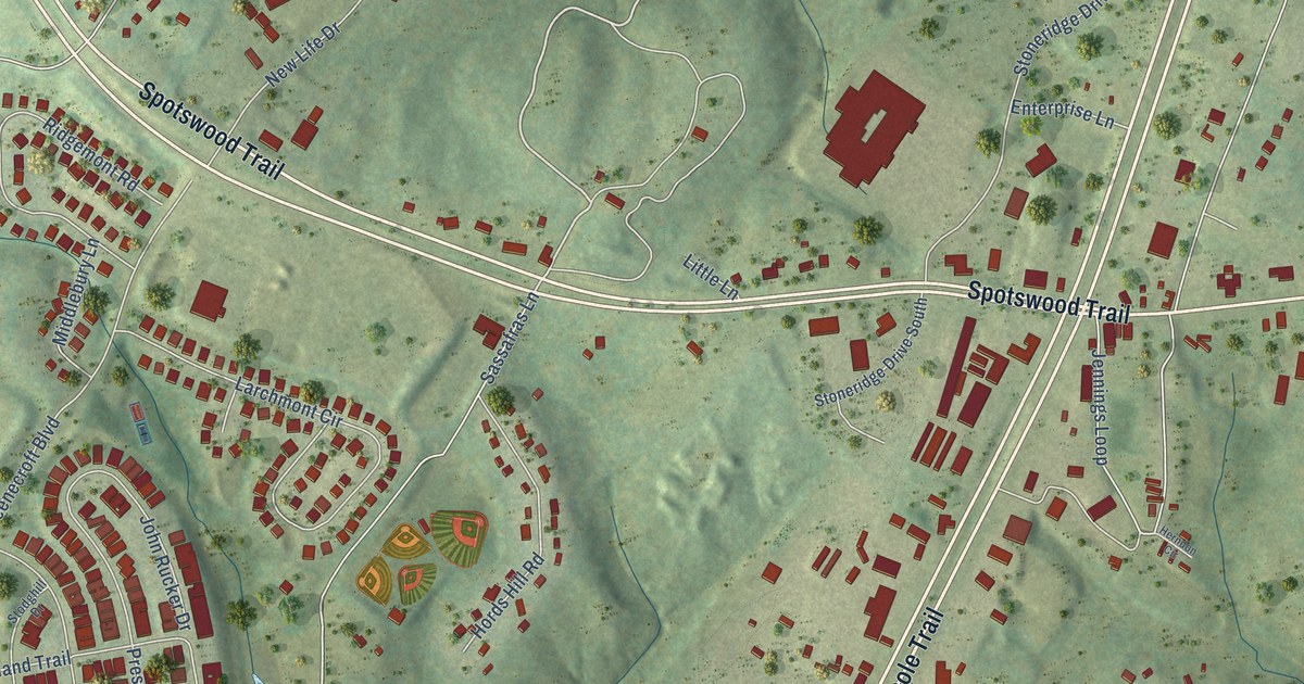
A detailed map of Ruckersville, Virginia, showing every building in its true location, the roads by name, and shaded topographical relief.
Read More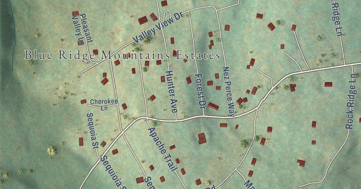
A detailed map of Chester Gap, Virginia, showing every building in its true location, the roads by name, and shaded topographical relief.
Read More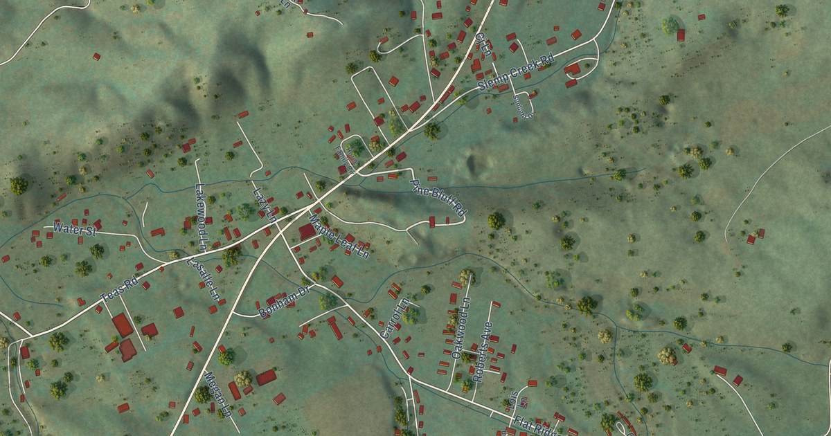
A detailed map of Sugar Grove, Virginia, showing every building in its true location, the roads by name, and shaded topographical relief.
Read More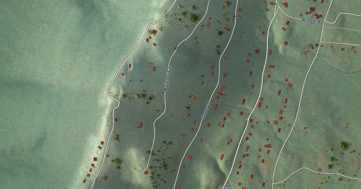
A detailed map of Bull Run Mountain Estates, Virginia, showing every building in its true location, the roads by name, and shaded topographical relief.
Read More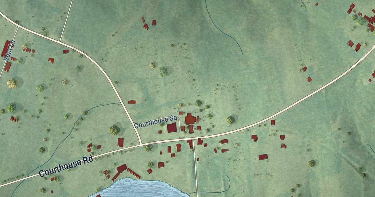
A detailed map of Lunenburg, Virginia, showing every building in its true location, the roads by name, and shaded topographical relief.
Read More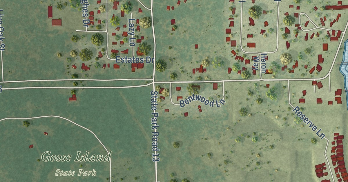
A detailed map of Lamar, Texas, showing every building in its true location, the roads by name, and shaded topographical relief.
Read More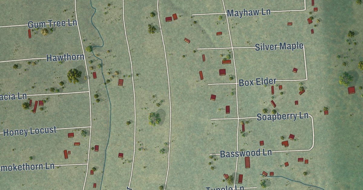
A detailed map of Pinebrook, Texas, showing every building in its true location, the roads by name, and shaded topographical relief.
Read More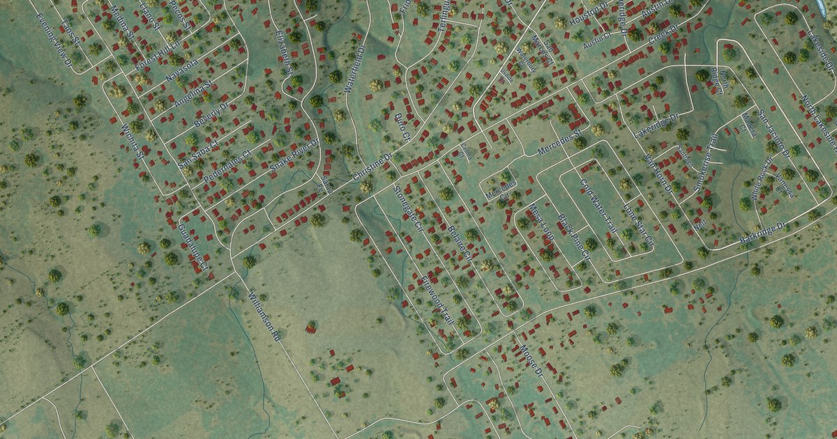
A detailed map of Canyon Creek, Texas, showing every building in its true location, the roads by name, and shaded topographical relief.
Read More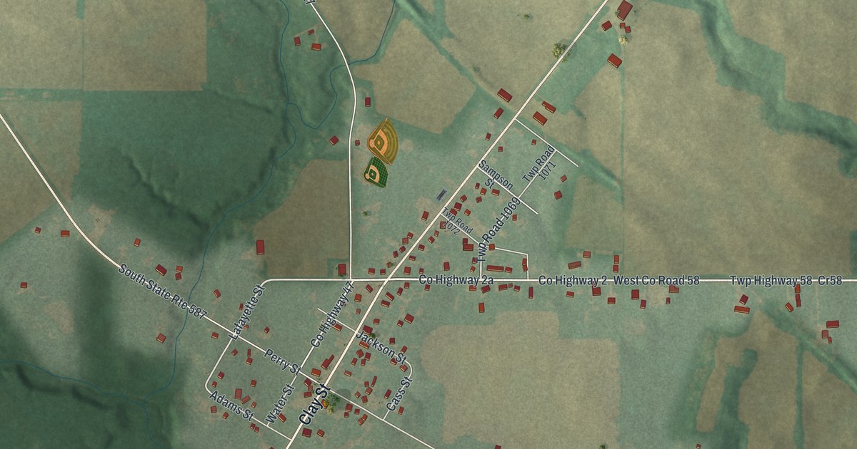
A detailed map of McCutchenville, Ohio, showing every building in its true location, the roads by name, and shaded topographical relief.
Read More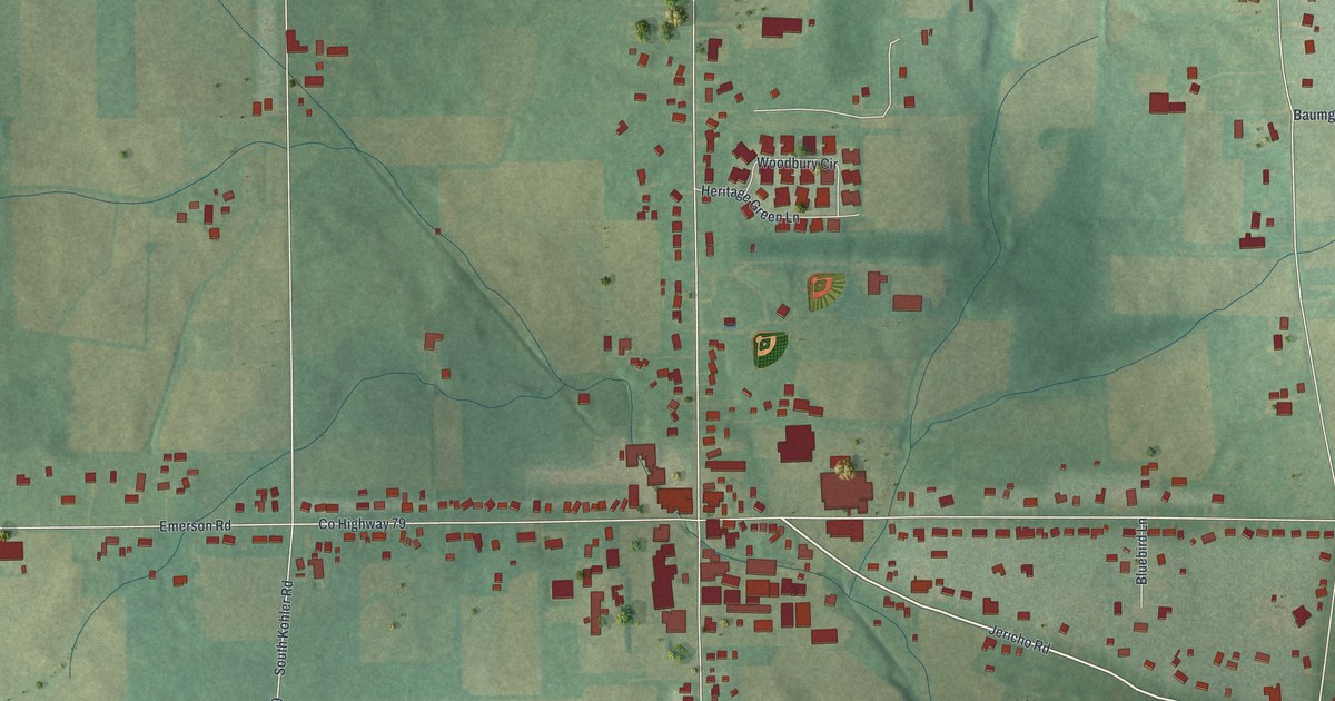
A detailed map of Kidron, Ohio, showing every building in its true location, the roads by name, and shaded topographical relief.
Read More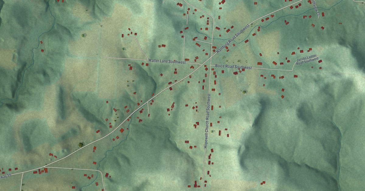
A detailed map of Hamburg, Ohio, showing every building in its true location, the roads by name, and shaded topographical relief.
Read More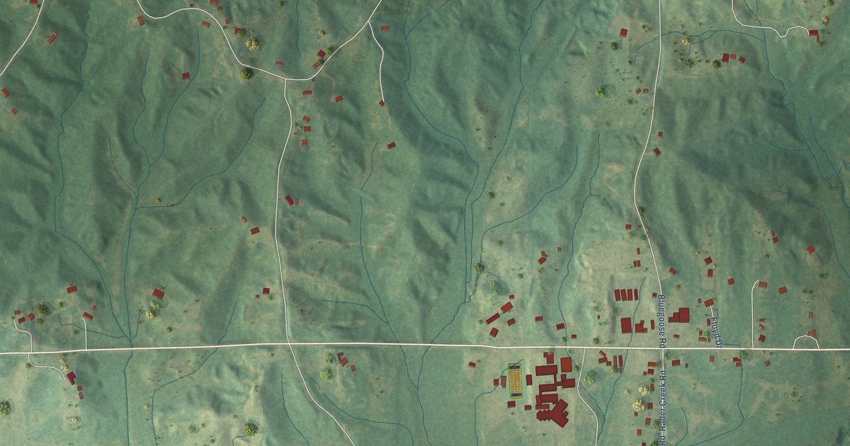
A detailed map of Strayhorn, Mississippi, showing every building in its true location, the roads by name, and shaded topographical relief.
Read More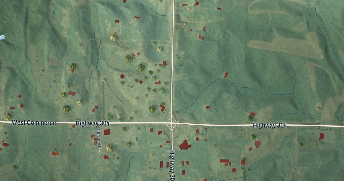
A detailed map of Eudora, Mississippi, showing every building in its true location, the roads by name, and shaded topographical relief.
Read More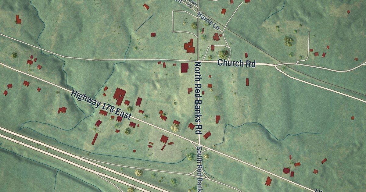
A detailed map of Red Banks, Mississippi, showing every building in its true location, the roads by name, and shaded topographical relief.
Read More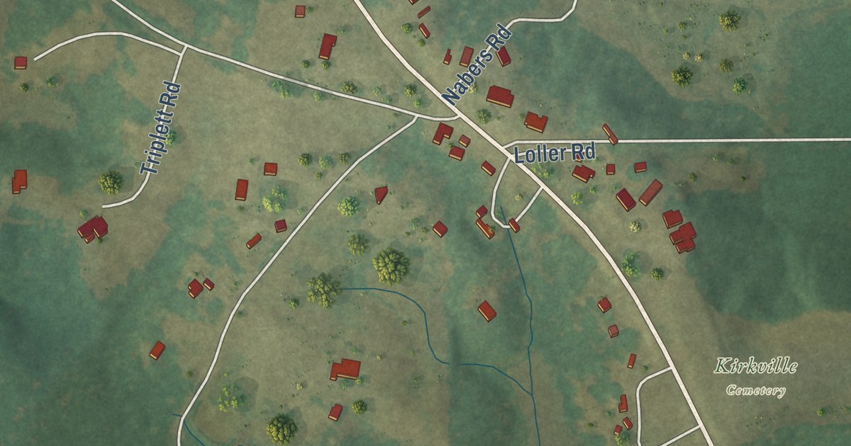
A detailed map of Kirkville, Mississippi, showing every building in its true location, the roads by name, and shaded topographical relief.
Read More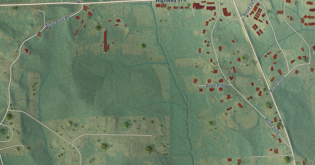
A detailed map of Mooreville, Mississippi, showing every building in its true location, the roads by name, and shaded topographical relief.
Read More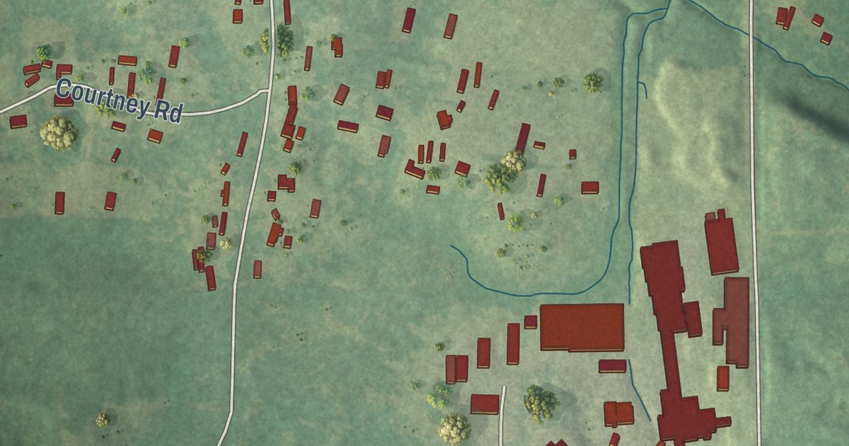
A detailed map of Hermanville, Mississippi, showing every building in its true location, the roads by name, and shaded topographical relief.
Read More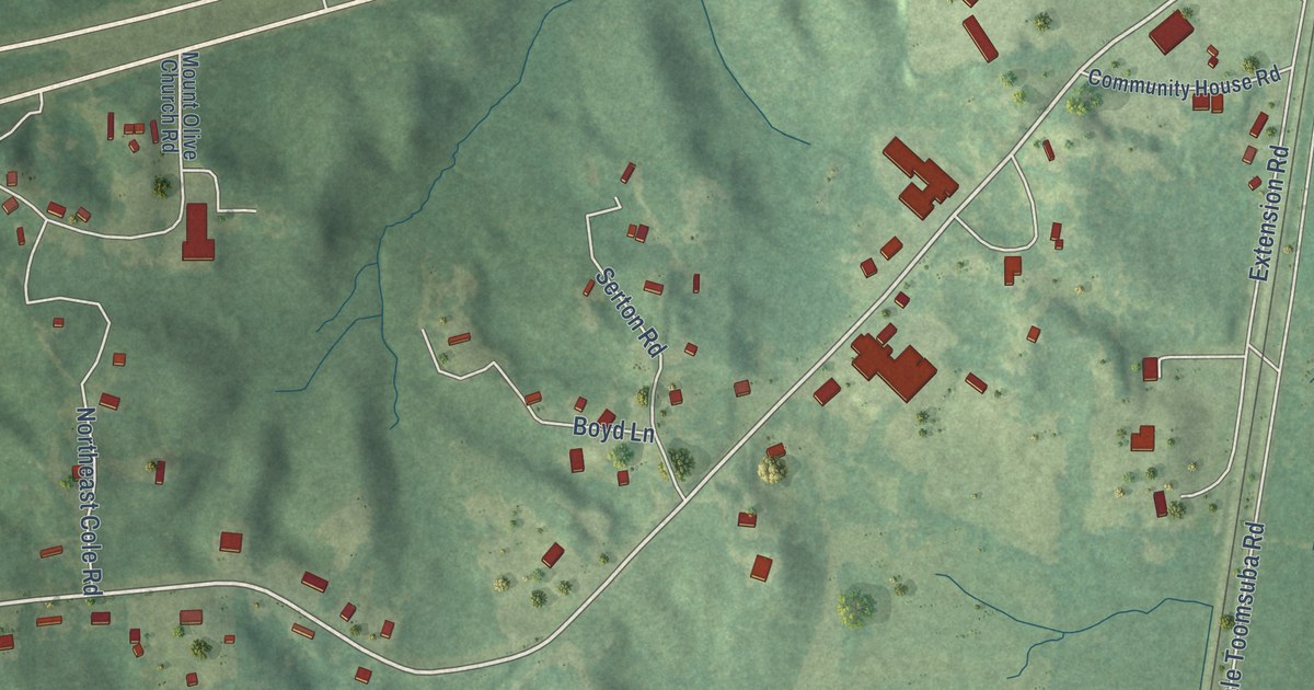
A detailed map of Lauderdale, Mississippi, showing every building in its true location, the roads by name, and shaded topographical relief.
Read More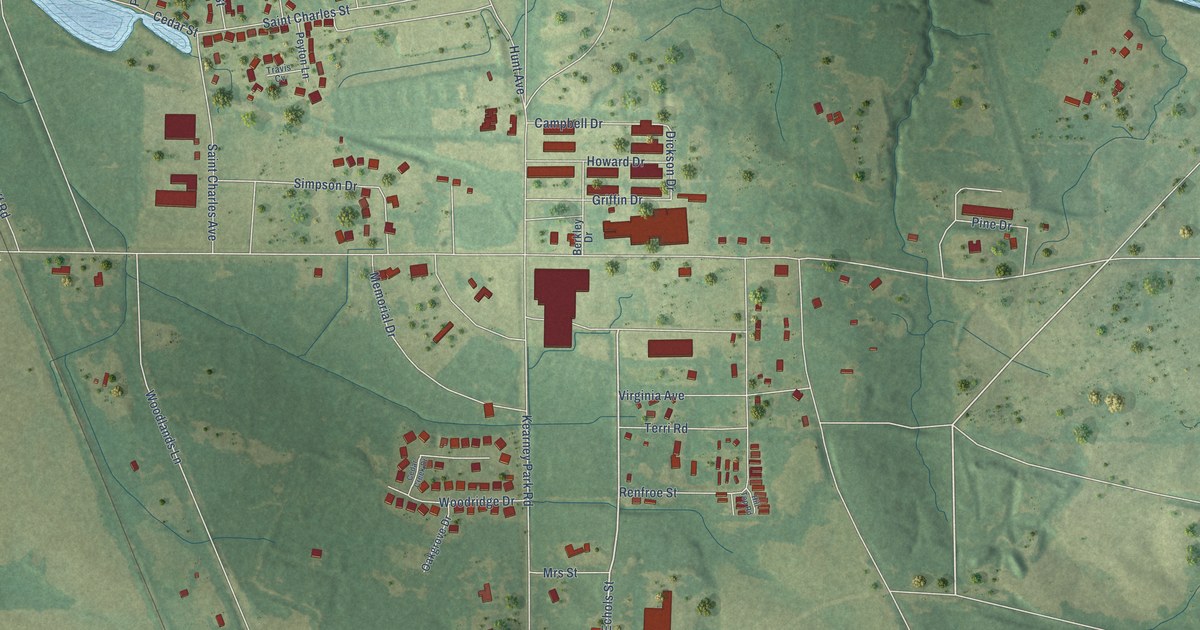
A detailed map of Kearney Park, Mississippi, showing every building in its true location, the roads by name, and shaded topographical relief.
Read More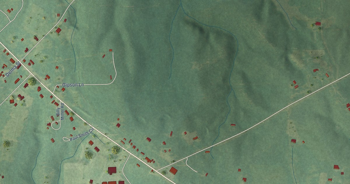
A detailed map of Baxterville, Mississippi, showing every building in its true location, the roads by name, and shaded topographical relief.
Read More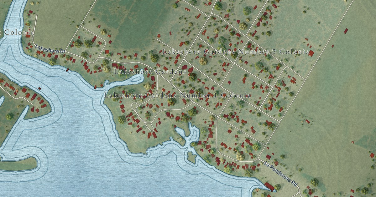
A detailed map of Lakeshore Gardens-Hidden Acres, Texas, showing every building in its true location, the roads by name, and shaded topographical relief.
Read More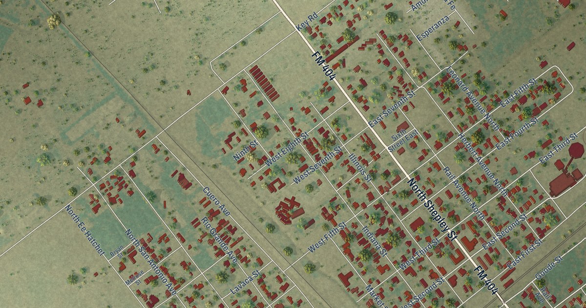
A detailed map of Bloomington, Texas, showing every building in its true location, the roads by name, and shaded topographical relief.
Read More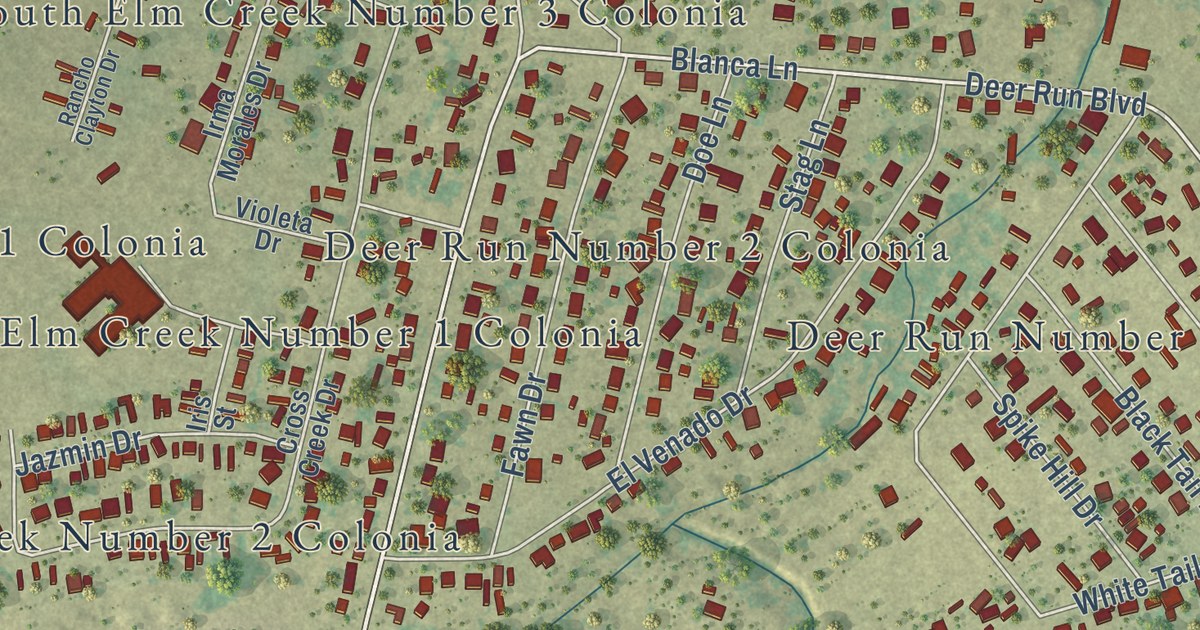
A detailed map of Elm Creek, Texas, showing every building in its true location, the roads by name, and shaded topographical relief.
Read More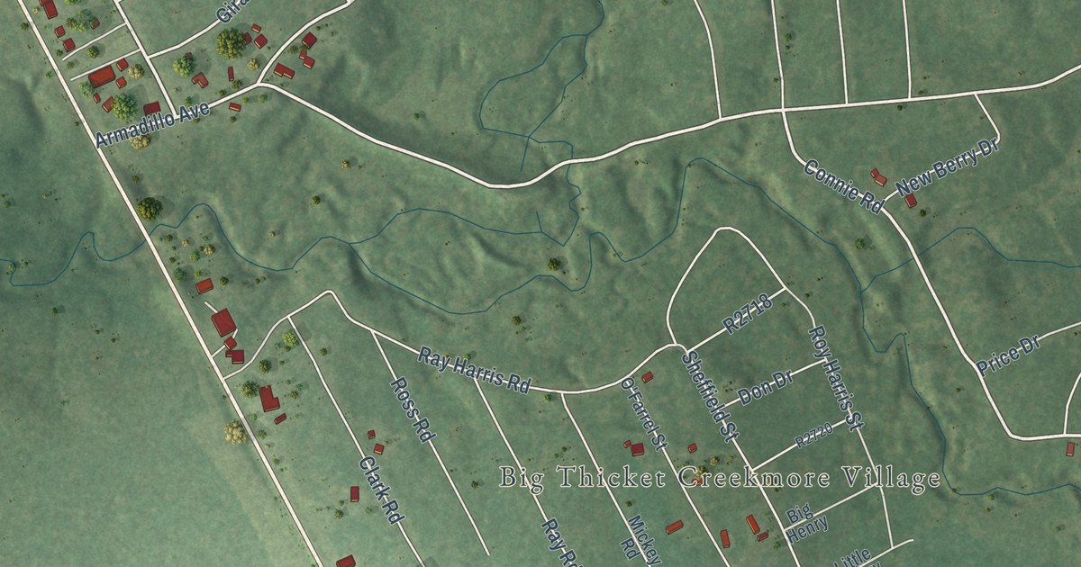
A detailed map of Big Thicket Lake Estates, Texas, showing every building in its true location, the roads by name, and shaded topographical relief.
Read More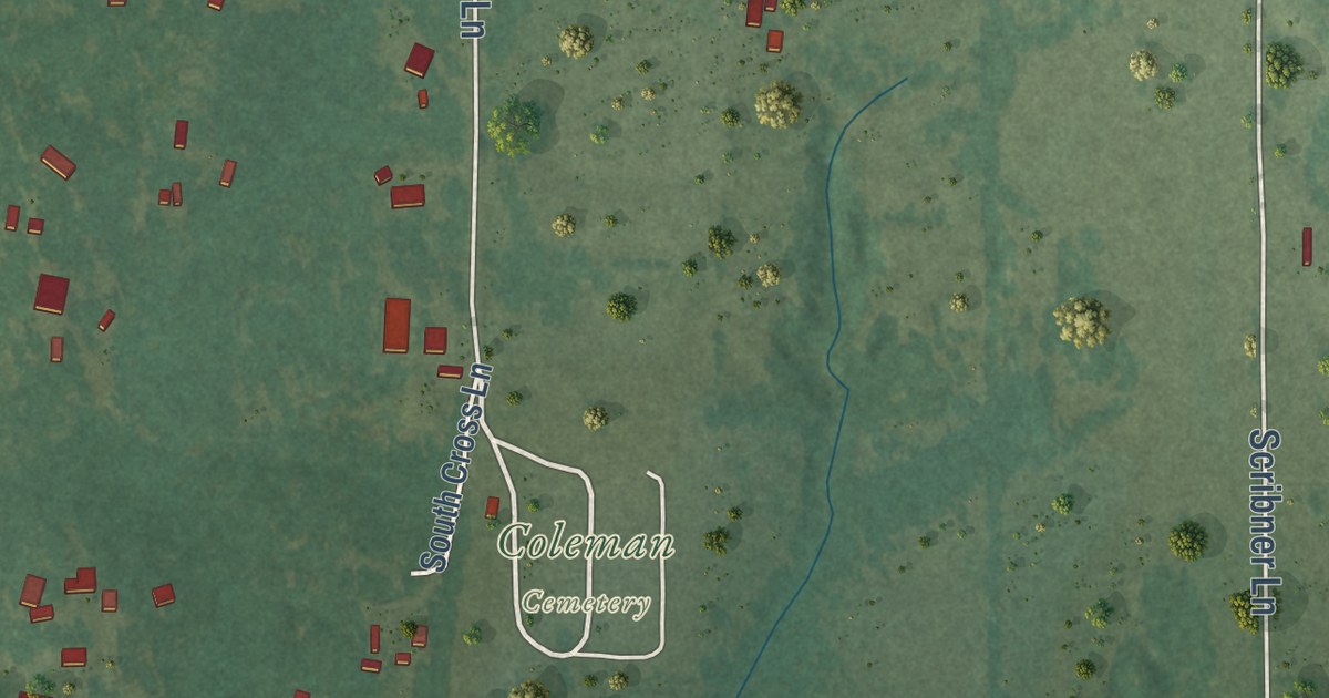
A detailed map of Coleman, Oklahoma, showing every building in its true location, the roads by name, and shaded topographical relief.
Read More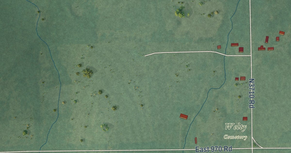
A detailed map of Welty, Oklahoma, showing every building in its true location, the roads by name, and shaded topographical relief.
Read More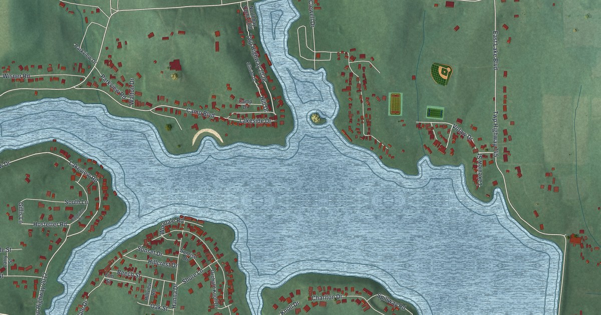
A detailed map of Guilford Lake, Ohio, showing every building in its true location, the roads by name, and shaded topographical relief.
Read More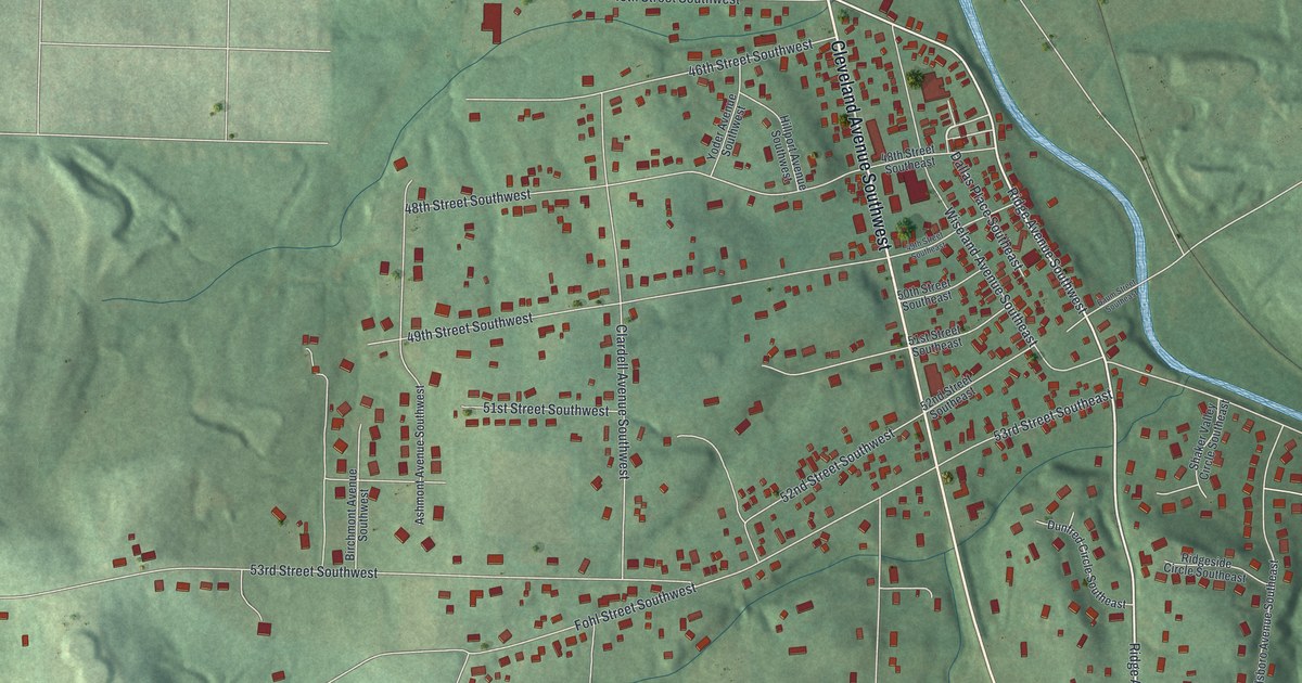
A detailed map of North Industry, Ohio, showing every building in its true location, the roads by name, and shaded topographical relief.
Read More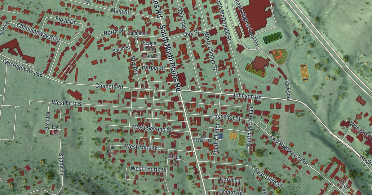
A detailed map of The Plains, Ohio, showing every building in its true location, the roads by name, and shaded topographical relief.
Read More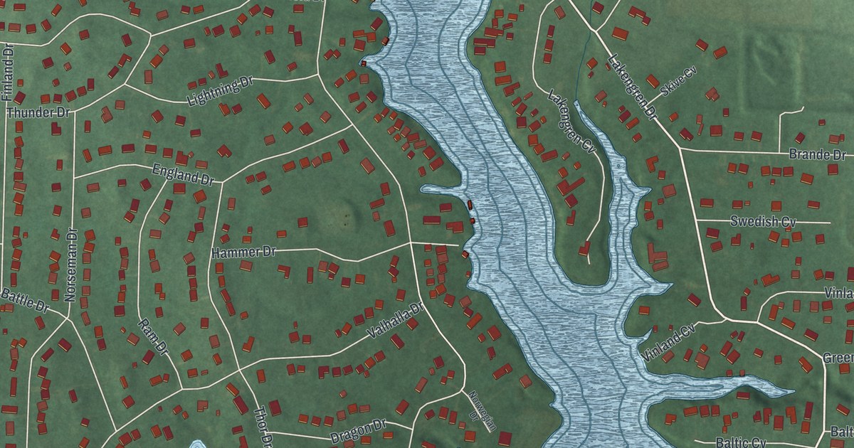
A detailed map of Lake Lakengren, Ohio, showing every building in its true location, the roads by name, and shaded topographical relief.
Read More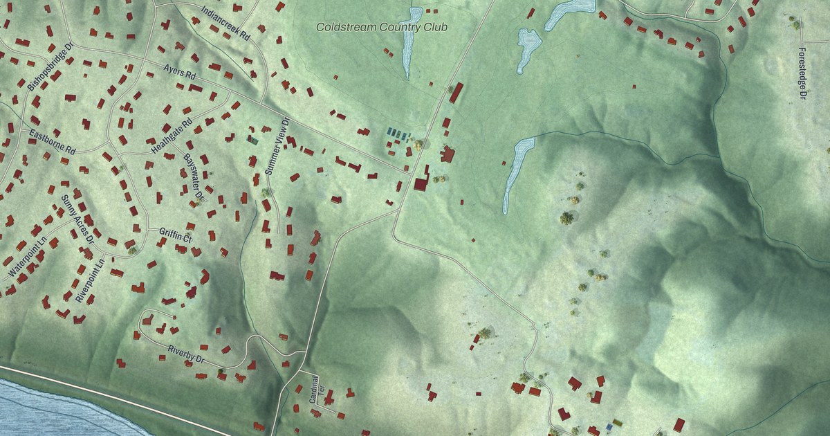
A detailed map of Coldstream, Ohio, showing every building in its true location, the roads by name, and shaded topographical relief.
Read More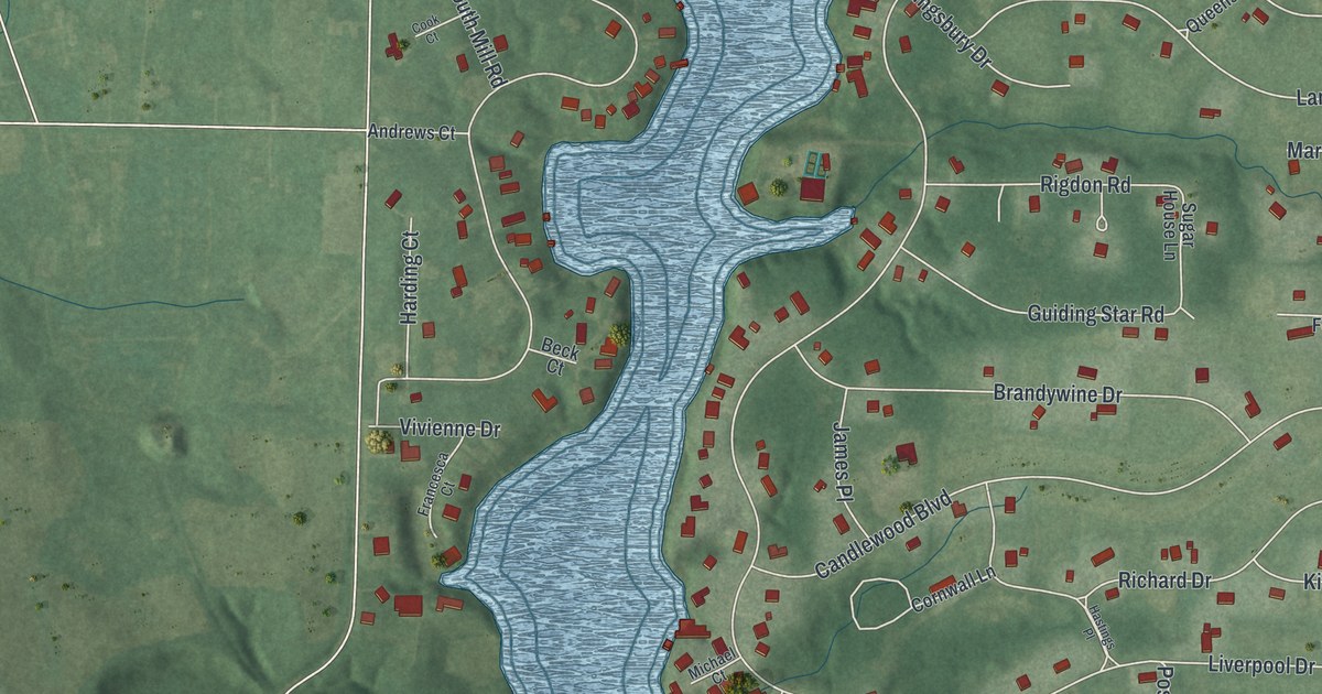
A detailed map of Candlewood Lake, Ohio, showing every building in its true location, the roads by name, and shaded topographical relief.
Read More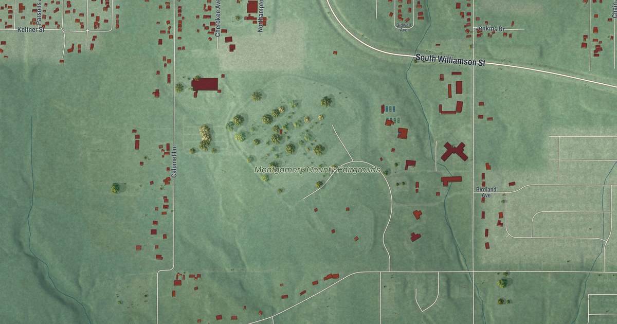
A detailed map of Drexel, Ohio, showing every building in its true location, the roads by name, and shaded topographical relief.
Read More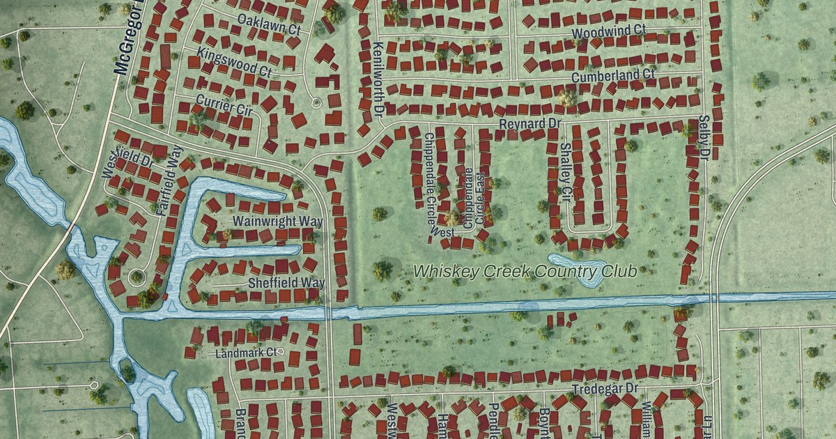
A detailed map of Whiskey Creek, Florida, showing every building in its true location, the roads by name, and shaded topographical relief.
Read More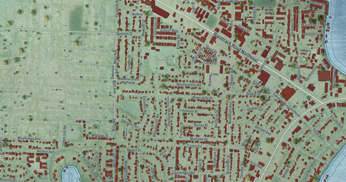
A detailed map of Ocean City, Florida, showing every building in its true location, the roads by name, and shaded topographical relief.
Read More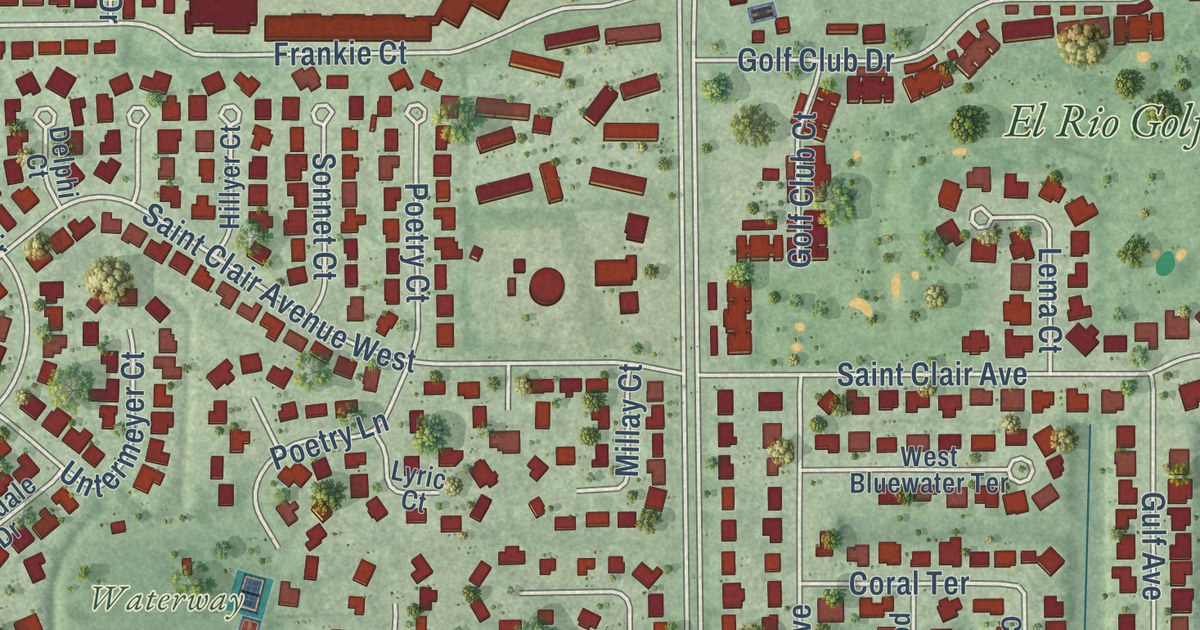
A detailed map of Lochmoor Waterway Estates, Florida, showing every building in its true location, the roads by name, and shaded topographical relief.
Read More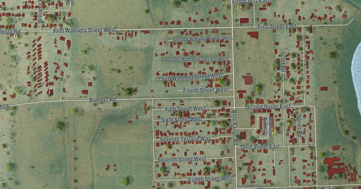
A detailed map of Wahneta, Florida, showing every building in its true location, the roads by name, and shaded topographical relief.
Read More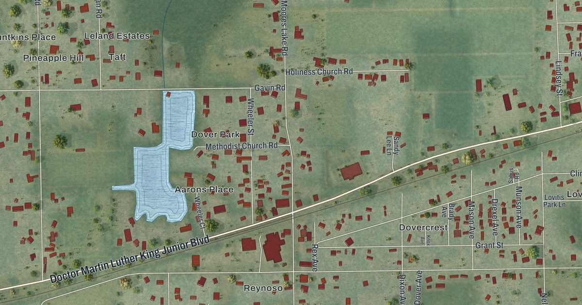
A detailed map of Dover, Florida, showing every building in its true location, the roads by name, and shaded topographical relief.
Read More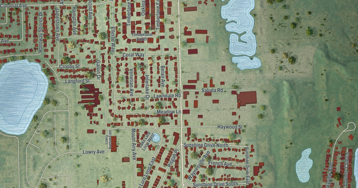
A detailed map of Crystal Lake, Florida, showing every building in its true location, the roads by name, and shaded topographical relief.
Read More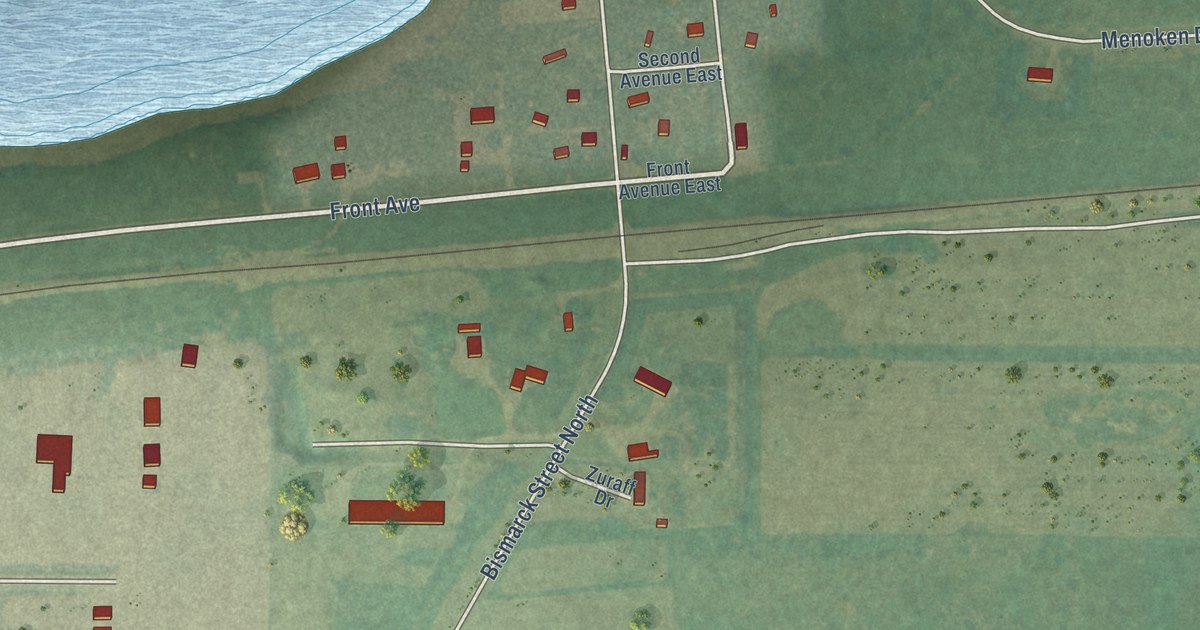
A detailed map of Menoken, North Dakota, showing every building in its true location, the roads by name, and shaded topographical relief.
Read More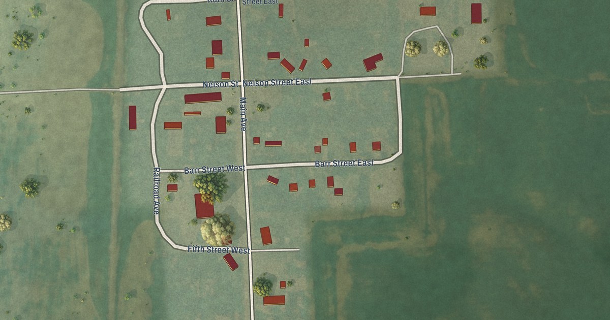
A detailed map of Erie, North Dakota, showing every building in its true location, the roads by name, and shaded topographical relief.
Read More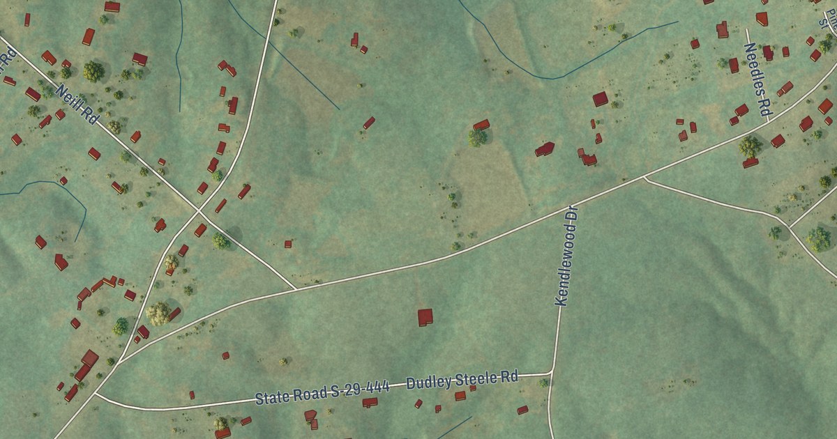
A detailed map of Unity, South Carolina, showing every building in its true location, the roads by name, and shaded topographical relief.
Read More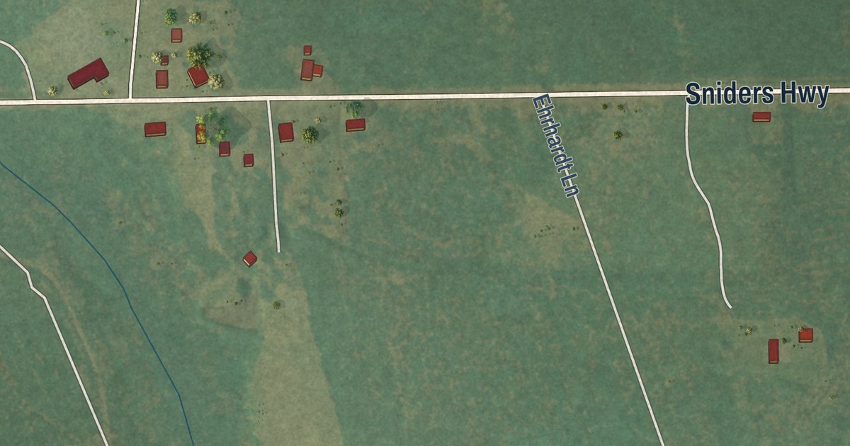
A detailed map of Islandton, South Carolina, showing every building in its true location, the roads by name, and shaded topographical relief.
Read More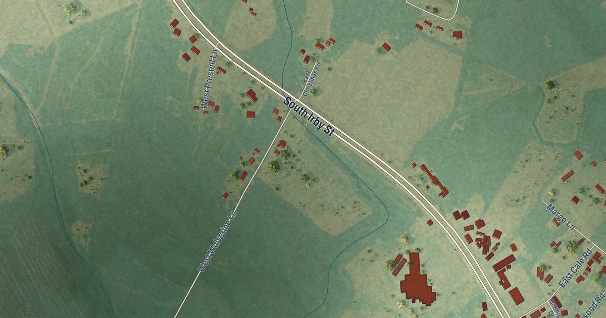
A detailed map of Danwood, South Carolina, showing every building in its true location, the roads by name, and shaded topographical relief.
Read More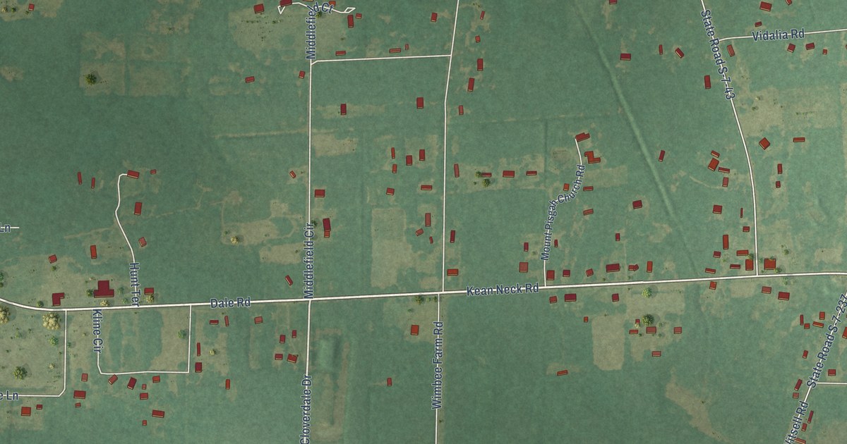
A detailed map of Dale, South Carolina, showing every building in its true location, the roads by name, and shaded topographical relief.
Read More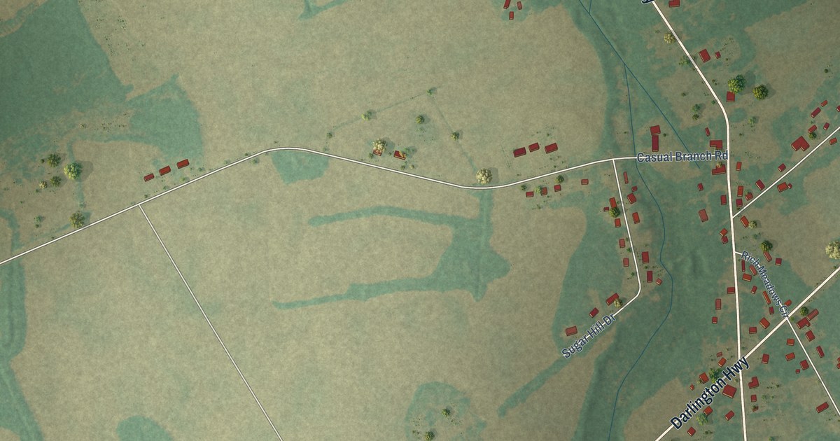
A detailed map of Elliott, South Carolina, showing every building in its true location, the roads by name, and shaded topographical relief.
Read More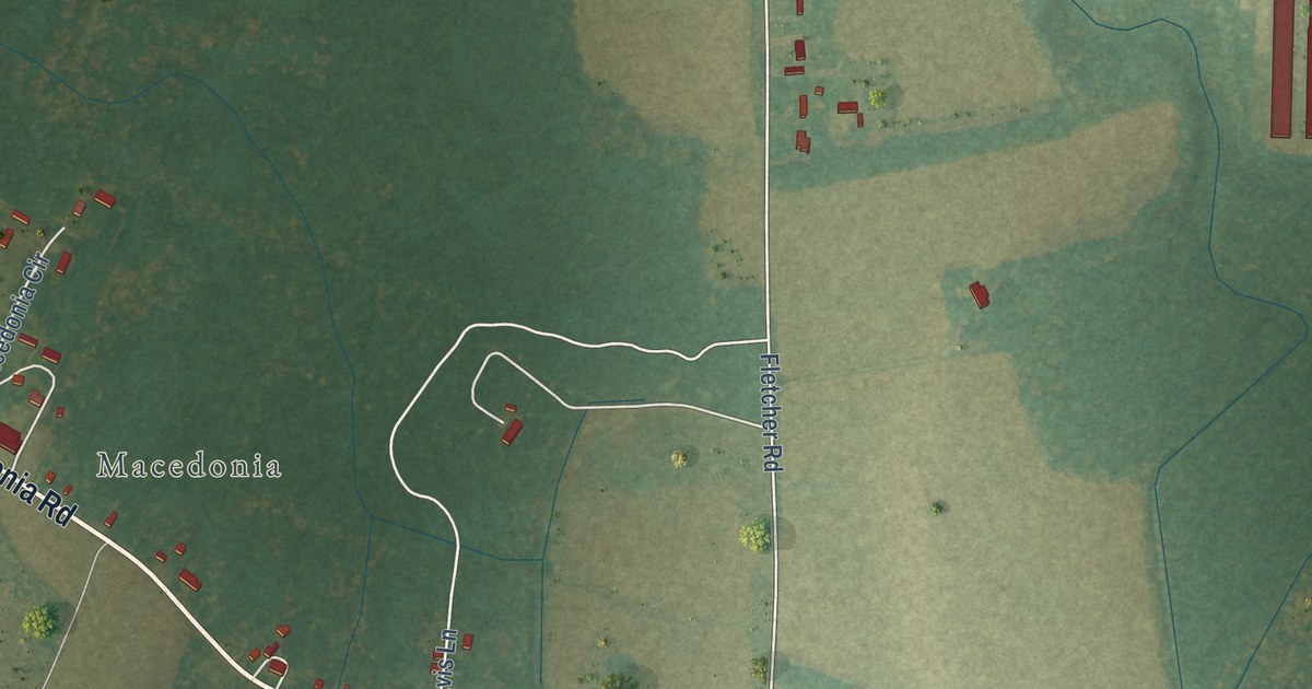
A detailed map of Nelsonia, Virginia, showing every building in its true location, the roads by name, and shaded topographical relief.
Read More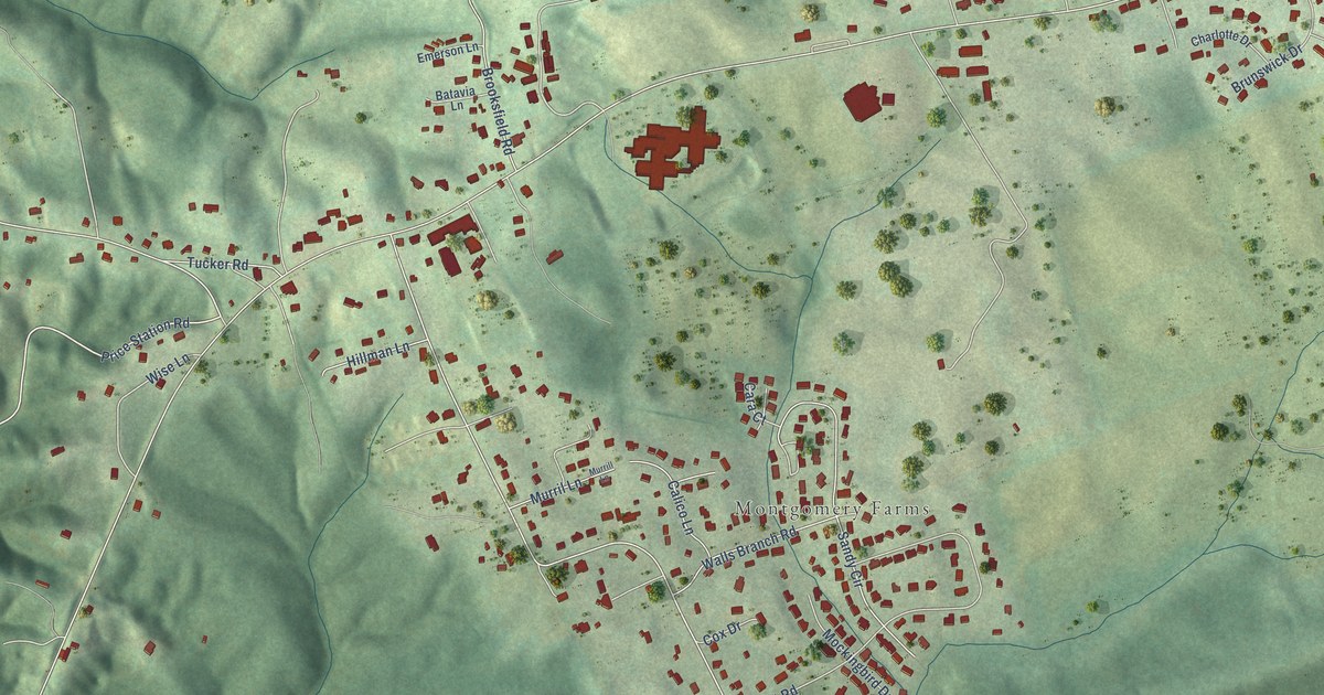
A detailed map of Prices Fork, Virginia, showing every building in its true location, the roads by name, and shaded topographical relief.
Read More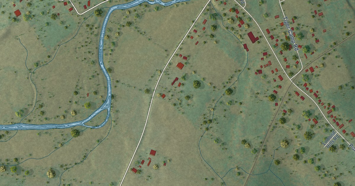
A detailed map of Port Republic, Virginia, showing every building in its true location, the roads by name, and shaded topographical relief.
Read More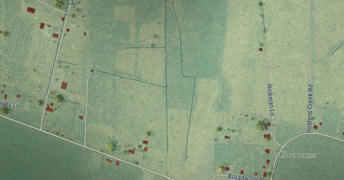
A detailed map of Sanford, Virginia, showing every building in its true location, the roads by name, and shaded topographical relief.
Read More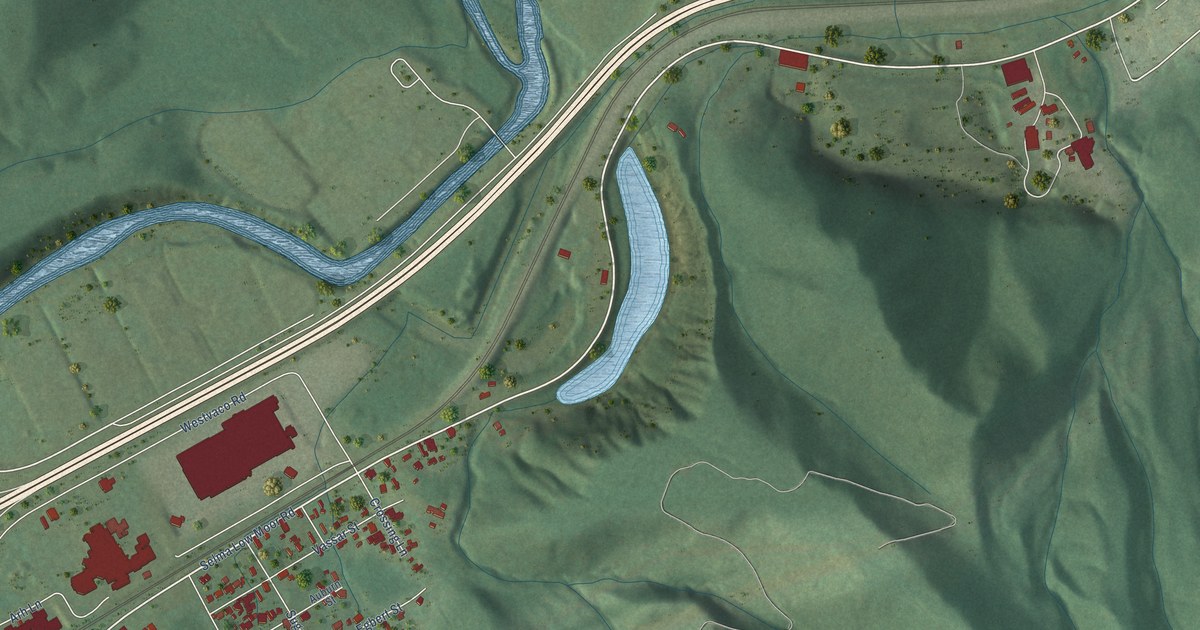
A detailed map of Low Moor, Virginia, showing every building in its true location, the roads by name, and shaded topographical relief.
Read More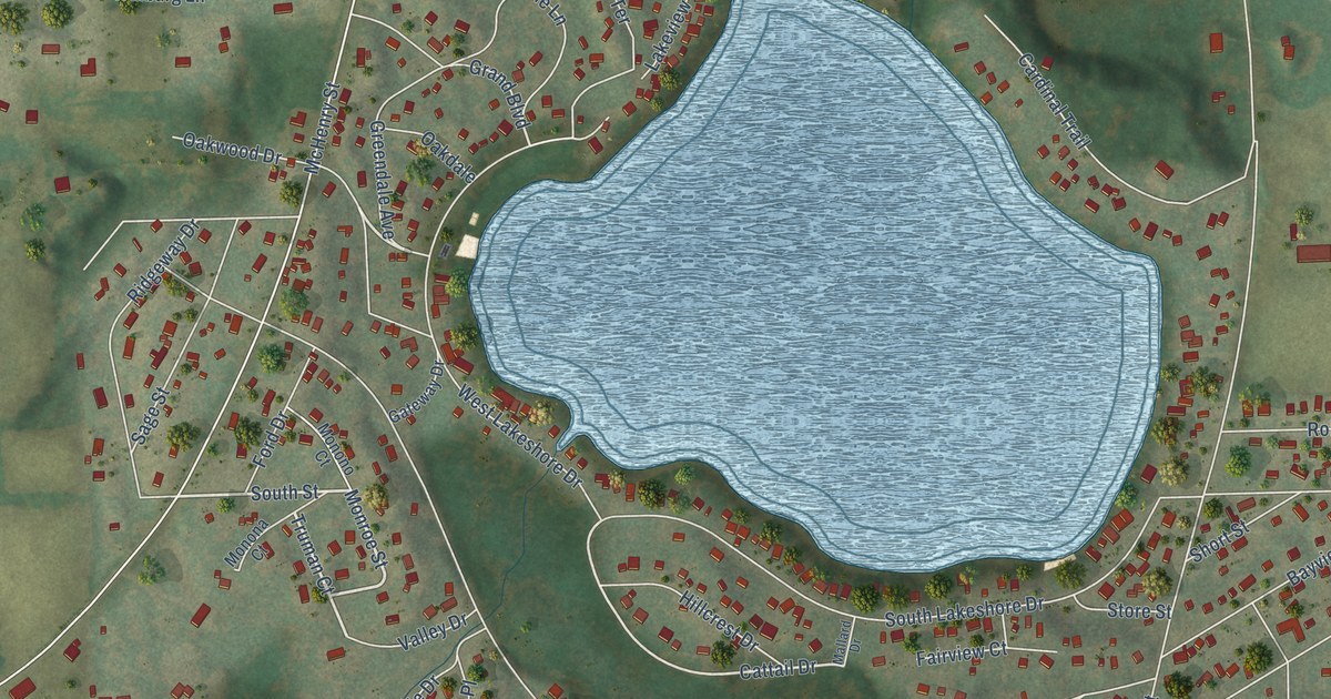
A detailed map of Bohners Lake, Wisconsin, showing every building in its true location, the roads by name, and shaded topographical relief.
Read More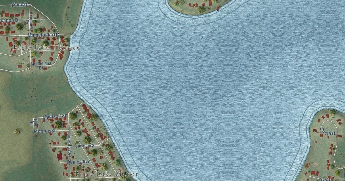
A detailed map of Eagle Lake, Wisconsin, showing every building in its true location, the roads by name, and shaded topographical relief.
Read More















