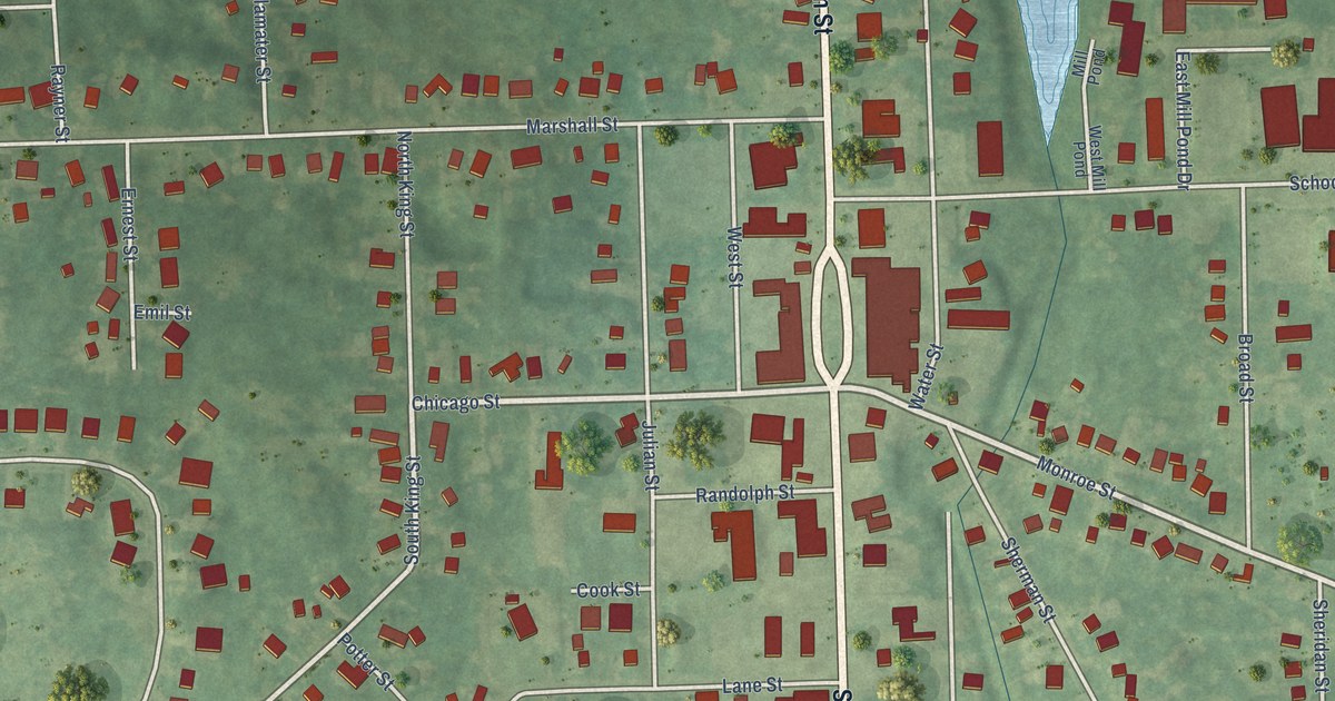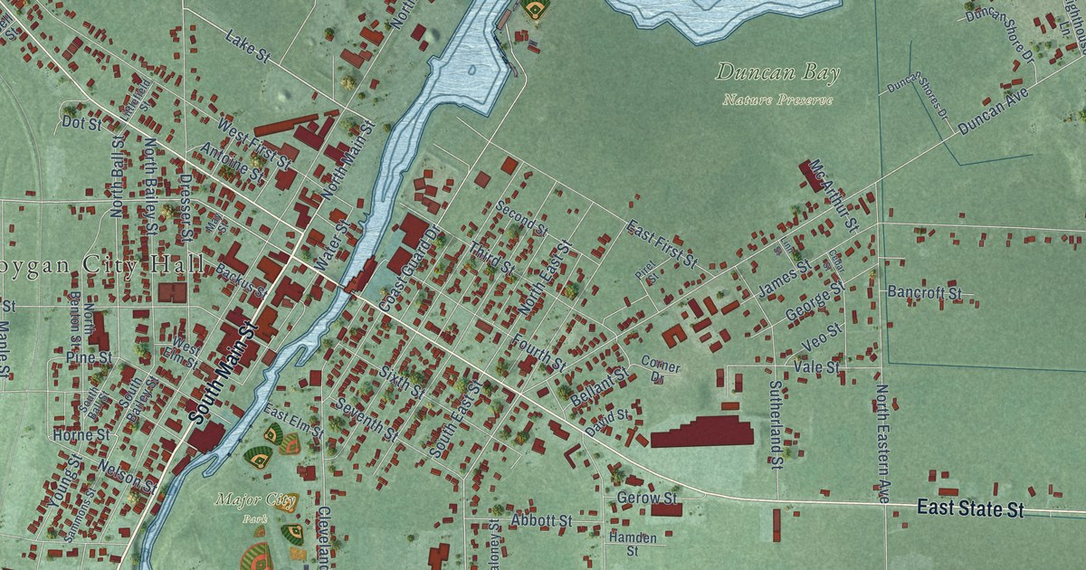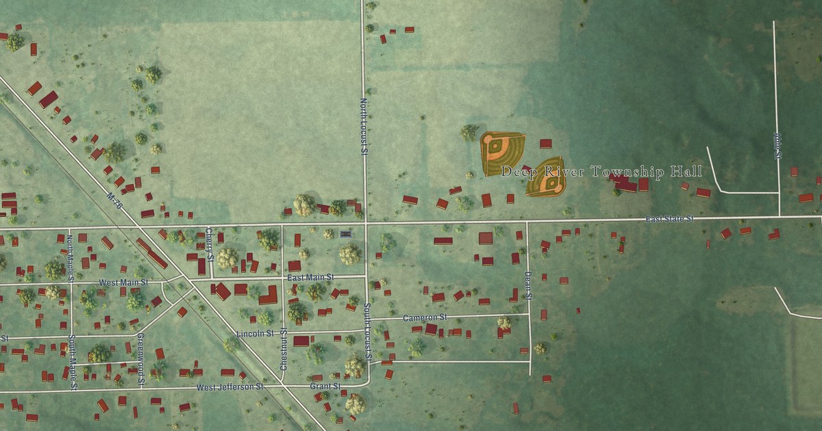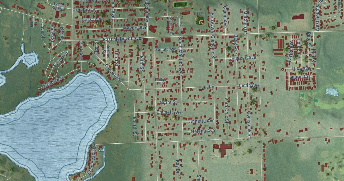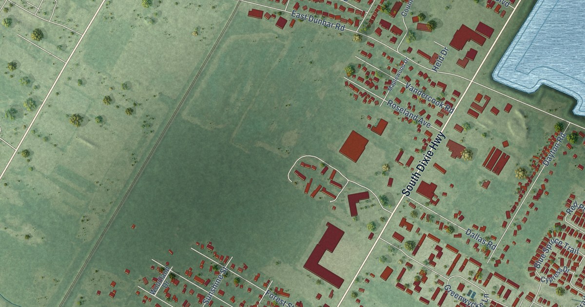
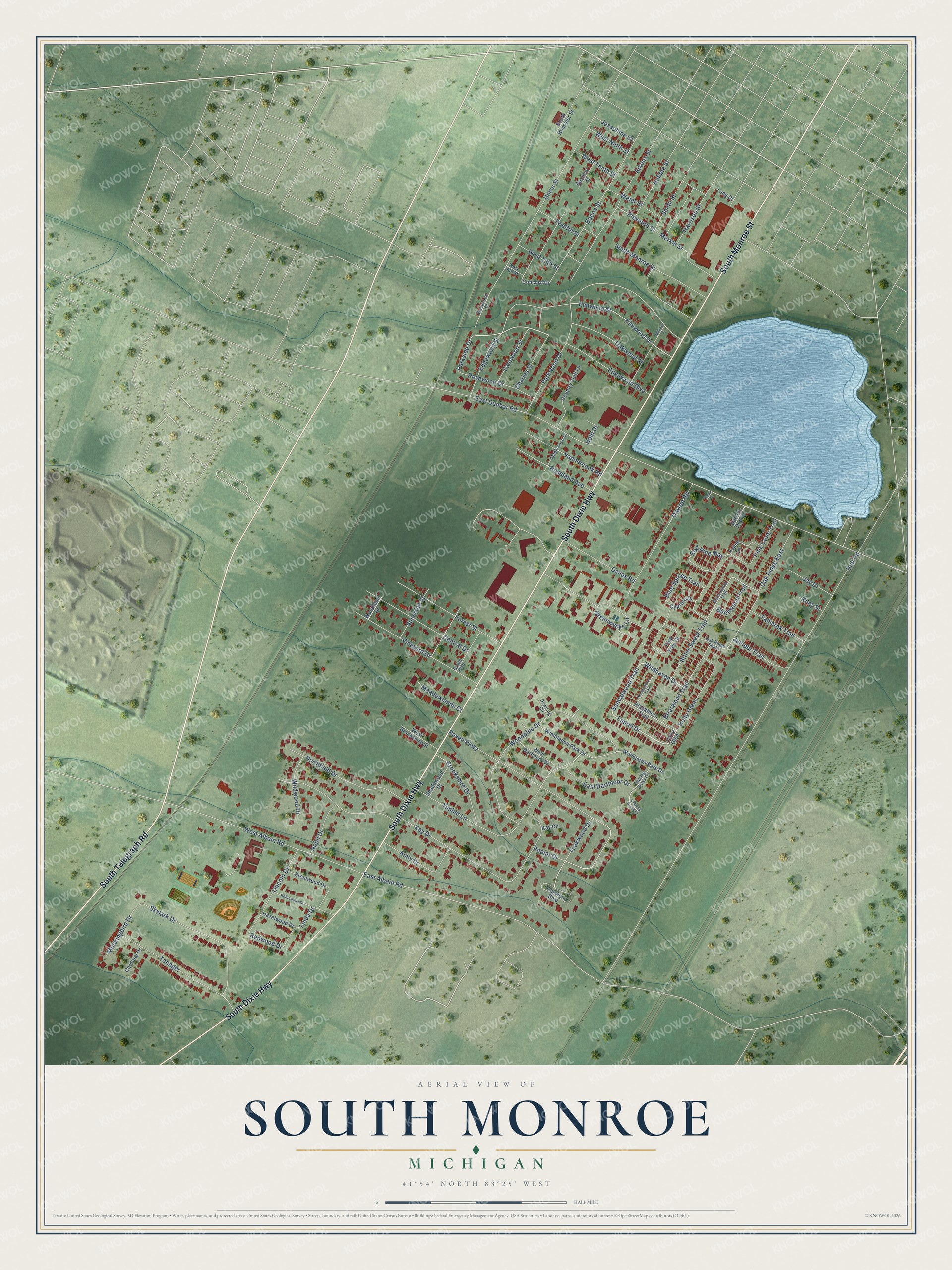
This beautifully detailed map of South Monroe, Michigan was created in 2026 using aerial imagery combined with modern topographical, census, street and landmark data. It's a modern aerial view of South Monroe in Monroe County, Michigan, that combines modern data with a vintage aesthetic. The roads feature printed names, and if you look closely you can find your exact house accurately shown in its correct location.
Explore an aerial view of South Monroe, Michigan
On this map you'll find South Dixie Highway, South Telegraph Road, South Monroe Street, Laurel Drive, Sandalwood Trail, Wildhaven Drive, Edgewood Boulevard, Eleventh Street, Redwood Drive, Hull Road, East Dunbar Road, Kay Drive, and more. Each red shape is a building, so zoom in on the preview and look for yours.
South Monroe is a community in Monroe County. The Census Bureau counted 6,468 people here in 2020. South Monroe sits about 2 miles southeast of West Monroe, 5 miles southwest of Detroit Beach and 6 miles north of Luna Pier. The map prints the town name in its title panel, with the coordinates below it.
Take a closer look at the South Monroe map
Names on this map
These names are printed on this map.
Streets and roads: South Dixie Highway, South Telegraph Road, South Monroe Street, Laurel Drive, Sandalwood Trail, Wildhaven Drive, Edgewood Boulevard, Eleventh Street, Redwood Drive, Hull Road, East Dunbar Road, Kay Drive.
More street names, A to Z
Adams Street, Aimy Drive, Aspen Lane, Bacon Street, Bashaw Street, Birchwood Trail, Bitter Sweet Trail, Bittersweet Trail, Blackthorn Trail, Blue Spruce Trail, Brentwood Drive, Briarwood Trail, Brookshire Drive, Cardinal Drive, Central Drive, Charing Cross Drive, Charing Cross Lane, Charles Street, Concord Drive, Country Club Lane, Cypress Drive, Daisey Dell Drive, Dallas Road, Dayton Road, Downing Circle, East Albain Road, East Dartmoor Drive, Eastwood Street, Edgewood Street, Elmwood Drive, Elmwood Street, Forest Street, Grand Boulevard, Greenwycke Lane, Harrison Street, Hazelwood Drive, Heatherwood Trail, Held Drive, Holly Glen, Holly Glenn, Hubble Street, Jay Drive, Josephine Court, Juniper Trail, Kay Circle, Kiley Street, Lincoln Drive, Linda Drive, Long Court, Maplewood Drive, Meadowlands Court, Merkle Street, Military Street, Mockingbird Drive, Nobil Drive, Northfield Drive, Oak Ridge East, Oak Ridge South, Oakwood Street, Pams Lane, Parkside Drive, Parkwood Drive, Pine Cone Trail, Pine Tree Court, Poplar Drive, Raven Parkway, Red Pine Way, Robinwood Drive, Roseland Avenue, Rosewood Drive, Shadowood Drive, Skylark Drive, Smith Street, South Roessler Street, Sunshine Street, Tamarak Trail, Tanager, Teakwood Boulevard, Teakwood Drive, Timber Lane, Twelfth Street, Union Street, Vandercook Road, Vineyard Drive, Weier Street, West 13th Street, West 14th Street, West Albain Road, West Brookshire Street, West Dartmoor Drive, West Ninth Street, West Tenth Street, Westwood Drive, Wildwood Drive, Wimbledon Park Drive, Wimbleton Park Drive, Woodland Drive, Woodpine Drive.
See it on a wall
The South Monroe map as a framed print. Swipe for more.


Created by KNOWOL in 2026. The buildings are small red shapes, the roads carry their printed names, and shaded relief shows the shape of the land. The title panel reads "AERIAL VIEW OF SOUTH MONROE, MICHIGAN" with 41°54' NORTH 83°25' WEST.
It suits a den, a classroom or a front hall, and it makes a gift for anyone with South Monroe roots. Open the preview and find the block you know. See sizes and frames for the South Monroe map.