Detailed Map of Pointe a la Hache, Louisiana
A detailed map of Pointe a la Hache, Louisiana, showing every building in its true location, the roads by name, and shaded topographical relief.
Read More
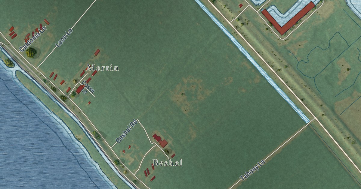
A detailed map of Pointe a la Hache, Louisiana, showing every building in its true location, the roads by name, and shaded topographical relief.
Read More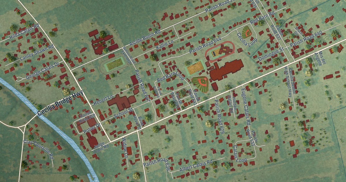
A detailed map of Cecilia, Louisiana, showing every building in its true location, the roads by name, and shaded topographical relief.
Read More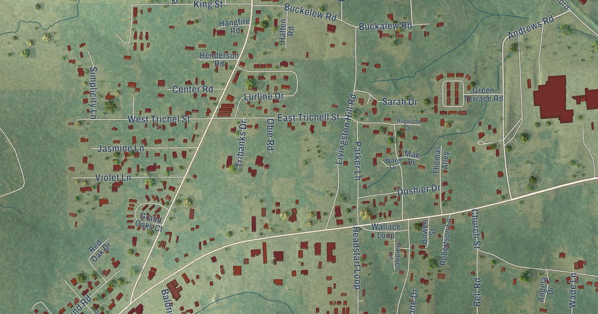
A detailed map of Midway, Louisiana, showing every building in its true location, the roads by name, and shaded topographical relief.
Read More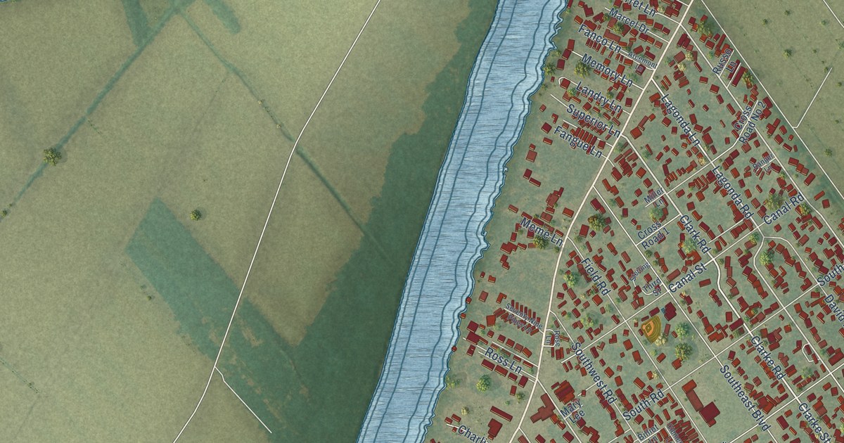
A detailed map of Bayou Vista, Louisiana, showing every building in its true location, the roads by name, and shaded topographical relief.
Read More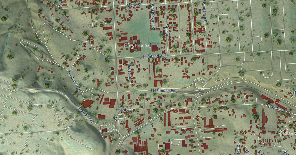
A detailed map of West Clarkston-Highland, Washington, showing every building in its true location, the roads by name, and shaded topographical relief.
Read More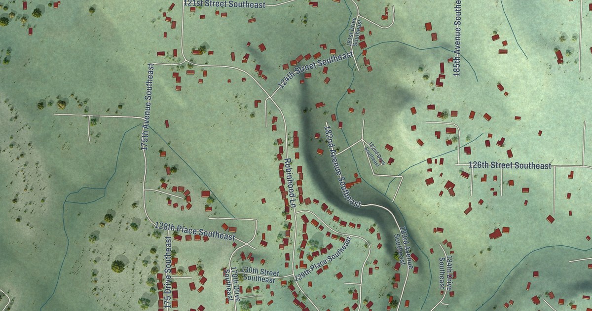
A detailed map of Monroe North, Washington, showing every building in its true location, the roads by name, and shaded topographical relief.
Read More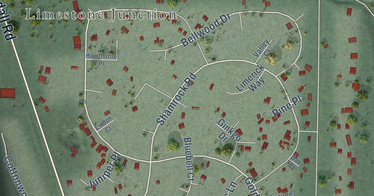
A detailed map of Peaceful Valley, Washington, showing every building in its true location, the roads by name, and shaded topographical relief.
Read More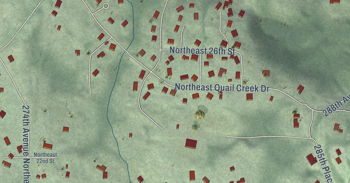
A detailed map of Ames Lake, Washington, showing every building in its true location, the roads by name, and shaded topographical relief.
Read More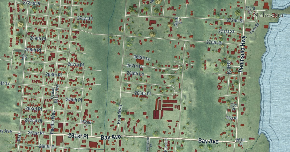
A detailed map of Ocean Park, Washington, showing every building in its true location, the roads by name, and shaded topographical relief.
Read More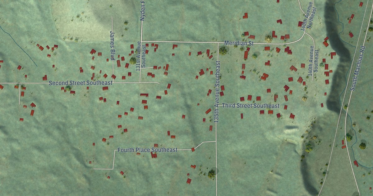
A detailed map of Machias, Washington, showing every building in its true location, the roads by name, and shaded topographical relief.
Read More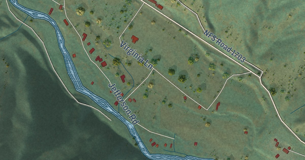
A detailed map of Cliffdell, Washington, showing every building in its true location, the roads by name, and shaded topographical relief.
Read More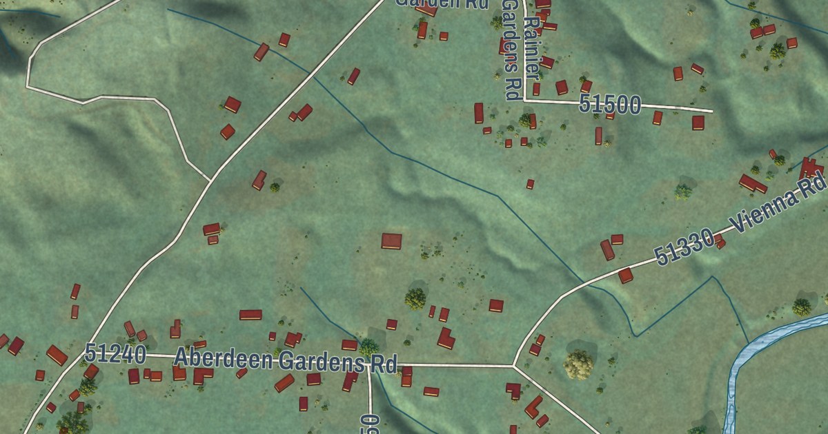
A detailed map of Aberdeen Gardens, Washington, showing every building in its true location, the roads by name, and shaded topographical relief.
Read More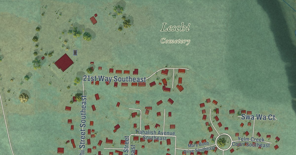
A detailed map of Nisqually Indian Community, Washington, showing every building in its true location, the roads by name, and shaded topographical relief.
Read More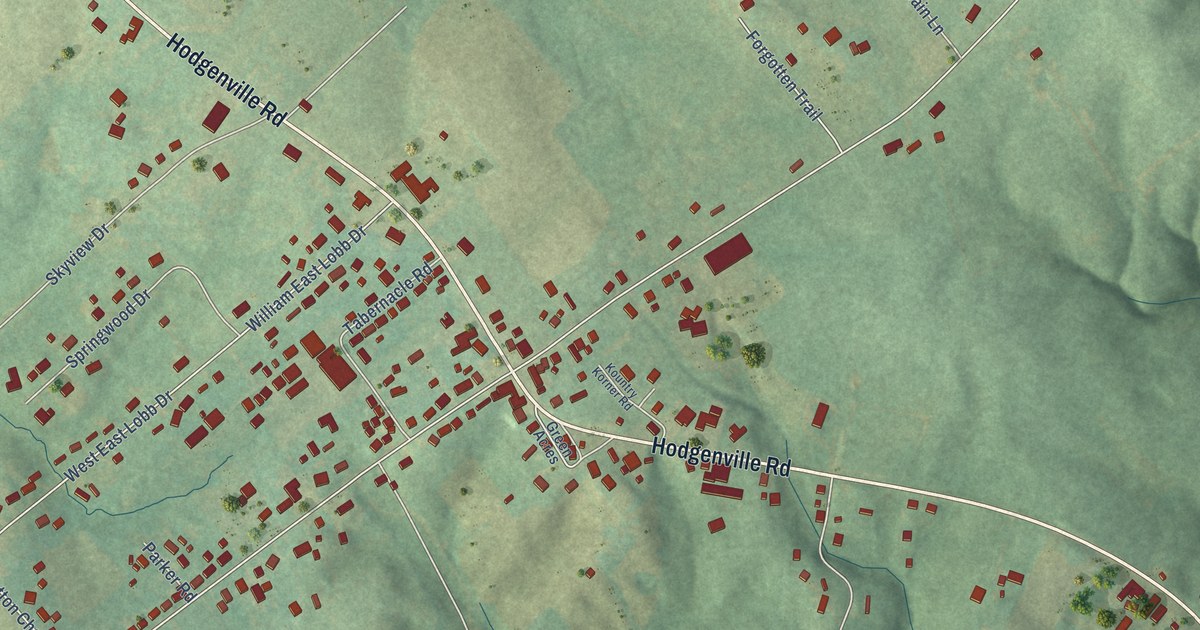
A detailed map of Summersville, Kentucky, showing every building in its true location, the roads by name, and shaded topographical relief.
Read More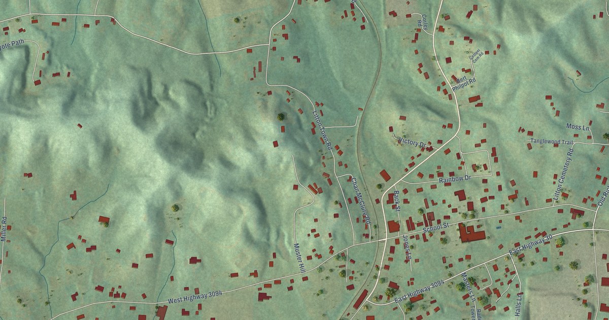
A detailed map of East Bernstadt, Kentucky, showing every building in its true location, the roads by name, and shaded topographical relief.
Read More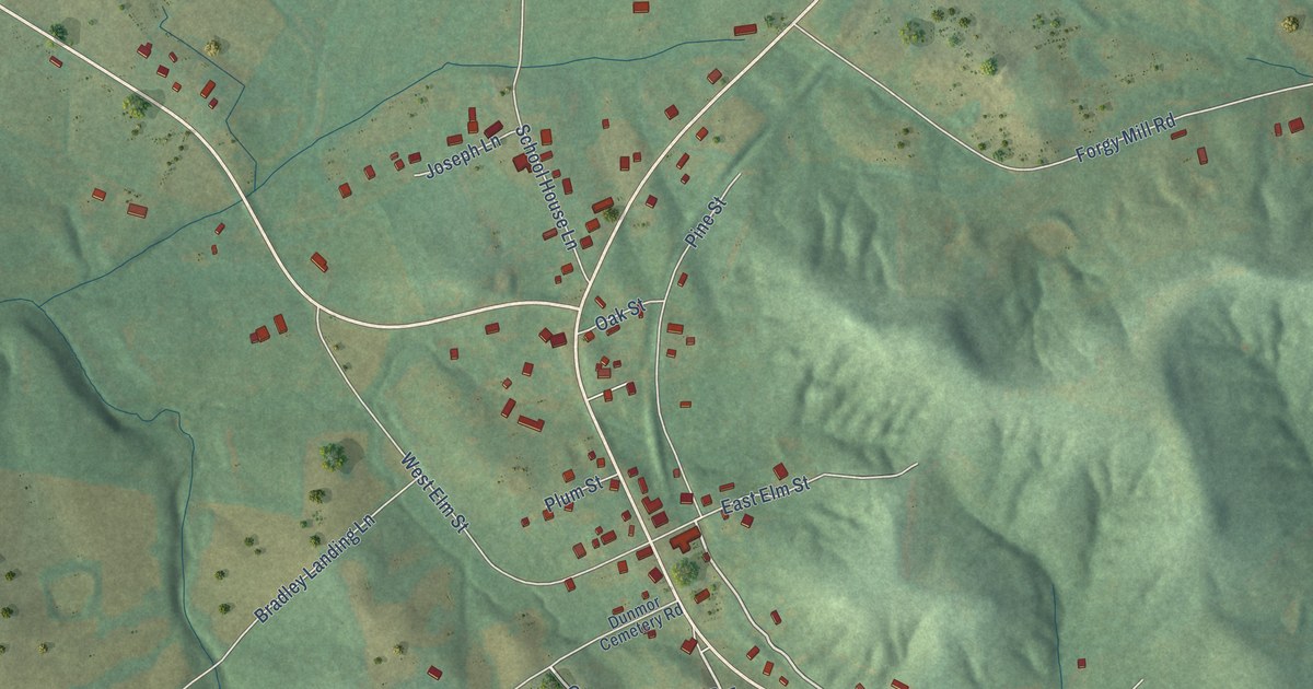
A detailed map of Dunmor, Kentucky, showing every building in its true location, the roads by name, and shaded topographical relief.
Read More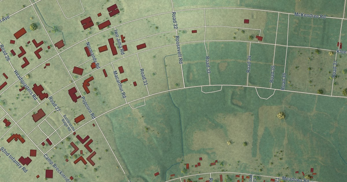
A detailed map of Breckinridge Center, Kentucky, showing every building in its true location, the roads by name, and shaded topographical relief.
Read More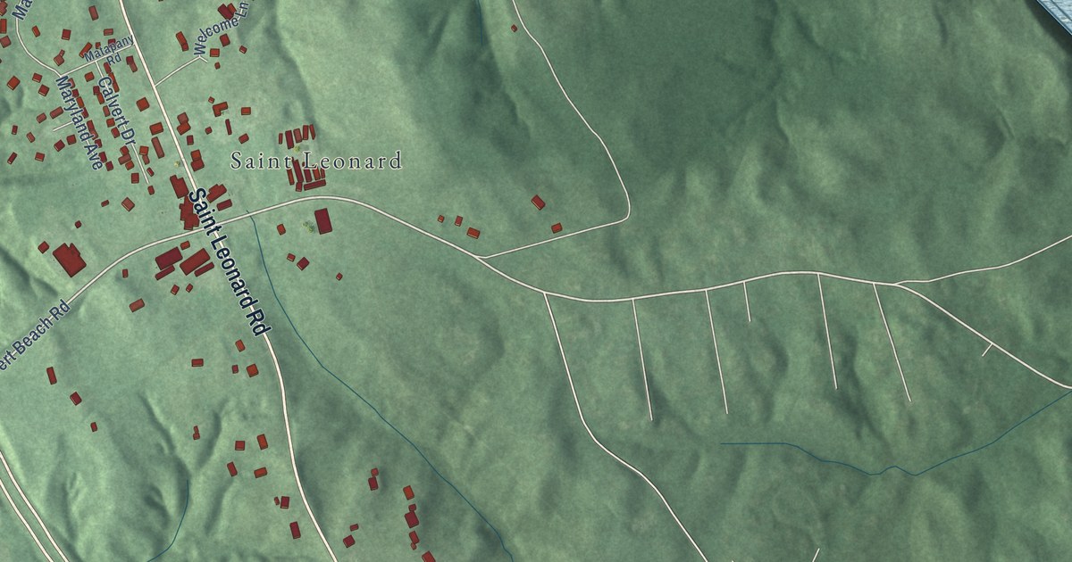
A detailed map of St. Leonard, Maryland, showing every building in its true location, the roads by name, and shaded topographical relief.
Read More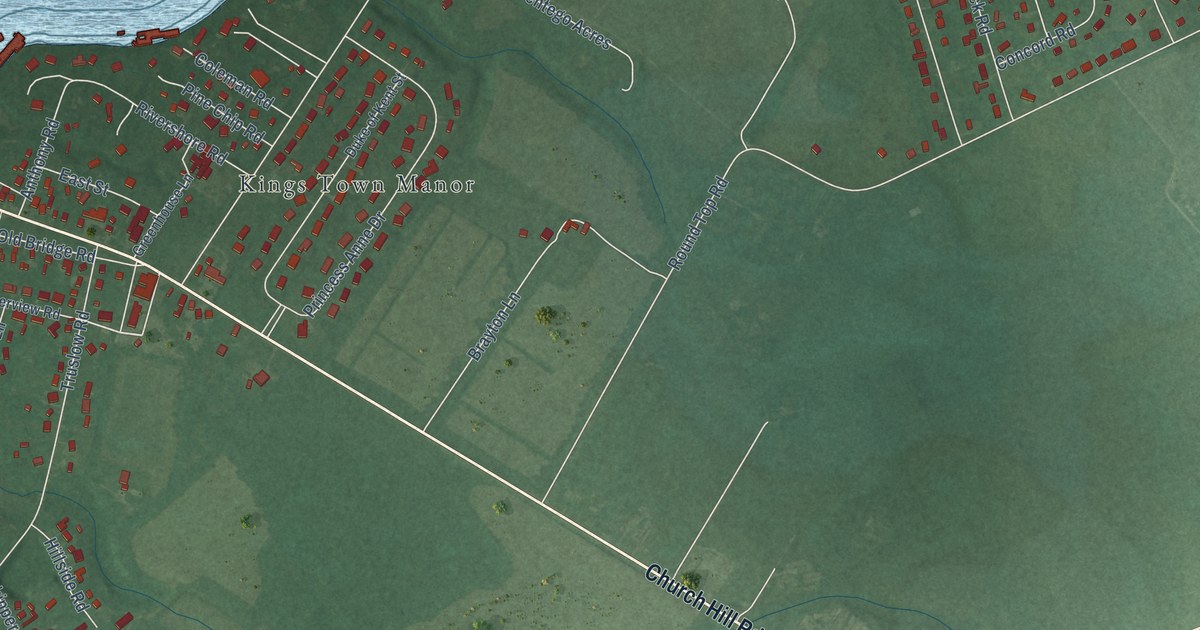
A detailed map of Kingstown, Maryland, showing every building in its true location, the roads by name, and shaded topographical relief.
Read More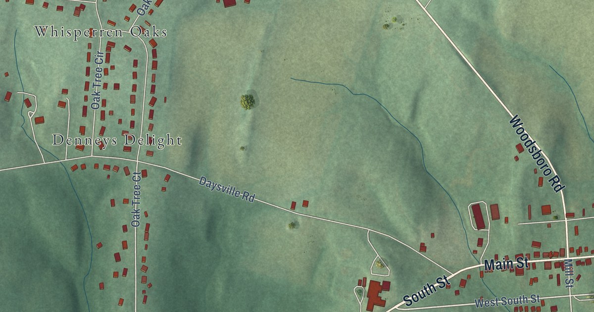
A detailed map of Libertytown, Maryland, showing every building in its true location, the roads by name, and shaded topographical relief.
Read More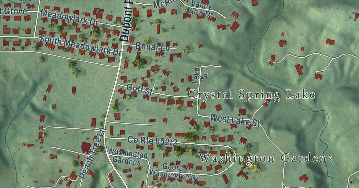
A detailed map of Washington, West Virginia, showing every building in its true location, the roads by name, and shaded topographical relief.
Read More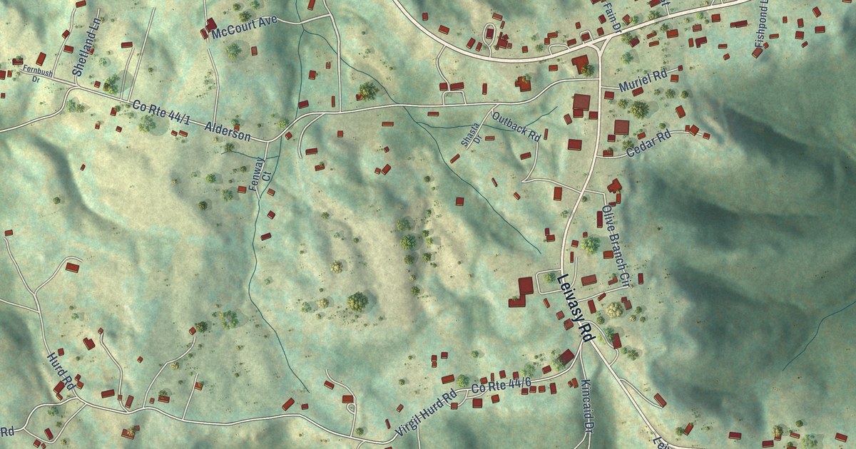
A detailed map of Nettie, West Virginia, showing every building in its true location, the roads by name, and shaded topographical relief.
Read More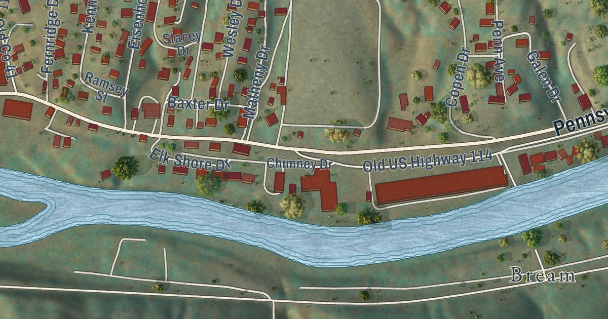
A detailed map of Big Chimney, West Virginia, showing every building in its true location, the roads by name, and shaded topographical relief.
Read More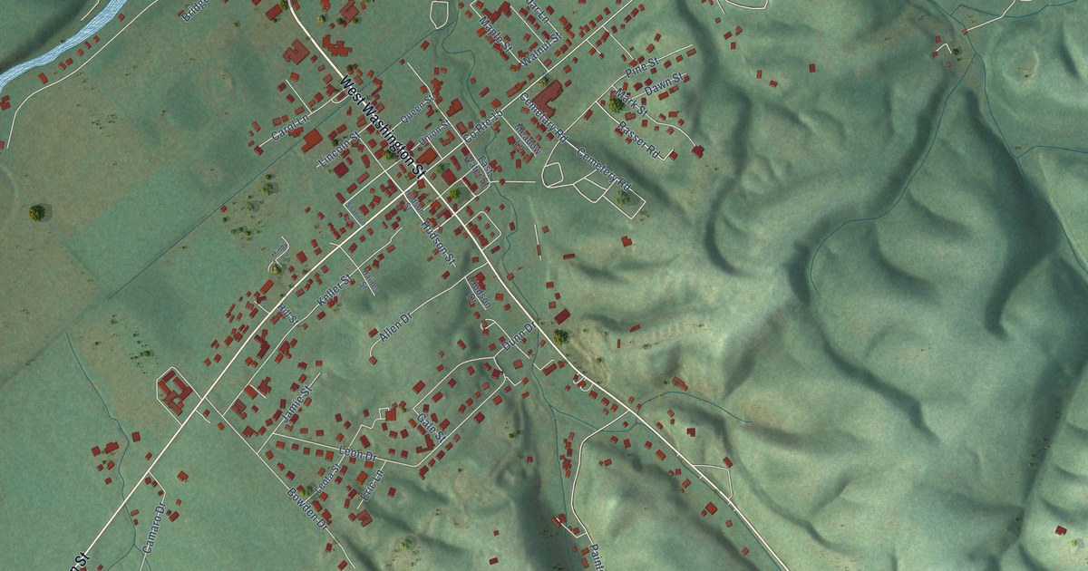
A detailed map of Fort Ashby, West Virginia, showing every building in its true location, the roads by name, and shaded topographical relief.
Read More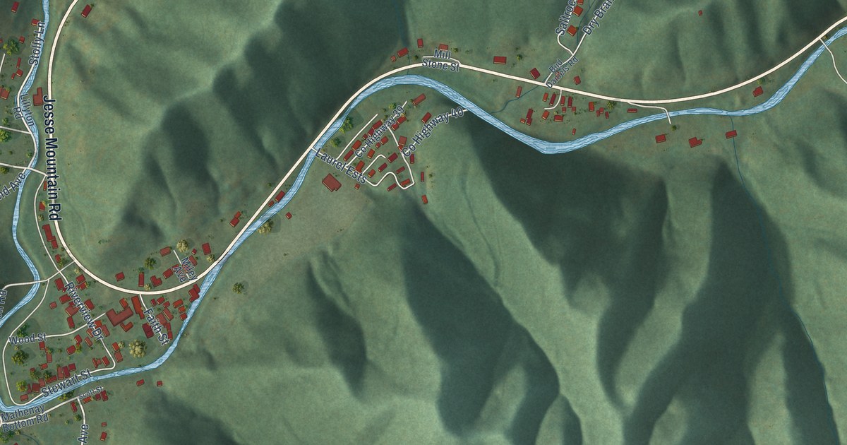
A detailed map of Matheny, West Virginia, showing every building in its true location, the roads by name, and shaded topographical relief.
Read More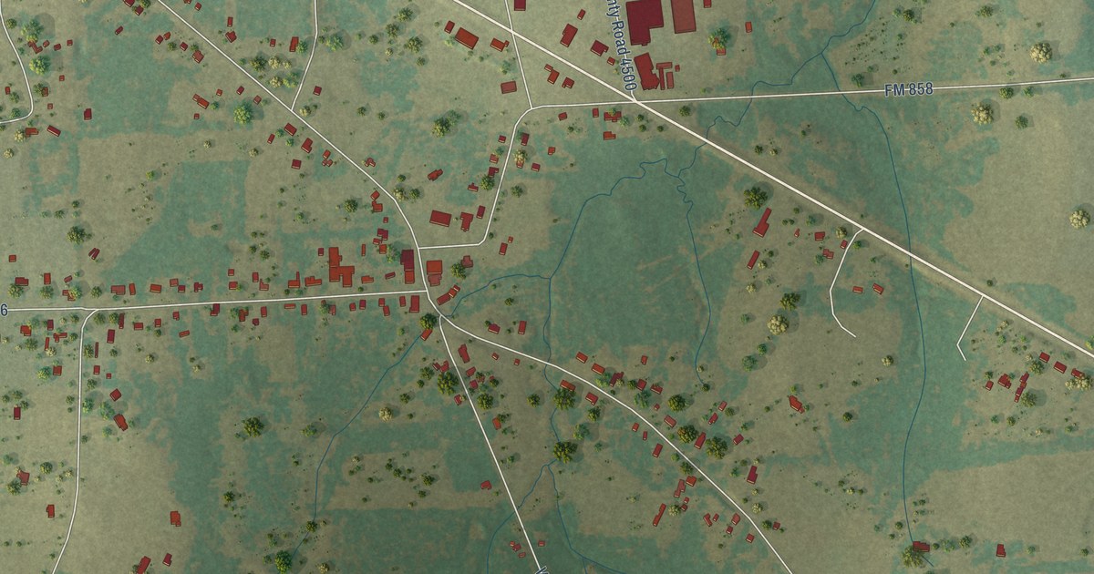
A detailed map of Ben Wheeler, Texas, showing every building in its true location, the roads by name, and shaded topographical relief.
Read More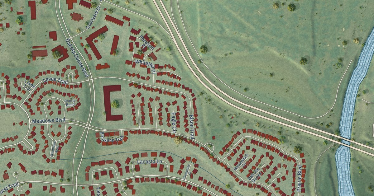
A detailed map of Dakota Dunes, South Dakota, showing every building in its true location, the roads by name, and shaded topographical relief.
Read More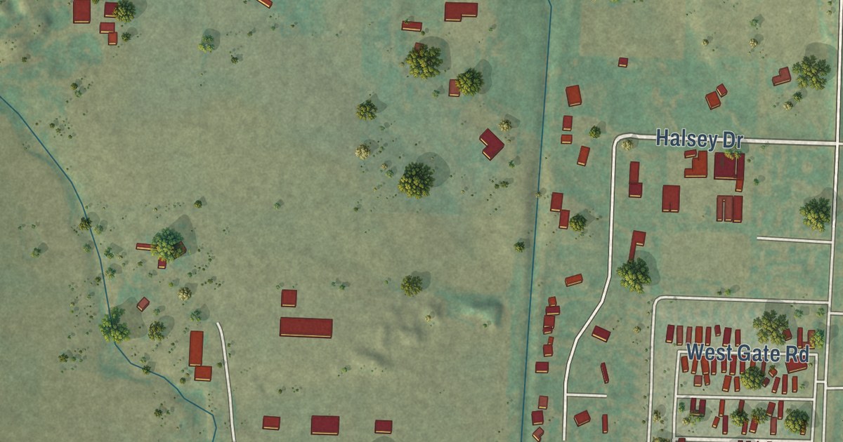
A detailed map of Ashland Heights, South Dakota, showing every building in its true location, the roads by name, and shaded topographical relief.
Read More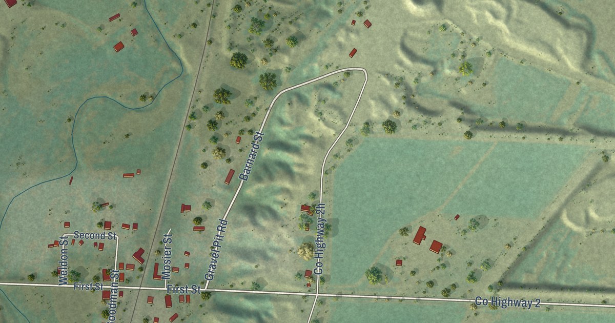
A detailed map of Oral, South Dakota, showing every building in its true location, the roads by name, and shaded topographical relief.
Read More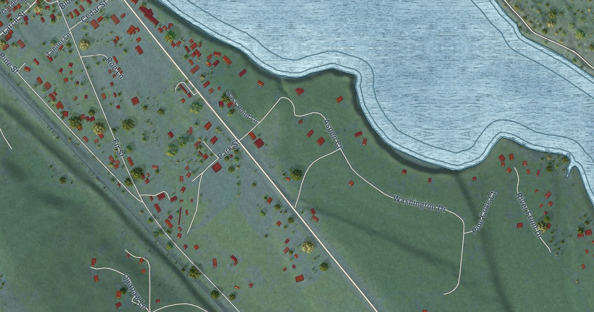
A detailed map of Trout Creek, Montana, showing every building in its true location, the roads by name, and shaded topographical relief.
Read More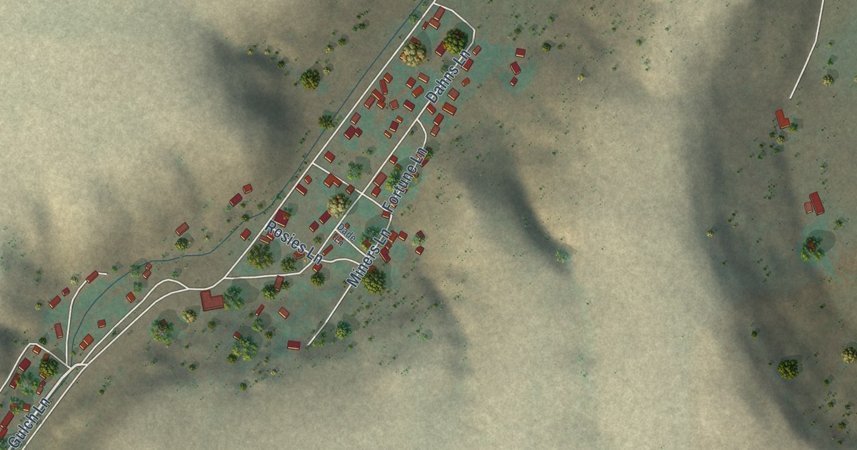
A detailed map of Sand Coulee, Montana, showing every building in its true location, the roads by name, and shaded topographical relief.
Read More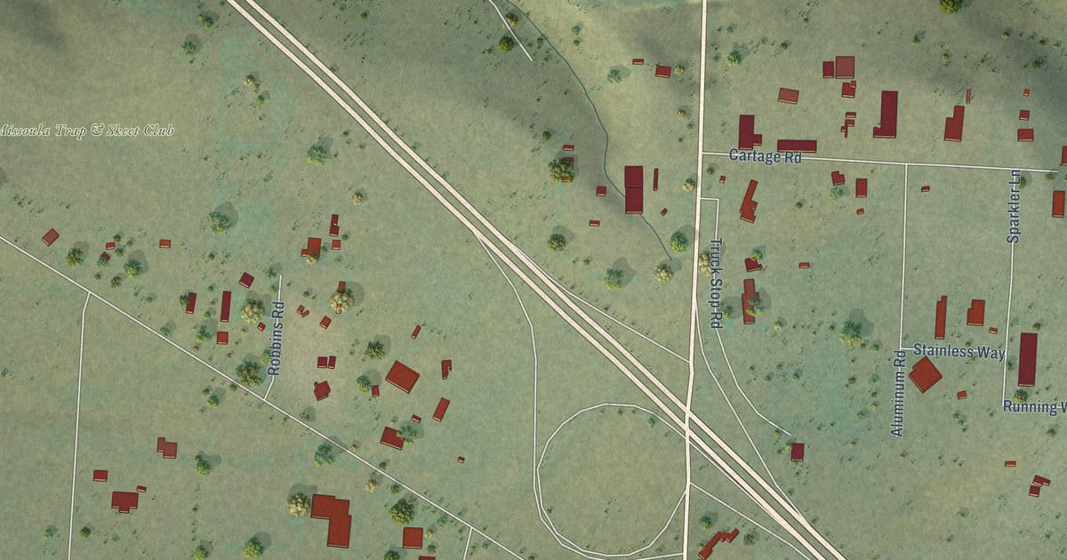
A detailed map of Wye, Montana, showing every building in its true location, the roads by name, and shaded topographical relief.
Read More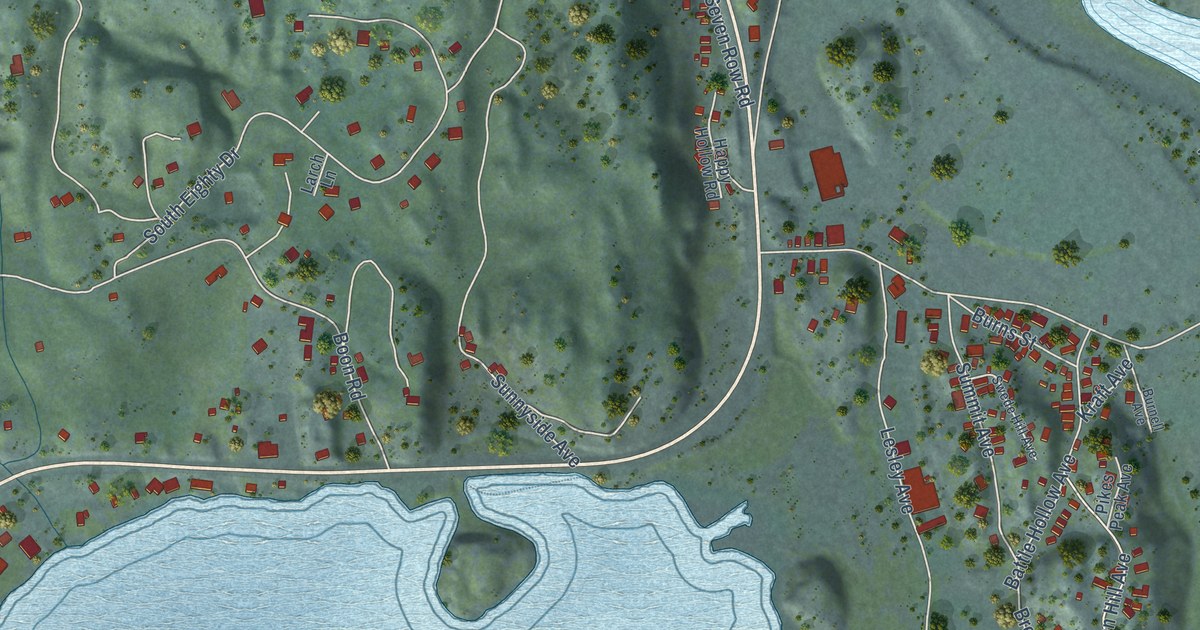
A detailed map of Somers, Montana, showing every building in its true location, the roads by name, and shaded topographical relief.
Read More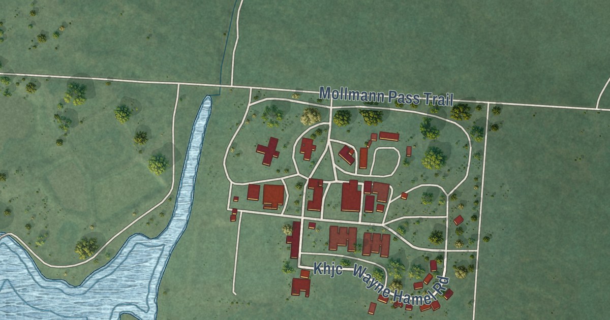
A detailed map of Kicking Horse, Montana, showing every building in its true location, the roads by name, and shaded topographical relief.
Read More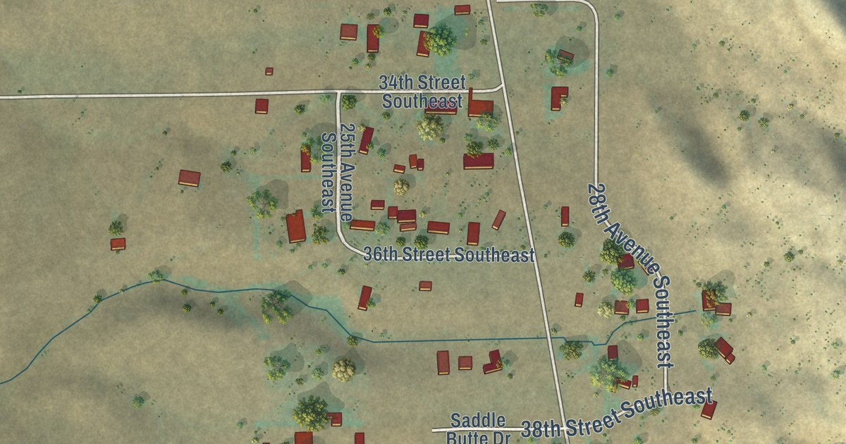
A detailed map of Saddle Butte, Montana, showing every building in its true location, the roads by name, and shaded topographical relief.
Read More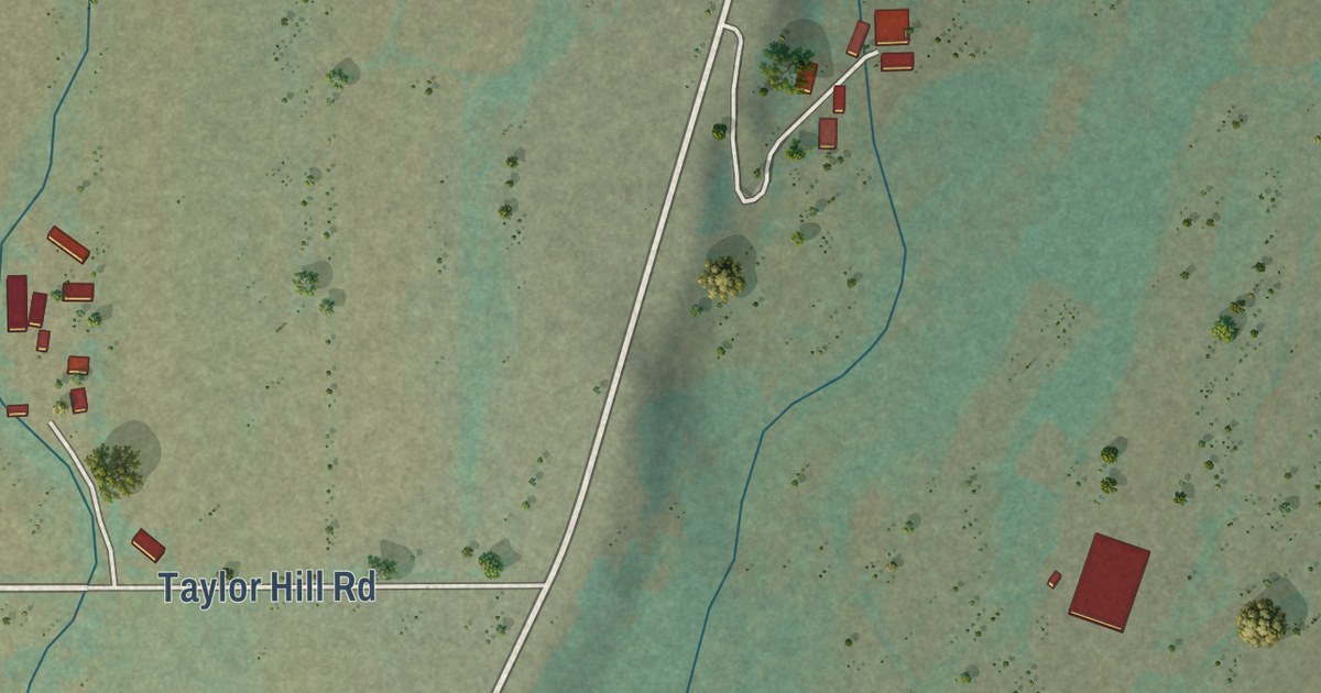
A detailed map of Fox, Montana, showing every building in its true location, the roads by name, and shaded topographical relief.
Read More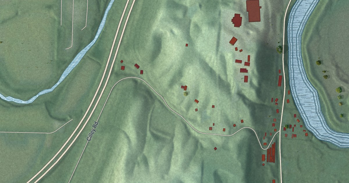
A detailed map of Hooven, Ohio, showing every building in its true location, the roads by name, and shaded topographical relief.
Read More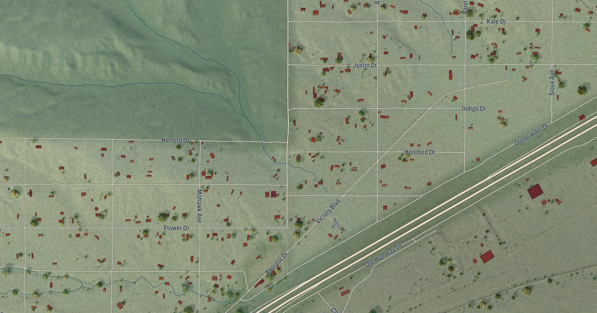
A detailed map of Osino, Nevada, showing every building in its true location, the roads by name, and shaded topographical relief.
Read More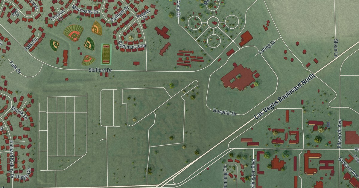
A detailed map of Nellis AFB, Nevada, showing every building in its true location, the roads by name, and shaded topographical relief.
Read More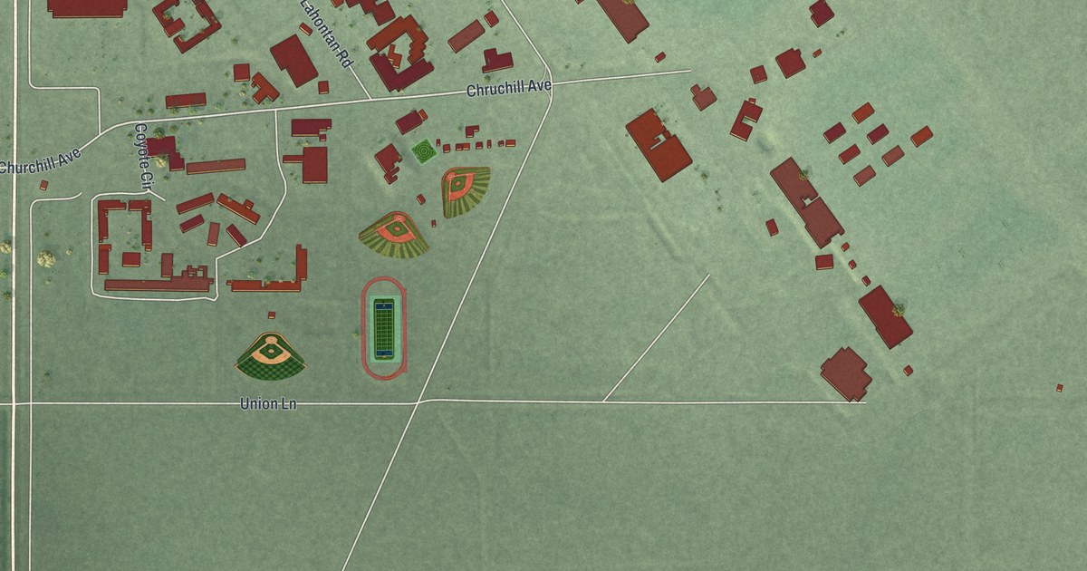
A detailed map of Fallon Station, Nevada, showing every building in its true location, the roads by name, and shaded topographical relief.
Read More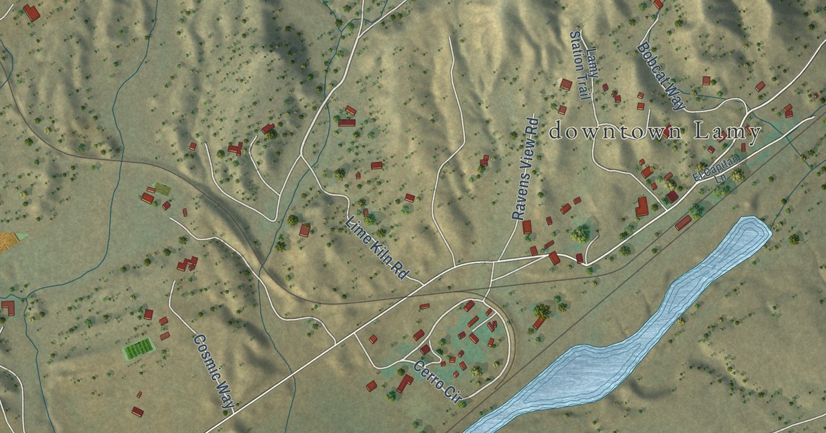
A detailed map of Lamy, New Mexico, showing every building in its true location, the roads by name, and shaded topographical relief.
Read More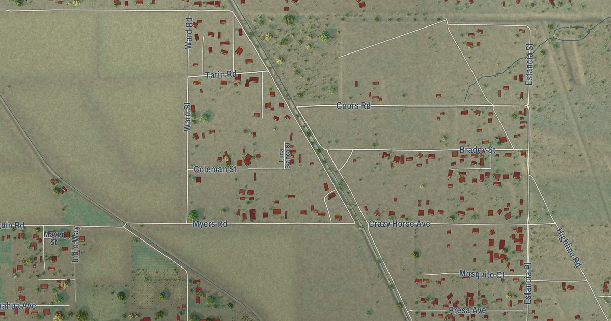
A detailed map of Vado, New Mexico, showing every building in its true location, the roads by name, and shaded topographical relief.
Read More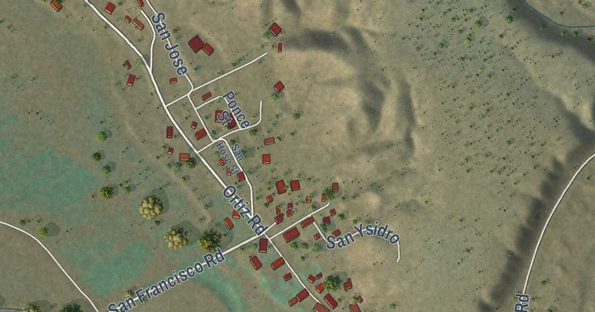
A detailed map of San Lorenzo, New Mexico, showing every building in its true location, the roads by name, and shaded topographical relief.
Read More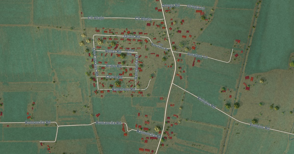
A detailed map of Adelino, New Mexico, showing every building in its true location, the roads by name, and shaded topographical relief.
Read More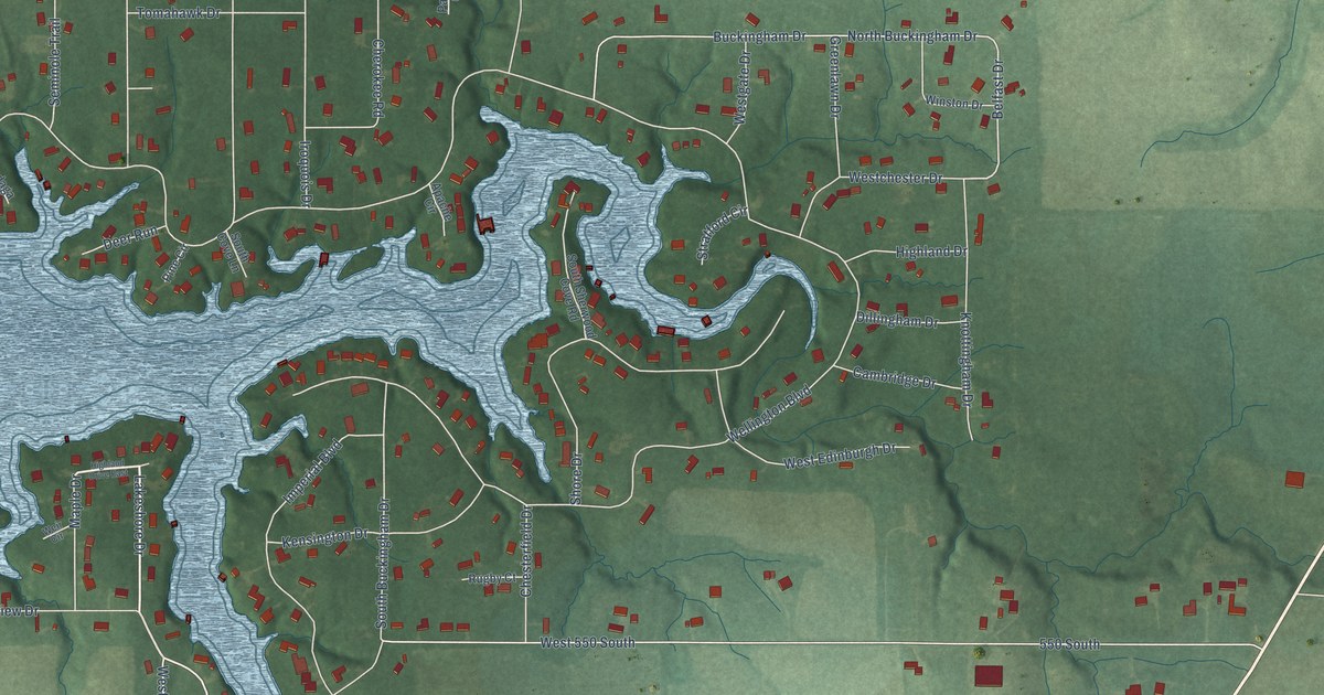
A detailed map of Lake Holiday, Indiana, showing every building in its true location, the roads by name, and shaded topographical relief.
Read More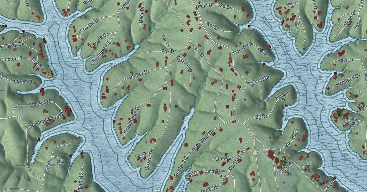
A detailed map of Cordry Sweetwater Lakes, Indiana, showing every building in its true location, the roads by name, and shaded topographical relief.
Read More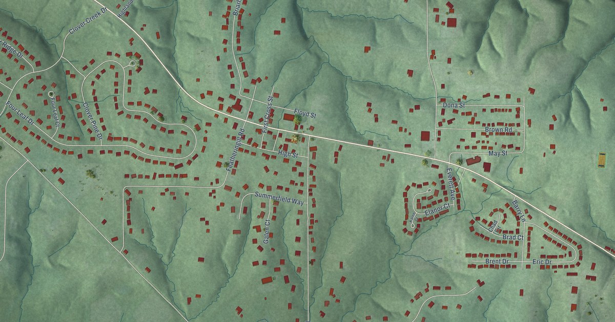
A detailed map of Galena, Indiana, showing every building in its true location, the roads by name, and shaded topographical relief.
Read More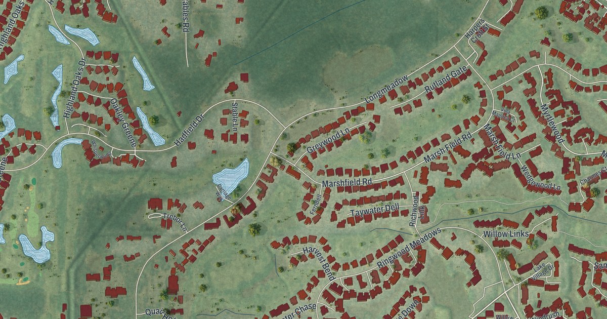
A detailed map of The Meadows, Florida, showing every building in its true location, the roads by name, and shaded topographical relief.
Read More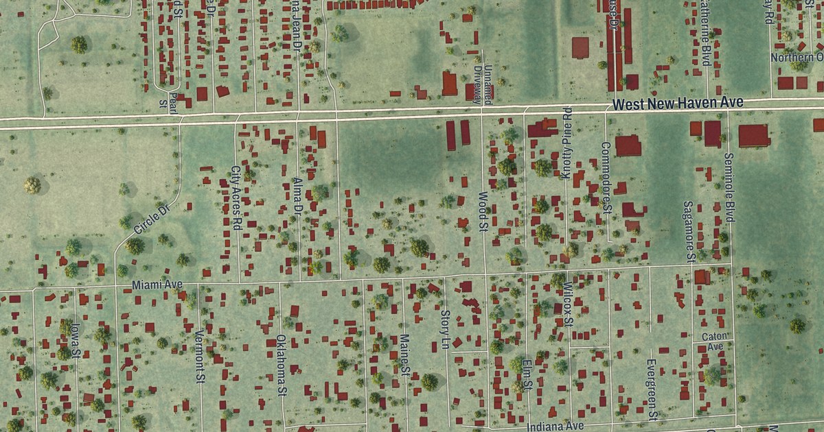
A detailed map of June Park, Florida, showing every building in its true location, the roads by name, and shaded topographical relief.
Read More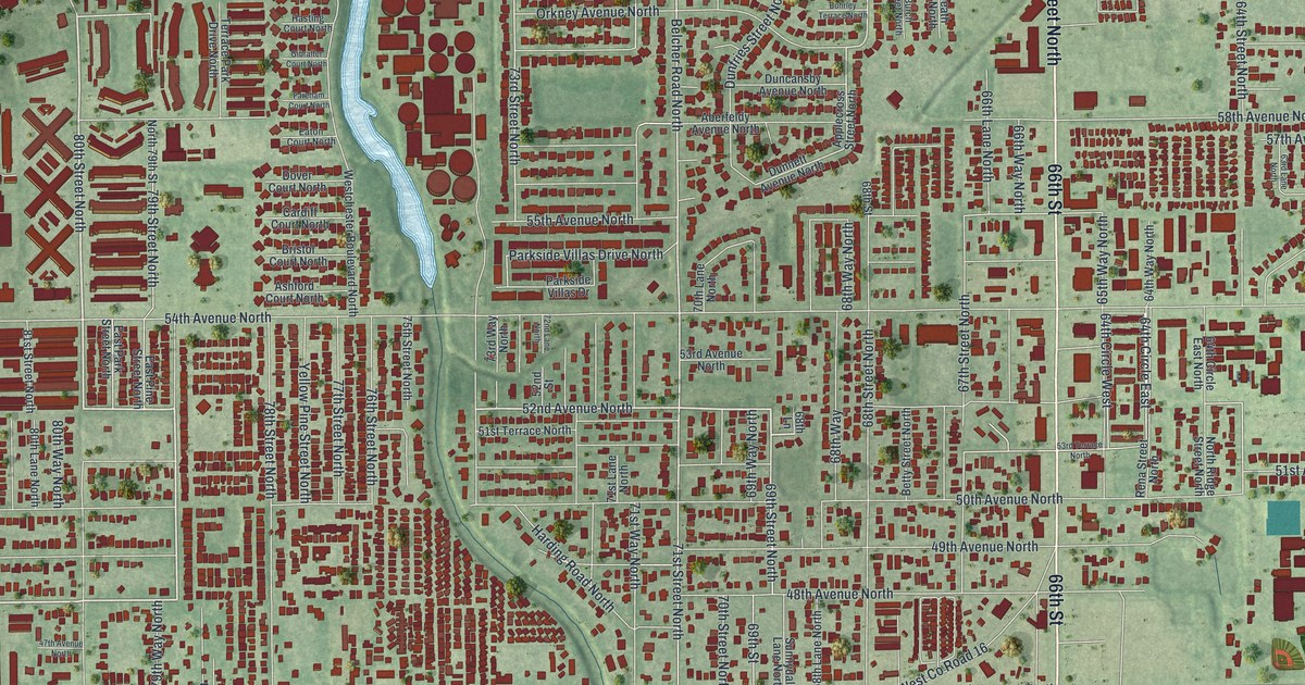
A detailed map of West Lealman, Florida, showing every building in its true location, the roads by name, and shaded topographical relief.
Read More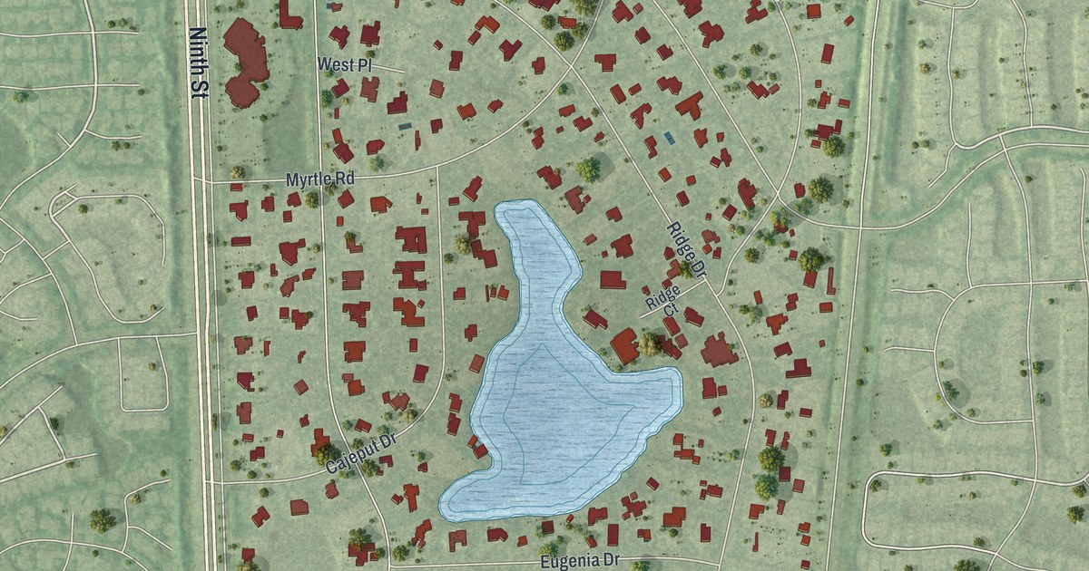
A detailed map of Pine Ridge, Florida, showing every building in its true location, the roads by name, and shaded topographical relief.
Read More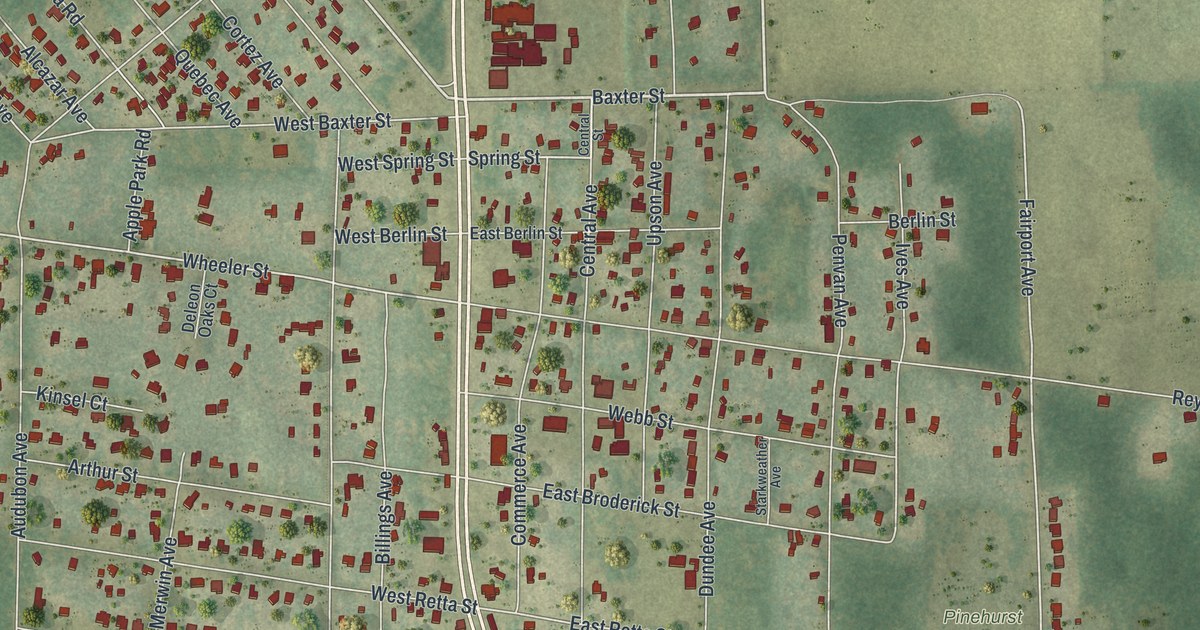
A detailed map of De Leon Springs, Florida, showing every building in its true location, the roads by name, and shaded topographical relief.
Read More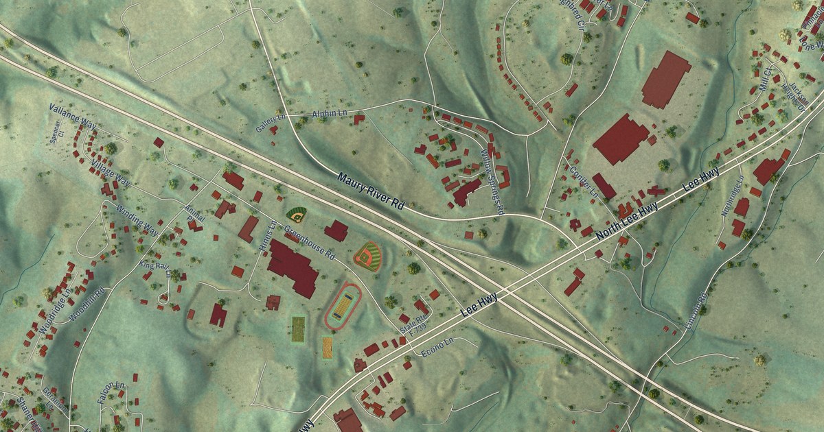
A detailed map of East Lexington, Virginia, showing every building in its true location, the roads by name, and shaded topographical relief.
Read More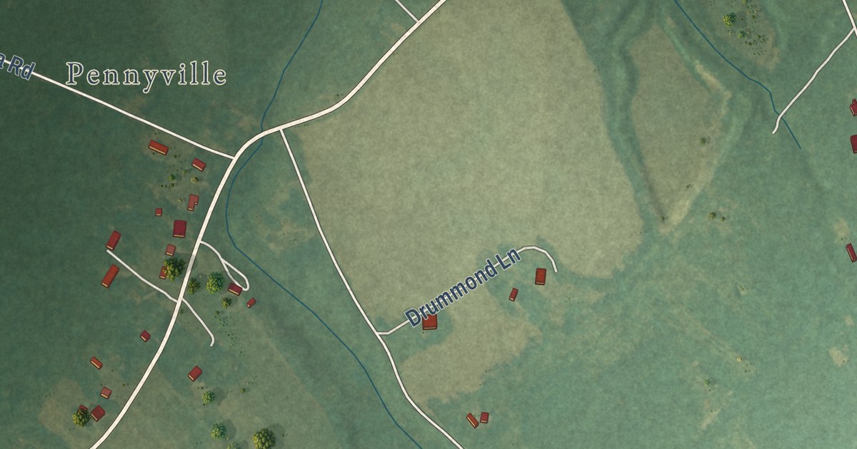
A detailed map of Boston, Virginia, showing every building in its true location, the roads by name, and shaded topographical relief.
Read More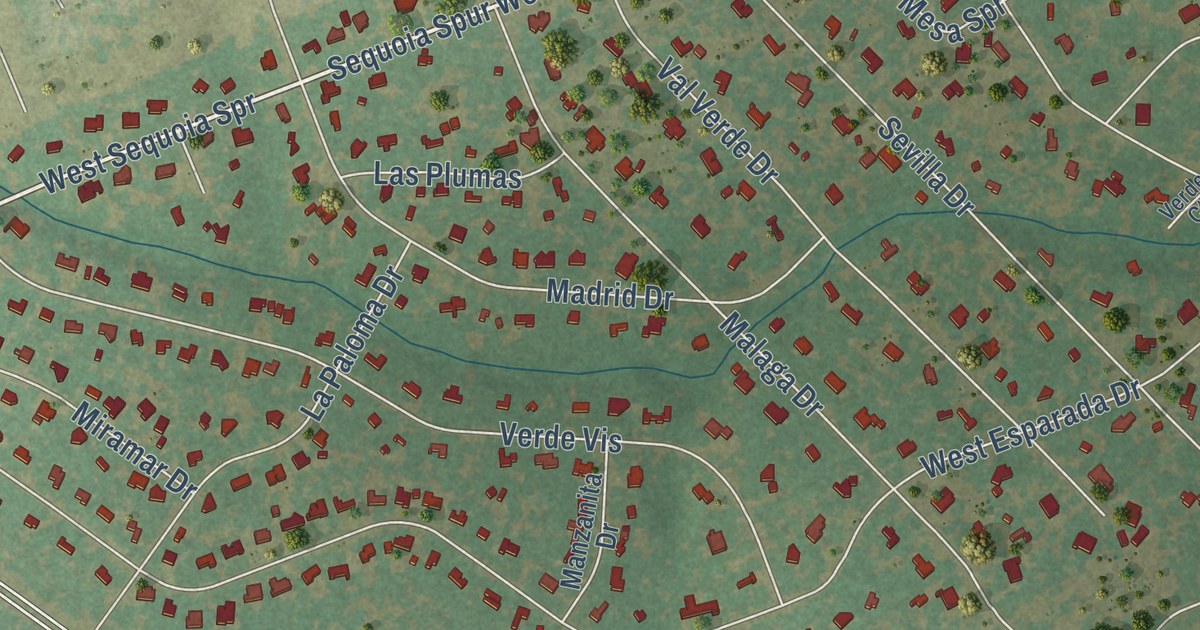
A detailed map of Serenada, Texas, showing every building in its true location, the roads by name, and shaded topographical relief.
Read More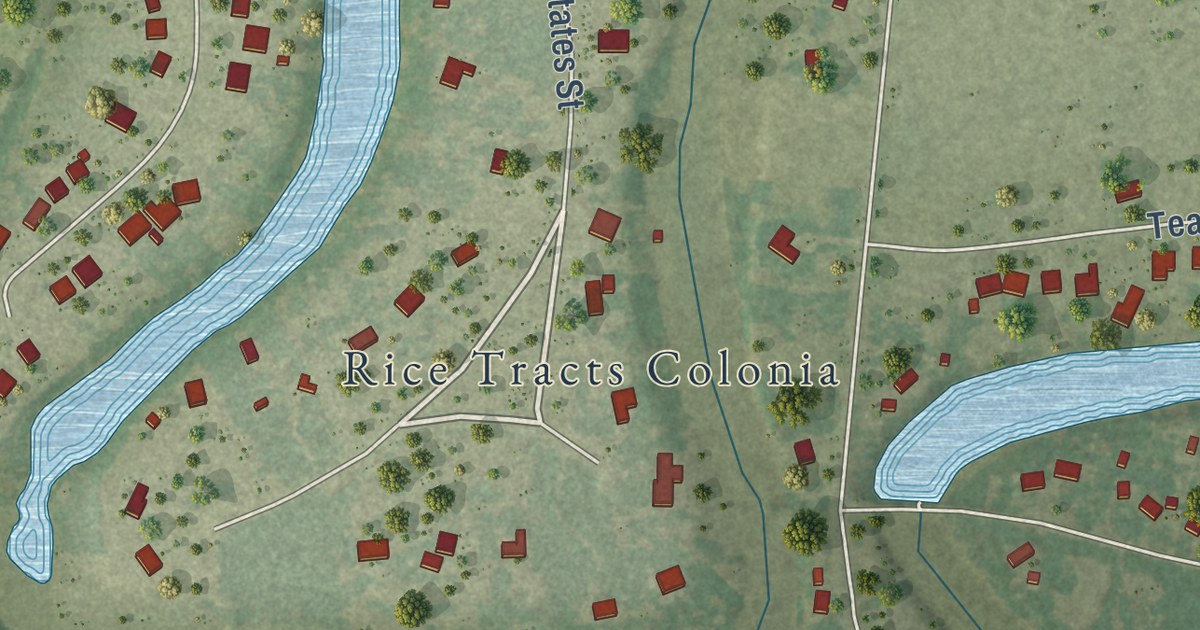
A detailed map of Rice Tracts, Texas, showing every building in its true location, the roads by name, and shaded topographical relief.
Read More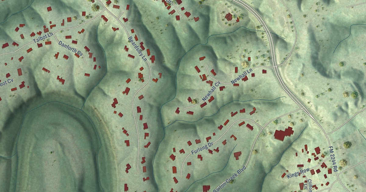
A detailed map of Lost Creek, Texas, showing every building in its true location, the roads by name, and shaded topographical relief.
Read More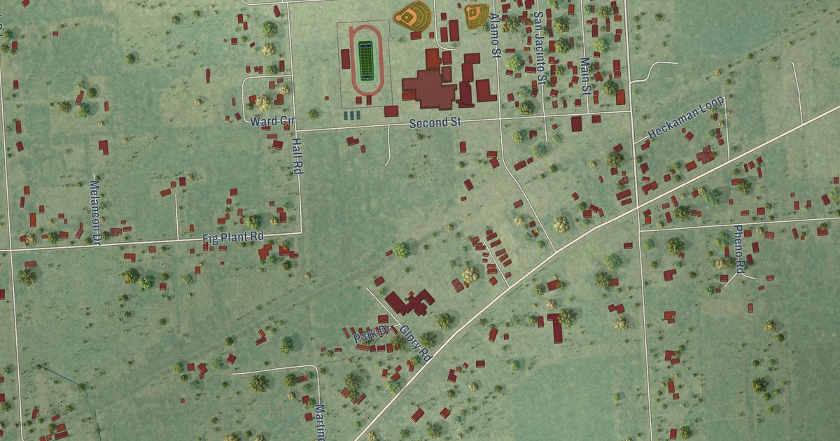
A detailed map of Hamshire, Texas, showing every building in its true location, the roads by name, and shaded topographical relief.
Read More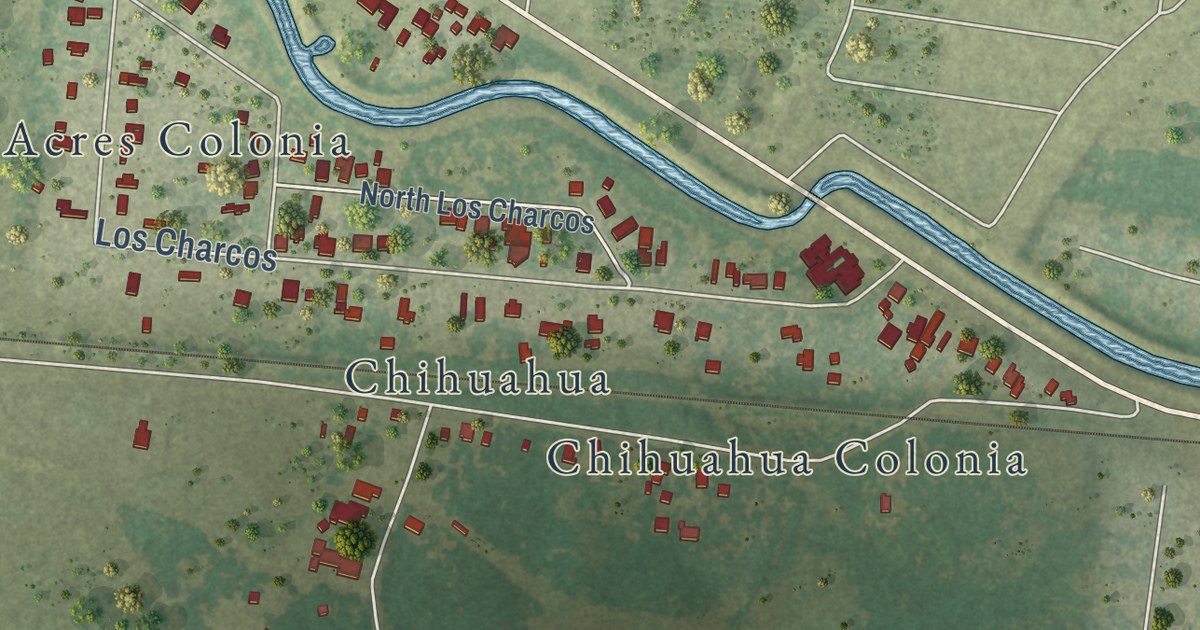
A detailed map of Abram, Texas, showing every building in its true location, the roads by name, and shaded topographical relief.
Read More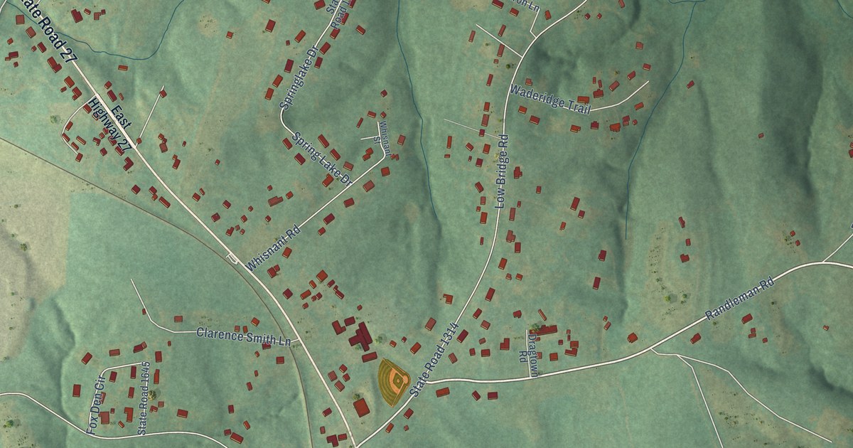
A detailed map of Iron Station, North Carolina, showing every building in its true location, the roads by name, and shaded topographical relief.
Read More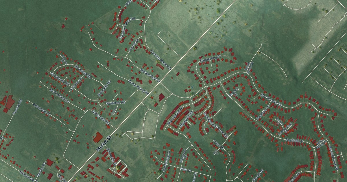
A detailed map of Bayshore, North Carolina, showing every building in its true location, the roads by name, and shaded topographical relief.
Read More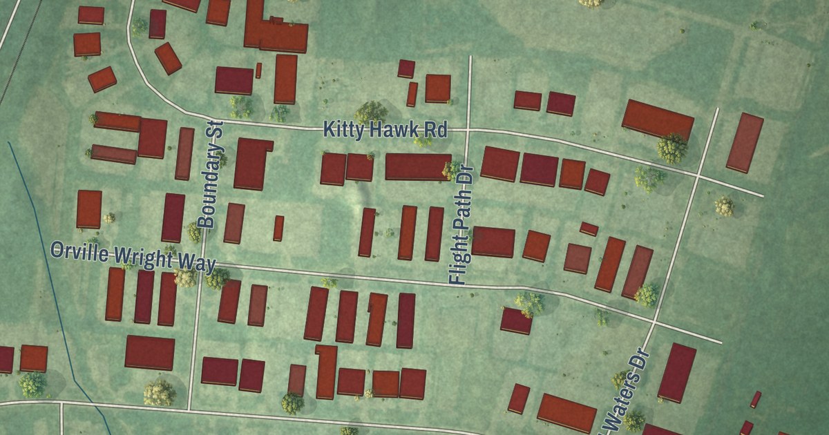
A detailed map of Blue Clay Farms, North Carolina, showing every building in its true location, the roads by name, and shaded topographical relief.
Read More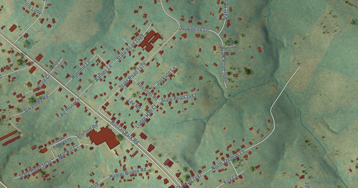
A detailed map of Stony Point, North Carolina, showing every building in its true location, the roads by name, and shaded topographical relief.
Read More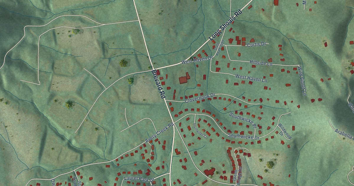
A detailed map of Avery Creek, North Carolina, showing every building in its true location, the roads by name, and shaded topographical relief.
Read More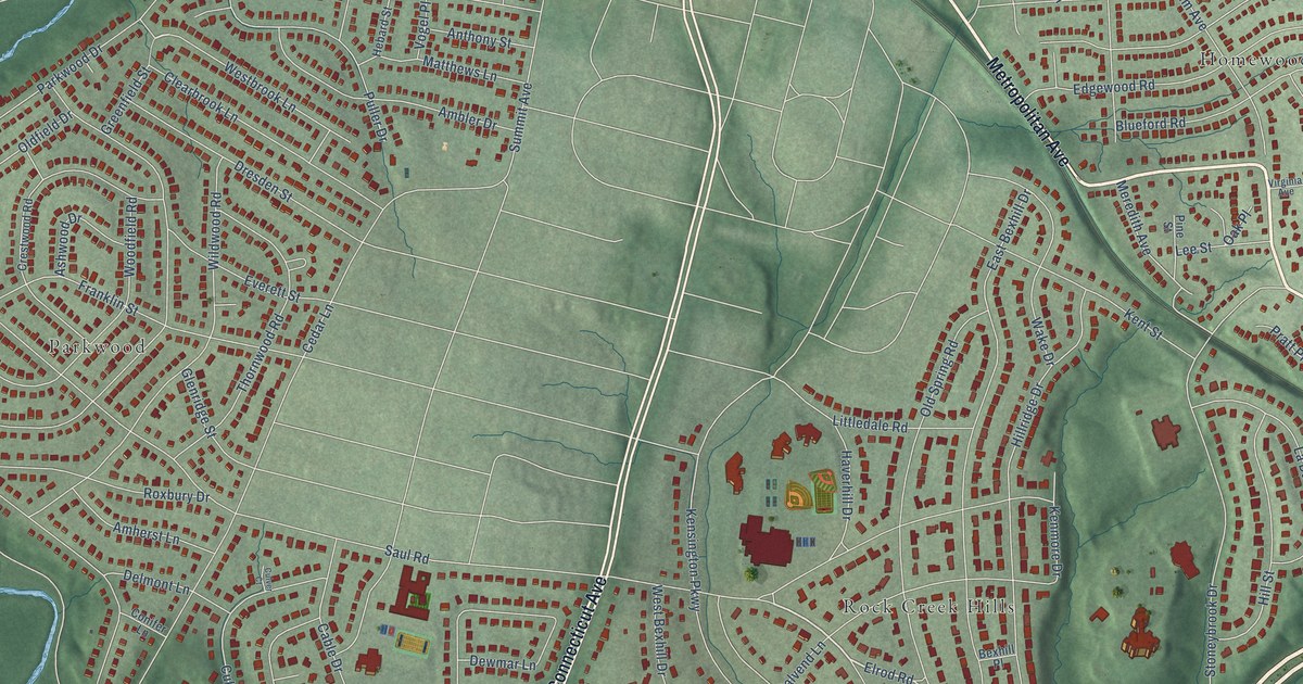
A detailed map of South Kensington, Maryland, showing every building in its true location, the roads by name, and shaded topographical relief.
Read More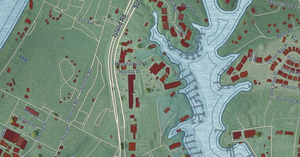
A detailed map of Solomons, Maryland, showing every building in its true location, the roads by name, and shaded topographical relief.
Read More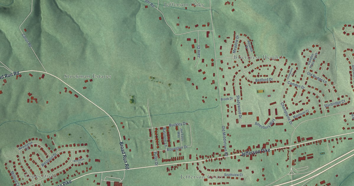
A detailed map of Jefferson, Maryland, showing every building in its true location, the roads by name, and shaded topographical relief.
Read More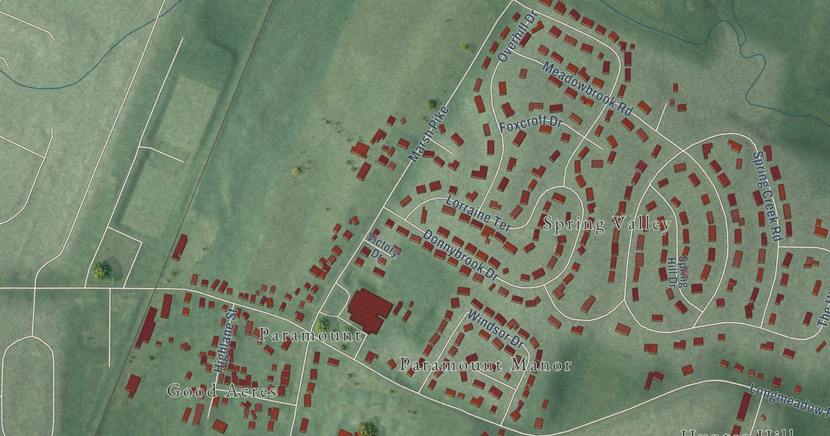
A detailed map of Paramount-Long Meadow, Maryland, showing every building in its true location, the roads by name, and shaded topographical relief.
Read More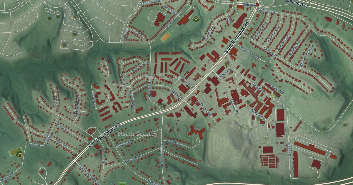
A detailed map of Marlow Heights, Maryland, showing every building in its true location, the roads by name, and shaded topographical relief.
Read More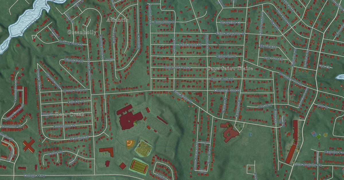
A detailed map of Cape St. Claire, Maryland, showing every building in its true location, the roads by name, and shaded topographical relief.
Read More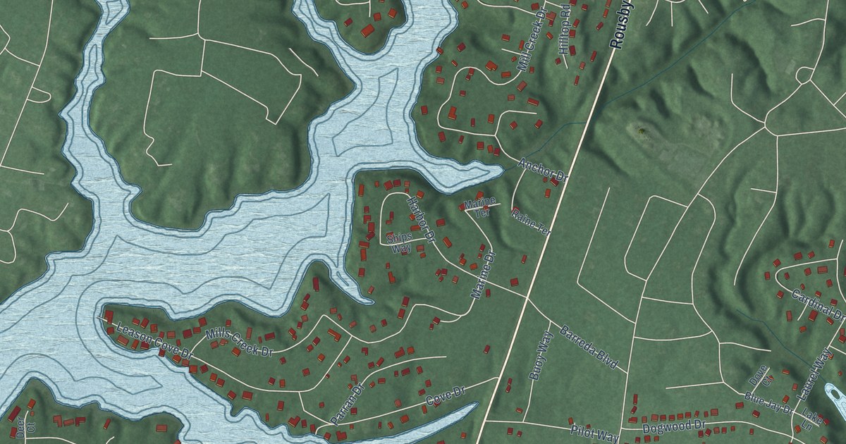
A detailed map of Drum Point, Maryland, showing every building in its true location, the roads by name, and shaded topographical relief.
Read More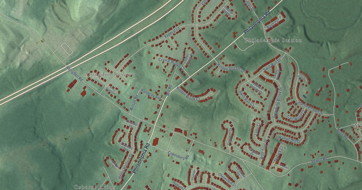
A detailed map of Abingdon, Maryland, showing every building in its true location, the roads by name, and shaded topographical relief.
Read More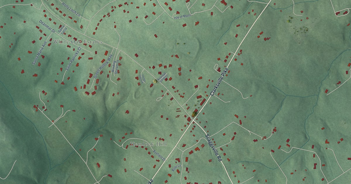
A detailed map of Highland, Maryland, showing every building in its true location, the roads by name, and shaded topographical relief.
Read More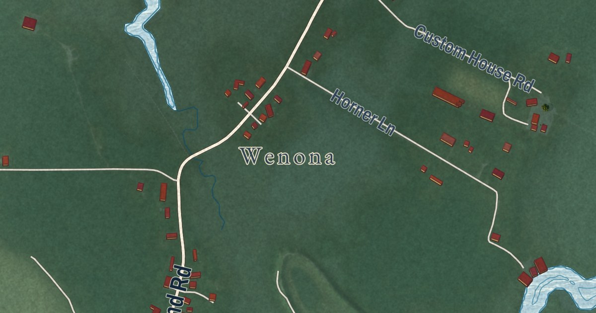
A detailed map of Deal Island, Maryland, showing every building in its true location, the roads by name, and shaded topographical relief.
Read More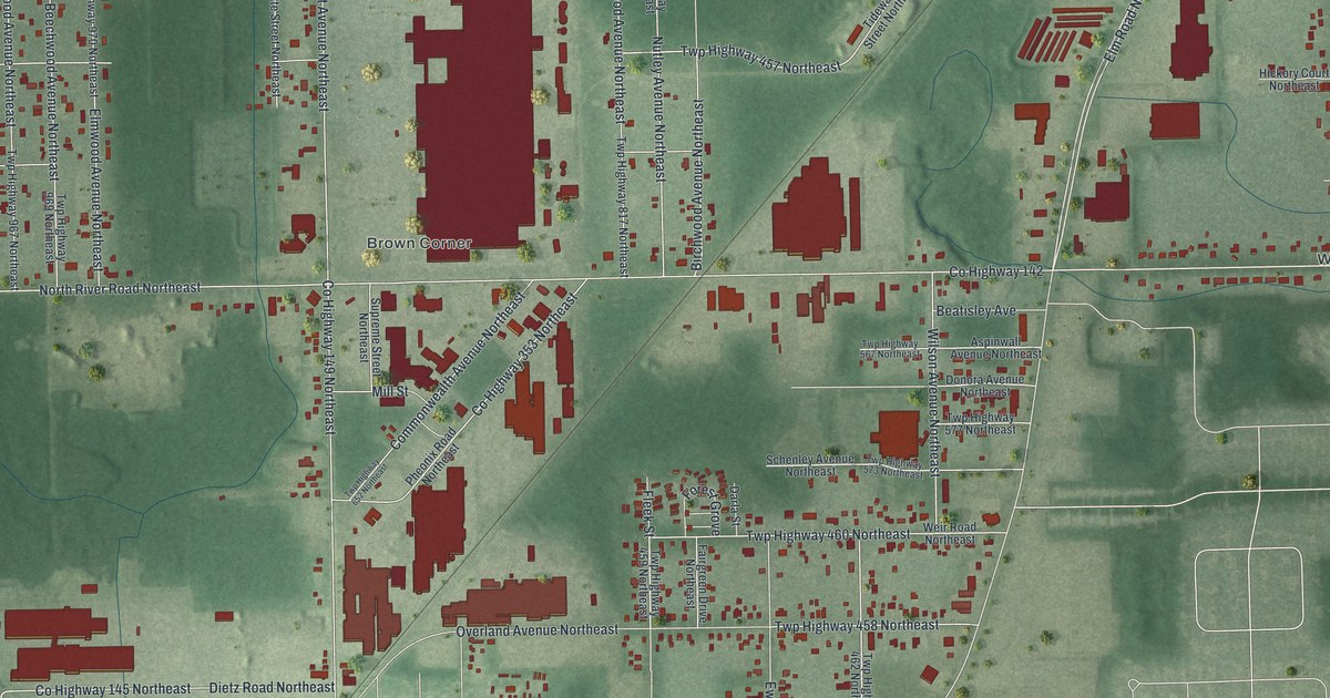
A detailed map of Morgandale, Ohio, showing every building in its true location, the roads by name, and shaded topographical relief.
Read More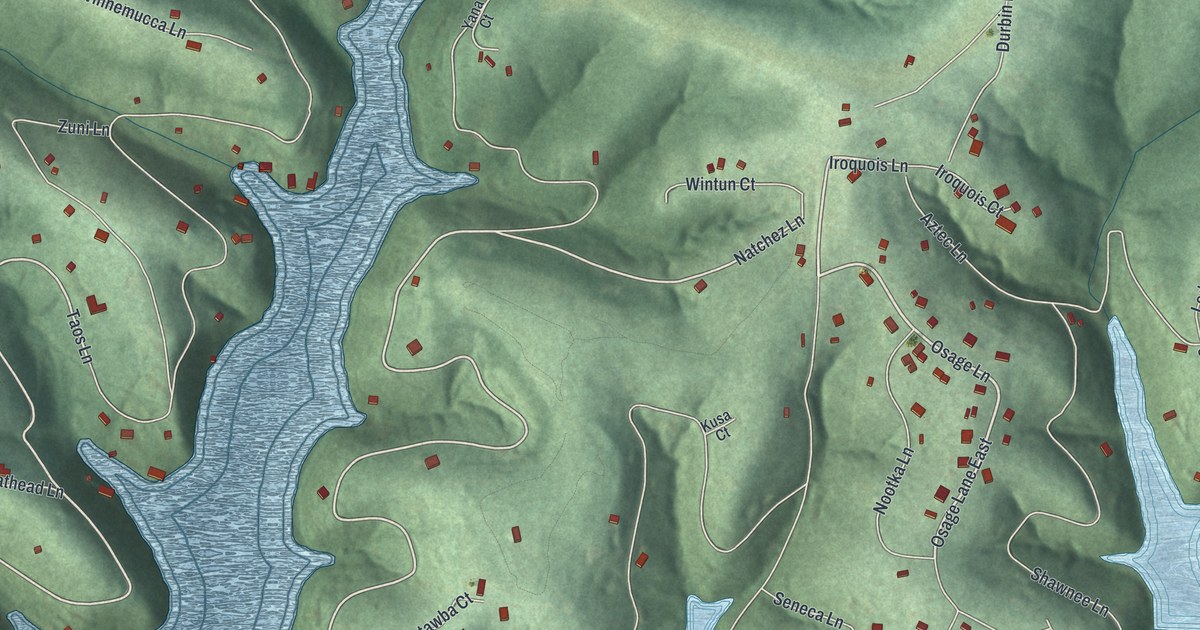
A detailed map of Hide-A-Way Hills, Ohio, showing every building in its true location, the roads by name, and shaded topographical relief.
Read More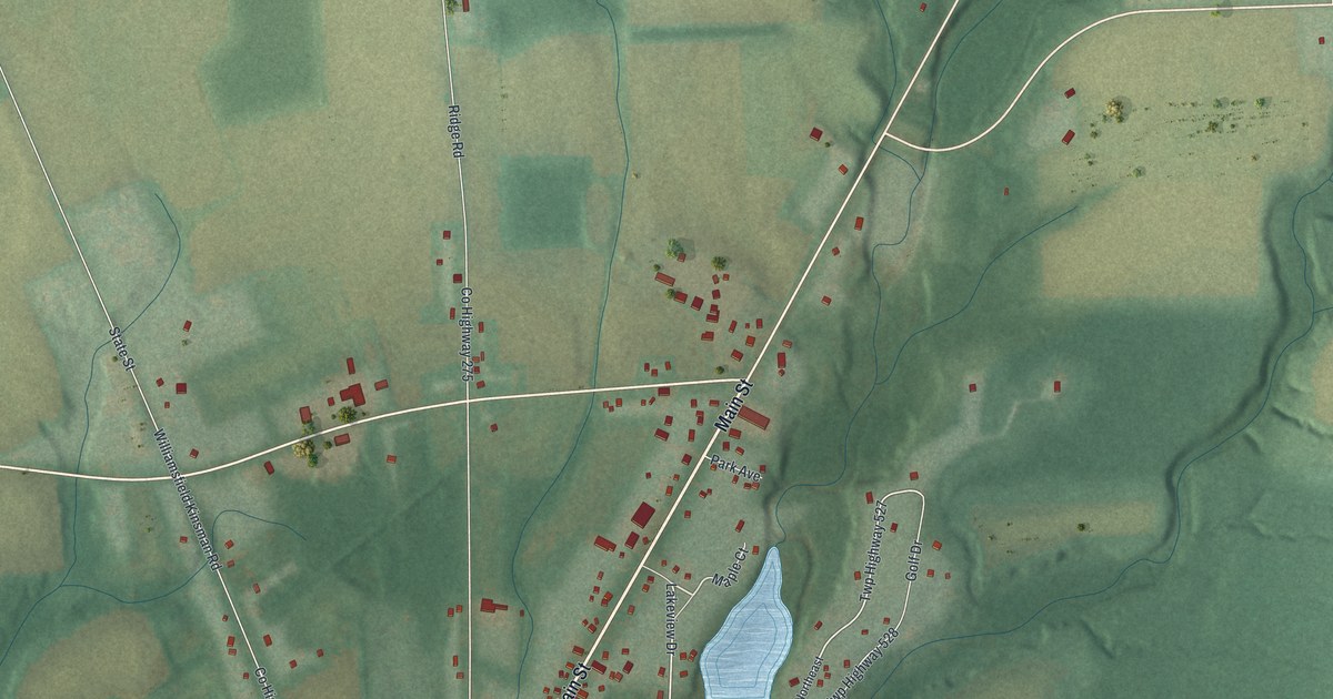
A detailed map of Kinsman Center, Ohio, showing every building in its true location, the roads by name, and shaded topographical relief.
Read More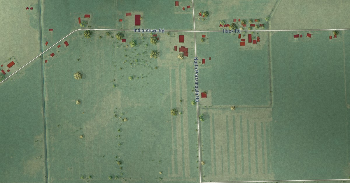
A detailed map of Robin Glen-Indiantown, Michigan, showing every building in its true location, the roads by name, and shaded topographical relief.
Read More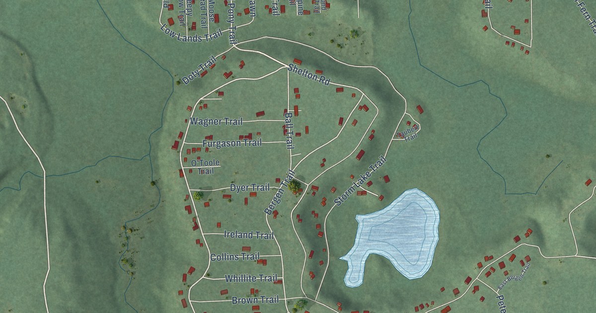
A detailed map of Canada Creek Ranch, Michigan, showing every building in its true location, the roads by name, and shaded topographical relief.
Read More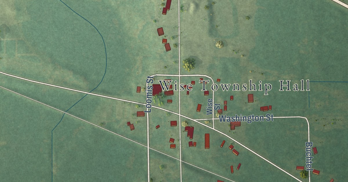
A detailed map of Loomis, Michigan, showing every building in its true location, the roads by name, and shaded topographical relief.
Read More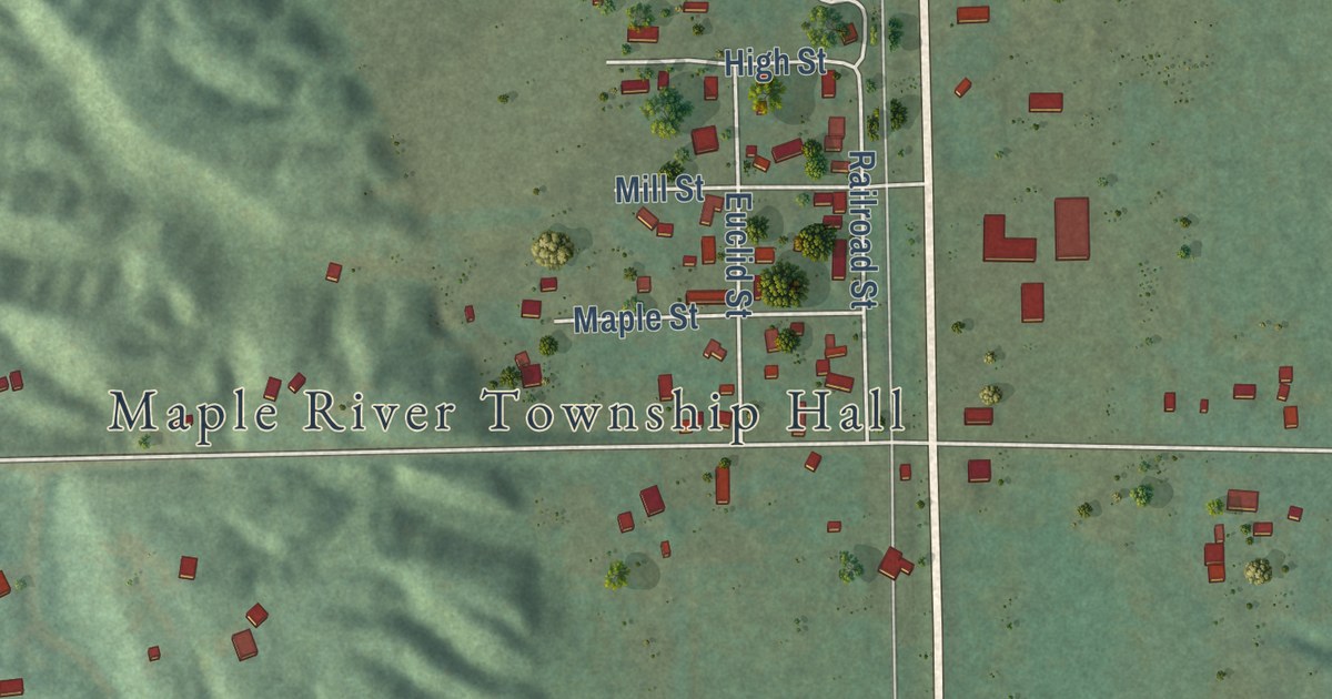
A detailed map of Brutus, Michigan, showing every building in its true location, the roads by name, and shaded topographical relief.
Read More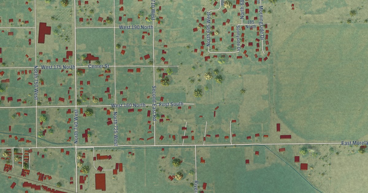
A detailed map of Moreland, Idaho, showing every building in its true location, the roads by name, and shaded topographical relief.
Read More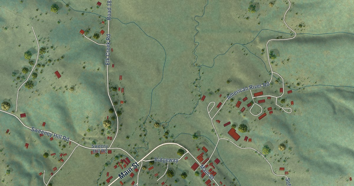
A detailed map of Elk City, Idaho, showing every building in its true location, the roads by name, and shaded topographical relief.
Read More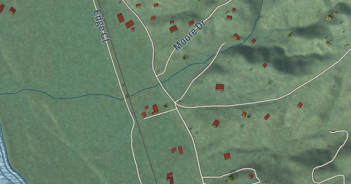
A detailed map of Smiths Ferry, Idaho, showing every building in its true location, the roads by name, and shaded topographical relief.
Read More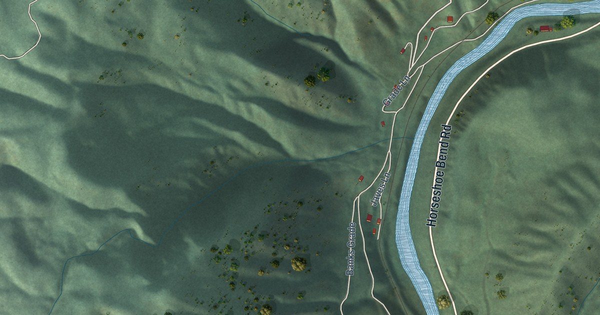
A detailed map of Banks, Idaho, showing every building in its true location, the roads by name, and shaded topographical relief.
Read More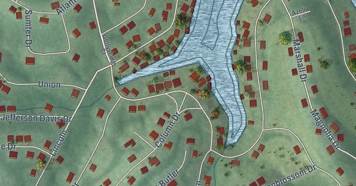
A detailed map of Raintree Plantation, Missouri, showing every building in its true location, the roads by name, and shaded topographical relief.
Read More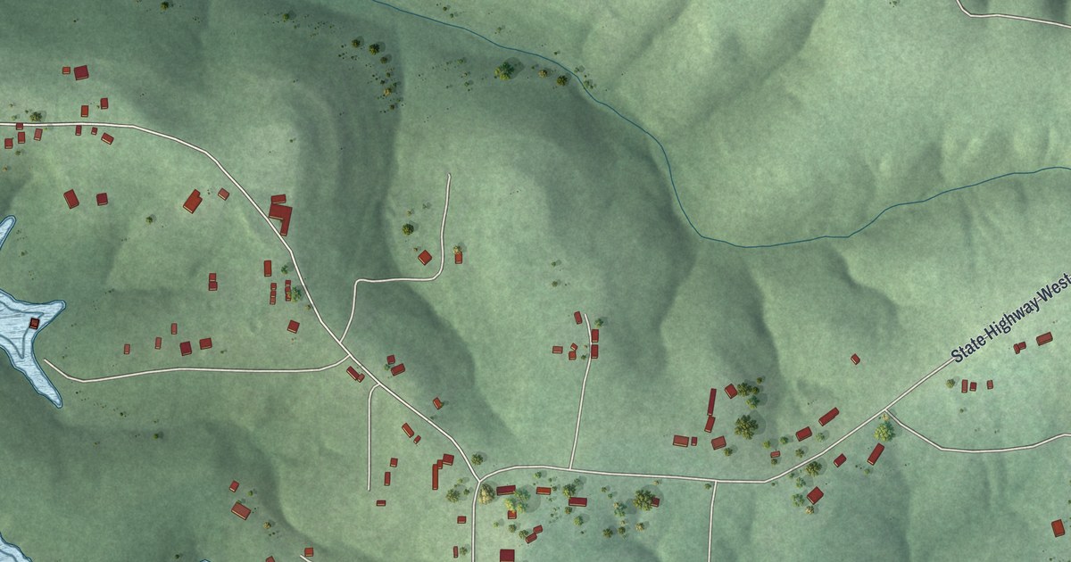
A detailed map of Pontiac, Missouri, showing every building in its true location, the roads by name, and shaded topographical relief.
Read More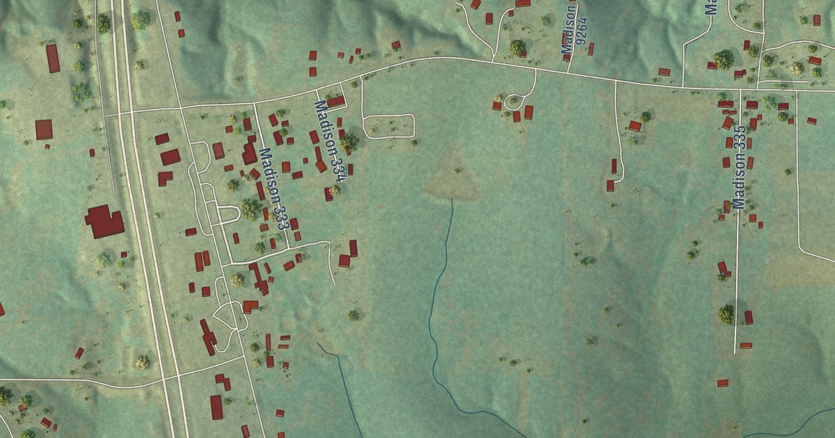
A detailed map of Cherokee Pass, Missouri, showing every building in its true location, the roads by name, and shaded topographical relief.
Read More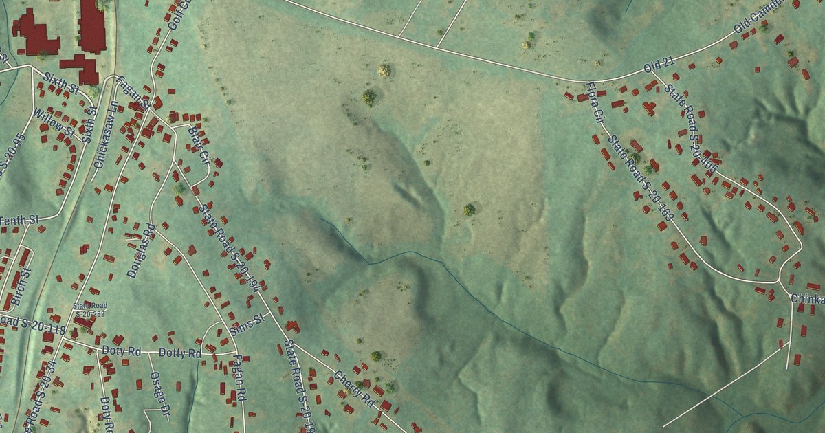
A detailed map of Winnsboro Mills, South Carolina, showing every building in its true location, the roads by name, and shaded topographical relief.
Read More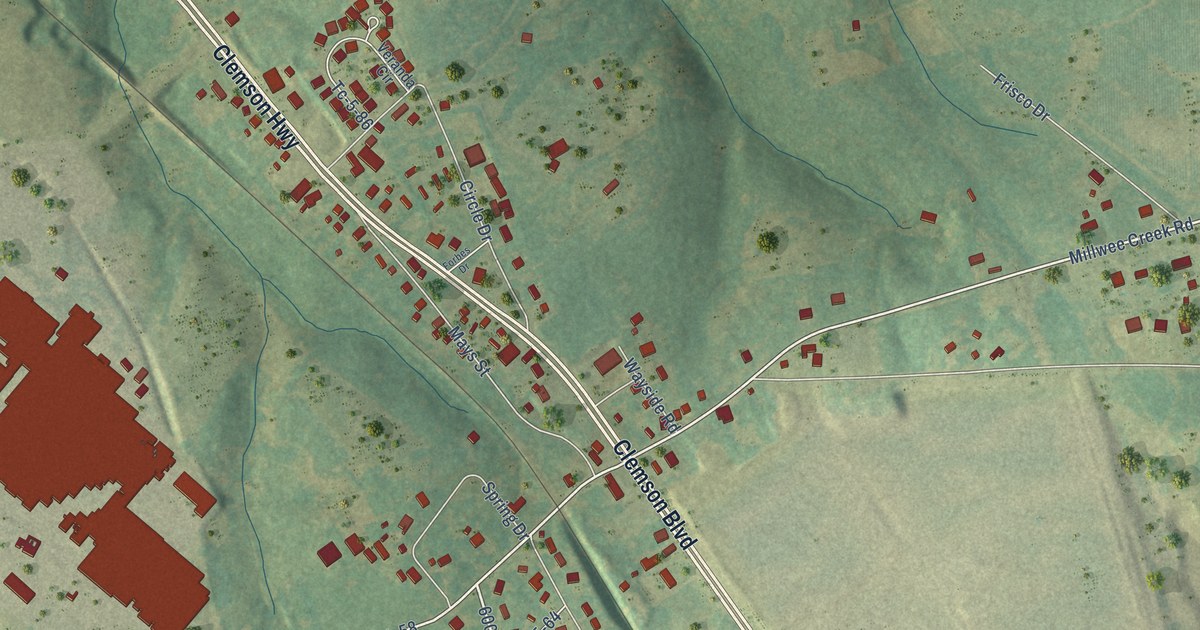
A detailed map of Sandy Springs, South Carolina, showing every building in its true location, the roads by name, and shaded topographical relief.
Read More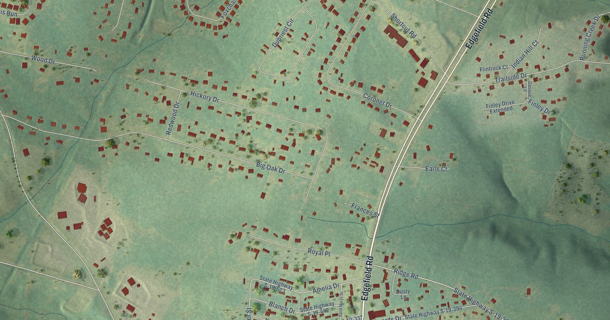
A detailed map of Murphys Estates, South Carolina, showing every building in its true location, the roads by name, and shaded topographical relief.
Read More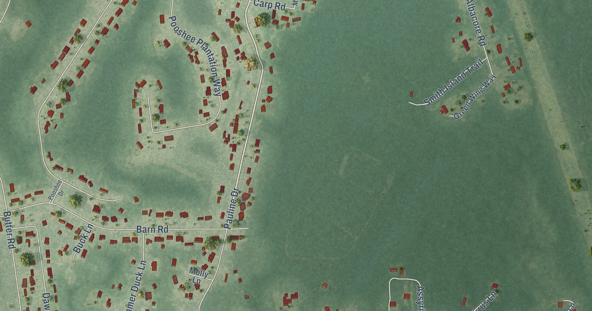
A detailed map of Bonneau Beach, South Carolina, showing every building in its true location, the roads by name, and shaded topographical relief.
Read More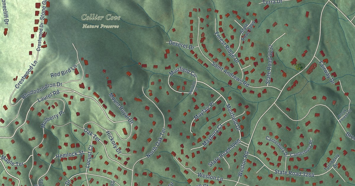
A detailed map of Royal Pines, North Carolina, showing every building in its true location, the roads by name, and shaded topographical relief.
Read More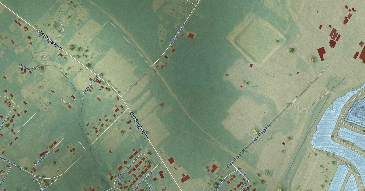
A detailed map of Riegelwood, North Carolina, showing every building in its true location, the roads by name, and shaded topographical relief.
Read More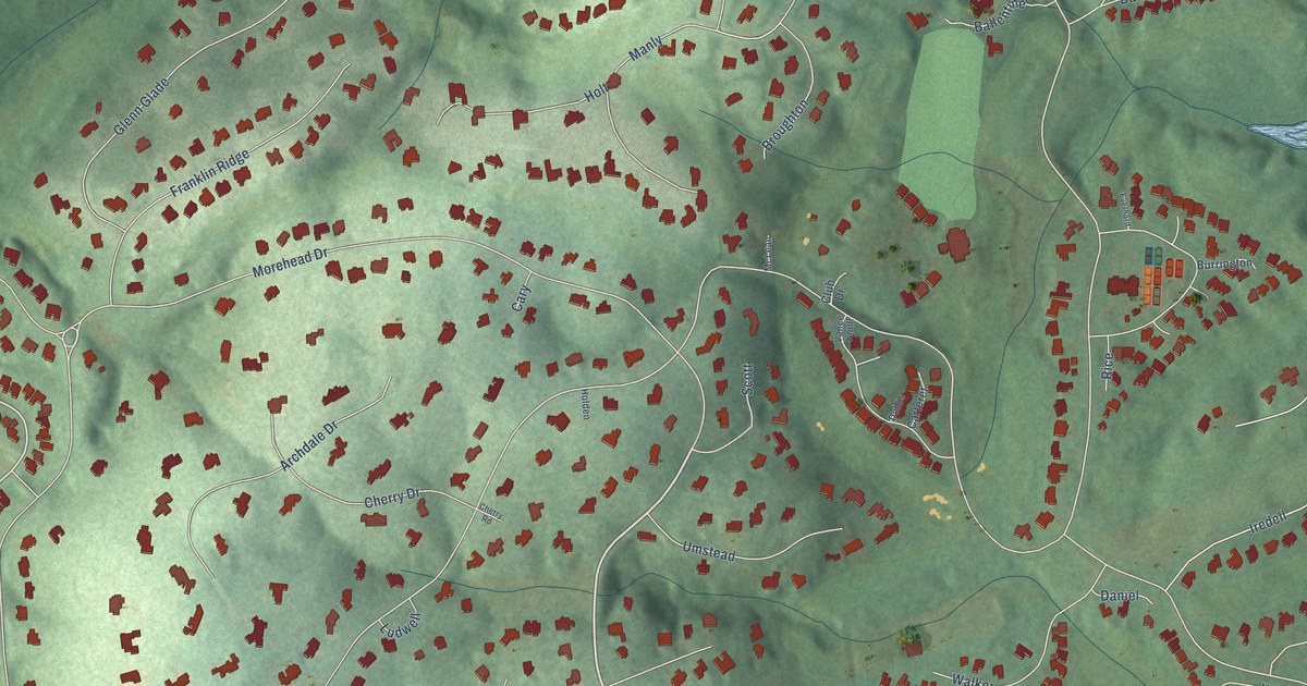
A detailed map of Governors Club, North Carolina, showing every building in its true location, the roads by name, and shaded topographical relief.
Read More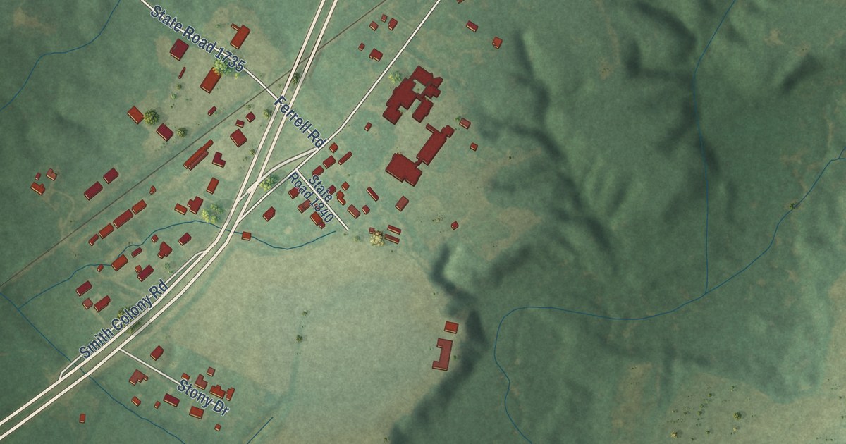
A detailed map of Graingers, North Carolina, showing every building in its true location, the roads by name, and shaded topographical relief.
Read More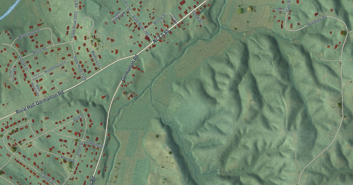
A detailed map of Germanton, North Carolina, showing every building in its true location, the roads by name, and shaded topographical relief.
Read More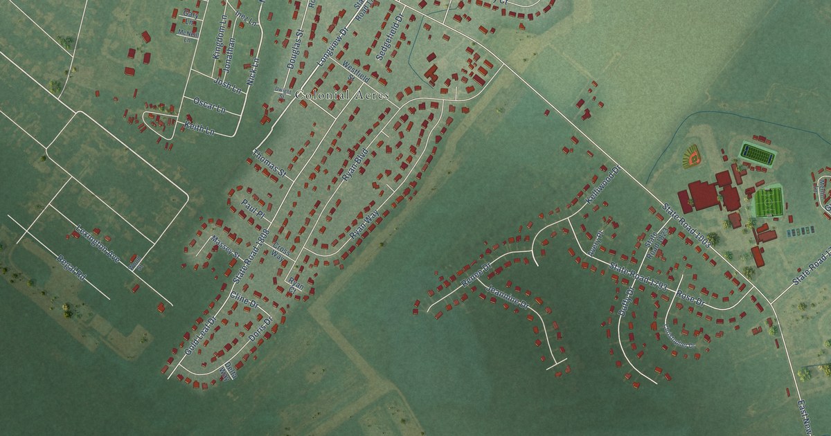
A detailed map of New Hope, North Carolina, showing every building in its true location, the roads by name, and shaded topographical relief.
Read More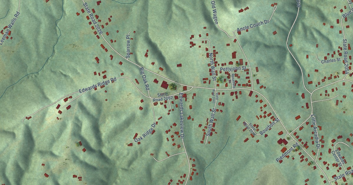
A detailed map of Pleasant Hill, North Carolina, showing every building in its true location, the roads by name, and shaded topographical relief.
Read More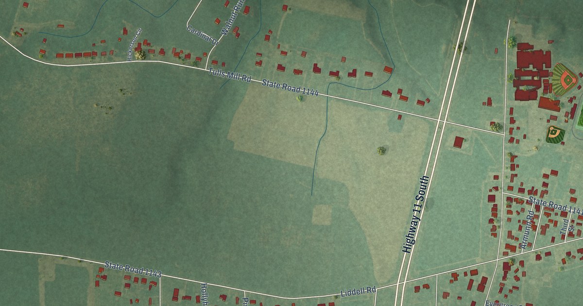
A detailed map of Deep Run, North Carolina, showing every building in its true location, the roads by name, and shaded topographical relief.
Read More















