Detailed Map of Honokaa, Hawaii
A detailed map of Honokaa, Hawaii, showing every building in its true location, the roads by name, and shaded topographical relief.
Read More
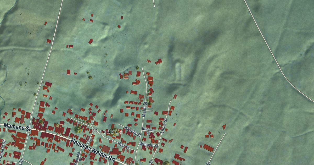
A detailed map of Honokaa, Hawaii, showing every building in its true location, the roads by name, and shaded topographical relief.
Read More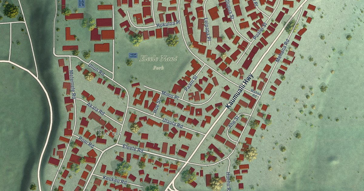
A detailed map of Eleele, Hawaii, showing every building in its true location, the roads by name, and shaded topographical relief.
Read More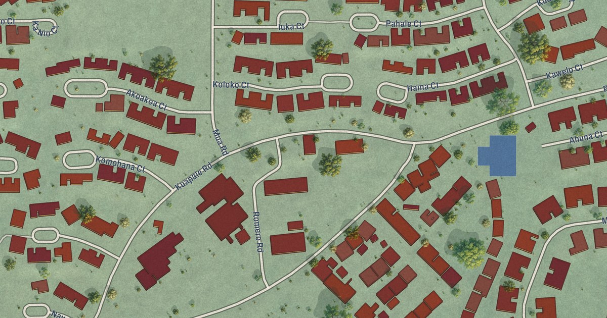
A detailed map of Helemano, Hawaii, showing every building in its true location, the roads by name, and shaded topographical relief.
Read More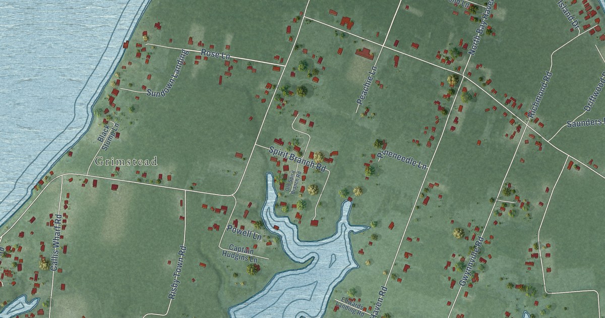
A detailed map of Gwynn, Virginia, showing every building in its true location, the roads by name, and shaded topographical relief.
Read More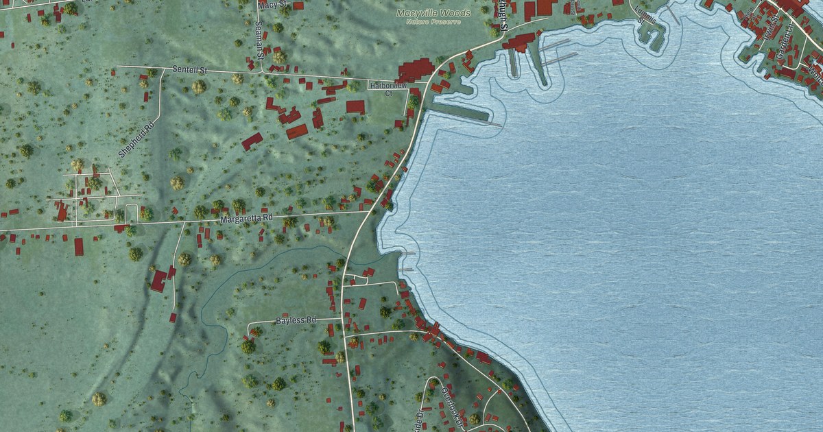
A detailed map of Sodus Point, New York, showing every building in its true location, the roads by name, and shaded topographical relief.
Read More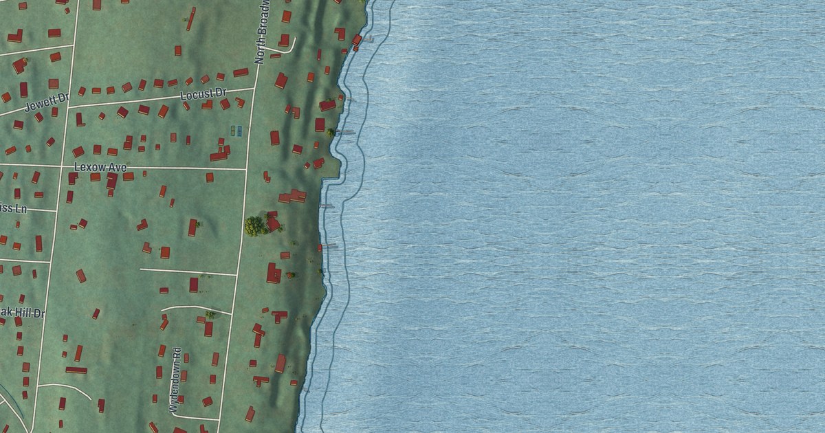
A detailed map of Upper Nyack, New York, showing every building in its true location, the roads by name, and shaded topographical relief.
Read More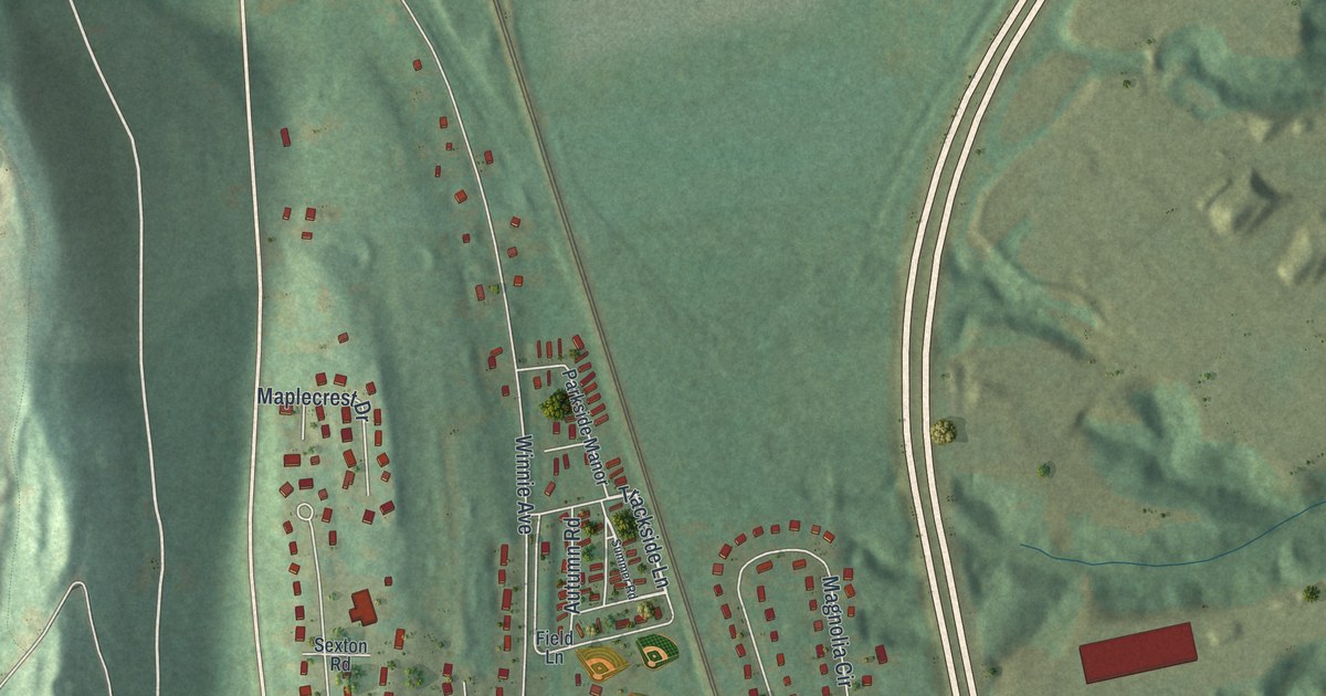
A detailed map of Ravena, New York, showing every building in its true location, the roads by name, and shaded topographical relief.
Read More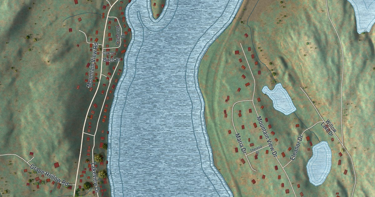
A detailed map of Shorehaven, New York, showing every building in its true location, the roads by name, and shaded topographical relief.
Read More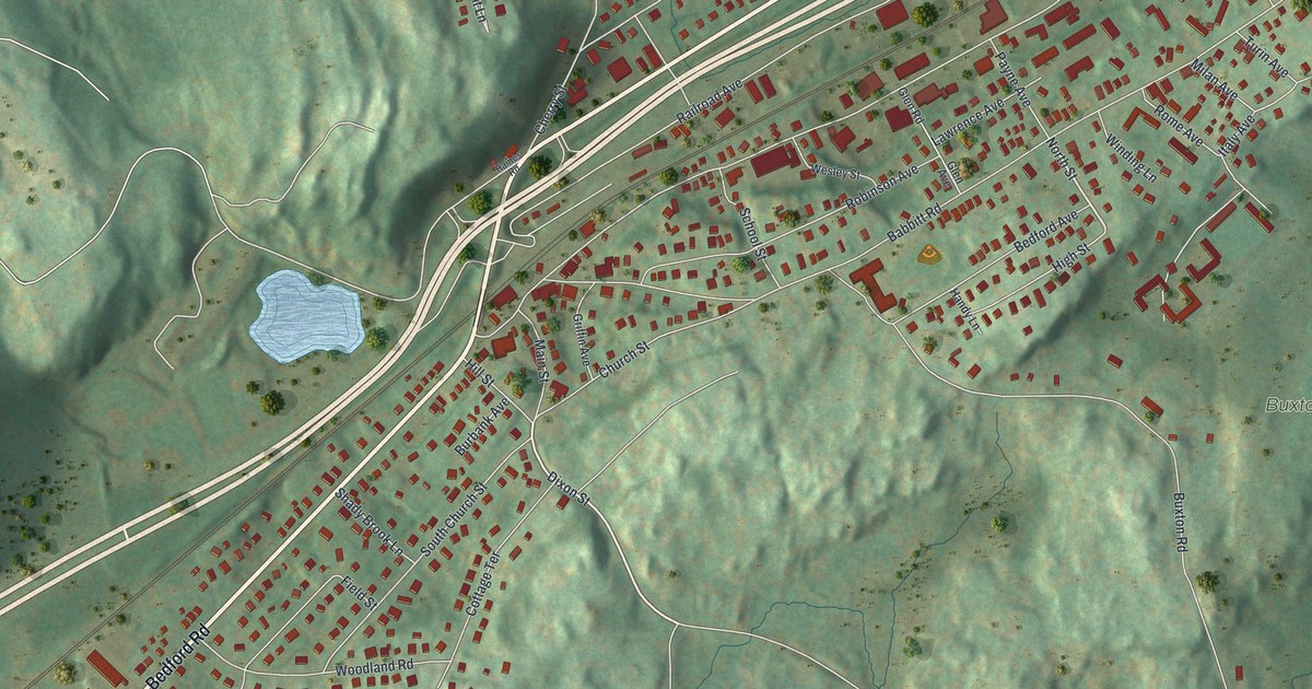
A detailed map of Bedford Hills, New York, showing every building in its true location, the roads by name, and shaded topographical relief.
Read More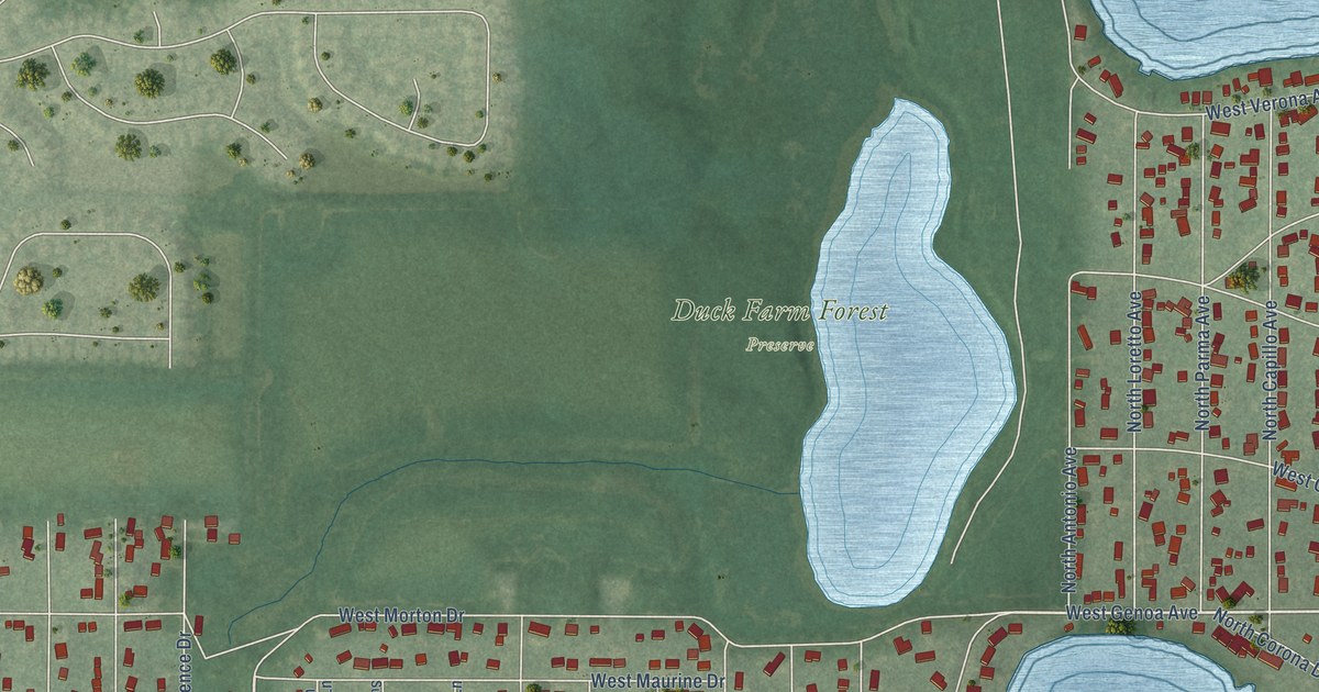
A detailed map of Venetian Village, Illinois, showing every building in its true location, the roads by name, and shaded topographical relief.
Read More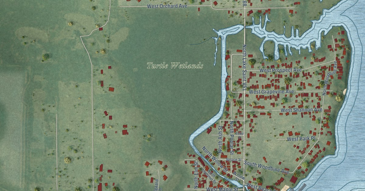
A detailed map of Channel Lake, Illinois, showing every building in its true location, the roads by name, and shaded topographical relief.
Read More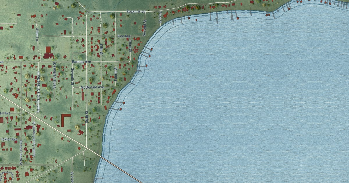
A detailed map of Lillian, Alabama, showing every building in its true location, the roads by name, and shaded topographical relief.
Read More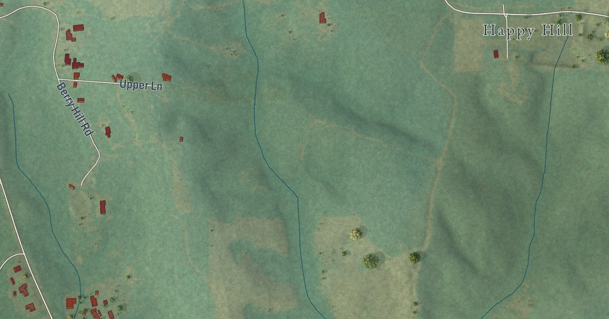
A detailed map of Fairford, Alabama, showing every building in its true location, the roads by name, and shaded topographical relief.
Read More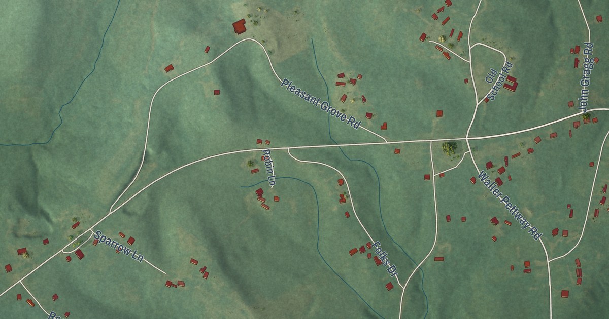
A detailed map of Boykin, Alabama, showing every building in its true location, the roads by name, and shaded topographical relief.
Read More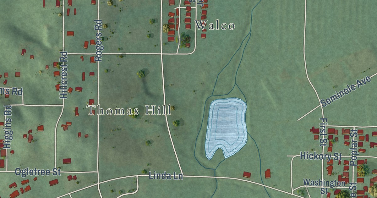
A detailed map of Mignon, Alabama, showing every building in its true location, the roads by name, and shaded topographical relief.
Read More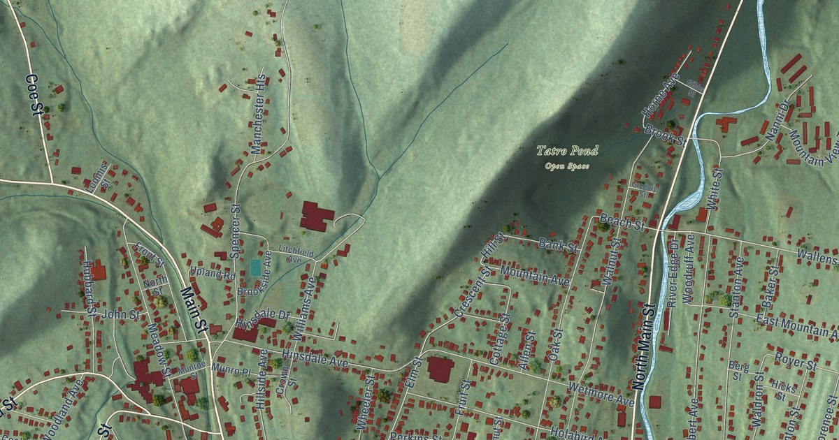
A detailed map of Winsted, Connecticut, showing every building in its true location, the roads by name, and shaded topographical relief.
Read More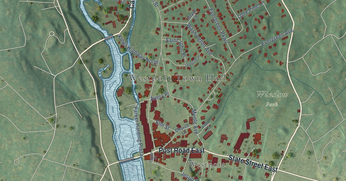
A detailed map of Westport Village, Connecticut, showing every building in its true location, the roads by name, and shaded topographical relief.
Read More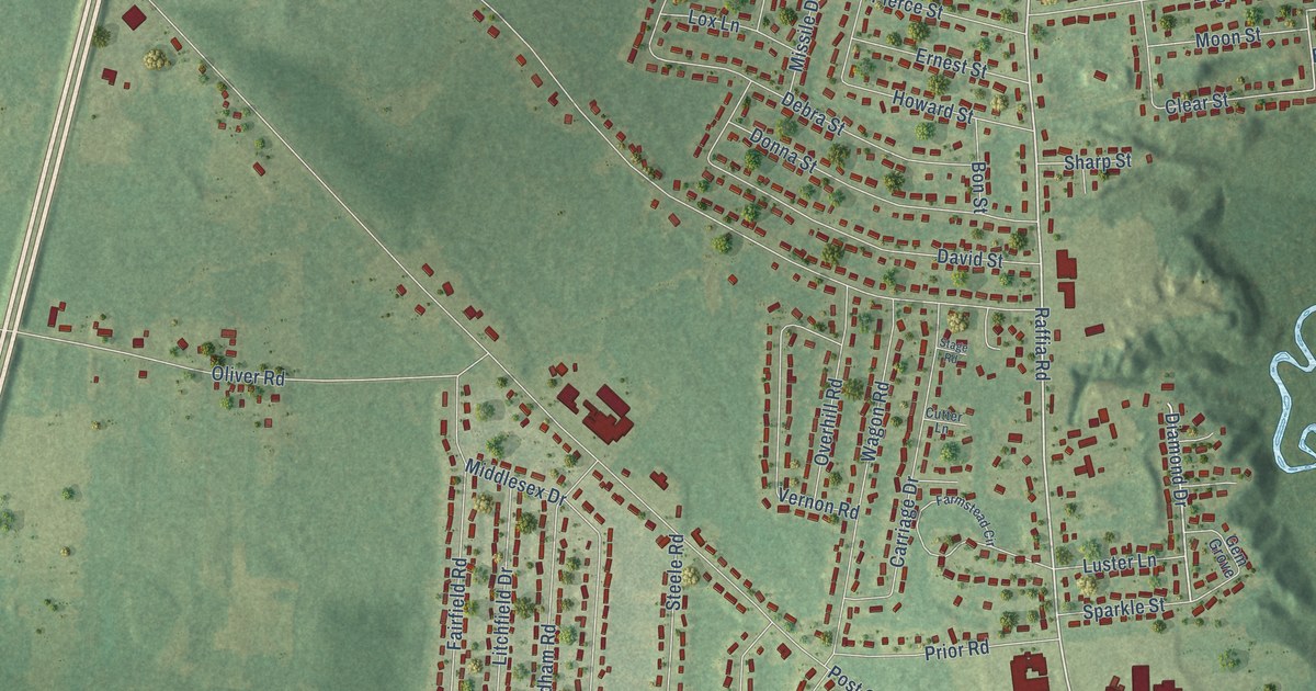
A detailed map of Southwood Acres, Connecticut, showing every building in its true location, the roads by name, and shaded topographical relief.
Read More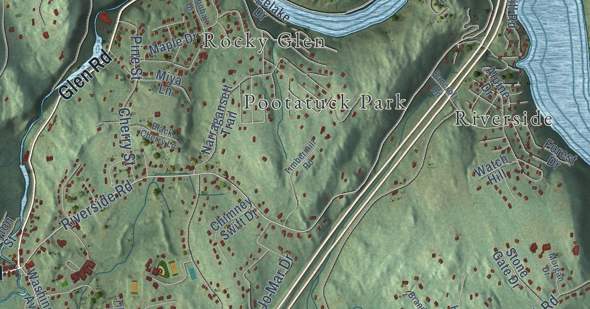
A detailed map of Sandy Hook, Connecticut, showing every building in its true location, the roads by name, and shaded topographical relief.
Read More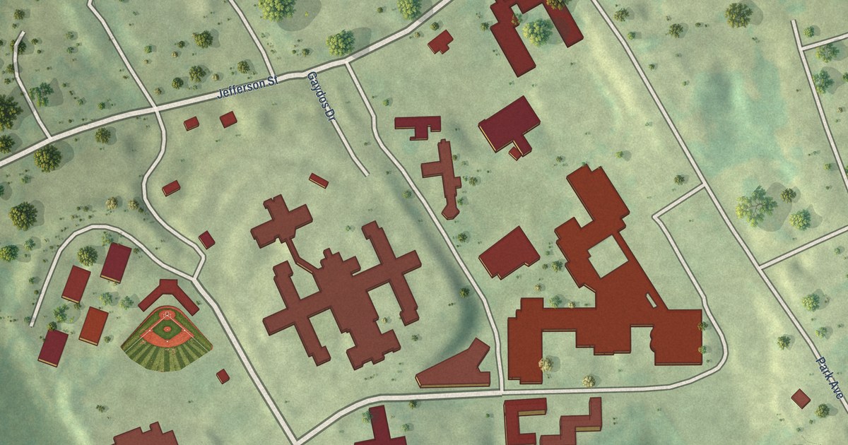
A detailed map of Sacred Heart University, Connecticut, showing every building in its true location, the roads by name, and shaded topographical relief.
Read More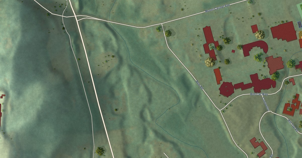
A detailed map of Quinnipiac University, Connecticut, showing every building in its true location, the roads by name, and shaded topographical relief.
Read More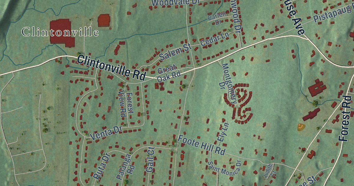
A detailed map of Northford, Connecticut, showing every building in its true location, the roads by name, and shaded topographical relief.
Read More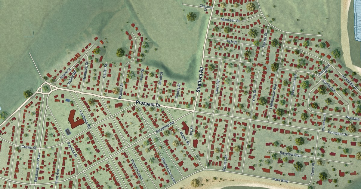
A detailed map of Lordship, Connecticut, showing every building in its true location, the roads by name, and shaded topographical relief.
Read More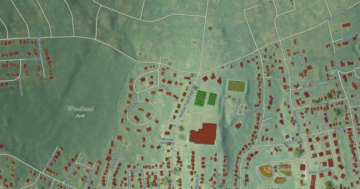
A detailed map of Noroton Heights, Connecticut, showing every building in its true location, the roads by name, and shaded topographical relief.
Read More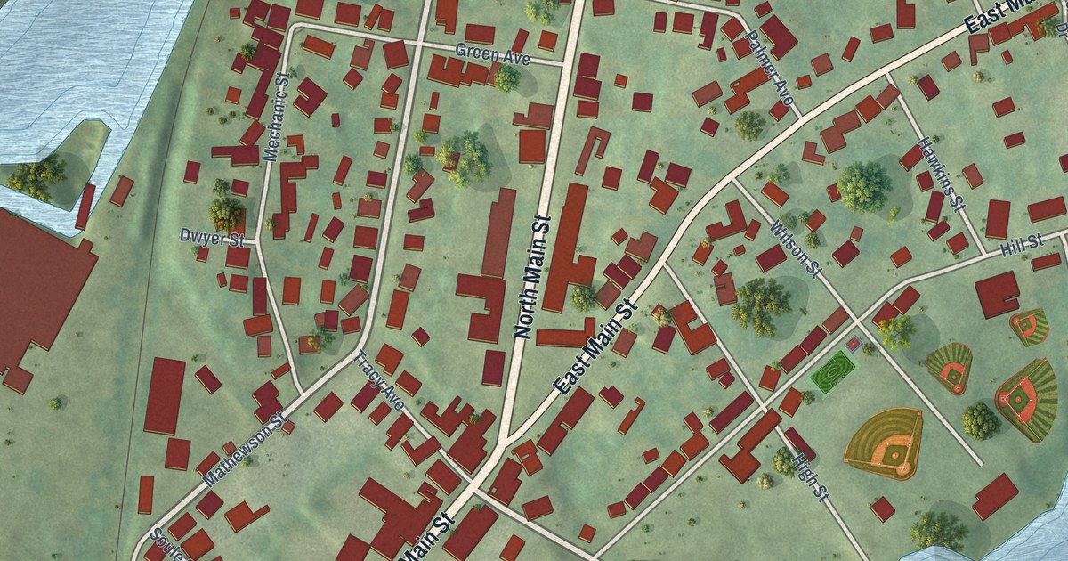
A detailed map of Jewett City, Connecticut, showing every building in its true location, the roads by name, and shaded topographical relief.
Read More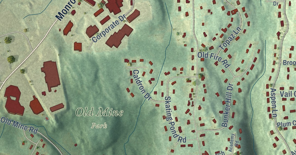
A detailed map of Daniels Farm, Connecticut, showing every building in its true location, the roads by name, and shaded topographical relief.
Read More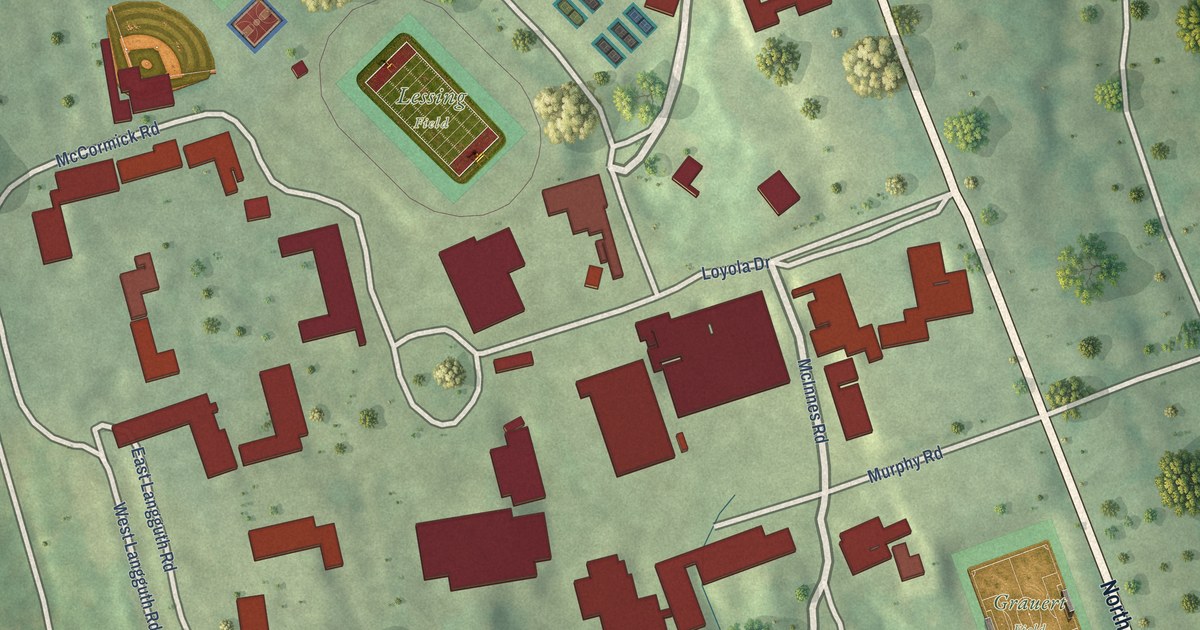
A detailed map of Fairfield University, Connecticut, showing every building in its true location, the roads by name, and shaded topographical relief.
Read More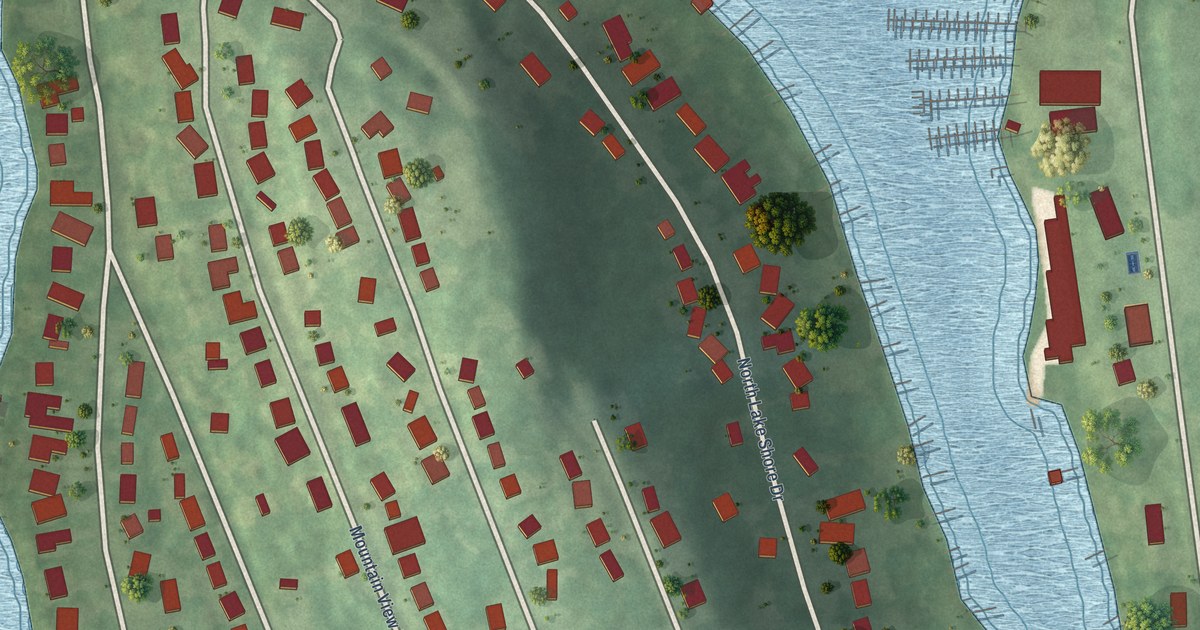
A detailed map of Candlewood Shores, Connecticut, showing every building in its true location, the roads by name, and shaded topographical relief.
Read More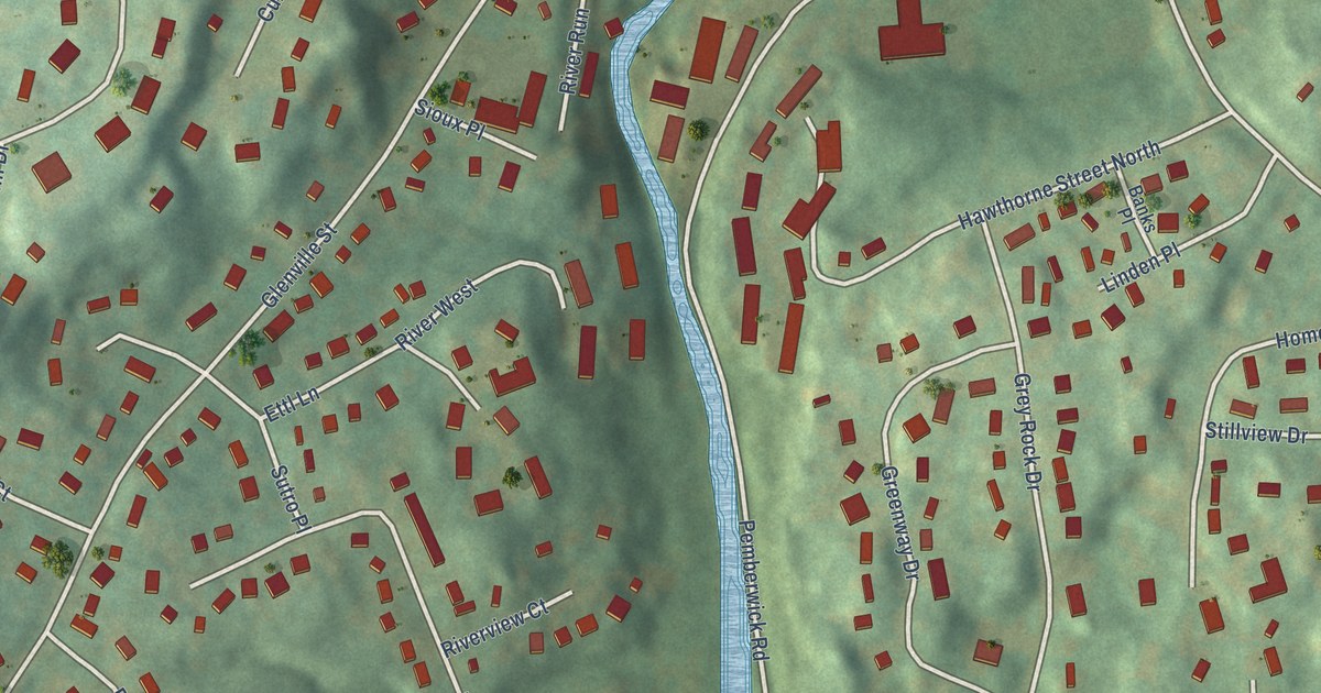
A detailed map of Glenville, Connecticut, showing every building in its true location, the roads by name, and shaded topographical relief.
Read More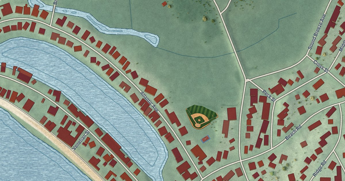
A detailed map of Groton Long Point, Connecticut, showing every building in its true location, the roads by name, and shaded topographical relief.
Read More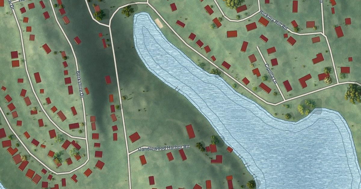
A detailed map of Candlewood Orchards, Connecticut, showing every building in its true location, the roads by name, and shaded topographical relief.
Read More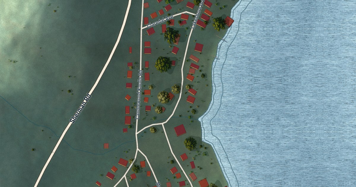
A detailed map of Candlewood Knolls, Connecticut, showing every building in its true location, the roads by name, and shaded topographical relief.
Read More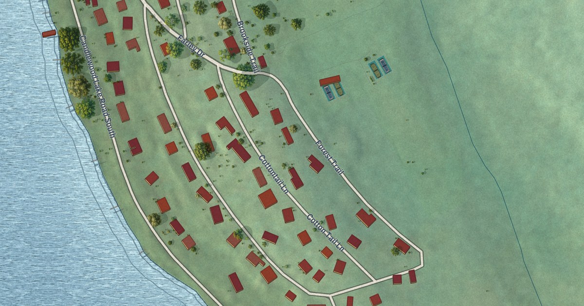
A detailed map of Candlewood Lake Club, Connecticut, showing every building in its true location, the roads by name, and shaded topographical relief.
Read More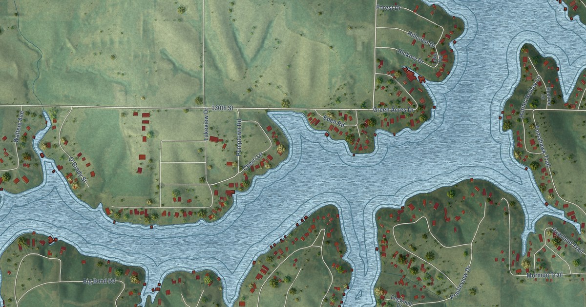
A detailed map of Sun Valley Lake, Iowa, showing every building in its true location, the roads by name, and shaded topographical relief.
Read More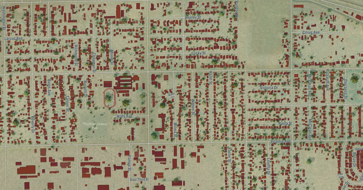
A detailed map of Potomac Park, California, showing every building in its true location, the roads by name, and shaded topographical relief.
Read More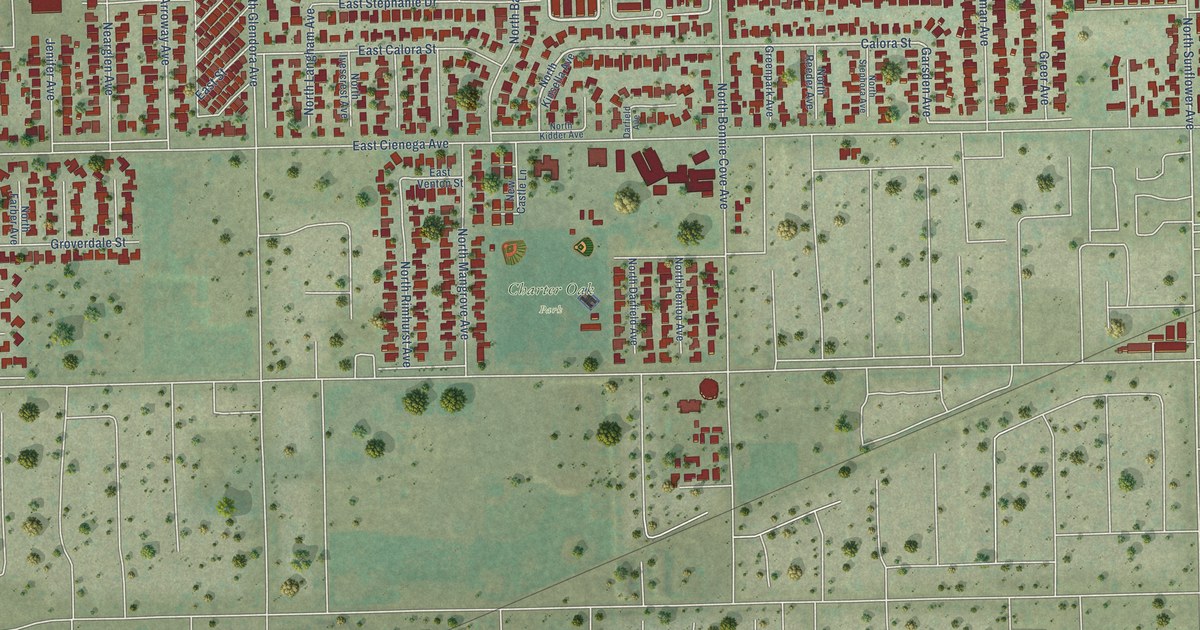
A detailed map of Charter Oak, California, showing every building in its true location, the roads by name, and shaded topographical relief.
Read More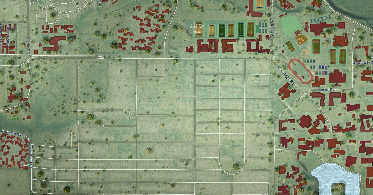
A detailed map of University of California-Santa Barbara, California, showing every building in its true location, the roads by name, and shaded topographical relief.
Read More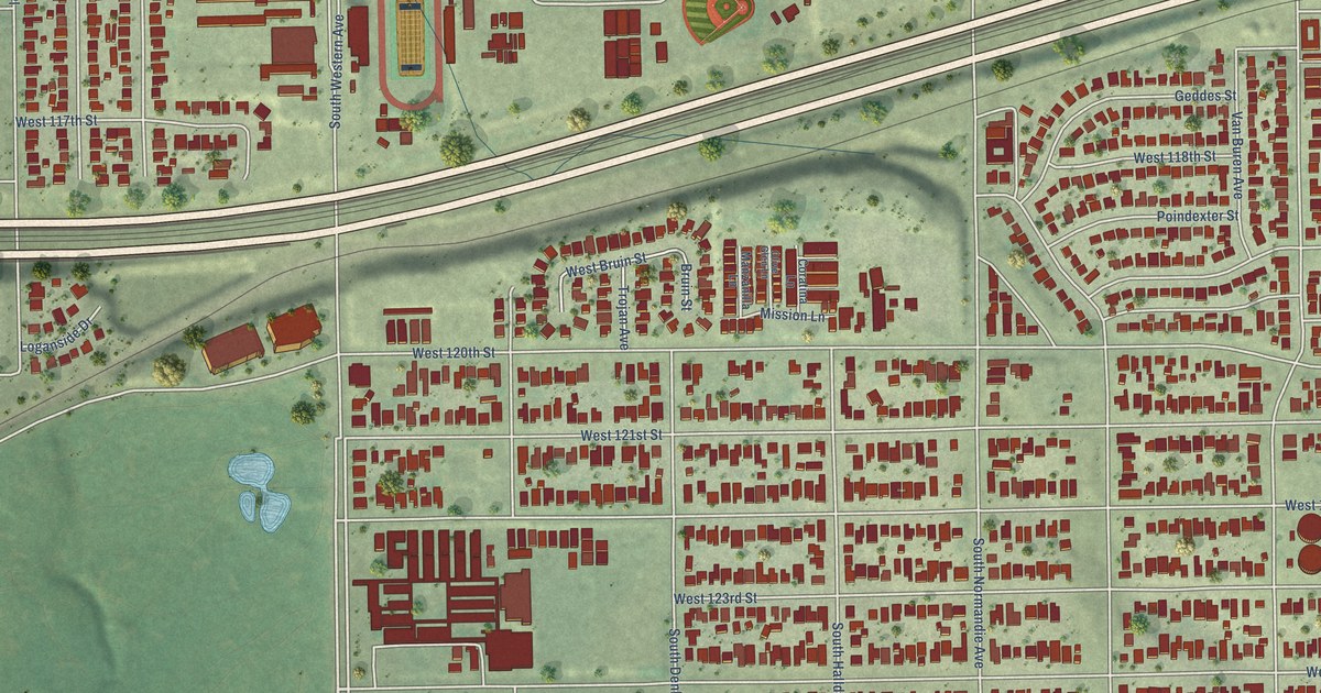
A detailed map of West Athens, California, showing every building in its true location, the roads by name, and shaded topographical relief.
Read More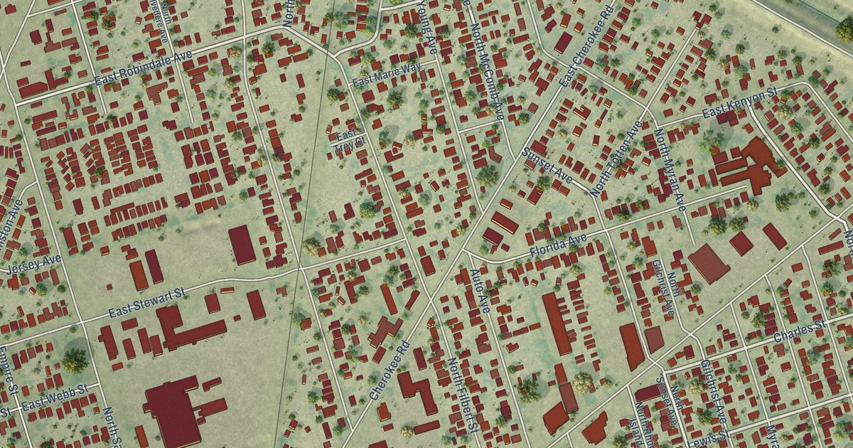
A detailed map of August, California, showing every building in its true location, the roads by name, and shaded topographical relief.
Read More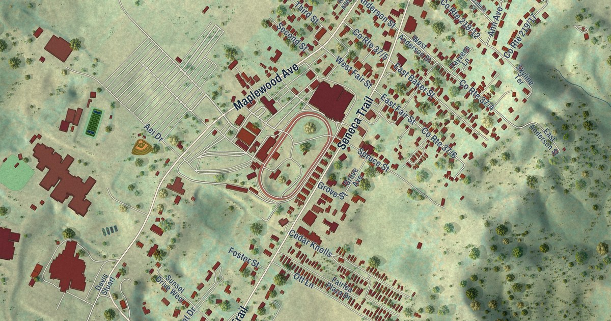
A detailed map of Fairlea, West Virginia, showing every building in its true location, the roads by name, and shaded topographical relief.
Read More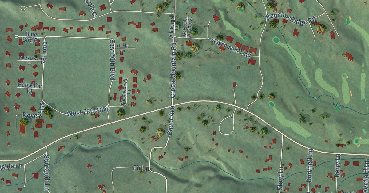
A detailed map of Boulder Canyon, South Dakota, showing every building in its true location, the roads by name, and shaded topographical relief.
Read More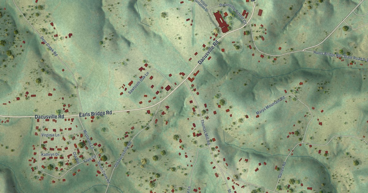
A detailed map of Dacusville, South Carolina, showing every building in its true location, the roads by name, and shaded topographical relief.
Read More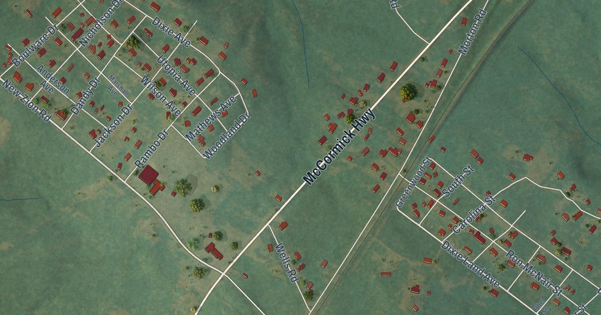
A detailed map of Promised Land, South Carolina, showing every building in its true location, the roads by name, and shaded topographical relief.
Read More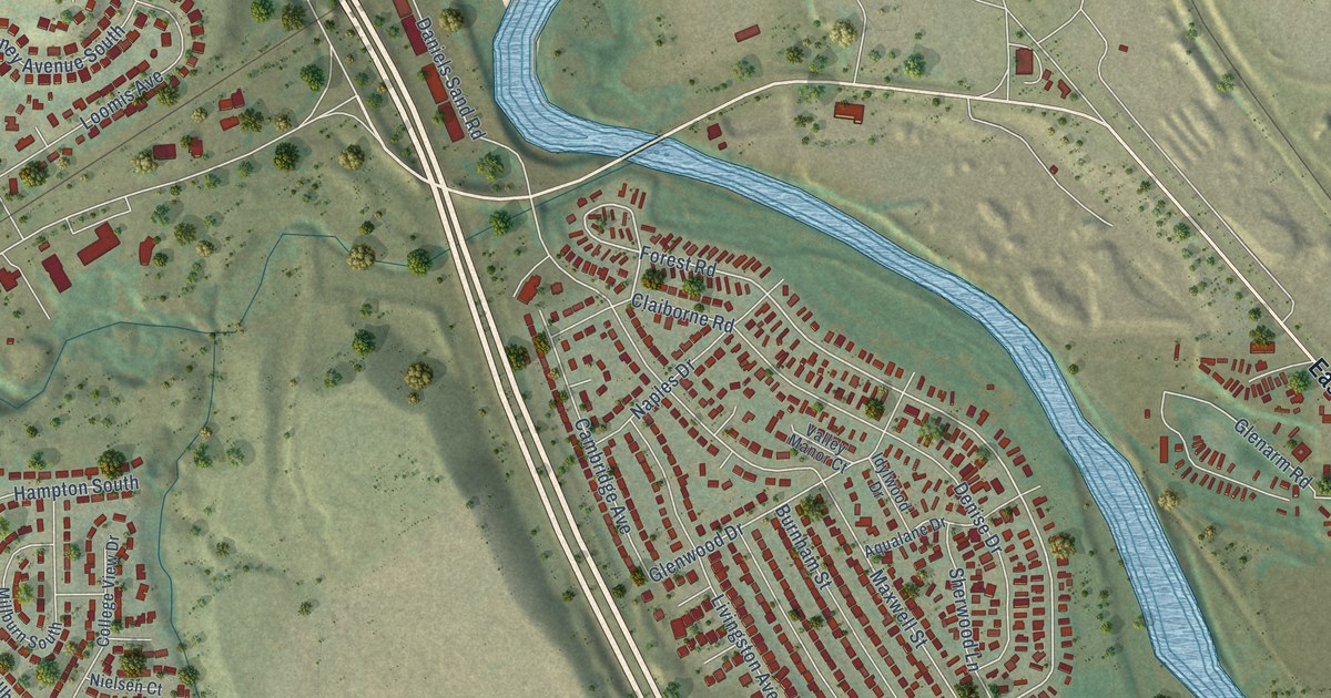
A detailed map of Stratmoor, Colorado, showing every building in its true location, the roads by name, and shaded topographical relief.
Read More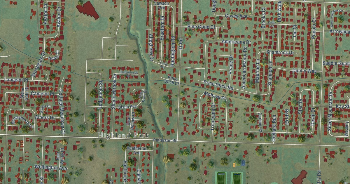
A detailed map of Fruitvale, Colorado, showing every building in its true location, the roads by name, and shaded topographical relief.
Read More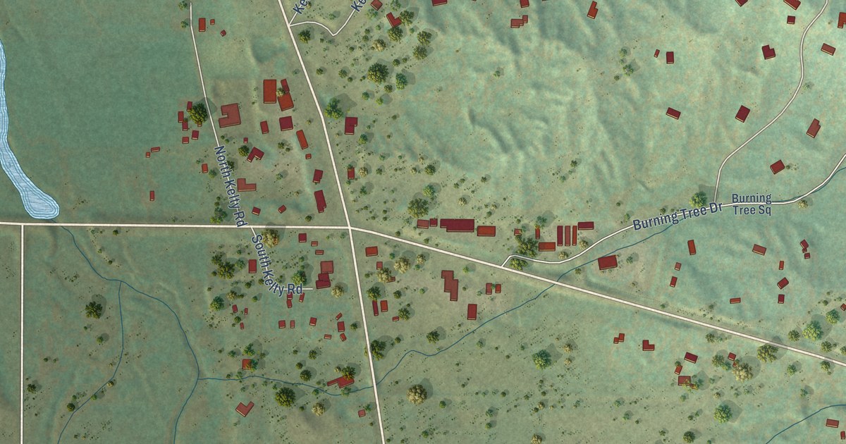
A detailed map of Franktown, Colorado, showing every building in its true location, the roads by name, and shaded topographical relief.
Read More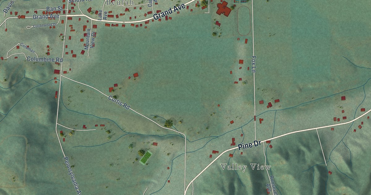
A detailed map of Beulah Valley, Colorado, showing every building in its true location, the roads by name, and shaded topographical relief.
Read More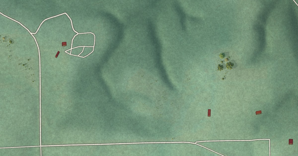
A detailed map of Old Eucha, Oklahoma, showing every building in its true location, the roads by name, and shaded topographical relief.
Read More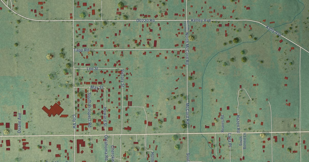
A detailed map of McCord, Oklahoma, showing every building in its true location, the roads by name, and shaded topographical relief.
Read More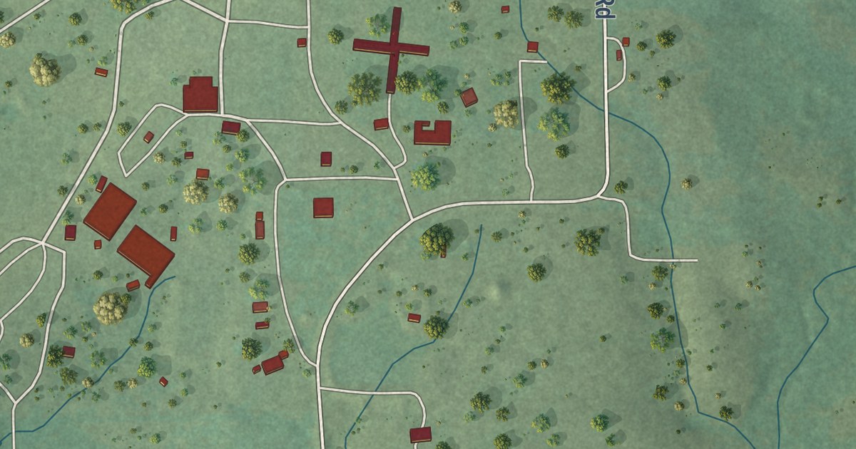
A detailed map of Tuskahoma, Oklahoma, showing every building in its true location, the roads by name, and shaded topographical relief.
Read More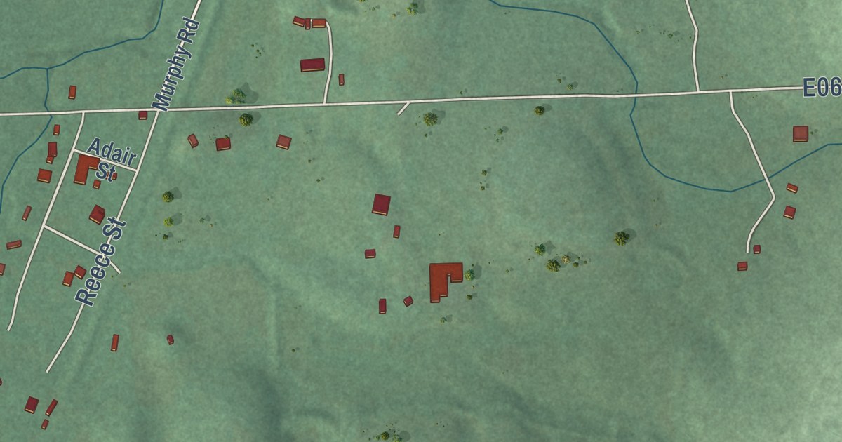
A detailed map of Murphy, Oklahoma, showing every building in its true location, the roads by name, and shaded topographical relief.
Read More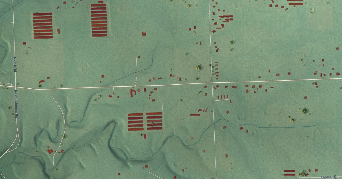
A detailed map of Old Green, Oklahoma, showing every building in its true location, the roads by name, and shaded topographical relief.
Read More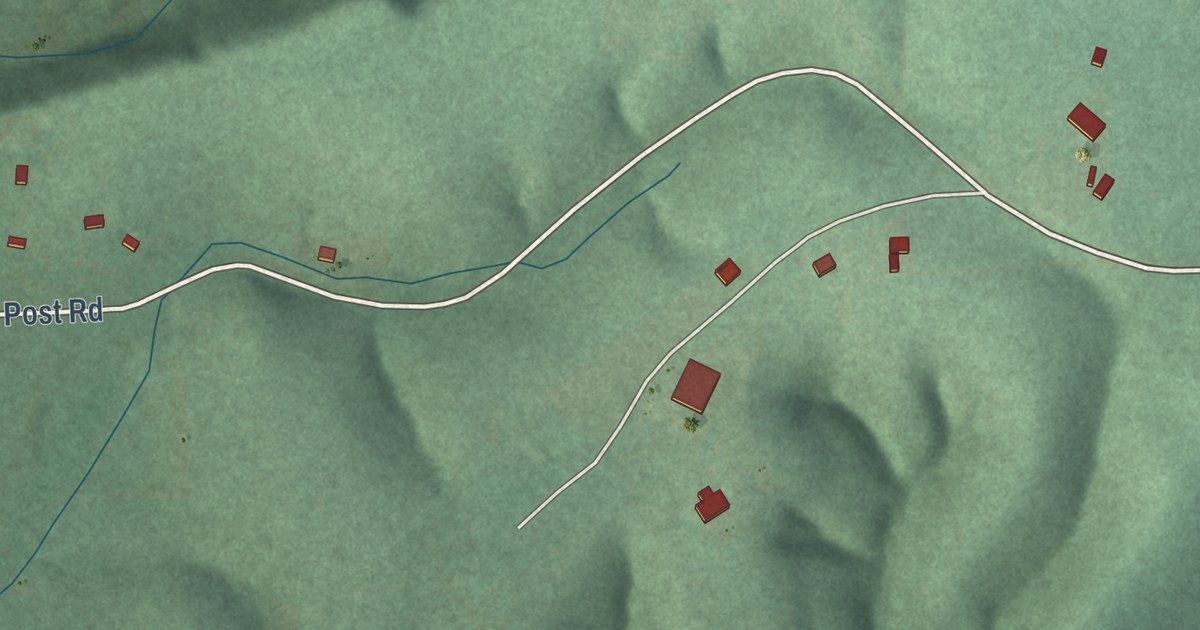
A detailed map of Iron Post, Oklahoma, showing every building in its true location, the roads by name, and shaded topographical relief.
Read More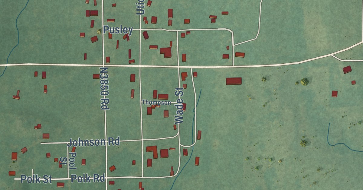
A detailed map of Albany, Oklahoma, showing every building in its true location, the roads by name, and shaded topographical relief.
Read More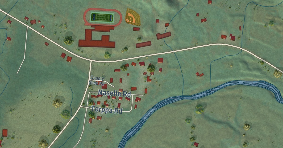
A detailed map of Naselle, Washington, showing every building in its true location, the roads by name, and shaded topographical relief.
Read More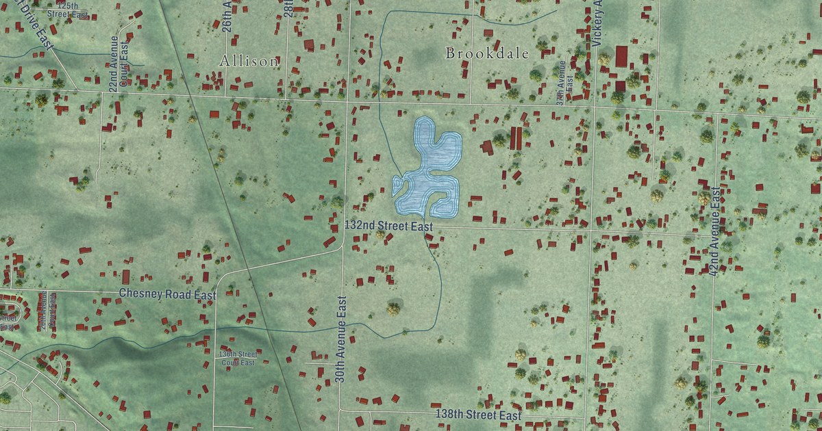
A detailed map of Clover Creek, Washington, showing every building in its true location, the roads by name, and shaded topographical relief.
Read More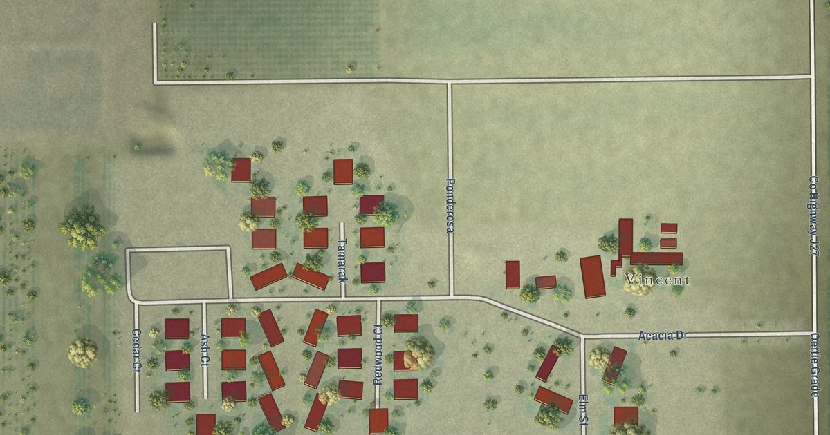
A detailed map of Woodville Farm Labor Camp, California, showing every building in its true location, the roads by name, and shaded topographical relief.
Read More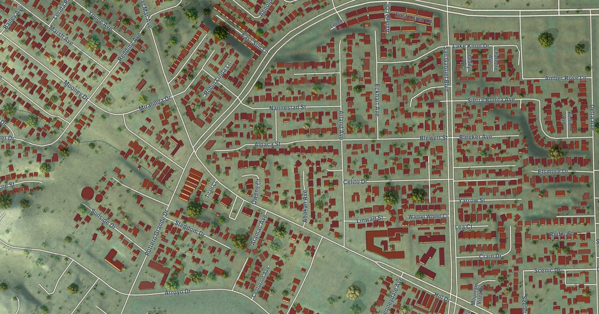
A detailed map of South San Gabriel, California, showing every building in its true location, the roads by name, and shaded topographical relief.
Read More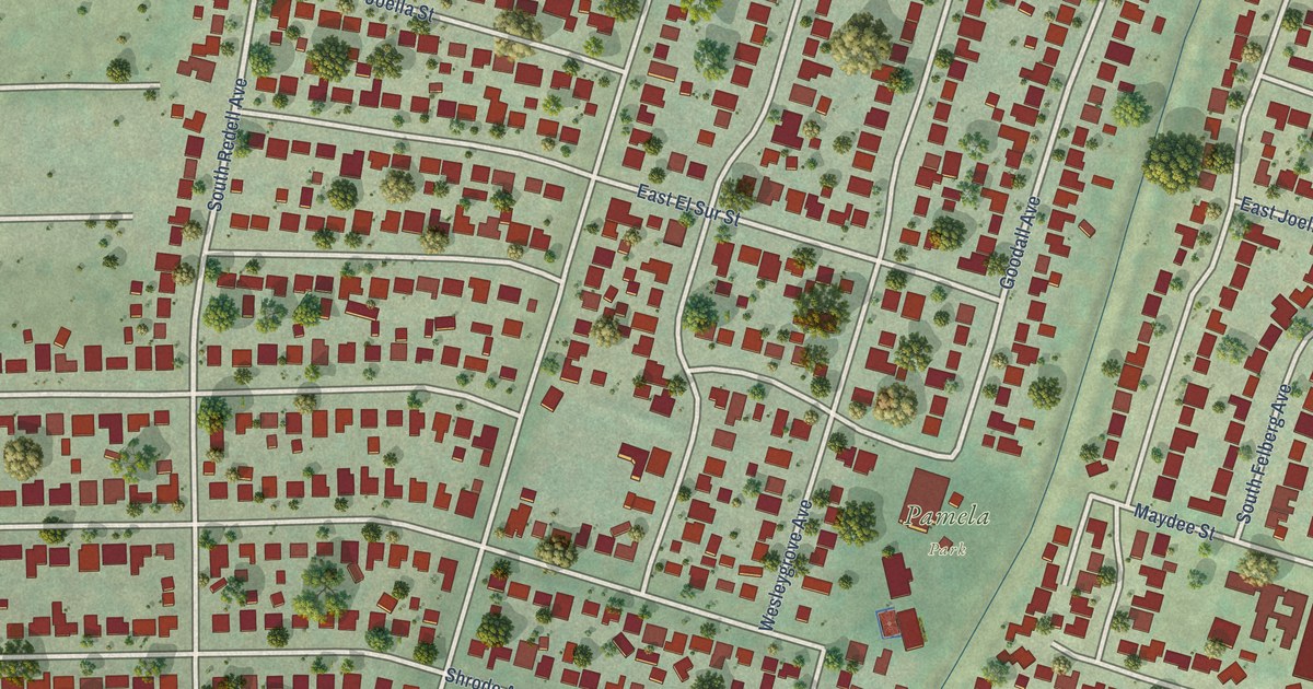
A detailed map of South Monrovia Island, California, showing every building in its true location, the roads by name, and shaded topographical relief.
Read More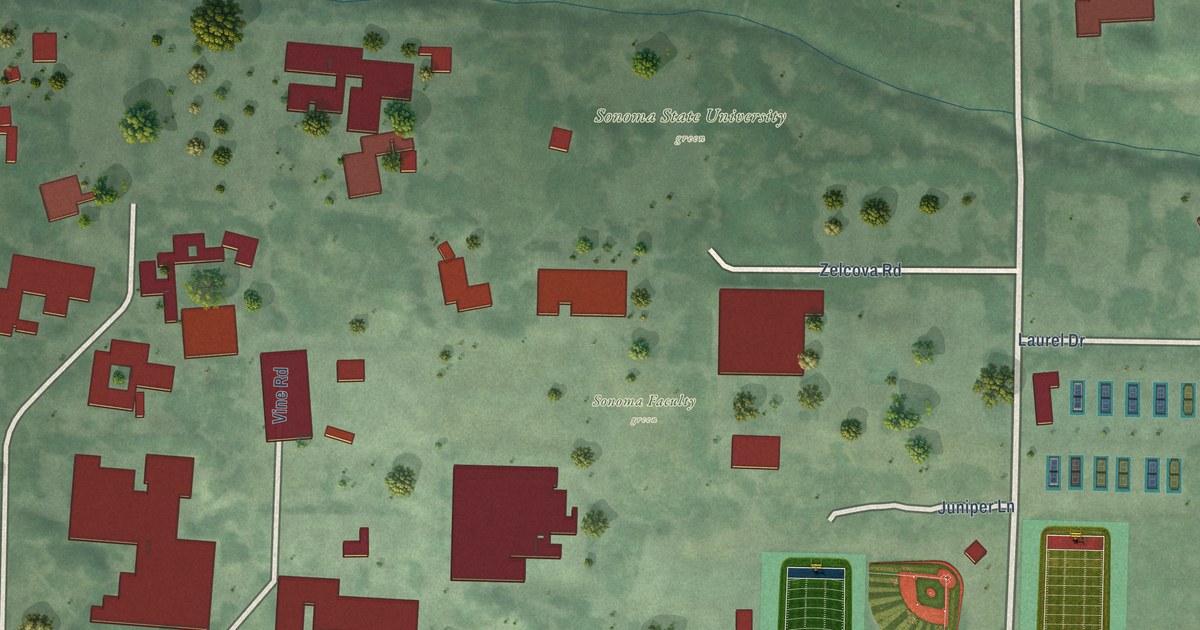
A detailed map of Sonoma State University, California, showing every building in its true location, the roads by name, and shaded topographical relief.
Read More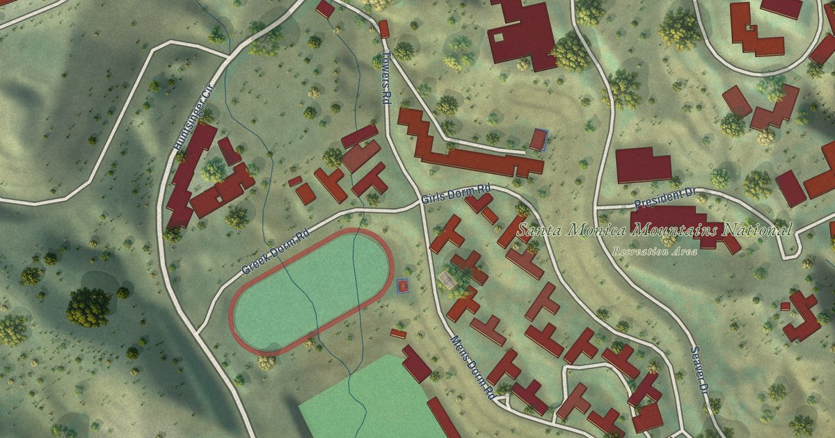
A detailed map of Pepperdine University, California, showing every building in its true location, the roads by name, and shaded topographical relief.
Read More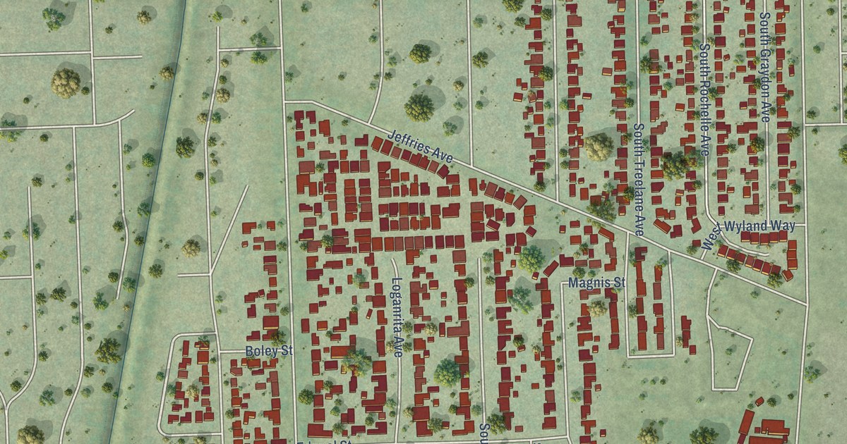
A detailed map of Mayflower Village, California, showing every building in its true location, the roads by name, and shaded topographical relief.
Read More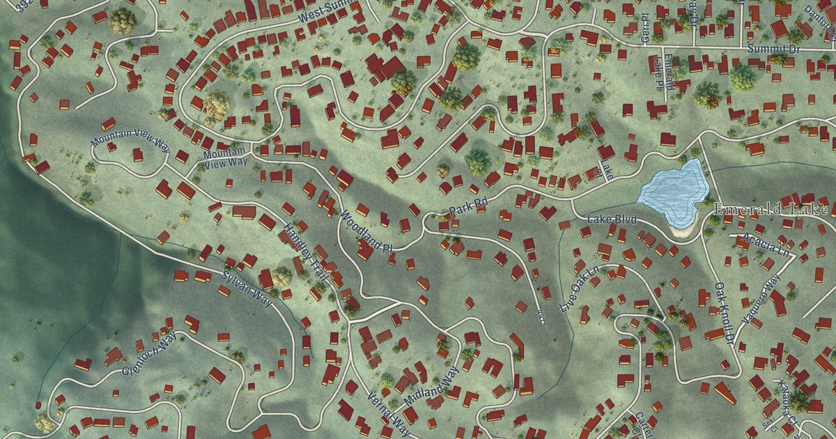
A detailed map of Emerald Lake Hills, California, showing every building in its true location, the roads by name, and shaded topographical relief.
Read More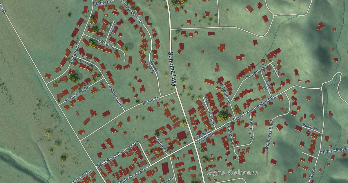
A detailed map of Fetters Hot Springs-Agua Caliente, California, showing every building in its true location, the roads by name, and shaded topographical relief.
Read More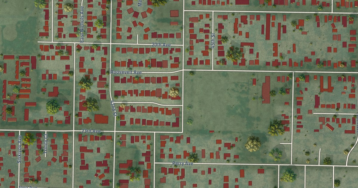
A detailed map of Fruitridge Pocket, California, showing every building in its true location, the roads by name, and shaded topographical relief.
Read More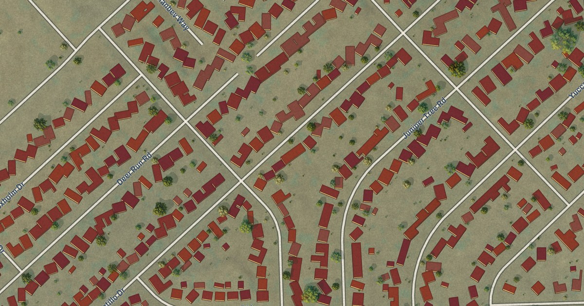
A detailed map of Desert View Highlands, California, showing every building in its true location, the roads by name, and shaded topographical relief.
Read More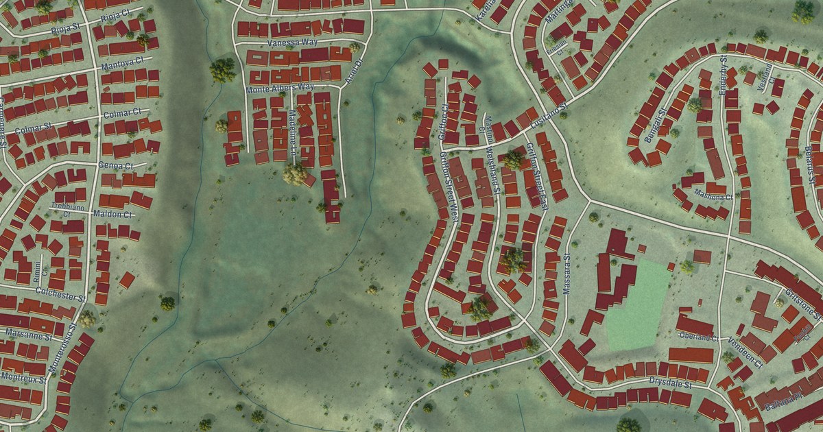
A detailed map of Camino Tassajara, California, showing every building in its true location, the roads by name, and shaded topographical relief.
Read More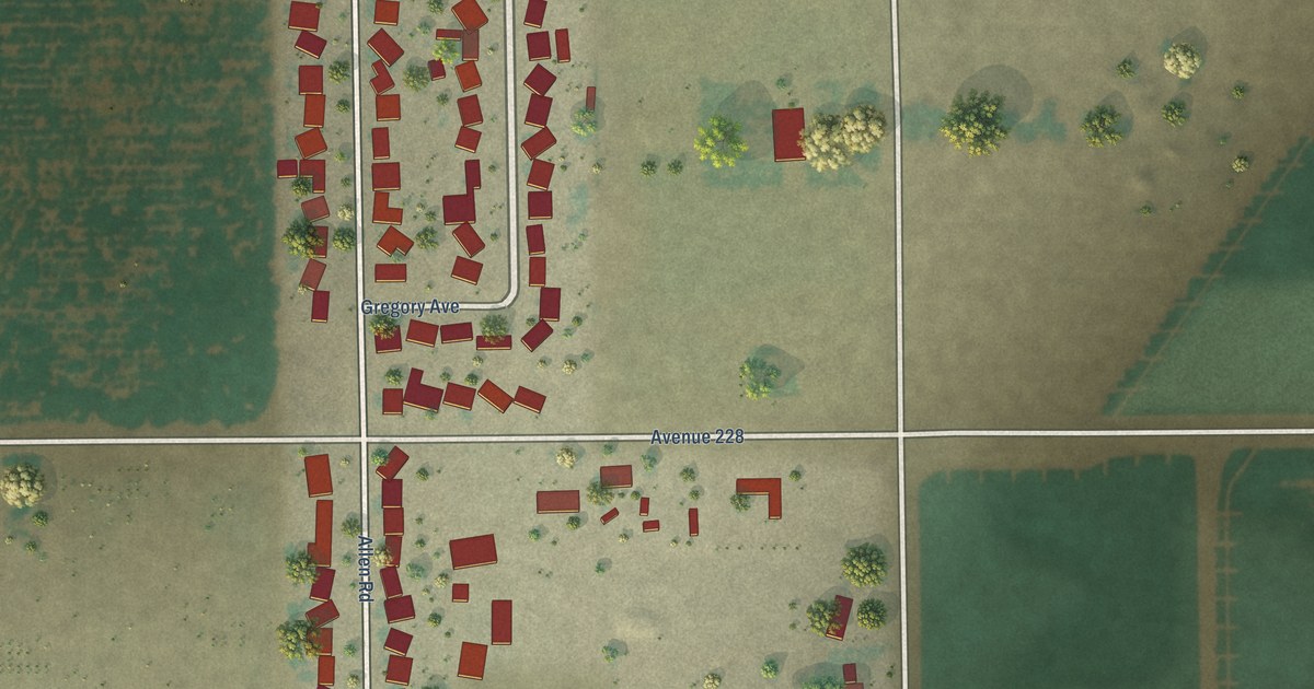
A detailed map of East Tulare Villa, California, showing every building in its true location, the roads by name, and shaded topographical relief.
Read More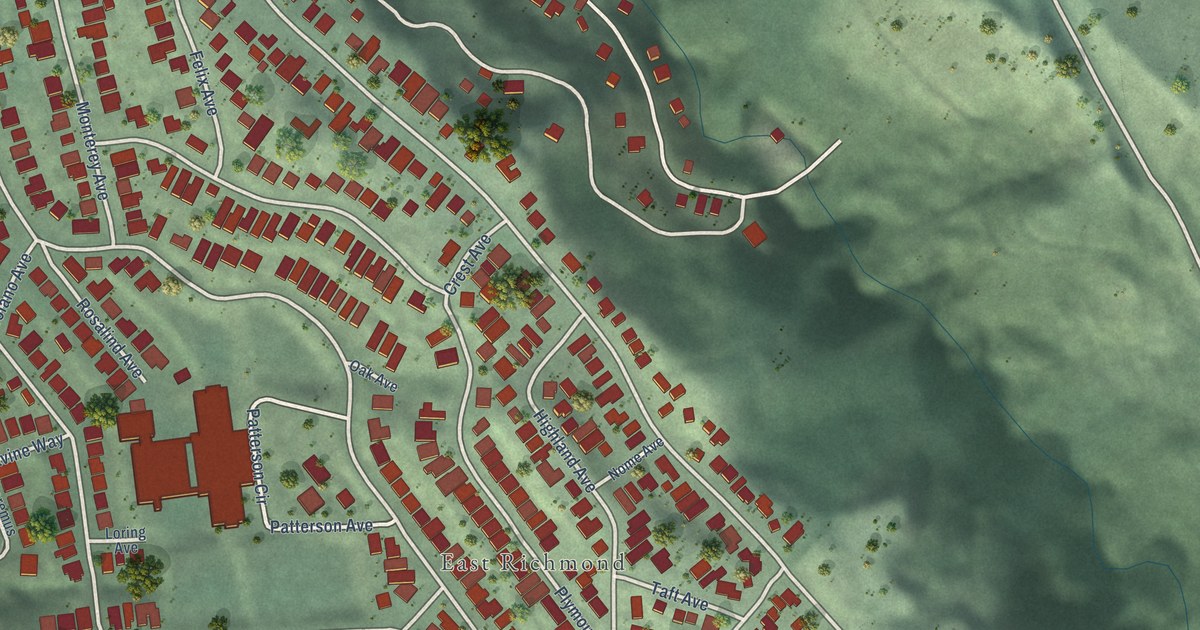
A detailed map of East Richmond Heights, California, showing every building in its true location, the roads by name, and shaded topographical relief.
Read More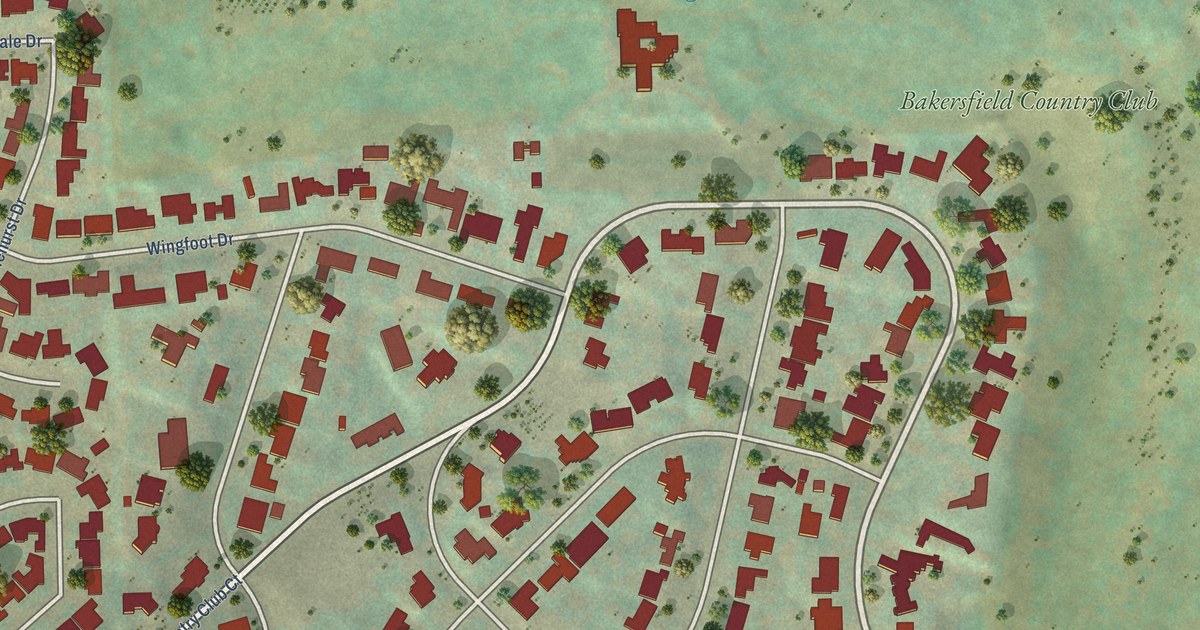
A detailed map of Bakersfield Country Club, California, showing every building in its true location, the roads by name, and shaded topographical relief.
Read More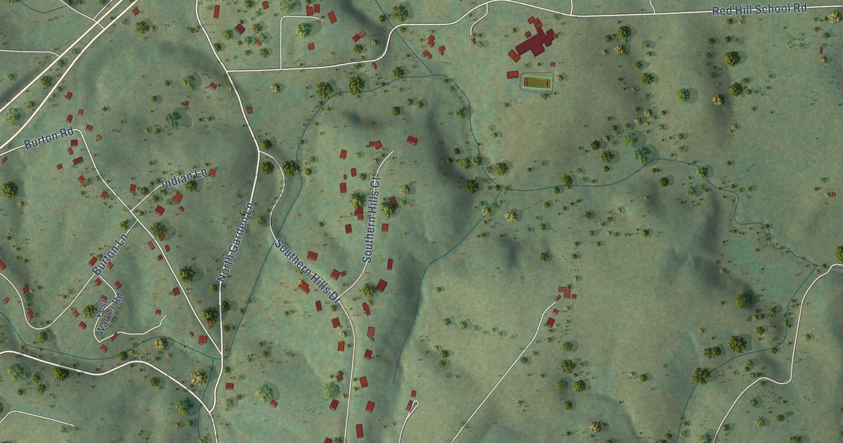
A detailed map of North Garden, Virginia, showing every building in its true location, the roads by name, and shaded topographical relief.
Read More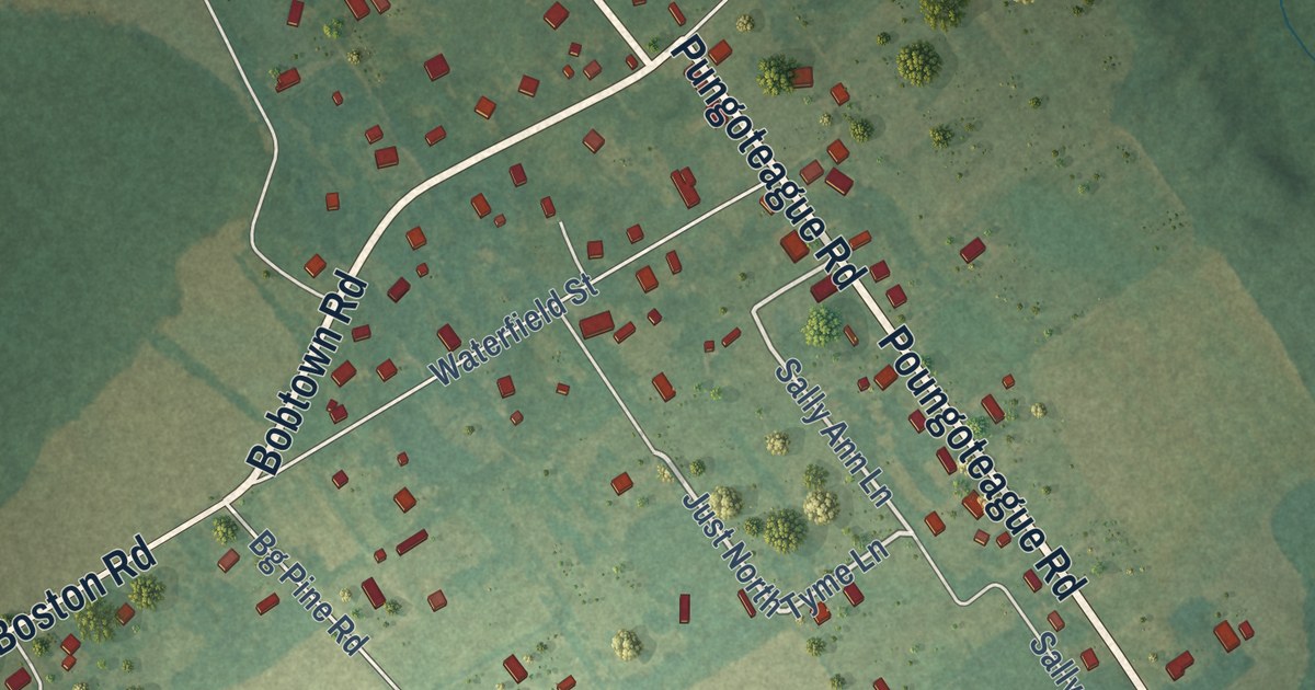
A detailed map of Pungoteague, Virginia, showing every building in its true location, the roads by name, and shaded topographical relief.
Read More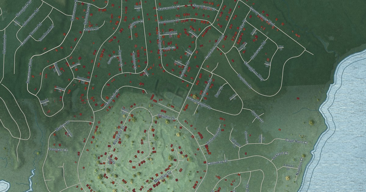
A detailed map of Captains Cove, Virginia, showing every building in its true location, the roads by name, and shaded topographical relief.
Read More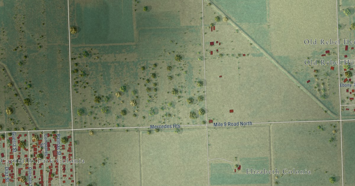
A detailed map of Heidelberg, Texas, showing every building in its true location, the roads by name, and shaded topographical relief.
Read More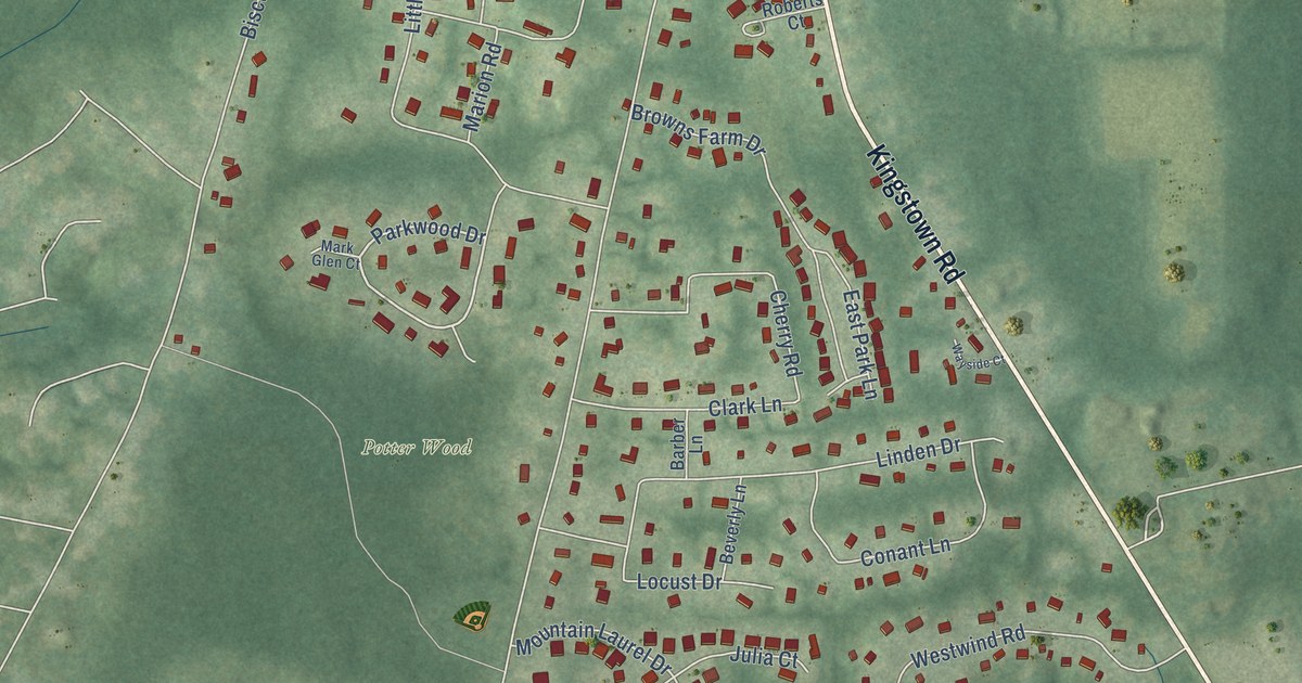
A detailed map of Kingston, Rhode Island, showing every building in its true location, the roads by name, and shaded topographical relief.
Read More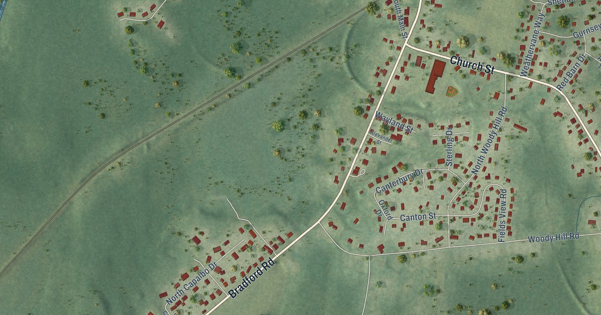
A detailed map of Bradford, Rhode Island, showing every building in its true location, the roads by name, and shaded topographical relief.
Read More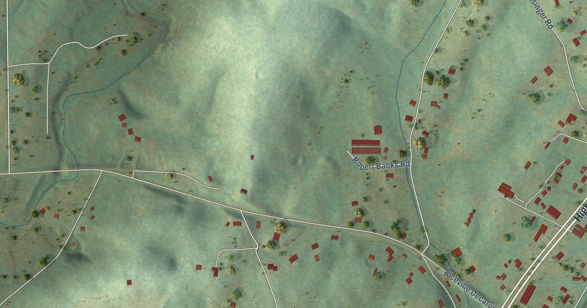
A detailed map of Riceville, Tennessee, showing every building in its true location, the roads by name, and shaded topographical relief.
Read More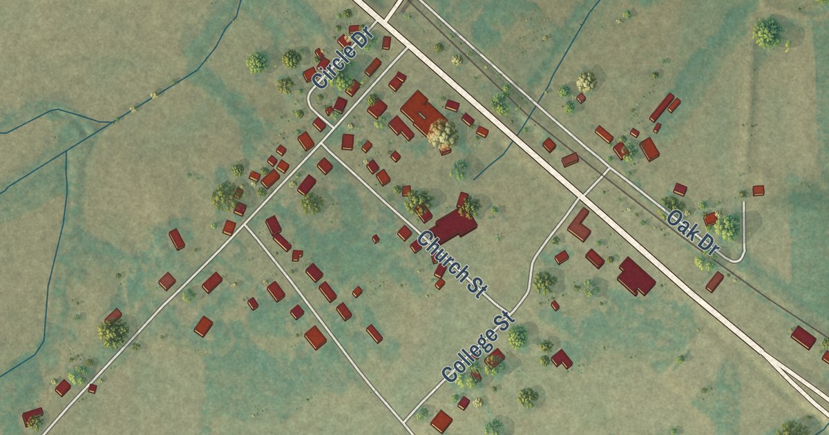
A detailed map of Pinson, Tennessee, showing every building in its true location, the roads by name, and shaded topographical relief.
Read More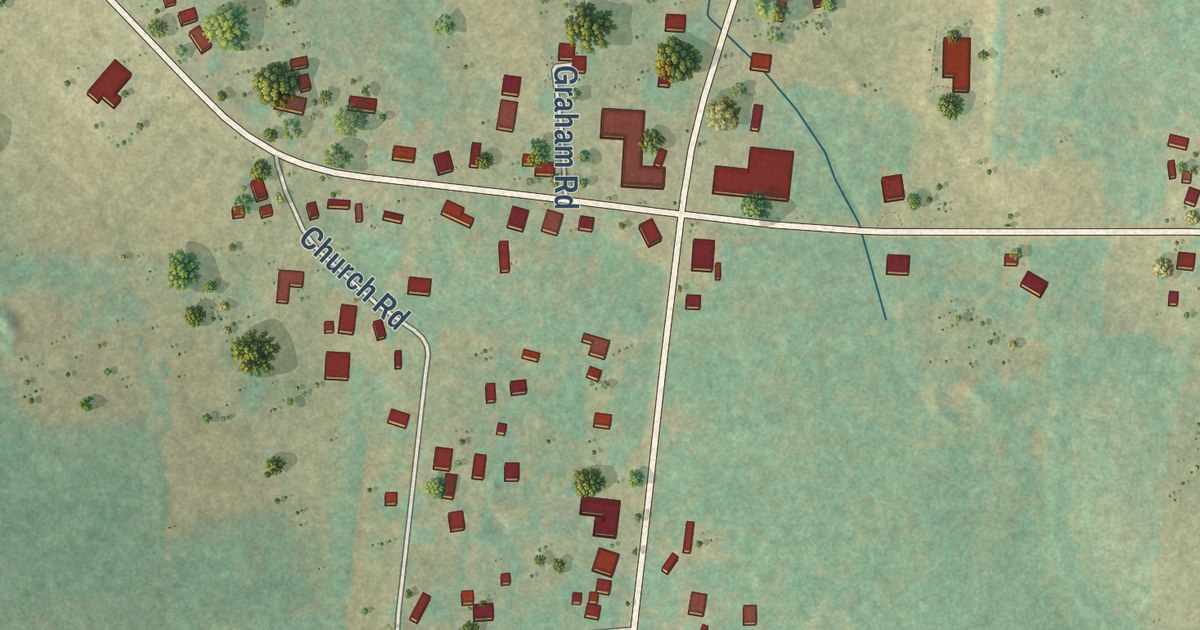
A detailed map of Taft, Tennessee, showing every building in its true location, the roads by name, and shaded topographical relief.
Read More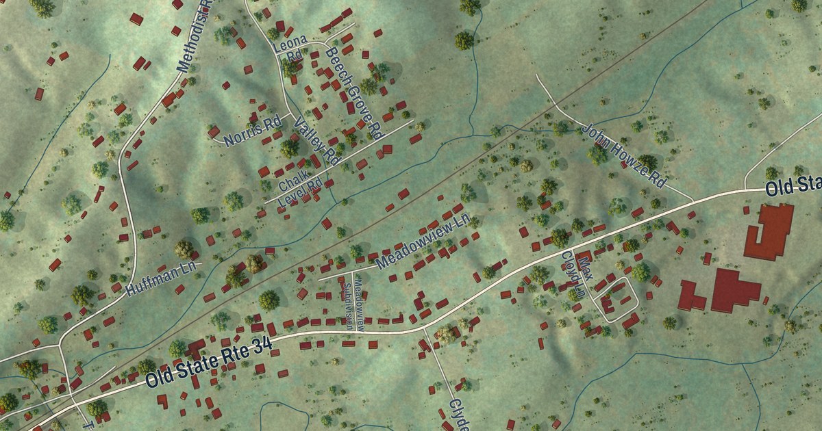
A detailed map of Telford, Tennessee, showing every building in its true location, the roads by name, and shaded topographical relief.
Read More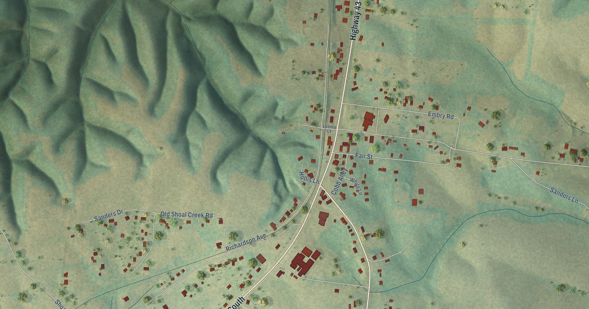
A detailed map of Leoma, Tennessee, showing every building in its true location, the roads by name, and shaded topographical relief.
Read More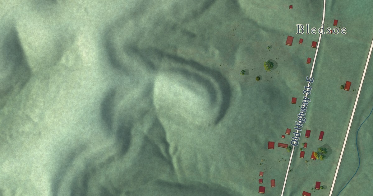
A detailed map of Bransford, Tennessee, showing every building in its true location, the roads by name, and shaded topographical relief.
Read More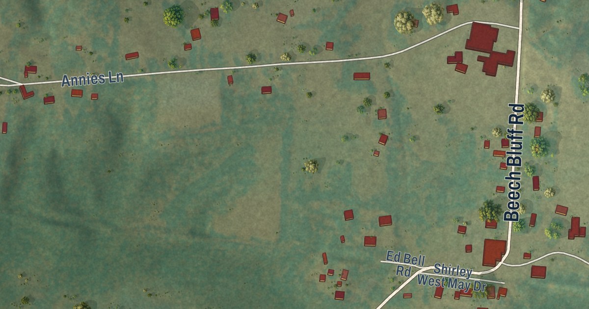
A detailed map of Beech Bluff, Tennessee, showing every building in its true location, the roads by name, and shaded topographical relief.
Read More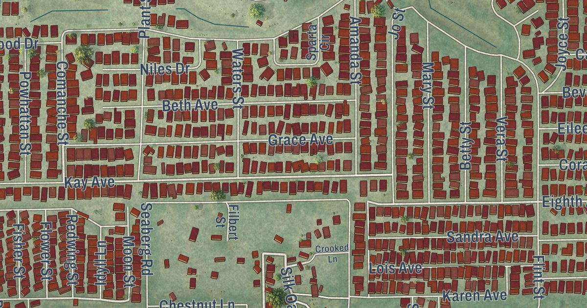
A detailed map of Zephyrhills West, Florida, showing every building in its true location, the roads by name, and shaded topographical relief.
Read More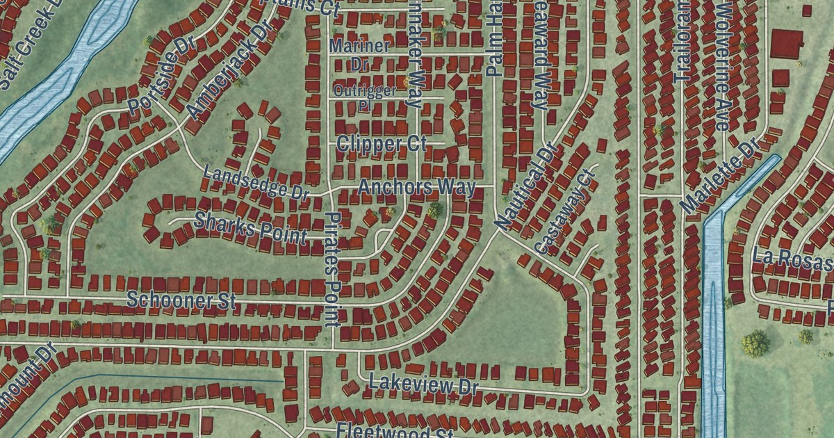
A detailed map of Warm Mineral Springs, Florida, showing every building in its true location, the roads by name, and shaded topographical relief.
Read More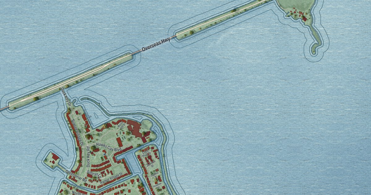
A detailed map of Duck Key, Florida, showing every building in its true location, the roads by name, and shaded topographical relief.
Read More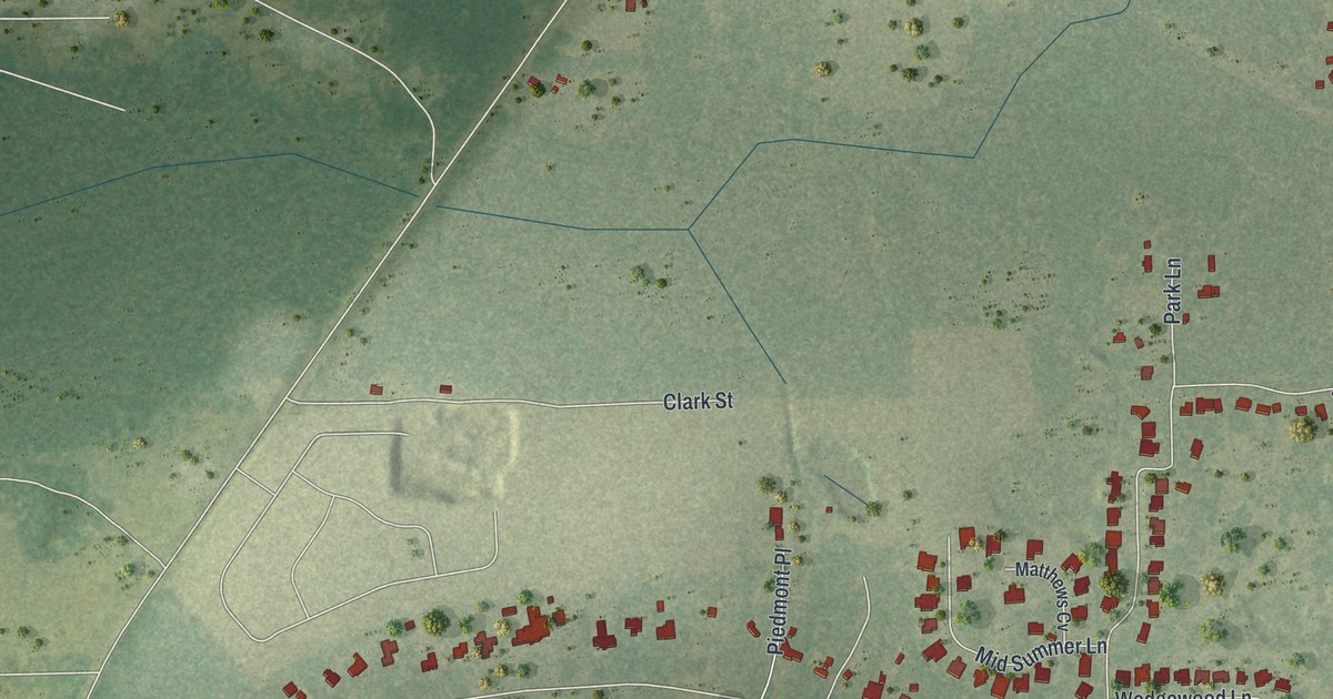
A detailed map of Silver Lake, Florida, showing every building in its true location, the roads by name, and shaded topographical relief.
Read More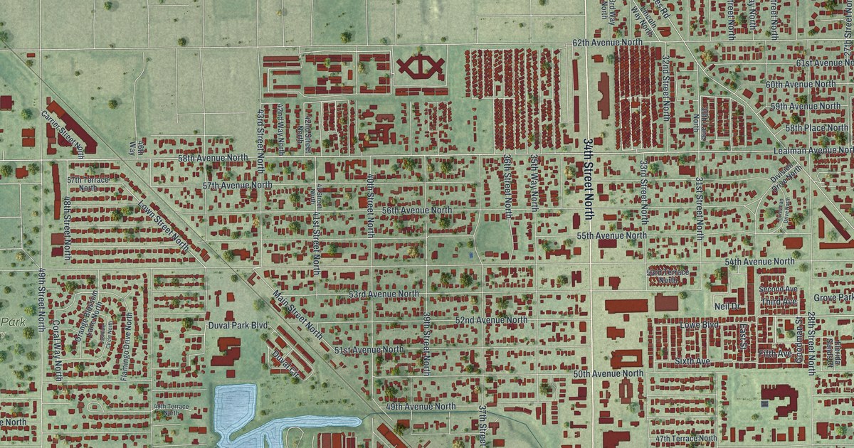
A detailed map of Lealman, Florida, showing every building in its true location, the roads by name, and shaded topographical relief.
Read More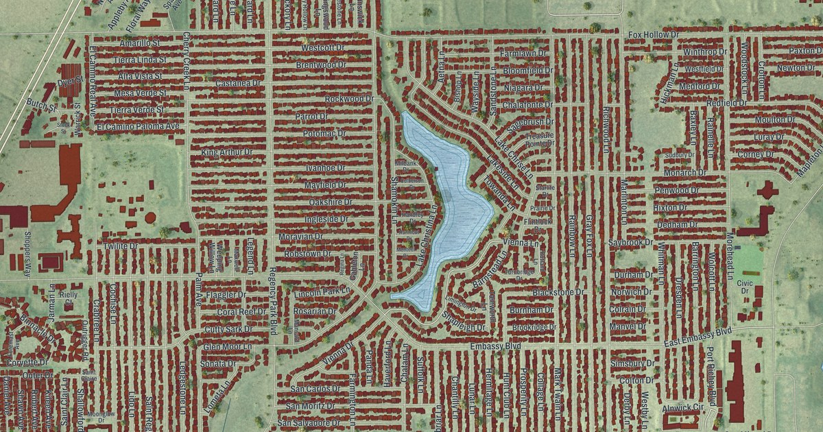
A detailed map of Jasmine Estates, Florida, showing every building in its true location, the roads by name, and shaded topographical relief.
Read More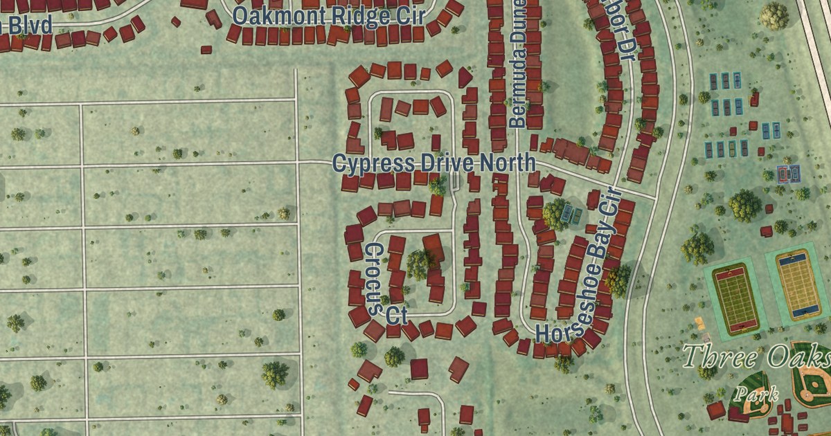
A detailed map of Three Oaks, Florida, showing every building in its true location, the roads by name, and shaded topographical relief.
Read More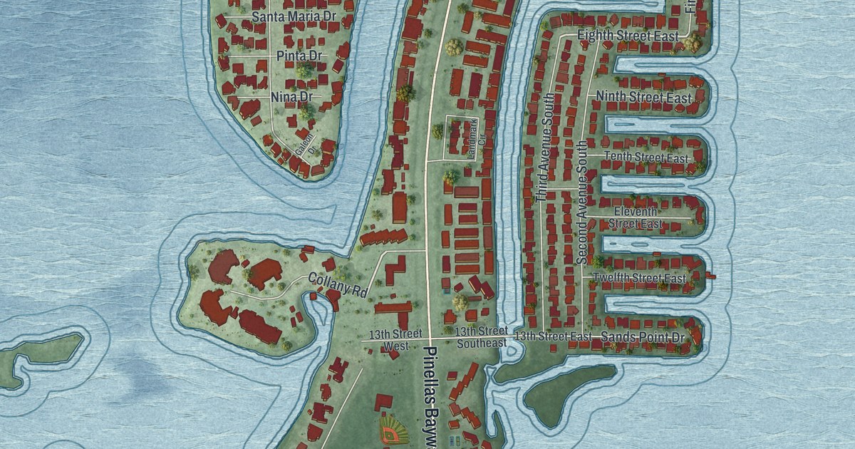
A detailed map of Tierra Verde, Florida, showing every building in its true location, the roads by name, and shaded topographical relief.
Read More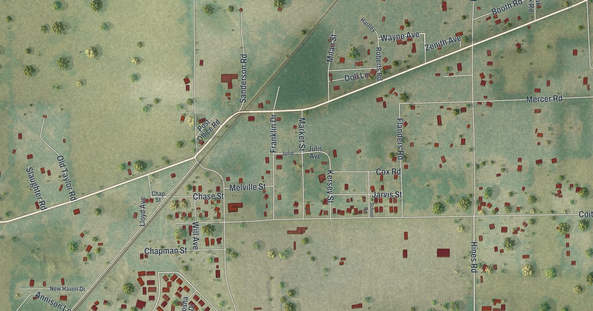
A detailed map of Lacoochee, Florida, showing every building in its true location, the roads by name, and shaded topographical relief.
Read More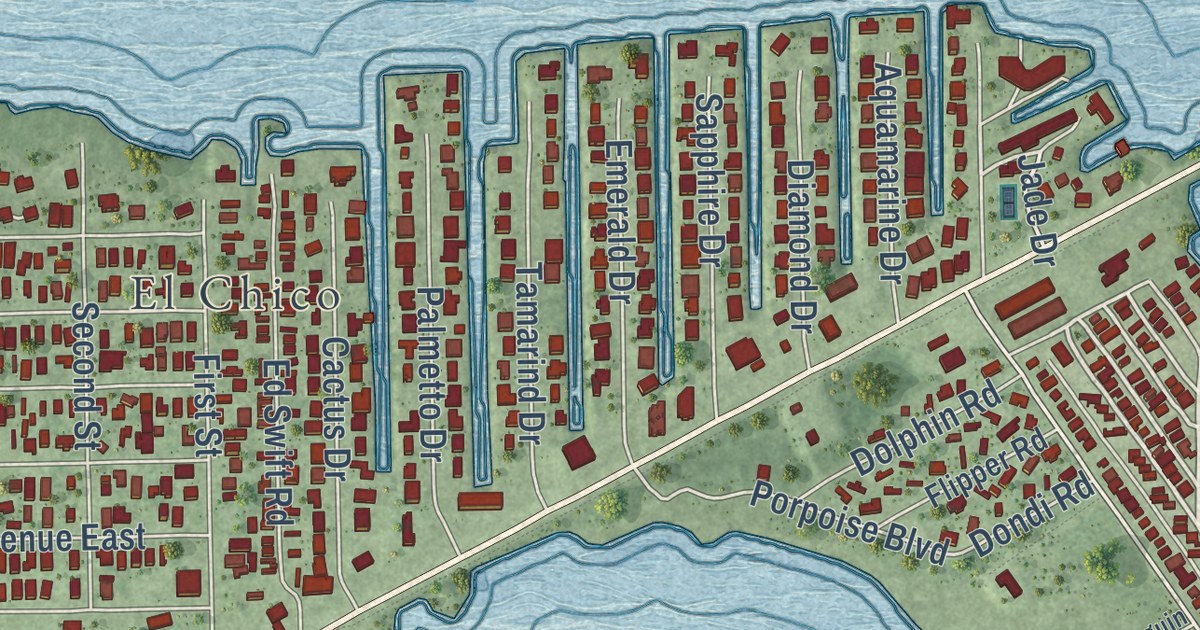
A detailed map of Big Coppitt Key, Florida, showing every building in its true location, the roads by name, and shaded topographical relief.
Read More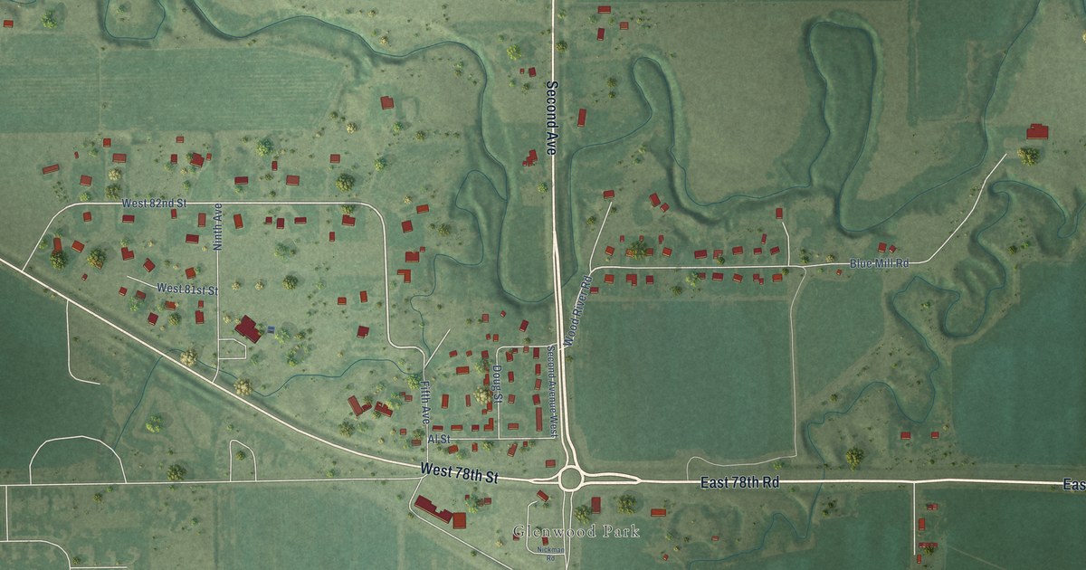
A detailed map of Glenwood, Nebraska, showing every building in its true location, the roads by name, and shaded topographical relief.
Read More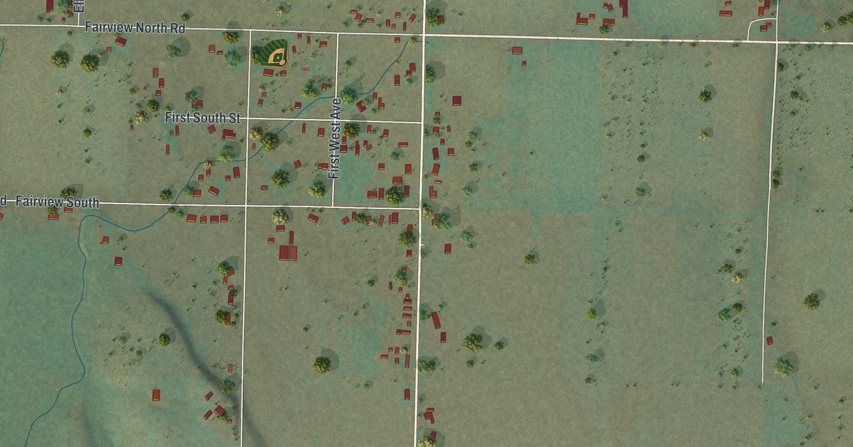
A detailed map of Fairview, Wyoming, showing every building in its true location, the roads by name, and shaded topographical relief.
Read More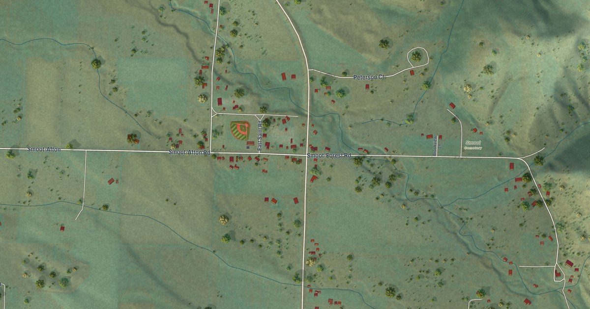
A detailed map of Smoot, Wyoming, showing every building in its true location, the roads by name, and shaded topographical relief.
Read More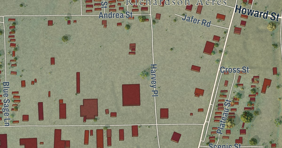
A detailed map of Hartrandt, Wyoming, showing every building in its true location, the roads by name, and shaded topographical relief.
Read More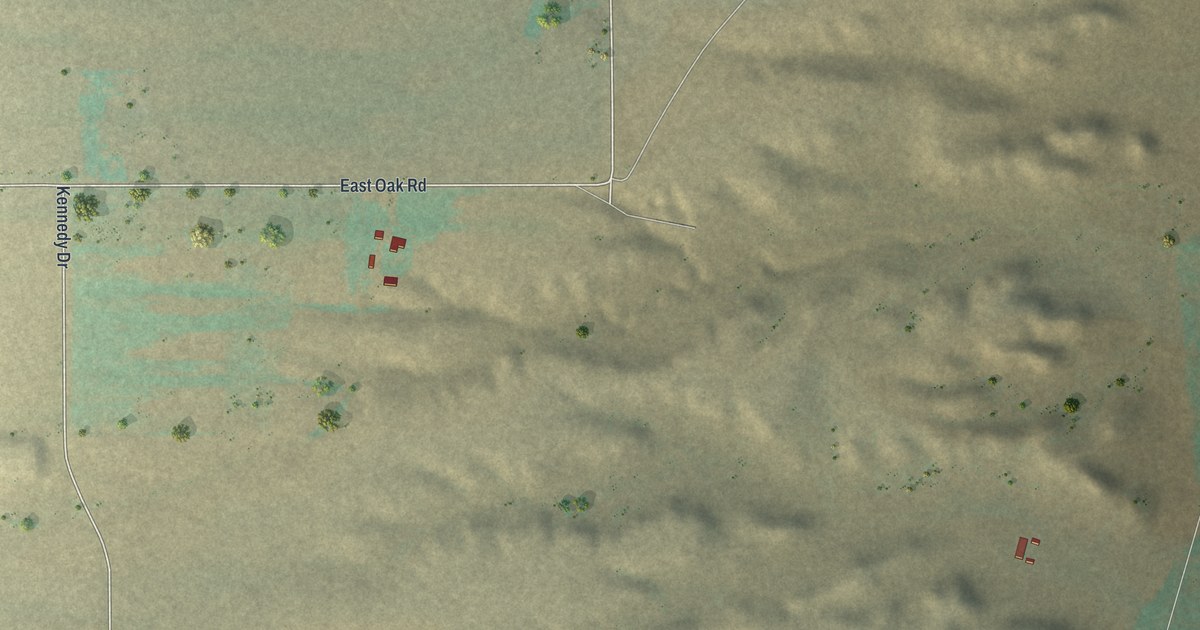
A detailed map of Chugcreek, Wyoming, showing every building in its true location, the roads by name, and shaded topographical relief.
Read More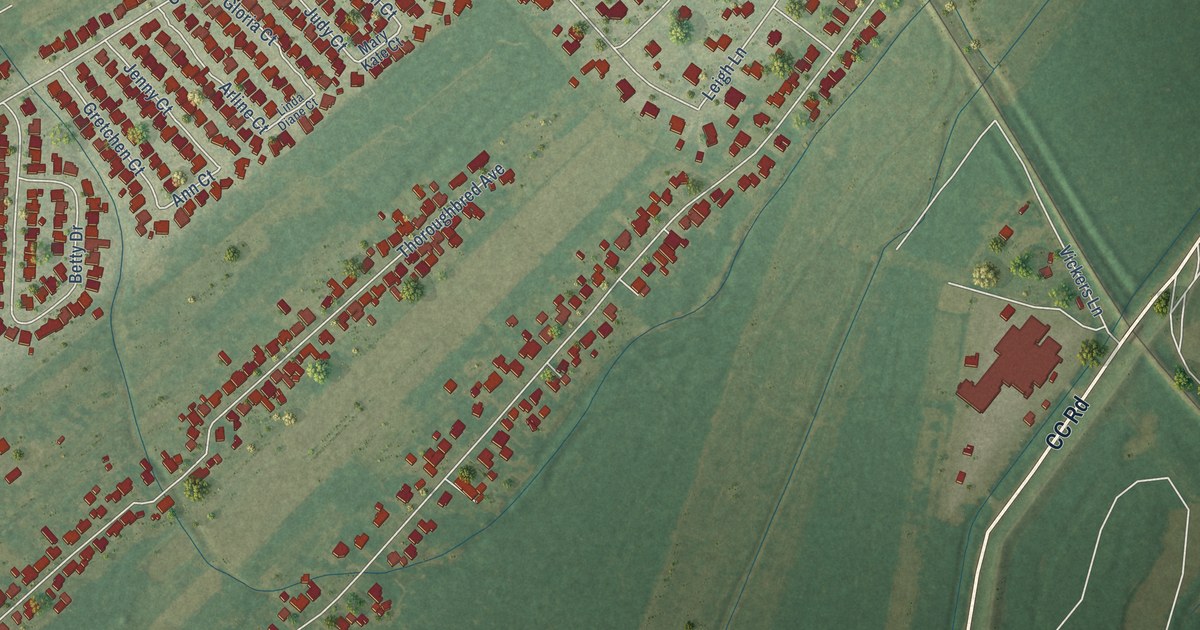
A detailed map of Montz, Louisiana, showing every building in its true location, the roads by name, and shaded topographical relief.
Read More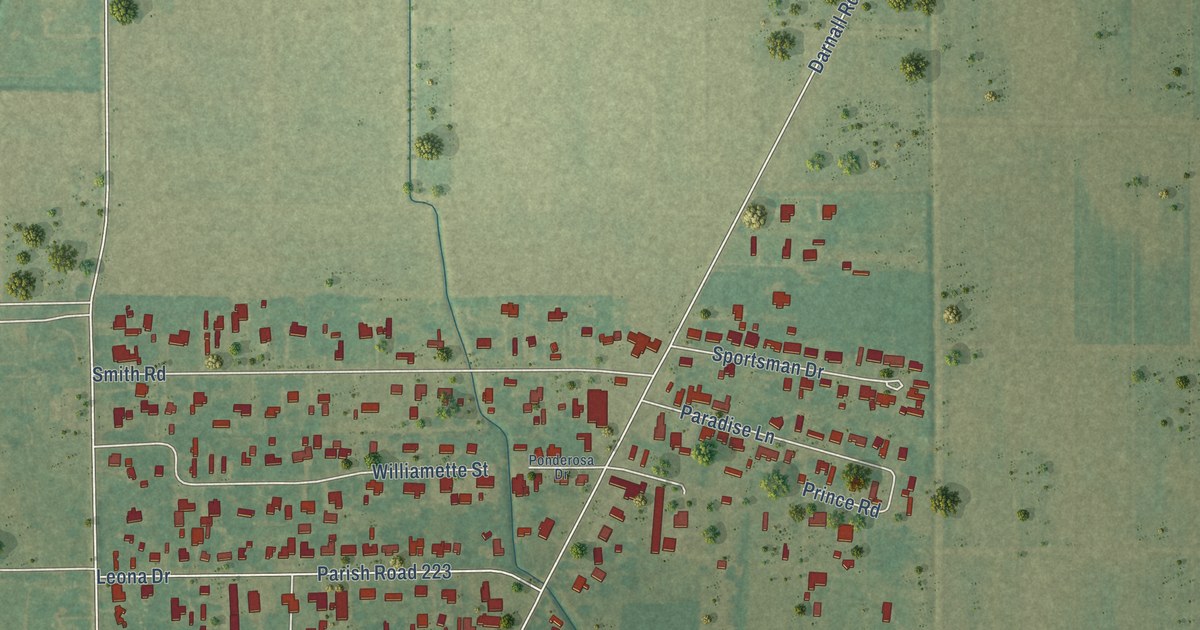
A detailed map of Lydia, Louisiana, showing every building in its true location, the roads by name, and shaded topographical relief.
Read More















