Detailed Map of Bigelow Corners, Connecticut
A detailed map of Bigelow Corners, Connecticut, showing every building in its true location, the roads by name, and shaded topographical relief.
Read More
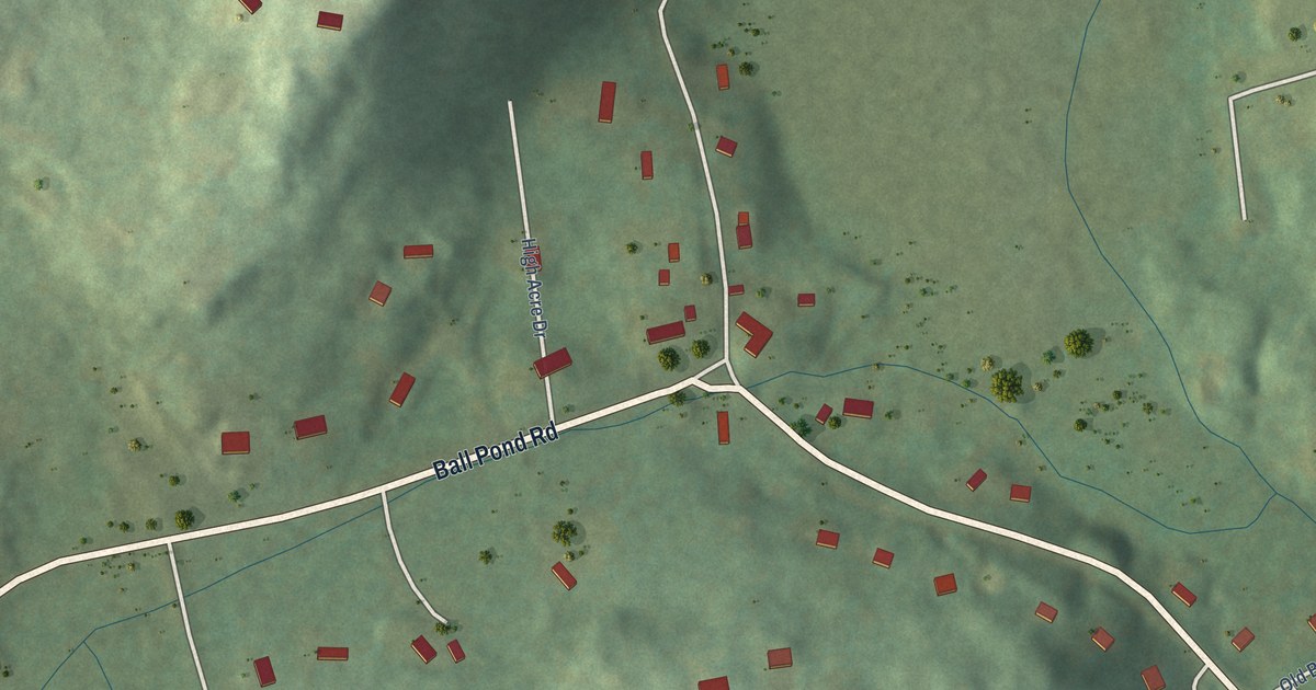
A detailed map of Bigelow Corners, Connecticut, showing every building in its true location, the roads by name, and shaded topographical relief.
Read More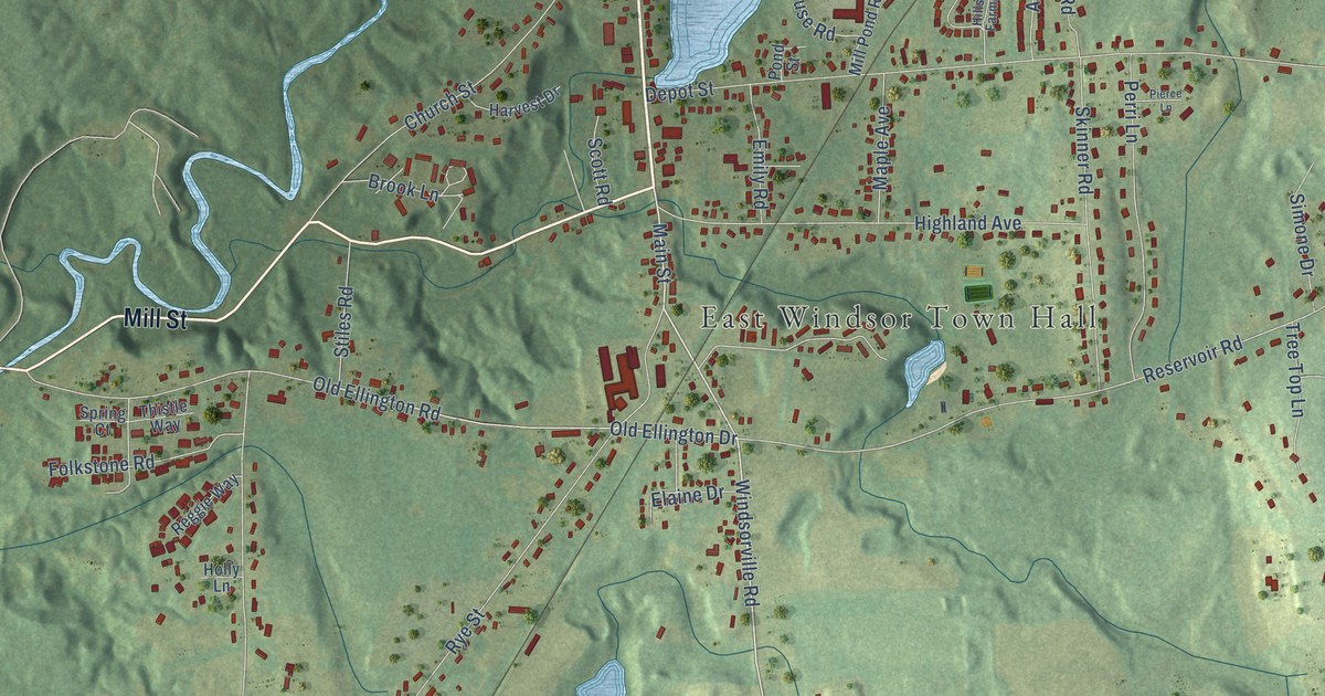
A detailed map of Broad Brook, Connecticut, showing every building in its true location, the roads by name, and shaded topographical relief.
Read More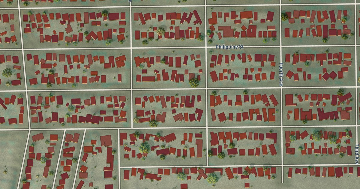
A detailed map of Taft Heights, California, showing every building in its true location, the roads by name, and shaded topographical relief.
Read More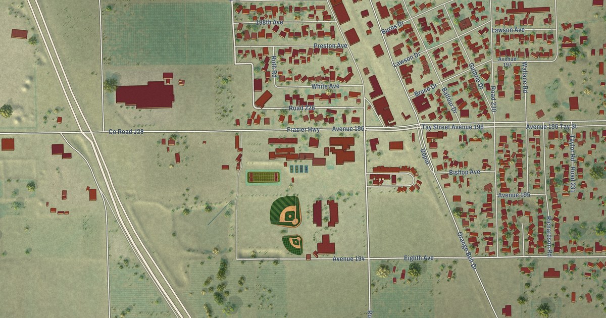
A detailed map of Strathmore, California, showing every building in its true location, the roads by name, and shaded topographical relief.
Read More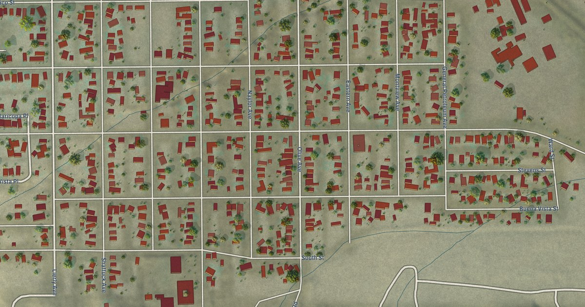
A detailed map of South Taft, California, showing every building in its true location, the roads by name, and shaded topographical relief.
Read More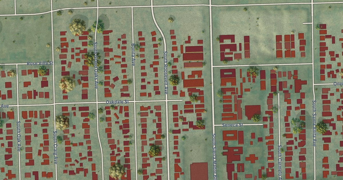
A detailed map of San Pasqual, California, showing every building in its true location, the roads by name, and shaded topographical relief.
Read More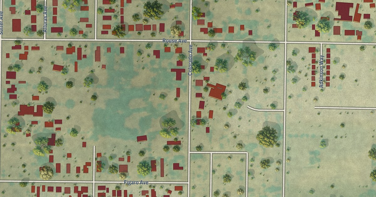
A detailed map of Rouse, California, showing every building in its true location, the roads by name, and shaded topographical relief.
Read More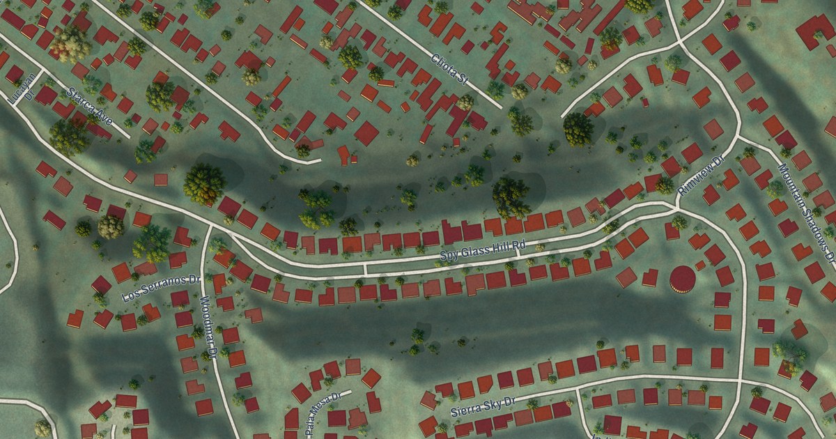
A detailed map of Rose Hills, California, showing every building in its true location, the roads by name, and shaded topographical relief.
Read More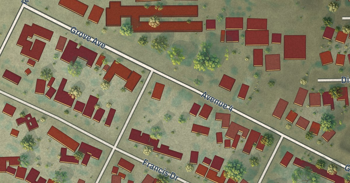
A detailed map of Richgrove, California, showing every building in its true location, the roads by name, and shaded topographical relief.
Read More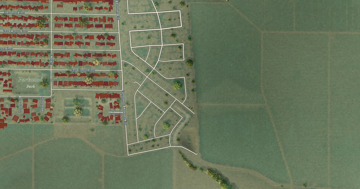
A detailed map of Parkwood, California, showing every building in its true location, the roads by name, and shaded topographical relief.
Read More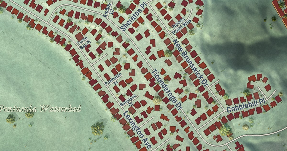
A detailed map of Highlands, California, showing every building in its true location, the roads by name, and shaded topographical relief.
Read More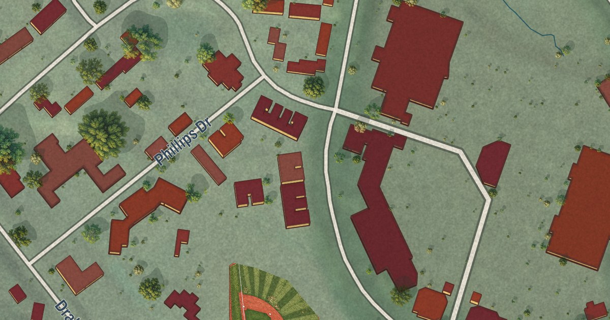
A detailed map of Marin City, California, showing every building in its true location, the roads by name, and shaded topographical relief.
Read More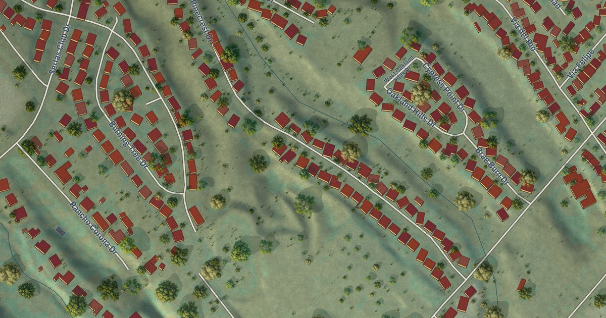
A detailed map of Coronita, California, showing every building in its true location, the roads by name, and shaded topographical relief.
Read More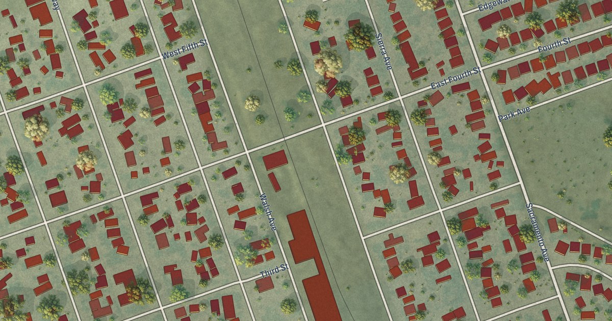
A detailed map of Hamilton City, California, showing every building in its true location, the roads by name, and shaded topographical relief.
Read More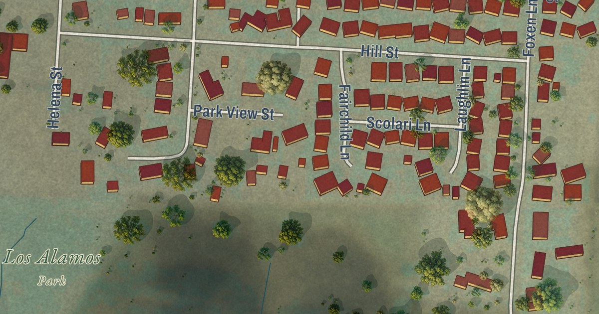
A detailed map of Los Alamos, California, showing every building in its true location, the roads by name, and shaded topographical relief.
Read More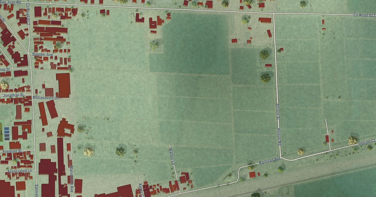
A detailed map of Pajaro, California, showing every building in its true location, the roads by name, and shaded topographical relief.
Read More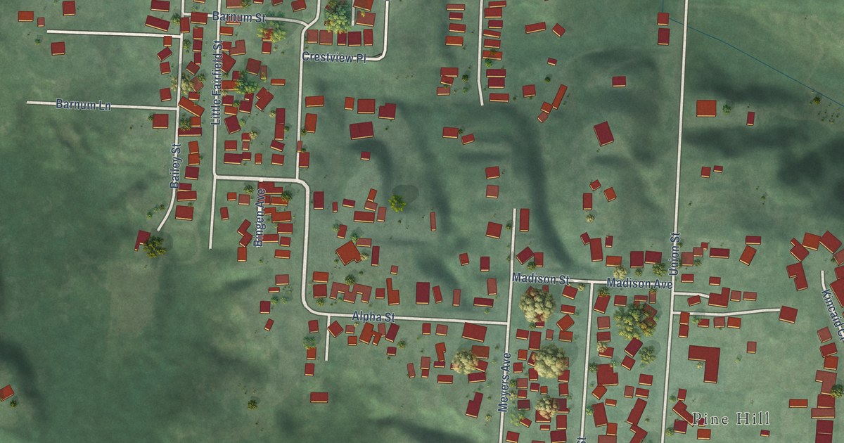
A detailed map of Bayview, California, showing every building in its true location, the roads by name, and shaded topographical relief.
Read More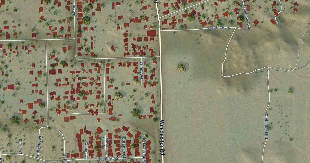
A detailed map of Green Acres, California, showing every building in its true location, the roads by name, and shaded topographical relief.
Read More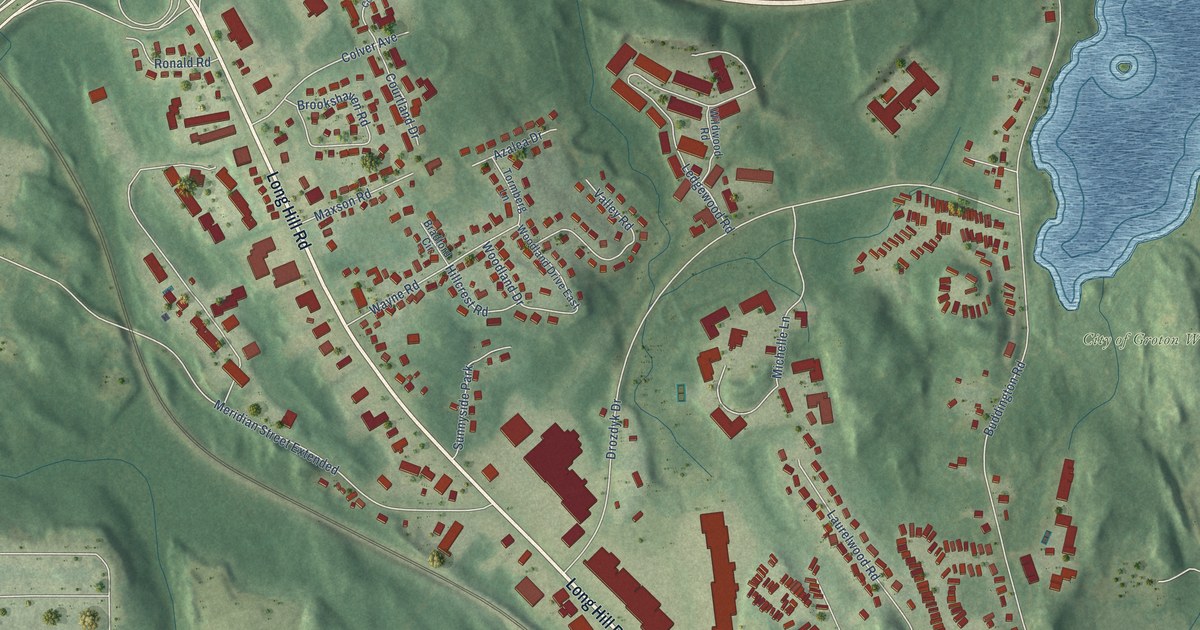
A detailed map of Long Hill, Connecticut, showing every building in its true location, the roads by name, and shaded topographical relief.
Read More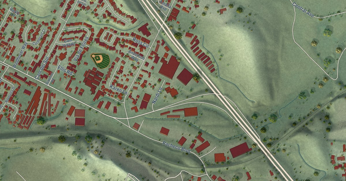
A detailed map of Vine Hill, California, showing every building in its true location, the roads by name, and shaded topographical relief.
Read More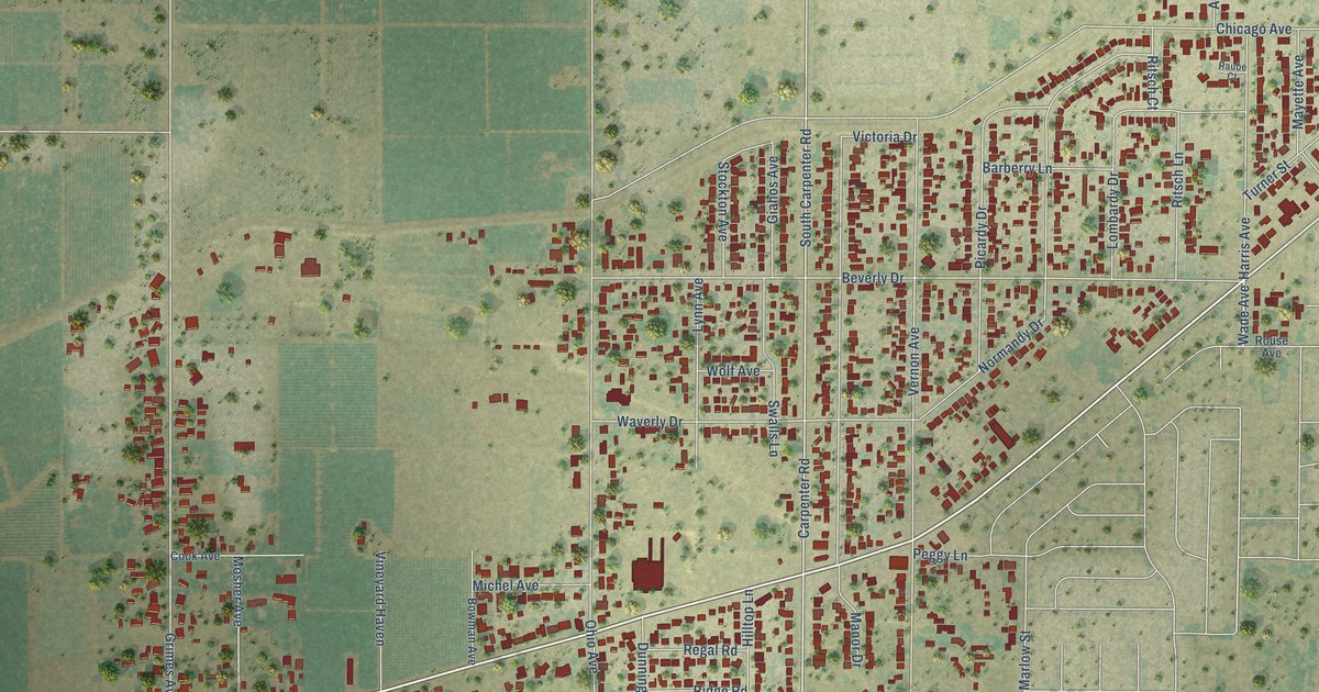
A detailed map of West Modesto, California, showing every building in its true location, the roads by name, and shaded topographical relief.
Read More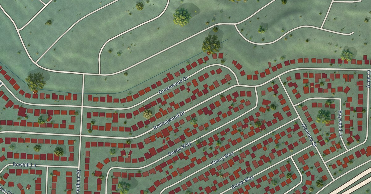
A detailed map of Rollingwood, California, showing every building in its true location, the roads by name, and shaded topographical relief.
Read More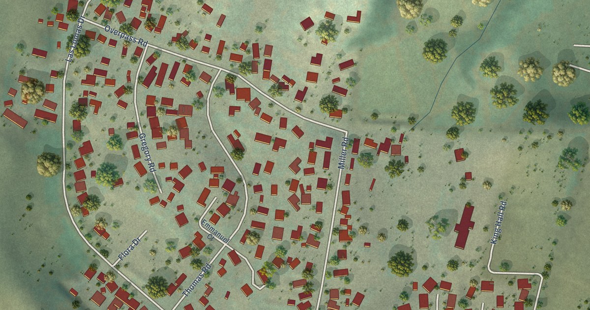
A detailed map of Las Lomas, California, showing every building in its true location, the roads by name, and shaded topographical relief.
Read More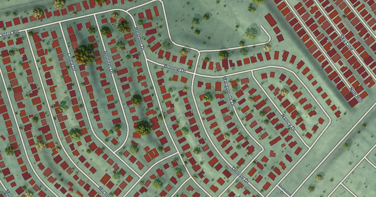
A detailed map of Montalvin Manor, California, showing every building in its true location, the roads by name, and shaded topographical relief.
Read More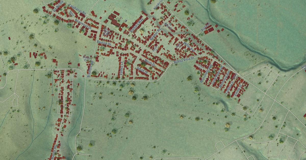
A detailed map of Freedom, California, showing every building in its true location, the roads by name, and shaded topographical relief.
Read More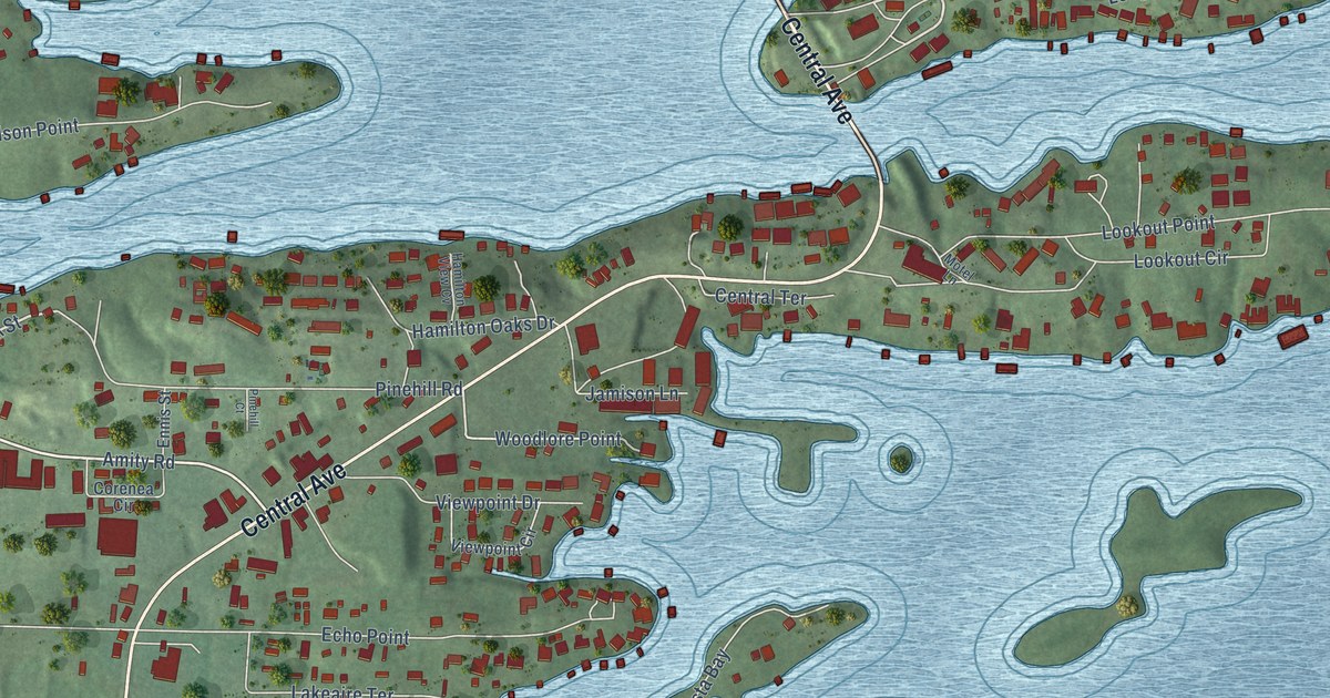
A detailed map of Lake Hamilton, Arkansas, showing every building in its true location, the roads by name, and shaded topographical relief.
Read More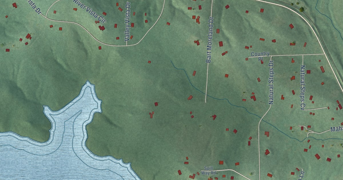
A detailed map of Natural Steps, Arkansas, showing every building in its true location, the roads by name, and shaded topographical relief.
Read More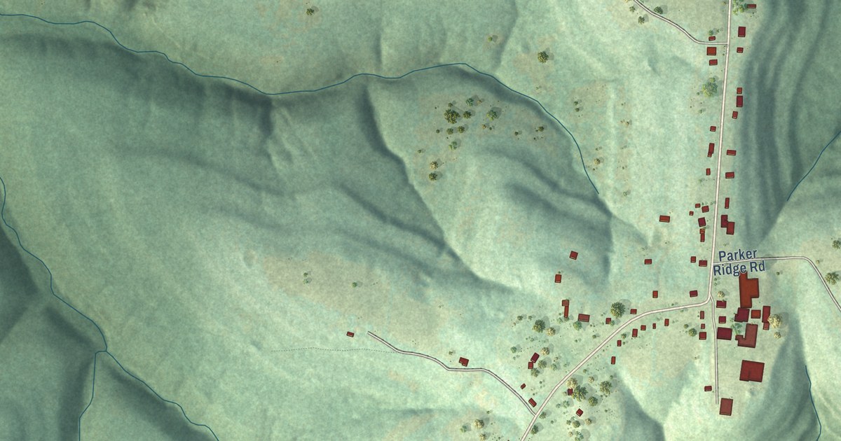
A detailed map of Deer, Arkansas, showing every building in its true location, the roads by name, and shaded topographical relief.
Read More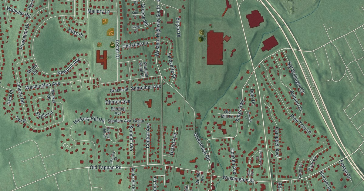
A detailed map of Tappan, New York, showing every building in its true location, the roads by name, and shaded topographical relief.
Read More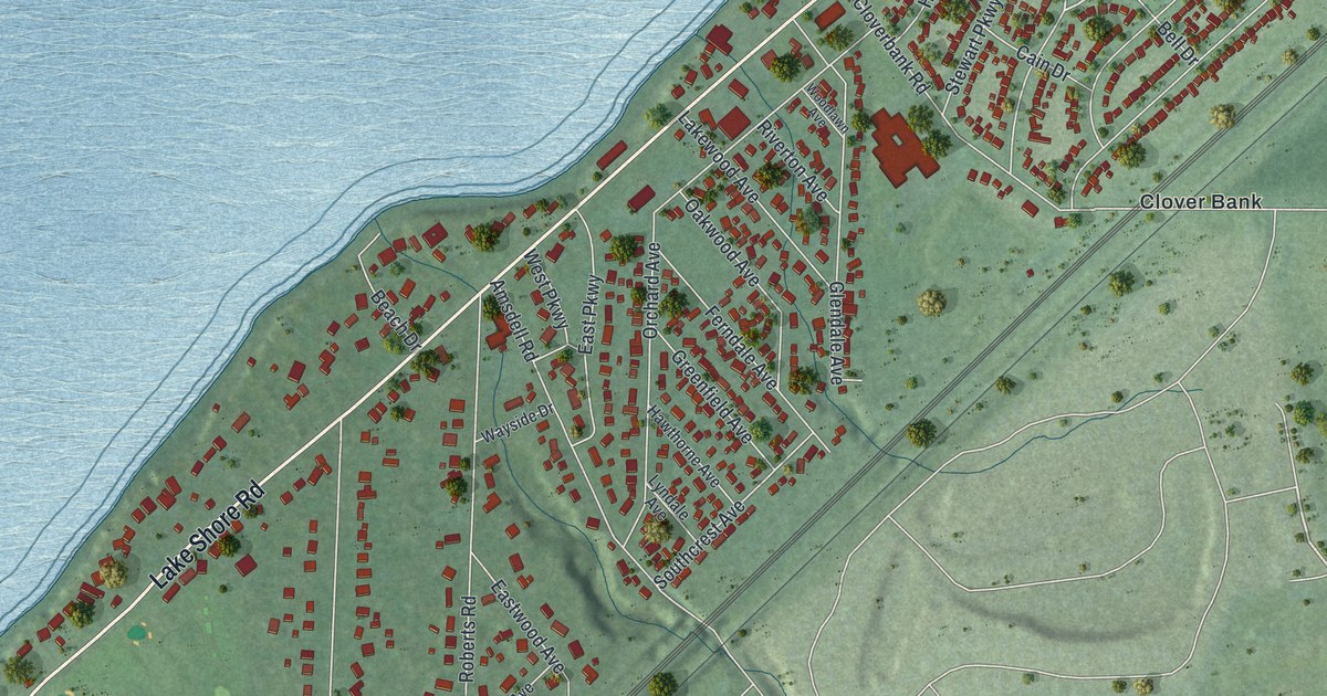
A detailed map of Wanakah, New York, showing every building in its true location, the roads by name, and shaded topographical relief.
Read More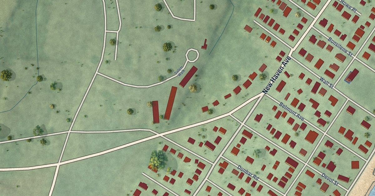
A detailed map of Woodmont, Connecticut, showing every building in its true location, the roads by name, and shaded topographical relief.
Read More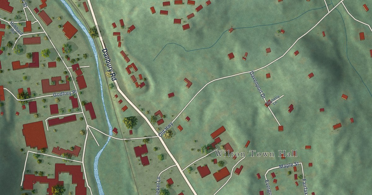
A detailed map of Wilton Center, Connecticut, showing every building in its true location, the roads by name, and shaded topographical relief.
Read More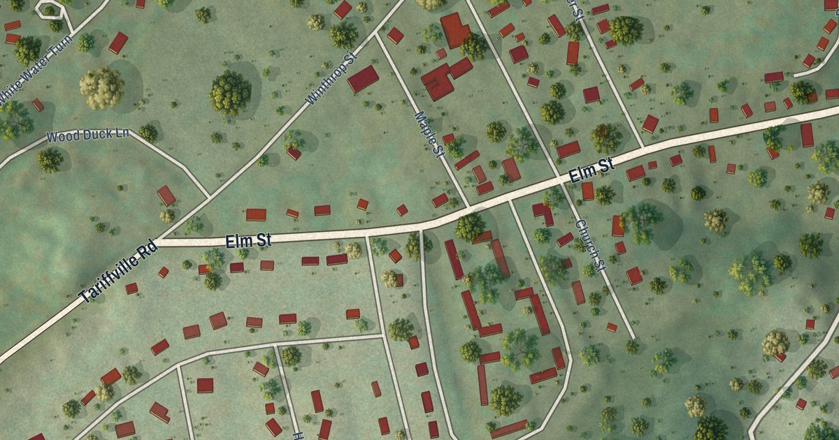
A detailed map of Tariffville, Connecticut, showing every building in its true location, the roads by name, and shaded topographical relief.
Read More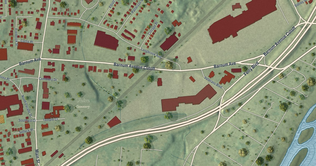
A detailed map of Stratford Downtown, Connecticut, showing every building in its true location, the roads by name, and shaded topographical relief.
Read More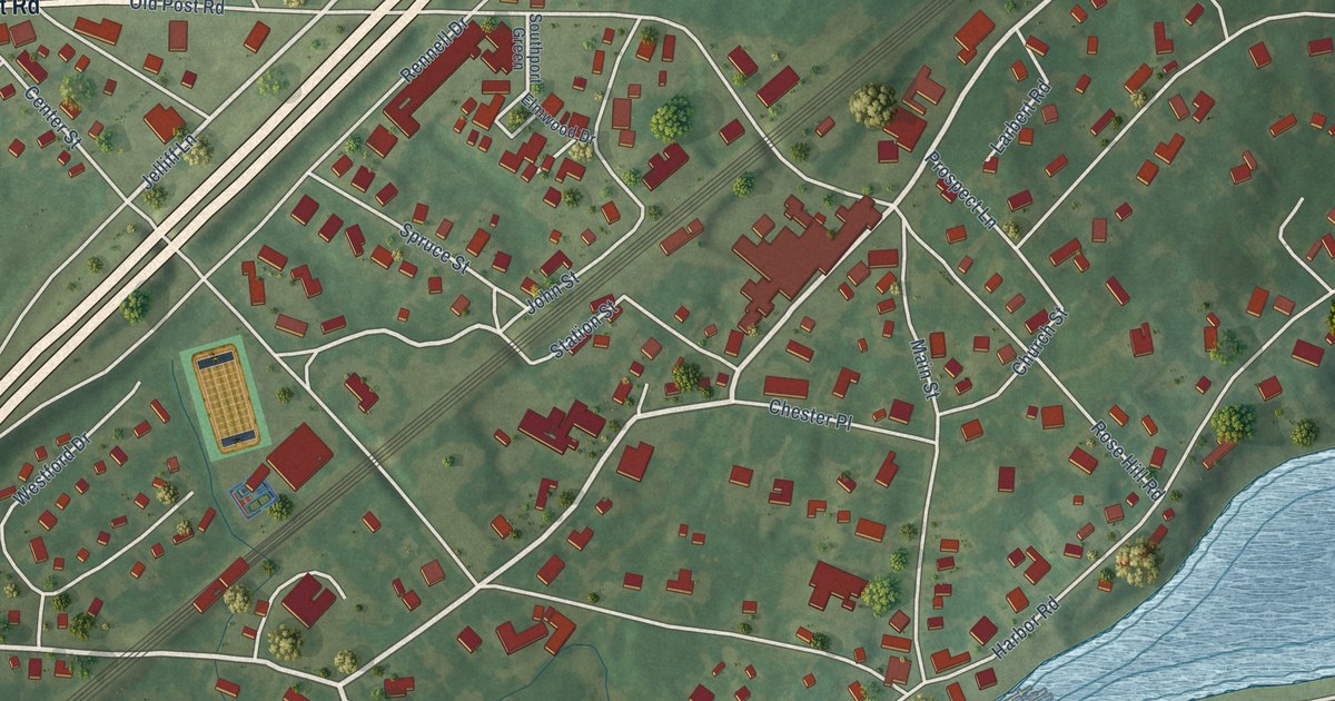
A detailed map of Southport, Connecticut, showing every building in its true location, the roads by name, and shaded topographical relief.
Read More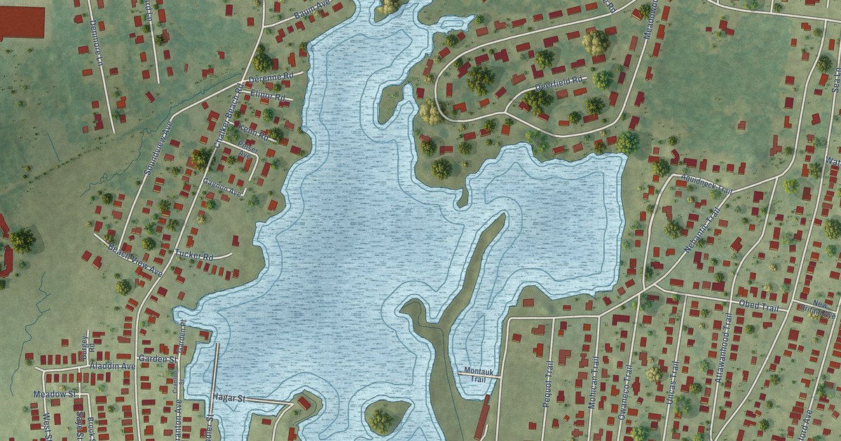
A detailed map of Saybrook Manor, Connecticut, showing every building in its true location, the roads by name, and shaded topographical relief.
Read More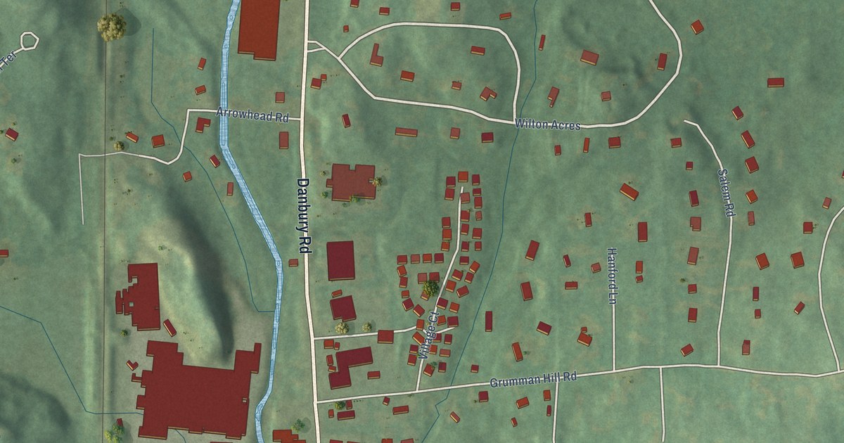
A detailed map of South Wilton, Connecticut, showing every building in its true location, the roads by name, and shaded topographical relief.
Read More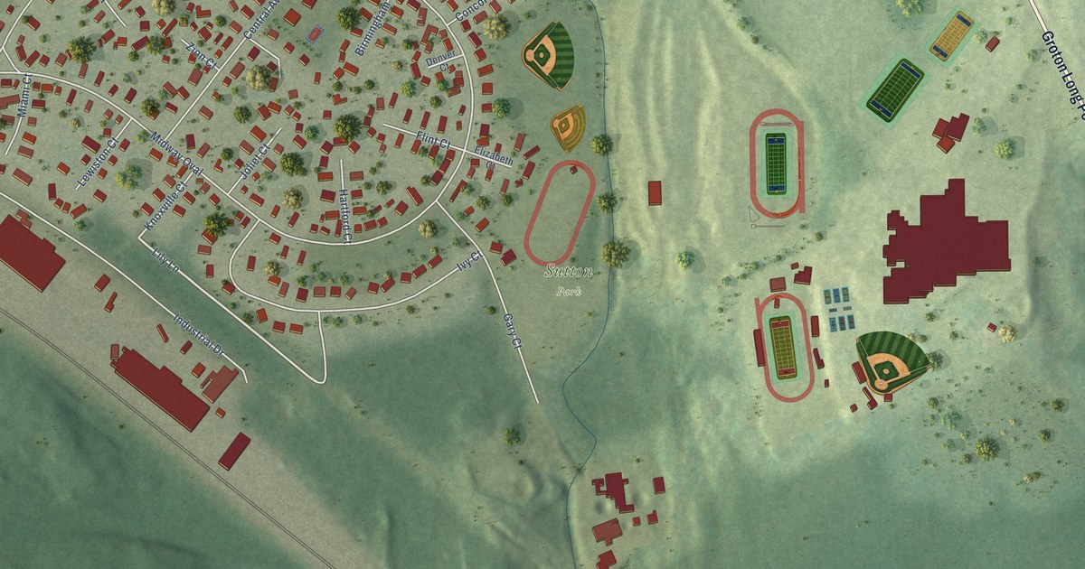
A detailed map of Poquonock Bridge, Connecticut, showing every building in its true location, the roads by name, and shaded topographical relief.
Read More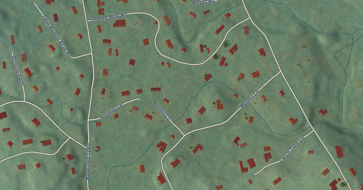
A detailed map of Poplar Plains, Connecticut, showing every building in its true location, the roads by name, and shaded topographical relief.
Read More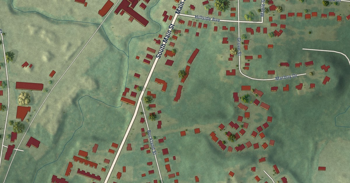
A detailed map of Plantsville, Connecticut, showing every building in its true location, the roads by name, and shaded topographical relief.
Read More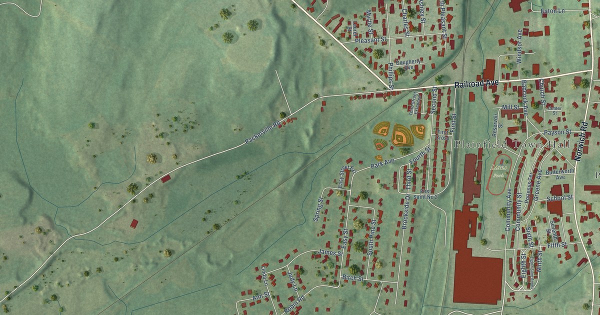
A detailed map of Plainfield Village, Connecticut, showing every building in its true location, the roads by name, and shaded topographical relief.
Read More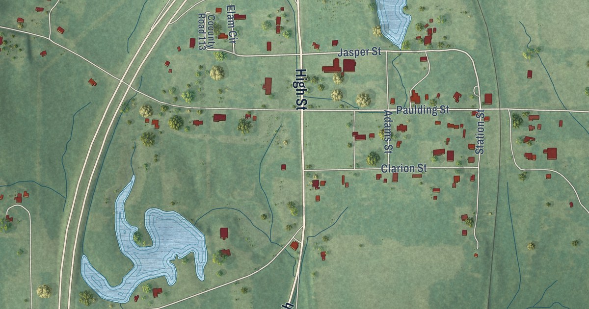
A detailed map of De Soto, Mississippi, showing every building in its true location, the roads by name, and shaded topographical relief.
Read More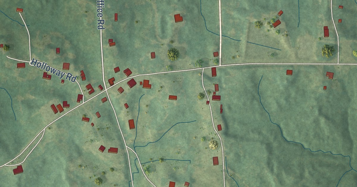
A detailed map of Arkabutla, Mississippi, showing every building in its true location, the roads by name, and shaded topographical relief.
Read More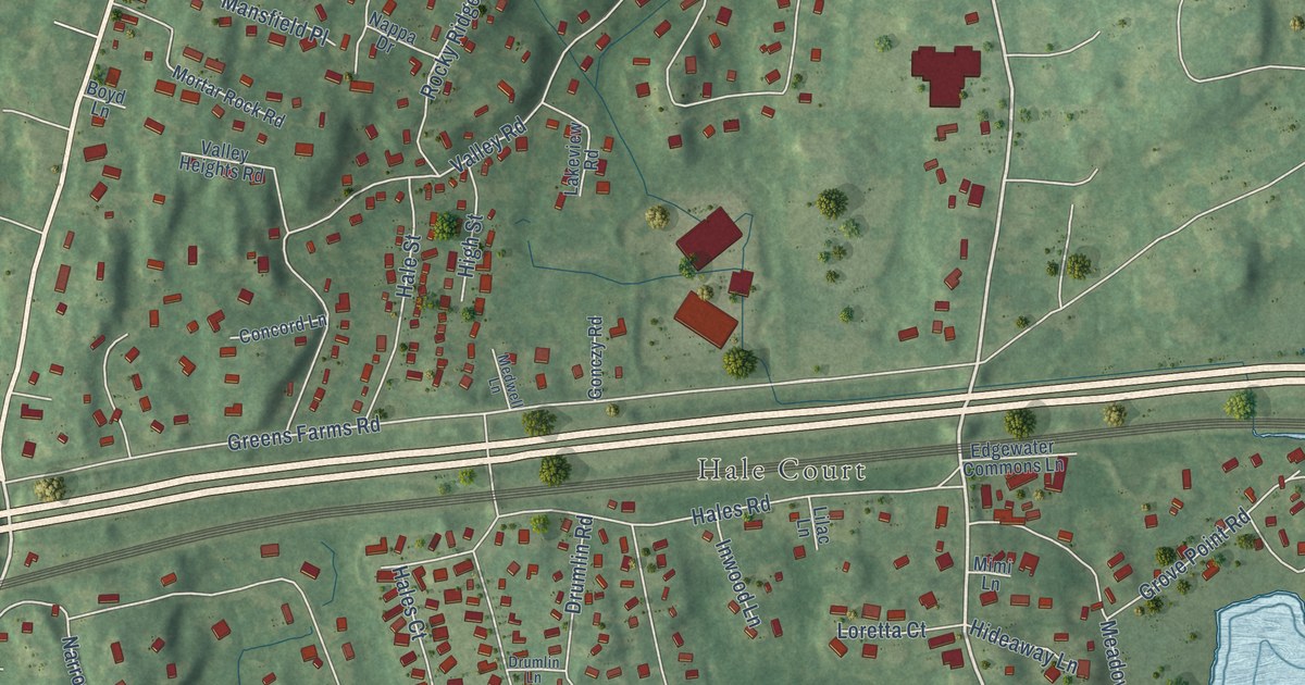
A detailed map of Compo, Connecticut, showing every building in its true location, the roads by name, and shaded topographical relief.
Read More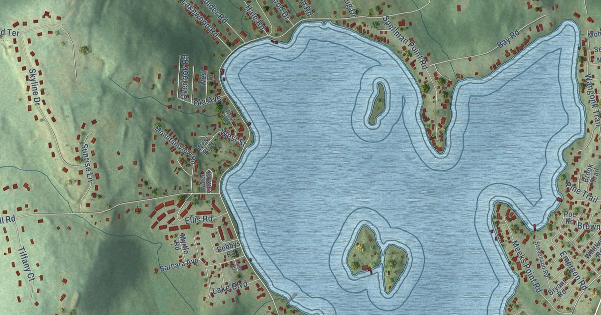
A detailed map of Lake Pocotopaug, Connecticut, showing every building in its true location, the roads by name, and shaded topographical relief.
Read More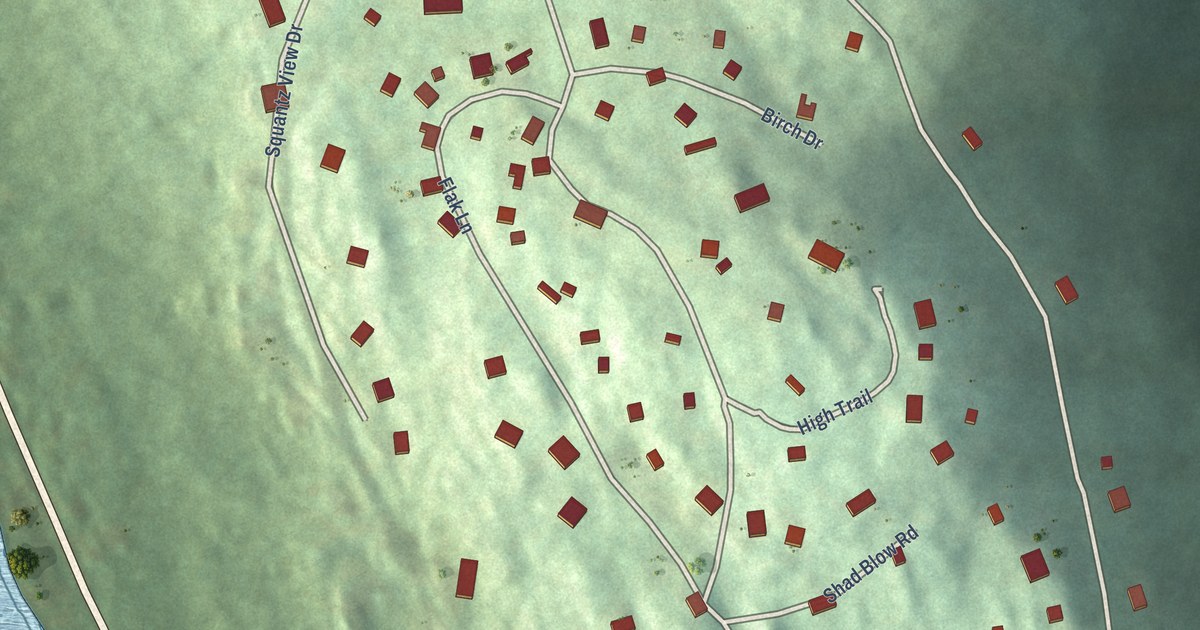
A detailed map of Inglenook, Connecticut, showing every building in its true location, the roads by name, and shaded topographical relief.
Read More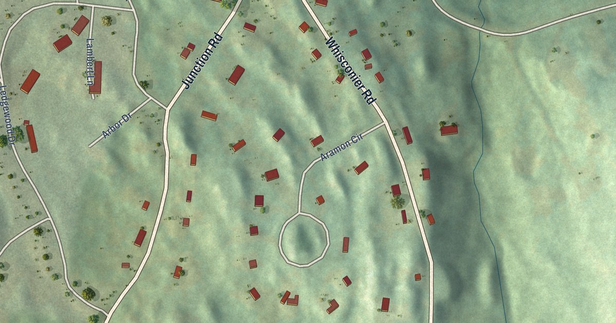
A detailed map of Brookfield Center, Connecticut, showing every building in its true location, the roads by name, and shaded topographical relief.
Read More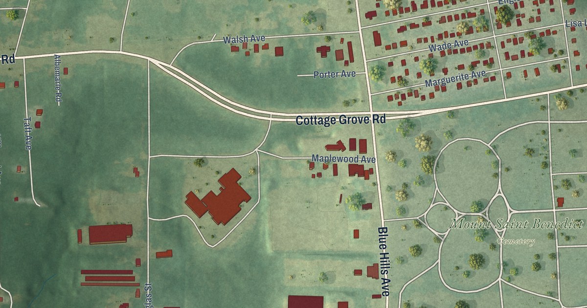
A detailed map of Blue Hills, Connecticut, showing every building in its true location, the roads by name, and shaded topographical relief.
Read More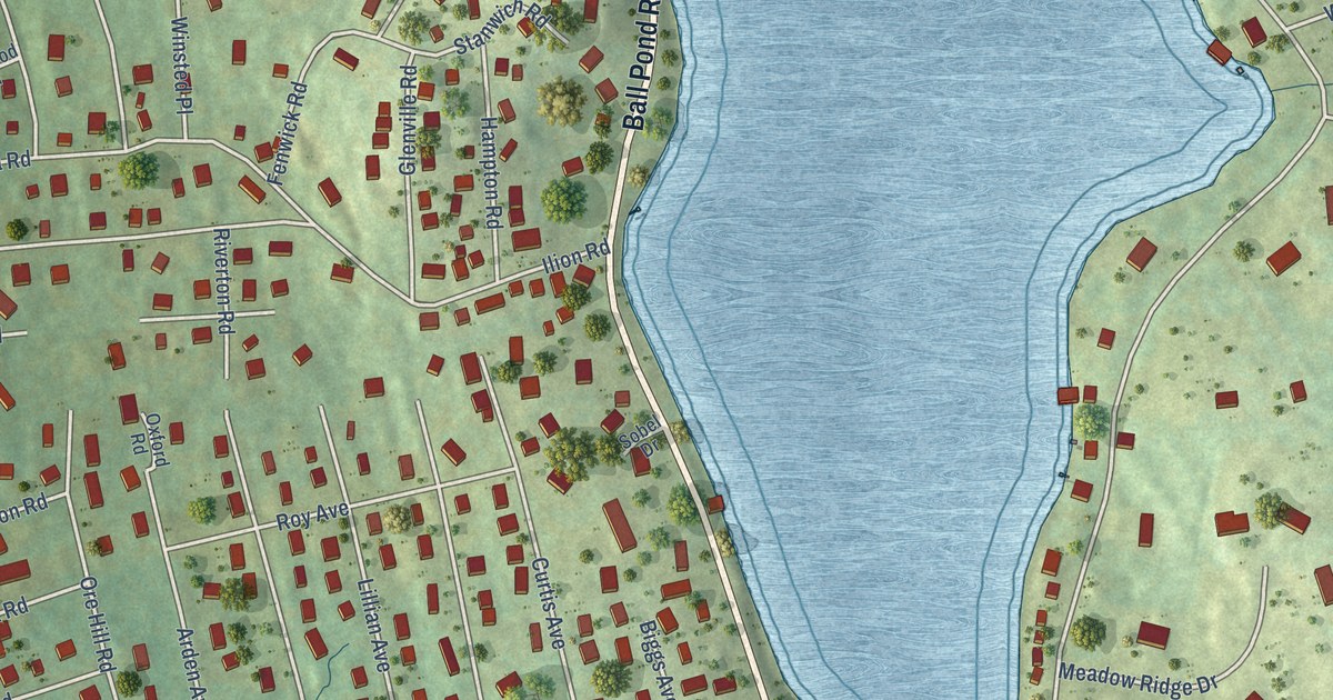
A detailed map of Ball Pond, Connecticut, showing every building in its true location, the roads by name, and shaded topographical relief.
Read More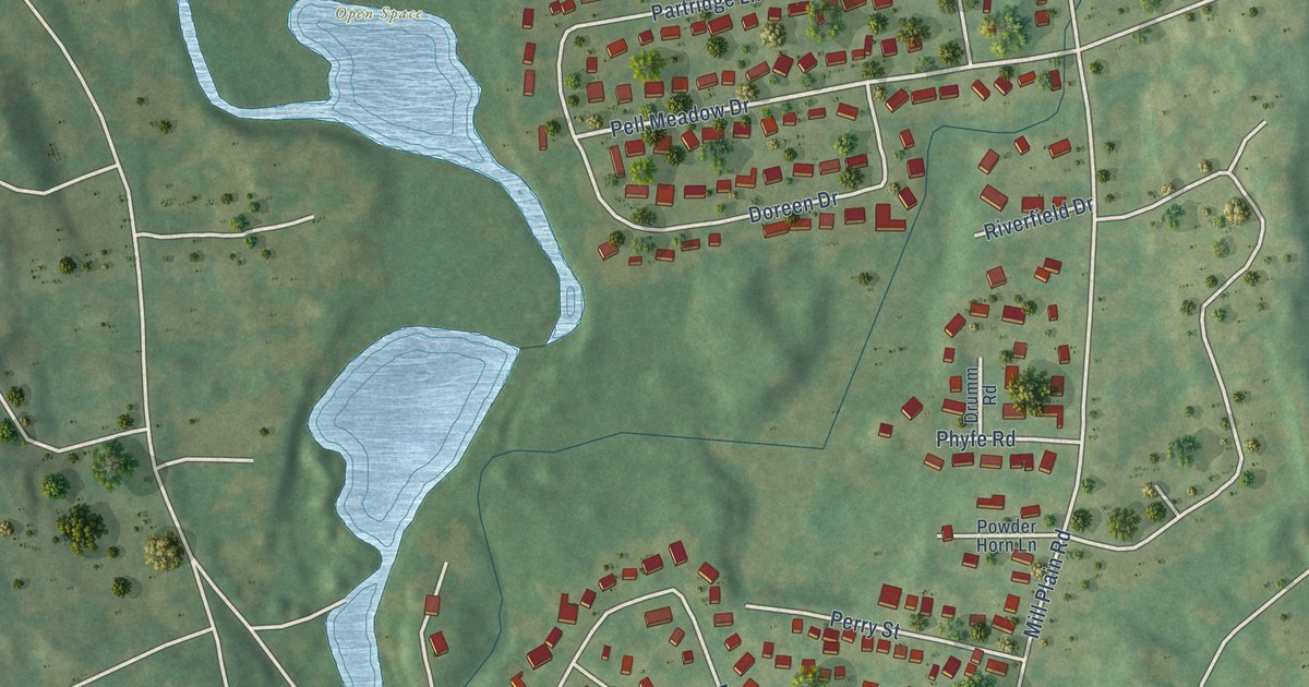
A detailed map of Mill Plain, Connecticut, showing every building in its true location, the roads by name, and shaded topographical relief.
Read More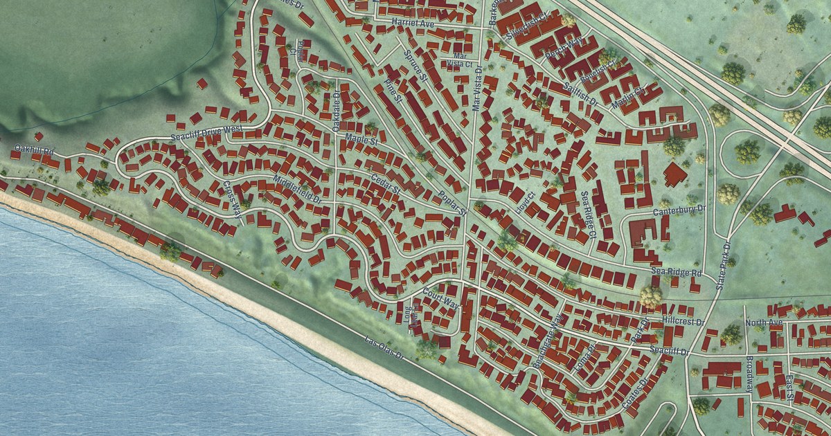
A detailed map of Seacliff, California, showing every building in its true location, the roads by name, and shaded topographical relief.
Read More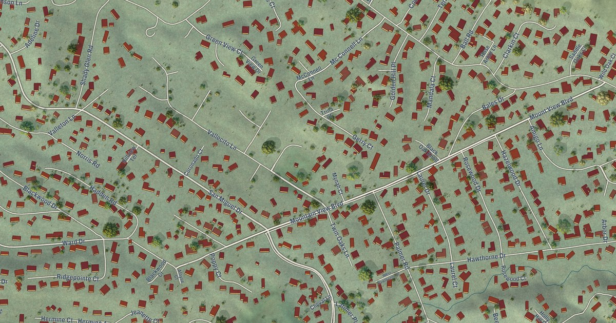
A detailed map of San Miguel, California, showing every building in its true location, the roads by name, and shaded topographical relief.
Read More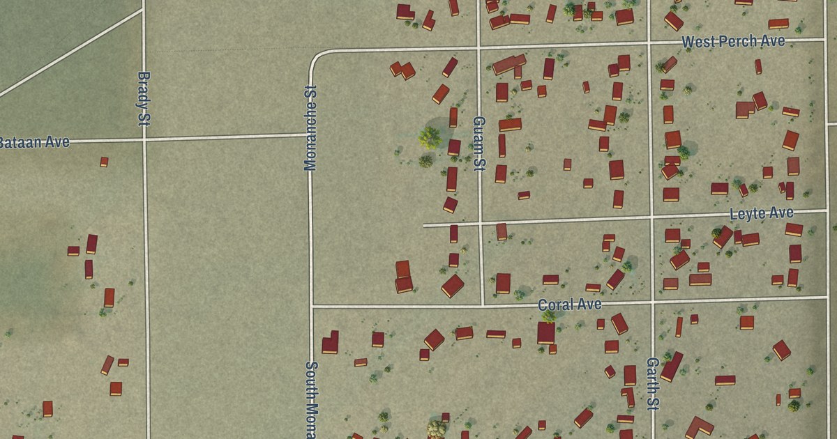
A detailed map of Ridgecrest Heights, California, showing every building in its true location, the roads by name, and shaded topographical relief.
Read More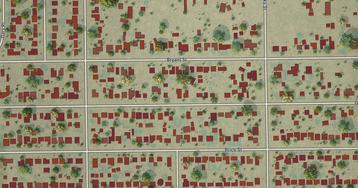
A detailed map of Rexland Acres, California, showing every building in its true location, the roads by name, and shaded topographical relief.
Read More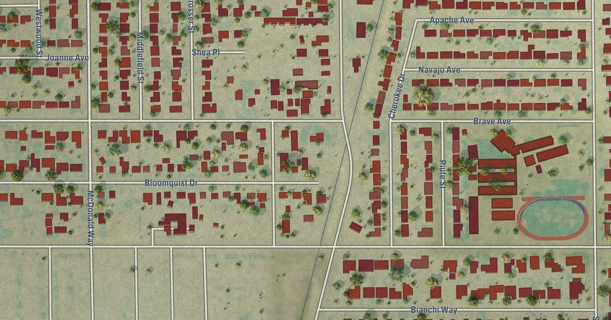
A detailed map of Old Stine, California, showing every building in its true location, the roads by name, and shaded topographical relief.
Read More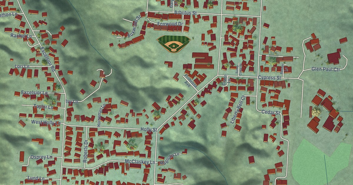
A detailed map of Cutten, California, showing every building in its true location, the roads by name, and shaded topographical relief.
Read More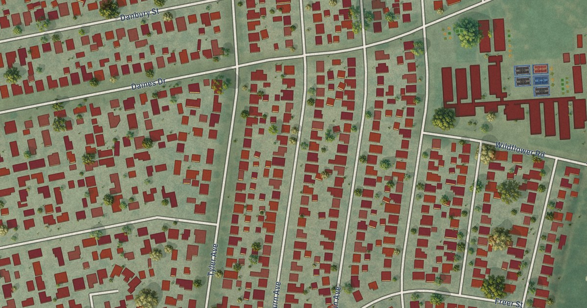
A detailed map of North El Monte, California, showing every building in its true location, the roads by name, and shaded topographical relief.
Read More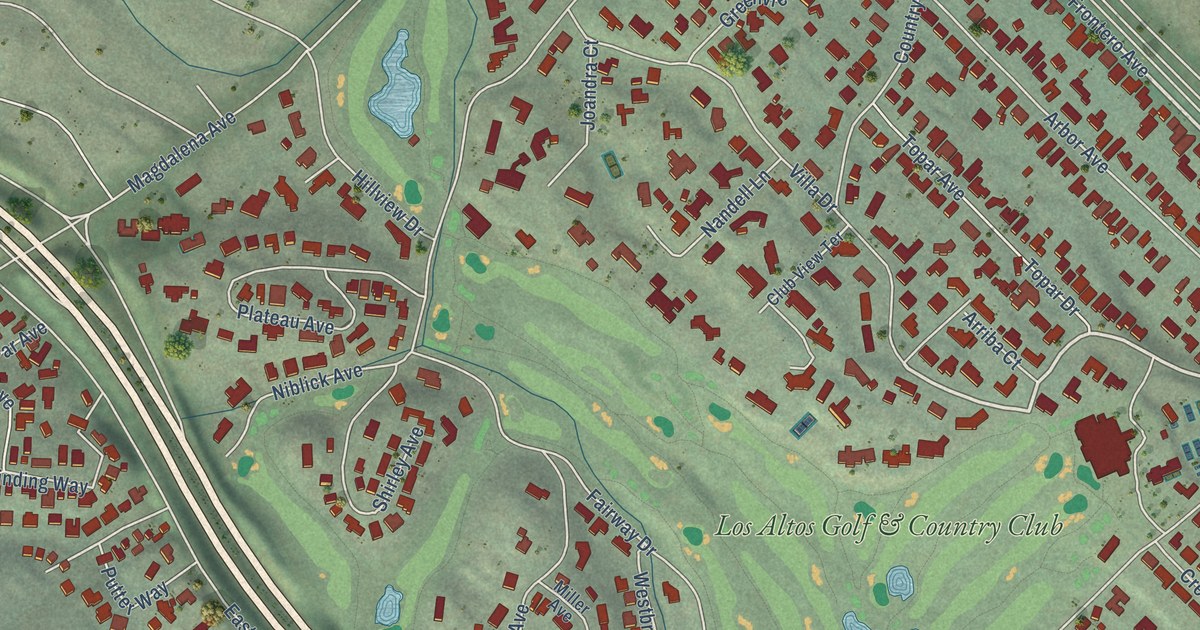
A detailed map of Loyola, California, showing every building in its true location, the roads by name, and shaded topographical relief.
Read More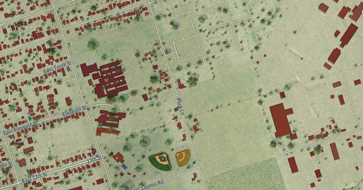
A detailed map of Kennedy, California, showing every building in its true location, the roads by name, and shaded topographical relief.
Read More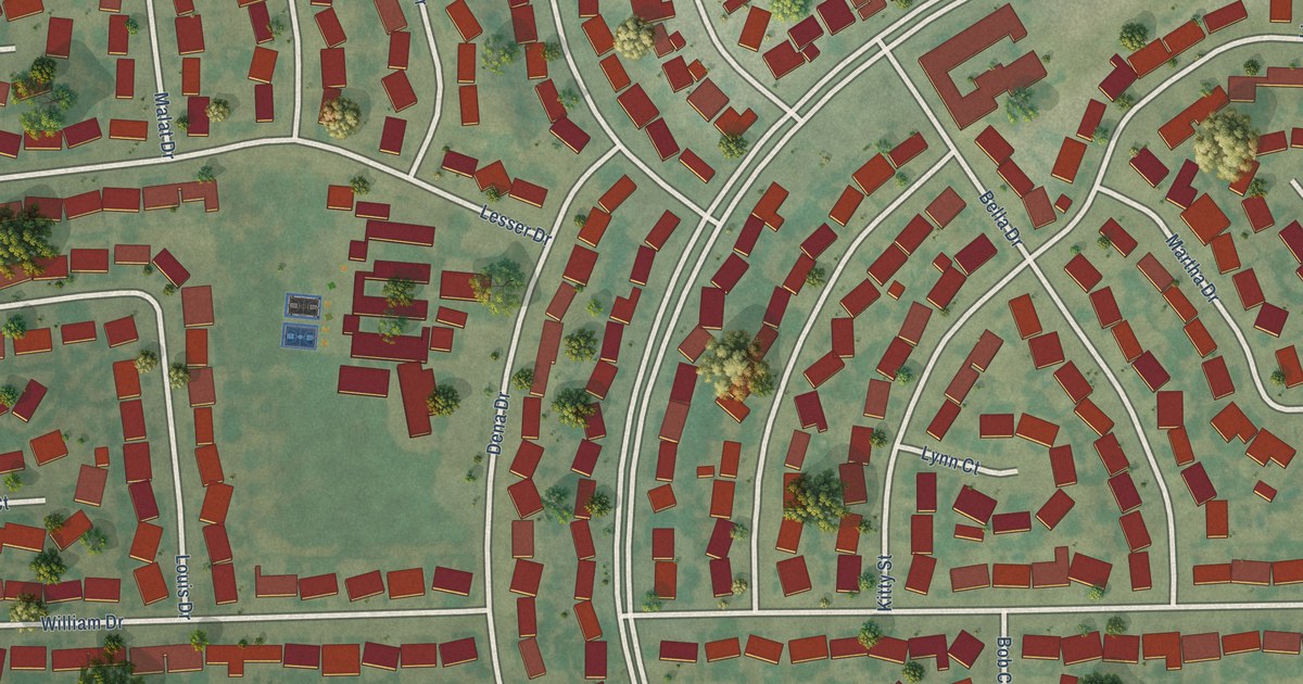
A detailed map of Casa Conejo, California, showing every building in its true location, the roads by name, and shaded topographical relief.
Read More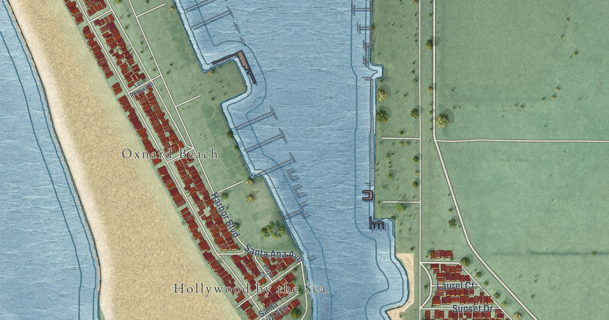
A detailed map of Channel Islands Beach, California, showing every building in its true location, the roads by name, and shaded topographical relief.
Read More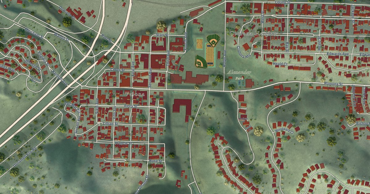
A detailed map of Crockett, California, showing every building in its true location, the roads by name, and shaded topographical relief.
Read More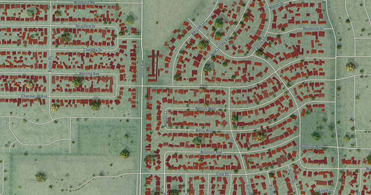
A detailed map of Cambrian Park, California, showing every building in its true location, the roads by name, and shaded topographical relief.
Read More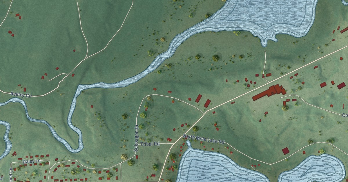
A detailed map of Mole Lake, Wisconsin, showing every building in its true location, the roads by name, and shaded topographical relief.
Read More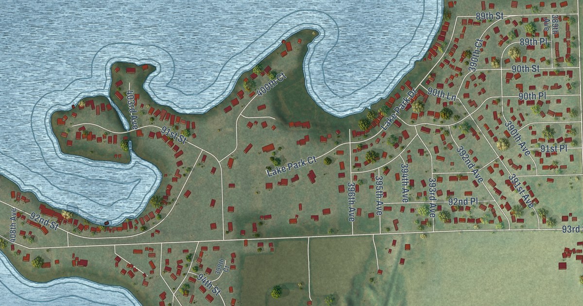
A detailed map of Powers Lake, Wisconsin, showing every building in its true location, the roads by name, and shaded topographical relief.
Read More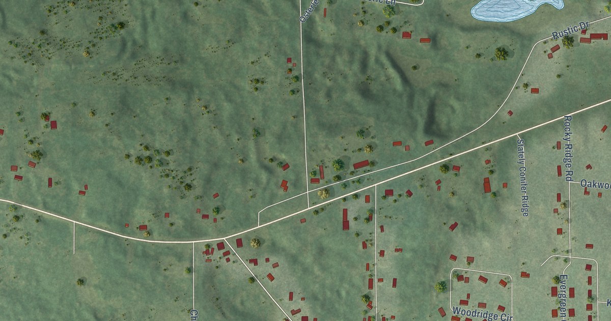
A detailed map of Polonia, Wisconsin, showing every building in its true location, the roads by name, and shaded topographical relief.
Read More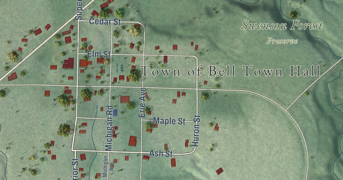
A detailed map of Cornucopia, Wisconsin, showing every building in its true location, the roads by name, and shaded topographical relief.
Read More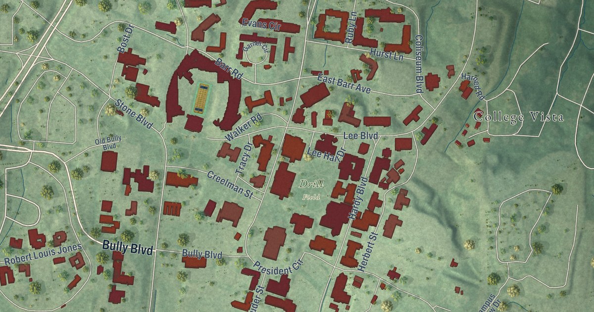
A detailed map of Mississippi State, Mississippi, showing every building in its true location, the roads by name, and shaded topographical relief.
Read More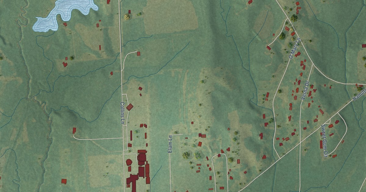
A detailed map of Hamilton, Mississippi, showing every building in its true location, the roads by name, and shaded topographical relief.
Read More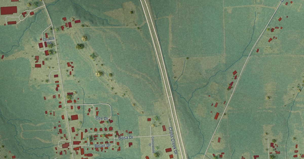
A detailed map of New Hamilton, Mississippi, showing every building in its true location, the roads by name, and shaded topographical relief.
Read More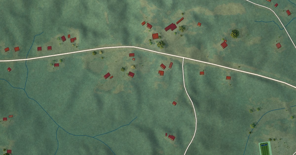
A detailed map of Standing Pine, Mississippi, showing every building in its true location, the roads by name, and shaded topographical relief.
Read More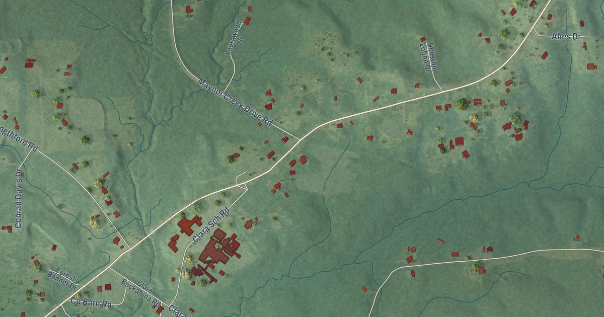
A detailed map of Clara, Mississippi, showing every building in its true location, the roads by name, and shaded topographical relief.
Read More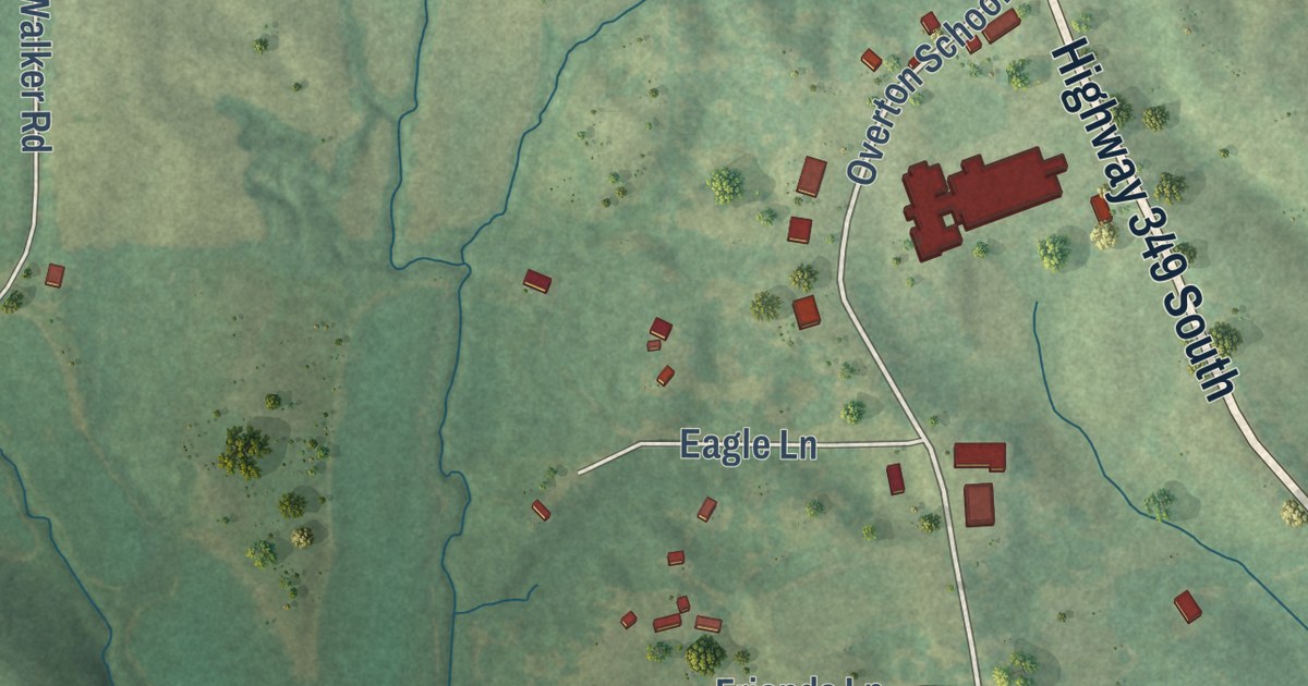
A detailed map of Bethlehem, Mississippi, showing every building in its true location, the roads by name, and shaded topographical relief.
Read More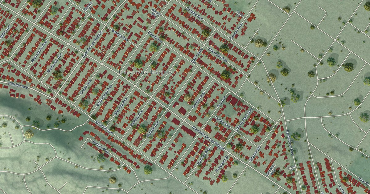
A detailed map of West Menlo Park, California, showing every building in its true location, the roads by name, and shaded topographical relief.
Read More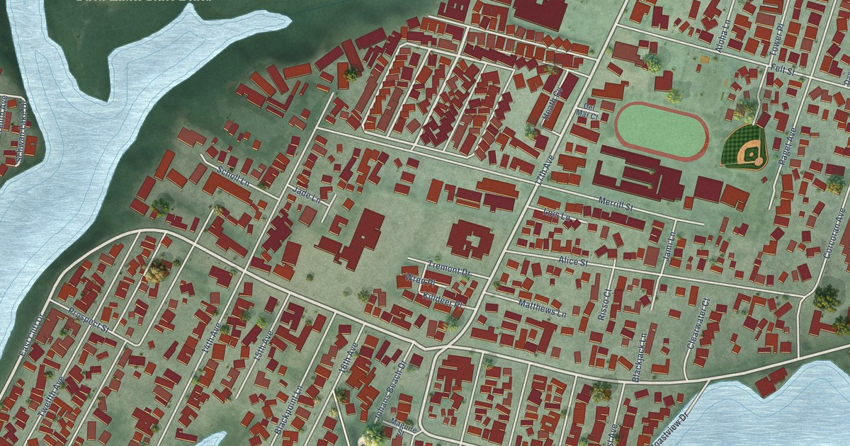
A detailed map of Twin Lakes, California, showing every building in its true location, the roads by name, and shaded topographical relief.
Read More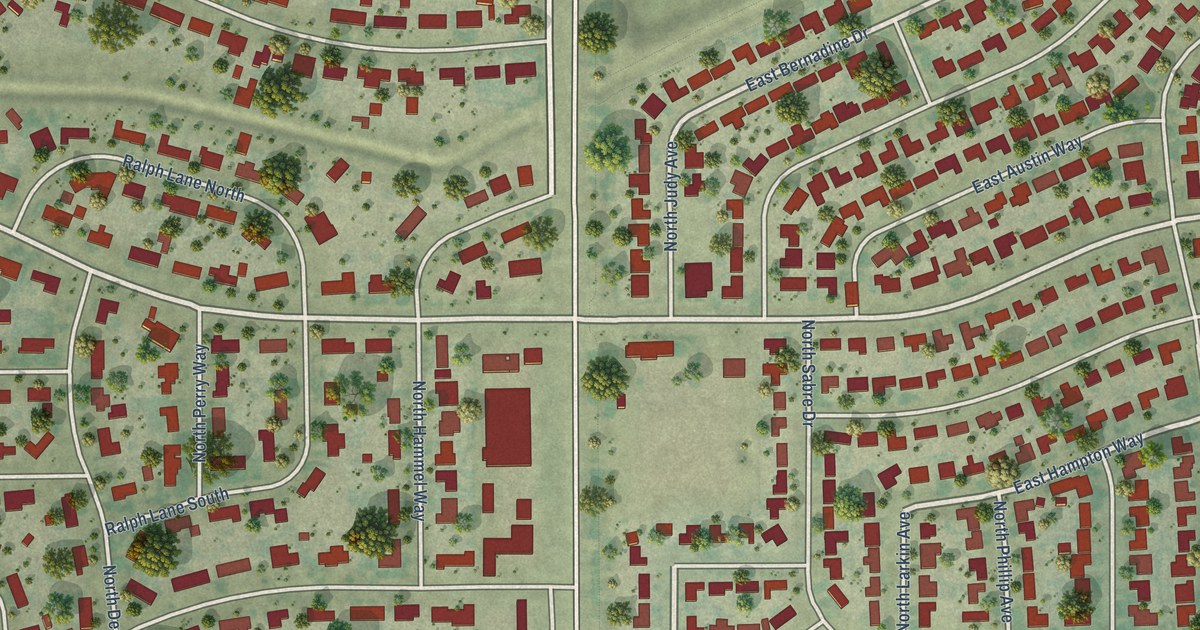
A detailed map of Tarpey Village, California, showing every building in its true location, the roads by name, and shaded topographical relief.
Read More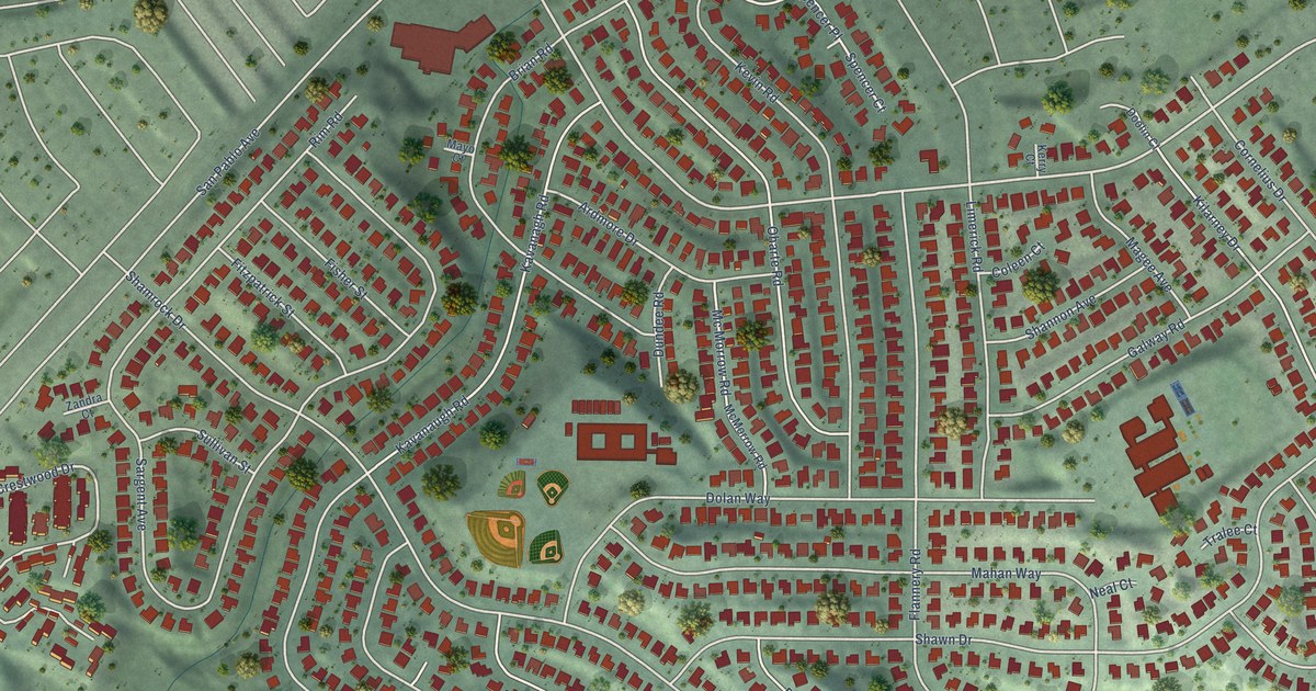
A detailed map of Tara Hills, California, showing every building in its true location, the roads by name, and shaded topographical relief.
Read More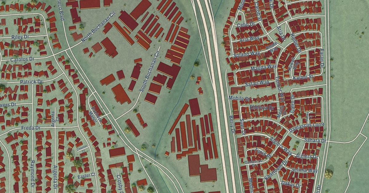
A detailed map of Pacheco, California, showing every building in its true location, the roads by name, and shaded topographical relief.
Read More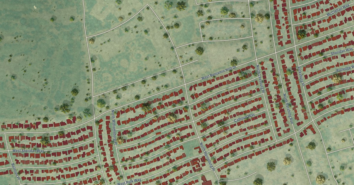
A detailed map of Lincoln Village, California, showing every building in its true location, the roads by name, and shaded topographical relief.
Read More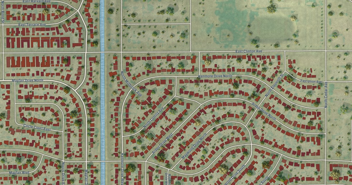
A detailed map of Mayfair, California, showing every building in its true location, the roads by name, and shaded topographical relief.
Read More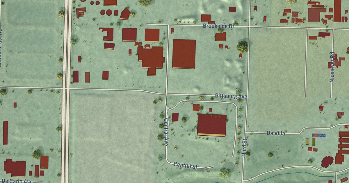
A detailed map of North Richmond, California, showing every building in its true location, the roads by name, and shaded topographical relief.
Read More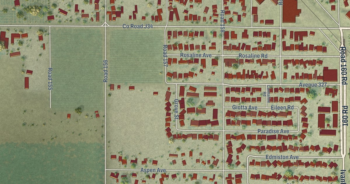
A detailed map of Ivanhoe, California, showing every building in its true location, the roads by name, and shaded topographical relief.
Read More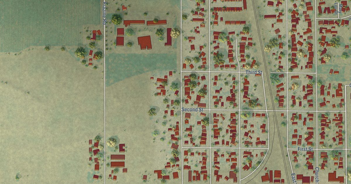
A detailed map of Empire, California, showing every building in its true location, the roads by name, and shaded topographical relief.
Read More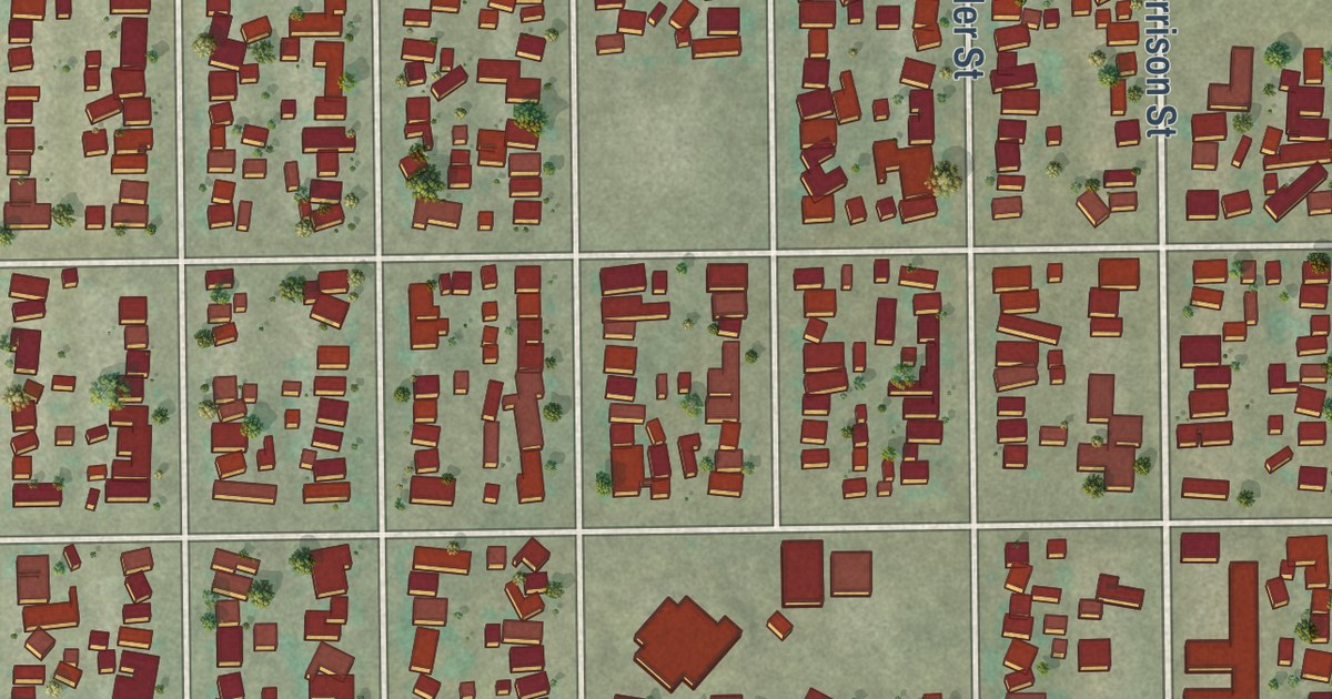
A detailed map of Ford City, California, showing every building in its true location, the roads by name, and shaded topographical relief.
Read More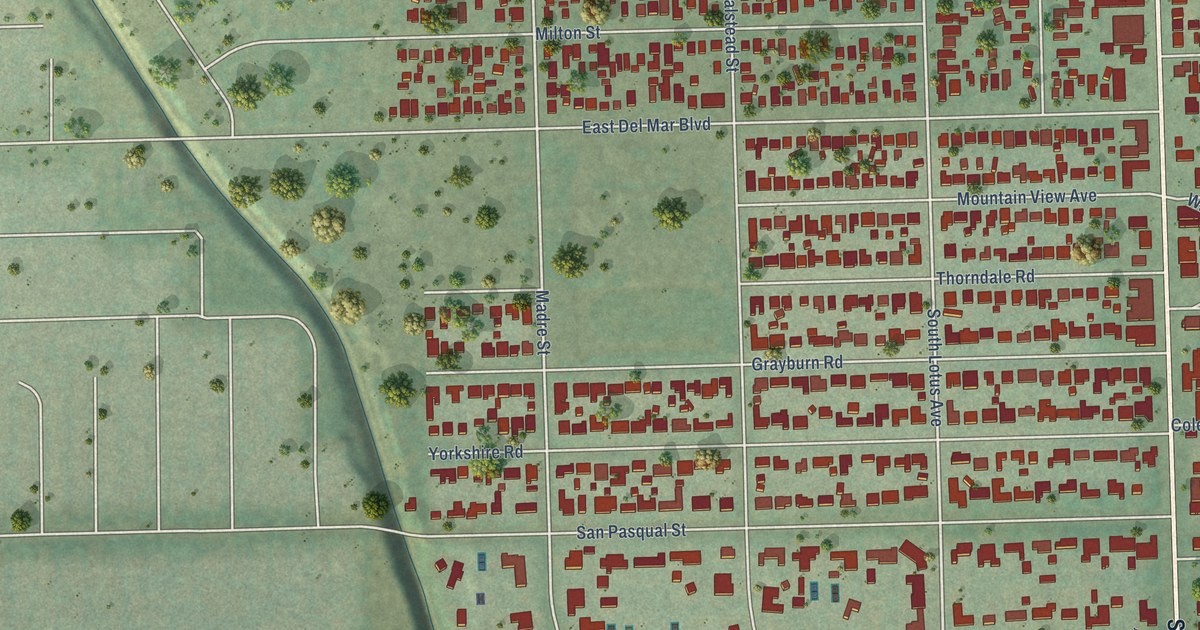
A detailed map of East Pasadena, California, showing every building in its true location, the roads by name, and shaded topographical relief.
Read More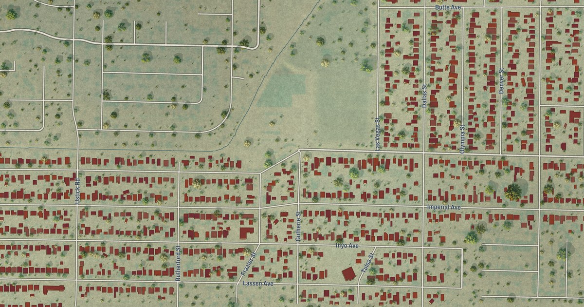
A detailed map of Bret Harte, California, showing every building in its true location, the roads by name, and shaded topographical relief.
Read More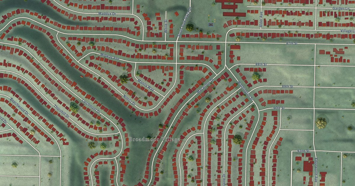
A detailed map of Broadmoor, California, showing every building in its true location, the roads by name, and shaded topographical relief.
Read More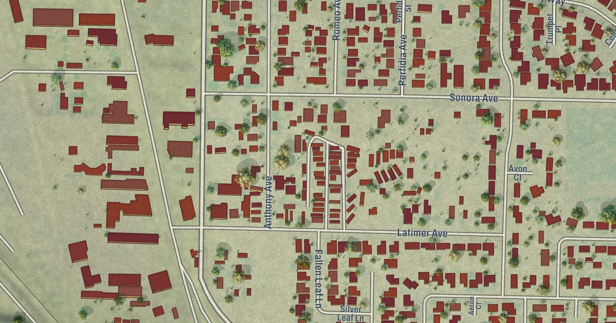
A detailed map of Bystrom, California, showing every building in its true location, the roads by name, and shaded topographical relief.
Read More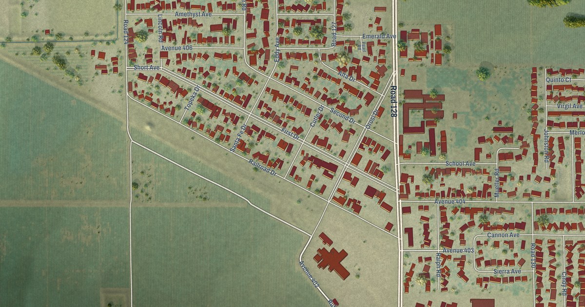
A detailed map of Cutler, California, showing every building in its true location, the roads by name, and shaded topographical relief.
Read More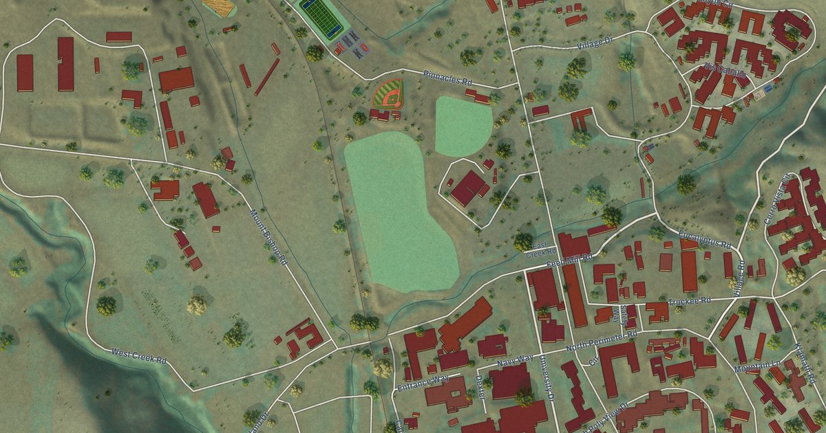
A detailed map of California Polytechnic State University, California, showing every building in its true location, the roads by name, and shaded topographical relief.
Read More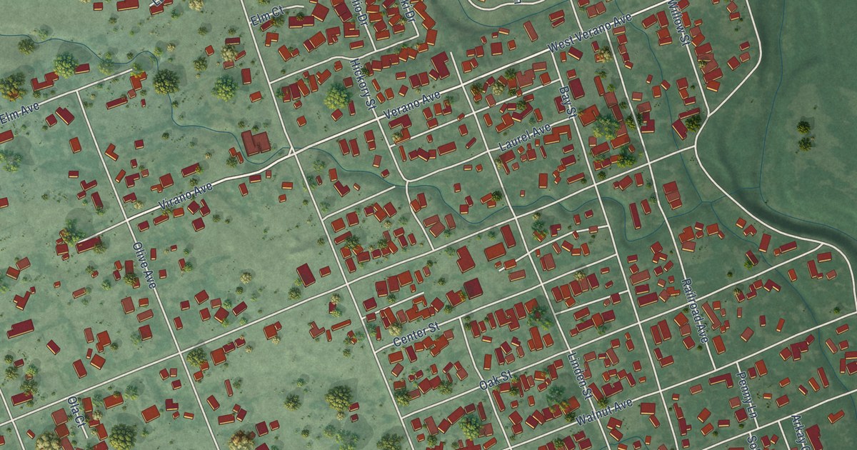
A detailed map of El Verano, California, showing every building in its true location, the roads by name, and shaded topographical relief.
Read More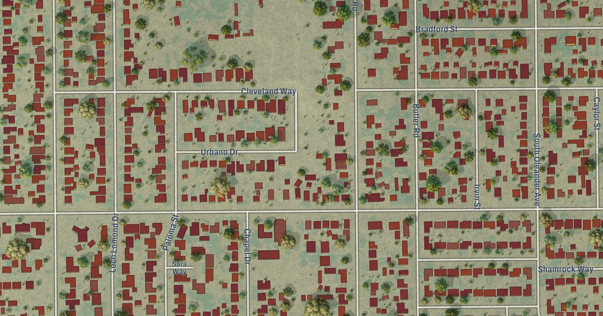
A detailed map of Benton Park, California, showing every building in its true location, the roads by name, and shaded topographical relief.
Read More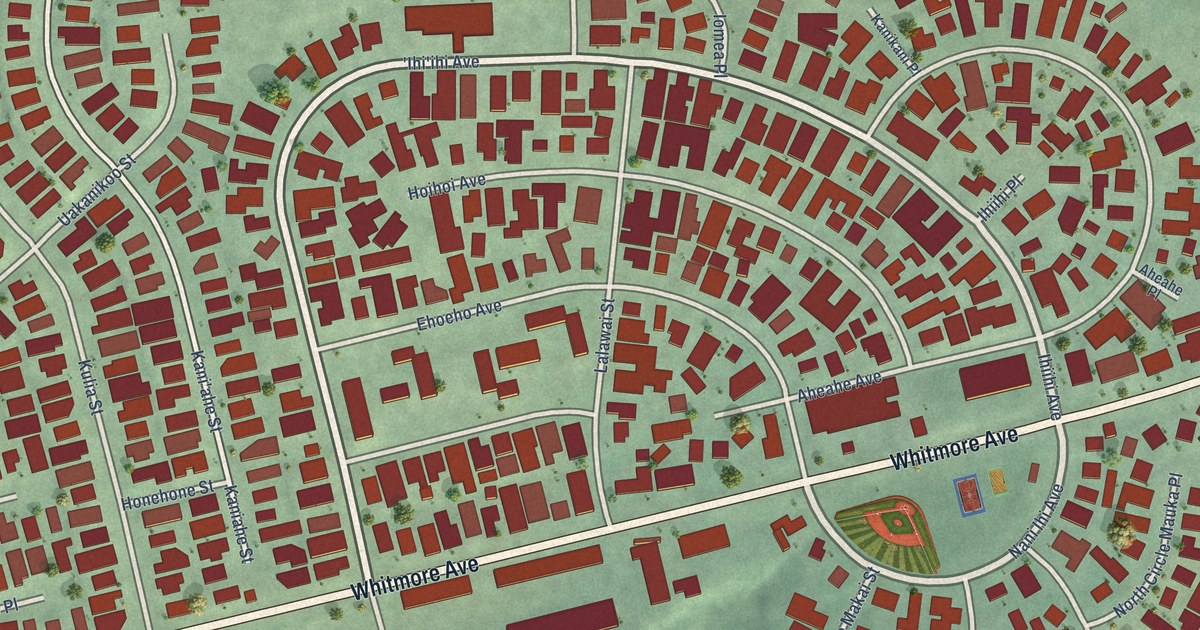
A detailed map of Whitmore Village, Hawaii, showing every building in its true location, the roads by name, and shaded topographical relief.
Read More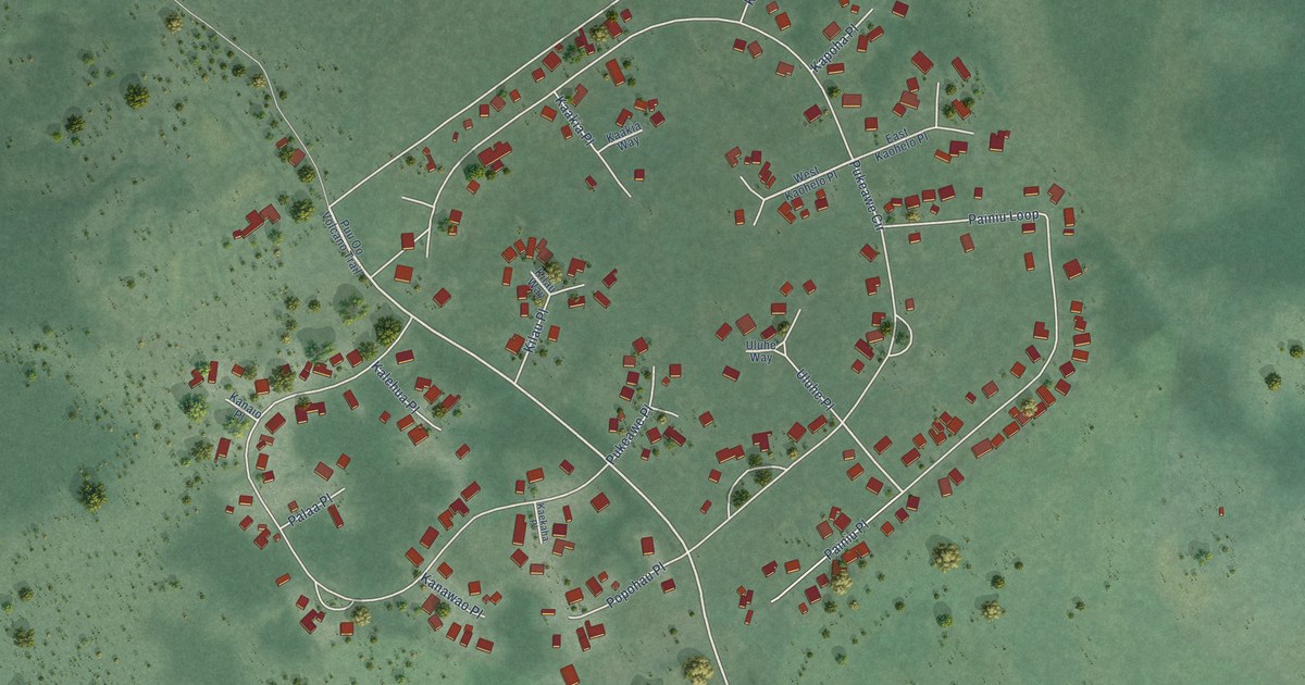
A detailed map of Volcano Golf Course, Hawaii, showing every building in its true location, the roads by name, and shaded topographical relief.
Read More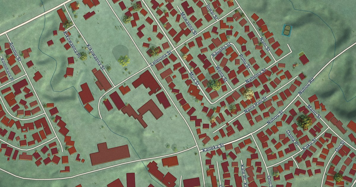
A detailed map of Puhi, Hawaii, showing every building in its true location, the roads by name, and shaded topographical relief.
Read More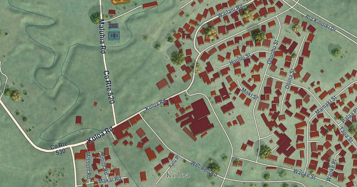
A detailed map of Koloa, Hawaii, showing every building in its true location, the roads by name, and shaded topographical relief.
Read More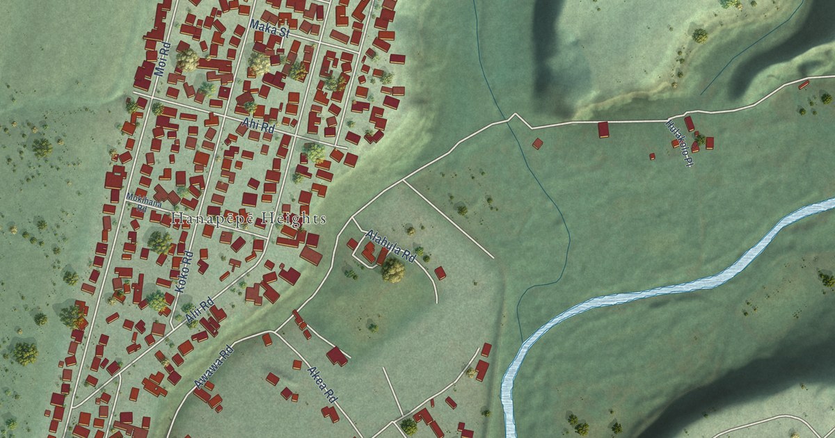
A detailed map of Hanapepe, Hawaii, showing every building in its true location, the roads by name, and shaded topographical relief.
Read More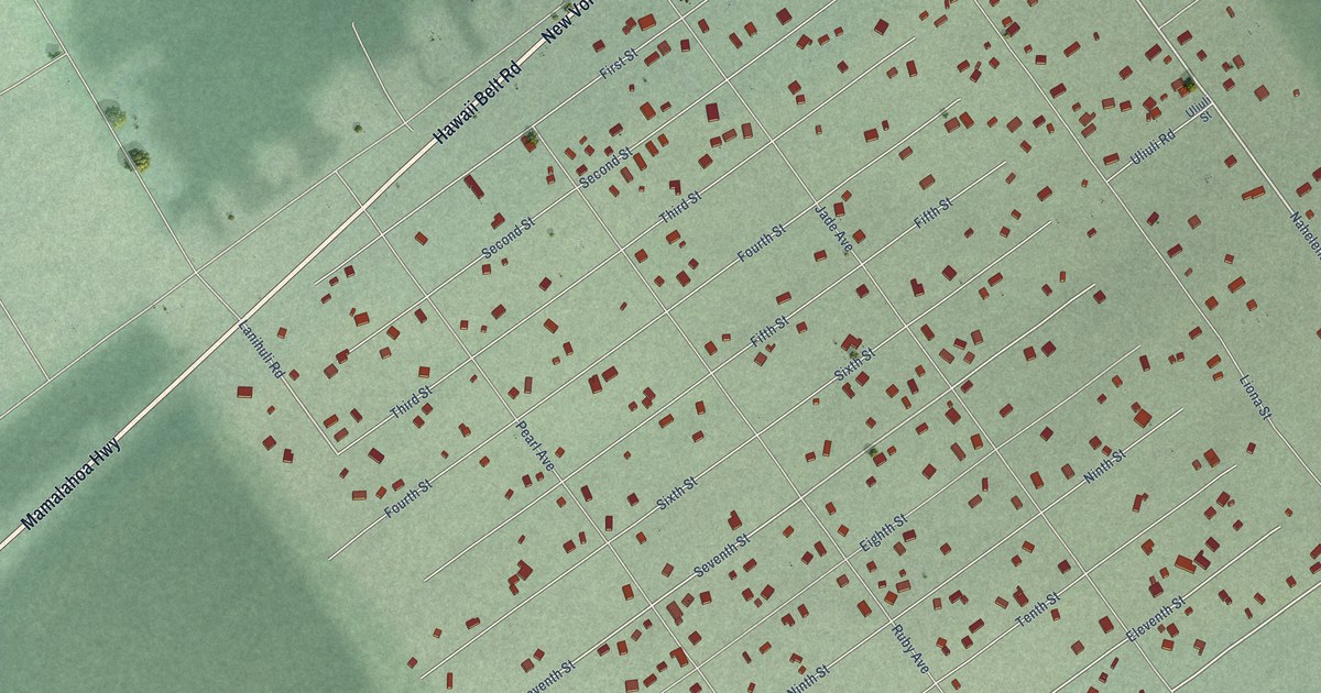
A detailed map of Mauna Loa Estates, Hawaii, showing every building in its true location, the roads by name, and shaded topographical relief.
Read More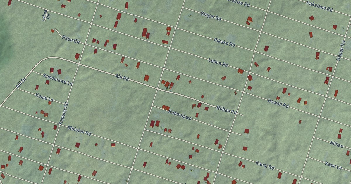
A detailed map of Nanawale Estates, Hawaii, showing every building in its true location, the roads by name, and shaded topographical relief.
Read More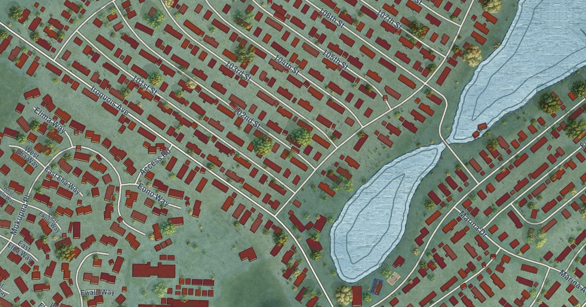
A detailed map of Iroquois Point, Hawaii, showing every building in its true location, the roads by name, and shaded topographical relief.
Read More















