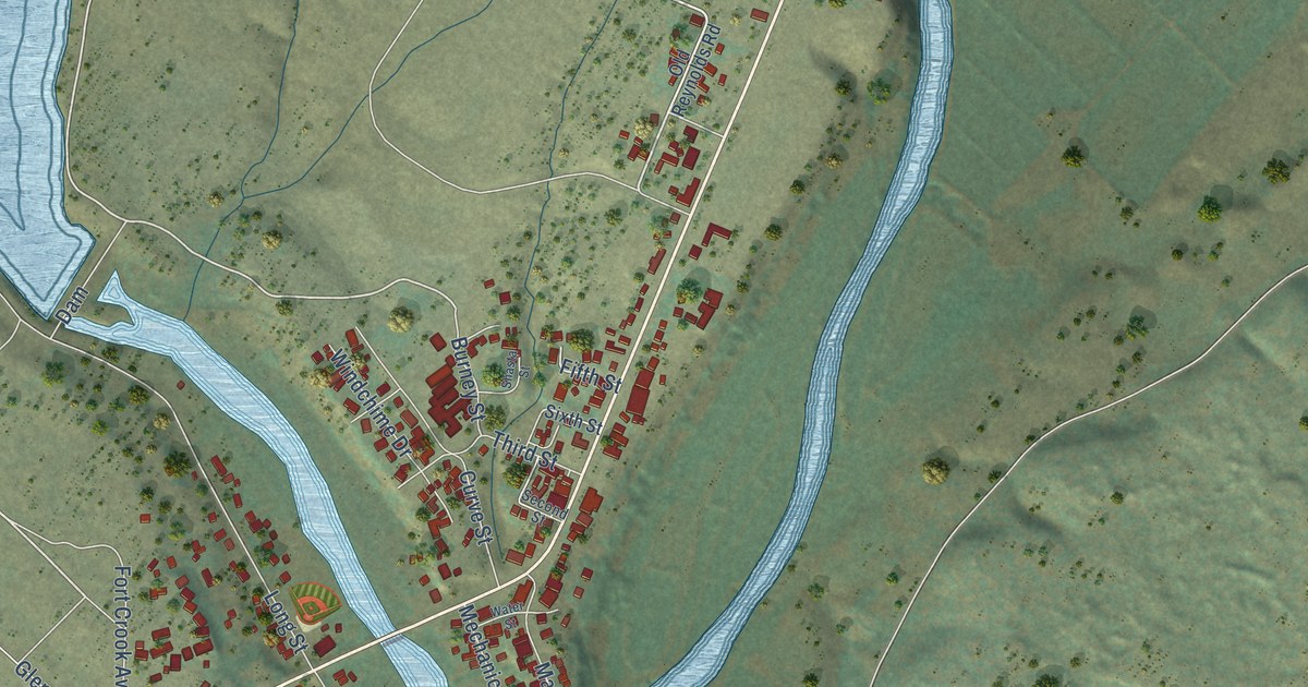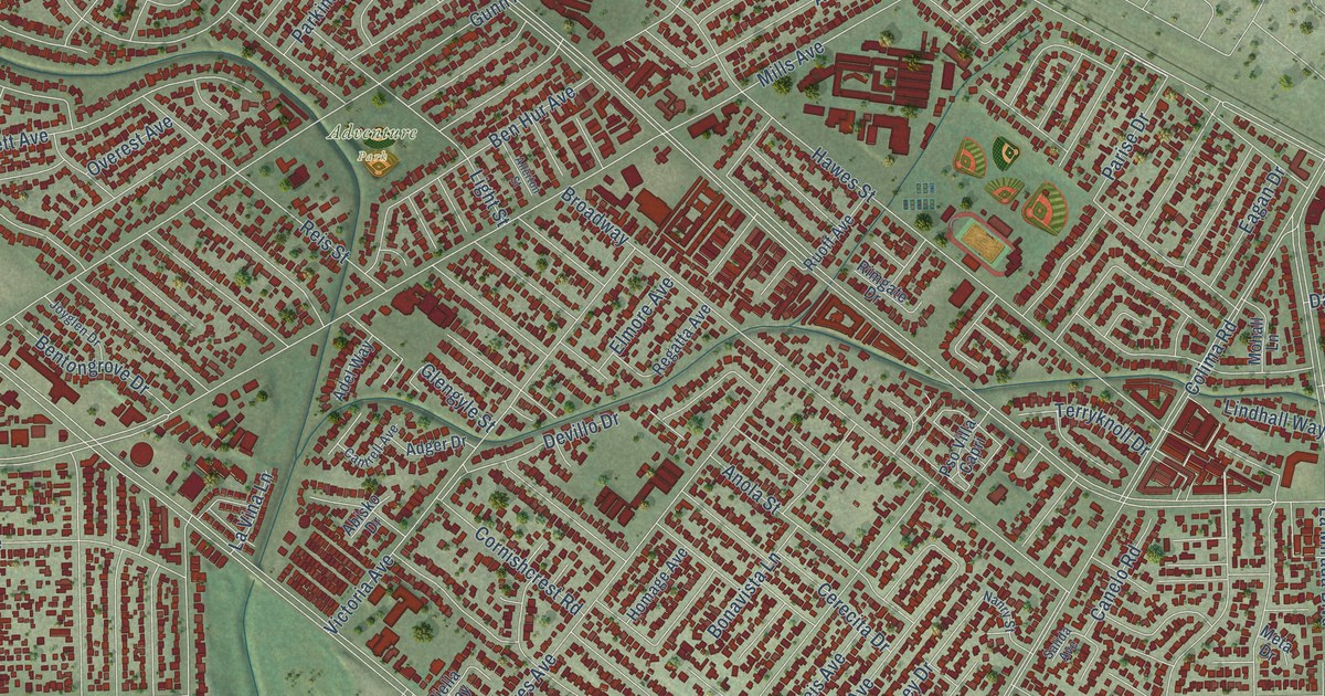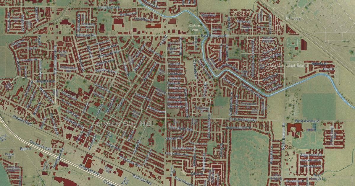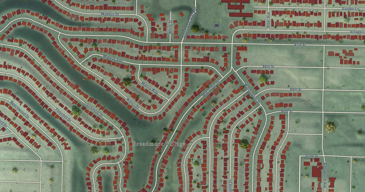
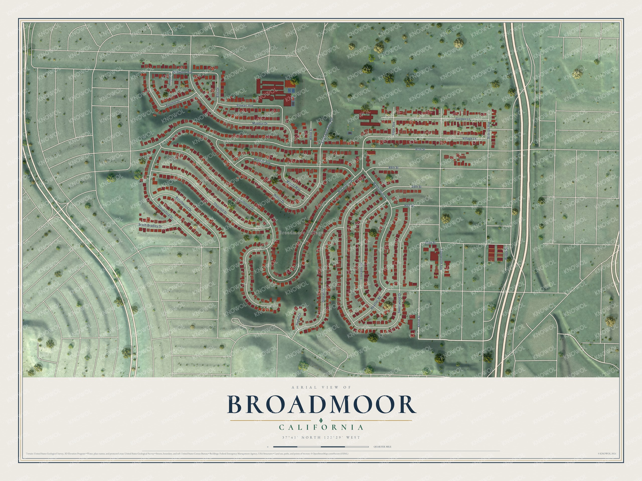
This beautifully detailed map of Broadmoor, California was created in 2026 using aerial imagery combined with modern topographical, census, street and landmark data. It's a modern aerial view of Broadmoor in San Mateo County, California, that combines modern data with a vintage aesthetic. The roads feature printed names, and if you look closely you can find your exact house accurately shown in its correct location.
Explore an aerial view of Broadmoor, California
On this map you'll find Broadmoor Village, Annie Street, South Park Plaza Drive, 87th Street, Sweetwood Drive, Larchmont Drive, Washington Street, Macarthur Drive, Nimitz Drive, Maddux Drive, Thornhill Drive, Gilman Drive, and more. Each red shape is a building, so zoom in on the preview and look for yours.
Here is a piece of Broadmoor history. Broadmoor's homeowners decided in 1948 to create their own police. The county sheriff was nearly twenty miles away in Redwood City and response times were slow, so they petitioned the county, and on December 21, 1948, the Board of Supervisors established the Broadmoor Police Protection District. In 1957 the district began ambulance and dispatch service for the Town of Colma, and its officers served both towns until Colma formed its own department in 1976. That's from the Broadmoor Police Department.
Broadmoor is a community in San Mateo County. The Census Bureau counted 4,411 people here in 2020. Broadmoor sits about 2 miles northwest of Colma, 5 miles northwest of San Bruno and 5 miles west of Brisbane. The map prints the town name in its title panel, with the coordinates below it.
Take a closer look at the Broadmoor map
Names on this map
These names are printed on this map.
Places: Broadmoor Village.
Streets and roads: Annie Street, South Park Plaza Drive, 87th Street, Sweetwood Drive, Larchmont Drive, Washington Street, Macarthur Drive, Nimitz Drive, Maddux Drive, Thornhill Drive, Gilman Drive, Village Lane.
More street names, A to Z
88th Street, 89th Street, 90th Street, 92nd Street, Alder Avenue, Beechwood Drive, Briggs Street, Edgeworth Avenue, Ellis Drive, Foothill Drive, Garden Lane, Heather Road, Louvaine Drive, Manila Way, Midway Avenue, Randall Court, South Bradley Drive, Stewart Avenue, Stoneyford Drive, Sullivan Avenue, White Street, Wildwood Avenue, Wildwood Court.
See it on a wall
The Broadmoor map as a framed print. Swipe for more.


Created by KNOWOL in 2026. The buildings are small red shapes, the roads carry their printed names, and shaded relief shows the shape of the land. The title panel reads "AERIAL VIEW OF BROADMOOR, CALIFORNIA" with 37°41' NORTH 122°29' WEST.
It suits a den, a classroom or a front hall, and it makes a gift for anyone with Broadmoor roots. Open the preview and find the block you know. See sizes and frames for the Broadmoor map.