Detailed Map of Fruitdale, California
A detailed map of Fruitdale, California, showing every building in its true location, the roads by name, and shaded topographical relief.
Read More
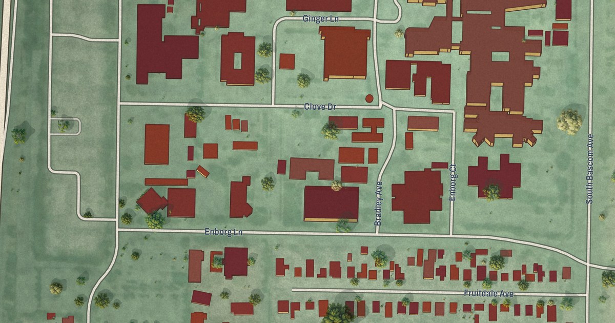
A detailed map of Fruitdale, California, showing every building in its true location, the roads by name, and shaded topographical relief.
Read More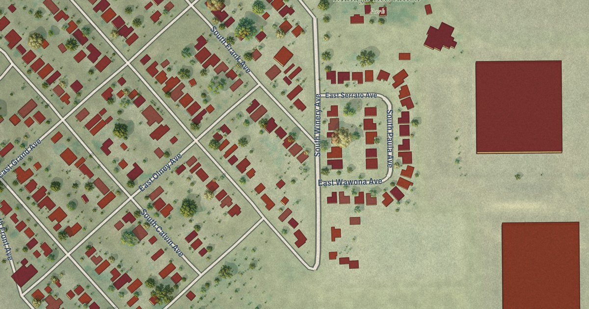
A detailed map of Malaga, California, showing every building in its true location, the roads by name, and shaded topographical relief.
Read More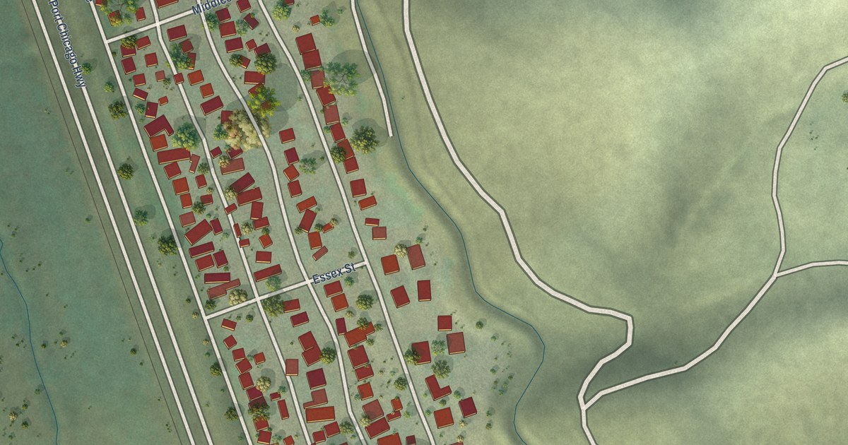
A detailed map of Clyde, California, showing every building in its true location, the roads by name, and shaded topographical relief.
Read More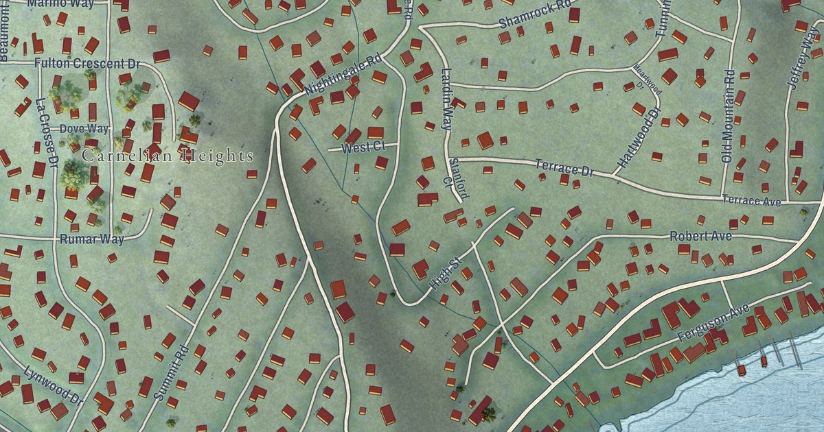
A detailed map of Cedar Flat, California, showing every building in its true location, the roads by name, and shaded topographical relief.
Read More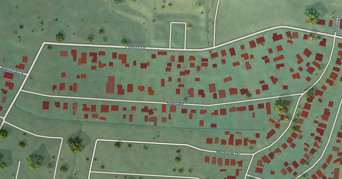
A detailed map of Alto, California, showing every building in its true location, the roads by name, and shaded topographical relief.
Read More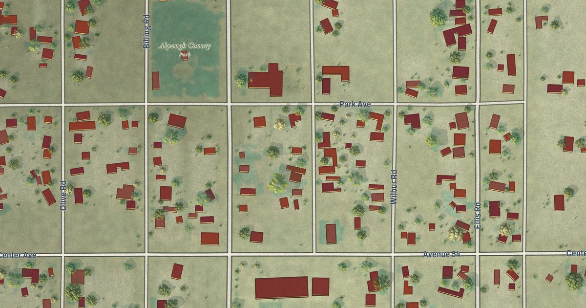
A detailed map of Alpaugh, California, showing every building in its true location, the roads by name, and shaded topographical relief.
Read More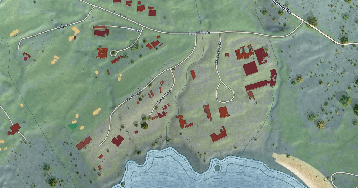
A detailed map of Manele, Hawaii, showing every building in its true location, the roads by name, and shaded topographical relief.
Read More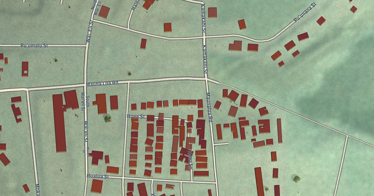
A detailed map of Maunaloa, Hawaii, showing every building in its true location, the roads by name, and shaded topographical relief.
Read More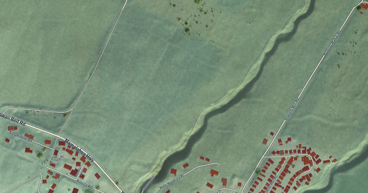
A detailed map of Paauilo, Hawaii, showing every building in its true location, the roads by name, and shaded topographical relief.
Read More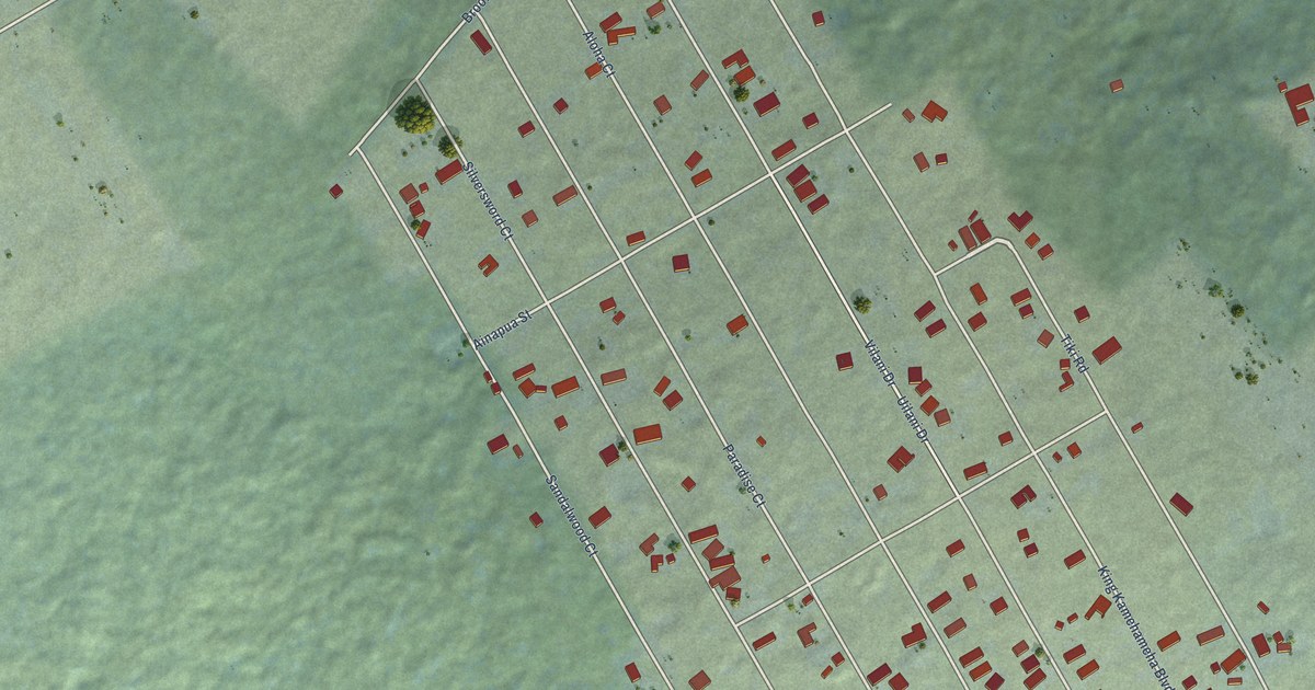
A detailed map of Tiki Gardens, Hawaii, showing every building in its true location, the roads by name, and shaded topographical relief.
Read More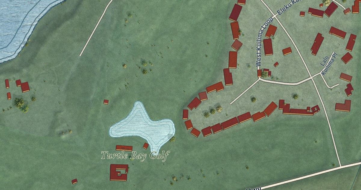
A detailed map of Kawela Bay, Hawaii, showing every building in its true location, the roads by name, and shaded topographical relief.
Read More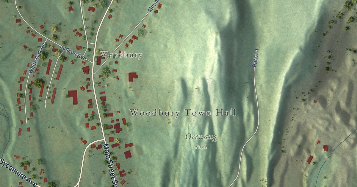
A detailed map of Woodbury Center, Connecticut, showing every building in its true location, the roads by name, and shaded topographical relief.
Read More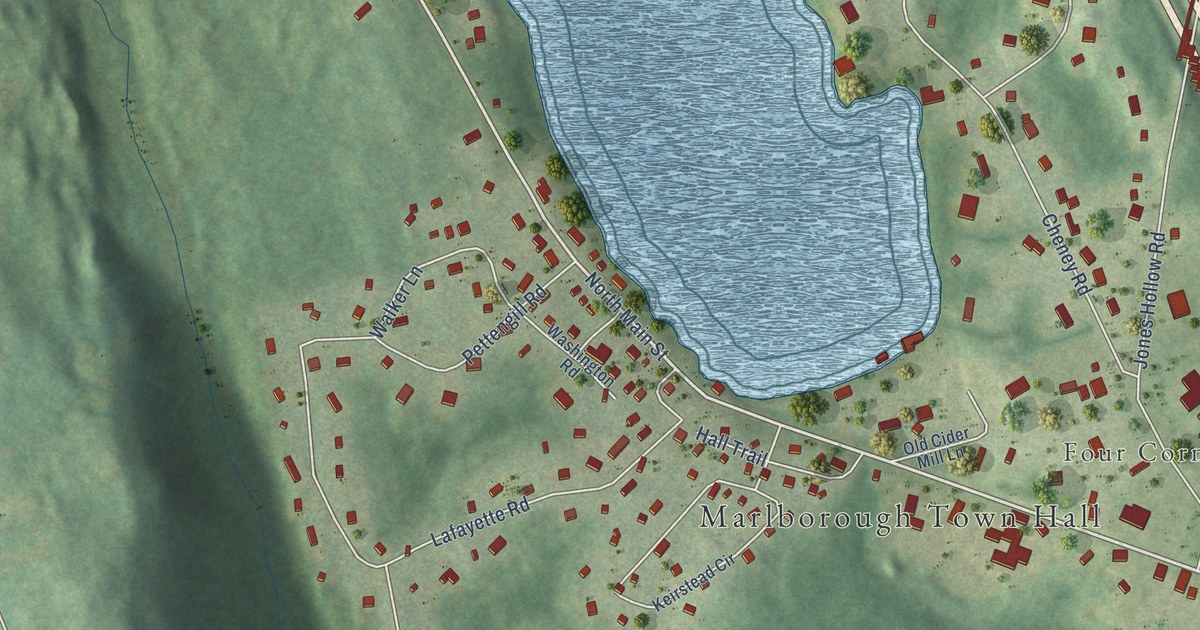
A detailed map of Terramuggus, Connecticut, showing every building in its true location, the roads by name, and shaded topographical relief.
Read More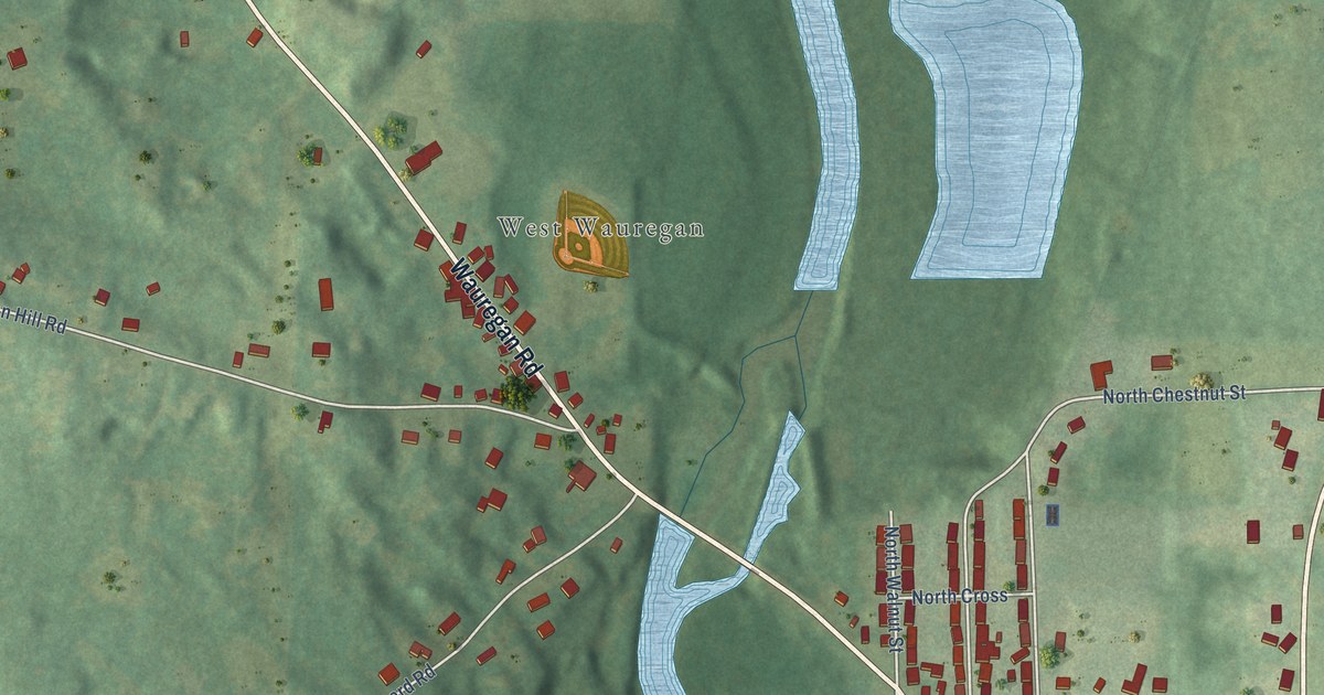
A detailed map of Wauregan, Connecticut, showing every building in its true location, the roads by name, and shaded topographical relief.
Read More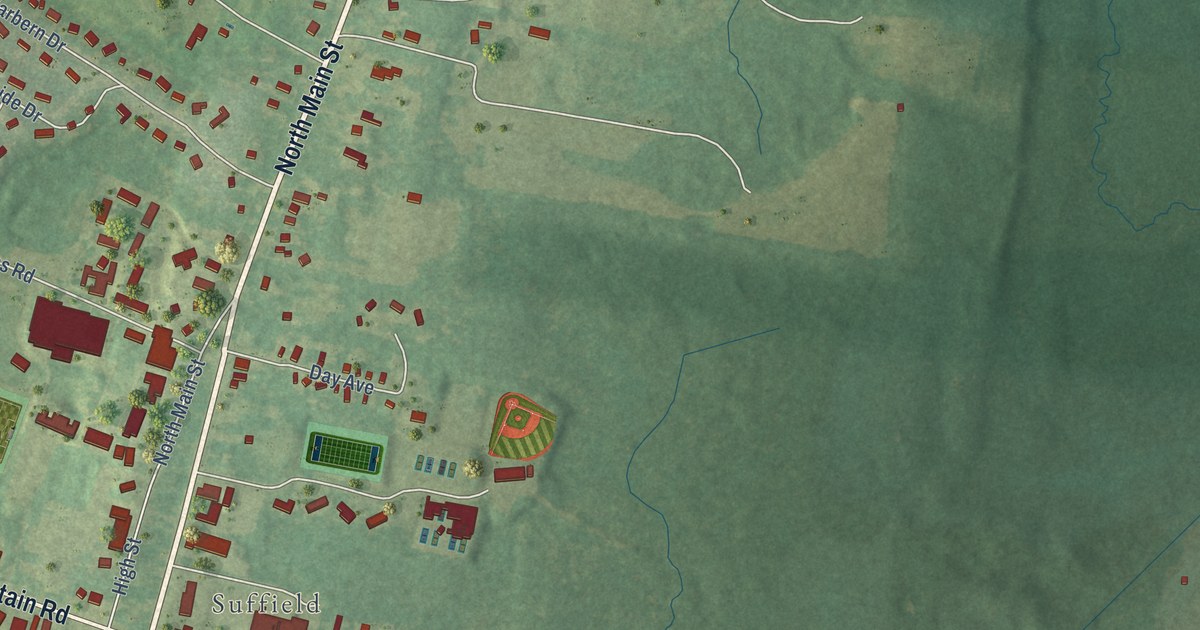
A detailed map of Suffield Depot, Connecticut, showing every building in its true location, the roads by name, and shaded topographical relief.
Read More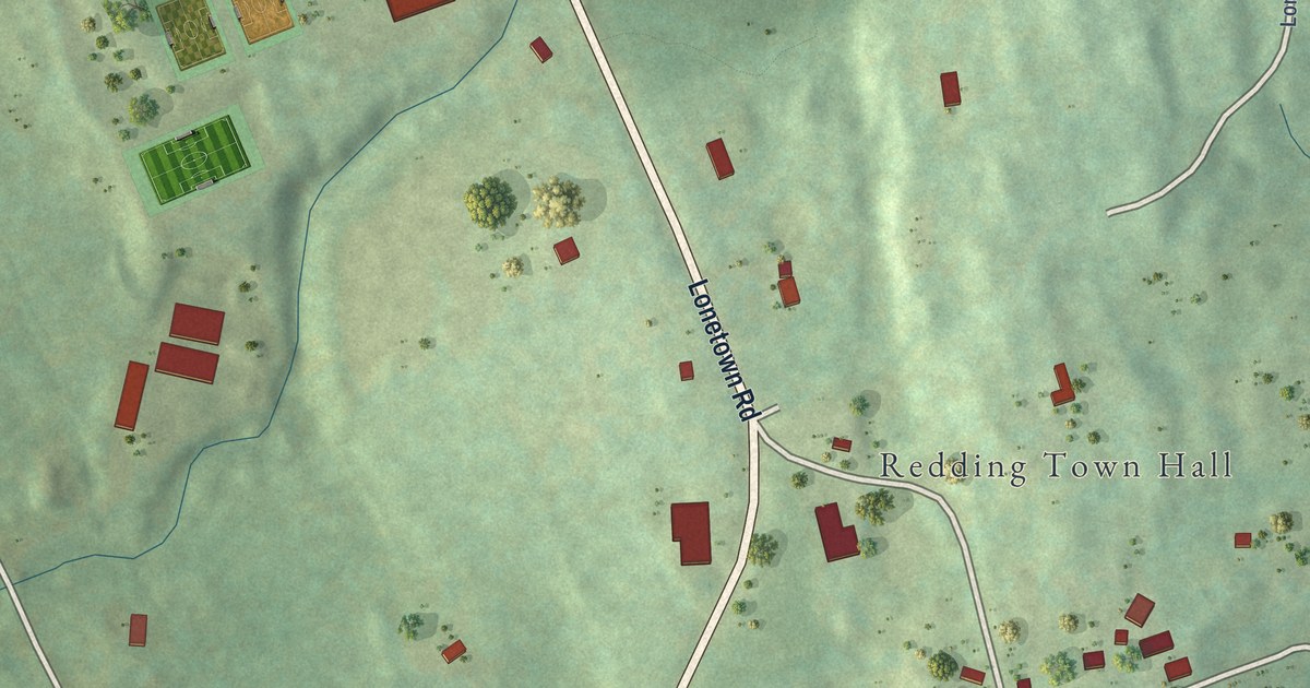
A detailed map of Redding Center, Connecticut, showing every building in its true location, the roads by name, and shaded topographical relief.
Read More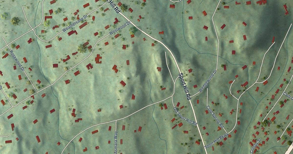
A detailed map of Plattsville, Connecticut, showing every building in its true location, the roads by name, and shaded topographical relief.
Read More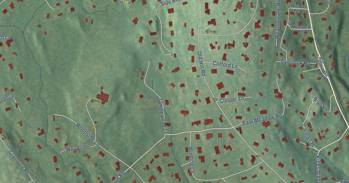
A detailed map of Old Hill, Connecticut, showing every building in its true location, the roads by name, and shaded topographical relief.
Read More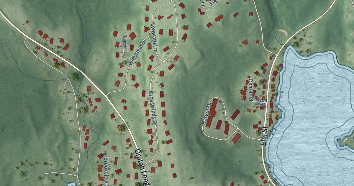
A detailed map of Noank, Connecticut, showing every building in its true location, the roads by name, and shaded topographical relief.
Read More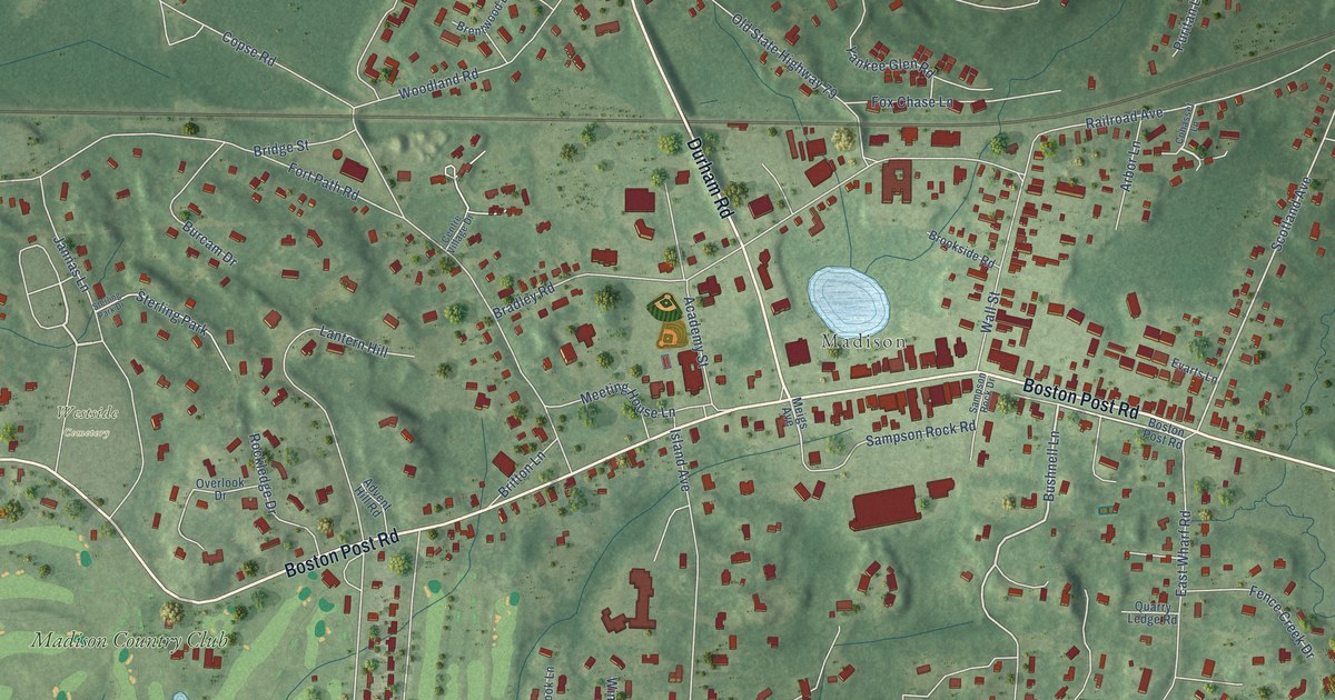
A detailed map of Madison Center, Connecticut, showing every building in its true location, the roads by name, and shaded topographical relief.
Read More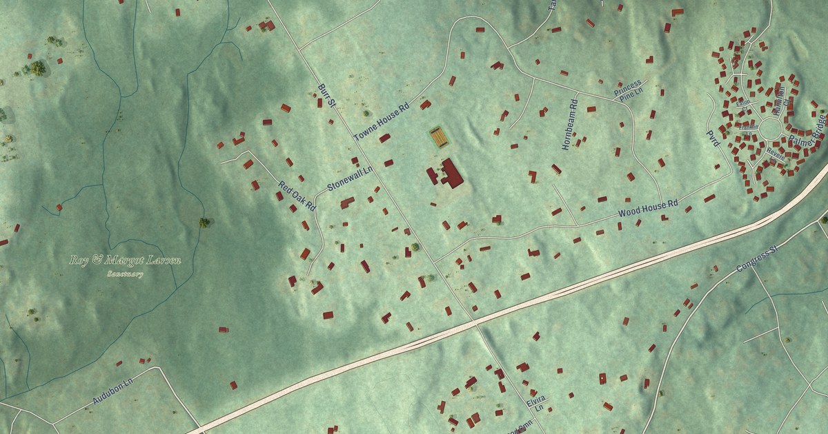
A detailed map of Murray, Connecticut, showing every building in its true location, the roads by name, and shaded topographical relief.
Read More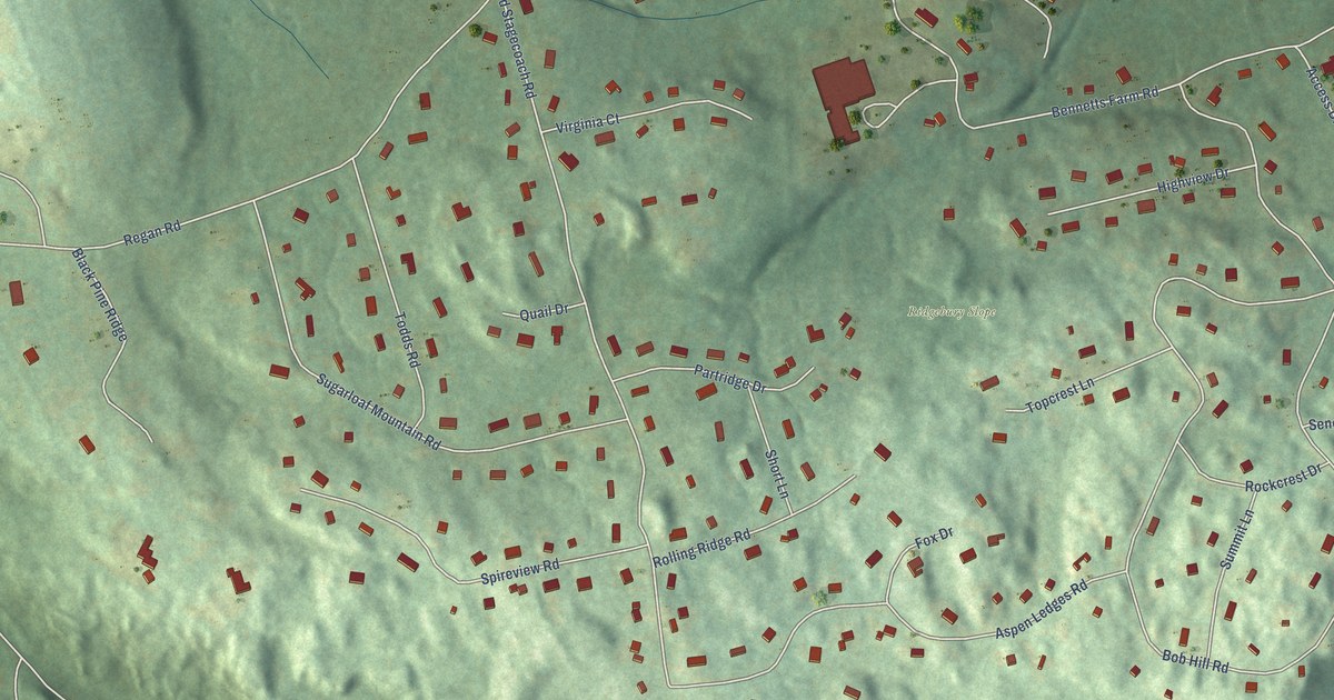
A detailed map of Lakes West, Connecticut, showing every building in its true location, the roads by name, and shaded topographical relief.
Read More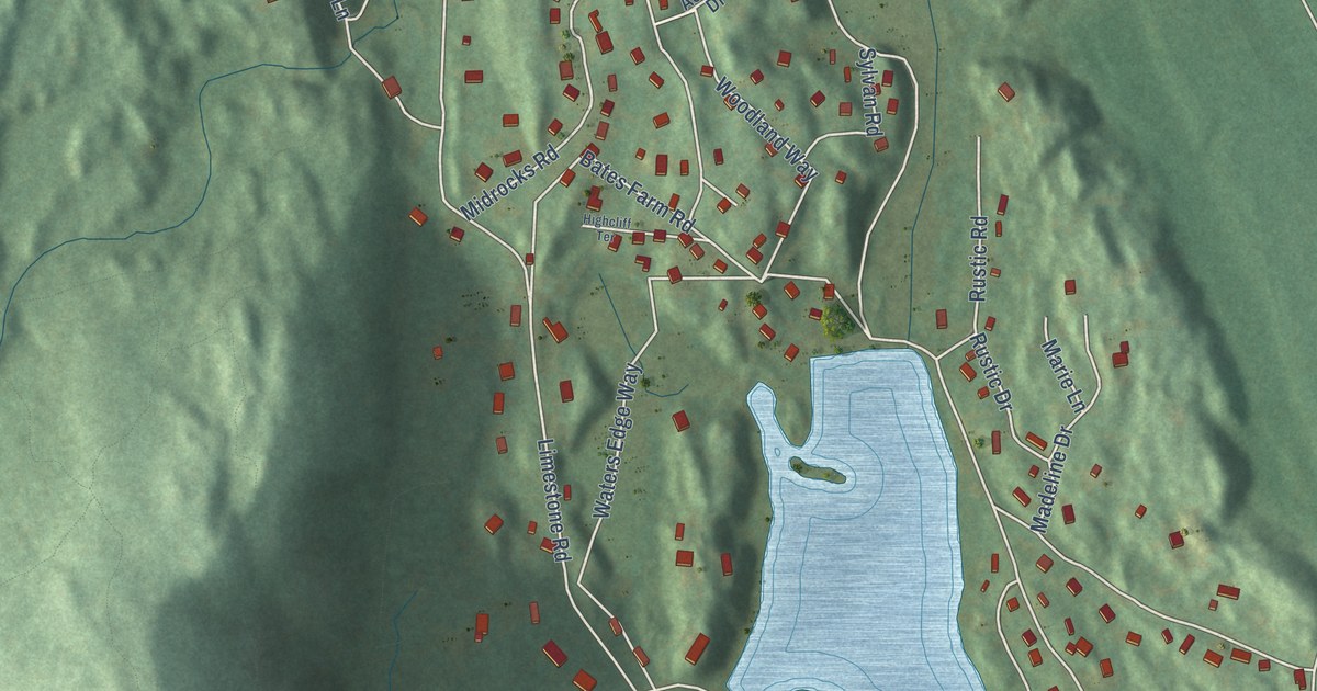
A detailed map of Lakes East, Connecticut, showing every building in its true location, the roads by name, and shaded topographical relief.
Read More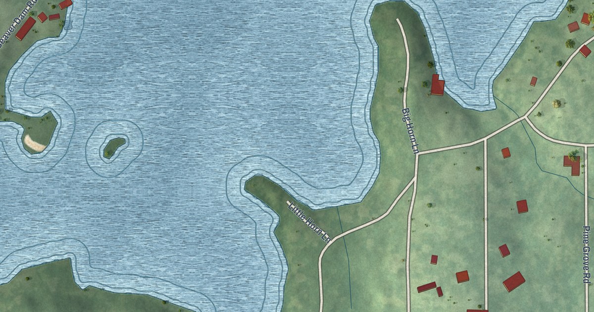
A detailed map of Lake Bungee, Connecticut, showing every building in its true location, the roads by name, and shaded topographical relief.
Read More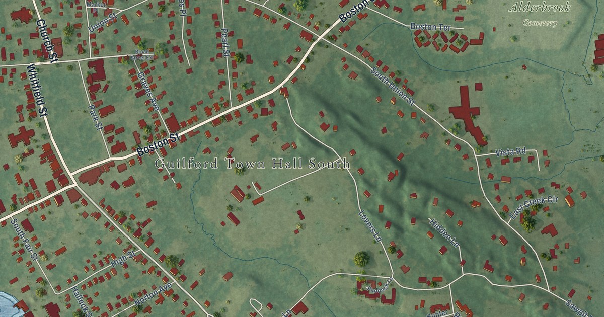
A detailed map of Guilford Center, Connecticut, showing every building in its true location, the roads by name, and shaded topographical relief.
Read More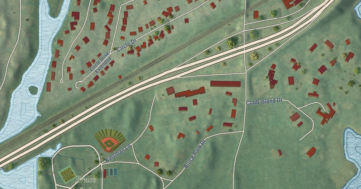
A detailed map of Indian Field, Connecticut, showing every building in its true location, the roads by name, and shaded topographical relief.
Read More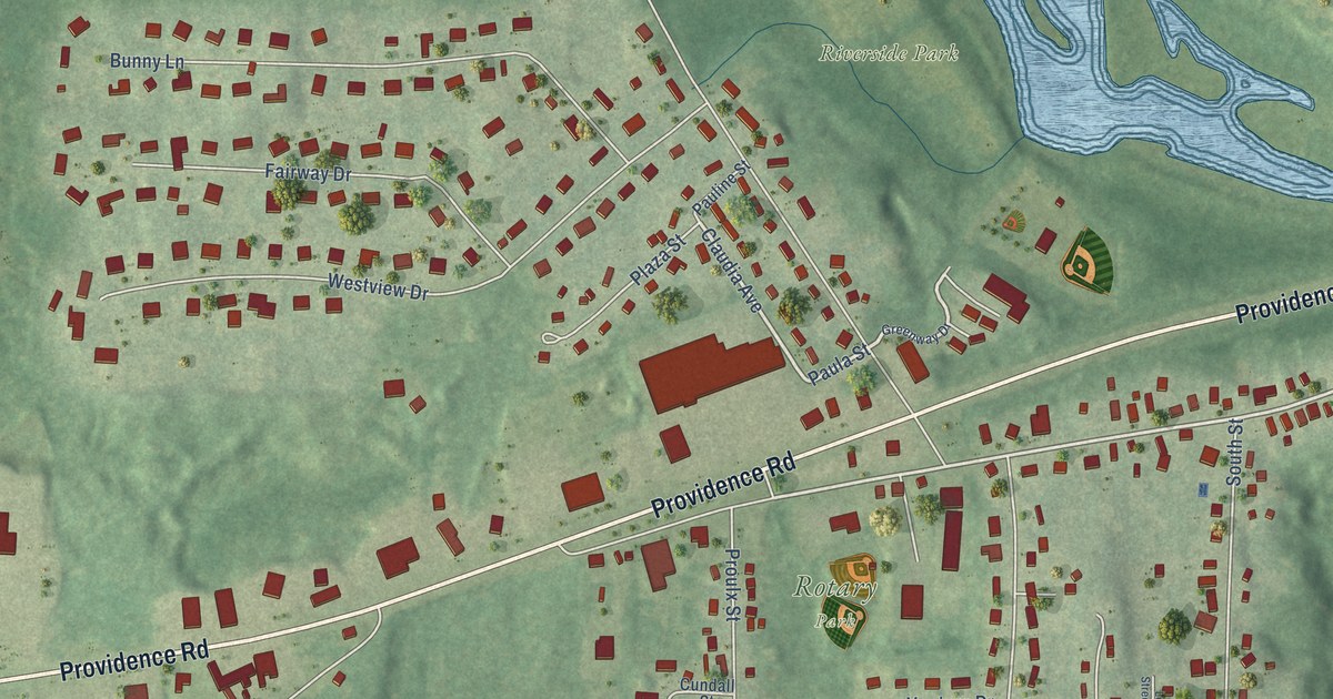
A detailed map of East Brooklyn, Connecticut, showing every building in its true location, the roads by name, and shaded topographical relief.
Read More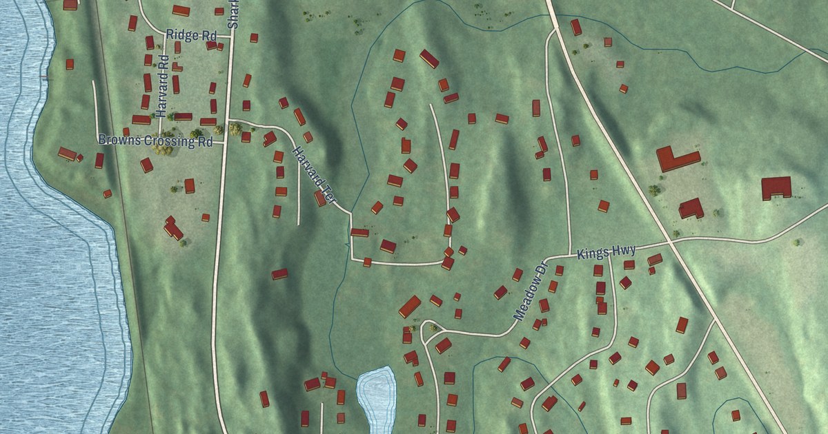
A detailed map of Gales Ferry, Connecticut, showing every building in its true location, the roads by name, and shaded topographical relief.
Read More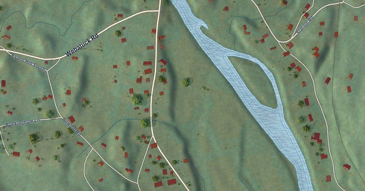
A detailed map of Gaylordsville, Connecticut, showing every building in its true location, the roads by name, and shaded topographical relief.
Read More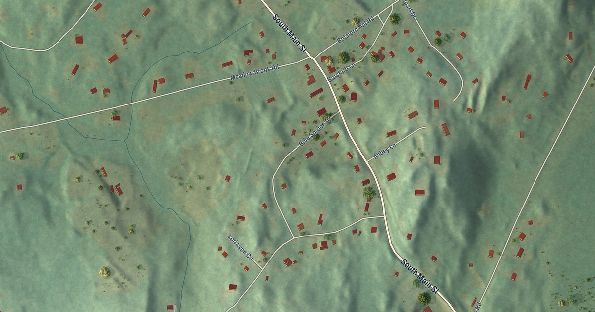
A detailed map of Botsford, Connecticut, showing every building in its true location, the roads by name, and shaded topographical relief.
Read More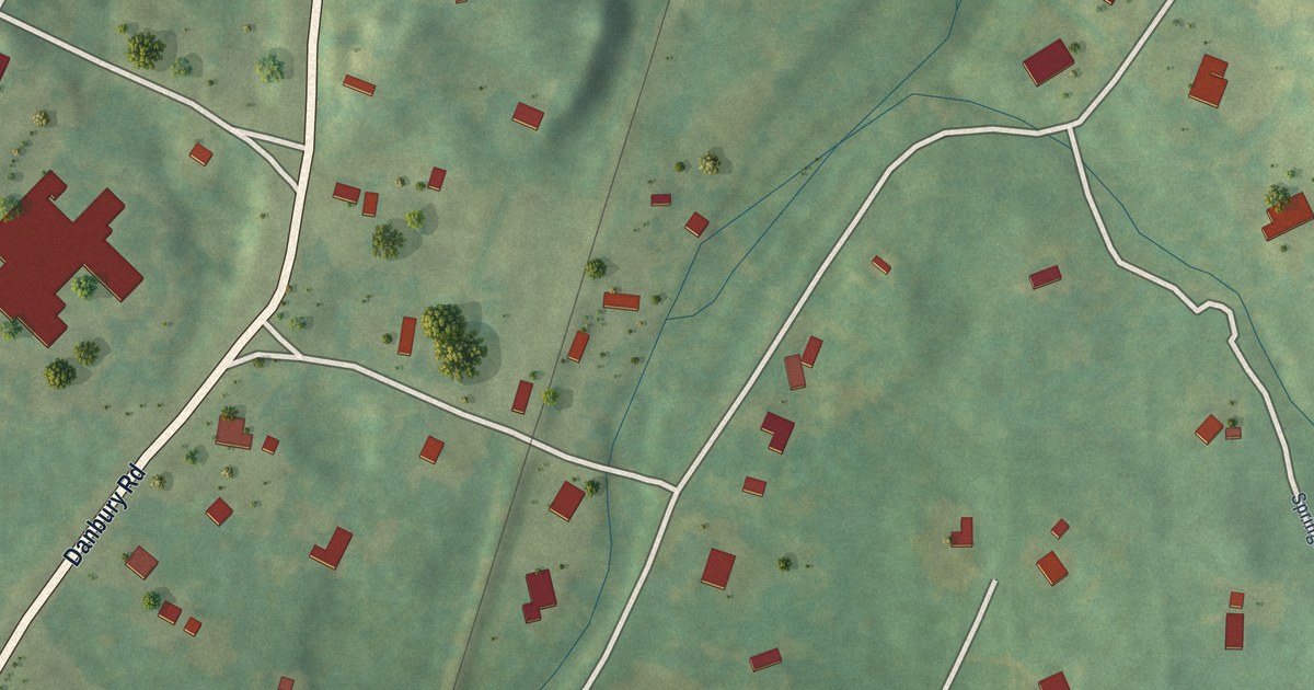
A detailed map of Cannondale, Connecticut, showing every building in its true location, the roads by name, and shaded topographical relief.
Read More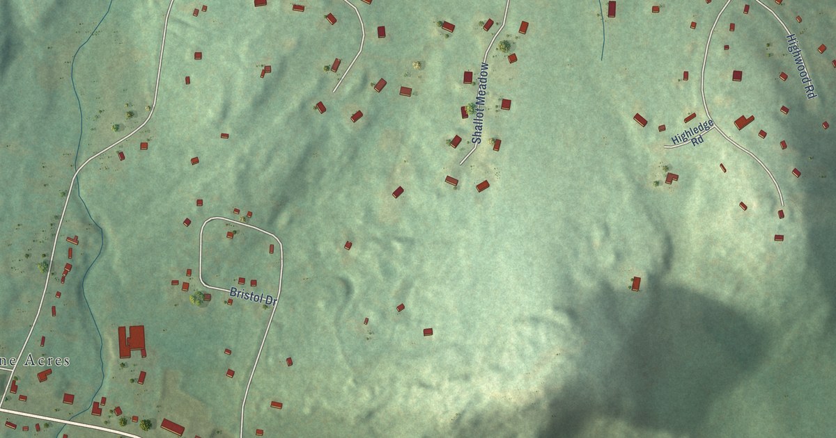
A detailed map of Canton Valley, Connecticut, showing every building in its true location, the roads by name, and shaded topographical relief.
Read More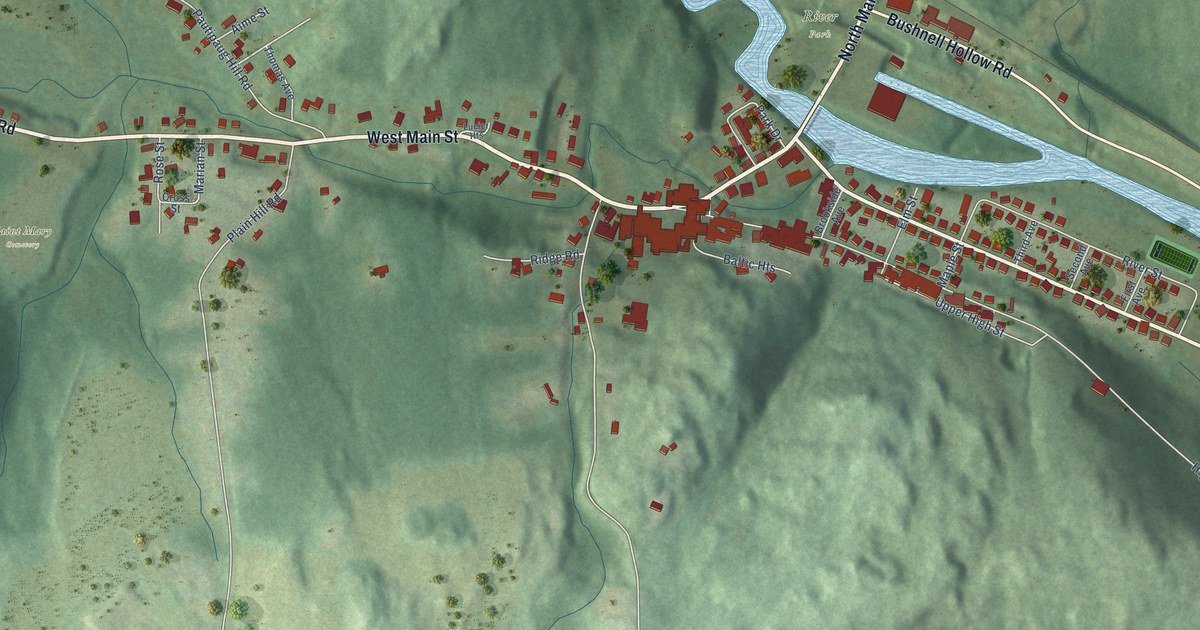
A detailed map of Baltic, Connecticut, showing every building in its true location, the roads by name, and shaded topographical relief.
Read More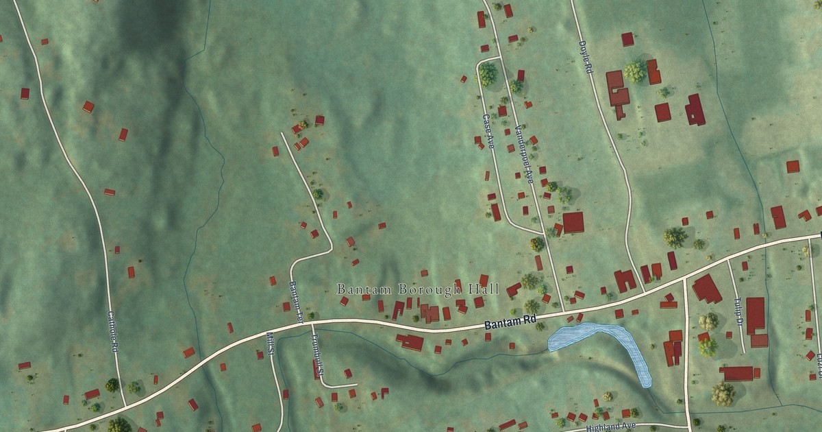
A detailed map of Bantam, Connecticut, showing every building in its true location, the roads by name, and shaded topographical relief.
Read More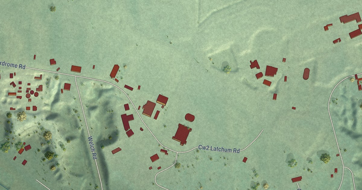
A detailed map of Wheeler AFB, Hawaii, showing every building in its true location, the roads by name, and shaded topographical relief.
Read More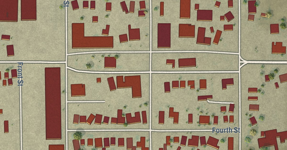
A detailed map of Stratford, California, showing every building in its true location, the roads by name, and shaded topographical relief.
Read More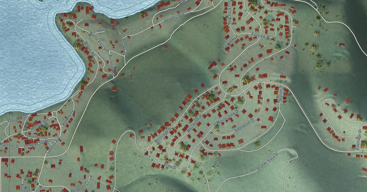
A detailed map of Soda Bay, California, showing every building in its true location, the roads by name, and shaded topographical relief.
Read More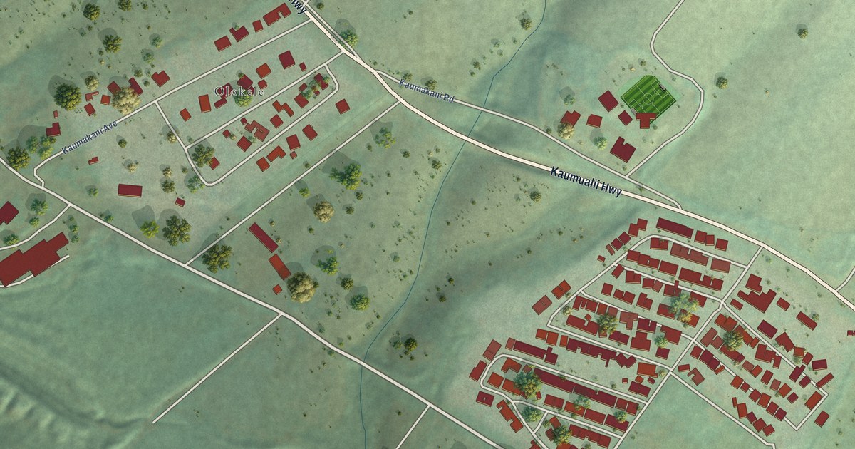
A detailed map of Kaumakani, Hawaii, showing every building in its true location, the roads by name, and shaded topographical relief.
Read More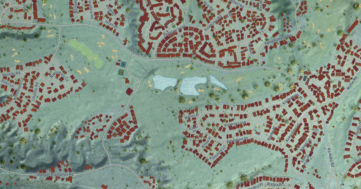
A detailed map of Princeville, Hawaii, showing every building in its true location, the roads by name, and shaded topographical relief.
Read More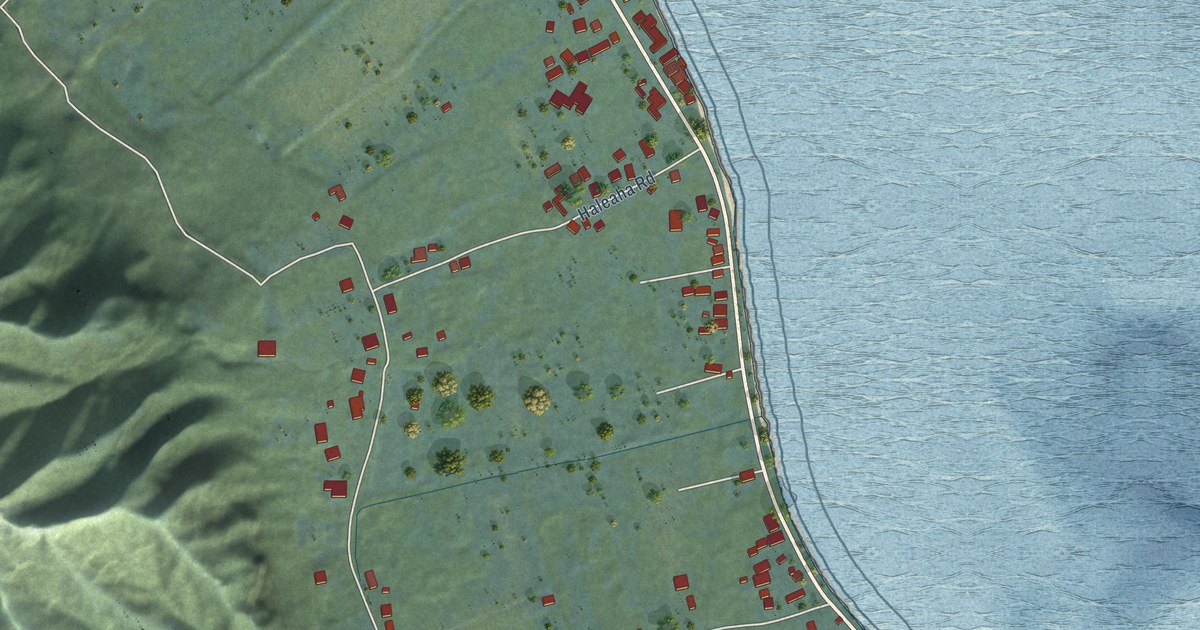
A detailed map of Punaluu, Hawaii, showing every building in its true location, the roads by name, and shaded topographical relief.
Read More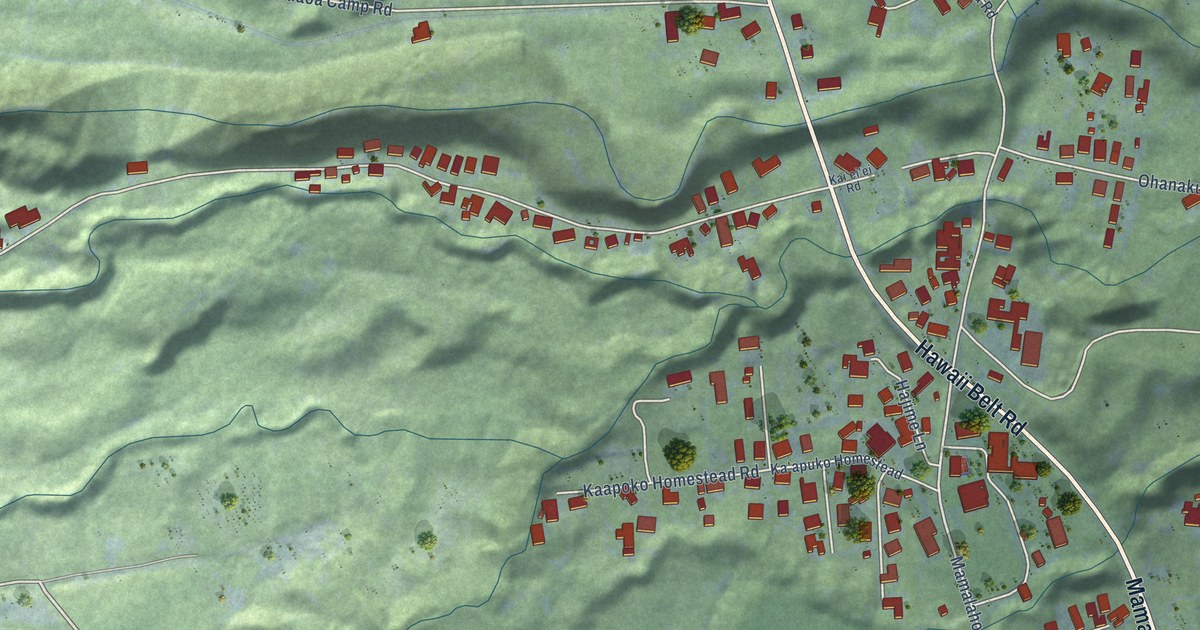
A detailed map of Papaikou, Hawaii, showing every building in its true location, the roads by name, and shaded topographical relief.
Read More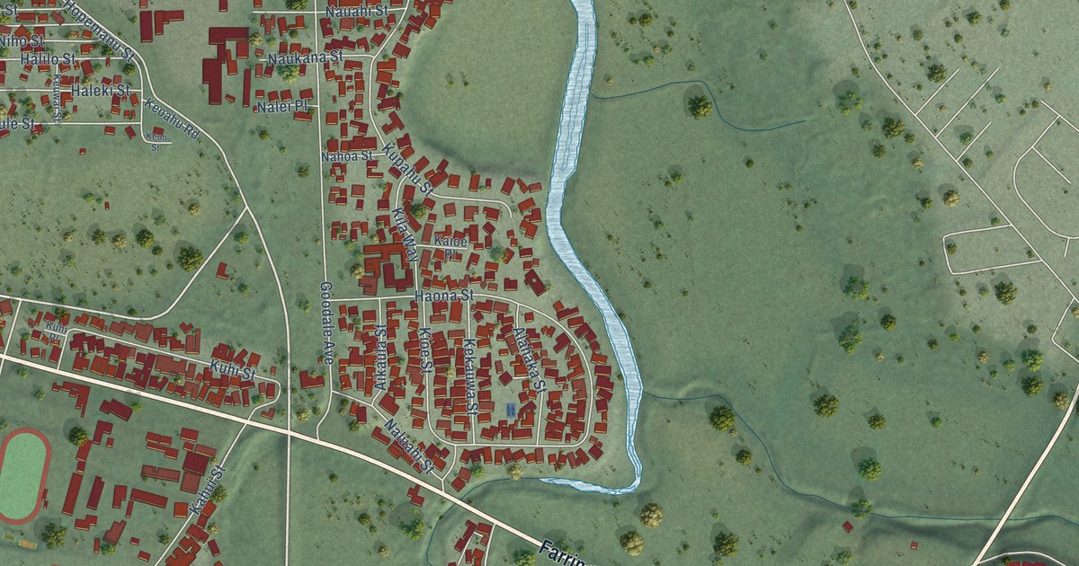
A detailed map of Waialua, Hawaii, showing every building in its true location, the roads by name, and shaded topographical relief.
Read More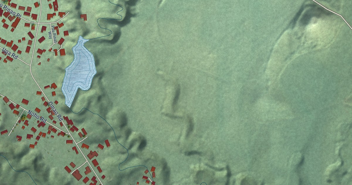
A detailed map of Omao, Hawaii, showing every building in its true location, the roads by name, and shaded topographical relief.
Read More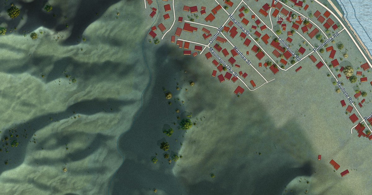
A detailed map of Kaaawa, Hawaii, showing every building in its true location, the roads by name, and shaded topographical relief.
Read More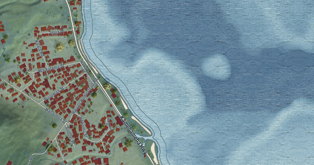
A detailed map of Hauula, Hawaii, showing every building in its true location, the roads by name, and shaded topographical relief.
Read More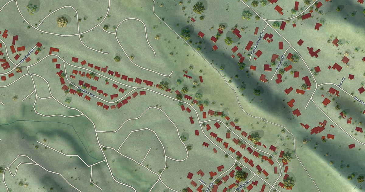
A detailed map of Shell Ridge, California, showing every building in its true location, the roads by name, and shaded topographical relief.
Read More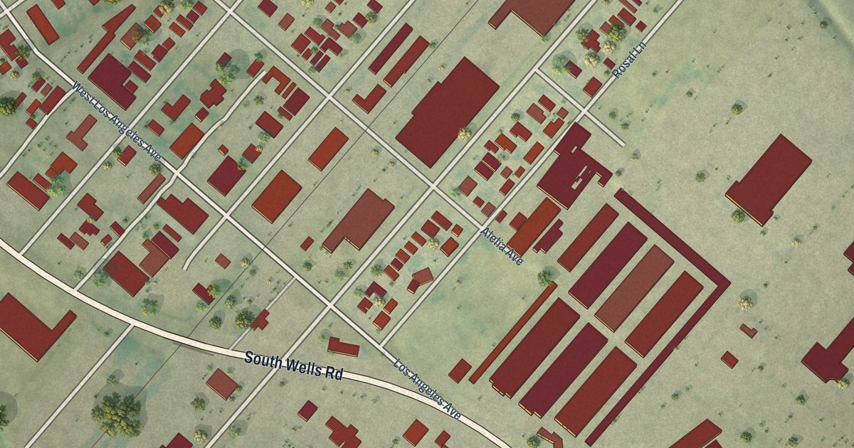
A detailed map of Saticoy, California, showing every building in its true location, the roads by name, and shaded topographical relief.
Read More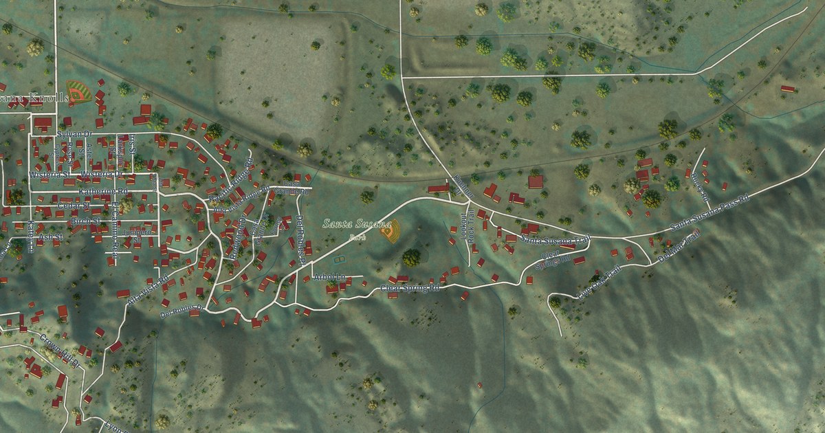
A detailed map of Santa Susana, California, showing every building in its true location, the roads by name, and shaded topographical relief.
Read More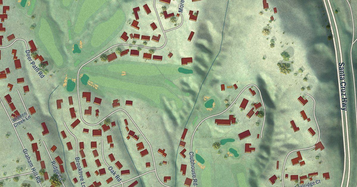
A detailed map of Pasatiempo, California, showing every building in its true location, the roads by name, and shaded topographical relief.
Read More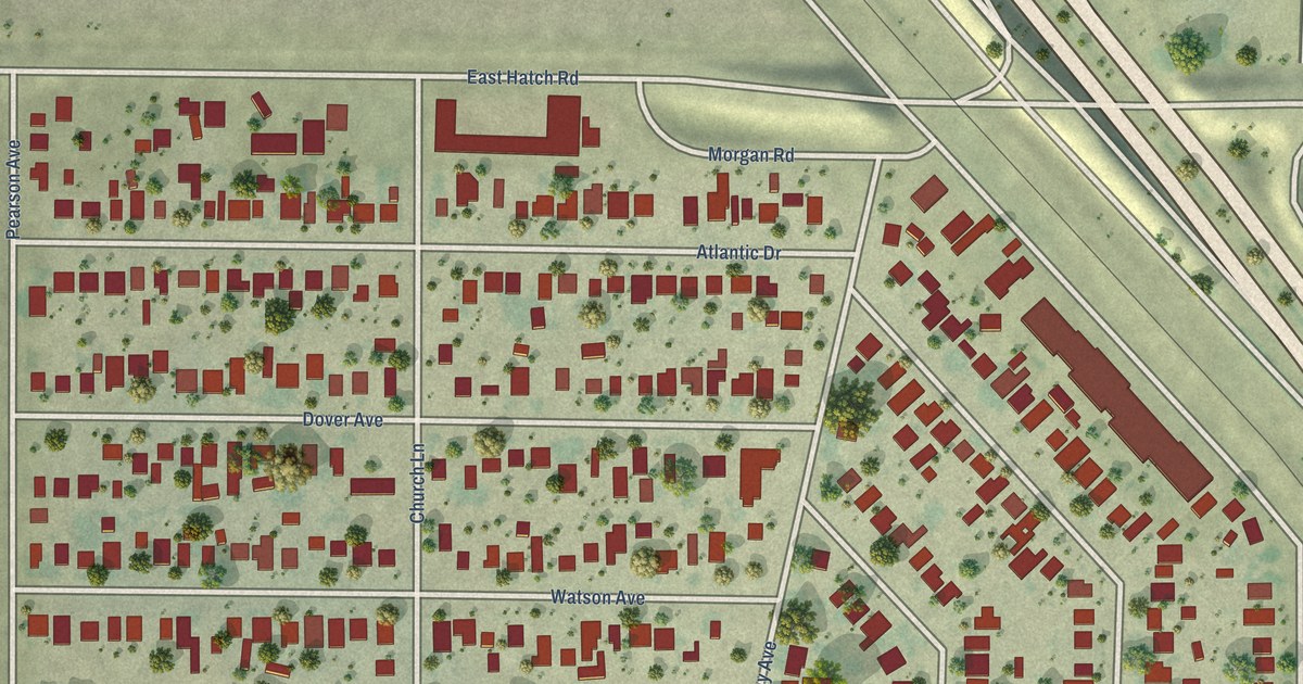
A detailed map of Parklawn, California, showing every building in its true location, the roads by name, and shaded topographical relief.
Read More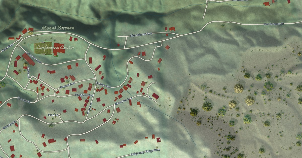
A detailed map of Mount Hermon, California, showing every building in its true location, the roads by name, and shaded topographical relief.
Read More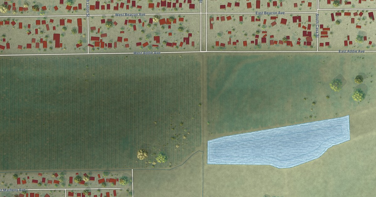
A detailed map of Matheny, California, showing every building in its true location, the roads by name, and shaded topographical relief.
Read More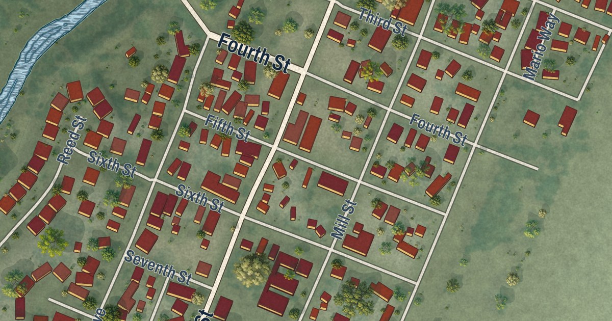
A detailed map of Knights Landing, California, showing every building in its true location, the roads by name, and shaded topographical relief.
Read More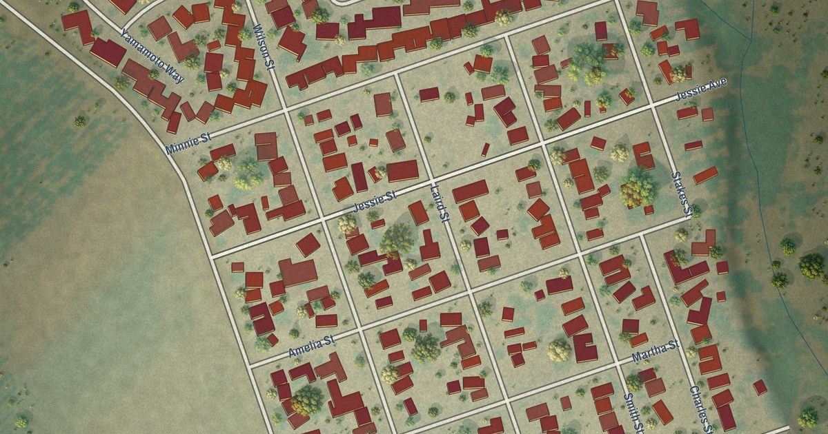
A detailed map of Grayson, California, showing every building in its true location, the roads by name, and shaded topographical relief.
Read More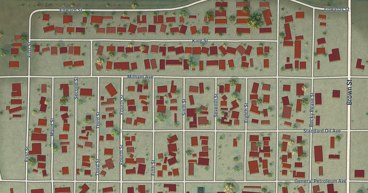
A detailed map of Kettleman City, California, showing every building in its true location, the roads by name, and shaded topographical relief.
Read More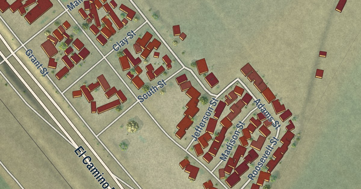
A detailed map of Chualar, California, showing every building in its true location, the roads by name, and shaded topographical relief.
Read More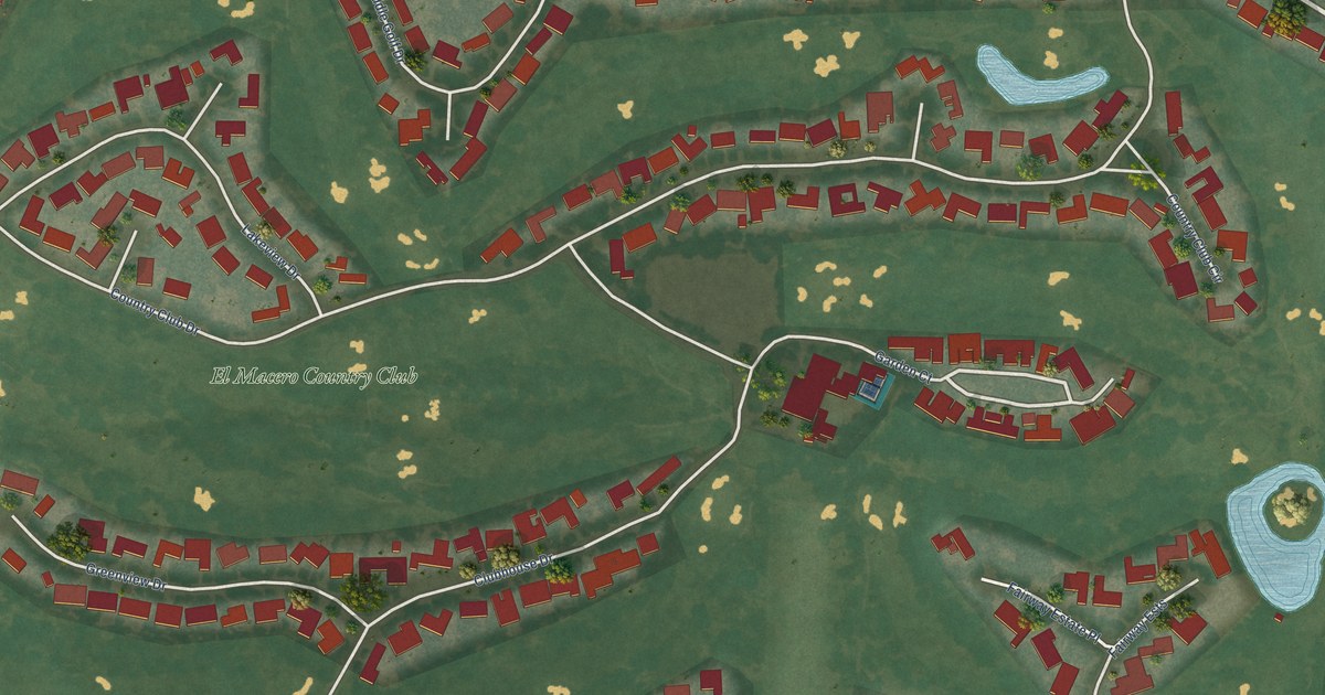
A detailed map of El Macero, California, showing every building in its true location, the roads by name, and shaded topographical relief.
Read More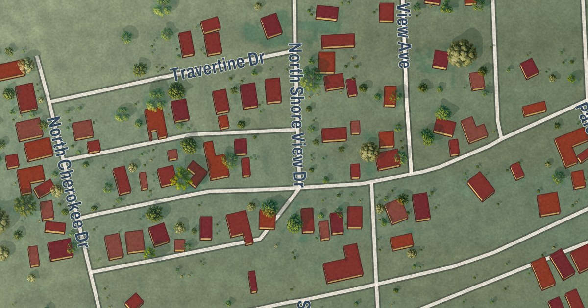
A detailed map of Desert Shores, California, showing every building in its true location, the roads by name, and shaded topographical relief.
Read More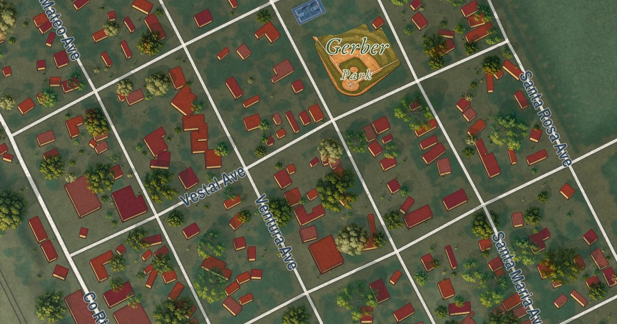
A detailed map of Gerber, California, showing every building in its true location, the roads by name, and shaded topographical relief.
Read More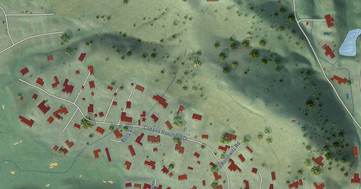
A detailed map of Diablo, California, showing every building in its true location, the roads by name, and shaded topographical relief.
Read More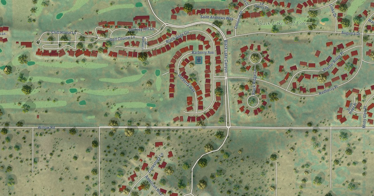
A detailed map of Blacklake, California, showing every building in its true location, the roads by name, and shaded topographical relief.
Read More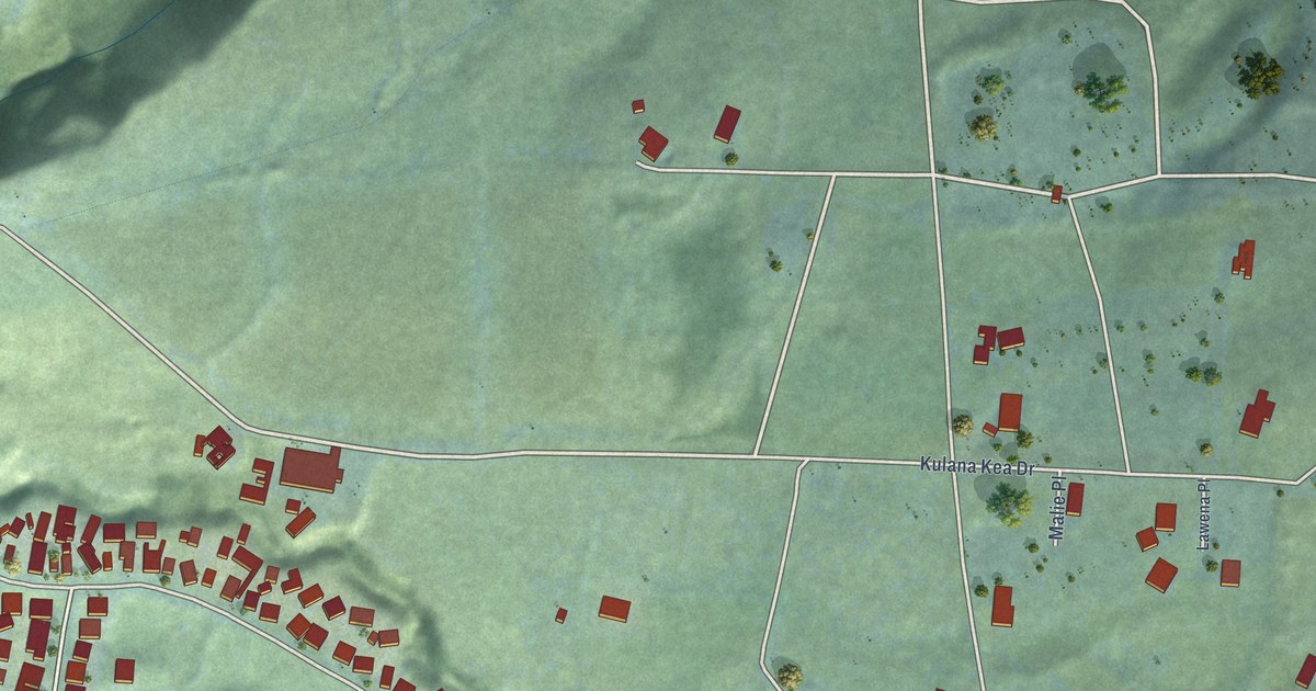
A detailed map of Wainaku, Hawaii, showing every building in its true location, the roads by name, and shaded topographical relief.
Read More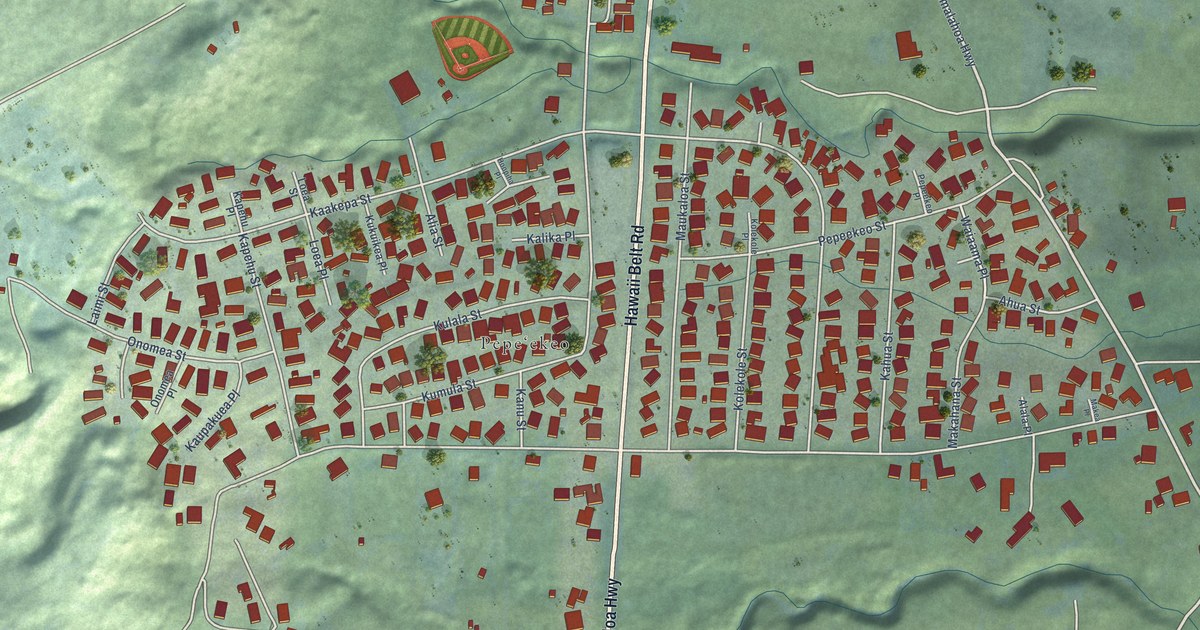
A detailed map of Pepeekeo, Hawaii, showing every building in its true location, the roads by name, and shaded topographical relief.
Read More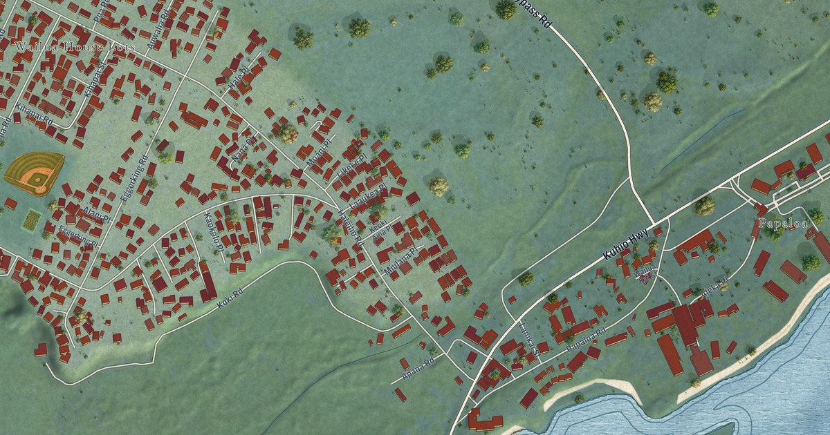
A detailed map of Wailua, Hawaii, showing every building in its true location, the roads by name, and shaded topographical relief.
Read More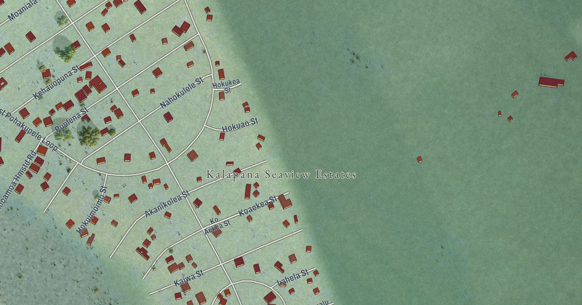
A detailed map of Seaview, Hawaii, showing every building in its true location, the roads by name, and shaded topographical relief.
Read More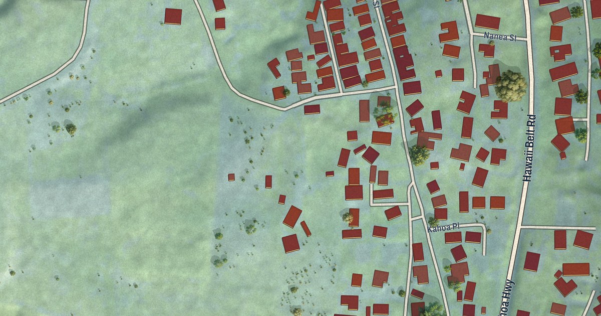
A detailed map of Paukaa, Hawaii, showing every building in its true location, the roads by name, and shaded topographical relief.
Read More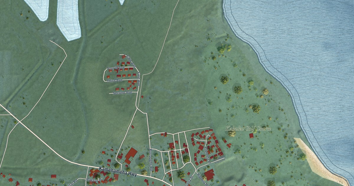
A detailed map of Kahuku, Hawaii, showing every building in its true location, the roads by name, and shaded topographical relief.
Read More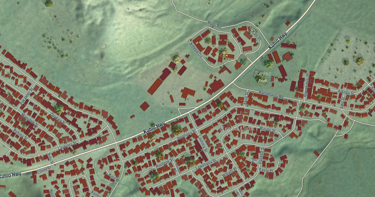
A detailed map of Hanamaulu, Hawaii, showing every building in its true location, the roads by name, and shaded topographical relief.
Read More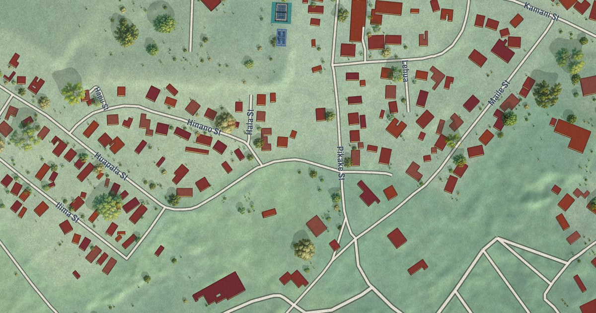
A detailed map of Pahala, Hawaii, showing every building in its true location, the roads by name, and shaded topographical relief.
Read More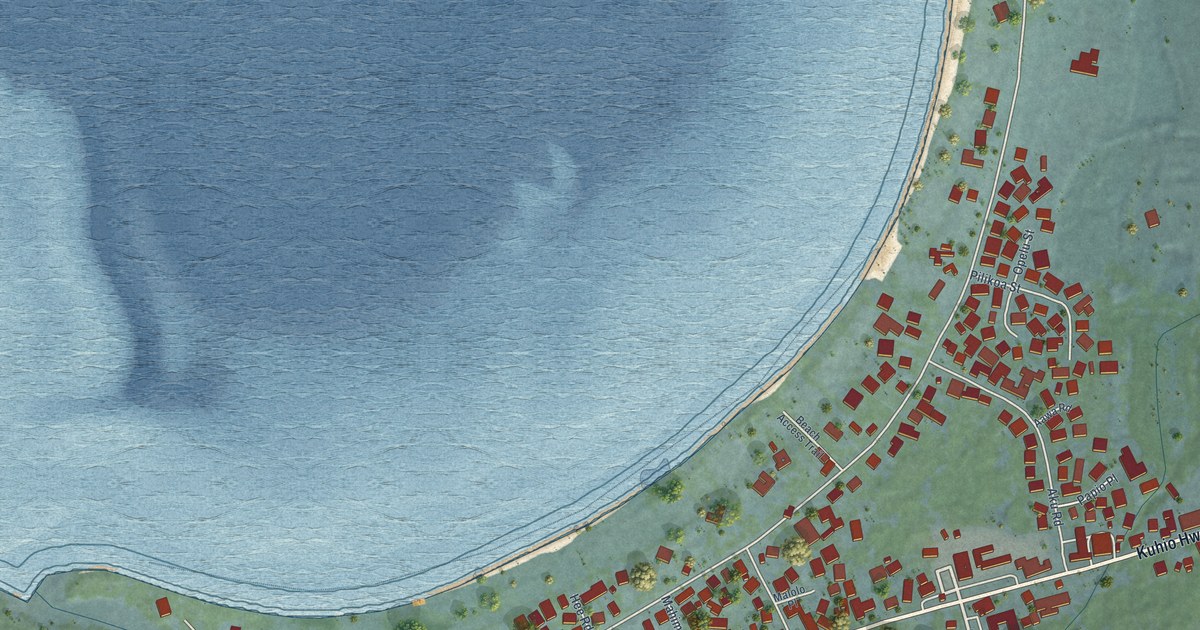
A detailed map of Hanalei, Hawaii, showing every building in its true location, the roads by name, and shaded topographical relief.
Read More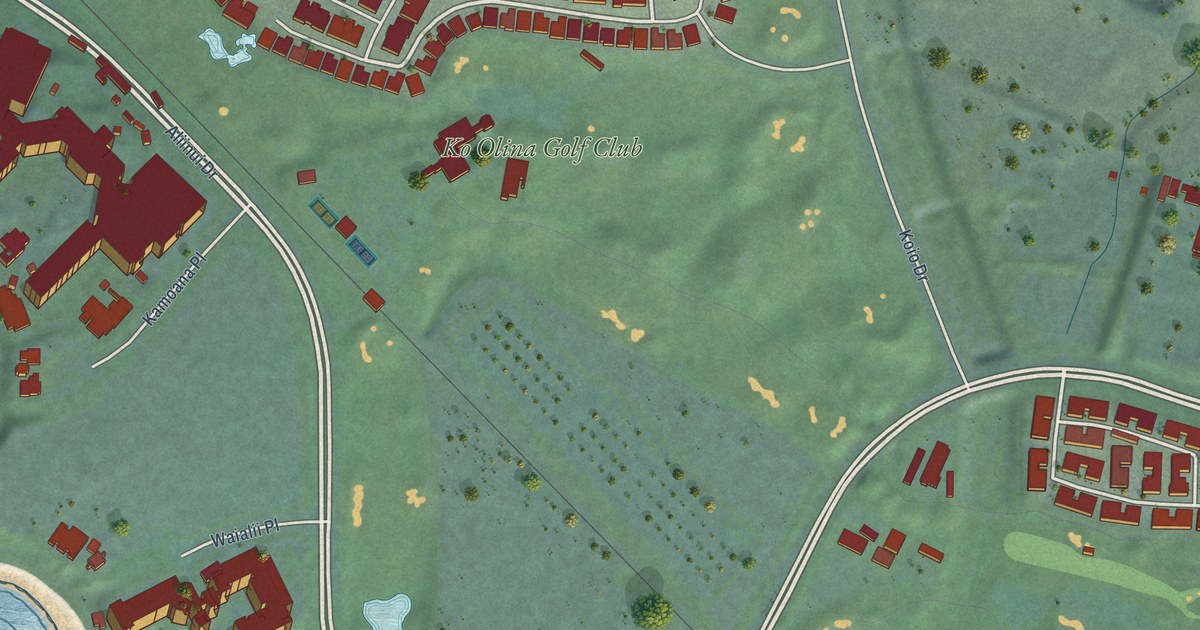
A detailed map of Ko Olina, Hawaii, showing every building in its true location, the roads by name, and shaded topographical relief.
Read More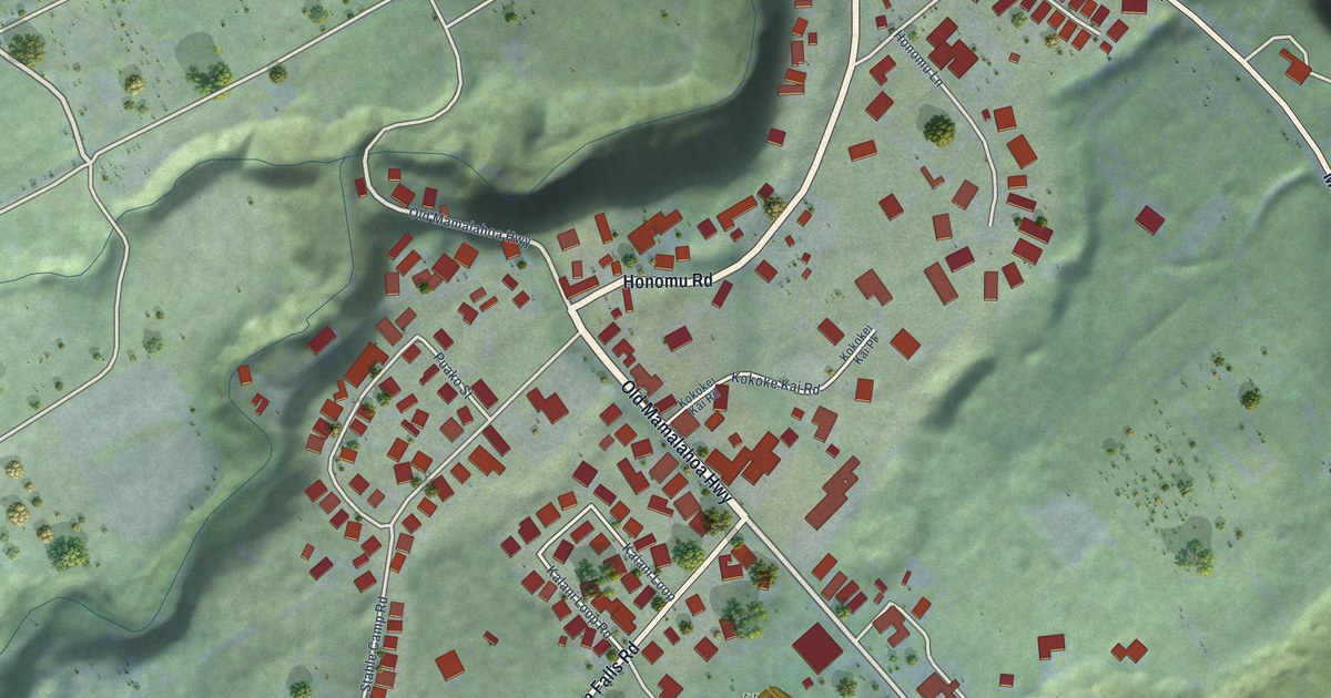
A detailed map of Honomu, Hawaii, showing every building in its true location, the roads by name, and shaded topographical relief.
Read More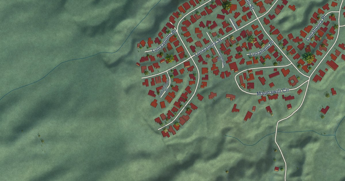
A detailed map of Maunawili, Hawaii, showing every building in its true location, the roads by name, and shaded topographical relief.
Read More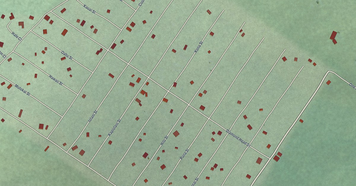
A detailed map of Black Sands, Hawaii, showing every building in its true location, the roads by name, and shaded topographical relief.
Read More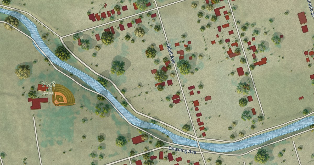
A detailed map of Taft Mosswood, California, showing every building in its true location, the roads by name, and shaded topographical relief.
Read More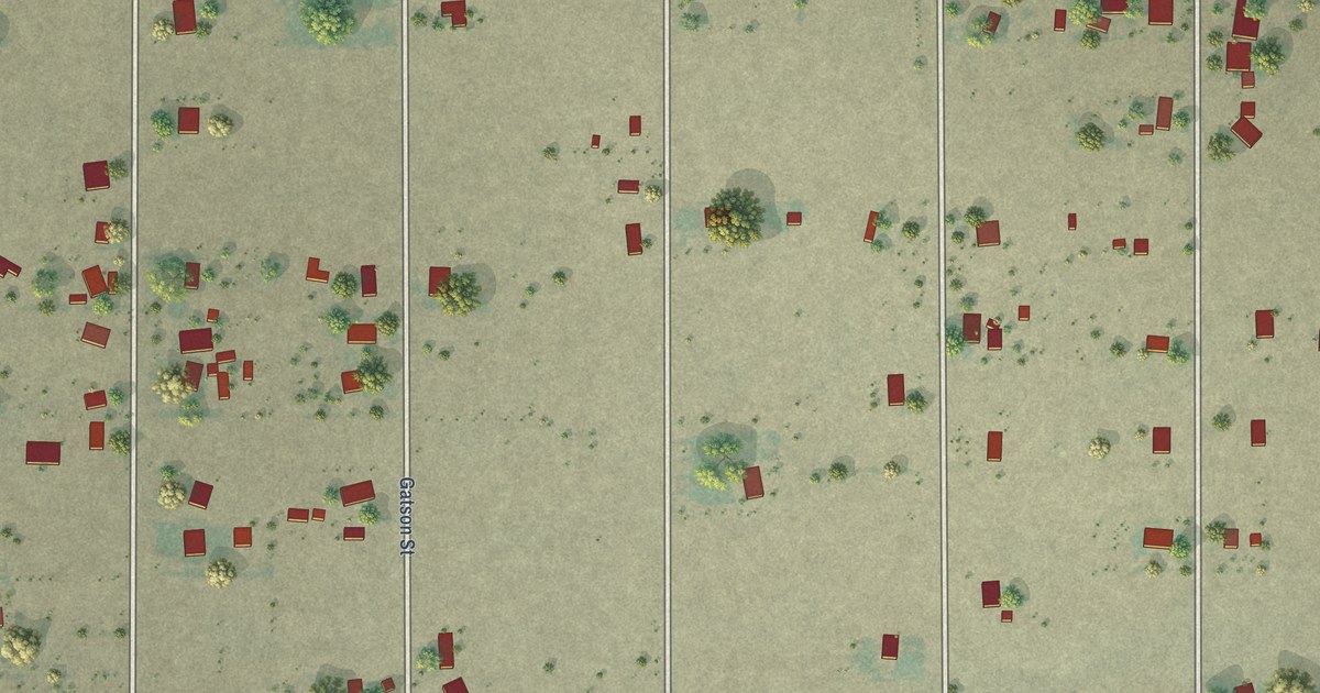
A detailed map of Stebbins, California, showing every building in its true location, the roads by name, and shaded topographical relief.
Read More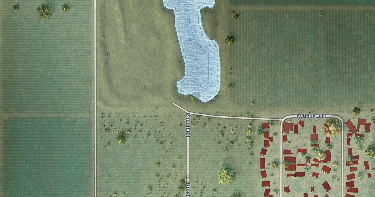
A detailed map of London, California, showing every building in its true location, the roads by name, and shaded topographical relief.
Read More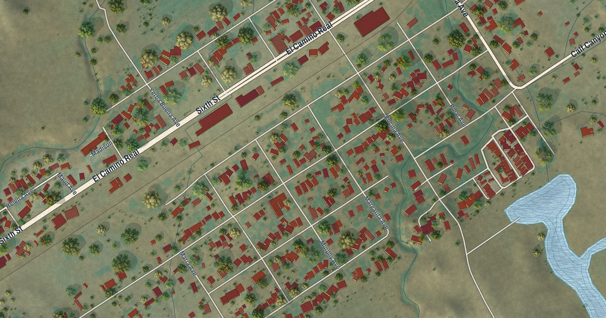
A detailed map of Santa Margarita, California, showing every building in its true location, the roads by name, and shaded topographical relief.
Read More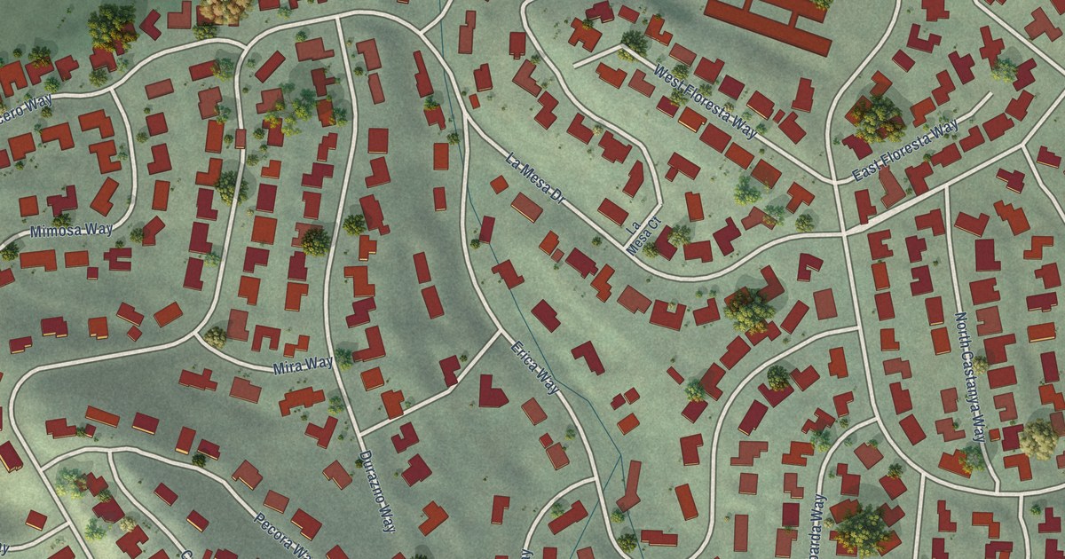
A detailed map of Ladera, California, showing every building in its true location, the roads by name, and shaded topographical relief.
Read More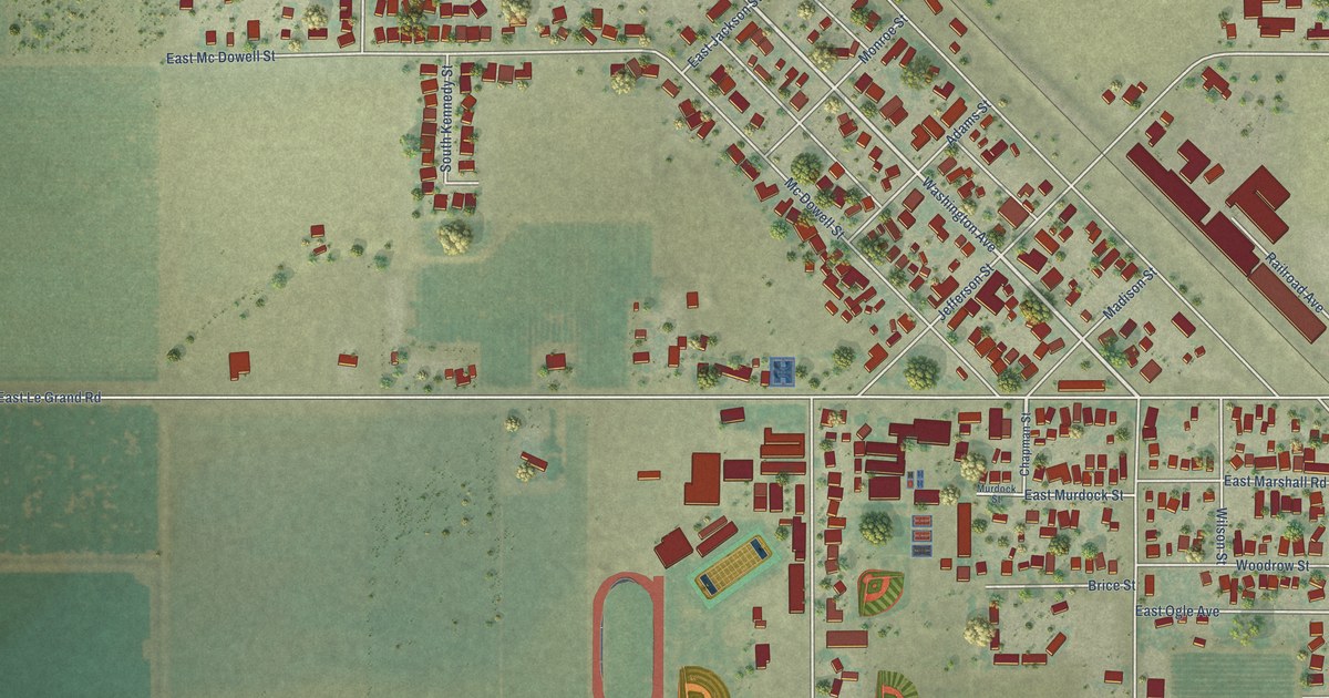
A detailed map of Le Grand, California, showing every building in its true location, the roads by name, and shaded topographical relief.
Read More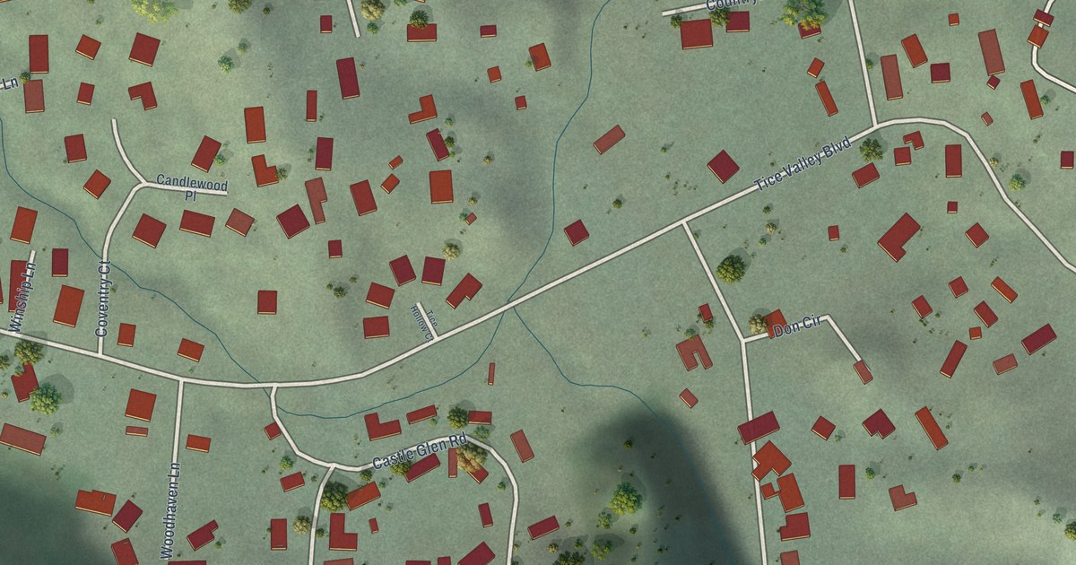
A detailed map of Castle Hill, California, showing every building in its true location, the roads by name, and shaded topographical relief.
Read More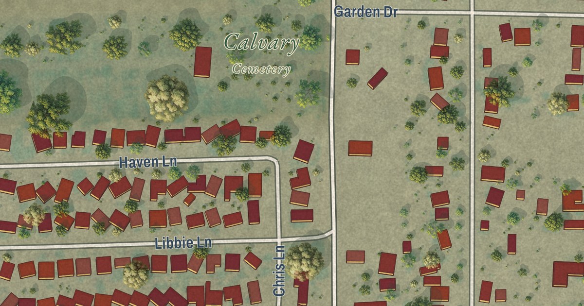
A detailed map of Home Garden, California, showing every building in its true location, the roads by name, and shaded topographical relief.
Read More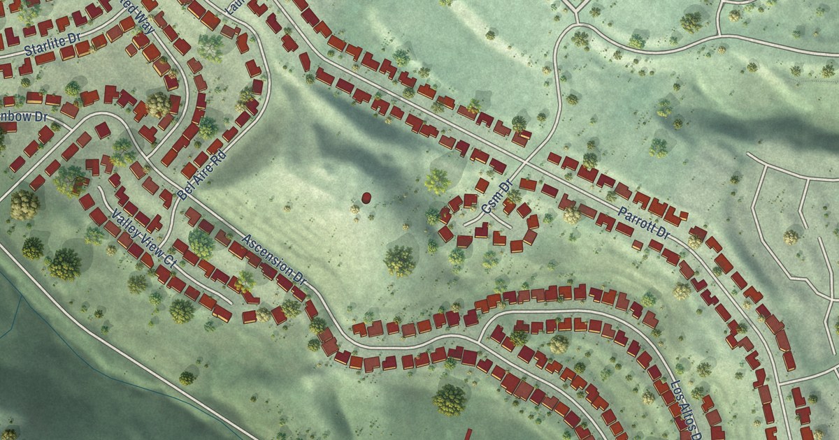
A detailed map of Baywood Park, California, showing every building in its true location, the roads by name, and shaded topographical relief.
Read More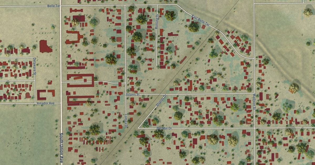
A detailed map of Casa Loma, California, showing every building in its true location, the roads by name, and shaded topographical relief.
Read More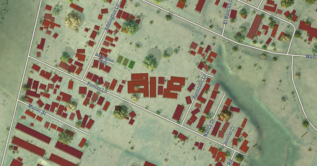
A detailed map of Boronda, California, showing every building in its true location, the roads by name, and shaded topographical relief.
Read More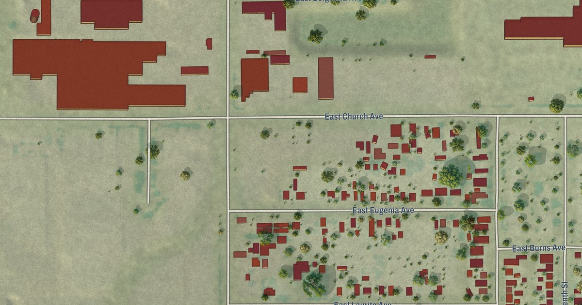
A detailed map of Calwa, California, showing every building in its true location, the roads by name, and shaded topographical relief.
Read More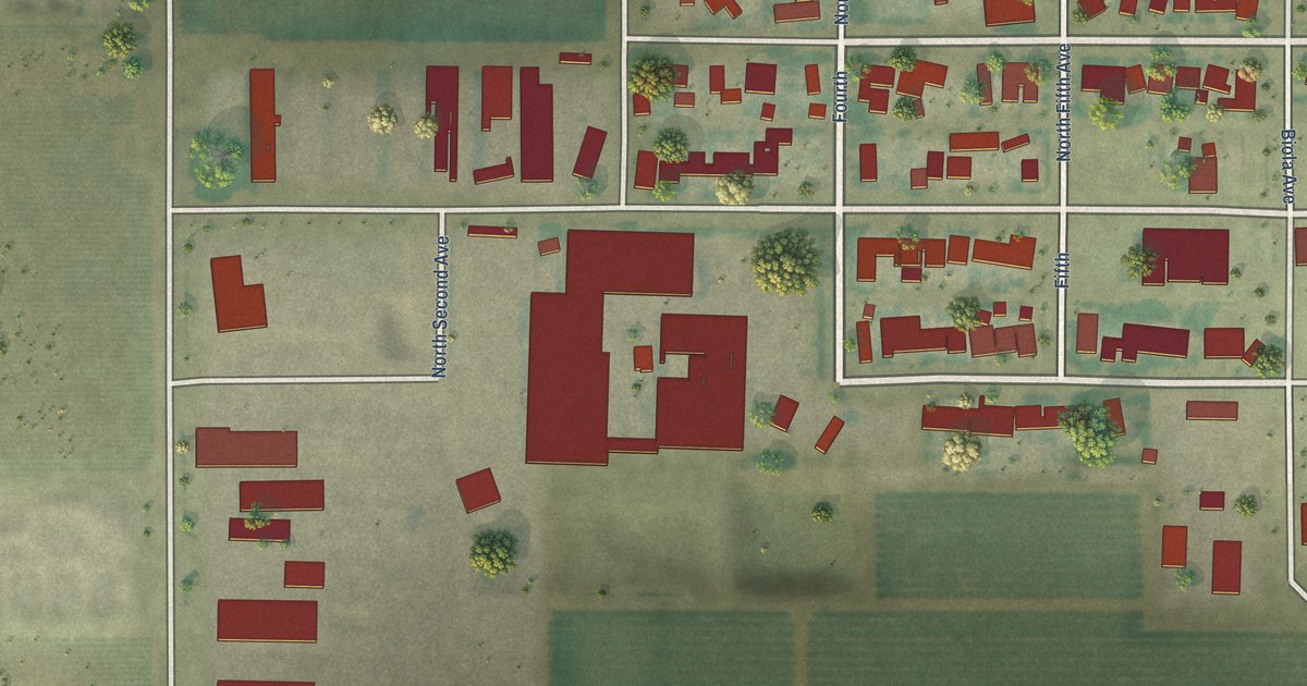
A detailed map of Biola, California, showing every building in its true location, the roads by name, and shaded topographical relief.
Read More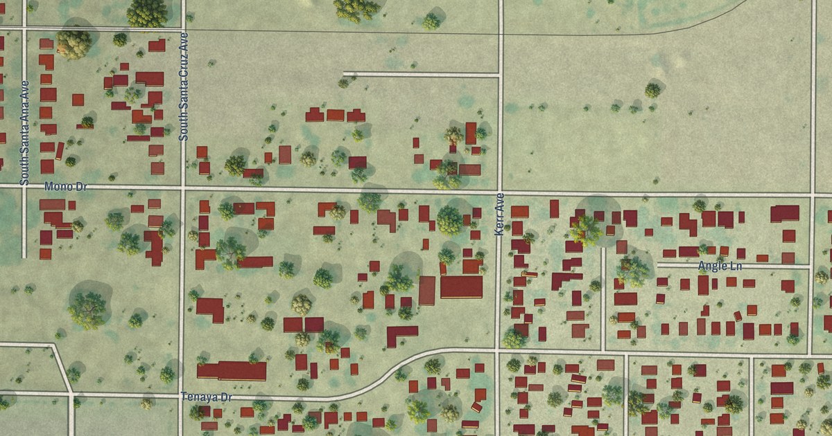
A detailed map of Airport, California, showing every building in its true location, the roads by name, and shaded topographical relief.
Read More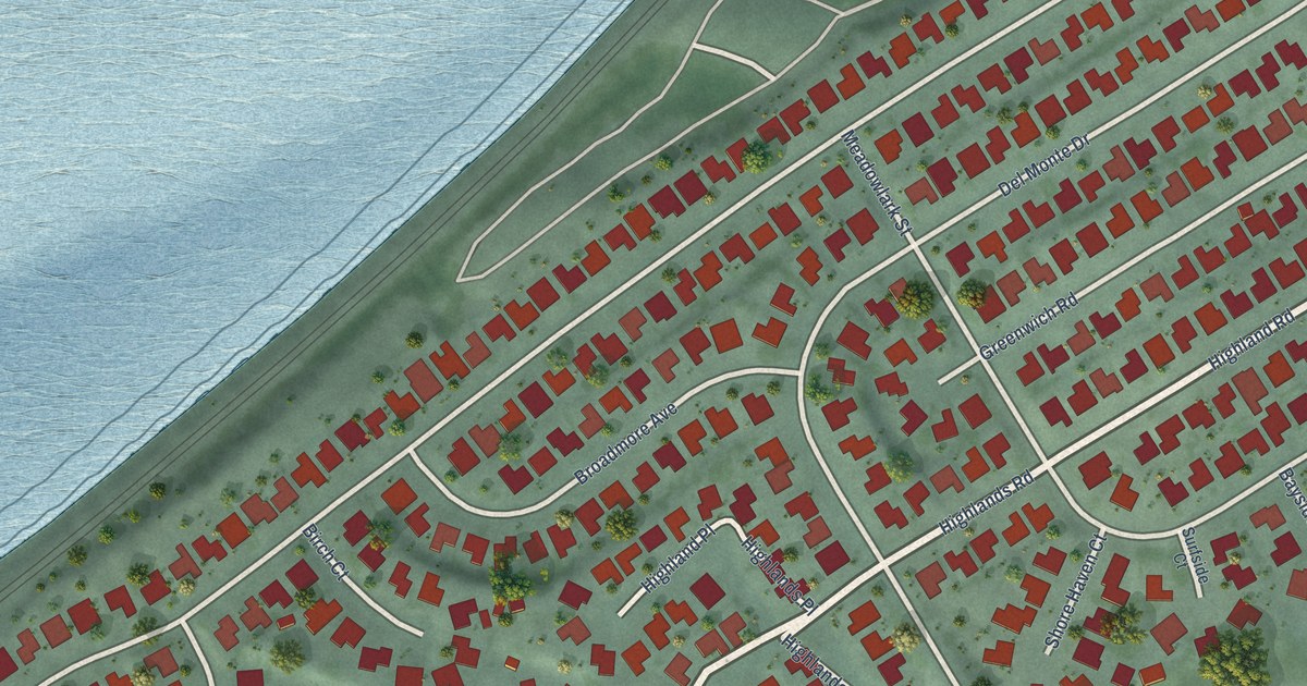
A detailed map of Bayview, California, showing every building in its true location, the roads by name, and shaded topographical relief.
Read More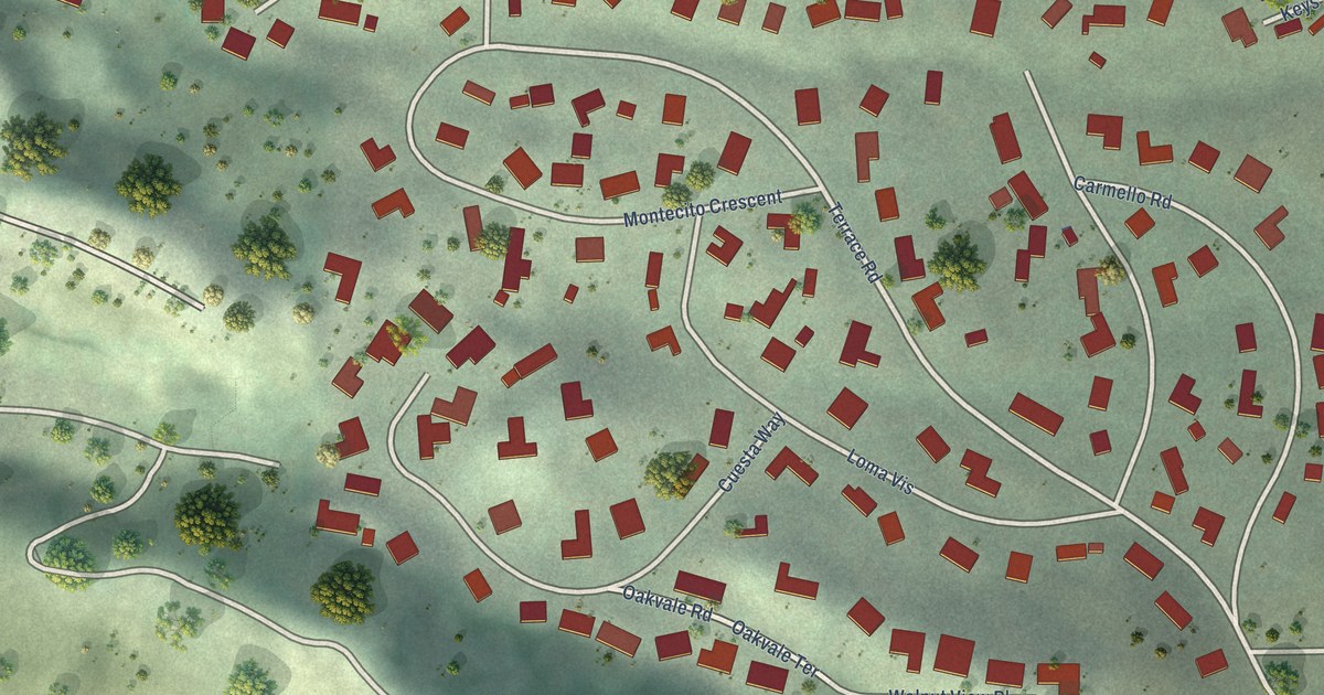
A detailed map of Acalanes Ridge, California, showing every building in its true location, the roads by name, and shaded topographical relief.
Read More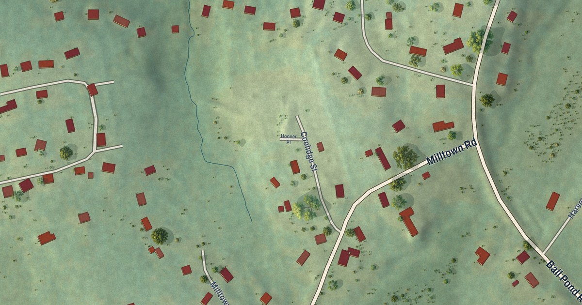
A detailed map of Taylor Corners, Connecticut, showing every building in its true location, the roads by name, and shaded topographical relief.
Read More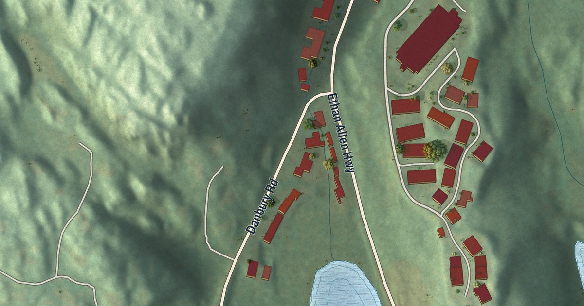
A detailed map of Route 7 Gateway, Connecticut, showing every building in its true location, the roads by name, and shaded topographical relief.
Read More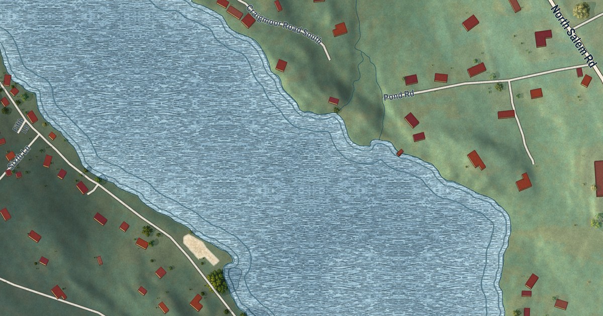
A detailed map of Mamanasco Lake, Connecticut, showing every building in its true location, the roads by name, and shaded topographical relief.
Read More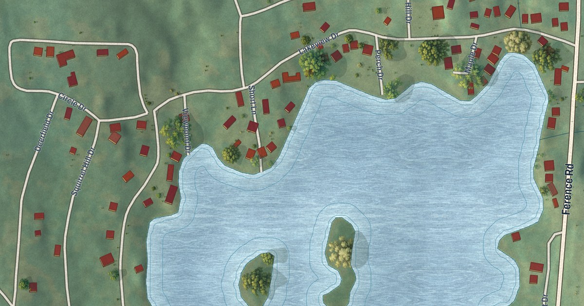
A detailed map of Lake Chaffee, Connecticut, showing every building in its true location, the roads by name, and shaded topographical relief.
Read More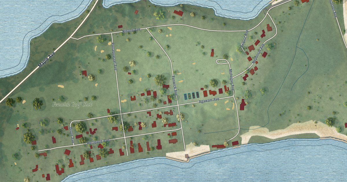
A detailed map of Fenwick, Connecticut, showing every building in its true location, the roads by name, and shaded topographical relief.
Read More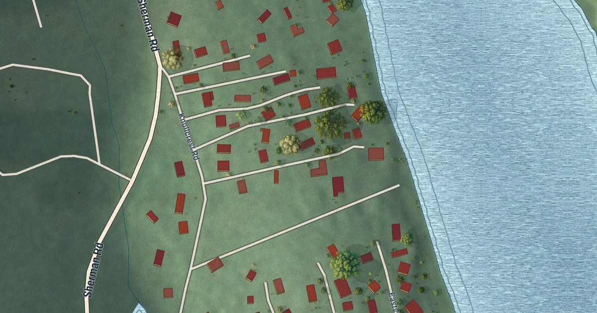
A detailed map of Knollcrest, Connecticut, showing every building in its true location, the roads by name, and shaded topographical relief.
Read More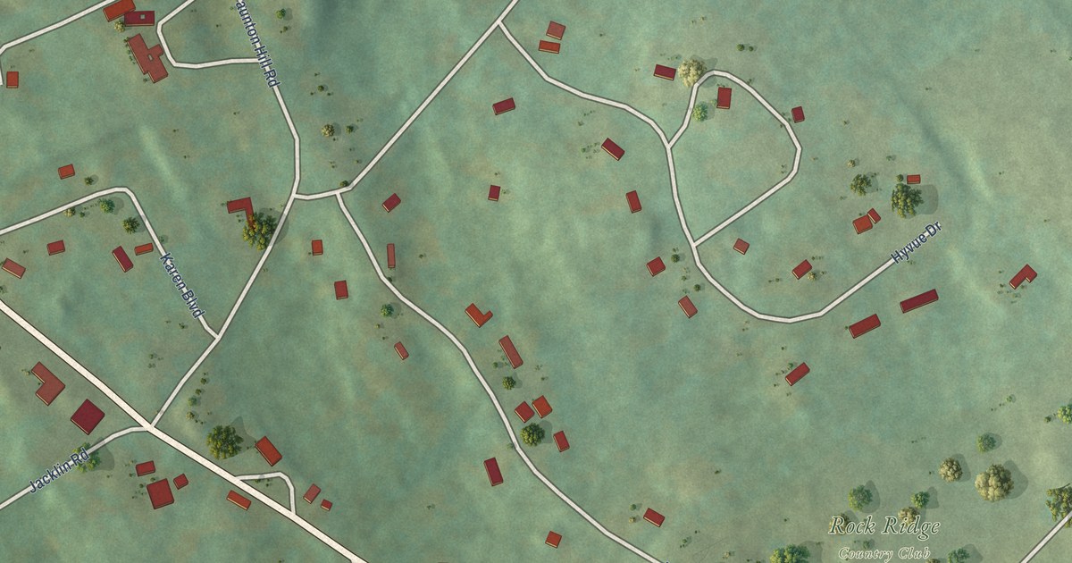
A detailed map of Dodgingtown, Connecticut, showing every building in its true location, the roads by name, and shaded topographical relief.
Read More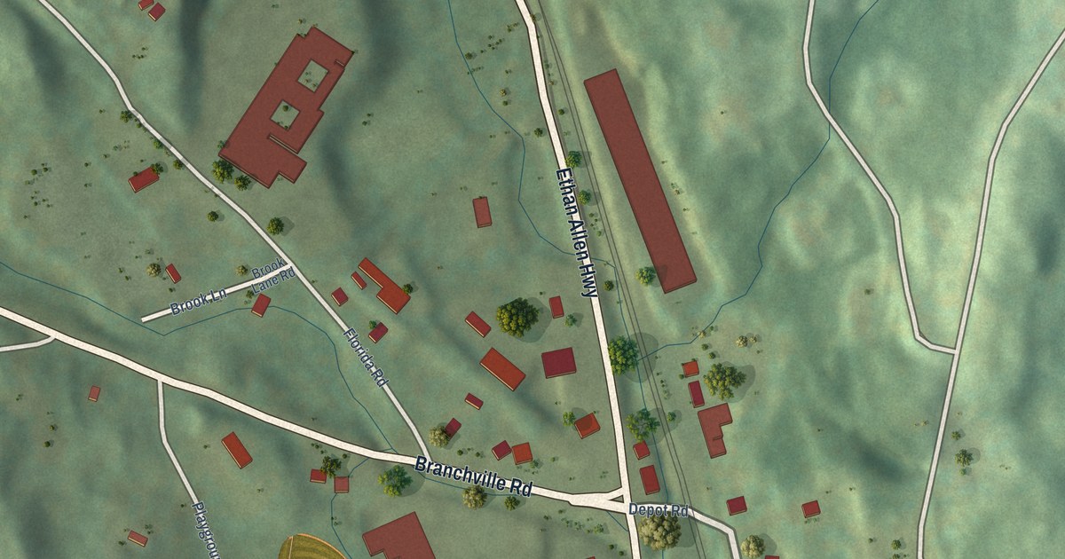
A detailed map of Branchville, Connecticut, showing every building in its true location, the roads by name, and shaded topographical relief.
Read More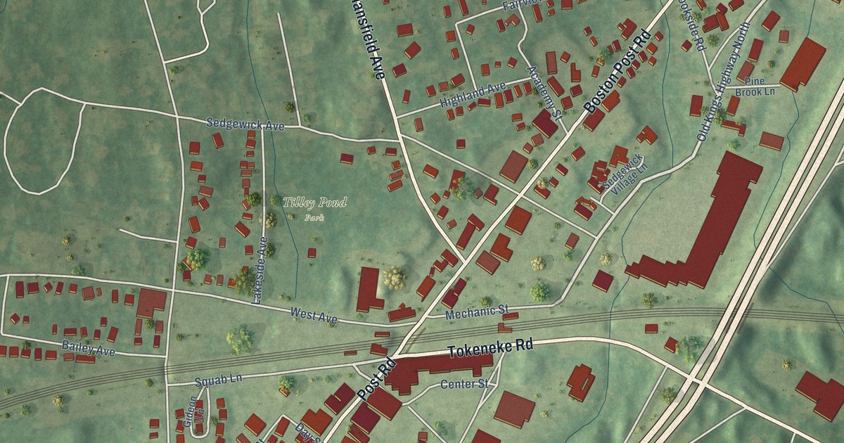
A detailed map of Darien Downtown, Connecticut, showing every building in its true location, the roads by name, and shaded topographical relief.
Read More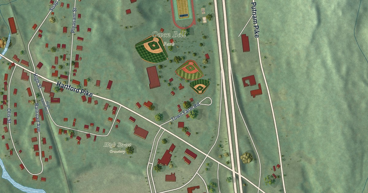
A detailed map of Dayville, Connecticut, showing every building in its true location, the roads by name, and shaded topographical relief.
Read More















