Detailed Map of Victor, California
A detailed map of Victor, California, showing every building in its true location, the roads by name, and shaded topographical relief.
Read More
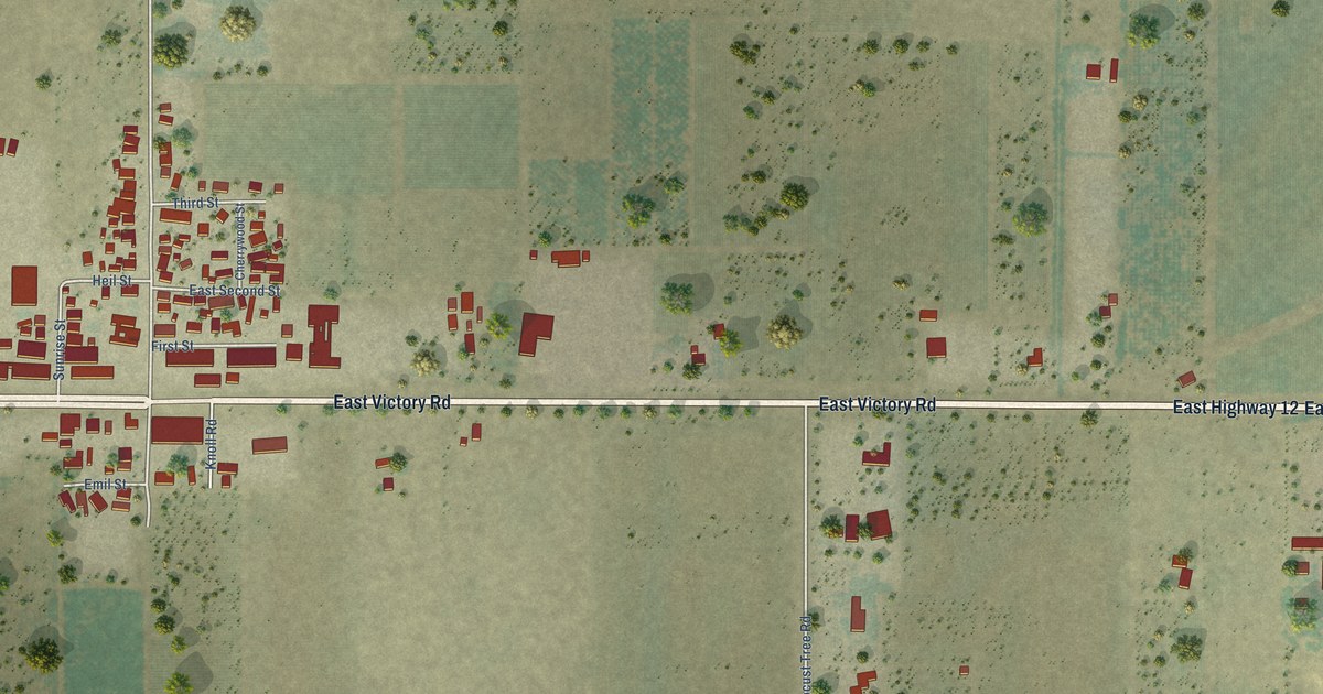
A detailed map of Victor, California, showing every building in its true location, the roads by name, and shaded topographical relief.
Read More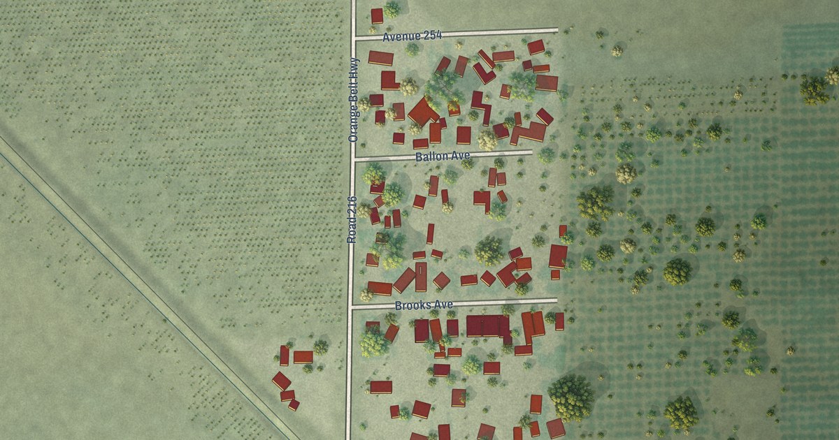
A detailed map of Tonyville, California, showing every building in its true location, the roads by name, and shaded topographical relief.
Read More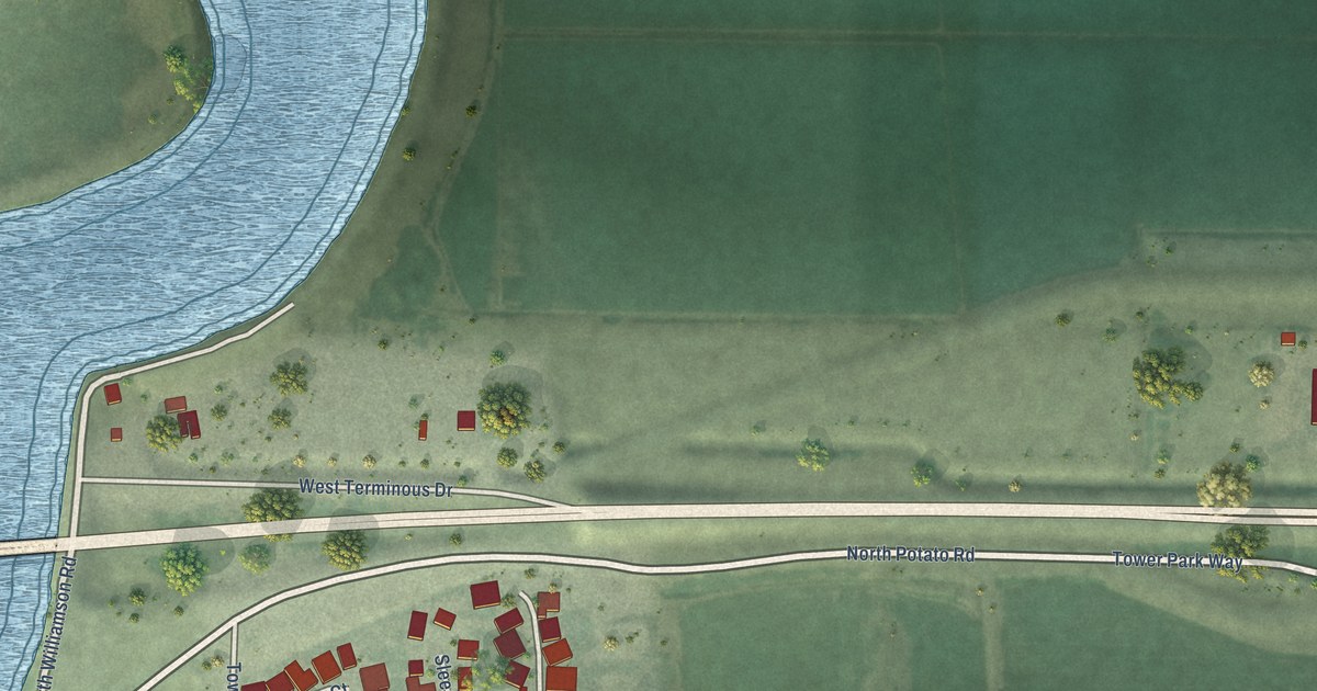
A detailed map of Terminous, California, showing every building in its true location, the roads by name, and shaded topographical relief.
Read More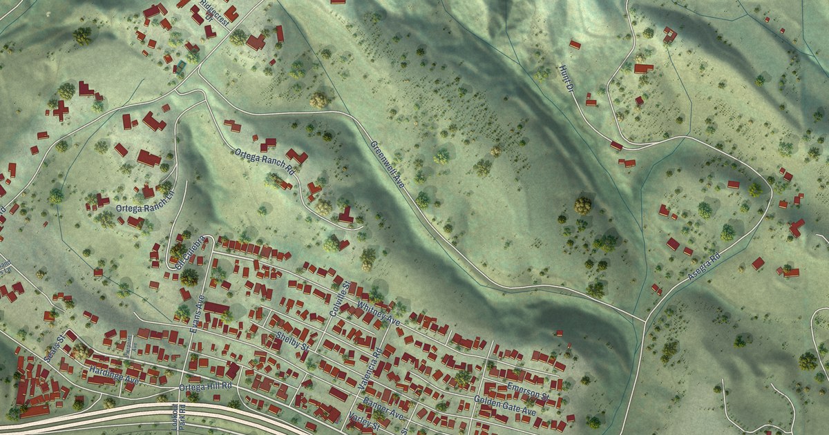
A detailed map of Summerland, California, showing every building in its true location, the roads by name, and shaded topographical relief.
Read More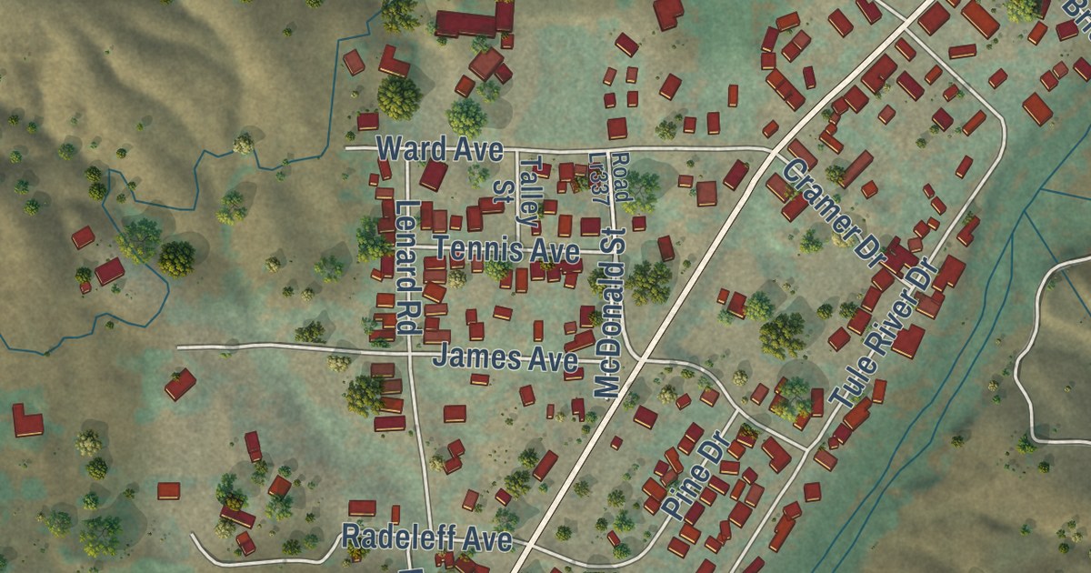
A detailed map of Springville, California, showing every building in its true location, the roads by name, and shaded topographical relief.
Read More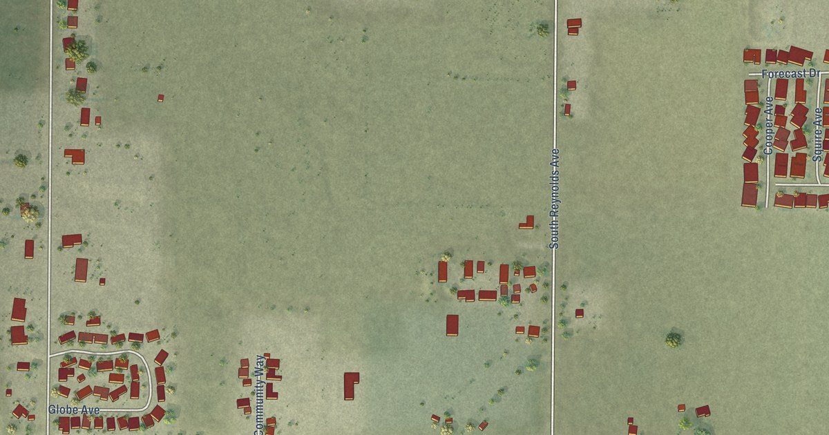
A detailed map of South Dos Palos, California, showing every building in its true location, the roads by name, and shaded topographical relief.
Read More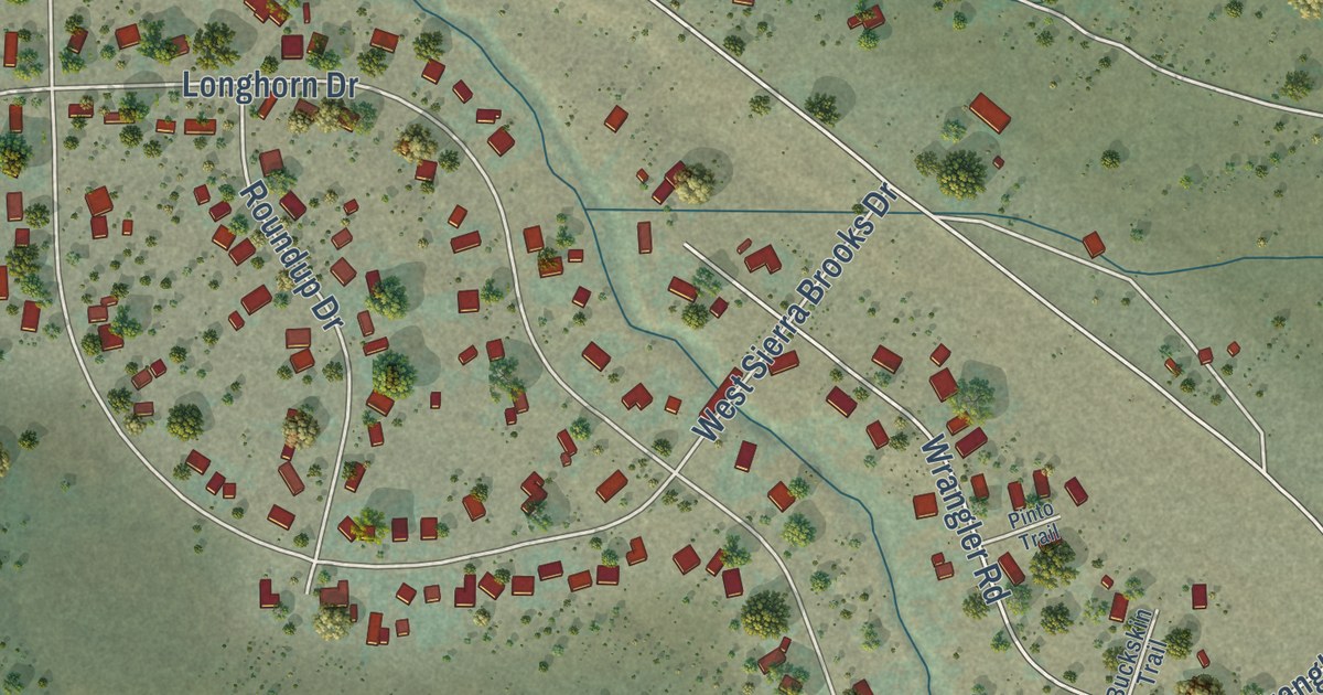
A detailed map of Sierra Brooks, California, showing every building in its true location, the roads by name, and shaded topographical relief.
Read More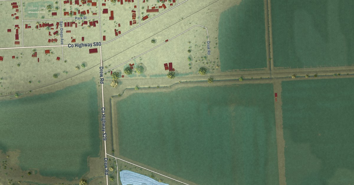
A detailed map of Seeley, California, showing every building in its true location, the roads by name, and shaded topographical relief.
Read More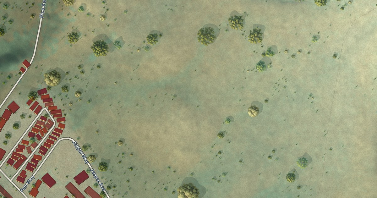
A detailed map of San Simeon, California, showing every building in its true location, the roads by name, and shaded topographical relief.
Read More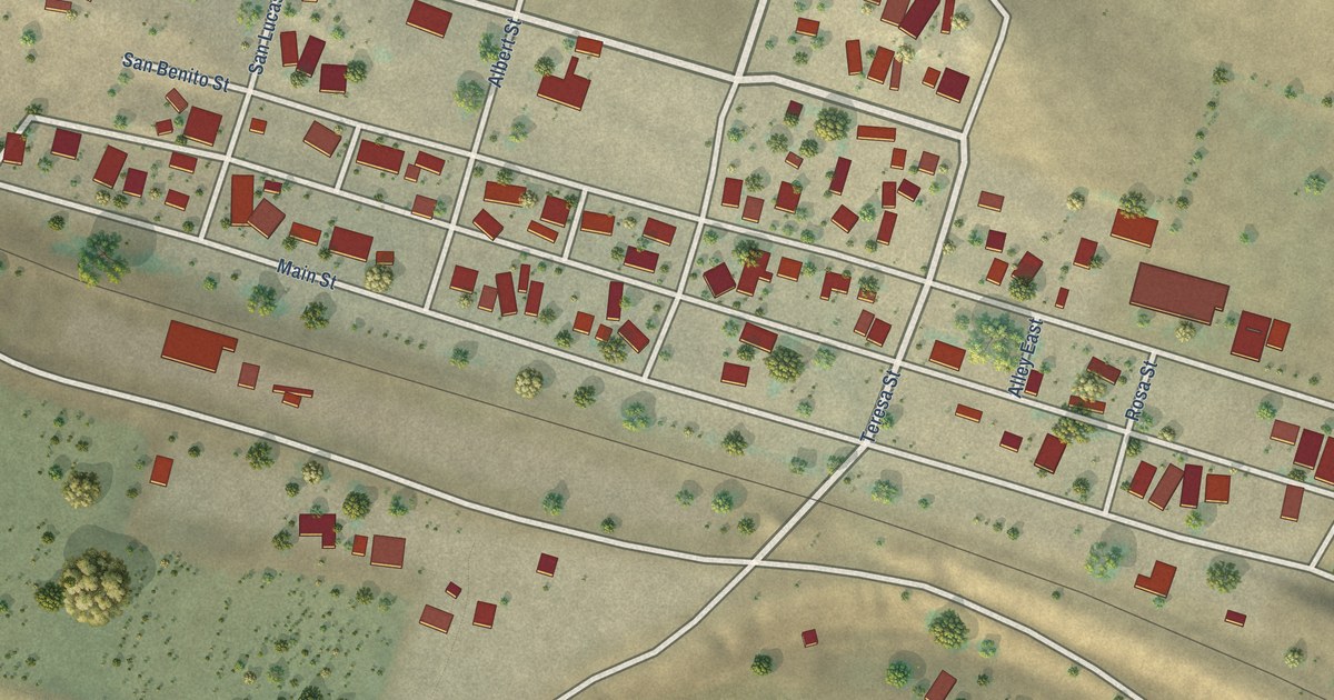
A detailed map of San Lucas, California, showing every building in its true location, the roads by name, and shaded topographical relief.
Read More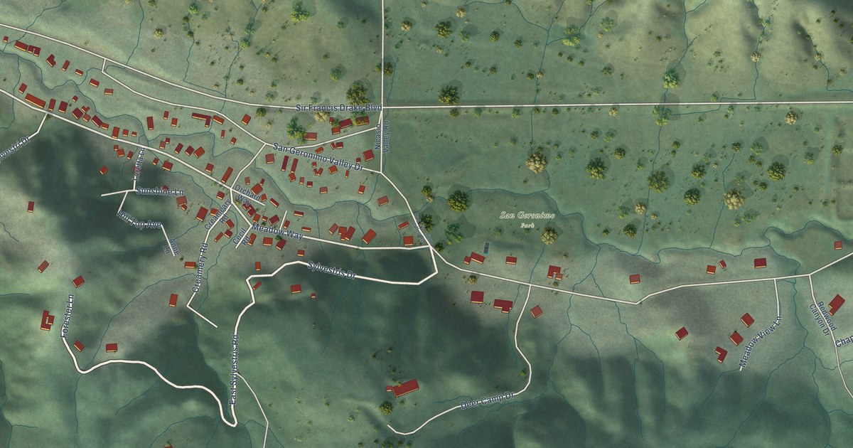
A detailed map of San Geronimo, California, showing every building in its true location, the roads by name, and shaded topographical relief.
Read More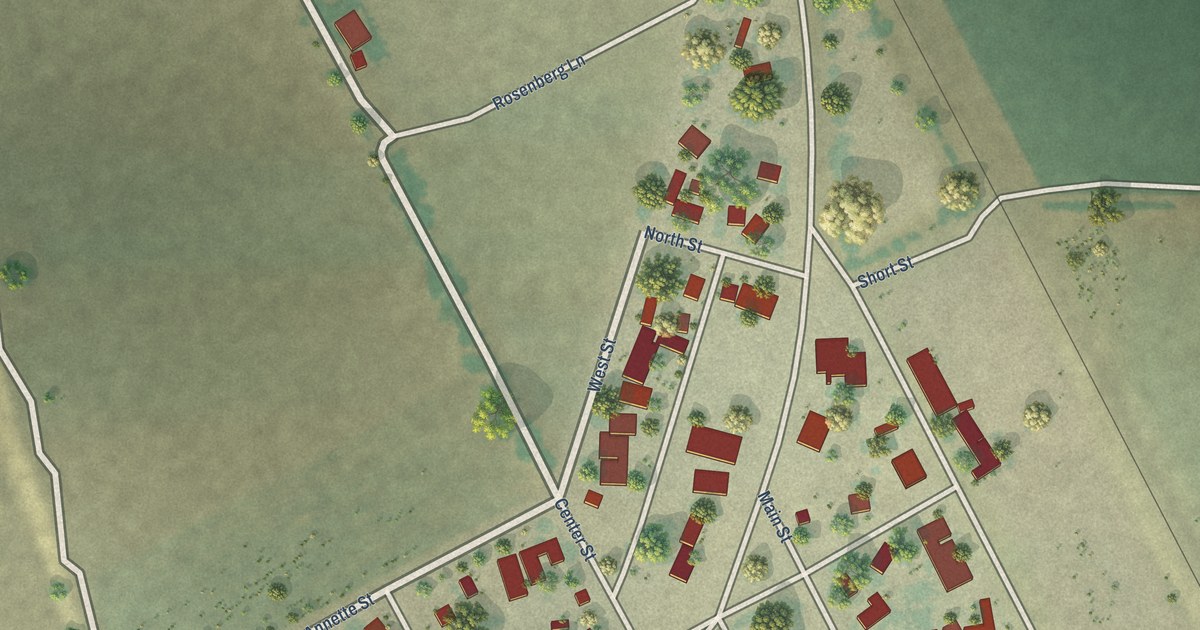
A detailed map of San Ardo, California, showing every building in its true location, the roads by name, and shaded topographical relief.
Read More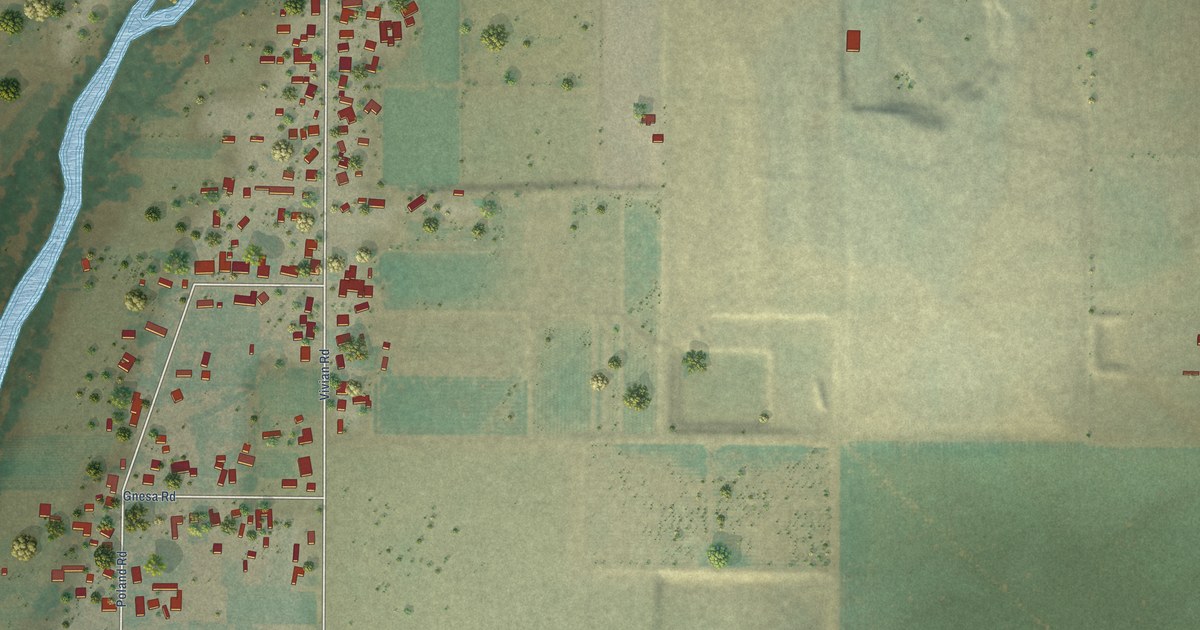
A detailed map of Riverdale Park, California, showing every building in its true location, the roads by name, and shaded topographical relief.
Read More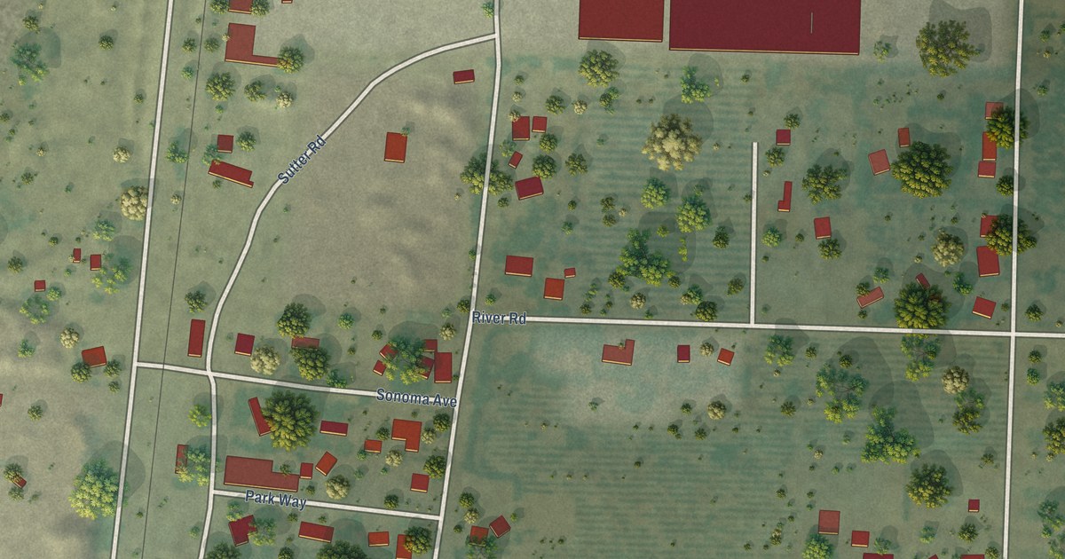
A detailed map of Richfield, California, showing every building in its true location, the roads by name, and shaded topographical relief.
Read More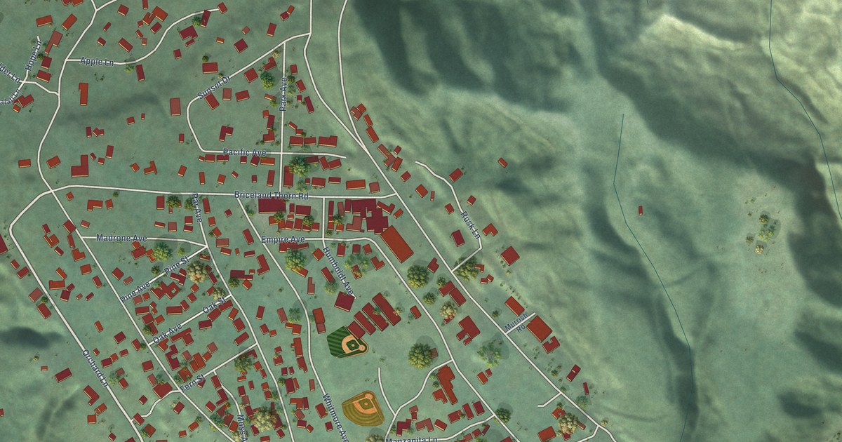
A detailed map of Redway, California, showing every building in its true location, the roads by name, and shaded topographical relief.
Read More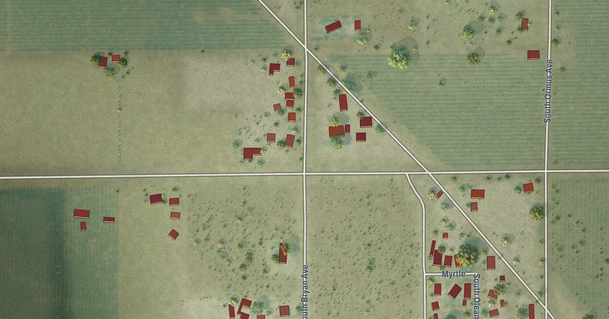
A detailed map of Raisin City, California, showing every building in its true location, the roads by name, and shaded topographical relief.
Read More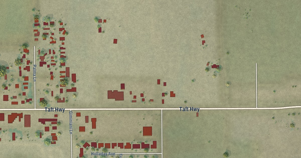
A detailed map of Pumpkin Center, California, showing every building in its true location, the roads by name, and shaded topographical relief.
Read More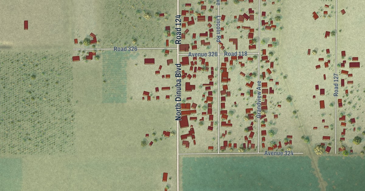
A detailed map of Patterson Tract, California, showing every building in its true location, the roads by name, and shaded topographical relief.
Read More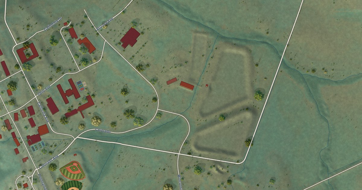
A detailed map of Petaluma Center, California, showing every building in its true location, the roads by name, and shaded topographical relief.
Read More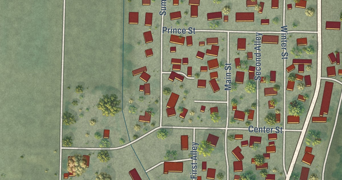
A detailed map of Princeton, California, showing every building in its true location, the roads by name, and shaded topographical relief.
Read More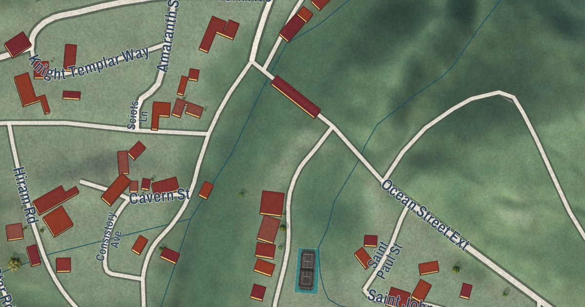
A detailed map of Paradise Park, California, showing every building in its true location, the roads by name, and shaded topographical relief.
Read More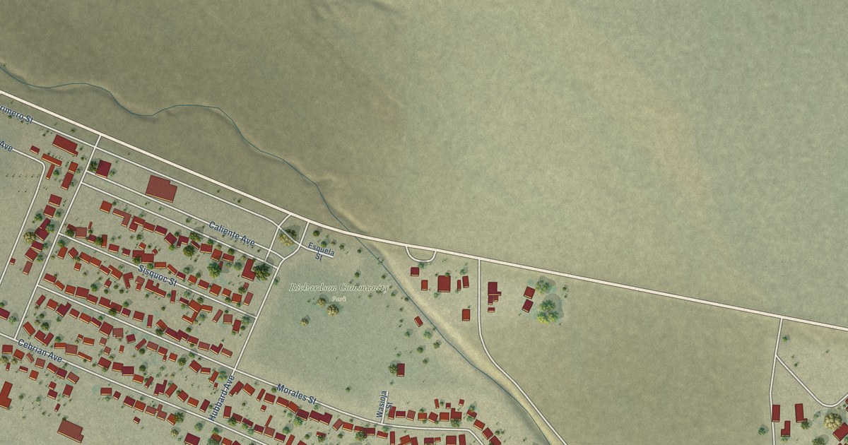
A detailed map of New Cuyama, California, showing every building in its true location, the roads by name, and shaded topographical relief.
Read More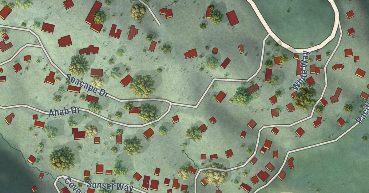
A detailed map of Muir Beach, California, showing every building in its true location, the roads by name, and shaded topographical relief.
Read More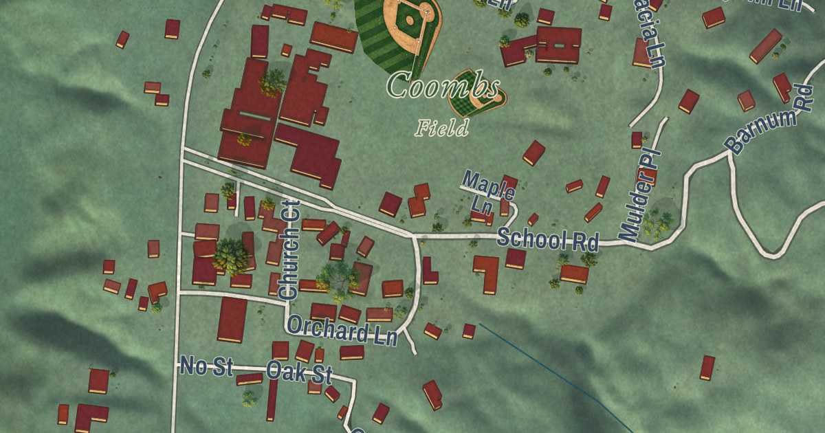
A detailed map of Miranda, California, showing every building in its true location, the roads by name, and shaded topographical relief.
Read More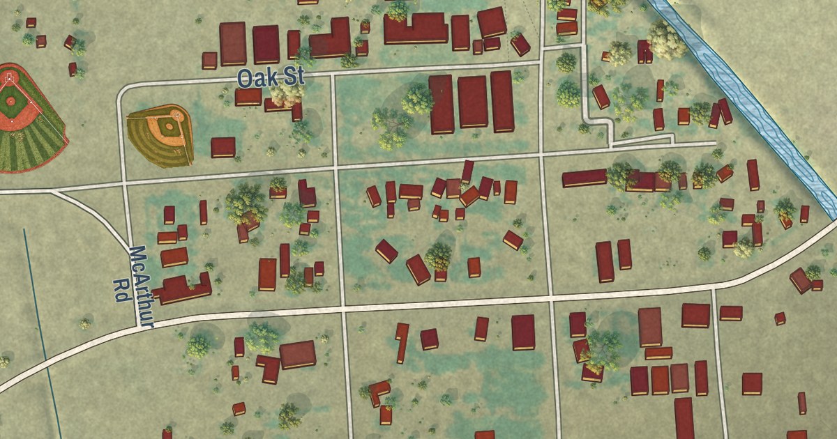
A detailed map of McArthur, California, showing every building in its true location, the roads by name, and shaded topographical relief.
Read More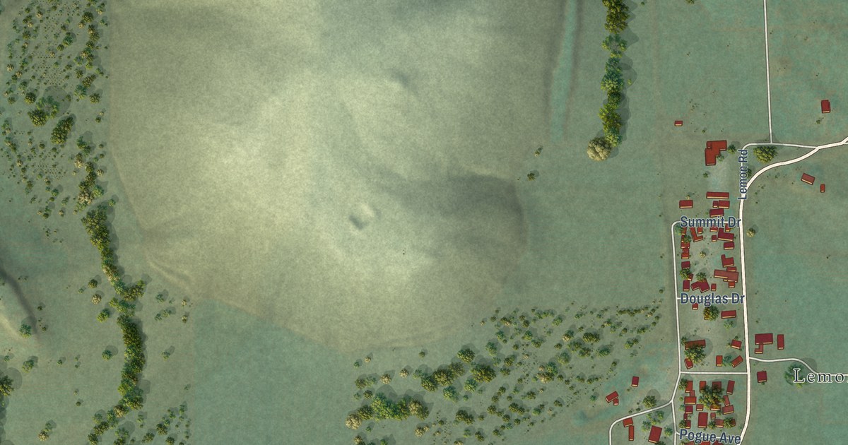
A detailed map of Lemon Cove, California, showing every building in its true location, the roads by name, and shaded topographical relief.
Read More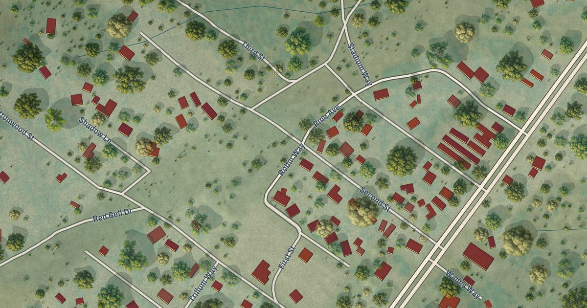
A detailed map of Johnson Park, California, showing every building in its true location, the roads by name, and shaded topographical relief.
Read More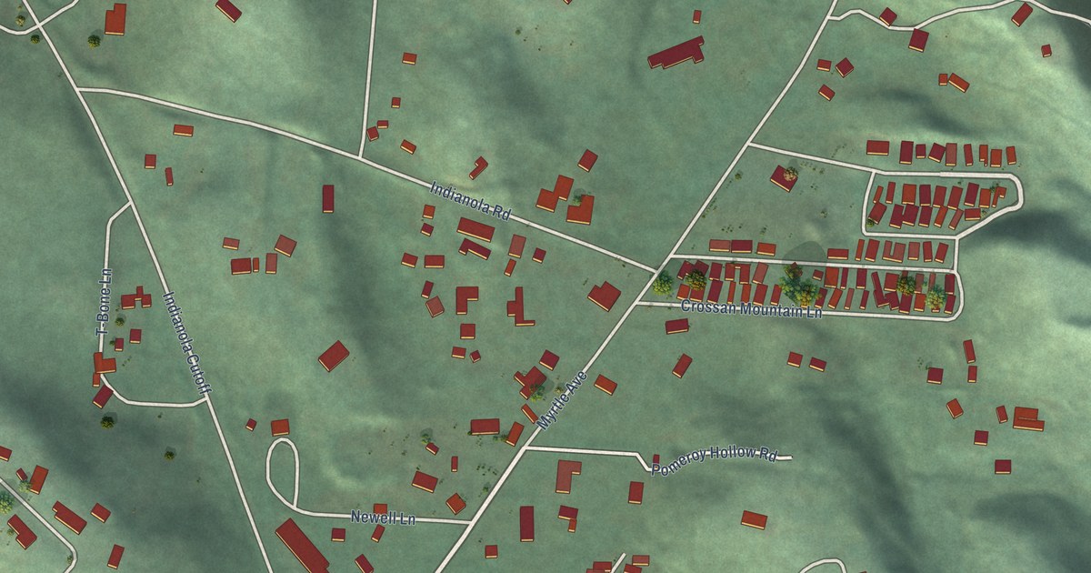
A detailed map of Indianola, California, showing every building in its true location, the roads by name, and shaded topographical relief.
Read More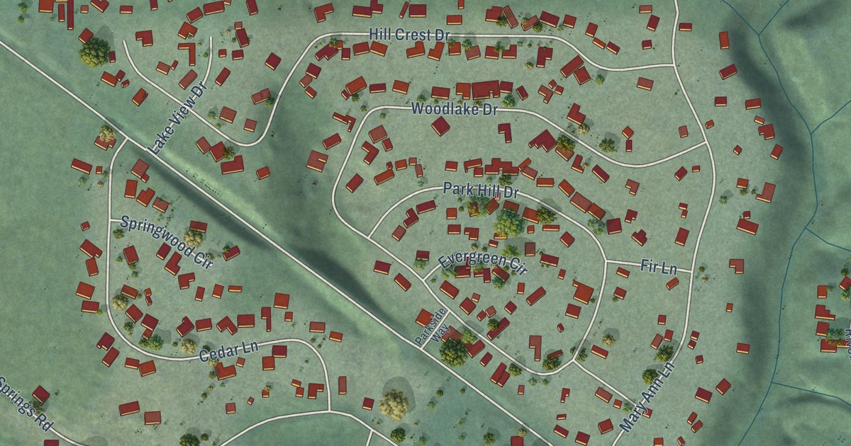
A detailed map of Hamilton Branch, California, showing every building in its true location, the roads by name, and shaded topographical relief.
Read More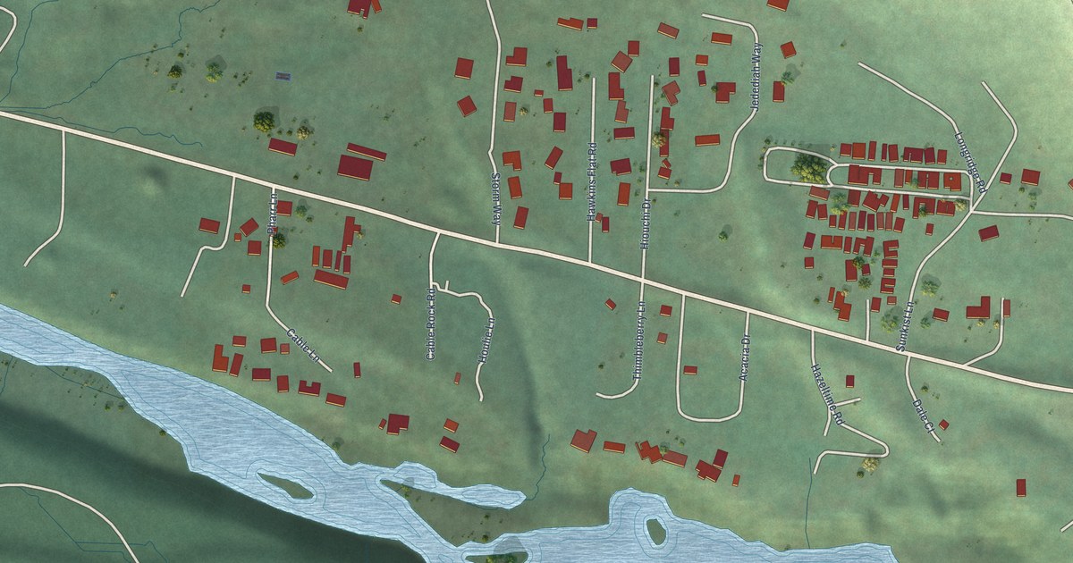
A detailed map of Hiouchi, California, showing every building in its true location, the roads by name, and shaded topographical relief.
Read More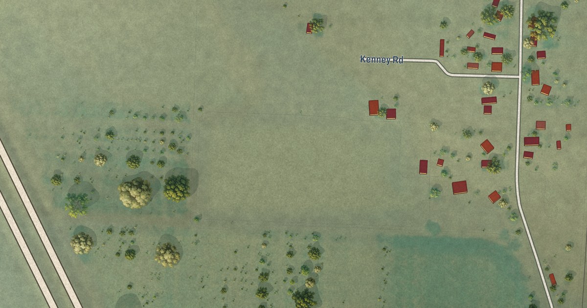
A detailed map of Grenada, California, showing every building in its true location, the roads by name, and shaded topographical relief.
Read More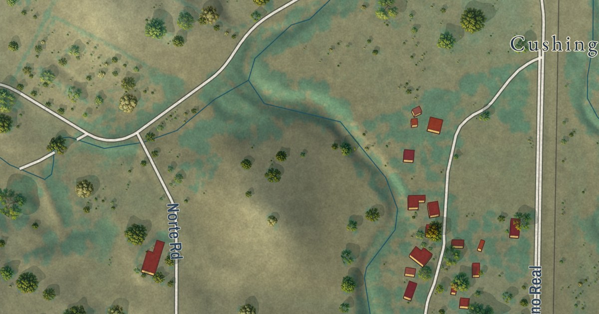
A detailed map of Garden Farms, California, showing every building in its true location, the roads by name, and shaded topographical relief.
Read More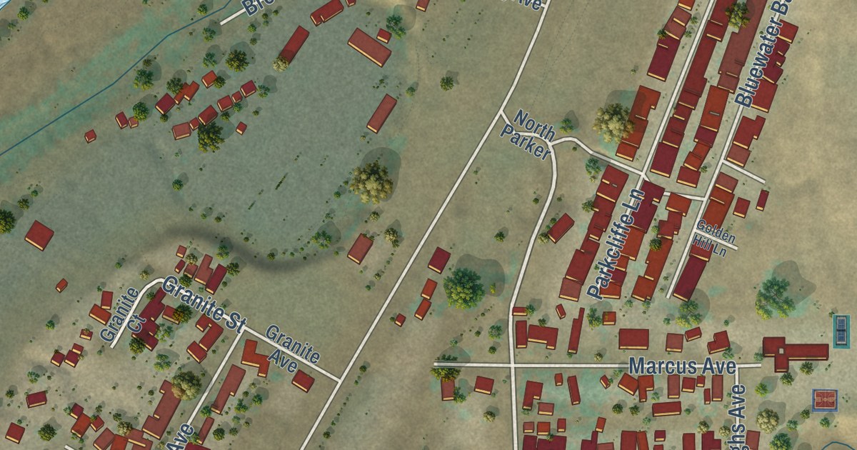
A detailed map of Friant, California, showing every building in its true location, the roads by name, and shaded topographical relief.
Read More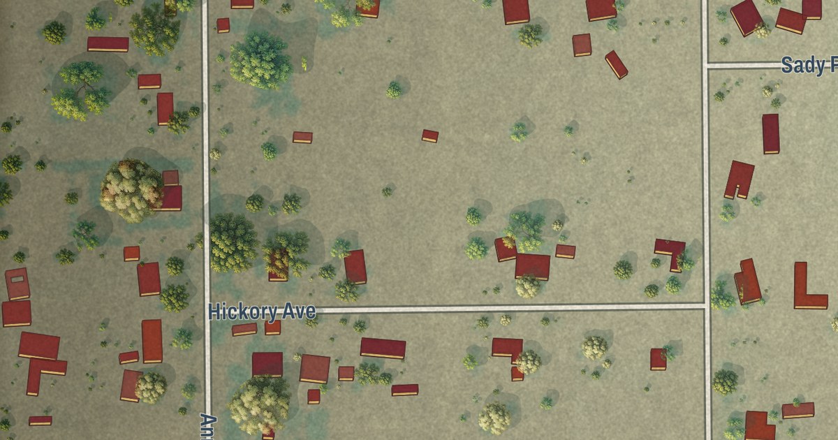
A detailed map of El Adobe, California, showing every building in its true location, the roads by name, and shaded topographical relief.
Read More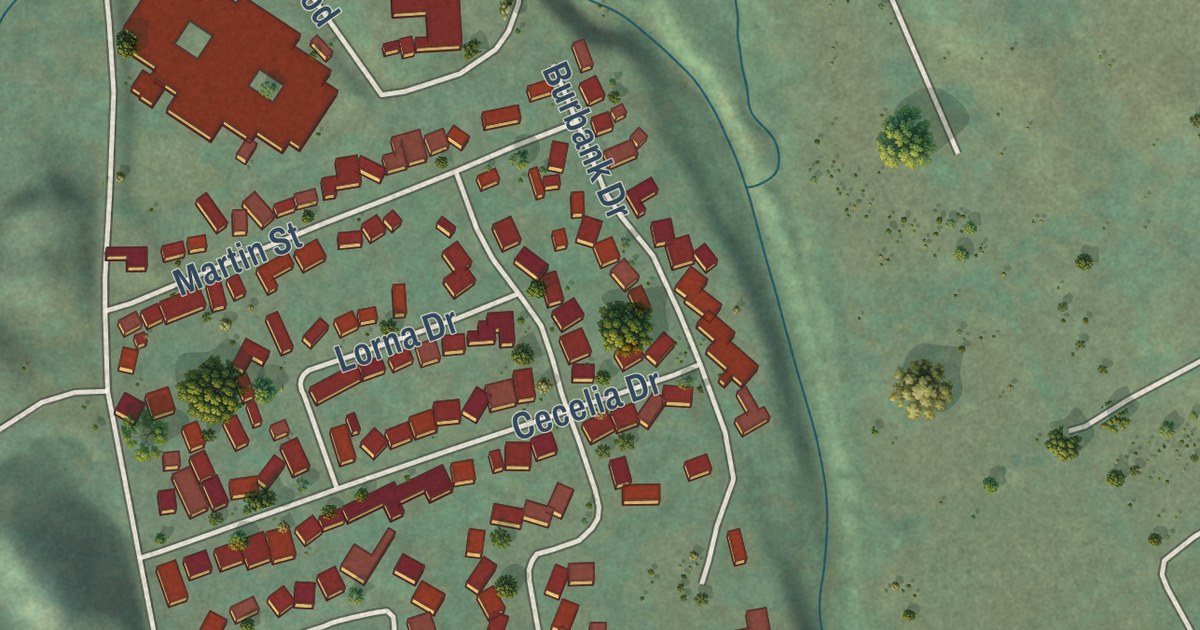
A detailed map of Eldridge, California, showing every building in its true location, the roads by name, and shaded topographical relief.
Read More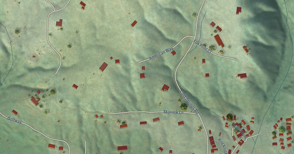
A detailed map of Cold Springs, California, showing every building in its true location, the roads by name, and shaded topographical relief.
Read More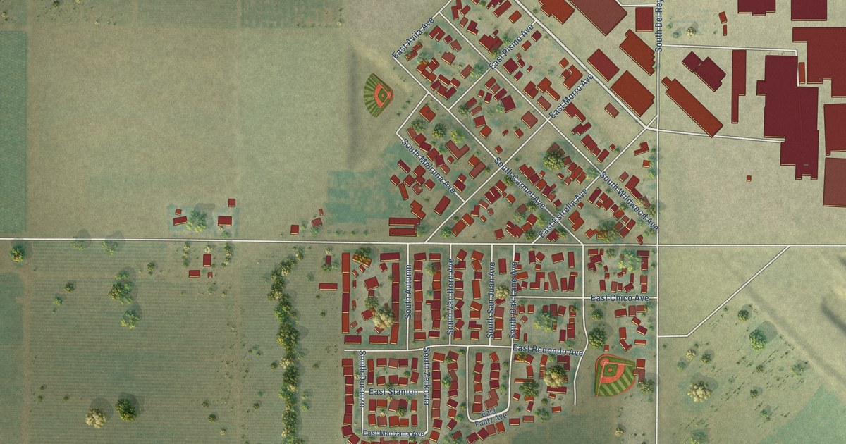
A detailed map of Del Rey, California, showing every building in its true location, the roads by name, and shaded topographical relief.
Read More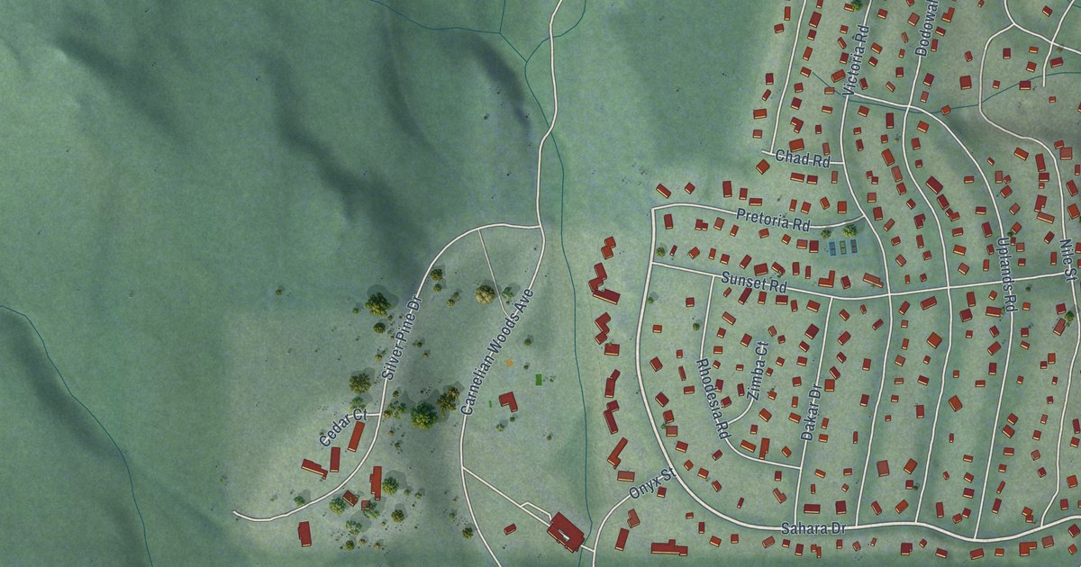
A detailed map of Carnelian Bay, California, showing every building in its true location, the roads by name, and shaded topographical relief.
Read More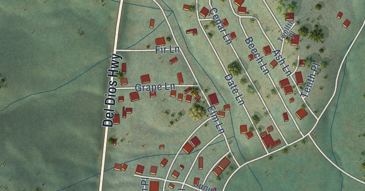
A detailed map of Del Dios, California, showing every building in its true location, the roads by name, and shaded topographical relief.
Read More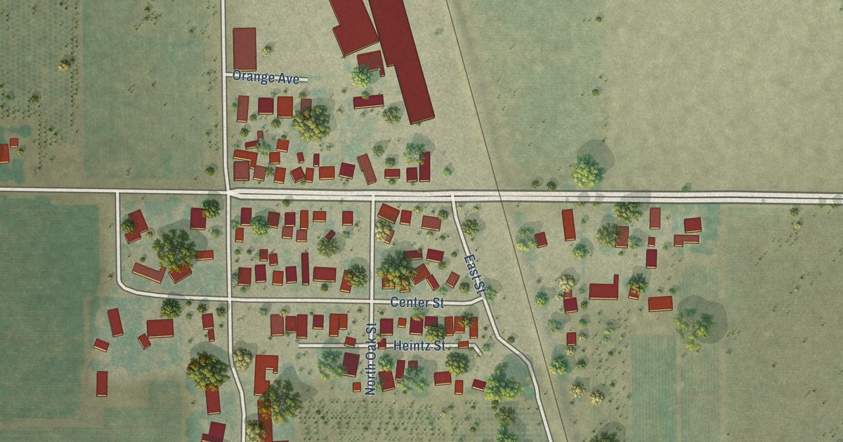
A detailed map of Acampo, California, showing every building in its true location, the roads by name, and shaded topographical relief.
Read More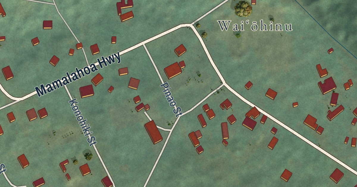
A detailed map of Waiohinu, Hawaii, showing every building in its true location, the roads by name, and shaded topographical relief.
Read More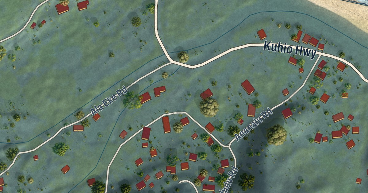
A detailed map of Wainiha, Hawaii, showing every building in its true location, the roads by name, and shaded topographical relief.
Read More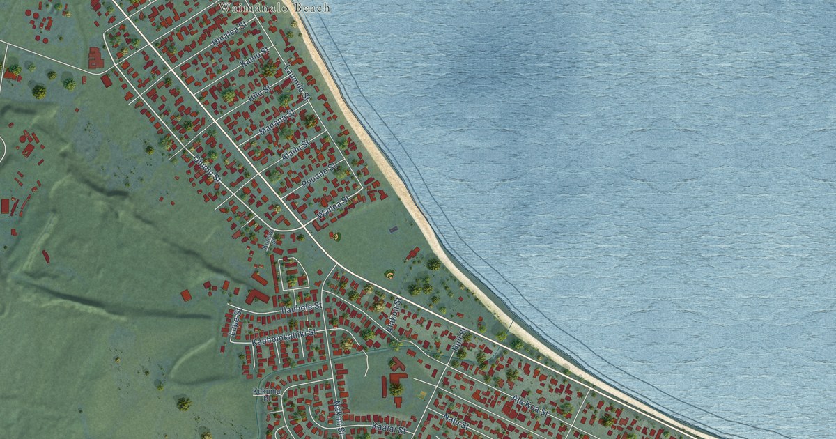
A detailed map of Waimanalo Beach, Hawaii, showing every building in its true location, the roads by name, and shaded topographical relief.
Read More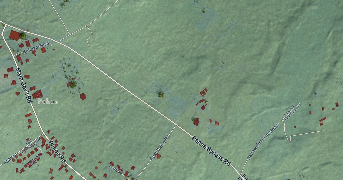
A detailed map of Pahoa, Hawaii, showing every building in its true location, the roads by name, and shaded topographical relief.
Read More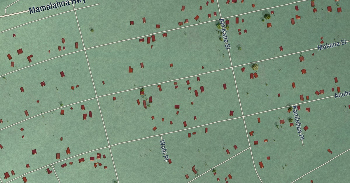
A detailed map of Royal Hawaiian Estates, Hawaii, showing every building in its true location, the roads by name, and shaded topographical relief.
Read More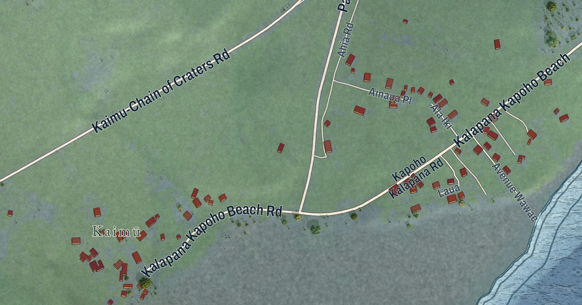
A detailed map of Kalapana, Hawaii, showing every building in its true location, the roads by name, and shaded topographical relief.
Read More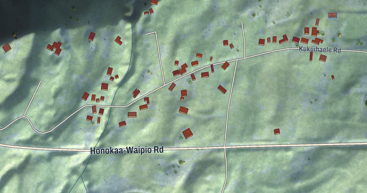
A detailed map of Kukuihaele, Hawaii, showing every building in its true location, the roads by name, and shaded topographical relief.
Read More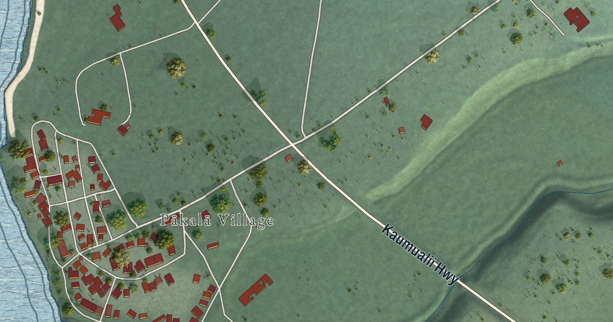
A detailed map of Pakala Village, Hawaii, showing every building in its true location, the roads by name, and shaded topographical relief.
Read More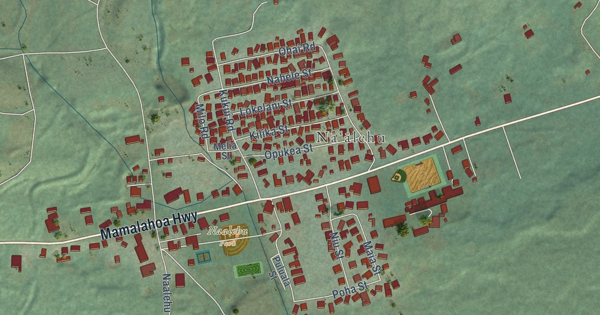
A detailed map of Naalehu, Hawaii, showing every building in its true location, the roads by name, and shaded topographical relief.
Read More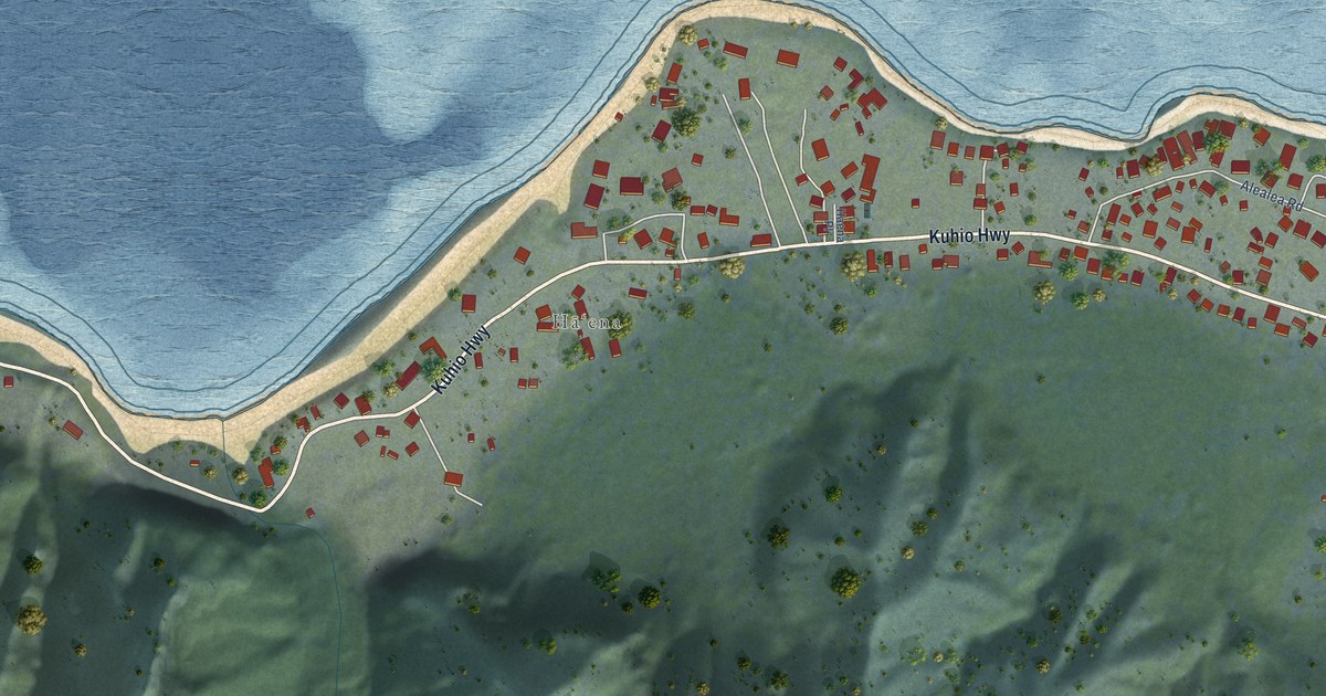
A detailed map of Haena, Hawaii, showing every building in its true location, the roads by name, and shaded topographical relief.
Read More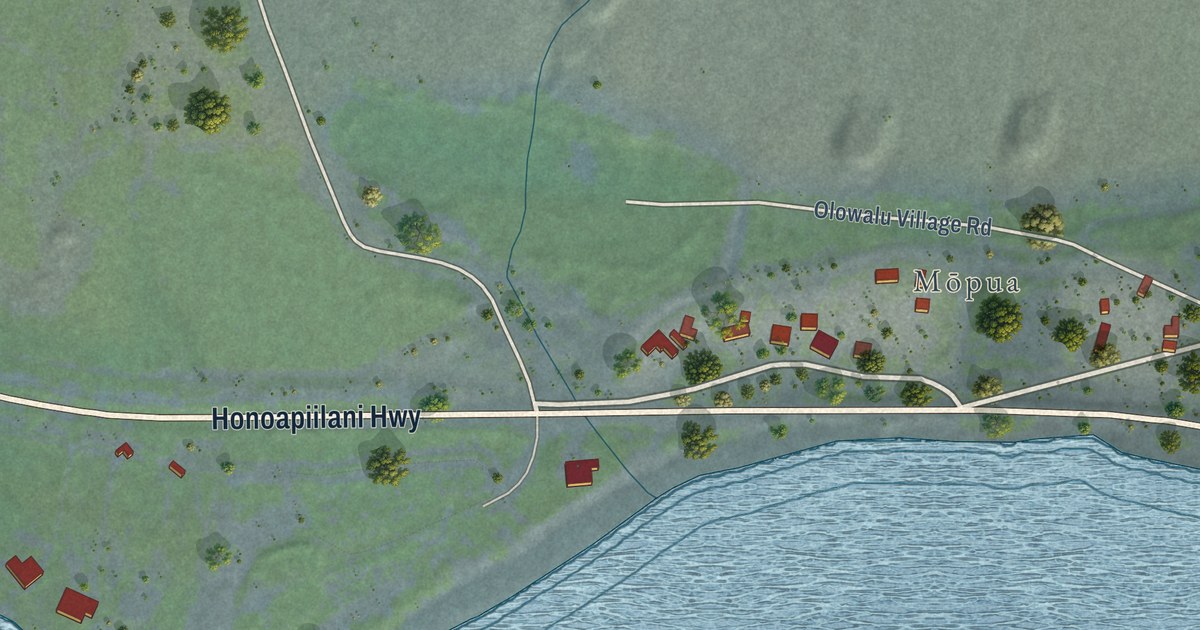
A detailed map of Olowalu, Hawaii, showing every building in its true location, the roads by name, and shaded topographical relief.
Read More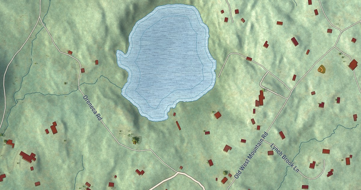
A detailed map of West Mountain, Connecticut, showing every building in its true location, the roads by name, and shaded topographical relief.
Read More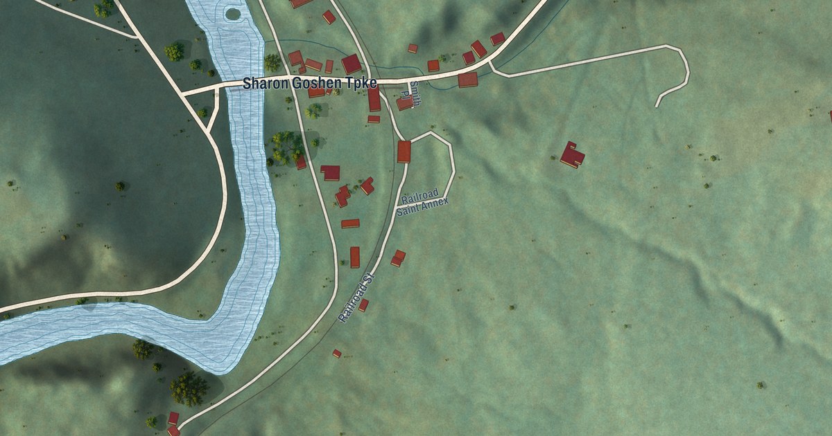
A detailed map of West Cornwall, Connecticut, showing every building in its true location, the roads by name, and shaded topographical relief.
Read More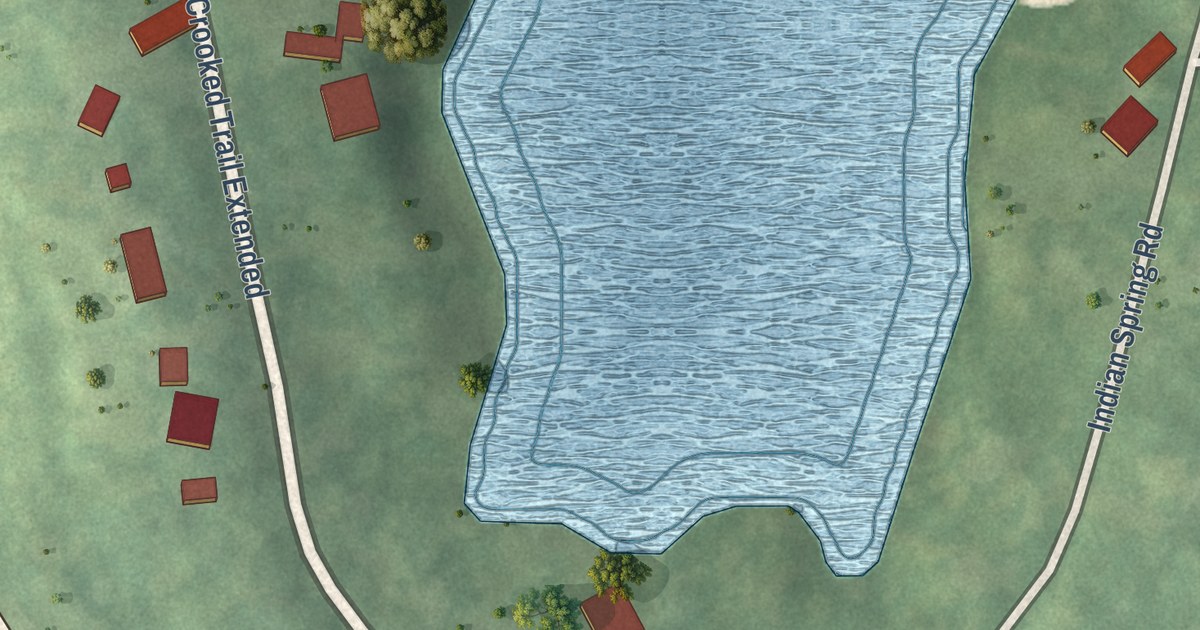
A detailed map of Witches Woods, Connecticut, showing every building in its true location, the roads by name, and shaded topographical relief.
Read More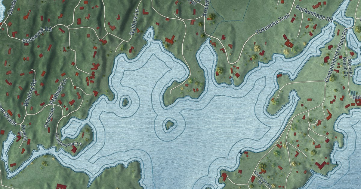
A detailed map of Tokeneke, Connecticut, showing every building in its true location, the roads by name, and shaded topographical relief.
Read More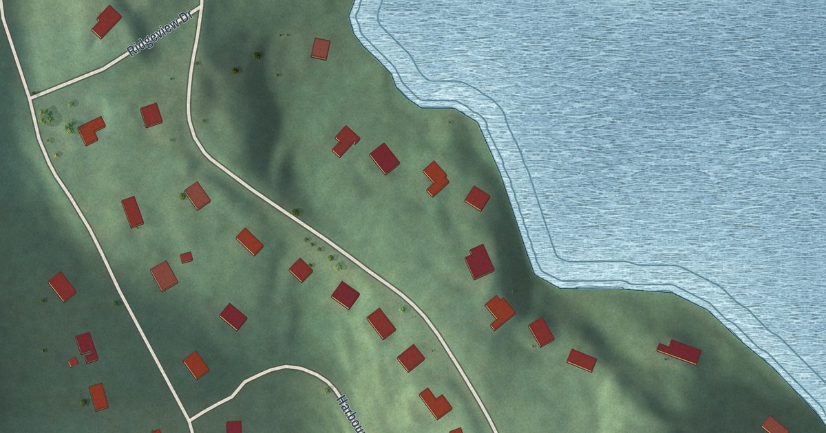
A detailed map of Sail Harbor, Connecticut, showing every building in its true location, the roads by name, and shaded topographical relief.
Read More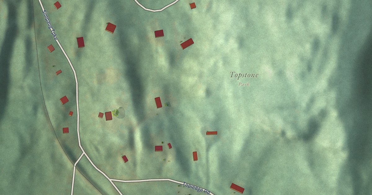
A detailed map of Topstone, Connecticut, showing every building in its true location, the roads by name, and shaded topographical relief.
Read More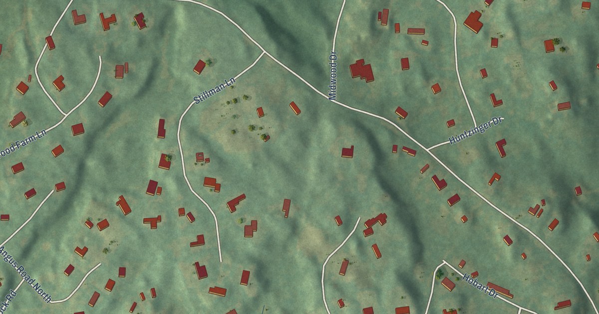
A detailed map of Rock Ridge, Connecticut, showing every building in its true location, the roads by name, and shaded topographical relief.
Read More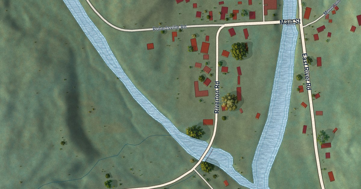
A detailed map of Riverton, Connecticut, showing every building in its true location, the roads by name, and shaded topographical relief.
Read More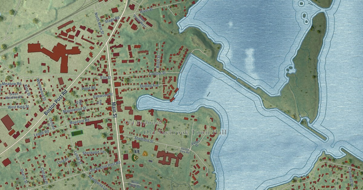
A detailed map of Old Saybrook Center, Connecticut, showing every building in its true location, the roads by name, and shaded topographical relief.
Read More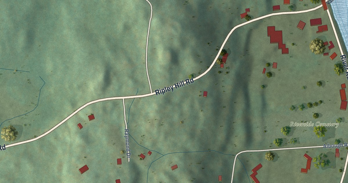
A detailed map of Pleasant Valley, Connecticut, showing every building in its true location, the roads by name, and shaded topographical relief.
Read More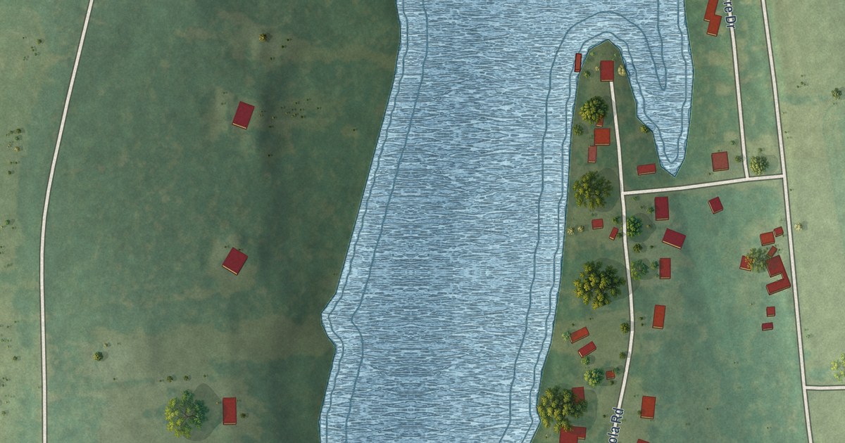
A detailed map of Quasset Lake, Connecticut, showing every building in its true location, the roads by name, and shaded topographical relief.
Read More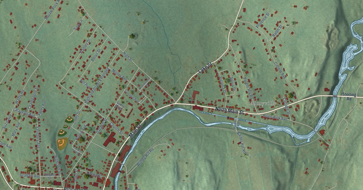
A detailed map of Moosup, Connecticut, showing every building in its true location, the roads by name, and shaded topographical relief.
Read More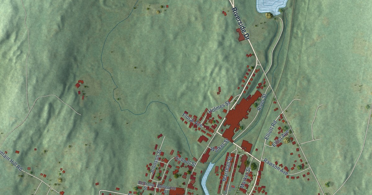
A detailed map of North Grosvenor Dale, Connecticut, showing every building in its true location, the roads by name, and shaded topographical relief.
Read More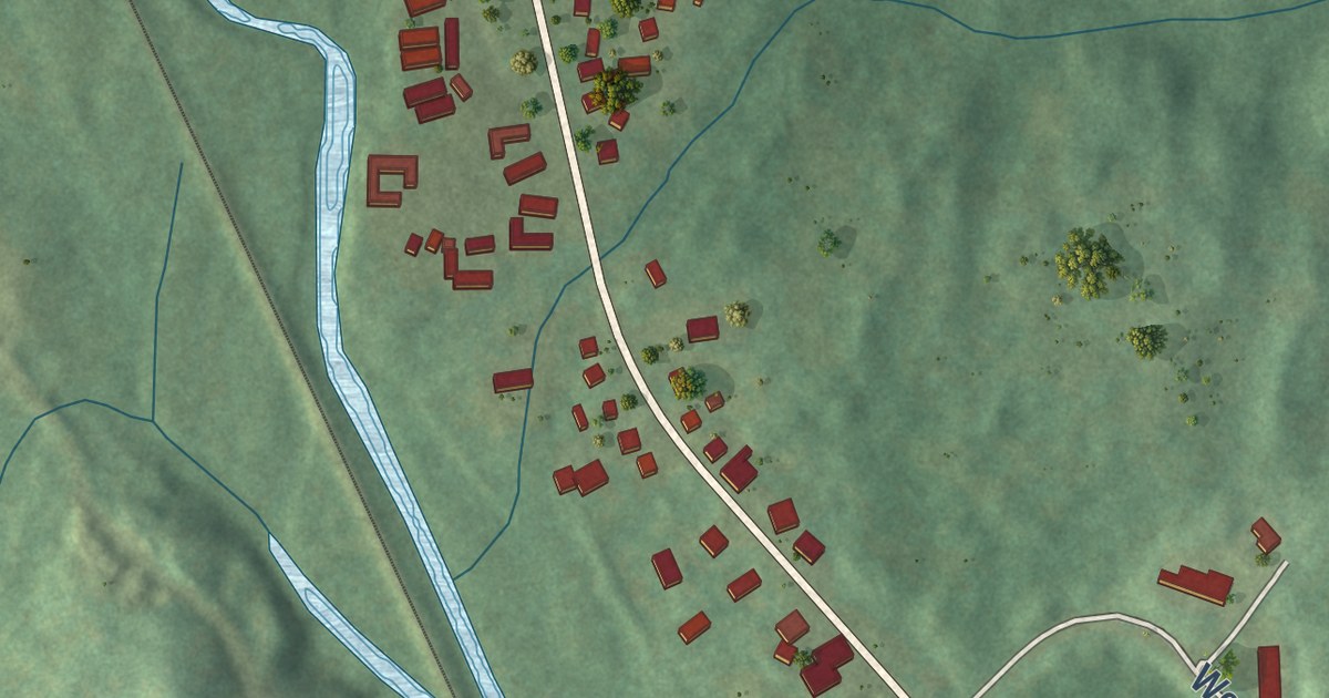
A detailed map of Mechanicsville, Connecticut, showing every building in its true location, the roads by name, and shaded topographical relief.
Read More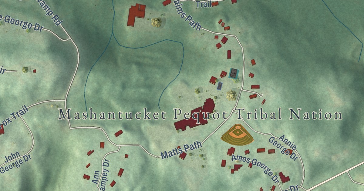
A detailed map of Mashantucket, Connecticut, showing every building in its true location, the roads by name, and shaded topographical relief.
Read More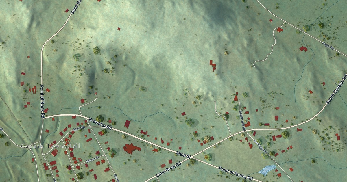
A detailed map of Falls Village, Connecticut, showing every building in its true location, the roads by name, and shaded topographical relief.
Read More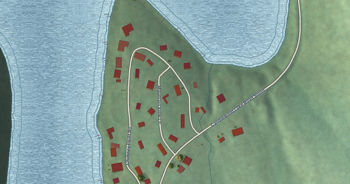
A detailed map of Chimney Point, Connecticut, showing every building in its true location, the roads by name, and shaded topographical relief.
Read More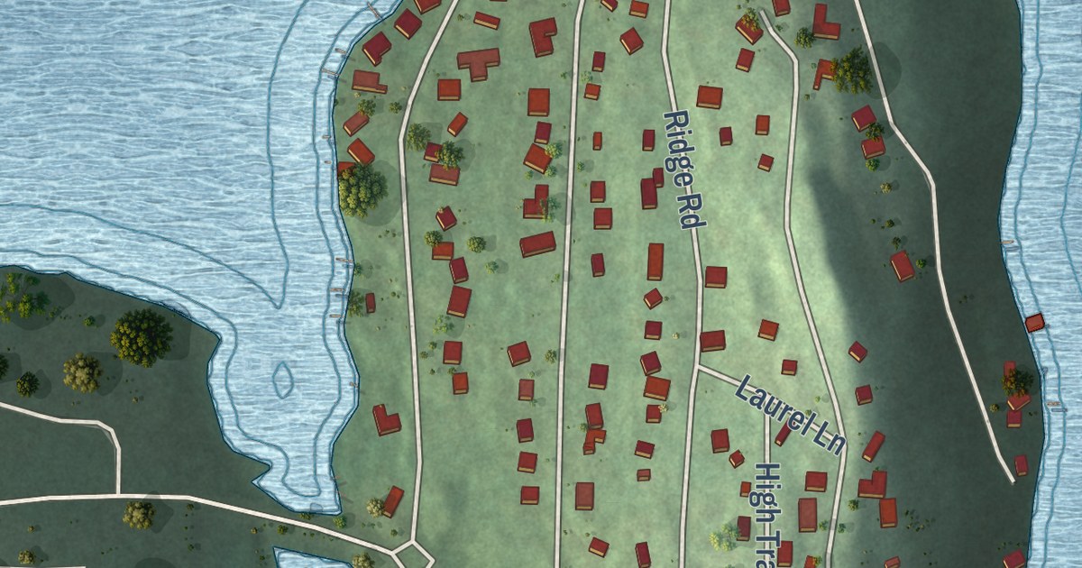
A detailed map of Candlewood Isle, Connecticut, showing every building in its true location, the roads by name, and shaded topographical relief.
Read More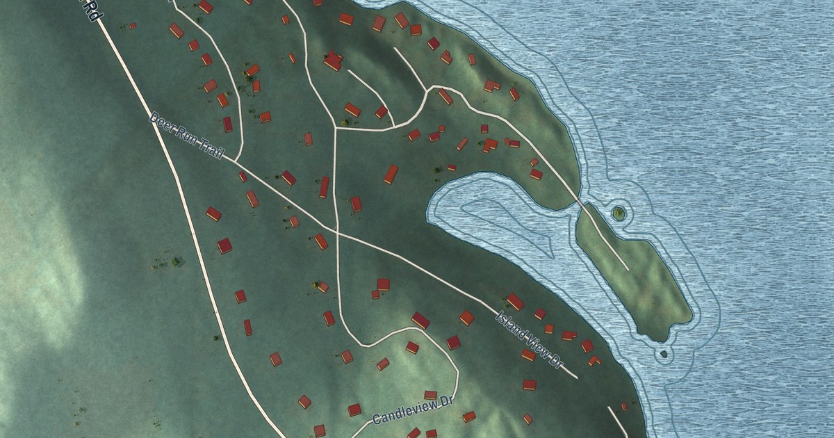
A detailed map of Lakeside Woods, Connecticut, showing every building in its true location, the roads by name, and shaded topographical relief.
Read More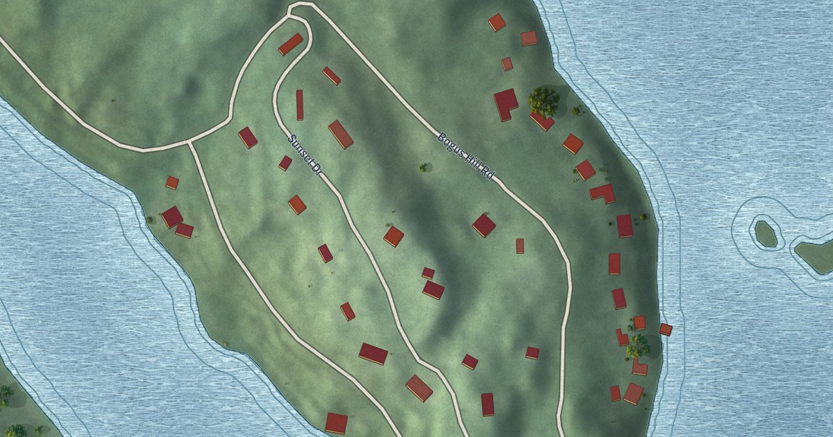
A detailed map of Bogus Hill, Connecticut, showing every building in its true location, the roads by name, and shaded topographical relief.
Read More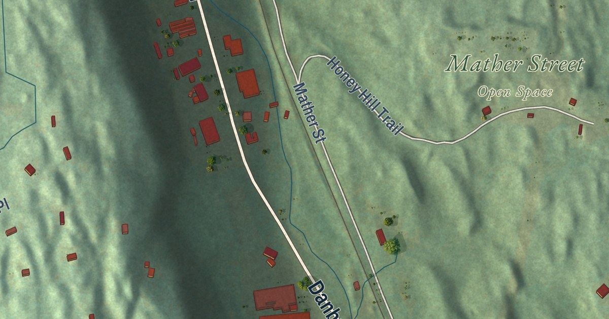
A detailed map of Georgetown, Connecticut, showing every building in its true location, the roads by name, and shaded topographical relief.
Read More
A detailed map of Kellogg Point, Connecticut, showing every building in its true location, the roads by name, and shaded topographical relief.
Read More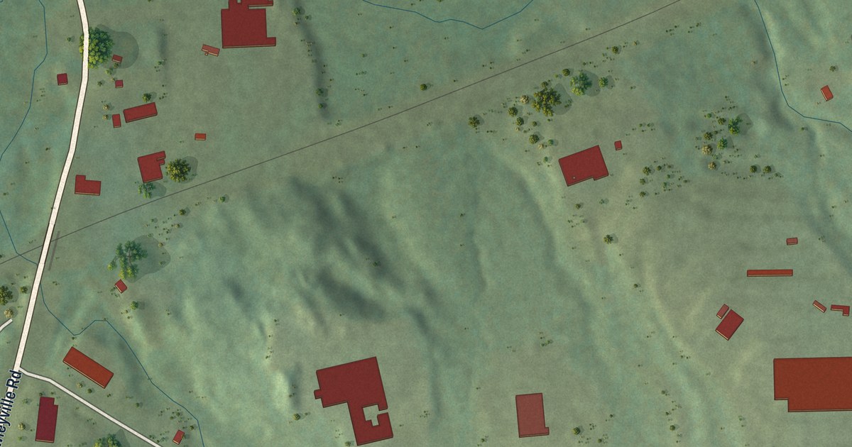
A detailed map of Hawleyville, Connecticut, showing every building in its true location, the roads by name, and shaded topographical relief.
Read More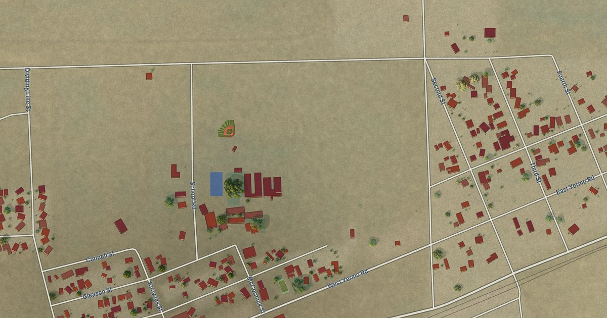
A detailed map of Yermo, California, showing every building in its true location, the roads by name, and shaded topographical relief.
Read More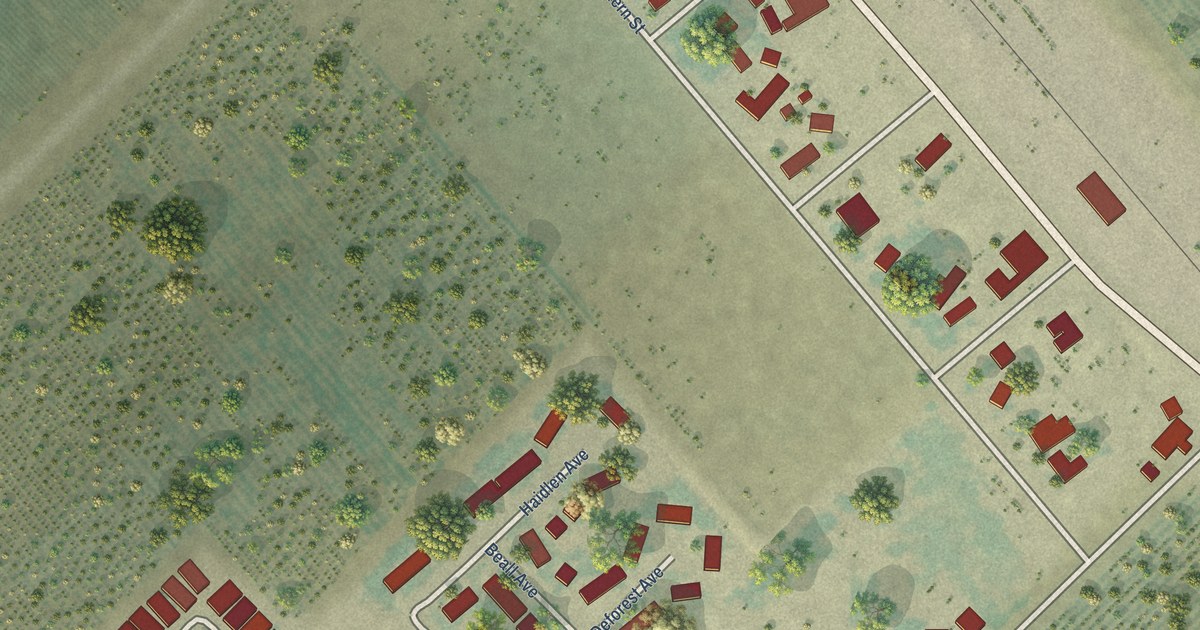
A detailed map of Westley, California, showing every building in its true location, the roads by name, and shaded topographical relief.
Read More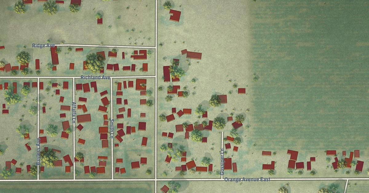
A detailed map of Smith Corner, California, showing every building in its true location, the roads by name, and shaded topographical relief.
Read More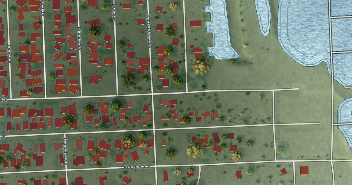
A detailed map of Salton Sea Beach, California, showing every building in its true location, the roads by name, and shaded topographical relief.
Read More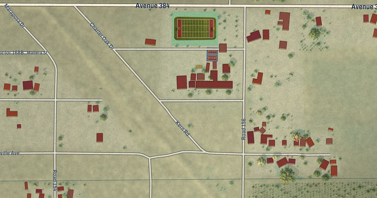
A detailed map of Seville, California, showing every building in its true location, the roads by name, and shaded topographical relief.
Read More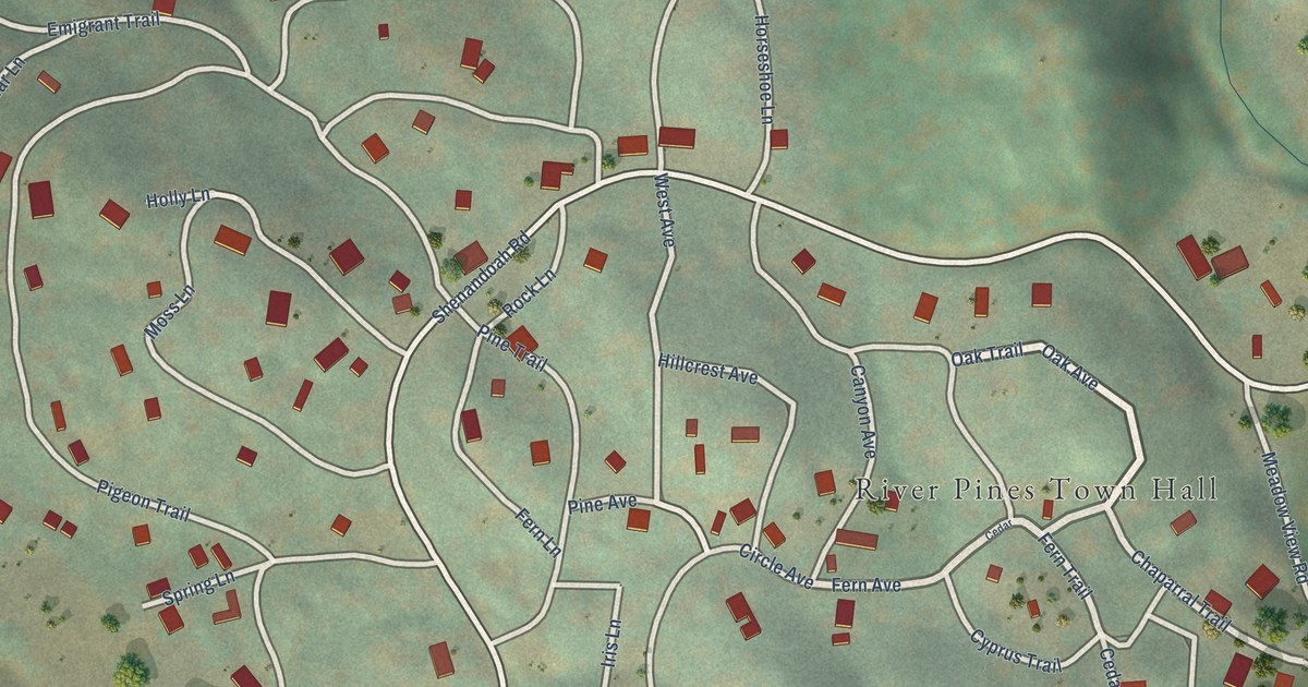
A detailed map of River Pines, California, showing every building in its true location, the roads by name, and shaded topographical relief.
Read More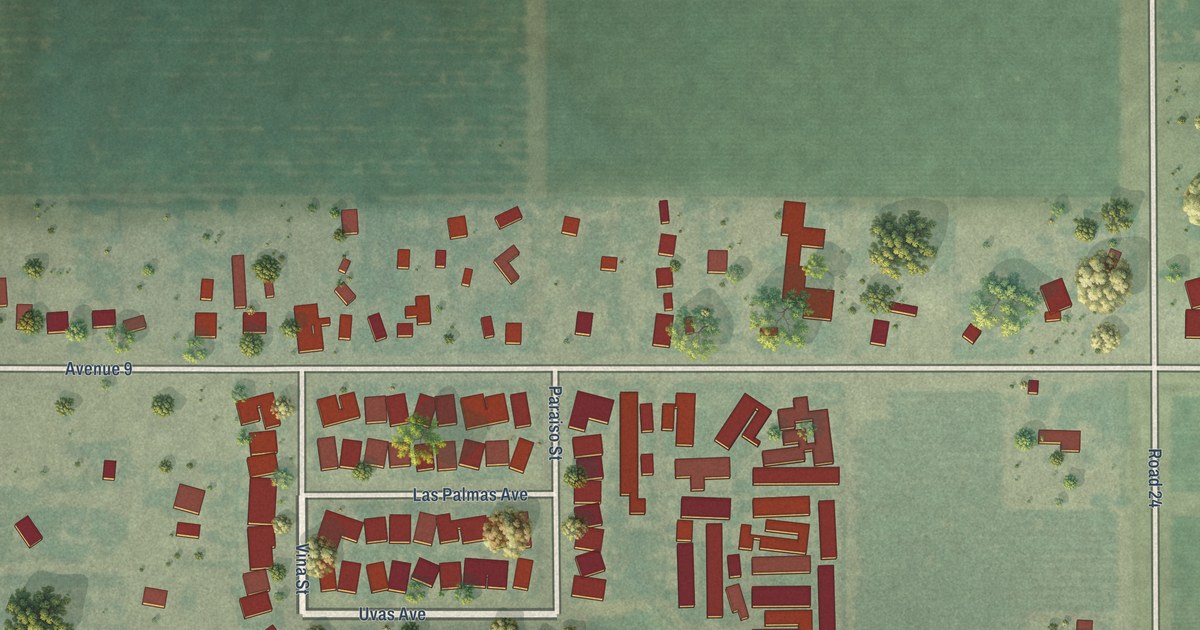
A detailed map of La Vina, California, showing every building in its true location, the roads by name, and shaded topographical relief.
Read More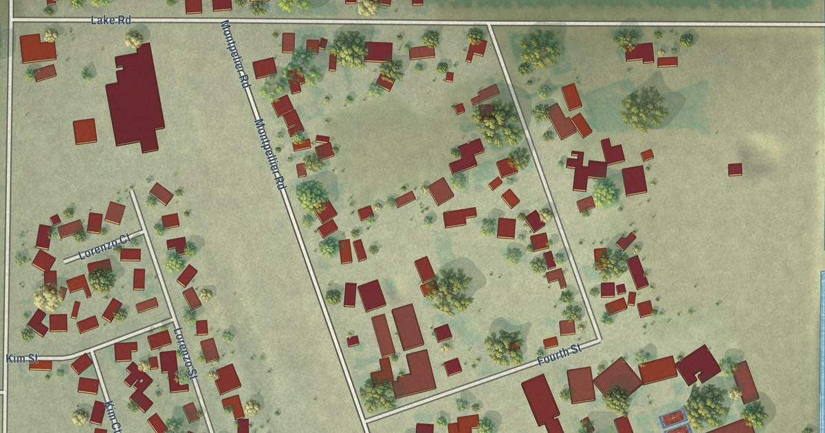
A detailed map of Hickman, California, showing every building in its true location, the roads by name, and shaded topographical relief.
Read More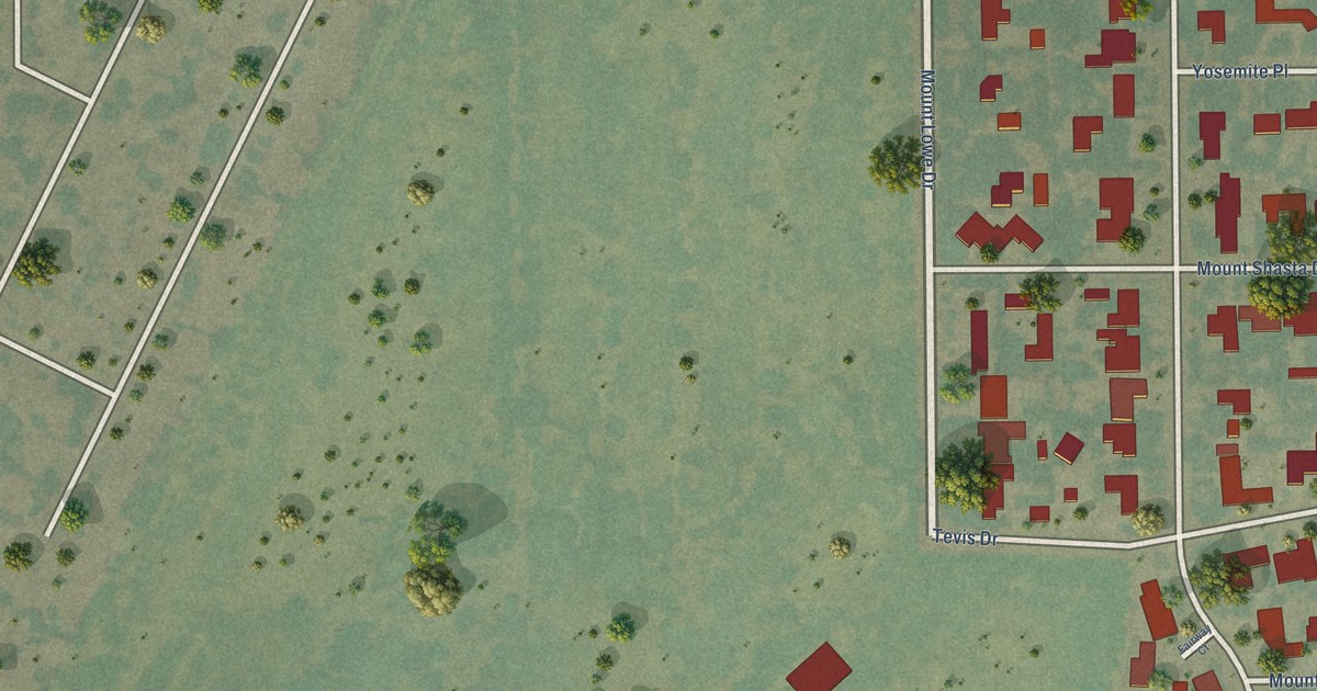
A detailed map of Olde Stockdale, California, showing every building in its true location, the roads by name, and shaded topographical relief.
Read More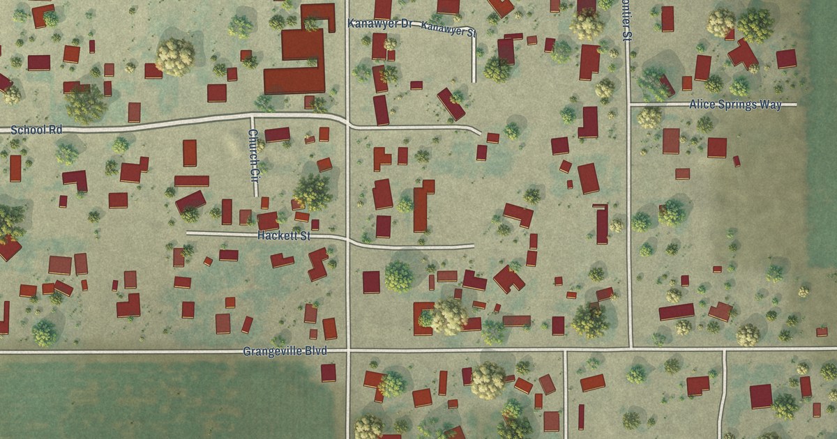
A detailed map of Grangeville, California, showing every building in its true location, the roads by name, and shaded topographical relief.
Read More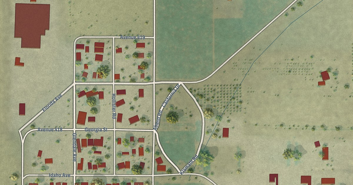
A detailed map of East Orosi, California, showing every building in its true location, the roads by name, and shaded topographical relief.
Read More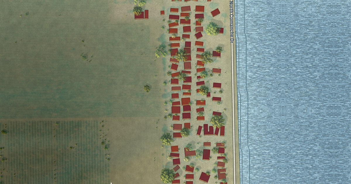
A detailed map of Di Giorgio, California, showing every building in its true location, the roads by name, and shaded topographical relief.
Read More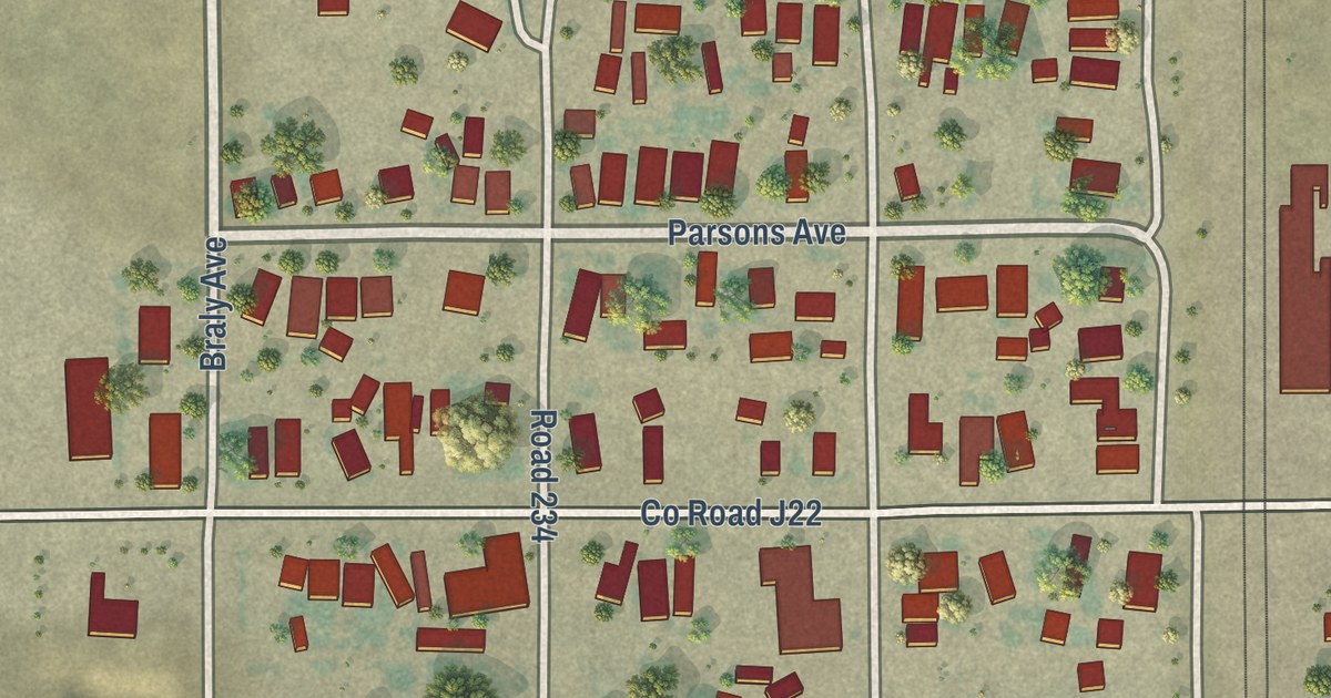
A detailed map of Ducor, California, showing every building in its true location, the roads by name, and shaded topographical relief.
Read More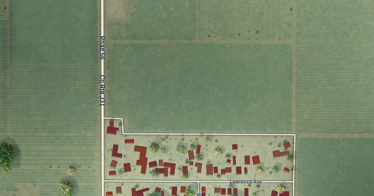
A detailed map of Delft Colony, California, showing every building in its true location, the roads by name, and shaded topographical relief.
Read More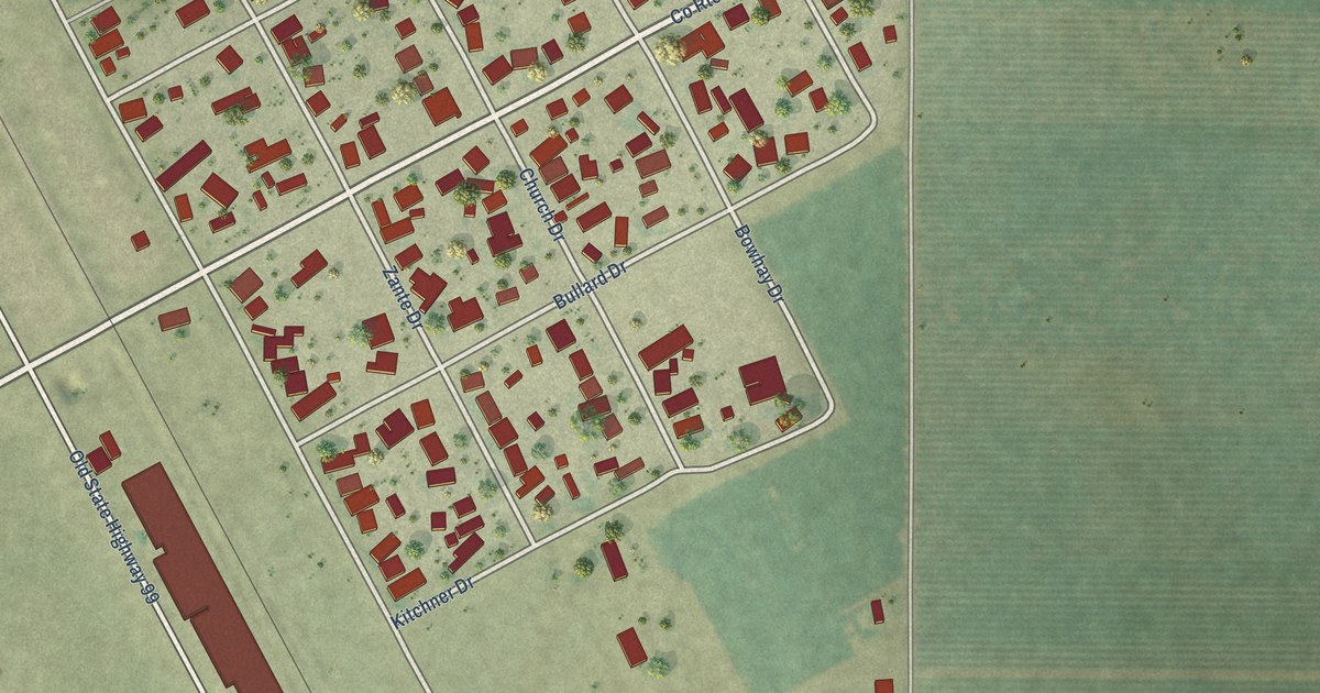
A detailed map of Traver, California, showing every building in its true location, the roads by name, and shaded topographical relief.
Read More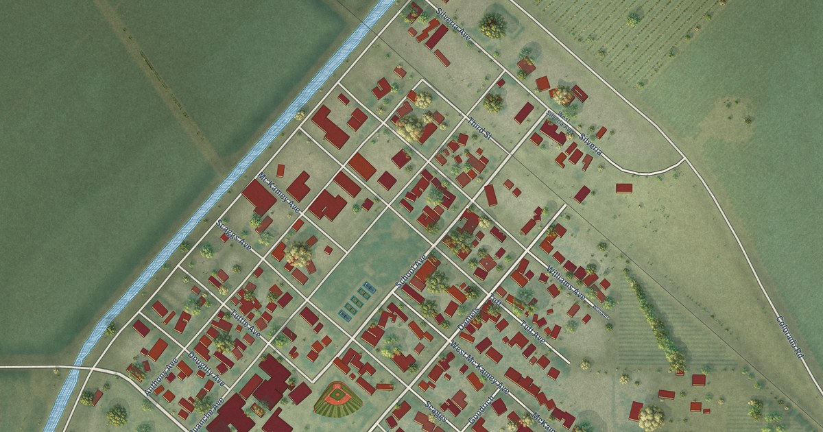
A detailed map of Tranquillity, California, showing every building in its true location, the roads by name, and shaded topographical relief.
Read More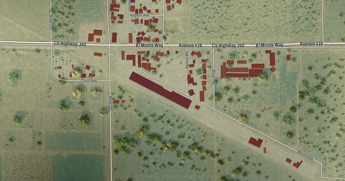
A detailed map of Sultana, California, showing every building in its true location, the roads by name, and shaded topographical relief.
Read More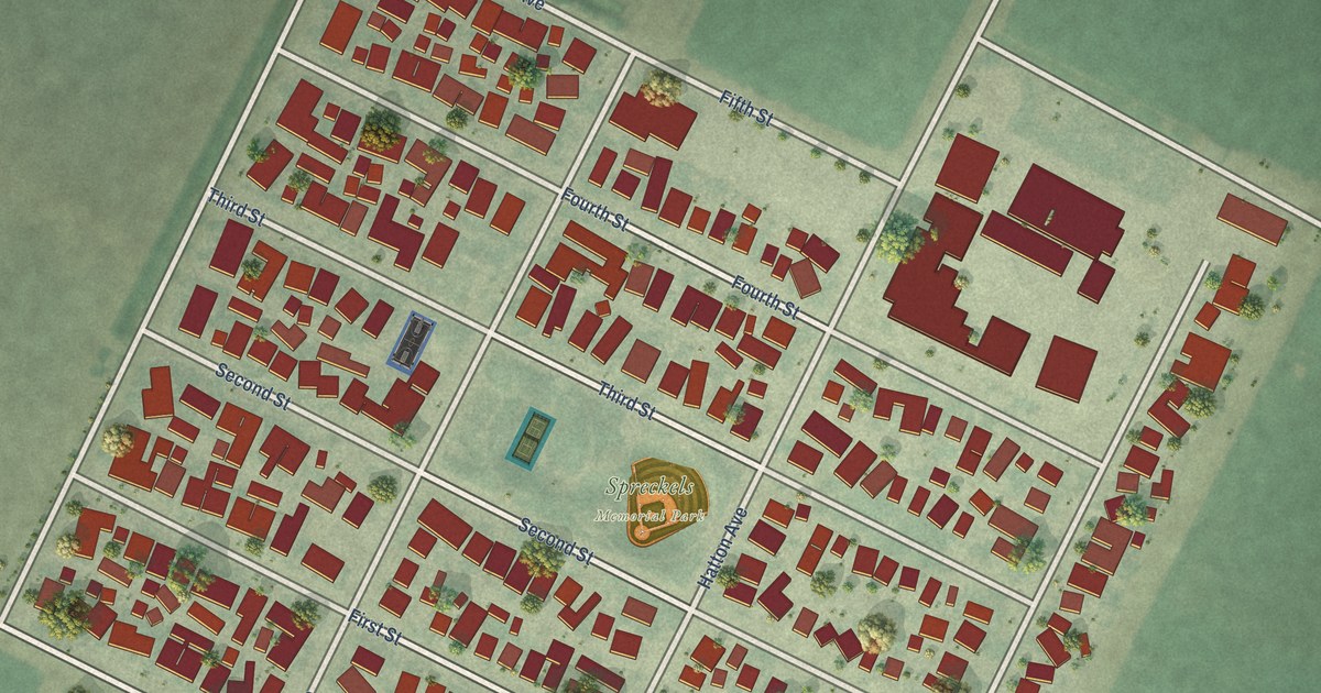
A detailed map of Spreckels, California, showing every building in its true location, the roads by name, and shaded topographical relief.
Read More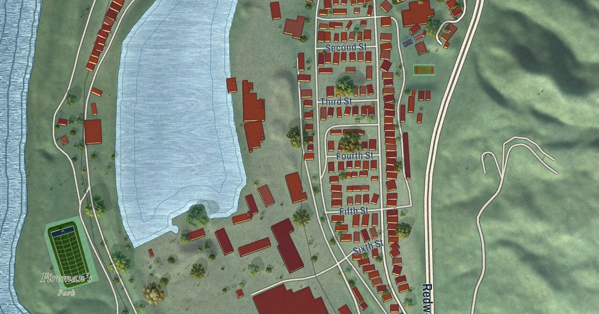
A detailed map of Scotia, California, showing every building in its true location, the roads by name, and shaded topographical relief.
Read More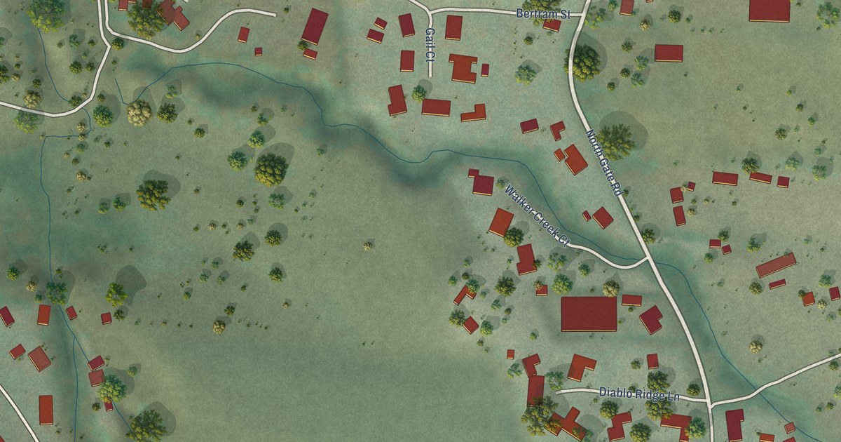
A detailed map of North Gate, California, showing every building in its true location, the roads by name, and shaded topographical relief.
Read More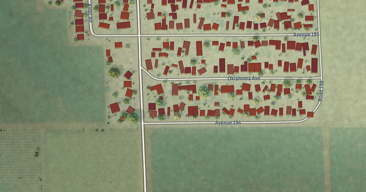
A detailed map of Plainview, California, showing every building in its true location, the roads by name, and shaded topographical relief.
Read More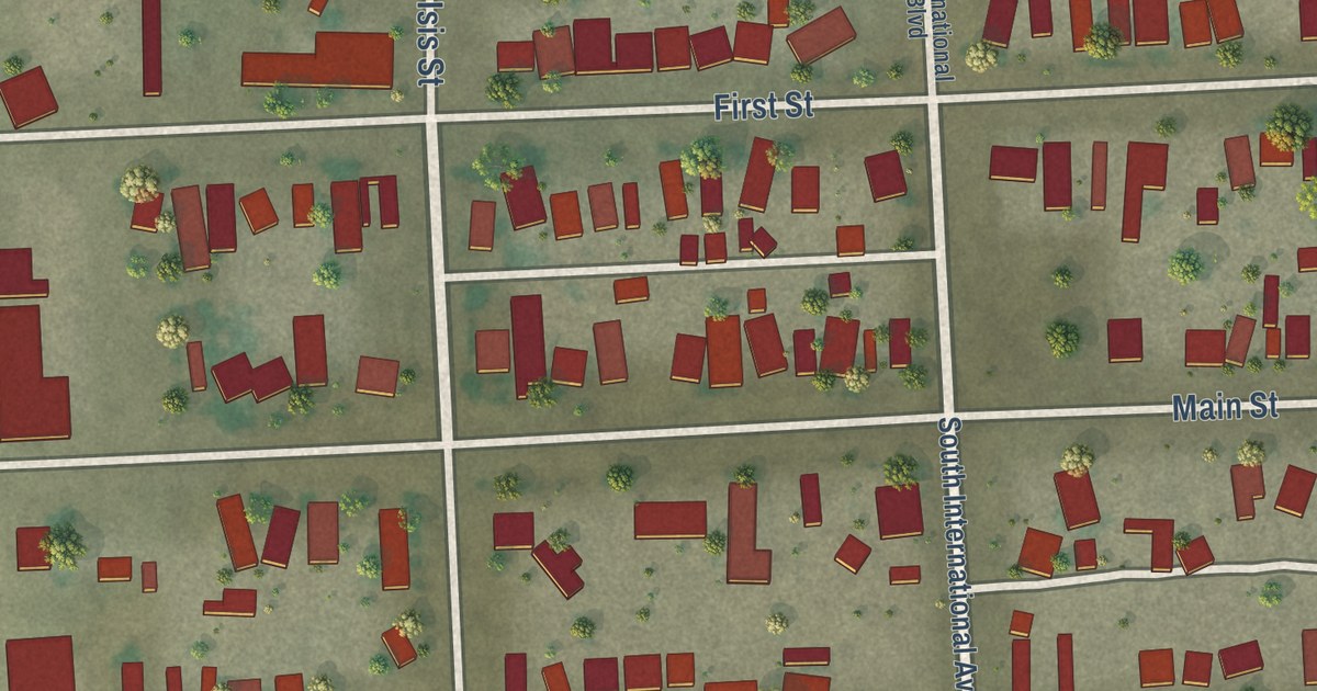
A detailed map of Niland, California, showing every building in its true location, the roads by name, and shaded topographical relief.
Read More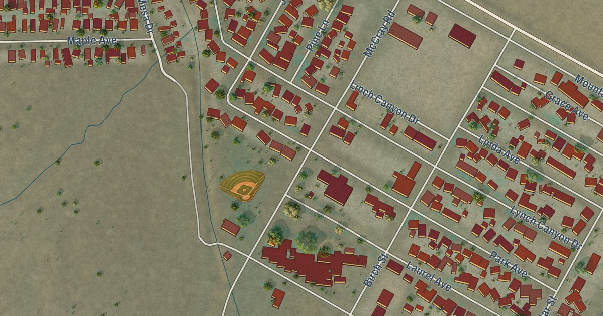
A detailed map of Mountain Mesa, California, showing every building in its true location, the roads by name, and shaded topographical relief.
Read More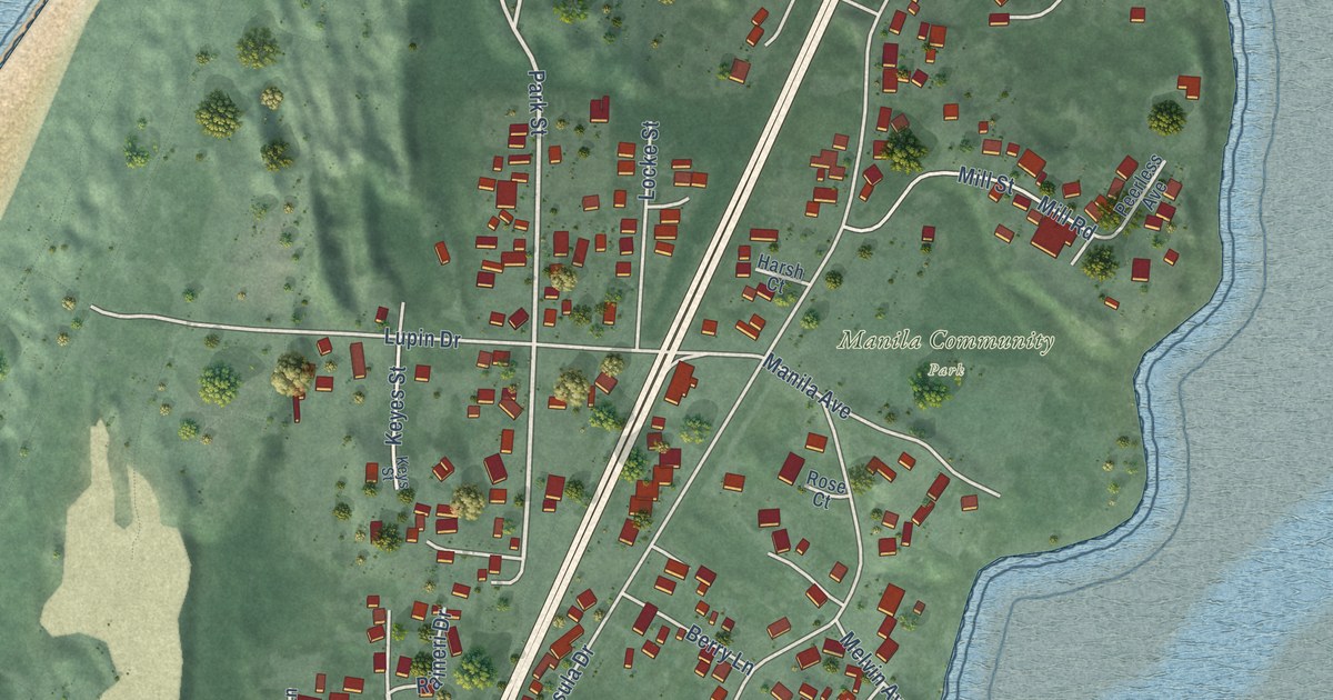
A detailed map of Manila, California, showing every building in its true location, the roads by name, and shaded topographical relief.
Read More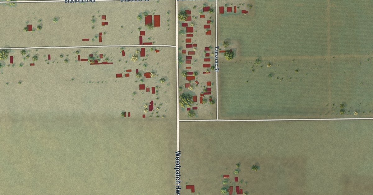
A detailed map of Fuller Acres, California, showing every building in its true location, the roads by name, and shaded topographical relief.
Read More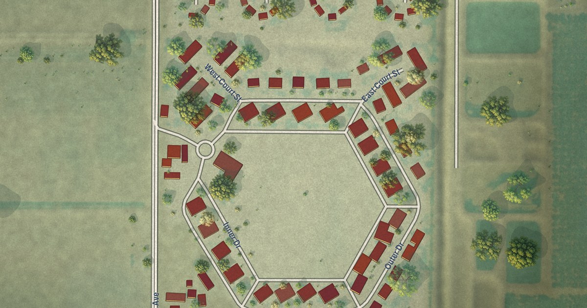
A detailed map of Linnell Camp, California, showing every building in its true location, the roads by name, and shaded topographical relief.
Read More















