Detailed Map of Claysburg, Pennsylvania
A detailed map of Claysburg, Pennsylvania, showing every building in its true location, the roads by name, and shaded topographical relief.
Read More
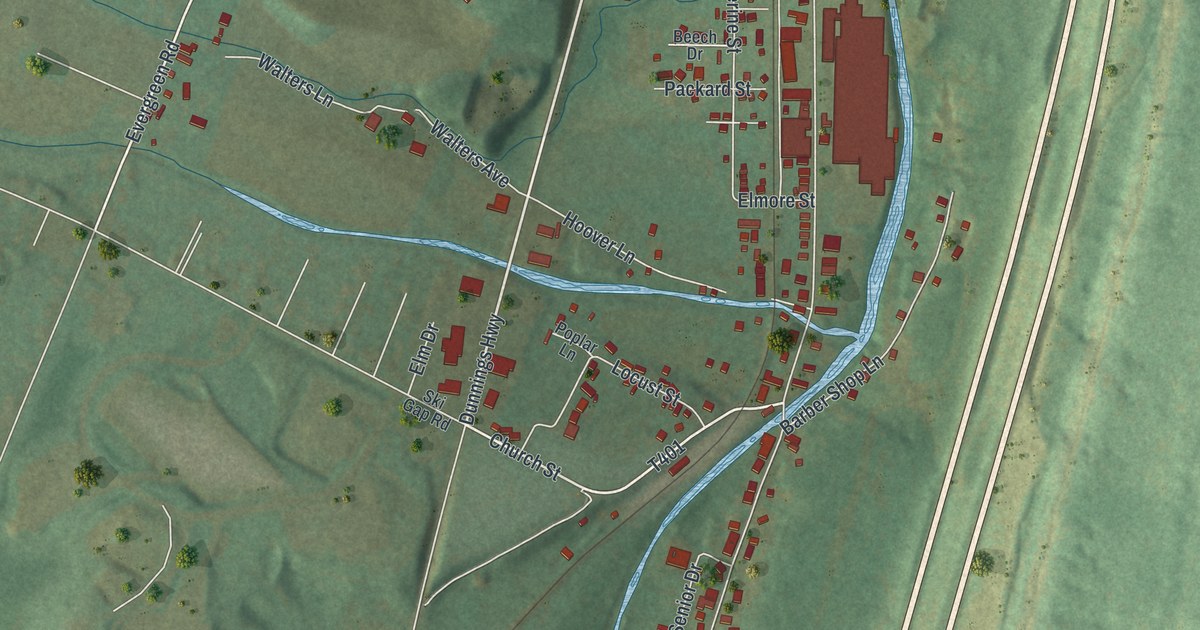
A detailed map of Claysburg, Pennsylvania, showing every building in its true location, the roads by name, and shaded topographical relief.
Read More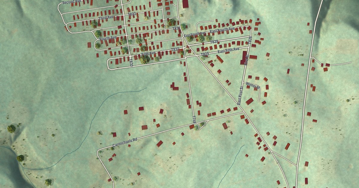
A detailed map of Crucible, Pennsylvania, showing every building in its true location, the roads by name, and shaded topographical relief.
Read More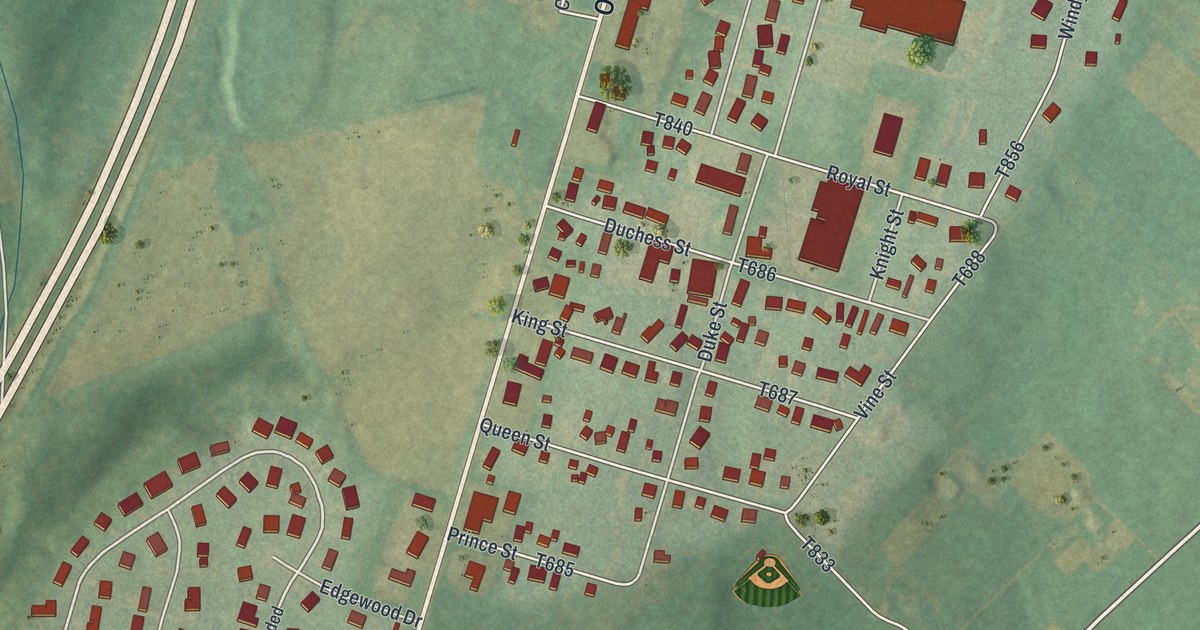
A detailed map of Church Hill, Pennsylvania, showing every building in its true location, the roads by name, and shaded topographical relief.
Read More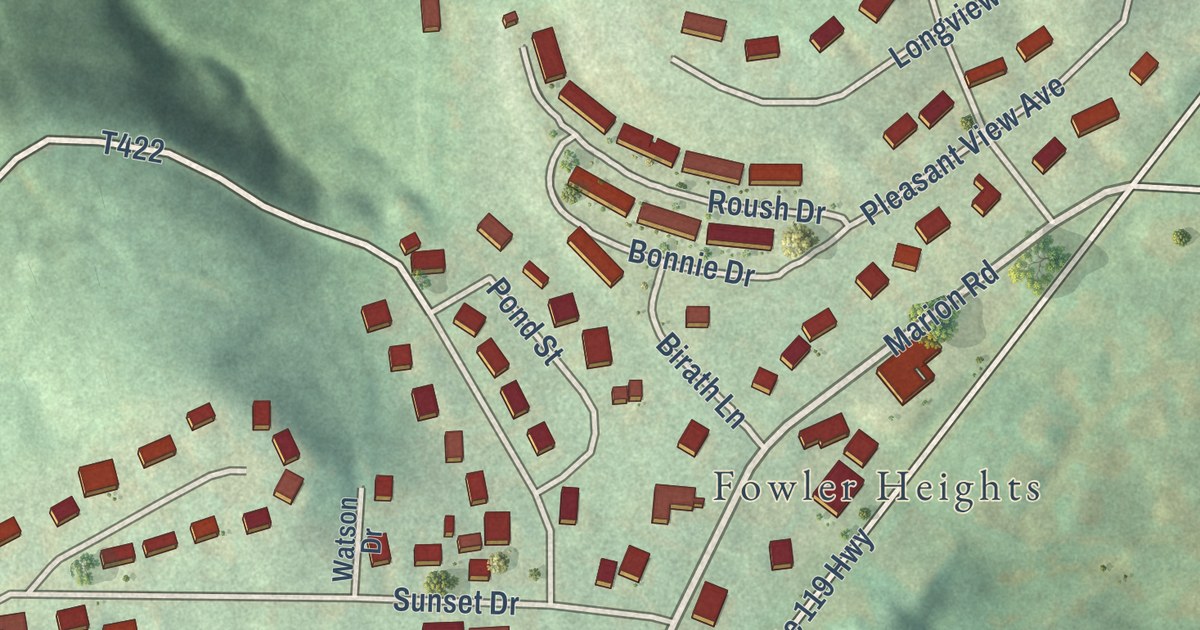
A detailed map of Chevy Chase Heights, Pennsylvania, showing every building in its true location, the roads by name, and shaded topographical relief.
Read More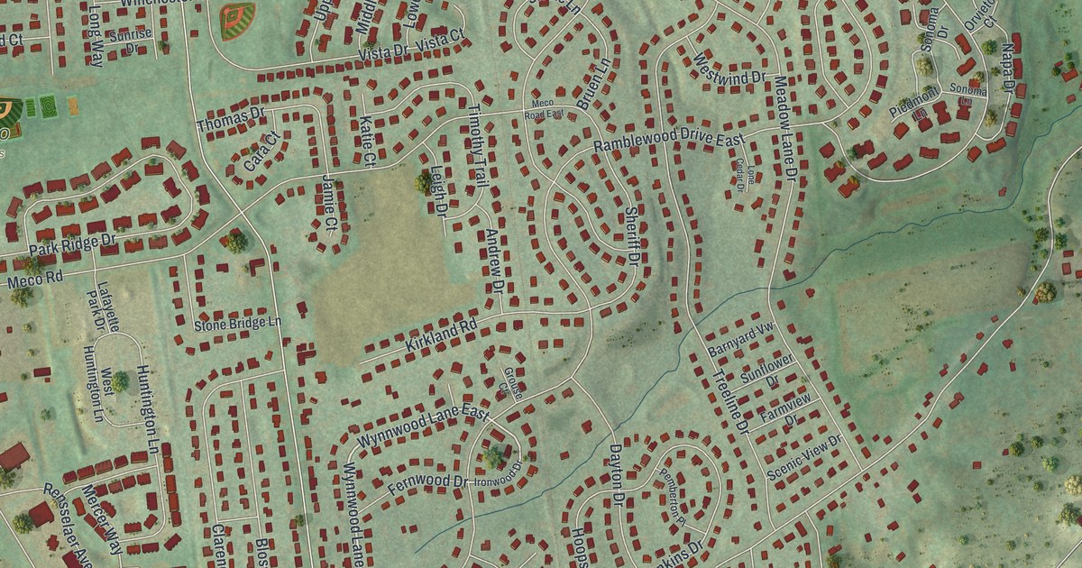
A detailed map of Chestnut Hill, Pennsylvania, showing every building in its true location, the roads by name, and shaded topographical relief.
Read More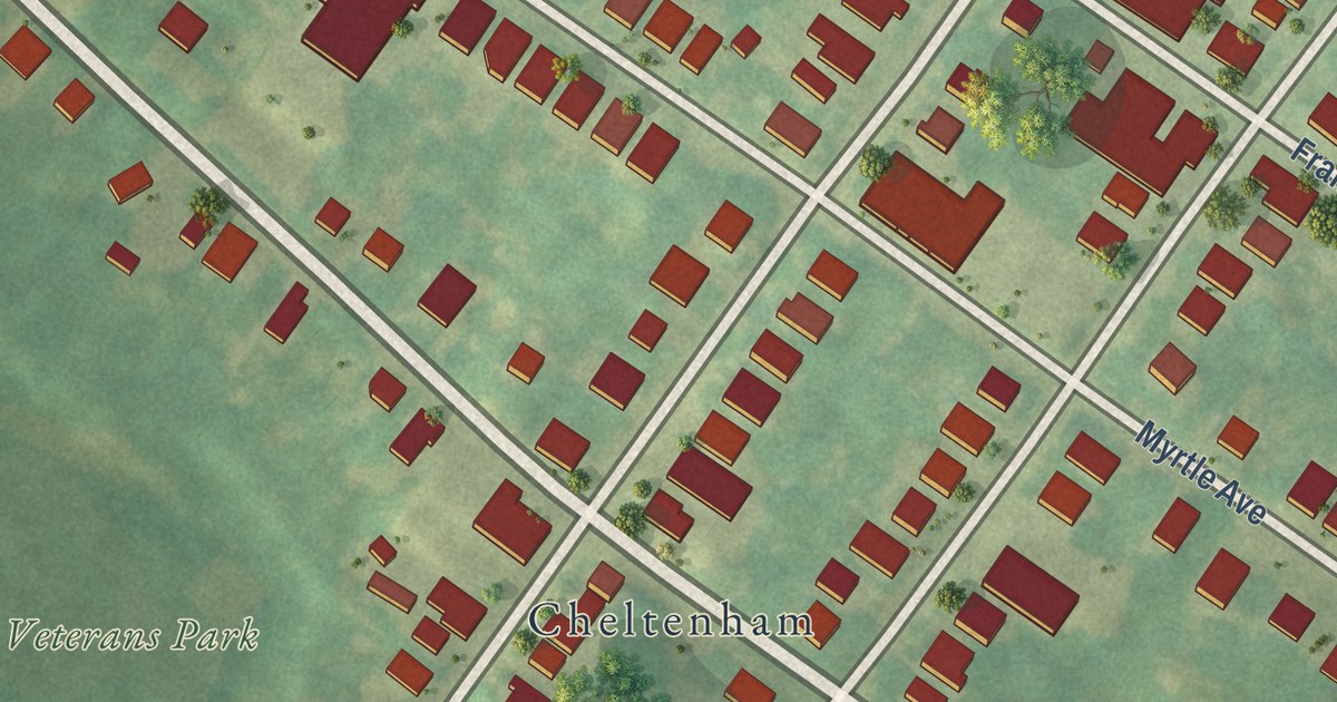
A detailed map of Cheltenham Village, Pennsylvania, showing every building in its true location, the roads by name, and shaded topographical relief.
Read More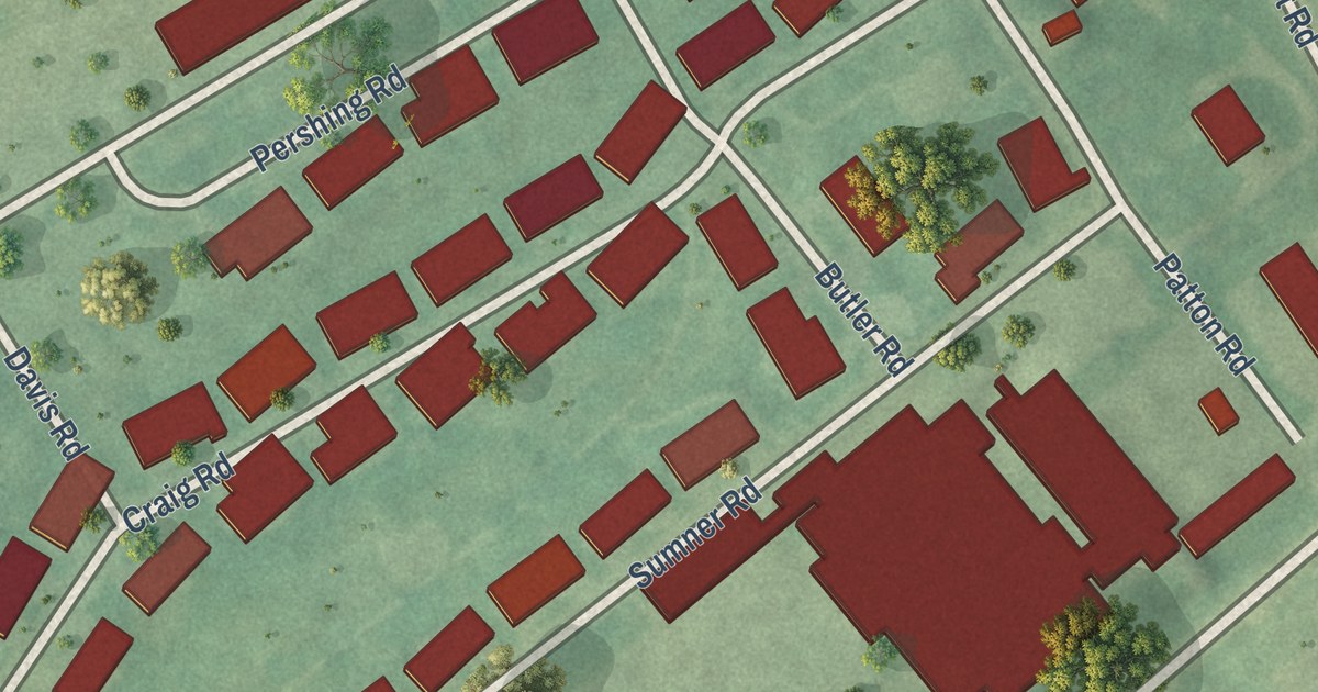
A detailed map of Carlisle Barracks, Pennsylvania, showing every building in its true location, the roads by name, and shaded topographical relief.
Read More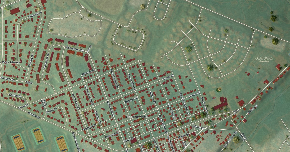
A detailed map of Cetronia, Pennsylvania, showing every building in its true location, the roads by name, and shaded topographical relief.
Read More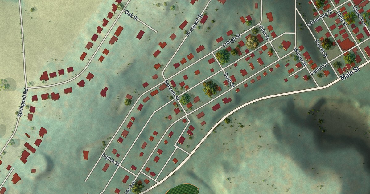
A detailed map of Cementon, Pennsylvania, showing every building in its true location, the roads by name, and shaded topographical relief.
Read More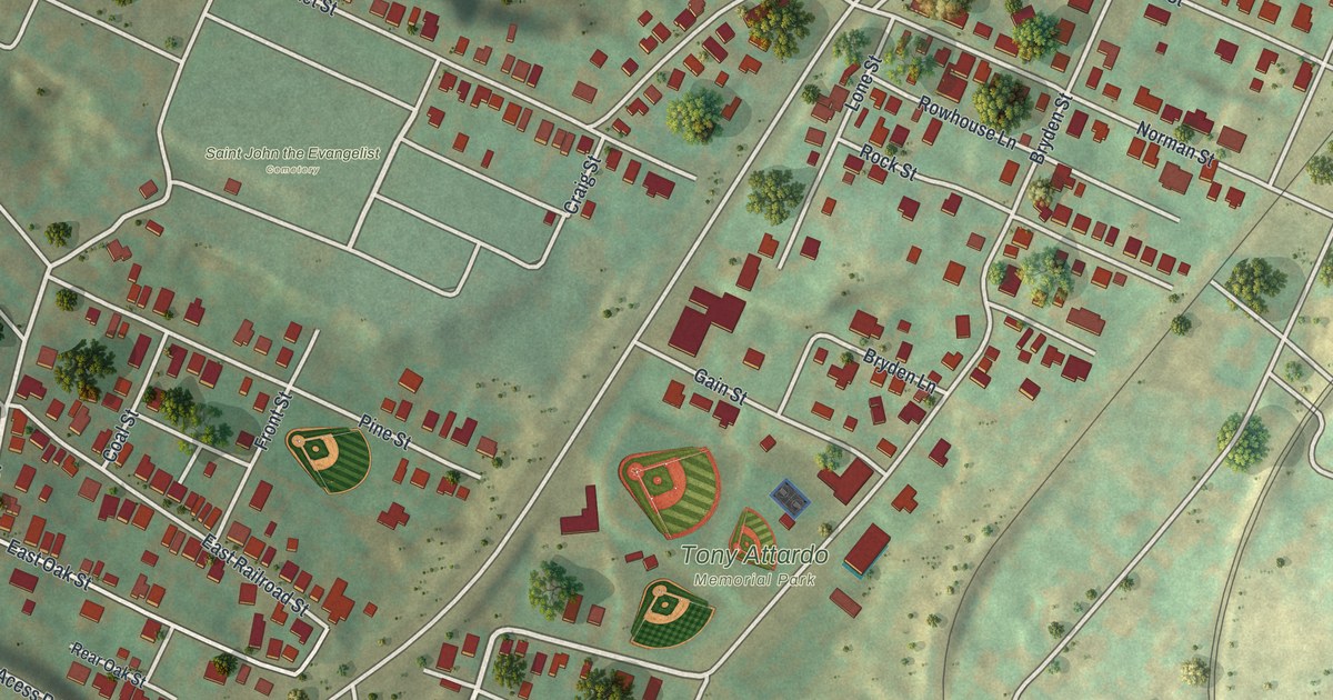
A detailed map of Browntown, Pennsylvania, showing every building in its true location, the roads by name, and shaded topographical relief.
Read More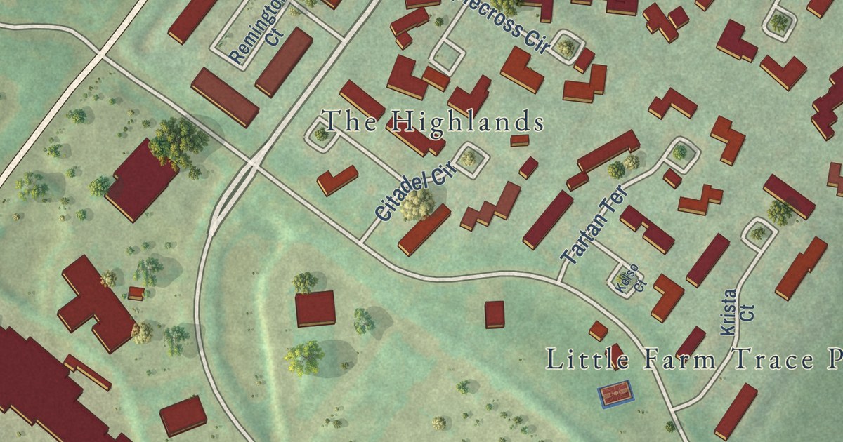
A detailed map of Brittany Farms-The Highlands, Pennsylvania, showing every building in its true location, the roads by name, and shaded topographical relief.
Read More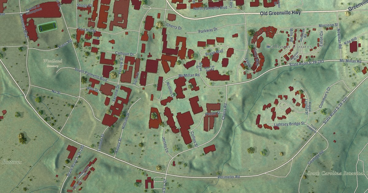
A detailed map of Clemson University, South Carolina, showing every building in its true location, the roads by name, and shaded topographical relief.
Read More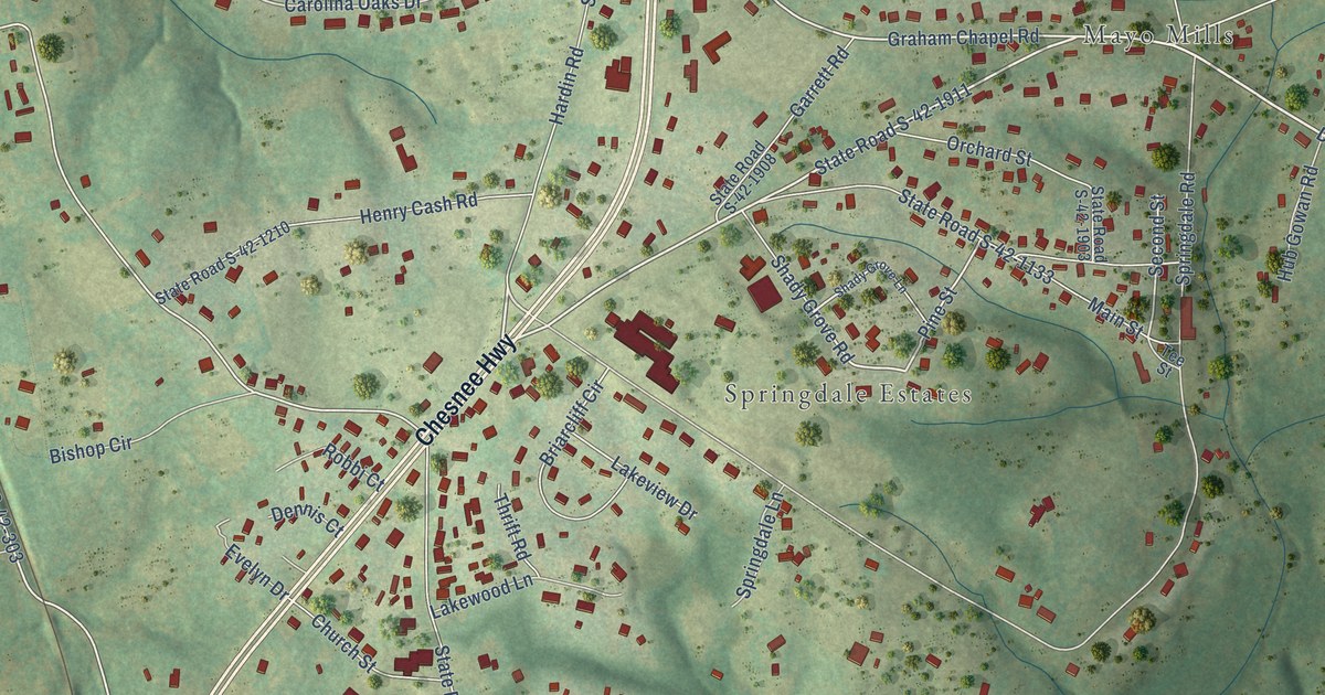
A detailed map of Mayo, South Carolina, showing every building in its true location, the roads by name, and shaded topographical relief.
Read More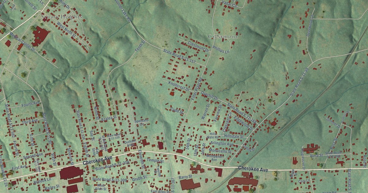
A detailed map of East Gaffney, South Carolina, showing every building in its true location, the roads by name, and shaded topographical relief.
Read More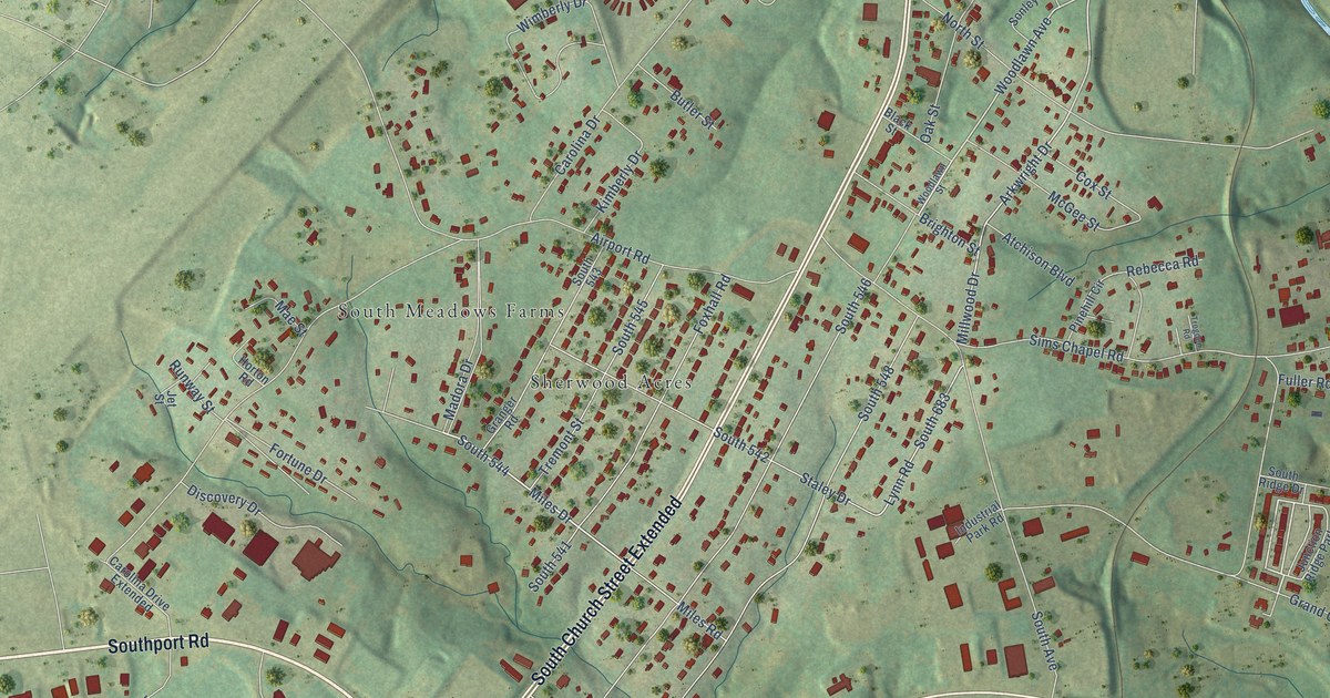
A detailed map of Arkwright, South Carolina, showing every building in its true location, the roads by name, and shaded topographical relief.
Read More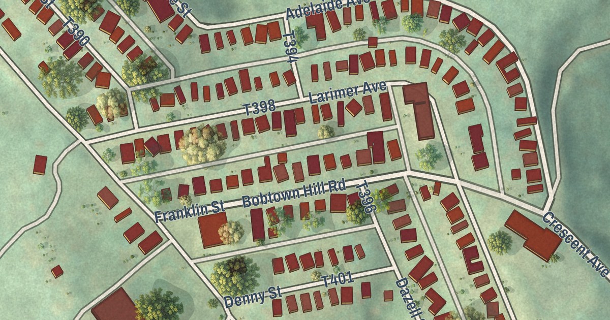
A detailed map of Bobtown, Pennsylvania, showing every building in its true location, the roads by name, and shaded topographical relief.
Read More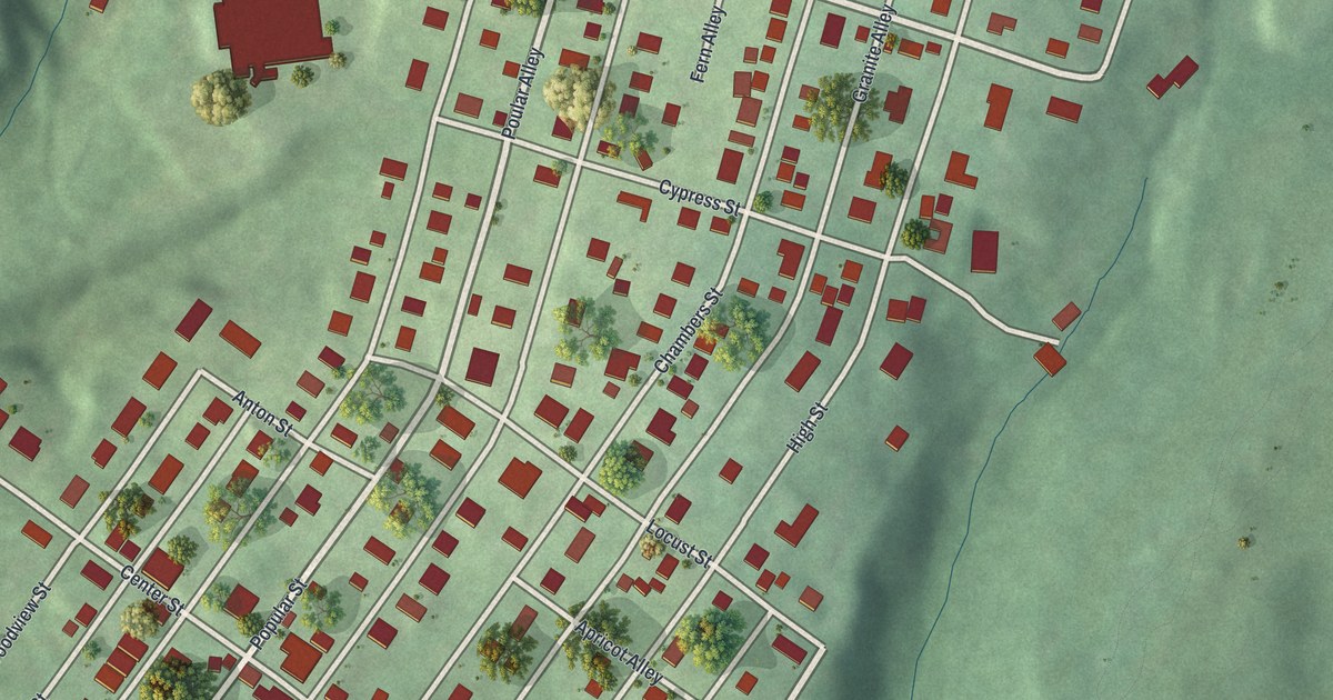
A detailed map of Bressler, Pennsylvania, showing every building in its true location, the roads by name, and shaded topographical relief.
Read More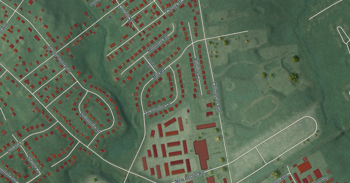
A detailed map of Boothwyn, Pennsylvania, showing every building in its true location, the roads by name, and shaded topographical relief.
Read More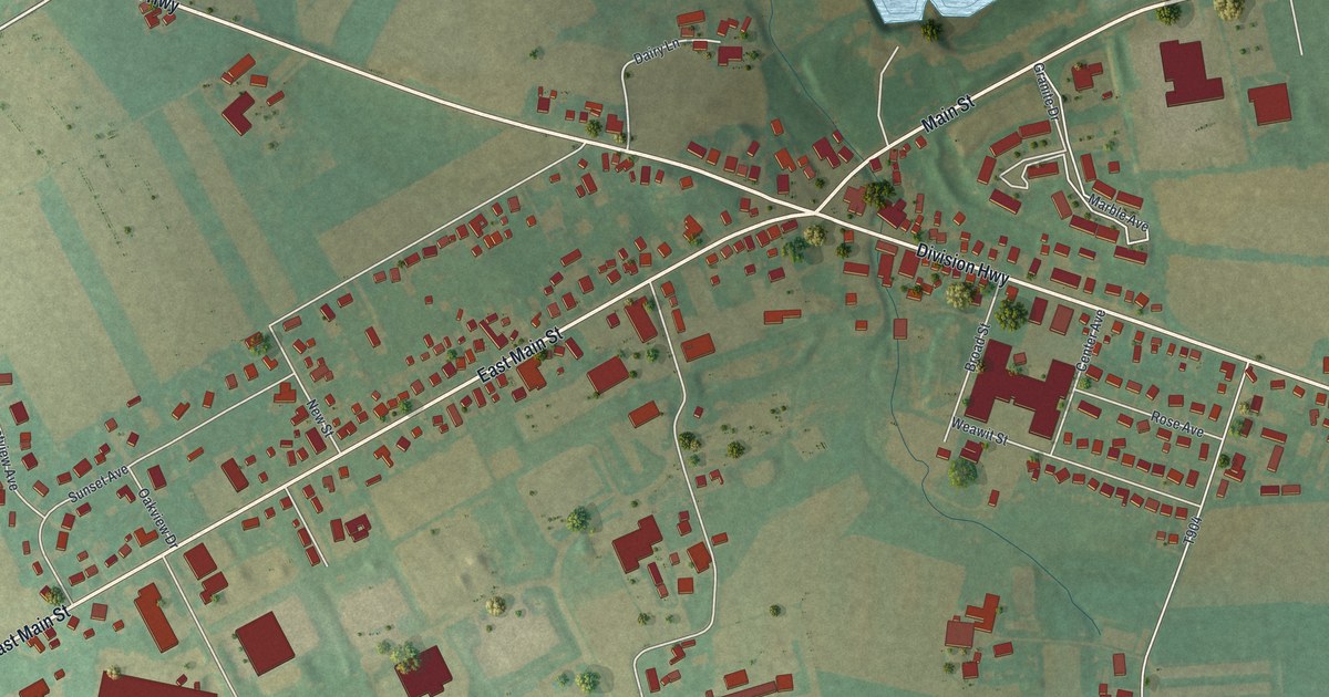
A detailed map of Blue Ball, Pennsylvania, showing every building in its true location, the roads by name, and shaded topographical relief.
Read More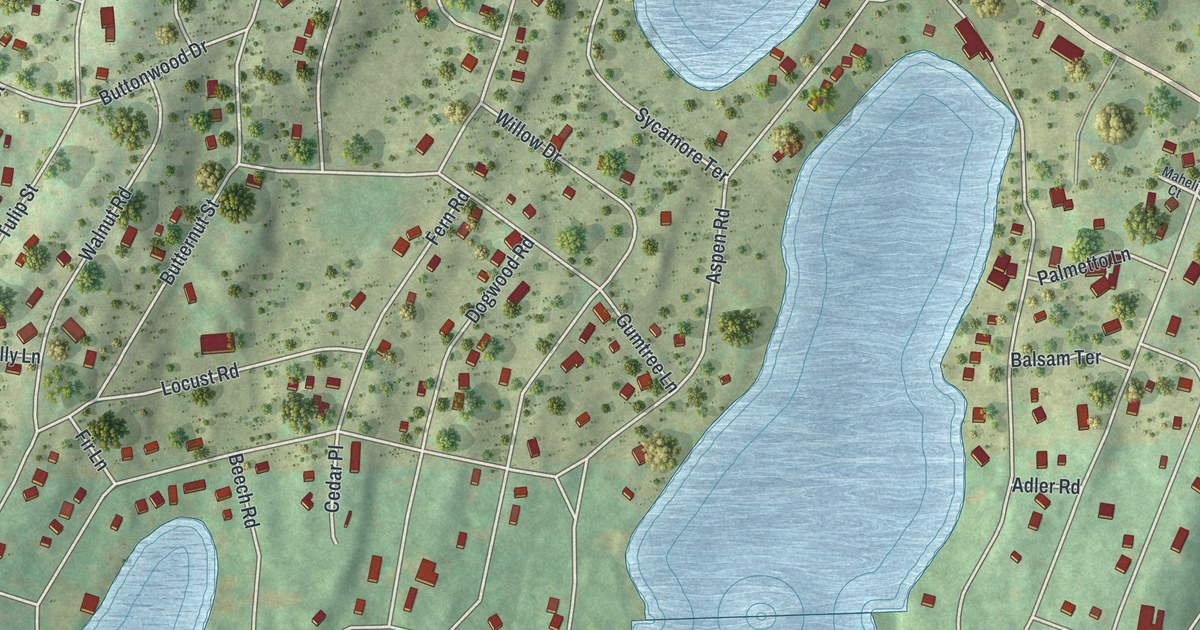
A detailed map of Birchwood Lakes, Pennsylvania, showing every building in its true location, the roads by name, and shaded topographical relief.
Read More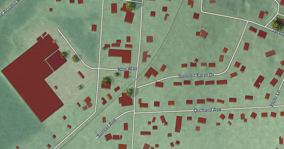
A detailed map of Blue Ridge Summit, Pennsylvania, showing every building in its true location, the roads by name, and shaded topographical relief.
Read More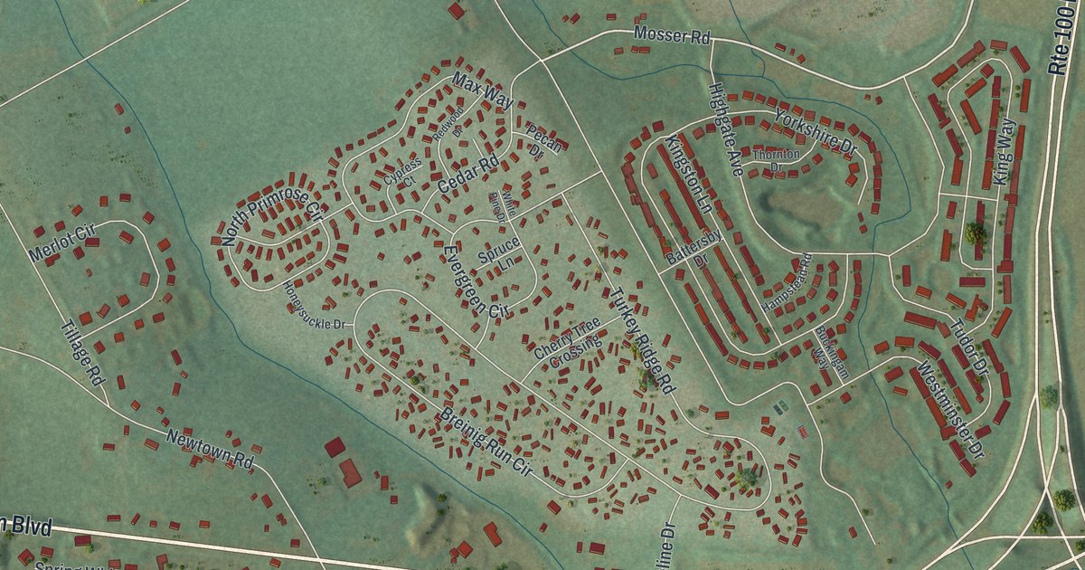
A detailed map of Breinigsville, Pennsylvania, showing every building in its true location, the roads by name, and shaded topographical relief.
Read More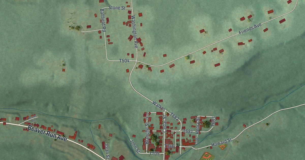
A detailed map of Beaverdale, Pennsylvania, showing every building in its true location, the roads by name, and shaded topographical relief.
Read More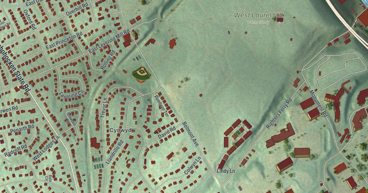
A detailed map of Bala Cynwyd, Pennsylvania, showing every building in its true location, the roads by name, and shaded topographical relief.
Read More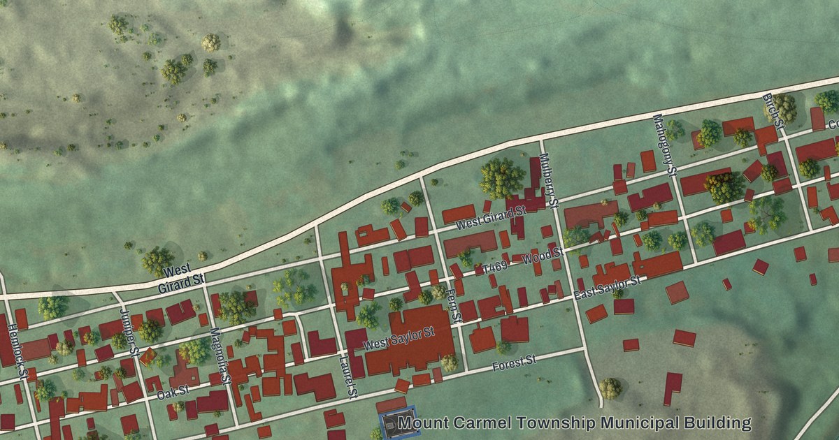
A detailed map of Atlas, Pennsylvania, showing every building in its true location, the roads by name, and shaded topographical relief.
Read More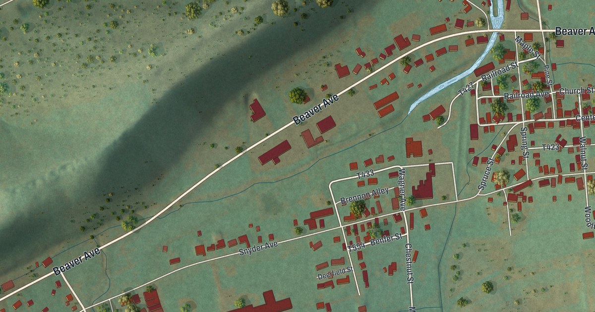
A detailed map of Beaver Springs, Pennsylvania, showing every building in its true location, the roads by name, and shaded topographical relief.
Read More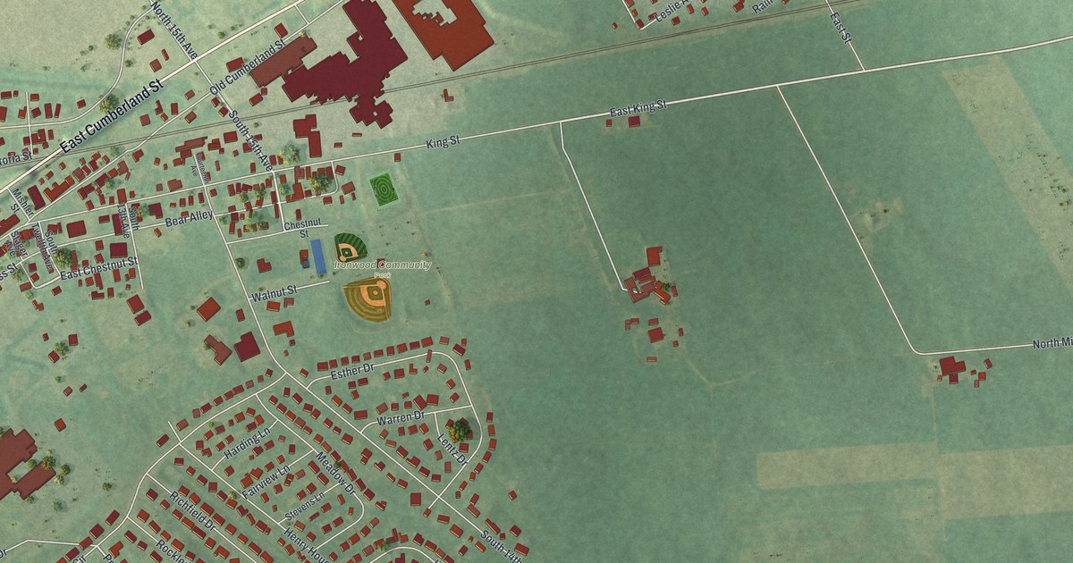
A detailed map of Avon, Pennsylvania, showing every building in its true location, the roads by name, and shaded topographical relief.
Read More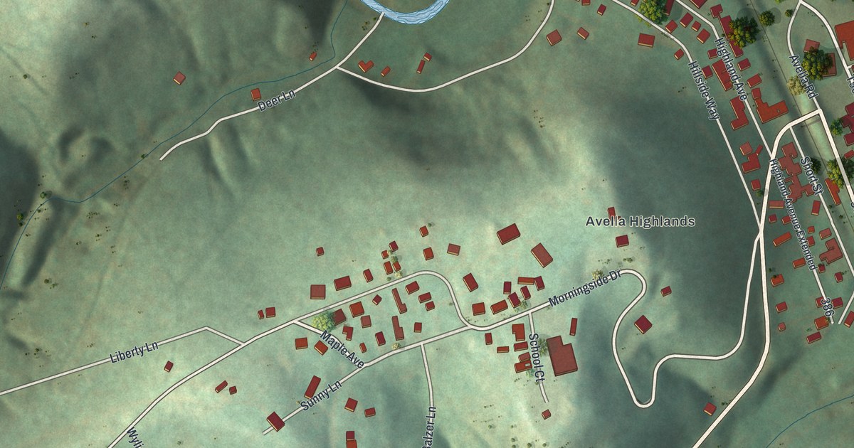
A detailed map of Avella, Pennsylvania, showing every building in its true location, the roads by name, and shaded topographical relief.
Read More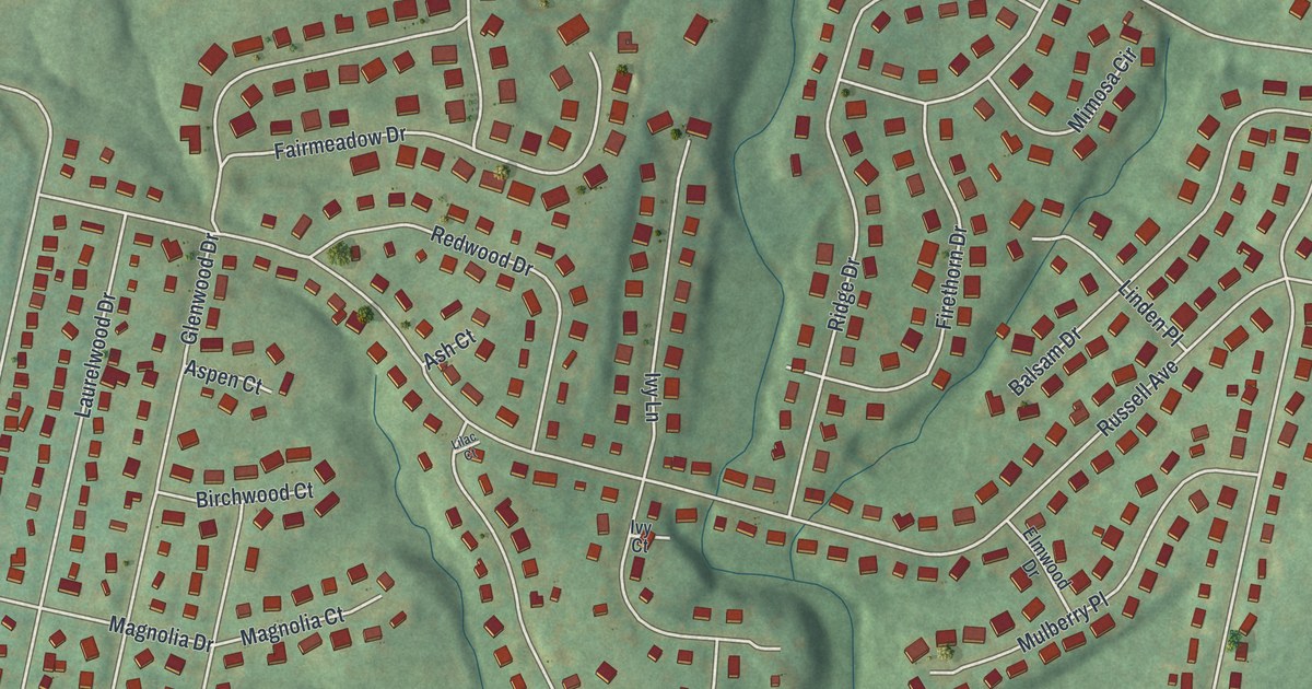
A detailed map of Amity Gardens, Pennsylvania, showing every building in its true location, the roads by name, and shaded topographical relief.
Read More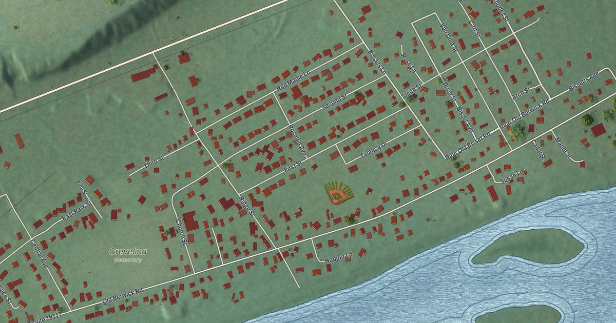
A detailed map of Almedia, Pennsylvania, showing every building in its true location, the roads by name, and shaded topographical relief.
Read More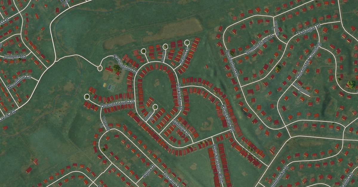
A detailed map of Ancient Oaks, Pennsylvania, showing every building in its true location, the roads by name, and shaded topographical relief.
Read More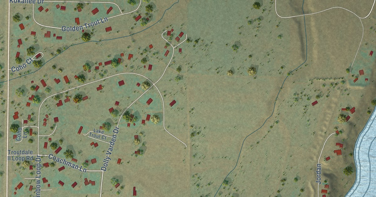
A detailed map of McAllister, Montana, showing every building in its true location, the roads by name, and shaded topographical relief.
Read More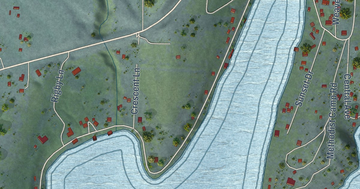
A detailed map of Rollins, Montana, showing every building in its true location, the roads by name, and shaded topographical relief.
Read More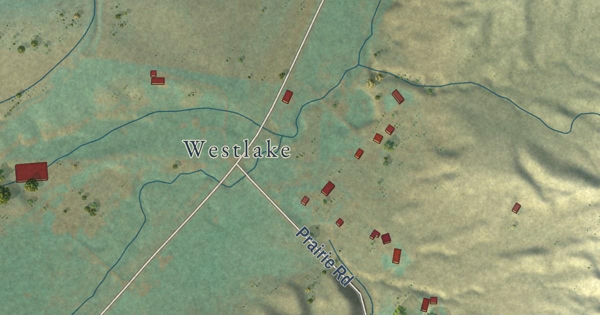
A detailed map of Amsterdam, Montana, showing every building in its true location, the roads by name, and shaded topographical relief.
Read More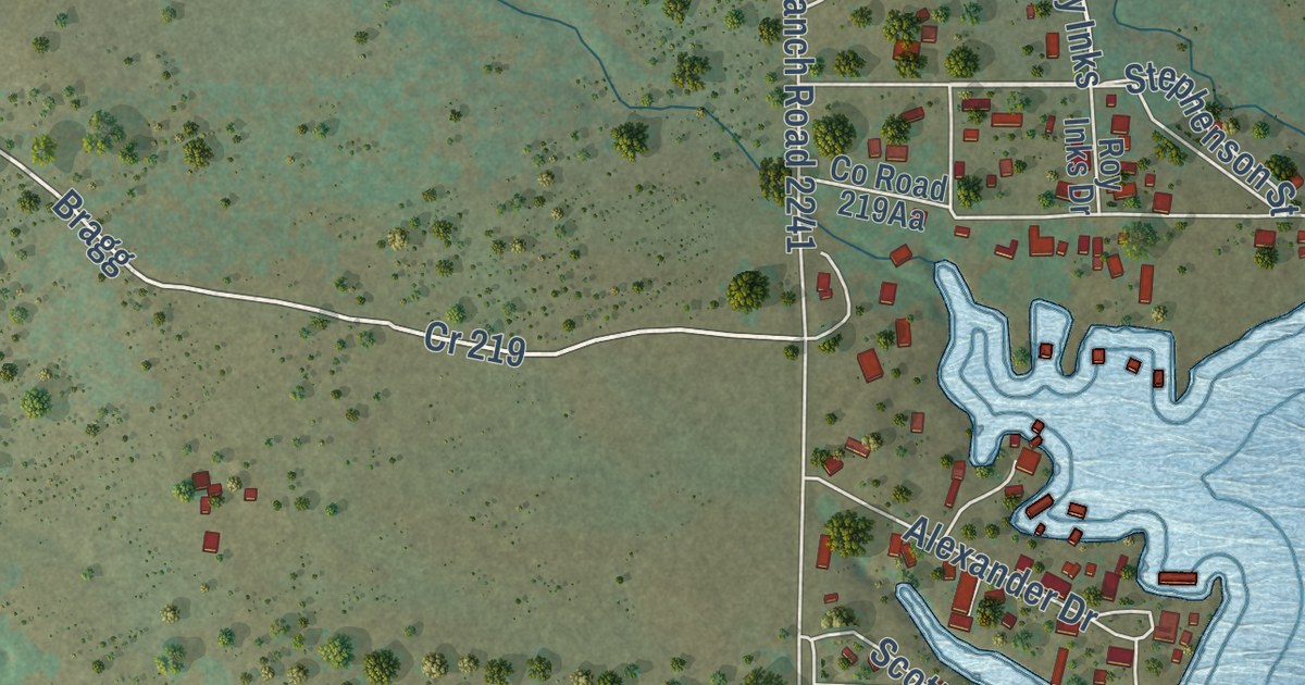
A detailed map of Tow, Texas, showing every building in its true location, the roads by name, and shaded topographical relief.
Read More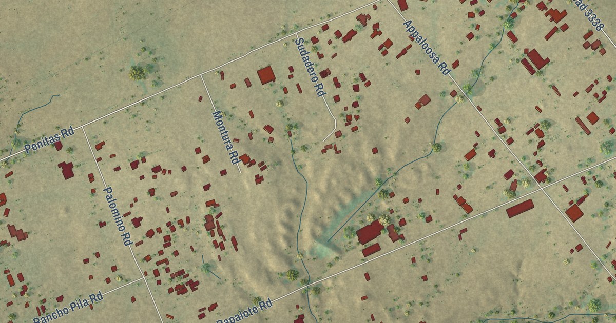
A detailed map of Ranchos Penitas West, Texas, showing every building in its true location, the roads by name, and shaded topographical relief.
Read More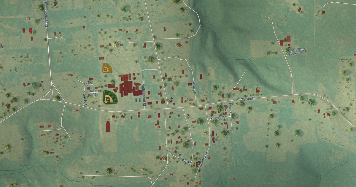
A detailed map of McLeod, Texas, showing every building in its true location, the roads by name, and shaded topographical relief.
Read More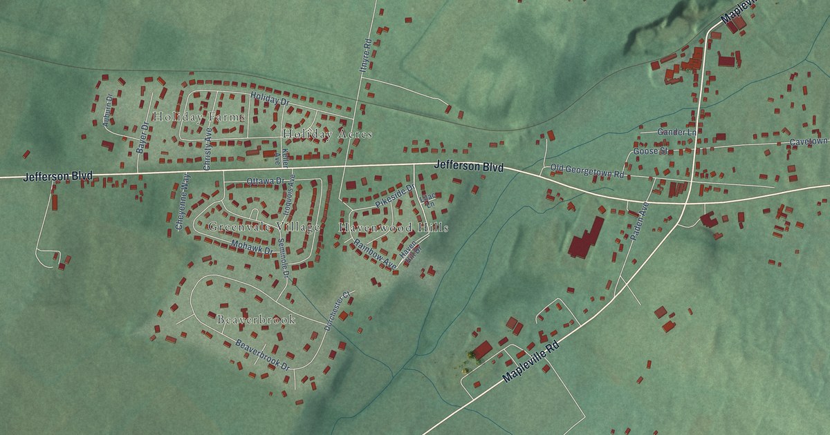
A detailed map of Cavetown, Maryland, showing every building in its true location, the roads by name, and shaded topographical relief.
Read More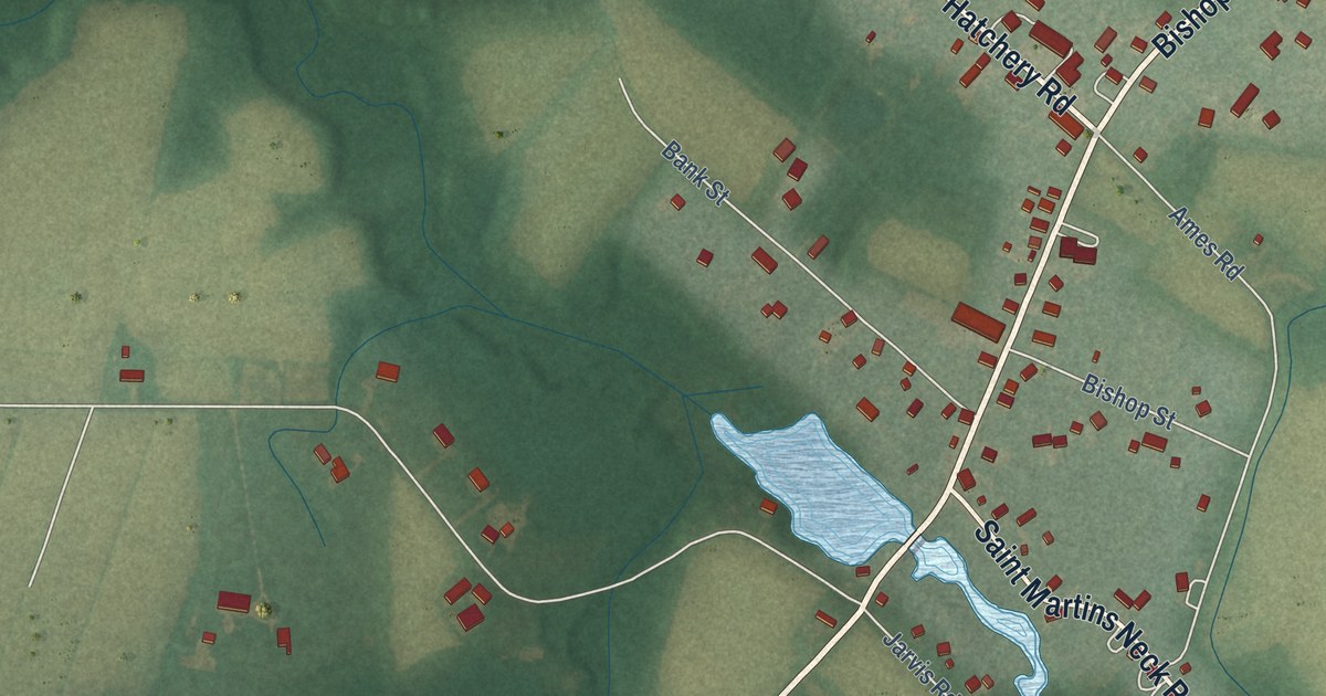
A detailed map of Bishopville, Maryland, showing every building in its true location, the roads by name, and shaded topographical relief.
Read More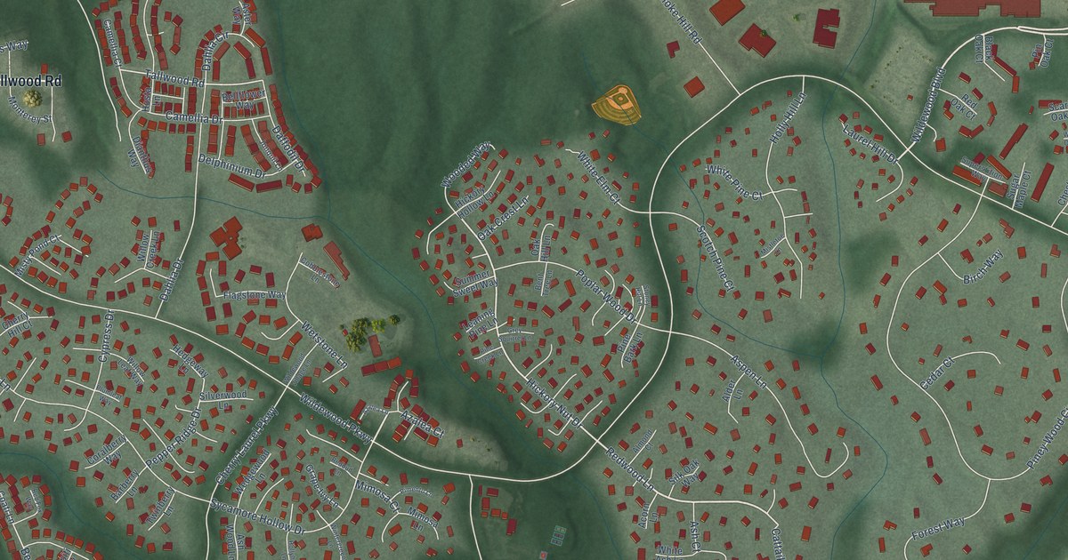
A detailed map of Wildewood, Maryland, showing every building in its true location, the roads by name, and shaded topographical relief.
Read More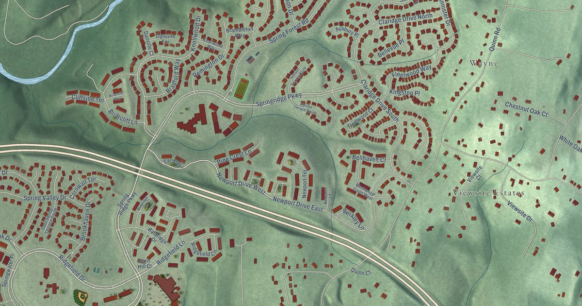
A detailed map of Spring Ridge, Maryland, showing every building in its true location, the roads by name, and shaded topographical relief.
Read More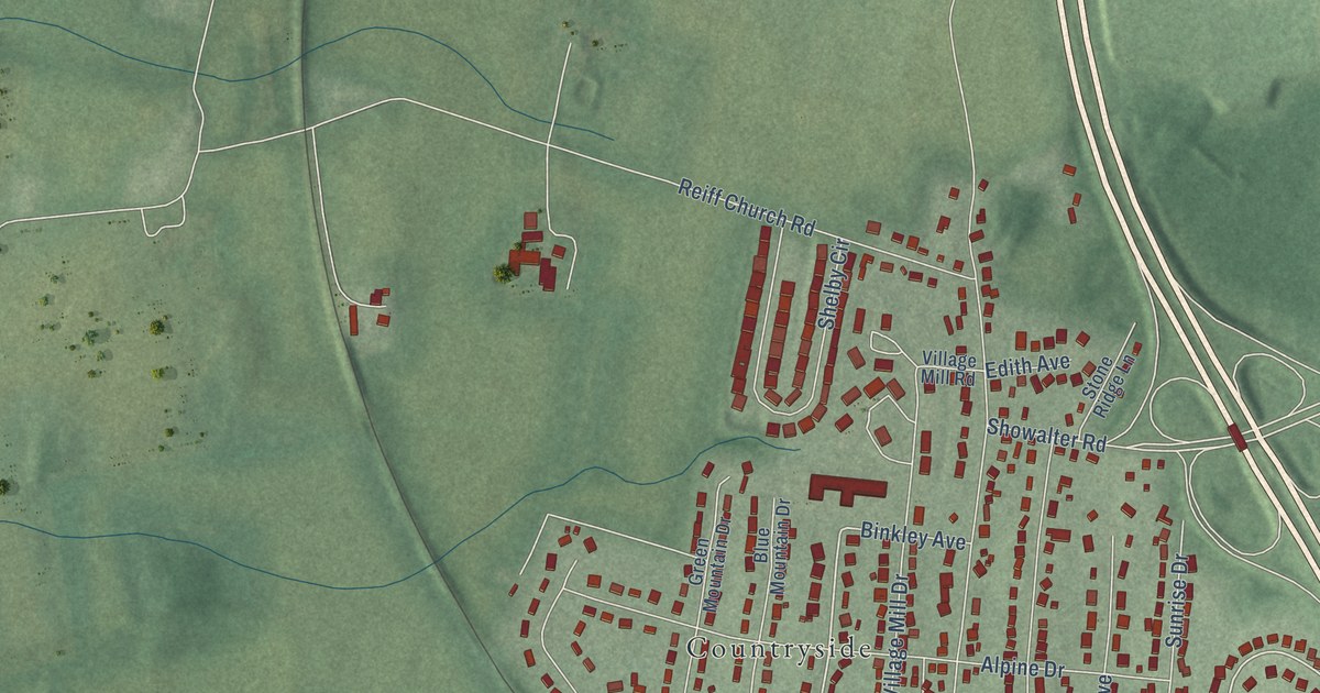
A detailed map of Maugansville, Maryland, showing every building in its true location, the roads by name, and shaded topographical relief.
Read More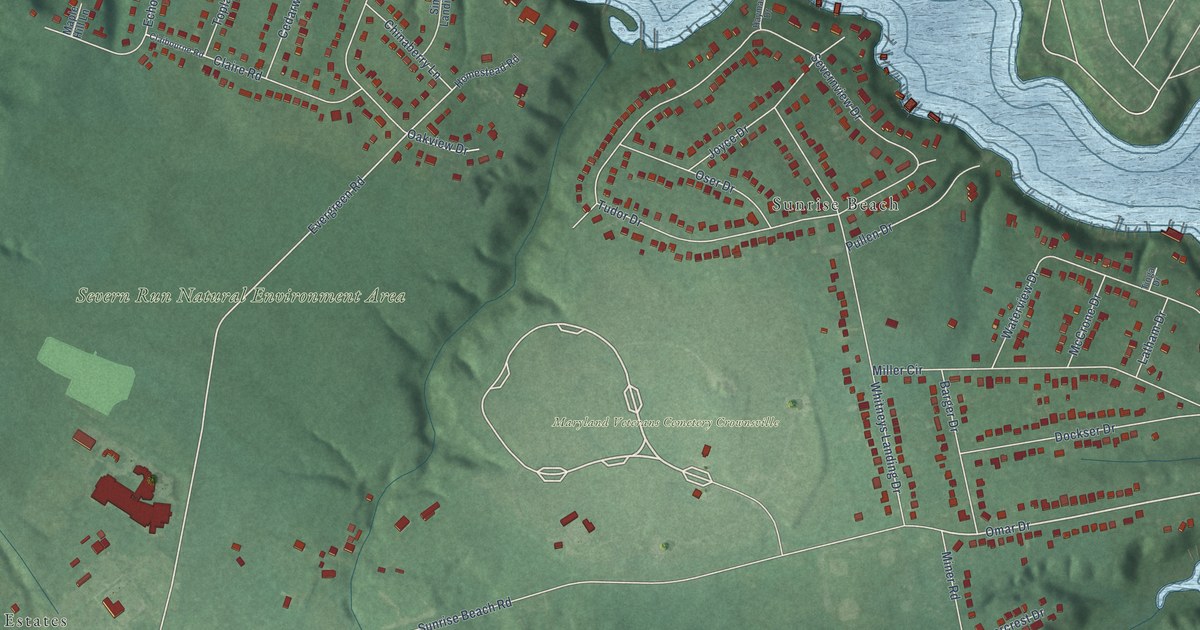
A detailed map of Arden on the Severn, Maryland, showing every building in its true location, the roads by name, and shaded topographical relief.
Read More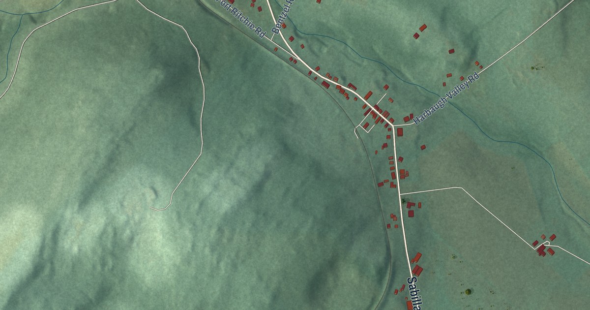
A detailed map of Sabillasville, Maryland, showing every building in its true location, the roads by name, and shaded topographical relief.
Read More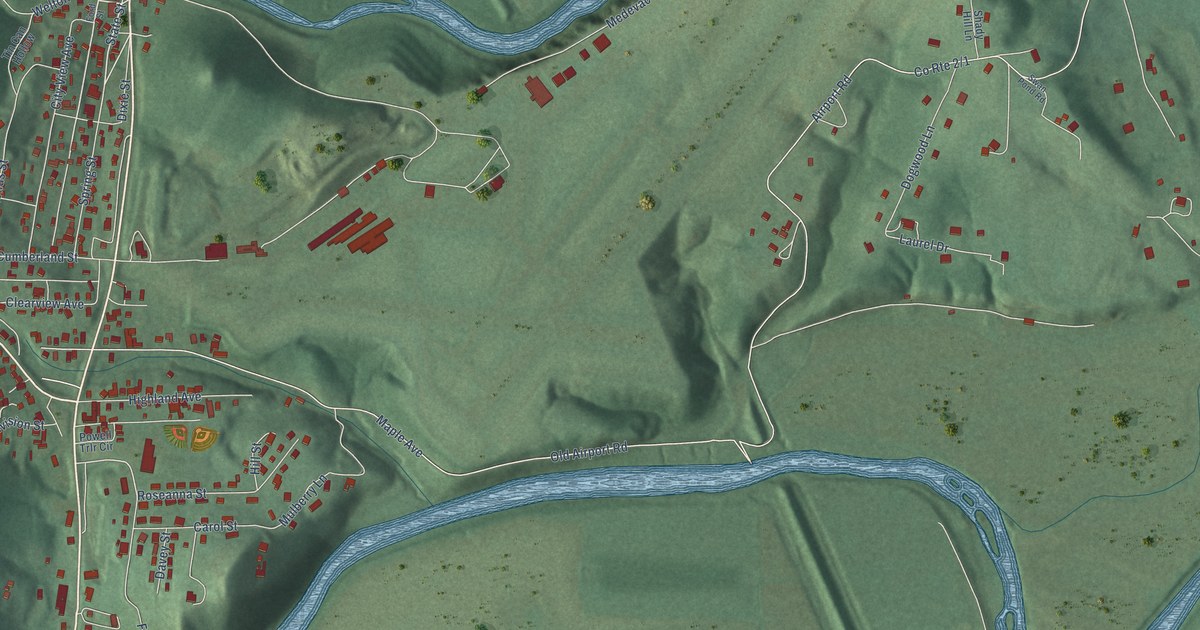
A detailed map of Wiley Ford, West Virginia, showing every building in its true location, the roads by name, and shaded topographical relief.
Read More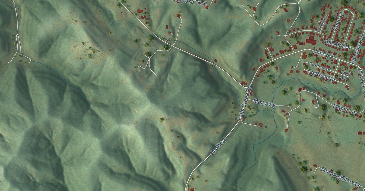
A detailed map of Tornado, West Virginia, showing every building in its true location, the roads by name, and shaded topographical relief.
Read More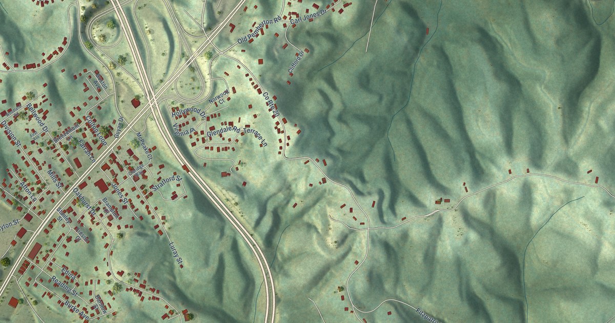
A detailed map of MacArthur, West Virginia, showing every building in its true location, the roads by name, and shaded topographical relief.
Read More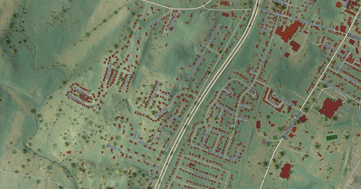
A detailed map of Inwood, West Virginia, showing every building in its true location, the roads by name, and shaded topographical relief.
Read More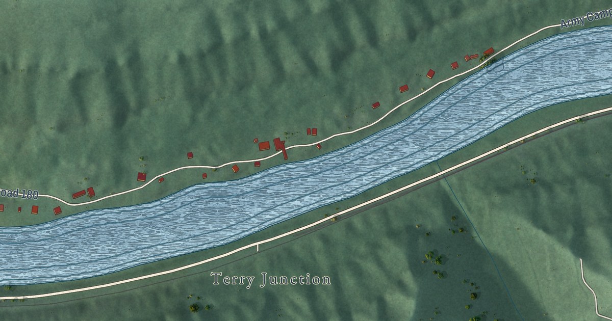
A detailed map of Prince, West Virginia, showing every building in its true location, the roads by name, and shaded topographical relief.
Read More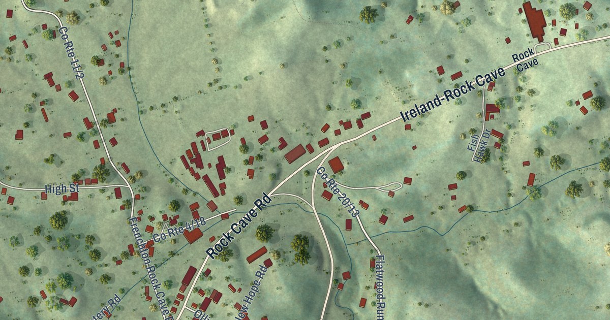
A detailed map of Rock Cave, West Virginia, showing every building in its true location, the roads by name, and shaded topographical relief.
Read More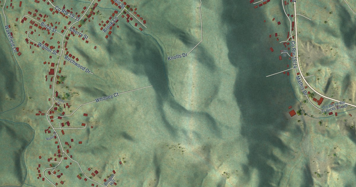
A detailed map of Daniels, West Virginia, showing every building in its true location, the roads by name, and shaded topographical relief.
Read More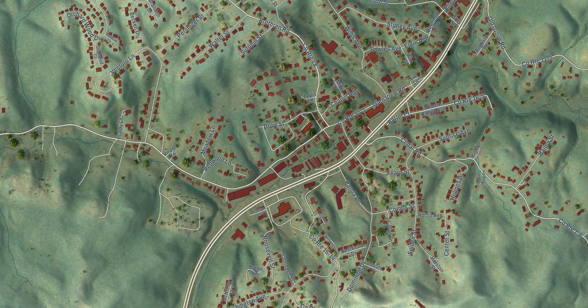
A detailed map of Crab Orchard, West Virginia, showing every building in its true location, the roads by name, and shaded topographical relief.
Read More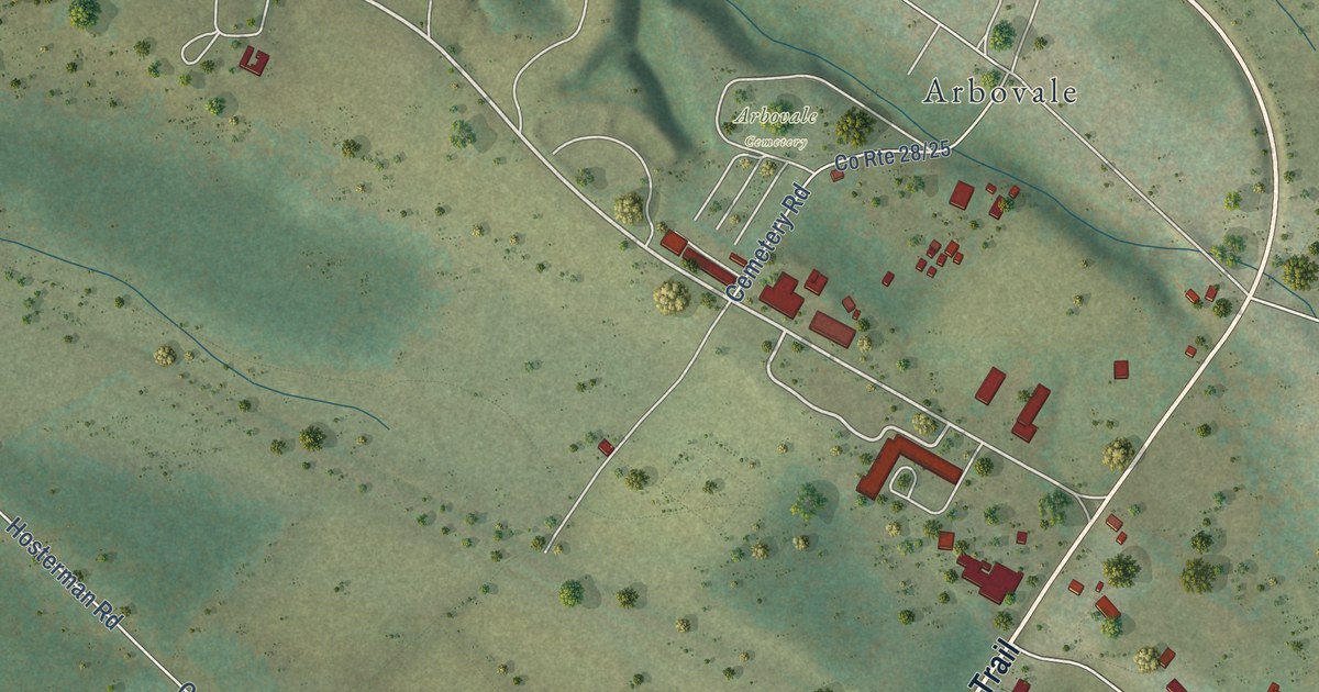
A detailed map of Green Bank, West Virginia, showing every building in its true location, the roads by name, and shaded topographical relief.
Read More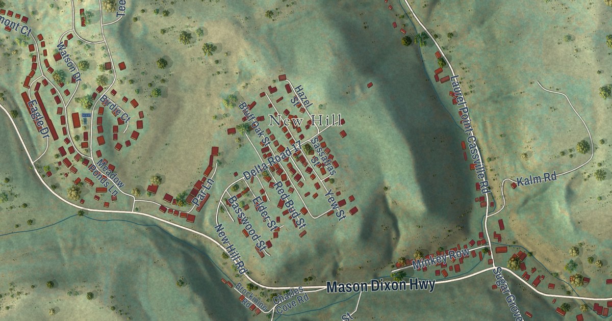
A detailed map of Cassville, West Virginia, showing every building in its true location, the roads by name, and shaded topographical relief.
Read More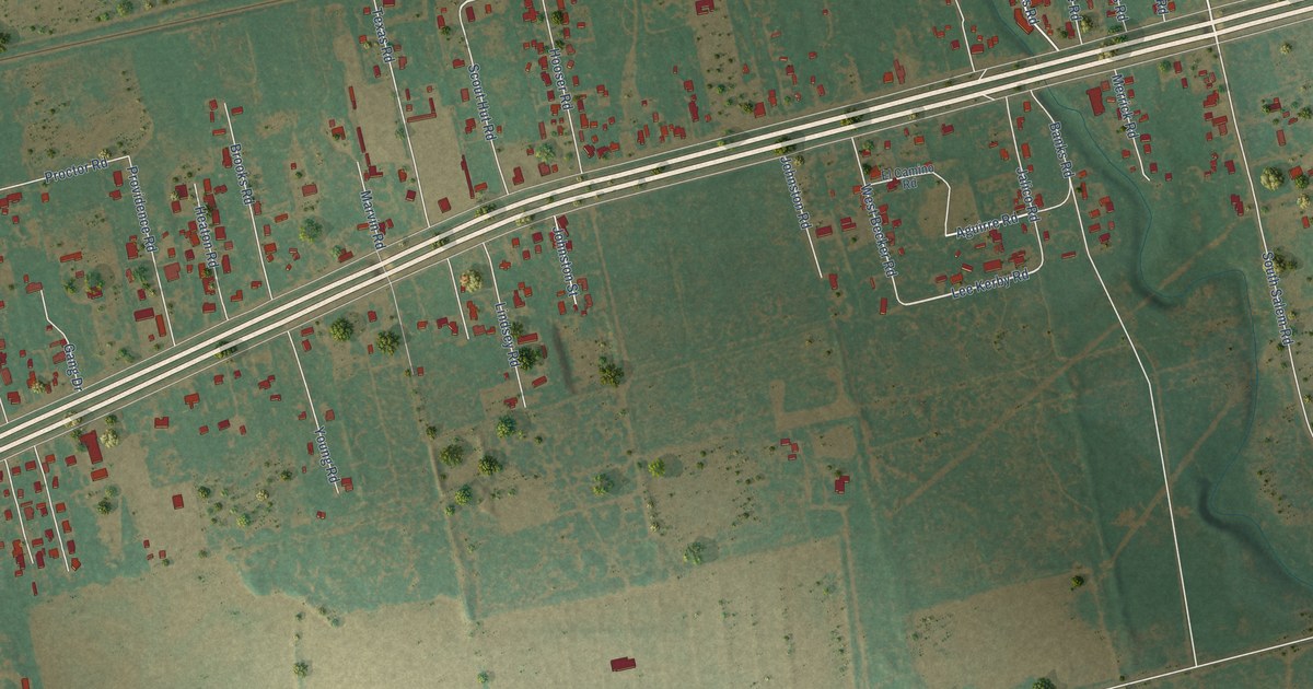
A detailed map of Sand Springs, Texas, showing every building in its true location, the roads by name, and shaded topographical relief.
Read More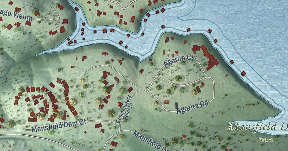
A detailed map of Hudson Bend, Texas, showing every building in its true location, the roads by name, and shaded topographical relief.
Read More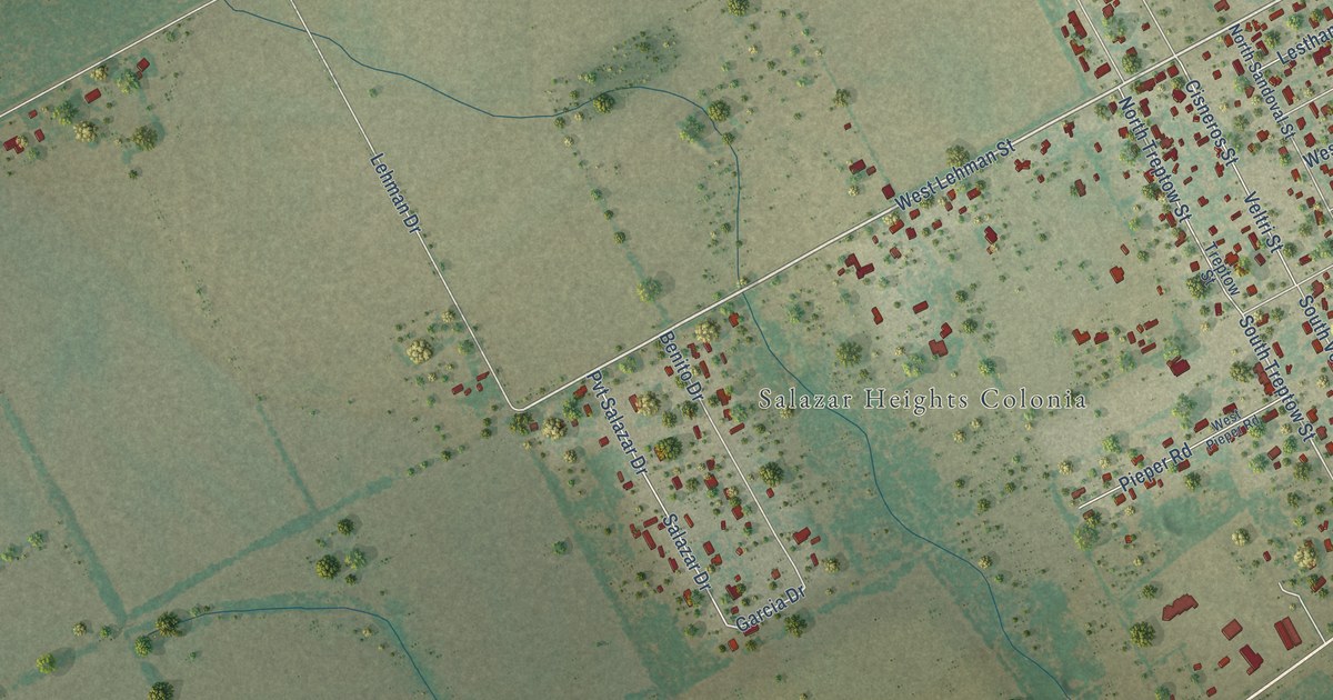
A detailed map of Blue Berry Hill, Texas, showing every building in its true location, the roads by name, and shaded topographical relief.
Read More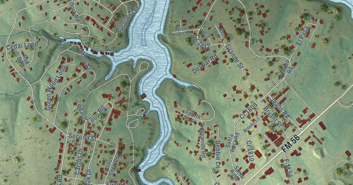
A detailed map of Laguna Park, Texas, showing every building in its true location, the roads by name, and shaded topographical relief.
Read More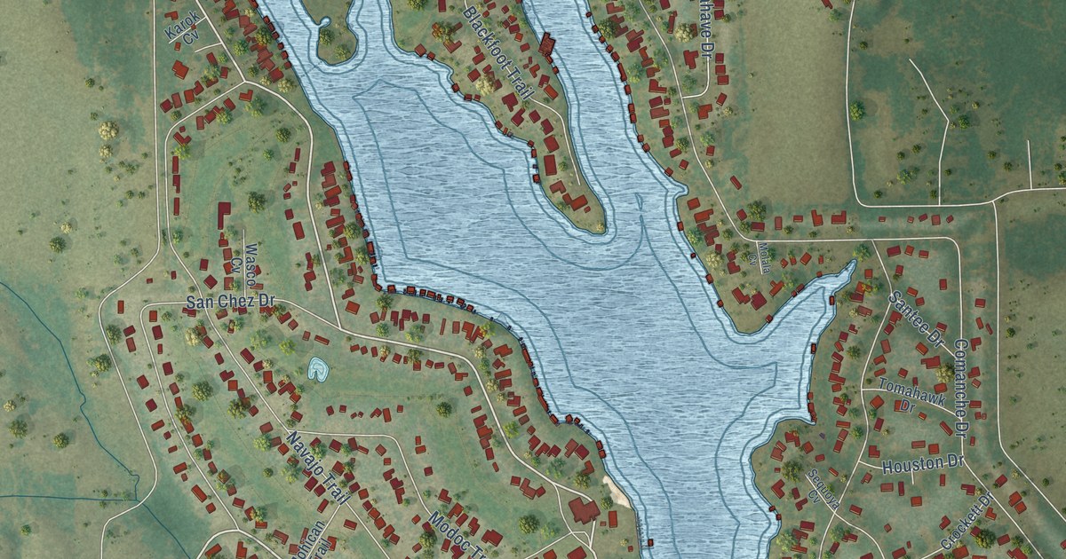
A detailed map of Lake Kiowa, Texas, showing every building in its true location, the roads by name, and shaded topographical relief.
Read More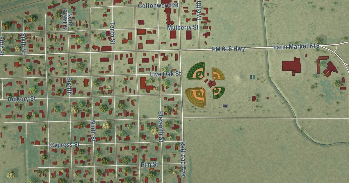
A detailed map of Blessing, Texas, showing every building in its true location, the roads by name, and shaded topographical relief.
Read More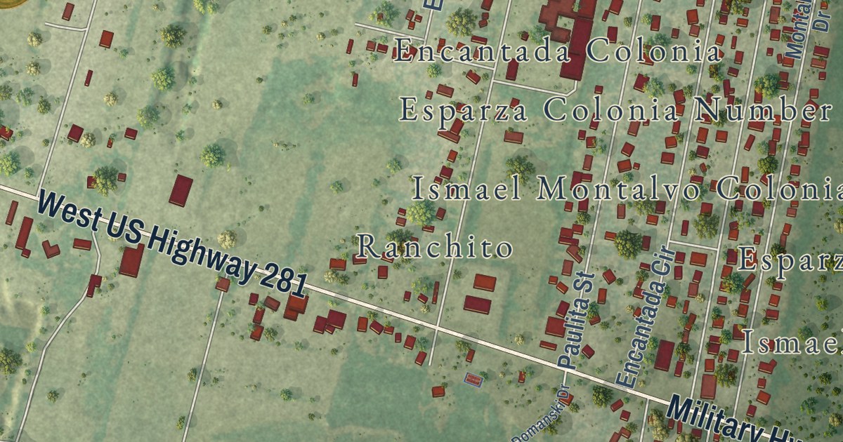
A detailed map of Encantada-Ranchito-El Calaboz, Texas, showing every building in its true location, the roads by name, and shaded topographical relief.
Read More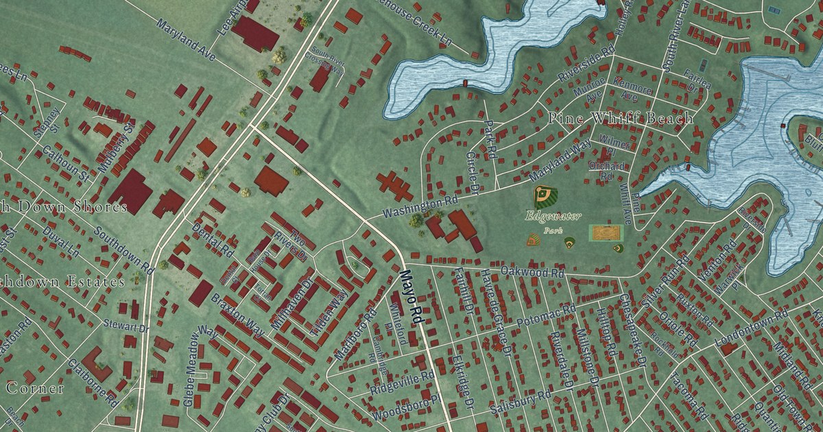
A detailed map of Edgewater, Maryland, showing every building in its true location, the roads by name, and shaded topographical relief.
Read More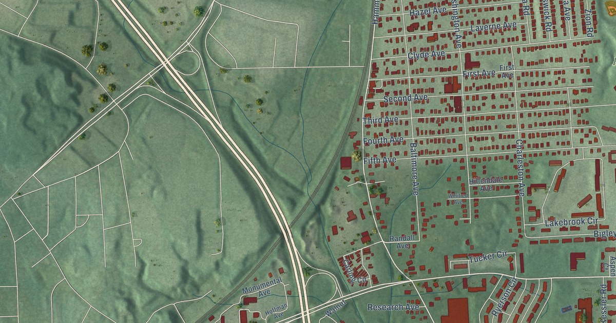
A detailed map of Lansdowne, Maryland, showing every building in its true location, the roads by name, and shaded topographical relief.
Read More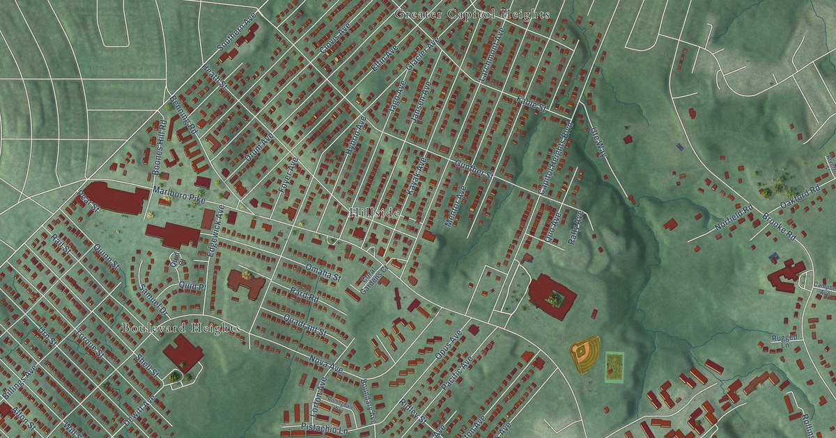
A detailed map of Coral Hills, Maryland, showing every building in its true location, the roads by name, and shaded topographical relief.
Read More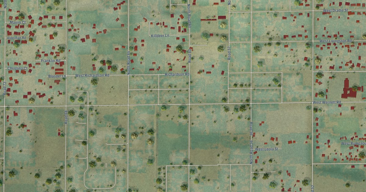
A detailed map of West Pasco, Washington, showing every building in its true location, the roads by name, and shaded topographical relief.
Read More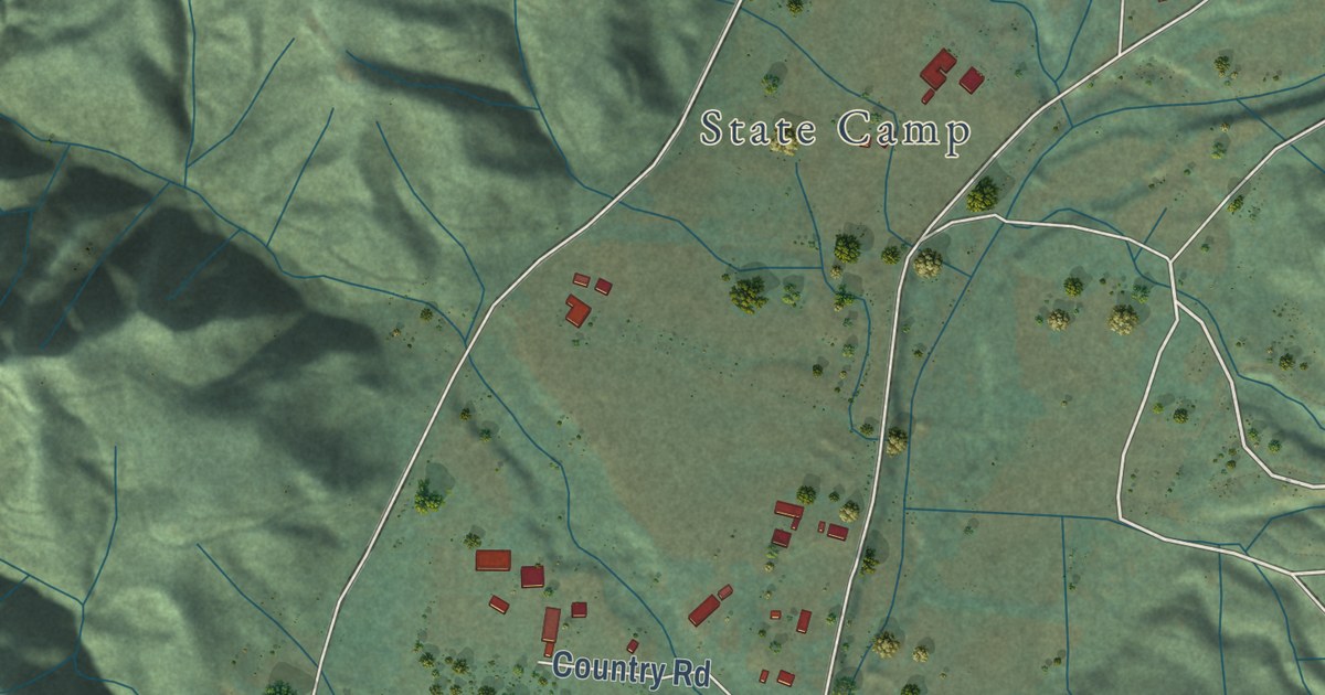
A detailed map of Upper Elochoman, Washington, showing every building in its true location, the roads by name, and shaded topographical relief.
Read More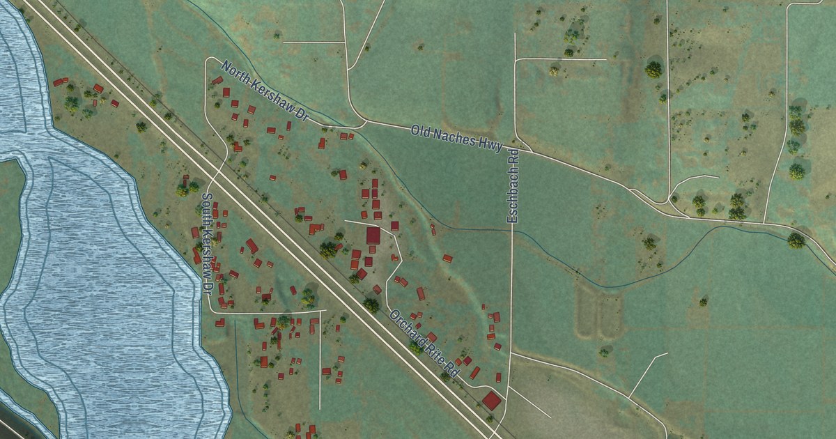
A detailed map of Eschbach, Washington, showing every building in its true location, the roads by name, and shaded topographical relief.
Read More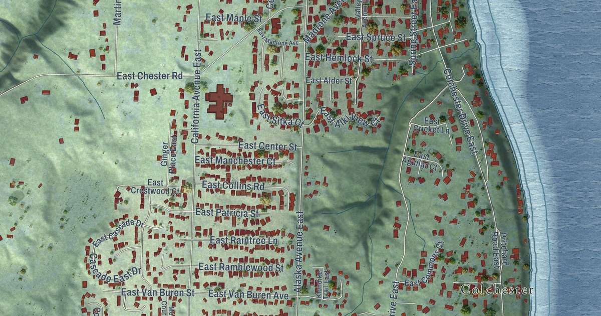
A detailed map of Manchester, Washington, showing every building in its true location, the roads by name, and shaded topographical relief.
Read More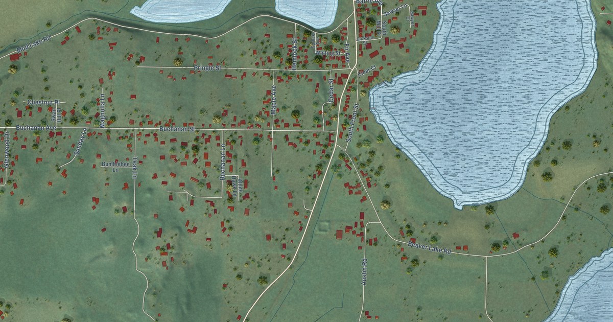
A detailed map of Clear Lake, Washington, showing every building in its true location, the roads by name, and shaded topographical relief.
Read More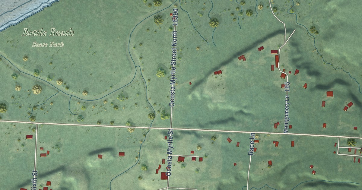
A detailed map of Ocosta, Washington, showing every building in its true location, the roads by name, and shaded topographical relief.
Read More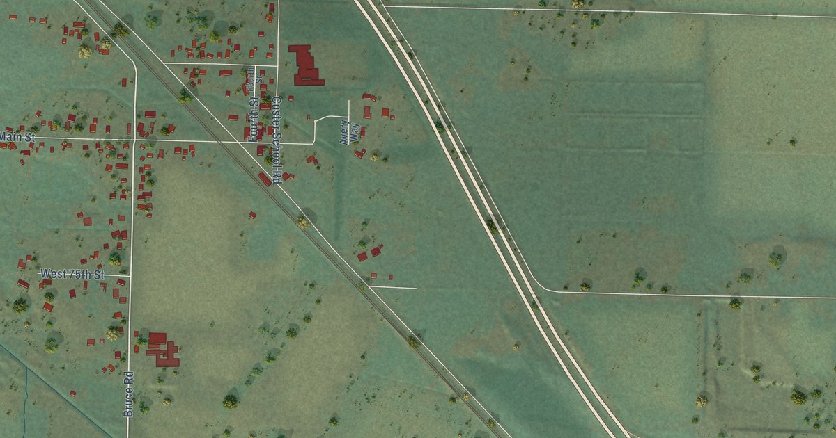
A detailed map of Custer, Washington, showing every building in its true location, the roads by name, and shaded topographical relief.
Read More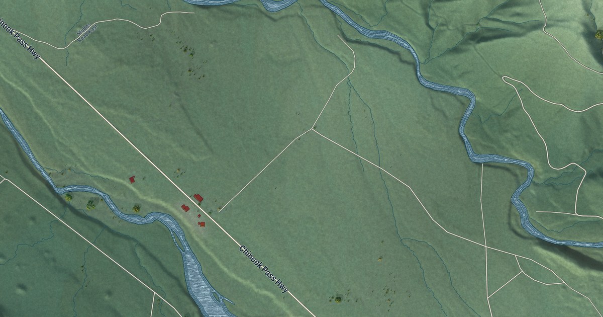
A detailed map of Greenwater, Washington, showing every building in its true location, the roads by name, and shaded topographical relief.
Read More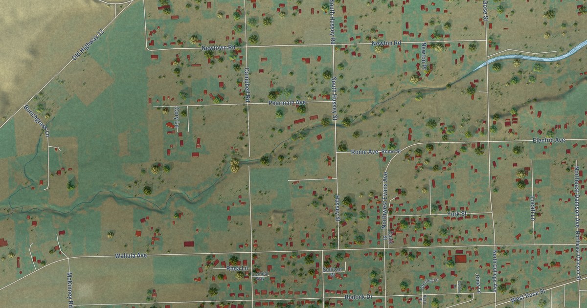
A detailed map of Garrett, Washington, showing every building in its true location, the roads by name, and shaded topographical relief.
Read More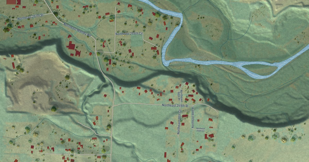
A detailed map of Cherry Grove, Washington, showing every building in its true location, the roads by name, and shaded topographical relief.
Read More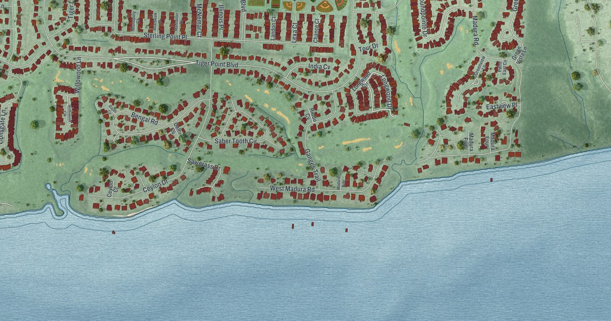
A detailed map of Tiger Point, Florida, showing every building in its true location, the roads by name, and shaded topographical relief.
Read More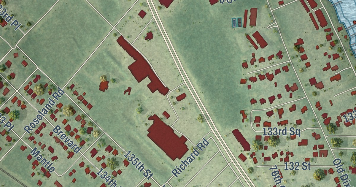
A detailed map of Roseland, Florida, showing every building in its true location, the roads by name, and shaded topographical relief.
Read More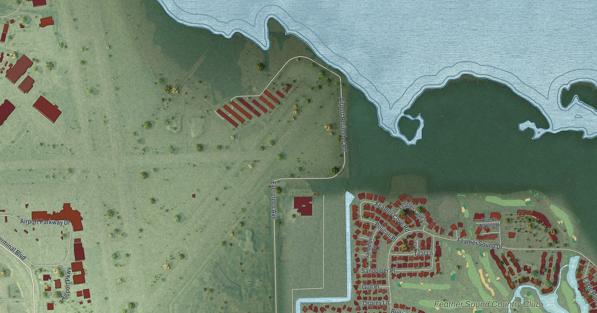
A detailed map of Feather Sound, Florida, showing every building in its true location, the roads by name, and shaded topographical relief.
Read More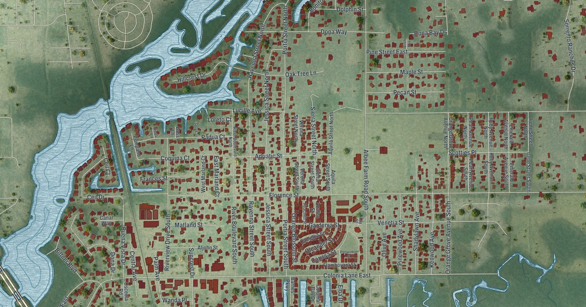
A detailed map of Nokomis, Florida, showing every building in its true location, the roads by name, and shaded topographical relief.
Read More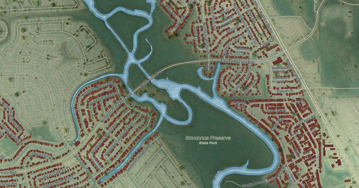
A detailed map of River Park, Florida, showing every building in its true location, the roads by name, and shaded topographical relief.
Read More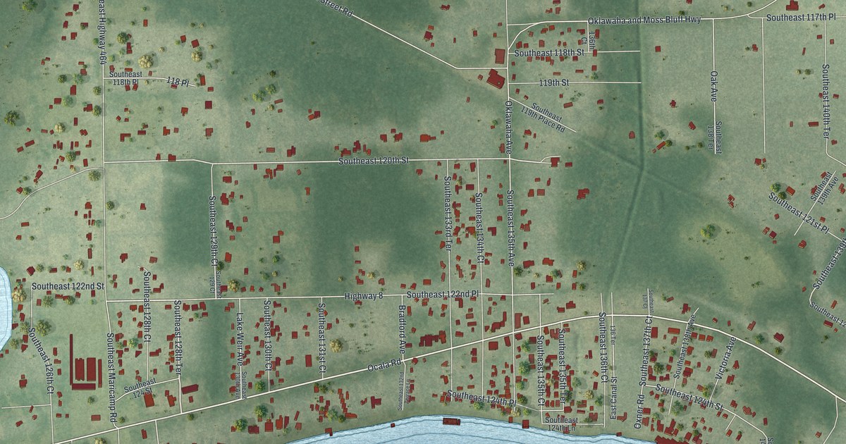
A detailed map of Ocklawaha, Florida, showing every building in its true location, the roads by name, and shaded topographical relief.
Read More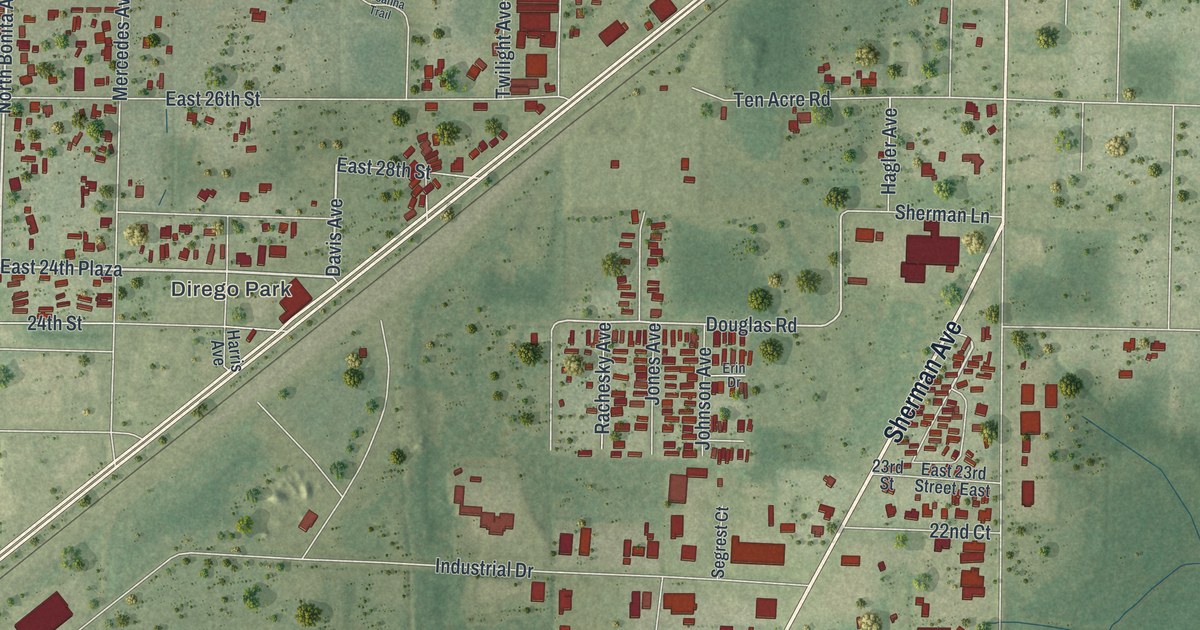
A detailed map of Cedar Grove, Florida, showing every building in its true location, the roads by name, and shaded topographical relief.
Read More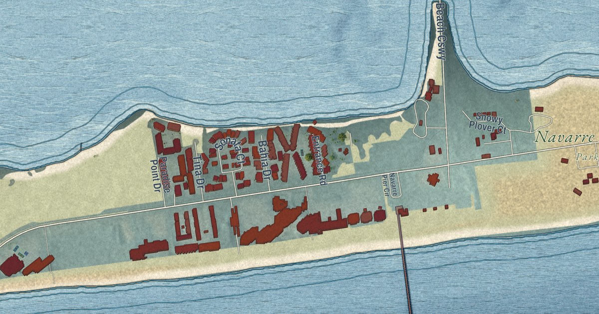
A detailed map of Navarre Beach, Florida, showing every building in its true location, the roads by name, and shaded topographical relief.
Read More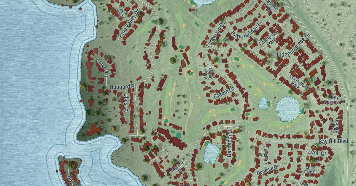
A detailed map of Bay Hill, Florida, showing every building in its true location, the roads by name, and shaded topographical relief.
Read More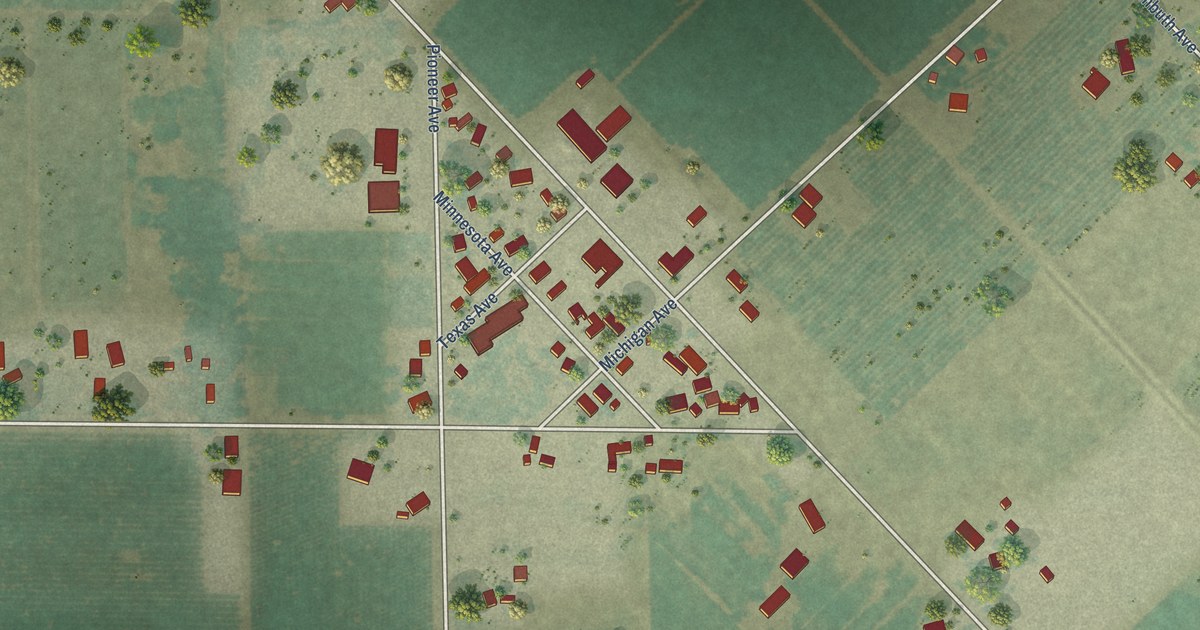
A detailed map of Valley Home, California, showing every building in its true location, the roads by name, and shaded topographical relief.
Read More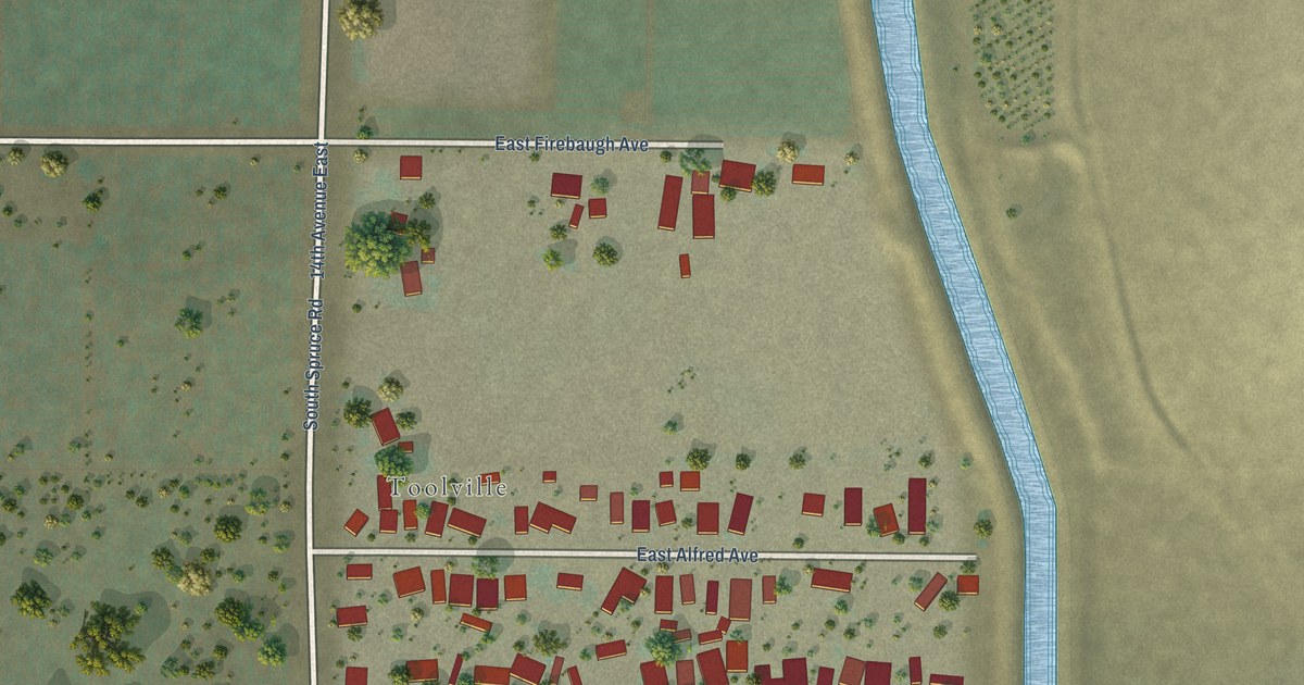
A detailed map of Tooleville, California, showing every building in its true location, the roads by name, and shaded topographical relief.
Read More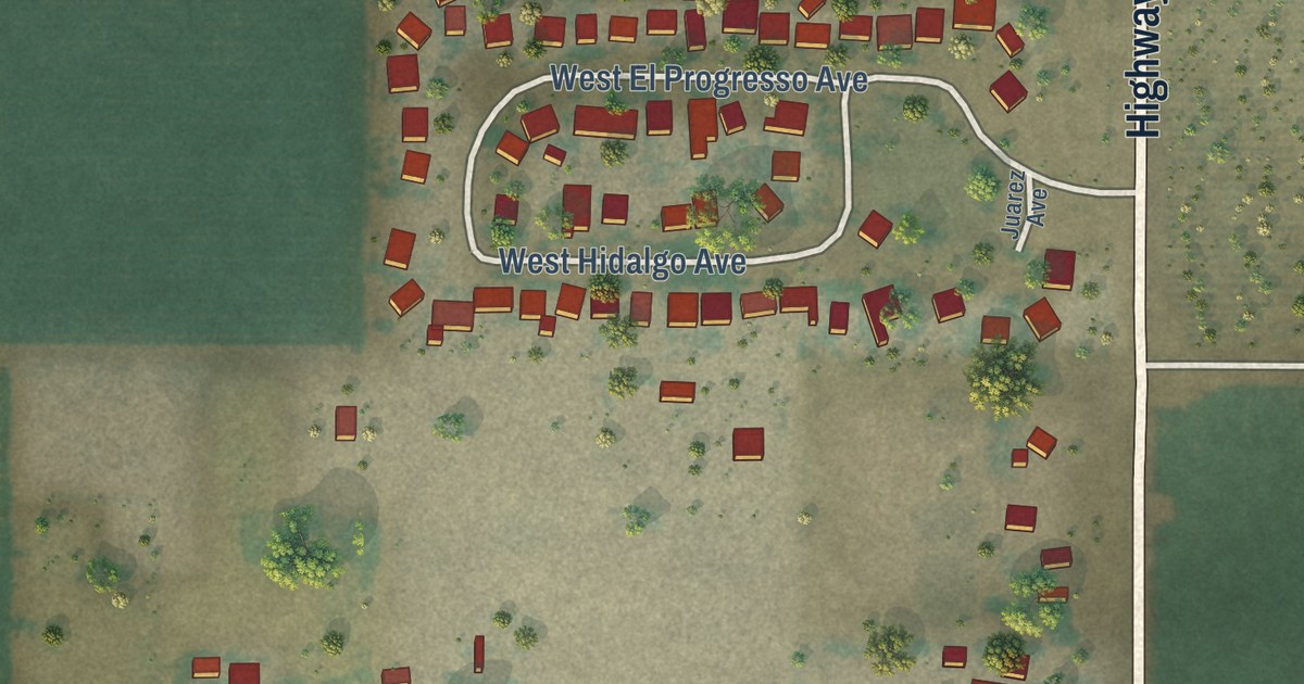
A detailed map of Three Rocks, California, showing every building in its true location, the roads by name, and shaded topographical relief.
Read More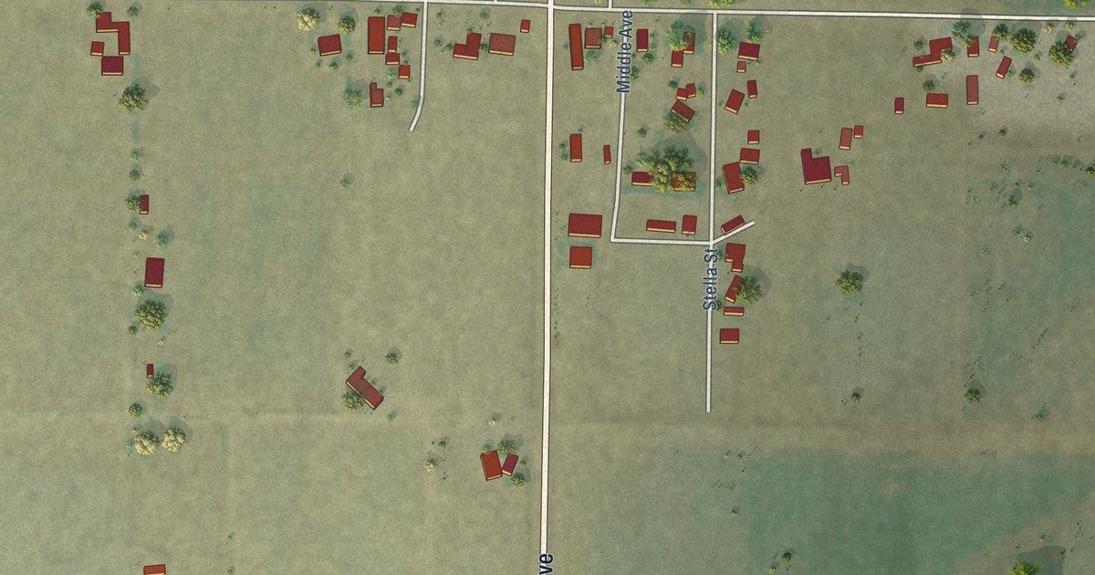
A detailed map of Stevinson, California, showing every building in its true location, the roads by name, and shaded topographical relief.
Read More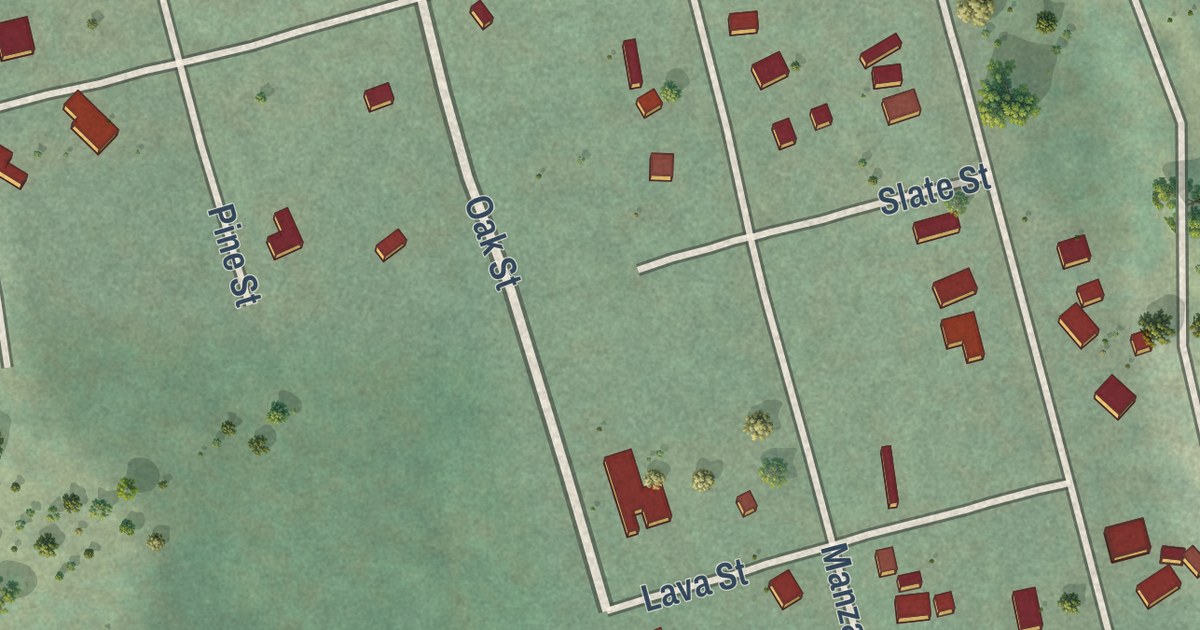
A detailed map of Stirling City, California, showing every building in its true location, the roads by name, and shaded topographical relief.
Read More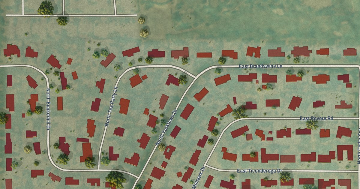
A detailed map of Fort Washington, California, showing every building in its true location, the roads by name, and shaded topographical relief.
Read More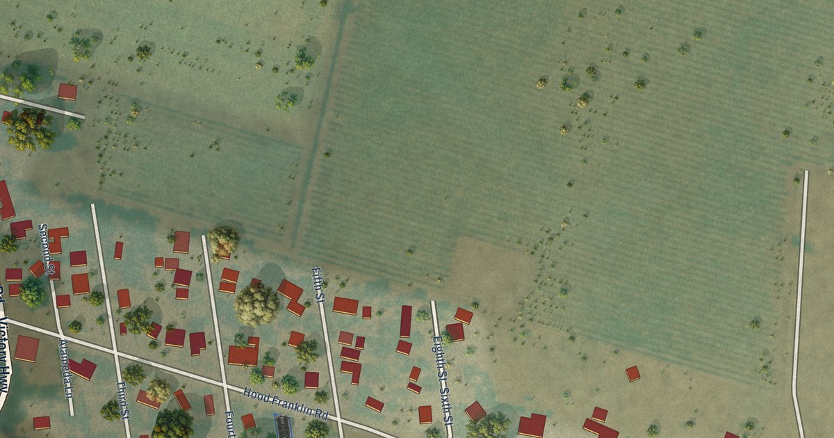
A detailed map of Hood, California, showing every building in its true location, the roads by name, and shaded topographical relief.
Read More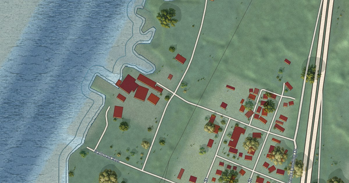
A detailed map of Fields Landing, California, showing every building in its true location, the roads by name, and shaded topographical relief.
Read More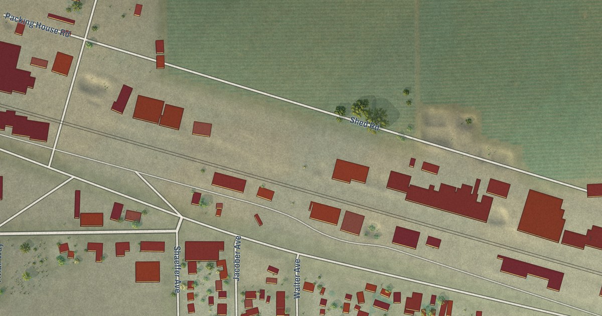
A detailed map of Edison, California, showing every building in its true location, the roads by name, and shaded topographical relief.
Read More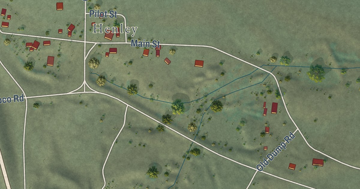
A detailed map of Hornbrook, California, showing every building in its true location, the roads by name, and shaded topographical relief.
Read More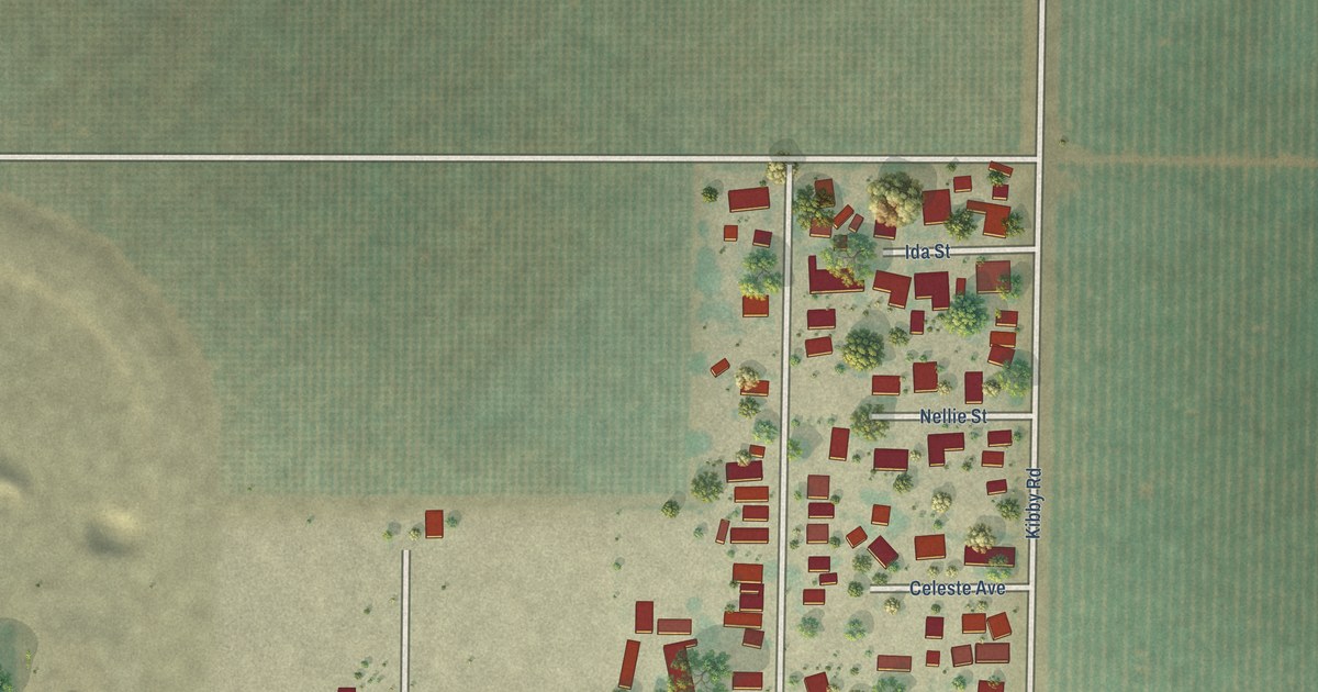
A detailed map of Bear Creek, California, showing every building in its true location, the roads by name, and shaded topographical relief.
Read More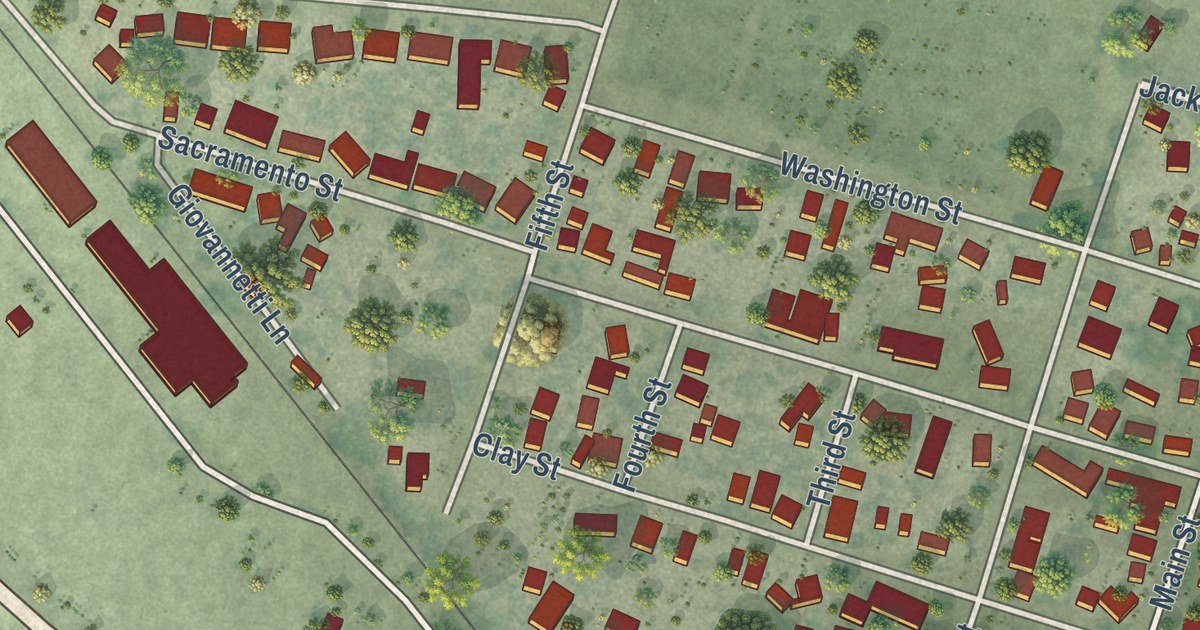
A detailed map of Yolo, California, showing every building in its true location, the roads by name, and shaded topographical relief.
Read More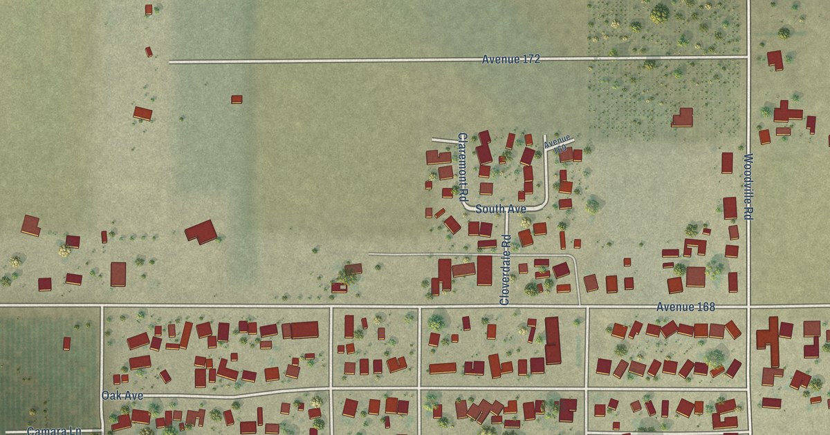
A detailed map of Woodville, California, showing every building in its true location, the roads by name, and shaded topographical relief.
Read More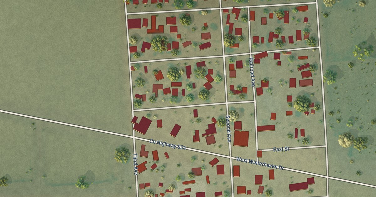
A detailed map of Winterhaven, California, showing every building in its true location, the roads by name, and shaded topographical relief.
Read More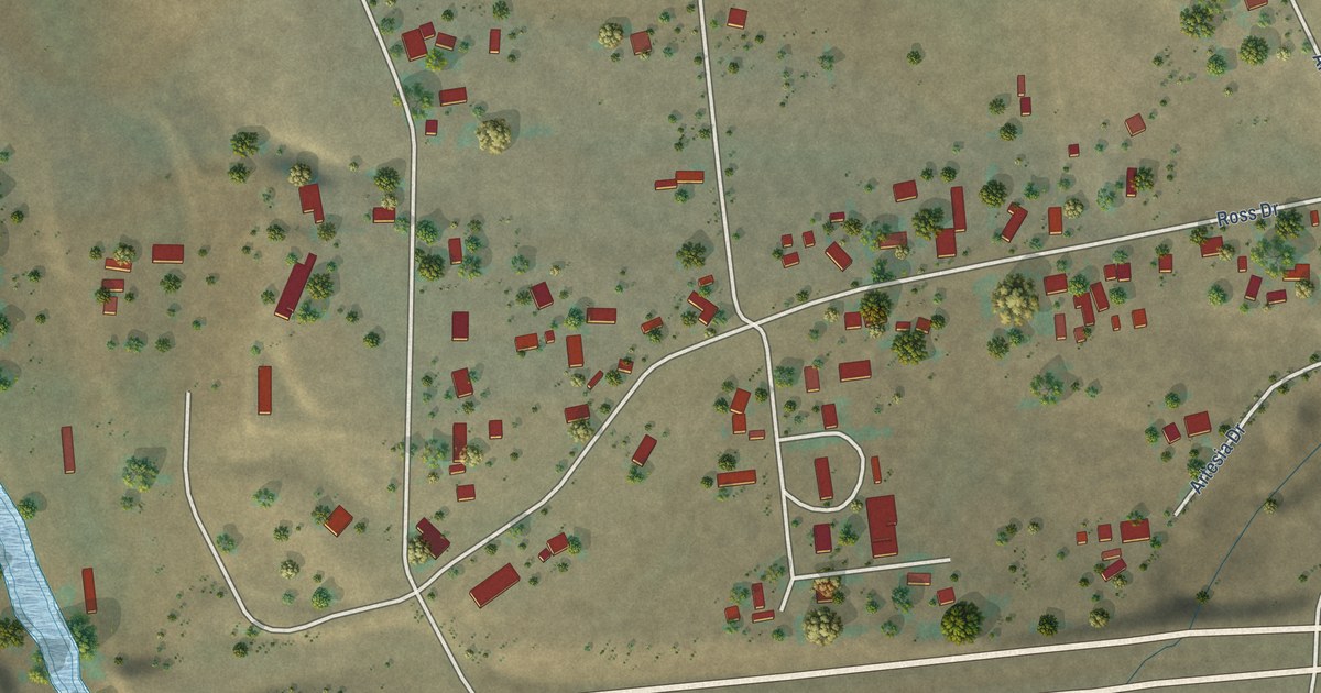
A detailed map of Whitley Gardens, California, showing every building in its true location, the roads by name, and shaded topographical relief.
Read More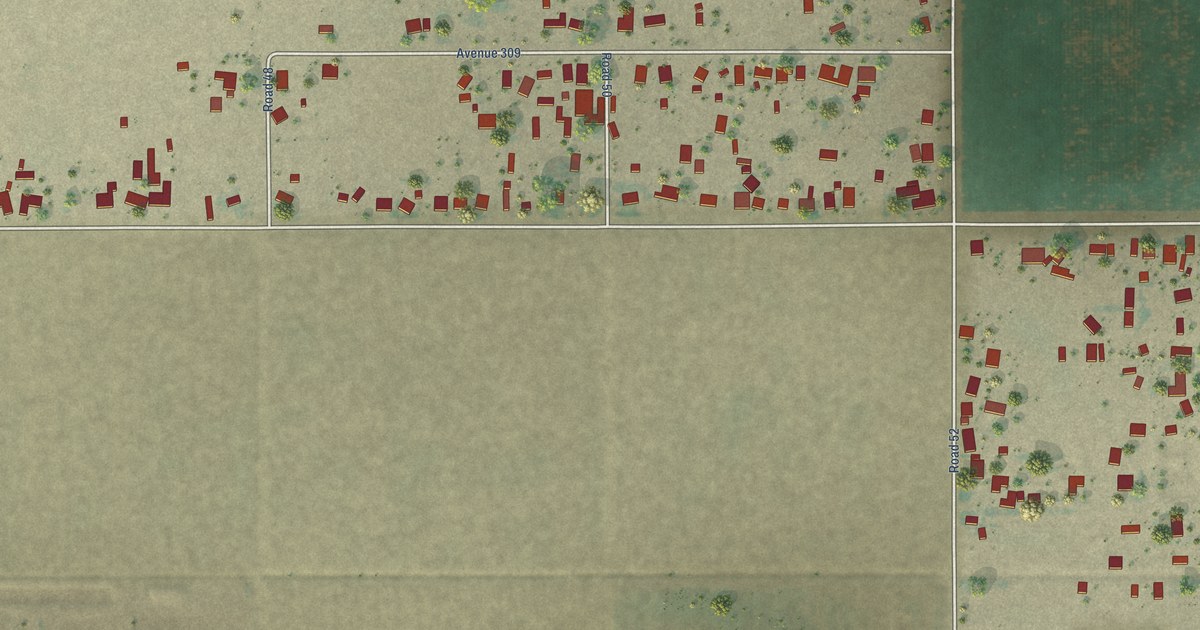
A detailed map of West Goshen, California, showing every building in its true location, the roads by name, and shaded topographical relief.
Read More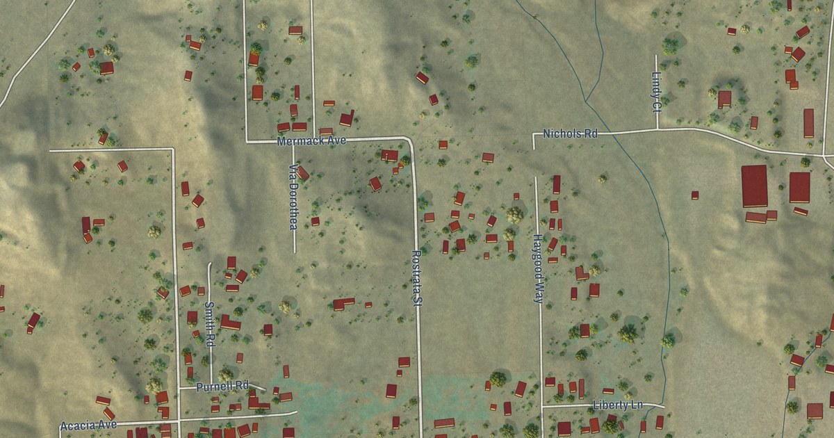
A detailed map of Warm Springs, California, showing every building in its true location, the roads by name, and shaded topographical relief.
Read More















