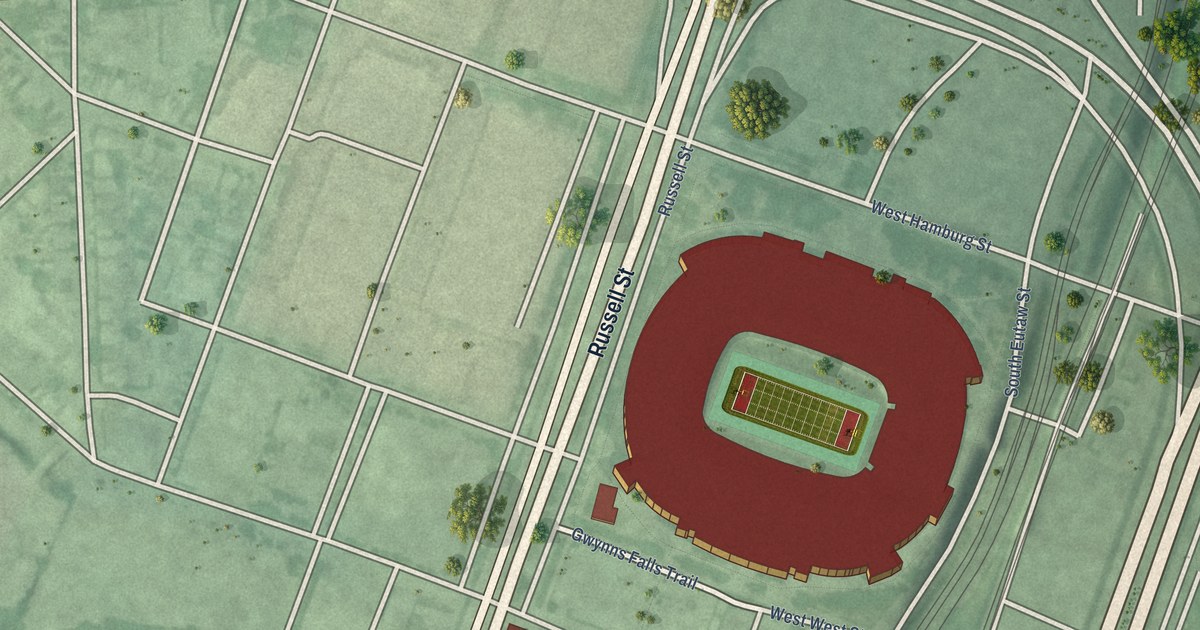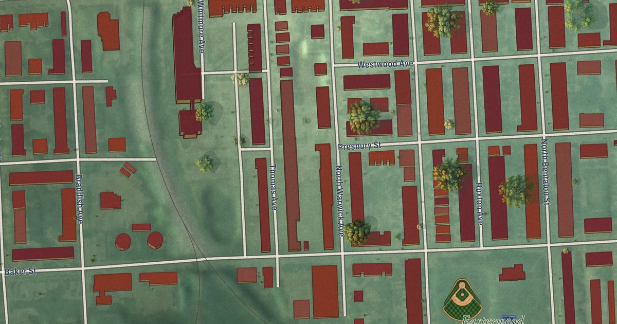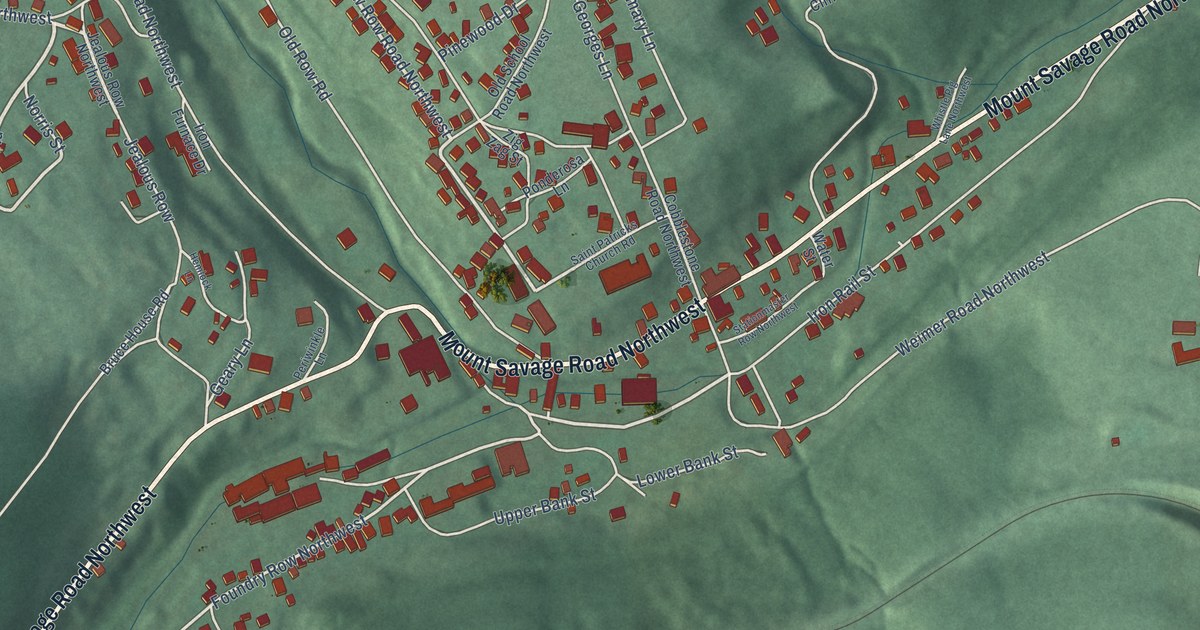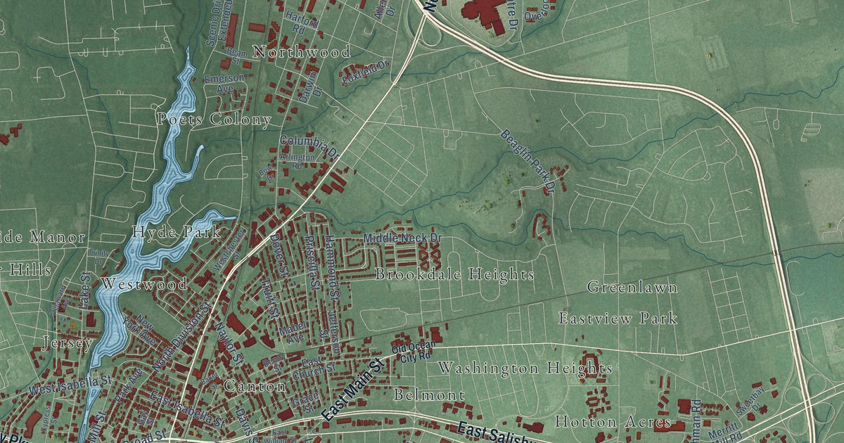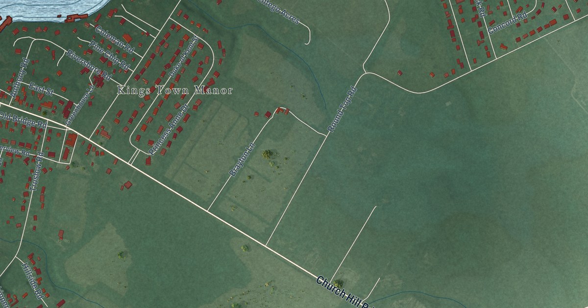
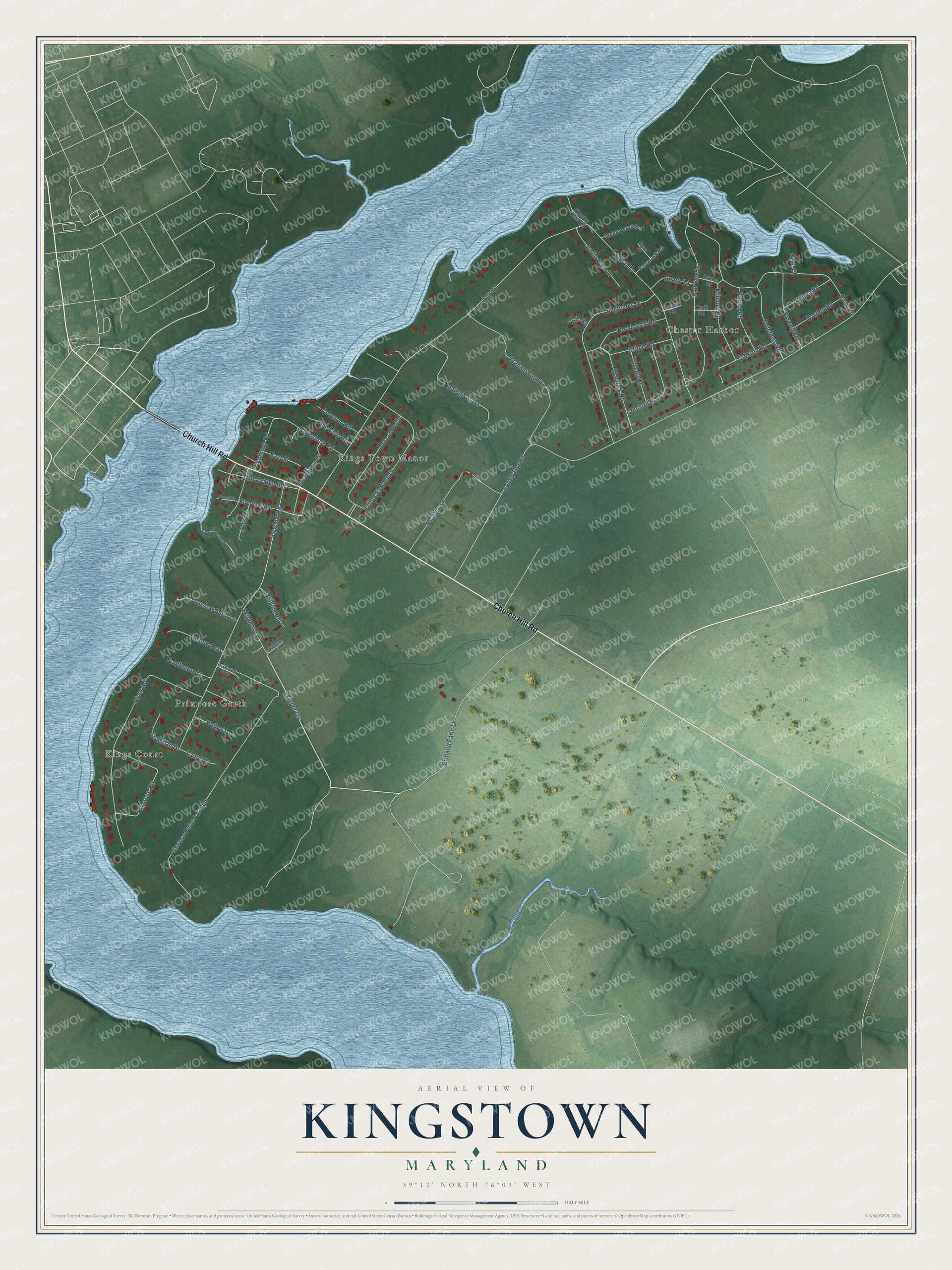
This beautifully detailed map of Kingstown, Maryland was created in 2026 using aerial imagery combined with modern topographical, census, street and landmark data. It's a modern aerial view of Kingstown in Queen Anne's County, Maryland, that combines modern data with a vintage aesthetic. The roads feature printed names, and if you look closely you can find your exact house accurately shown in its correct location.
Explore an aerial view of Kingstown, Maryland
On this map you'll find Kings Town Manor, Kings Court, Chester Harbor, Primrose Garth, Church Hill Road, Britland Farm Lane, Skipper Lane, Woodstock Road, Primrose Road, Round Top Road, Fey Road, Primrose Point Farm Lane, and more. Each red shape is a building, so zoom in on the preview and look for yours.
Kingstown is a community in Queen Anne's County. The Census Bureau counted 1,689 people here in 2020. Kingstown sits about 2 miles southeast of Chestertown, 5 miles southeast of Worton and 5 miles northwest of Church Hill. The map prints the town name in its title panel, with the coordinates below it.
Take a closer look at the Kingstown map
Names on this map
These names are printed on this map.
Places: Kings Town Manor, Kings Court, Chester Harbor and Primrose Garth.
Streets and roads: Church Hill Road, Britland Farm Lane, Skipper Lane, Woodstock Road, Primrose Road, Round Top Road, Fey Road, Primrose Point Farm Lane, Truslow Road, River Road, Rosin Drive, Central Drive.
More street names, A to Z
Anthony Road, Brayton Lane, Chester View Road, Coleman Drive, Coleman Road, Concord Road, Creston Road, Darden Road, Drake Drive, Duke of Kent Street, Dutchess Road, East Street, Edmore Road, Essex Road, Fairview Drive, Farwell Road, Garland Avenue, Graham Farm Lane, Green Heron Way, Greenhouse Lane, Heath Road, Hillside Road, Holly Court, Iris Road, Justin Buch Drive, Kauffmann Lane, Kraft Road, Laurel Court, Longfellow Drive, Lyons Lane, Nentego Acres, Old Bridge Road, Oriole Road, Parma Road, Pine Chip Road, Princess Anne Drive, Rivershore Road, Riverview Place, Riverview Road, Ryan Court, Secor Road, Skippers Court, Skippers Lane, Tamarack Road, Truslow Farm Lane, Truslow Run, Tuxedo Road, Warwick Road, Wilton Road.
See it on a wall
The Kingstown map as a framed print. Swipe for more.


Created by KNOWOL in 2026. The buildings are small red shapes, the roads carry their printed names, and shaded relief shows the shape of the land. The title panel reads "AERIAL VIEW OF KINGSTOWN, MARYLAND" with 39°12' NORTH 76°03' WEST.
It suits a den, a classroom or a front hall, and it makes a gift for anyone with Kingstown roots. Open the preview and find the block you know. See sizes and frames for the Kingstown map.