Detailed Map of Edesville, Maryland
A detailed map of Edesville, Maryland, showing every building in its true location, the roads by name, and shaded topographical relief.
Read More
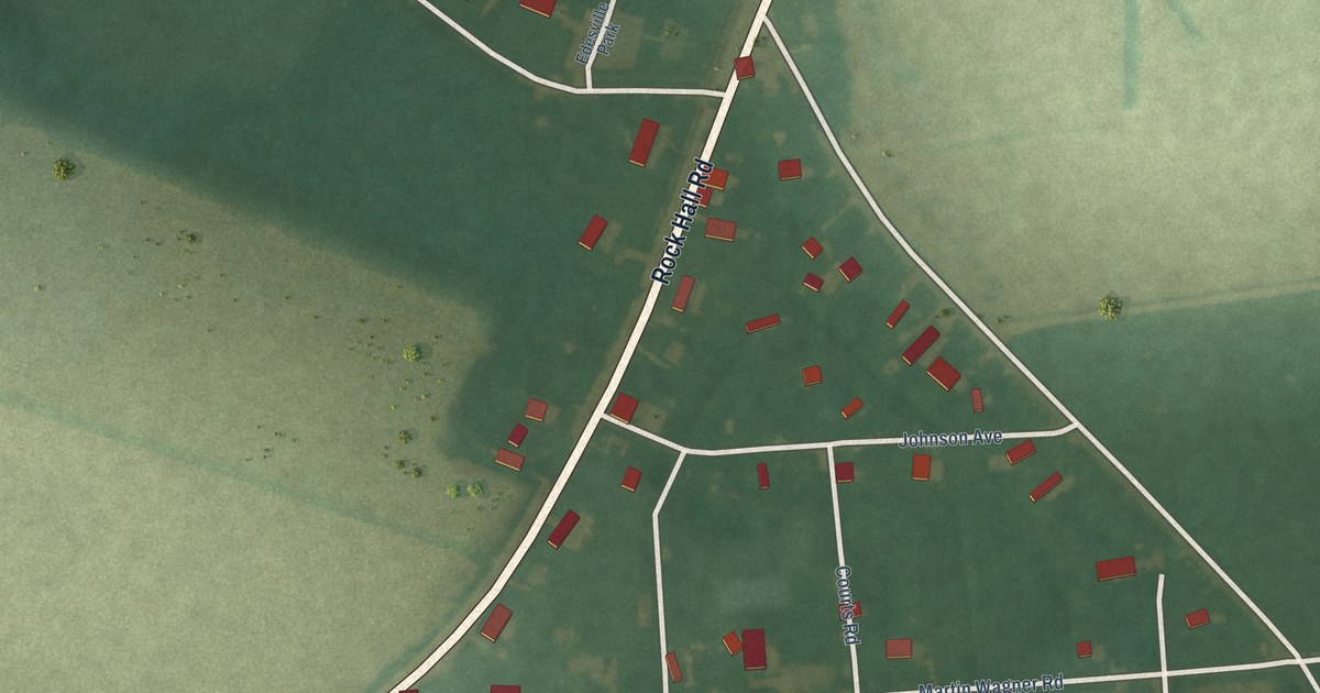
A detailed map of Edesville, Maryland, showing every building in its true location, the roads by name, and shaded topographical relief.
Read More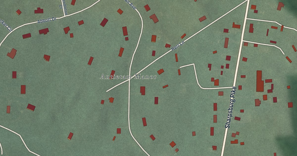
A detailed map of Tilghmanton, Maryland, showing every building in its true location, the roads by name, and shaded topographical relief.
Read More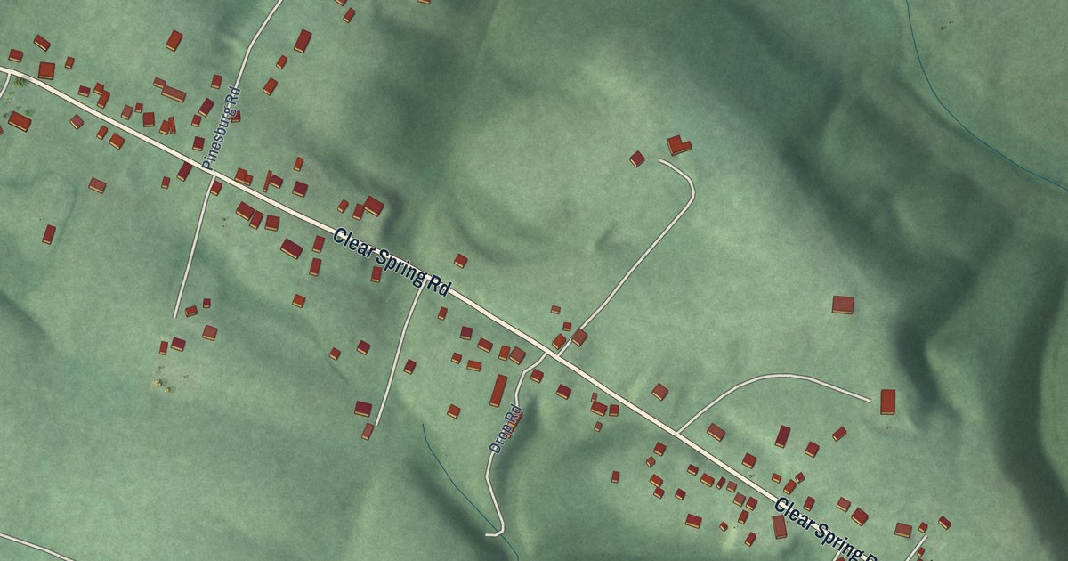
A detailed map of Pinesburg, Maryland, showing every building in its true location, the roads by name, and shaded topographical relief.
Read More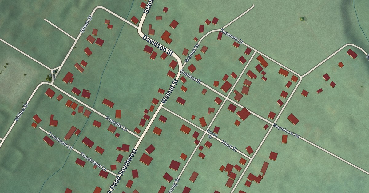
A detailed map of Grahamtown, Maryland, showing every building in its true location, the roads by name, and shaded topographical relief.
Read More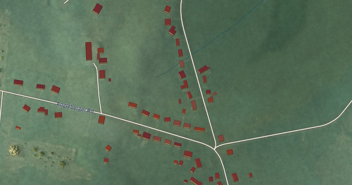
A detailed map of Lewistown, Maryland, showing every building in its true location, the roads by name, and shaded topographical relief.
Read More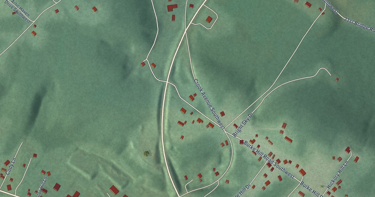
A detailed map of McCoole, Maryland, showing every building in its true location, the roads by name, and shaded topographical relief.
Read More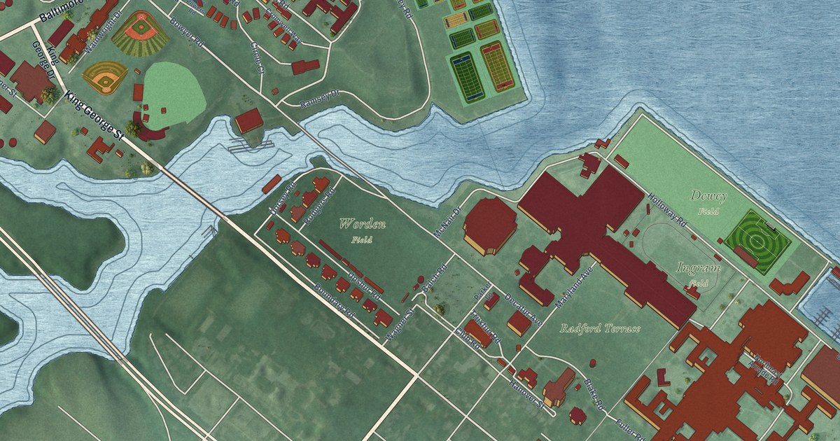
A detailed map of Naval Academy, Maryland, showing every building in its true location, the roads by name, and shaded topographical relief.
Read More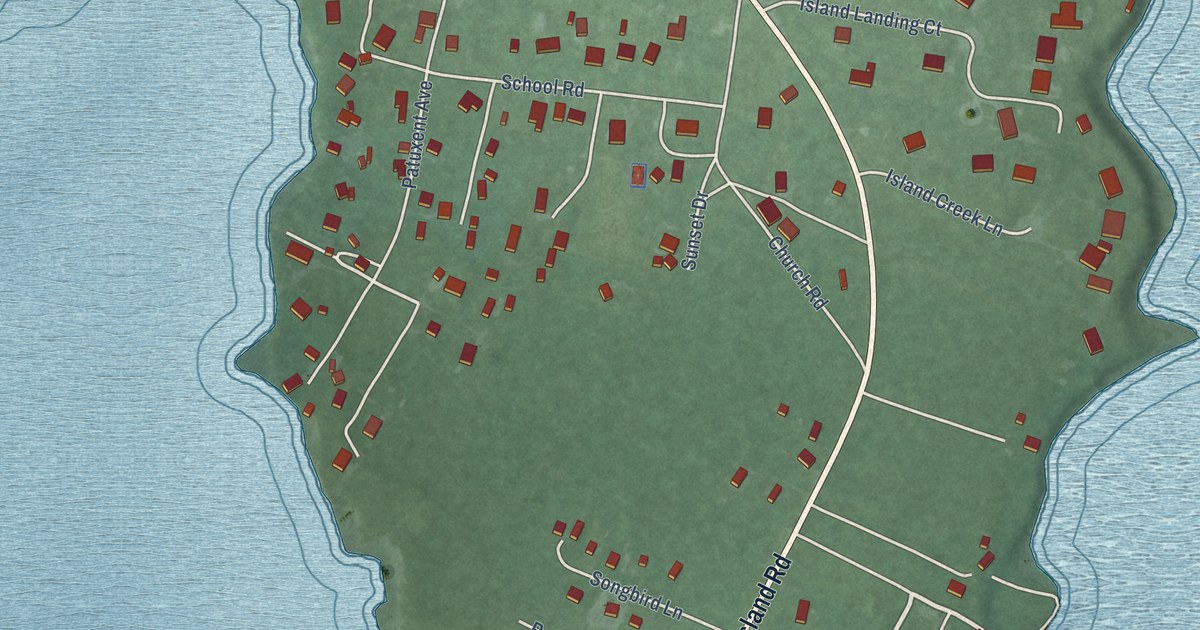
A detailed map of Broomes Island, Maryland, showing every building in its true location, the roads by name, and shaded topographical relief.
Read More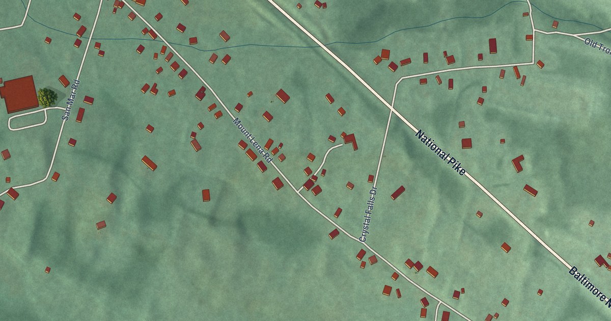
A detailed map of Mount Lena, Maryland, showing every building in its true location, the roads by name, and shaded topographical relief.
Read More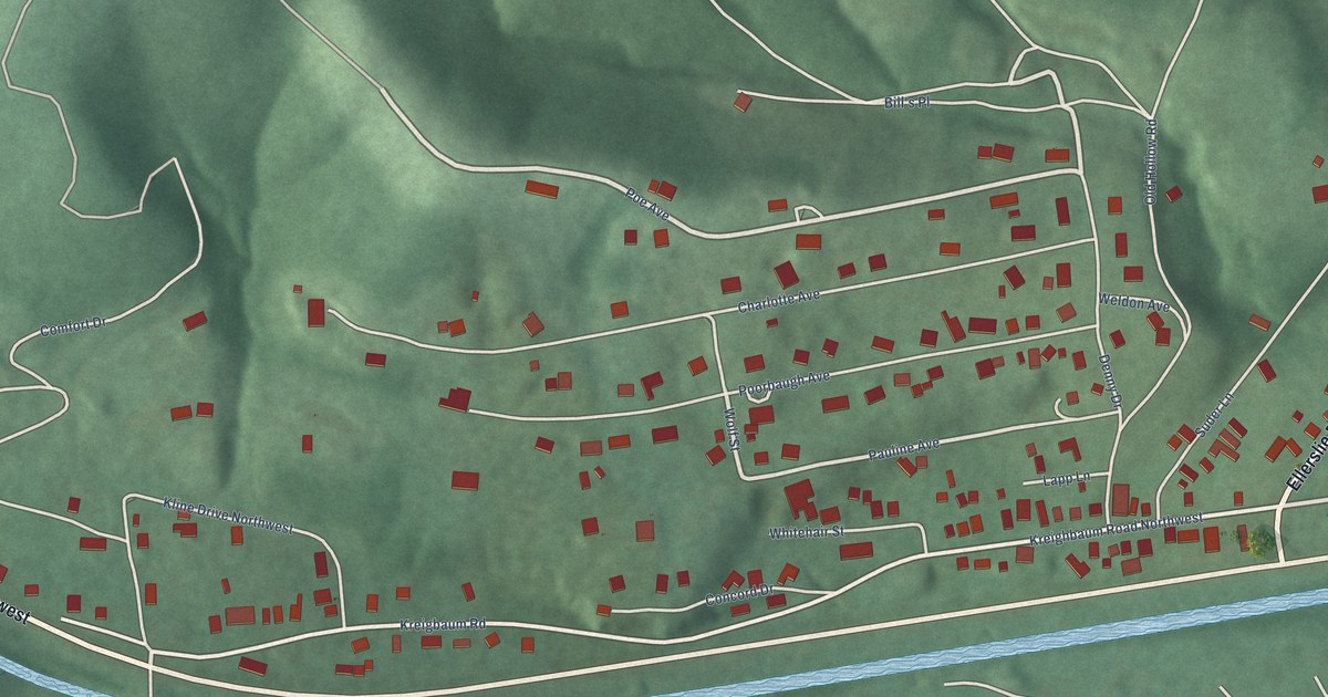
A detailed map of Corriganville, Maryland, showing every building in its true location, the roads by name, and shaded topographical relief.
Read More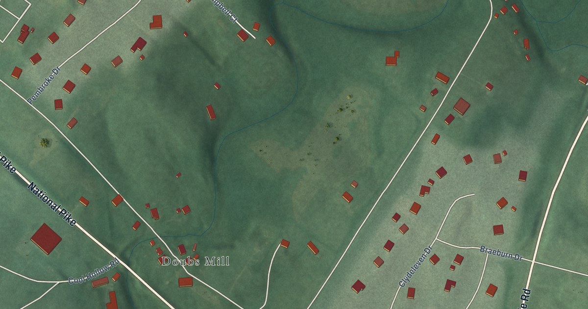
A detailed map of Beaver Creek, Maryland, showing every building in its true location, the roads by name, and shaded topographical relief.
Read More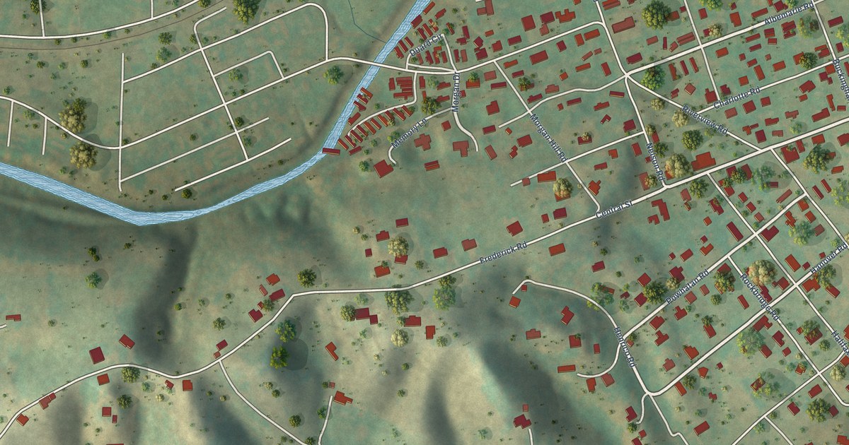
A detailed map of Riverview, Virginia, showing every building in its true location, the roads by name, and shaded topographical relief.
Read More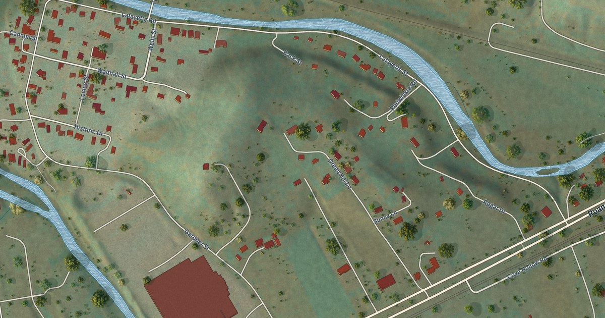
A detailed map of Lafayette, Virginia, showing every building in its true location, the roads by name, and shaded topographical relief.
Read More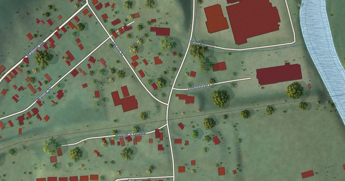
A detailed map of Mallow, Virginia, showing every building in its true location, the roads by name, and shaded topographical relief.
Read More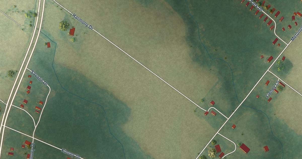
A detailed map of Metompkin, Virginia, showing every building in its true location, the roads by name, and shaded topographical relief.
Read More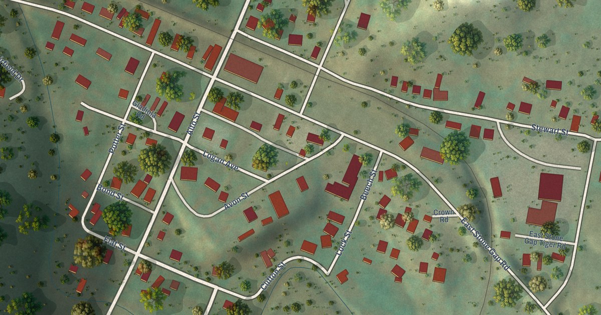
A detailed map of East Stone Gap, Virginia, showing every building in its true location, the roads by name, and shaded topographical relief.
Read More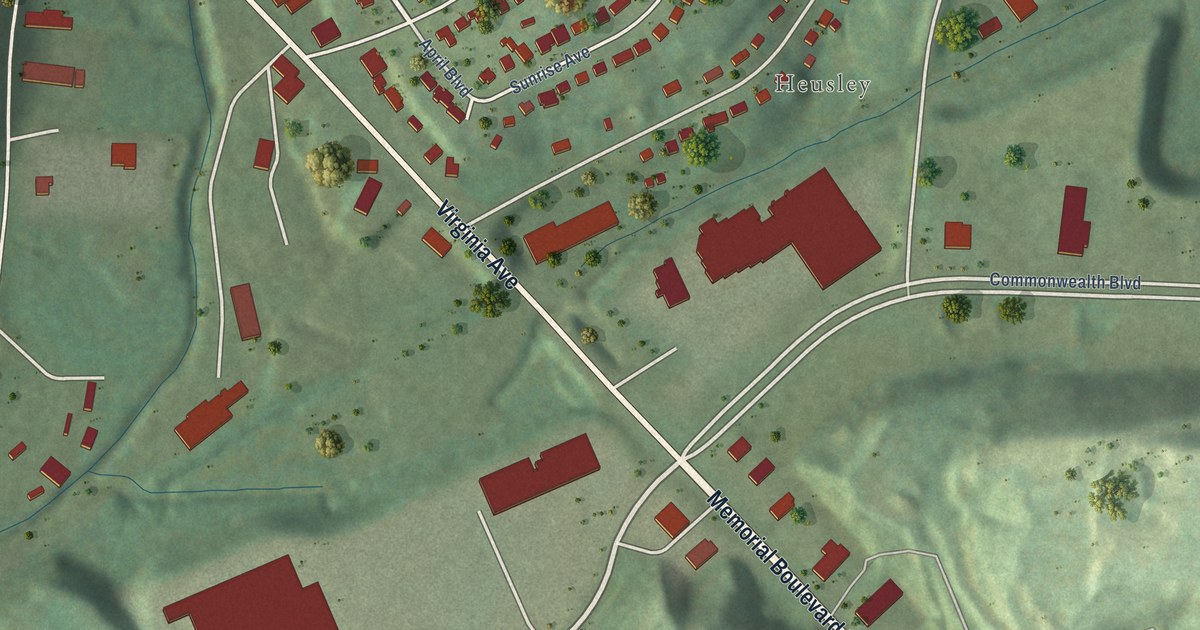
A detailed map of Villa Heights, Virginia, showing every building in its true location, the roads by name, and shaded topographical relief.
Read More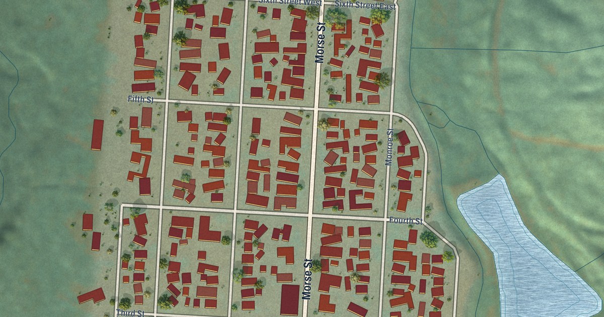
A detailed map of Ryderwood, Washington, showing every building in its true location, the roads by name, and shaded topographical relief.
Read More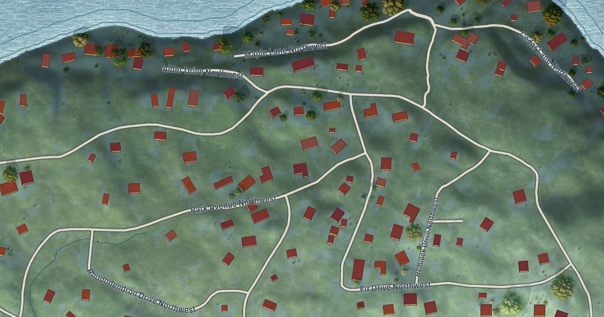
A detailed map of Raft Island, Washington, showing every building in its true location, the roads by name, and shaded topographical relief.
Read More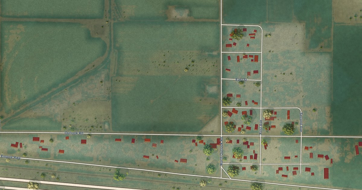
A detailed map of Outlook, Washington, showing every building in its true location, the roads by name, and shaded topographical relief.
Read More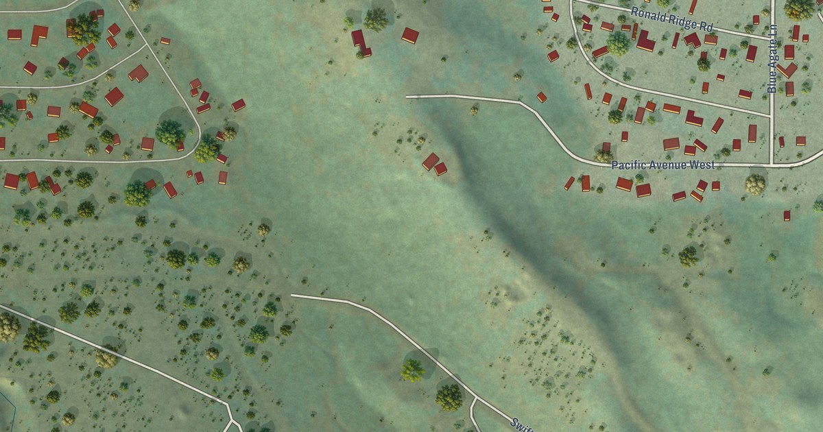
A detailed map of Ronald, Washington, showing every building in its true location, the roads by name, and shaded topographical relief.
Read More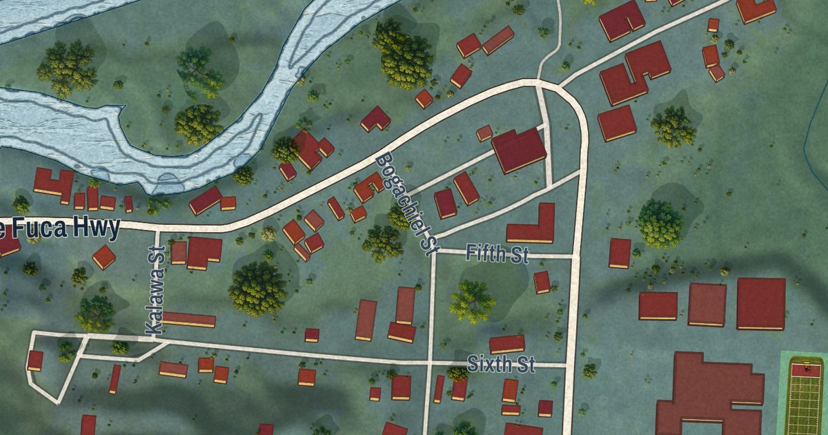
A detailed map of Clallam Bay, Washington, showing every building in its true location, the roads by name, and shaded topographical relief.
Read More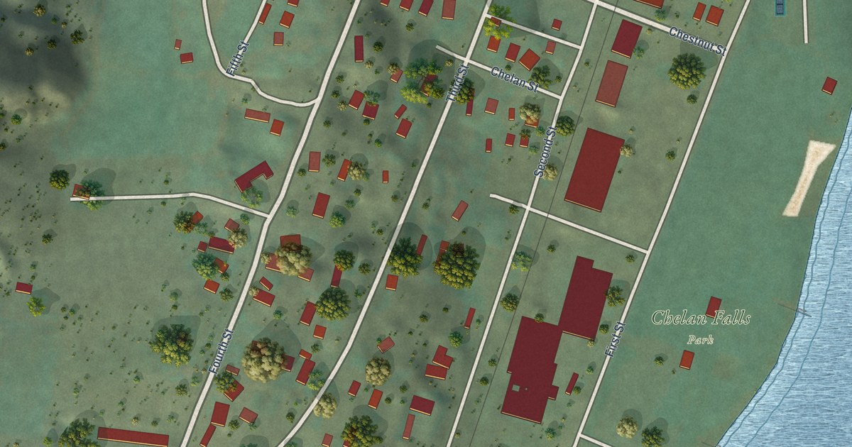
A detailed map of Chelan Falls, Washington, showing every building in its true location, the roads by name, and shaded topographical relief.
Read More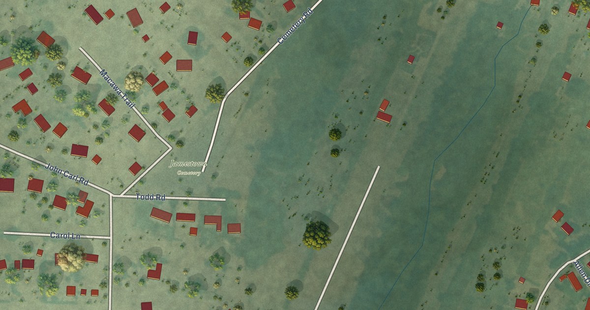
A detailed map of Jamestown, Washington, showing every building in its true location, the roads by name, and shaded topographical relief.
Read More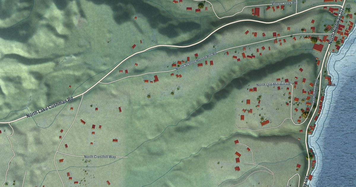
A detailed map of Hoodsport, Washington, showing every building in its true location, the roads by name, and shaded topographical relief.
Read More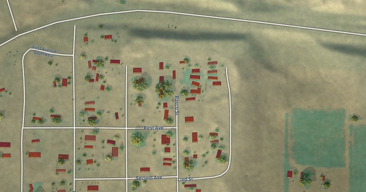
A detailed map of Beverly, Washington, showing every building in its true location, the roads by name, and shaded topographical relief.
Read More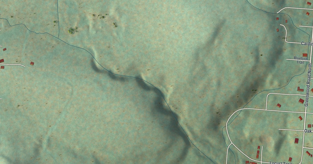
A detailed map of Wurtsboro Hills, New York, showing every building in its true location, the roads by name, and shaded topographical relief.
Read More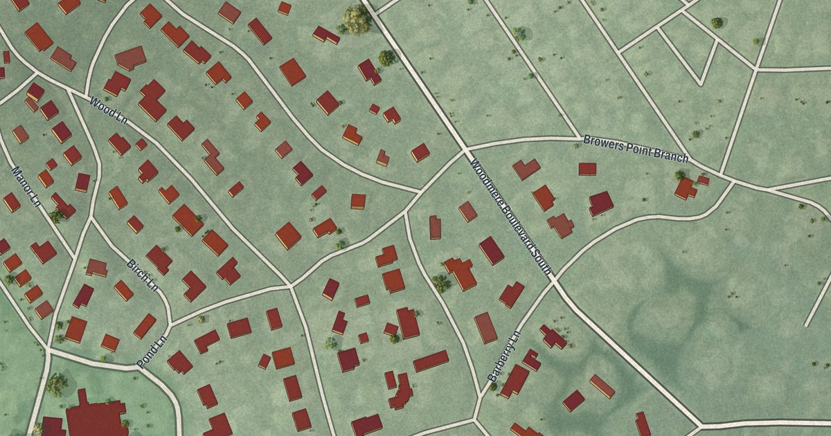
A detailed map of Woodsburgh, New York, showing every building in its true location, the roads by name, and shaded topographical relief.
Read More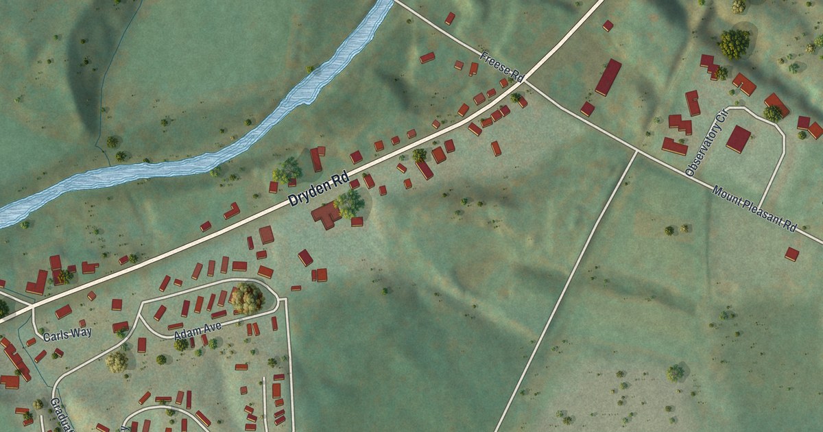
A detailed map of Varna, New York, showing every building in its true location, the roads by name, and shaded topographical relief.
Read More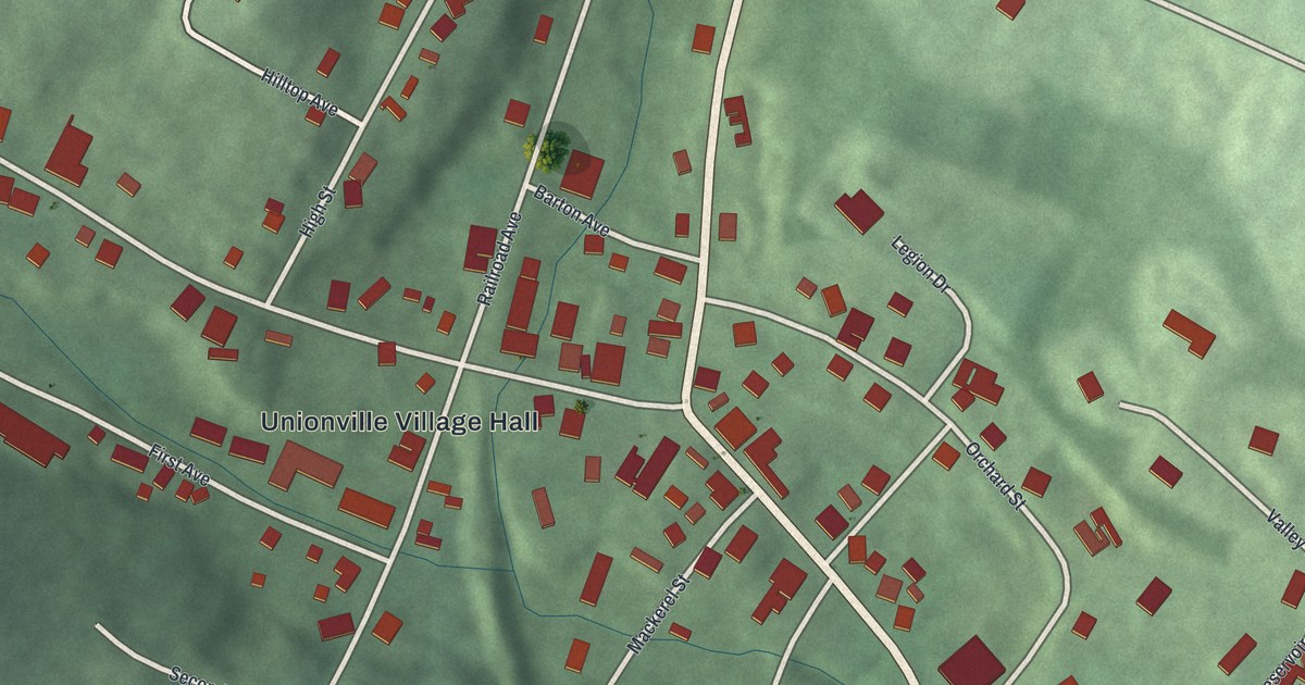
A detailed map of Unionville, New York, showing every building in its true location, the roads by name, and shaded topographical relief.
Read More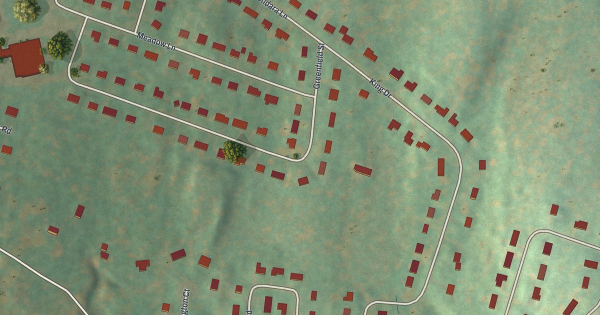
A detailed map of Titusville, New York, showing every building in its true location, the roads by name, and shaded topographical relief.
Read More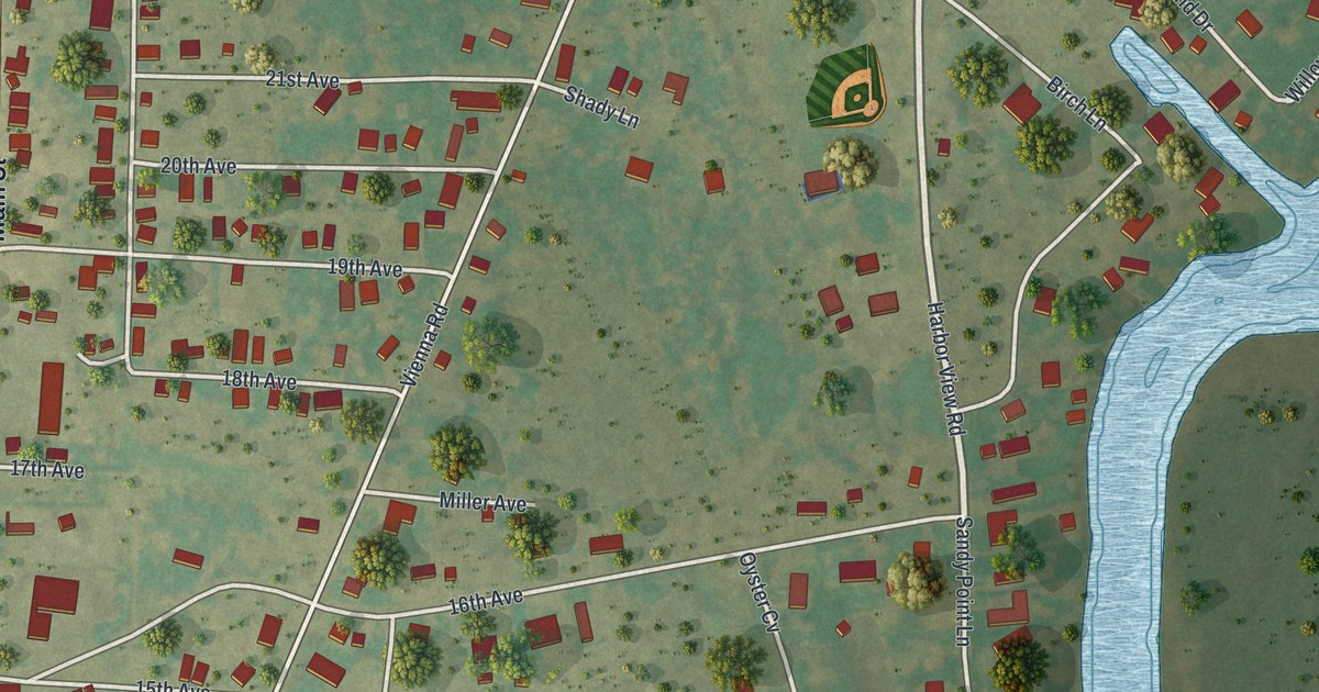
A detailed map of Sylvan Beach, New York, showing every building in its true location, the roads by name, and shaded topographical relief.
Read More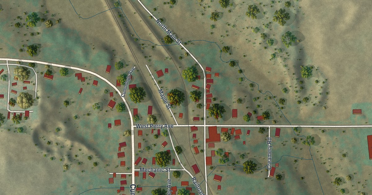
A detailed map of Silver Springs, New York, showing every building in its true location, the roads by name, and shaded topographical relief.
Read More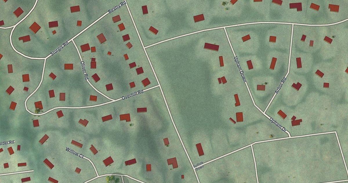
A detailed map of Shoreham, New York, showing every building in its true location, the roads by name, and shaded topographical relief.
Read More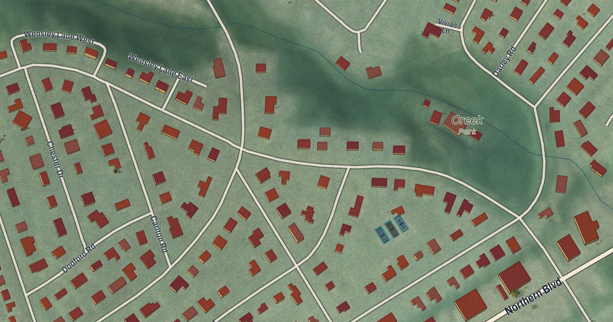
A detailed map of Russell Gardens, New York, showing every building in its true location, the roads by name, and shaded topographical relief.
Read More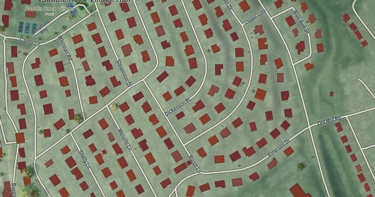
A detailed map of Saddle Rock, New York, showing every building in its true location, the roads by name, and shaded topographical relief.
Read More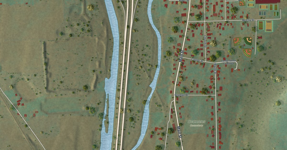
A detailed map of Savona, New York, showing every building in its true location, the roads by name, and shaded topographical relief.
Read More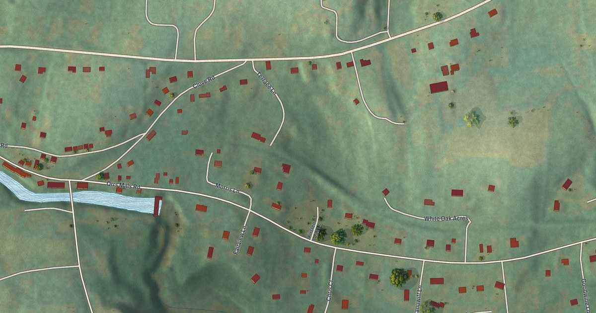
A detailed map of Salisbury Mills, New York, showing every building in its true location, the roads by name, and shaded topographical relief.
Read More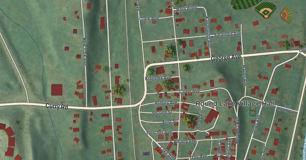
A detailed map of Round Lake, New York, showing every building in its true location, the roads by name, and shaded topographical relief.
Read More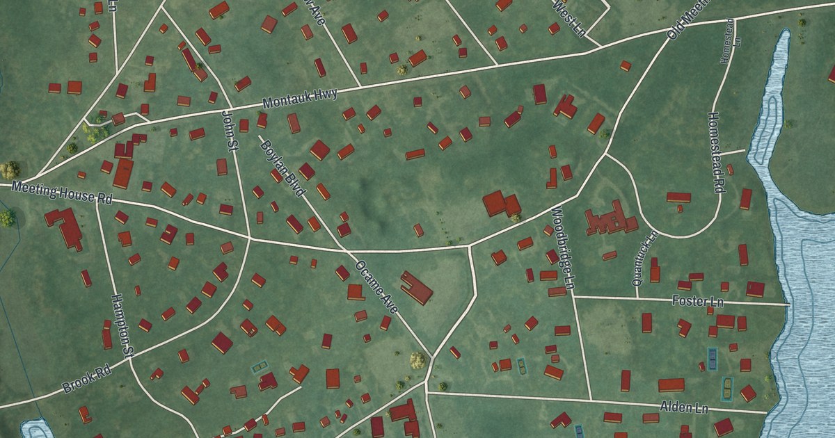
A detailed map of Quiogue, New York, showing every building in its true location, the roads by name, and shaded topographical relief.
Read More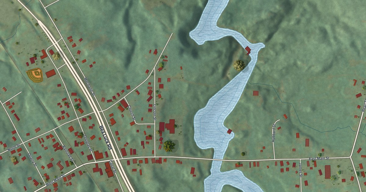
A detailed map of Port Leyden, New York, showing every building in its true location, the roads by name, and shaded topographical relief.
Read More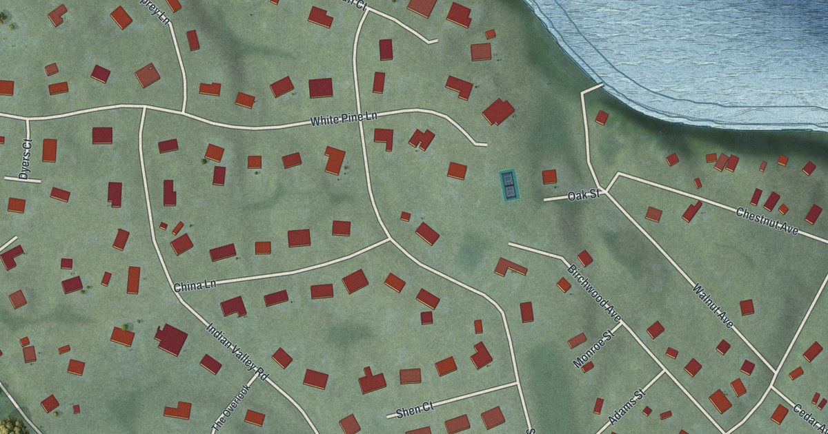
A detailed map of Poquott, New York, showing every building in its true location, the roads by name, and shaded topographical relief.
Read More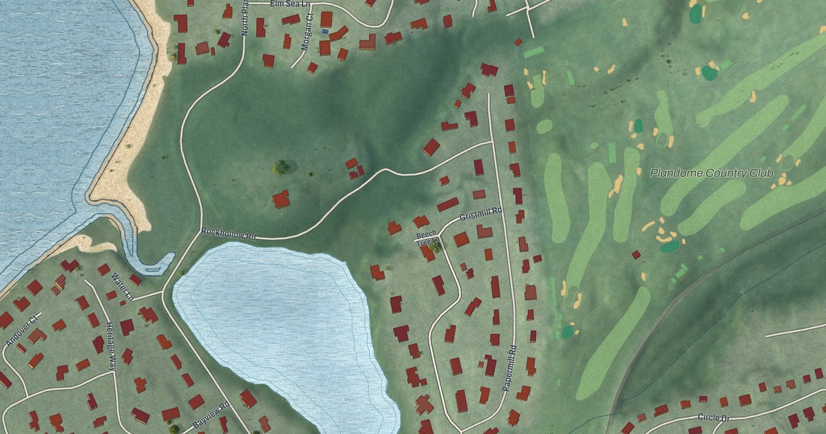
A detailed map of Plandome Manor, New York, showing every building in its true location, the roads by name, and shaded topographical relief.
Read More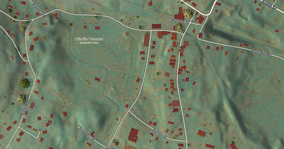
A detailed map of Otisville, New York, showing every building in its true location, the roads by name, and shaded topographical relief.
Read More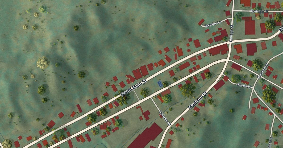
A detailed map of Oriskany Falls, New York, showing every building in its true location, the roads by name, and shaded topographical relief.
Read More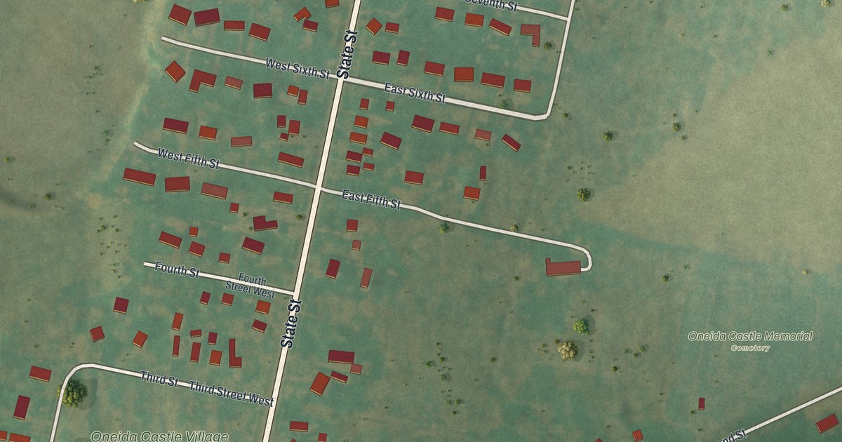
A detailed map of Oneida Castle, New York, showing every building in its true location, the roads by name, and shaded topographical relief.
Read More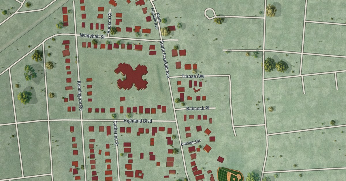
A detailed map of North Lynbrook, New York, showing every building in its true location, the roads by name, and shaded topographical relief.
Read More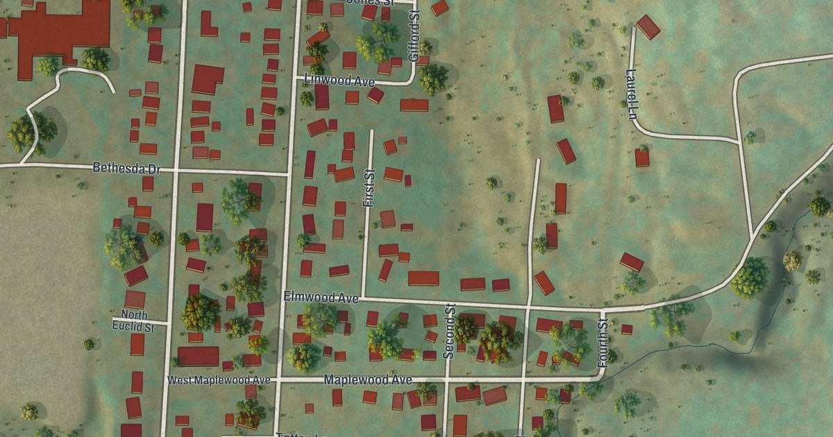
A detailed map of North Hornell, New York, showing every building in its true location, the roads by name, and shaded topographical relief.
Read More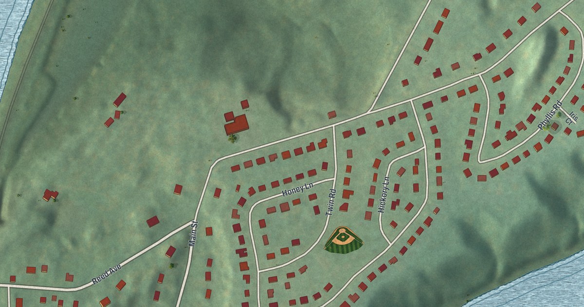
A detailed map of New Hamburg, New York, showing every building in its true location, the roads by name, and shaded topographical relief.
Read More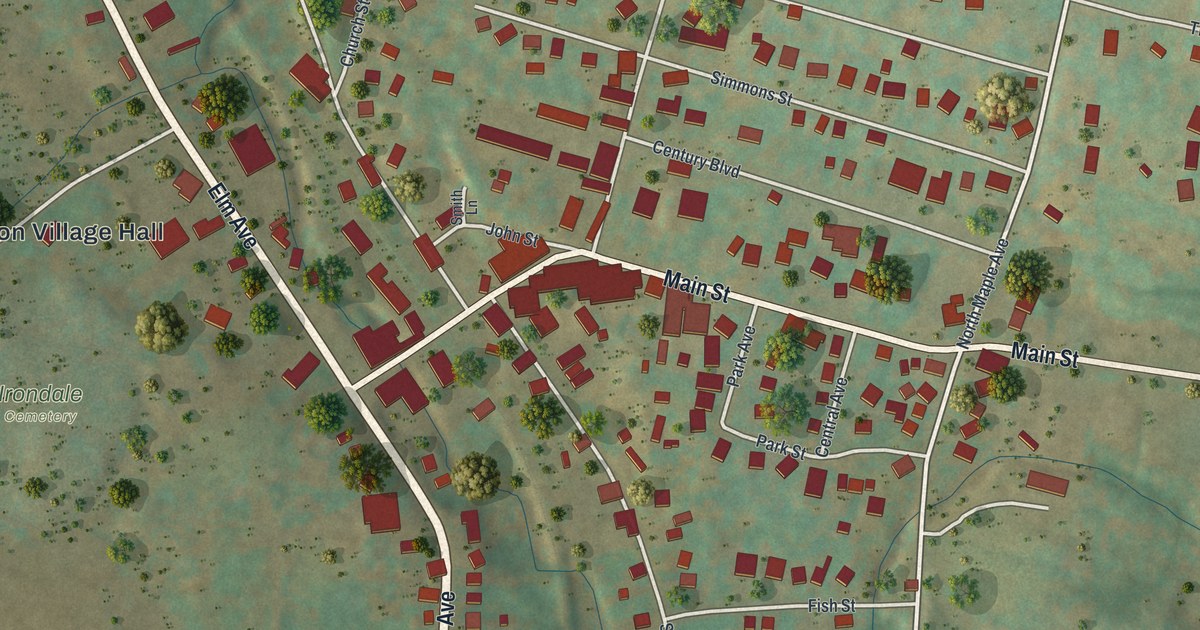
A detailed map of Millerton, New York, showing every building in its true location, the roads by name, and shaded topographical relief.
Read More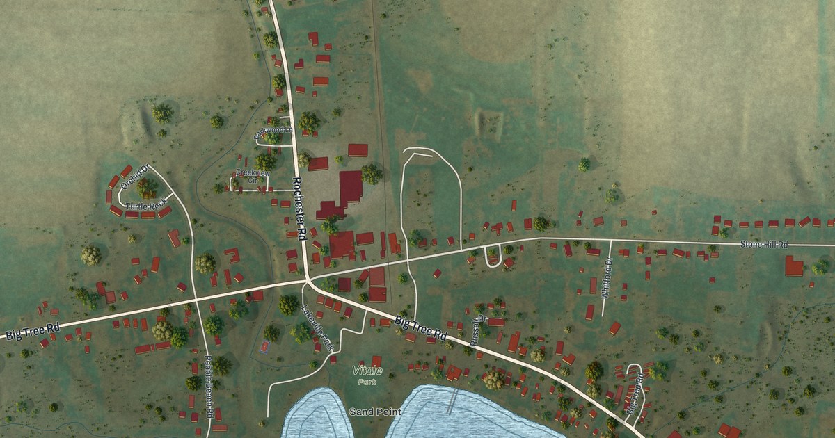
A detailed map of Lakeville, New York, showing every building in its true location, the roads by name, and shaded topographical relief.
Read More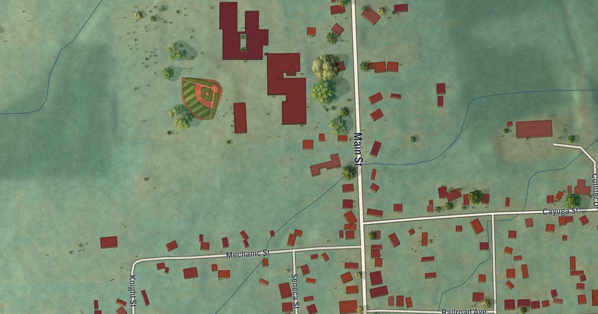
A detailed map of Interlaken, New York, showing every building in its true location, the roads by name, and shaded topographical relief.
Read More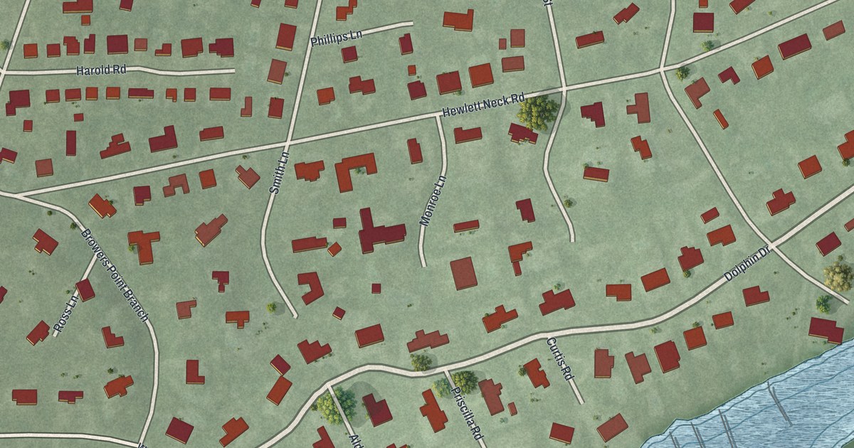
A detailed map of Hewlett Neck, New York, showing every building in its true location, the roads by name, and shaded topographical relief.
Read More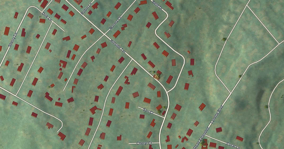
A detailed map of Hillside, New York, showing every building in its true location, the roads by name, and shaded topographical relief.
Read More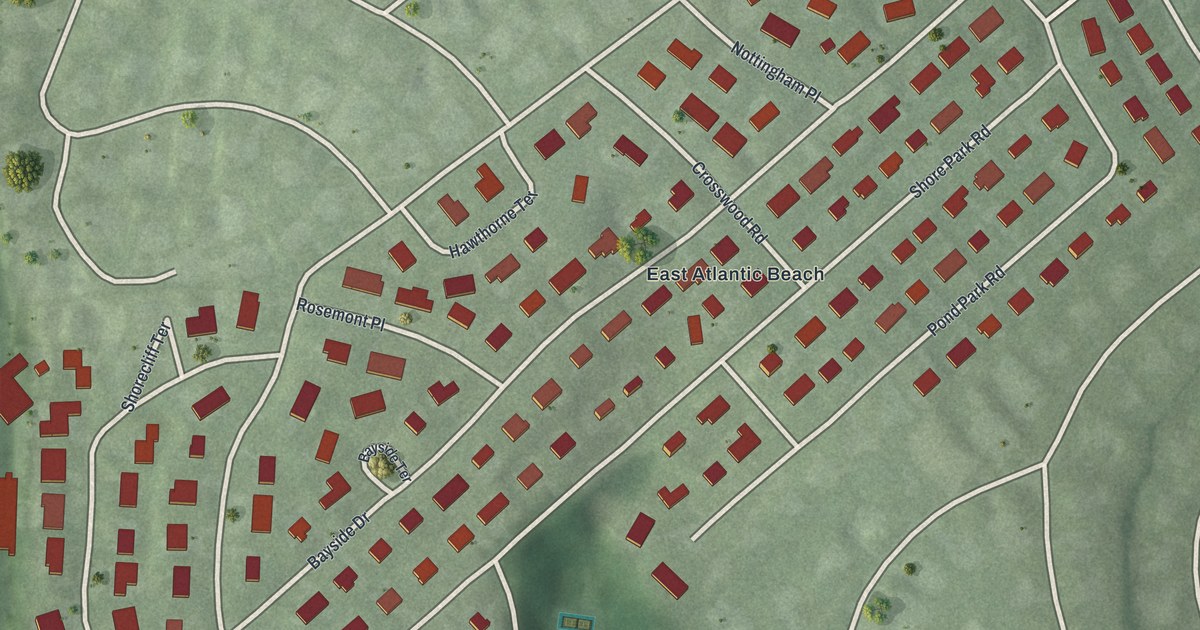
A detailed map of Harbor Hills, New York, showing every building in its true location, the roads by name, and shaded topographical relief.
Read More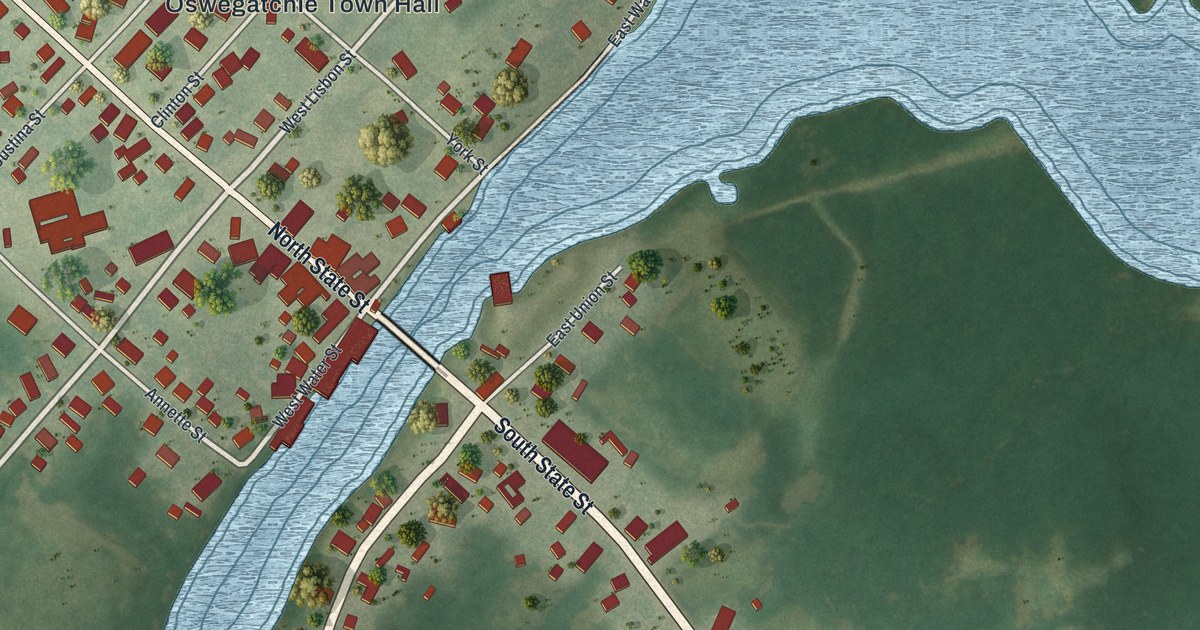
A detailed map of Heuvelton, New York, showing every building in its true location, the roads by name, and shaded topographical relief.
Read More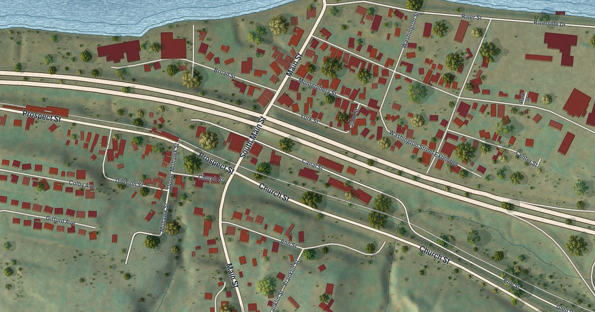
A detailed map of Fultonville, New York, showing every building in its true location, the roads by name, and shaded topographical relief.
Read More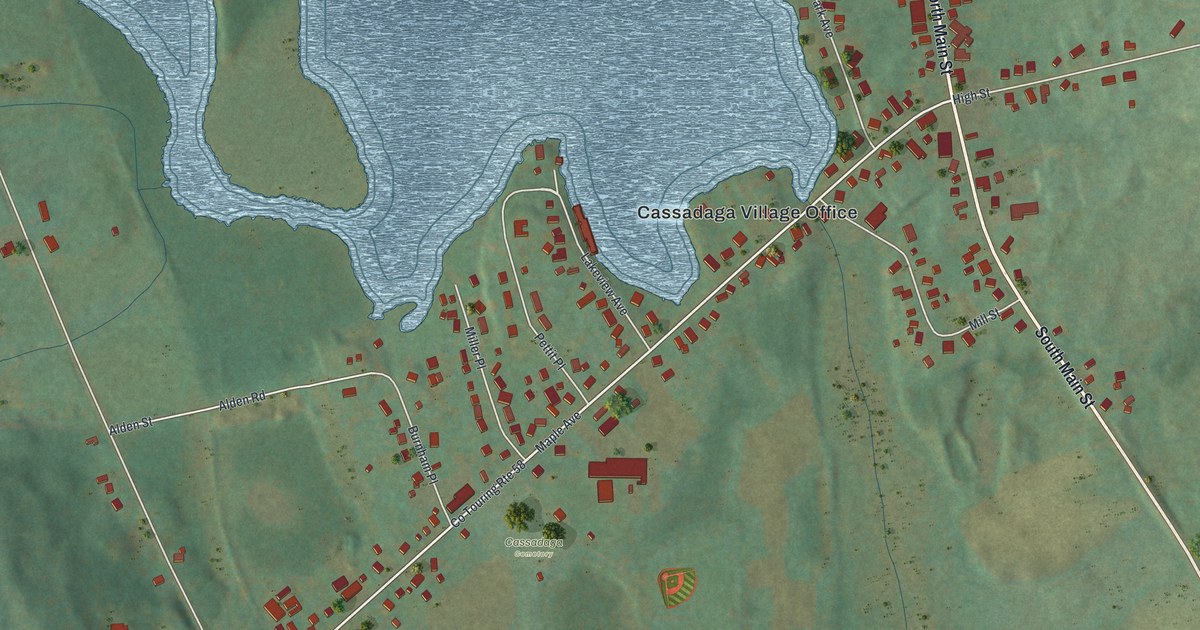
A detailed map of Cassadaga, New York, showing every building in its true location, the roads by name, and shaded topographical relief.
Read More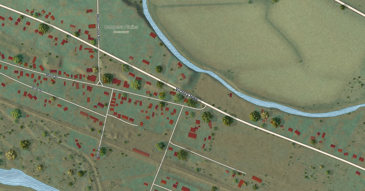
A detailed map of Coopers Plains, New York, showing every building in its true location, the roads by name, and shaded topographical relief.
Read More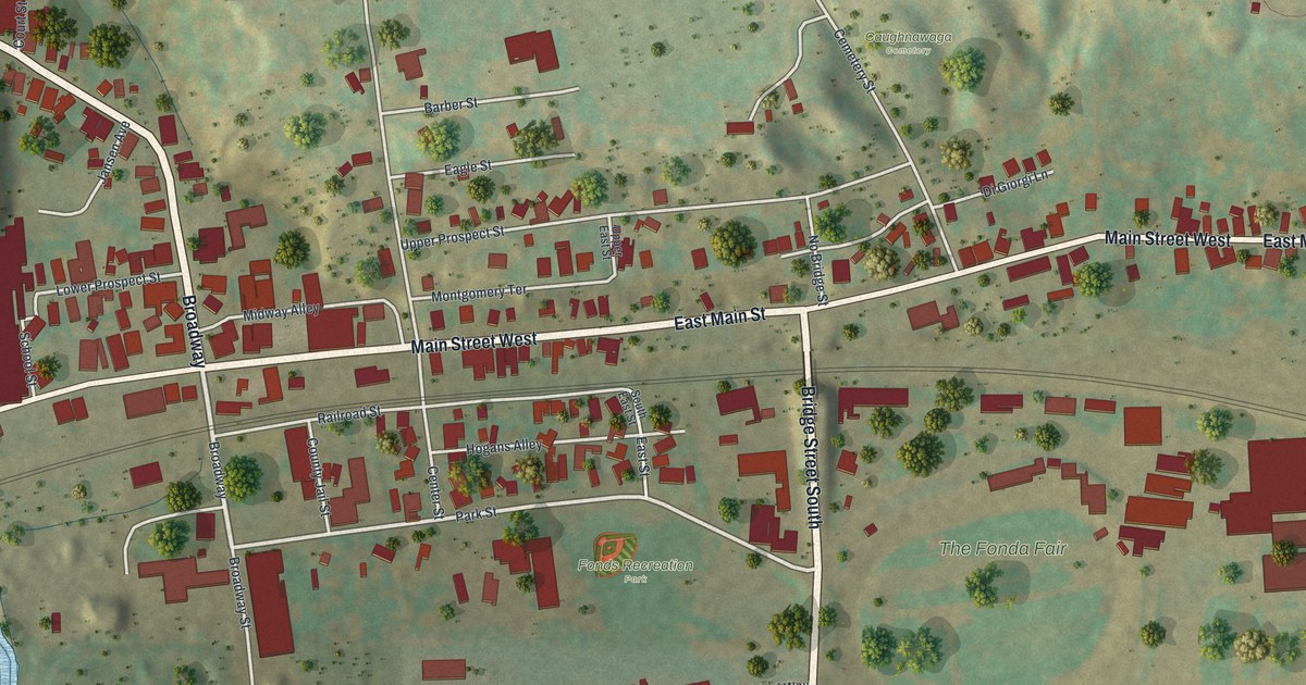
A detailed map of Fonda, New York, showing every building in its true location, the roads by name, and shaded topographical relief.
Read More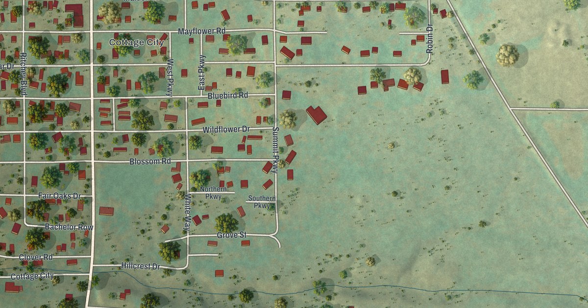
A detailed map of Crystal Beach, New York, showing every building in its true location, the roads by name, and shaded topographical relief.
Read More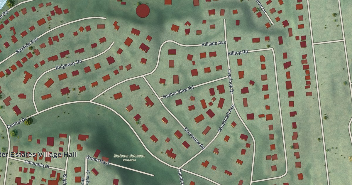
A detailed map of Baxter Estates, New York, showing every building in its true location, the roads by name, and shaded topographical relief.
Read More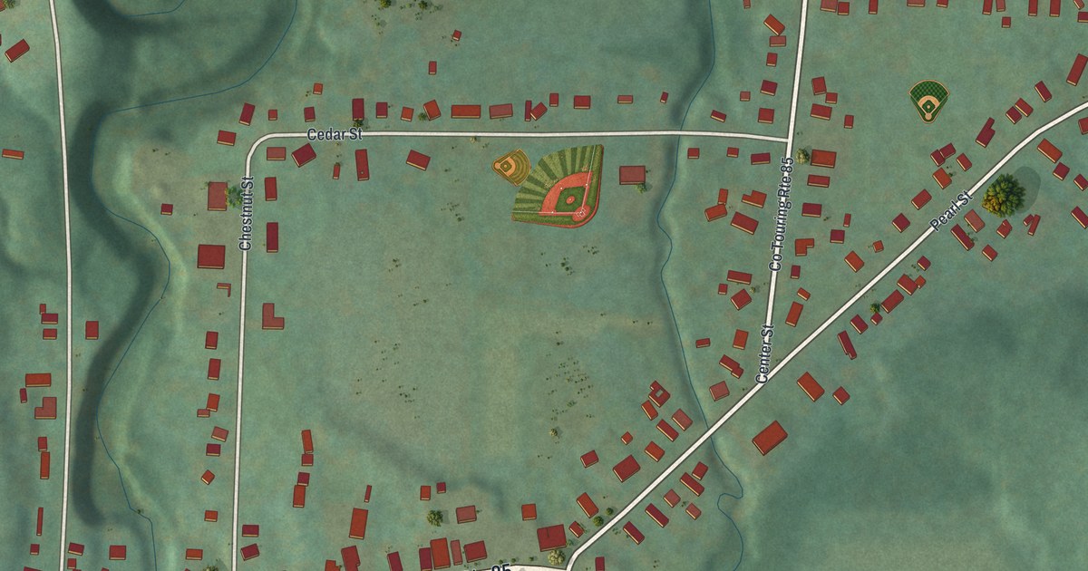
A detailed map of Forestville, New York, showing every building in its true location, the roads by name, and shaded topographical relief.
Read More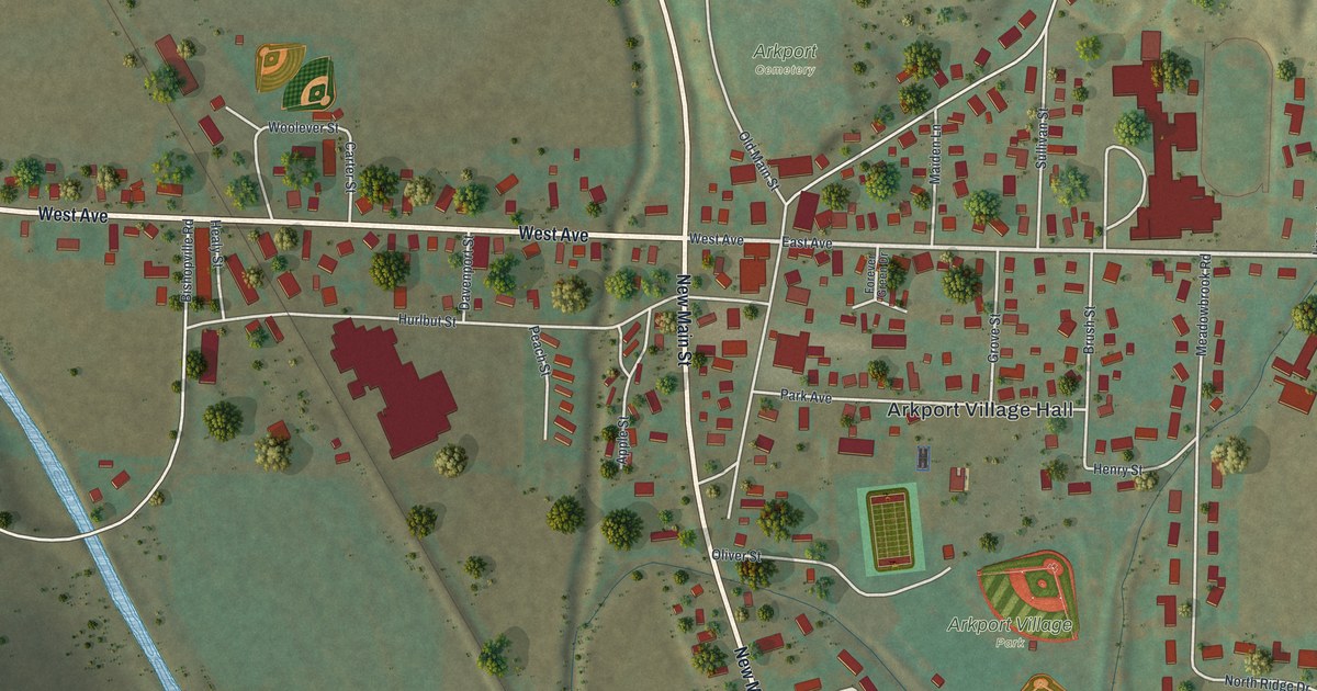
A detailed map of Arkport, New York, showing every building in its true location, the roads by name, and shaded topographical relief.
Read More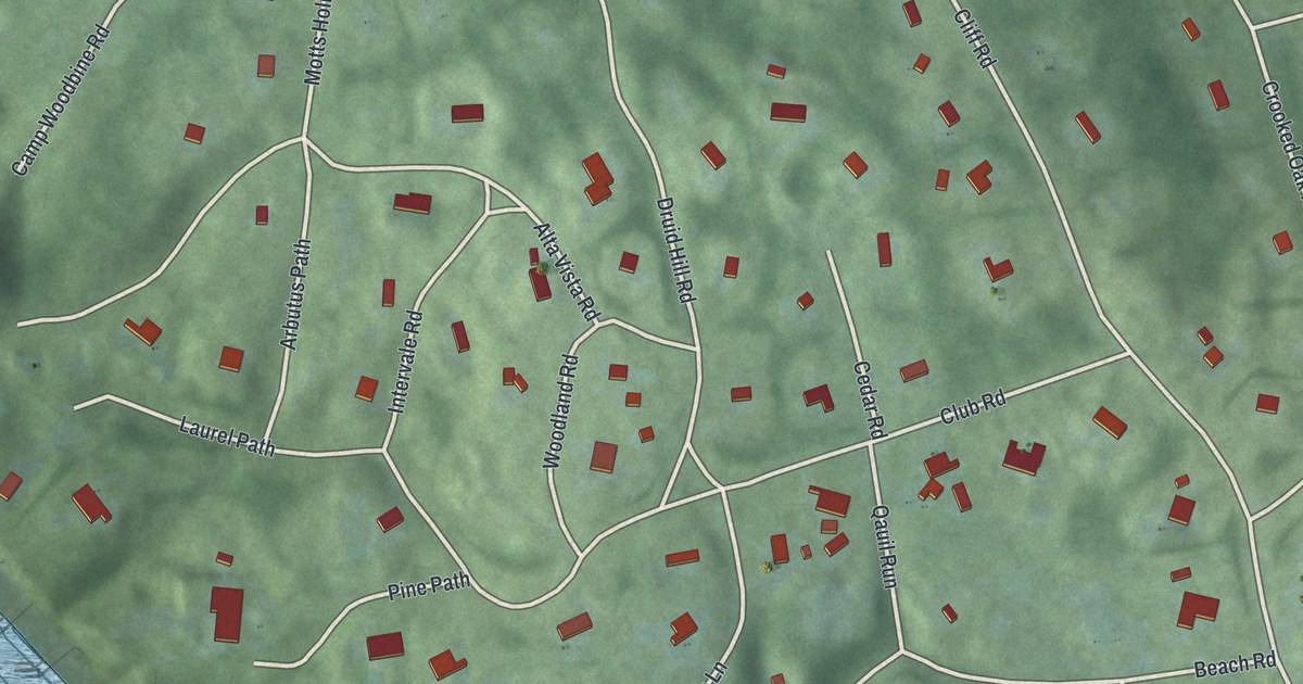
A detailed map of Belle Terre, New York, showing every building in its true location, the roads by name, and shaded topographical relief.
Read More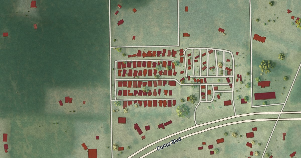
A detailed map of Wiscon, Florida, showing every building in its true location, the roads by name, and shaded topographical relief.
Read More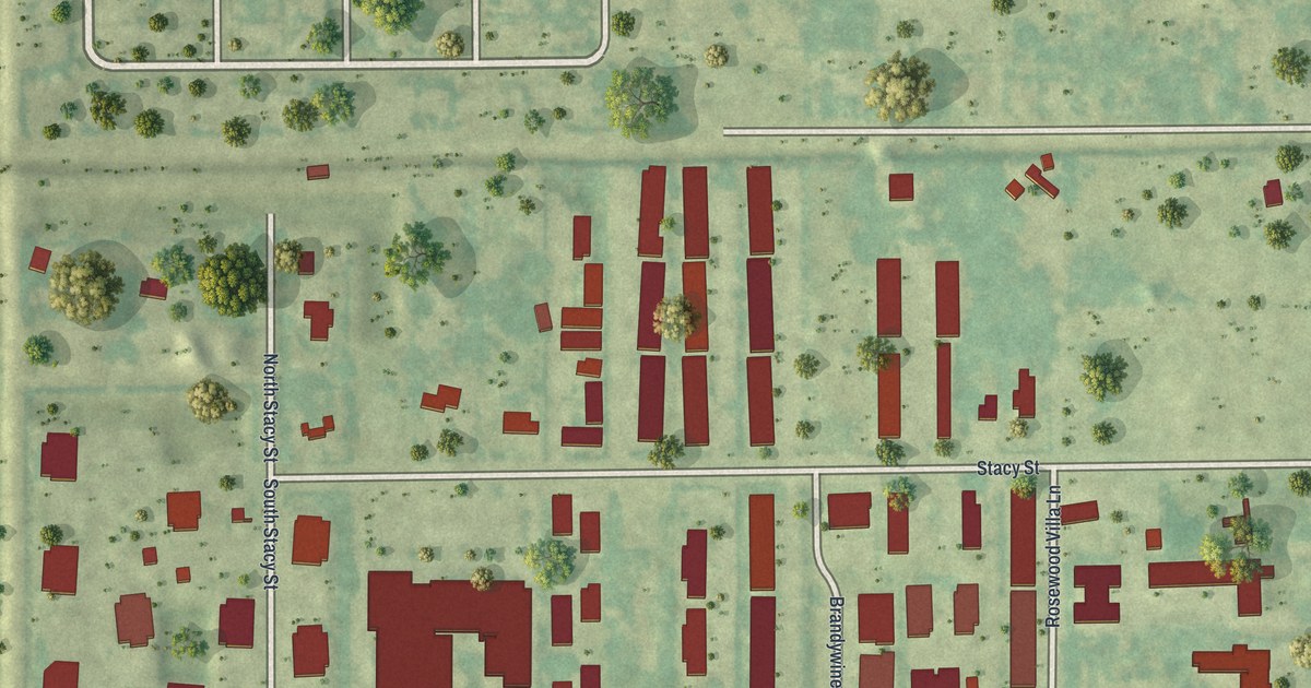
A detailed map of Stacey Street, Florida, showing every building in its true location, the roads by name, and shaded topographical relief.
Read More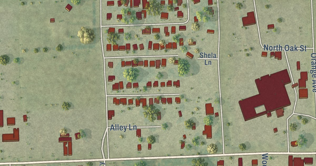
A detailed map of Waverly, Florida, showing every building in its true location, the roads by name, and shaded topographical relief.
Read More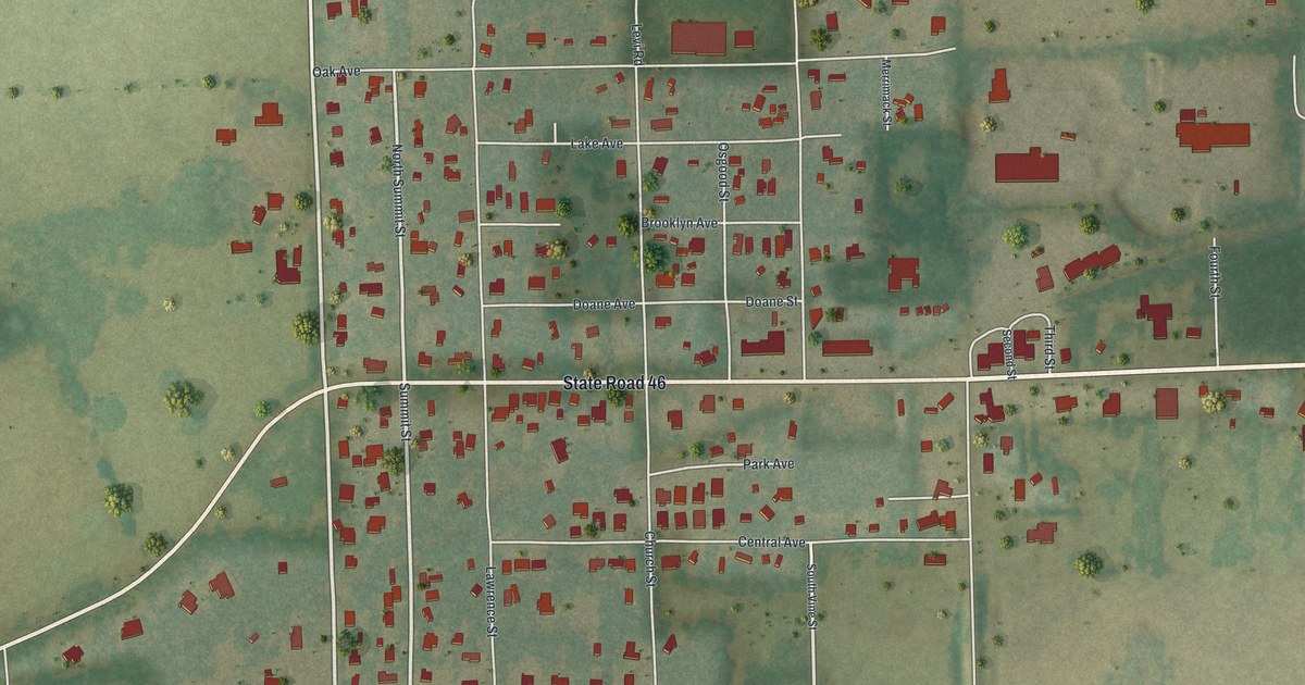
A detailed map of Sorrento, Florida, showing every building in its true location, the roads by name, and shaded topographical relief.
Read More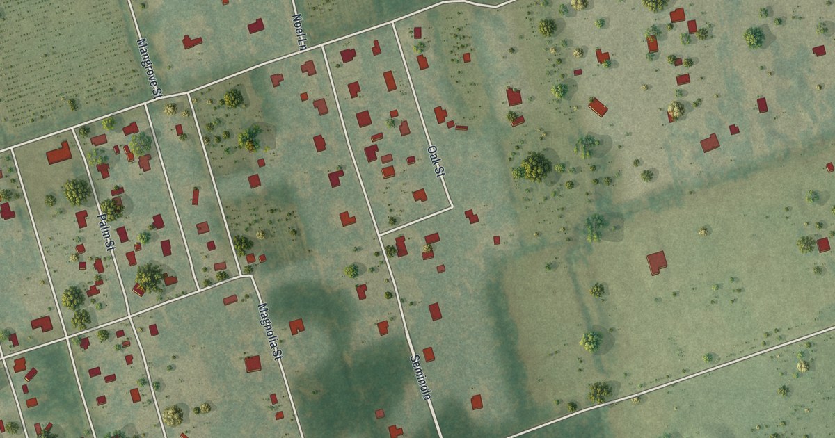
A detailed map of Scottsmoor, Florida, showing every building in its true location, the roads by name, and shaded topographical relief.
Read More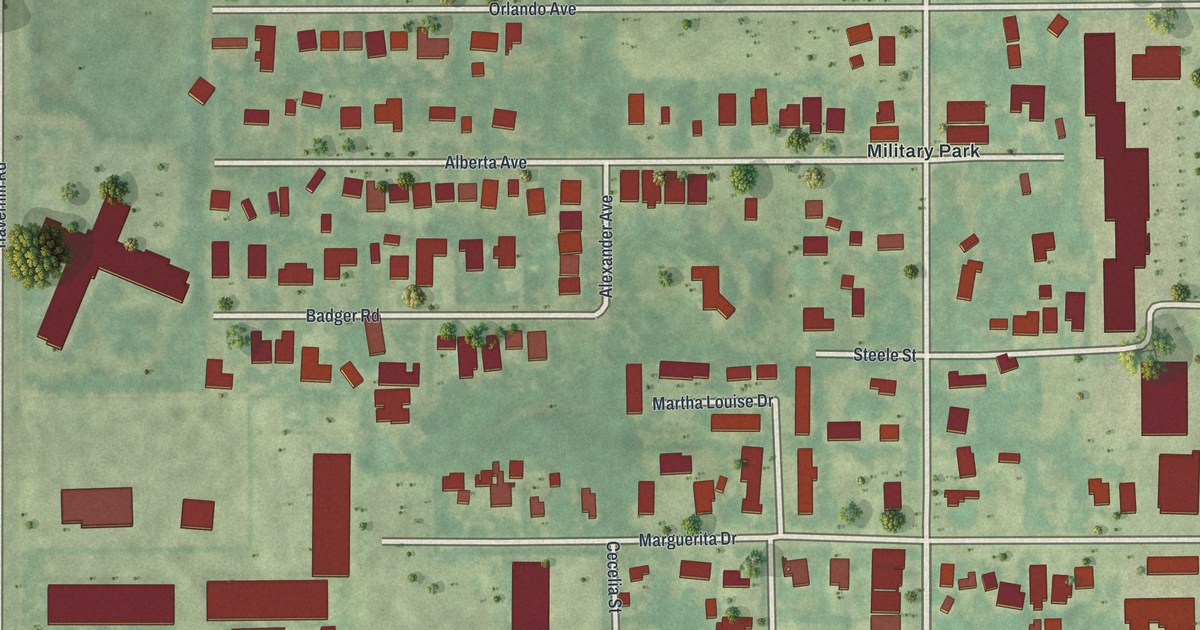
A detailed map of Schall Circle, Florida, showing every building in its true location, the roads by name, and shaded topographical relief.
Read More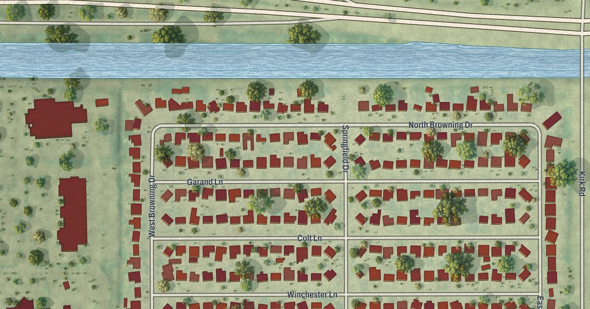
A detailed map of Gun Club Estates, Florida, showing every building in its true location, the roads by name, and shaded topographical relief.
Read More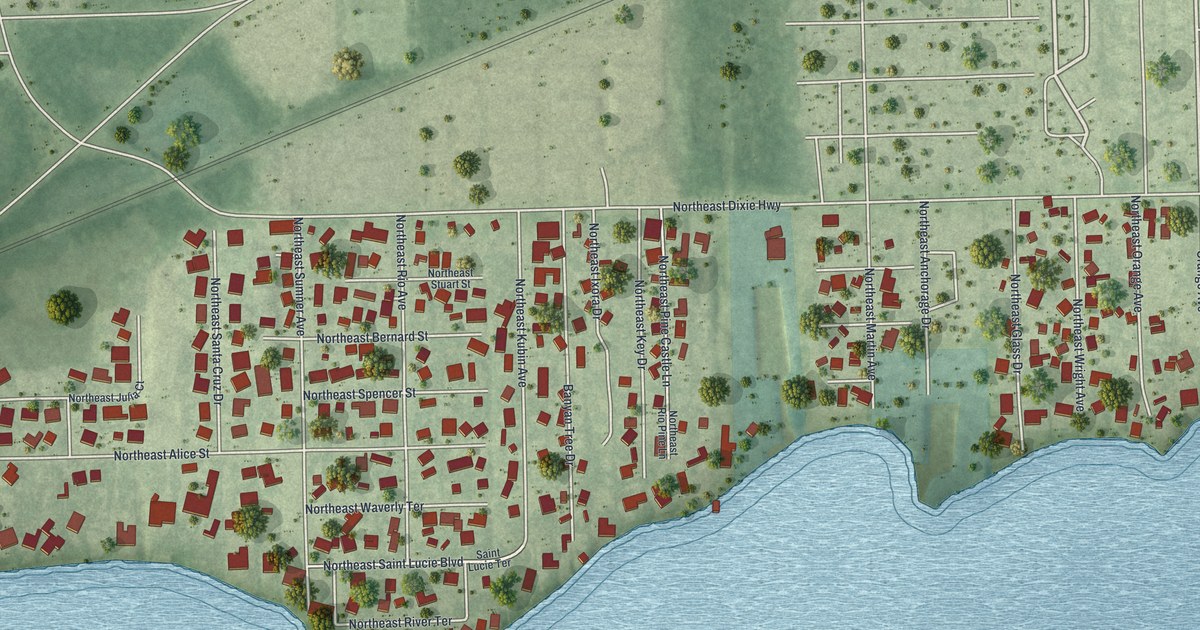
A detailed map of Rio, Florida, showing every building in its true location, the roads by name, and shaded topographical relief.
Read More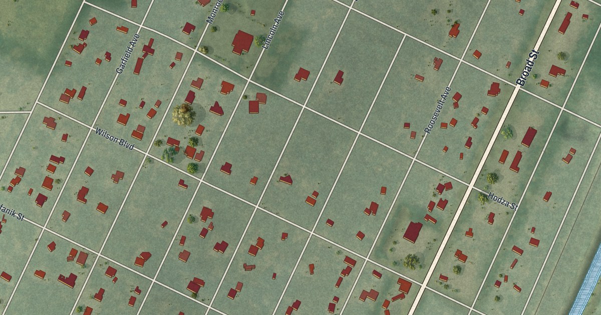
A detailed map of Masaryktown, Florida, showing every building in its true location, the roads by name, and shaded topographical relief.
Read More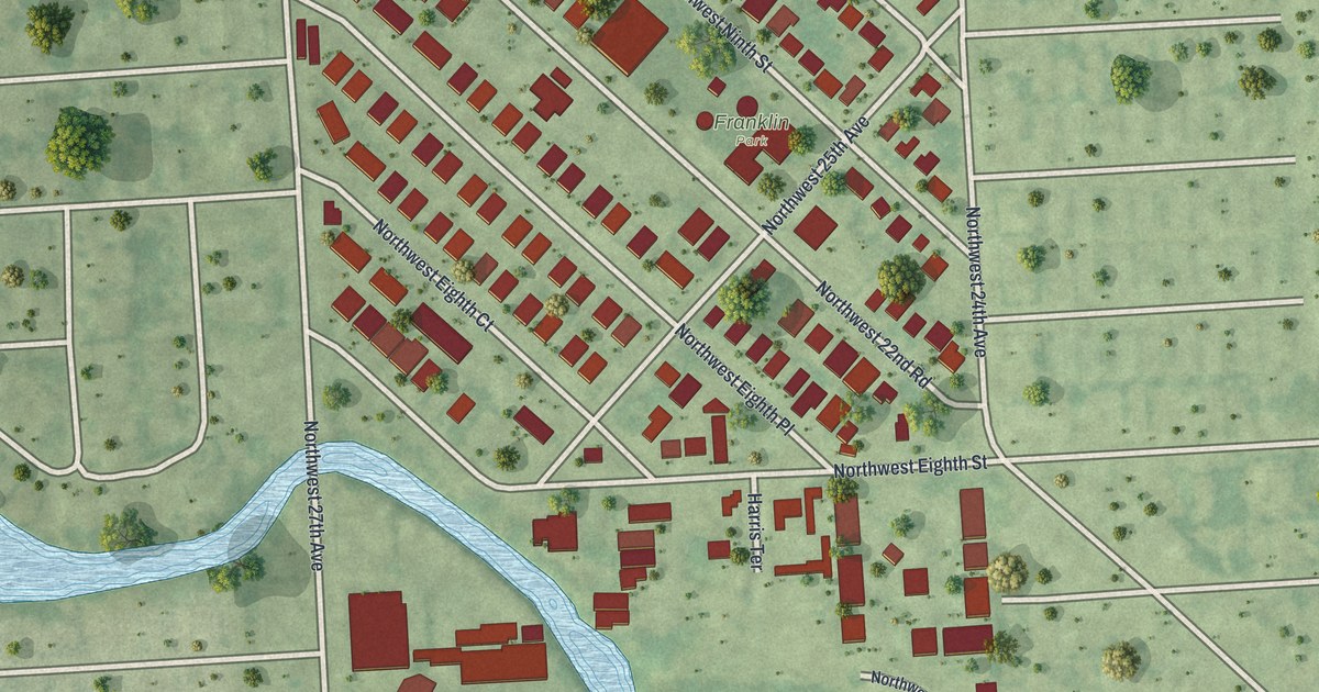
A detailed map of Franklin Park, Florida, showing every building in its true location, the roads by name, and shaded topographical relief.
Read More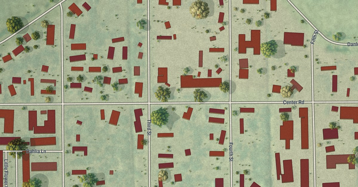
A detailed map of Page Park, Florida, showing every building in its true location, the roads by name, and shaded topographical relief.
Read More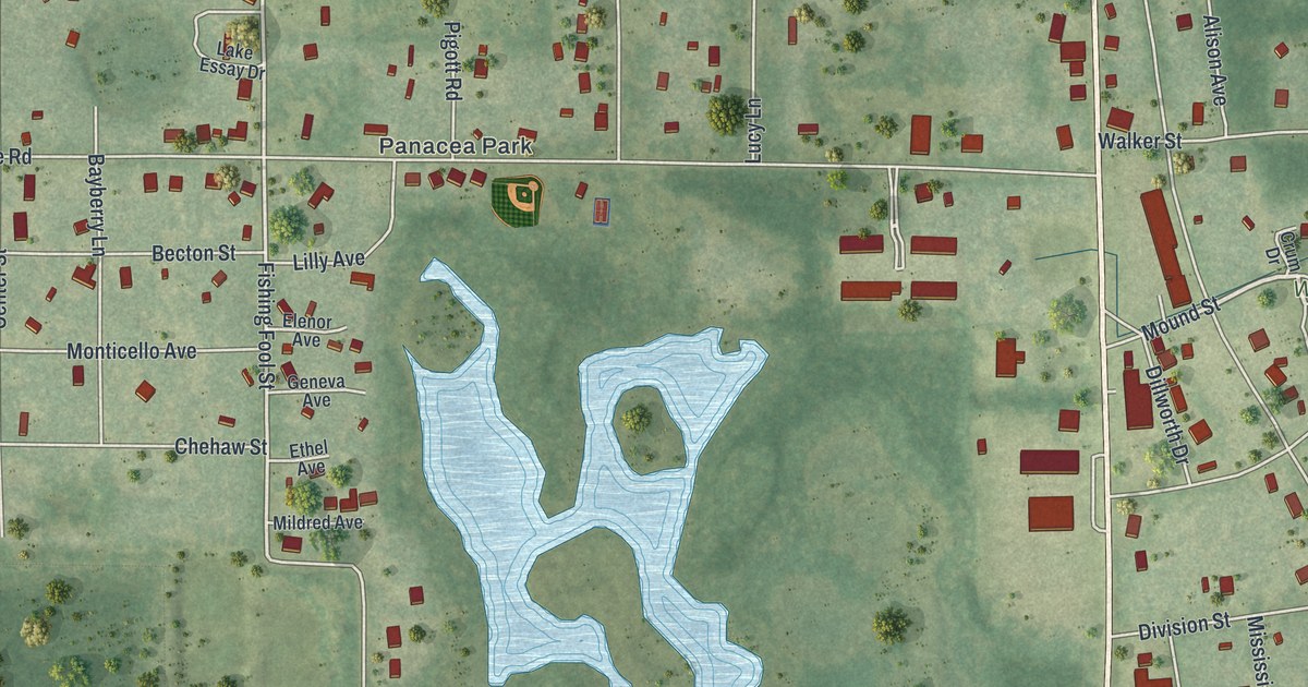
A detailed map of Panacea, Florida, showing every building in its true location, the roads by name, and shaded topographical relief.
Read More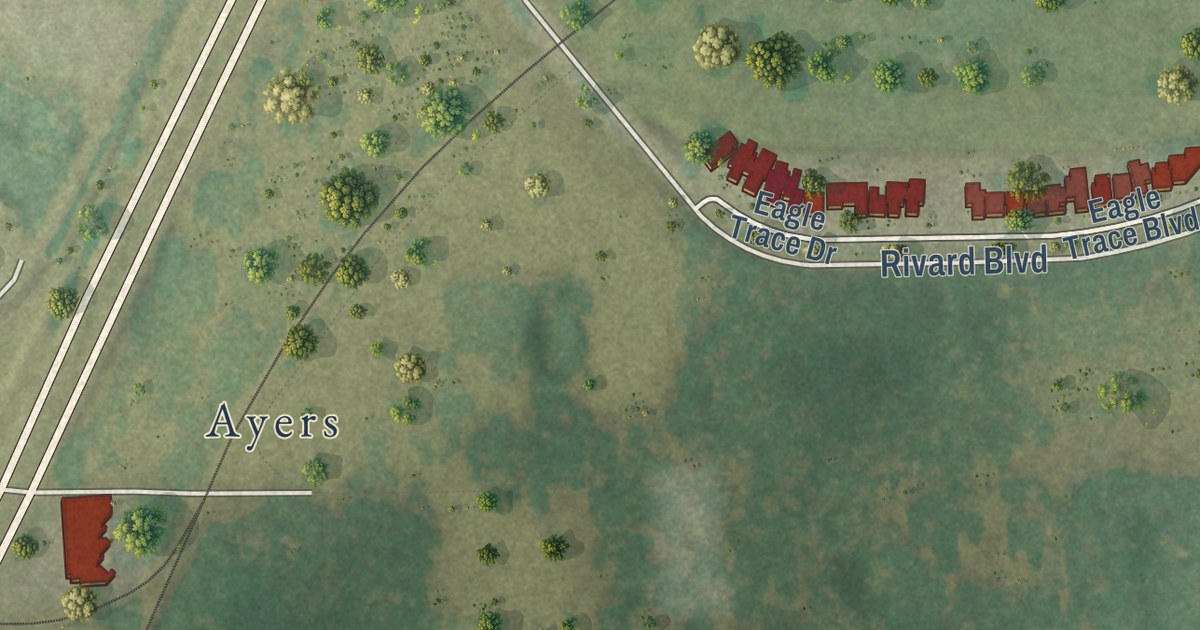
A detailed map of Garden Grove, Florida, showing every building in its true location, the roads by name, and shaded topographical relief.
Read More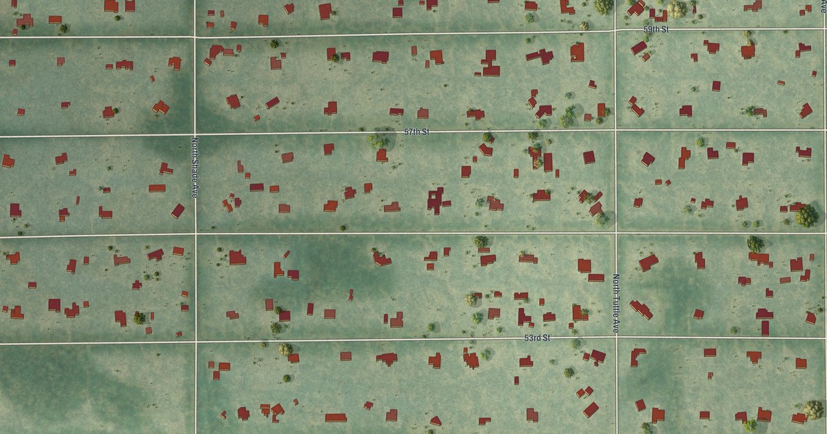
A detailed map of Desoto Acres, Florida, showing every building in its true location, the roads by name, and shaded topographical relief.
Read More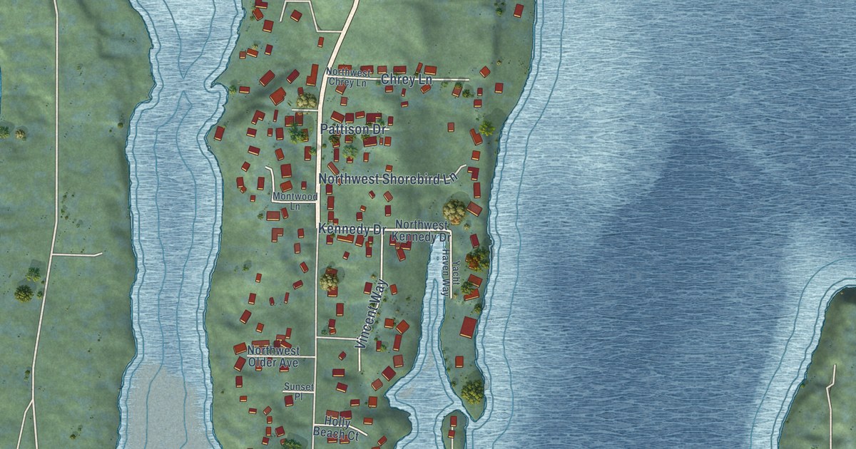
A detailed map of Rocky Point, Washington, showing every building in its true location, the roads by name, and shaded topographical relief.
Read More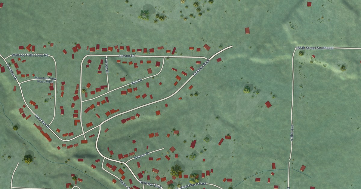
A detailed map of May Creek, Washington, showing every building in its true location, the roads by name, and shaded topographical relief.
Read More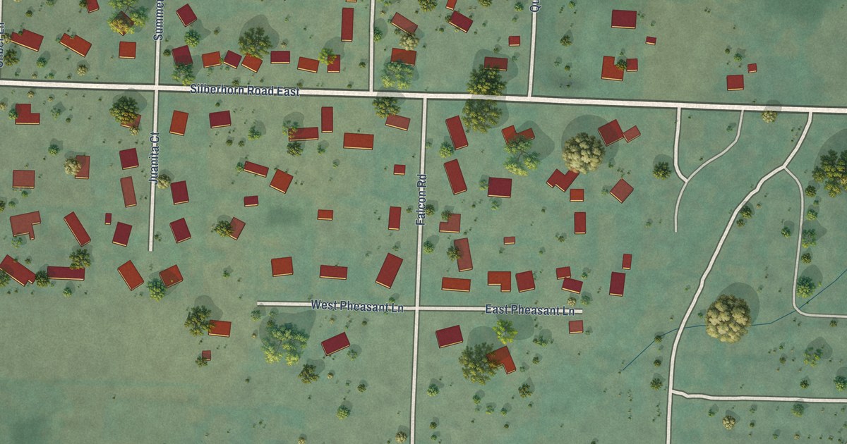
A detailed map of River Road, Washington, showing every building in its true location, the roads by name, and shaded topographical relief.
Read More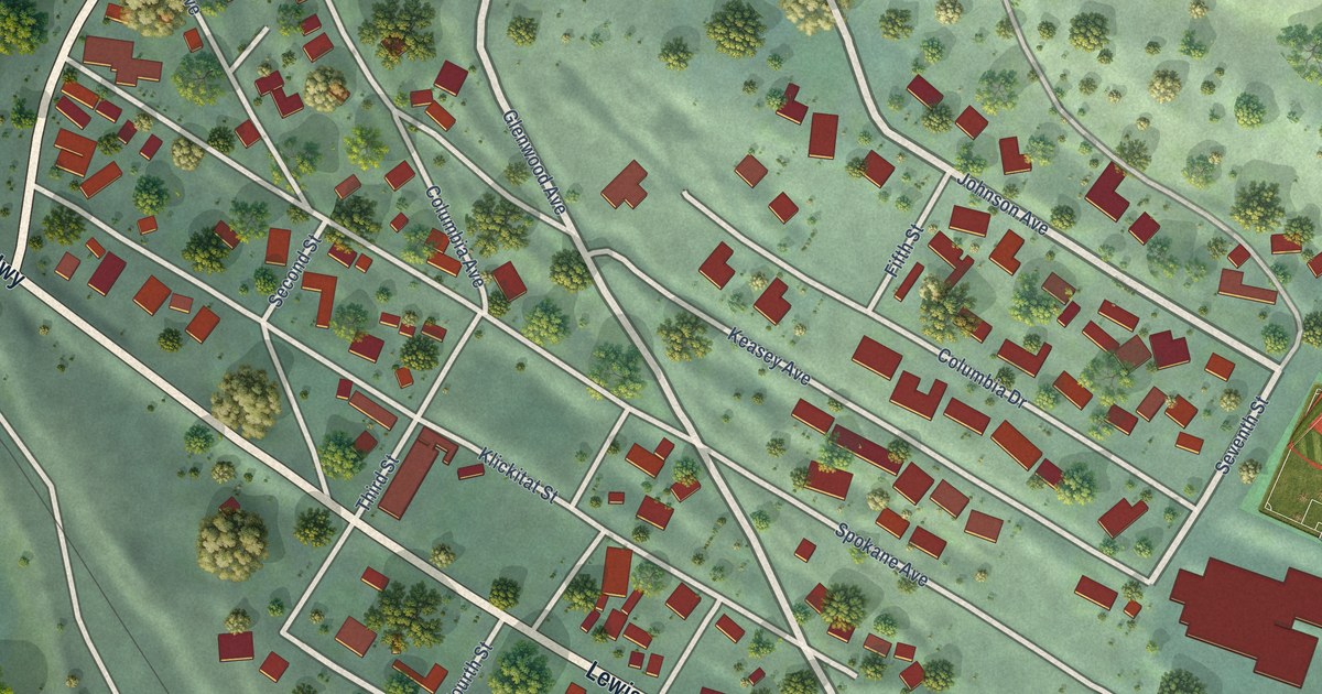
A detailed map of Lyle, Washington, showing every building in its true location, the roads by name, and shaded topographical relief.
Read More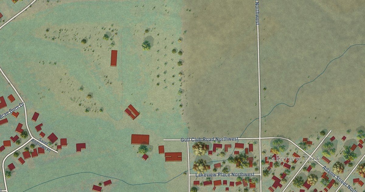
A detailed map of Lakeview, Washington, showing every building in its true location, the roads by name, and shaded topographical relief.
Read More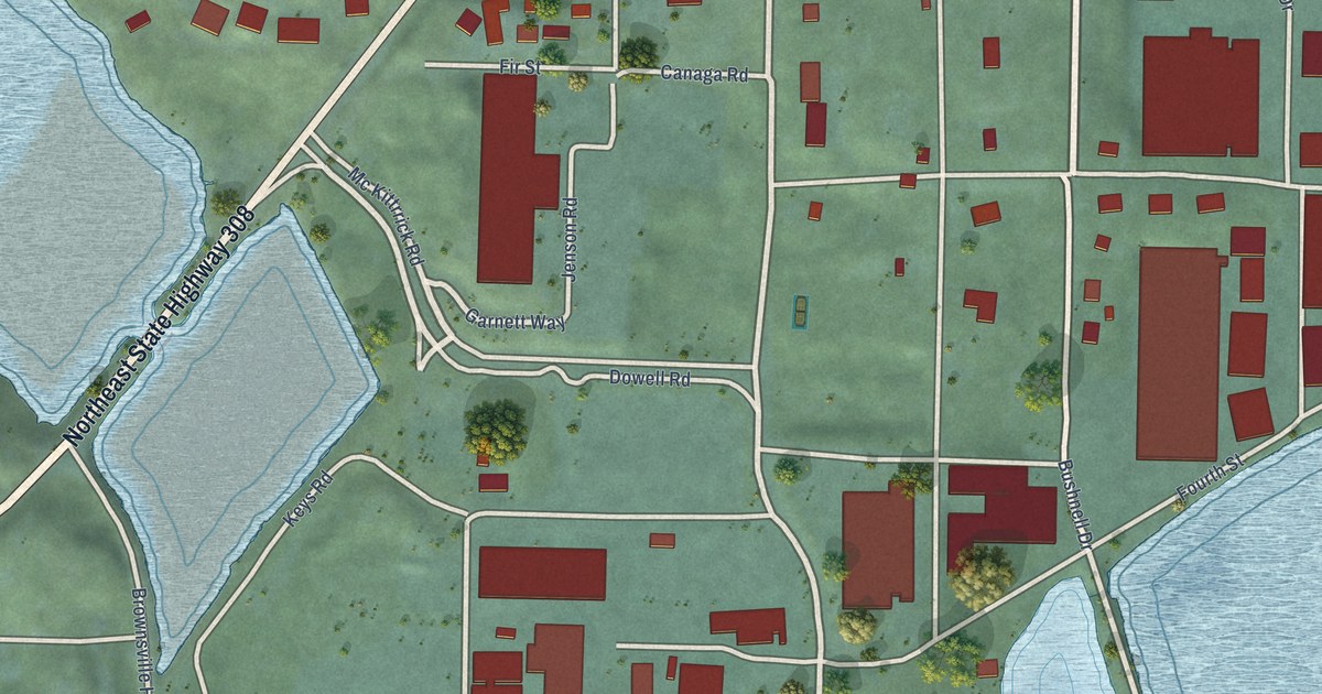
A detailed map of Keyport, Washington, showing every building in its true location, the roads by name, and shaded topographical relief.
Read More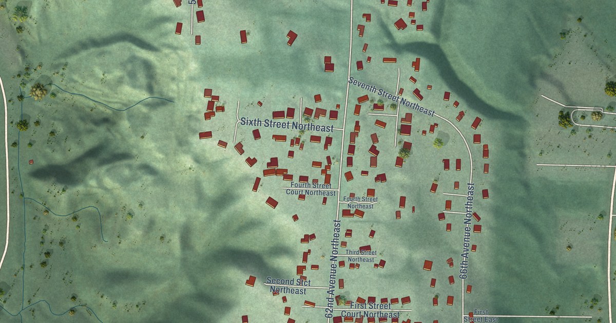
A detailed map of Fife Heights, Washington, showing every building in its true location, the roads by name, and shaded topographical relief.
Read More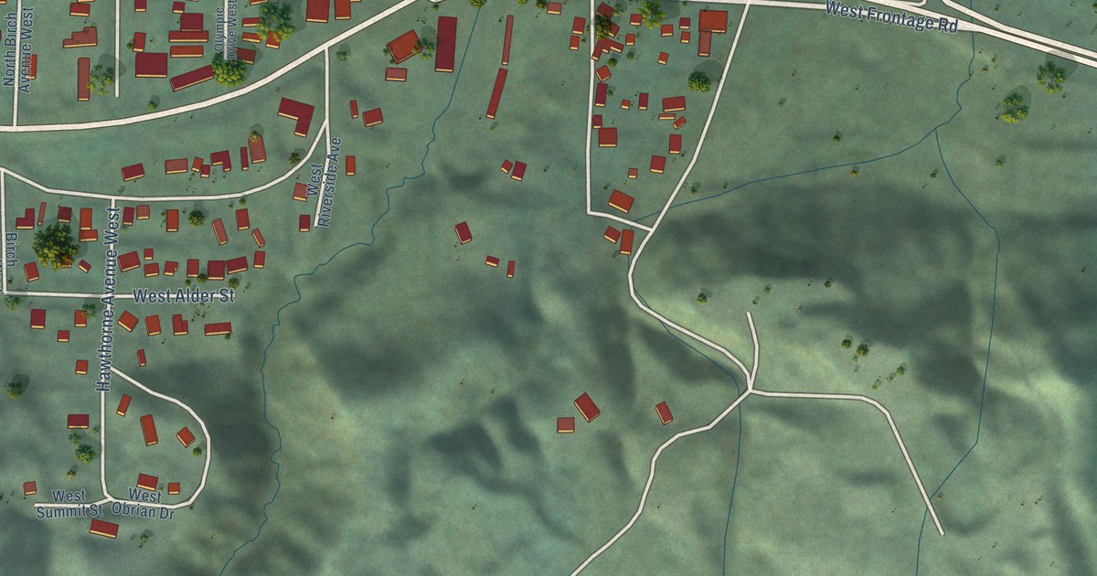
A detailed map of Gorst, Washington, showing every building in its true location, the roads by name, and shaded topographical relief.
Read More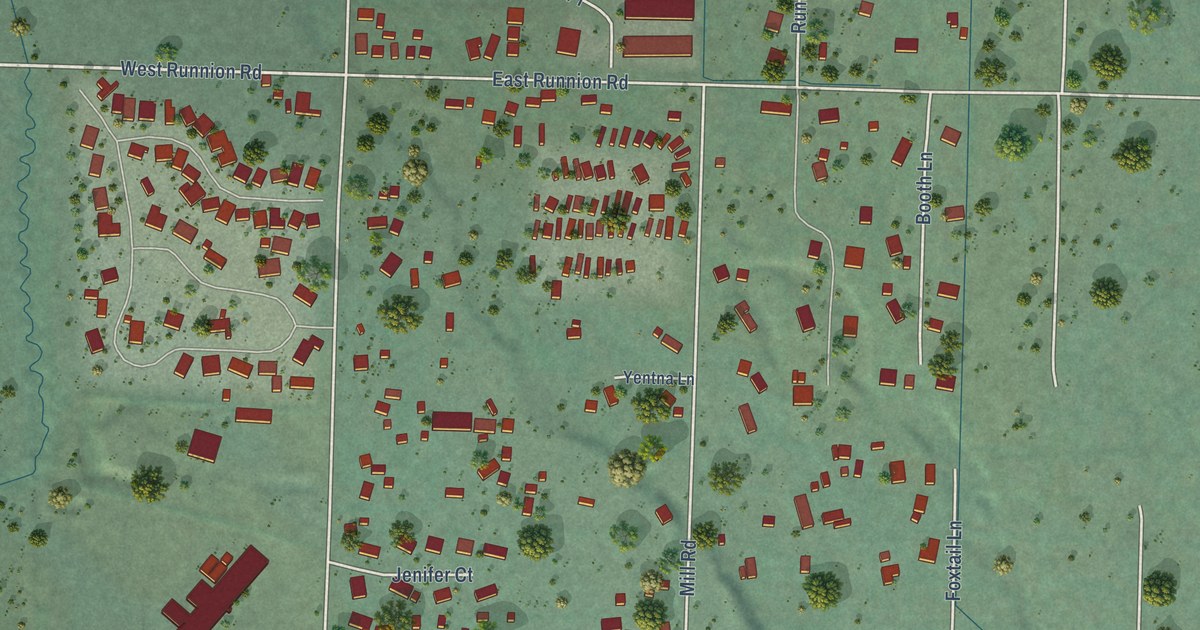
A detailed map of Carlsborg, Washington, showing every building in its true location, the roads by name, and shaded topographical relief.
Read More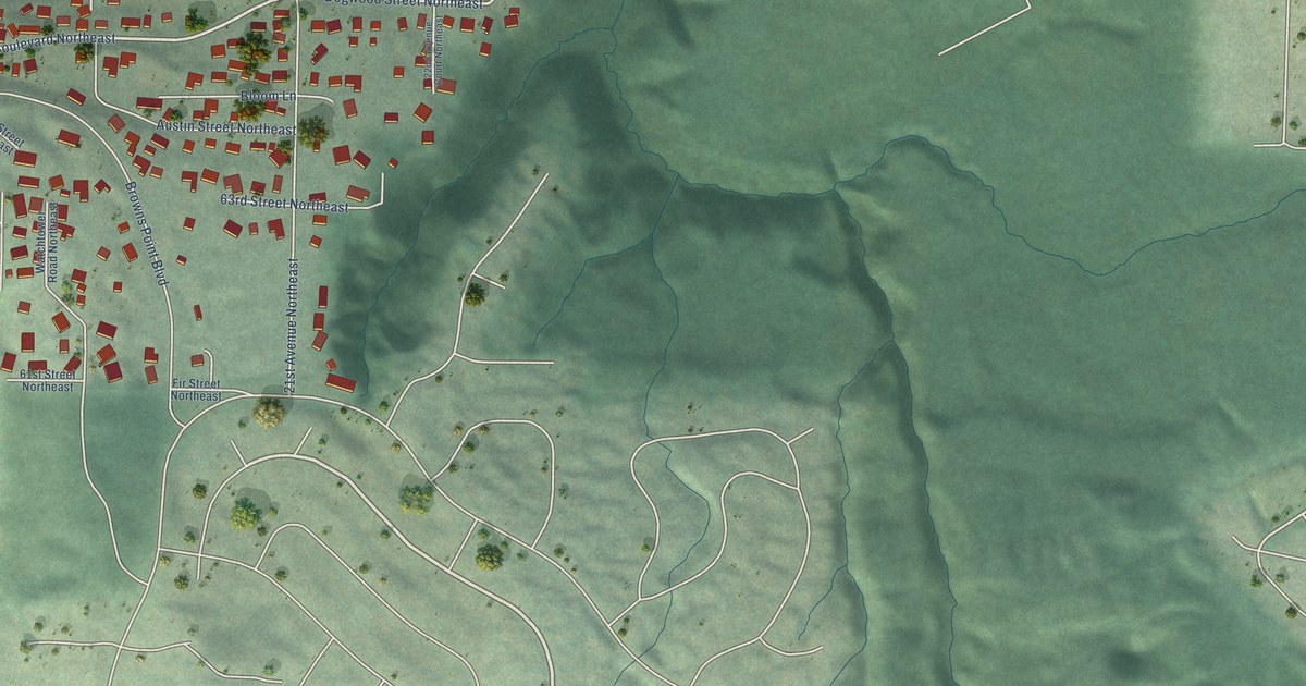
A detailed map of Dash Point, Washington, showing every building in its true location, the roads by name, and shaded topographical relief.
Read More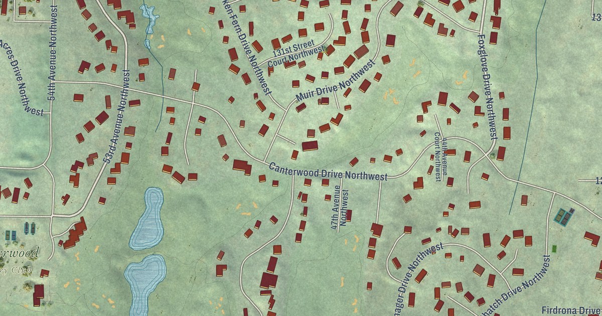
A detailed map of Canterwood, Washington, showing every building in its true location, the roads by name, and shaded topographical relief.
Read More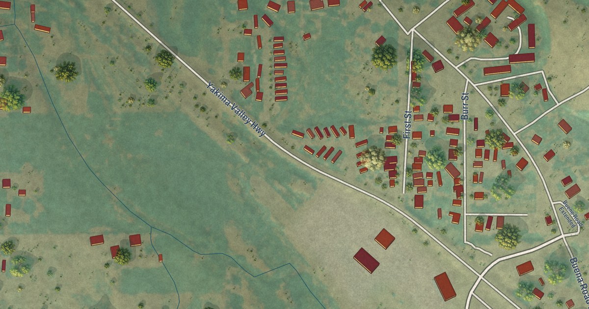
A detailed map of Buena, Washington, showing every building in its true location, the roads by name, and shaded topographical relief.
Read More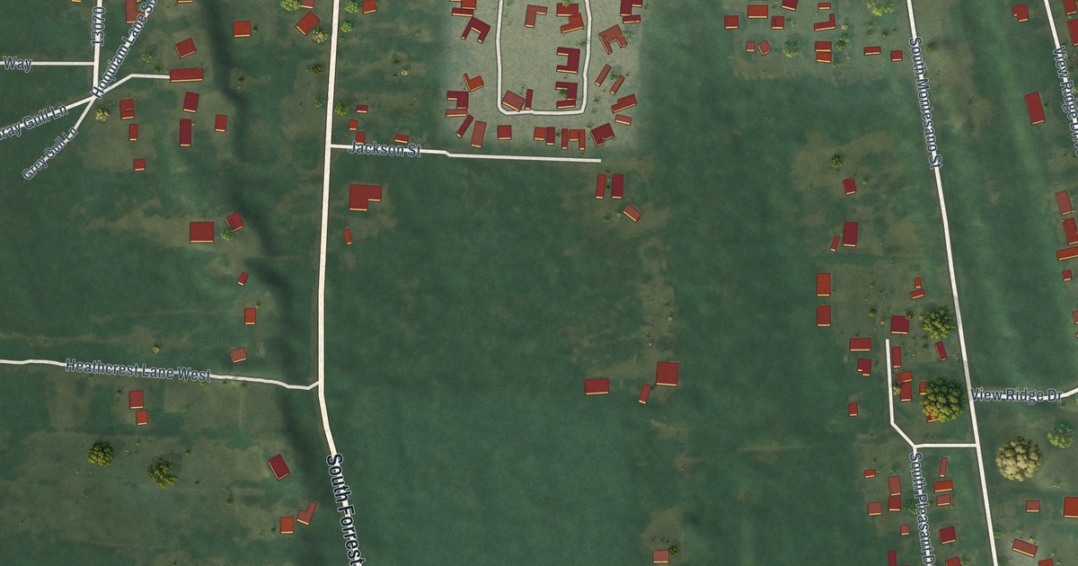
A detailed map of Cohassett Beach, Washington, showing every building in its true location, the roads by name, and shaded topographical relief.
Read More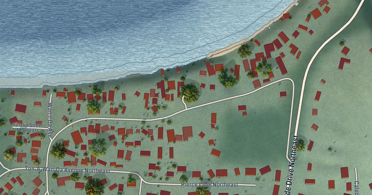
A detailed map of Browns Point, Washington, showing every building in its true location, the roads by name, and shaded topographical relief.
Read More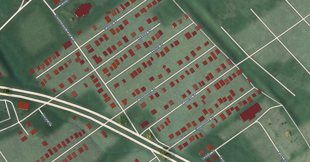
A detailed map of Maryland Park, Maryland, showing every building in its true location, the roads by name, and shaded topographical relief.
Read More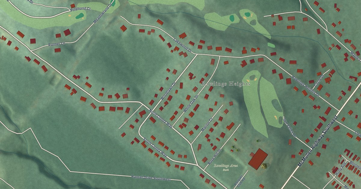
A detailed map of Rawlings, Maryland, showing every building in its true location, the roads by name, and shaded topographical relief.
Read More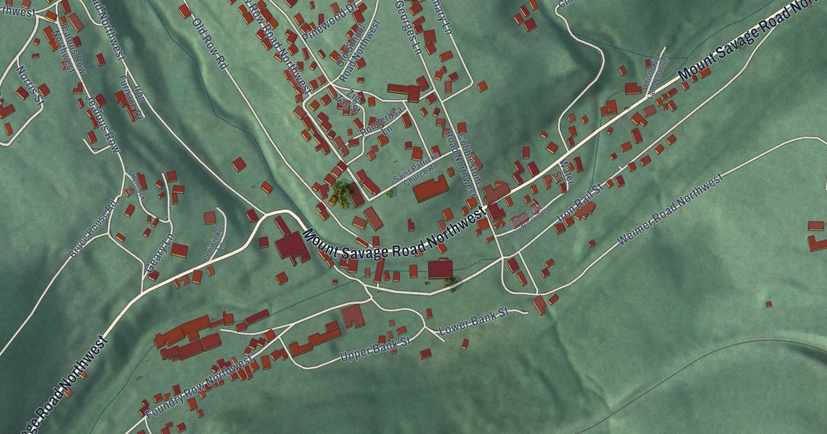
A detailed map of Mount Savage, Maryland, showing every building in its true location, the roads by name, and shaded topographical relief.
Read More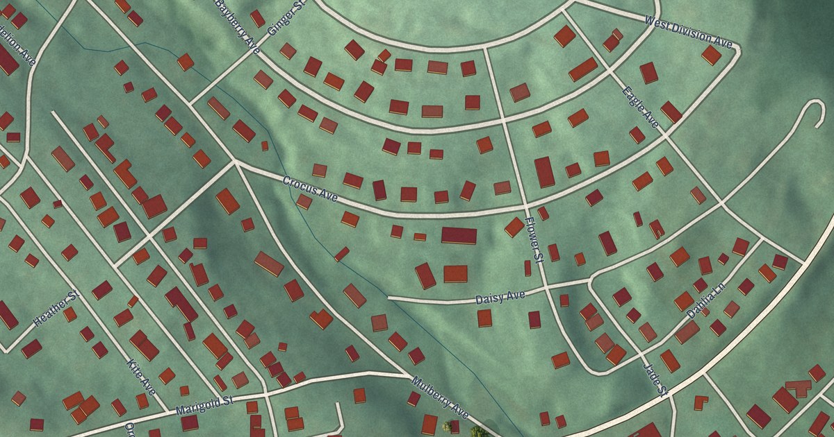
A detailed map of Potomac Park, Maryland, showing every building in its true location, the roads by name, and shaded topographical relief.
Read More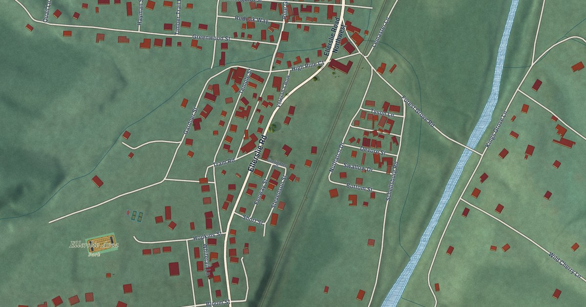
A detailed map of Ellerslie, Maryland, showing every building in its true location, the roads by name, and shaded topographical relief.
Read More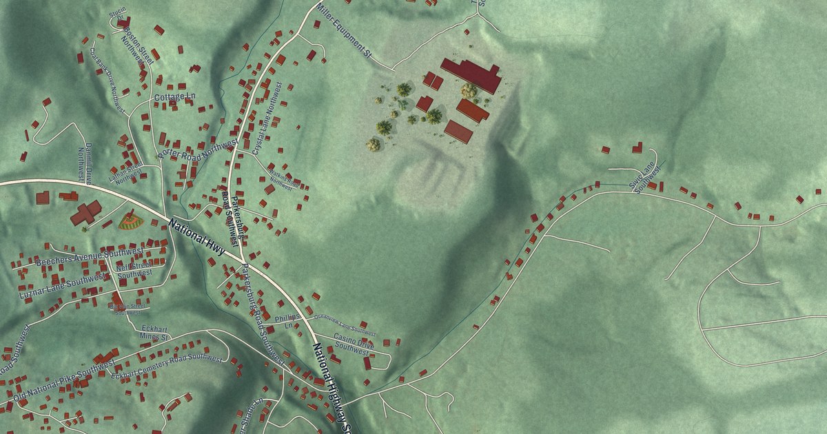
A detailed map of Eckhart Mines, Maryland, showing every building in its true location, the roads by name, and shaded topographical relief.
Read More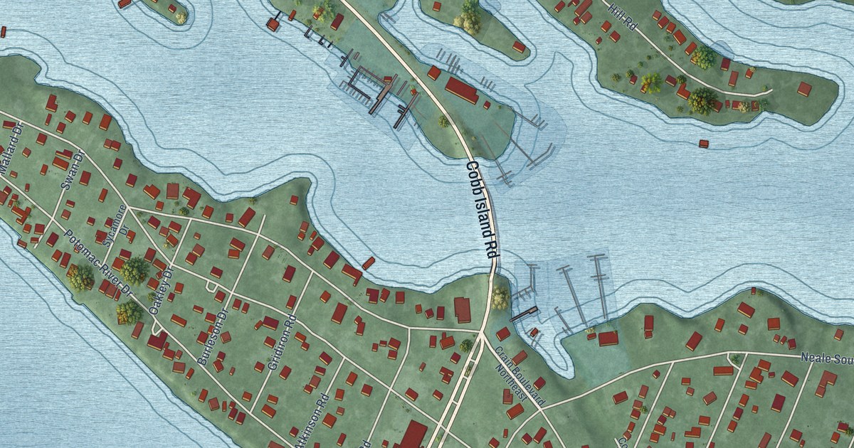
A detailed map of Cobb Island, Maryland, showing every building in its true location, the roads by name, and shaded topographical relief.
Read More















