Detailed Map of Rock Creek, Alabama
A detailed map of Rock Creek, Alabama, showing every building in its true location, the roads by name, and shaded topographical relief.
Read More
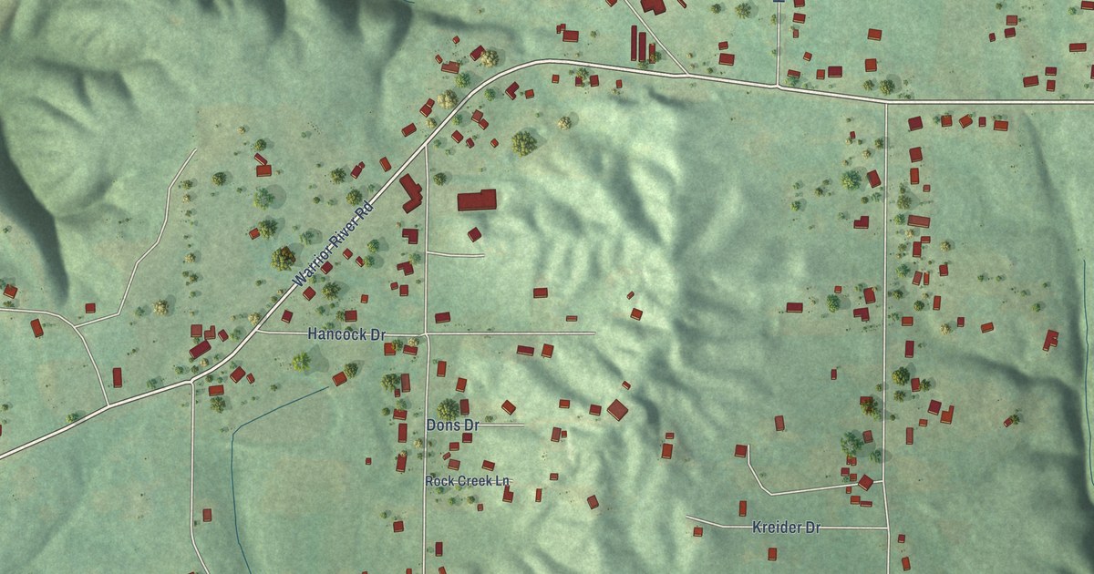
A detailed map of Rock Creek, Alabama, showing every building in its true location, the roads by name, and shaded topographical relief.
Read More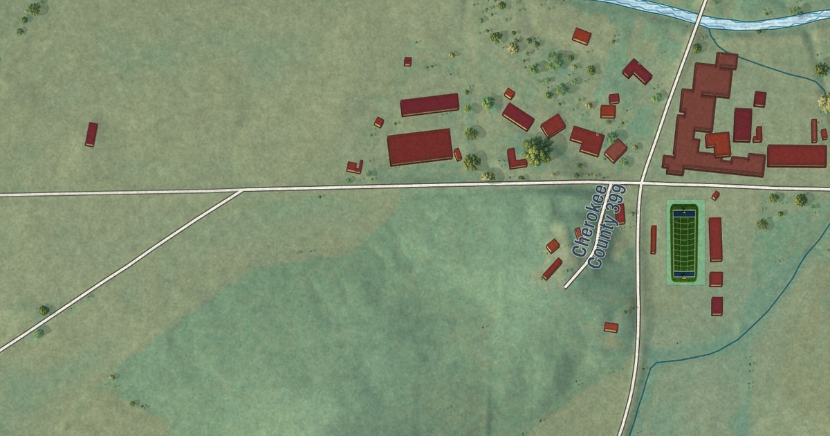
A detailed map of Spring Garden, Alabama, showing every building in its true location, the roads by name, and shaded topographical relief.
Read More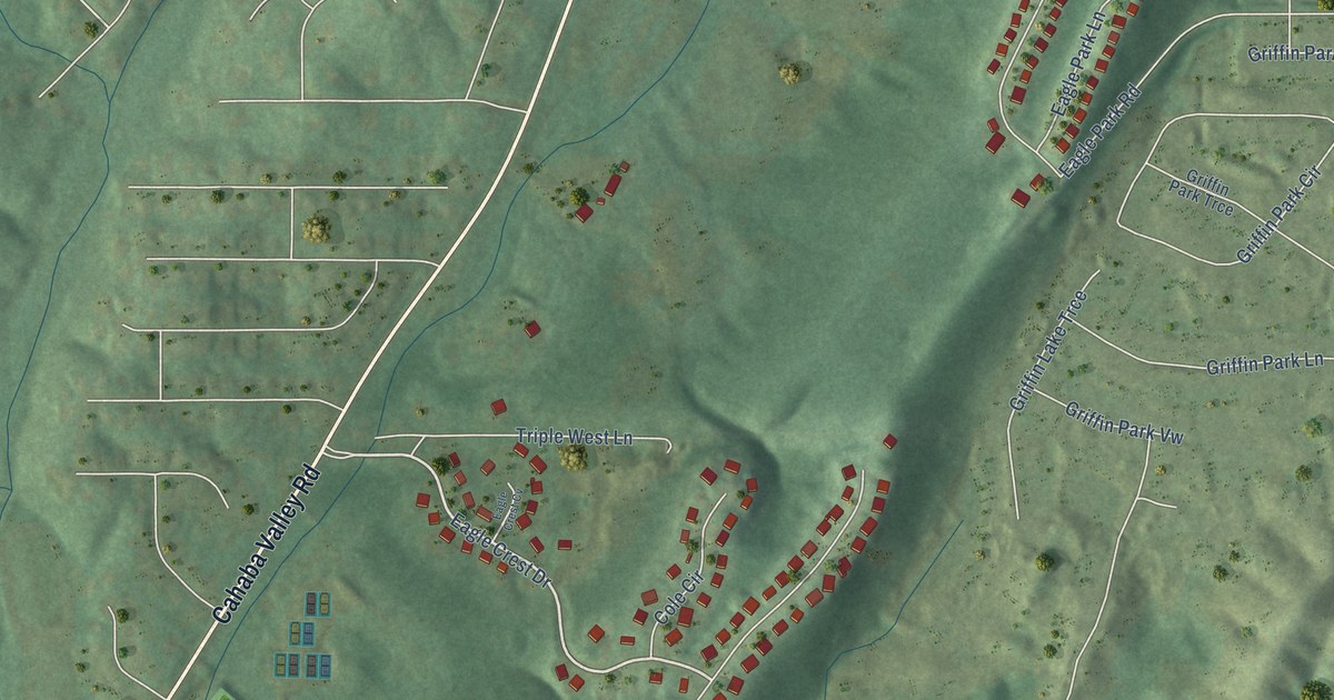
A detailed map of Eagle Point, Alabama, showing every building in its true location, the roads by name, and shaded topographical relief.
Read More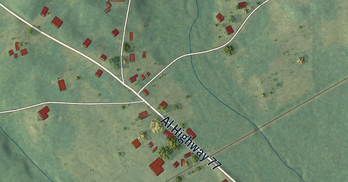
A detailed map of Abanda, Alabama, showing every building in its true location, the roads by name, and shaded topographical relief.
Read More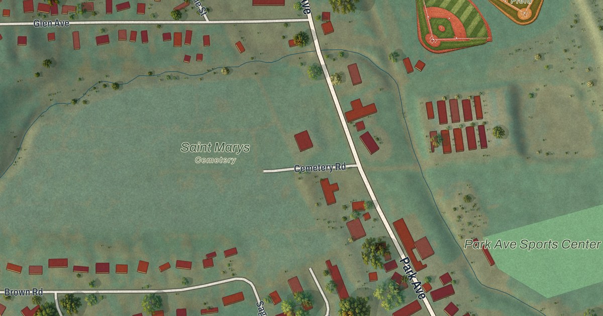
A detailed map of South Corning, New York, showing every building in its true location, the roads by name, and shaded topographical relief.
Read More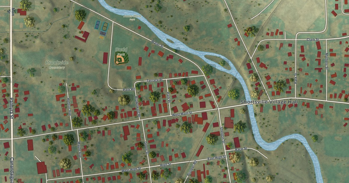
A detailed map of Shortsville, New York, showing every building in its true location, the roads by name, and shaded topographical relief.
Read More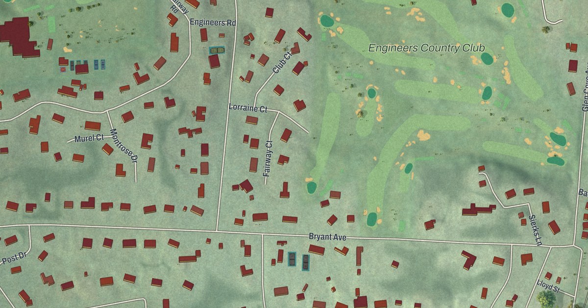
A detailed map of Roslyn Harbor, New York, showing every building in its true location, the roads by name, and shaded topographical relief.
Read More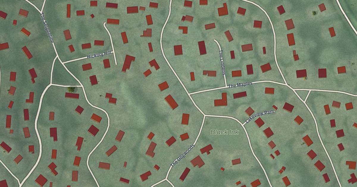
A detailed map of Roslyn Estates, New York, showing every building in its true location, the roads by name, and shaded topographical relief.
Read More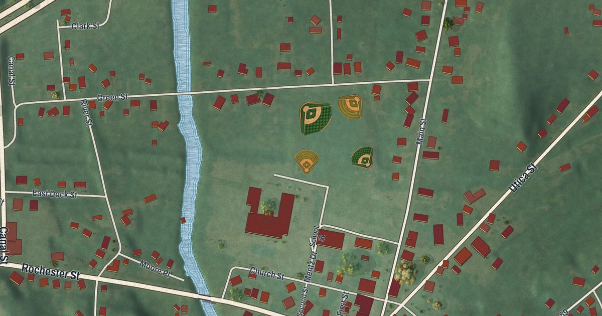
A detailed map of Port Byron, New York, showing every building in its true location, the roads by name, and shaded topographical relief.
Read More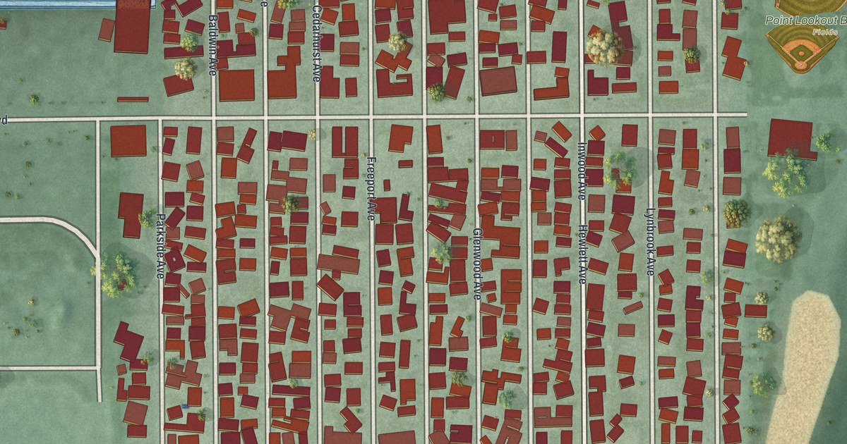
A detailed map of Point Lookout, New York, showing every building in its true location, the roads by name, and shaded topographical relief.
Read More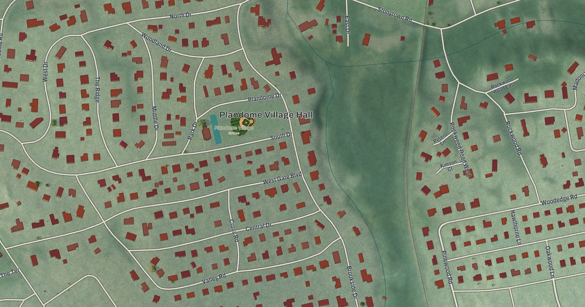
A detailed map of Plandome, New York, showing every building in its true location, the roads by name, and shaded topographical relief.
Read More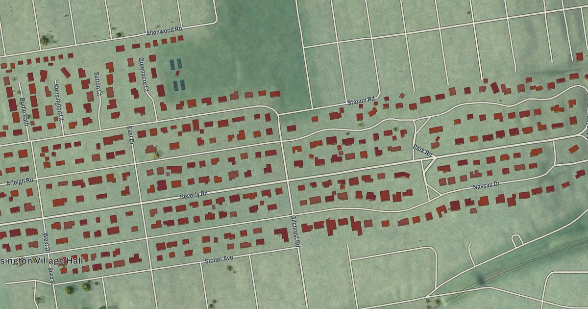
A detailed map of Kensington, New York, showing every building in its true location, the roads by name, and shaded topographical relief.
Read More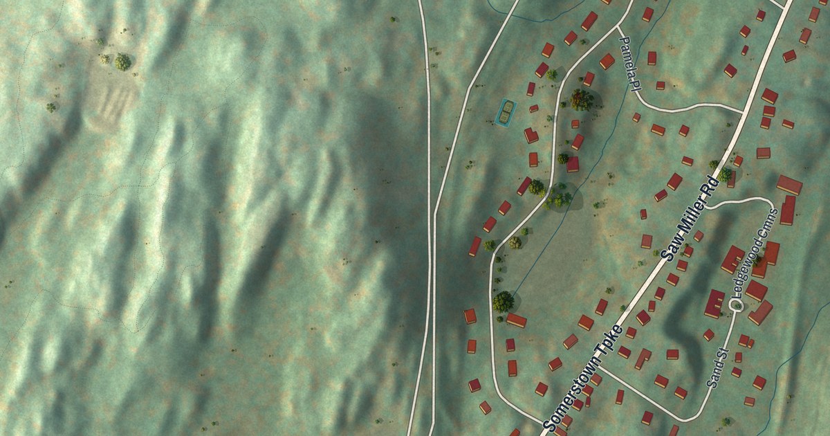
A detailed map of Millwood, New York, showing every building in its true location, the roads by name, and shaded topographical relief.
Read More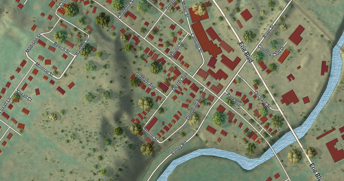
A detailed map of Oriskany, New York, showing every building in its true location, the roads by name, and shaded topographical relief.
Read More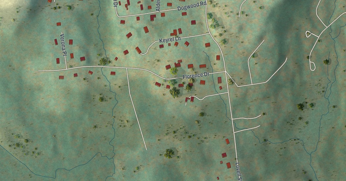
A detailed map of Lincolndale, New York, showing every building in its true location, the roads by name, and shaded topographical relief.
Read More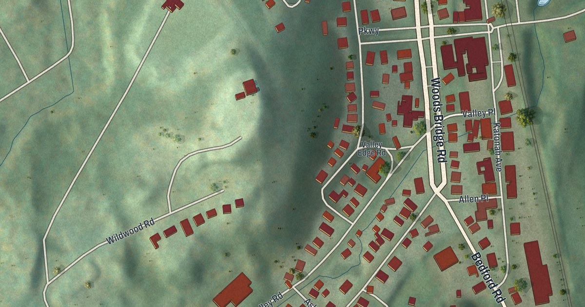
A detailed map of Katonah, New York, showing every building in its true location, the roads by name, and shaded topographical relief.
Read More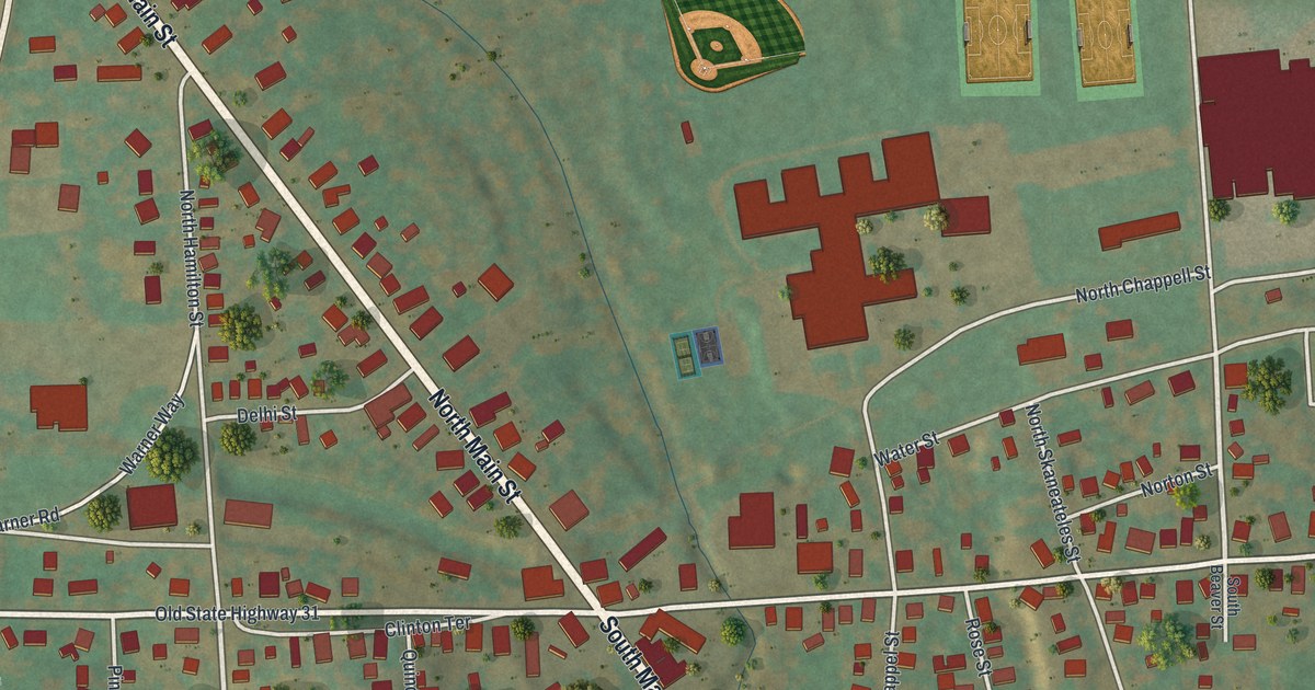
A detailed map of Jordan, New York, showing every building in its true location, the roads by name, and shaded topographical relief.
Read More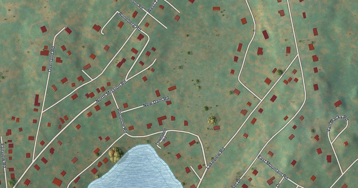
A detailed map of Hillside Lake, New York, showing every building in its true location, the roads by name, and shaded topographical relief.
Read More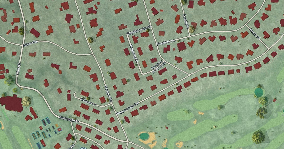
A detailed map of Hewlett Harbor, New York, showing every building in its true location, the roads by name, and shaded topographical relief.
Read More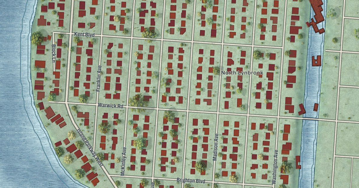
A detailed map of Harbor Isle, New York, showing every building in its true location, the roads by name, and shaded topographical relief.
Read More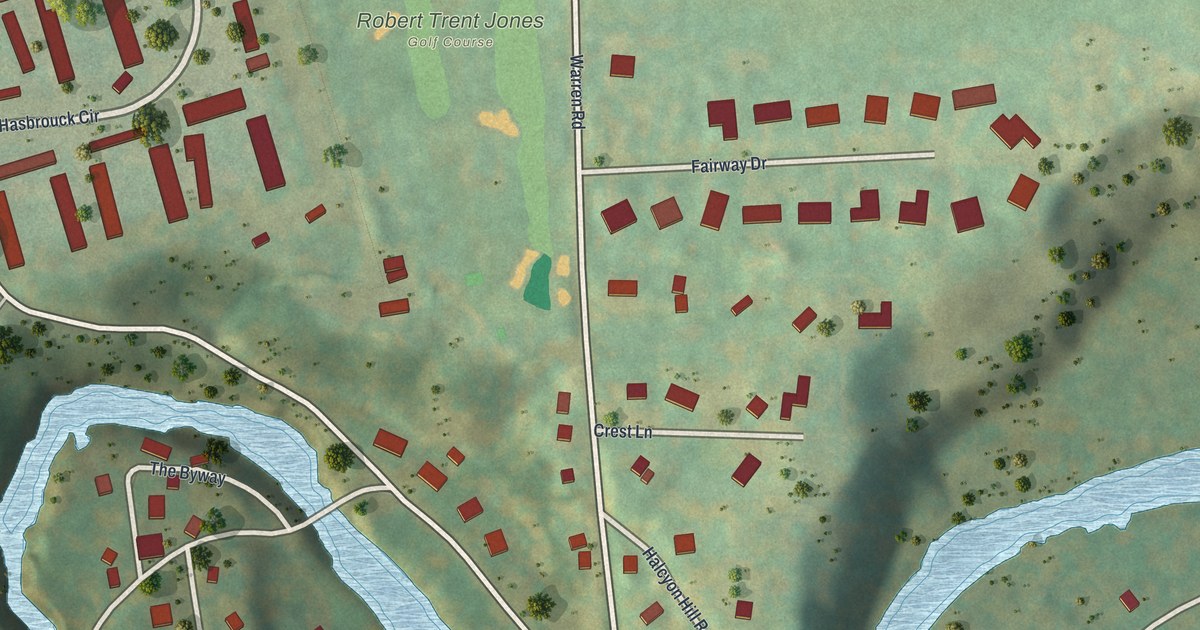
A detailed map of Forest Home, New York, showing every building in its true location, the roads by name, and shaded topographical relief.
Read More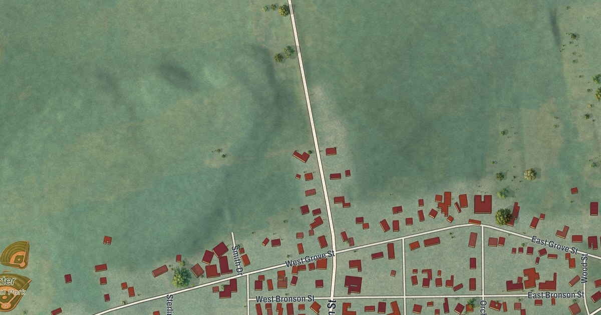
A detailed map of Dexter, New York, showing every building in its true location, the roads by name, and shaded topographical relief.
Read More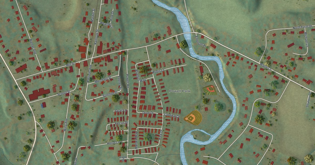
A detailed map of Dover Plains, New York, showing every building in its true location, the roads by name, and shaded topographical relief.
Read More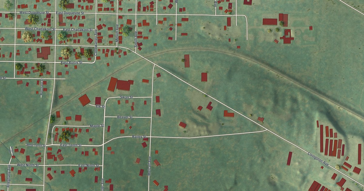
A detailed map of Celoron, New York, showing every building in its true location, the roads by name, and shaded topographical relief.
Read More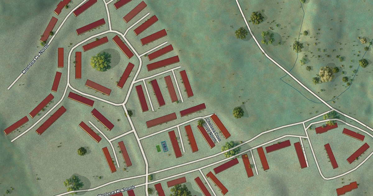
A detailed map of Chelsea Cove, New York, showing every building in its true location, the roads by name, and shaded topographical relief.
Read More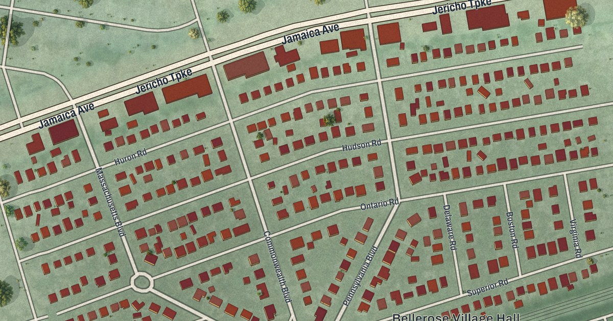
A detailed map of Bellerose, New York, showing every building in its true location, the roads by name, and shaded topographical relief.
Read More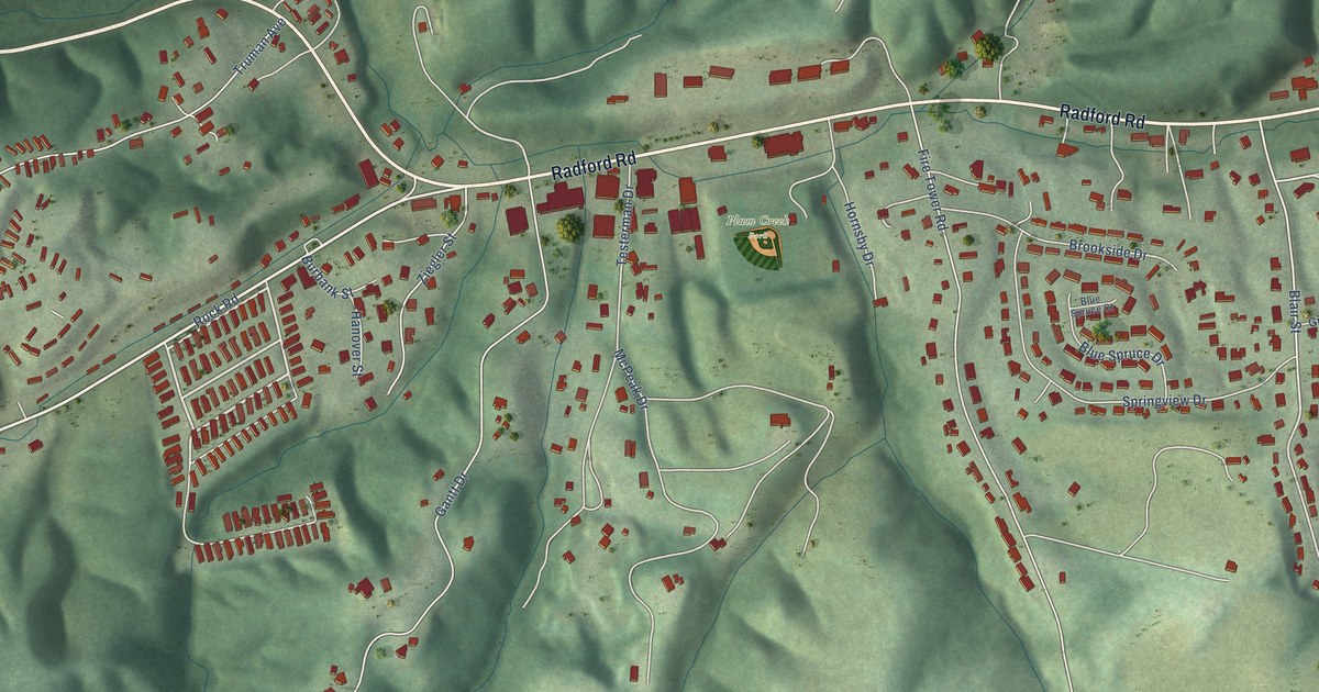
A detailed map of Plum Creek, Virginia, showing every building in its true location, the roads by name, and shaded topographical relief.
Read More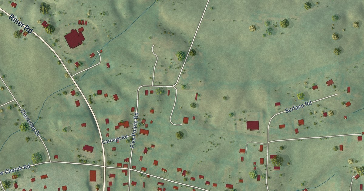
A detailed map of Riner, Virginia, showing every building in its true location, the roads by name, and shaded topographical relief.
Read More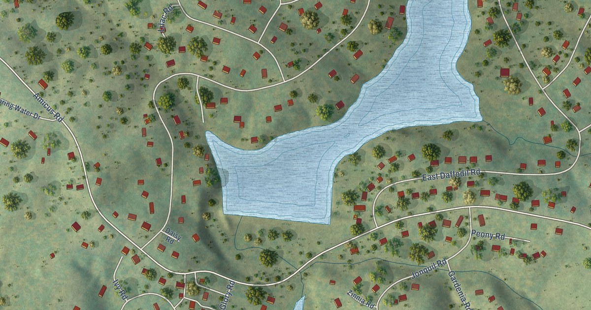
A detailed map of Twin Lakes, Virginia, showing every building in its true location, the roads by name, and shaded topographical relief.
Read More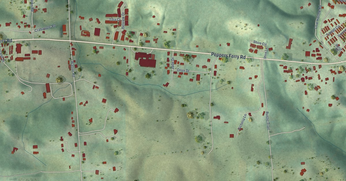
A detailed map of Belview, Virginia, showing every building in its true location, the roads by name, and shaded topographical relief.
Read More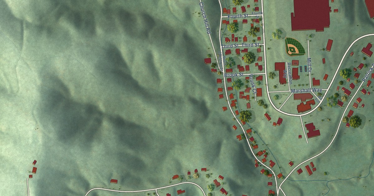
A detailed map of Fieldale, Virginia, showing every building in its true location, the roads by name, and shaded topographical relief.
Read More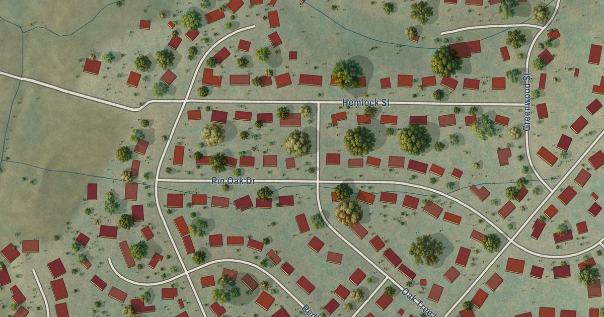
A detailed map of Belmont Estates, Virginia, showing every building in its true location, the roads by name, and shaded topographical relief.
Read More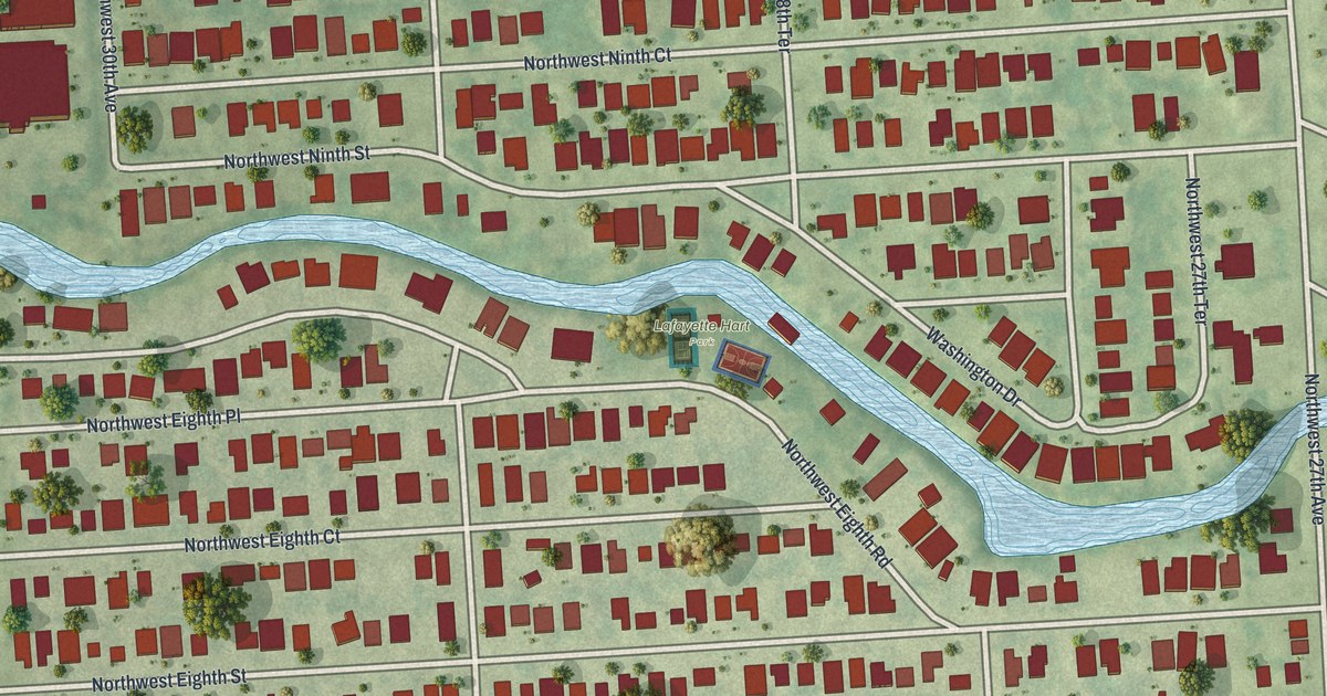
A detailed map of Washington Park, Florida, showing every building in its true location, the roads by name, and shaded topographical relief.
Read More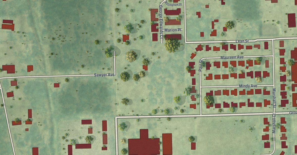
A detailed map of Tropical Park, Florida, showing every building in its true location, the roads by name, and shaded topographical relief.
Read More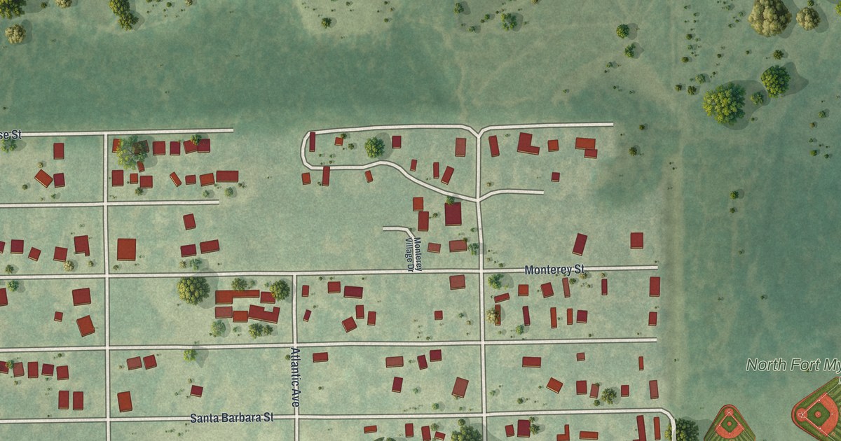
A detailed map of Palmona Park, Florida, showing every building in its true location, the roads by name, and shaded topographical relief.
Read More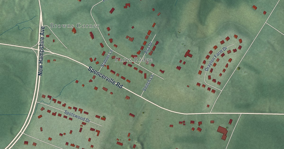
A detailed map of Spencerville, Maryland, showing every building in its true location, the roads by name, and shaded topographical relief.
Read More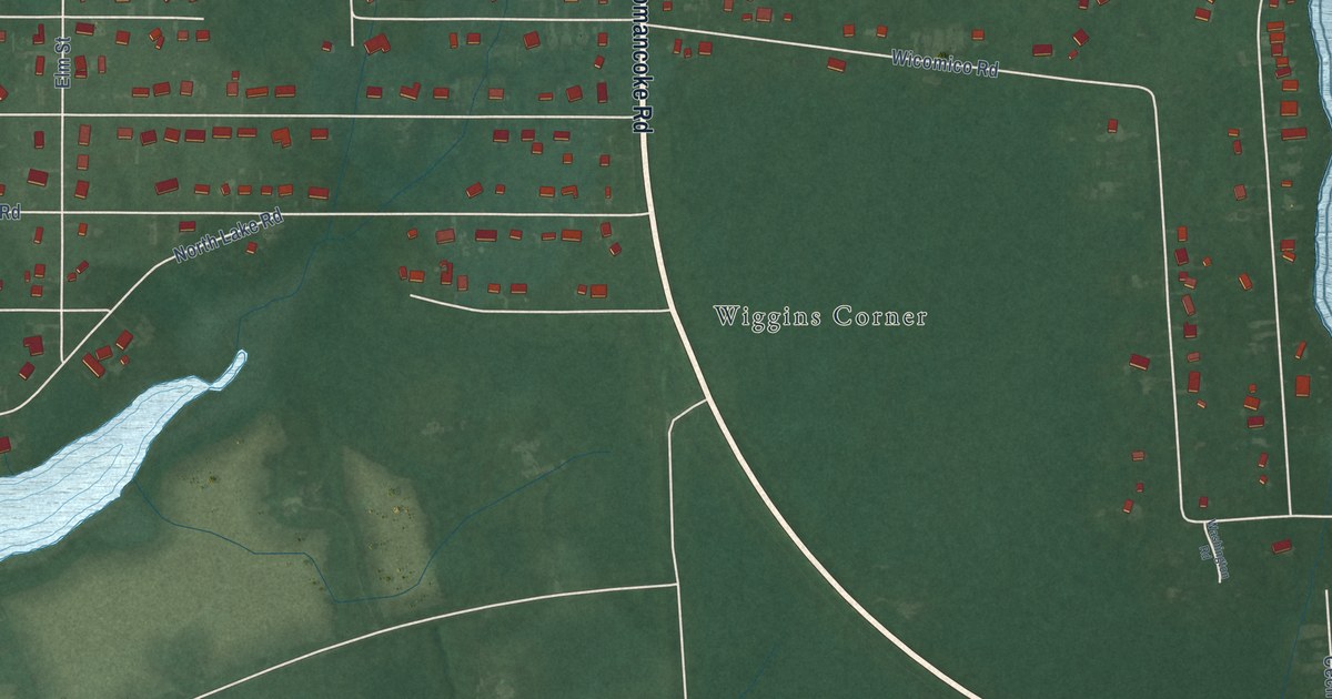
A detailed map of Romancoke, Maryland, showing every building in its true location, the roads by name, and shaded topographical relief.
Read More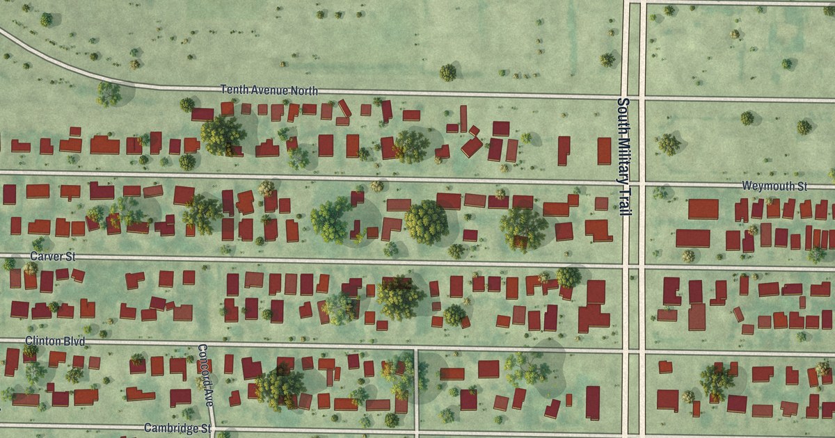
A detailed map of Kenwood Estates, Florida, showing every building in its true location, the roads by name, and shaded topographical relief.
Read More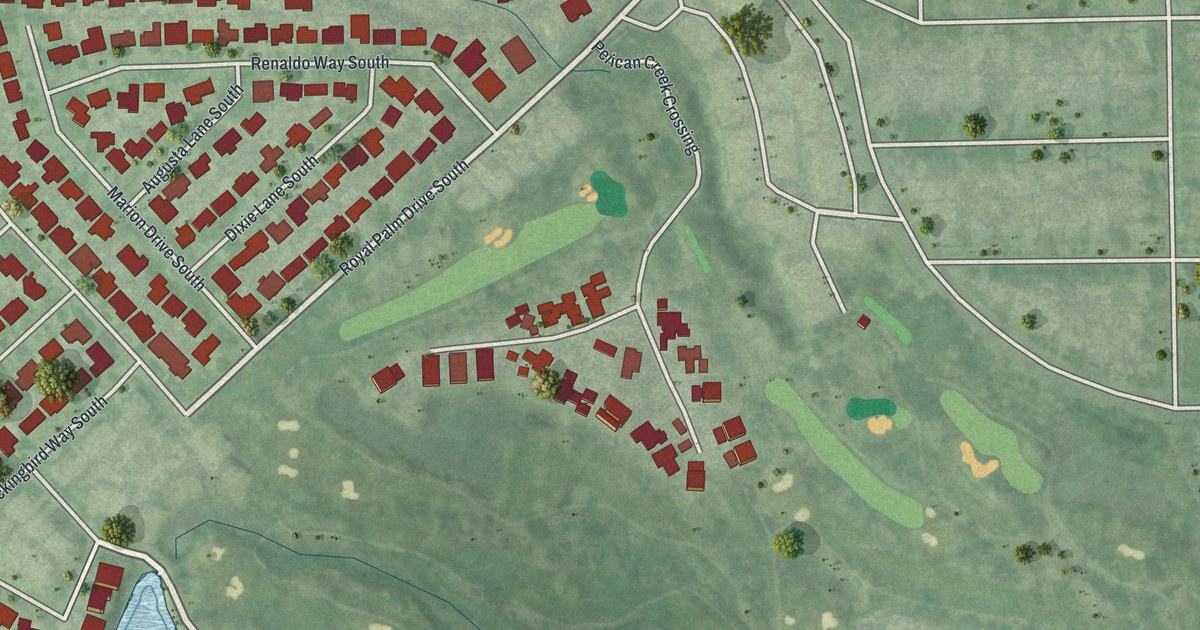
A detailed map of Bear Creek, Florida, showing every building in its true location, the roads by name, and shaded topographical relief.
Read More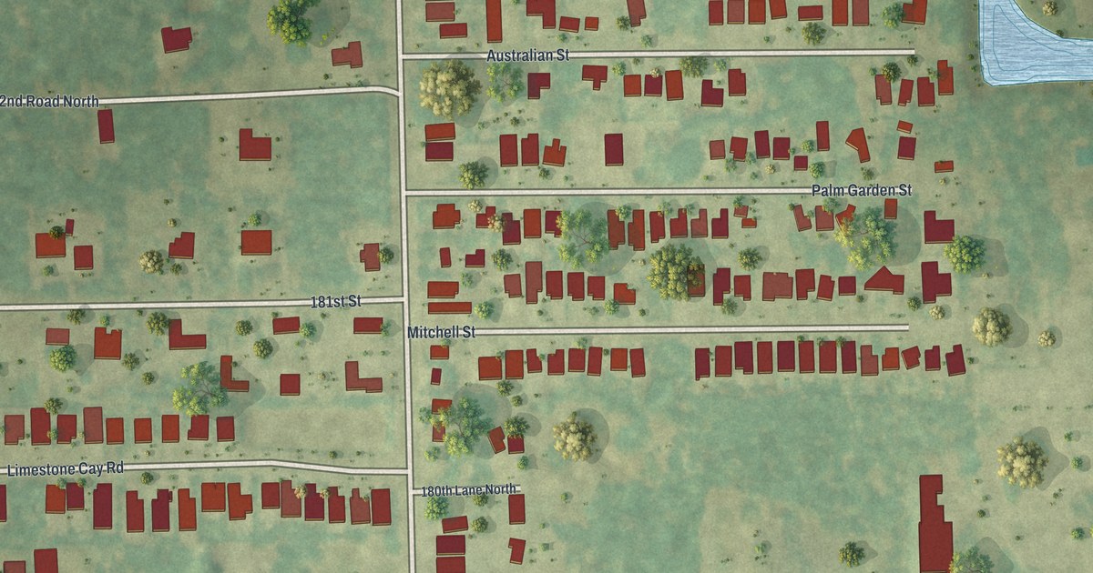
A detailed map of Limestone Creek, Florida, showing every building in its true location, the roads by name, and shaded topographical relief.
Read More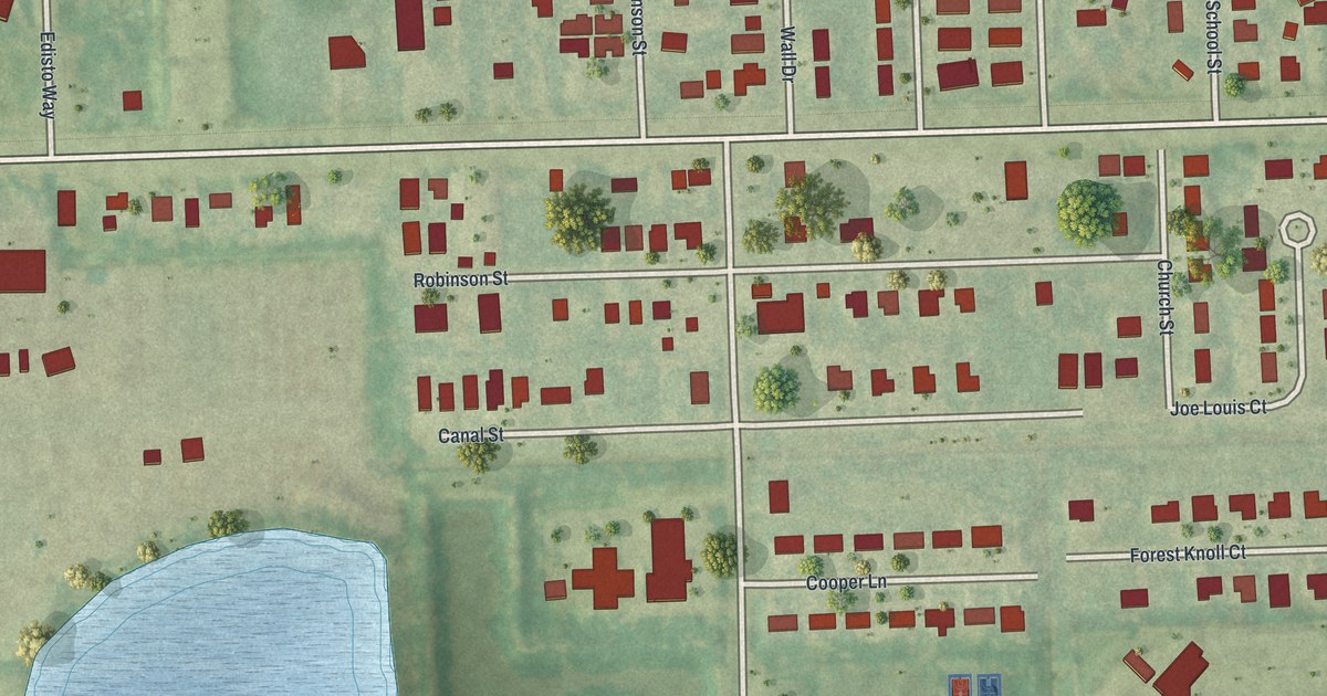
A detailed map of Harlem Heights, Florida, showing every building in its true location, the roads by name, and shaded topographical relief.
Read More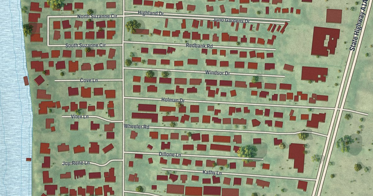
A detailed map of Juno Ridge, Florida, showing every building in its true location, the roads by name, and shaded topographical relief.
Read More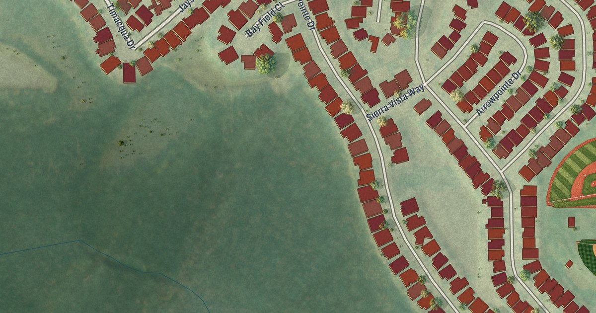
A detailed map of Key Vista, Florida, showing every building in its true location, the roads by name, and shaded topographical relief.
Read More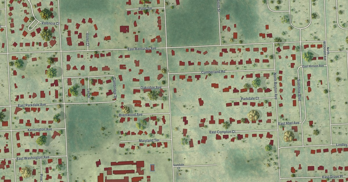
A detailed map of North DeLand, Florida, showing every building in its true location, the roads by name, and shaded topographical relief.
Read More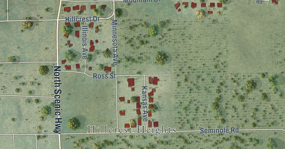
A detailed map of Babson Park, Florida, showing every building in its true location, the roads by name, and shaded topographical relief.
Read More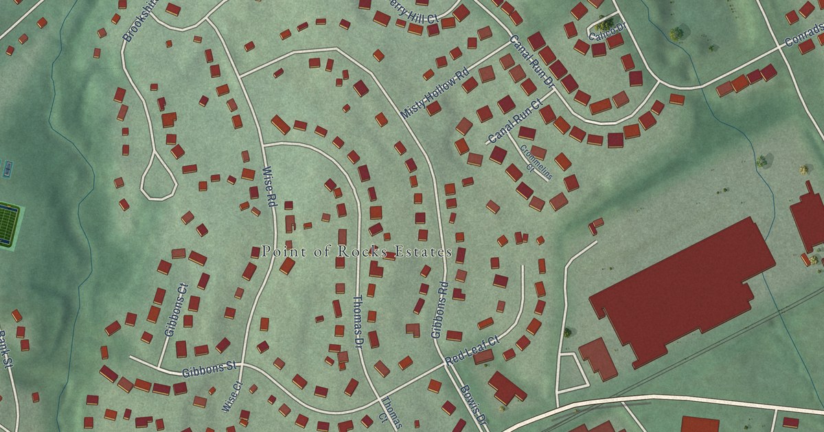
A detailed map of Point of Rocks, Maryland, showing every building in its true location, the roads by name, and shaded topographical relief.
Read More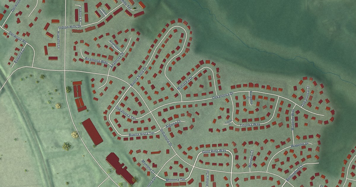
A detailed map of Derwood, Maryland, showing every building in its true location, the roads by name, and shaded topographical relief.
Read More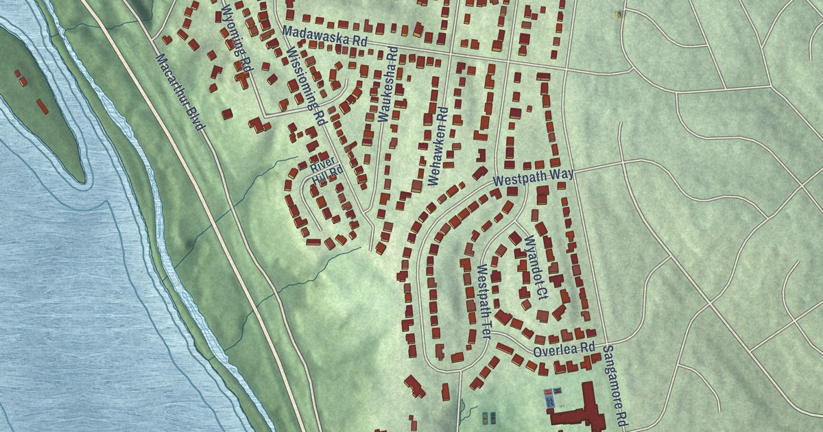
A detailed map of Brookmont, Maryland, showing every building in its true location, the roads by name, and shaded topographical relief.
Read More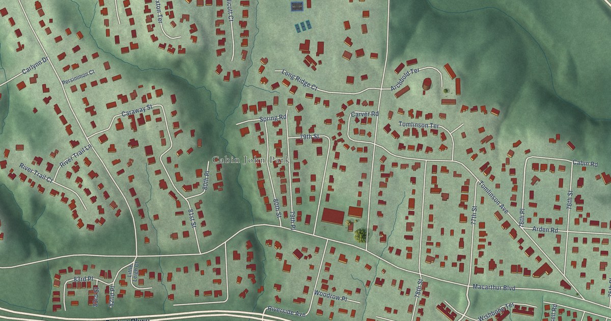
A detailed map of Cabin John, Maryland, showing every building in its true location, the roads by name, and shaded topographical relief.
Read More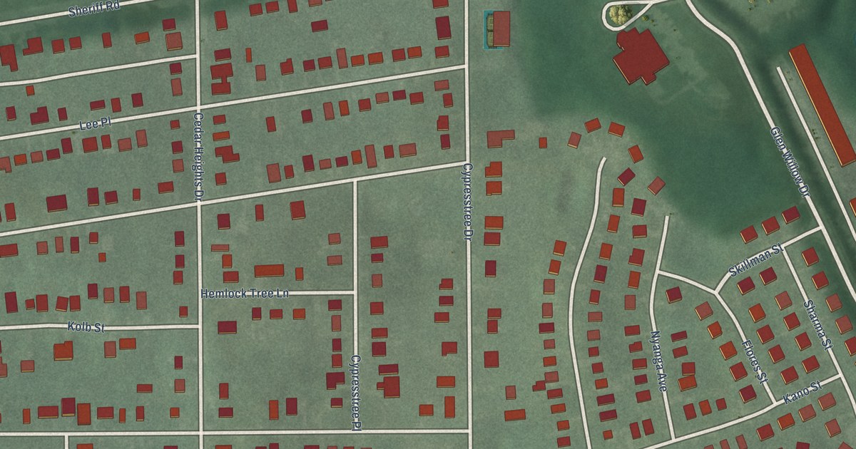
A detailed map of Cedar Heights, Maryland, showing every building in its true location, the roads by name, and shaded topographical relief.
Read More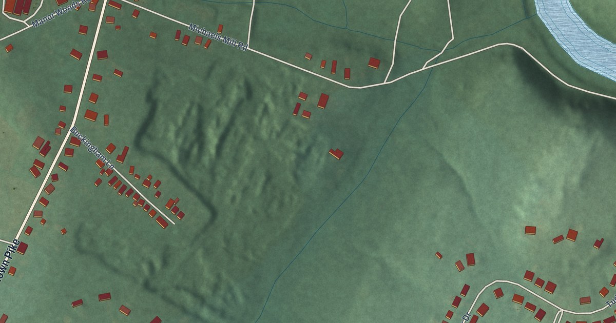
A detailed map of Buckeystown, Maryland, showing every building in its true location, the roads by name, and shaded topographical relief.
Read More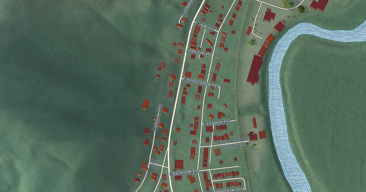
A detailed map of Bowling Green, Maryland, showing every building in its true location, the roads by name, and shaded topographical relief.
Read More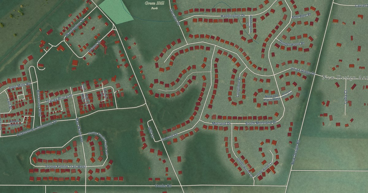
A detailed map of Adamstown, Maryland, showing every building in its true location, the roads by name, and shaded topographical relief.
Read More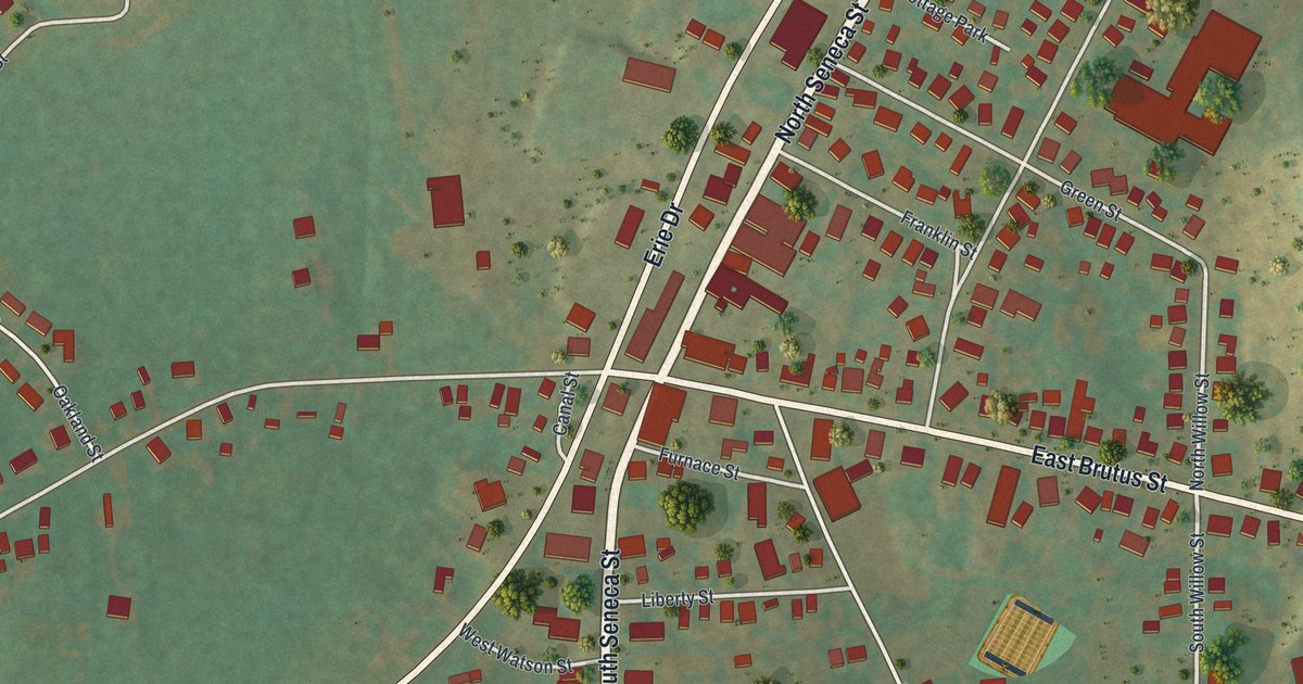
A detailed map of Weedsport, New York, showing every building in its true location, the roads by name, and shaded topographical relief.
Read More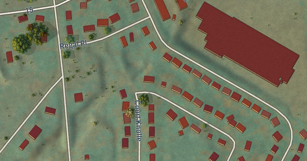
A detailed map of Washington Mills, New York, showing every building in its true location, the roads by name, and shaded topographical relief.
Read More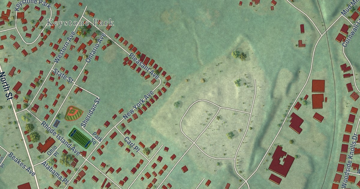
A detailed map of Washington Heights, New York, showing every building in its true location, the roads by name, and shaded topographical relief.
Read More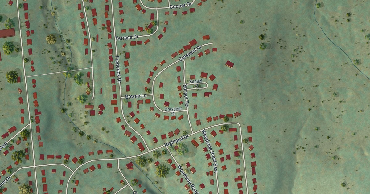
A detailed map of Tioga Terrace, New York, showing every building in its true location, the roads by name, and shaded topographical relief.
Read More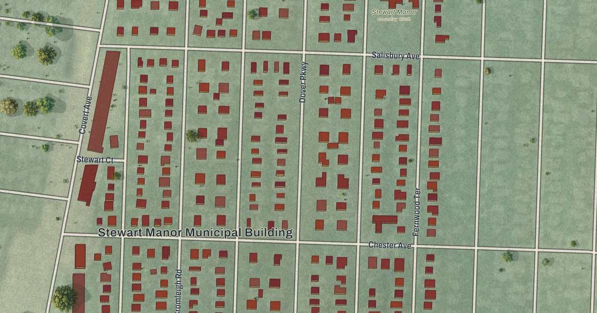
A detailed map of Stewart Manor, New York, showing every building in its true location, the roads by name, and shaded topographical relief.
Read More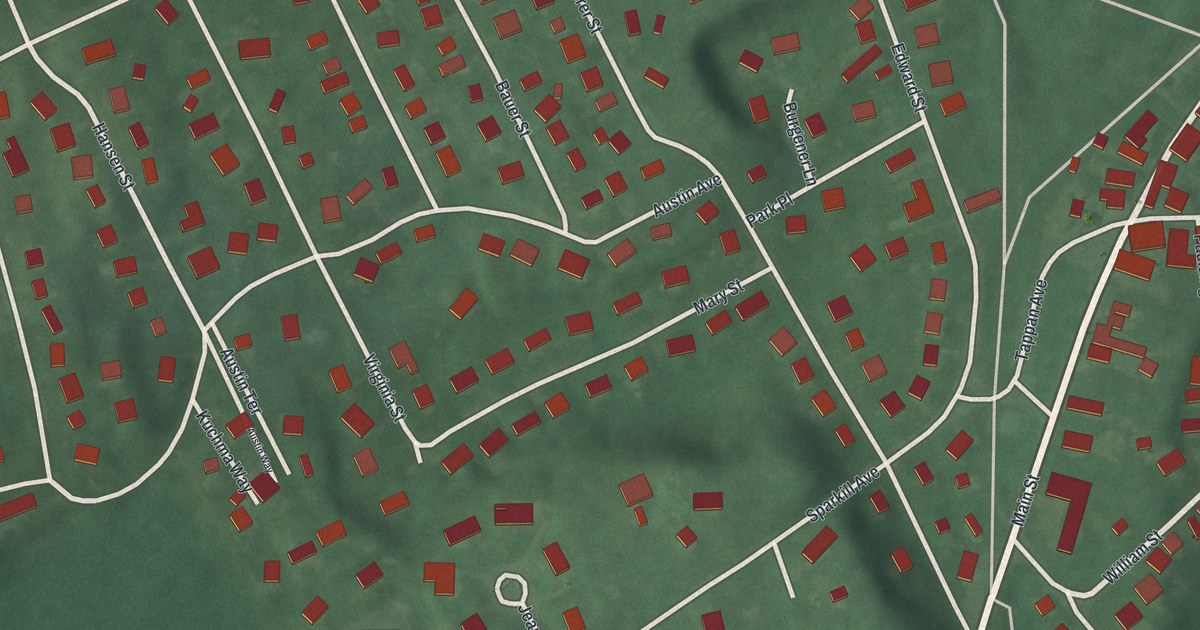
A detailed map of Sparkill, New York, showing every building in its true location, the roads by name, and shaded topographical relief.
Read More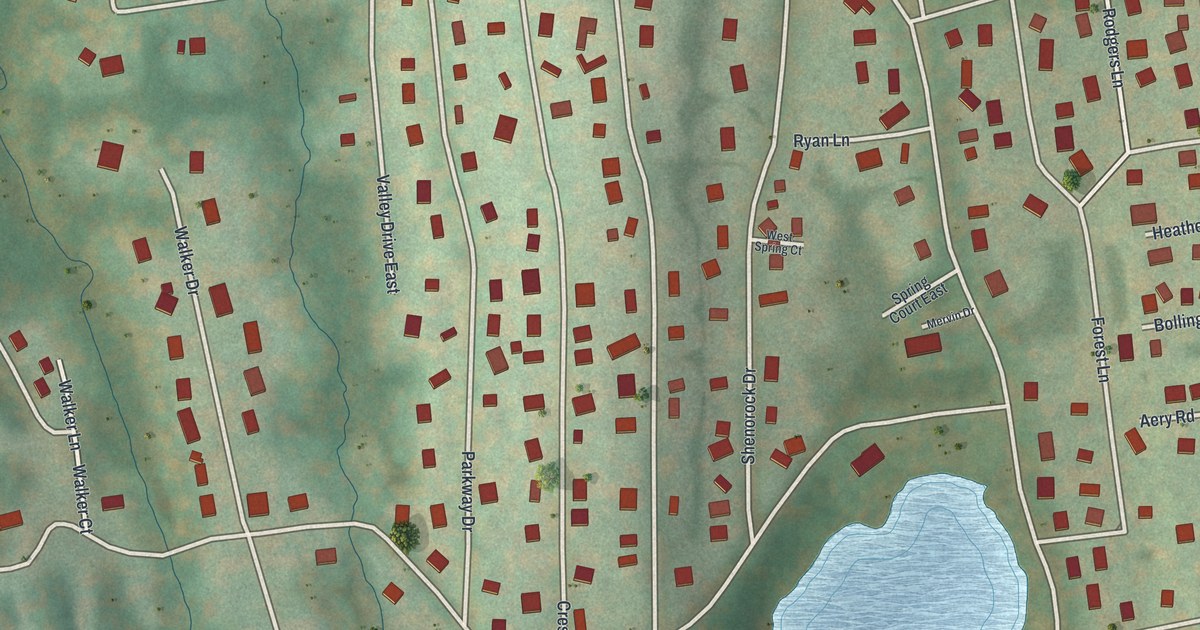
A detailed map of Shenorock, New York, showing every building in its true location, the roads by name, and shaded topographical relief.
Read More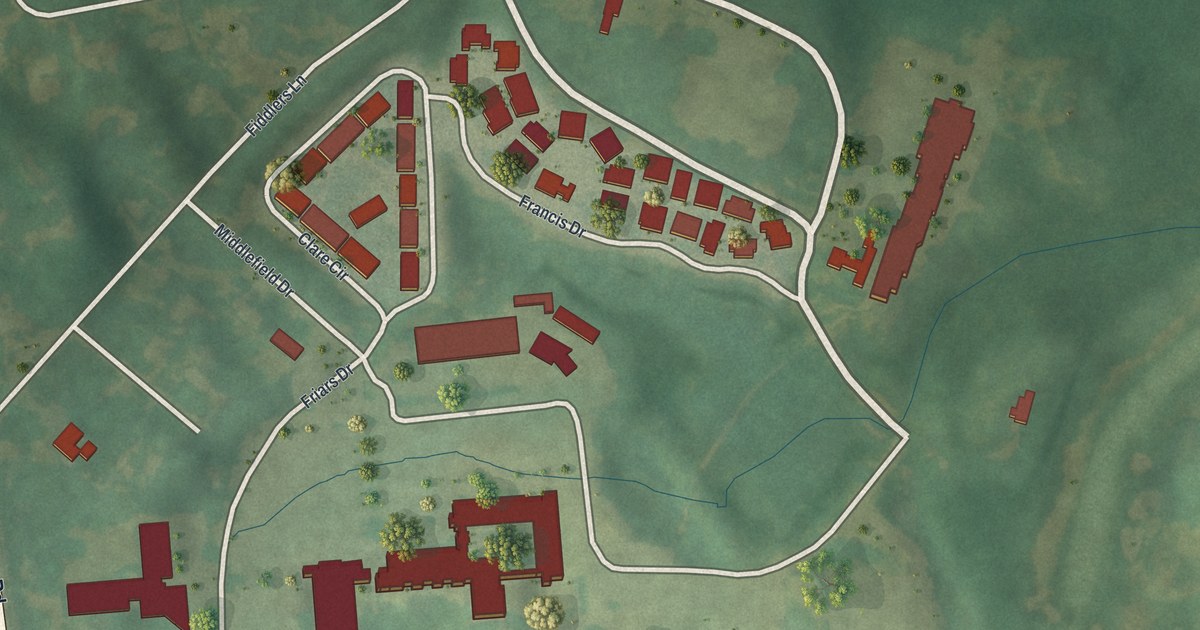
A detailed map of Siena College, New York, showing every building in its true location, the roads by name, and shaded topographical relief.
Read More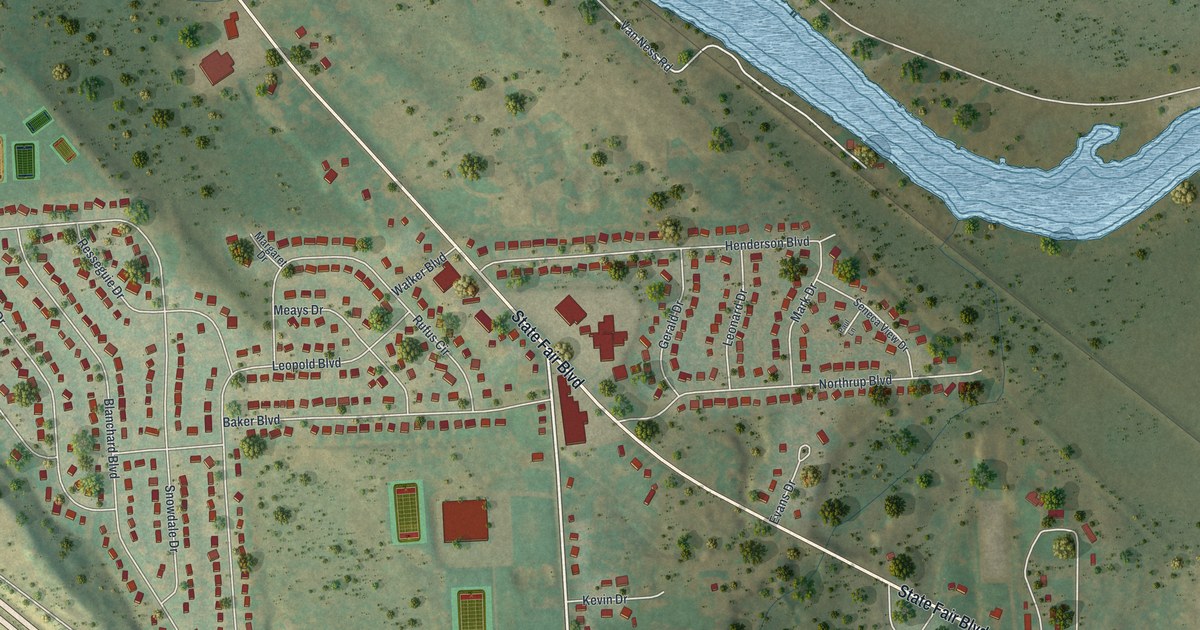
A detailed map of Seneca Knolls, New York, showing every building in its true location, the roads by name, and shaded topographical relief.
Read More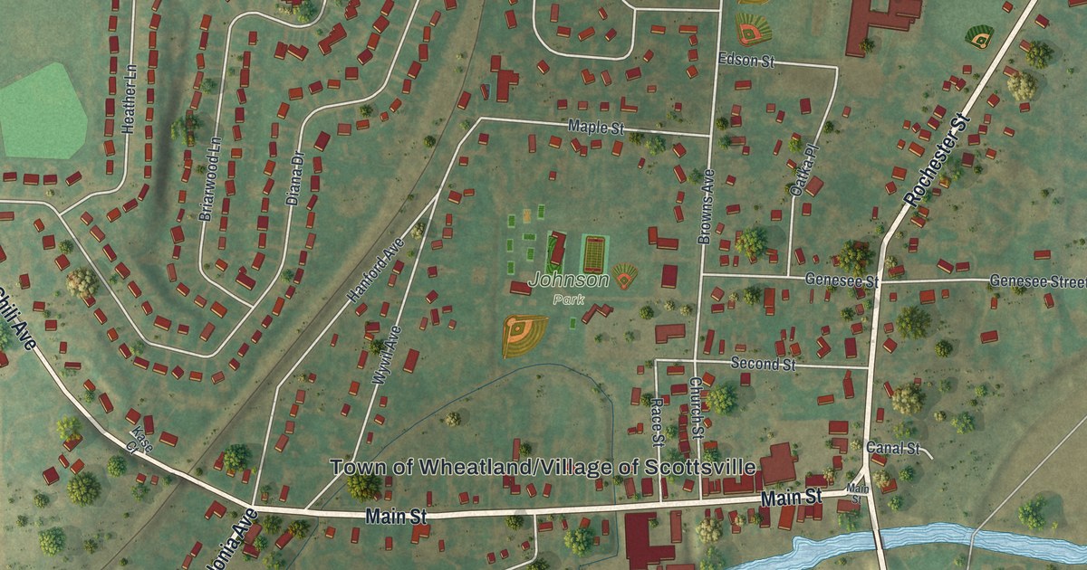
A detailed map of Scottsville, New York, showing every building in its true location, the roads by name, and shaded topographical relief.
Read More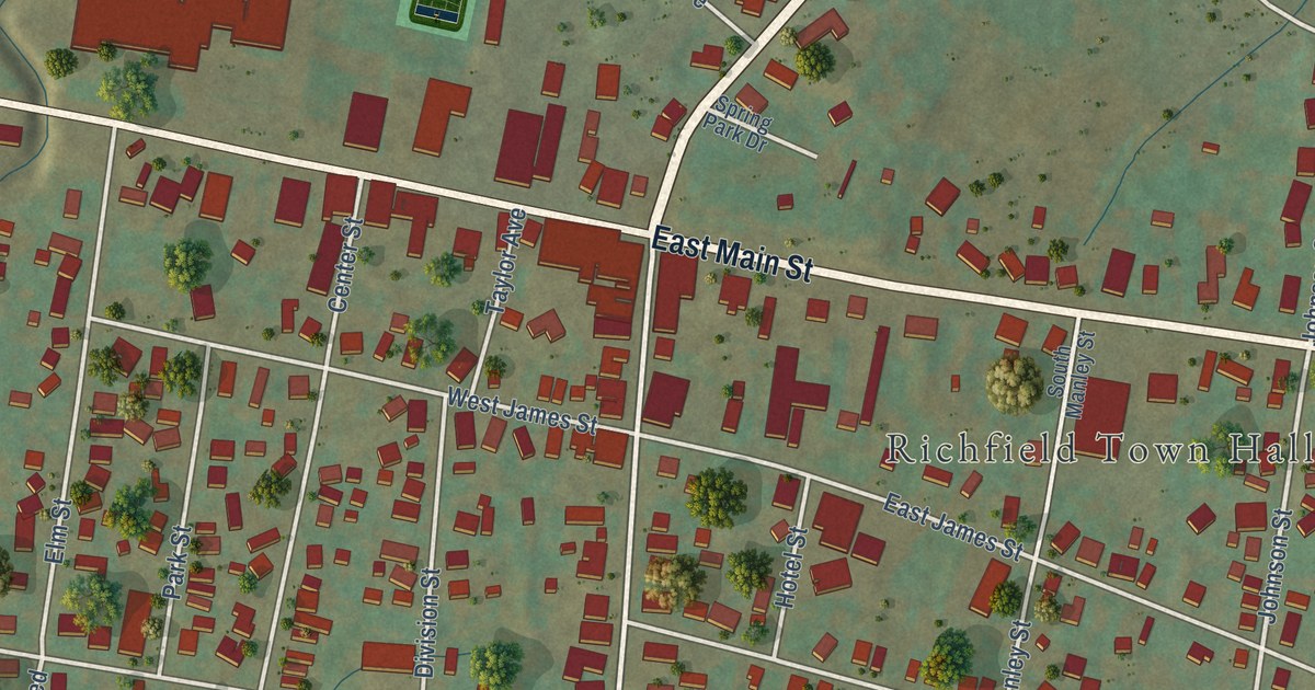
A detailed map of Richfield Springs, New York, showing every building in its true location, the roads by name, and shaded topographical relief.
Read More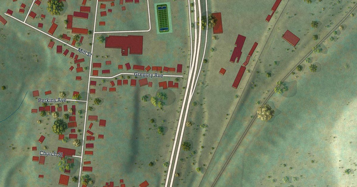
A detailed map of Port Dickinson, New York, showing every building in its true location, the roads by name, and shaded topographical relief.
Read More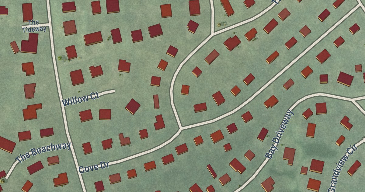
A detailed map of Plandome Heights, New York, showing every building in its true location, the roads by name, and shaded topographical relief.
Read More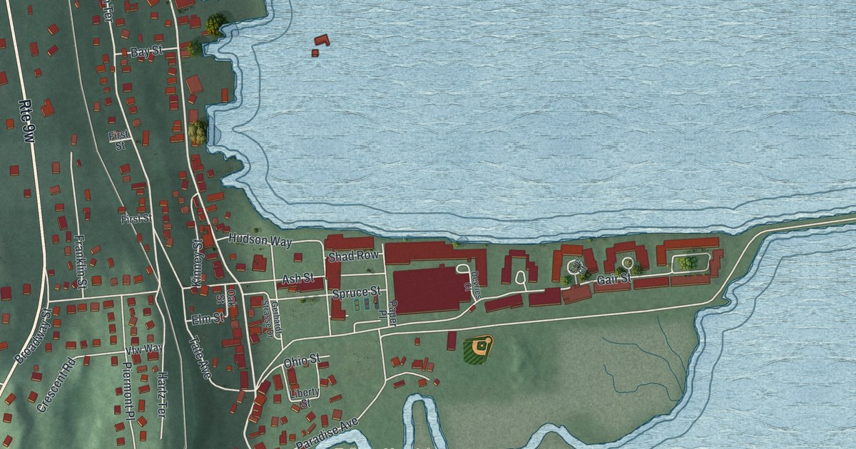
A detailed map of Piermont, New York, showing every building in its true location, the roads by name, and shaded topographical relief.
Read More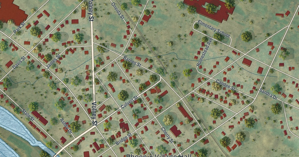
A detailed map of Phoenix, New York, showing every building in its true location, the roads by name, and shaded topographical relief.
Read More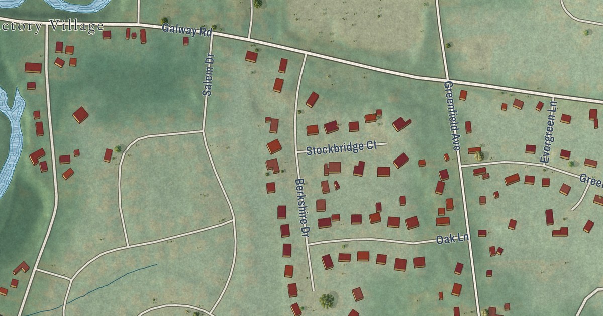
A detailed map of North Ballston Spa, New York, showing every building in its true location, the roads by name, and shaded topographical relief.
Read More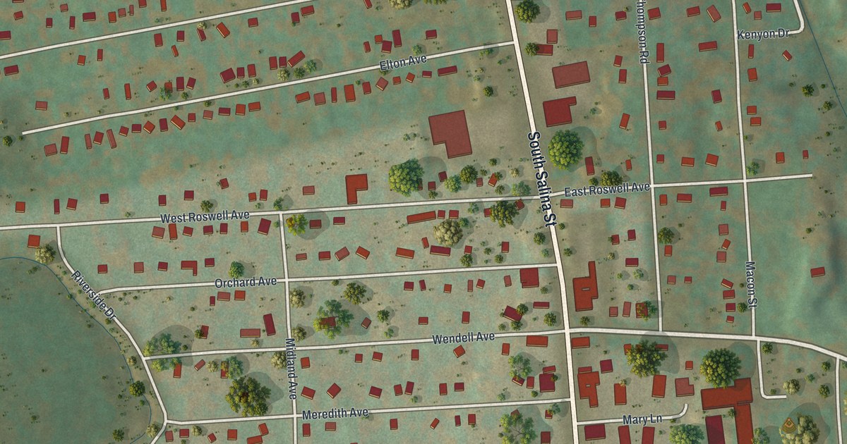
A detailed map of Nedrow, New York, showing every building in its true location, the roads by name, and shaded topographical relief.
Read More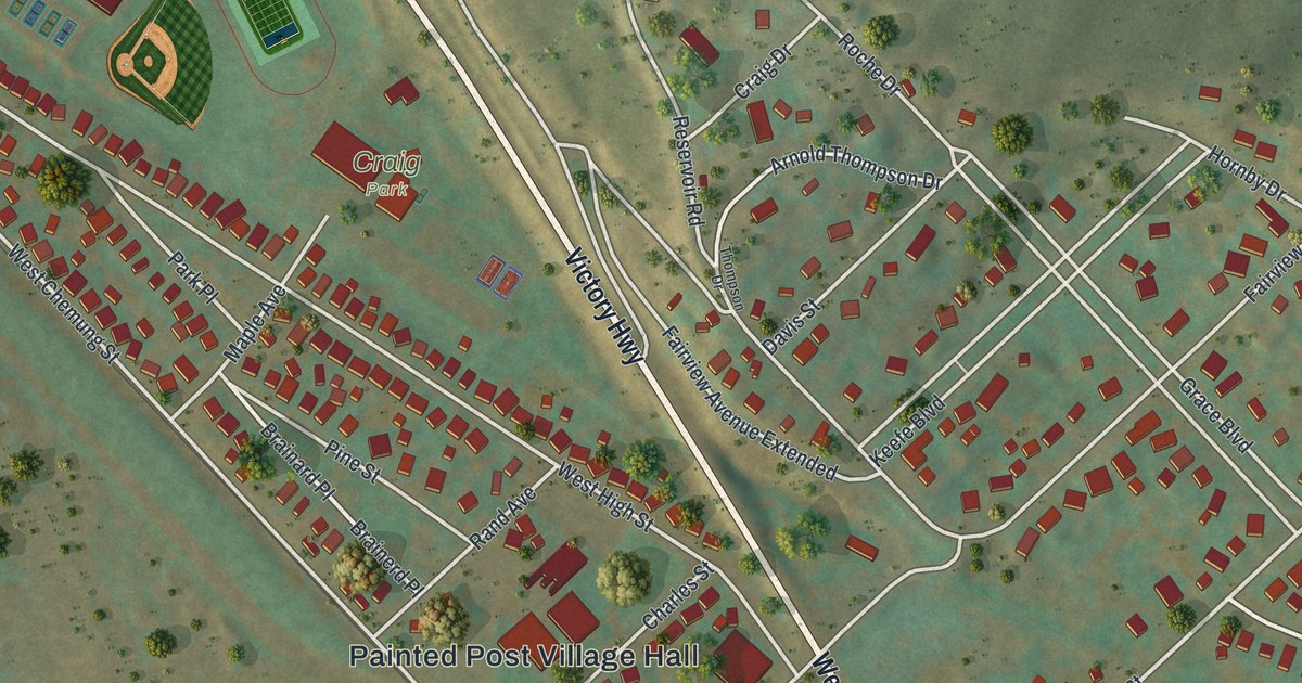
A detailed map of Painted Post, New York, showing every building in its true location, the roads by name, and shaded topographical relief.
Read More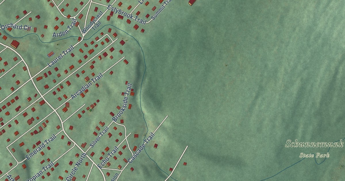
A detailed map of Mountain Lodge Park, New York, showing every building in its true location, the roads by name, and shaded topographical relief.
Read More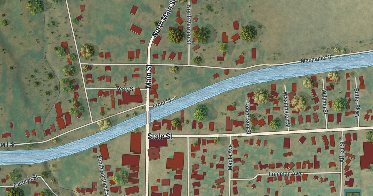
A detailed map of Middleport, New York, showing every building in its true location, the roads by name, and shaded topographical relief.
Read More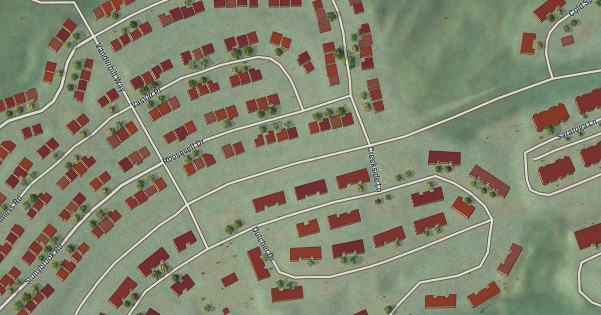
A detailed map of Merritt Park, New York, showing every building in its true location, the roads by name, and shaded topographical relief.
Read More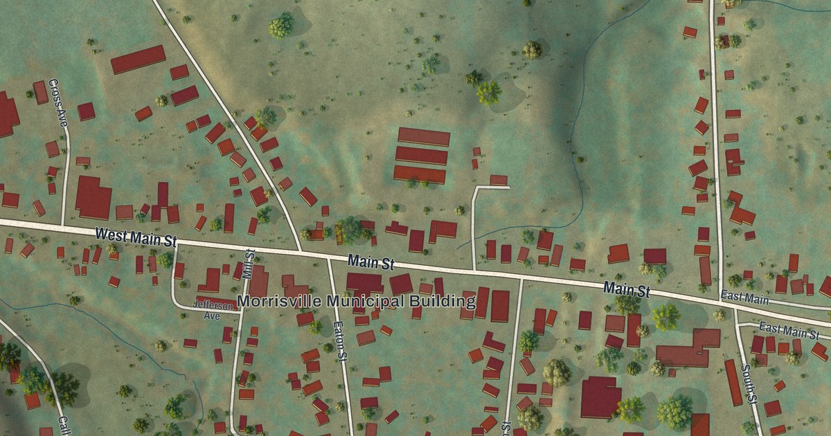
A detailed map of Morrisville, New York, showing every building in its true location, the roads by name, and shaded topographical relief.
Read More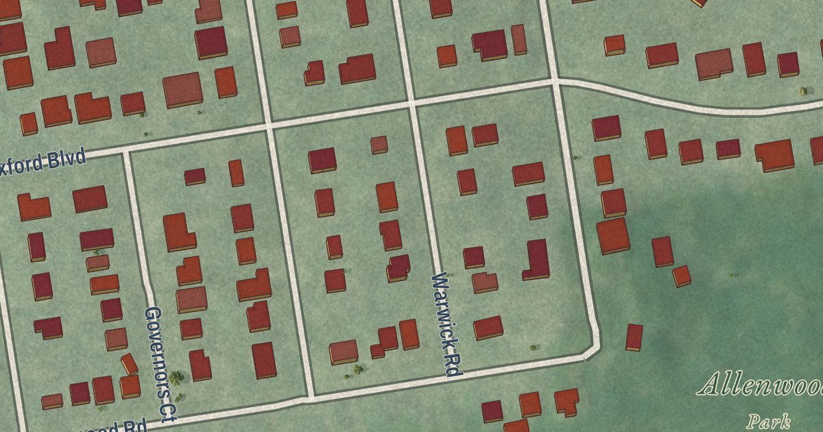
A detailed map of Great Neck Gardens, New York, showing every building in its true location, the roads by name, and shaded topographical relief.
Read More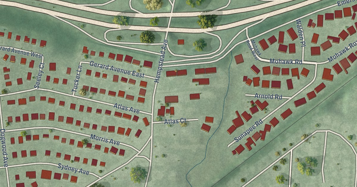
A detailed map of Malverne Park Oaks, New York, showing every building in its true location, the roads by name, and shaded topographical relief.
Read More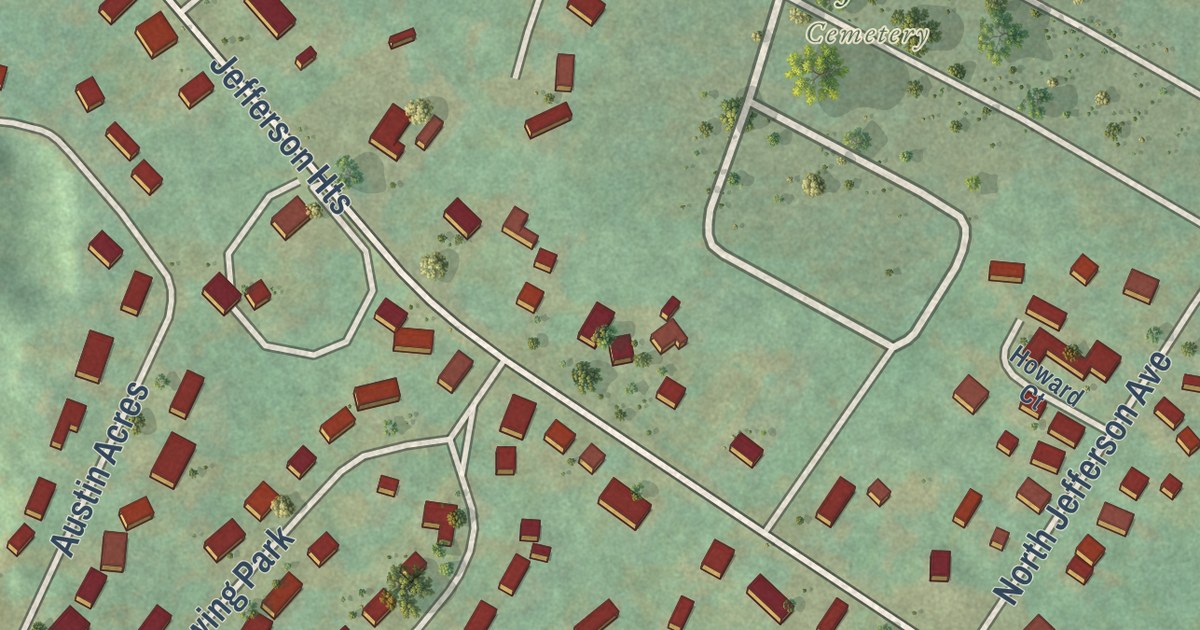
A detailed map of Jefferson Heights, New York, showing every building in its true location, the roads by name, and shaded topographical relief.
Read More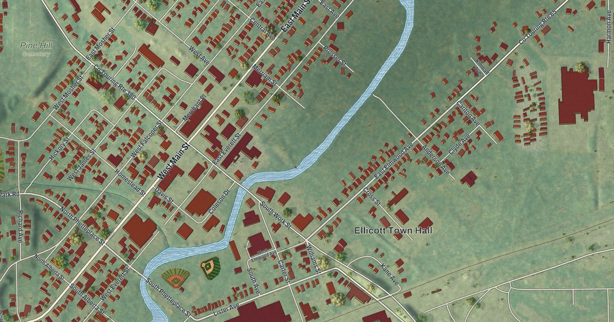
A detailed map of Falconer, New York, showing every building in its true location, the roads by name, and shaded topographical relief.
Read More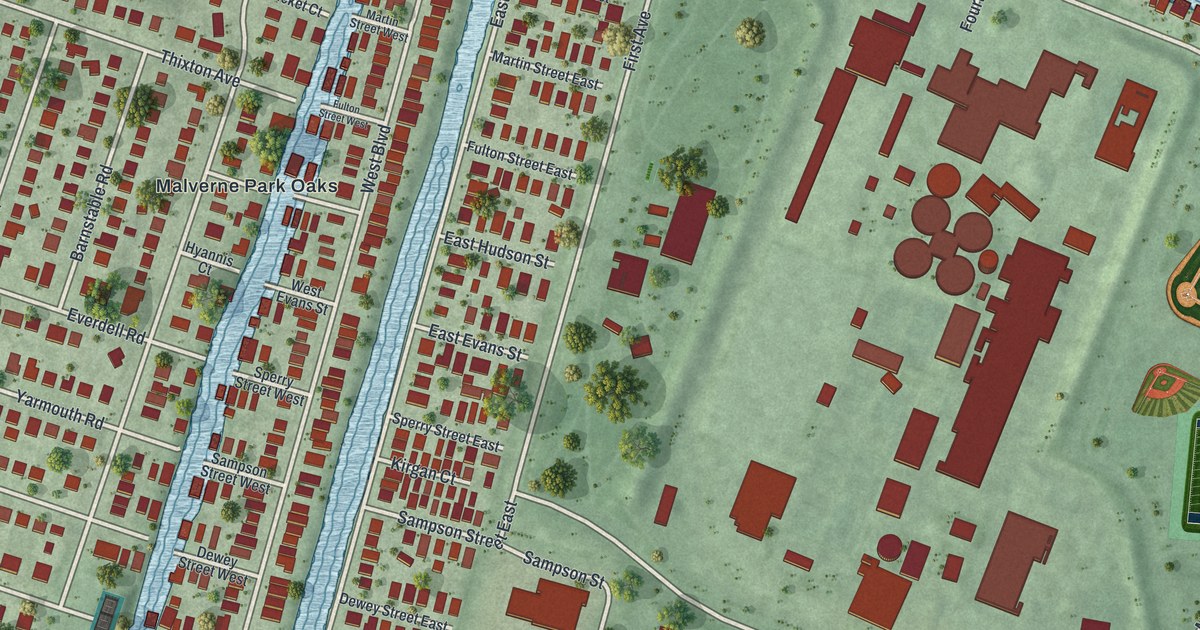
A detailed map of Bay Park, New York, showing every building in its true location, the roads by name, and shaded topographical relief.
Read More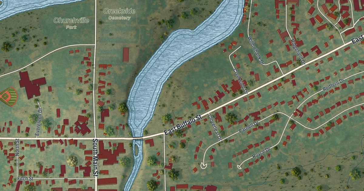
A detailed map of Churchville, New York, showing every building in its true location, the roads by name, and shaded topographical relief.
Read More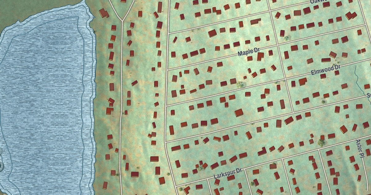
A detailed map of Brewster Hill, New York, showing every building in its true location, the roads by name, and shaded topographical relief.
Read More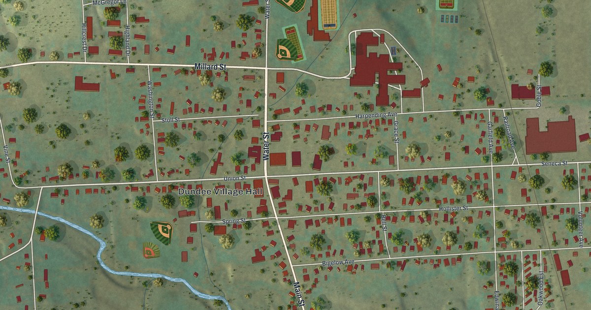
A detailed map of Dundee, New York, showing every building in its true location, the roads by name, and shaded topographical relief.
Read More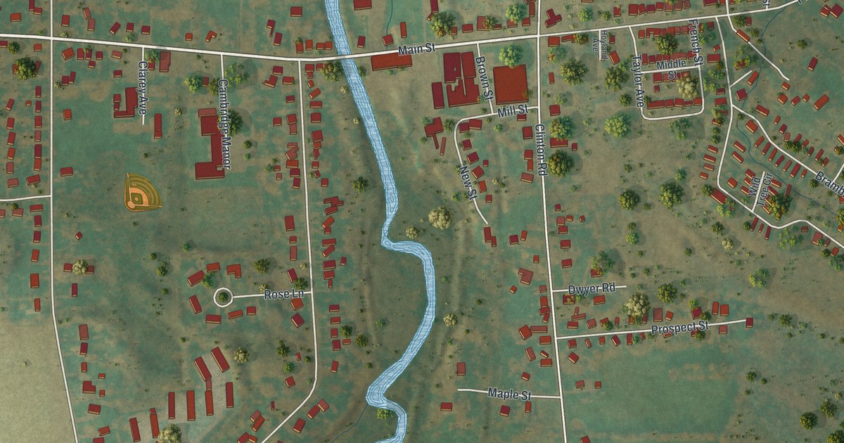
A detailed map of Clark Mills, New York, showing every building in its true location, the roads by name, and shaded topographical relief.
Read More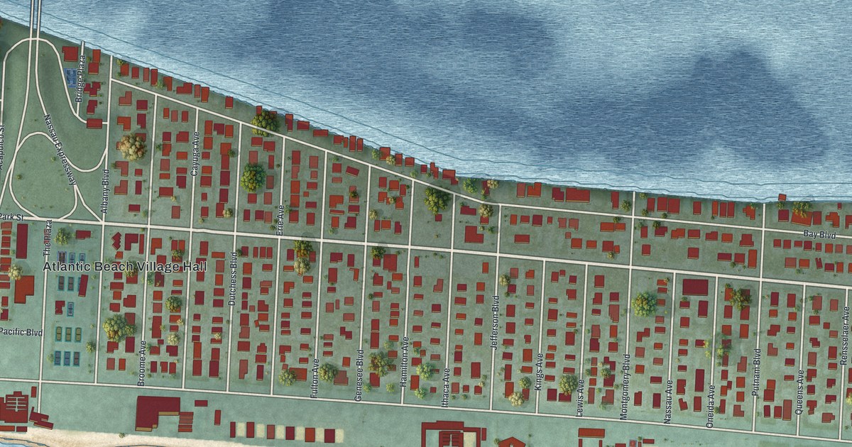
A detailed map of Atlantic Beach, New York, showing every building in its true location, the roads by name, and shaded topographical relief.
Read More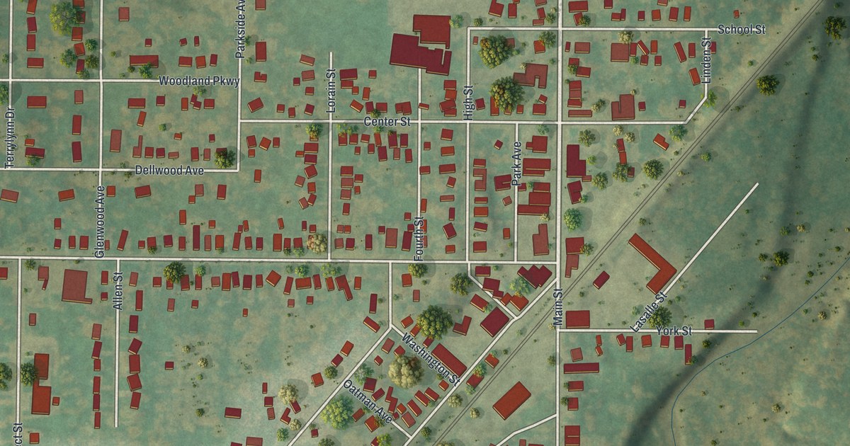
A detailed map of Angola, New York, showing every building in its true location, the roads by name, and shaded topographical relief.
Read More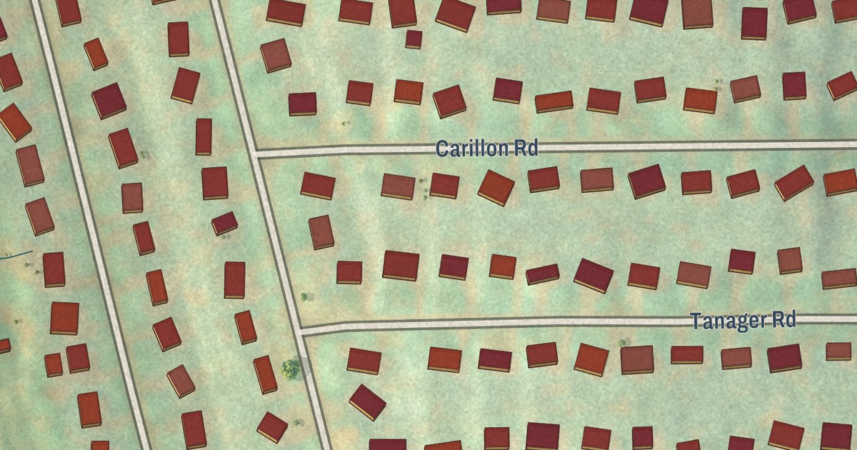
A detailed map of Brewster Heights, New York, showing every building in its true location, the roads by name, and shaded topographical relief.
Read More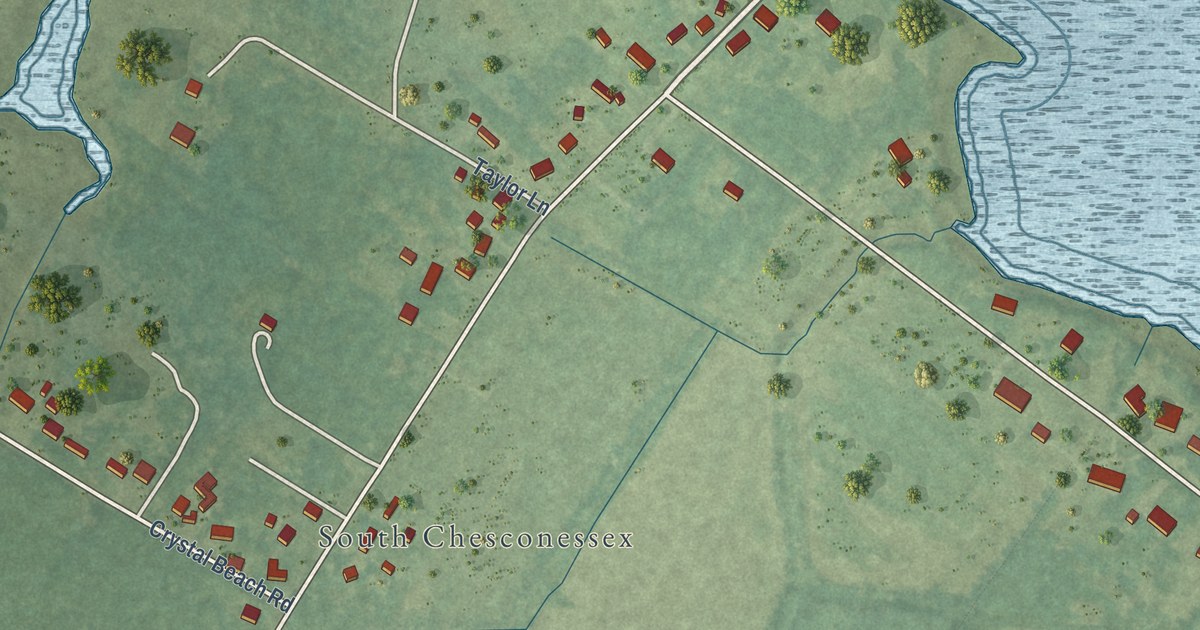
A detailed map of Southside Chesconessex, Virginia, showing every building in its true location, the roads by name, and shaded topographical relief.
Read More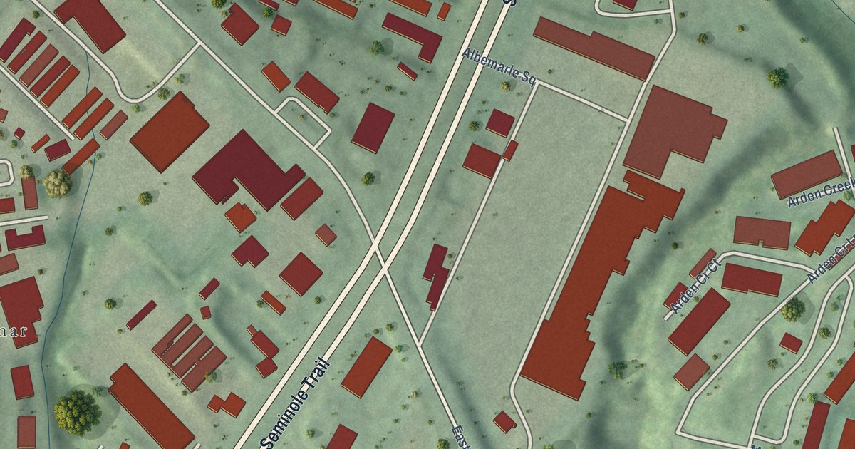
A detailed map of Rio, Virginia, showing every building in its true location, the roads by name, and shaded topographical relief.
Read More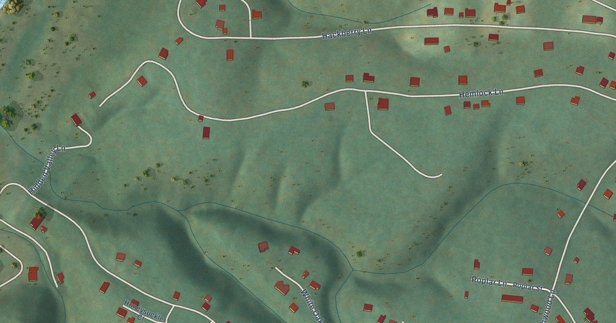
A detailed map of Shenandoah Retreat, Virginia, showing every building in its true location, the roads by name, and shaded topographical relief.
Read More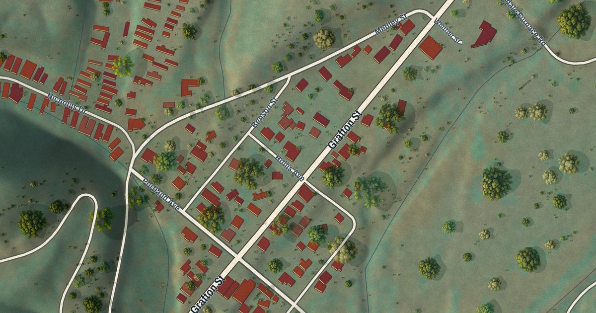
A detailed map of Cliftondale Park, Virginia, showing every building in its true location, the roads by name, and shaded topographical relief.
Read More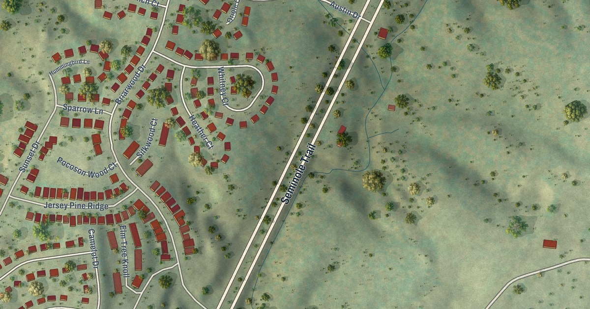
A detailed map of Piney Mountain, Virginia, showing every building in its true location, the roads by name, and shaded topographical relief.
Read More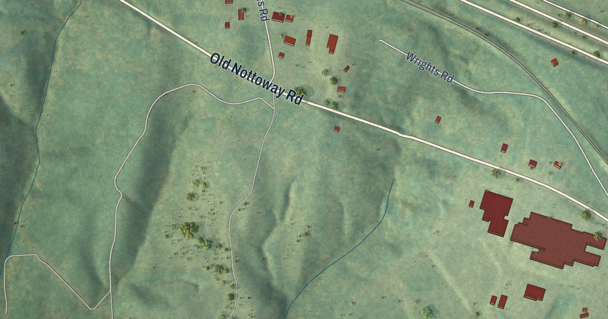
A detailed map of Nottoway Court House, Virginia, showing every building in its true location, the roads by name, and shaded topographical relief.
Read More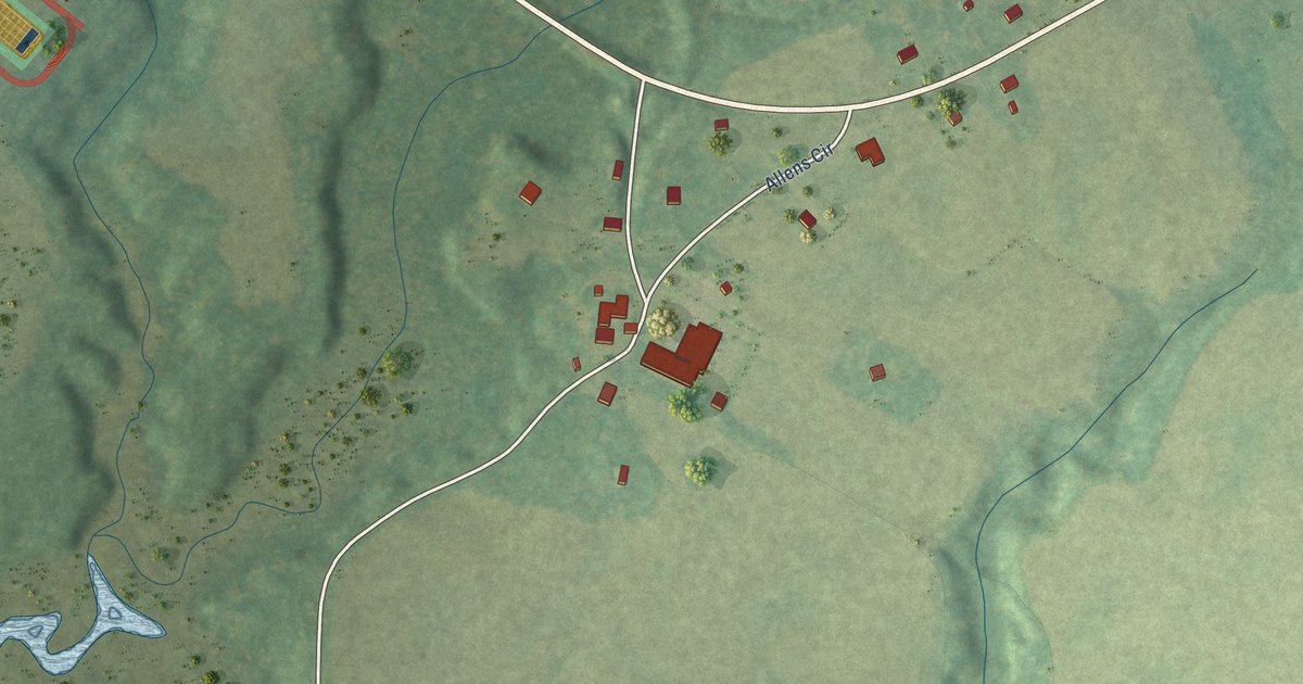
A detailed map of King and Queen Court House, Virginia, showing every building in its true location, the roads by name, and shaded topographical relief.
Read More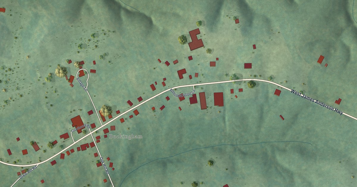
A detailed map of Buckingham Courthouse, Virginia, showing every building in its true location, the roads by name, and shaded topographical relief.
Read More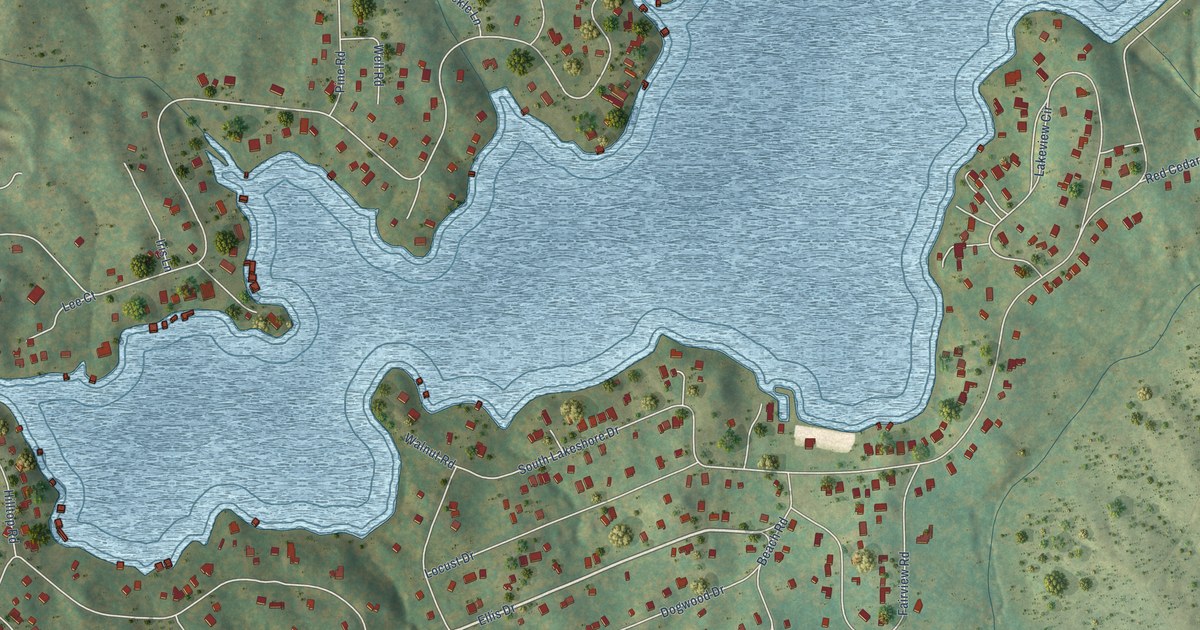
A detailed map of Blue Ridge Shores, Virginia, showing every building in its true location, the roads by name, and shaded topographical relief.
Read More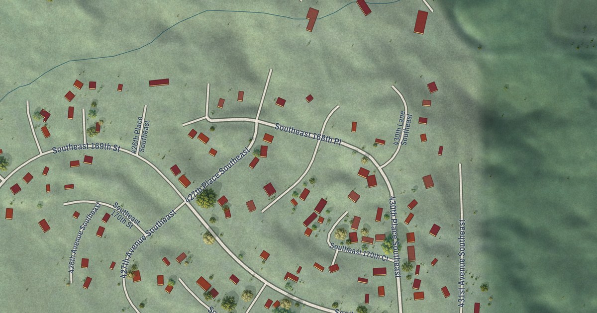
A detailed map of Wilderness Rim, Washington, showing every building in its true location, the roads by name, and shaded topographical relief.
Read More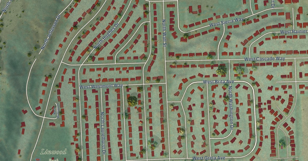
A detailed map of Town and Country, Washington, showing every building in its true location, the roads by name, and shaded topographical relief.
Read More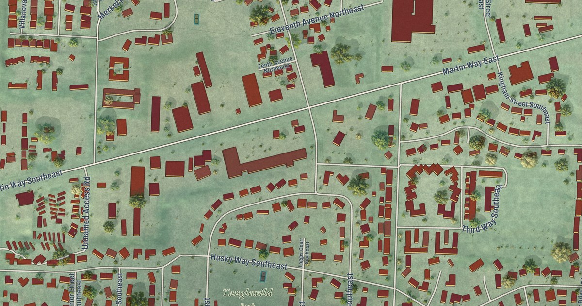
A detailed map of Tanglewilde, Washington, showing every building in its true location, the roads by name, and shaded topographical relief.
Read More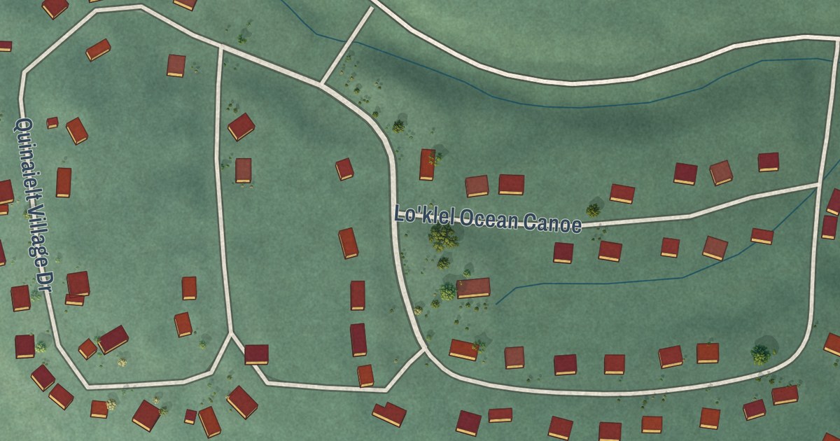
A detailed map of Qui-nai-elt Village, Washington, showing every building in its true location, the roads by name, and shaded topographical relief.
Read More















