Detailed Map of Northwest Stanwood, Washington
A detailed map of Northwest Stanwood, Washington, showing every building in its true location, the roads by name, and shaded topographical relief.
Read More
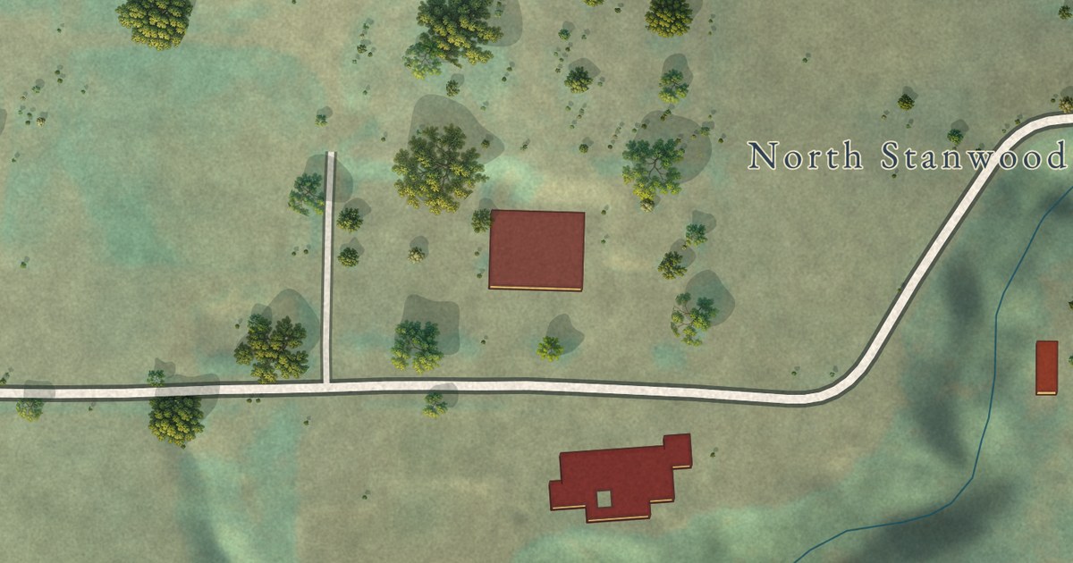
A detailed map of Northwest Stanwood, Washington, showing every building in its true location, the roads by name, and shaded topographical relief.
Read More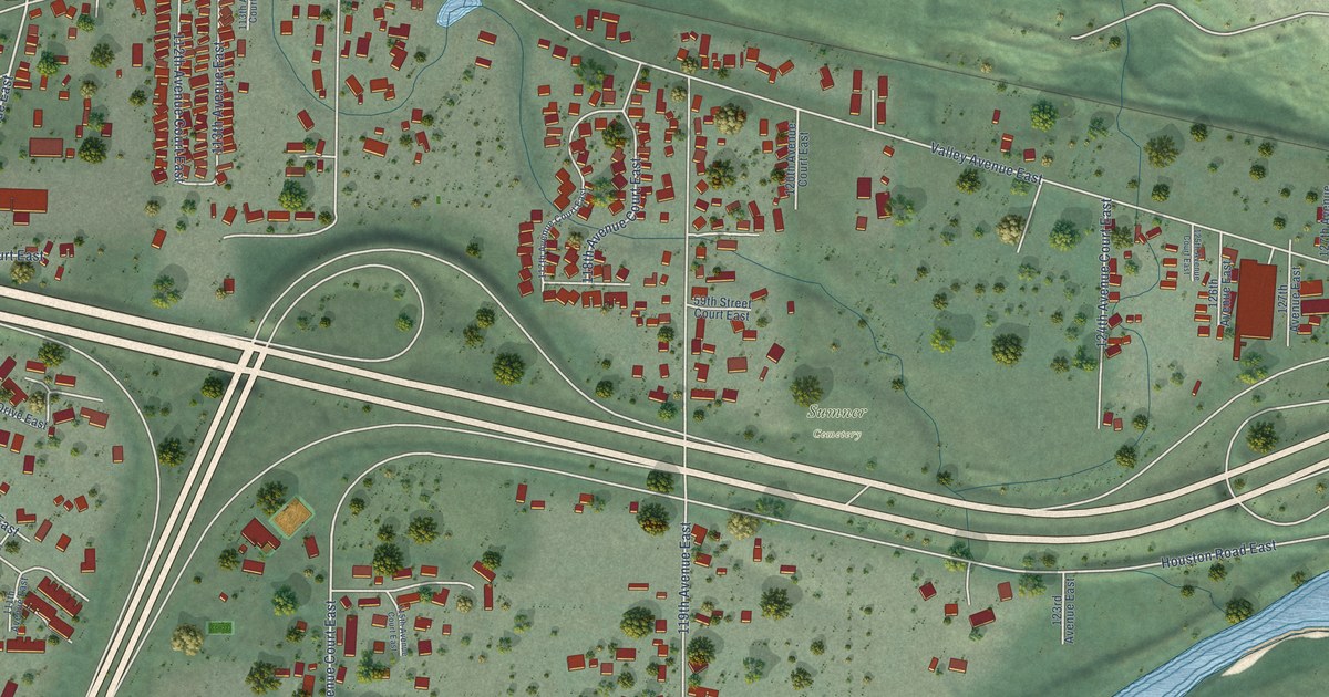
A detailed map of North Puyallup, Washington, showing every building in its true location, the roads by name, and shaded topographical relief.
Read More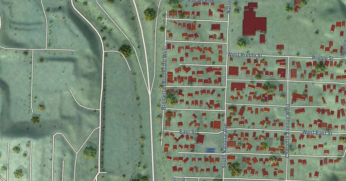
A detailed map of Navy Yard City, Washington, showing every building in its true location, the roads by name, and shaded topographical relief.
Read More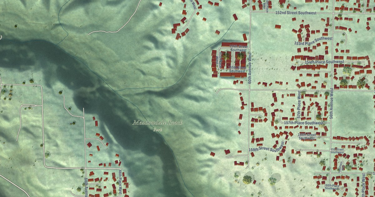
A detailed map of Meadowdale, Washington, showing every building in its true location, the roads by name, and shaded topographical relief.
Read More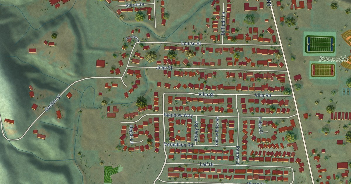
A detailed map of Lexington, Washington, showing every building in its true location, the roads by name, and shaded topographical relief.
Read More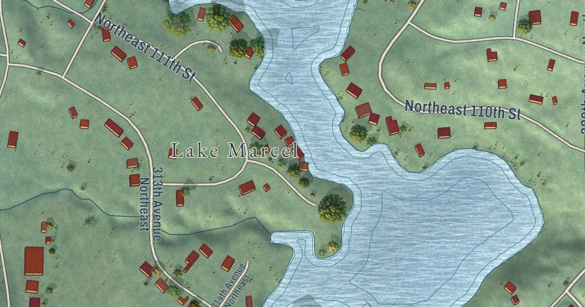
A detailed map of Lake Marcel-Stillwater, Washington, showing every building in its true location, the roads by name, and shaded topographical relief.
Read More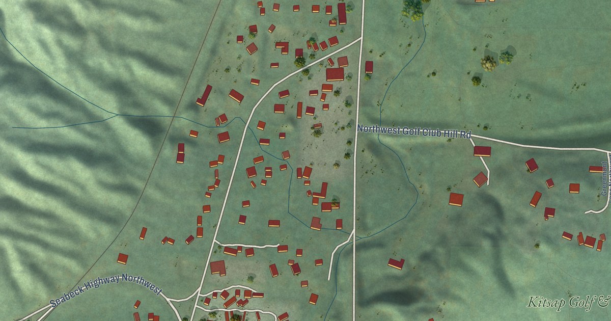
A detailed map of Kitsap Lake, Washington, showing every building in its true location, the roads by name, and shaded topographical relief.
Read More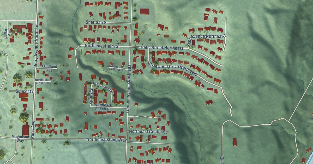
A detailed map of Enetai, Washington, showing every building in its true location, the roads by name, and shaded topographical relief.
Read More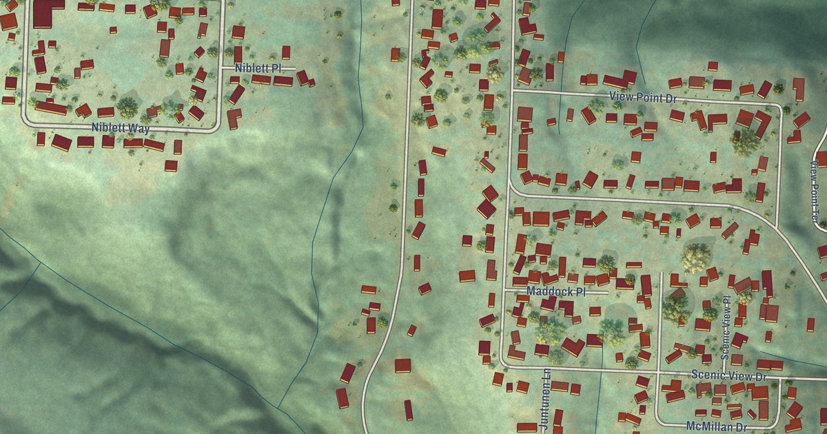
A detailed map of Beacon Hill, Washington, showing every building in its true location, the roads by name, and shaded topographical relief.
Read More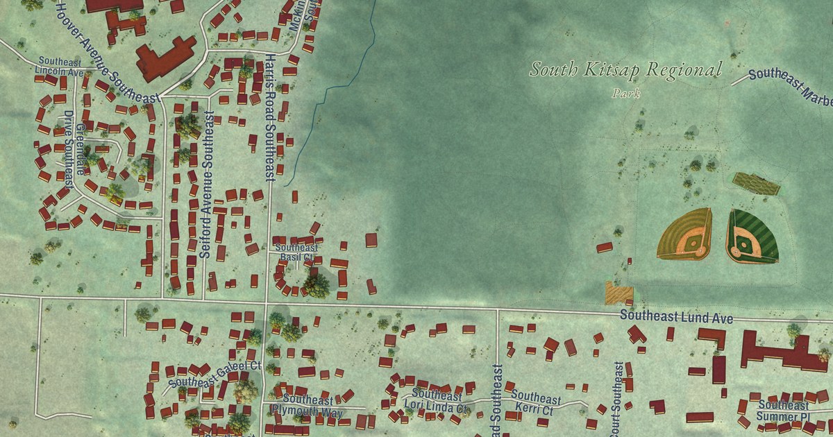
A detailed map of East Port Orchard, Washington, showing every building in its true location, the roads by name, and shaded topographical relief.
Read More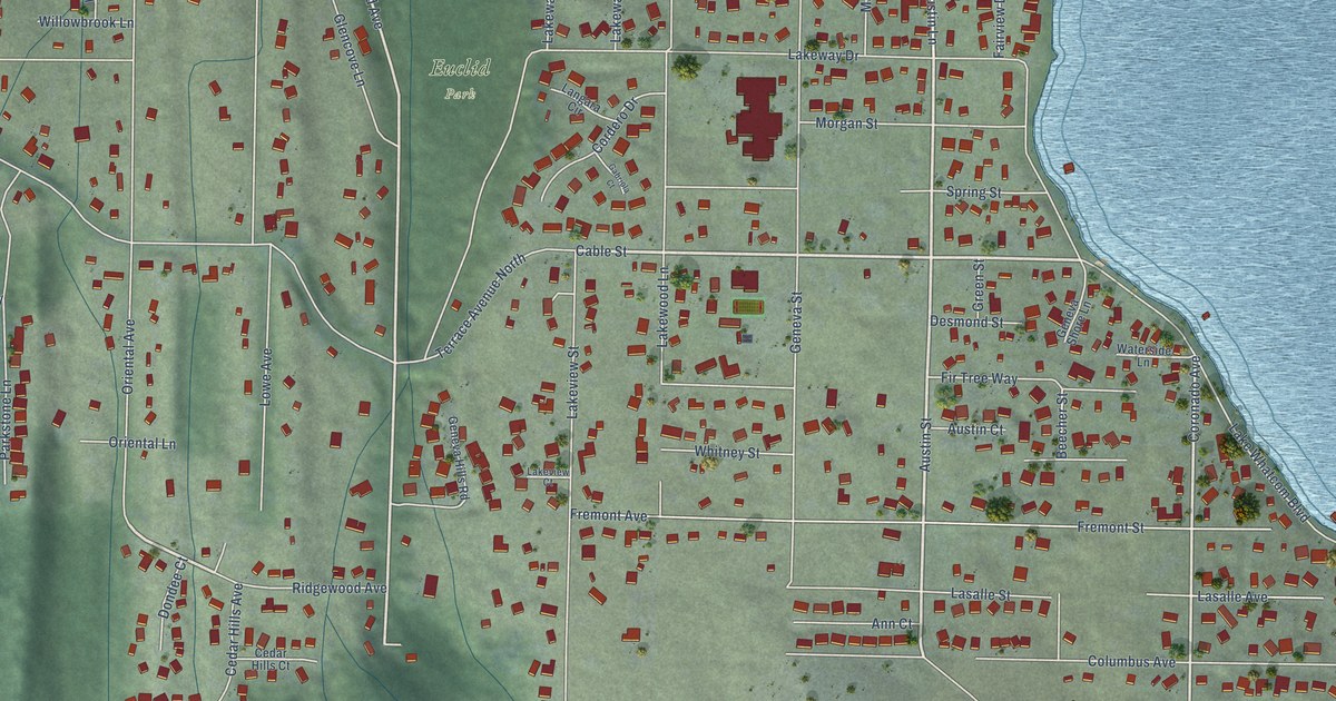
A detailed map of Geneva, Washington, showing every building in its true location, the roads by name, and shaded topographical relief.
Read More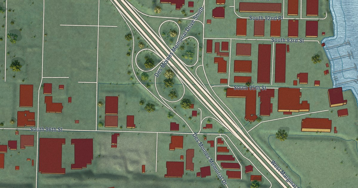
A detailed map of Boulevard Park, Washington, showing every building in its true location, the roads by name, and shaded topographical relief.
Read More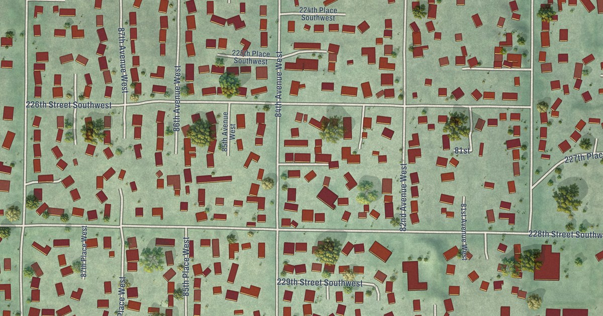
A detailed map of Esperance, Washington, showing every building in its true location, the roads by name, and shaded topographical relief.
Read More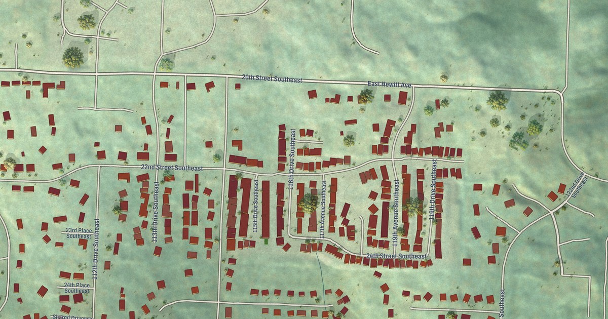
A detailed map of Cavalero, Washington, showing every building in its true location, the roads by name, and shaded topographical relief.
Read More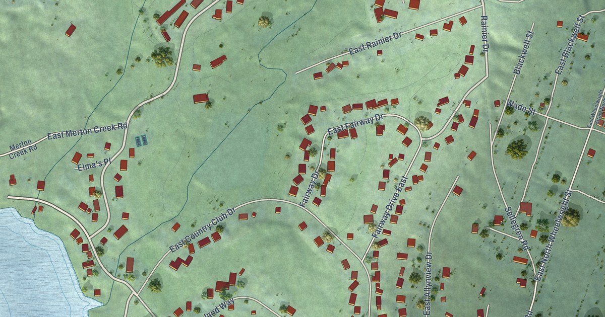
A detailed map of Allyn, Washington, showing every building in its true location, the roads by name, and shaded topographical relief.
Read More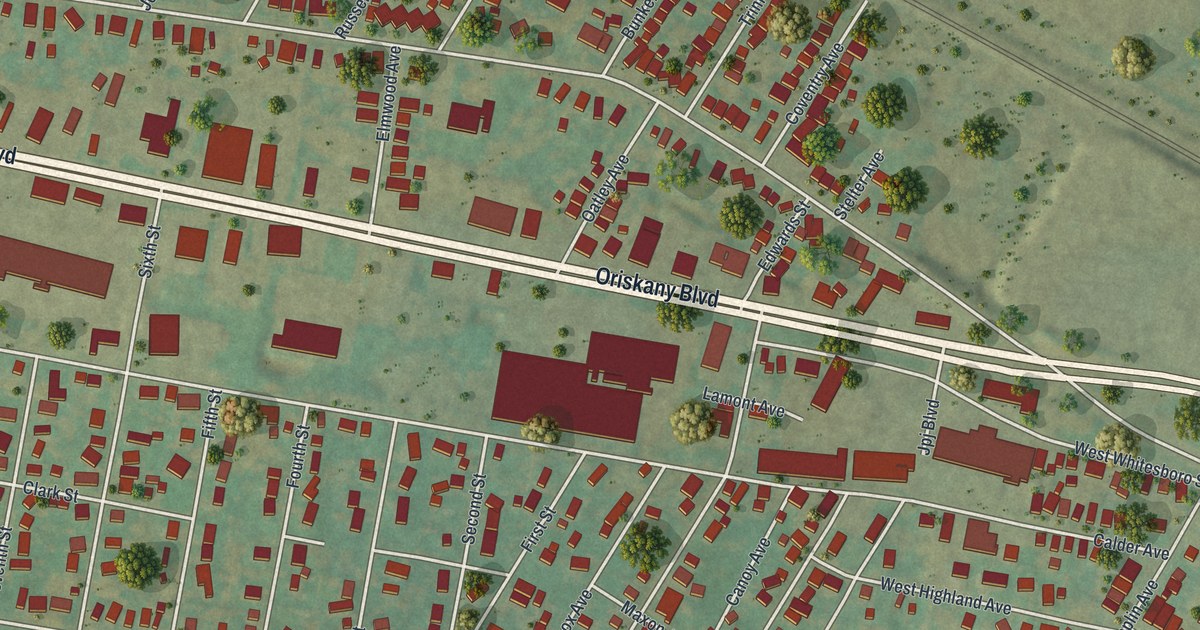
A detailed map of Yorkville, New York, showing every building in its true location, the roads by name, and shaded topographical relief.
Read More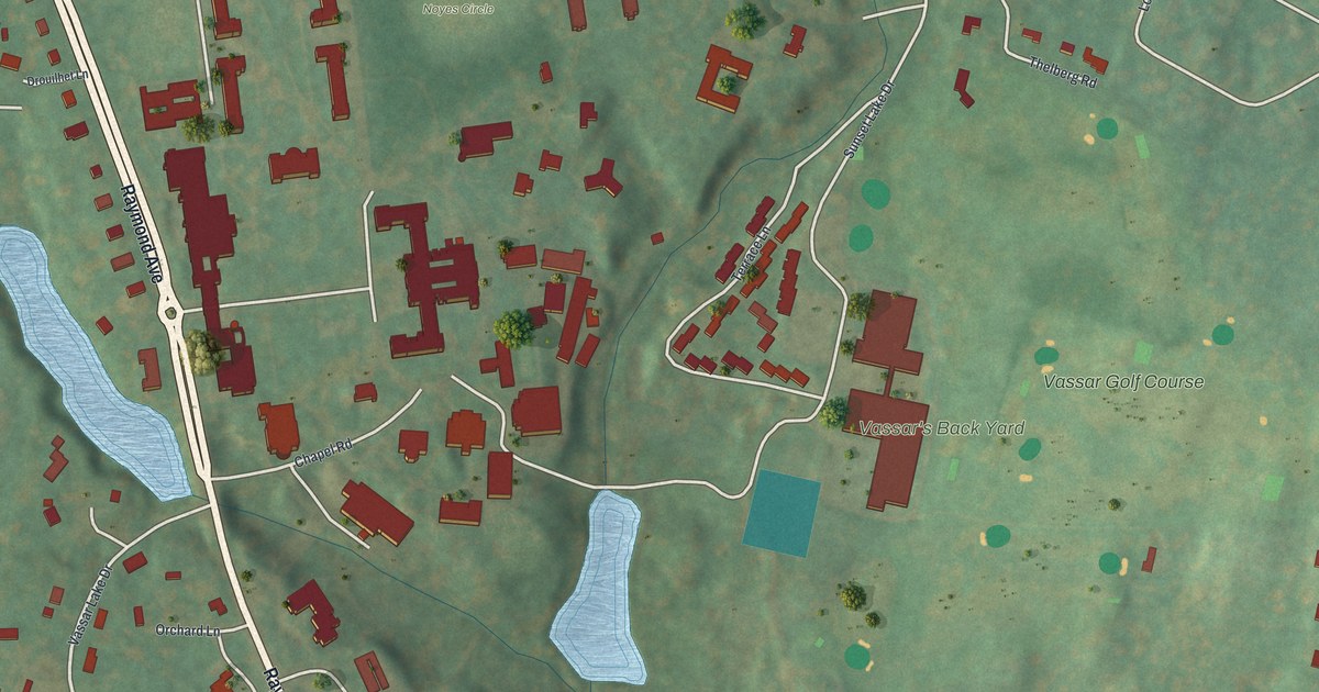
A detailed map of Vassar College, New York, showing every building in its true location, the roads by name, and shaded topographical relief.
Read More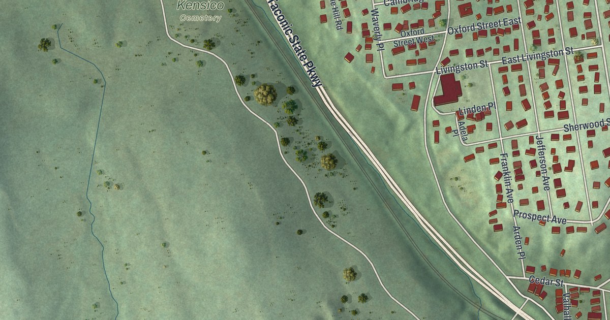
A detailed map of Valhalla, New York, showing every building in its true location, the roads by name, and shaded topographical relief.
Read More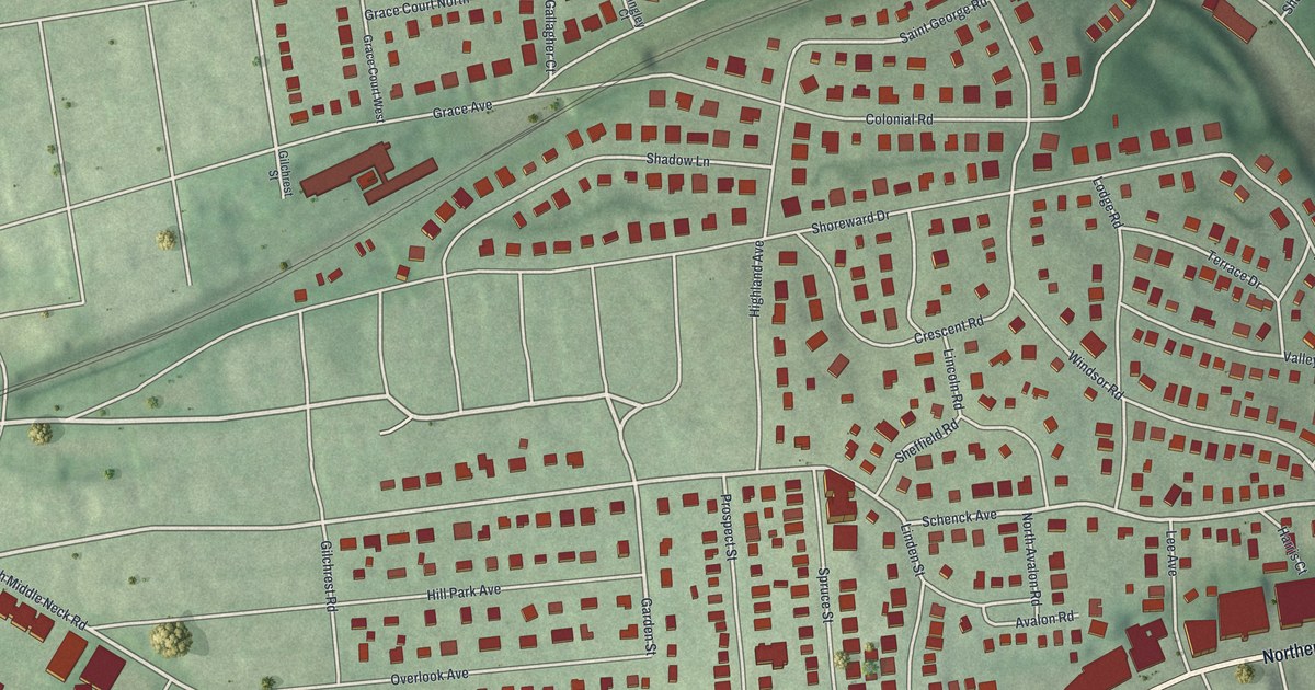
A detailed map of Thomaston, New York, showing every building in its true location, the roads by name, and shaded topographical relief.
Read More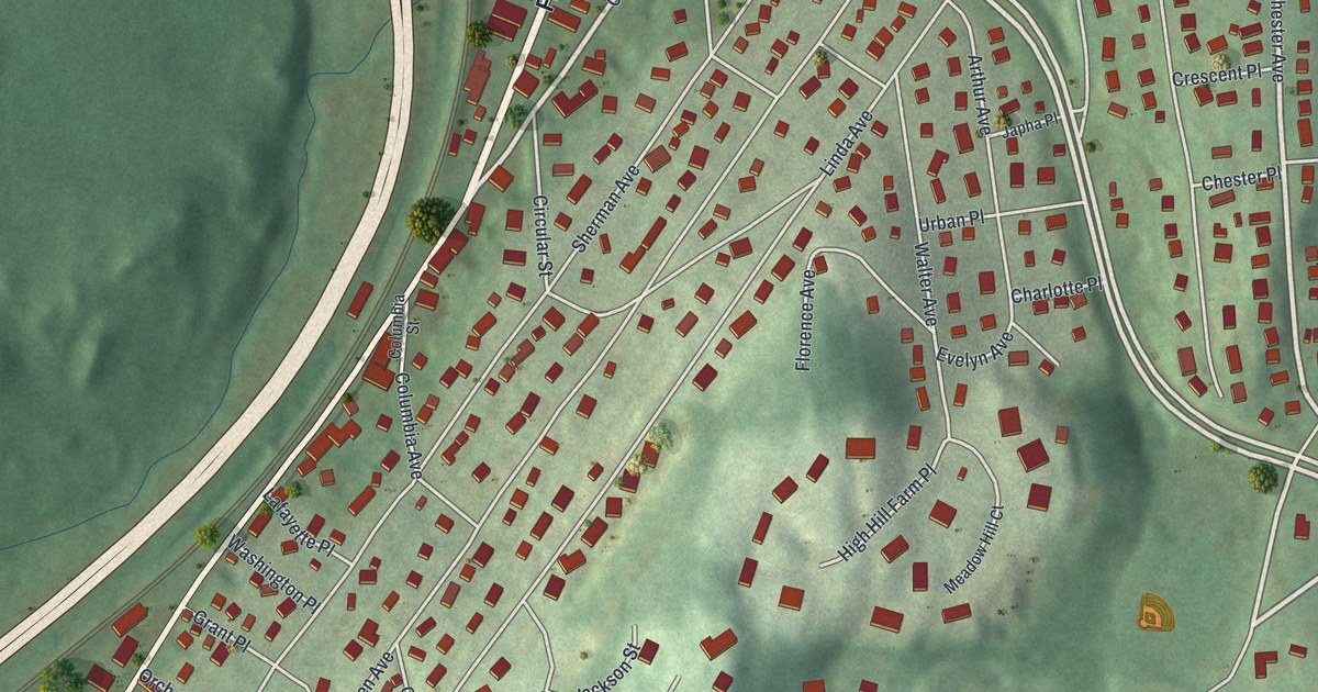
A detailed map of Thornwood, New York, showing every building in its true location, the roads by name, and shaded topographical relief.
Read More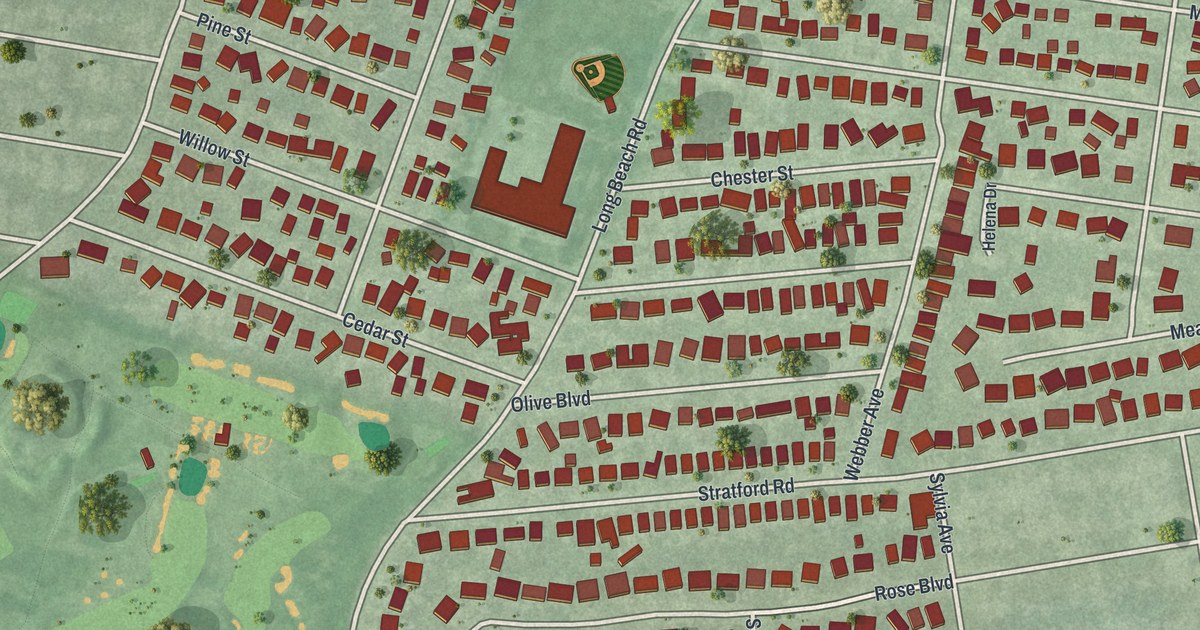
A detailed map of South Hempstead, New York, showing every building in its true location, the roads by name, and shaded topographical relief.
Read More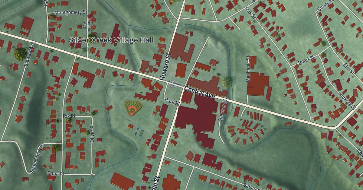
A detailed map of Silver Creek, New York, showing every building in its true location, the roads by name, and shaded topographical relief.
Read More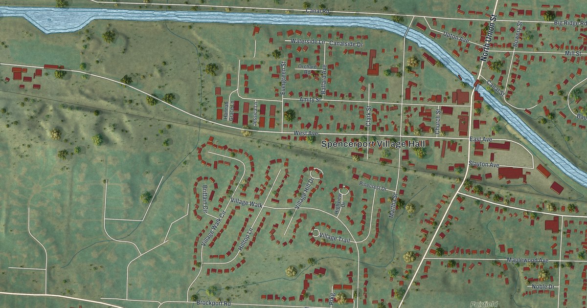
A detailed map of Spencerport, New York, showing every building in its true location, the roads by name, and shaded topographical relief.
Read More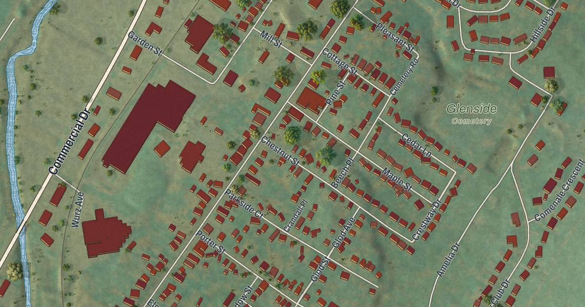
A detailed map of New York Mills, New York, showing every building in its true location, the roads by name, and shaded topographical relief.
Read More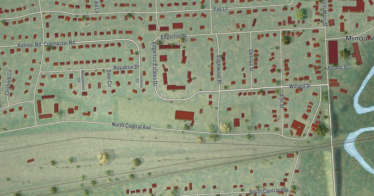
A detailed map of Minoa, New York, showing every building in its true location, the roads by name, and shaded topographical relief.
Read More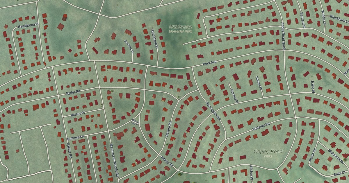
A detailed map of Munsey Park, New York, showing every building in its true location, the roads by name, and shaded topographical relief.
Read More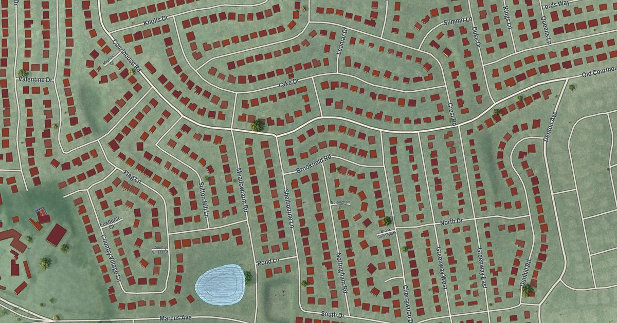
A detailed map of Manhasset Hills, New York, showing every building in its true location, the roads by name, and shaded topographical relief.
Read More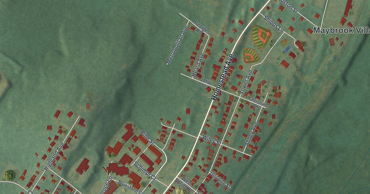
A detailed map of Maybrook, New York, showing every building in its true location, the roads by name, and shaded topographical relief.
Read More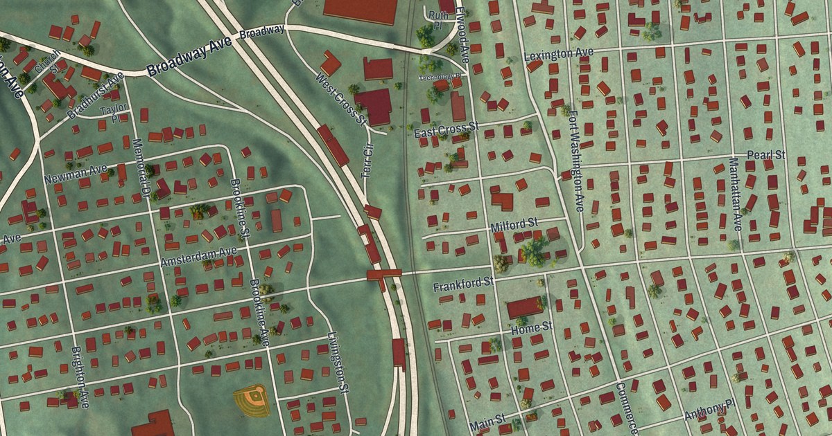
A detailed map of Hawthorne, New York, showing every building in its true location, the roads by name, and shaded topographical relief.
Read More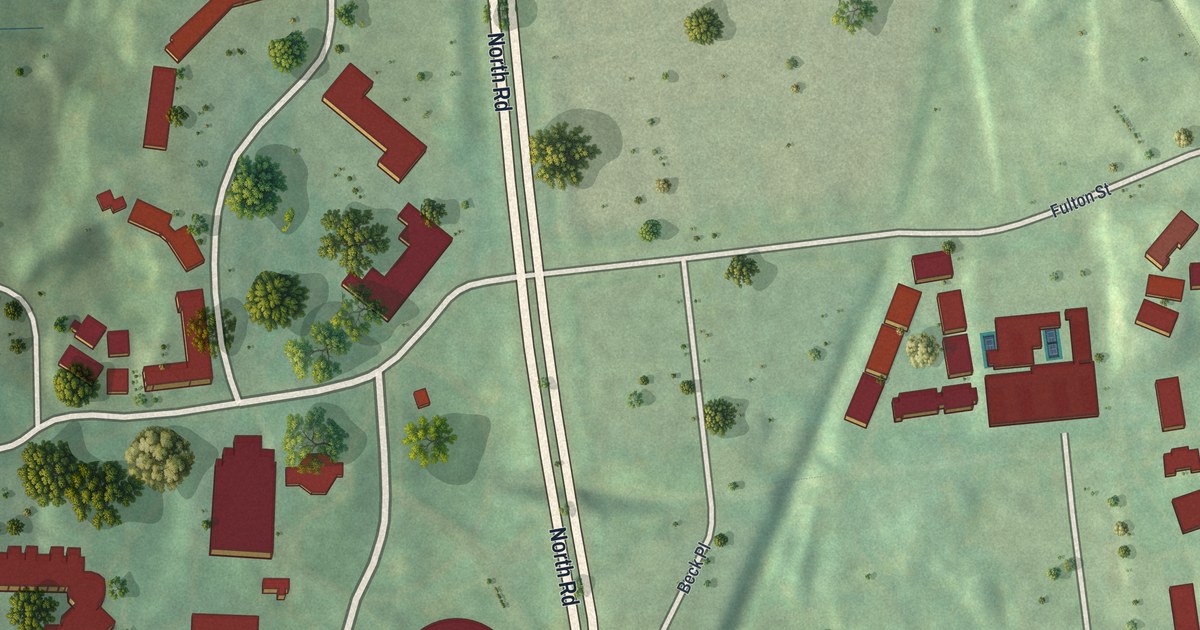
A detailed map of Marist College, New York, showing every building in its true location, the roads by name, and shaded topographical relief.
Read More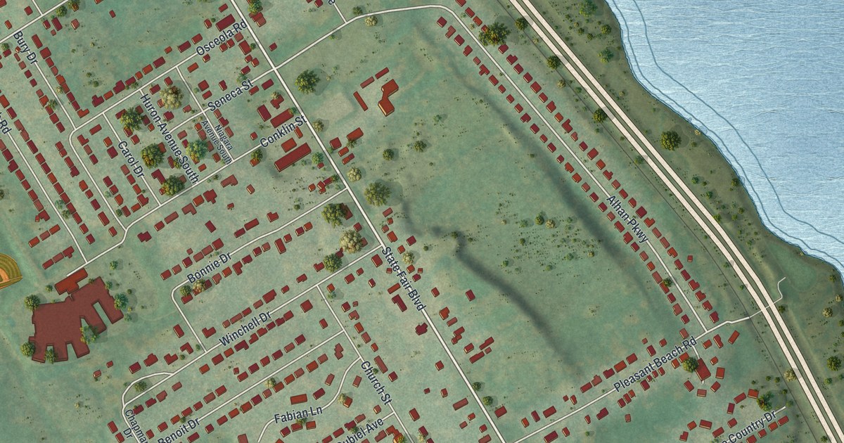
A detailed map of Lakeland, New York, showing every building in its true location, the roads by name, and shaded topographical relief.
Read More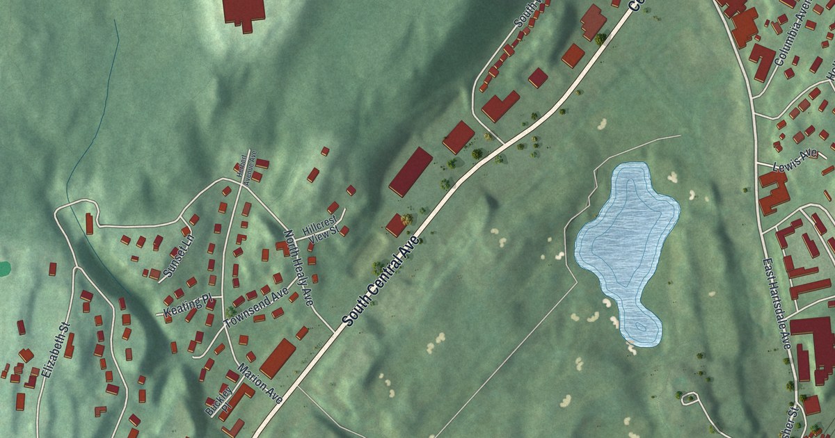
A detailed map of Hartsdale, New York, showing every building in its true location, the roads by name, and shaded topographical relief.
Read More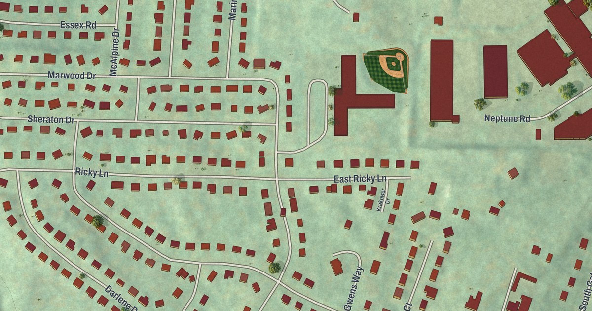
A detailed map of Crown Heights, New York, showing every building in its true location, the roads by name, and shaded topographical relief.
Read More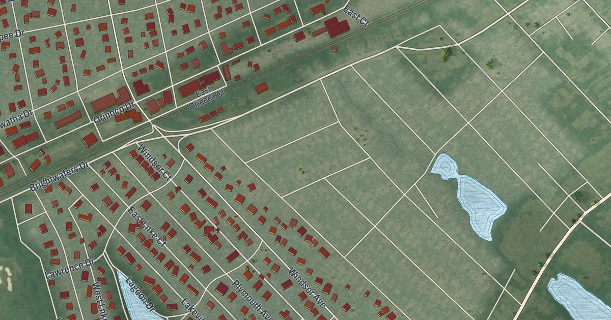
A detailed map of Brightwaters, New York, showing every building in its true location, the roads by name, and shaded topographical relief.
Read More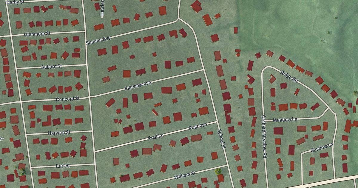
A detailed map of East Williston, New York, showing every building in its true location, the roads by name, and shaded topographical relief.
Read More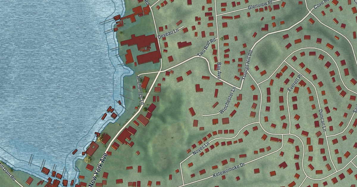
A detailed map of Halesite, New York, showing every building in its true location, the roads by name, and shaded topographical relief.
Read More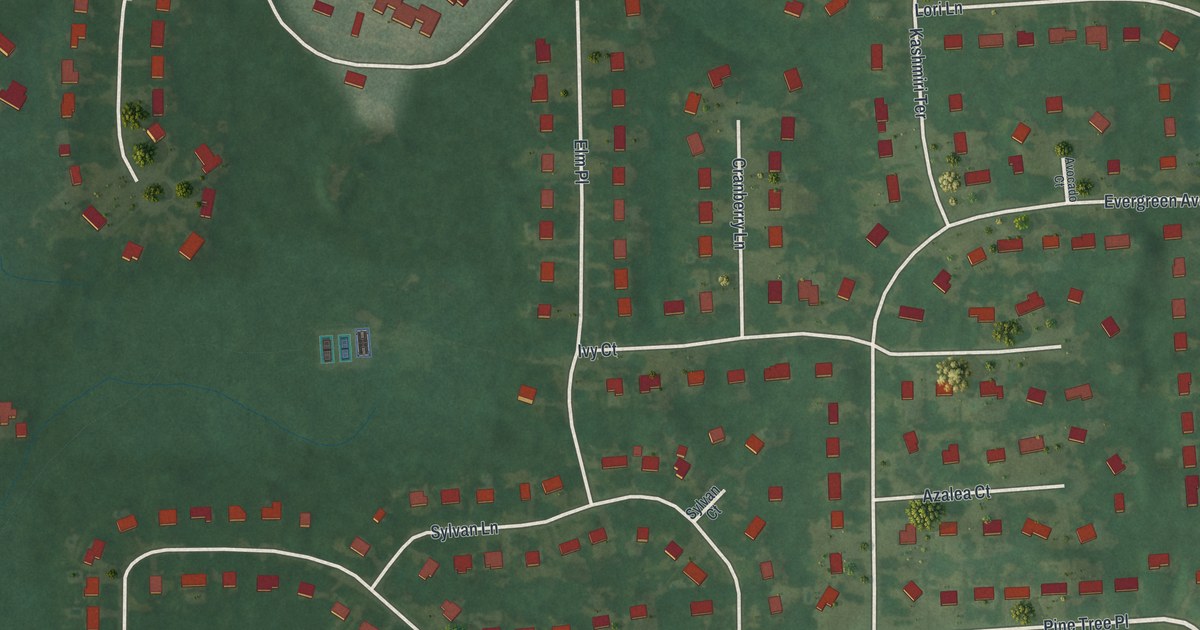
A detailed map of Clifton Gardens, New York, showing every building in its true location, the roads by name, and shaded topographical relief.
Read More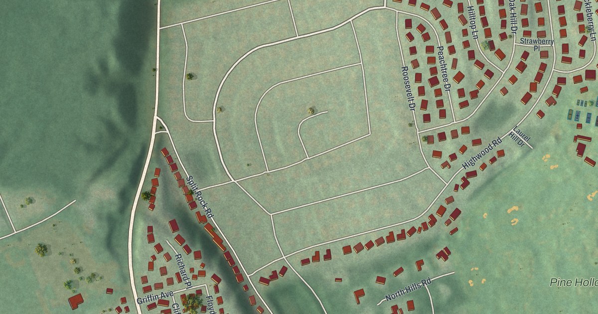
A detailed map of East Norwich, New York, showing every building in its true location, the roads by name, and shaded topographical relief.
Read More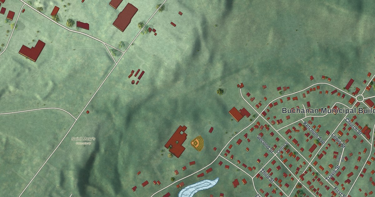
A detailed map of Buchanan, New York, showing every building in its true location, the roads by name, and shaded topographical relief.
Read More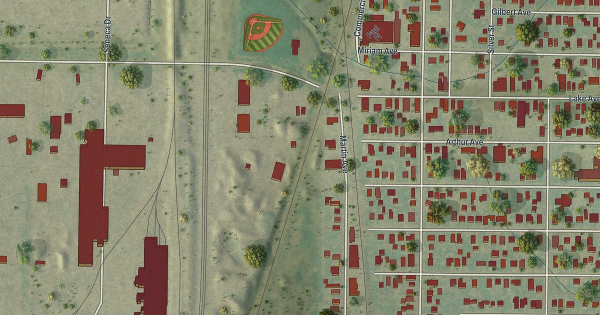
A detailed map of Blasdell, New York, showing every building in its true location, the roads by name, and shaded topographical relief.
Read More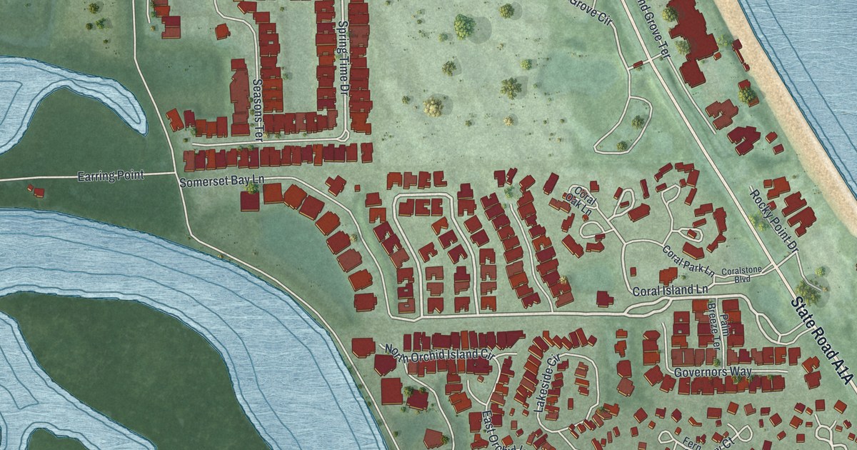
A detailed map of Wabasso Beach, Florida, showing every building in its true location, the roads by name, and shaded topographical relief.
Read More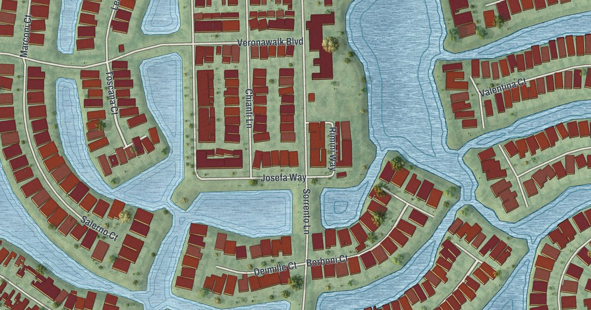
A detailed map of Verona Walk, Florida, showing every building in its true location, the roads by name, and shaded topographical relief.
Read More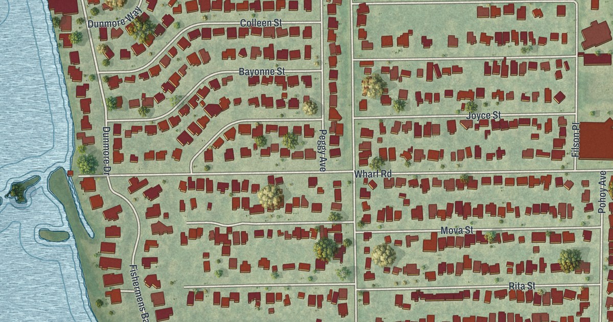
A detailed map of Vamo, Florida, showing every building in its true location, the roads by name, and shaded topographical relief.
Read More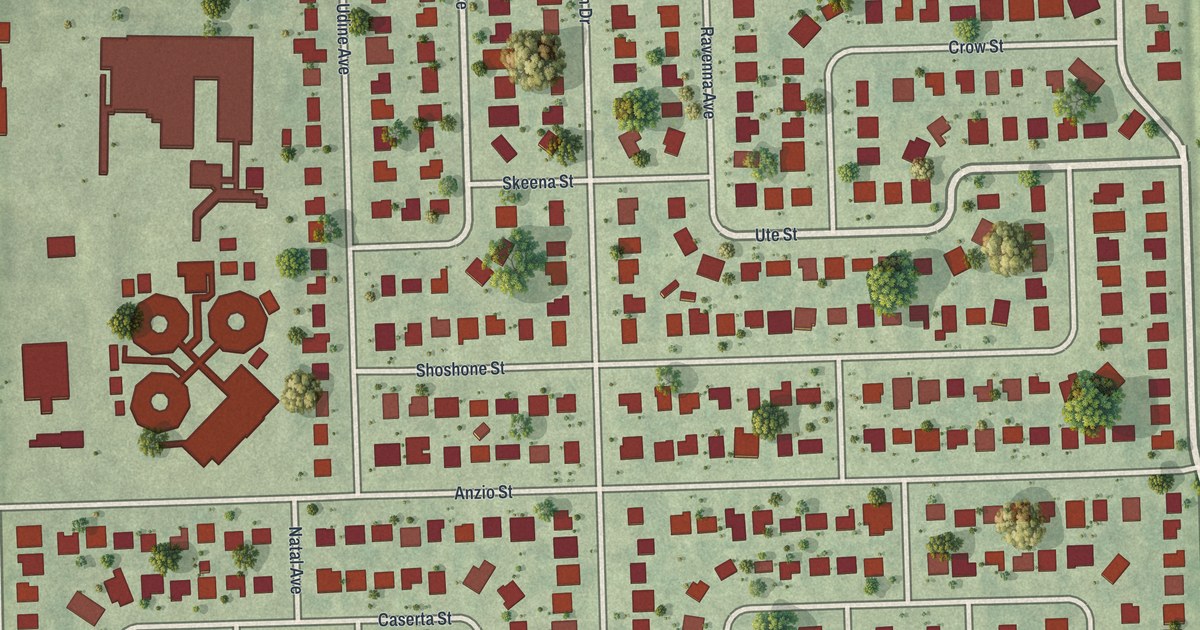
A detailed map of Tangelo Park, Florida, showing every building in its true location, the roads by name, and shaded topographical relief.
Read More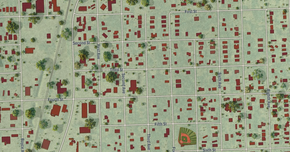
A detailed map of Taft, Florida, showing every building in its true location, the roads by name, and shaded topographical relief.
Read More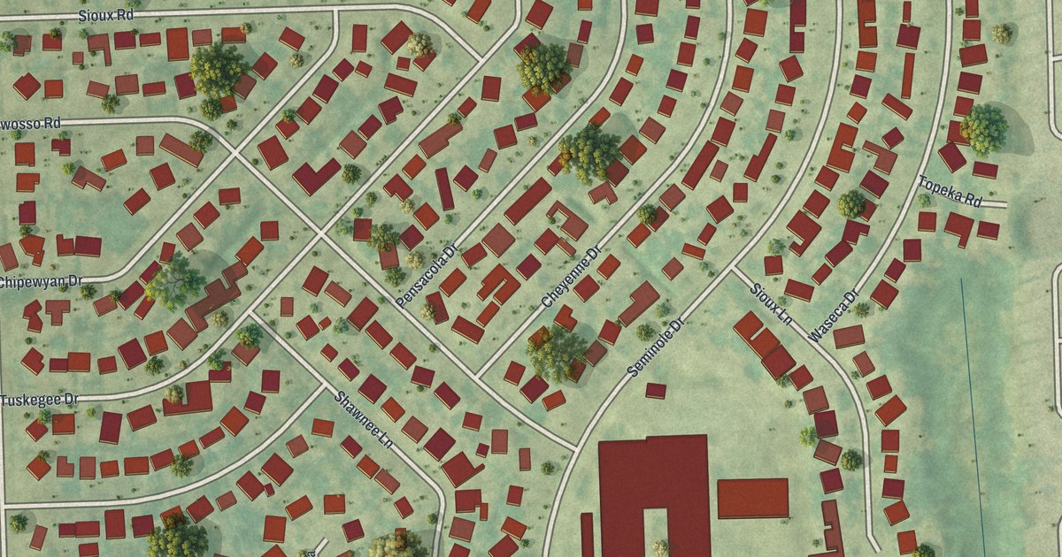
A detailed map of Seminole Manor, Florida, showing every building in its true location, the roads by name, and shaded topographical relief.
Read More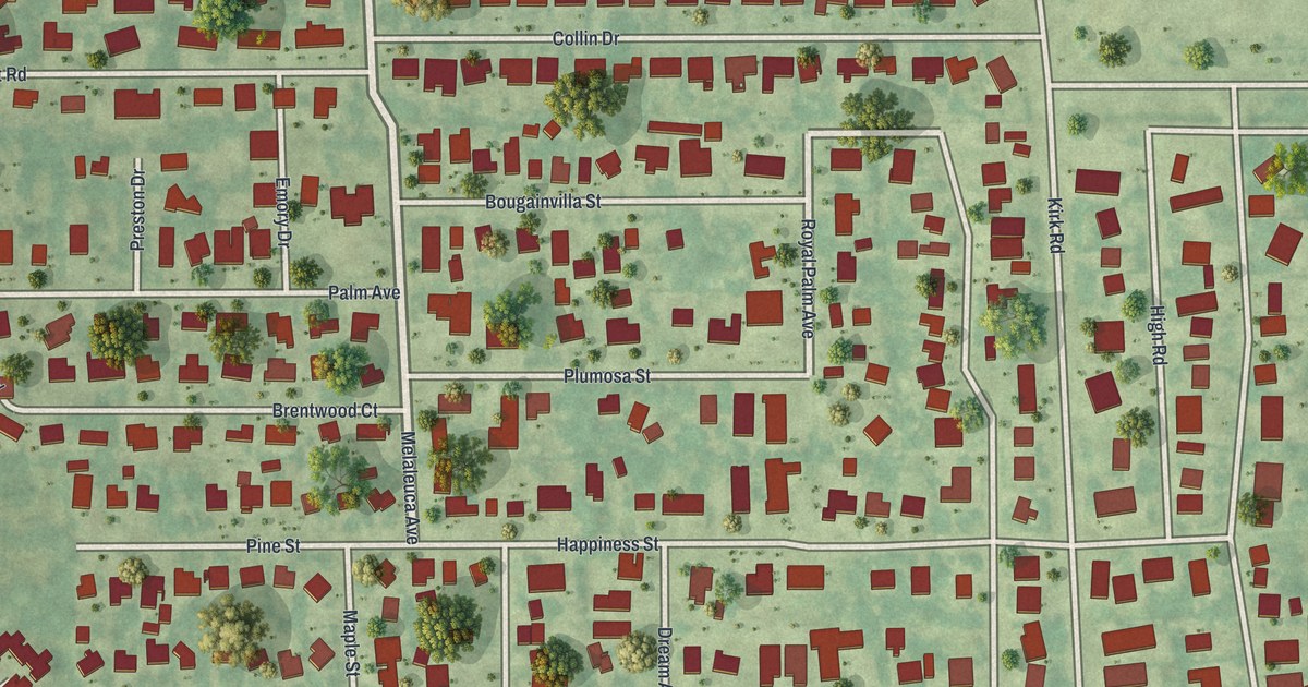
A detailed map of Pine Air, Florida, showing every building in its true location, the roads by name, and shaded topographical relief.
Read More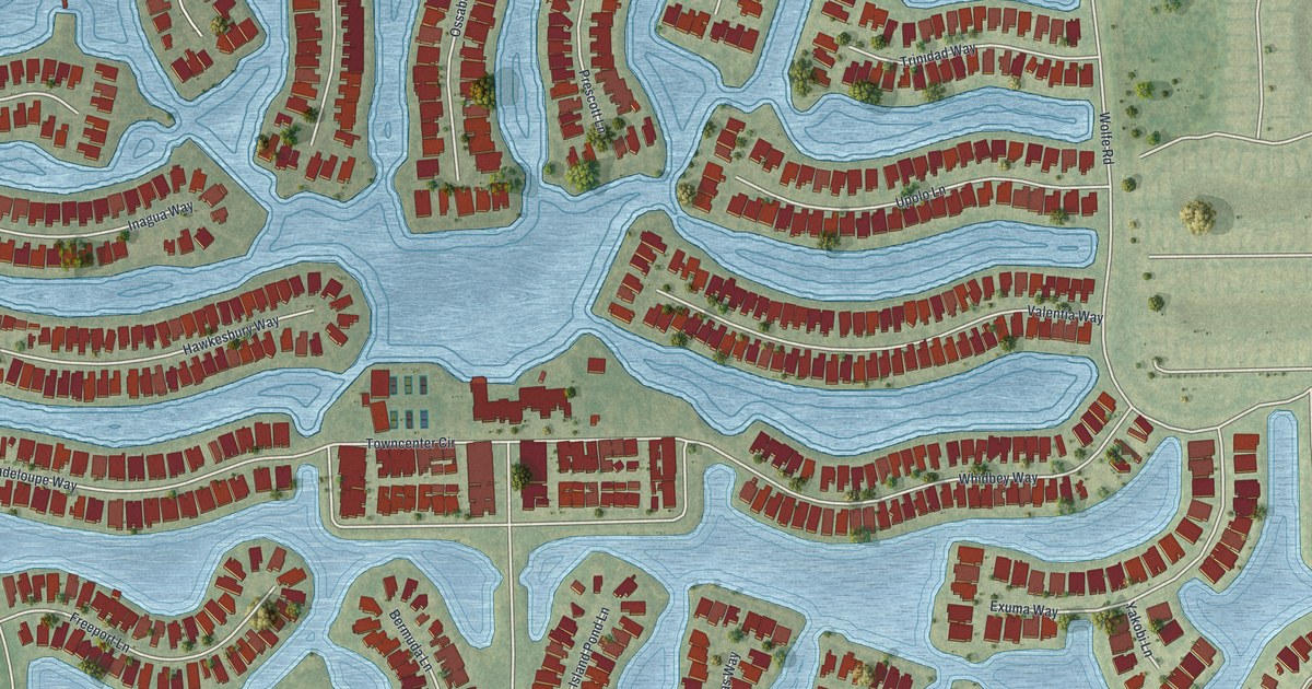
A detailed map of Island Walk, Florida, showing every building in its true location, the roads by name, and shaded topographical relief.
Read More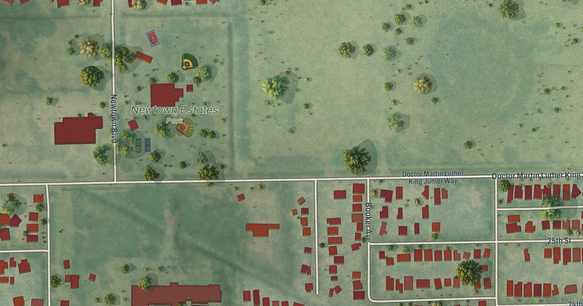
A detailed map of North Sarasota, Florida, showing every building in its true location, the roads by name, and shaded topographical relief.
Read More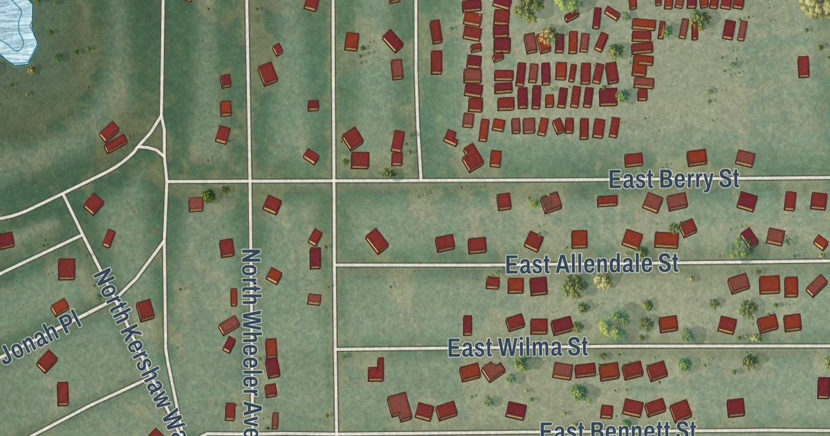
A detailed map of Inverness Highlands North, Florida, showing every building in its true location, the roads by name, and shaded topographical relief.
Read More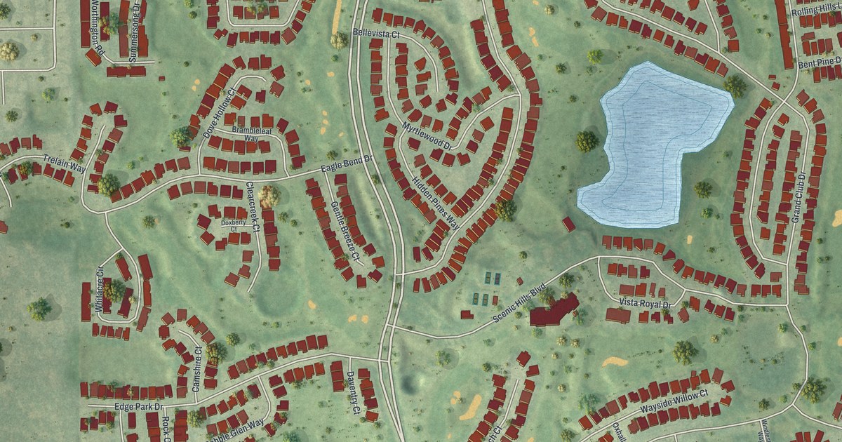
A detailed map of Heritage Pines, Florida, showing every building in its true location, the roads by name, and shaded topographical relief.
Read More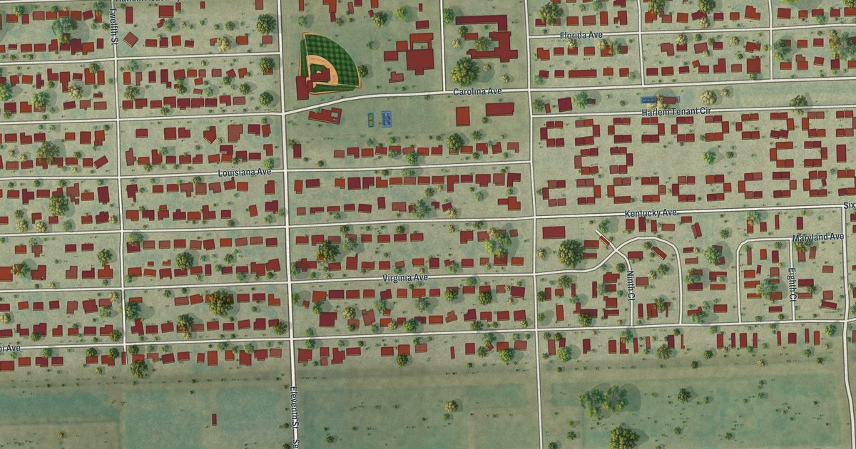
A detailed map of Harlem, Florida, showing every building in its true location, the roads by name, and shaded topographical relief.
Read More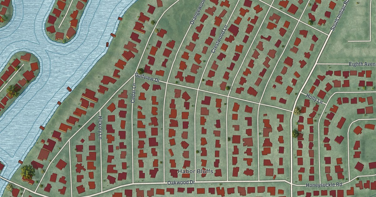
A detailed map of Harbor Bluffs, Florida, showing every building in its true location, the roads by name, and shaded topographical relief.
Read More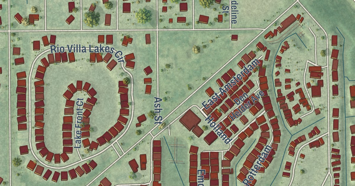
A detailed map of Charlotte Park, Florida, showing every building in its true location, the roads by name, and shaded topographical relief.
Read More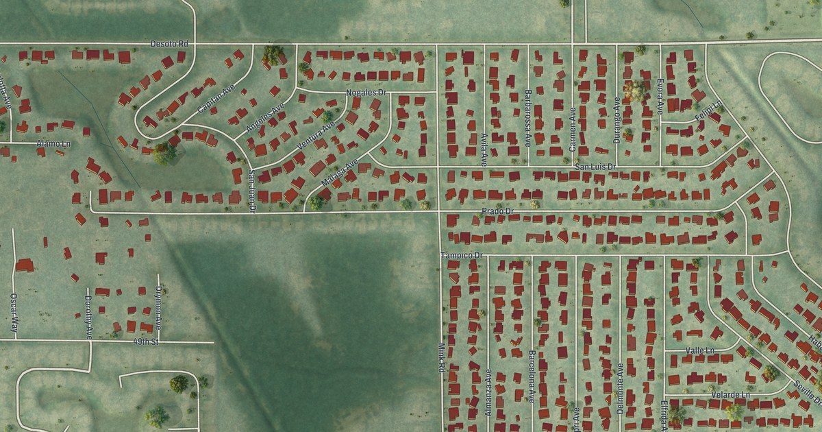
A detailed map of Desoto Lakes, Florida, showing every building in its true location, the roads by name, and shaded topographical relief.
Read More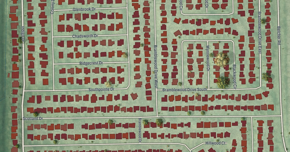
A detailed map of Greenbriar, Florida, showing every building in its true location, the roads by name, and shaded topographical relief.
Read More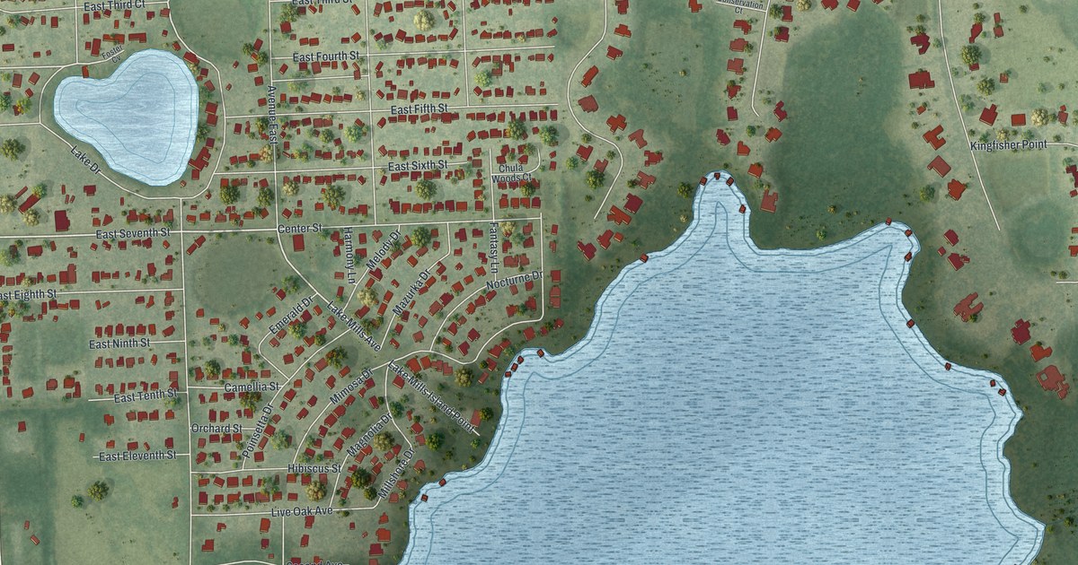
A detailed map of Chuluota, Florida, showing every building in its true location, the roads by name, and shaded topographical relief.
Read More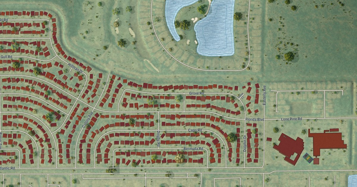
A detailed map of Cabana Colony, Florida, showing every building in its true location, the roads by name, and shaded topographical relief.
Read More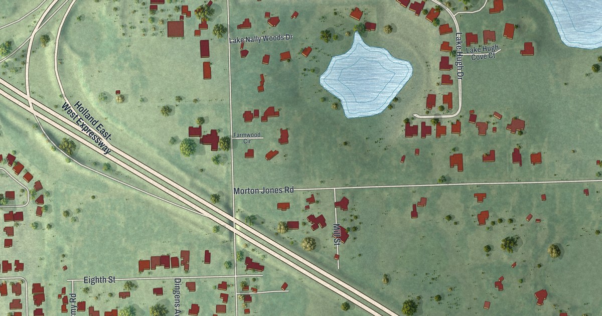
A detailed map of Gotha, Florida, showing every building in its true location, the roads by name, and shaded topographical relief.
Read More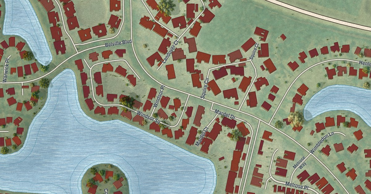
A detailed map of Berkshire Lakes, Florida, showing every building in its true location, the roads by name, and shaded topographical relief.
Read More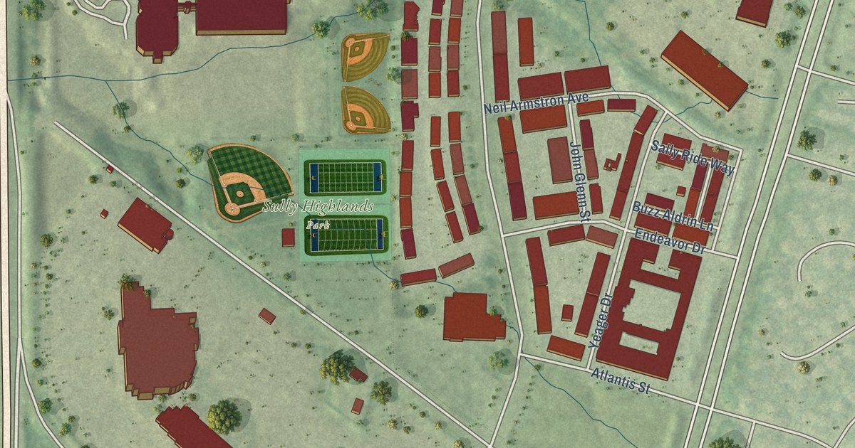
A detailed map of Sully Square, Virginia, showing every building in its true location, the roads by name, and shaded topographical relief.
Read More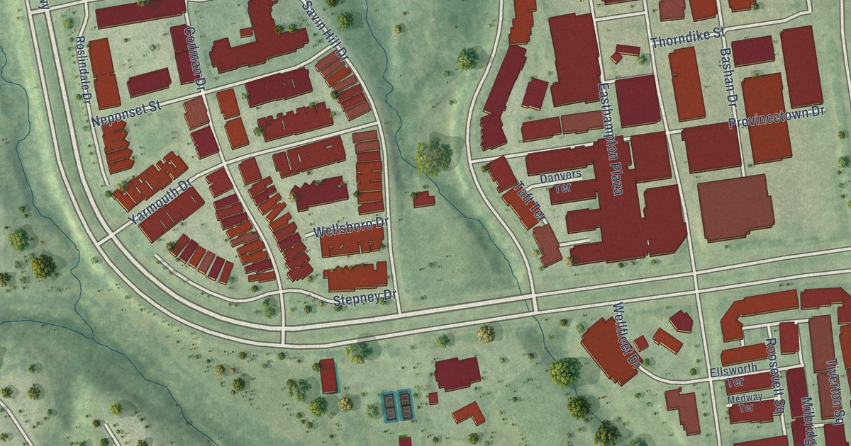
A detailed map of One Loudoun, Virginia, showing every building in its true location, the roads by name, and shaded topographical relief.
Read More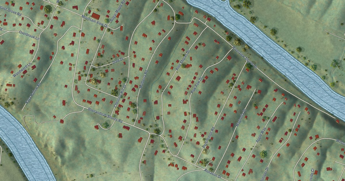
A detailed map of Shenandoah Shores, Virginia, showing every building in its true location, the roads by name, and shaded topographical relief.
Read More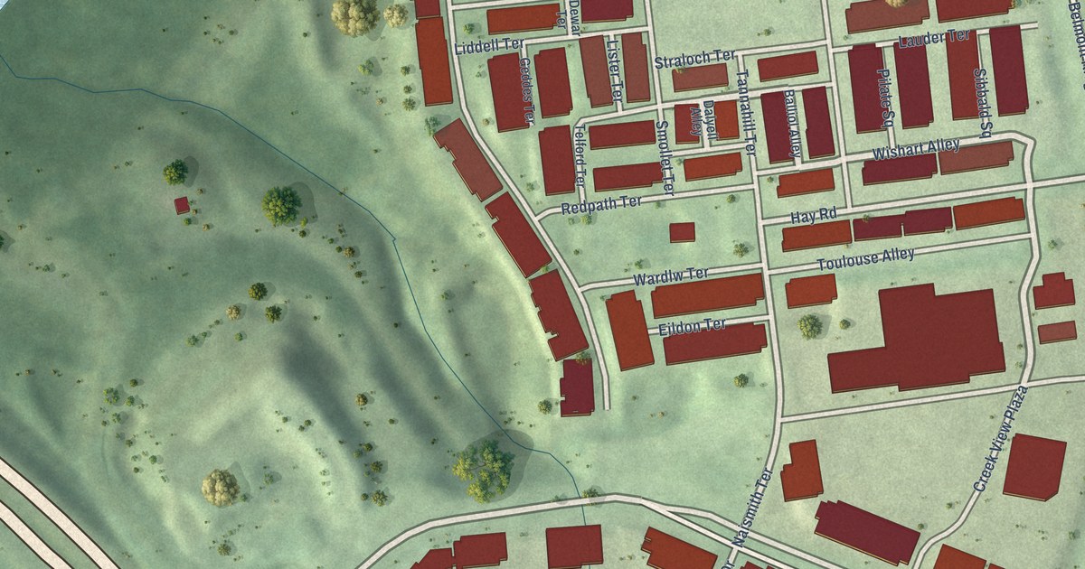
A detailed map of Goose Creek Village, Virginia, showing every building in its true location, the roads by name, and shaded topographical relief.
Read More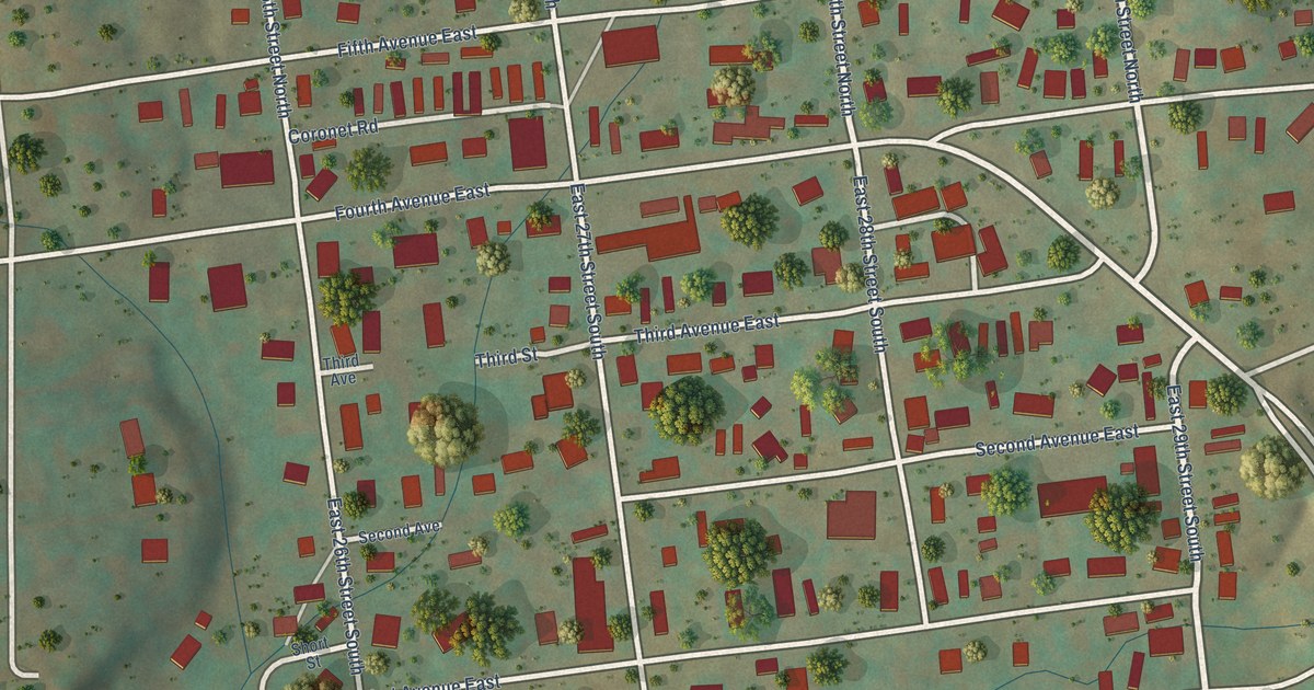
A detailed map of Big Stone Gap East, Virginia, showing every building in its true location, the roads by name, and shaded topographical relief.
Read More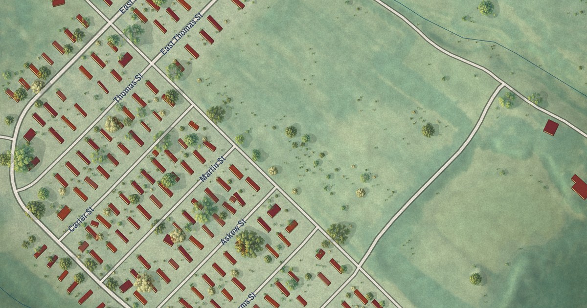
A detailed map of Southampton Meadows, Virginia, showing every building in its true location, the roads by name, and shaded topographical relief.
Read More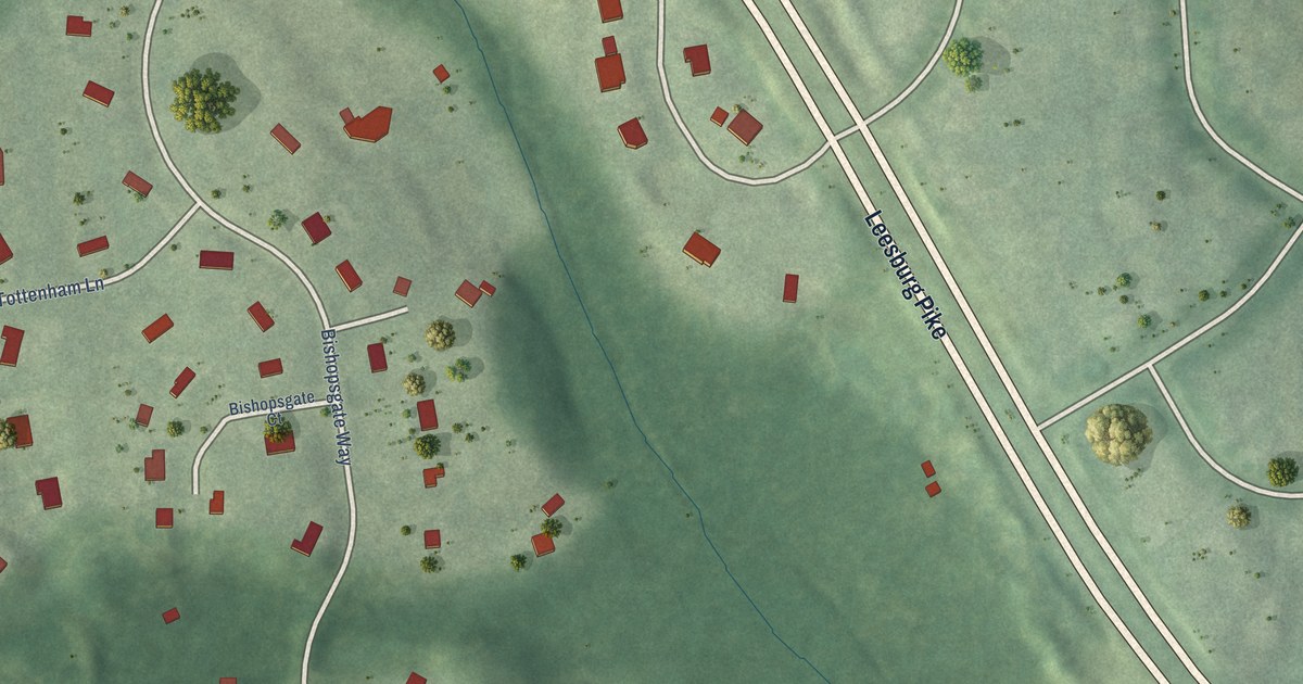
A detailed map of Great Falls Crossing, Virginia, showing every building in its true location, the roads by name, and shaded topographical relief.
Read More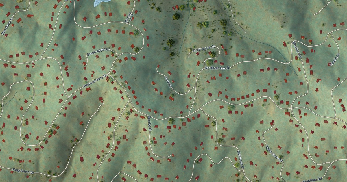
A detailed map of Apple Mountain Lake, Virginia, showing every building in its true location, the roads by name, and shaded topographical relief.
Read More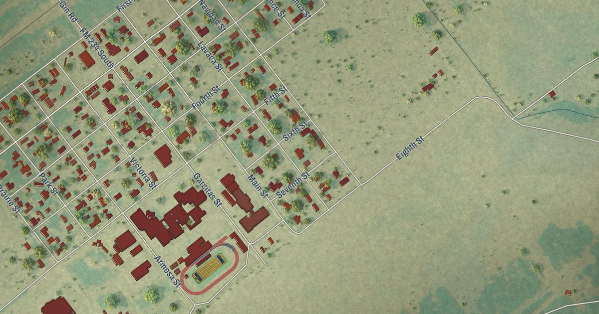
A detailed map of Vanderbilt, Texas, showing every building in its true location, the roads by name, and shaded topographical relief.
Read More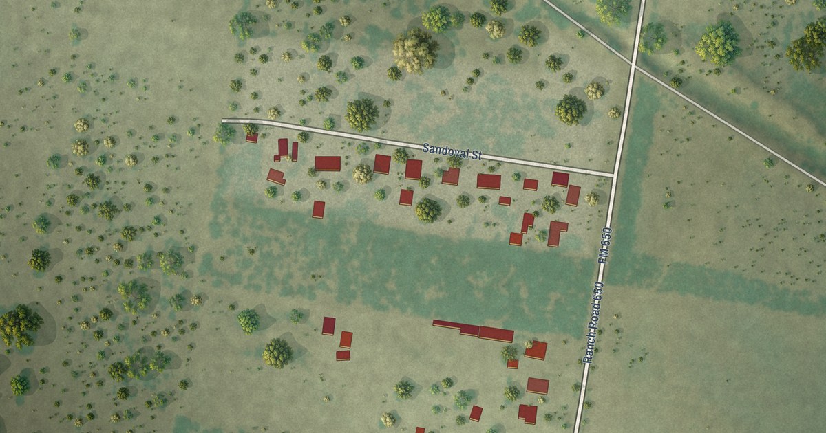
A detailed map of Sandoval, Texas, showing every building in its true location, the roads by name, and shaded topographical relief.
Read More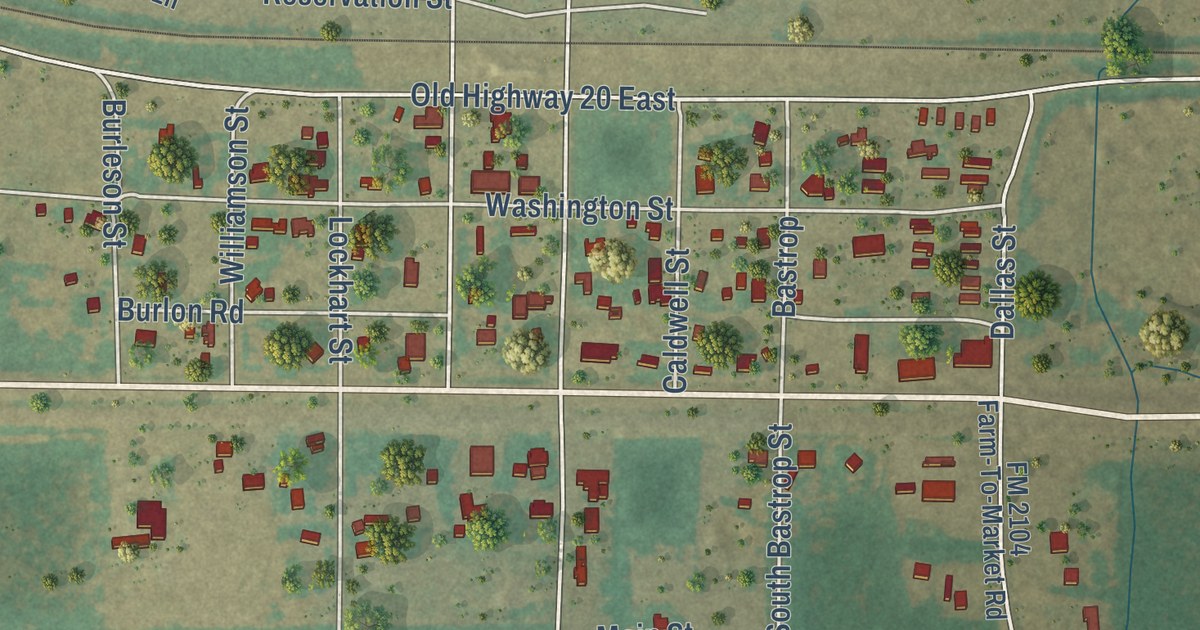
A detailed map of Paige, Texas, showing every building in its true location, the roads by name, and shaded topographical relief.
Read More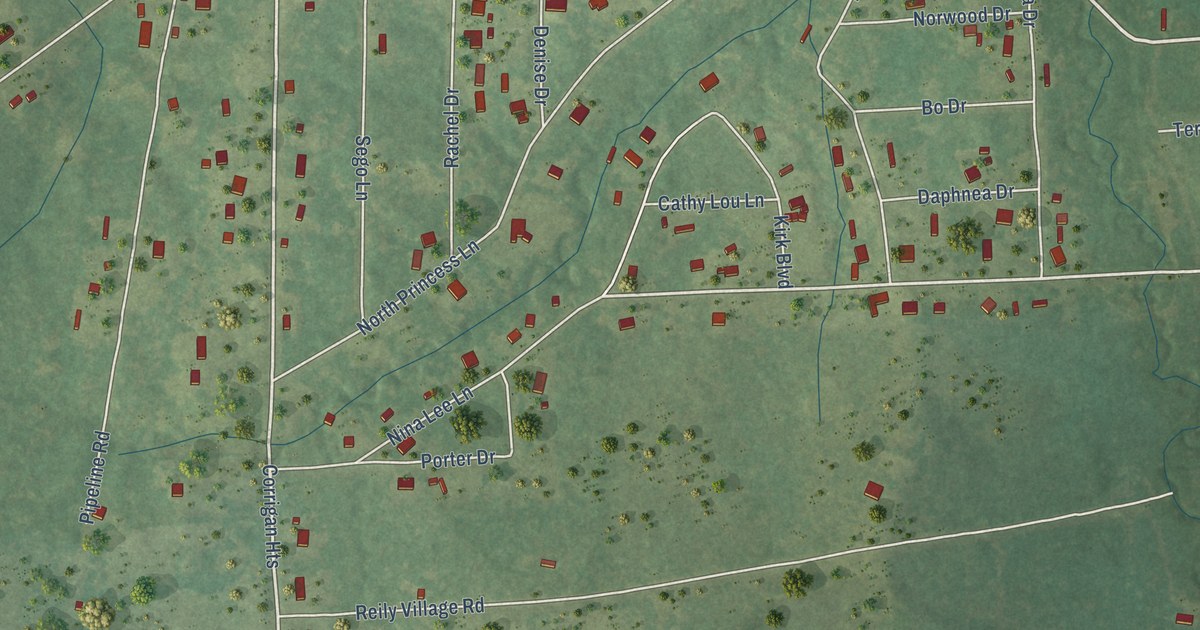
A detailed map of Pleasant Hill, Texas, showing every building in its true location, the roads by name, and shaded topographical relief.
Read More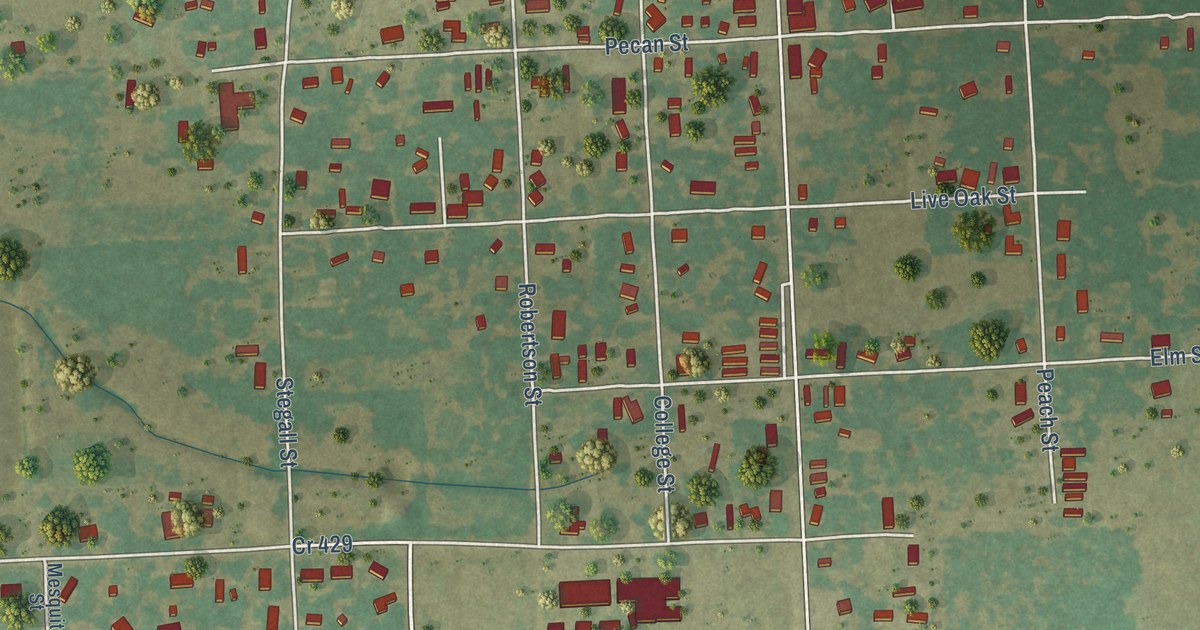
A detailed map of Lolita, Texas, showing every building in its true location, the roads by name, and shaded topographical relief.
Read More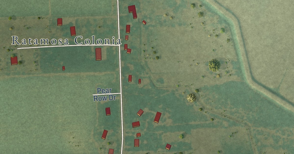
A detailed map of Ratamosa, Texas, showing every building in its true location, the roads by name, and shaded topographical relief.
Read More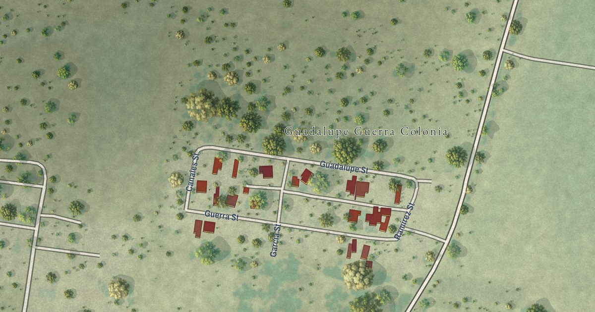
A detailed map of Guadalupe Guerra, Texas, showing every building in its true location, the roads by name, and shaded topographical relief.
Read More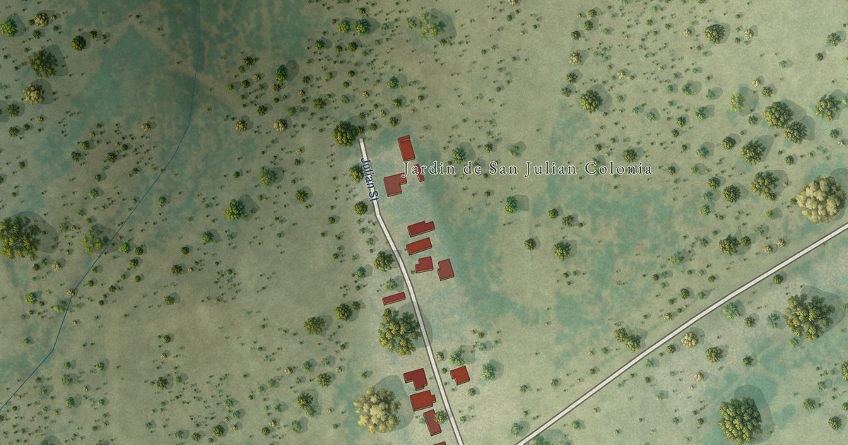
A detailed map of Jardin de San Julian, Texas, showing every building in its true location, the roads by name, and shaded topographical relief.
Read More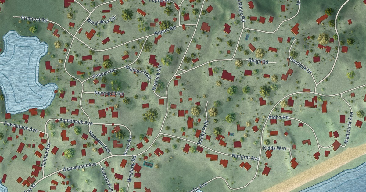
A detailed map of Watch Hill, Rhode Island, showing every building in its true location, the roads by name, and shaded topographical relief.
Read More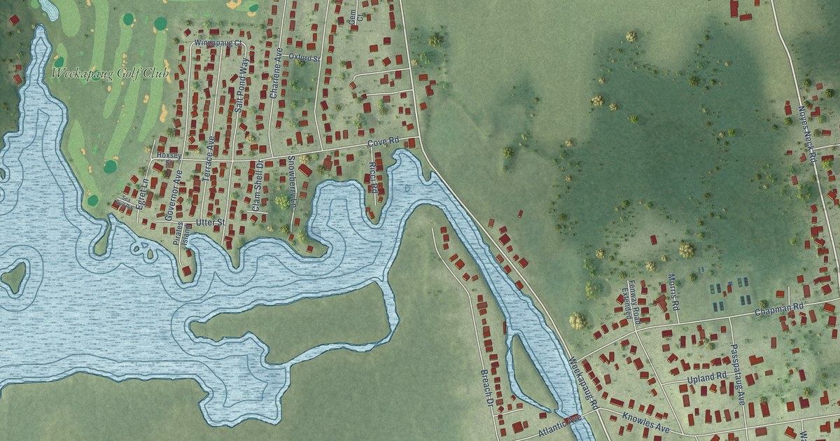
A detailed map of Weekapaug, Rhode Island, showing every building in its true location, the roads by name, and shaded topographical relief.
Read More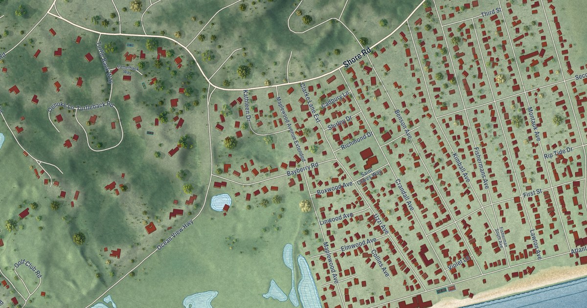
A detailed map of Misquamicut, Rhode Island, showing every building in its true location, the roads by name, and shaded topographical relief.
Read More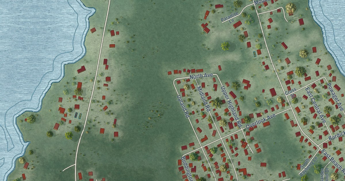
A detailed map of Quonochontaug, Rhode Island, showing every building in its true location, the roads by name, and shaded topographical relief.
Read More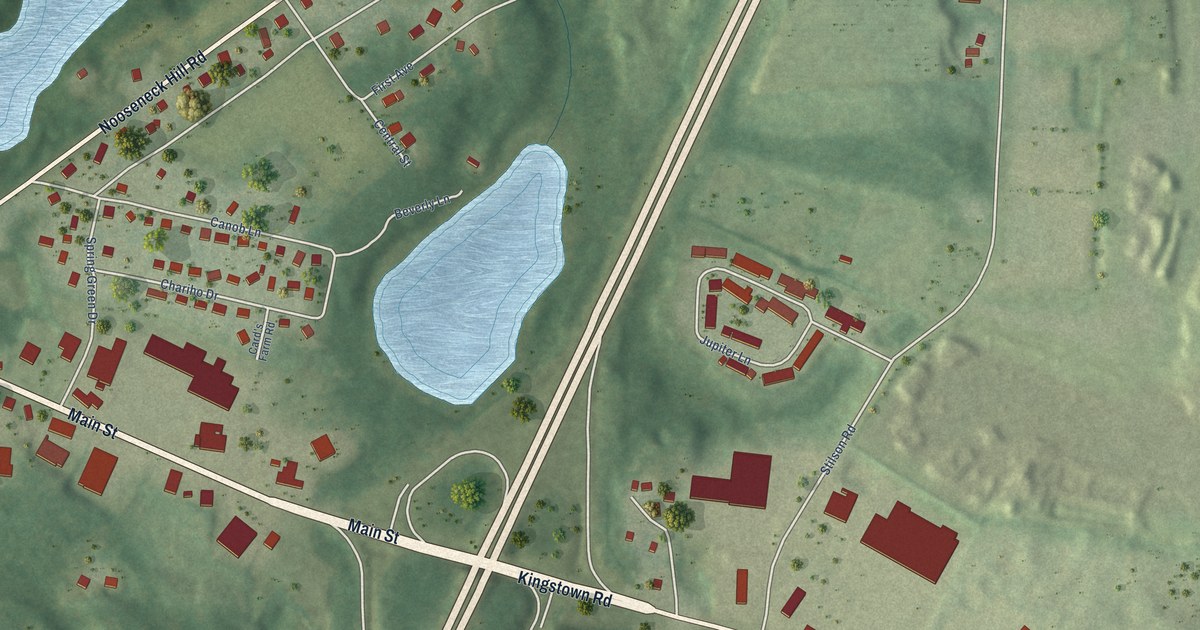
A detailed map of Wyoming, Rhode Island, showing every building in its true location, the roads by name, and shaded topographical relief.
Read More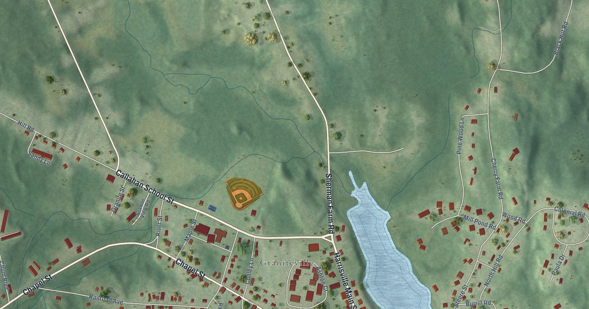
A detailed map of Harrisville, Rhode Island, showing every building in its true location, the roads by name, and shaded topographical relief.
Read More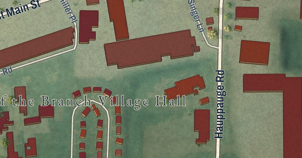
A detailed map of Village of the Branch, New York, showing every building in its true location, the roads by name, and shaded topographical relief.
Read More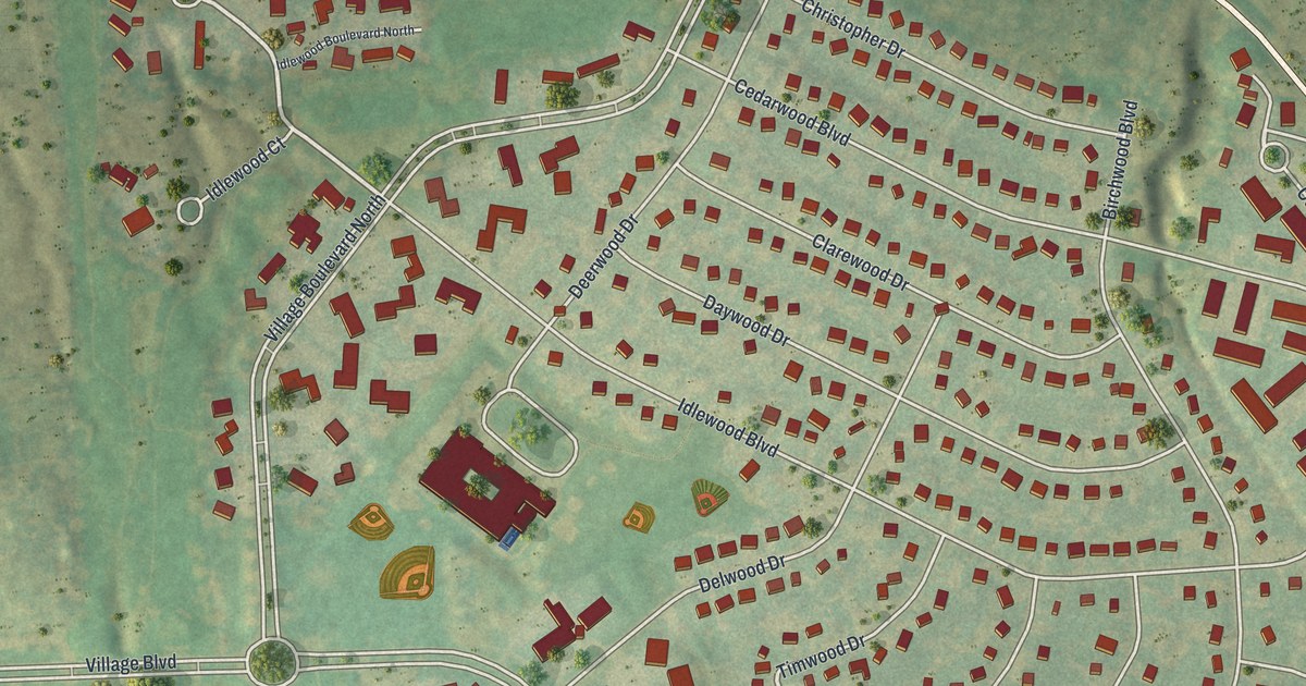
A detailed map of Village Green, New York, showing every building in its true location, the roads by name, and shaded topographical relief.
Read More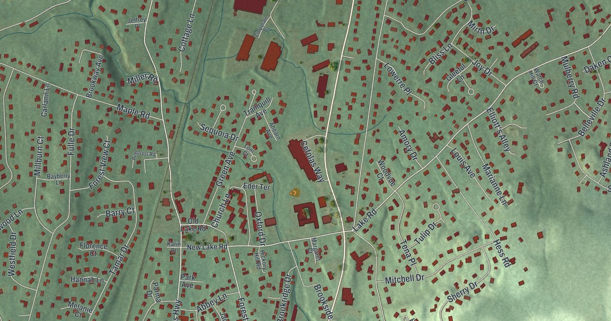
A detailed map of Valley Cottage, New York, showing every building in its true location, the roads by name, and shaded topographical relief.
Read More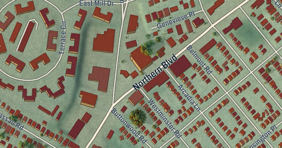
A detailed map of University Gardens, New York, showing every building in its true location, the roads by name, and shaded topographical relief.
Read More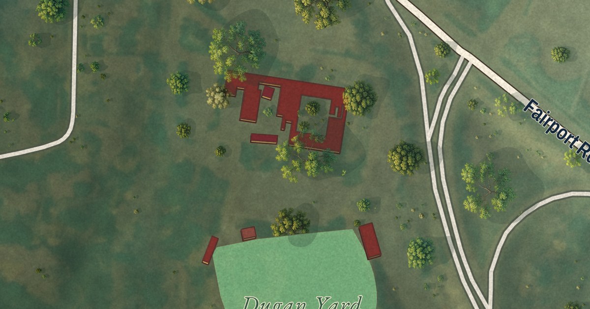
A detailed map of St. John Fisher College, New York, showing every building in its true location, the roads by name, and shaded topographical relief.
Read More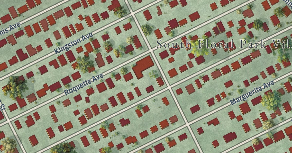
A detailed map of South Floral Park, New York, showing every building in its true location, the roads by name, and shaded topographical relief.
Read More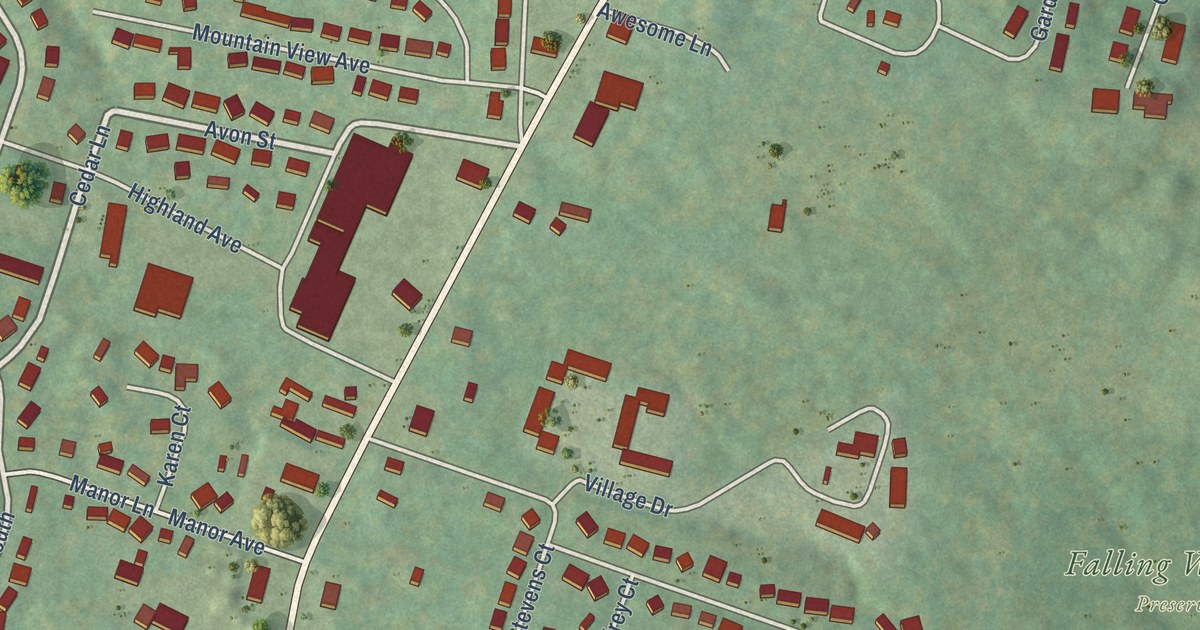
A detailed map of Saugerties South, New York, showing every building in its true location, the roads by name, and shaded topographical relief.
Read More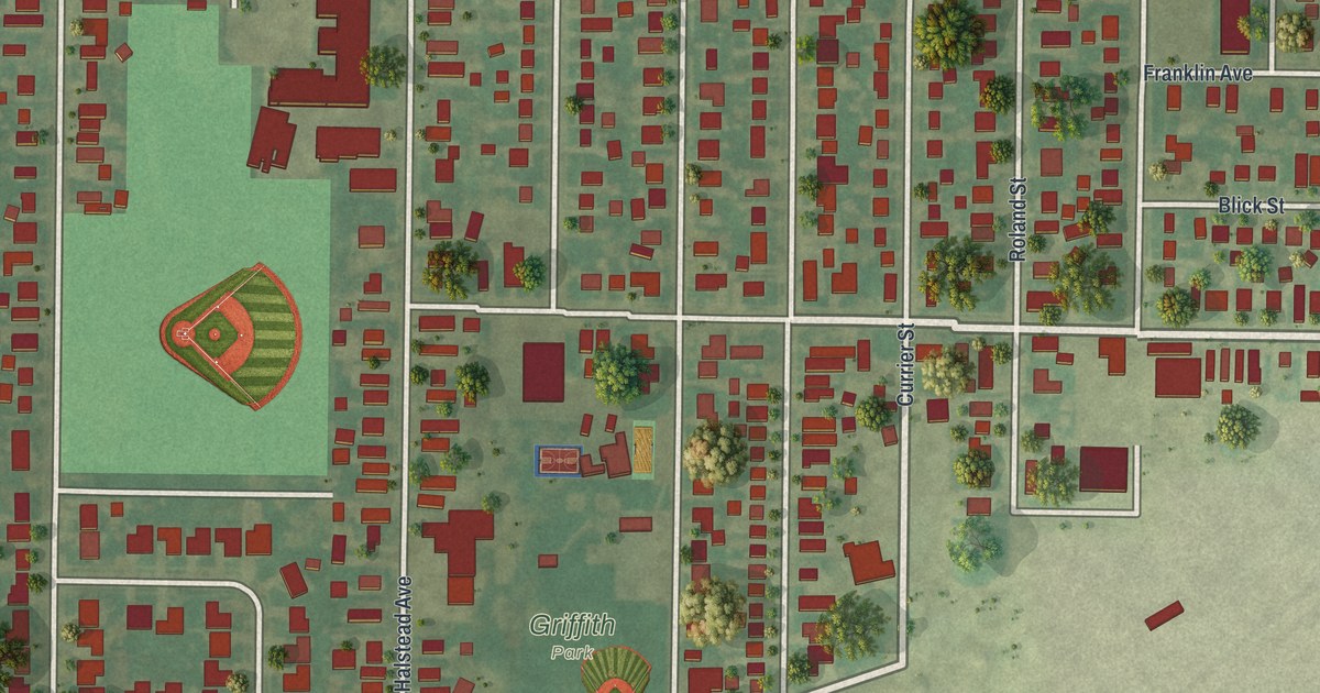
A detailed map of Sloan, New York, showing every building in its true location, the roads by name, and shaded topographical relief.
Read More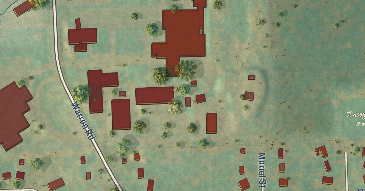
A detailed map of Northeast Ithaca, New York, showing every building in its true location, the roads by name, and shaded topographical relief.
Read More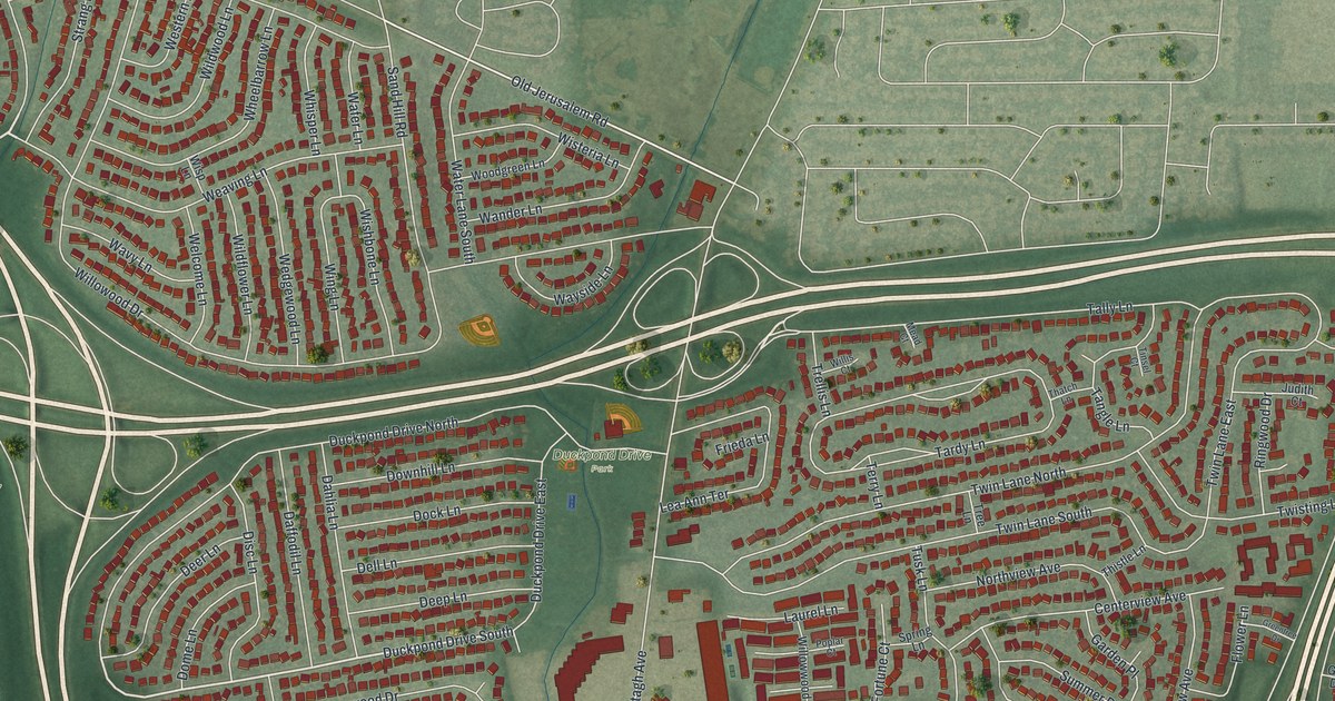
A detailed map of North Wantagh, New York, showing every building in its true location, the roads by name, and shaded topographical relief.
Read More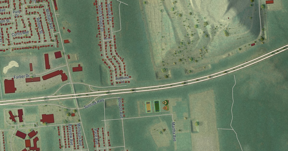
A detailed map of North Bellport, New York, showing every building in its true location, the roads by name, and shaded topographical relief.
Read More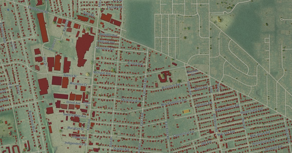
A detailed map of North Bay Shore, New York, showing every building in its true location, the roads by name, and shaded topographical relief.
Read More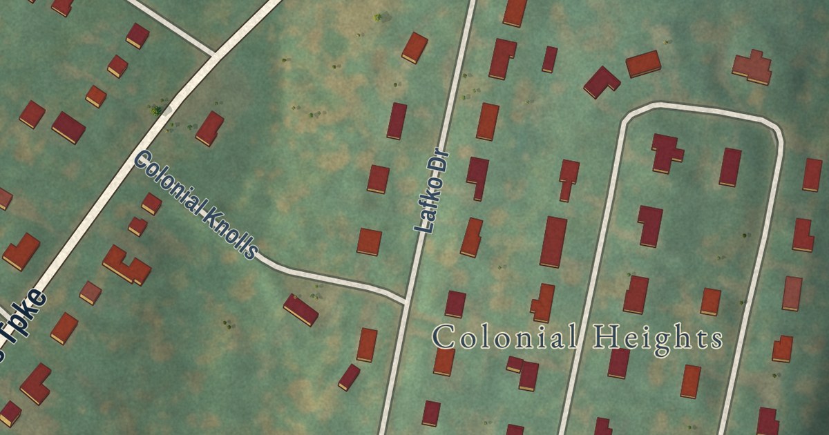
A detailed map of MacDonnell Heights, New York, showing every building in its true location, the roads by name, and shaded topographical relief.
Read More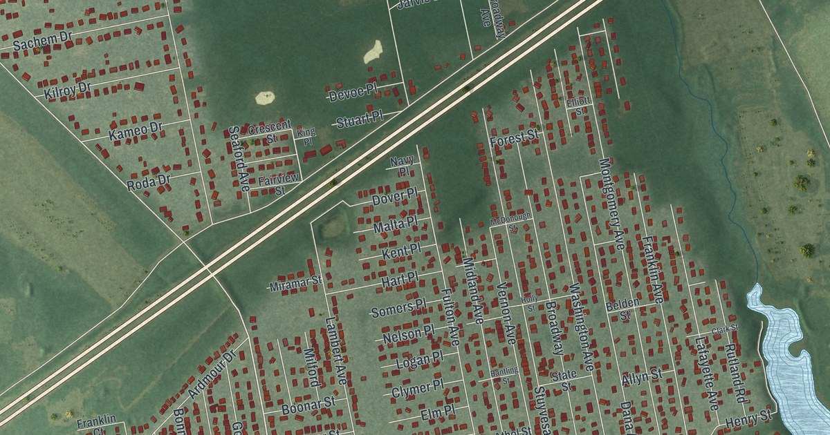
A detailed map of Mastic, New York, showing every building in its true location, the roads by name, and shaded topographical relief.
Read More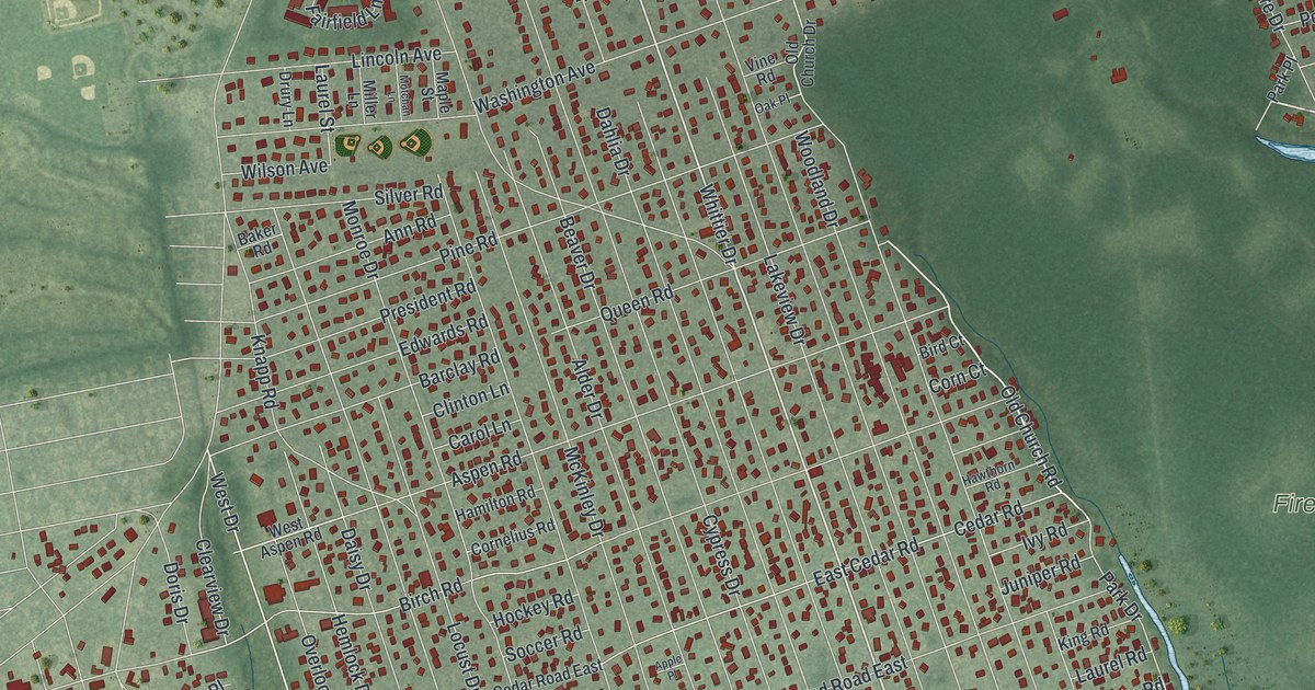
A detailed map of Mastic Beach, New York, showing every building in its true location, the roads by name, and shaded topographical relief.
Read More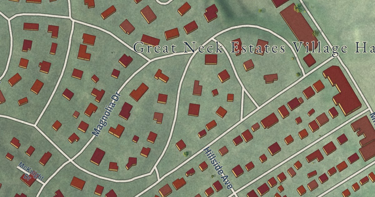
A detailed map of Great Neck Estates, New York, showing every building in its true location, the roads by name, and shaded topographical relief.
Read More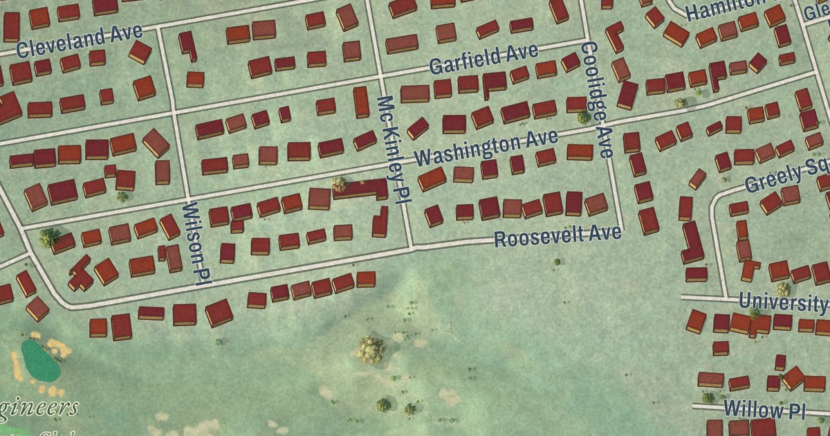
A detailed map of Glenwood Landing, New York, showing every building in its true location, the roads by name, and shaded topographical relief.
Read More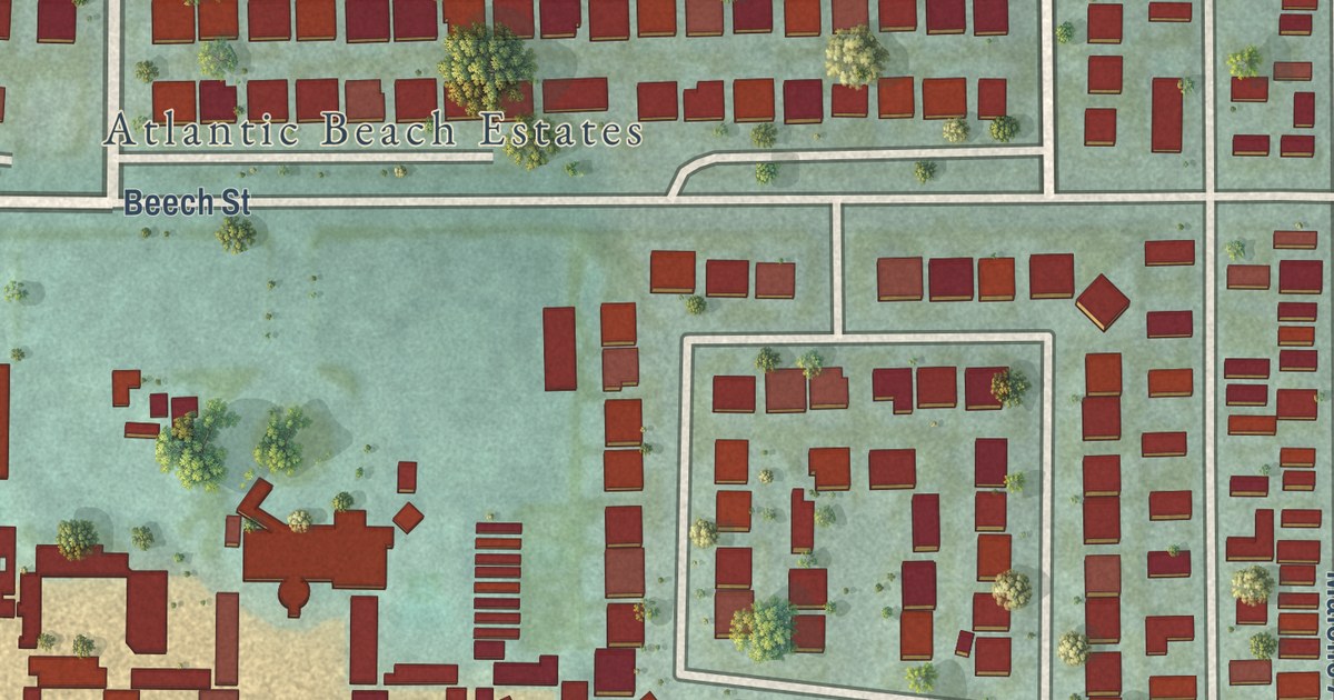
A detailed map of East Atlantic Beach, New York, showing every building in its true location, the roads by name, and shaded topographical relief.
Read More















