Detailed Map of Castleton-on-Hudson, New York
A detailed map of Castleton-on-Hudson, New York, showing every building in its true location, the roads by name, and shaded topographical relief.
Read More
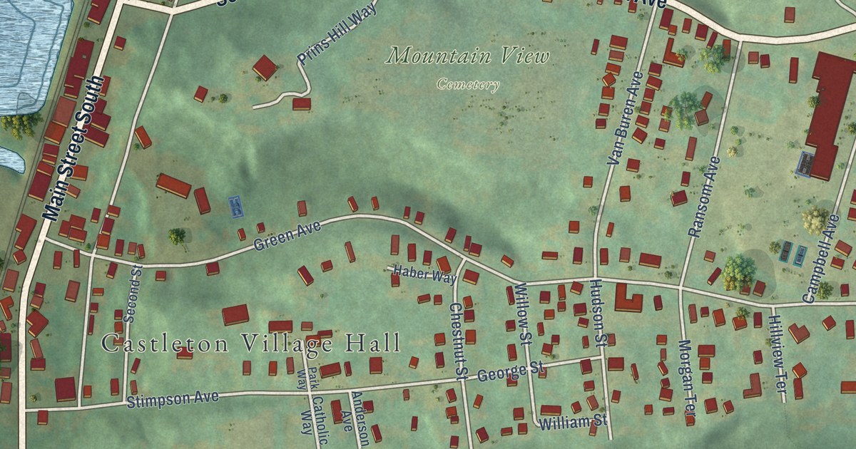
A detailed map of Castleton-on-Hudson, New York, showing every building in its true location, the roads by name, and shaded topographical relief.
Read More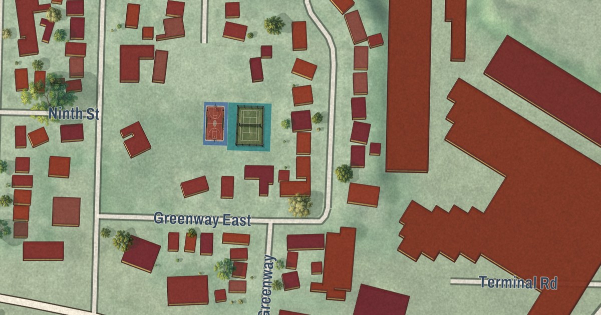
A detailed map of Garden City South, New York, showing every building in its true location, the roads by name, and shaded topographical relief.
Read More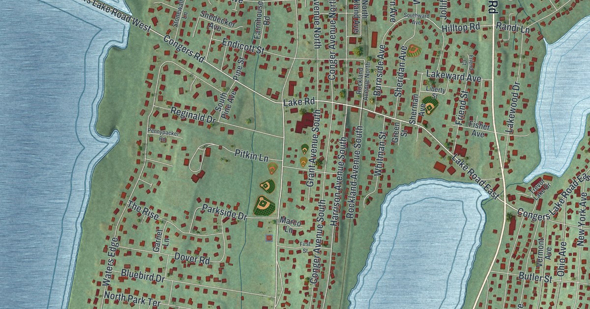
A detailed map of Congers, New York, showing every building in its true location, the roads by name, and shaded topographical relief.
Read More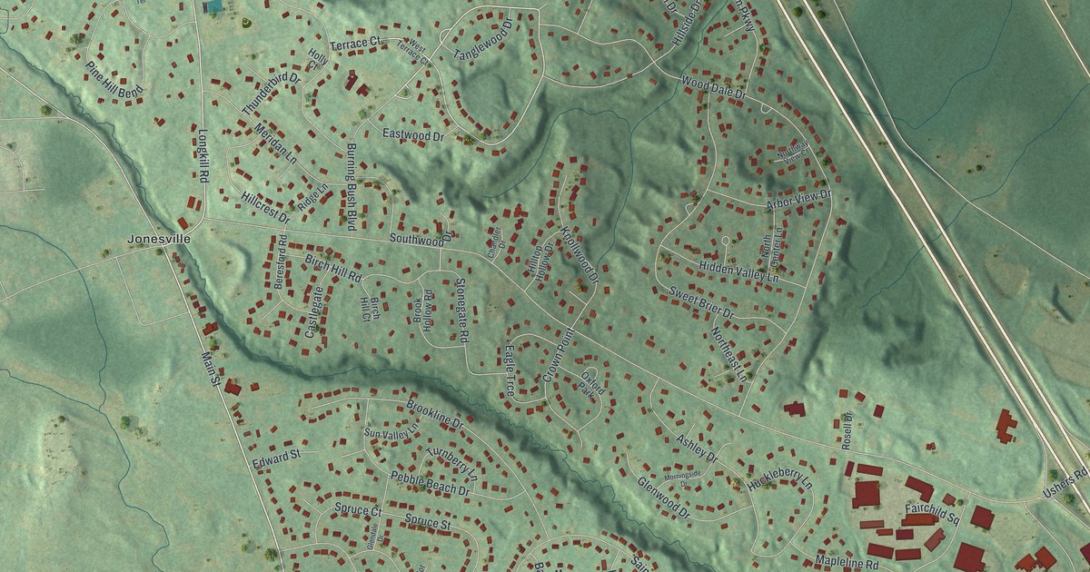
A detailed map of Country Knolls, New York, showing every building in its true location, the roads by name, and shaded topographical relief.
Read More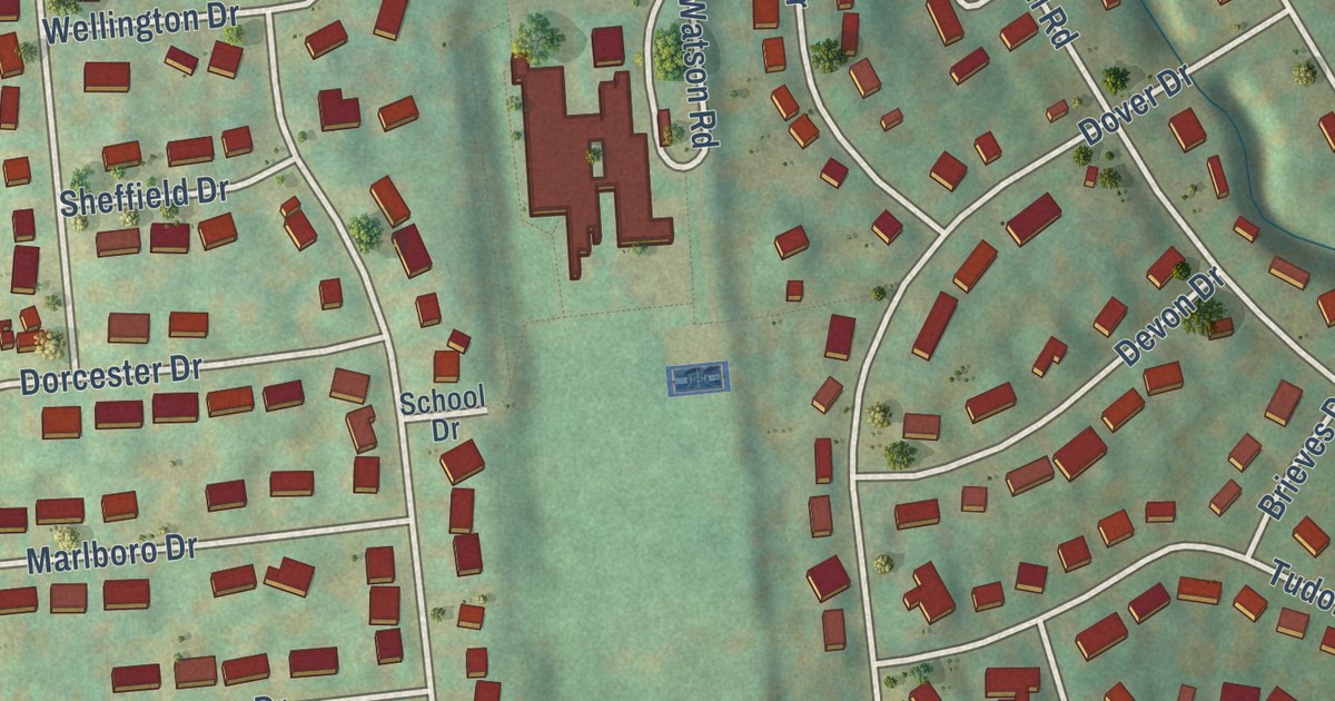
A detailed map of Crest View Heights, New York, showing every building in its true location, the roads by name, and shaded topographical relief.
Read More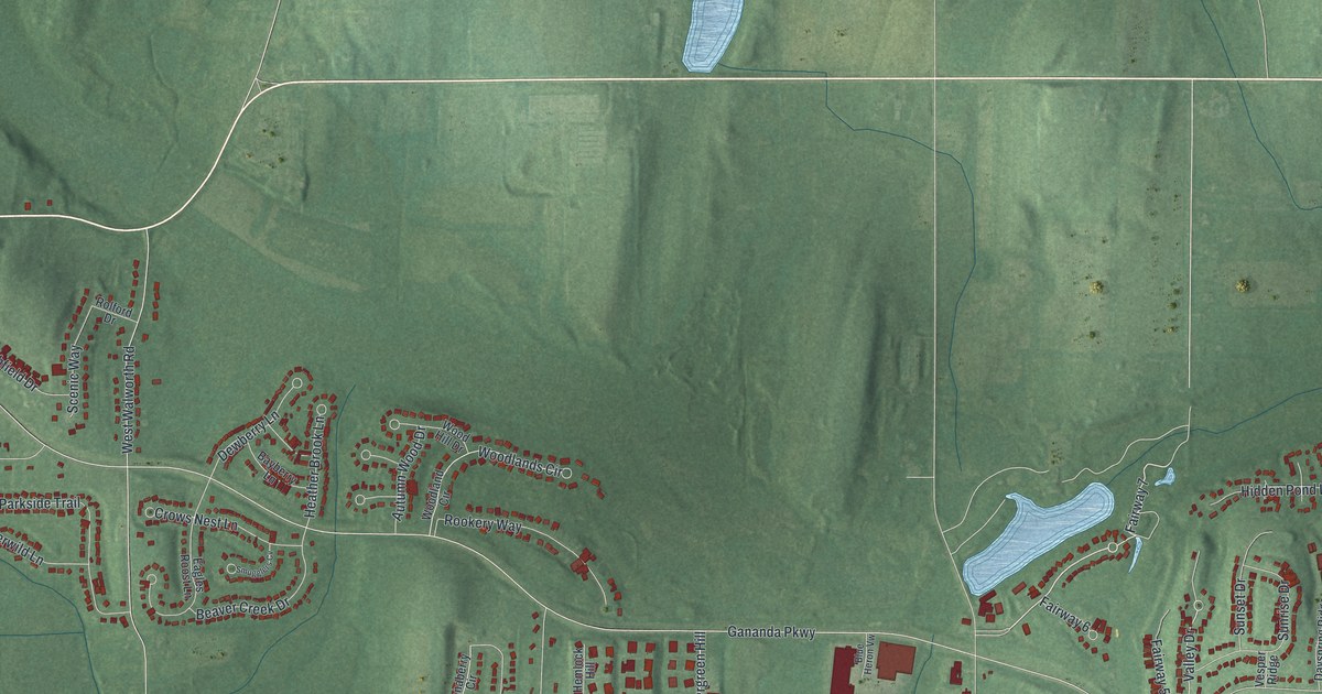
A detailed map of Gananda, New York, showing every building in its true location, the roads by name, and shaded topographical relief.
Read More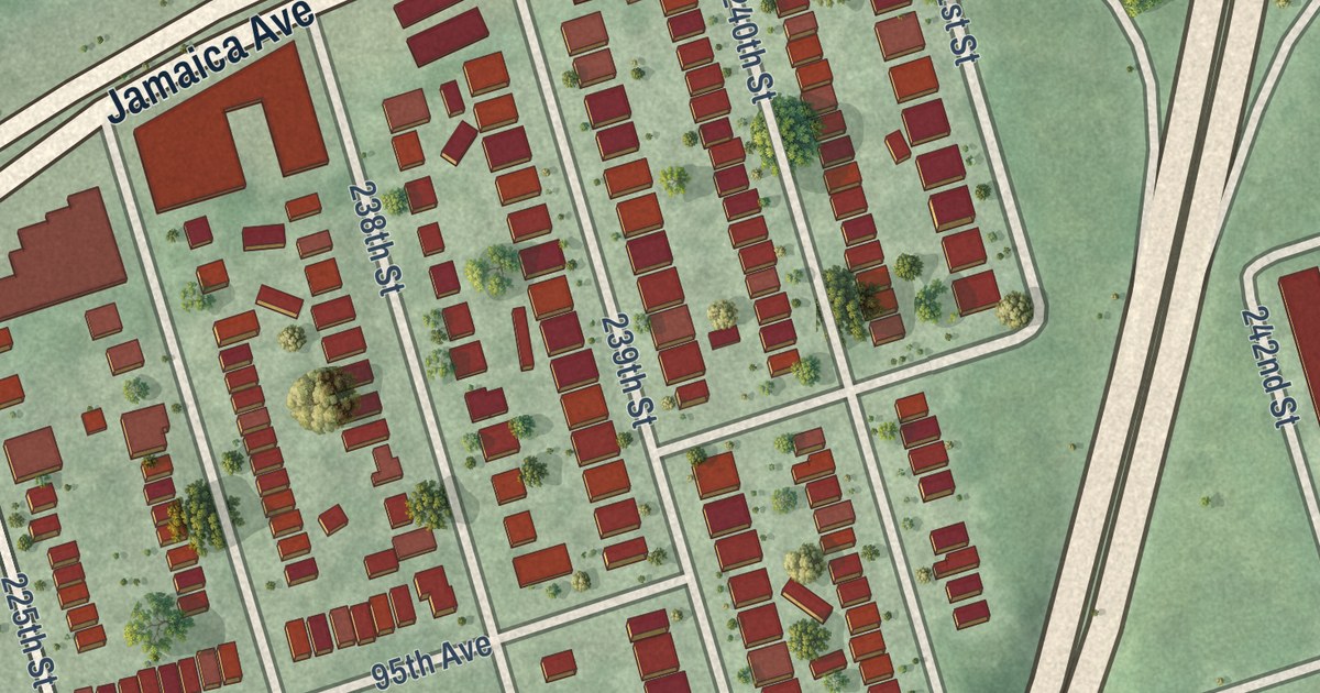
A detailed map of Bellerose Terrace, New York, showing every building in its true location, the roads by name, and shaded topographical relief.
Read More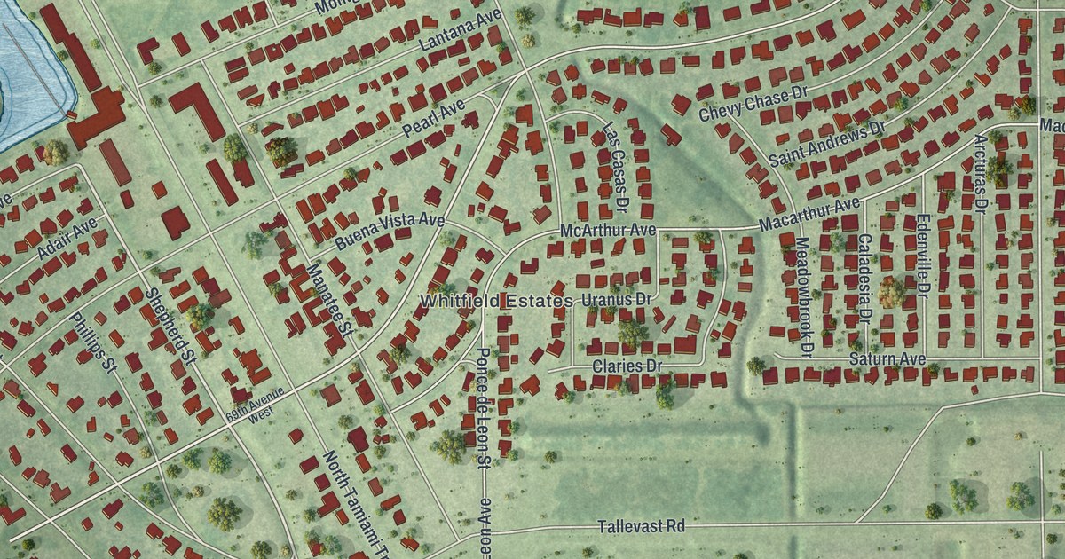
A detailed map of Whitfield, Florida, showing every building in its true location, the roads by name, and shaded topographical relief.
Read More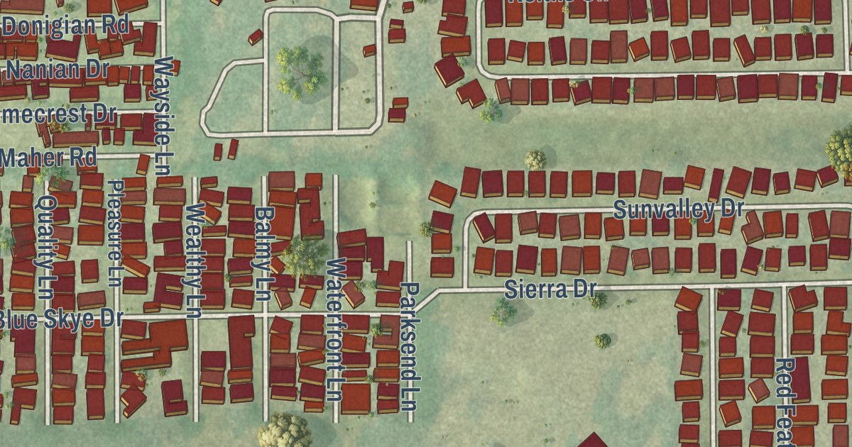
A detailed map of Zephyrhills North, Florida, showing every building in its true location, the roads by name, and shaded topographical relief.
Read More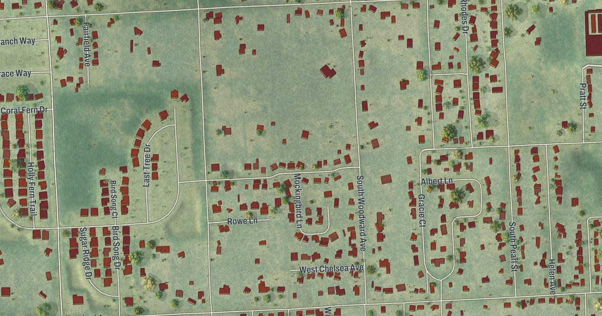
A detailed map of West DeLand, Florida, showing every building in its true location, the roads by name, and shaded topographical relief.
Read More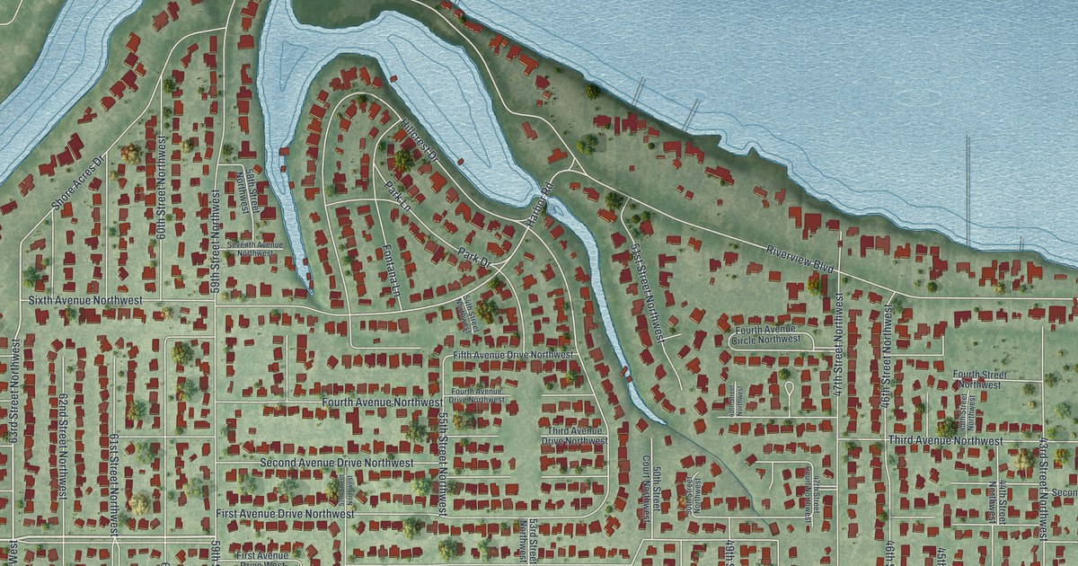
A detailed map of West Bradenton, Florida, showing every building in its true location, the roads by name, and shaded topographical relief.
Read More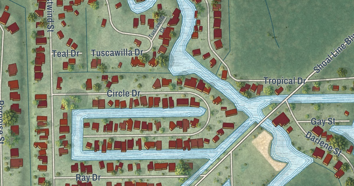
A detailed map of Weeki Wachee Gardens, Florida, showing every building in its true location, the roads by name, and shaded topographical relief.
Read More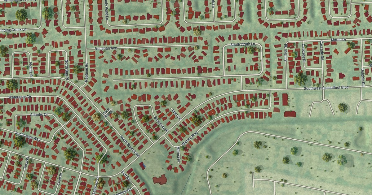
A detailed map of Watergate, Florida, showing every building in its true location, the roads by name, and shaded topographical relief.
Read More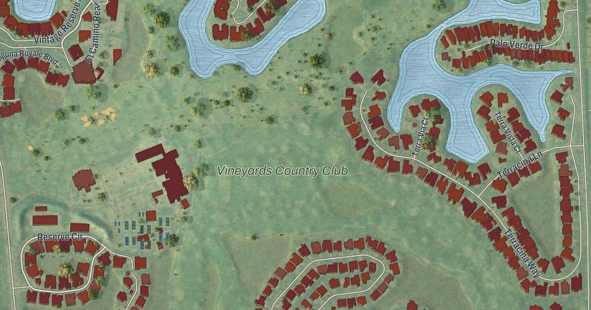
A detailed map of Vineyards, Florida, showing every building in its true location, the roads by name, and shaded topographical relief.
Read More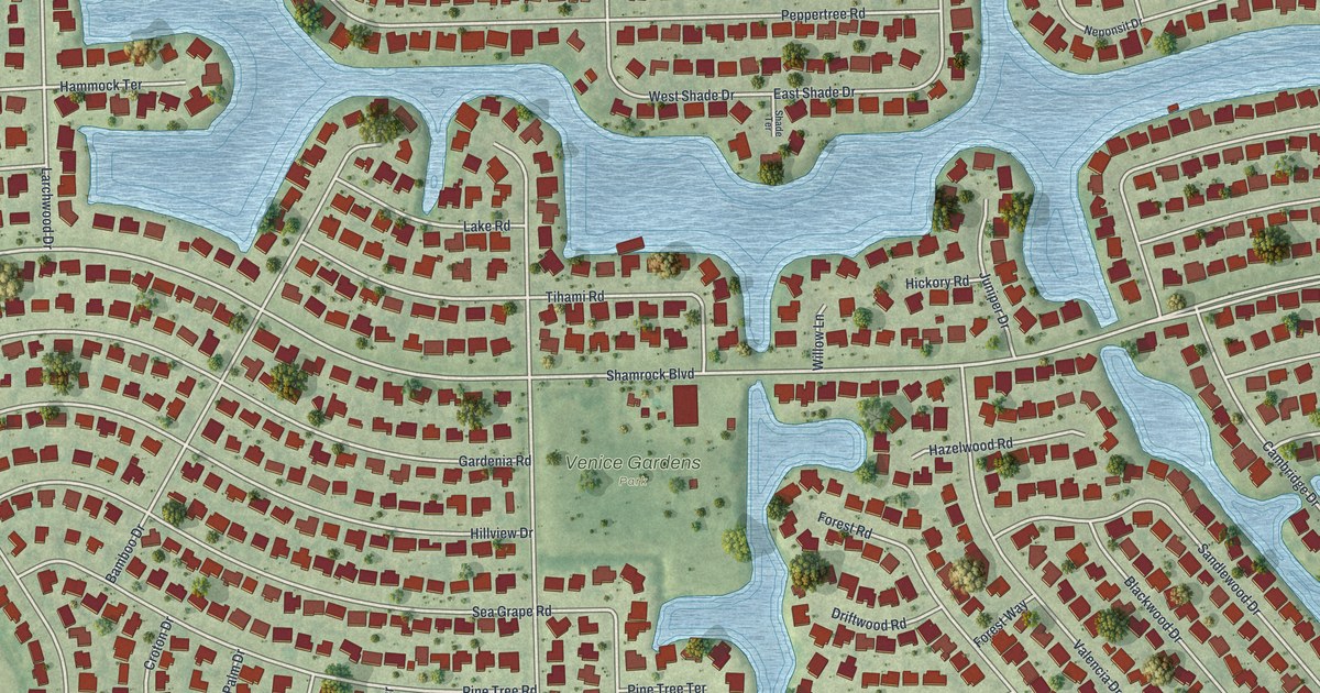
A detailed map of Venice Gardens, Florida, showing every building in its true location, the roads by name, and shaded topographical relief.
Read More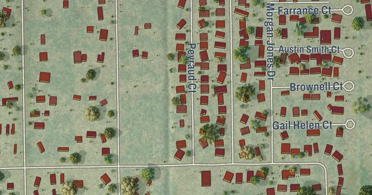
A detailed map of Suncoast Estates, Florida, showing every building in its true location, the roads by name, and shaded topographical relief.
Read More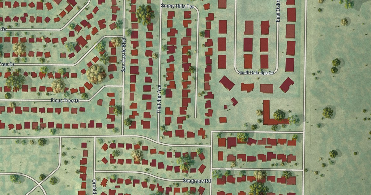
A detailed map of San Castle, Florida, showing every building in its true location, the roads by name, and shaded topographical relief.
Read More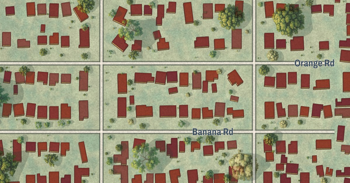
A detailed map of Royal Palm Estates, Florida, showing every building in its true location, the roads by name, and shaded topographical relief.
Read More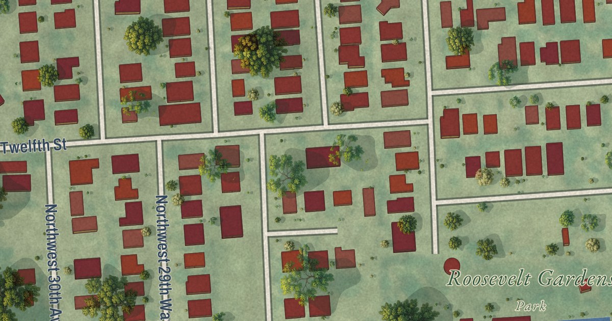
A detailed map of Roosevelt Gardens, Florida, showing every building in its true location, the roads by name, and shaded topographical relief.
Read More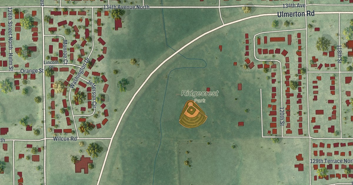
A detailed map of Ridgecrest, Florida, showing every building in its true location, the roads by name, and shaded topographical relief.
Read More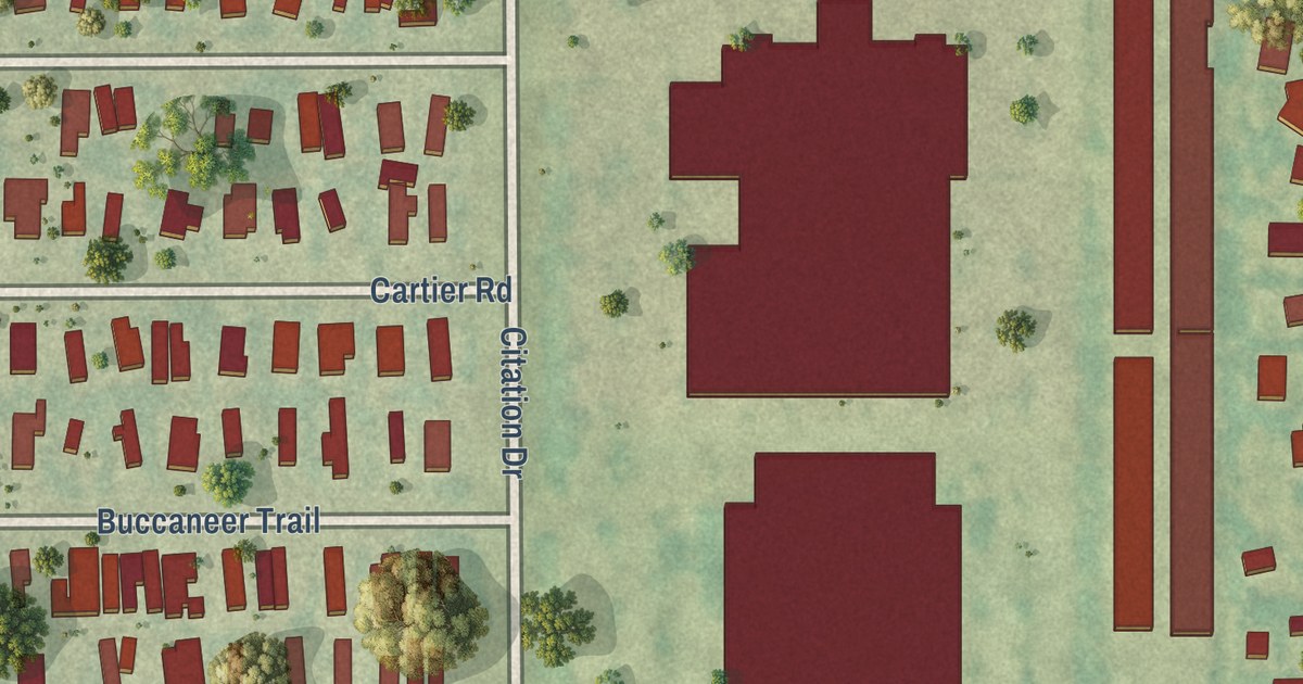
A detailed map of Plantation Mobile Home Park, Florida, showing every building in its true location, the roads by name, and shaded topographical relief.
Read More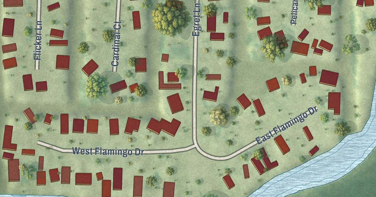
A detailed map of Plantation Island, Florida, showing every building in its true location, the roads by name, and shaded topographical relief.
Read More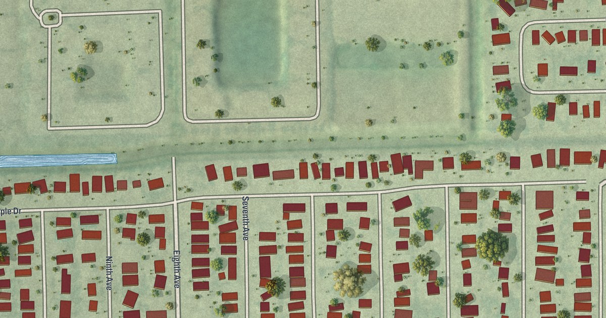
A detailed map of Pine Manor, Florida, showing every building in its true location, the roads by name, and shaded topographical relief.
Read More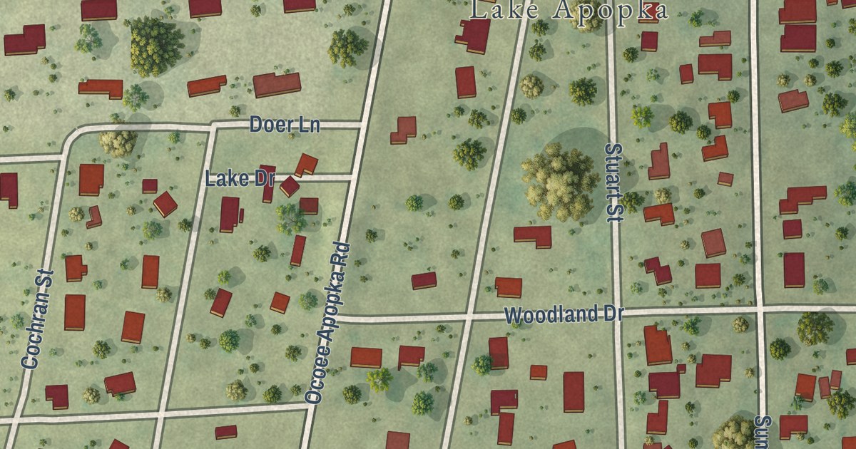
A detailed map of Paradise Heights, Florida, showing every building in its true location, the roads by name, and shaded topographical relief.
Read More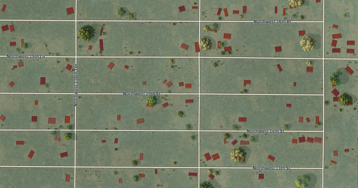
A detailed map of Ocala Estates, Florida, showing every building in its true location, the roads by name, and shaded topographical relief.
Read More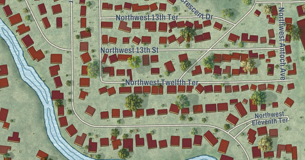
A detailed map of North River Shores, Florida, showing every building in its true location, the roads by name, and shaded topographical relief.
Read More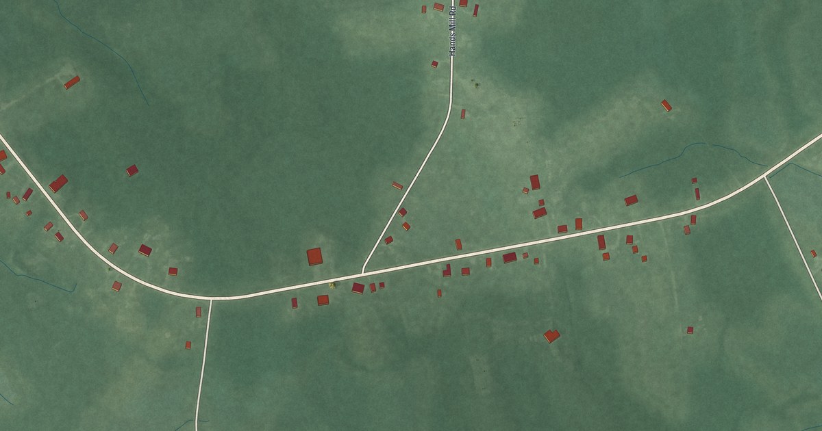
A detailed map of Delmont, New Jersey, showing every building in its true location, the roads by name, and shaded topographical relief.
Read More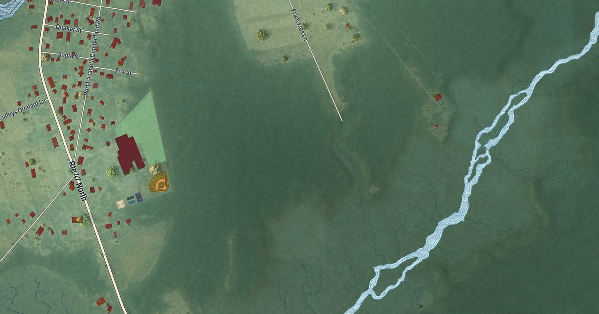
A detailed map of Port Elizabeth, New Jersey, showing every building in its true location, the roads by name, and shaded topographical relief.
Read More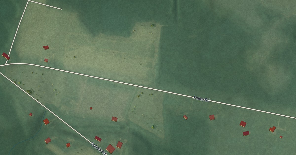
A detailed map of Seeley, New Jersey, showing every building in its true location, the roads by name, and shaded topographical relief.
Read More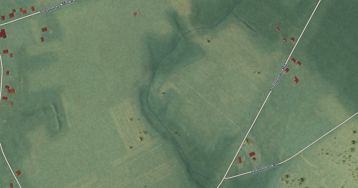
A detailed map of Othello, New Jersey, showing every building in its true location, the roads by name, and shaded topographical relief.
Read More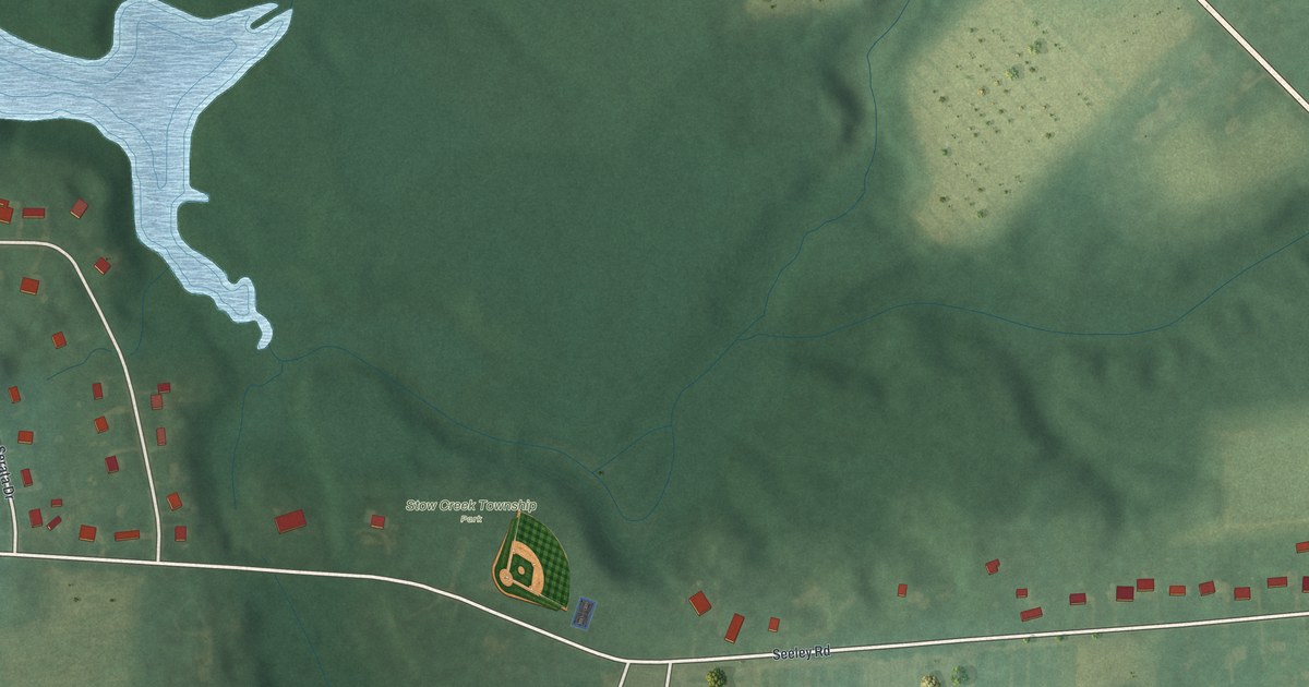
A detailed map of Arrowhead Lake, New Jersey, showing every building in its true location, the roads by name, and shaded topographical relief.
Read More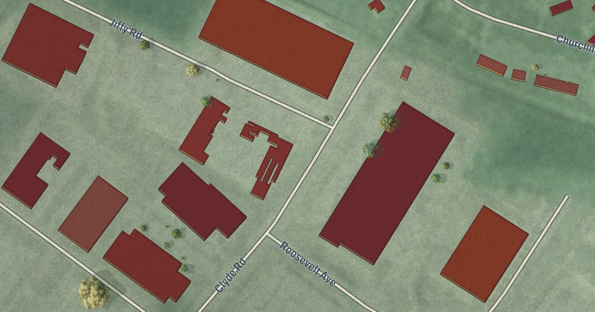
A detailed map of Clyde, New Jersey, showing every building in its true location, the roads by name, and shaded topographical relief.
Read More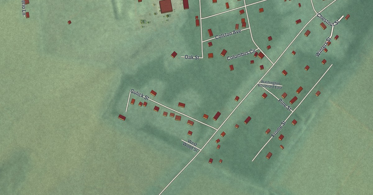
A detailed map of Anderson, New Jersey, showing every building in its true location, the roads by name, and shaded topographical relief.
Read More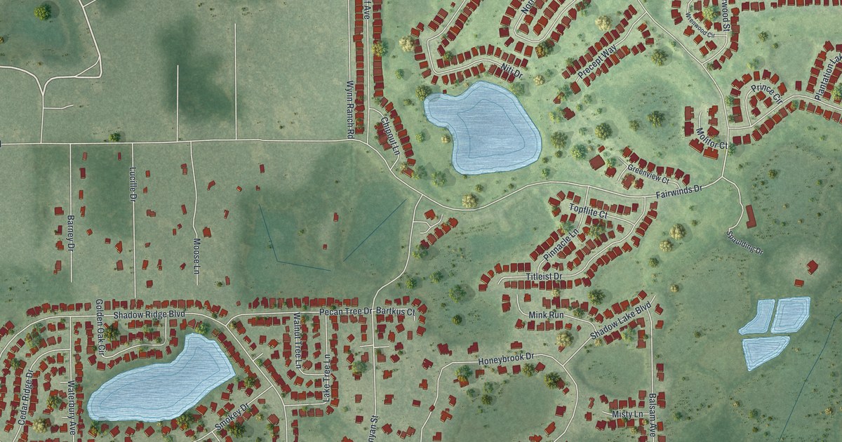
A detailed map of Meadow Oaks, Florida, showing every building in its true location, the roads by name, and shaded topographical relief.
Read More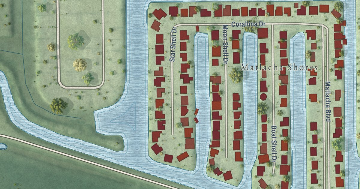
A detailed map of Matlacha Isles-Matlacha Shores, Florida, showing every building in its true location, the roads by name, and shaded topographical relief.
Read More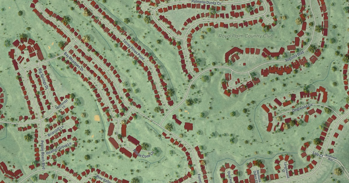
A detailed map of Lely, Florida, showing every building in its true location, the roads by name, and shaded topographical relief.
Read More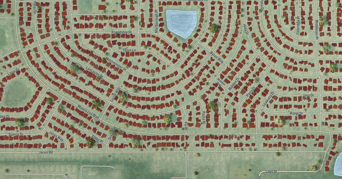
A detailed map of Lake Sarasota, Florida, showing every building in its true location, the roads by name, and shaded topographical relief.
Read More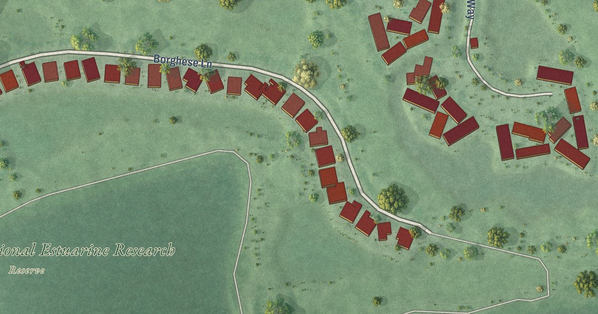
A detailed map of Marco Shores-Hammock Bay, Florida, showing every building in its true location, the roads by name, and shaded topographical relief.
Read More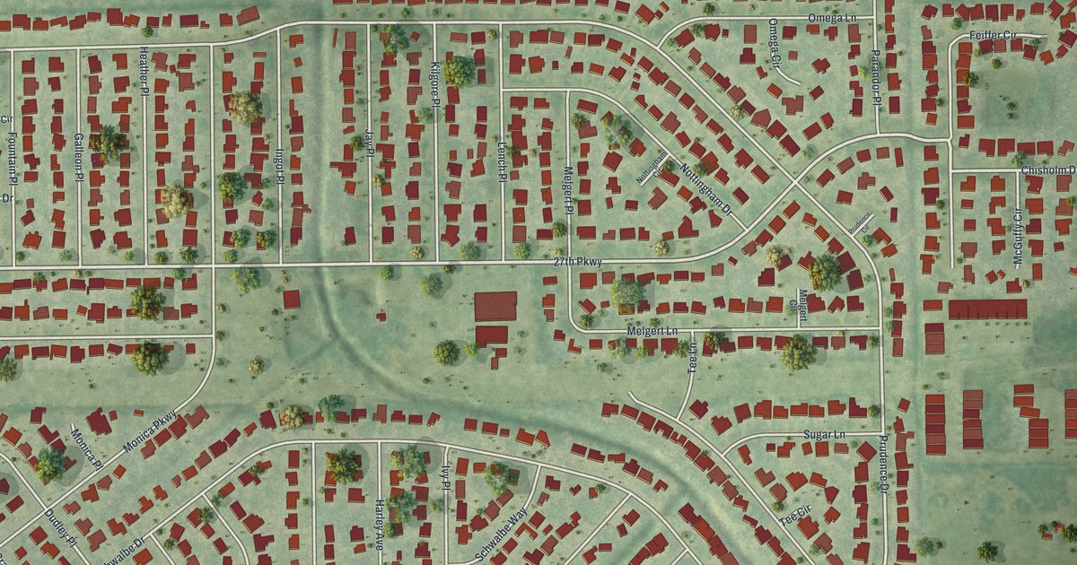
A detailed map of Kensington Park, Florida, showing every building in its true location, the roads by name, and shaded topographical relief.
Read More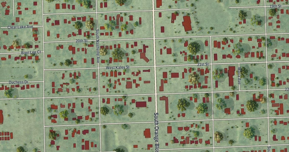
A detailed map of Holden Heights, Florida, showing every building in its true location, the roads by name, and shaded topographical relief.
Read More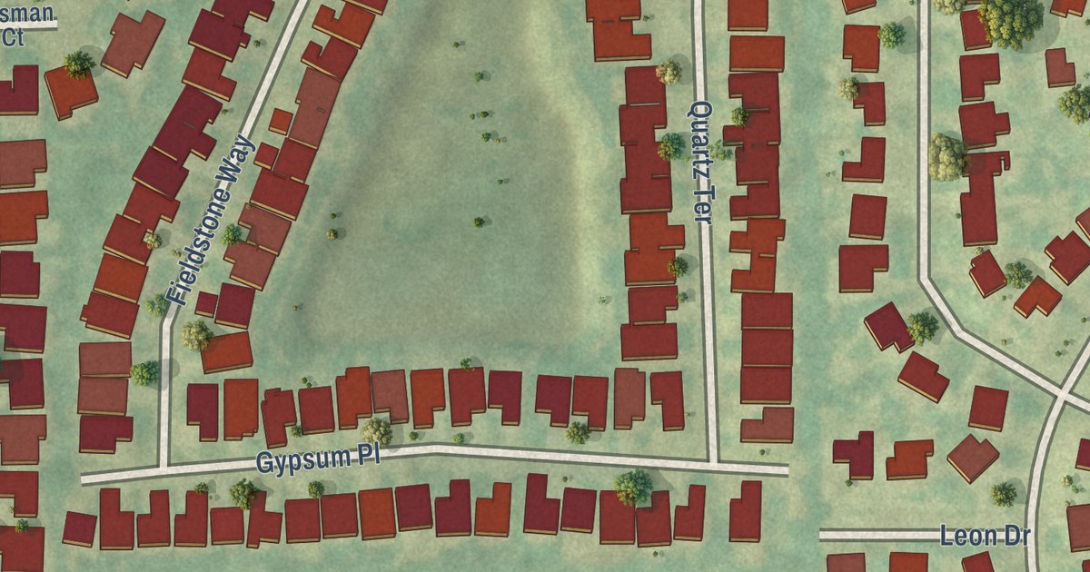
A detailed map of Lake Belvedere Estates, Florida, showing every building in its true location, the roads by name, and shaded topographical relief.
Read More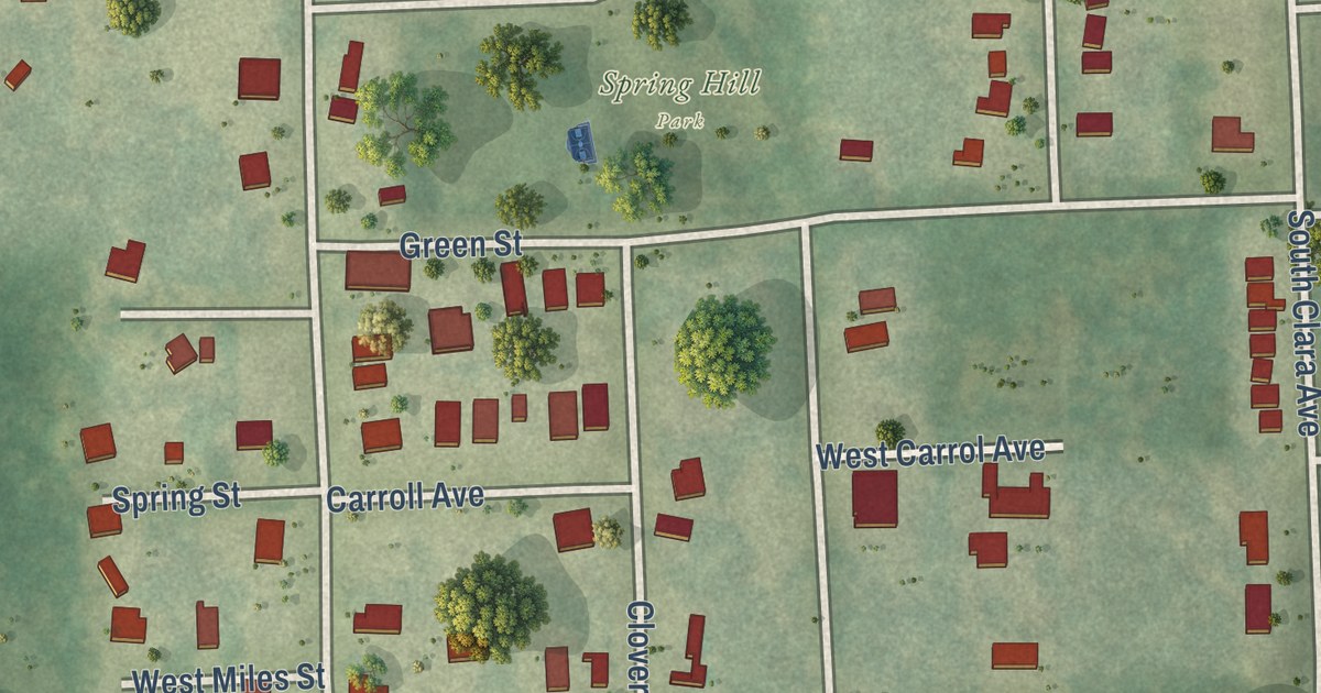
A detailed map of DeLand Southwest, Florida, showing every building in its true location, the roads by name, and shaded topographical relief.
Read More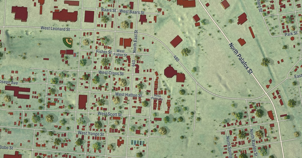
A detailed map of Goulding, Florida, showing every building in its true location, the roads by name, and shaded topographical relief.
Read More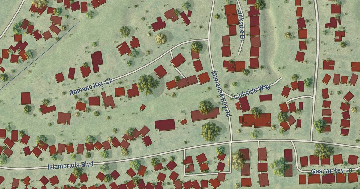
A detailed map of Burnt Store Marina, Florida, showing every building in its true location, the roads by name, and shaded topographical relief.
Read More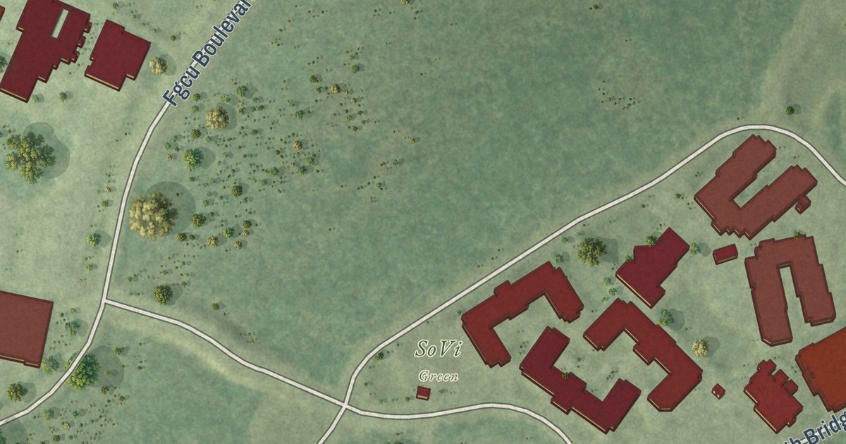
A detailed map of Florida Gulf Coast University, Florida, showing every building in its true location, the roads by name, and shaded topographical relief.
Read More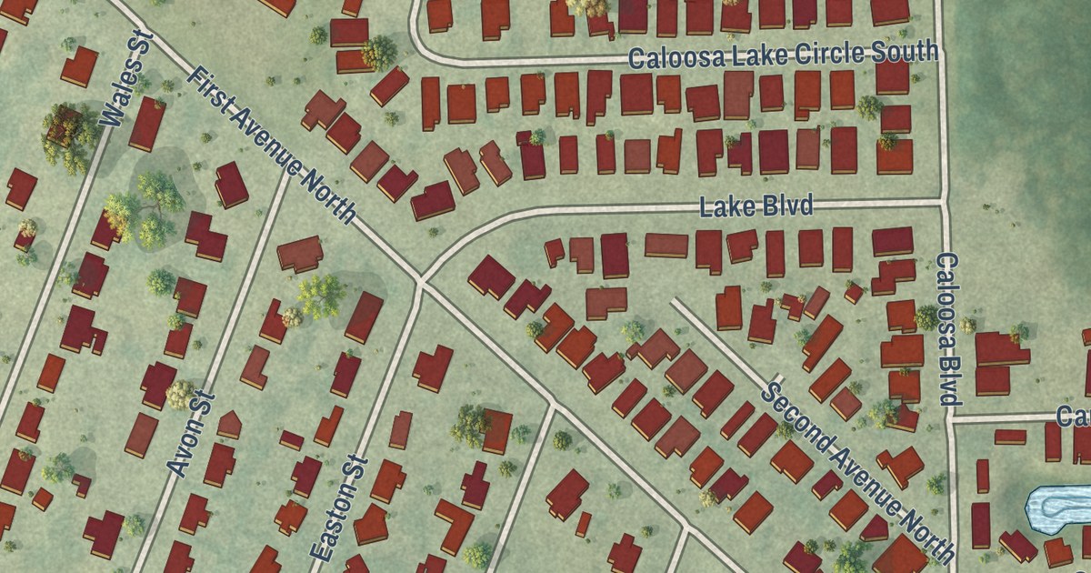
A detailed map of Crooked Lake Park, Florida, showing every building in its true location, the roads by name, and shaded topographical relief.
Read More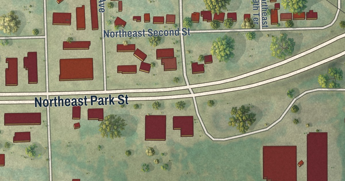
A detailed map of Cypress Quarters, Florida, showing every building in its true location, the roads by name, and shaded topographical relief.
Read More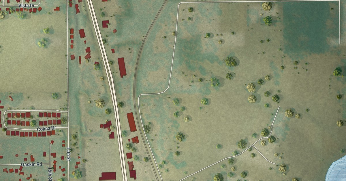
A detailed map of Dade City North, Florida, showing every building in its true location, the roads by name, and shaded topographical relief.
Read More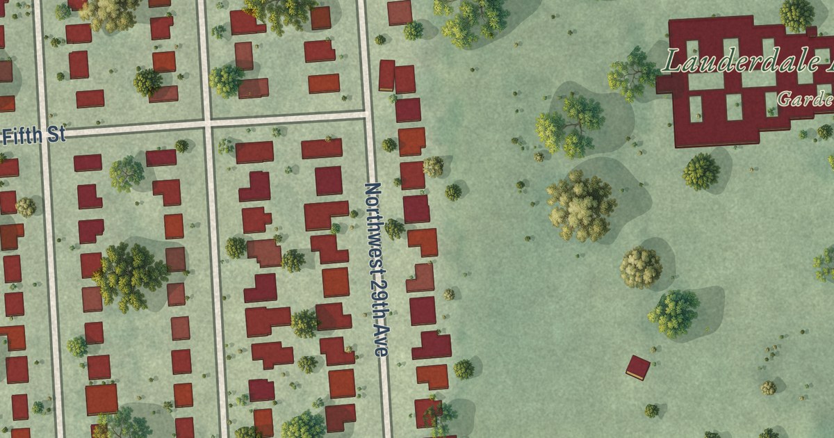
A detailed map of Boulevard Gardens, Florida, showing every building in its true location, the roads by name, and shaded topographical relief.
Read More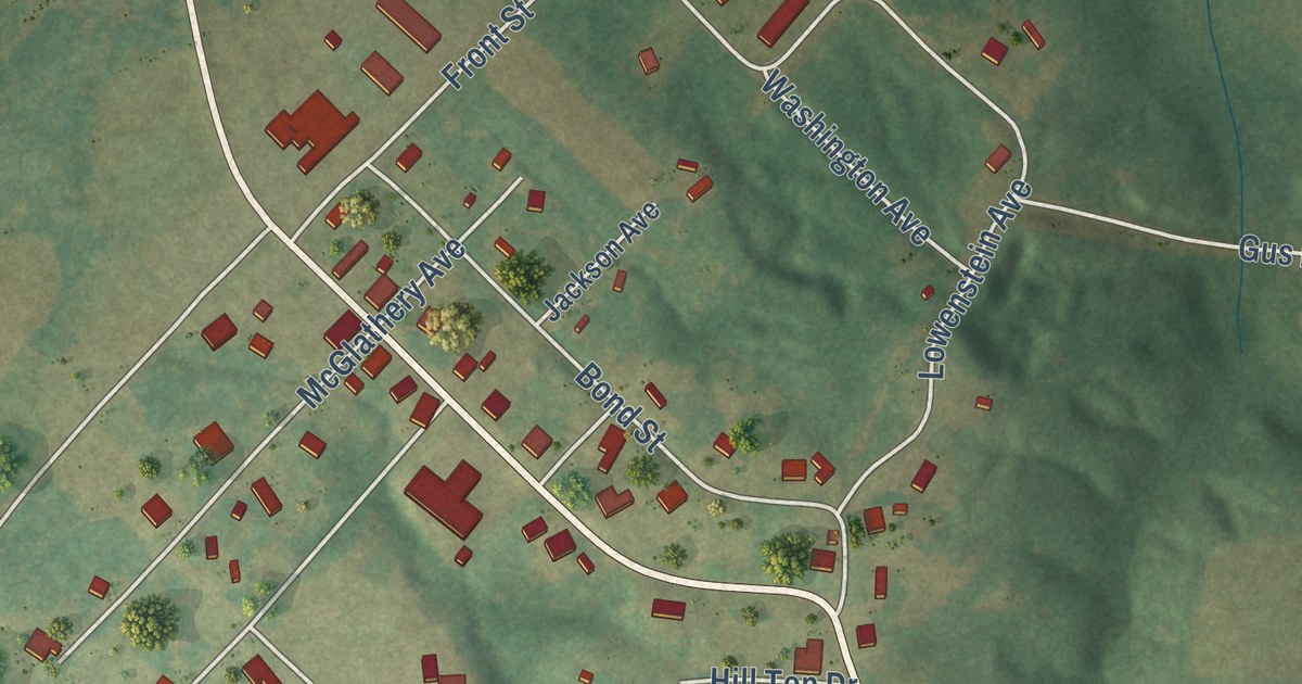
A detailed map of Mercer, Tennessee, showing every building in its true location, the roads by name, and shaded topographical relief.
Read More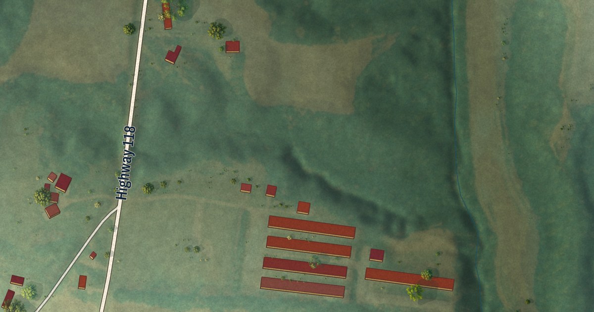
A detailed map of Dukedom, Tennessee, showing every building in its true location, the roads by name, and shaded topographical relief.
Read More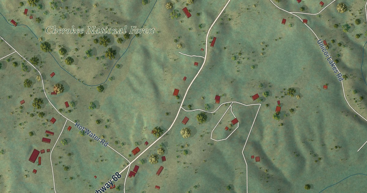
A detailed map of Coker Creek, Tennessee, showing every building in its true location, the roads by name, and shaded topographical relief.
Read More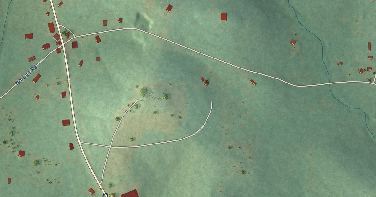
A detailed map of Norene, Tennessee, showing every building in its true location, the roads by name, and shaded topographical relief.
Read More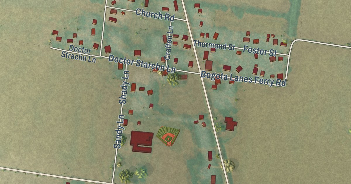
A detailed map of Bogota, Tennessee, showing every building in its true location, the roads by name, and shaded topographical relief.
Read More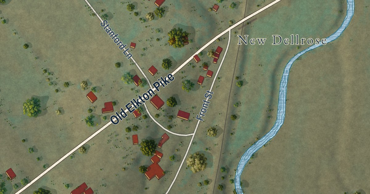
A detailed map of Dellrose, Tennessee, showing every building in its true location, the roads by name, and shaded topographical relief.
Read More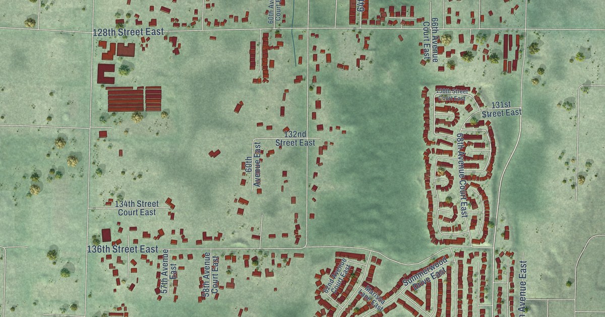
A detailed map of Summit View, Washington, showing every building in its true location, the roads by name, and shaded topographical relief.
Read More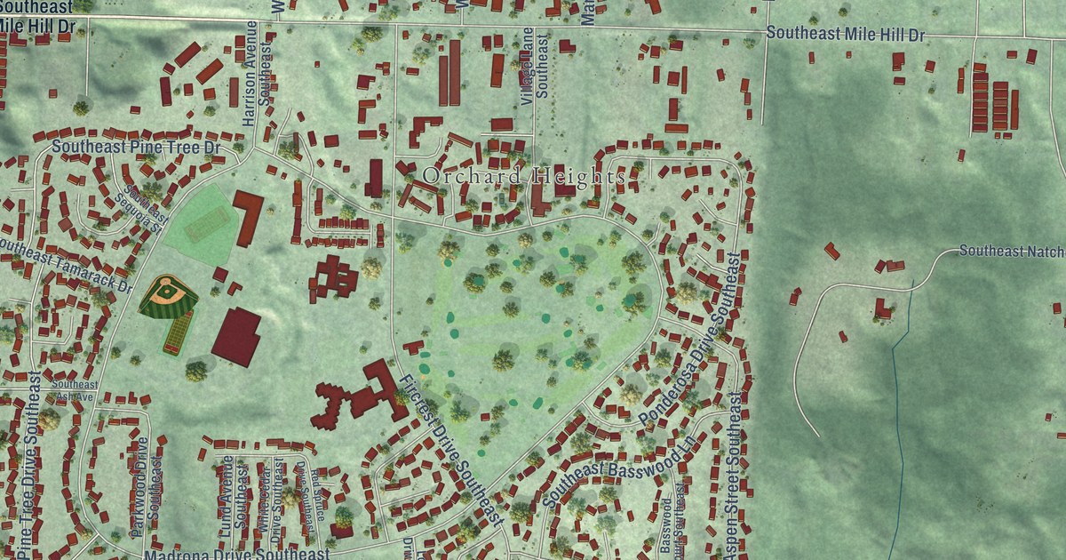
A detailed map of Parkwood, Washington, showing every building in its true location, the roads by name, and shaded topographical relief.
Read More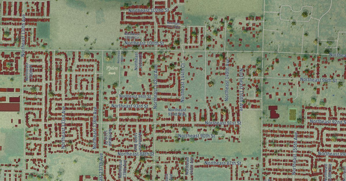
A detailed map of Orchards, Washington, showing every building in its true location, the roads by name, and shaded topographical relief.
Read More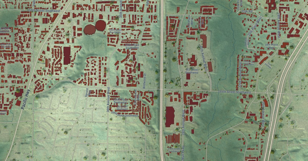
A detailed map of North Lynnwood, Washington, showing every building in its true location, the roads by name, and shaded topographical relief.
Read More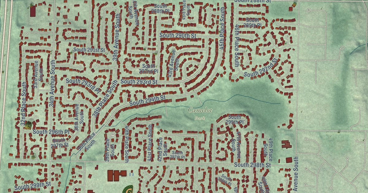
A detailed map of Lakeland North, Washington, showing every building in its true location, the roads by name, and shaded topographical relief.
Read More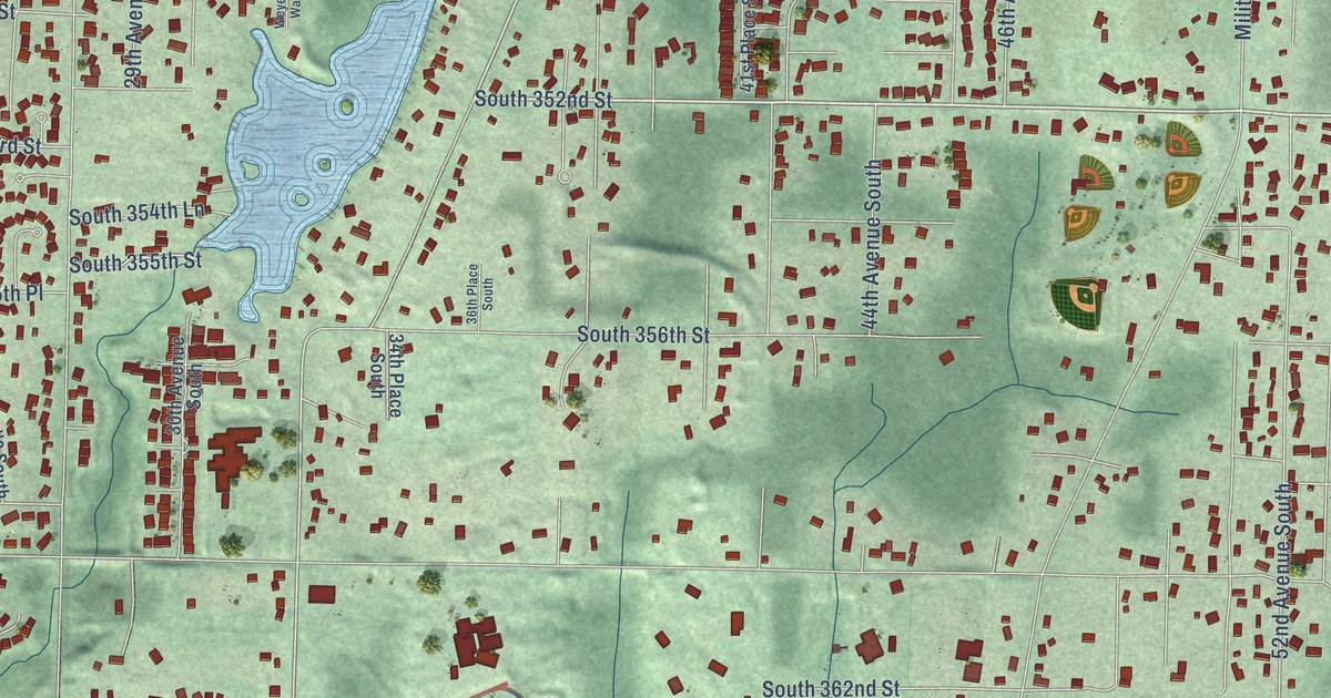
A detailed map of Lakeland South, Washington, showing every building in its true location, the roads by name, and shaded topographical relief.
Read More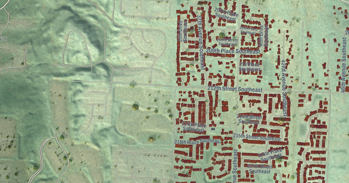
A detailed map of Bothell East, Washington, showing every building in its true location, the roads by name, and shaded topographical relief.
Read More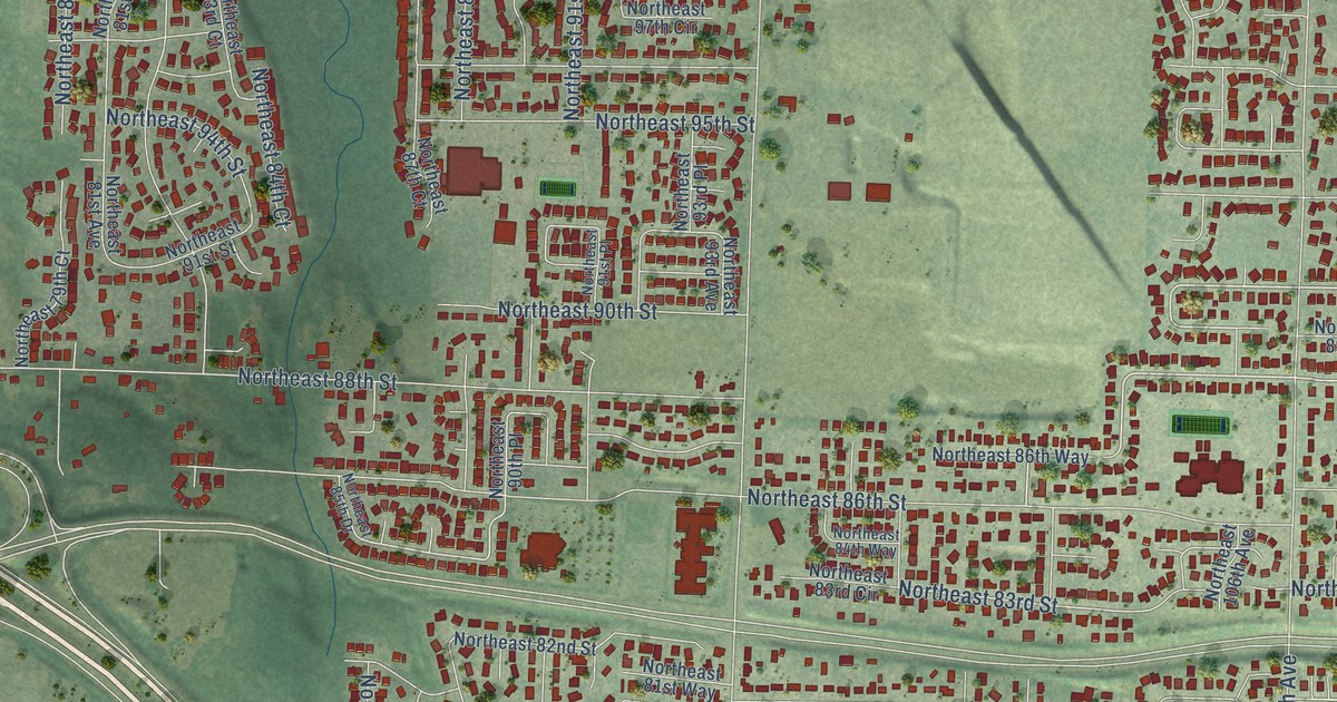
A detailed map of Five Corners, Washington, showing every building in its true location, the roads by name, and shaded topographical relief.
Read More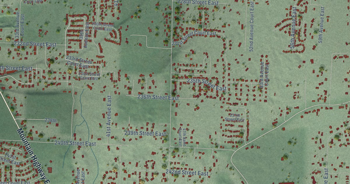
A detailed map of Elk Plain, Washington, showing every building in its true location, the roads by name, and shaded topographical relief.
Read More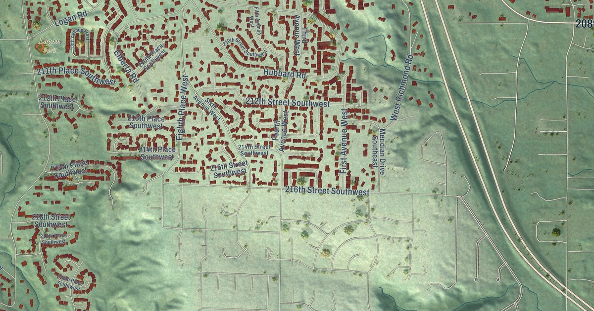
A detailed map of Bothell West, Washington, showing every building in its true location, the roads by name, and shaded topographical relief.
Read More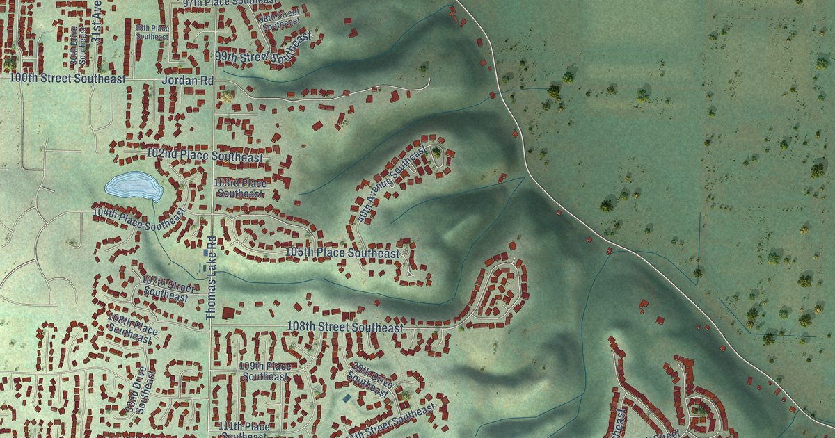
A detailed map of Eastmont, Washington, showing every building in its true location, the roads by name, and shaded topographical relief.
Read More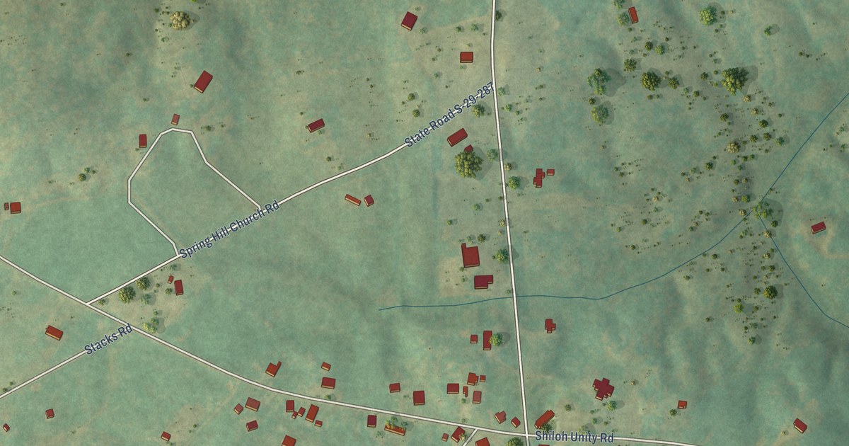
A detailed map of Tradesville, South Carolina, showing every building in its true location, the roads by name, and shaded topographical relief.
Read More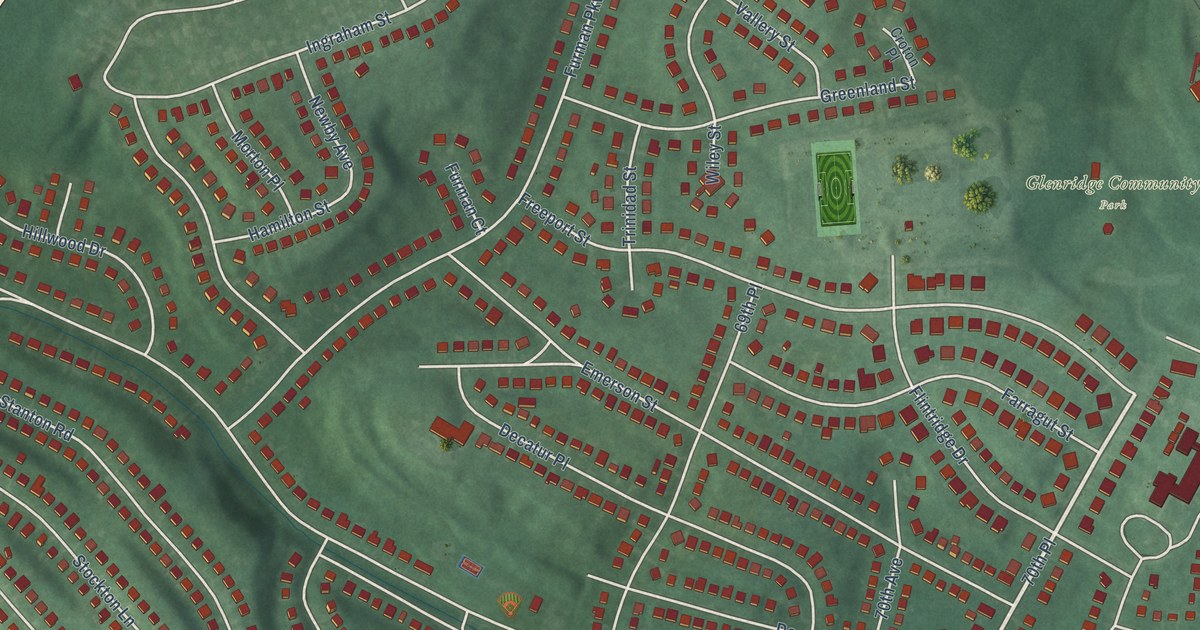
A detailed map of Woodlawn, Maryland, showing every building in its true location, the roads by name, and shaded topographical relief.
Read More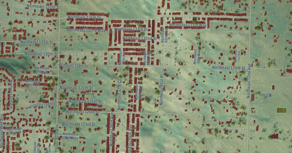
A detailed map of Barberton, Washington, showing every building in its true location, the roads by name, and shaded topographical relief.
Read More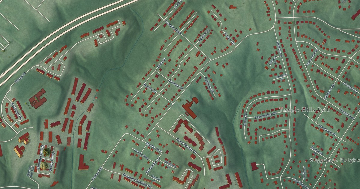
A detailed map of Temple Hills, Maryland, showing every building in its true location, the roads by name, and shaded topographical relief.
Read More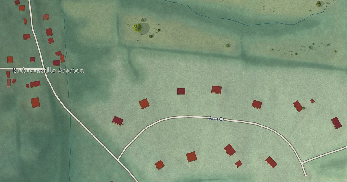
A detailed map of Trego-Rohrersville Station, Maryland, showing every building in its true location, the roads by name, and shaded topographical relief.
Read More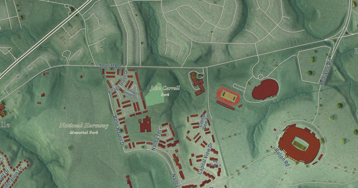
A detailed map of Summerfield, Maryland, showing every building in its true location, the roads by name, and shaded topographical relief.
Read More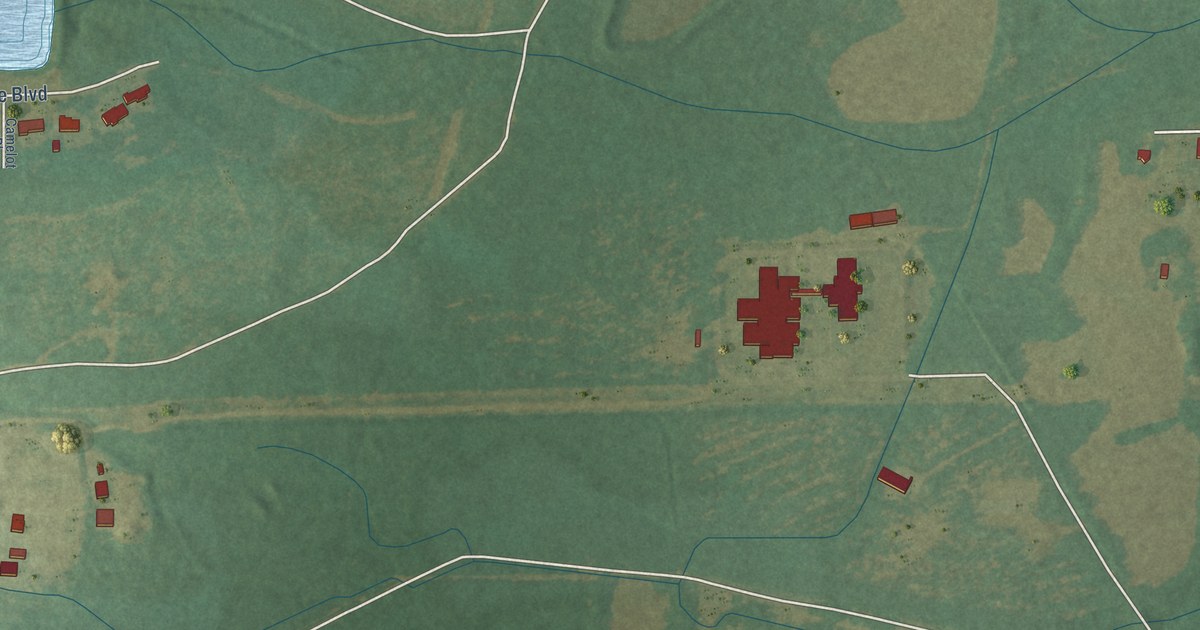
A detailed map of Mulberry, South Carolina, showing every building in its true location, the roads by name, and shaded topographical relief.
Read More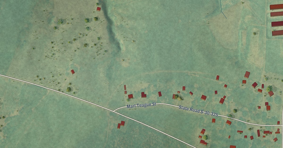
A detailed map of Mountville, South Carolina, showing every building in its true location, the roads by name, and shaded topographical relief.
Read More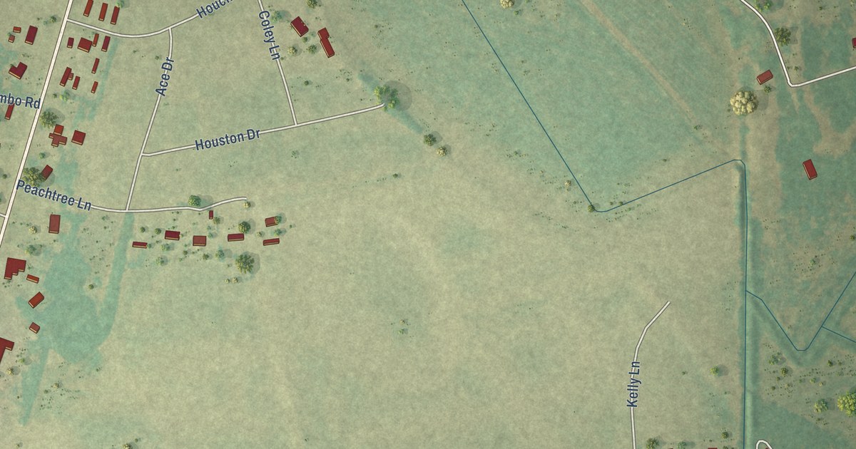
A detailed map of Manville, South Carolina, showing every building in its true location, the roads by name, and shaded topographical relief.
Read More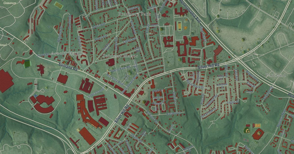
A detailed map of Suitland, Maryland, showing every building in its true location, the roads by name, and shaded topographical relief.
Read More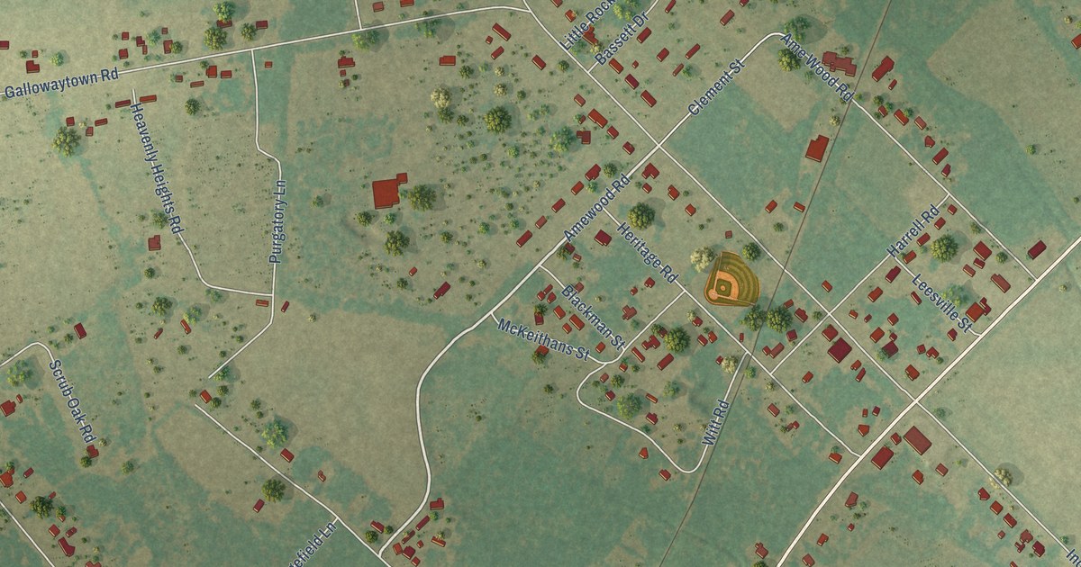
A detailed map of Lydia, South Carolina, showing every building in its true location, the roads by name, and shaded topographical relief.
Read More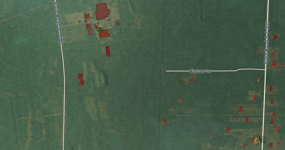
A detailed map of Lobeco, South Carolina, showing every building in its true location, the roads by name, and shaded topographical relief.
Read More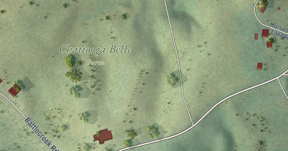
A detailed map of Longcreek, South Carolina, showing every building in its true location, the roads by name, and shaded topographical relief.
Read More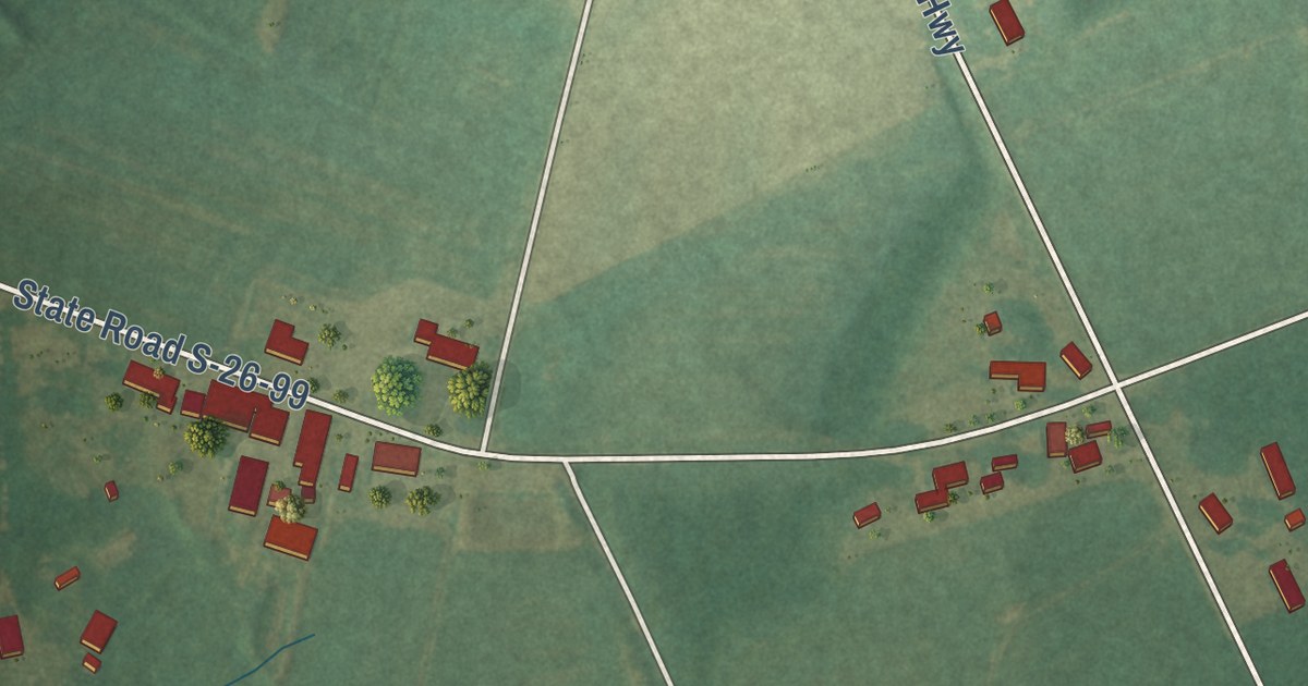
A detailed map of Ketchuptown, South Carolina, showing every building in its true location, the roads by name, and shaded topographical relief.
Read More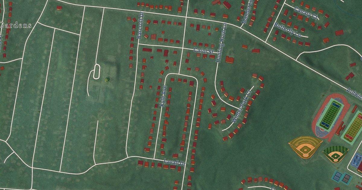
A detailed map of Springdale, Maryland, showing every building in its true location, the roads by name, and shaded topographical relief.
Read More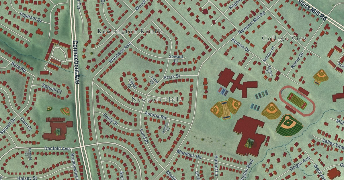
A detailed map of North Kensington, Maryland, showing every building in its true location, the roads by name, and shaded topographical relief.
Read More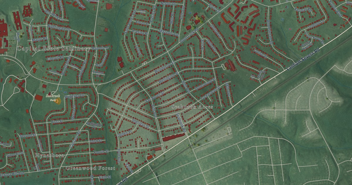
A detailed map of Seabrook, Maryland, showing every building in its true location, the roads by name, and shaded topographical relief.
Read More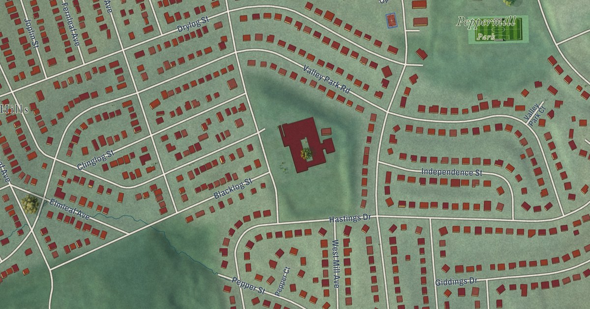
A detailed map of Peppermill Village, Maryland, showing every building in its true location, the roads by name, and shaded topographical relief.
Read More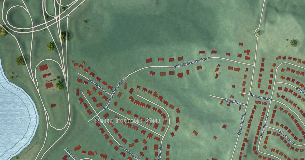
A detailed map of National Harbor, Maryland, showing every building in its true location, the roads by name, and shaded topographical relief.
Read More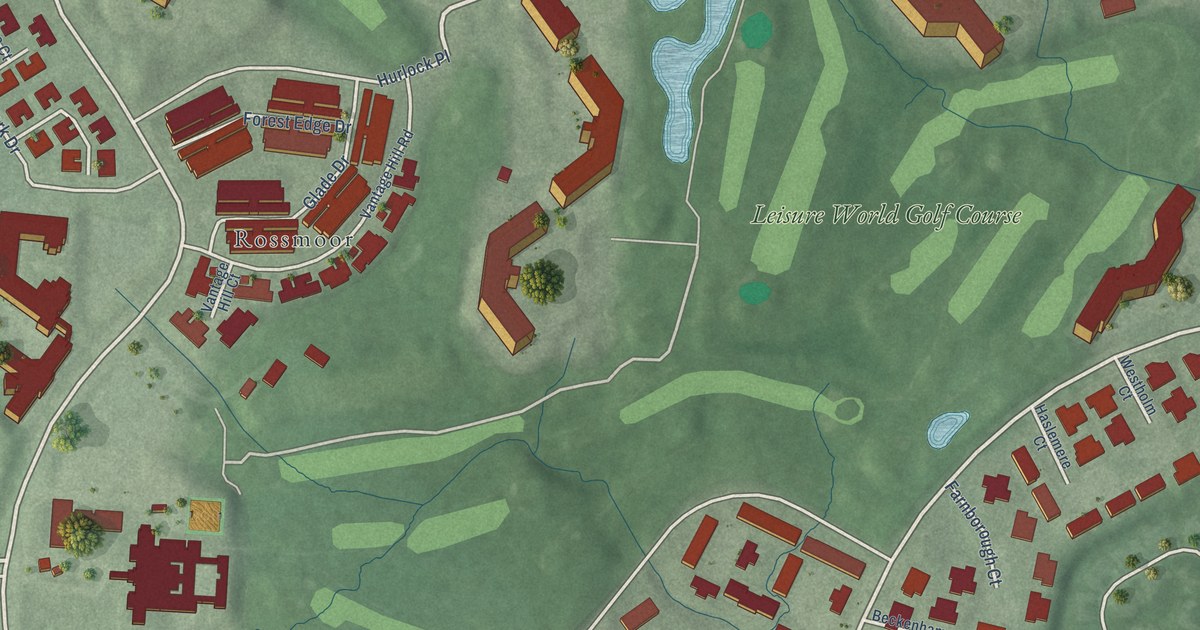
A detailed map of Leisure World, Maryland, showing every building in its true location, the roads by name, and shaded topographical relief.
Read More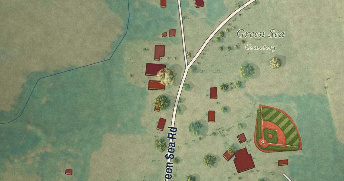
A detailed map of Green Sea, South Carolina, showing every building in its true location, the roads by name, and shaded topographical relief.
Read More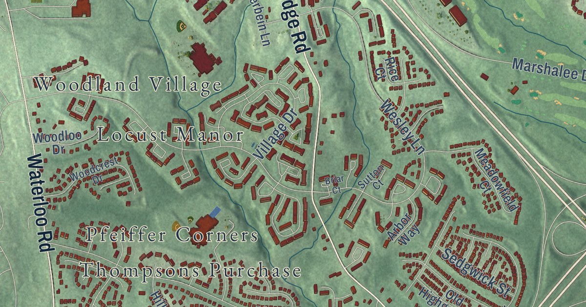
A detailed map of Ilchester, Maryland, showing every building in its true location, the roads by name, and shaded topographical relief.
Read More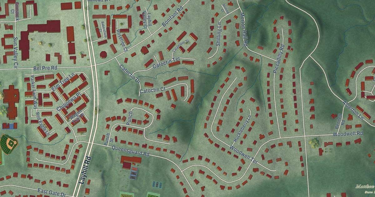
A detailed map of Layhill, Maryland, showing every building in its true location, the roads by name, and shaded topographical relief.
Read More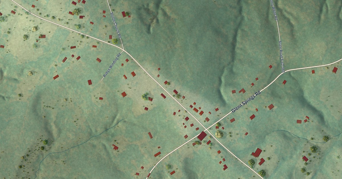
A detailed map of Glenn Springs, South Carolina, showing every building in its true location, the roads by name, and shaded topographical relief.
Read More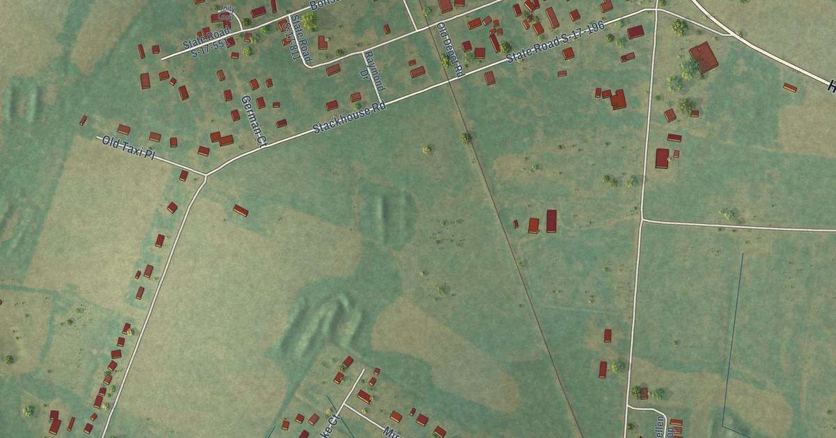
A detailed map of Floydale, South Carolina, showing every building in its true location, the roads by name, and shaded topographical relief.
Read More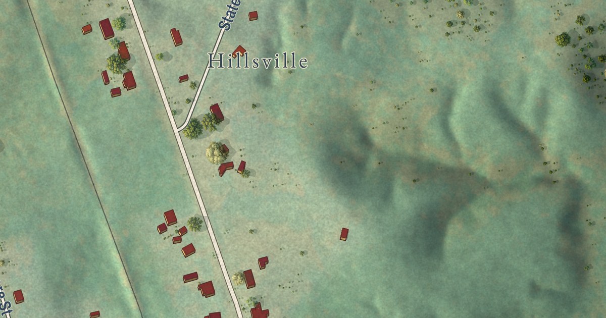
A detailed map of Enoree, South Carolina, showing every building in its true location, the roads by name, and shaded topographical relief.
Read More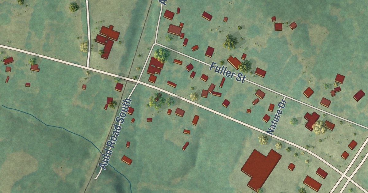
A detailed map of Coronaca, South Carolina, showing every building in its true location, the roads by name, and shaded topographical relief.
Read More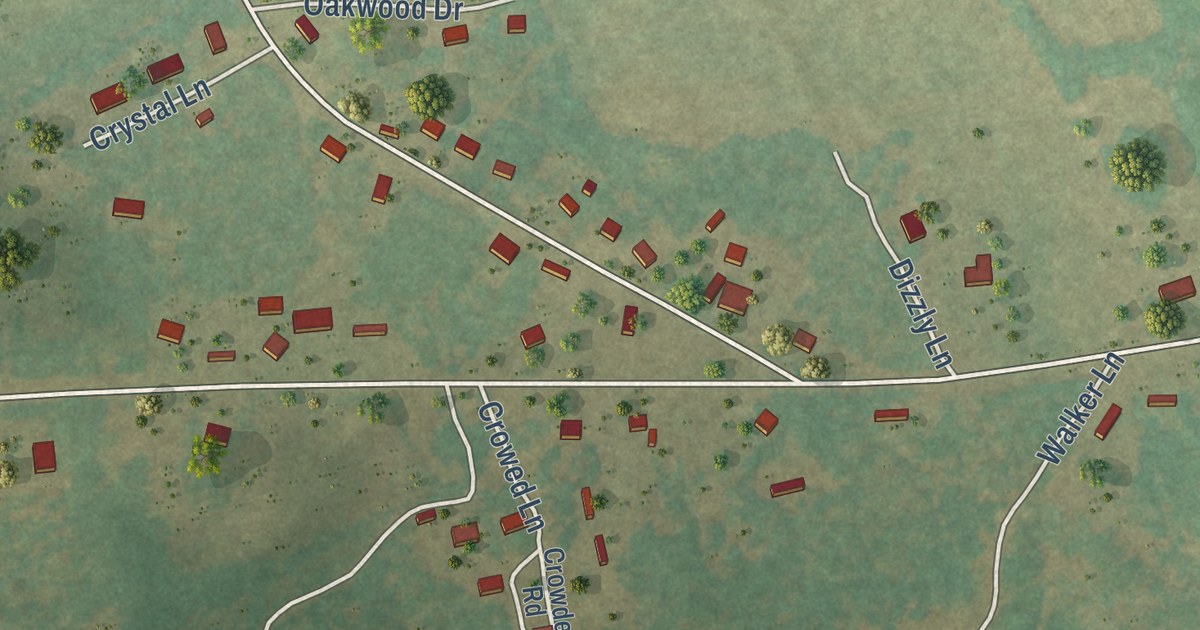
A detailed map of Browntown, South Carolina, showing every building in its true location, the roads by name, and shaded topographical relief.
Read More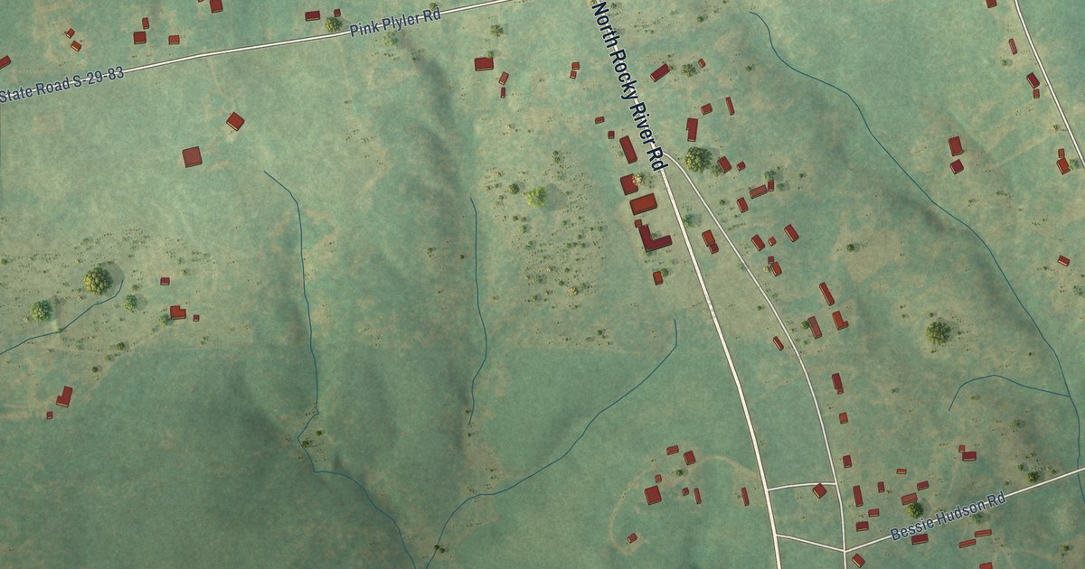
A detailed map of Buford, South Carolina, showing every building in its true location, the roads by name, and shaded topographical relief.
Read More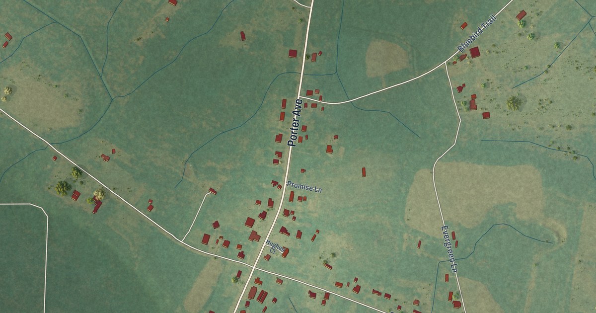
A detailed map of Grover, South Carolina, showing every building in its true location, the roads by name, and shaded topographical relief.
Read More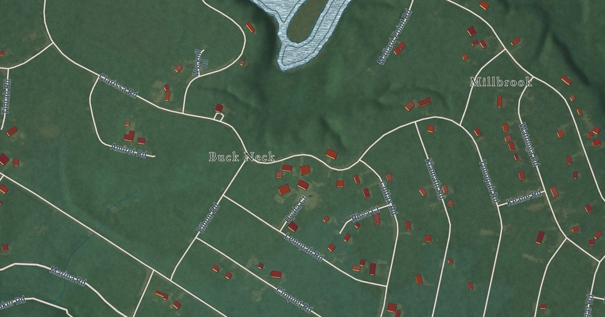
A detailed map of Chesapeake Landing, Maryland, showing every building in its true location, the roads by name, and shaded topographical relief.
Read More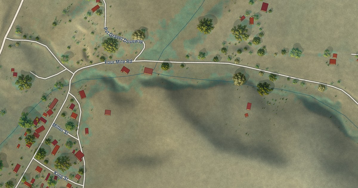
A detailed map of Viola, Idaho, showing every building in its true location, the roads by name, and shaded topographical relief.
Read More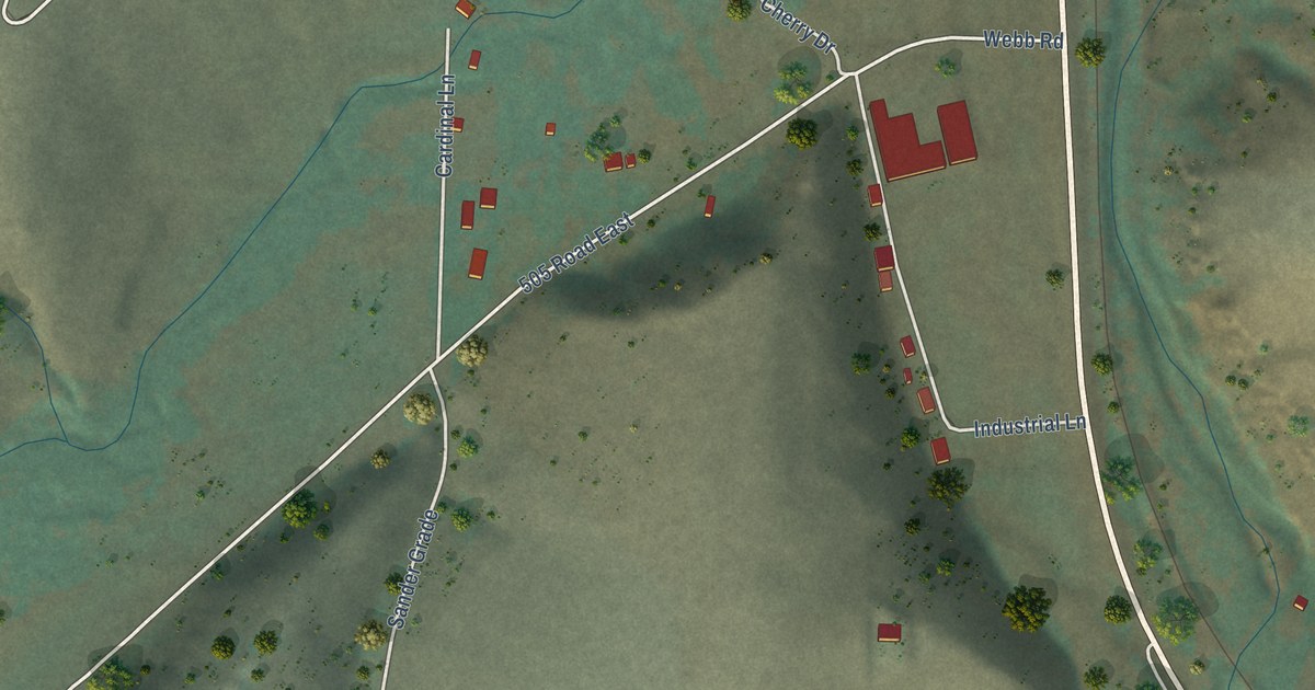
A detailed map of Sweetwater, Idaho, showing every building in its true location, the roads by name, and shaded topographical relief.
Read More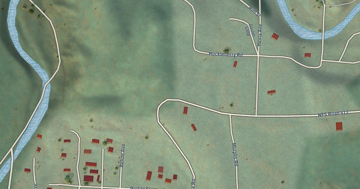
A detailed map of Yellow Pine, Idaho, showing every building in its true location, the roads by name, and shaded topographical relief.
Read More















